
near Moab, Utah
|
Gold Bar Arch near Moab, Utah |
October 13, 2019
Day #3 of the Autumn Bucket List Tour sends me up Potash Road outside of Moab, a byway that is bordered by the Colorado River on one side and hundreds of great petroglyphs on the other.
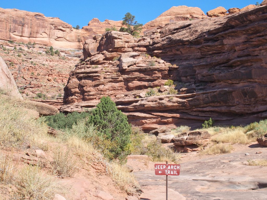
Today's destination is a lesser-visited attraction that has been nicknamed in modern times as Jeep Arch (see Addendum). The trailhead is adjacent to Gold Bar itself, about a quarter of a mile past the immensely popular Corona Arch Trail. Unusually enough, access to the trail is through a culvert underneath the railroad tracks that service the giant potash mine at the end of this road.
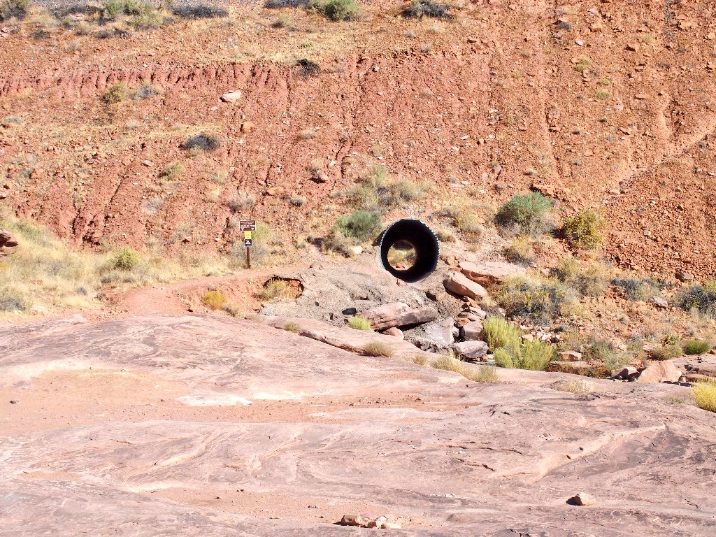
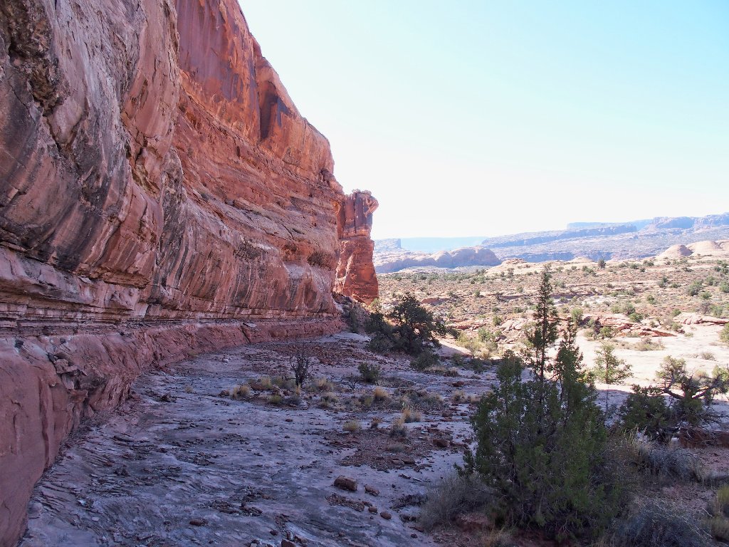
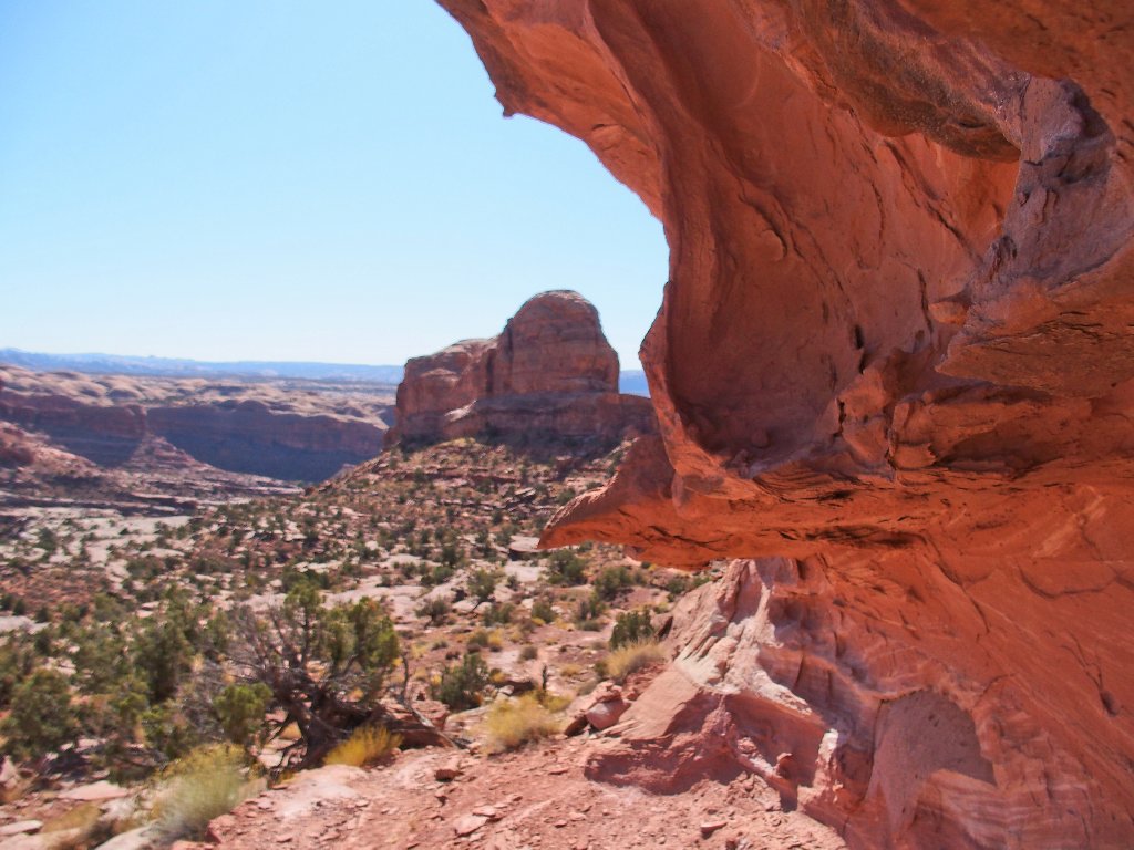
Through the rabbit hole
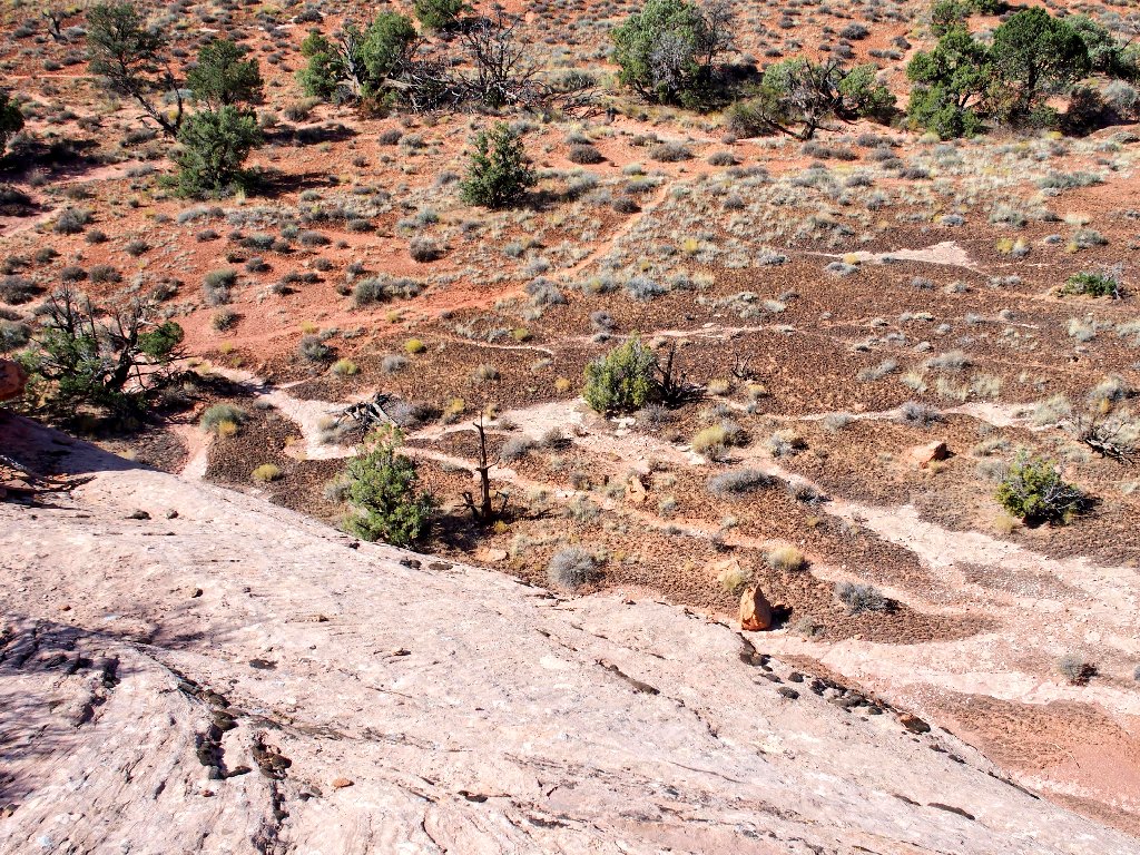
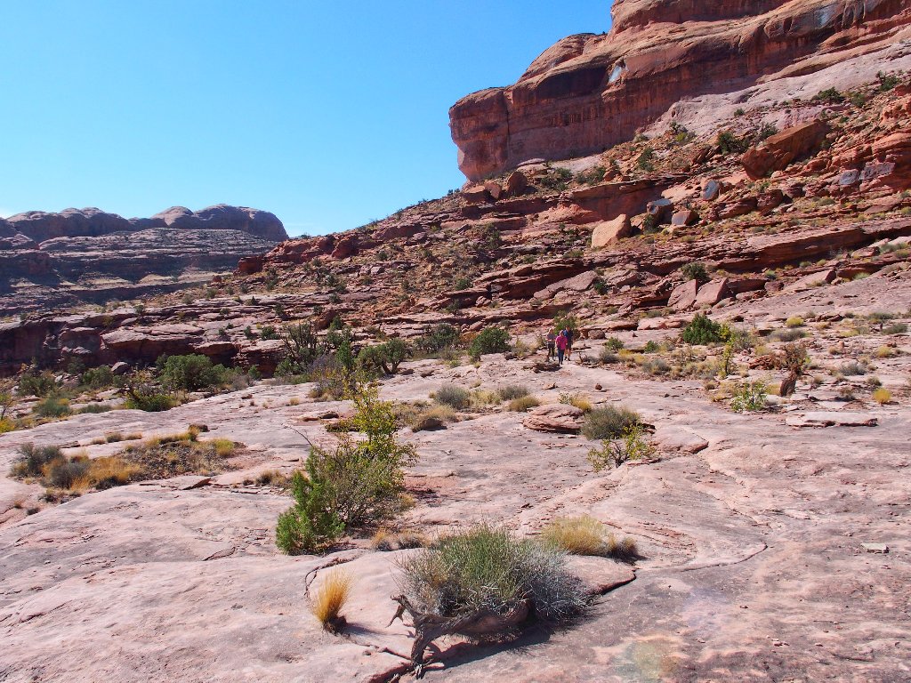
It's time to get out of the wash
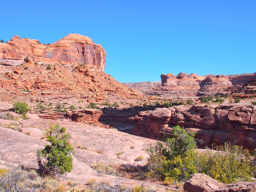
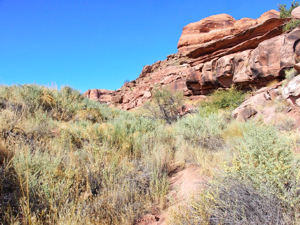
New scenery already
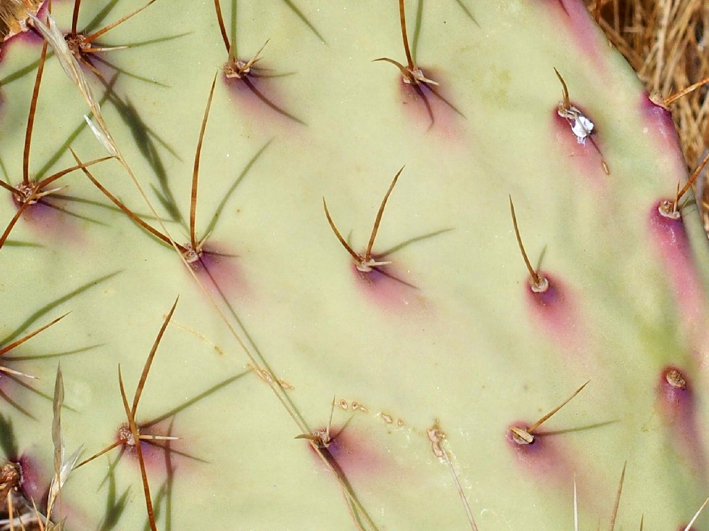
Very little is around in the way of flowers, so the camera must do what it can:
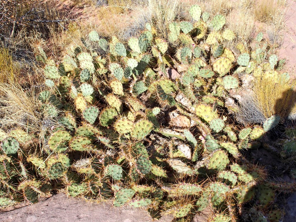
Prickly Pear Cactus
Hello! At my feet is a litte 5-foot arch that is reminiscent of the one at Devils Garden in Arches Park.
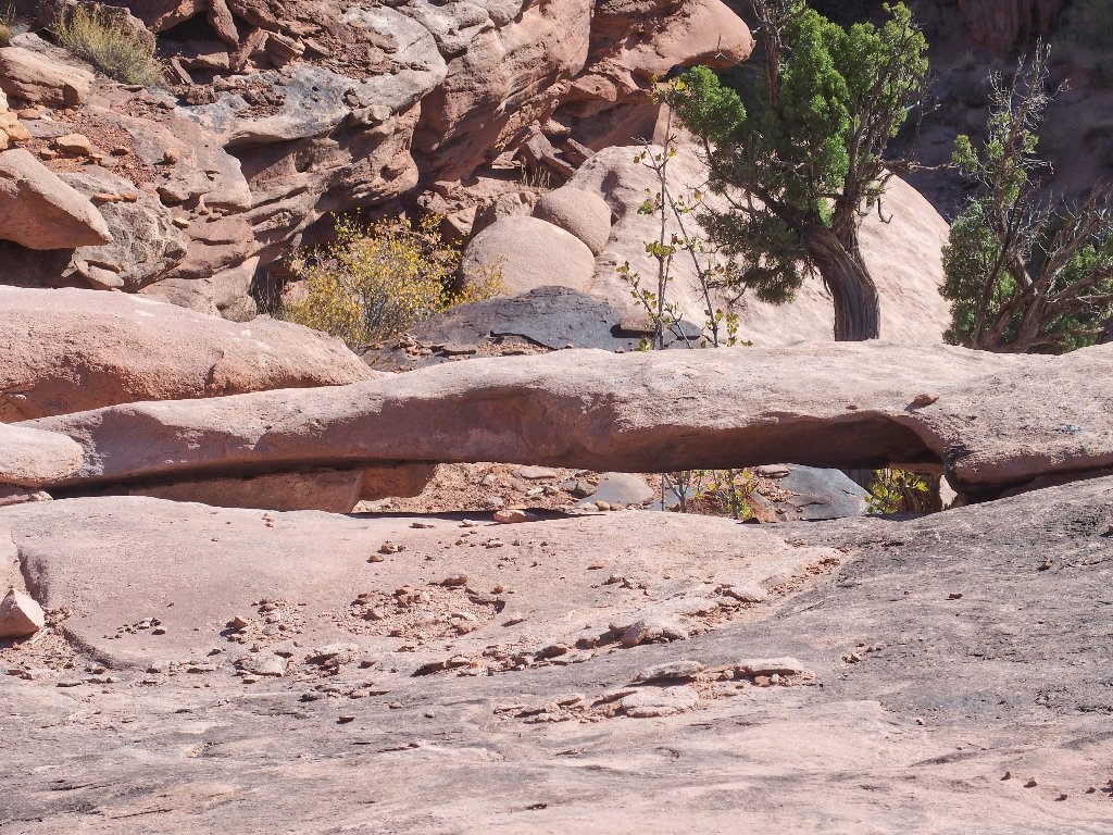
I'll call it Snake Arch
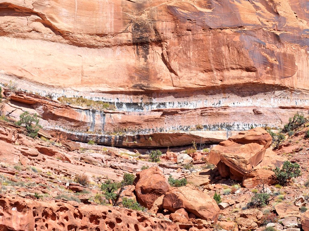
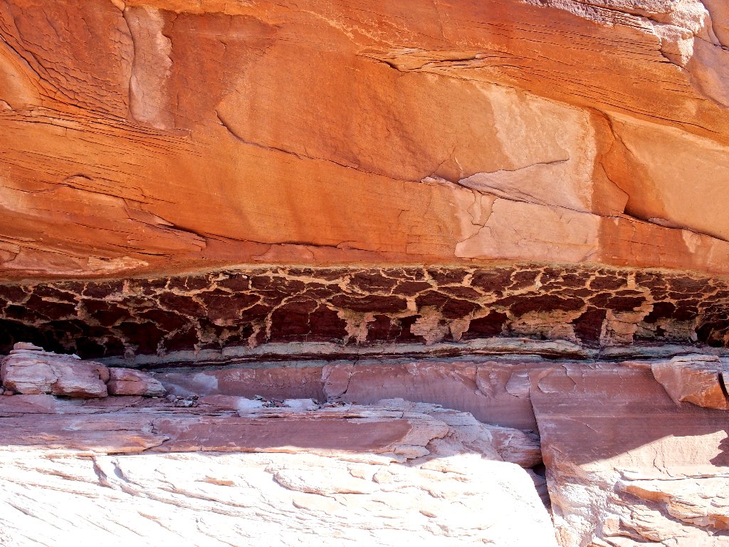
The canyon wall is leaking
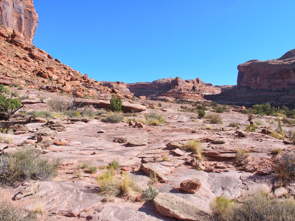
Easy walking on the slickrock
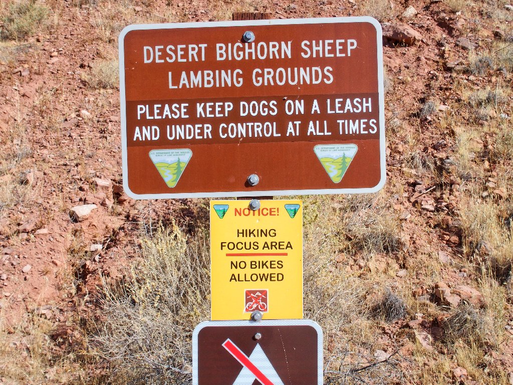
I overtake a couple with two dogs that are friendly enough. The animals were properly on leashes in the parking lot, but not any more.
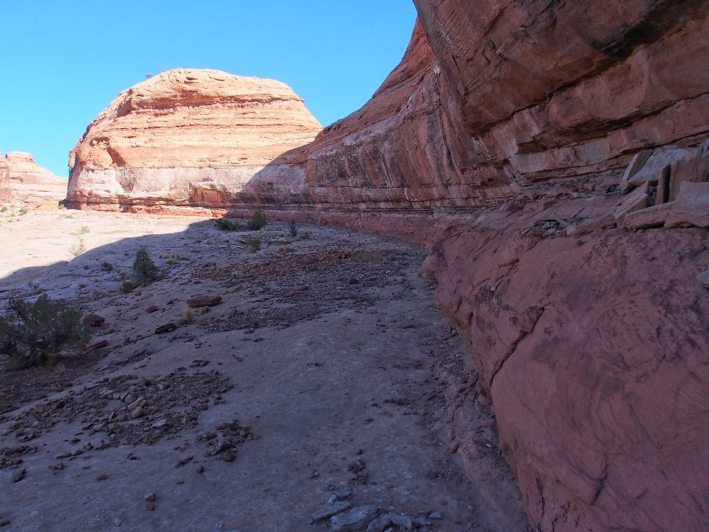
Lots of color
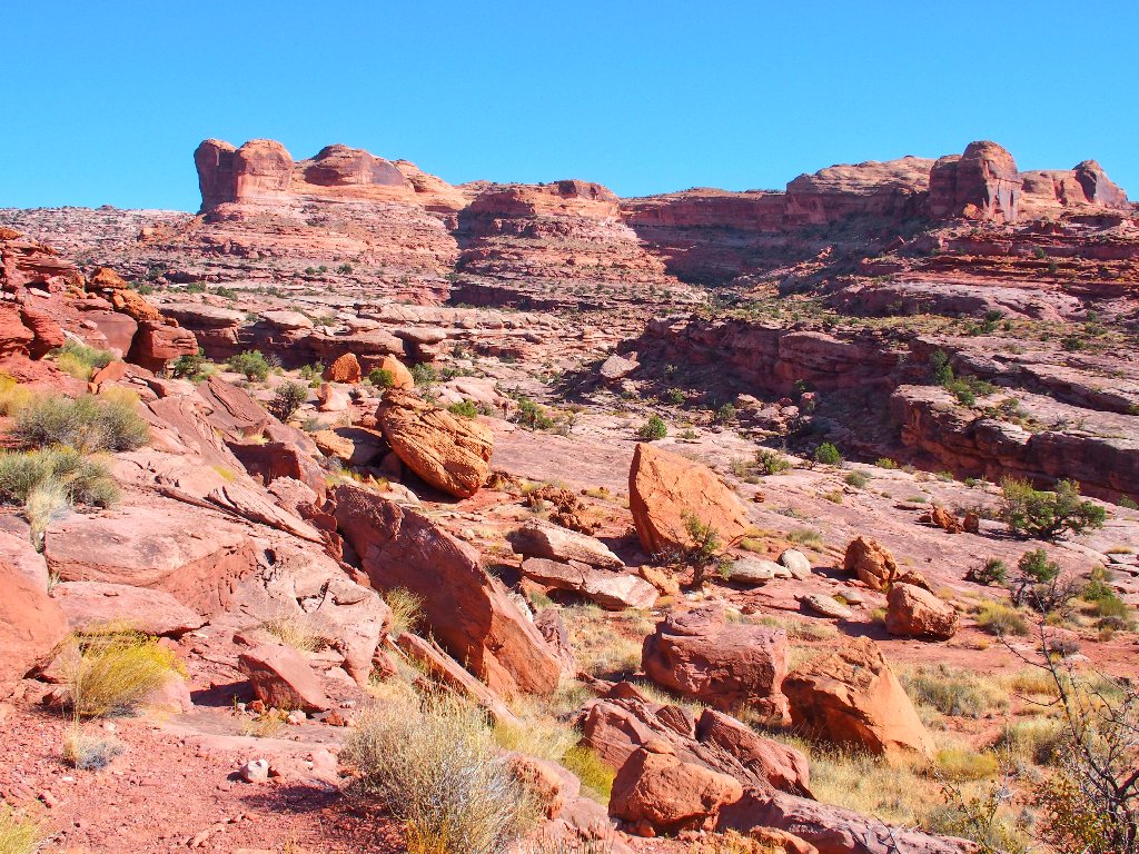
A mile or so up the trail it splits, which is reminiscent of the Hickman Bridge Loop over at Capitol Reef Park.
Opting for the 'high road' on the left
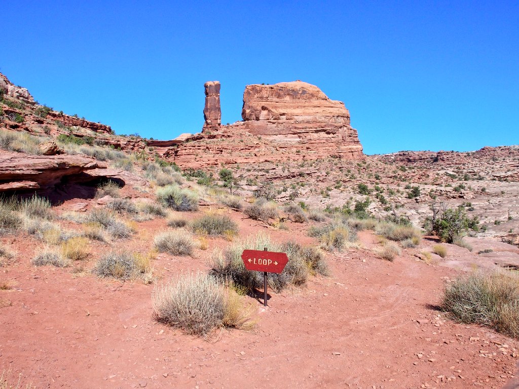
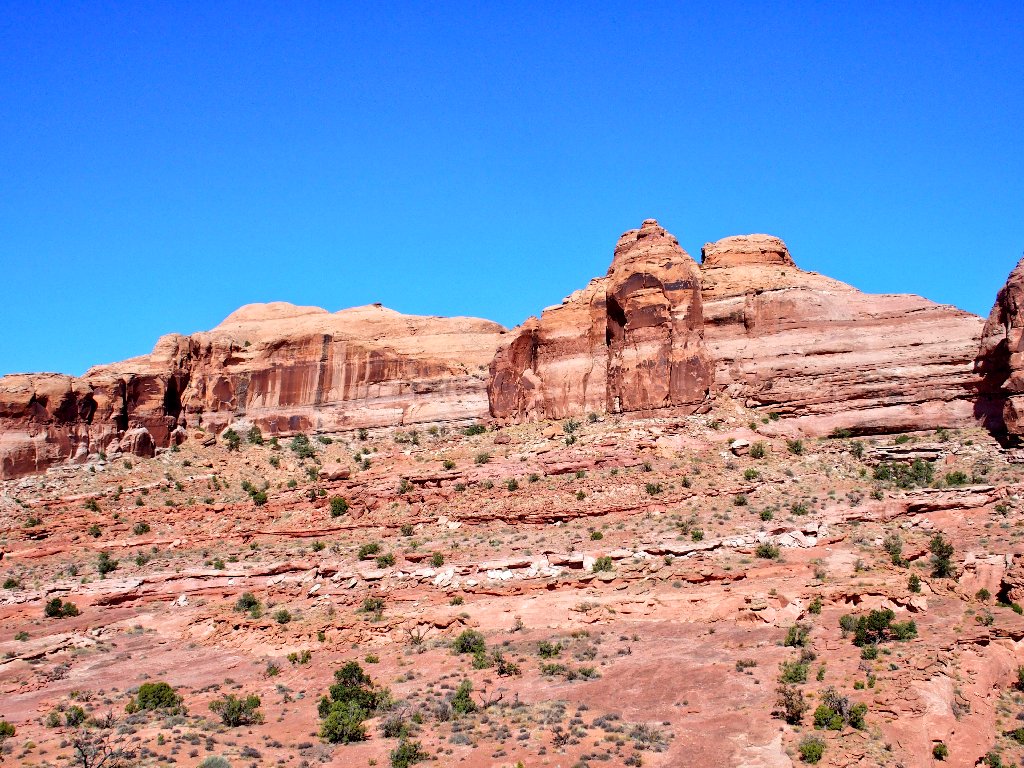
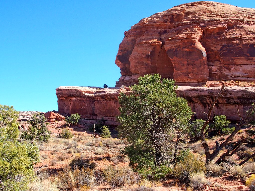
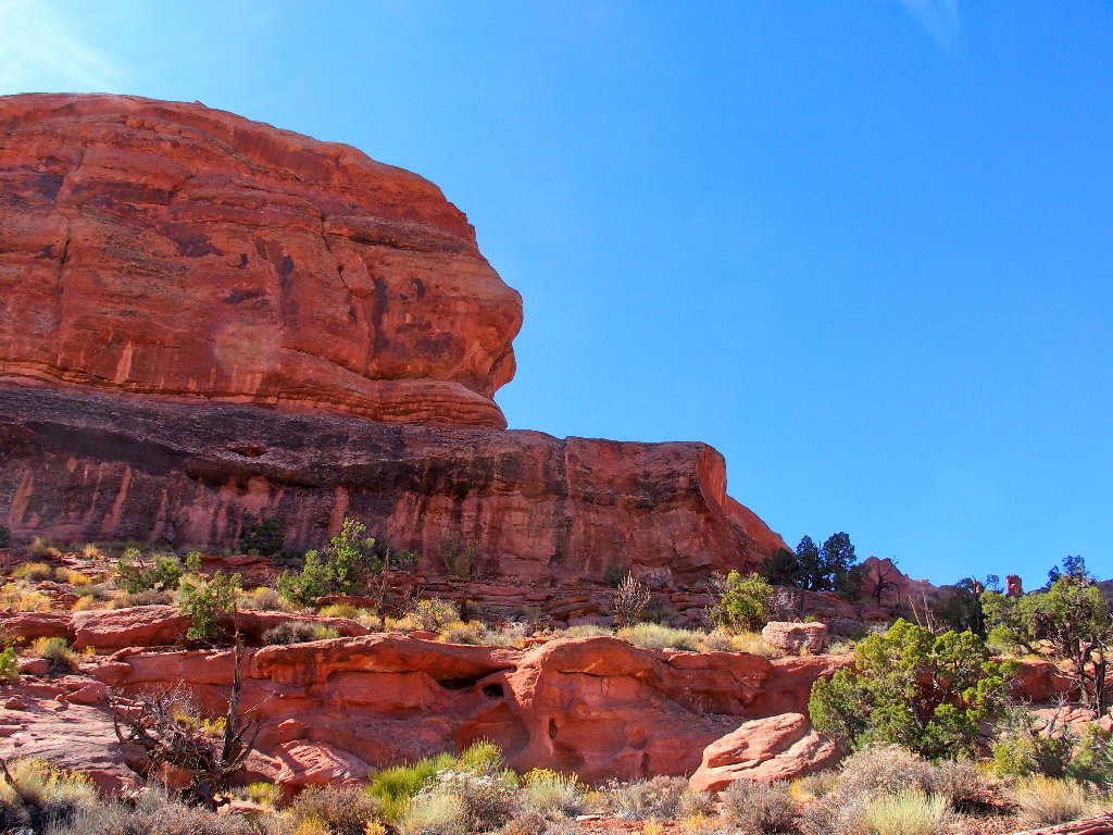
That's an interesting pillar up there.
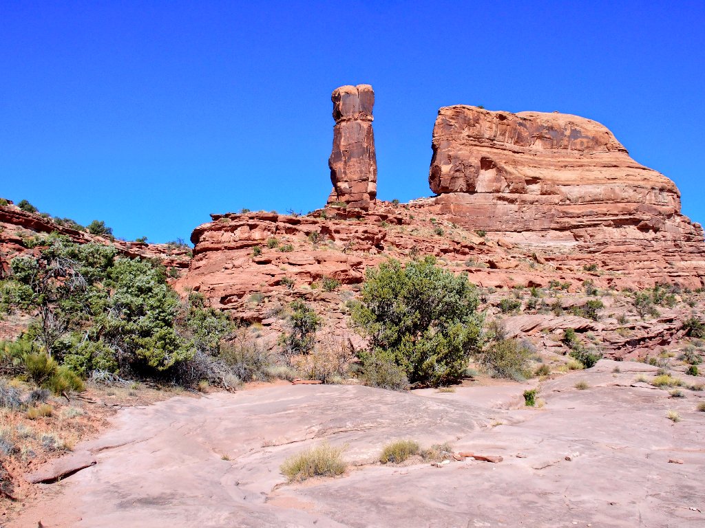
Distinctive landmark
What? It seems that I must climb up right to it, which is not so easy.
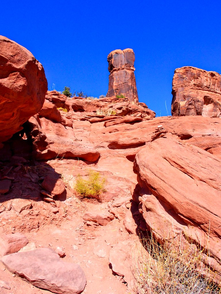
3rd-class scrambling required
In fact, in a couple of places, hands and feet are not enough; some kneeling is required as well.
In the shade of the great pillar
Nifty formation
From here there seems to be a choice of staying up on the rocks or going down to
ground-level. Cairns lead in both directions; so naturally I choose the
higher, prettier route.
Hugging the cliff is fun — and shady
Oops! This is a dead-end. There is big drop-off in every direction excepting the one from which I came.
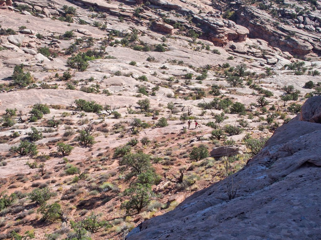
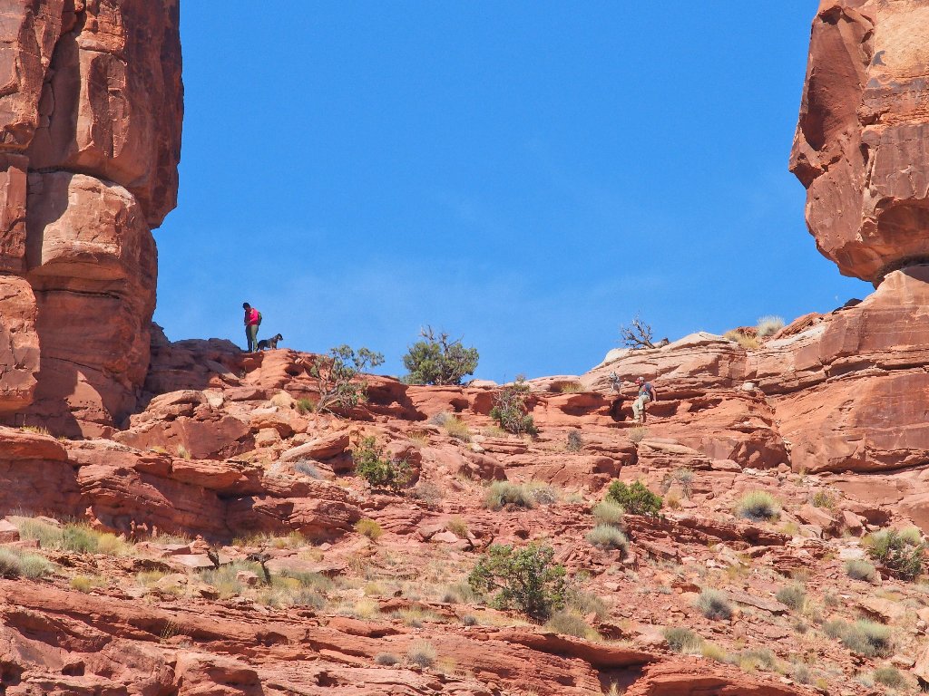
The couple with the dogs has opted for the lower trail
The two of them wave at me, then press on, being unaware of my plight.
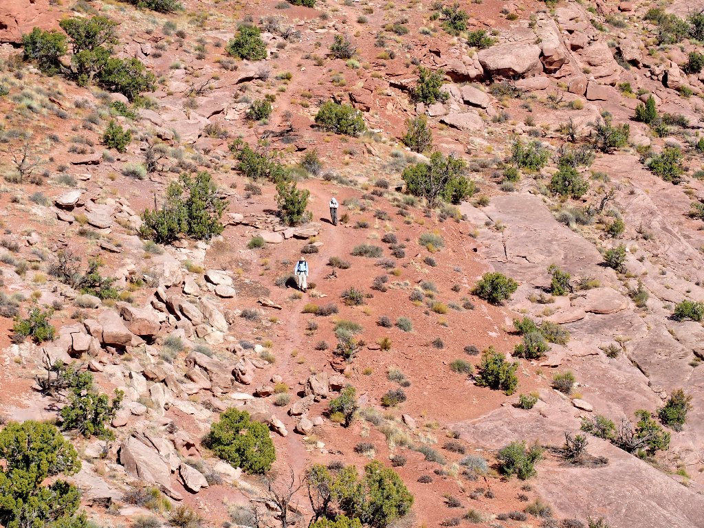
Another couple returns from the arch
It must be up in there
It is necessary to backtrack a couple hundred yards to a place where I can get off this rock.
My trail is down there
That's where I was
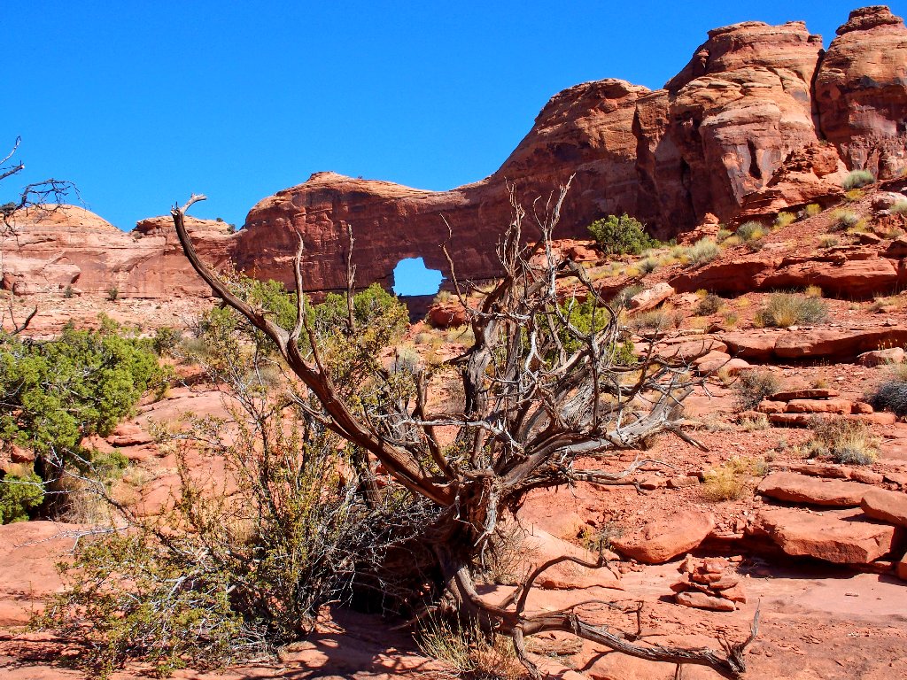
Finally making forward progress again, it doesn't take me long to 'see the light'.
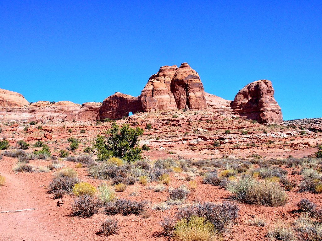
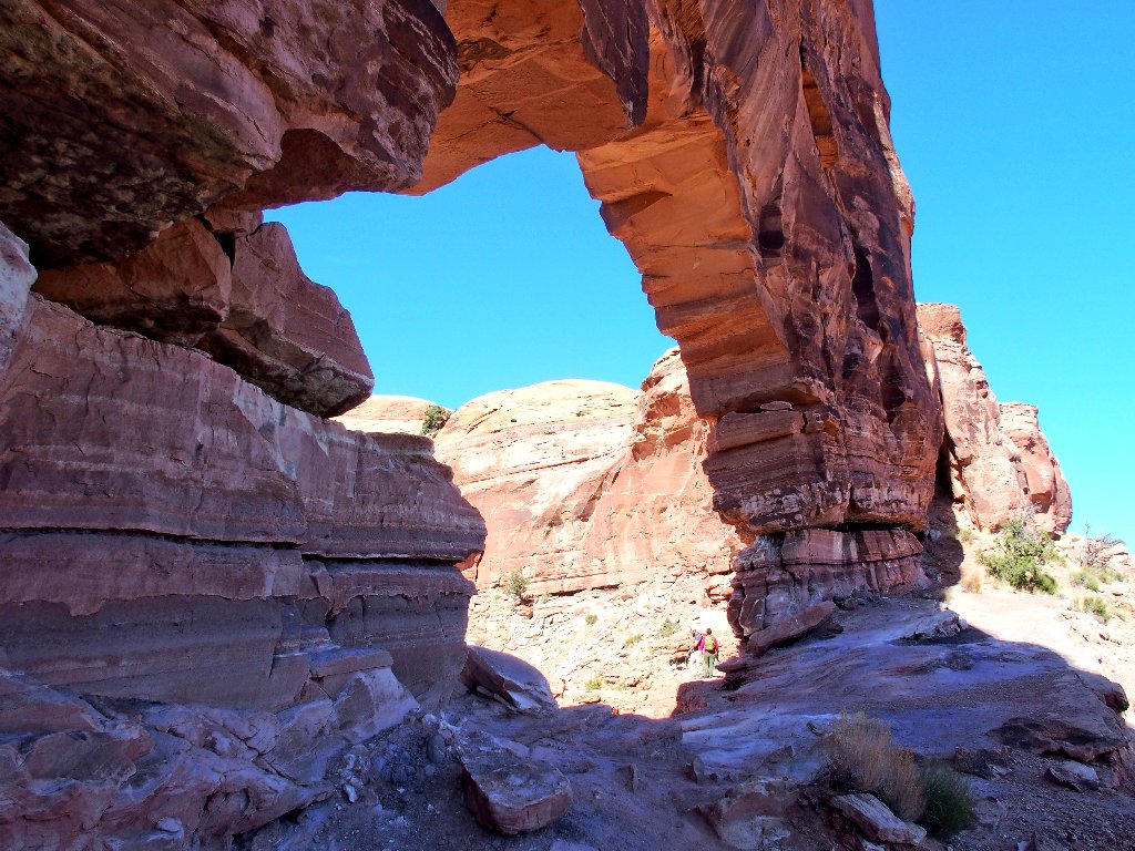
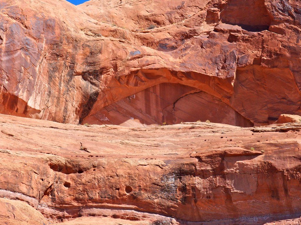
First view of the big span
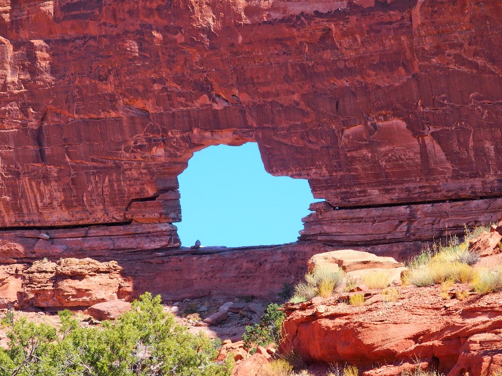
Yep, it does resemble a 35-by-40-foot Jeep
The final challenge is getting up into the opening. Over to the left is a little
slot in the rock that enables another four-point ascent to a narrow ledge that
leads to the hole.
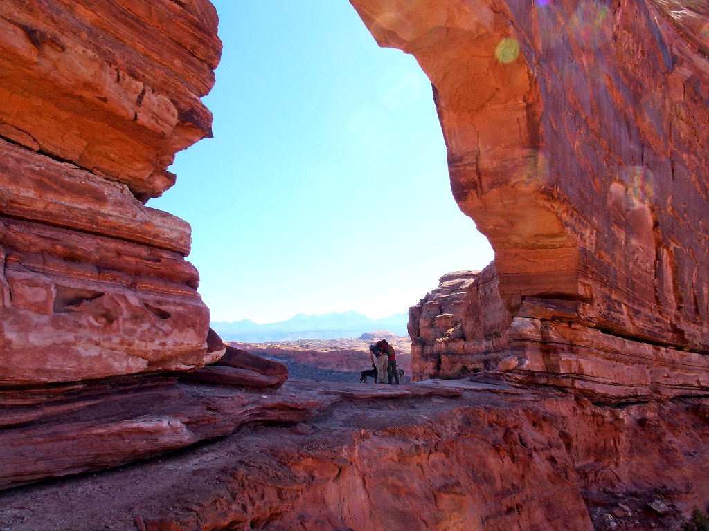
The others also have just arrived
Wow! This place is spectacular.
This is why I go hiking
I pause only long enough to munch a few grapes, then start down the other side.
They are heading out the way I came in
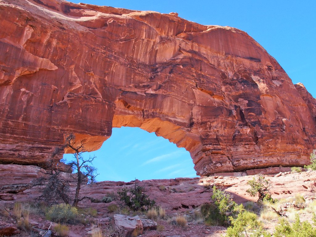
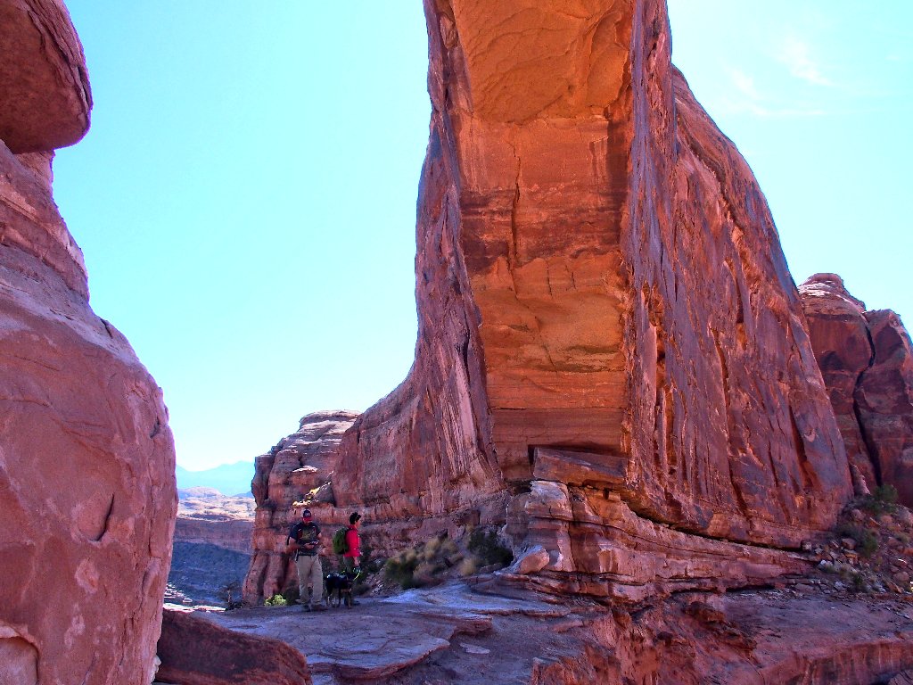
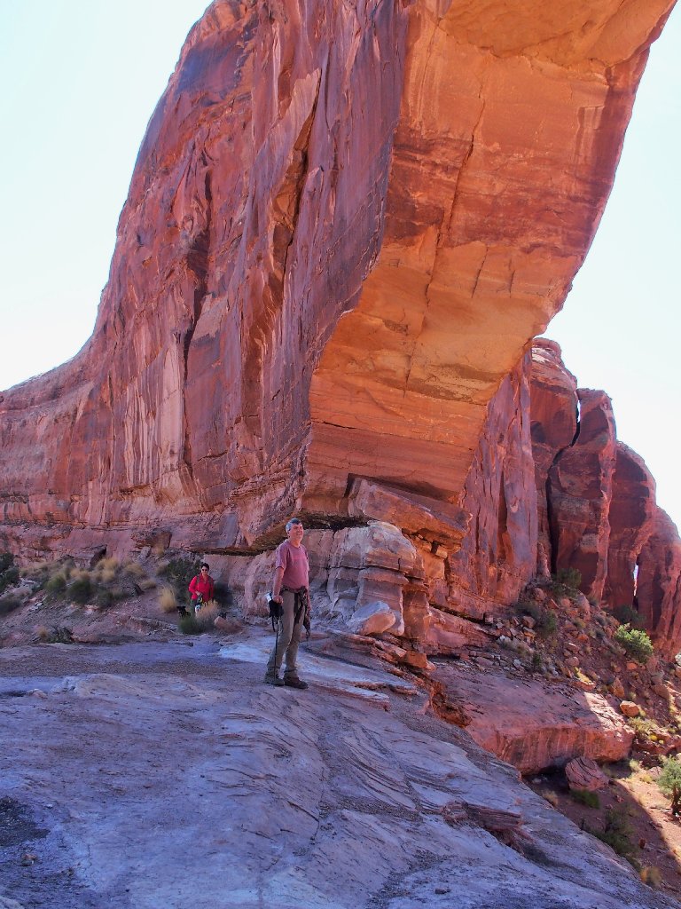
It looks more like a '48 Chevy Coupe from this angle
Last view of the arch
Presently I run into a horrid section of trail that requires five points of contact, including the seat of my pants.
My knuckles are white for a time on this one
There would have been little to it if climbing upward, but that's how it seems to work.
That's where I got cliffed-out earlier
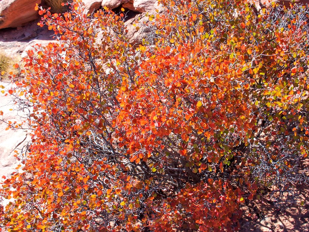
Fragrant Sumac, the most color on today's trail
They have found the other tough section
Company arrives
In fact, more than a dozen hikers pass by altogether.
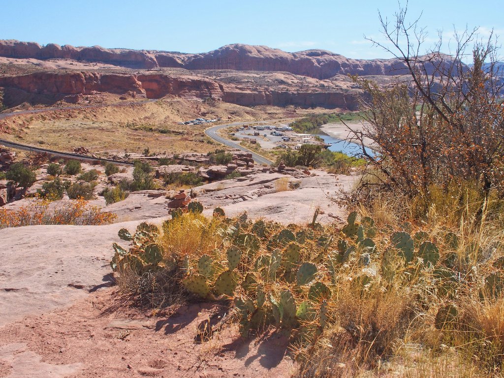
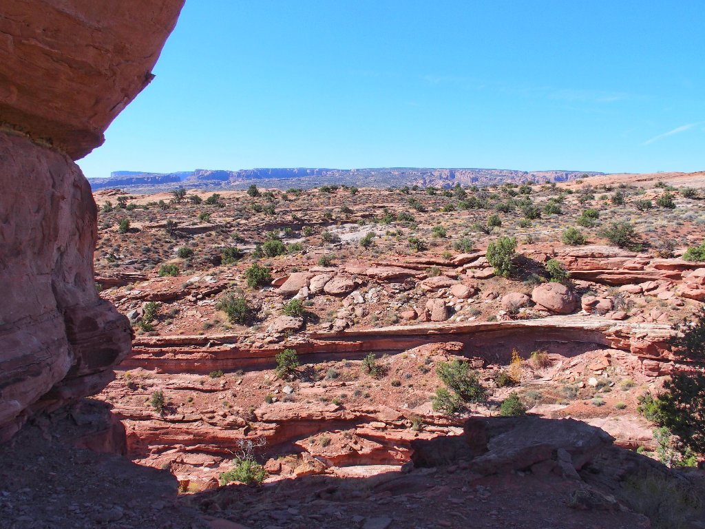
The Corona Arch trailhead and a bikers' camp in the distance
Those bikers are headed for the wildly popular Poison Spider Mesa, which includes all the area in the background of the prior photograph.
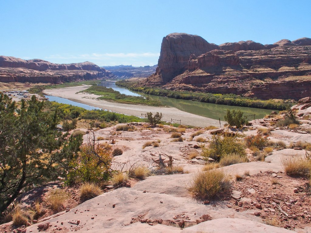
Gold Bar in the Colorado River
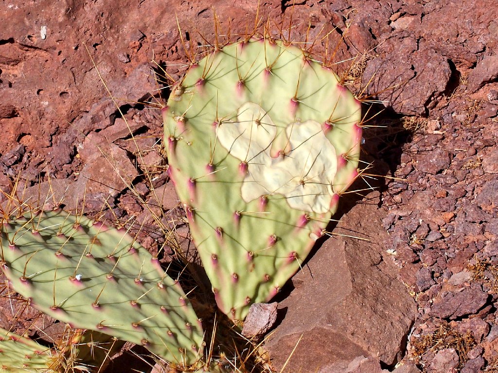
Up close with some Tulip Prickly Pear
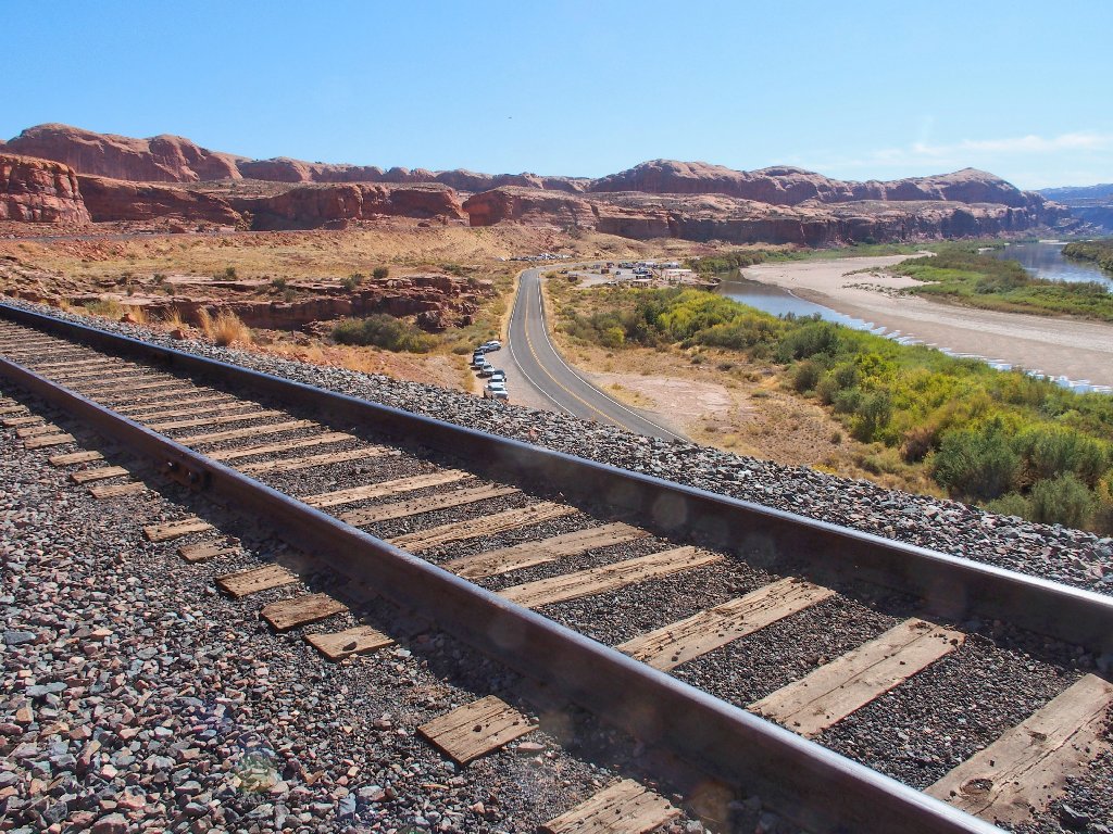
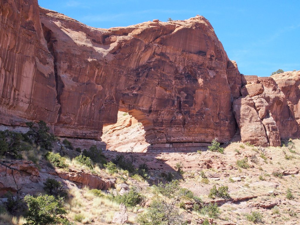
No, the trail goes under these tracks, not over them
That will be a real arch before long
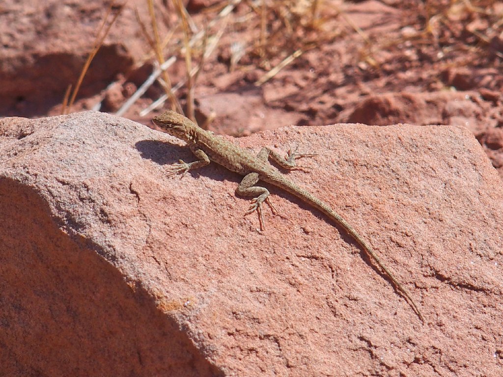
The day's wildlife entry
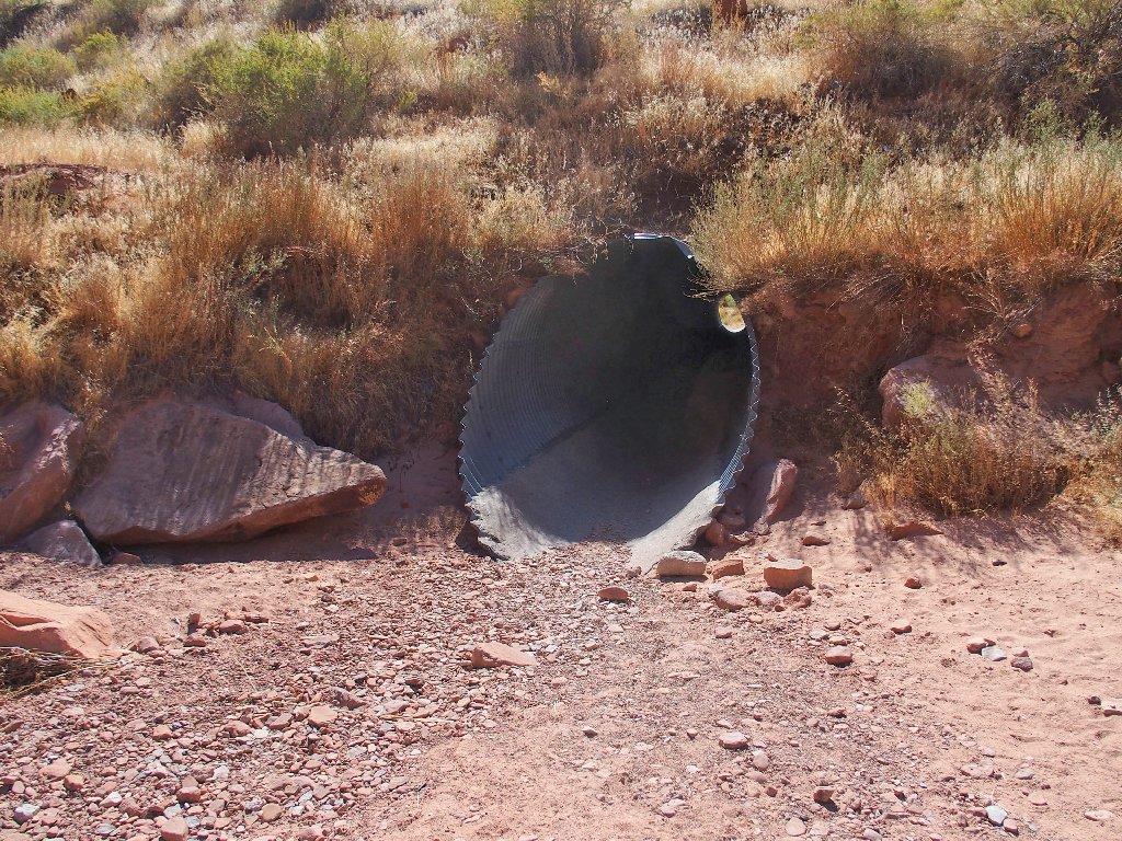
Back through the rabbit hole
§: Well, that was great fun — more so than I had anticipated.
Loop walks always add to the enjoyment as well. Were I to return with any little
ones in tow, I would have a rope handy for that especially bad section.
| Scenery |  |
| Difficulty | |
| Personality | |
| Adventure |  |

ADDENDUM
There is much confusion about the naming of certain local arches.
I emailed one blogger named Bob who has an otherwise credible site, but who
seems to think that Pinto Arch and Jeep Arch are one and the same. Some intelligent
thought, however, would confirm that the oldtimers were not in the habit of naming things
after models of automobiles, especially when such things did not yet exist.
The word "pinto" had a different meaning for them. Besides, it is Gold Bar Arch
that has the vehicle-shaped outline; hence its modern nickname.
The well-known arch-hunter Chris Moore (r.i.p.) also misplaced Gold Bar Arch
down where Pinto Arch actually is, many times in his publications. Also, I just
edited the Wikipedia page for Corona Arch, on which the author had created additional
naming confusion by adding Bowtie Arch to the mix, possibly after reading a misguided
reference published by a J.D. Tanner.
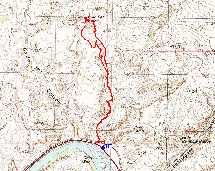
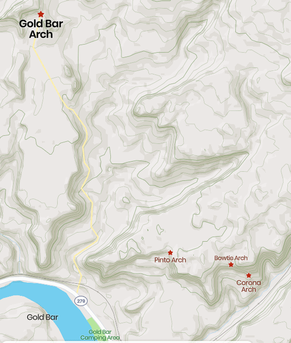
Apparently, however, none of those people ever bothered to look at any credible map of the area. The old USGS topo sheet (shown above) clearly identifies the positions of Gold Bar and Pinto Arches, and this recent Mapcarta equivalent accurately portrays the facts as well:
Two days from now, I will show you what Pinto Arch looks like; then, the Ted's World photographic record of all four arches will be complete.
