near Green River, Utah
|
Colonnade Arch near Green River, Utah |
October 11, 2019
My Autumn Odyssey has begun — and as usual, I'm back in southern Utah.
The plan is to knock off more bucket-list items for two weeks, then meet my buddy
Gary for two days of photography before heading home.
After driving some 750 miles yesterday just to get over here, I find the weather
unseasonably cold; in fact, early this morning the outside air temperature was just
11 degrees fahrenheit on a mountain summit near Salina. The forecast is
for better things to come, however; and that's great news, because I did not go to all
this trouble for a winter vacation.
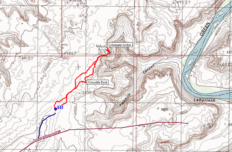
The explorations begin at two great pictograph sites in the San Rafael Swell; then I
head east on the road that accesses Horseshoe Canyon, home of North America's finest
pictographs. Those were on last year's menu, however; so today I continue past
them for a total of thirty-eight miles on some occasionally dicey roads in order
to visit a couple of little-known attractions.
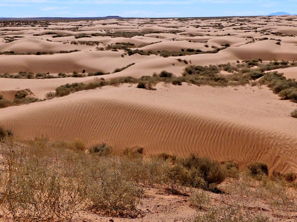
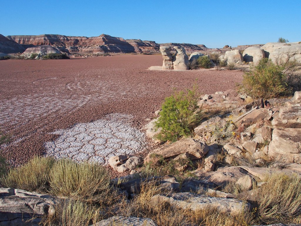
Roadside sand dunes in the San Rafael Desert
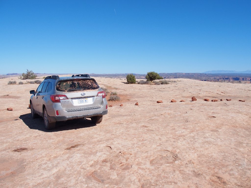
This back road ends unceremoniously on a big rock slab that is cordoned off by boulders so that one gets the message.
The walk starts here
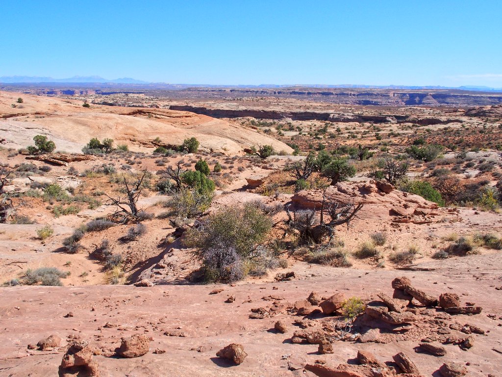
The destination is down there somewhere
Actually, there are two destinations today. The first is an off-trail anomaly
that I have read about. Having loaded ostensibly correct coordinates, the GPS
should guide me to the spot. Surely enough, after half a mile of up-and-down
slickrock scrambling, I am there!
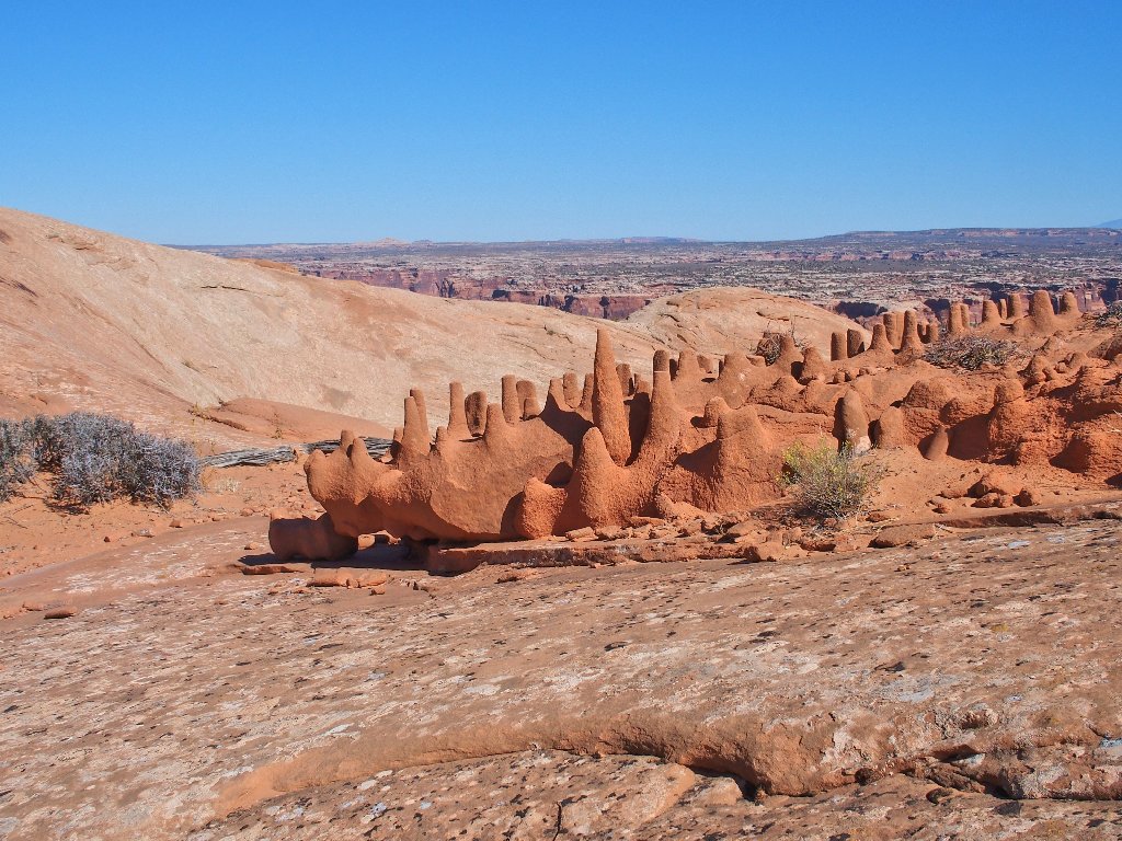
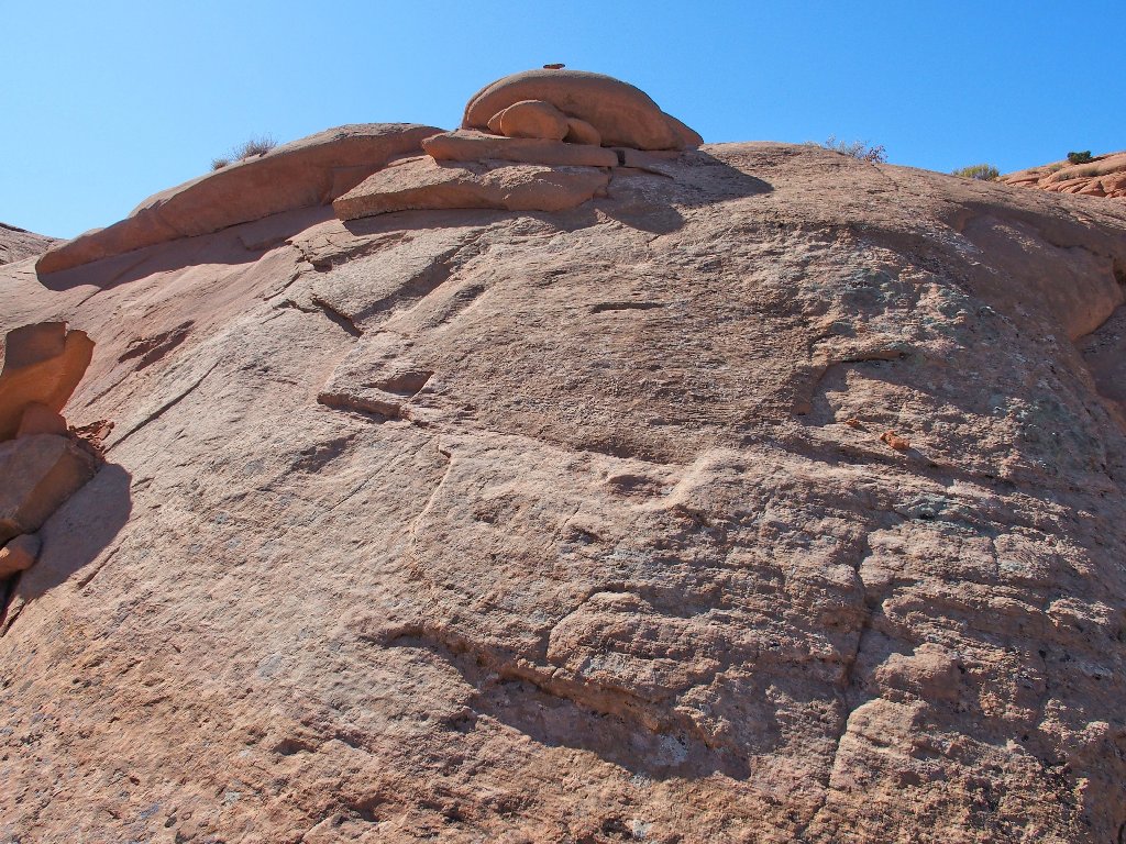
Crocodile Rock
Wow! As anticipated, I never have seen anything quite like this formation.
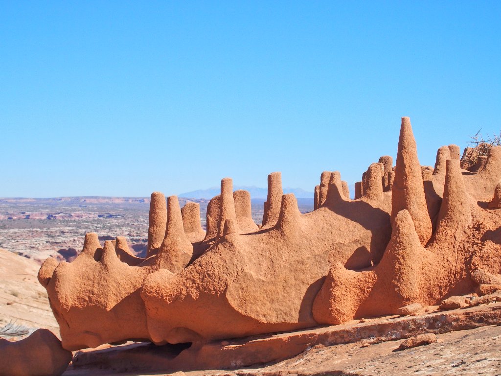
One blogger calls it the "Dragon's Teeth"
Apparently some hikers have been unable to find this thing. Without some helpful coordinates that would be a problem, for it is well off the trail of cairns that adorn the slabs above.
Last look at this one-of-a-kind phenomenon
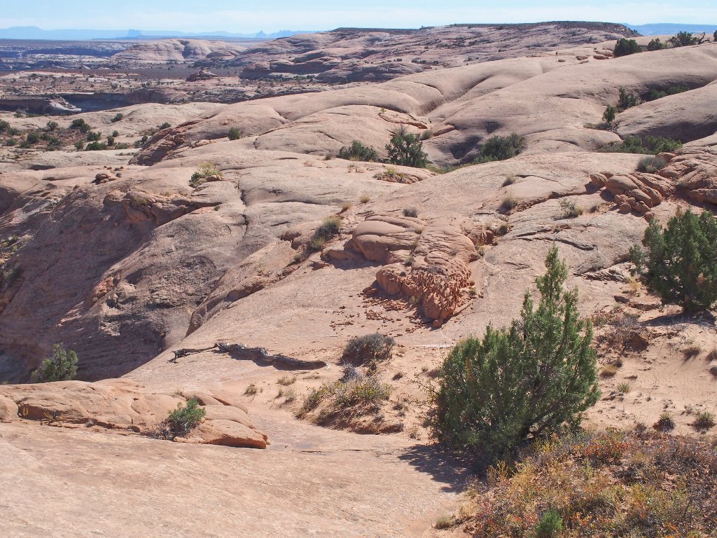
The next attraction is another mile to the north. Following the markers proves
useful in some spots, for they prevent me from becoming cliffed-out.
It really doesn't matter which route I choose, however, as long as I don't step off
the precipice.
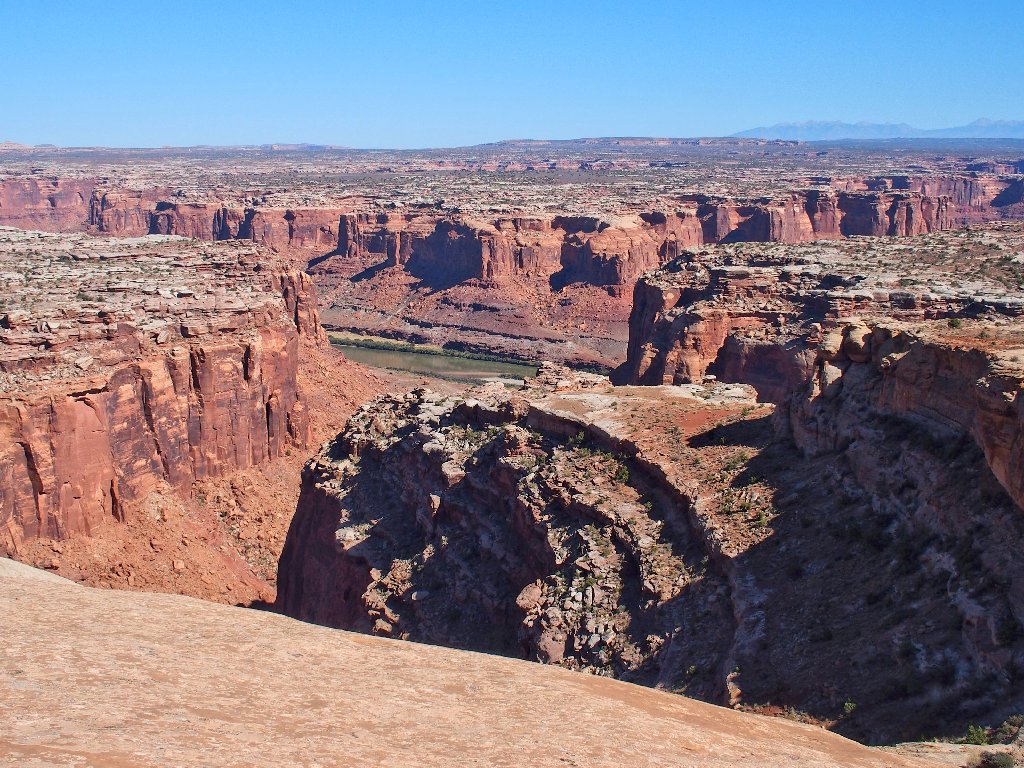
The Green River in Labyrinth Canyon
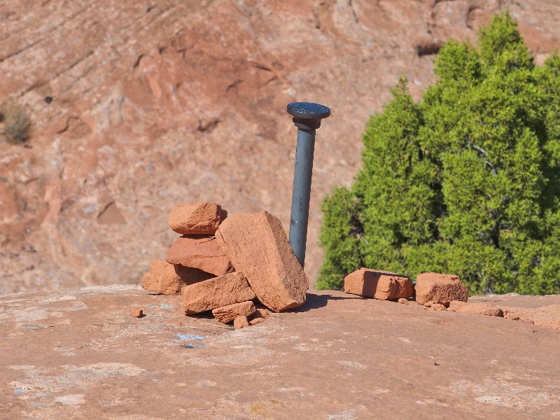
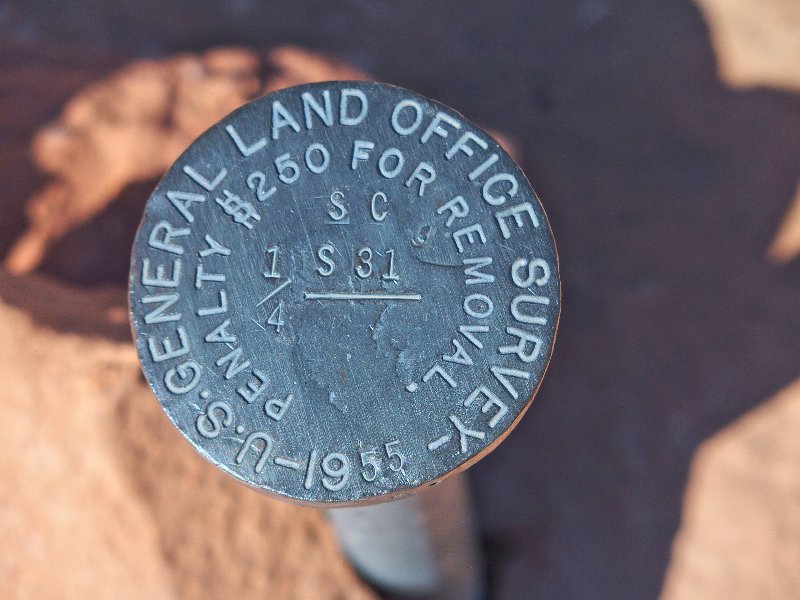
I wonder whether the fine still is just $250, sixty-four years later
Although most of the travel is easy, one spot proves problematical. I opt to 'play it safe' and slide down the rock on my fanny.
Getting back up later should prove interesting
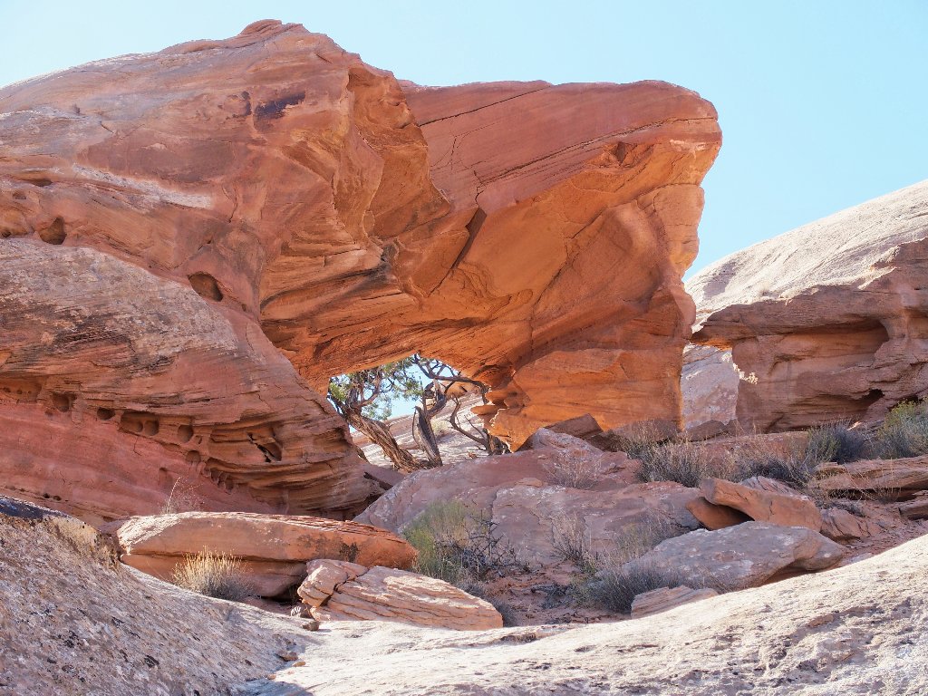
A few minutes later, my efforts are rewarded; I have arrived!
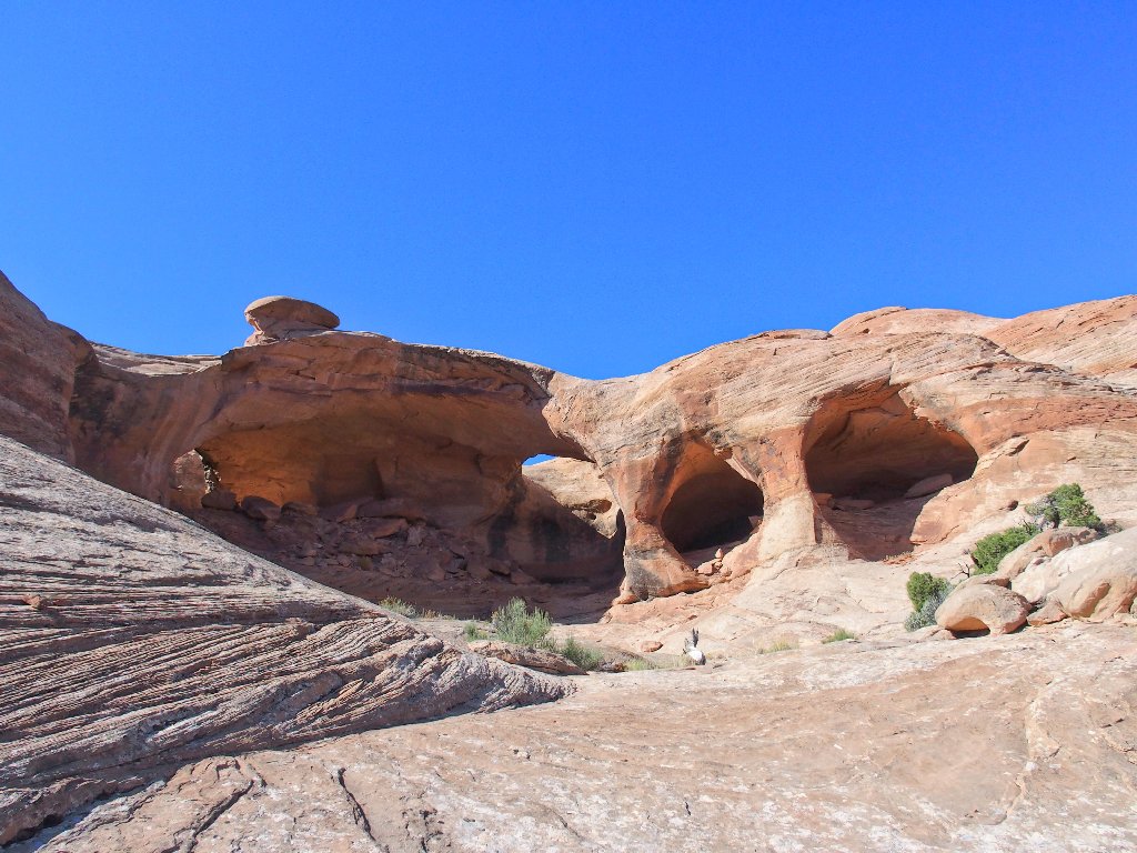
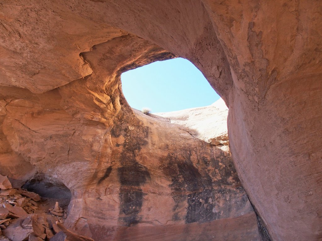
Colonnade Arch –aka– Five Hole Arch
Scrambling around up here requires some care — especially because I have not brought along a walking stick. In fact, I haven't used one at all since I smacked a sidewalk with two right fingers several weeks ago during a silly bicycling incident.
The leftmost arch, above and below
Actually, 'Five Hole Arch' is a misnomer as far as I am concerned, because there are only four discrete openings. If the hole in the cave's roof were missing, there would be only three distinct arches with just two vertical columns separating them. It really doesn't matter, though; for this is a pretty special place.
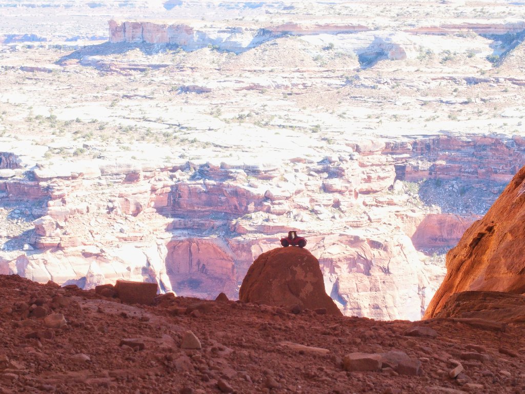
I'll be seeing more of those La Sal Mountains soon
Plenty of color in here
Composing the best photograph of this formation is not so easy; a wider lens would have proved useful.

This is why I go hiking
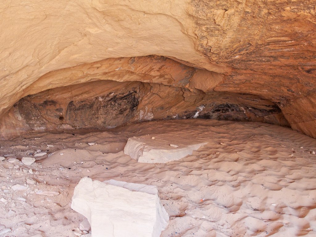
The back of the cave
Carmine poses nicely
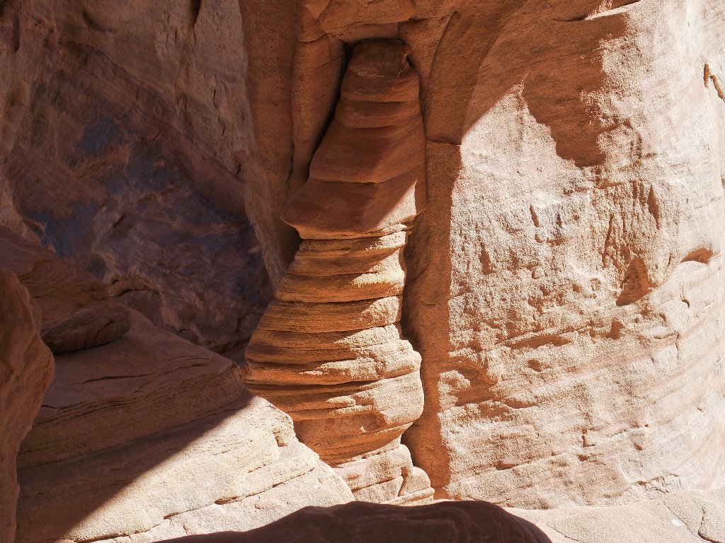
Is that pillar holding up the whole thing?
After a short snack break, it is time to head back; for there still is much to do.
That's the way out of here
Around the first corner I spot something that went unnoticed earlier:
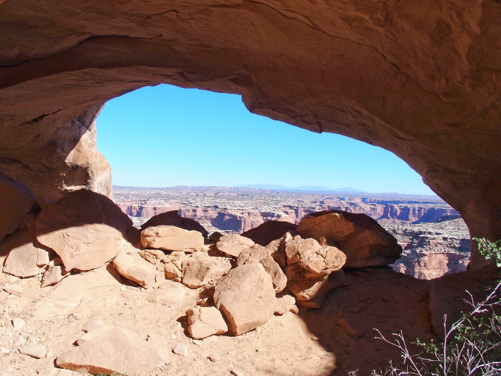
One writer calls this Access Arch
That would make sense, I suppose, if one were up on what might be a marked route on the other side. Having followed my GPS instead, I didn't need the visual aid.
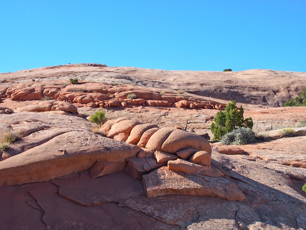
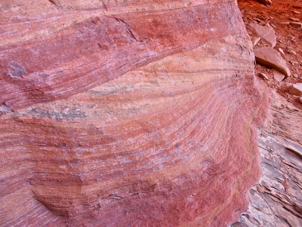
Unusual rocks
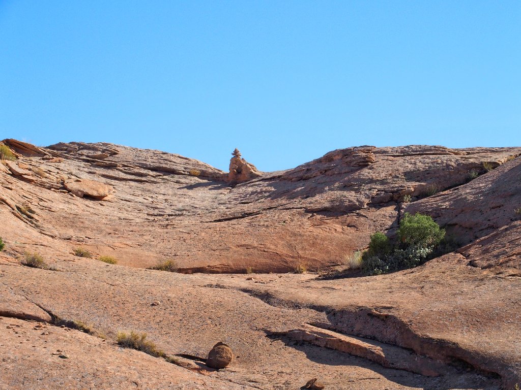
Ignoring that big cairn this time
At the butt-sliding slab, I try another approach that involves grasping tiny outcroppings of rock as I slowly inch my way upward. Doubtless it would have been easier to have scrambled up behind Access Arch and avoided this spot.
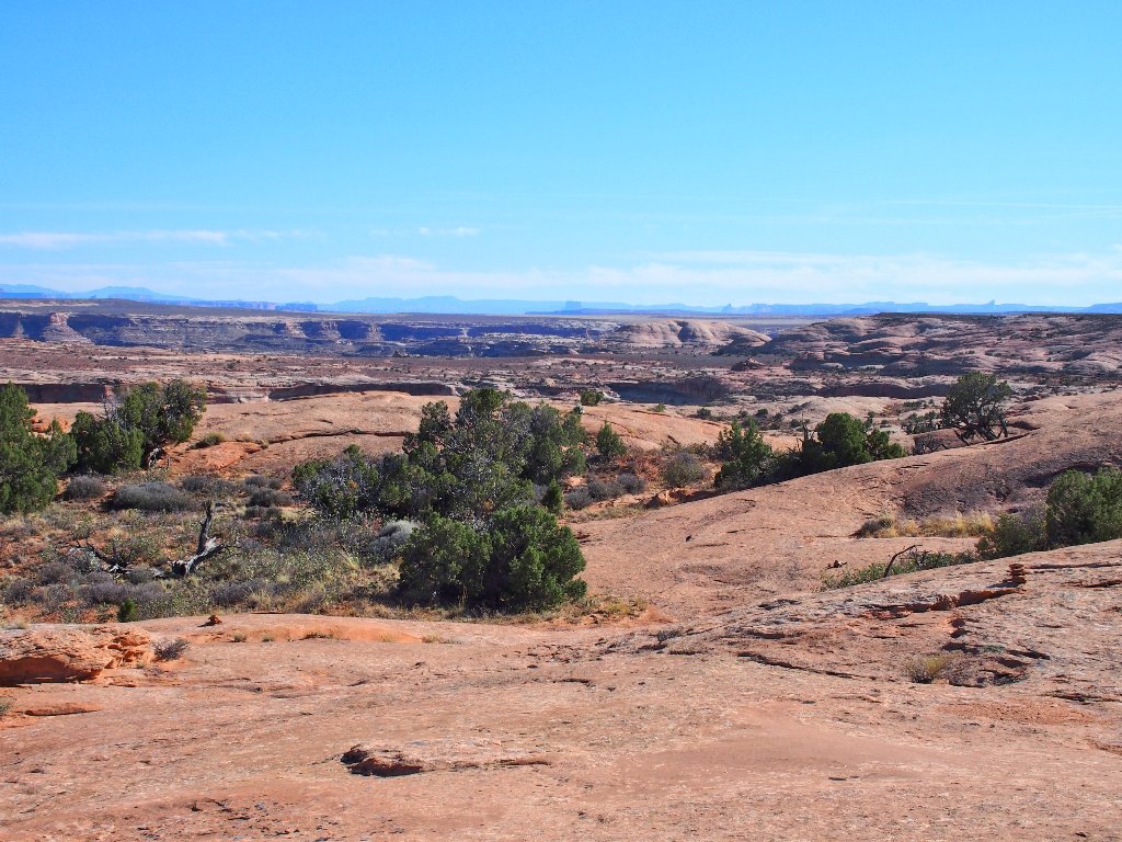
Canyonlands National Park is over there
The return route is largely different, of course, because now I am not hunting for
Crocodile Rock. I actually end up doing a figure-8 loop. Then it is
time for a lot more driving in the dirt.
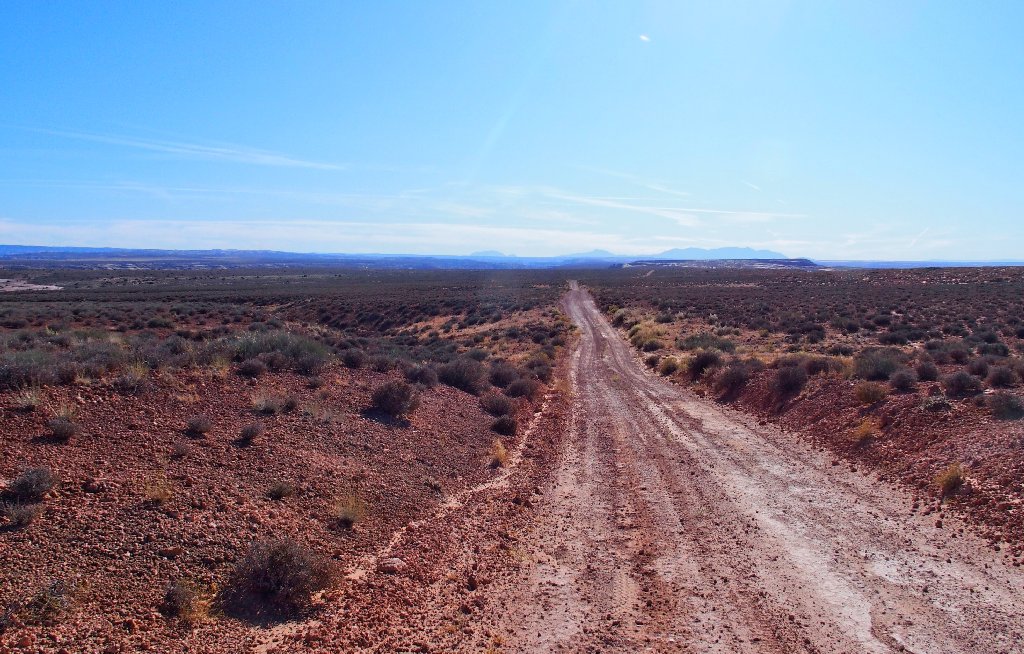
It is forty miles to a paved road
Rather than return by the Horseshoe Canyon access route, I take my chances by
continuing directly northward toward Green River. This road proves to be every bit
as good as the other one, and surely saves me time overall as well as 30-40 miles
of total driving. Eventually I connect with the Green River Airport Road,
completing my adventure.
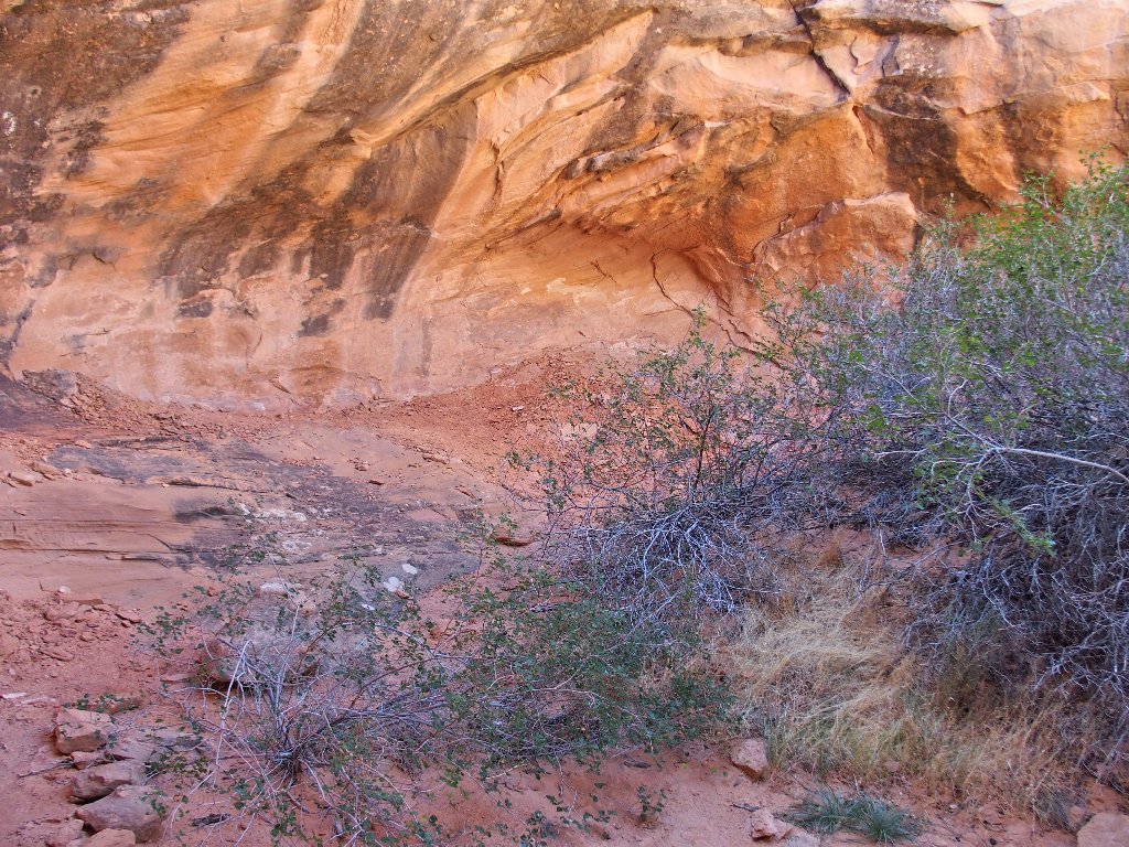
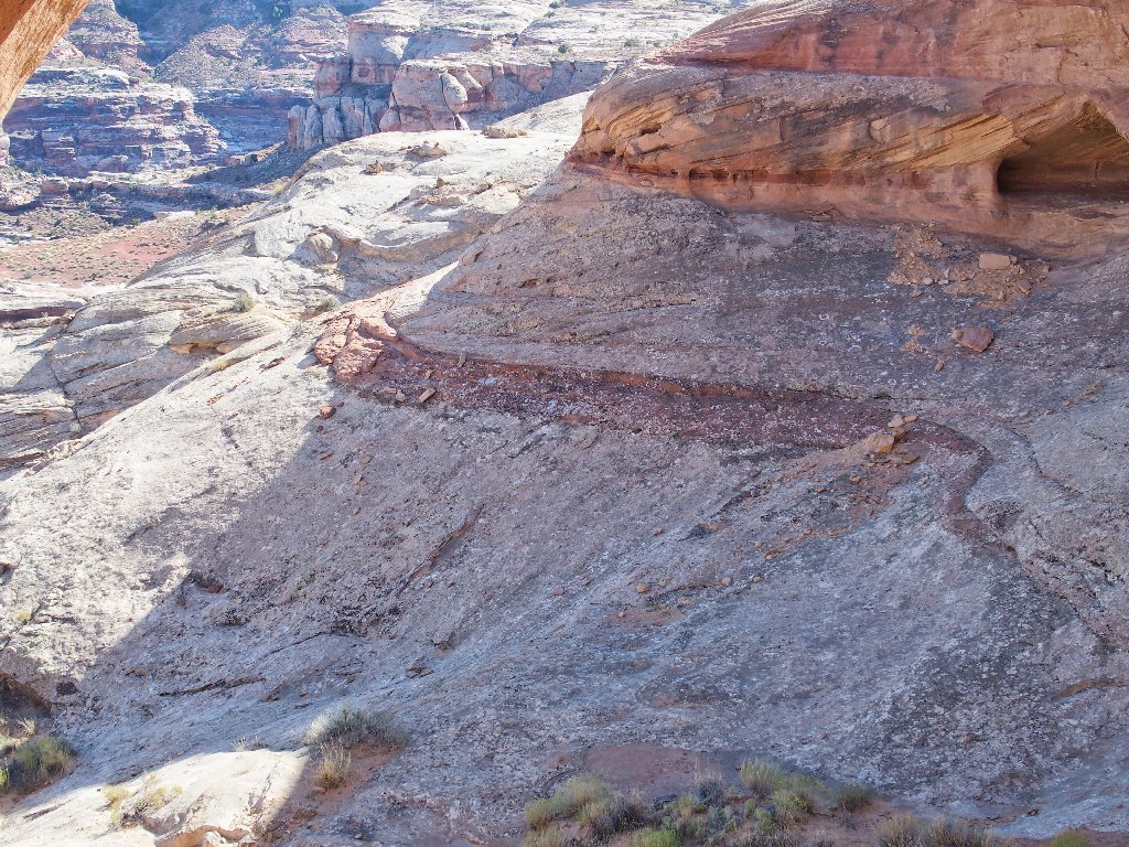
Unusual landscaping along the way
§: Well, this venture was a total success, because I found all the good
stuff. Also, the walking was almost entirely on slickrock; and it's no secret
that I love doing that.
| Scenery |  |
| Difficulty |  |
| Personality | |
| Adventure | |