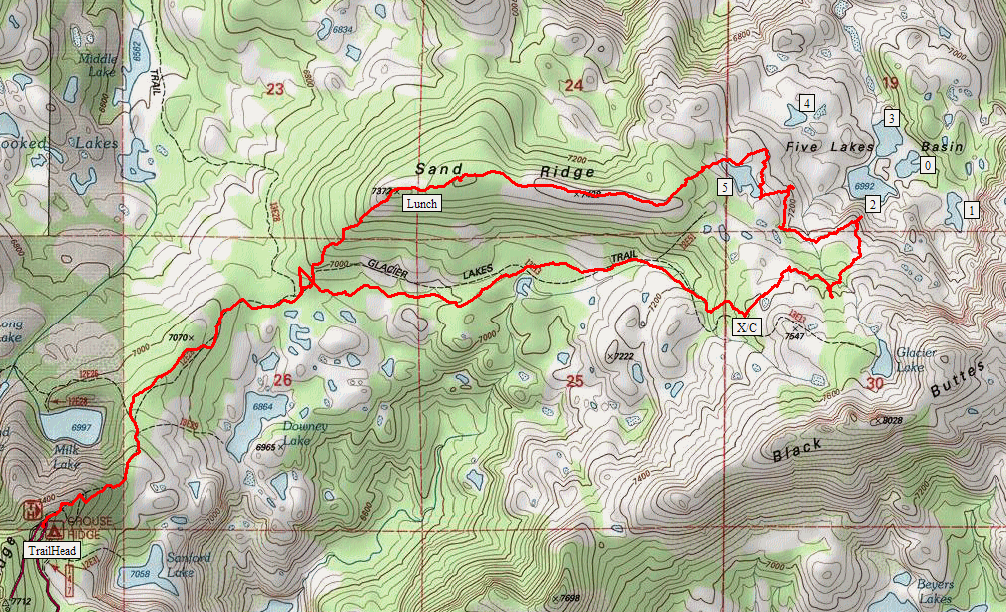
Tahoe National Forest
|
Five Lakes Basin Tahoe National Forest |
September 13, 2019
I last walked up here some eleven years ago on Hike #43.
Resolved at that time to return earlier in the season if at all, I find myself heading
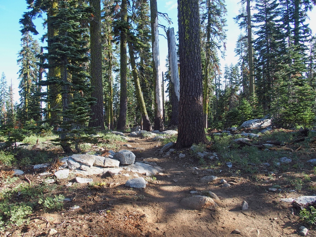
back down the trail a week later than before. The 6-mile access
road isn't as bad as it was back then, but it still is 1st-gear
going most of the way.
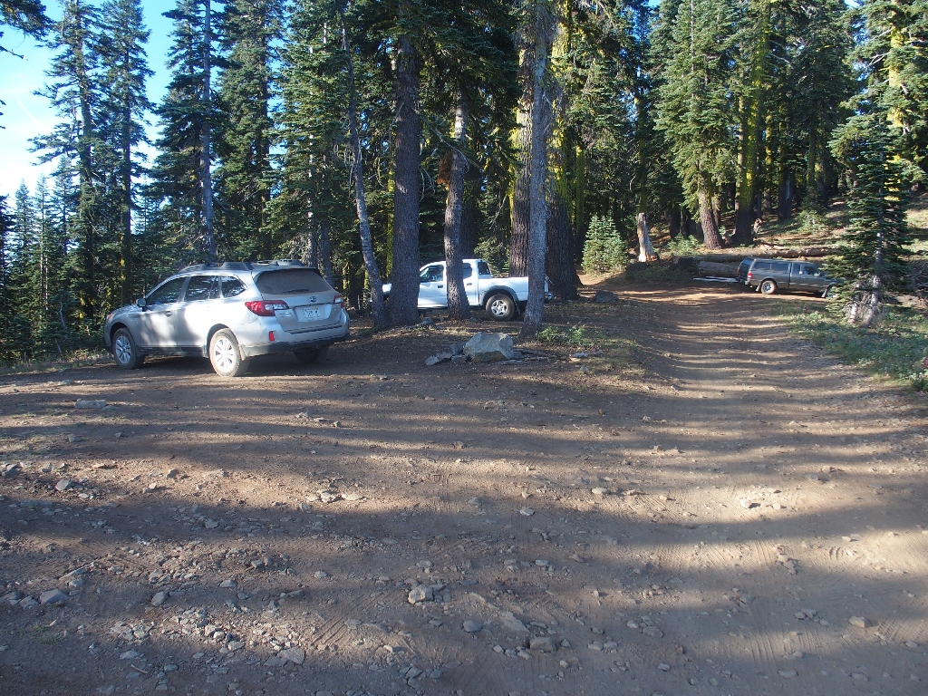
Getting started at 8 a.m.
After a phone call to my sweetie (AT&T works here, Verizon does not), I head
out. The plan is to venture all the way to a little-visited lakes
basin that was not explored on my prior trek to Glacier Lake.
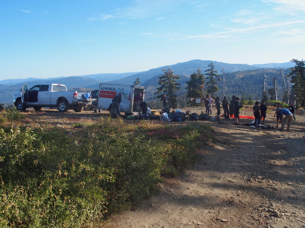
A large group prepares for a backpack
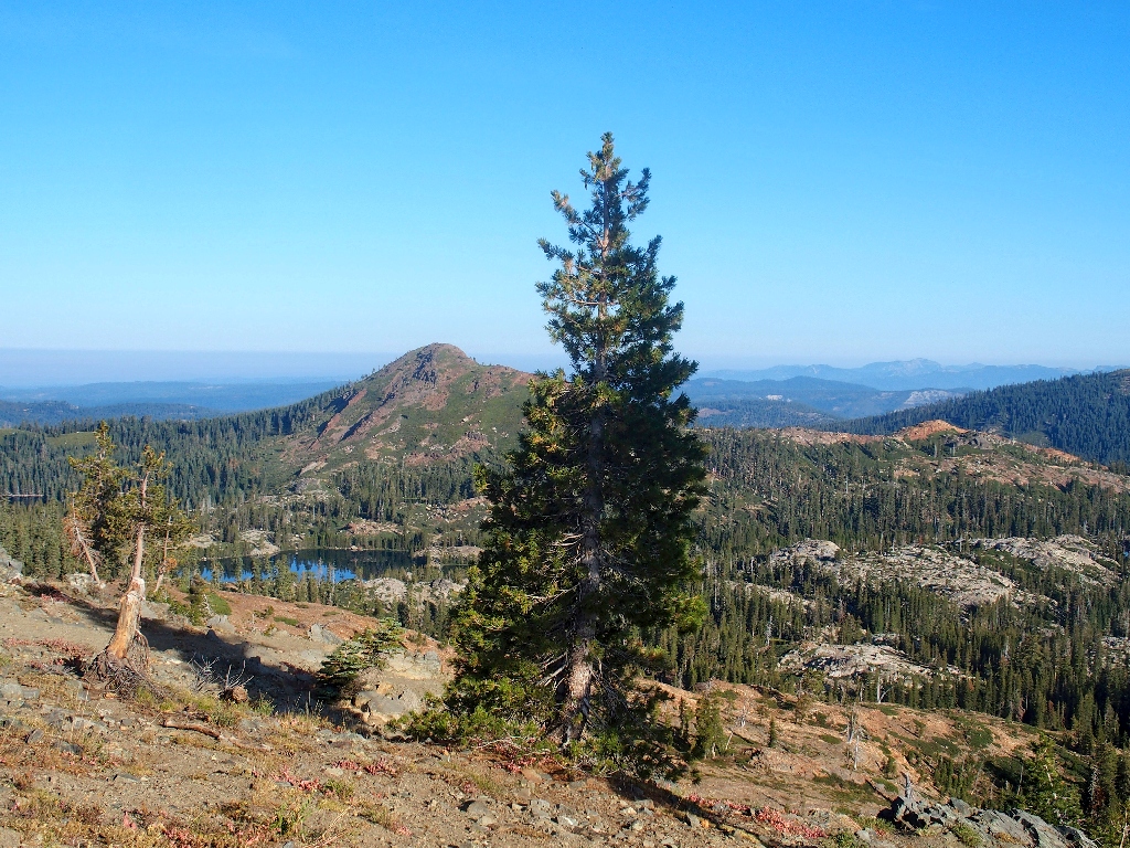
Milk Lake and Haystack Mountain
Milk Lake and Sierra Buttes
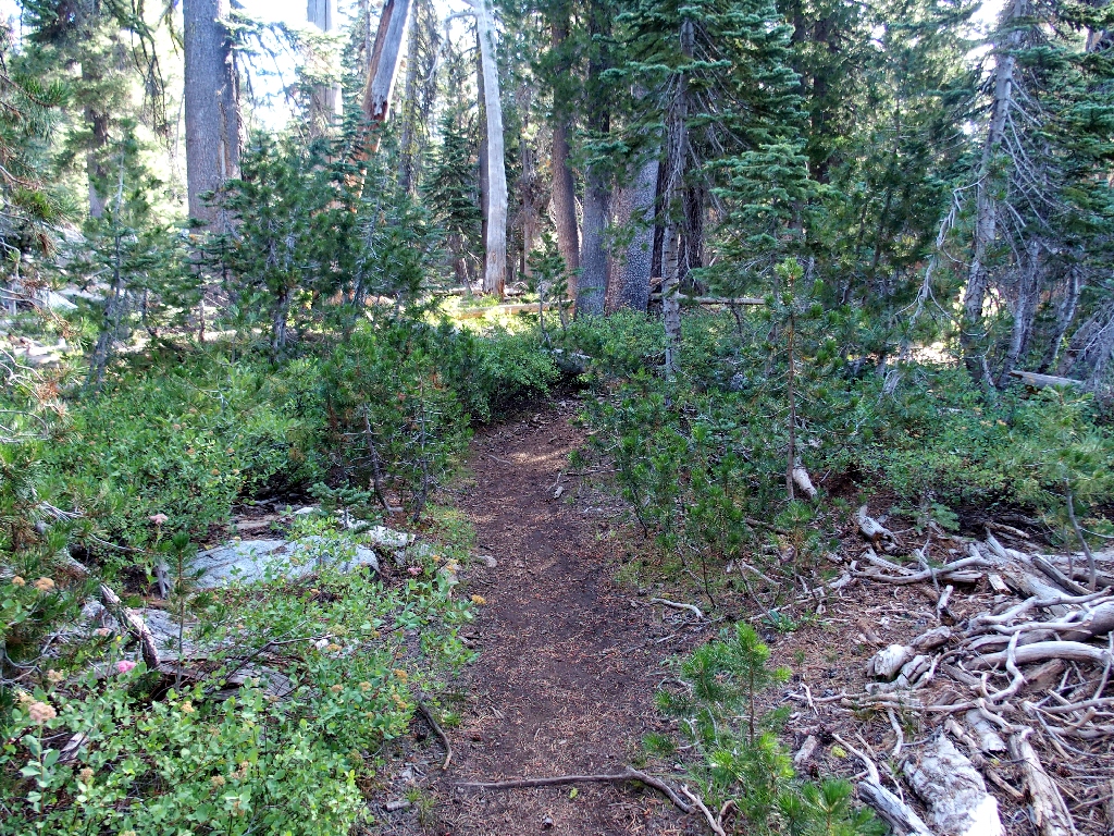
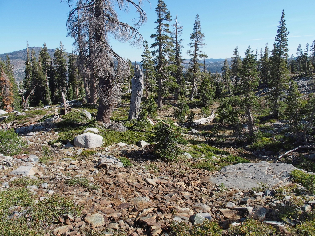
One unfortunate aspect of this route is an immediate 500-foot descent, which will have to be retraced at the end of the walk. That never is a desirable scenario.
Gone, but not forgotten
At least the Manzanita still are green
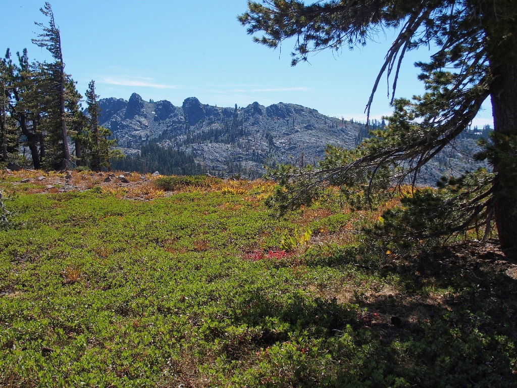
A nice feature of this walk is the planned loop return on a nearby ridge-top.
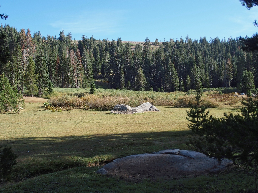
Sand Ridge is over there
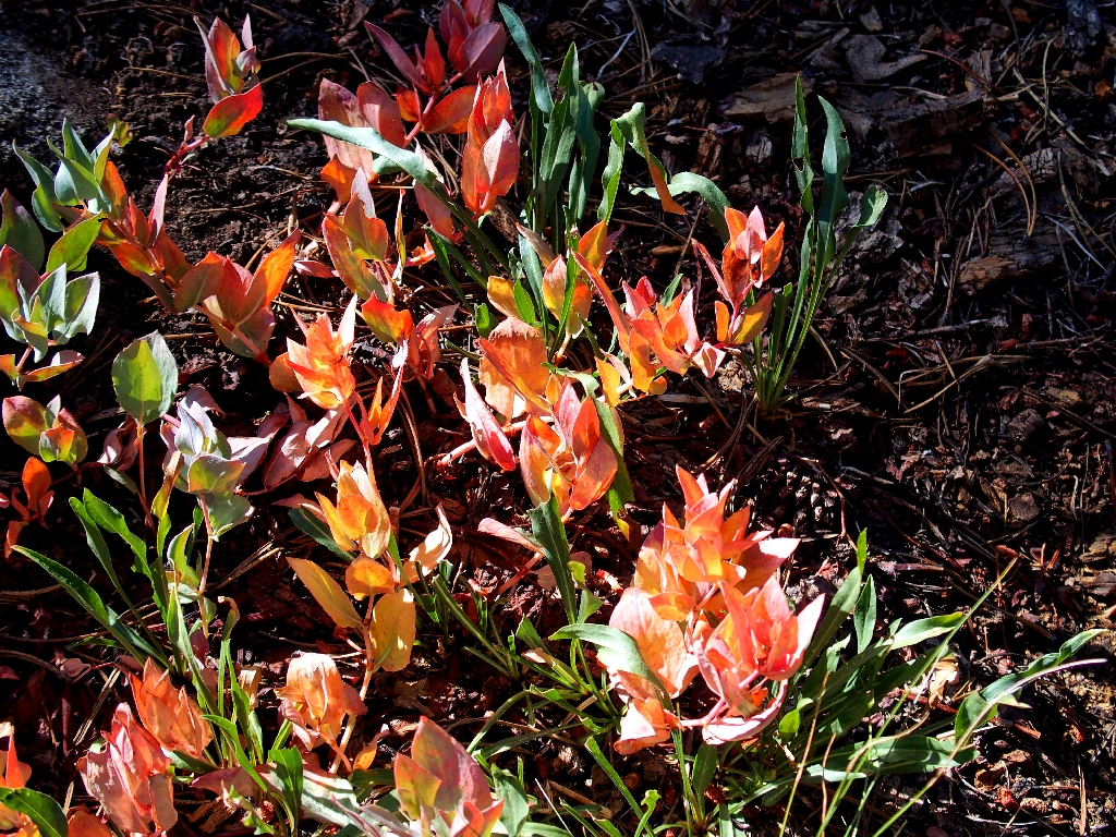
The Hellebore have had it
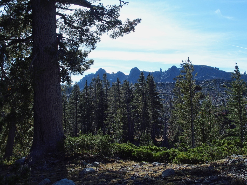
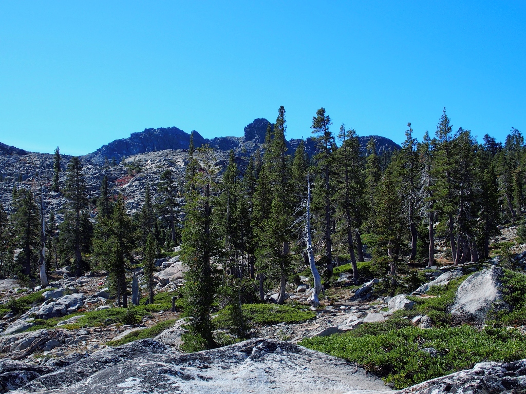
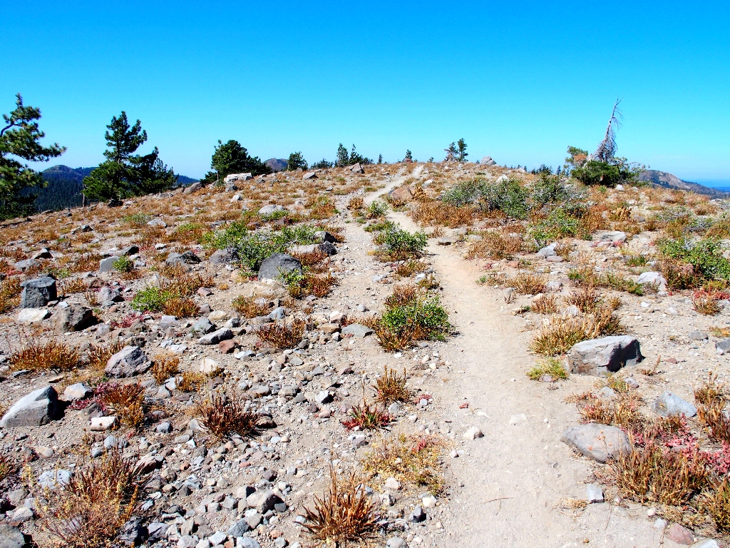
First view of the Black Buttes
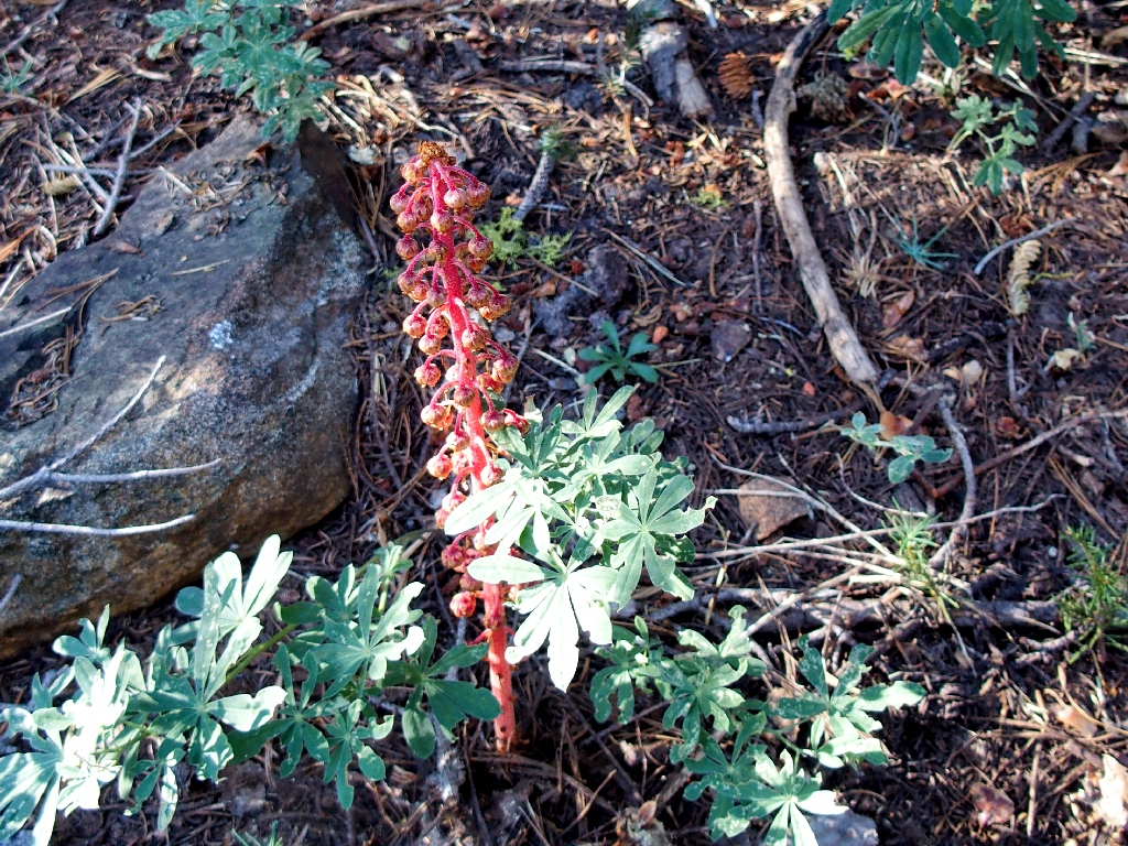
Pine Drops
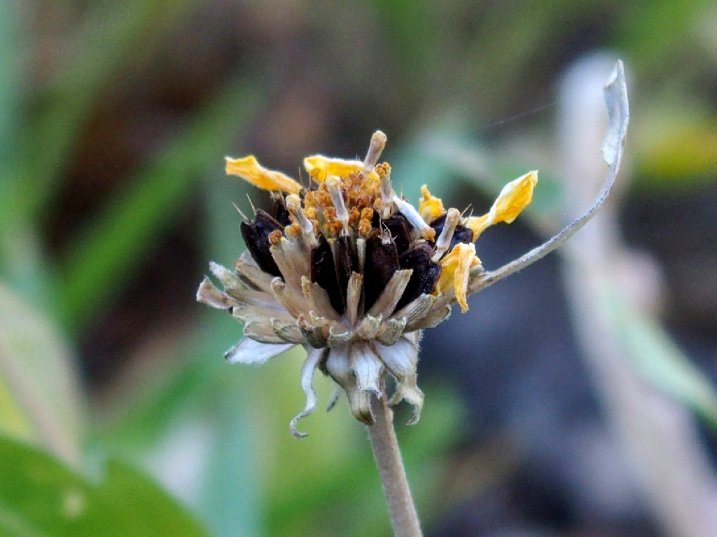
False Sunflower
After nearly three miles, the trail turns up toward the Black Buttes. Checking my compass, it shows that I am indeed heading toward one of the Five Lakes. Something definitely is amiss, however, because lakes don't tend to accumulate near the tops of cliffs.
On a hunch, I re-calibrate my compass, and surely enough — now it is pointing in the opposite direction! Not bothering to try to retrace any of the trail, I opt to plunge into the forest in the direction of the compass arrow.
The cross-country going is pretty easy
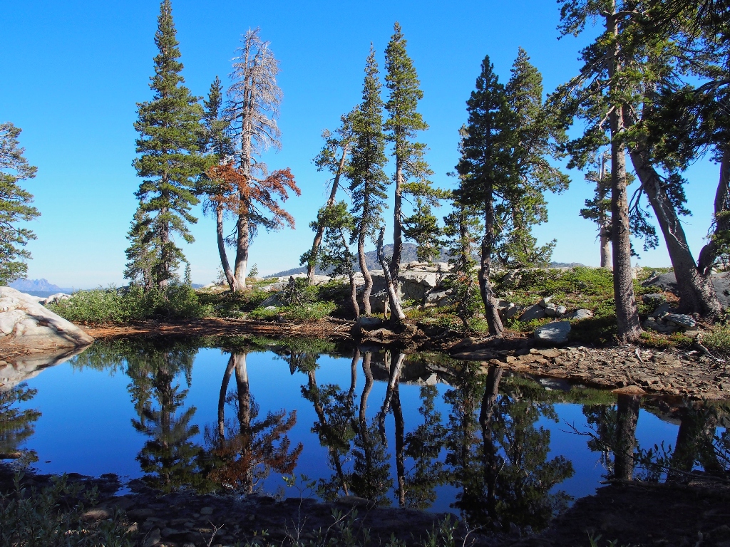
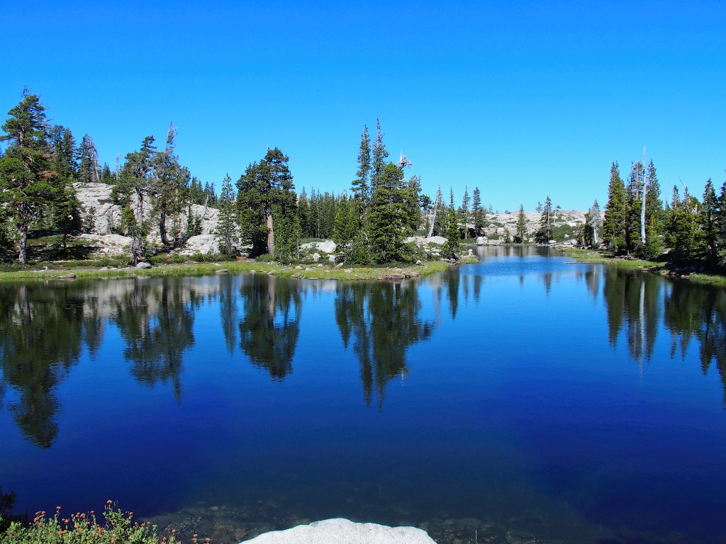
Great reflections!
A little use trail appears
That path doesn't seem to be heading where I want to go, however; so I cross it and keep going northward.
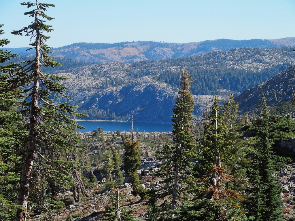
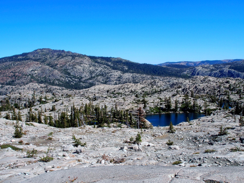
French Lake is 700 feet below
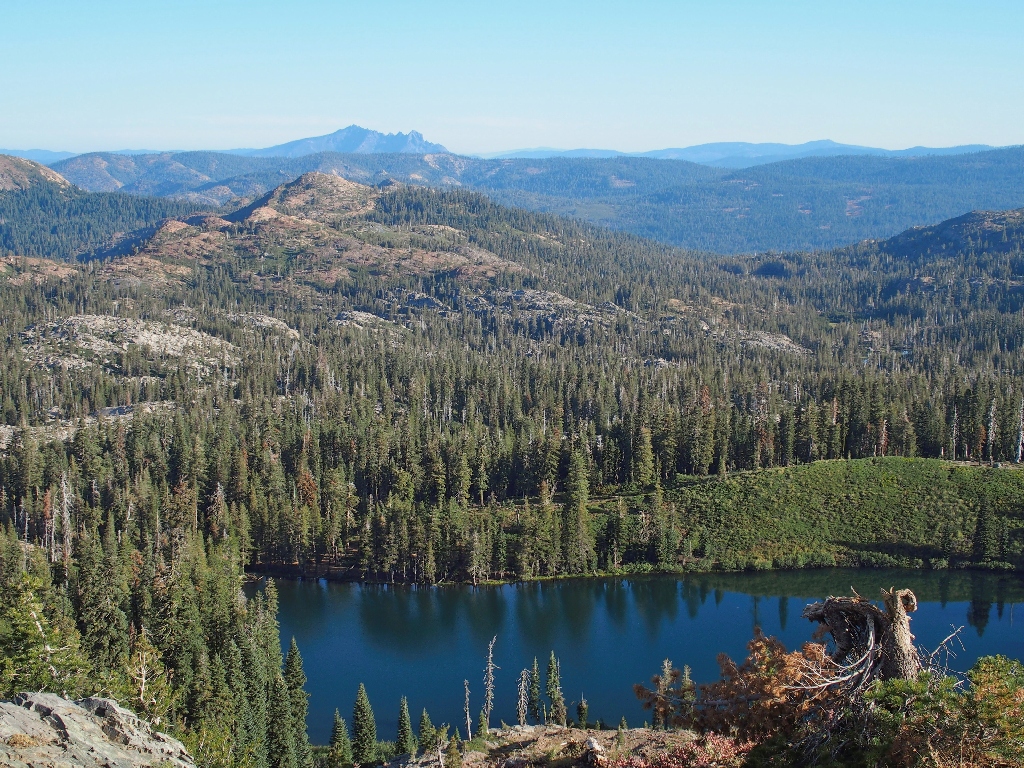
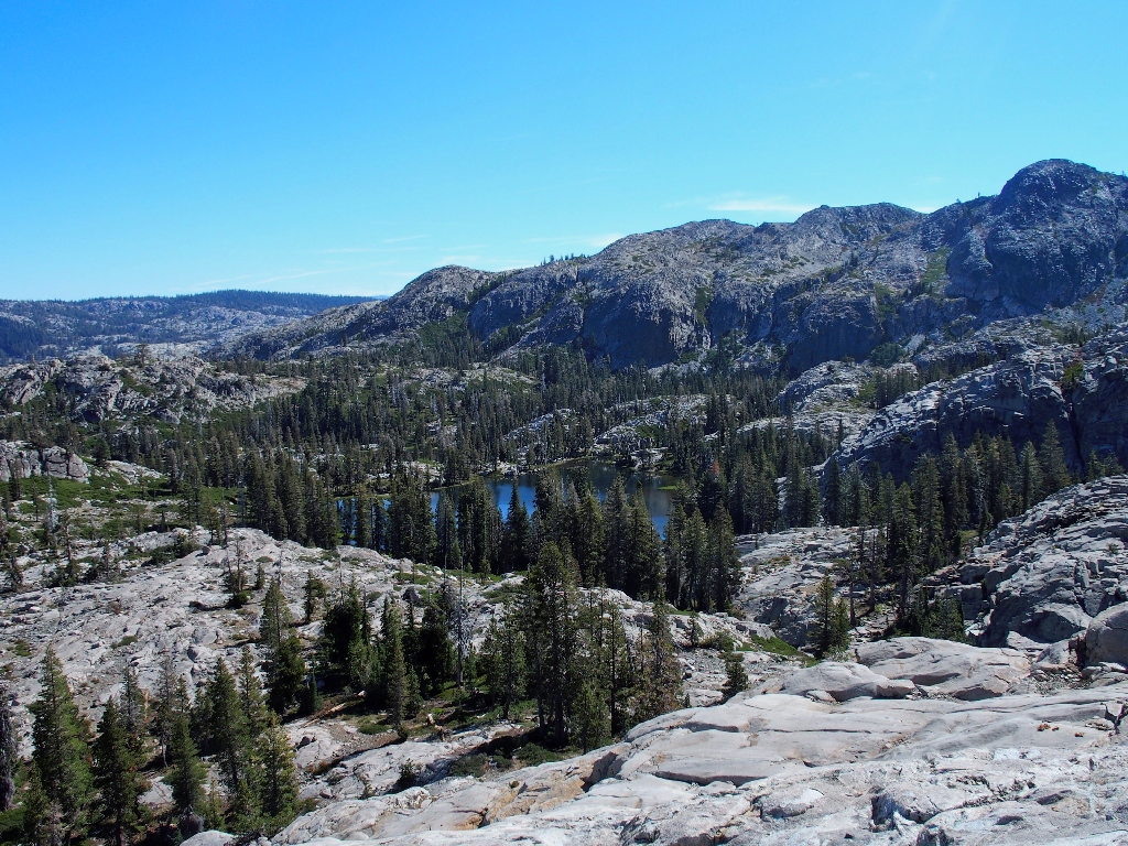
Presently my efforts are rewarded. From the top of a granite mound is a view of the heart of Five Lakes Basin (Lakes #2,#3 and #0 on the map).

This is why I came here
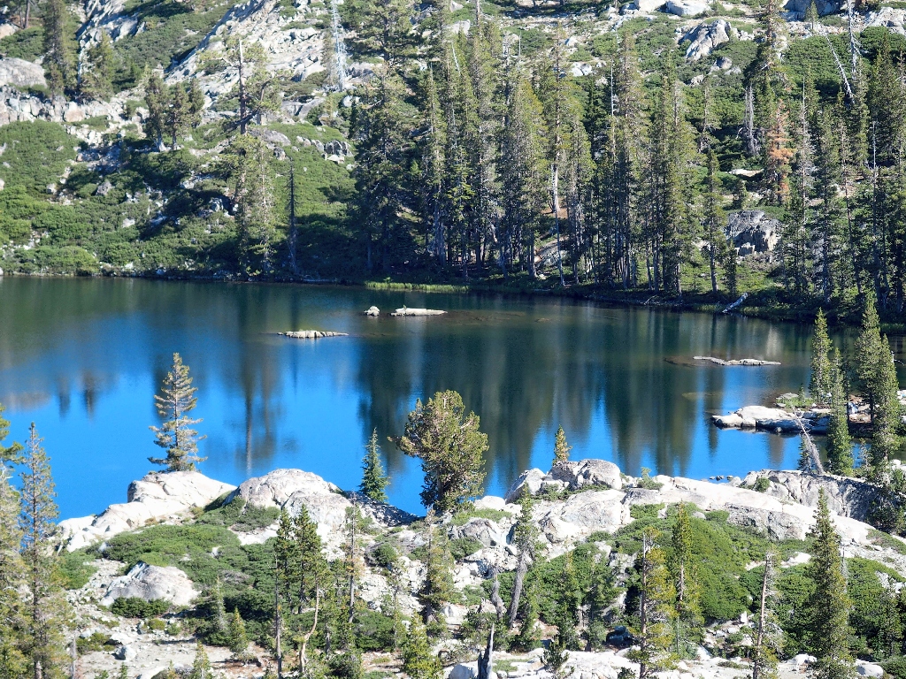
Lake #2
Lake #0
I call that one Lake-0 because there are five other lakes on the map; I presume that that one is considered an extension of one of the other lakes, and is disconnected at lower water levels.
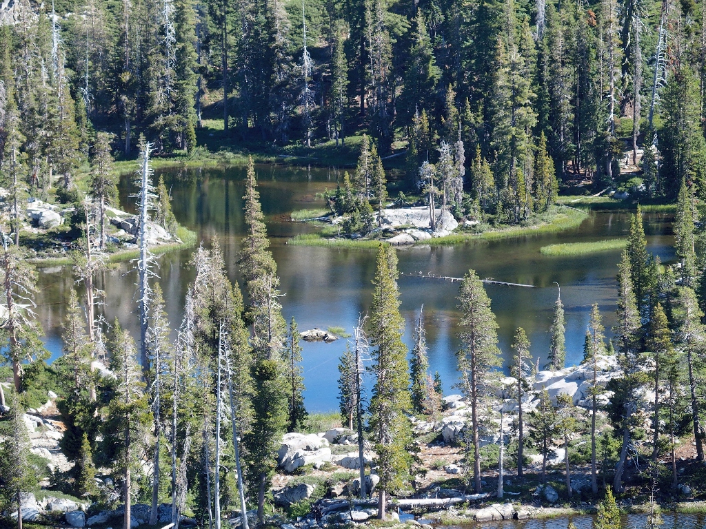
Lake #4 is barely visible down to the left
One of the other lakes does show as being near the buttes themselves. For all I know, it might be the prettiest one of the bunch; but I am not inclined to retrace steps over there now. Too bad.
Lake #1 is over there somewhere
Bypassing the buttes completely
The next objective is nearly level with my present location.
Lake #5 is over there somewhere
Opting to avoid the canyon directly in front of me, I circle around to the left.
Someone else has traveled this way
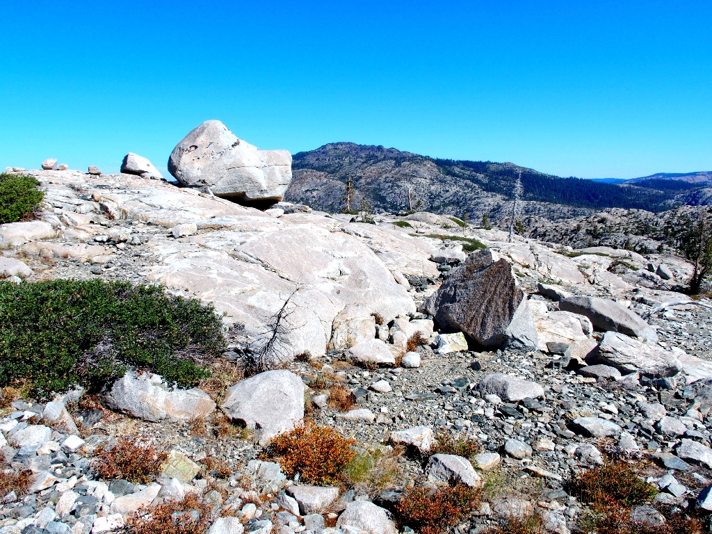
Perhaps there's a new view up here...
Nope
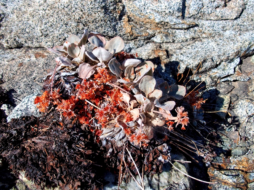
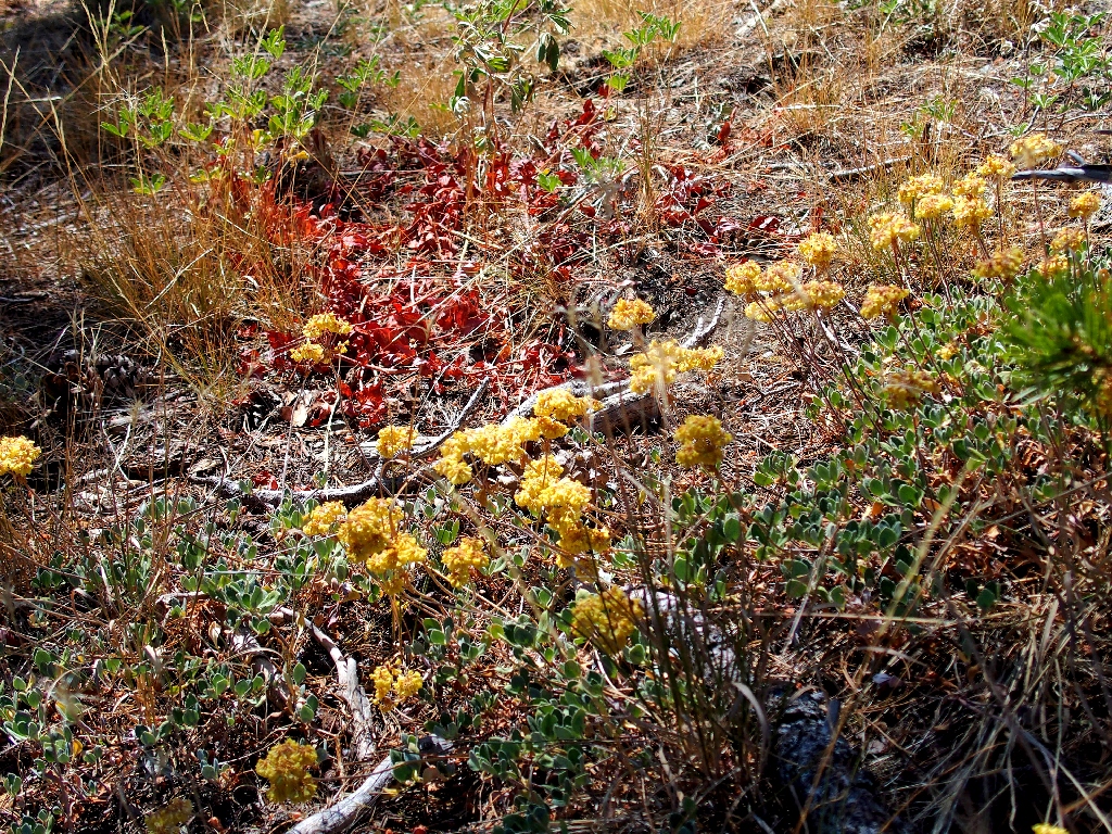
Cushion Buckwheat

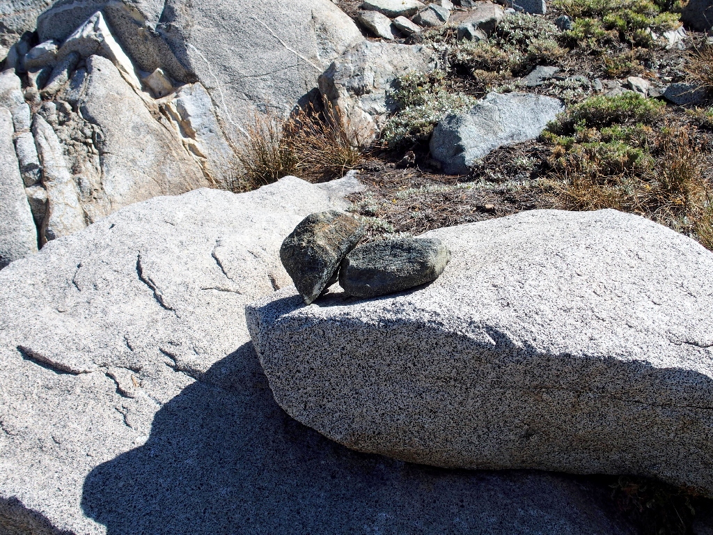
The boulder is blocking my view
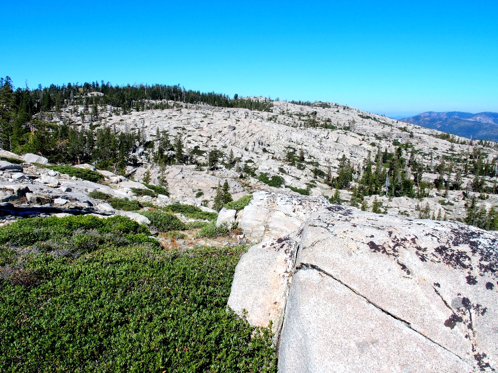
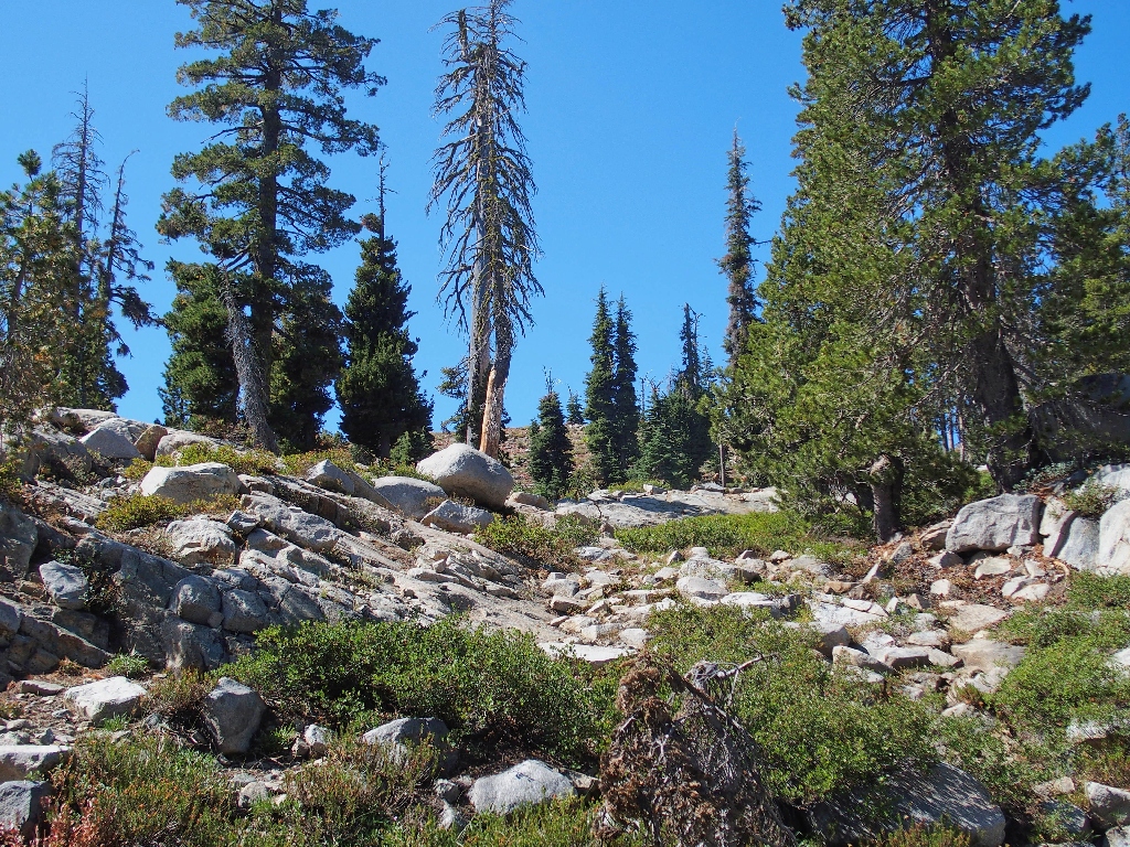
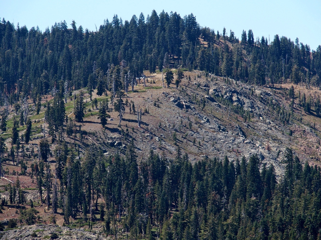
This is proving to be some of the easiest cross-country travel ever. Negotiating the expanse of granite is relatively effortless, and there are no big logs to clamber over in the forested areas.
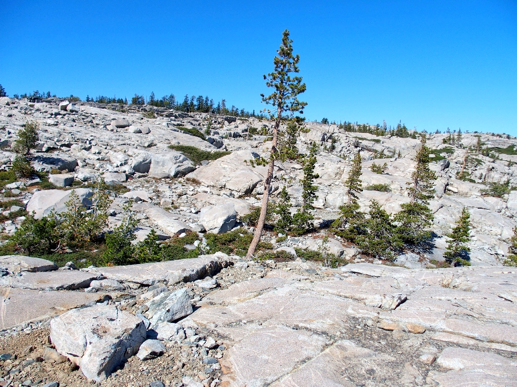
More slabs to traverse
The GPS says that I am getting close. Keeping even farther toward the left in anticipation of the layout ahead, I soon find myself right at the southern tip of the next attraction.
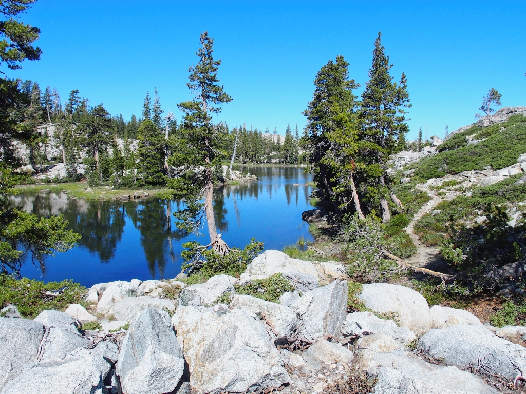
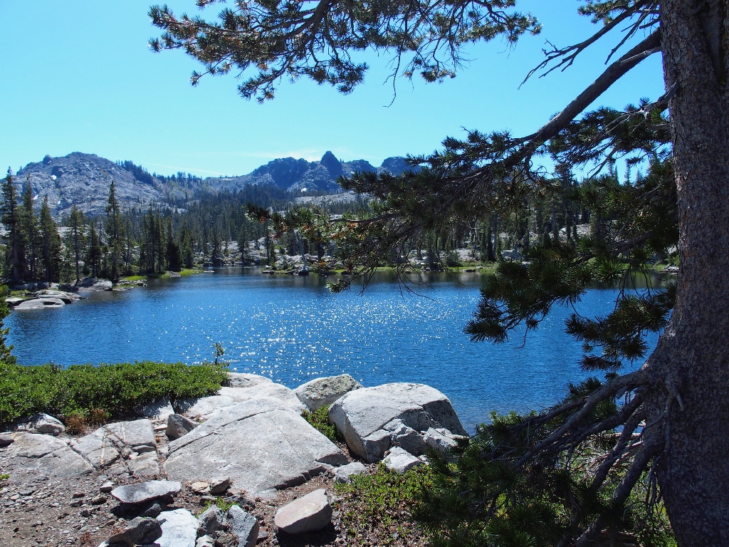
Lake #5
Very nice
Although there appears to be a trail straight over to Sand Ridge from here, I talk myself into heading northward beside the lake. Scrambling up the adjacent rocks for a couple hundred yards begets the desired viewpoint.
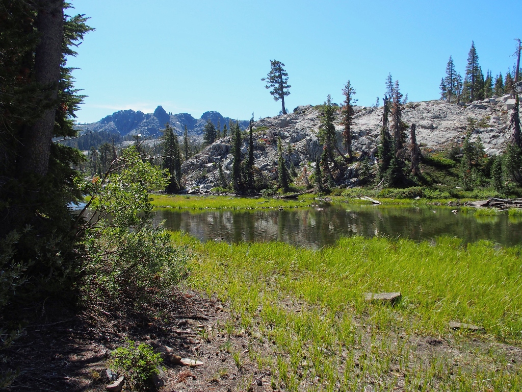
Lake #4 again
That's close enough. Now it's time to think about heading back. The map suggests that continuing around this lake would work just fine.
The downstream side of Lake #5
Knotweed is providing all the color today
Near the dried-up lake outlet, I must negotiate a not-unfriendly willow thicket; then there is nowhere to go but up.
I can see Sand Ridge up there
At one point I must scramble up a wet 5-foot rockfall, but soon I actually am atop Sand Ridge. Now it is just a matter of time until I rejoin the main trail.
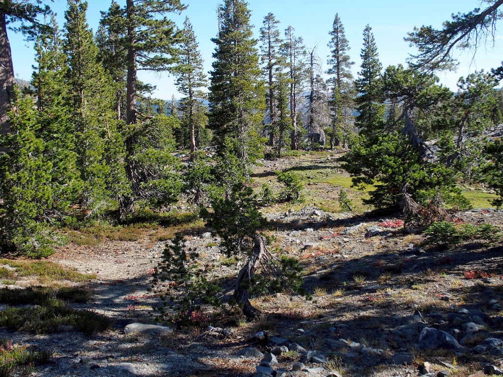
The parking lot is over in those high trees
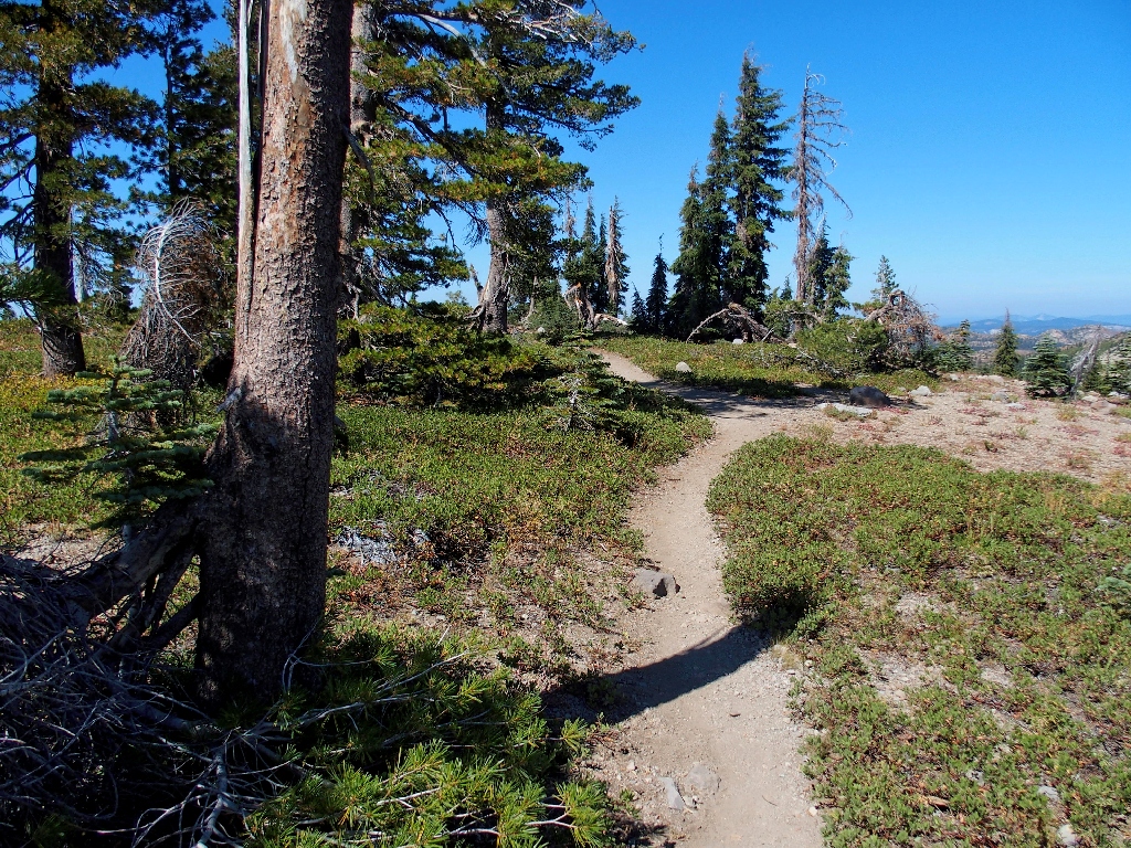
This officially unmaintained section doesn't seem to need help
The Glacier Lake Trail is well below
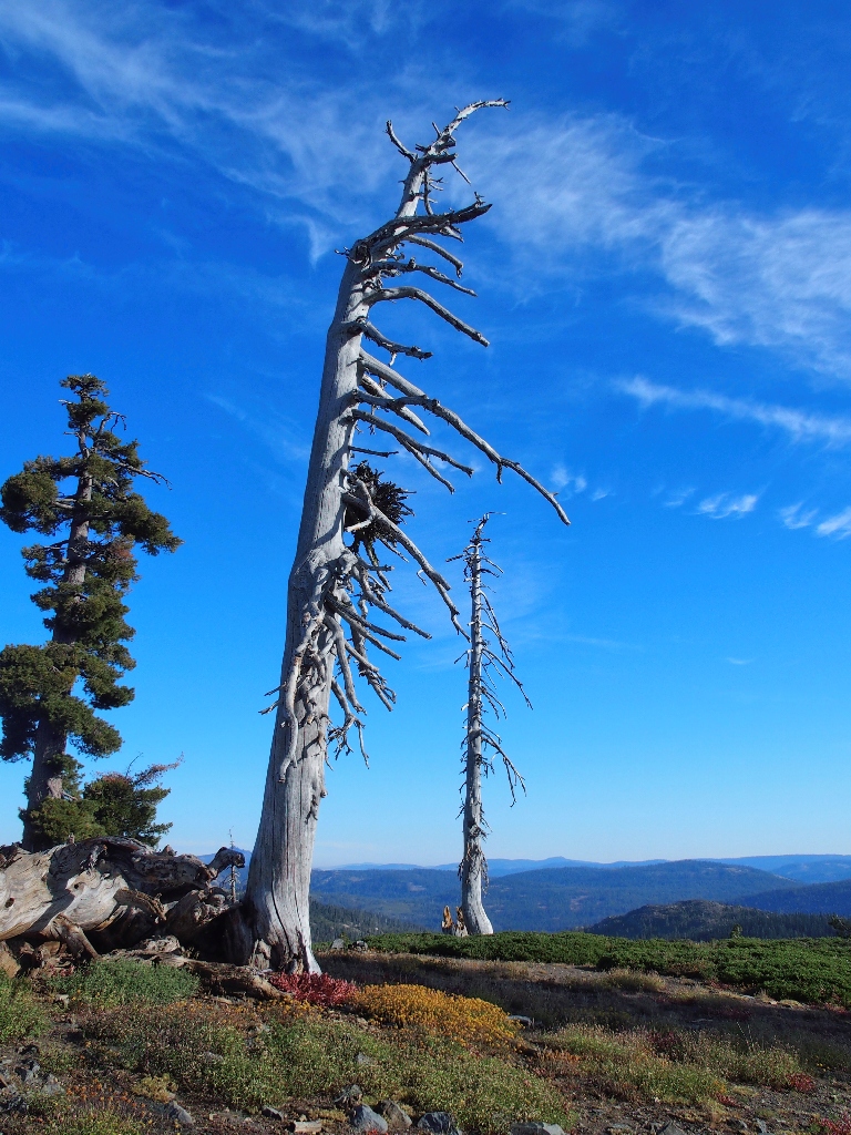
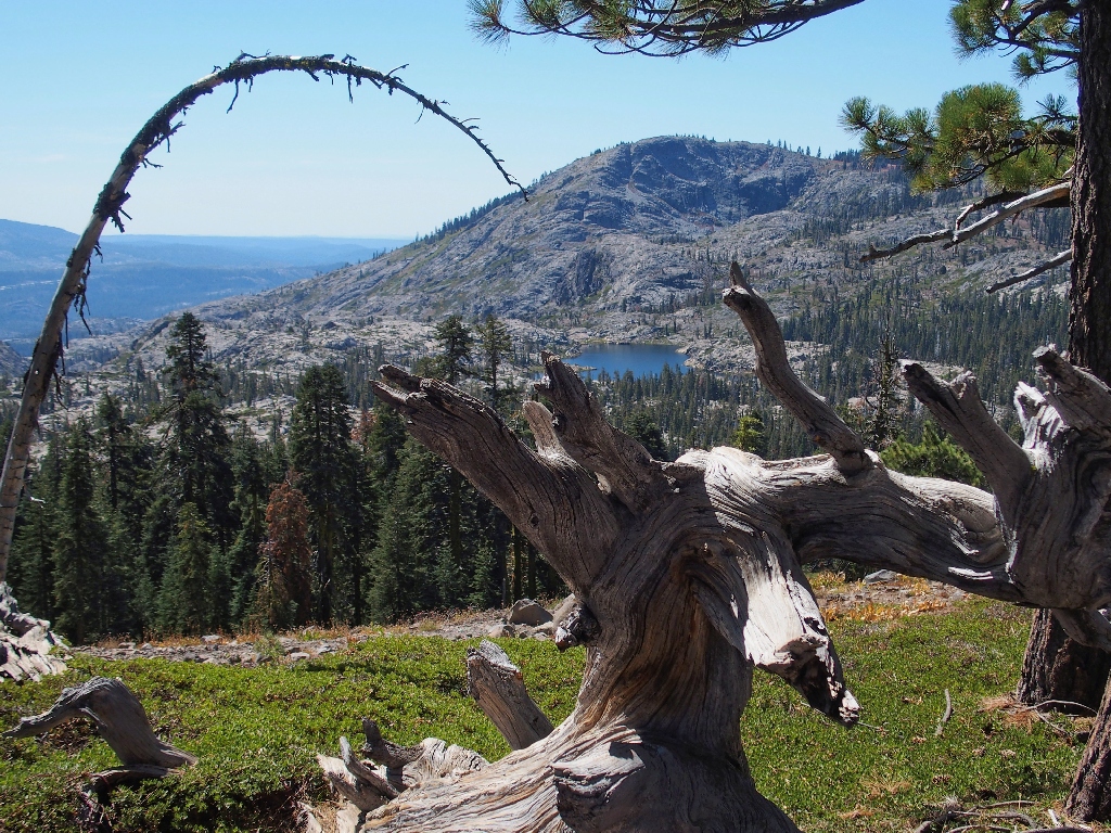
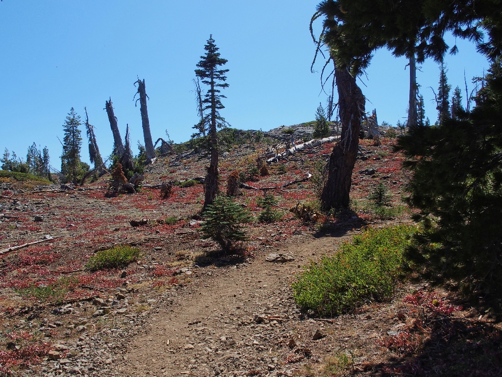
Getting off of Sand Ridge proves the most difficult challenge of the day, for the trail is steep and sandy. Partway down, I encounter an amazing scene remembered from my previous outing.
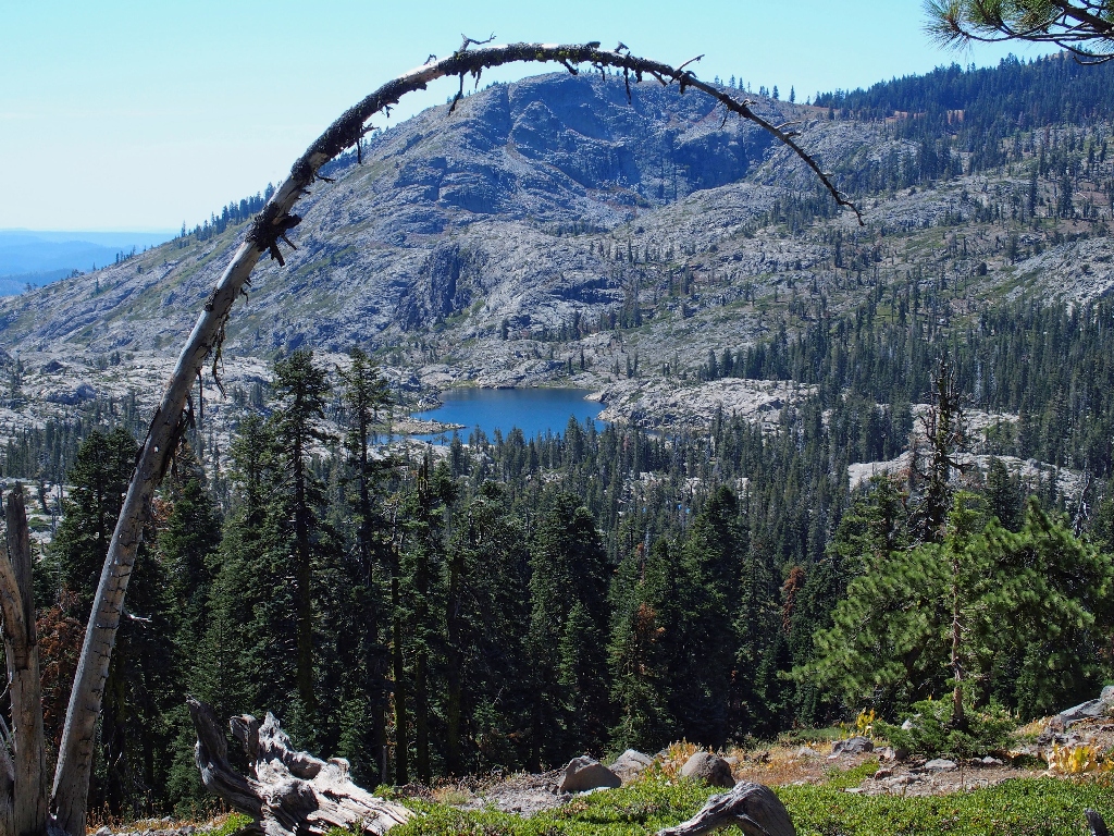
Downey Lake
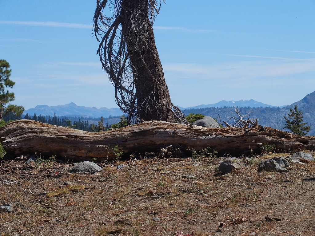
I find it pretty remarkable that that old dead branch still is hanging in there after all these years. Compare it with the photo below, shot eleven years ago:
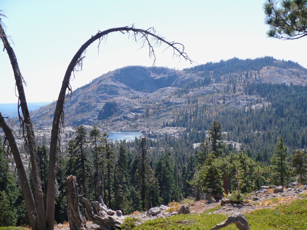
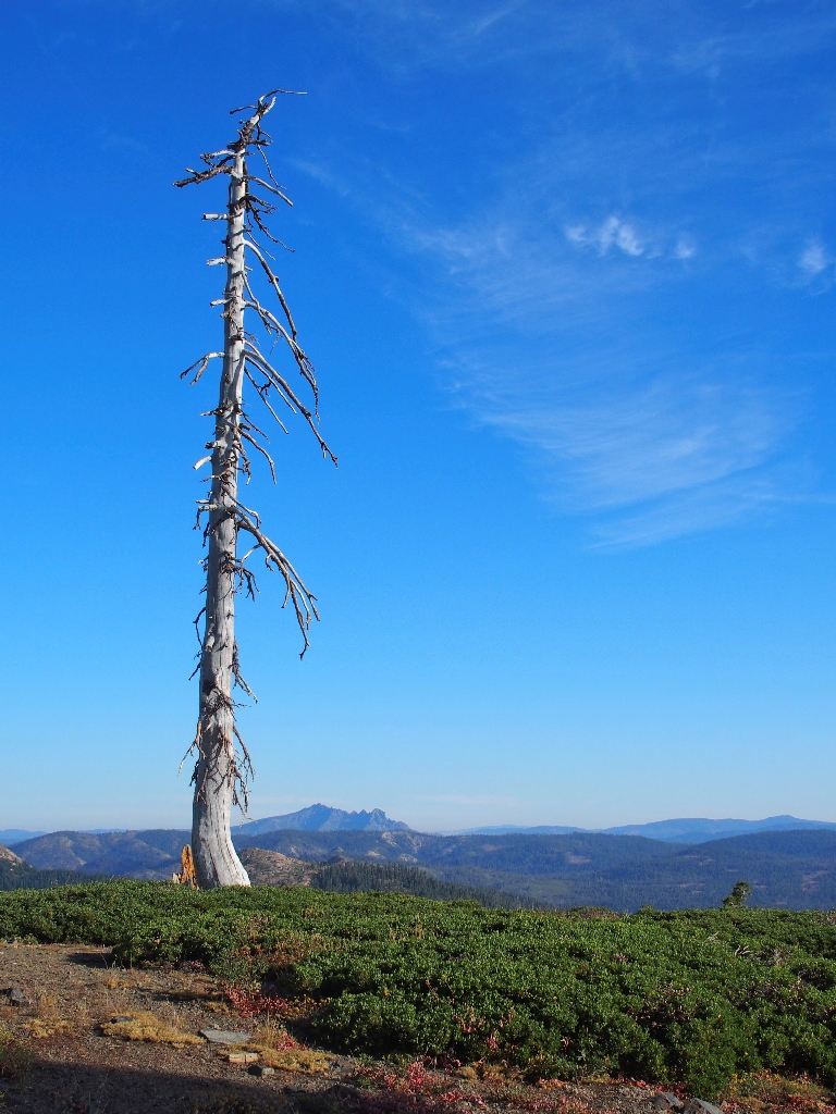
Circa: 2008
Alternate earlier view
Telephoto view of the trailhead, at upper-center
Down in the flat I find the trail junction, completing my lollipop loop. I also remember to retrieve my stashed shirt.
More colorful Knotweed, indicating that it definitely is late in the season
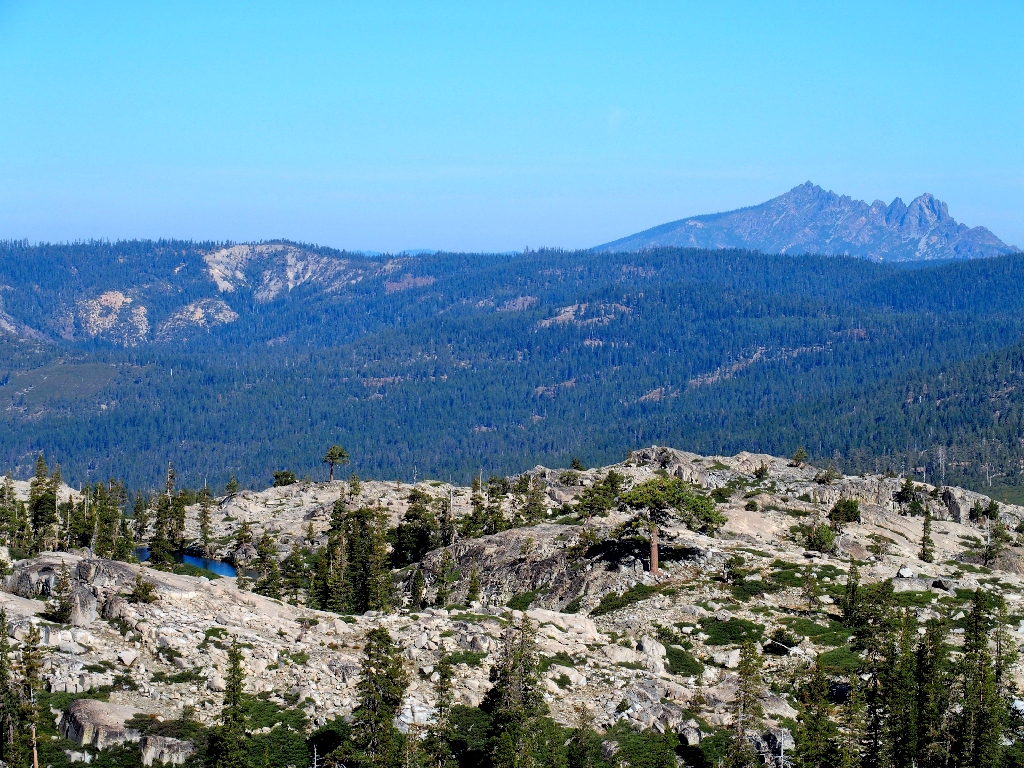
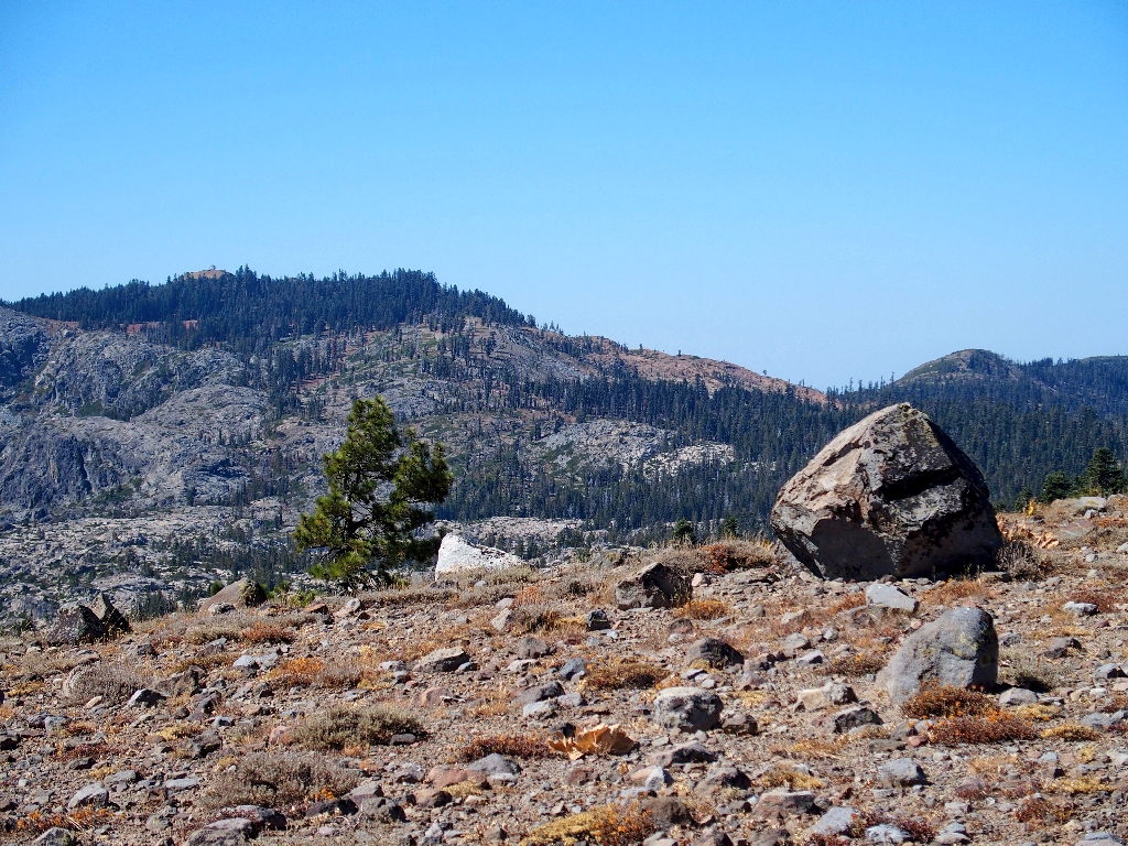
In view 18-20 miles to the south are some erstwhile hiking venues:
Anderson Peak & Tinker Knob on the left; Granite Chief Wilderness to the
right
Several rest stops are in order during this final ascent, but it doesn't take too long. I actually am back at the car in just over five hours total.
A final splash of color in the Sulfur Buckwheat
§: Well, I must admit that I enjoyed this outing somewhat more than had
been expected. Yes, most everything was dried up as before; yet the
cross-country exploration was delightful, thanks mostly to the ever-special
granite slabs. Collectively known as the 'Sierra Highway', there is nothing like
them elsewhere to my knowledge.
| Scenery |  |
| Difficulty |  |
| Personality | |
| Adventure | |
| Flowers |  |