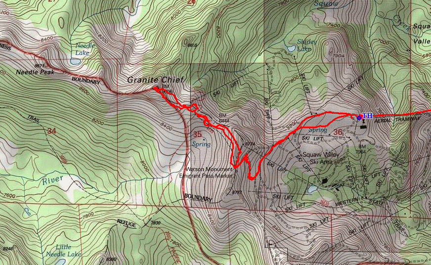
Granite Chief Wilderness
|
Granite Chief Granite Chief Wilderness |
August 15, 2019
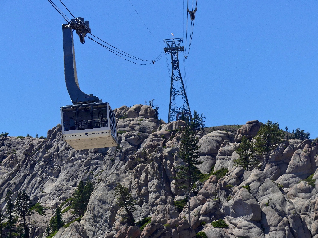
The last time I checked, the Squaw Valley Tram cost 24-dollars; now they're asking 39-dollars. Rather than leave in disgust, however, I remind myself that if I don't do it now, I probably never will, and I probably would gnash my teeth interminably for never having walked up here.
Arriving more than an hour too early, I wait around, then purchase the first ticket of the day. It's good for an unlimited number of rides, but so what?
The tram takes off
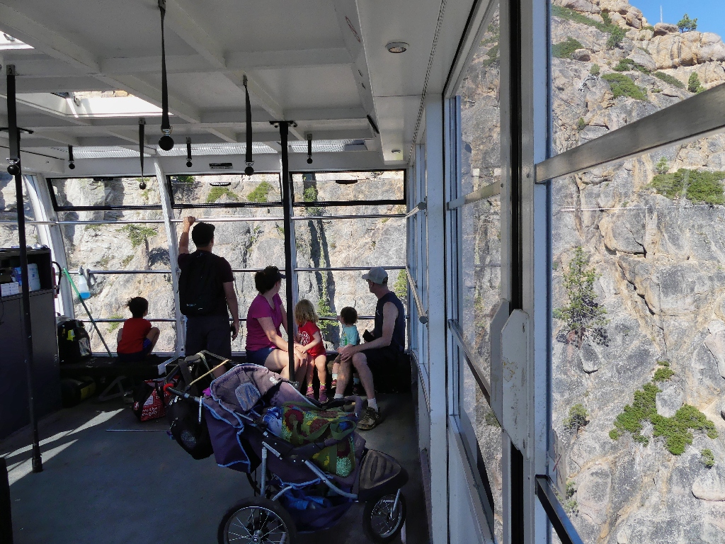
Ten others are on board
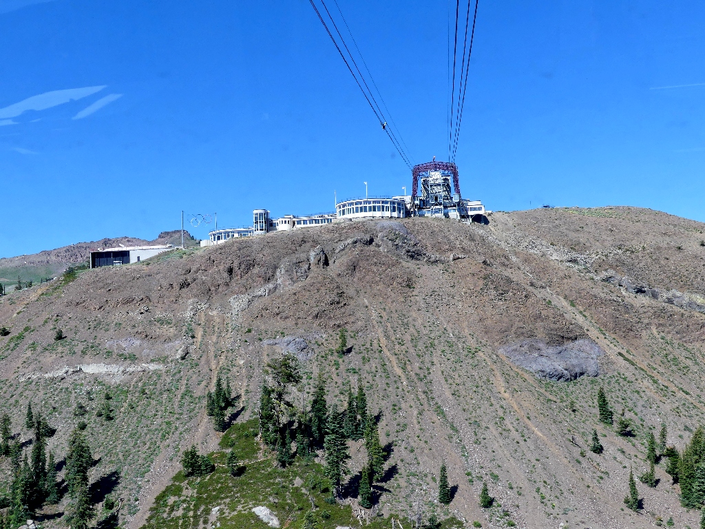
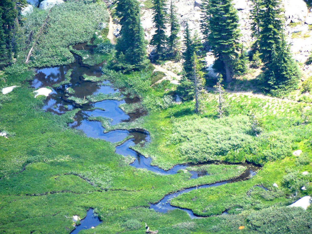
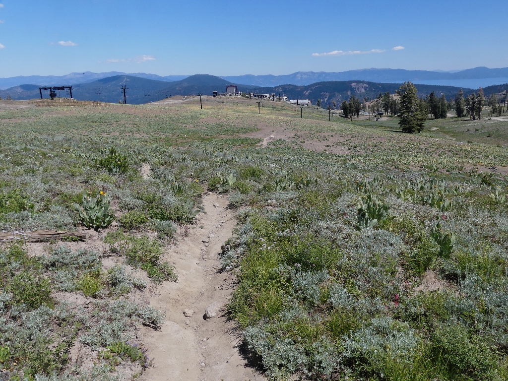
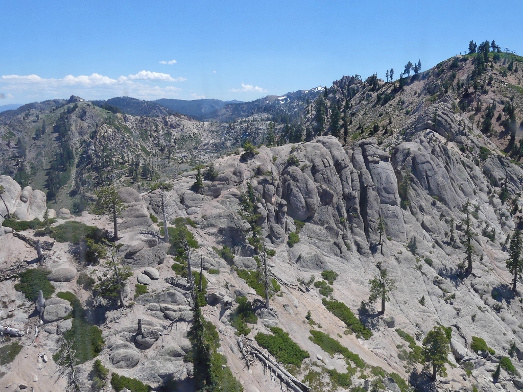
Scenes along the way
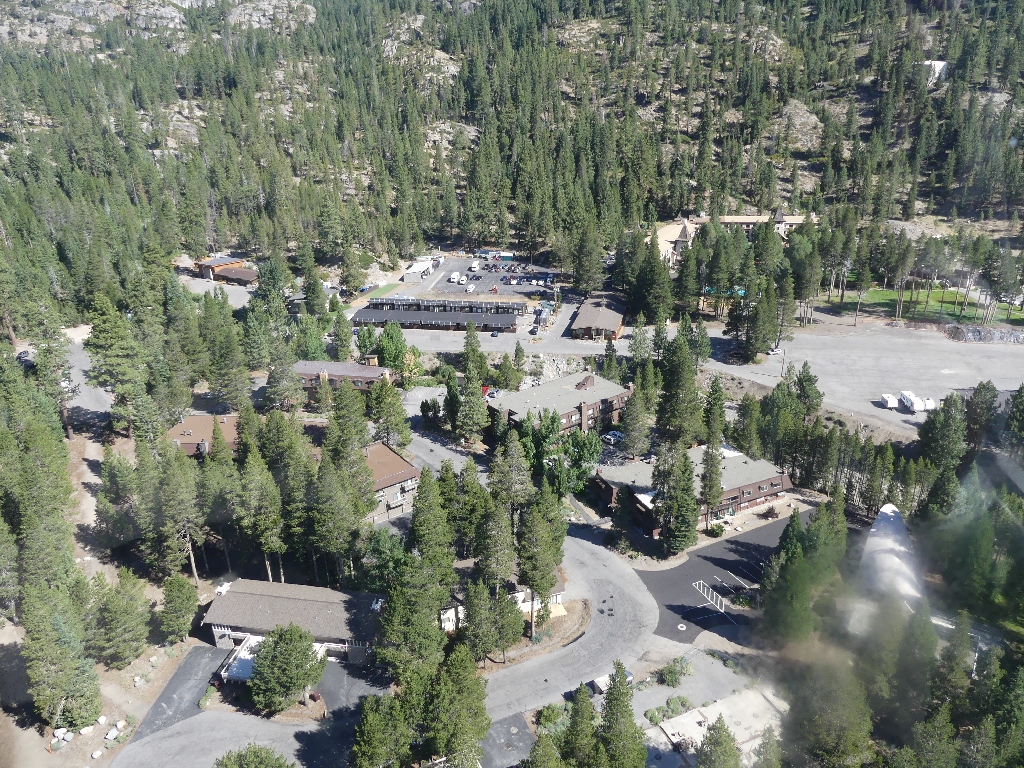
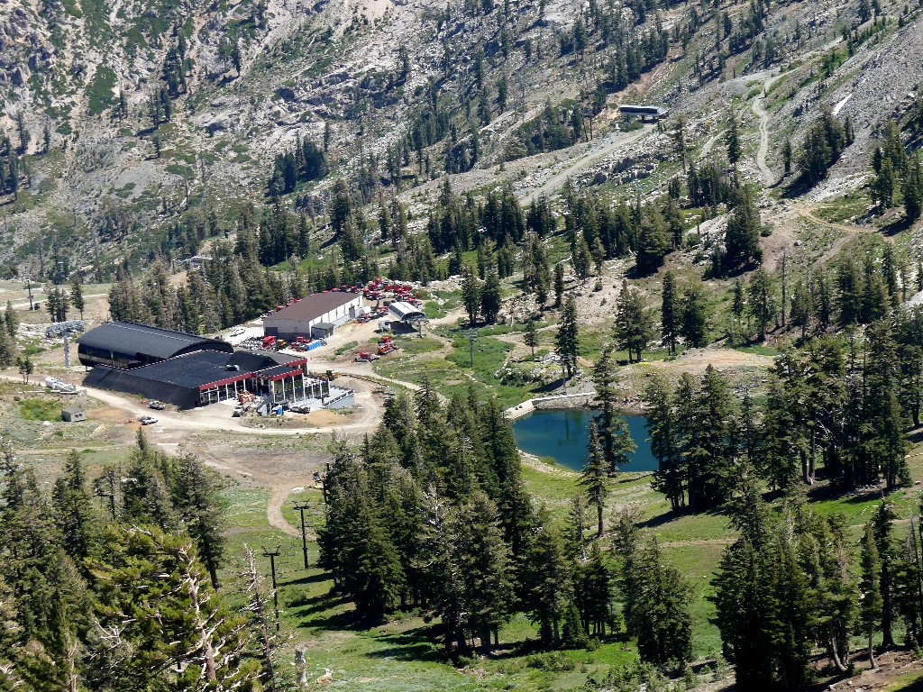
The High Camp is a pretty amazing place, featuring hot and cold swimming pools, frisbee golf, other games, dining options, and a gift shop. On certain summer days, there is live music at poolside.
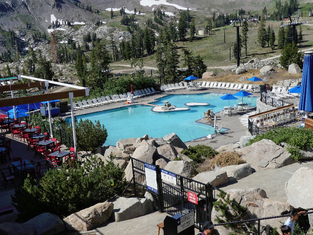
The High Camp pool is waiting
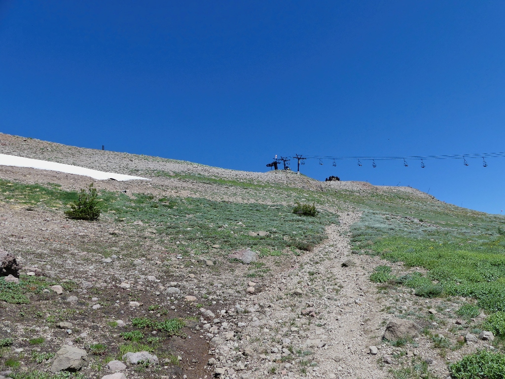
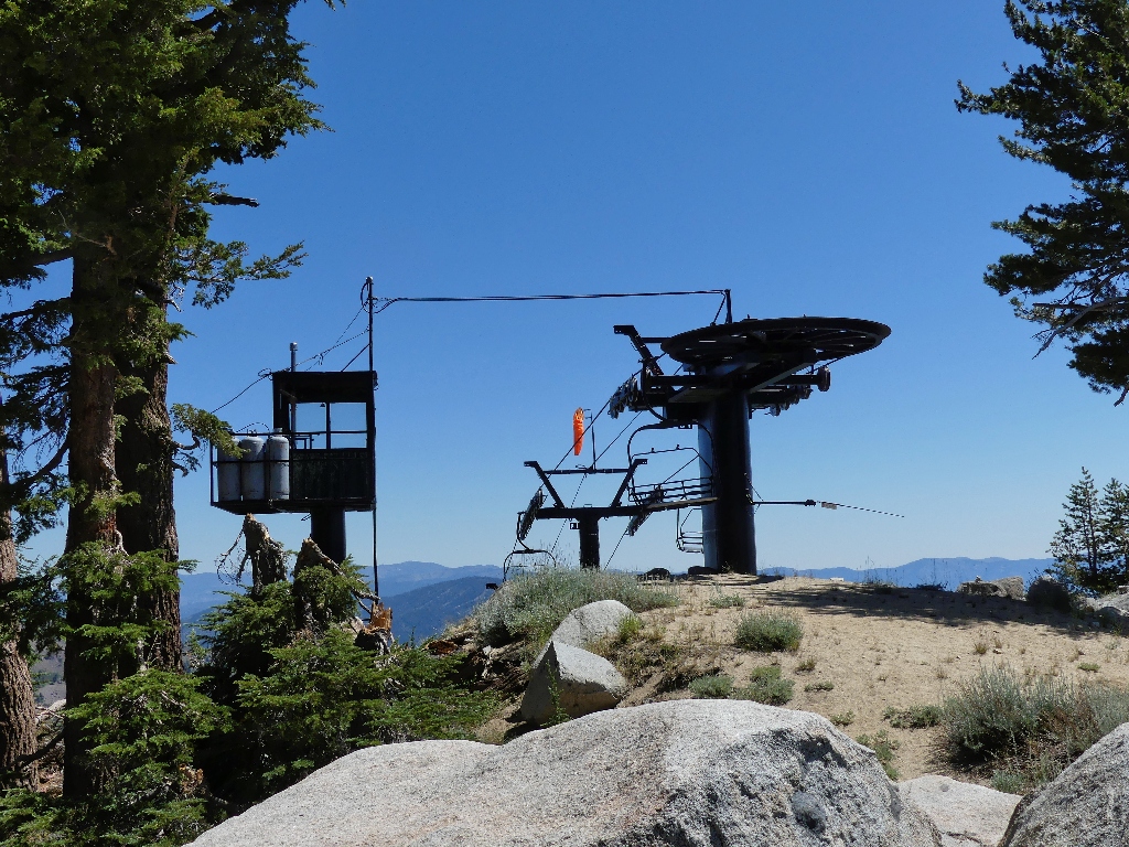
Trail maps are provided; but they are so cluttered by ski lift markings that their usefulness is limited. It seems right, though, just to head toward the hills; so I do that.
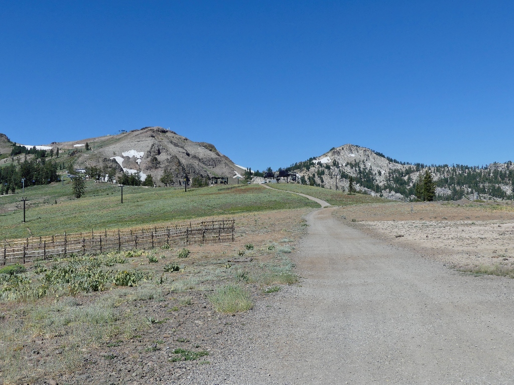
The 'trail' is a boring service road
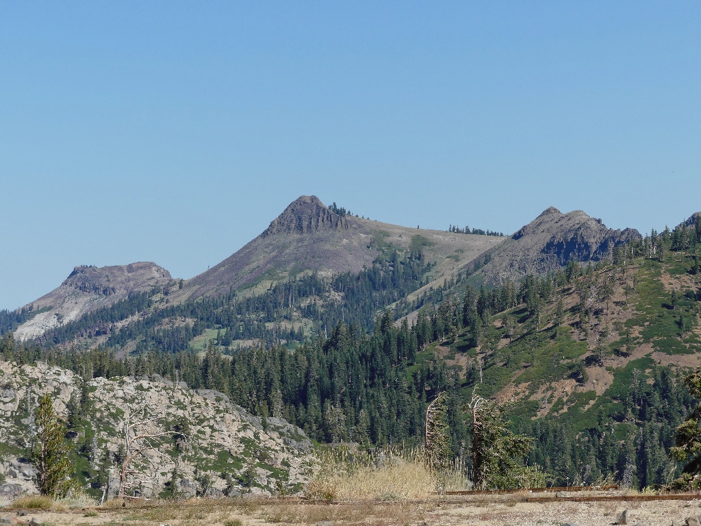
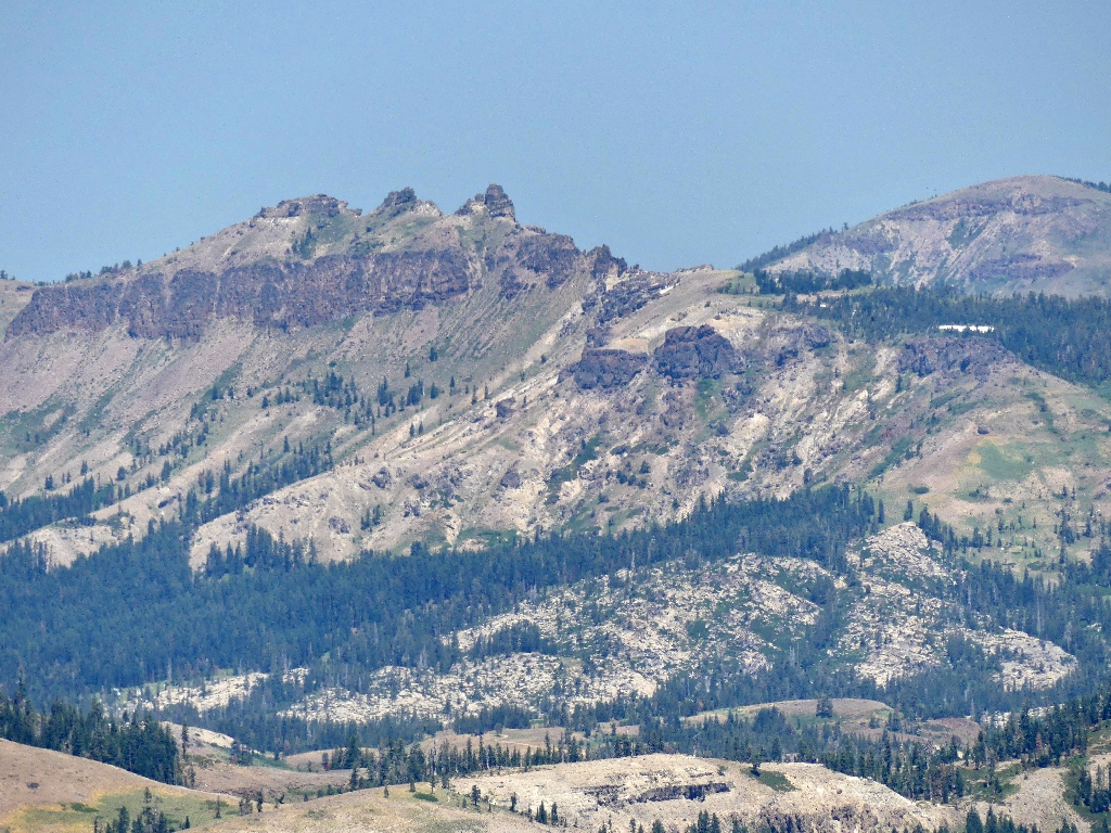
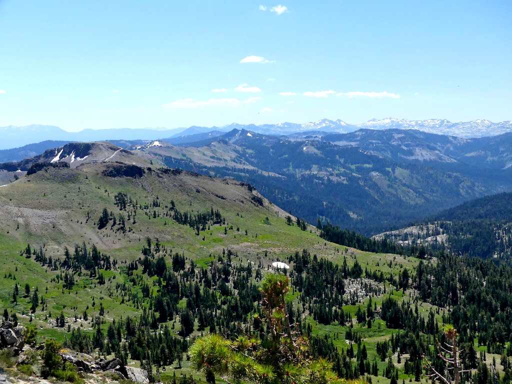
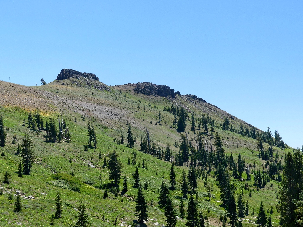
Tinker Knob (center) & Anderson Peak (left) to the north
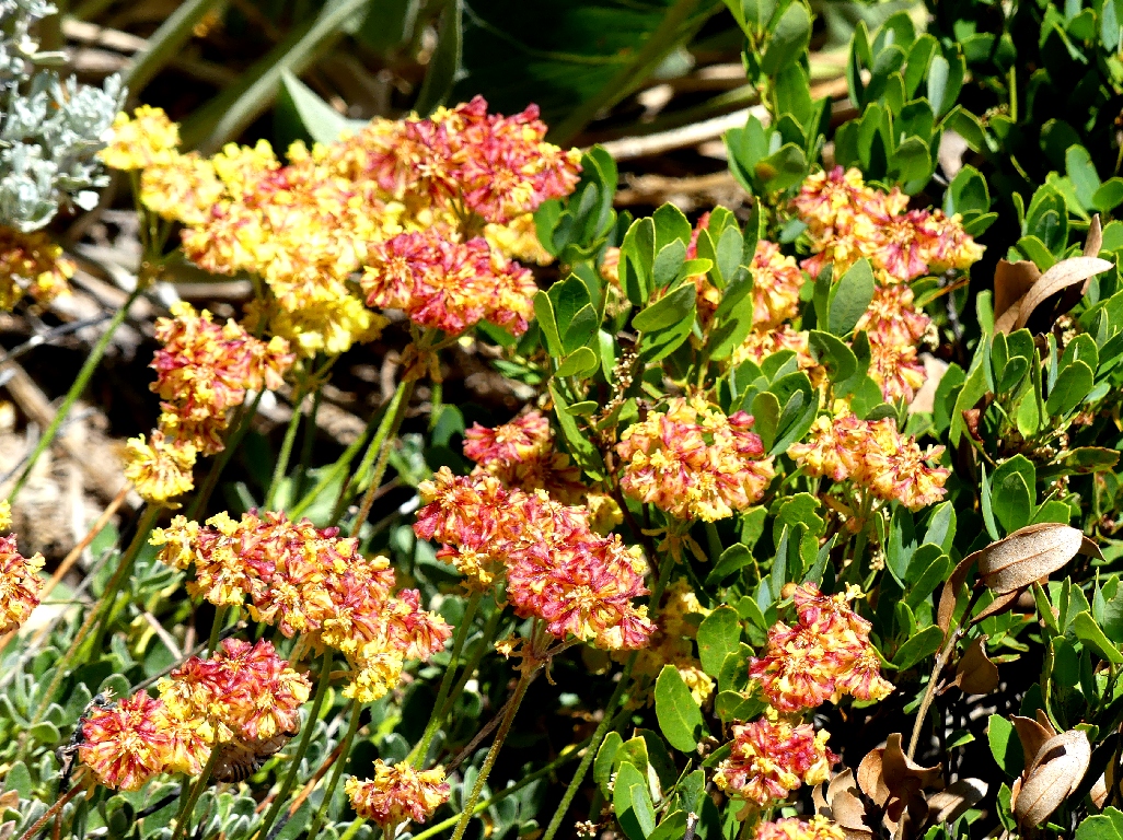
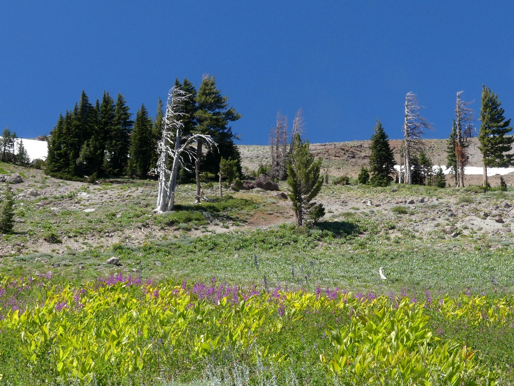
A few flowers have survived the heat thus far; but all the mule ears are pretty dilapidated, and a lot of lemmon's paintbrush has withered completely.
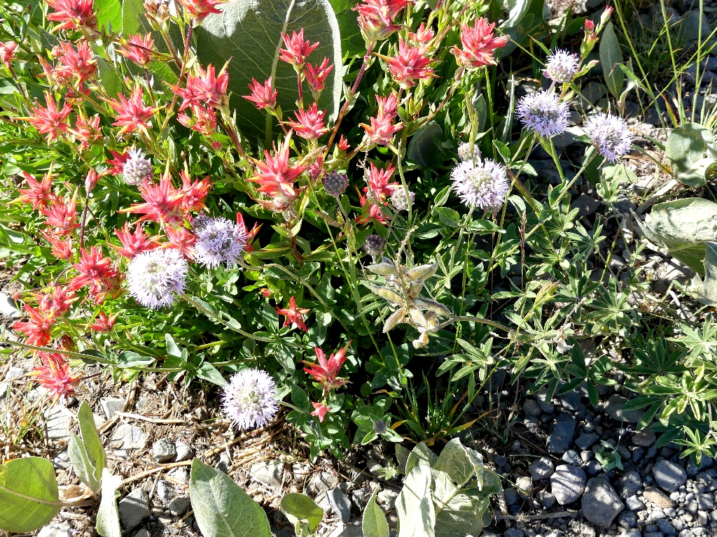
Paintbrush & Monardella
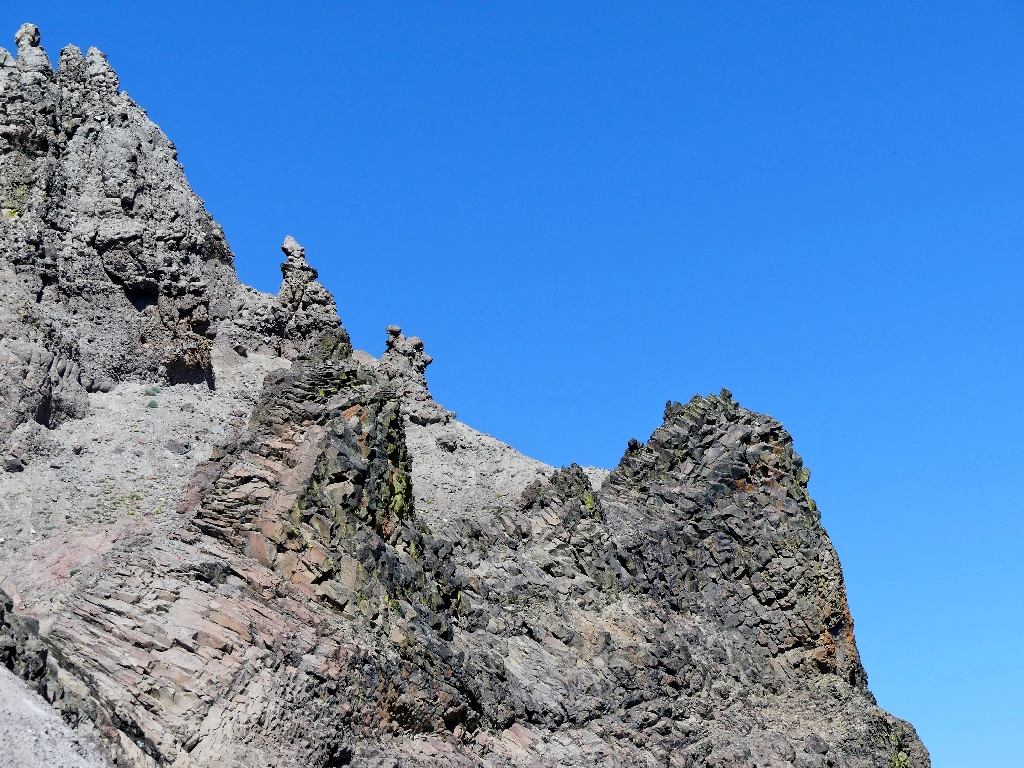
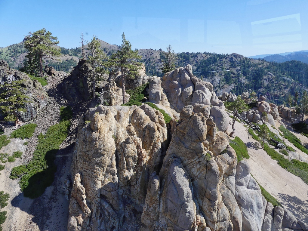
Volcanic formations
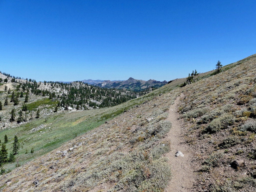
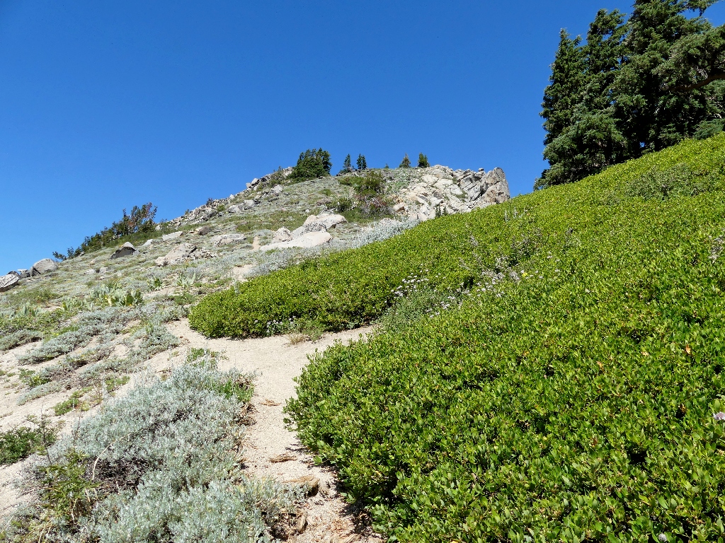
Off the road and onto a footpath
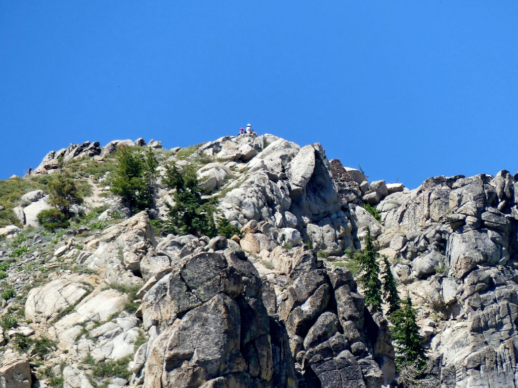
The ridge top should prove interesting
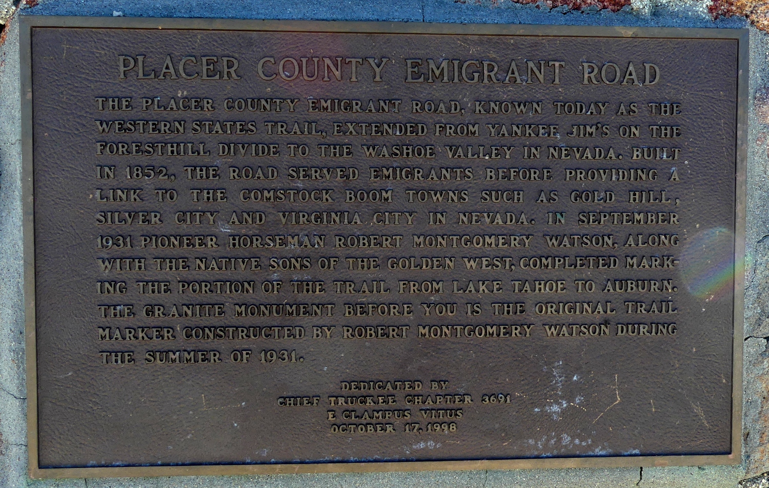
Yes. At the top, a nice stone marker honors the creator of what is now known
as the Western States Trail, which has become famous as the route of the world's
first-ever 100-mile run. Two months ago, I cheered on the
record-setting winner of this year's race at the Auburn High School.
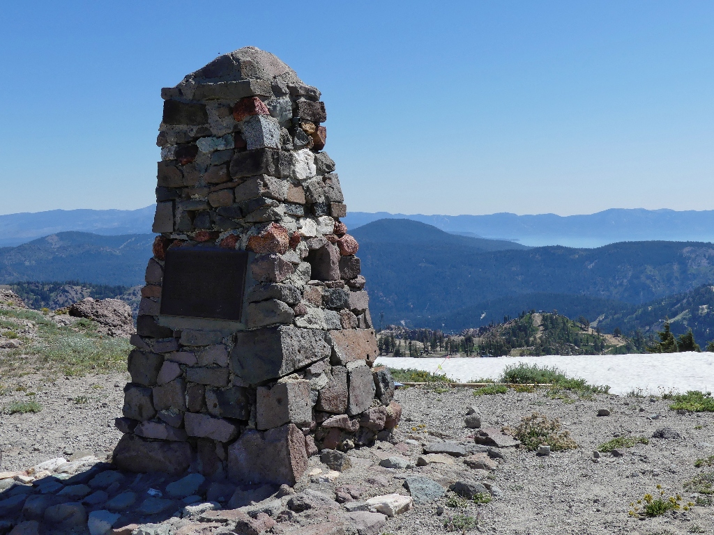
Watson Monument
⇔
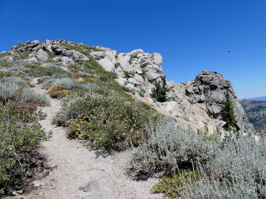
The Pacific Crest Trail runs along this ridge top, just outside the boundary of the ski complex.
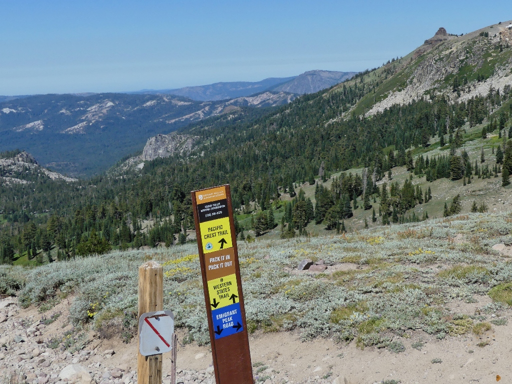
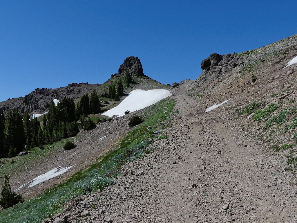
Having had no specific destination in mind, I turn north toward the big peak. There must be a useful route up to the summit; it even is referenced on that signpost.
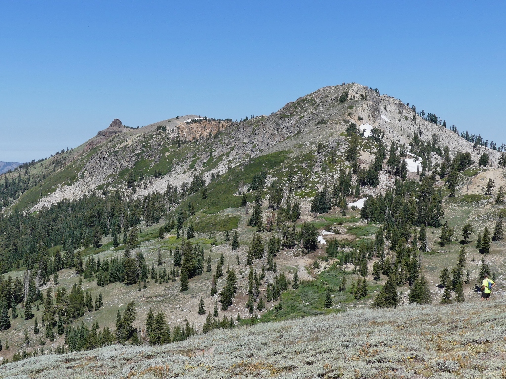
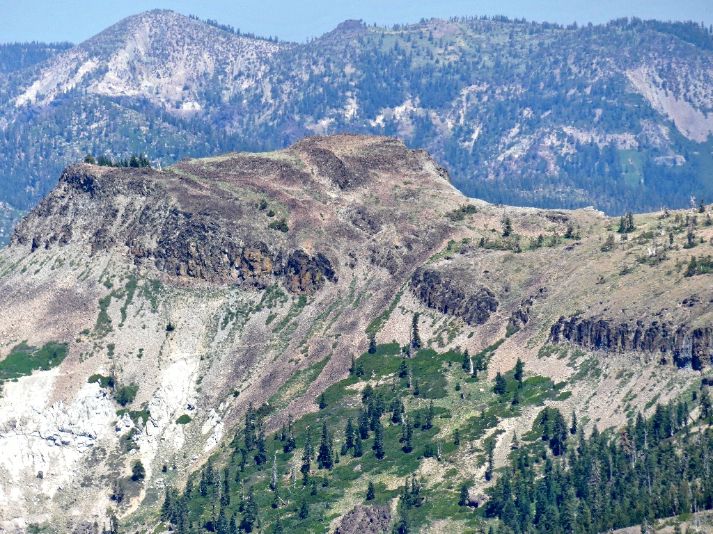
Needle Peak (left) and Granite Chief (right)
On the Pacific Crest Trail
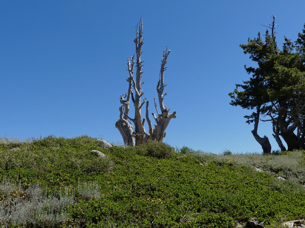
Nifty tree
This is a whole lot different than the portion of the PCT that I visited just a week ago down in Yosemite.
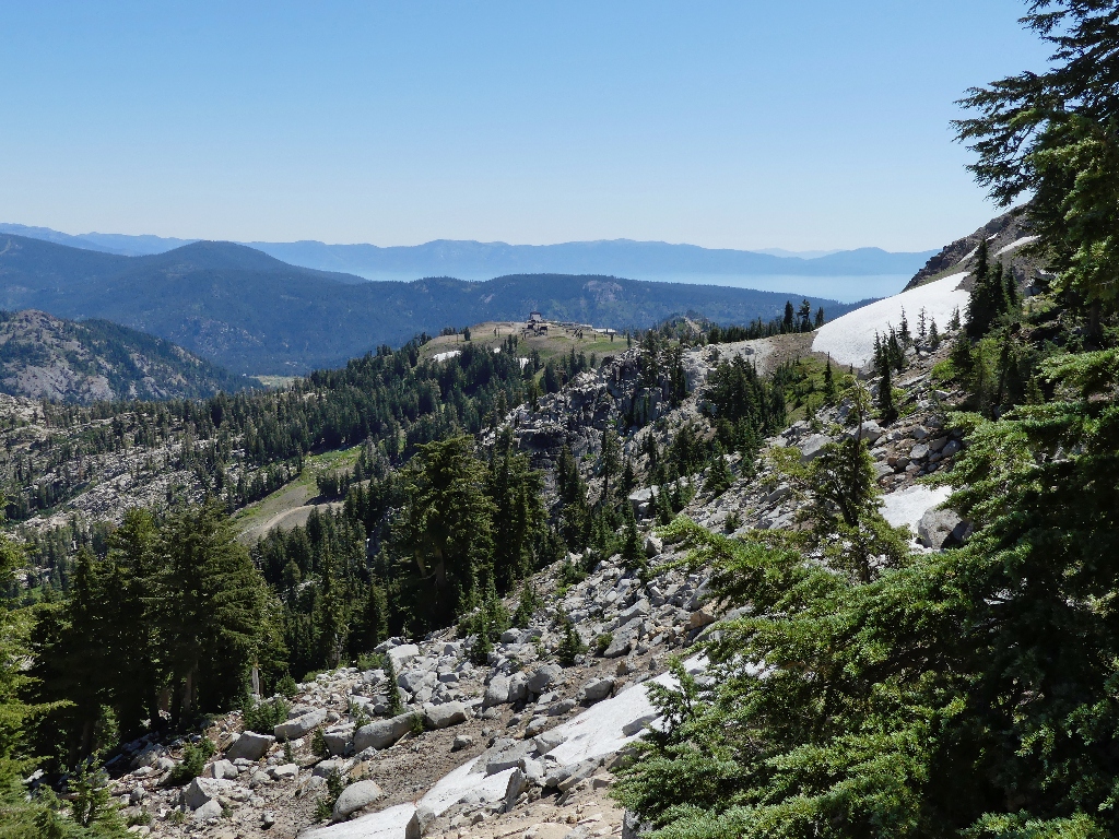
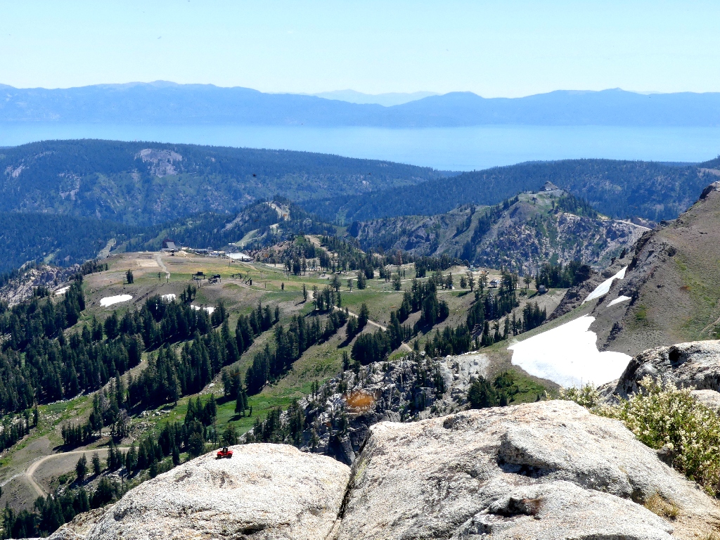
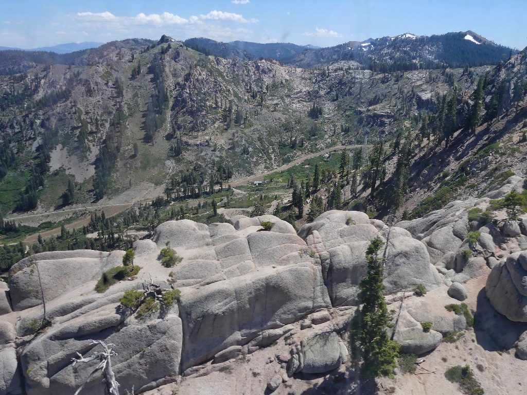
High Camp & Lake Tahoe
From the ridge top, the trail drops a couple hundred feet. Now,
it will be about a 500-foot scramble back up to the top.
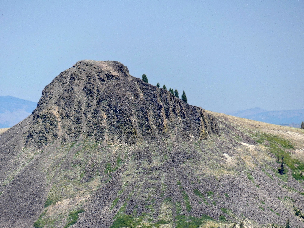
The objective
It is projected to be 107-degrees in the Sacramento Valley today; that's why I came up here. It's only about 80-degrees on this slope, but that still is pretty hot. On top of that, the very steep trail is comprised of loose sand and there is little shade.
Many rest stops are in order — under a bush when possible
Perseverance pays off, however; for now I stand atop the area's highest peak!
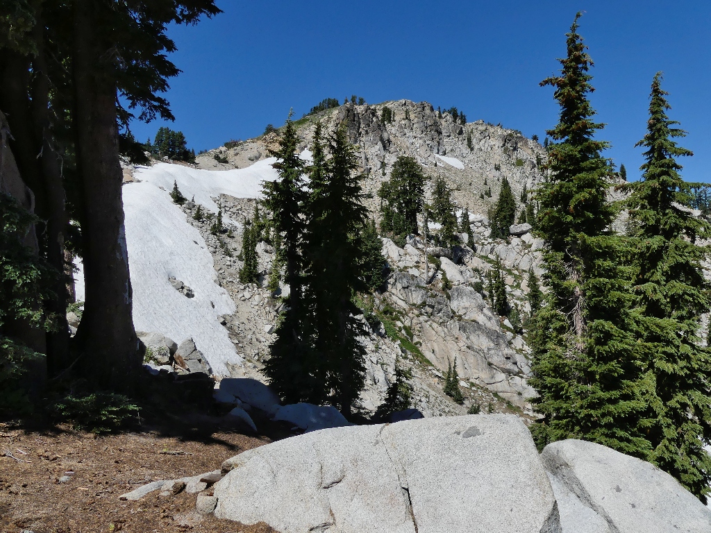
Needle Peak & Lyon Peak to the west
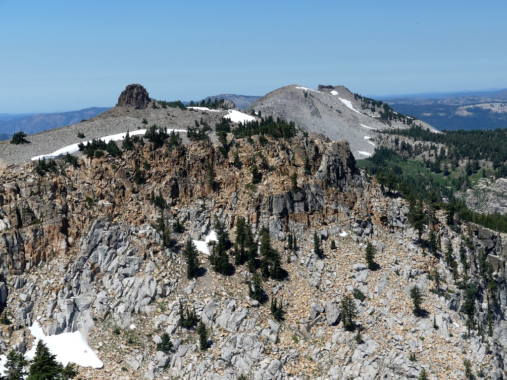
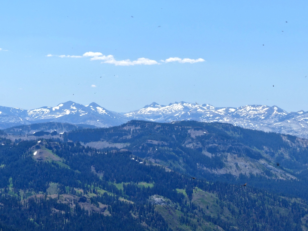
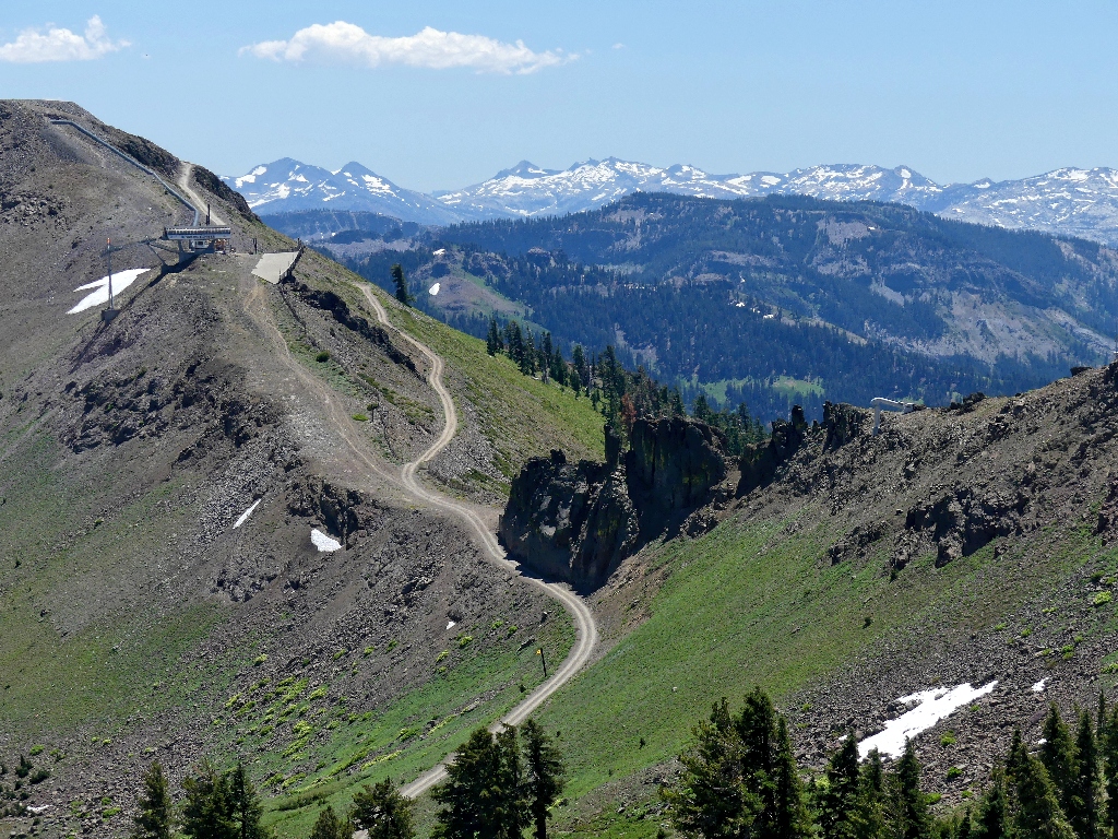
Castle Peak is well to the north
The Pacific Crest Trail continues up past that mountain, which is on the other side of Interstate-80.
Anderson Peak
Tinker Knob
The PCT also can be seen on the near slope of Anderson Peak. I was over there a few years back, on Hike #199.
View of Big Blue to the east
There is a summit register, so I sign it. I am today's first visitor here.
Two of these swoop by
Butterflies are cluttering the view to the south
In fact, I am being swarmed by hundreds of butterflies, which is pretty unusual.
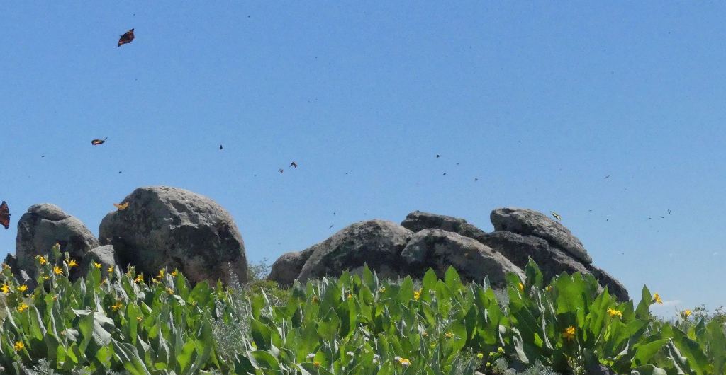
At least four different varieties have joined in the fun
Setting my shutter on a fast speed, I aim it toward a clump of flowers. Soon, I am rewarded:
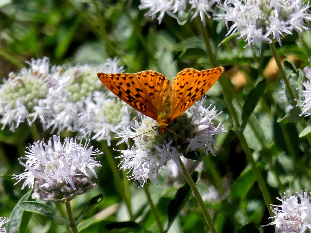
Fritillaries ⇔⇔
Another hiker couple has arrived, so I will leave the summit to them.
Starting down
Very careful footing is required in the slippery sand. I pause to chat with two local women who agree that it is pretty warm today.
About 1,500 hundred feet below
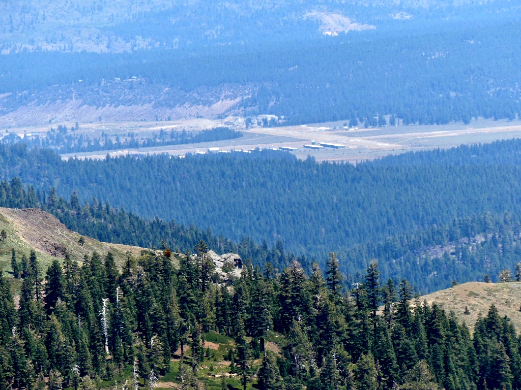
Truckee Airport
Glancing back at the summit
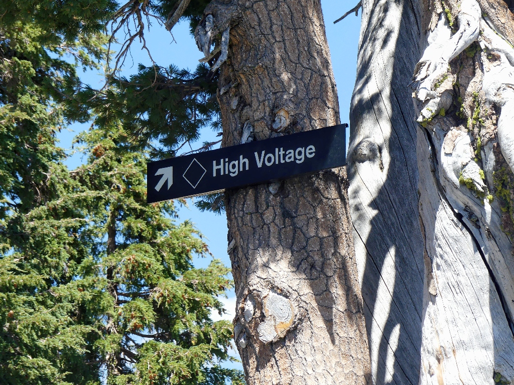
That's s ski run, not a warning
Wilderness boundary
I must get back up to tht top of that
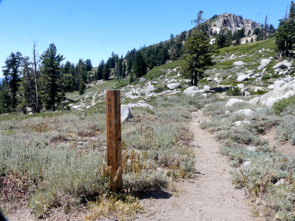
Western States Trail to the left, Granite Chief to the right
An alternate trail leads outside the boundary fence up to the near lift
facility. Opting to leave the PCT and take that instead, it proves
steeper and rougher than the other route. Another half-dozen
short breathers are required.
Sulfur-Flower Buckwheat
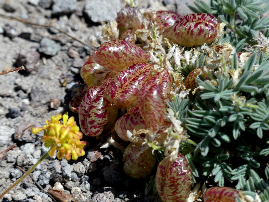
Spotted Locoweed

Granite Chief
Maintenance complex
Desolation Wilderness to the south
Al alternate route is not much fun
Fireweed provides some color
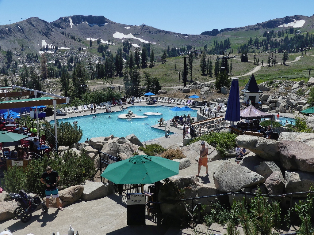
The entertainment complex is busy now
Heading directly for the tram, I manage to grab the only remaining seat. In the next fifteen minutes, the lift fills up considerably.
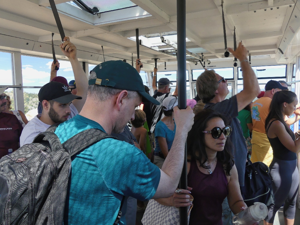
There are about 50 riders this time
I manage to grab a few more shots out a little side window that isn't too dusty.
Some amazing rocks
They are heading up
§: Well, I'm glad I did it, and there was some nice scenery; but this walk
would have been much nicer a month ago, albeit with some extra snow to negotiate.
I now can write this area off my bucket list, for one visit here was enough for me.
Actually, if one has no concern for the entrance fee, or is willing to climb the extra 2,000 feet (the tram ride down is free), it could be fun to venture farther west and visit Needle Peak and perhaps even Lyon Peak. They are OGUL peaks, after all.
| Scenery |  |
| Difficulty |  |
| Personality |  |
| Flowers |  |