Yosemite National Park
|
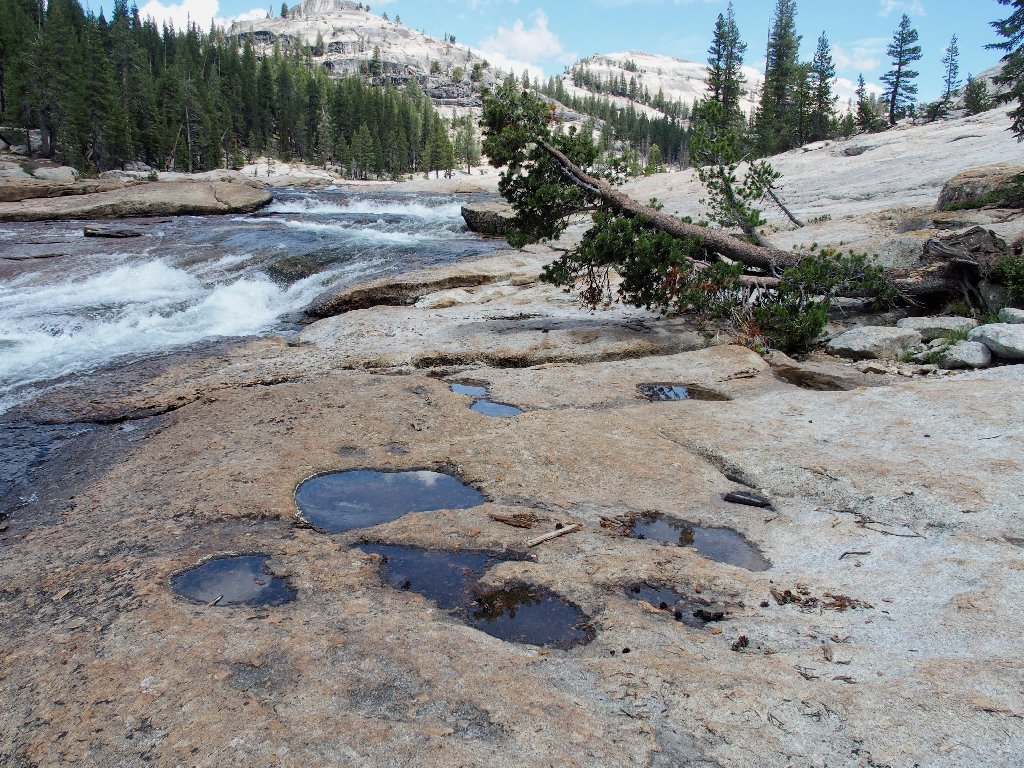
California Falls Yosemite National Park |
August 8, 2019
After writing up my trek from Glen Aulin to Waterwheel Falls (Hike #94) as the "..most fun I ever had on a hiking trail", I have been anxious to return. The standard trailhead is over at the base of Lembert Dome; but my planned shortcut is expected to save a total of four miles, no matter how far I choose to go.
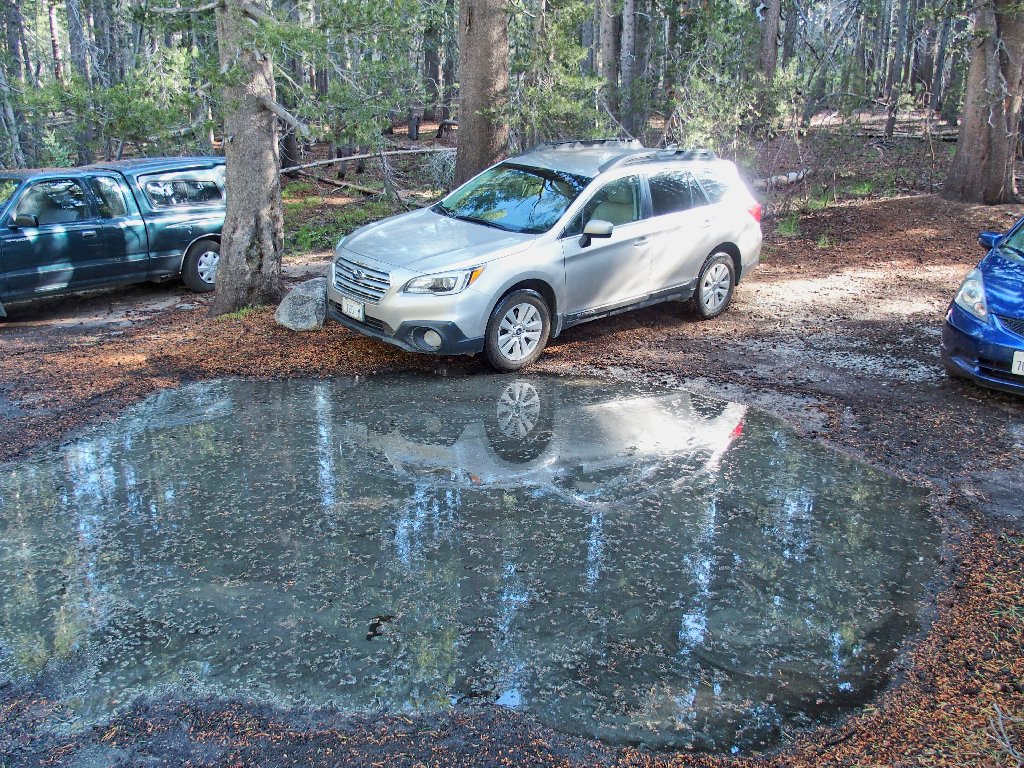
It seems that numerous others have the same idea
Yes, there are a dozen cars parked around here. This is a good thing, however, because it means that I won't have to blaze my own trail; that work already will have been done.
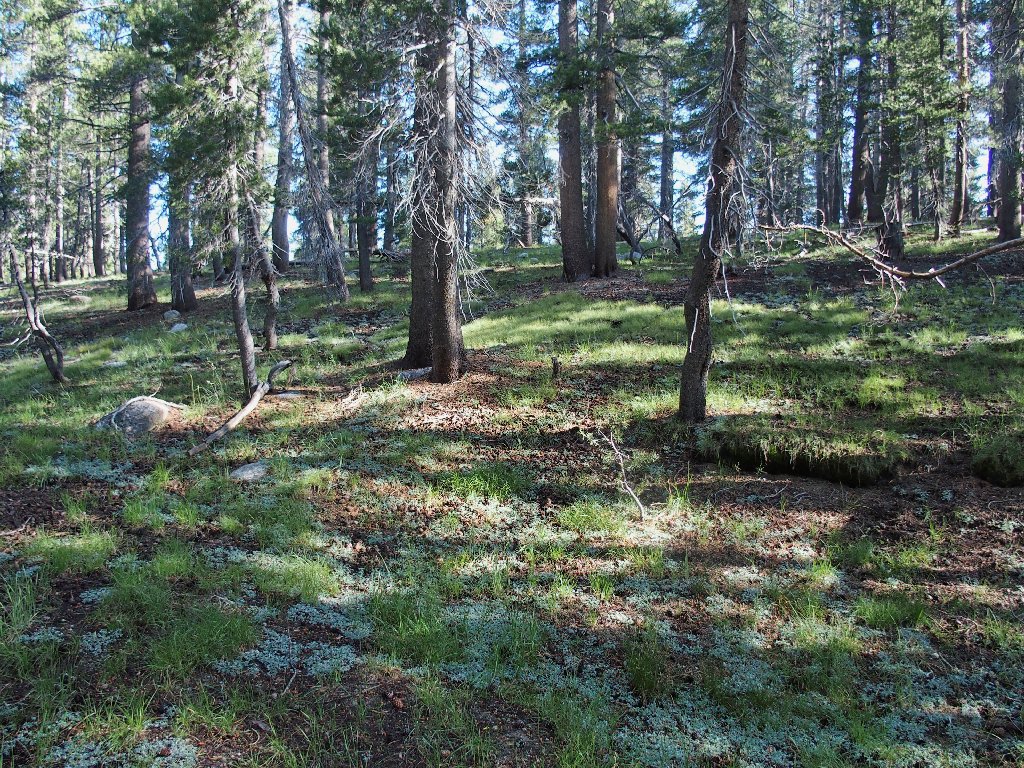
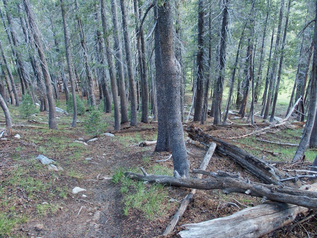
A trail appears right away
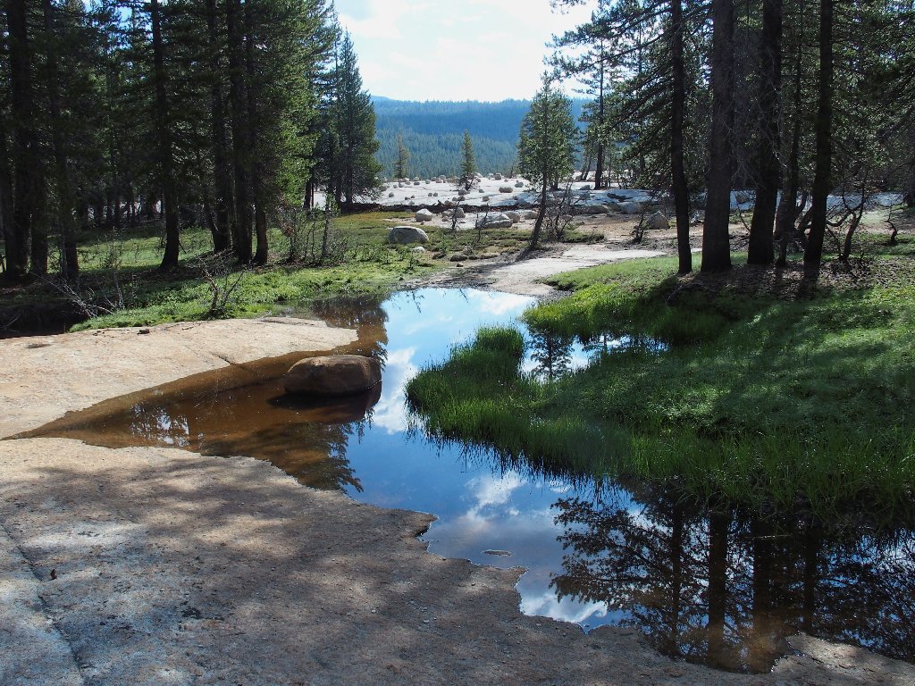
Easy crossing
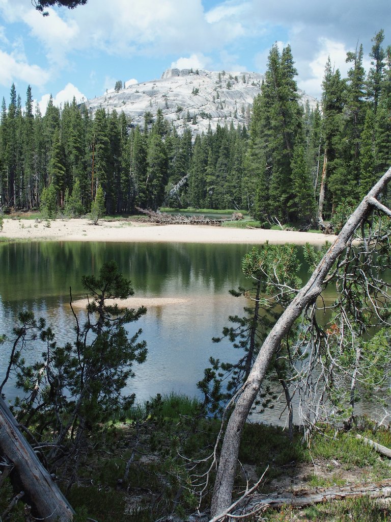
Fairview Dome is peeking above the trees
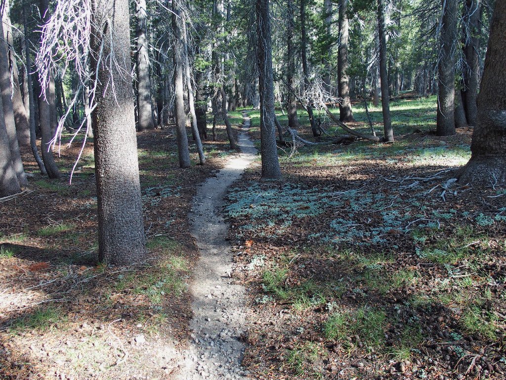
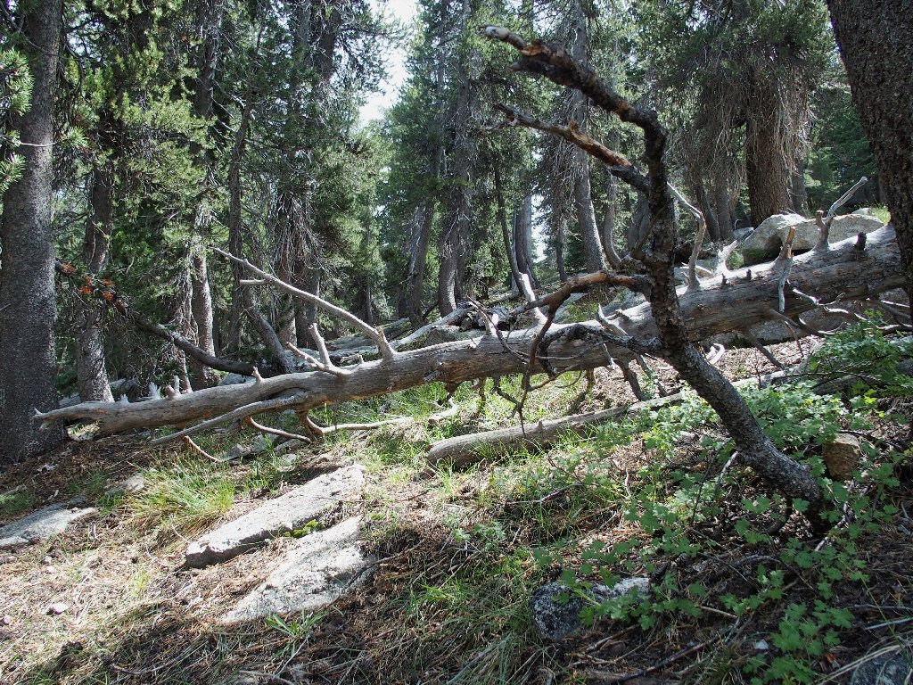
Through the forest, then down toward a meadow
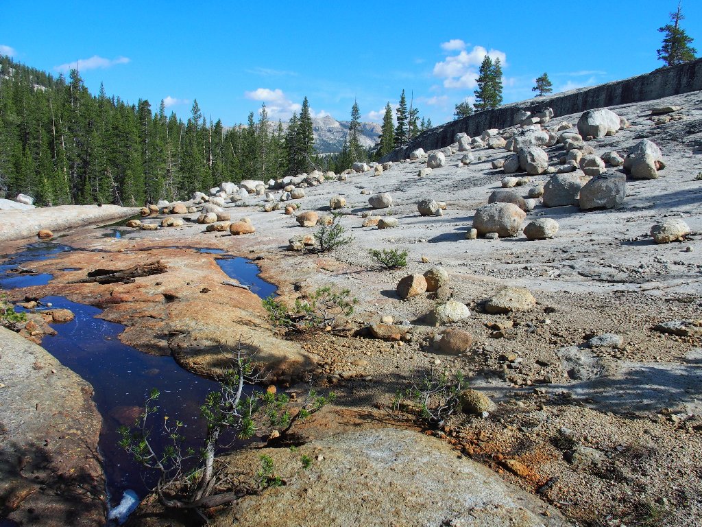
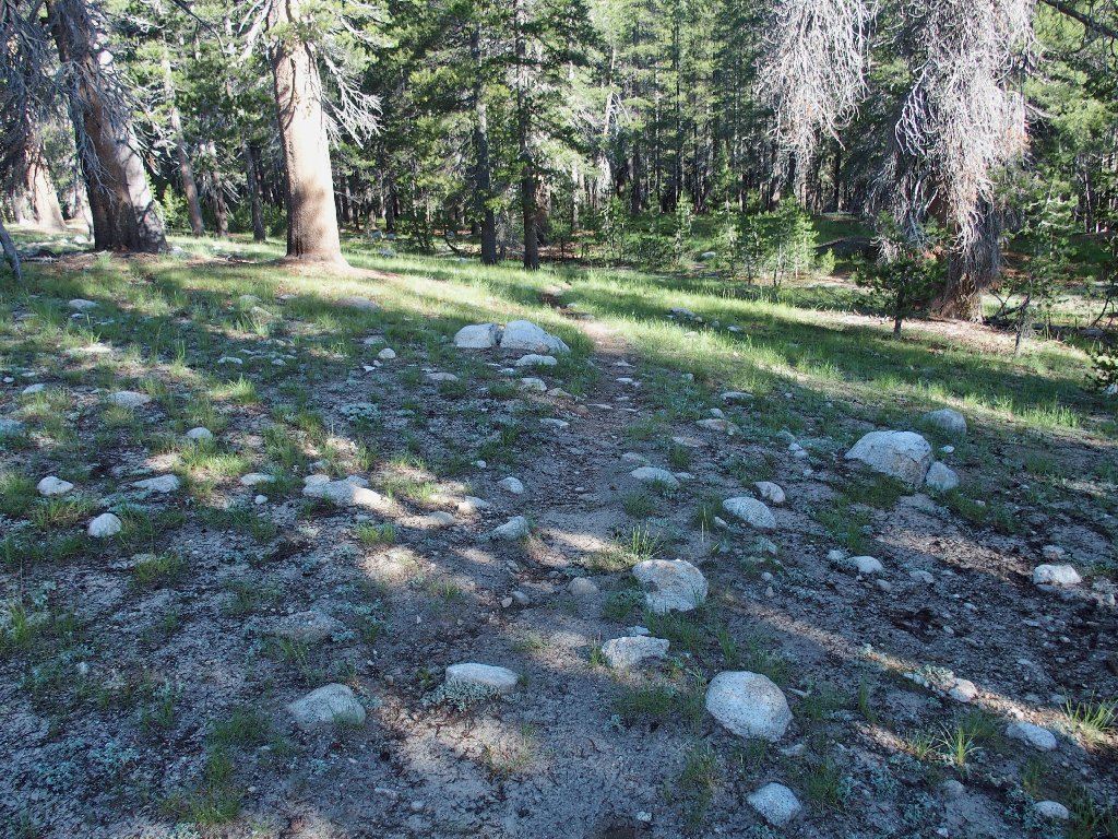
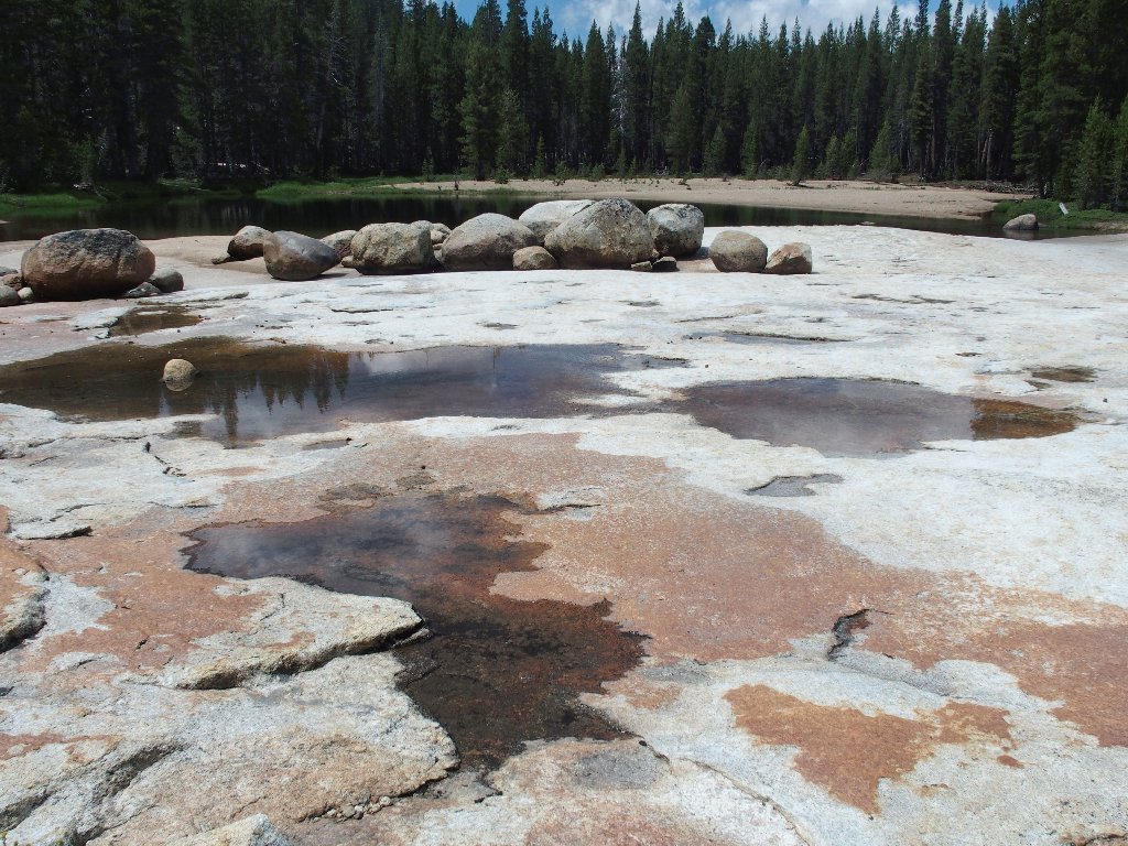
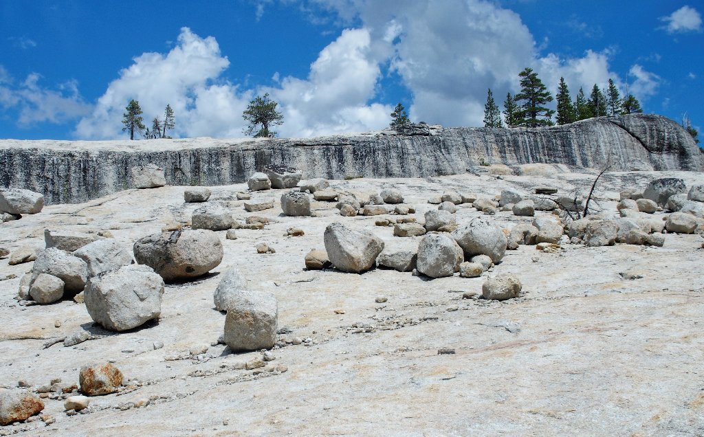
Nice boulder field
Just beyond here I lose the trail briefly where some trickling runoff plunges over a dropoff. After a false start, I learn that keeping to the right is the answer.
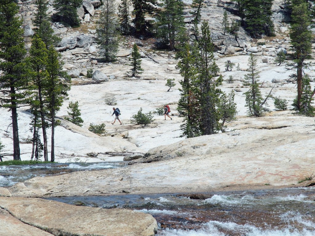
Reaching a big meadow, I spot a pair of hikers on the other side.
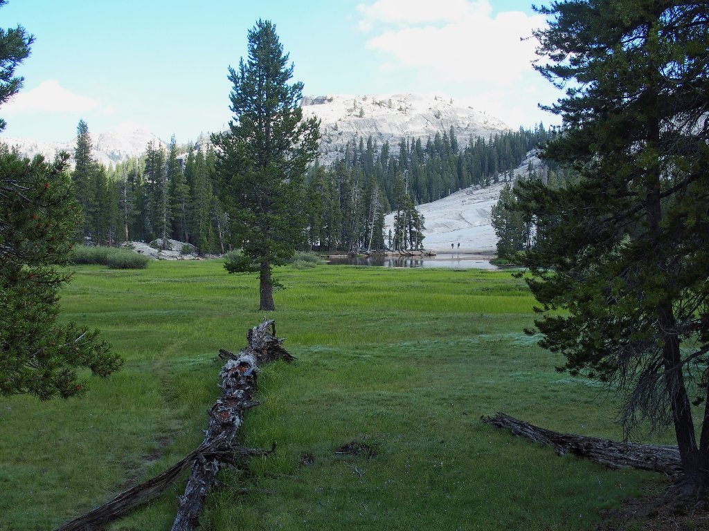
My first company of the day
After crossing the meadow, my shortcut is complete. I have connected with a use trail that comes up from Pothole Dome, a route that I traversed on Hike #68, but which saves only two miles instead of four.
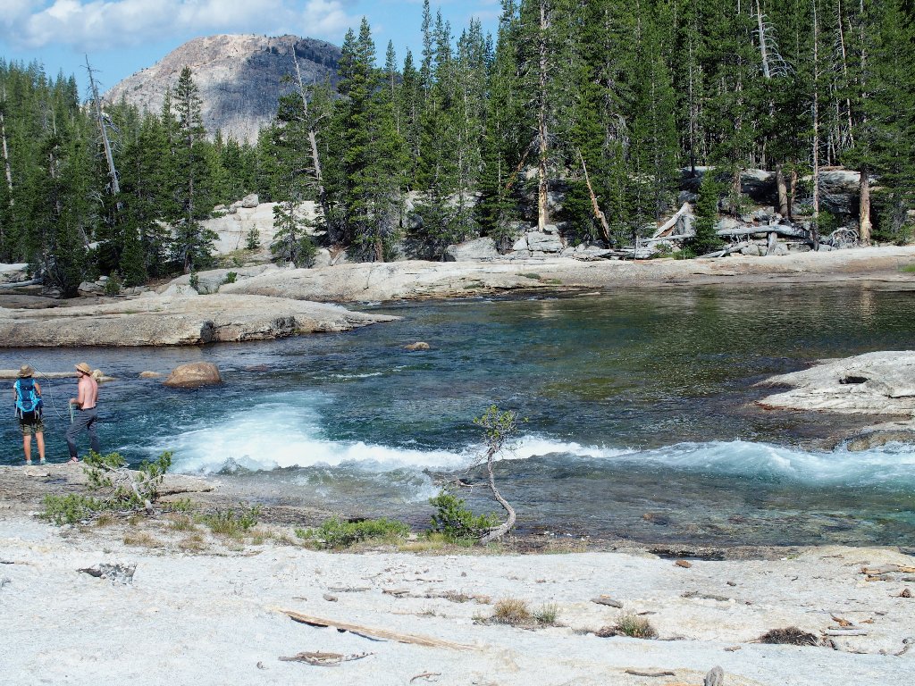
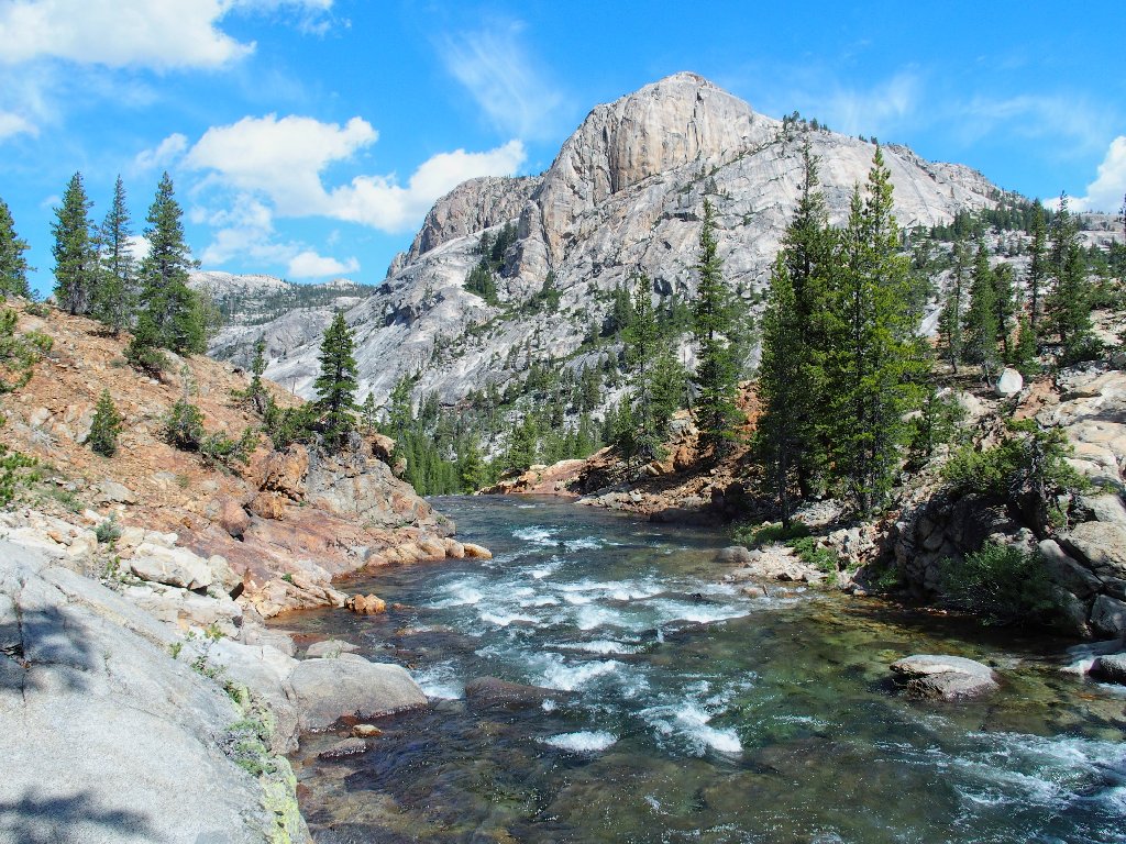
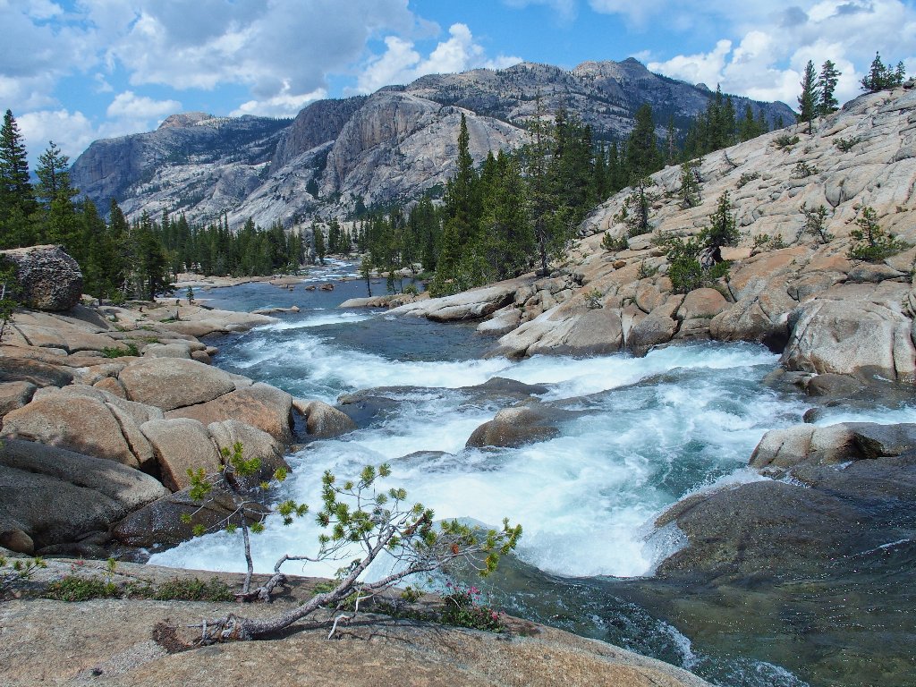
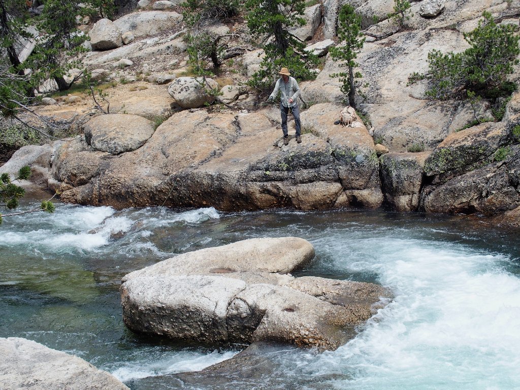
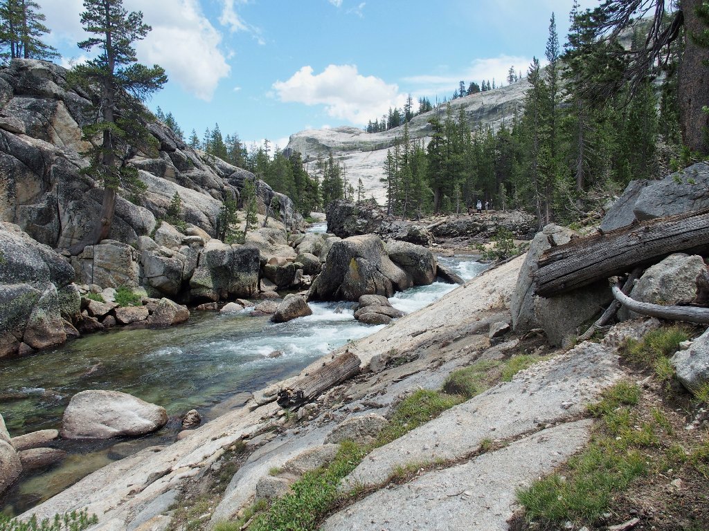
Fishing the Tuolumne River
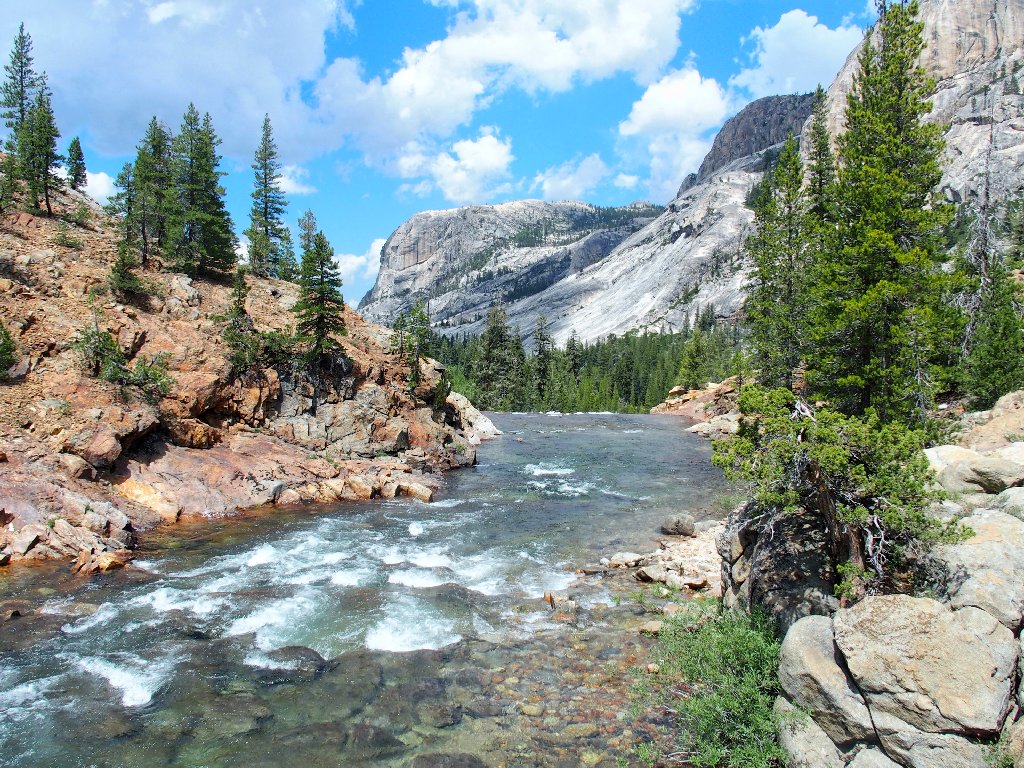
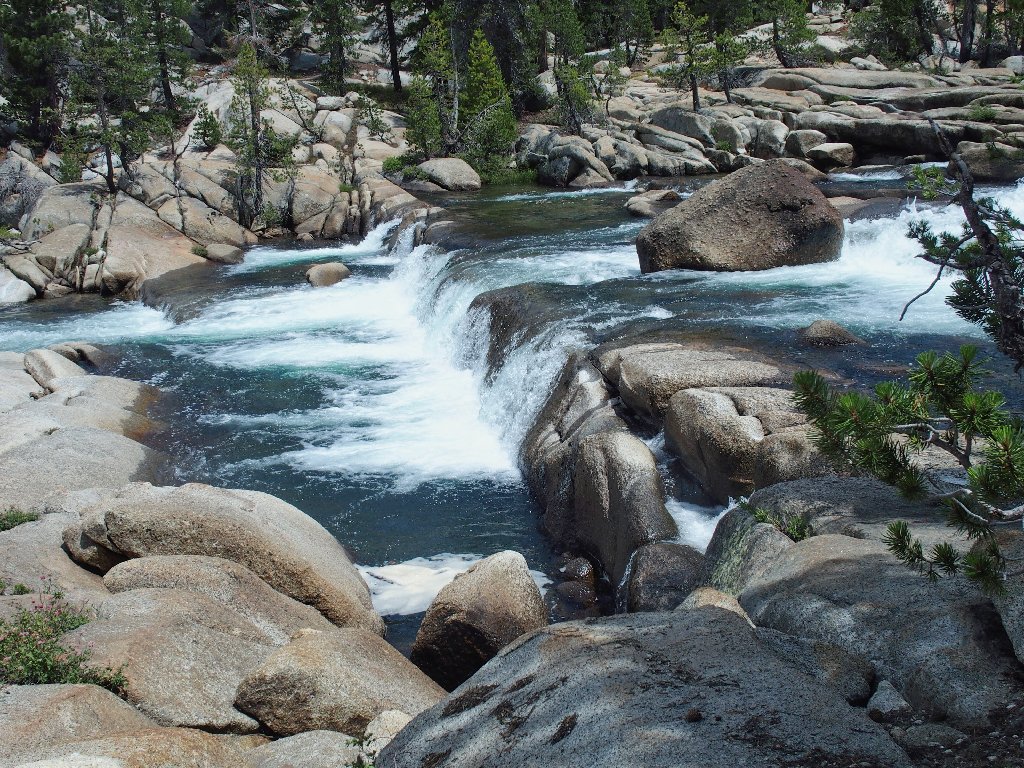
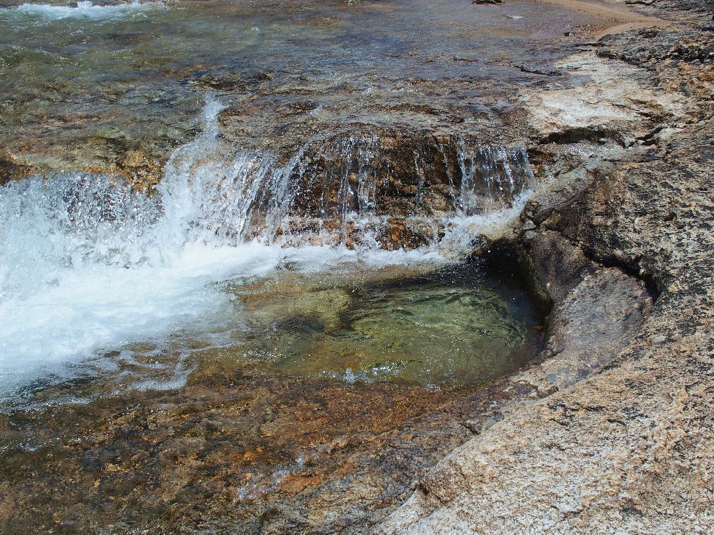
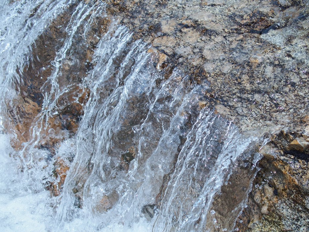
It is a pleasure and a joy just to be anywhere near this river as it plunges through its granite surroundings.
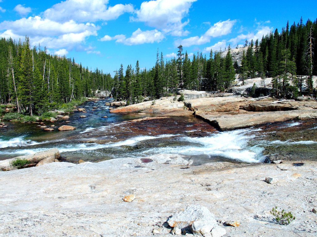
Traversing this big slab is best avoided during times of high water
A picturesque channel
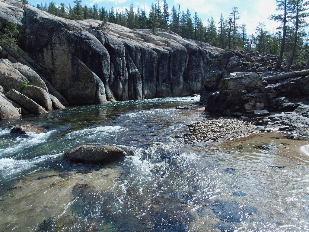
The going gets a bit rough here, requiring some hands-on scrambling in places to negotiate the streamside passage.
It's only five minutes or so of work, however
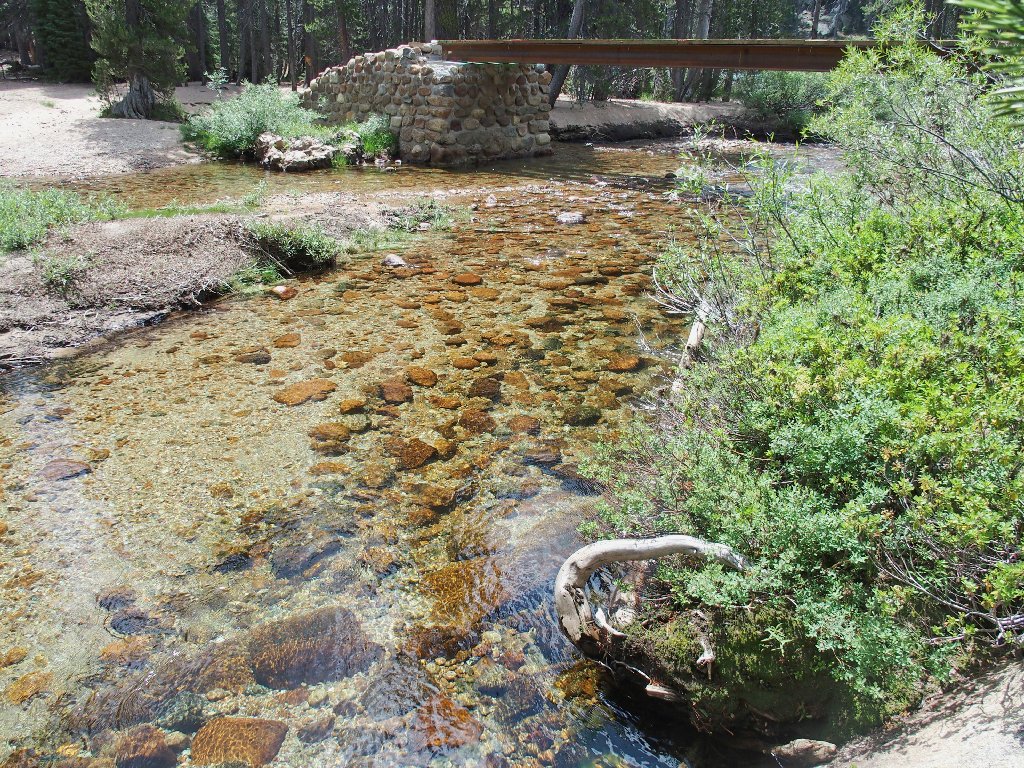
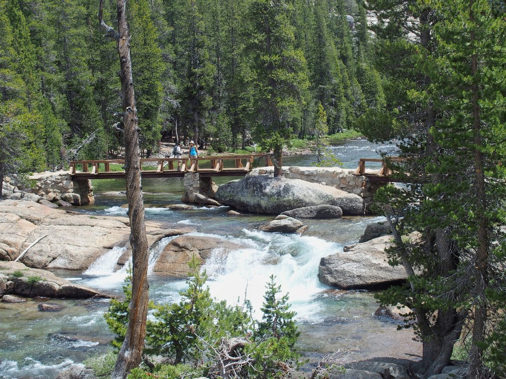
There it is — the bridge that I have been watching for! The 'hard' work is over.
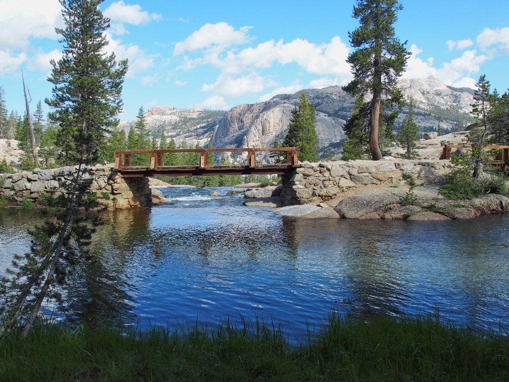
Joining the Pacific Crest Trail
The Grand Canyon of the Tuolumne River begins right here. It's a truly
one-of-a-kind place.
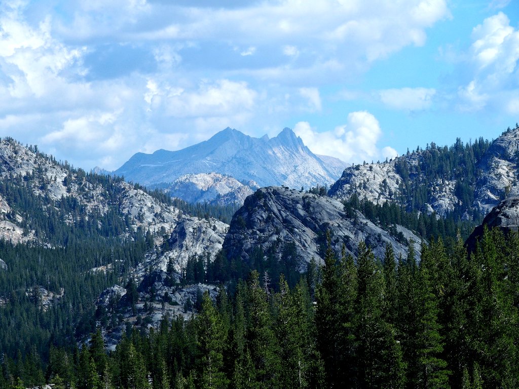
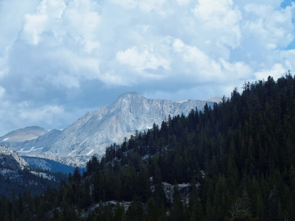
Quarry Peak to the northeast is eleven miles away
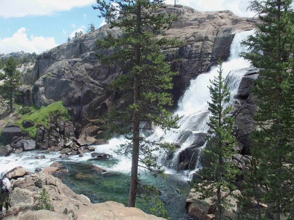
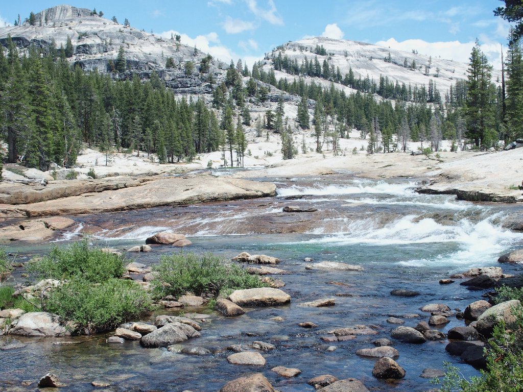
About a mile down the PCT is the first major attraction of the day.
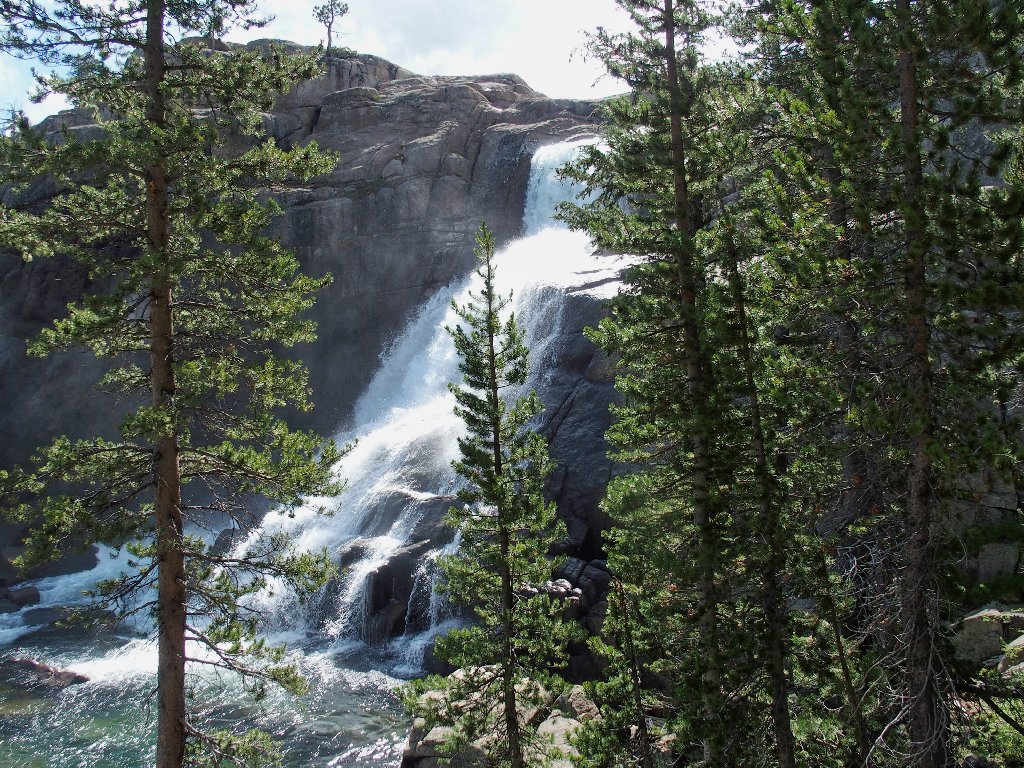
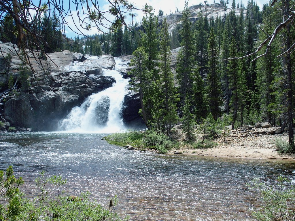
Tuolumne Falls
Another few hundred feet of decent get me past a trail junction over to May Lake, to another nice footbridge, where I cross the river for the first time.
I previously named that as 'Guardian Peak'
Due partly to this year's excessive snowpack and partly to utter ineptitude
on the part of the new company that manages these things, six of the seven
high-Sierra camps were not opened this season.
No lemonade at Glen Aulin today
Leaving the Pacific Crest Trail at the footbridge, I start down an amazing stretch of river that alternates between redrock cascades and mellow greenish sections winding through meadows.
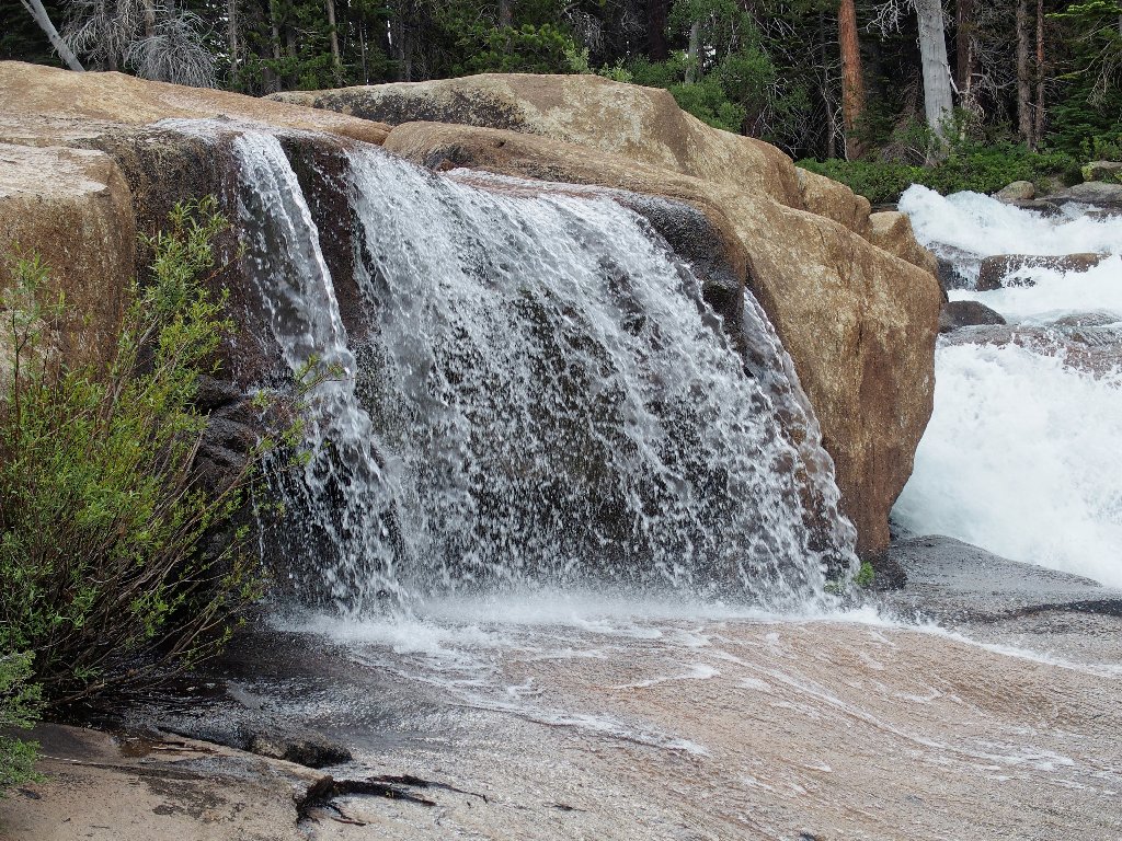
A mini-waterwheel
I am a bit put off by the weather, though. It rained on me briefly yesterday, and it might well do so again. Being already five miles from the car, I don't know how much farther I should travel.
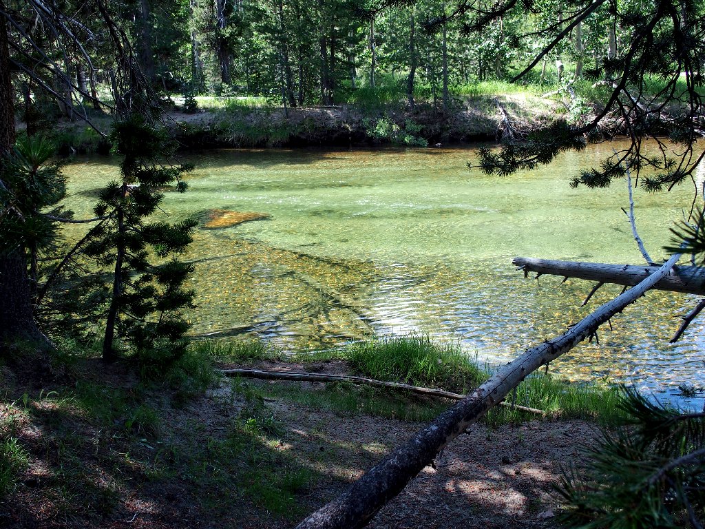
One of those mellow sections
Also, both feet are feeling a bit weird. It might be time to replace these boots that have seen a lot of service. I do have two replacement pairs waiting in the garage.
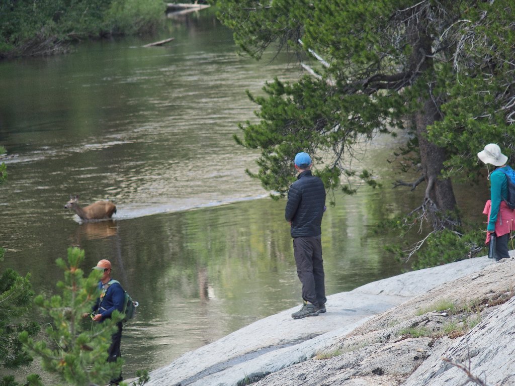
The boy doesn't even see the deer
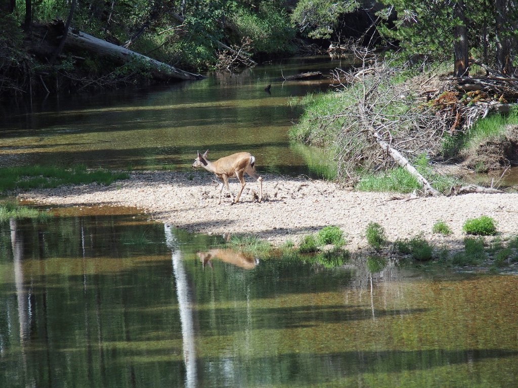
The poor guy is limping a bit. I trust that its leg will heal.
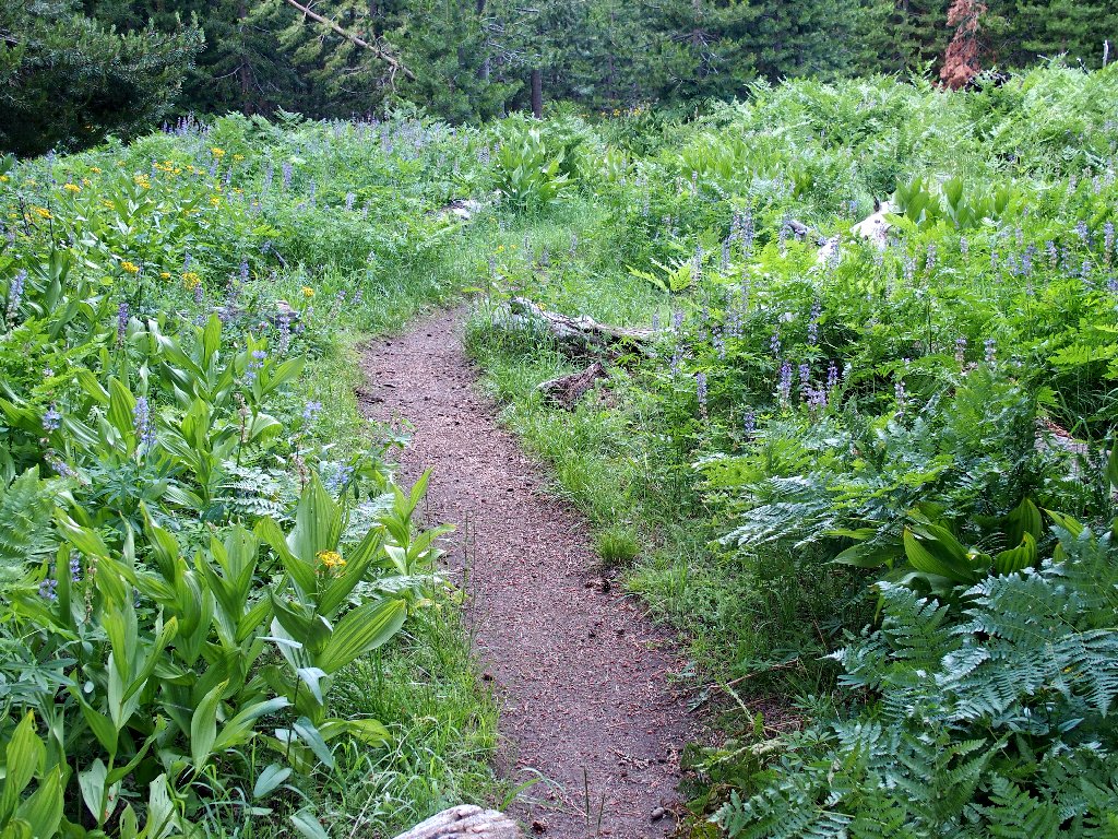
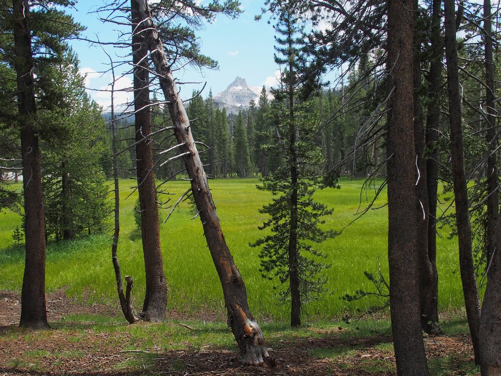
The meadow is in good form
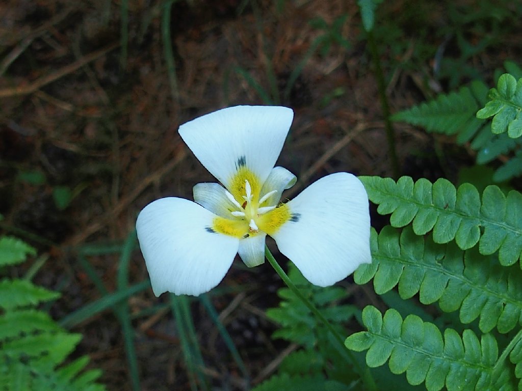
Leichtlin's Mariposa Lily
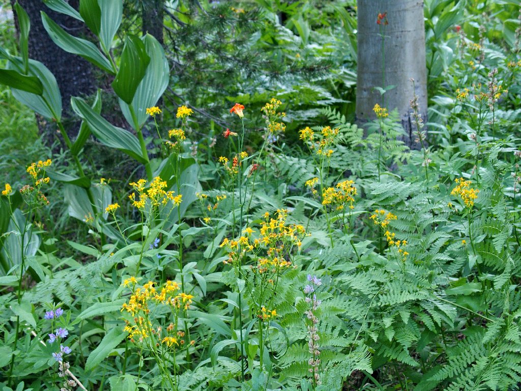
Alpine Lily and Ragwort
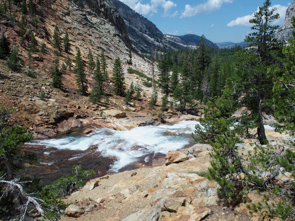
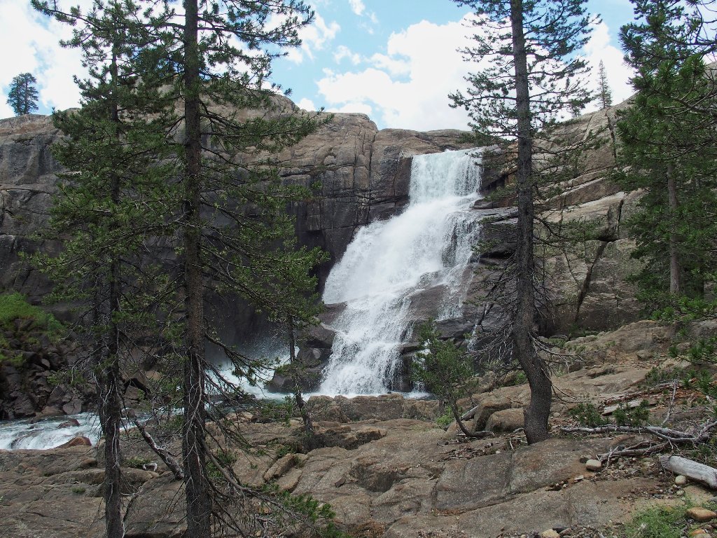
Despite the weather, I will risk another mile on the trail to view one of the three biggest remaining waterfalls.
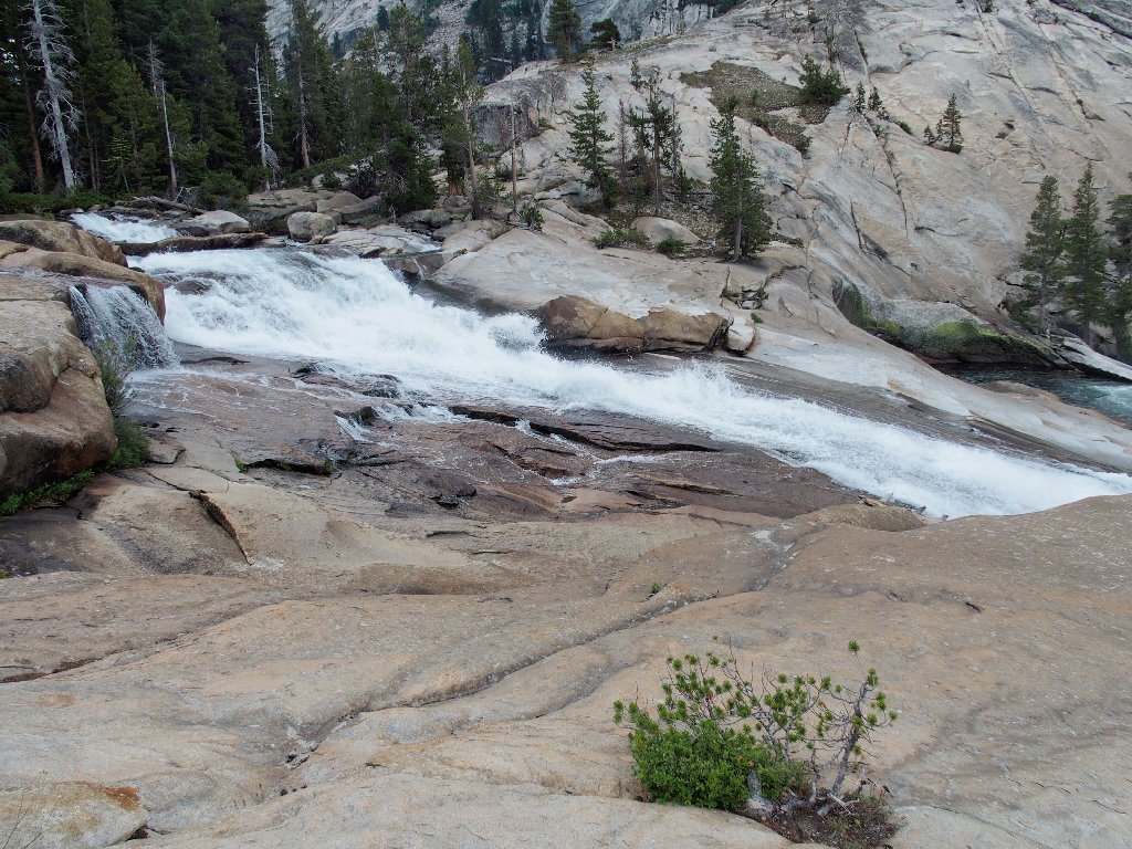
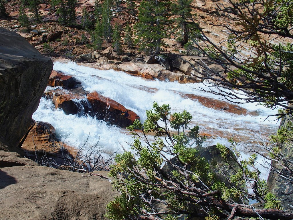
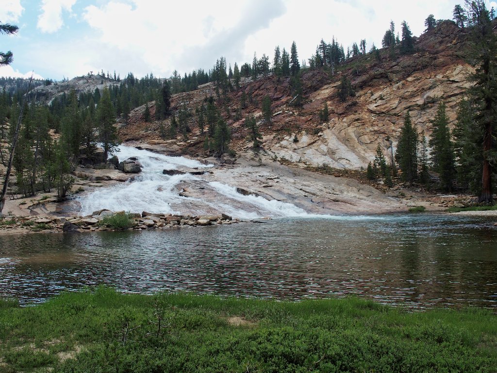
The top of California Falls
Nice
From here, it turns out that venturing all the way to Waterwheel Falls would involve
another three total miles and an additional 900 feet of elevation loss. If the
skies were clear, I would continue anyway, hoping that my feet would survive.
As it is, the wimp in me decides not to go all the way under the present conditions.
Although I have done only a couple of 14-mile walks ever, I'm not yet too old
to incur another one; but I'm just not up to it today.
Meadowsweet and Fleabane
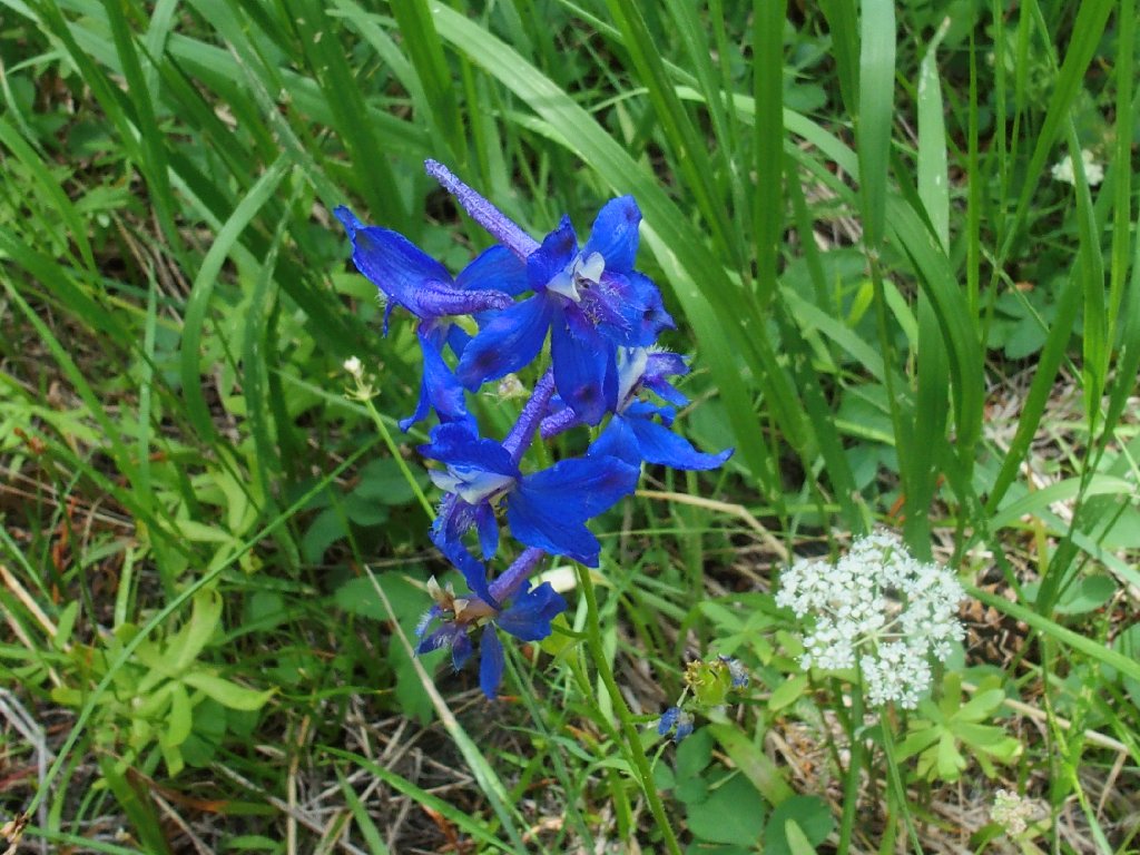
Larkspur
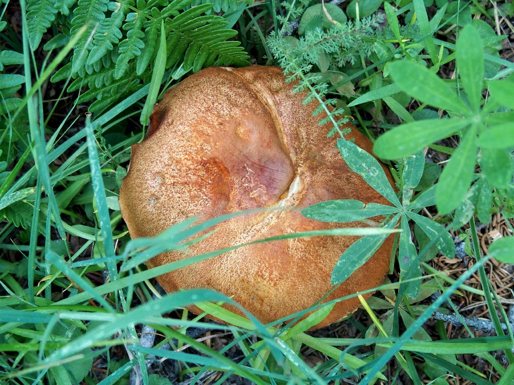
Suilla fungus
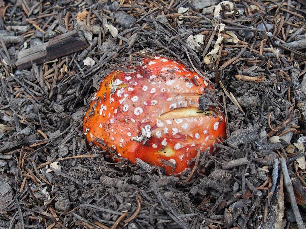
Fly Agaric
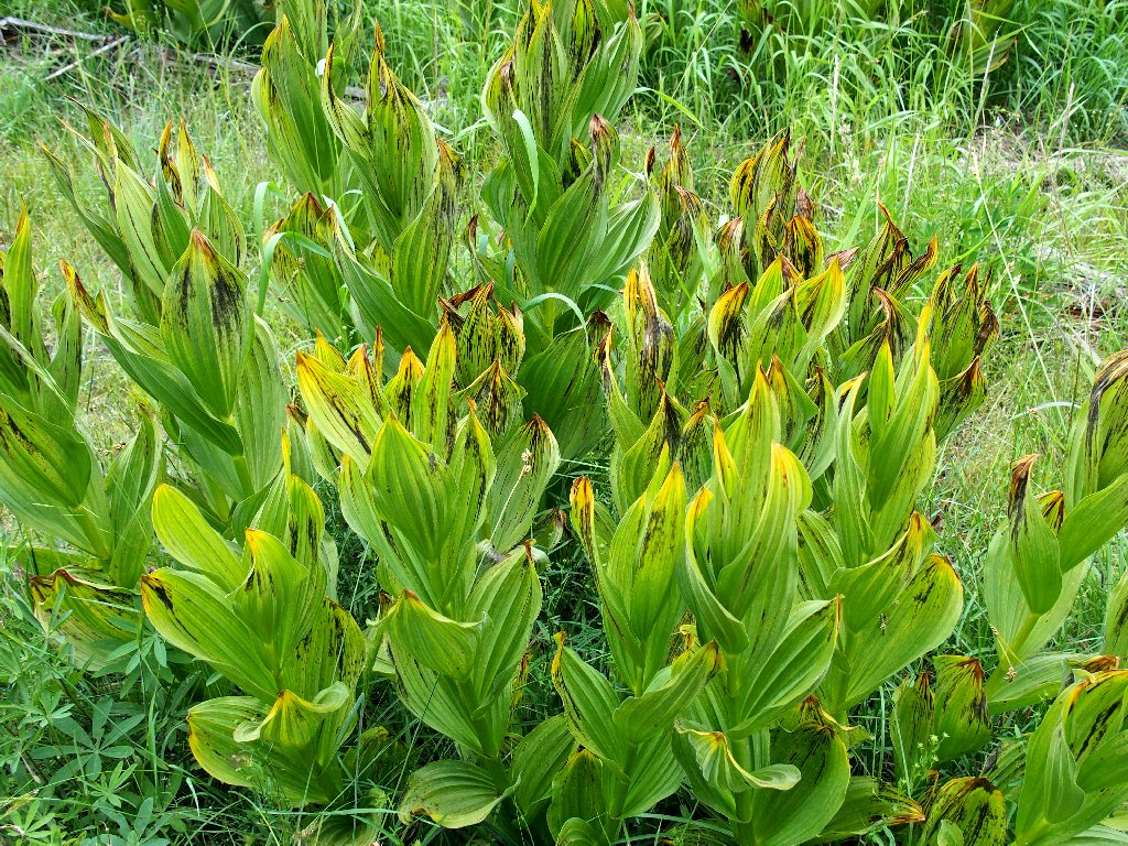
Corn Lily
The sun goes in, and the sun goes out
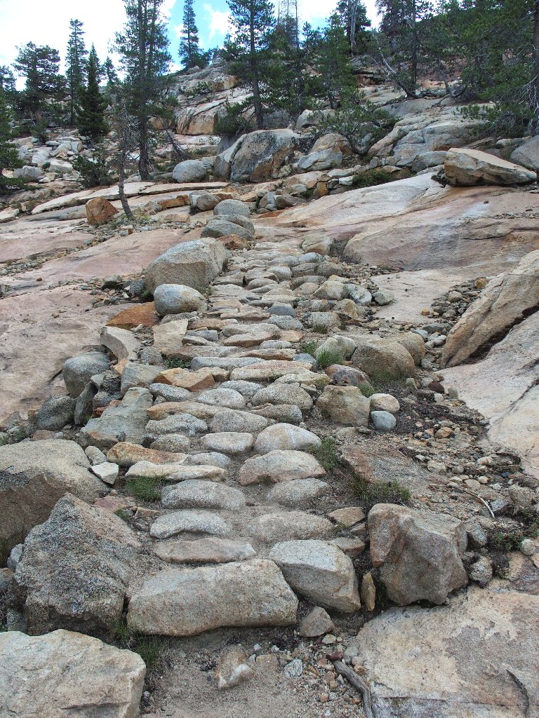
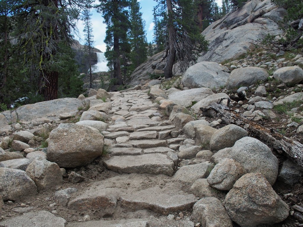
There are lots of stone steps in these parts
Back near Glen Aulin
Well, the sky isn't threatening any more than it was earlier, and now there are but four miles remaining. Maybe I'll make it.
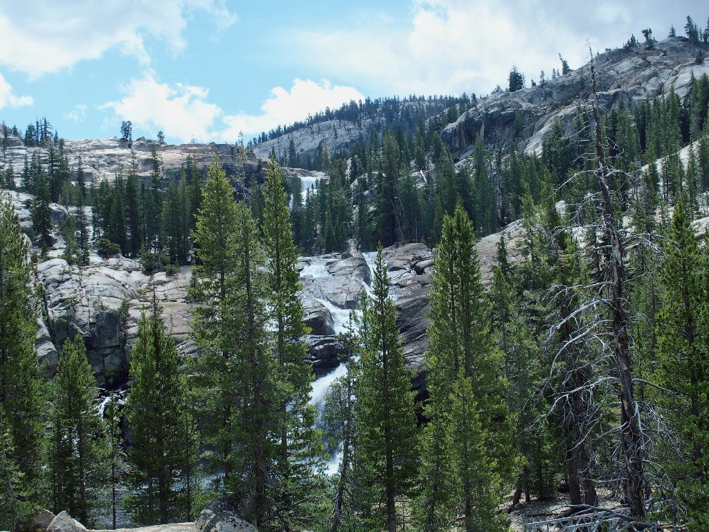
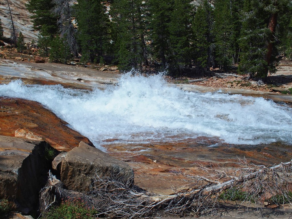
Looking up at two waterfalls
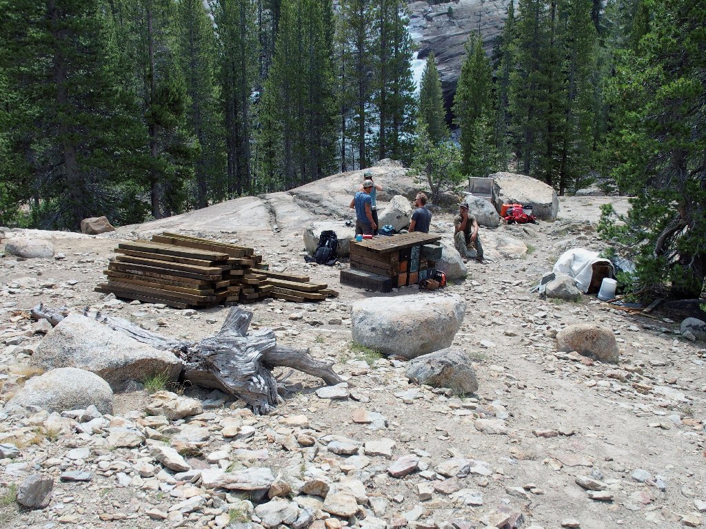
That trail crew hasn't moved in an hour and a half
Right at the high-Sierra camp is a cataract that helped me sleep back during Hike #94:
White Cascade
Back on the PCT
Mount Conness, 12590'
At least the clouds are higher than that mountain.
Back at Tuolumne Falls
Nice, but it's been nicer
This next section of river up to the big bridge is a more than worthwhile destination in itself.

It's "so long" to the main trail
Back in the rough section
That's the same hat I saw earlier
Scrambling through here is fun
I inexplicably ignored this formation earlier.
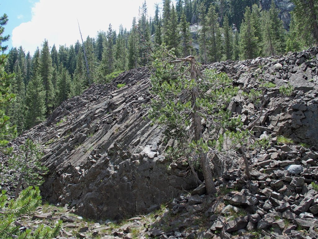
Little Devils Postpile is 9.4-million years old
The basalt formation is much smaller than its counterpart down by Mammoth Lakes, but it's the best that Yosemite has to offer.
The skies actually are clearing somewhat
Over on the PCT, those guys are missing the best stuff
Back on the big slab
A pretty little spot
Shot at 1/2000 second, just as an experiment
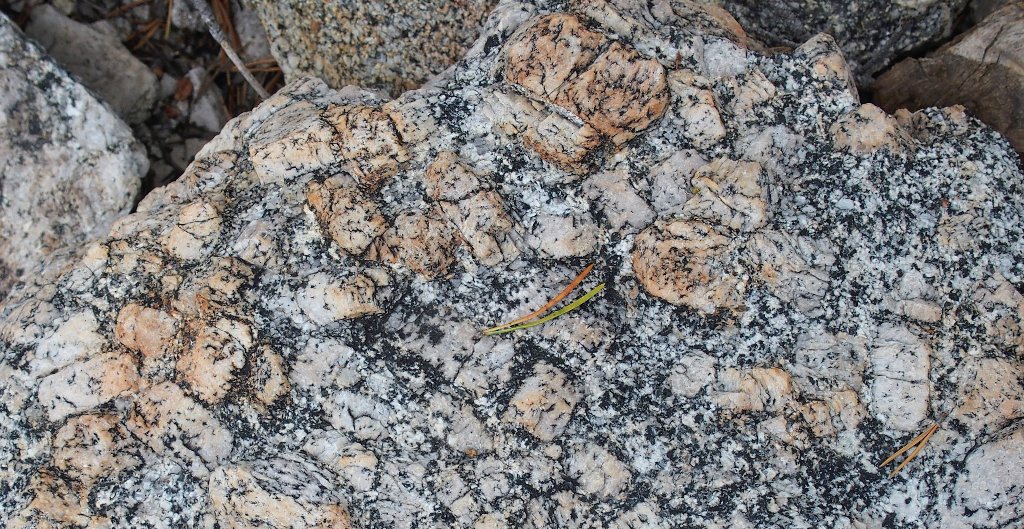
Nice rock
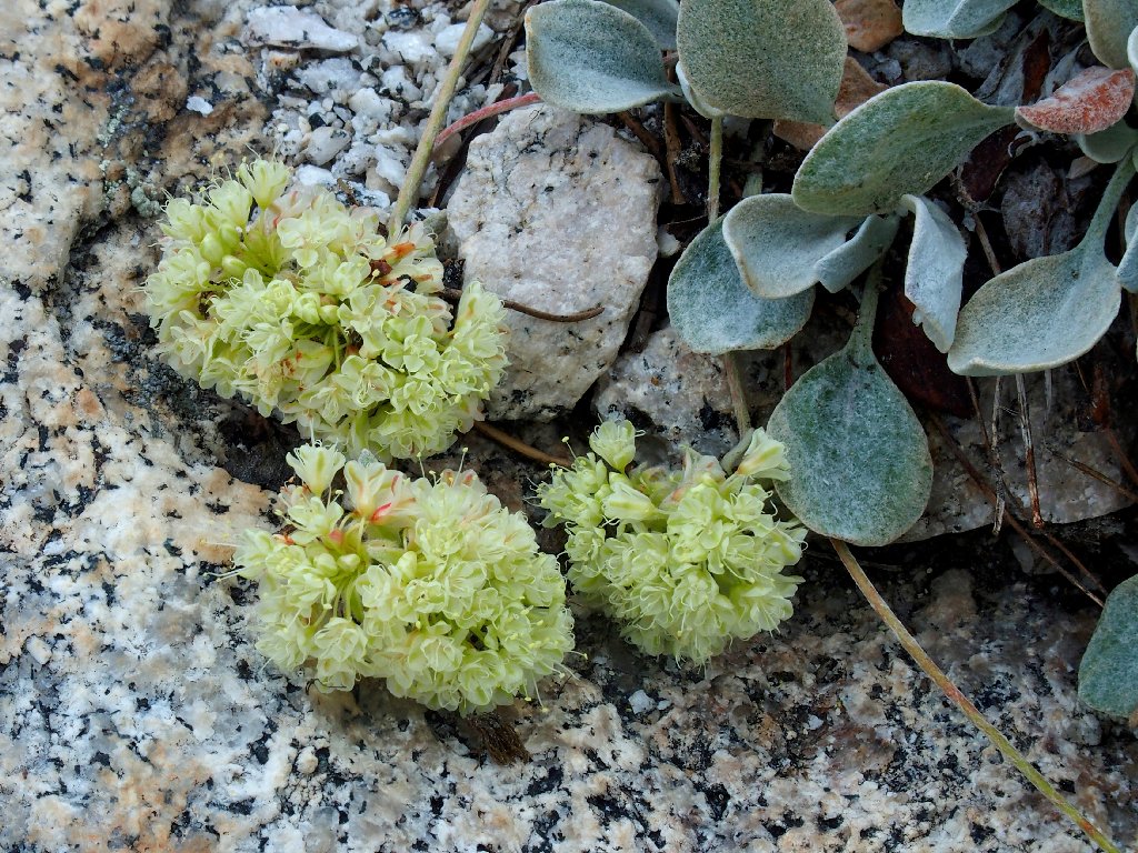
Frosted Buckwheat
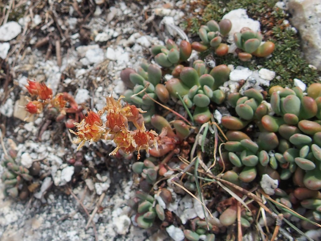
Sierra Stonecrop
Another guy likes the buckwheat as well:
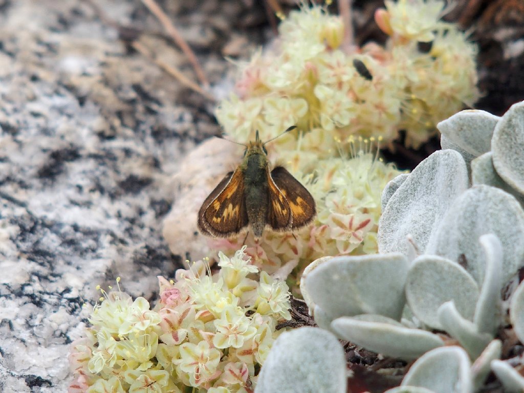
Woodland Skipper
Back at the cutoff to the shortcut
That's Unicorn Peak back there
Because my fears of a downpour have proved groundless, there is plenty of time to relax and enjoy this meadow.
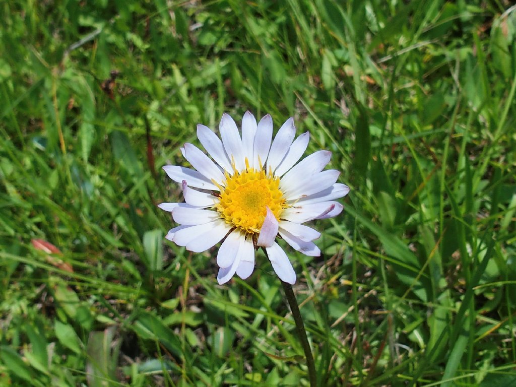
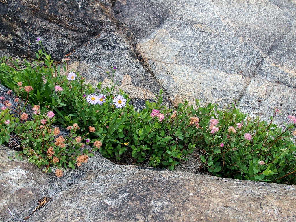
Sierra Daisy
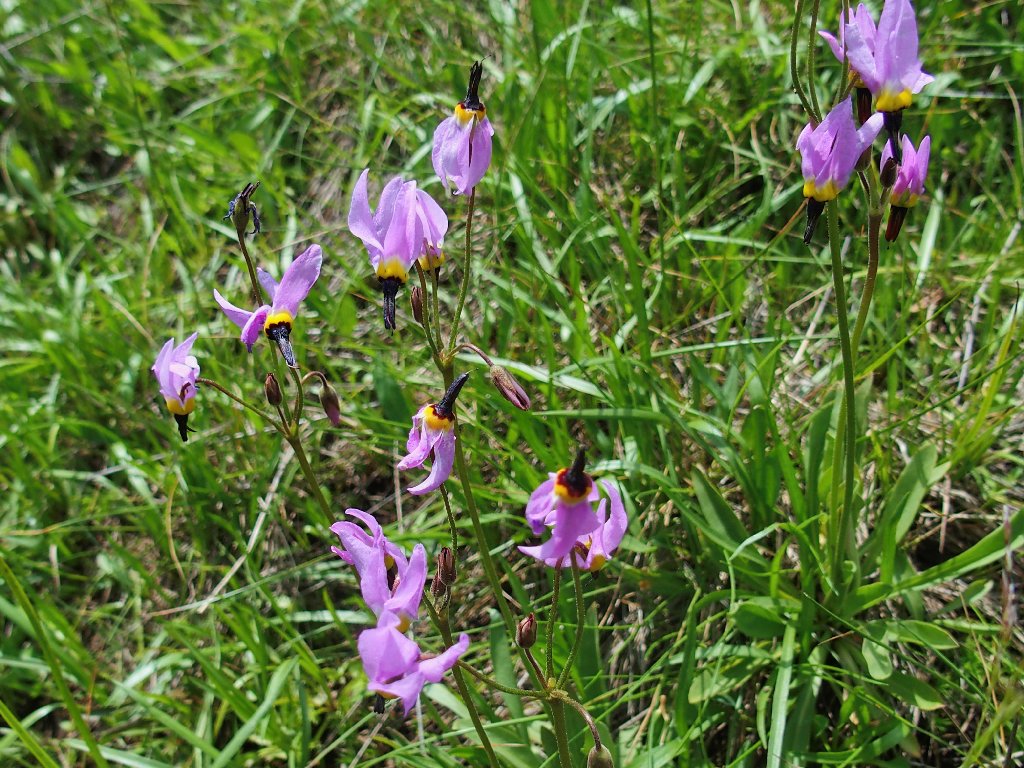
Sierra Shooting Star
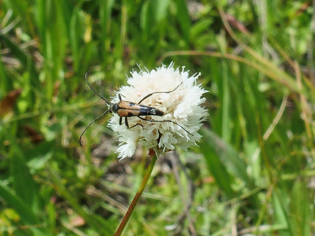
Longhorned Beetle on Alpine Bistort
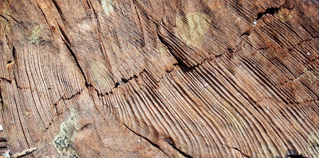
Textures
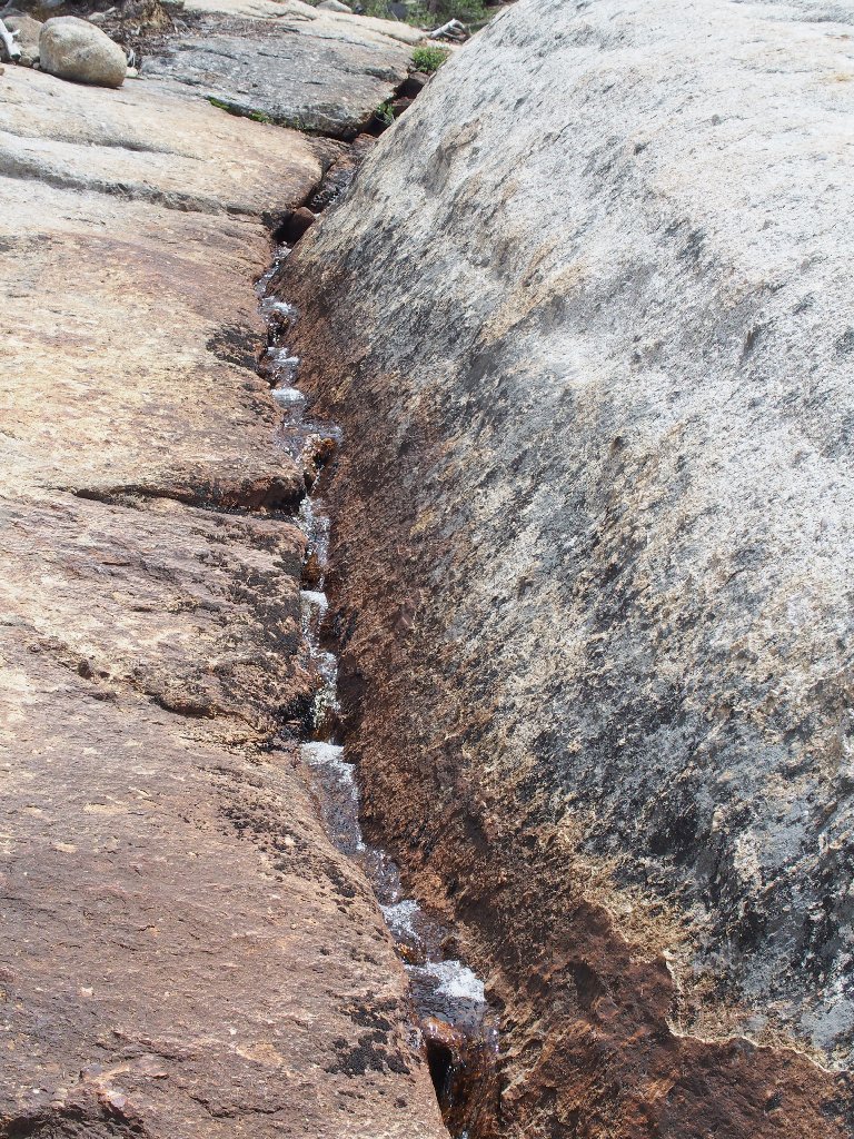
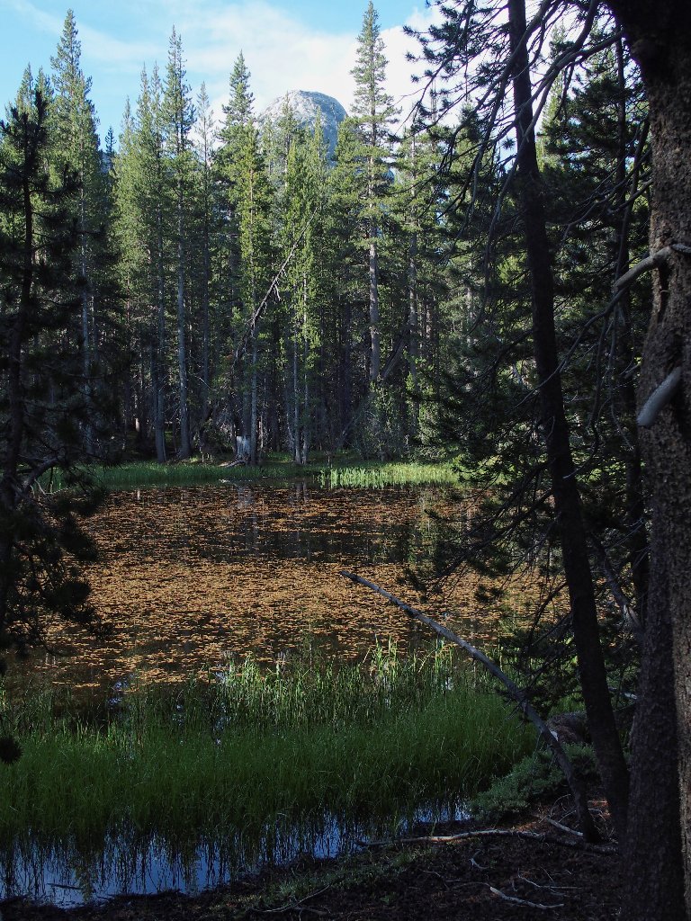
This could use some more water
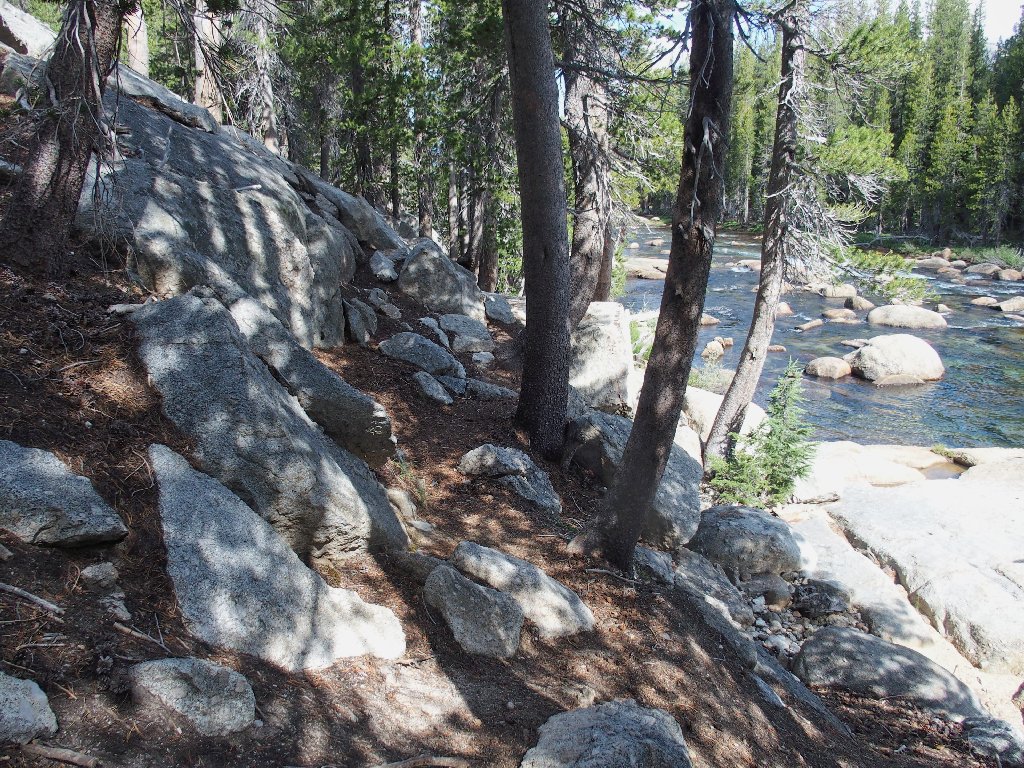
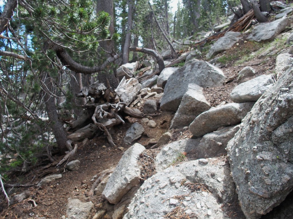
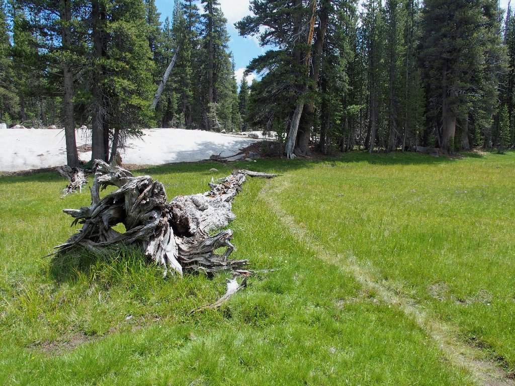
Back in the boulders
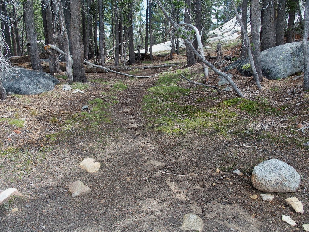
Here I lose track of the trail again, and it was so long ago that I cannot recall the route accurately. My GPS points the way to the car, though; so I strike out in the direction of the little arrow, up the hill.
Blazing a trail
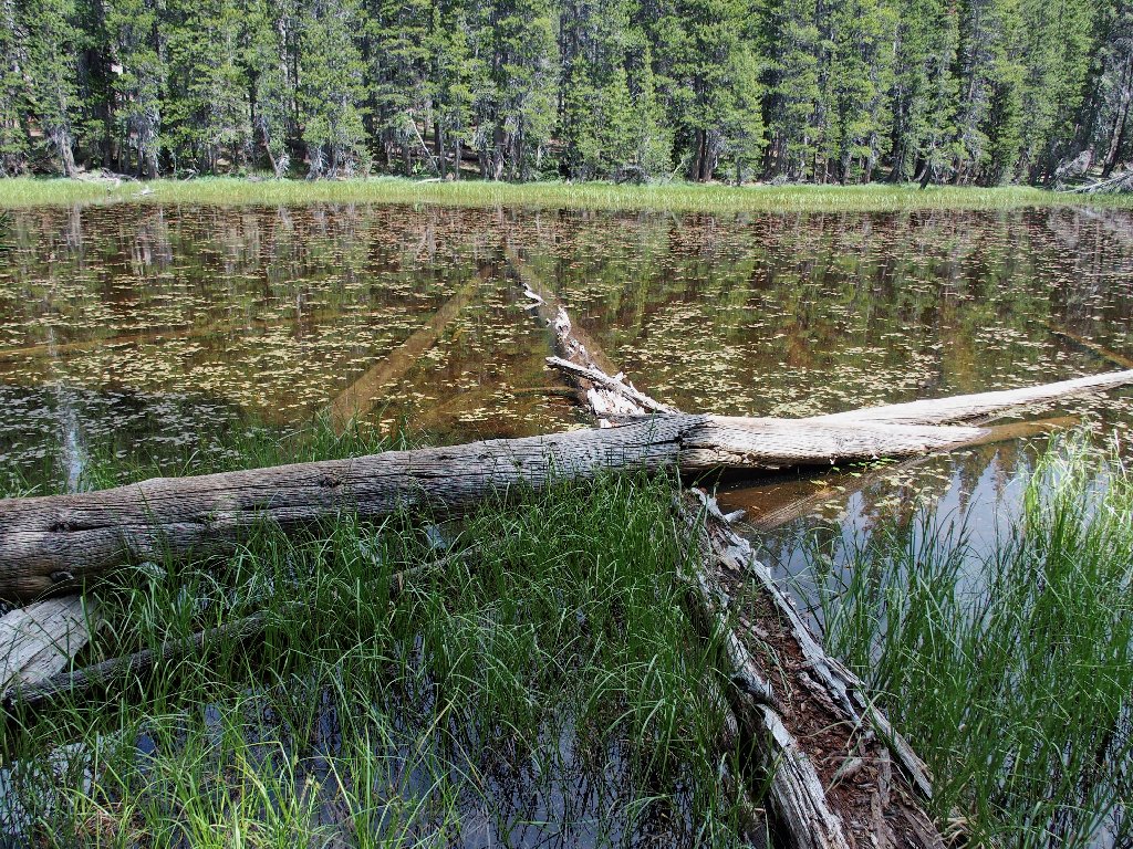
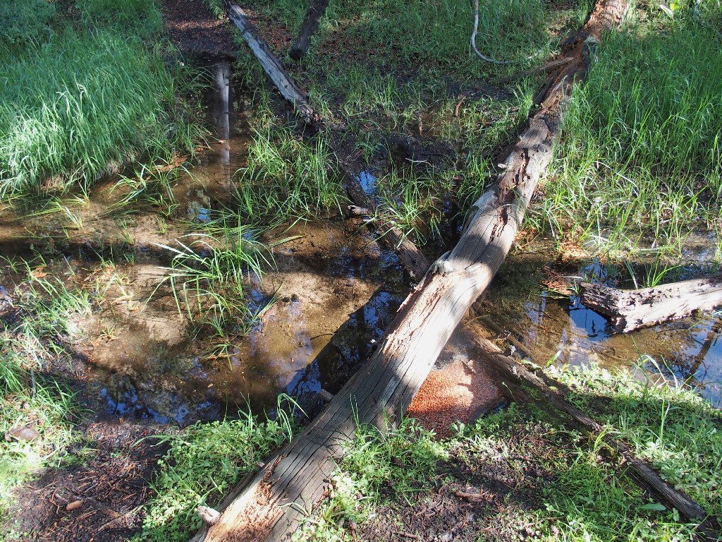
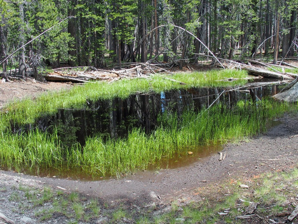
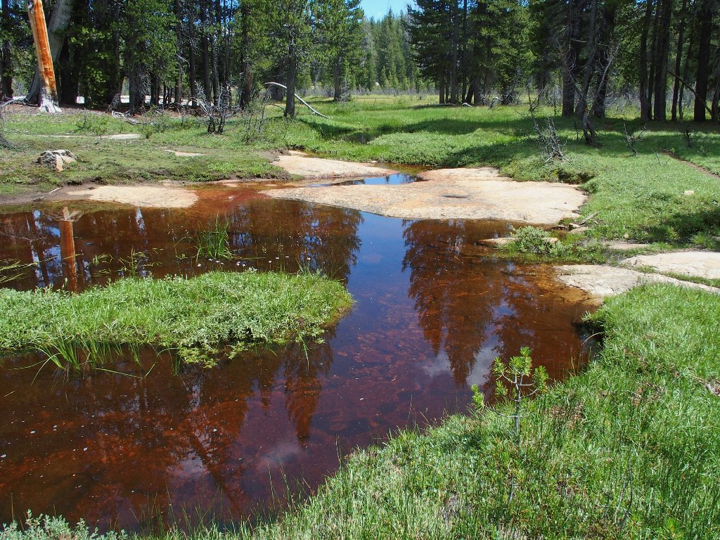
I am on the 'wrong' side of this pond
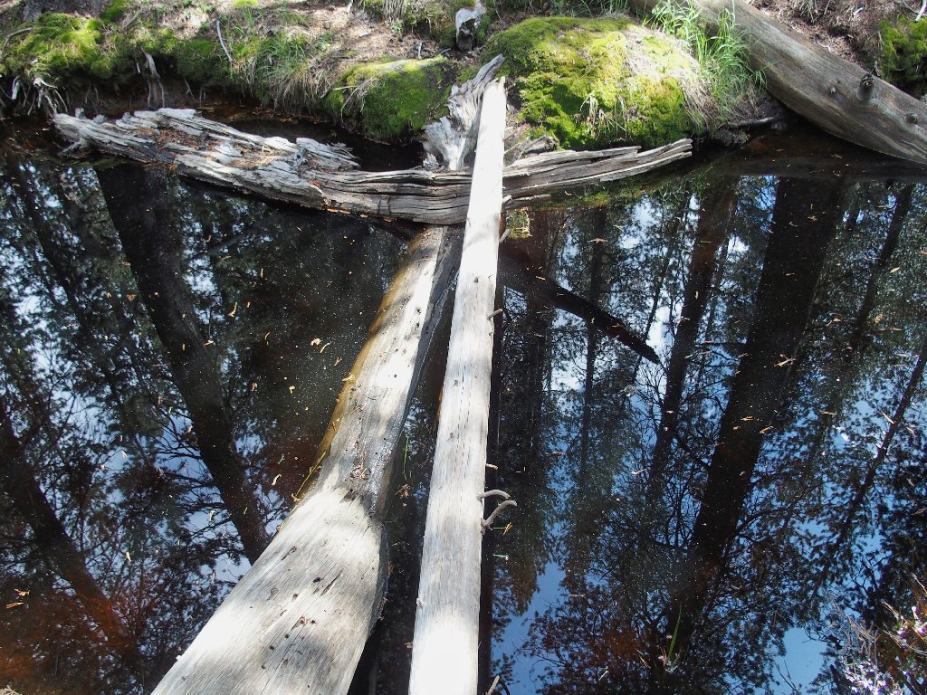
No good. The logs both move around.
Hunting for something better, I find it, ultimately ending up on the highway about a thousand feet west of my starting point; but that's okay. Apparently, the use trail traversed the flat for a while just past the boulder garden. Now I remember!
§: Well, visiting the Tuolumne River always is wonderful, or course;
yet I didn't enjoy the lower end of the trail nearly as much as before, due to anxiety
over the weather and the distance. I really should try for another two-night
stay at Glen Aulin High-Sierra Camp next August, and do it up properly one
more time.
The shortcut route, however, worked out great. Four miles actually are saved over the PCT option from the Dog Lake Trailhead; and some different stuff is encountered as well, such as the nifty boulder field. I recommend it.
| Scenery |  |
| Difficulty |  |
| Personality |  |
| Adventure |  |
| Flowers | |