
Tahoe National Forest
|
Dardanelles Lake Loop Tahoe National Forest |
July 16, 2019
This will be the first local outing with hiking buddies Paul and Brenda from Carson City. Paul suggested a possible shuttle arrangement; and one does seem to be available by utilizing a trail that inexplicably never has been on my radar.
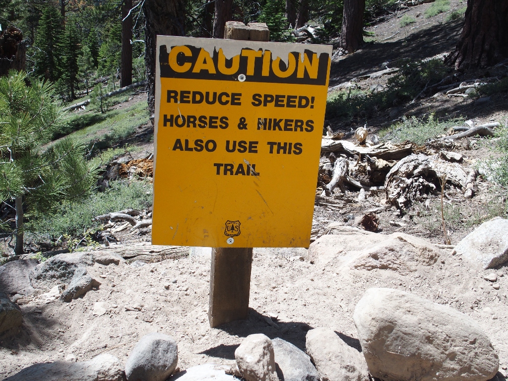
Leaving one car the the Big Meadow Trailhead, we drive the other car about two miles down a back road to the start of what turns out to be a popular bike trail, replete with its own informative signpost. One admonishment on the sign says, "No e-bikes. No pedal assist".
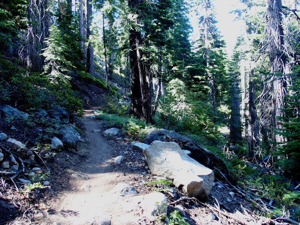
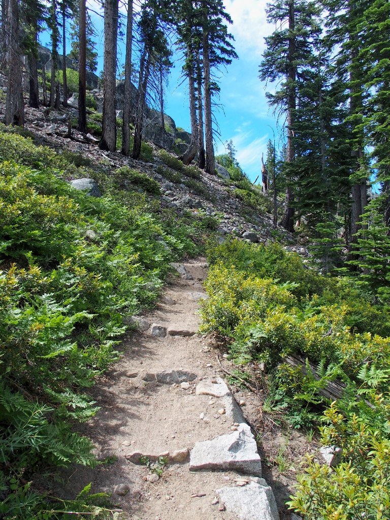
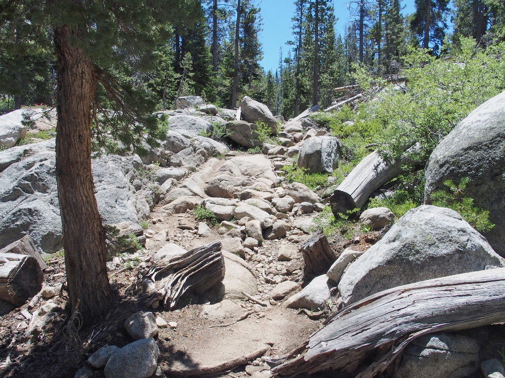
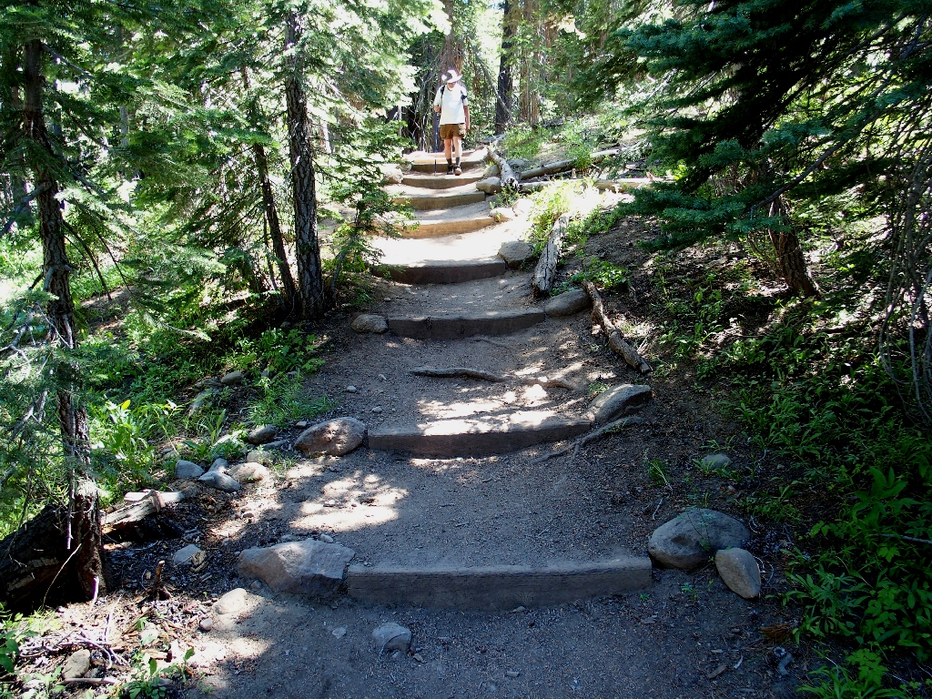
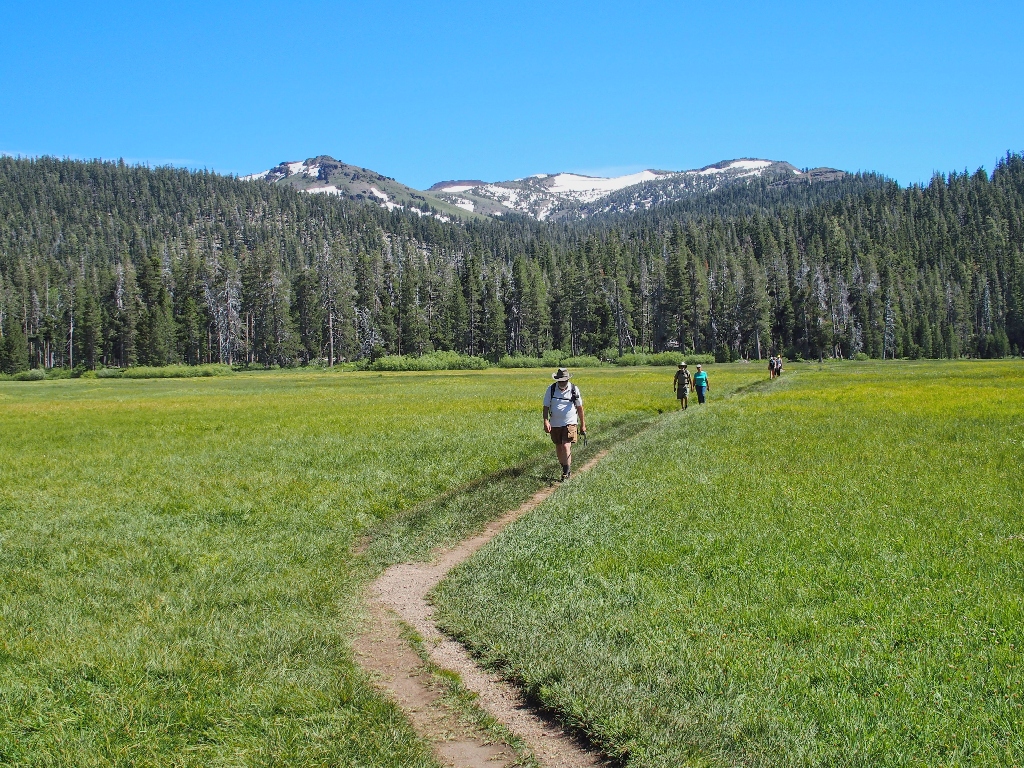
Starting up the Christmas Valley Trail
I had guessed that this route would be lesser-used these days, in light of the fact that all the same destinations can be accessed from the nearby Pacific Crest Trail. I could not have been more mistaken.
The trail is unexpectedly well-maintained
Doubtless the pedal-assist restriction exists simply to keep bikers from tearing up the path, which a powered bicycle certainly is capable of doing.
It's a beautiful day in the neighborhood
My last two visits to this general area both were in October, and I enjoyed all the aspen trees. Although there won't be any fall color today, that is being compensated by a plethora of wildflowers.
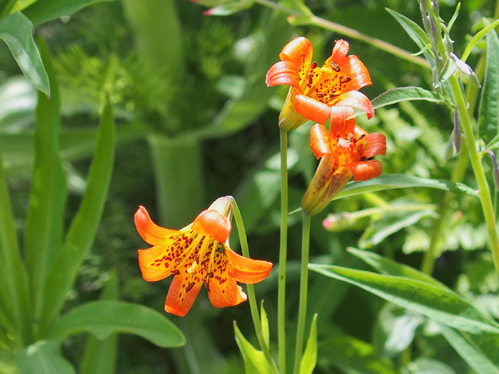
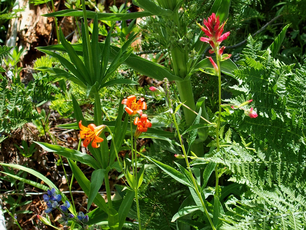
Alpine Lily
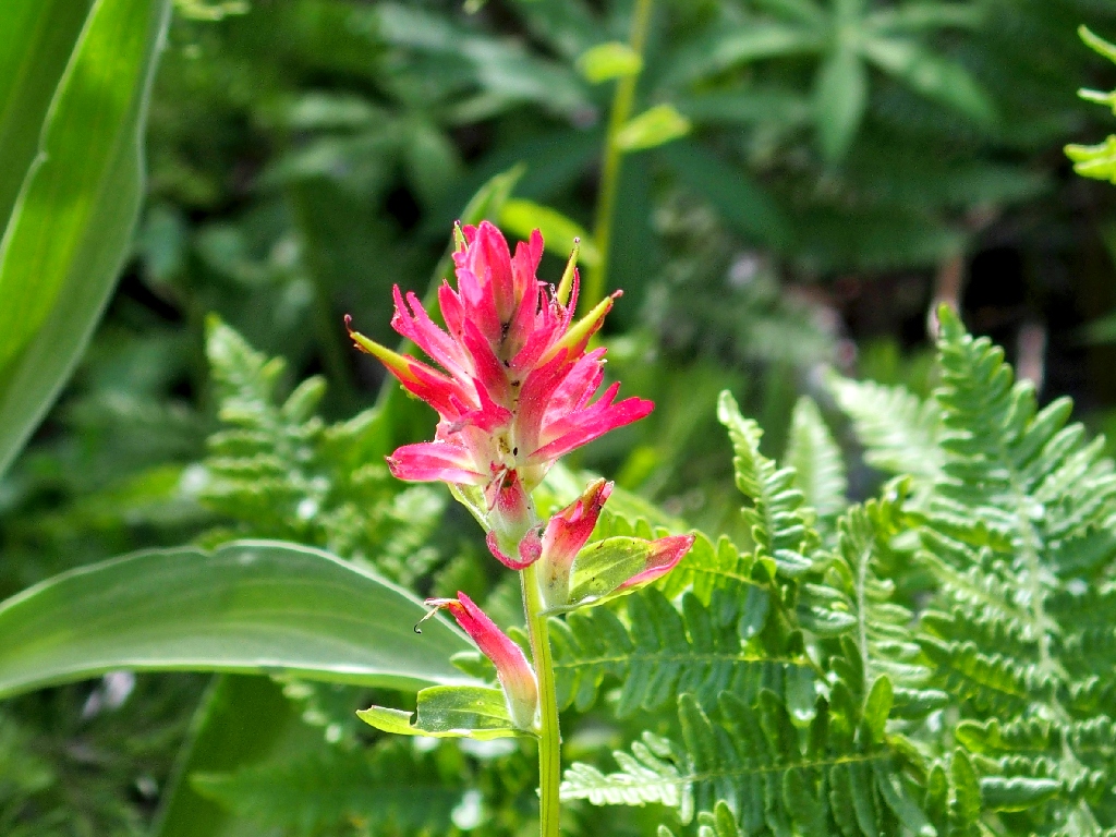
Woolly Indian Paintbrush
Putting those two together with some lupine begets this mini-garden:
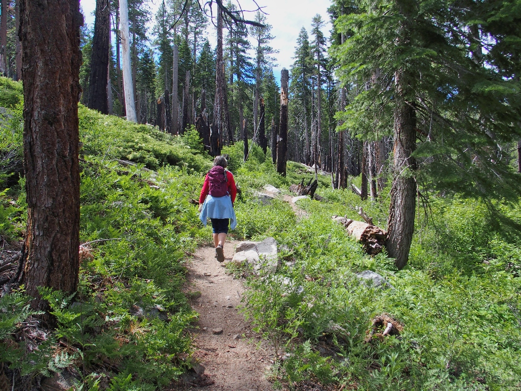
Paul is making sure that I don't fall behind
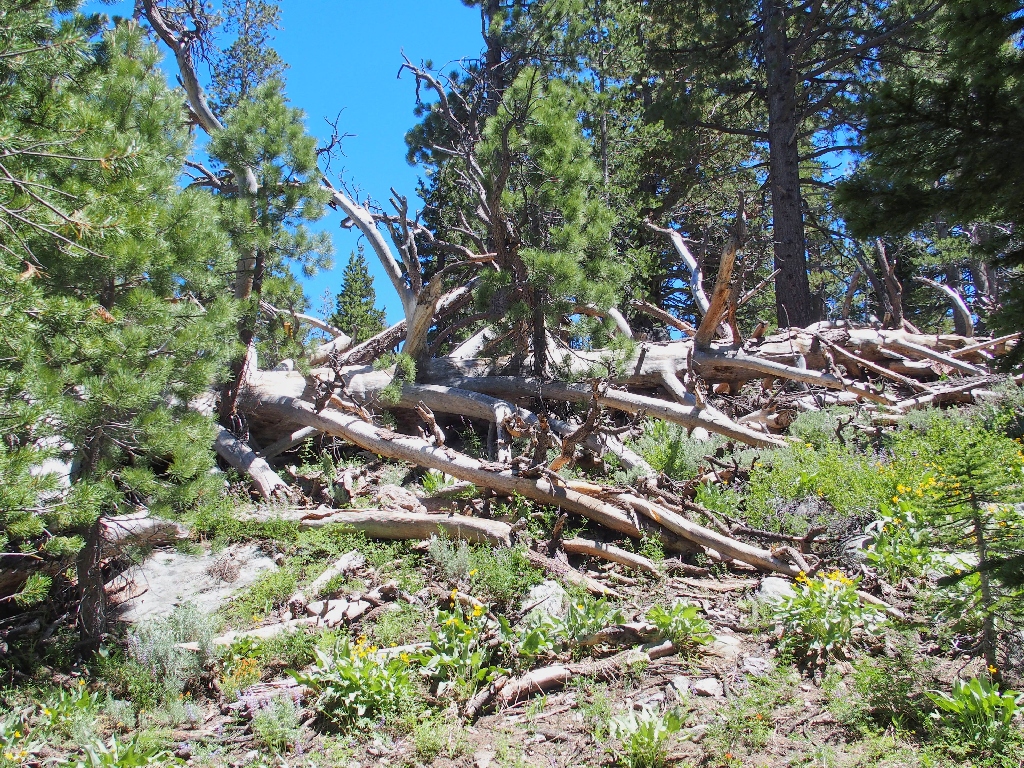
In August of 2002 a plane crashed at nearby Elbert Lake, causing a fire that wiped out this valley. Other local areas and trails were unaffected.
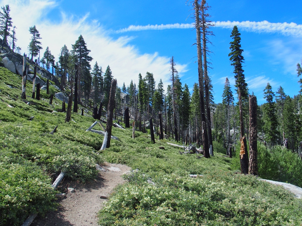
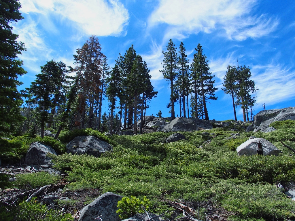
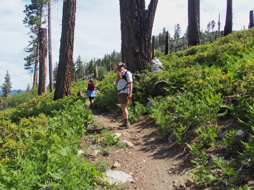
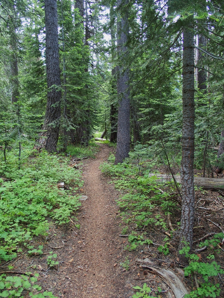
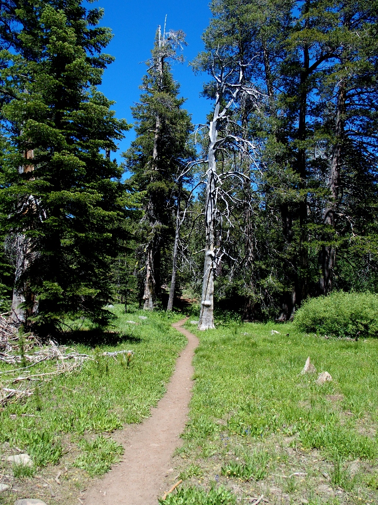
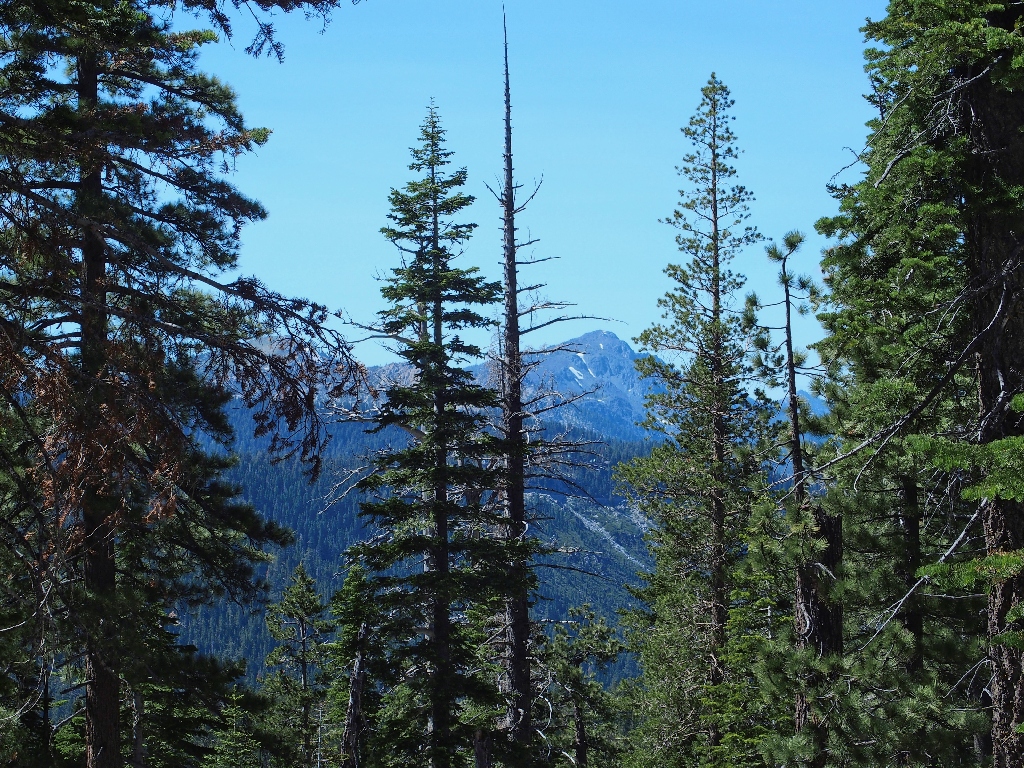
The forest is sparse, but the travel is pleasant
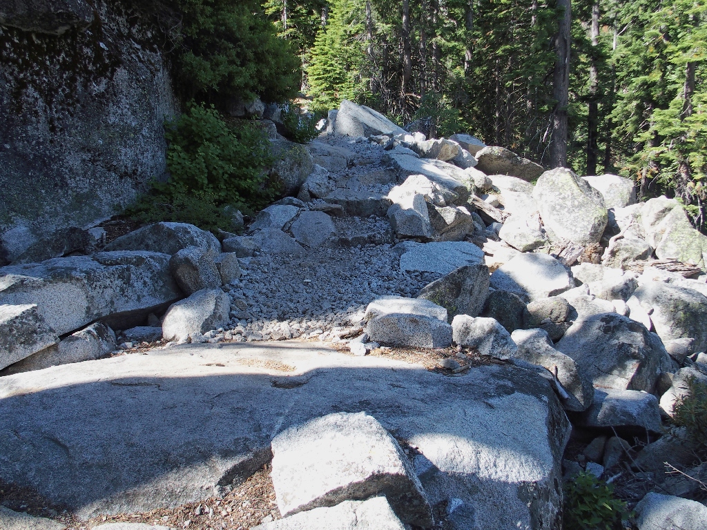
Clearly strengthened for vehicle use
The gradient always is mild
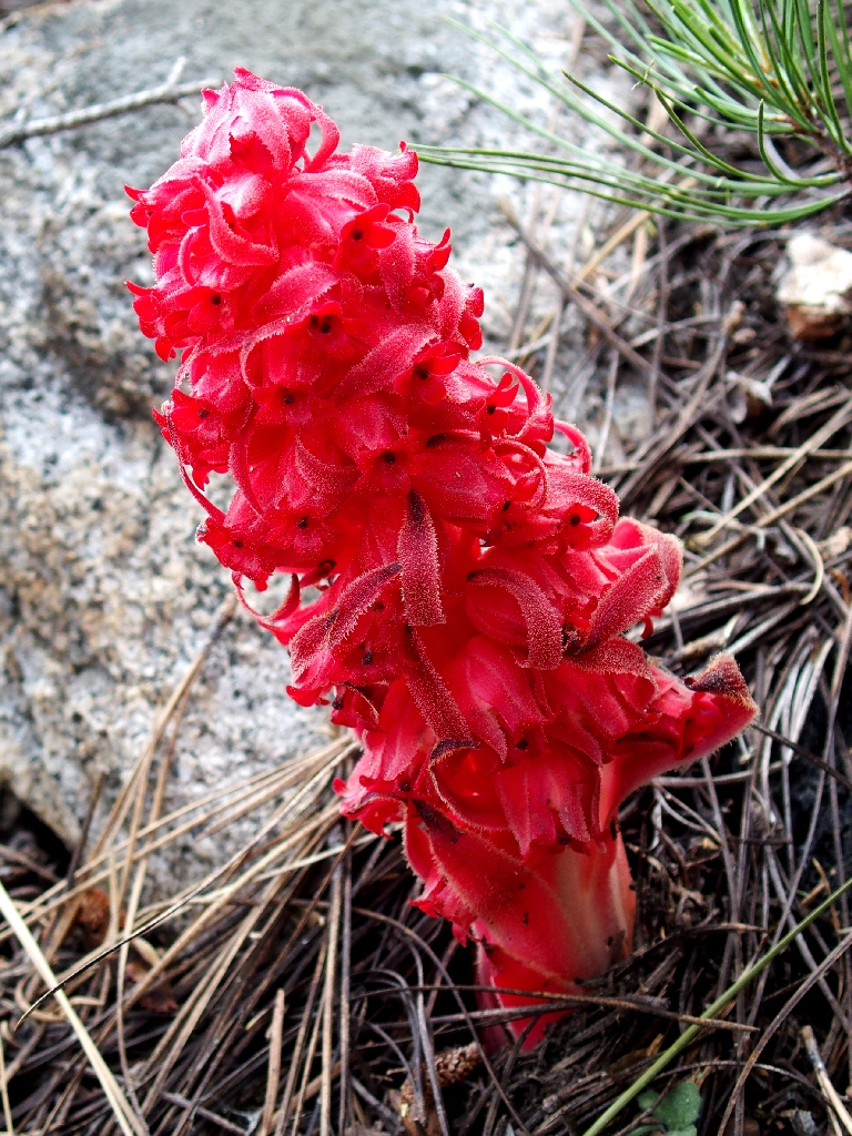
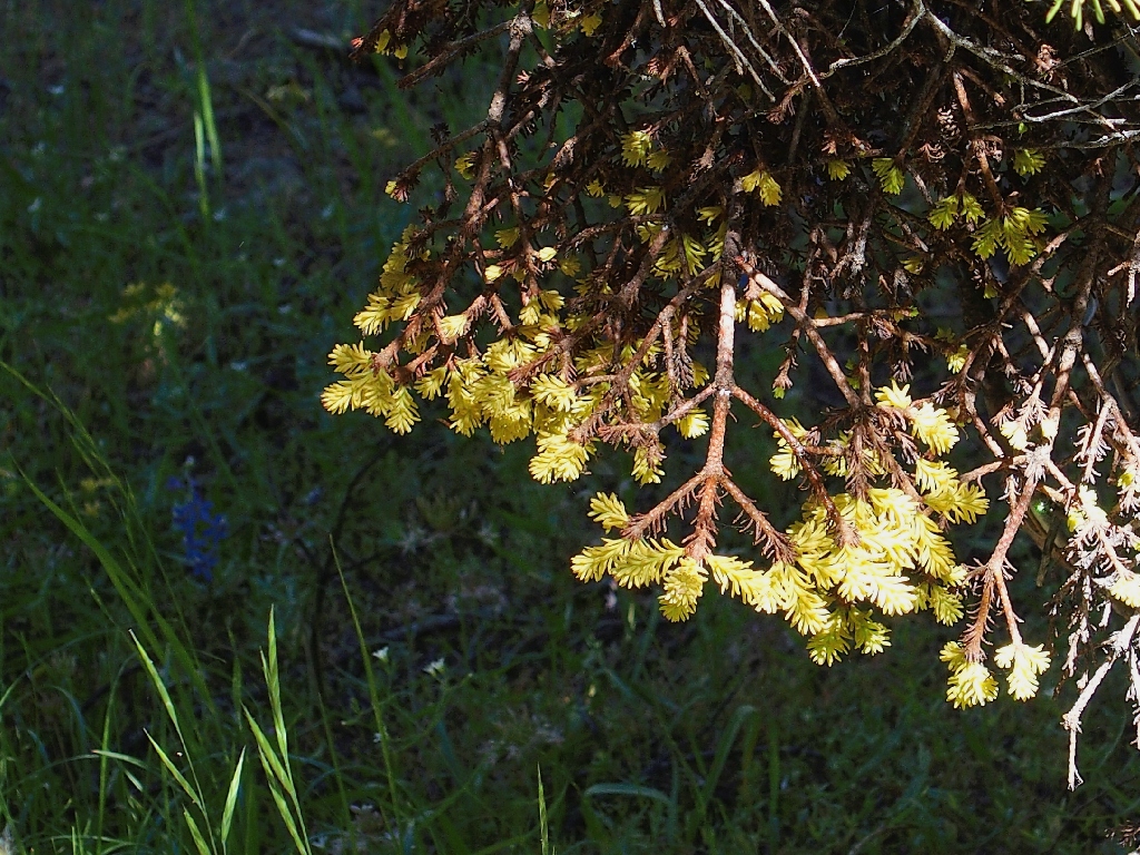
Snow Plant
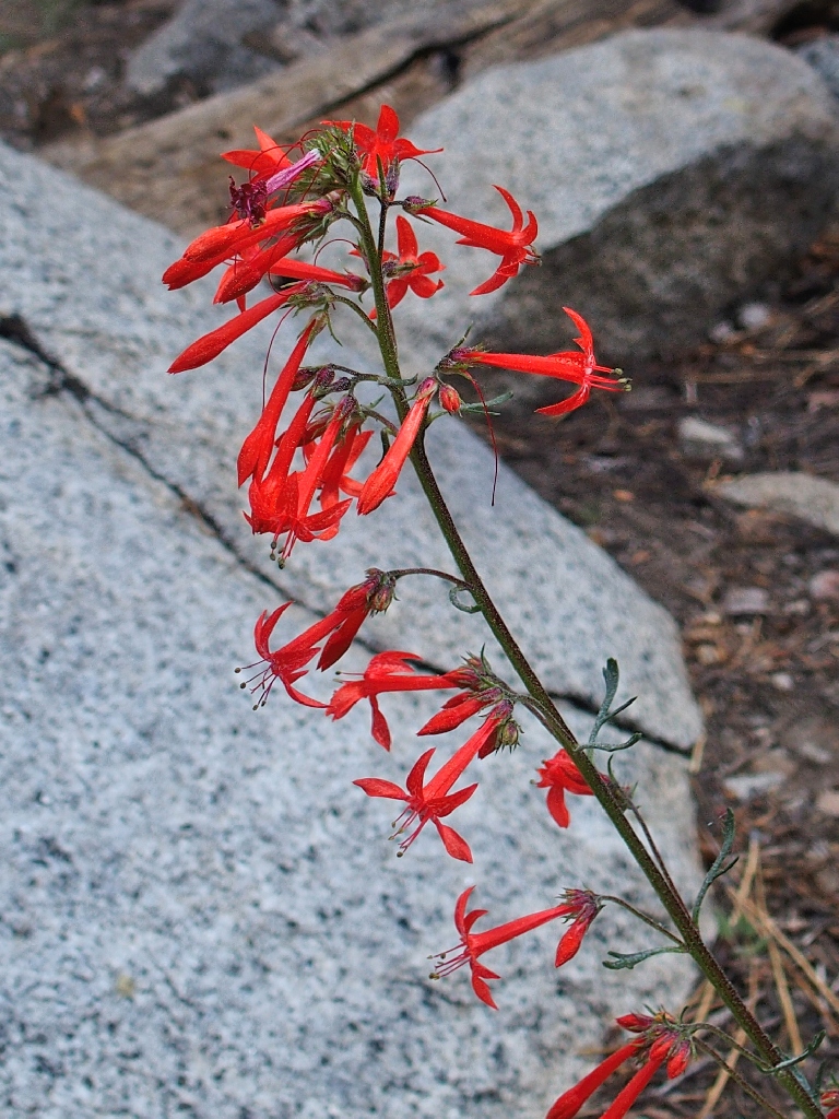
Skyrockets
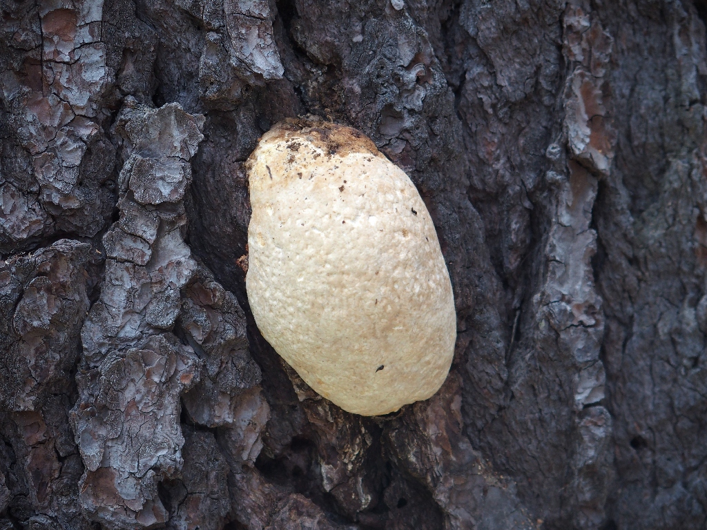
Paul and I spot a ponderosa pine with a couple of bright orange blotches.
Our first reaction is to assume that they were paint-marks, but closer
inspection and the placement of the spots suggest otherwise.
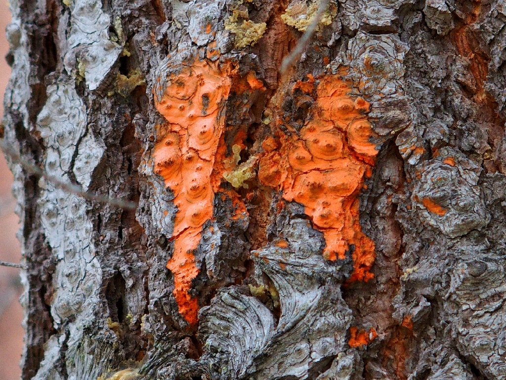
Tooth Crust Fungi on a Ponderosa Pine
We're out of the burned area now
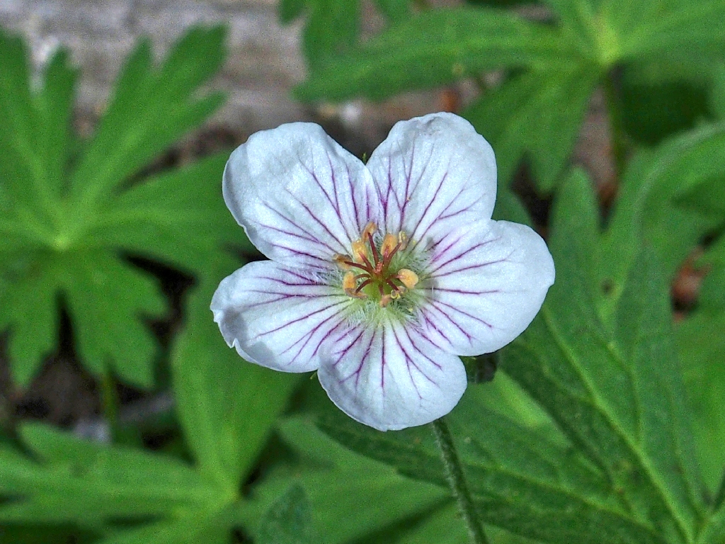
Richardson's Geranium
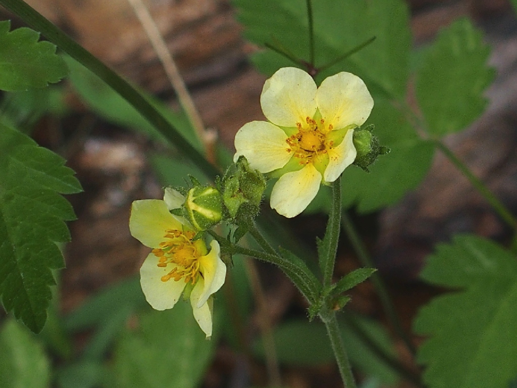
Sticky Cinquefoil
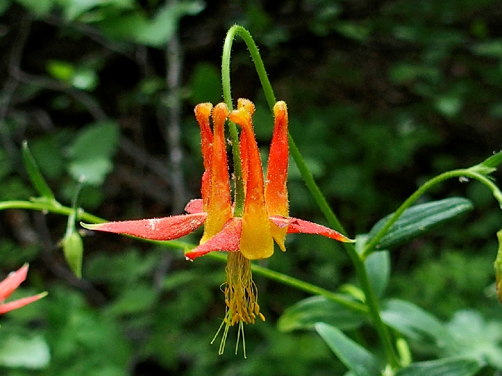
Crimson Columbine
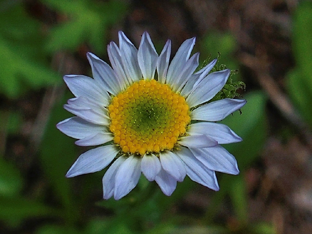
Wandering Daisy
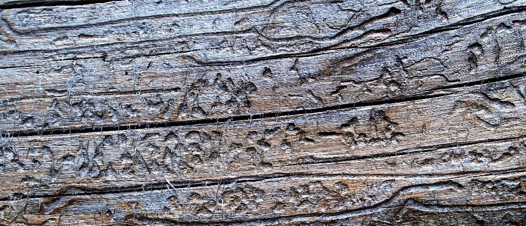
Textures
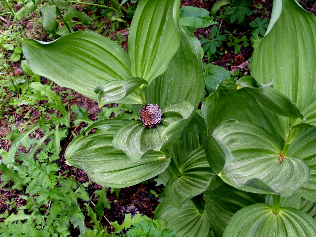
Corn Lily
A type of Hymenochaeta fungus
Everyone is interested in identifying an unusual little plant at our feet, for I cannot recall having seen one previously.
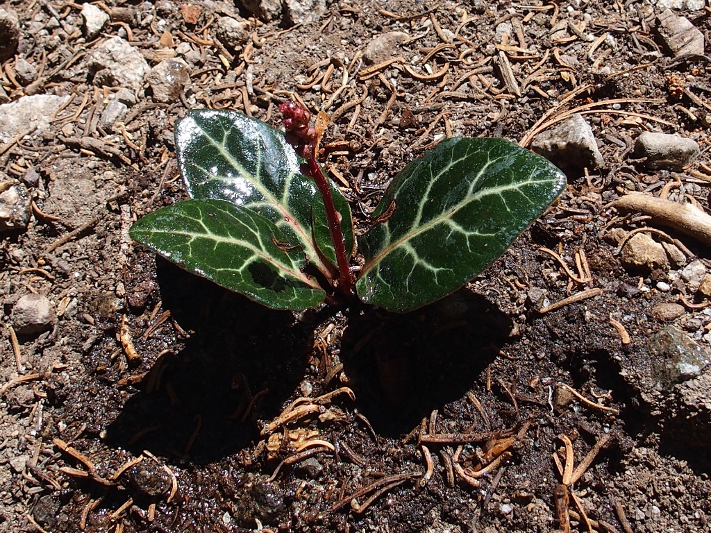
White-Veined Wintergreen
After what the map says is 2.8 miles but which surely was more, Brenda, Paul
and I reach a long-anticipated trail junction. Turning right,
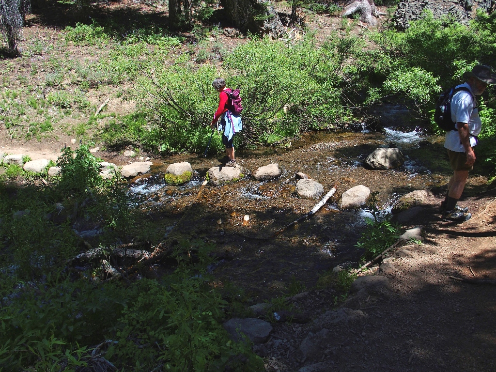
we must immediately ford a creek that seemingly has neither a name nor a source.
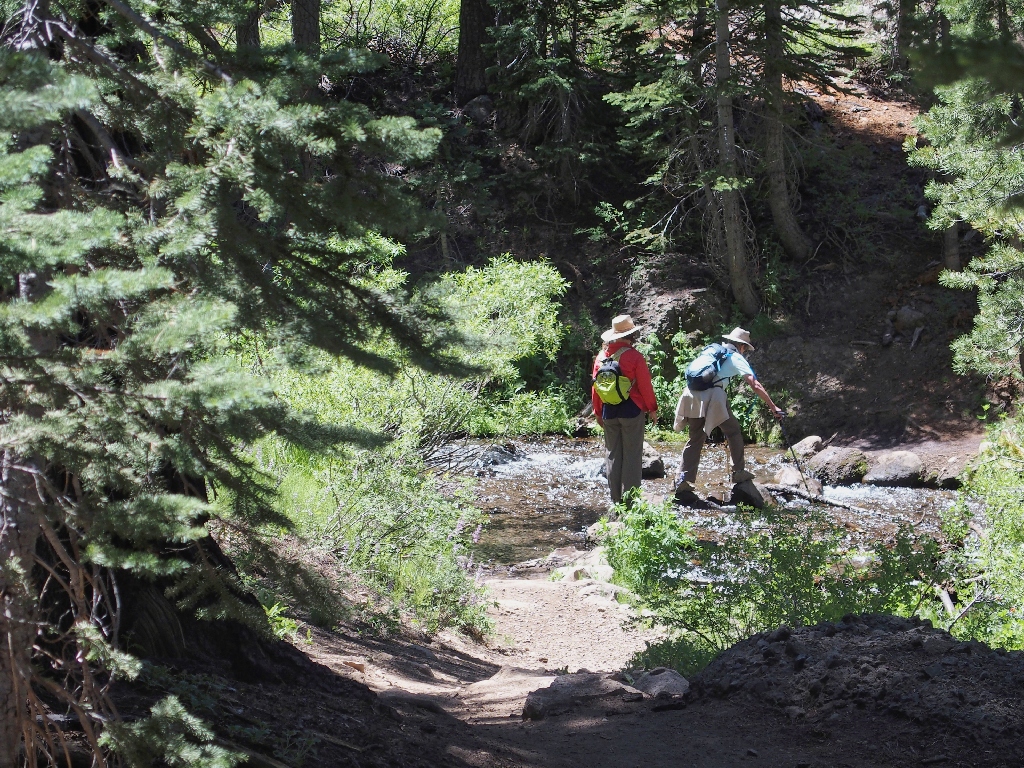
This one must be spring-fed
Within just a couple of minutes, there is another crossing; this stream drains the nearby Round Lake. A row of wonderful boulders has been placed such that one doesn't have to get wet feet. Of course, there is no requirement to take advantage of them.
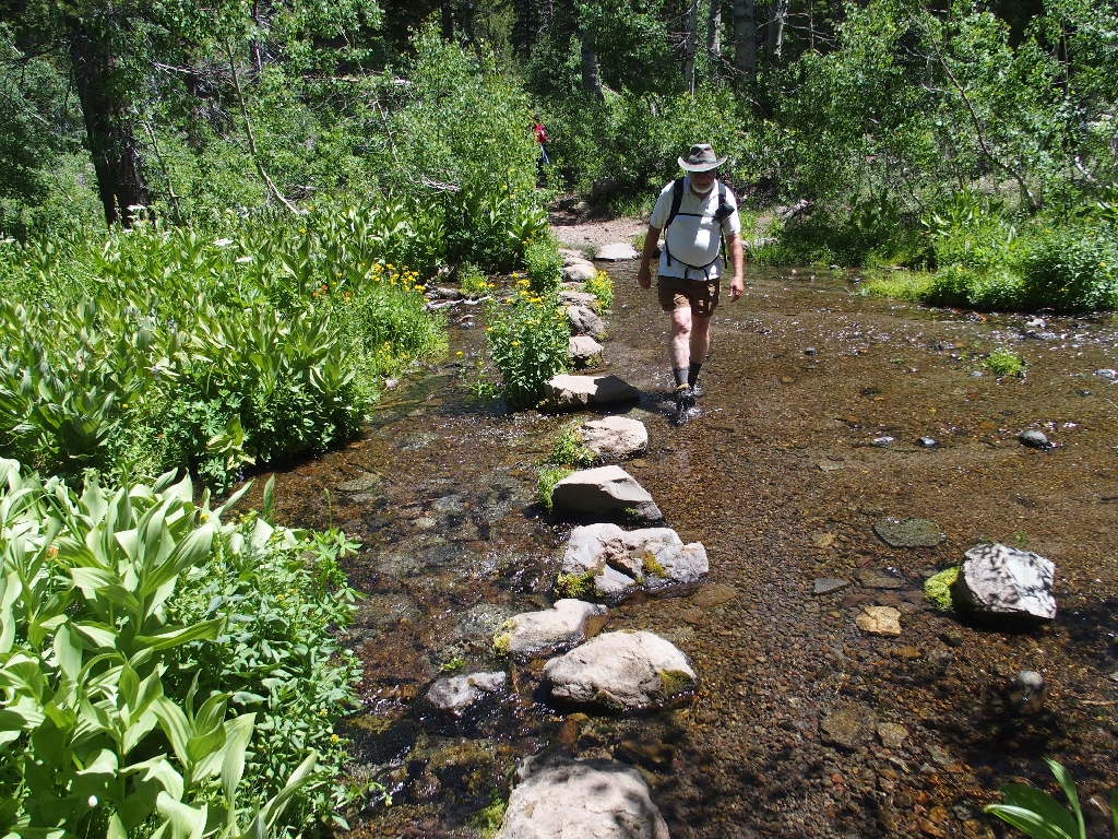
Paul sloshes through the water
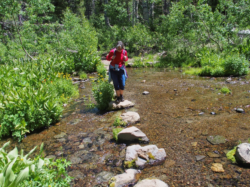
Brenda remains dry
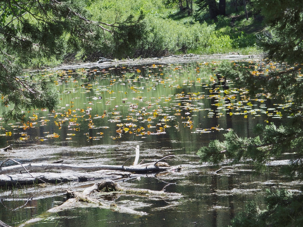
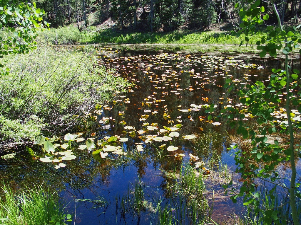
Water lilies on an ephemeral pond
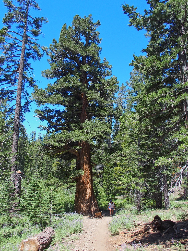
A splendid cedar tree graces the path
This one was King of the Forest in its day
The trail becomes a bit rougher and necessitates a bit more climbing.
It can't be far now
Just over the hump is our destination.

Dardanelles Lake
Granite-lined lakes invariably are beautiful. Finding a good spot, the three of us settle in for some lunch. The shoreline waters are plenty warm enough for swimming, and some others are doing just that.
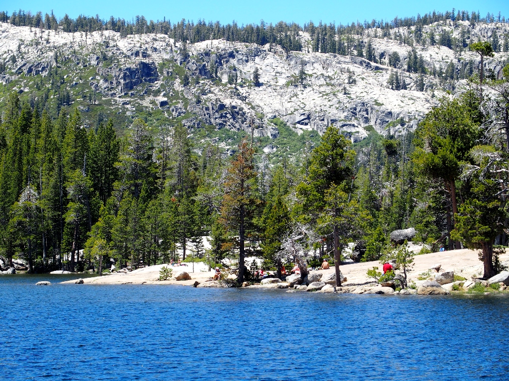
Many others are enjoying this place
The last time I was here, I walked all around the lake; but it looks as if the
current water-level would make that impossible today — not that
any of us would be so inclined anyway. We have walked about five miles
already, with much more to go.
So long for now
Mule's Ears
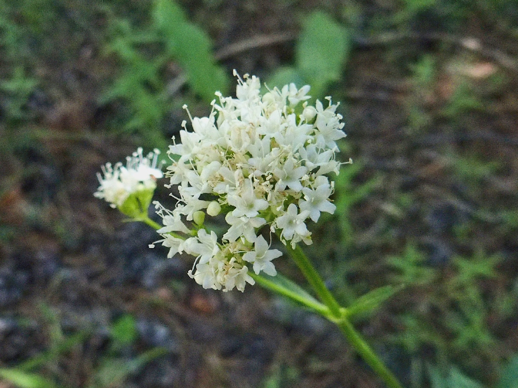
Valerian
Heading back
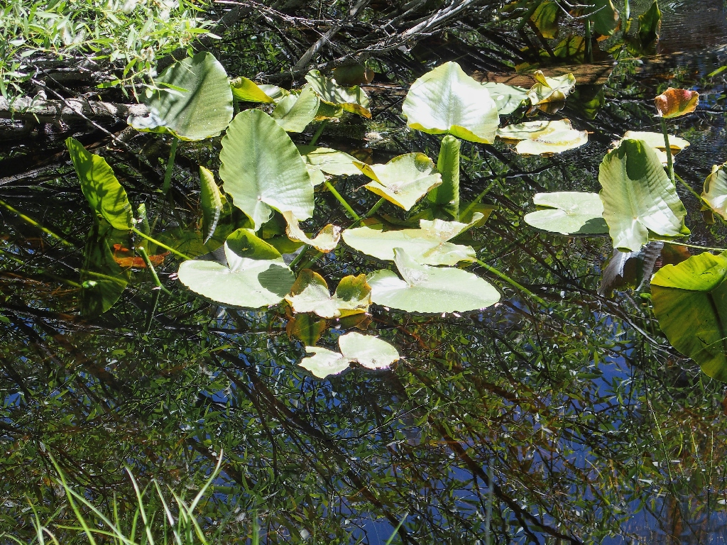
More lilies
It's the same story back Round Lake Creek:
Brenda remains dry
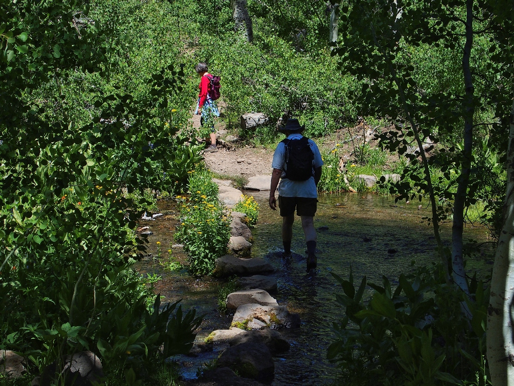
Paul sloshes through the water
Back at the junction with the Christmas Valley Trail, we veer right for a quarter
of a mile and connect with the Pacific Crest Trail. Immediately we begin the final
climb of the day — about 300 feet of switchbacks that replace the
original hikers-only route that I used on my second-ever backpack,
to Round Lake in 1974.
I am a bit confused here, because I was under the impression that bicycles were not
allowed on the Pacific Crest Trail. This section of route doubles as the Tahoe
Rim Trail, however, which is biker-friendly; so perhaps some sort of
dispensation is in effect. Such a provision does enable a complete loop for bikers,
and they even can avoid riding on Highway-89 itself.
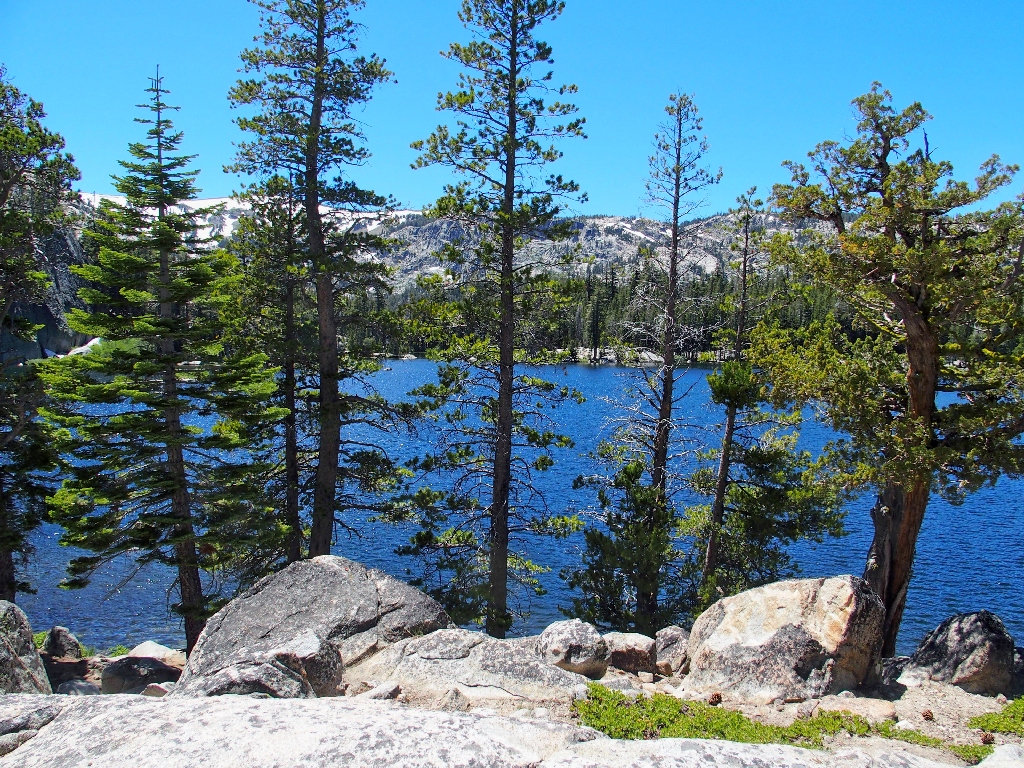
The area's actual dardanelles overlook Round Lake, a mile to the south
Brenda is wearing down, which is not particularly surprising in light of the fact that we actually have climbed nearly 2,000 feet today. I reassure her, however, that it's all downhill from here.
Always a pleasure on the PCT — Tahoe Rim Trail
New growth
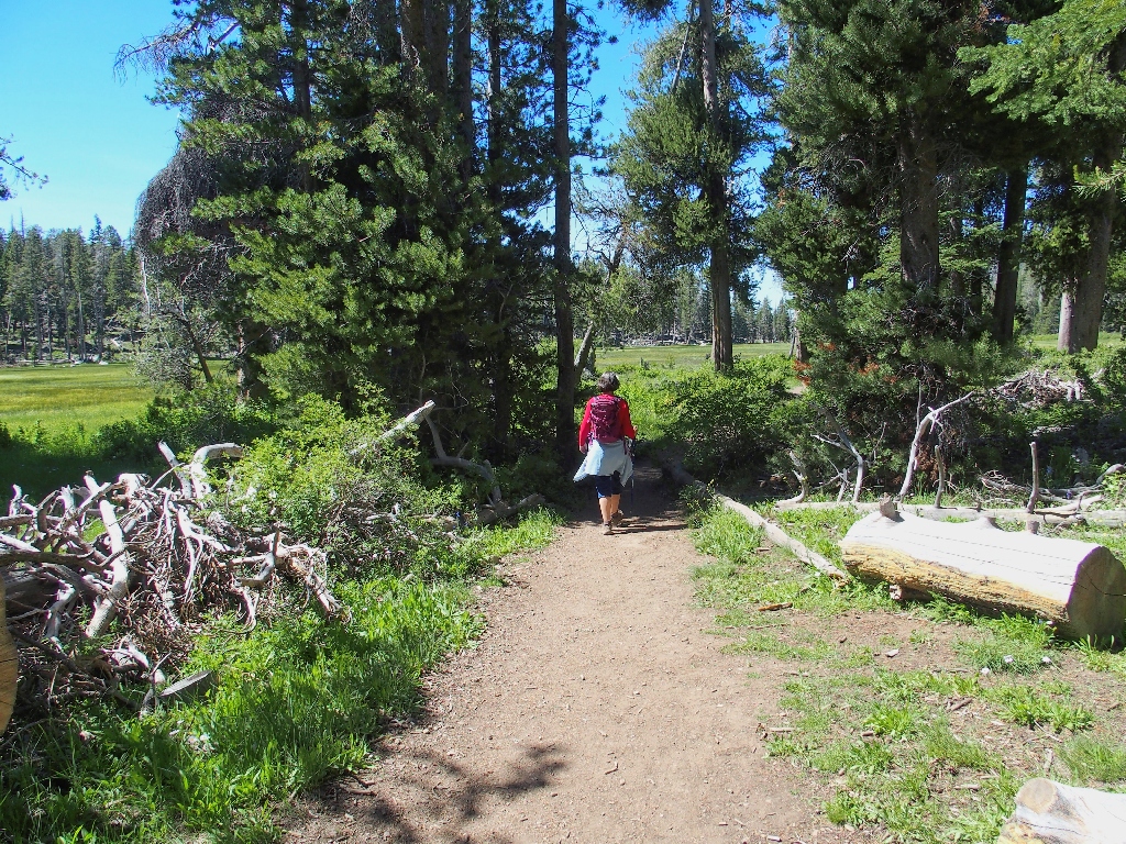
Approaching a clearing
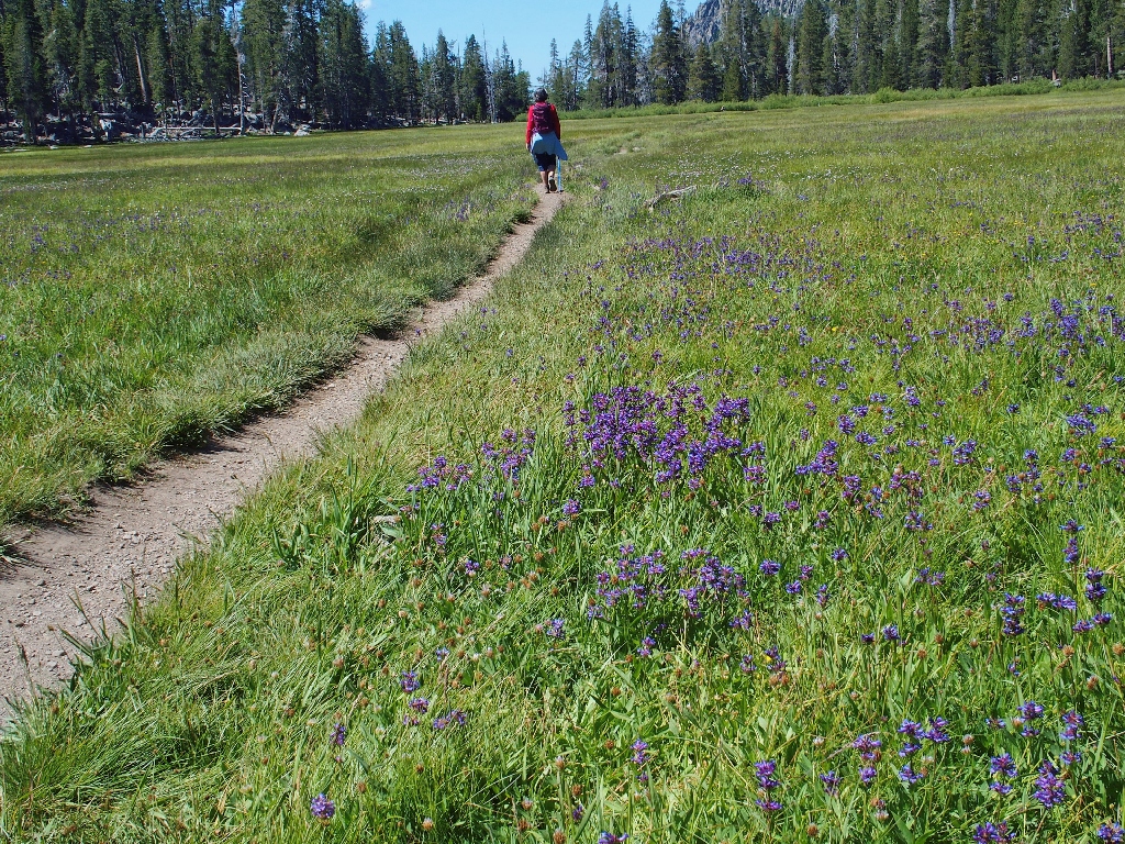
It's half a mile across Big Meadow
From here, it's a moderately steep downhill to the highway.
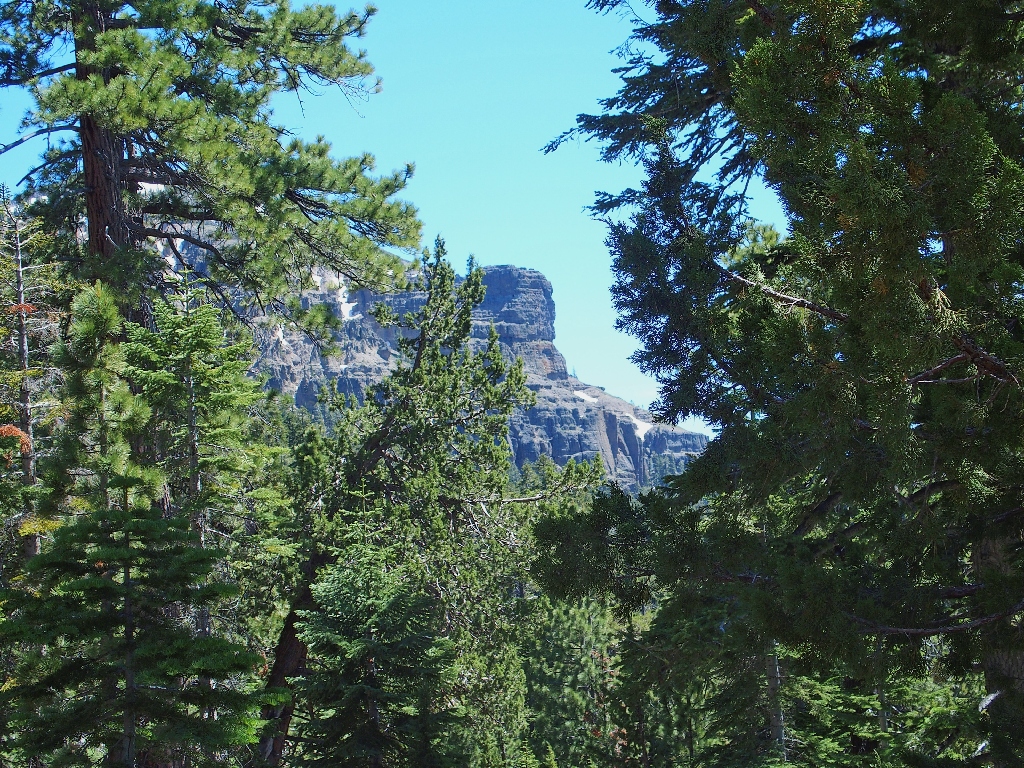
Mount Tallac in the distance
Before finishing up at the Big Meadow parking lot, I must revisit my favorite flowers. I never have seen so many snow plants on a single trail, and they have made my day.
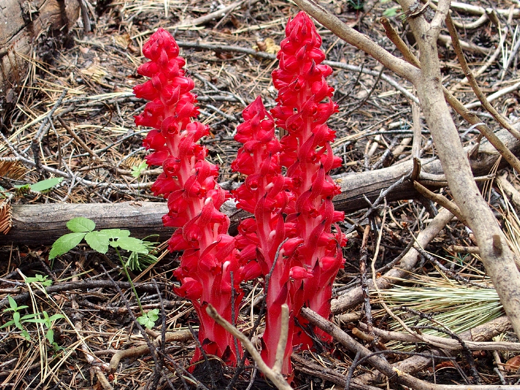
This is why I go hiking
§: Well, what this route lacked in scenic vistas, it made up for in
flowers and interesting trees. As mentioned previously, it also is a good
choice for an autumn outing. For reasons unclear, it took me sixty years of
hiking this region finally to get around to visiting Dardanelles Lake for the
first time.
Brenda later suggested that we seemed to have done the route in the easiest
direction, and coming down the PCT from the highpoint was indeed a cakewalk.
I haven't the heart to tell her, though, that our starting location was much lower
than the finish, and that doing the loop in reverse actually would have saved
800 feet of climbing.
| Scenery |  |
| Difficulty |  |
| Personality | |
| Flowers |  |
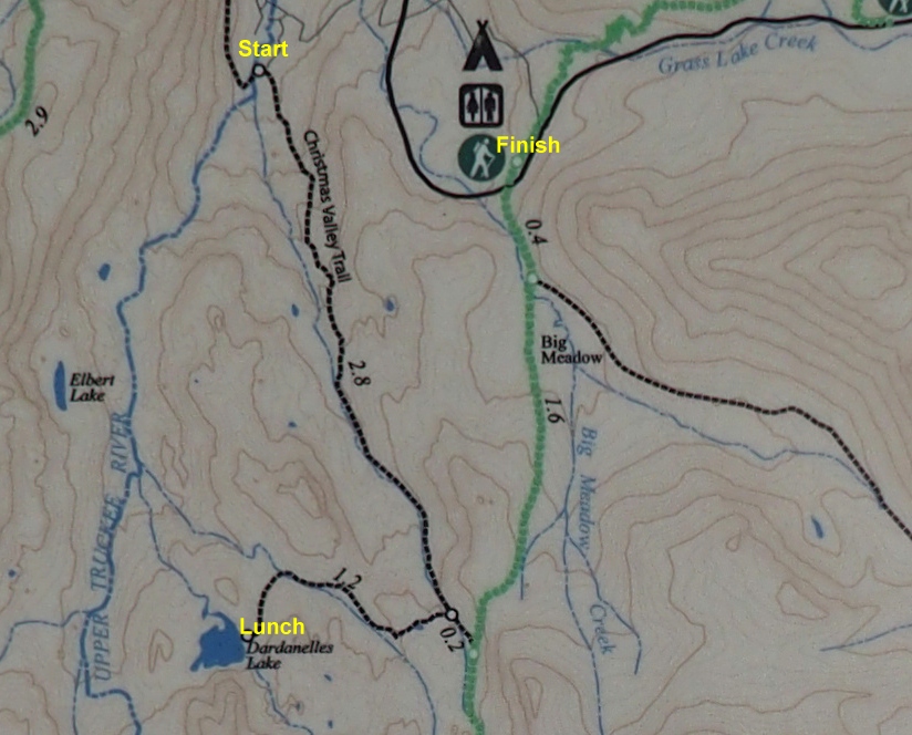
This is the map on the trailhead kiosk
That 2.8-mile number no longer is correct, because the trail has been lengthened to accommodate bicycles. Other web pages claim mileages between 3.3 and 4.8 for that section; CalTopo says it's 3.7 miles, so I'll go with that. (Of course, had I not forgotten to pack my GPS today, I wouldn't have had to guess.)
