
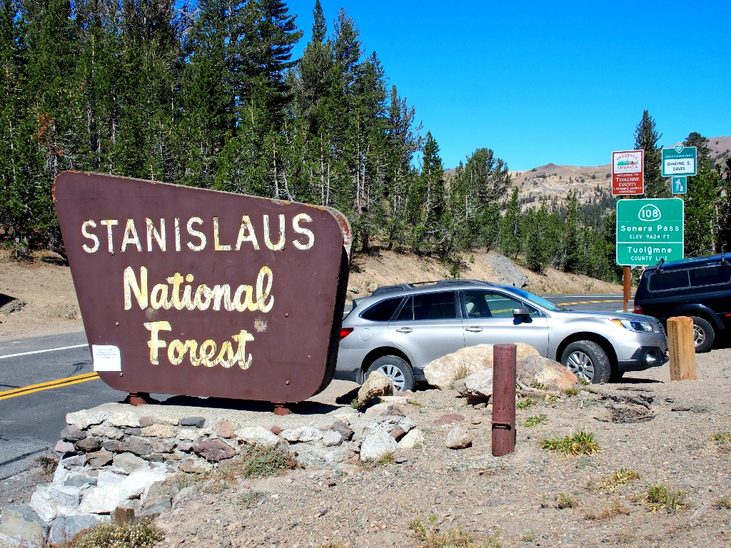
Emigrant Wilderness
|
Sonora Pass South on the PCT Emigrant Wilderness |
September 20, 2018
After three days farther south in the Eastern Sierra, I must find a new hike
on the way home. Something in the Sonora Pass area fills the bill, because
it is too far out of the way for desirable day-hiking from Sacramento.
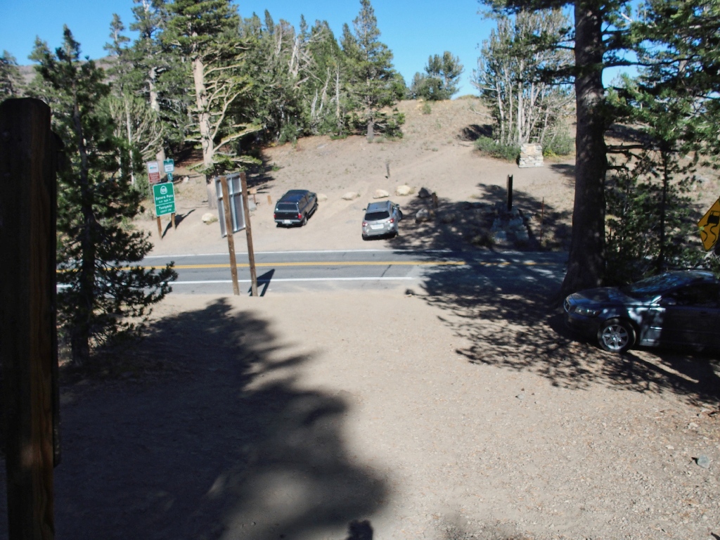
As I am getting ready, a hiker approaches and asks about the trail to St. Mary Pass, because he wants to climb Sonora Peak from there. I believe that the route is about a mile down the highway to the west, but I get out a map anyway and show him. Satisfied, he takes off. Then a foursome of backpackers crosses the road and heads southward just ahead of me.
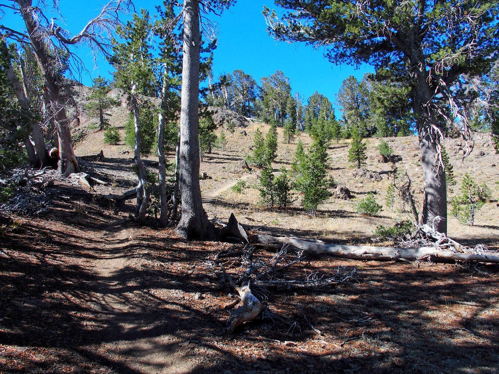
Getting started

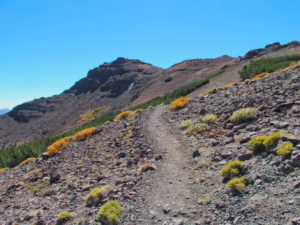
Nice colors
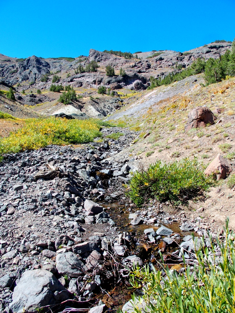
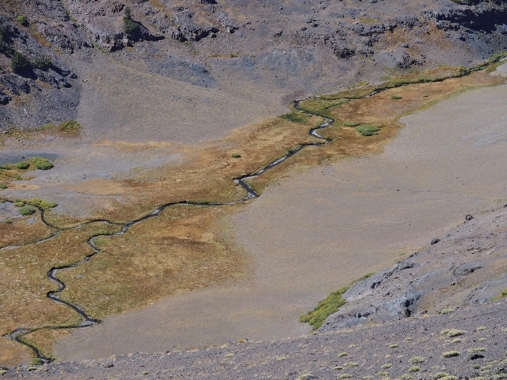
This creek barely exists
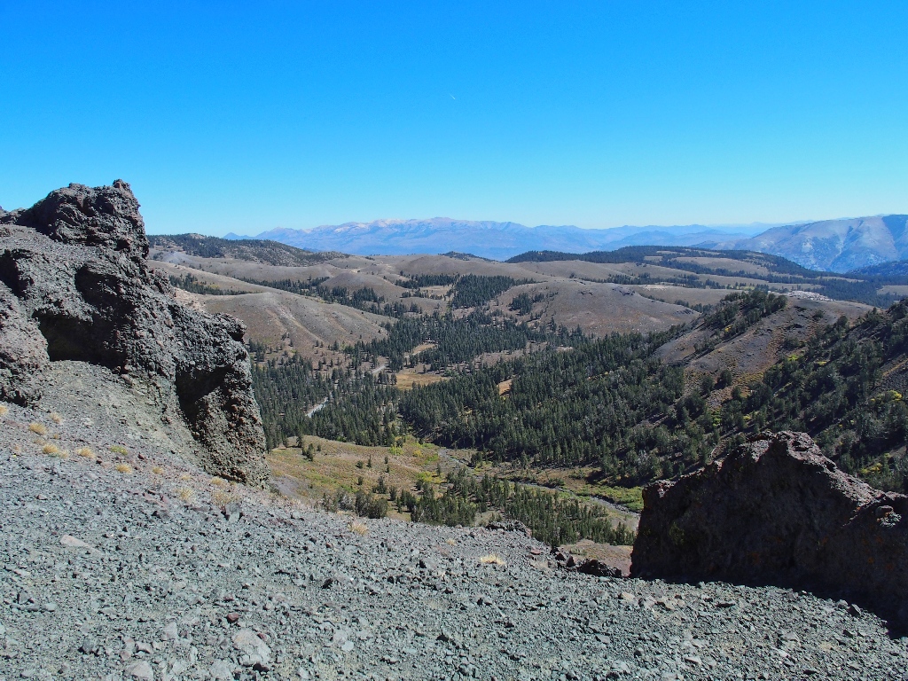
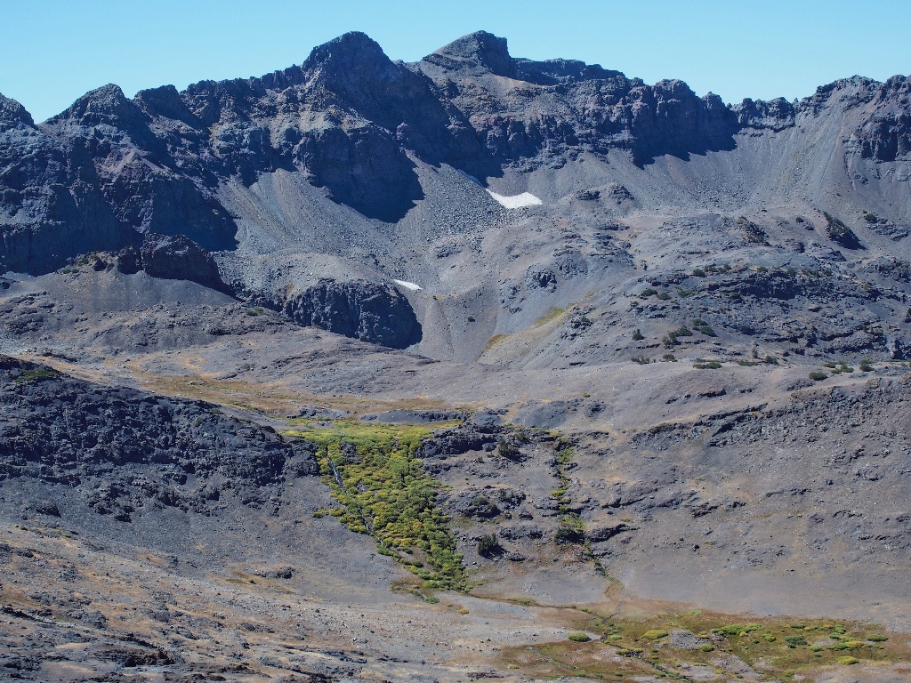
Sardine Meadow to the east
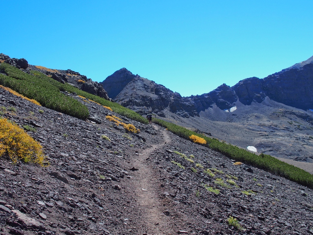
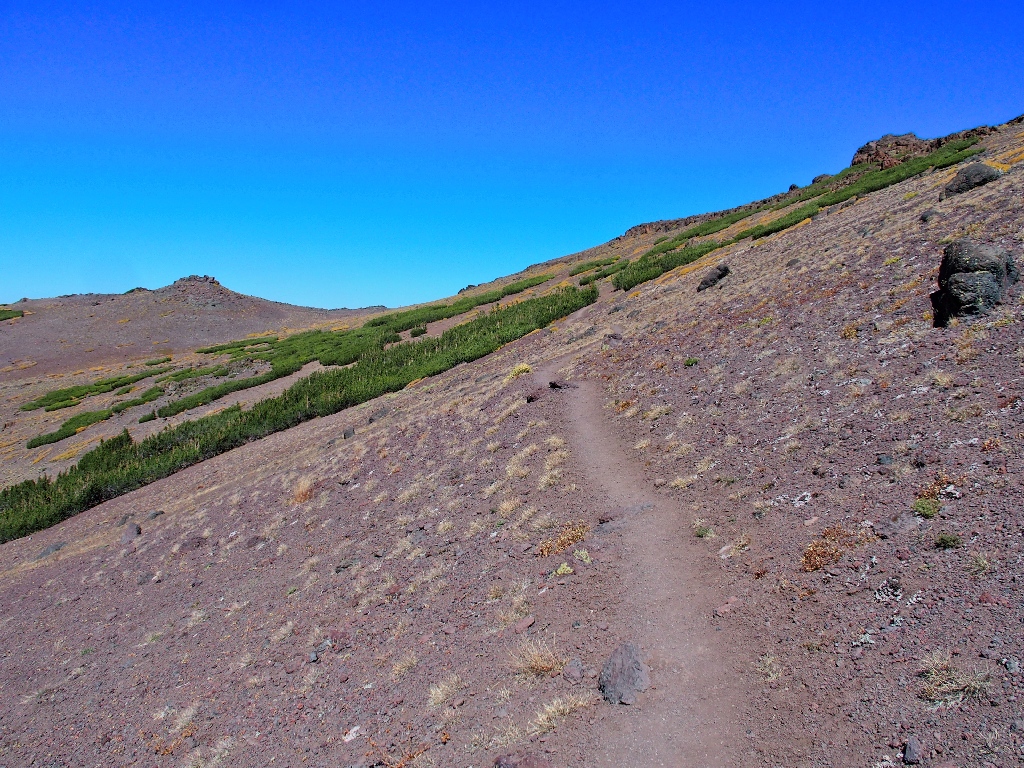
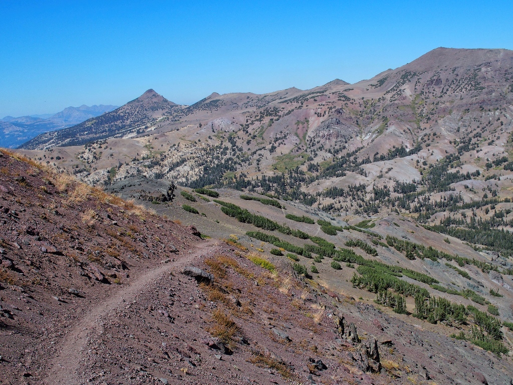
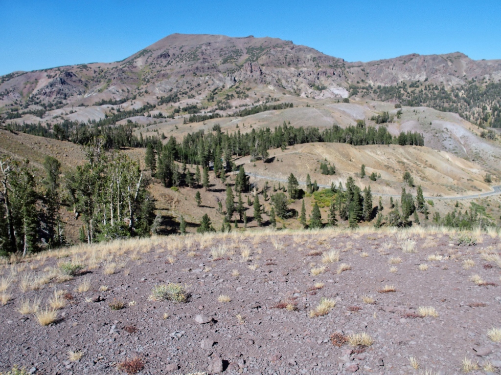
A big roundabout loop commences. It seems as if there must be a better way, and I have seen other sections of the PCT that could have been routed in a more straightforward manner; yet there is little choice but to follow the available path.
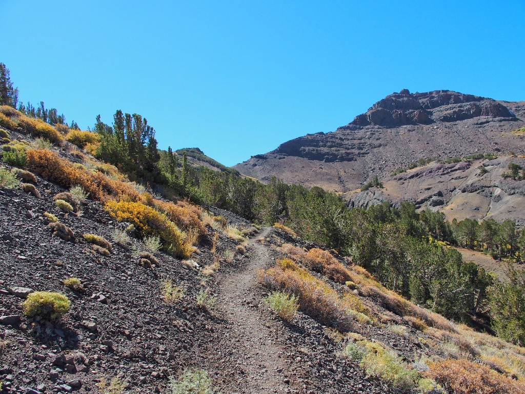

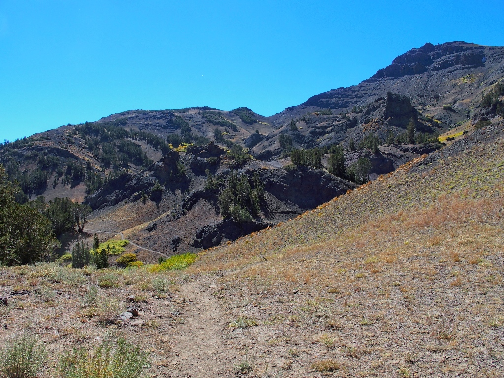
Not an interesting route at the moment
Admittedly, the environs are so dry that being here is not overly pleasant. I actually consider stopping here and finding something else to do, but I didn't incur this extra road mileage only to abandon a trail. I might as well continue, at least for a while.
After a flat stretch, the route starts upward in earnest
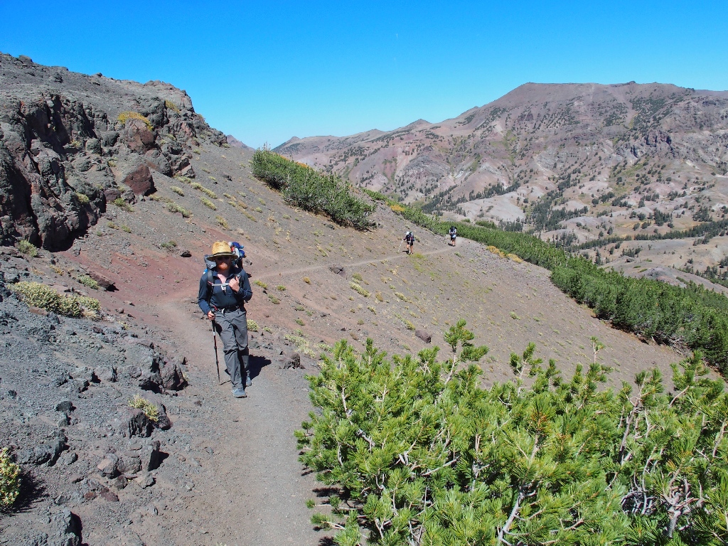
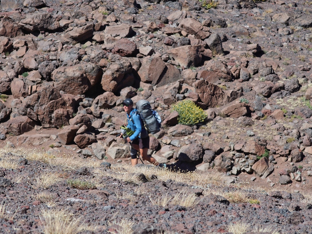
Around the next corner, I am surprised to encounter the four backpackers. Yes, their packs are much heavier than mine; but all of them are less than half my age. They have the advantage.
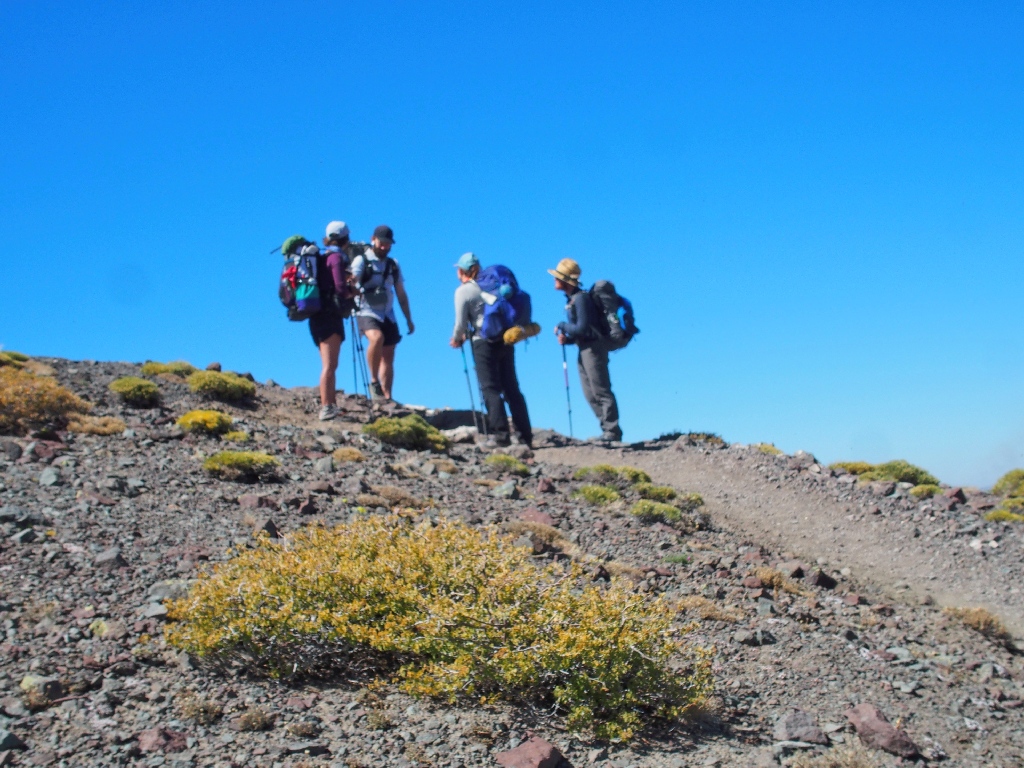
They are through-hiking the entire Pacific Crest Trail
These guys started right at the available 'top' of the PCT; that is, the
northernmost point permitted by passport regulations. They had considerable
trouble with forest fires, both near Oregon's Mount Hood and near Redding during
California's biggest-ever conflagrations.
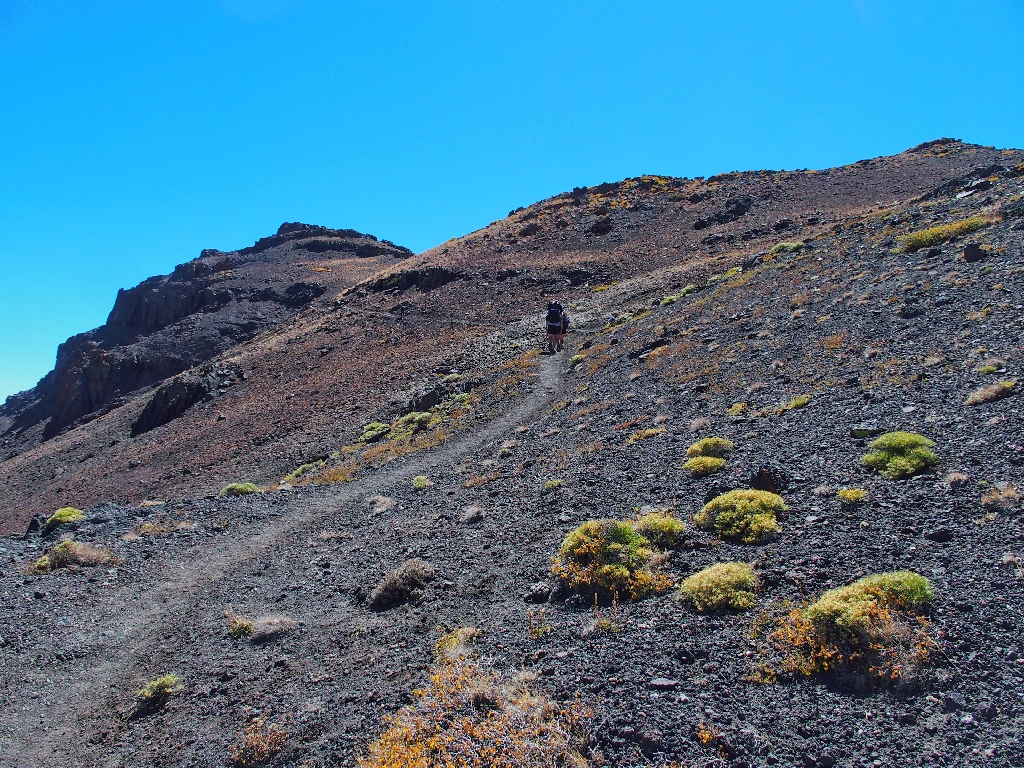
Pressing onward and upward
Here they come
There they go
Approaching the top of the saddle, my excitement mounts. Is this the
overlook I seek? Nope. I am on the wrong side of the north-south
ridge line. Now I have cause to consider again whether to continue.
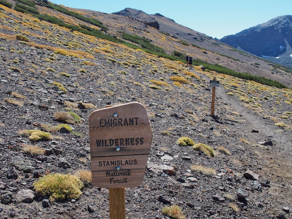
My first foray into this wilderness
It looks like a long way down to the next corner, but is it really? Because I have but one useful eye, my depth perception is not what it could be; but since my cataract surgery, I finally am discovering that things generally are not as far away as my brain perceives them.
To test this conclusion, and because I have walked only two and a half miles thus far, I will press on and see what happens. It looks like a relatively flat walk over there anyway.
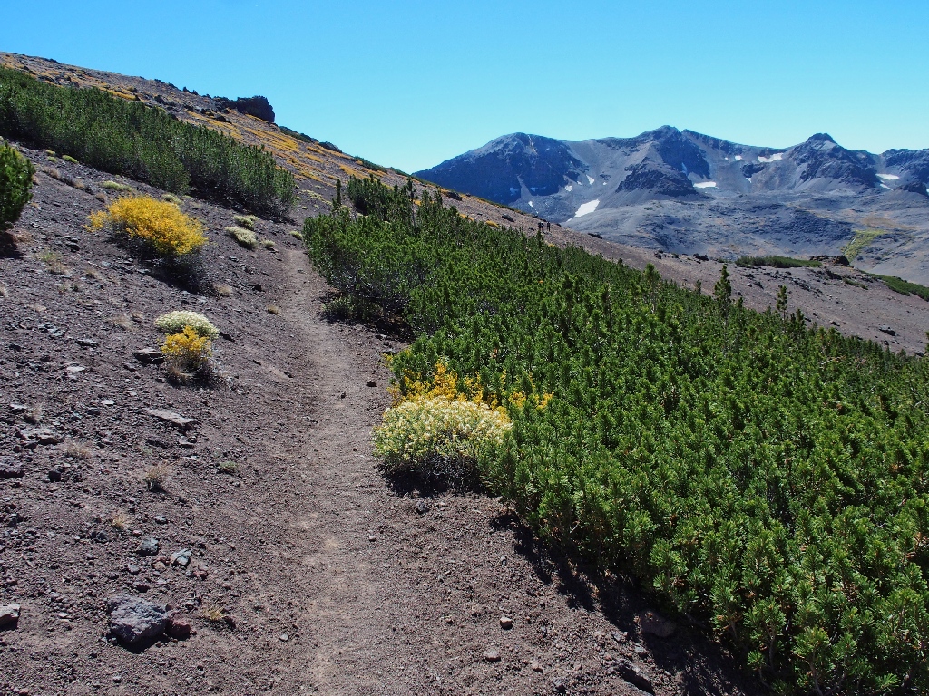
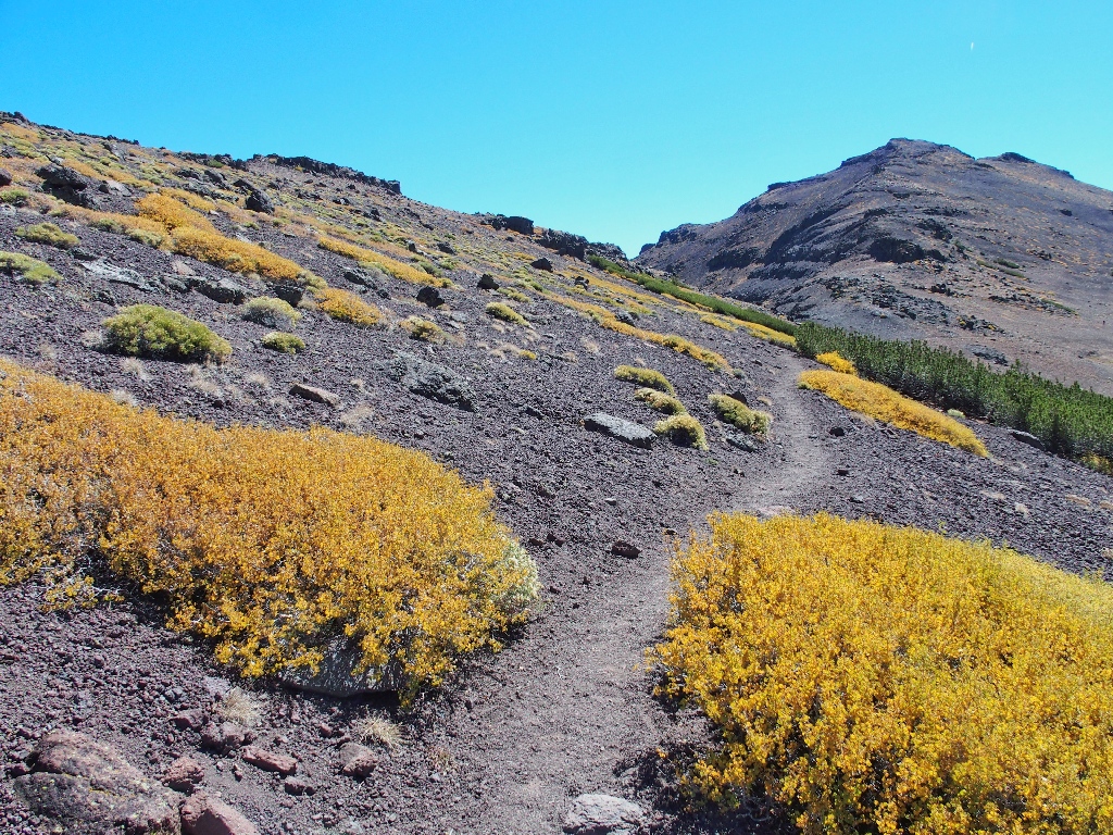
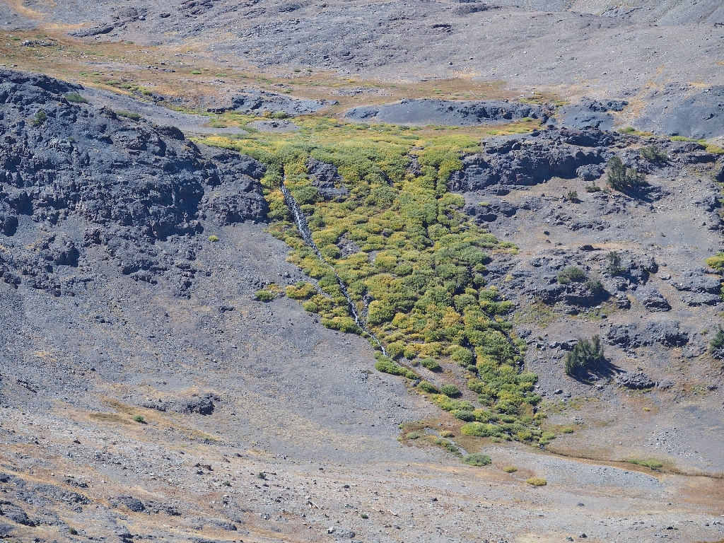
The combination of green and gold is most interesting
Halfway down the route, a spur trail leads over to a nice view of an area that also is on my bucket list.
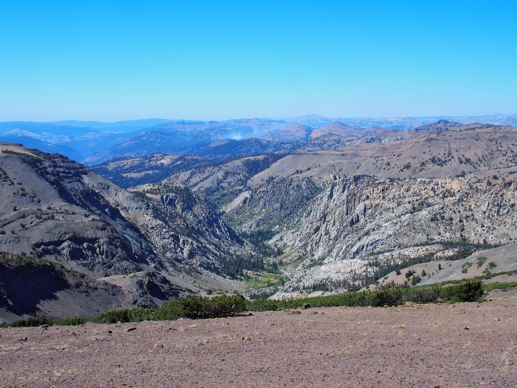
The white-capped Sweetwater Range is twenty miles away
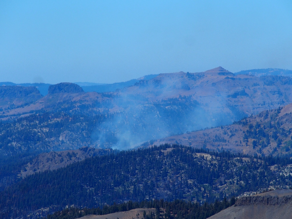
Not so scenic is the current activity to the northwest
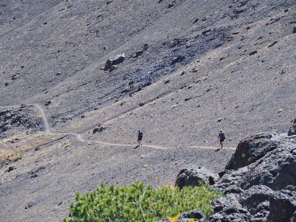
I seem to have been walking fast enough to catch up with the slower pair of the PCT foursome.
I might overtake them soon
Well, this is it — the turn that should tell me what actually is going on.
Rounding the corner
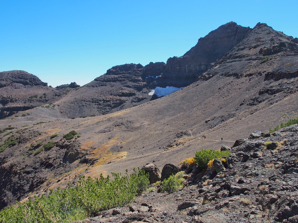
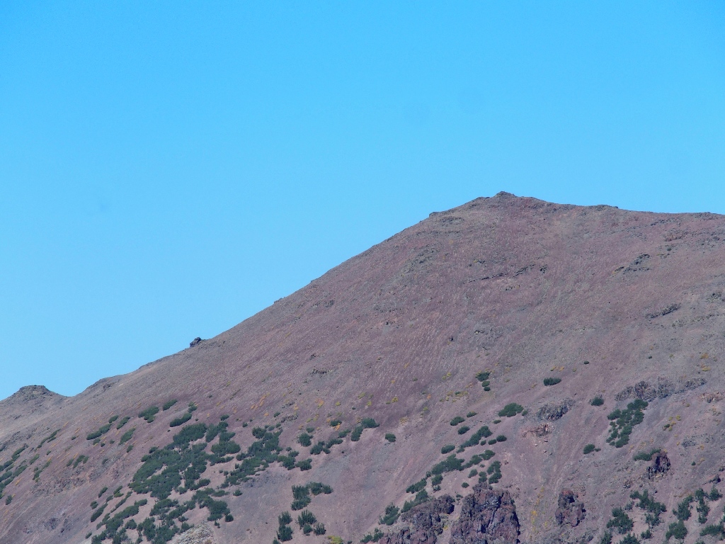
Yes, the situation becomes clear, albeit not to my liking. Doubtless, the
spectacular-looking pass ahead is the desired objective; but getting there
would involve another two miles of walking and another five-hundred feet
of climbing.
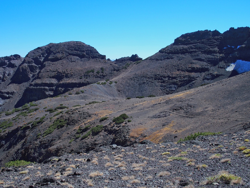
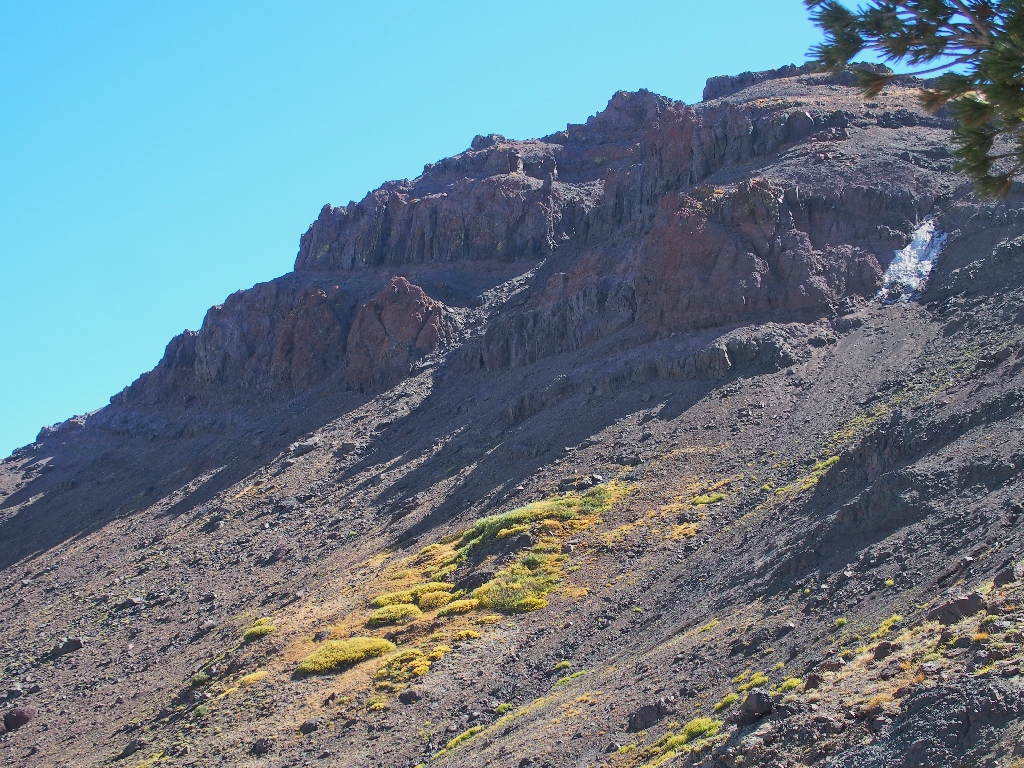
The trail looks really steep up there
The other two are taking a breather. I chat with them briefly and offer a calling card, promising to make them famous via some website photos.
The view is nice, but not the one I wanted
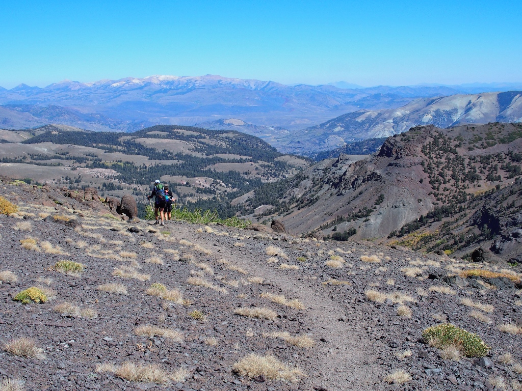
So far I have walked 3.7 miles. Although I am neither weary nor sore,
apparently I am done. Knowing that later I will second-guess the choice
to turn back here, I stand watching as the other couple departs.
Farewell. I hope to hear from you later
Taking a last, somewhat forlorn look, I observe the other two PCT hikers on the final uphill. See whether you can spot them yourself:
The woman is on the big curve beside the cliff; the man is halfway up
from there ⇔
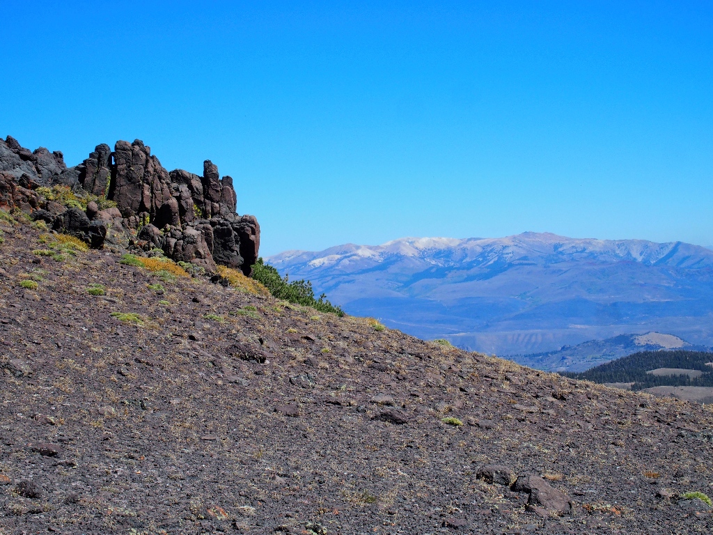
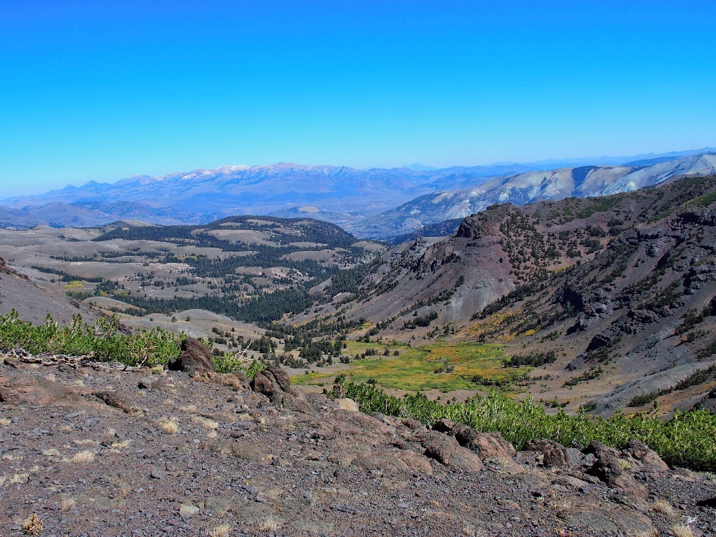
Starting back, I can concentrate on some scenery that was ignored earlier during my single-minded quest.
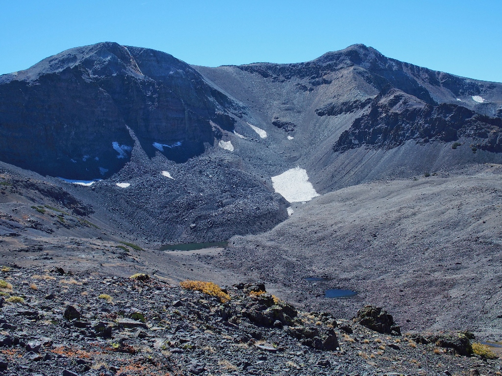
Tarn below Leavitt Peak
Out of sight to the west are Deadman Lake and Blue Canyon Lake
The requisite cross-country venture over there also is on my to-do list.
Interesting stuff
Fascinating stuff
I never have seen anything like that. I wonder whether the view would be any better earlier in the season.
The stunted pine growth makes this traverse worthwhile

Looking at Stanislaus Peak, 11233'
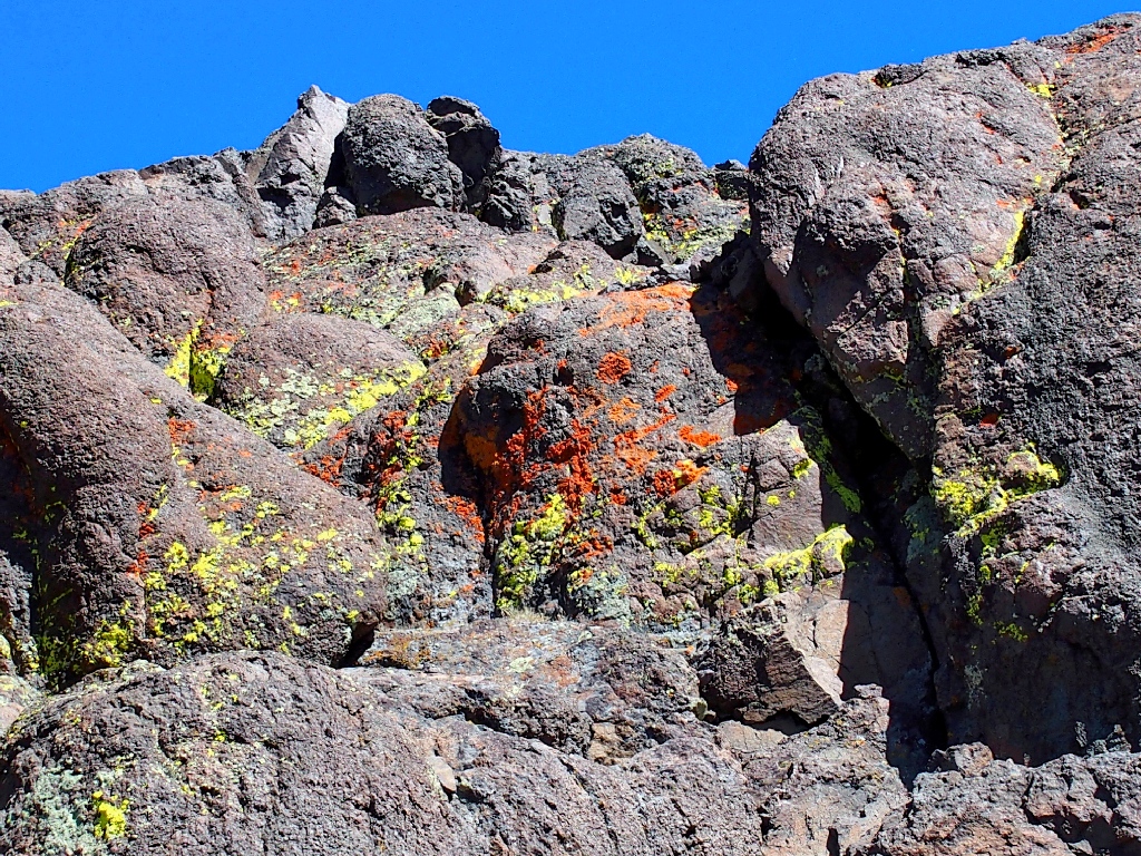
The lichen are colorful today
The fire is still there
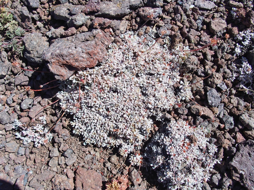
Butterballs
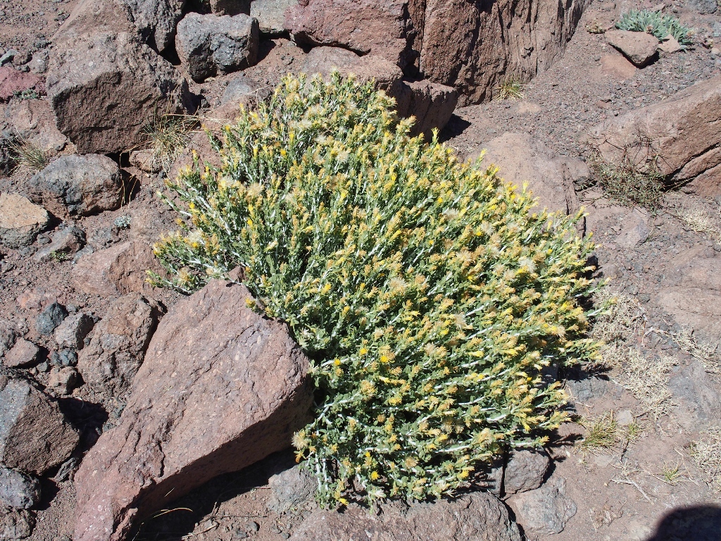
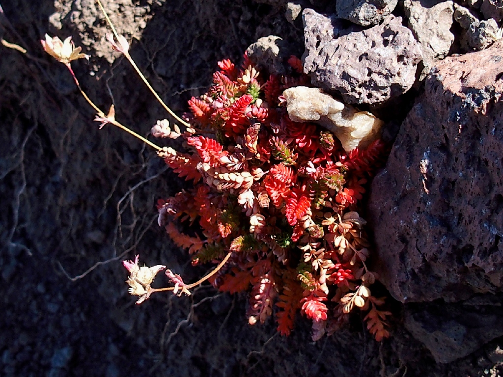
Cliff Goldenbush
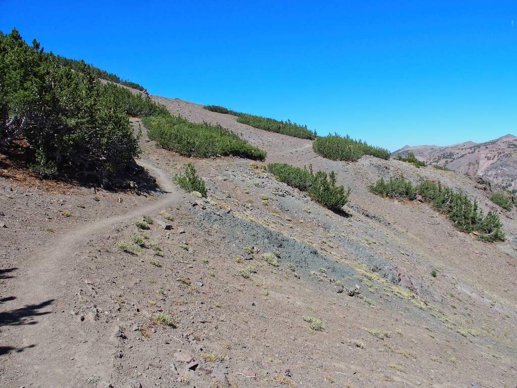
This section is not as flat as it previously appeared
At the wilderness-boundary high-point, it is time for a snack. As I munch away on a very hard energy bar that clearly had been sitting in my friends' cabin for quite a while, another couple comes up the hill.
Fit as a fiddle
To the north, there is no visible activity on Sonora Peak.
I probably couldn't see a person over there anyway
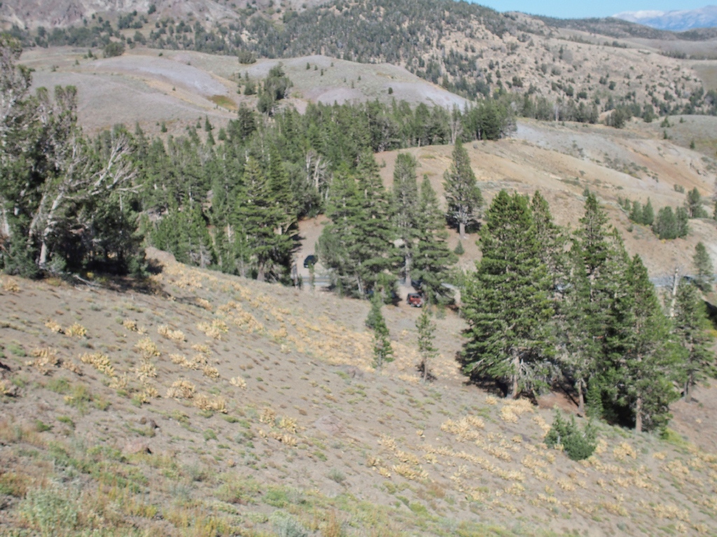
Soon I actually am able to view the trailhead.
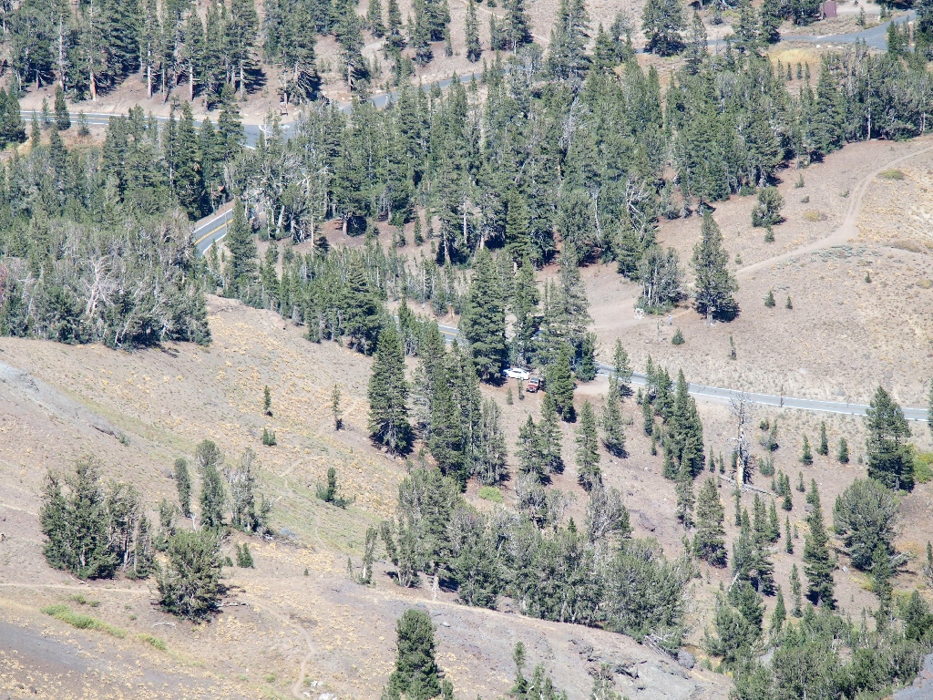
So near, yet so far
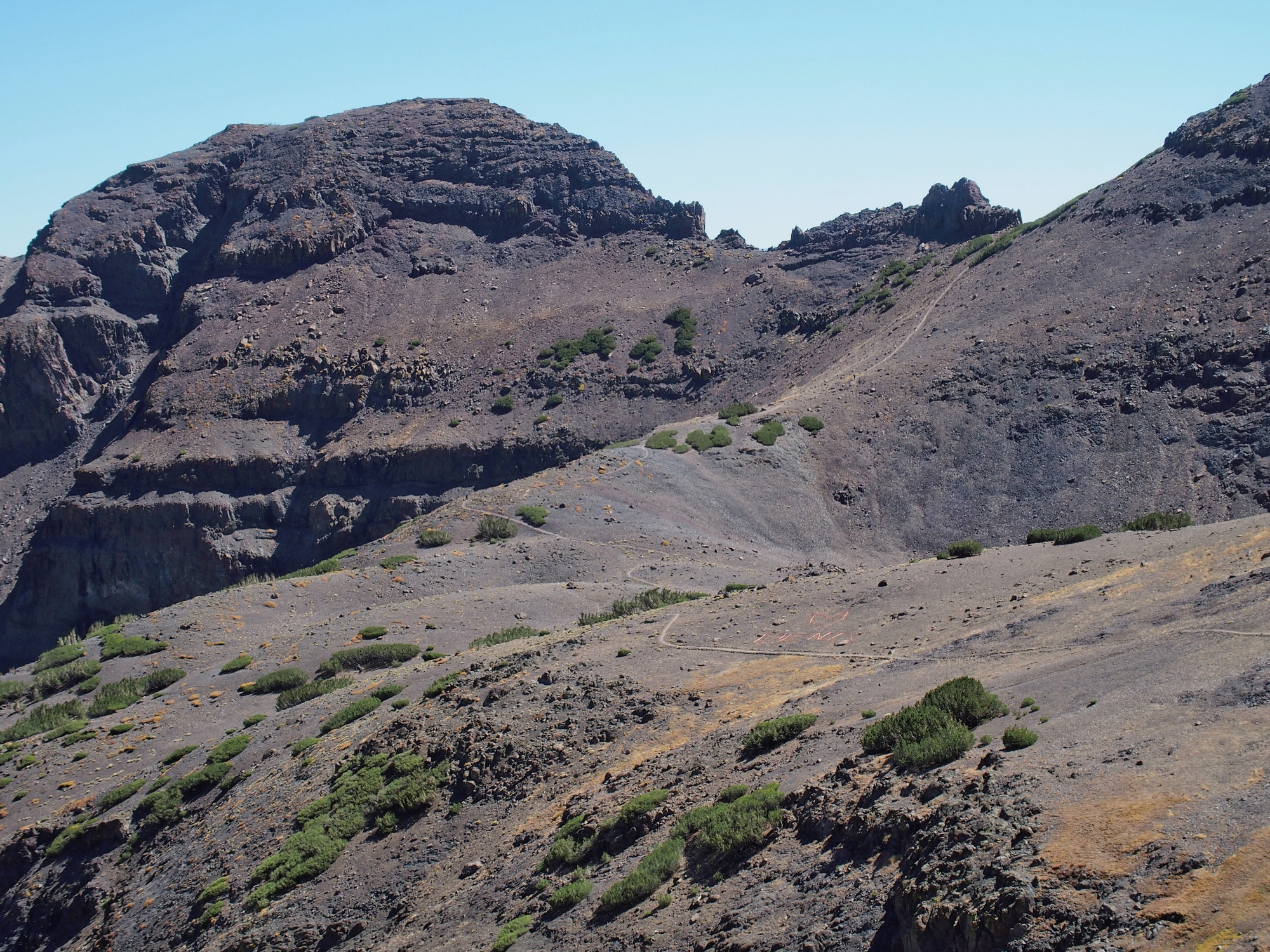
The big loop is visible in several directions:
The trail leads northward...

...then eastward
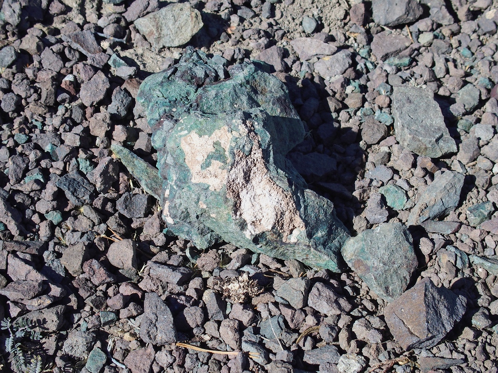
Green rocks are relatively uncommon

Gold Moss Stonecrop
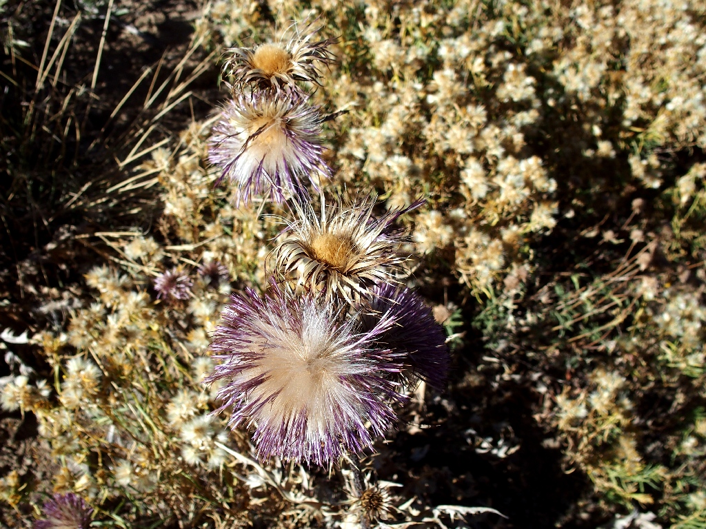
New Mexico Thistle
There are additional trails all over the place down there. Perhaps one can provide me a shortcut.
Yes, I can see a path heading directly toward the car
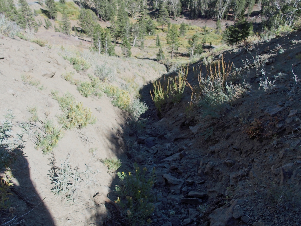
So down the hill I plunge, to a spot that crosses Sardine Creek just below a dry waterfall. Apparently, that is why the spur trail exists.
Soon the pathway dips into a deep, dry wash. The wall is steep enough that I must inch my way down slowly. At the bottom, I discover that getting up the other side will not be easy; in fact, it looks a bit scary. There is only loose sand with nothing resembling a handhold.

More unfriendly that it might look
Hoping to find an easier exit, I elect to scramble up the wash on small rocks; but nothing good materializes. After climbing about thirty vertical feet, I must inch my way up some rock with handholds barely big enough to grab using a couple of fingers. Beneath me is loose scree, so there is nothing resembling a decent foothold.
Pardon the poor camera exposure, taken under some duress
This is not a good situation; for sliding down backwards here definitely could
result in a banged-up appendage or perhaps a twisted ankle, and an actual
fall would be bad indeed. After breathing hard for some seconds, I finally
manage to maneuver over to the edge of the ditch and raise a foot far enough to
allow me to scramble out of the chasm.
That was close to a "Don't tell my wife" scenario, and I am supposed to have sworn off of those. Supporting my entire body with just my arms is not what hiking is supposed to be about. My work is not finished either, because the slope is so steep that I must slide down the scree on my butt for quite a while before finally being able to stand up safely. Both my pants and my poor pack take a beating here.
From here it's a cakewalk
While my car is nearby the entire time, it takes half an hour to negotiate the current crisis. Some shortcut.
This one is mercifully over
§: Well, what an outing that was! Besides not having a proper map
ready, my ill-advised diversion didn't actually save any distance after all.
Not only should I not have attempted that final pitch, but it would have made more sense
to have gone down the ditch rather than up it in the first place. Eventually
it would have widened, solving the problem. A good lesson has been learned from
that.
More importantly, however, the Pacific Crest Trail itself proved quite beautiful
despite the lateness of the season. I am not a big fan of volcanic areas in
general, but this one held its own today. Google Earth later showed me that the
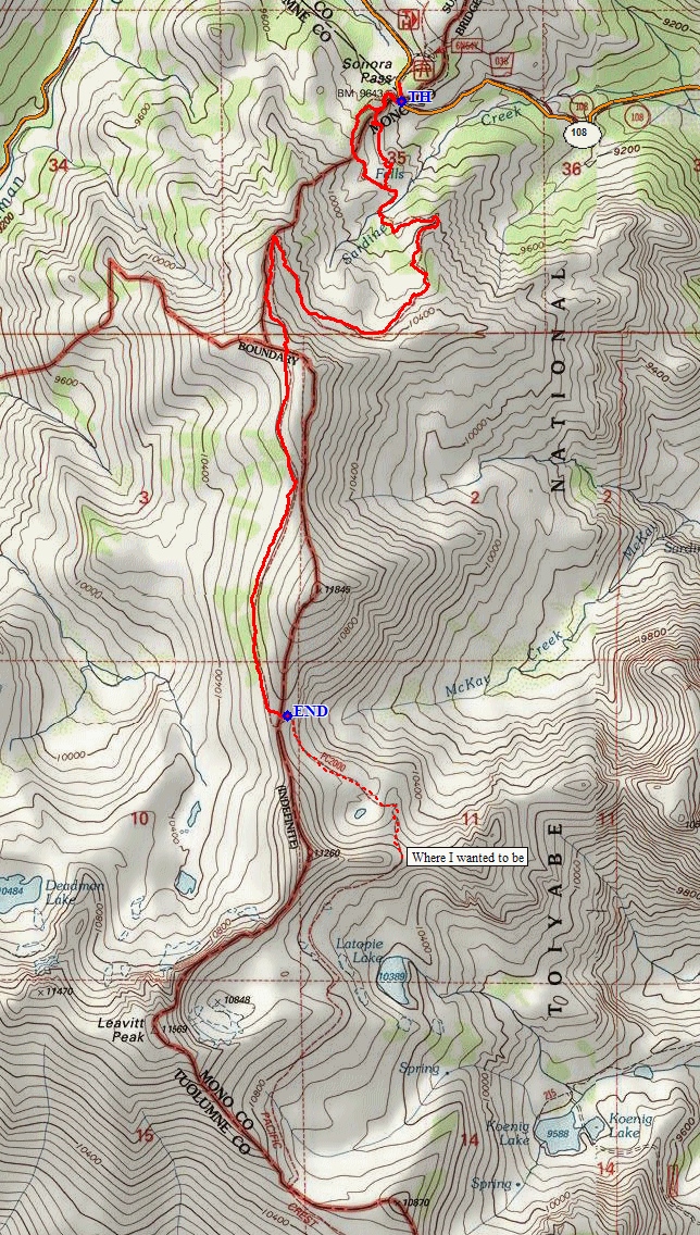
view from the next high point (marked as 'Where I wanted to be' on the map) would have
been worth the effort, as expected. I just might have to go back
there — but in mid-season, of course.
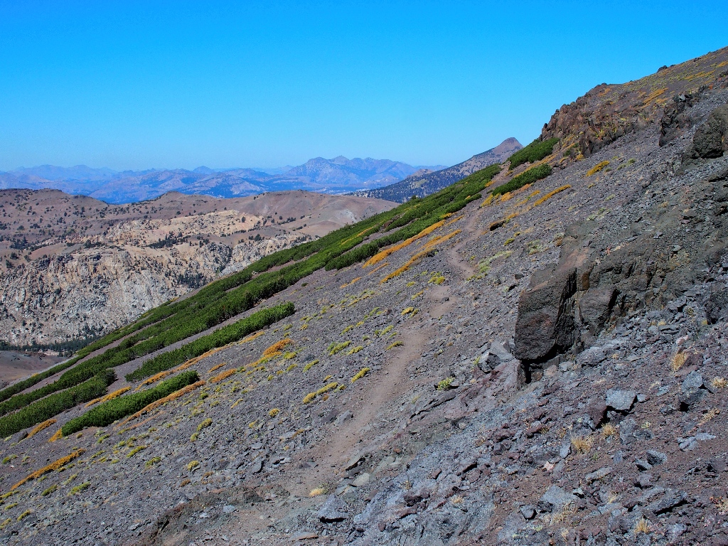
Also, the trail itself was easy on the feet, being packed dirt virtually the
entire way. And the big, seemingly wasteful loop gains 600 feet
over 1.3 miles, making it about an 8.5% average gradient; one would
not want the trail to be much steeper than that anyway.
| Scenery |  |
| Difficulty |  (without the ill-fated shortcut)
 |
| Personality |  |
| Adventure |  |

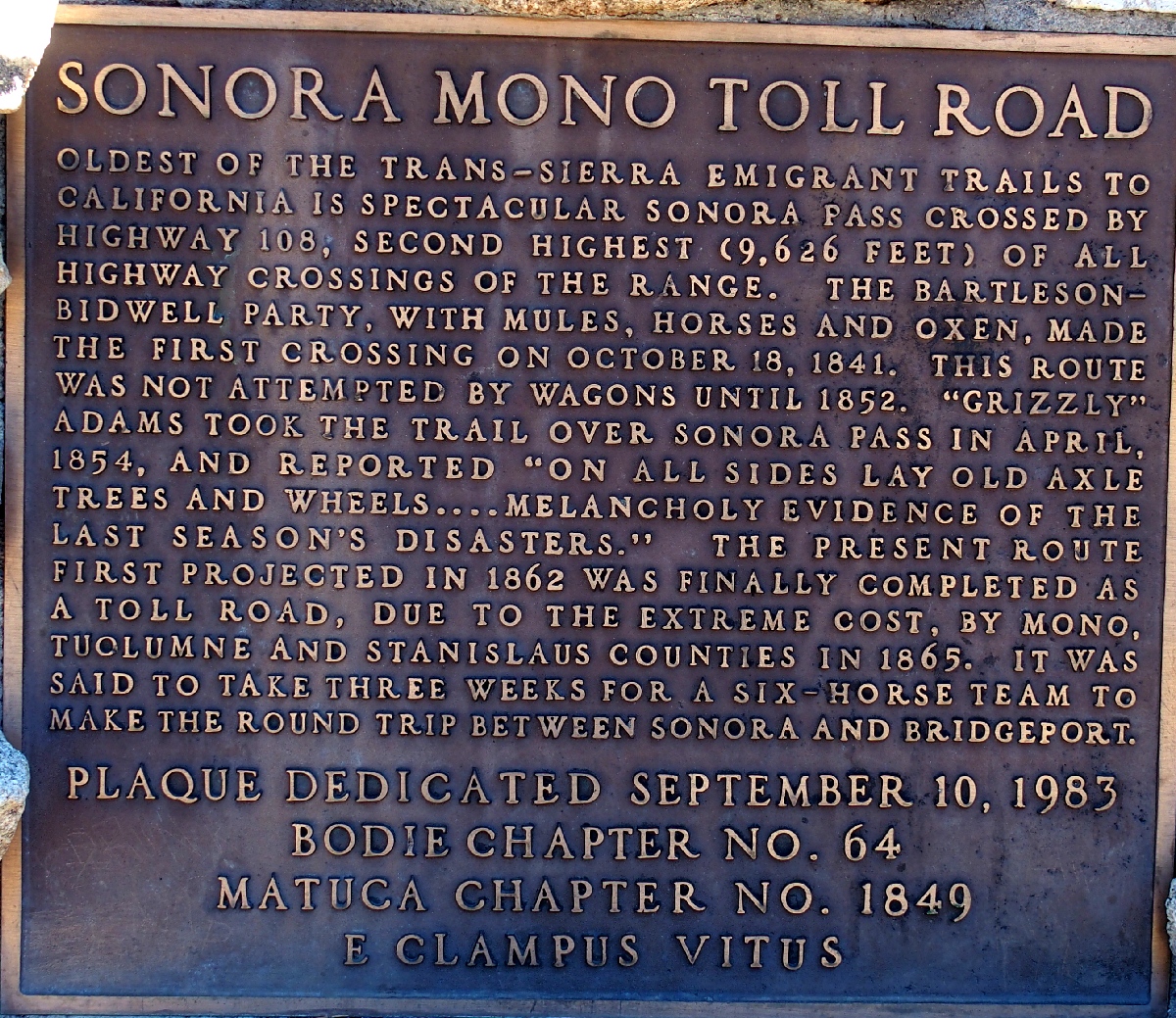
There is an interesting historical marker at the summit:
Also, the waterfall area that I found on Sardine Creek apparently can be pretty spectacular. It is not Sardine Falls, however; for that feature is down in the meadow on McKay Creek. I know, because that's where I broke both a camera and my skull on Hike #163.
