
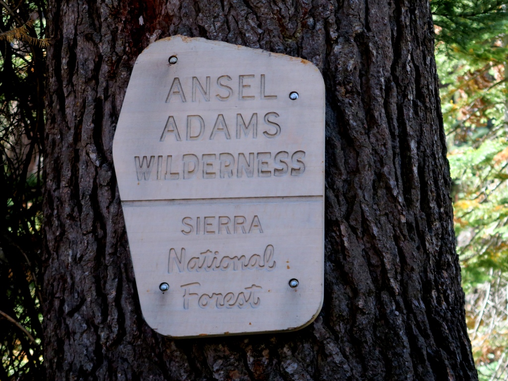
Ansel Adams Wilderness
|
Jackass Lakes Ansel Adams Wilderness |
September 12, 2018
I ventured over here a year ago after revisiting the Dinkey Lakes Wilderness to the south. Besides spending a hundred dollars on a horrible motel room, I found the area inundated by forest fire smoke the next morning; so I was compelled simply to drive home.
Today the skies are clear as I head up this named Scenic Byway, which is the least scenic byway I ever have driven. The last ten miles are a combination of pavement patches and graded dirt.
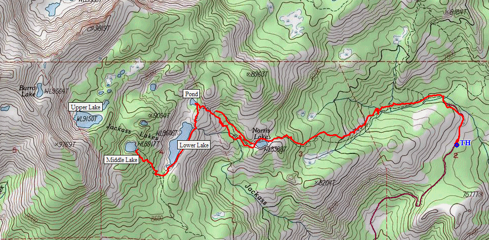
The official Jackass Lakes Trailhead comes into view, but I ignore it.
Less then two miles farther on is the Norris Trailhead, which will increase the
walking distance somewhat but will reduce the requisite climb by hundreds of
feet. It is a crisp forty-seven degrees out as I park the car.
Starting out
I probably am over-dressed as usual, even in just a light swearshirt; for this is perfect hiking weather.
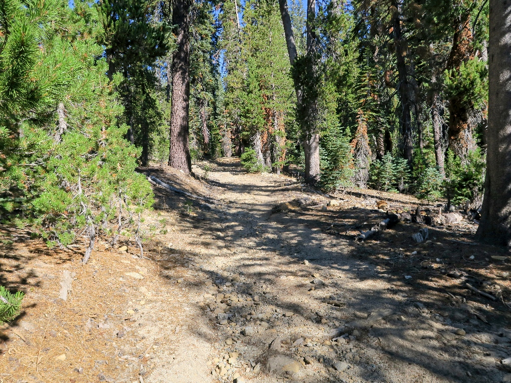
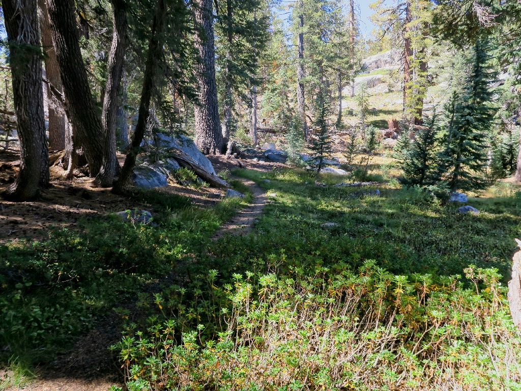
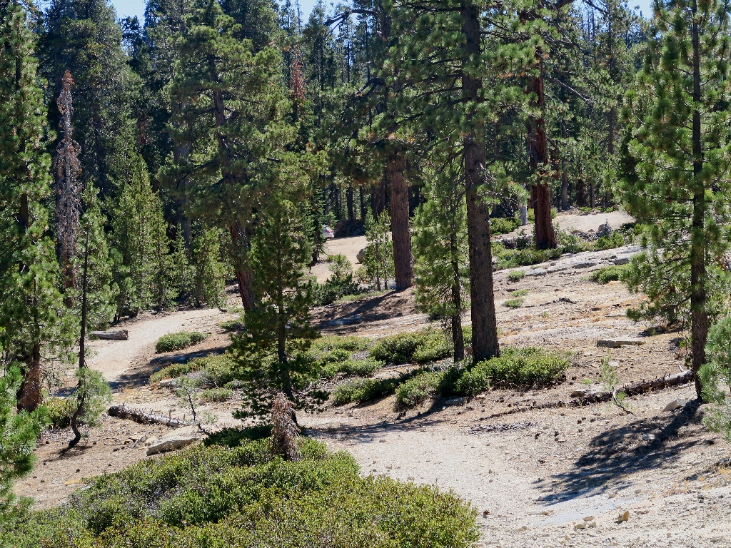
It's an old two-track so far
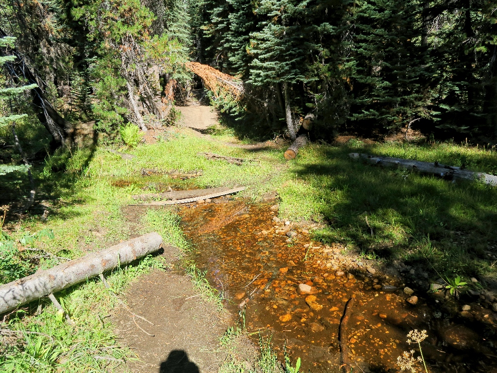
Norris Creek is all but dry
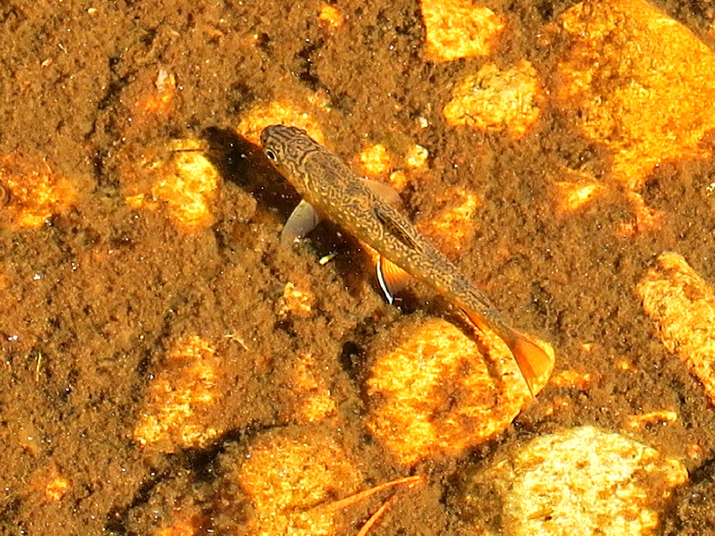
The little fishies have nowhere to go
I knew about the upcoming junction; but directions are nice to see anyway, even if they are lying on the ground.
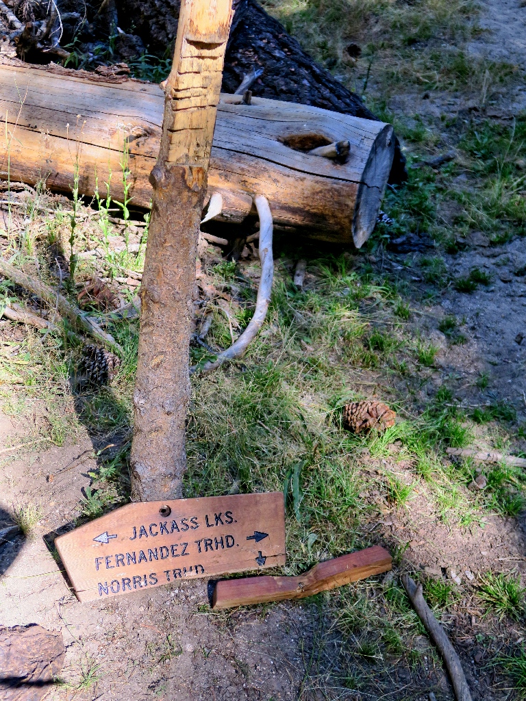
Hikers barely do have somewhere to go
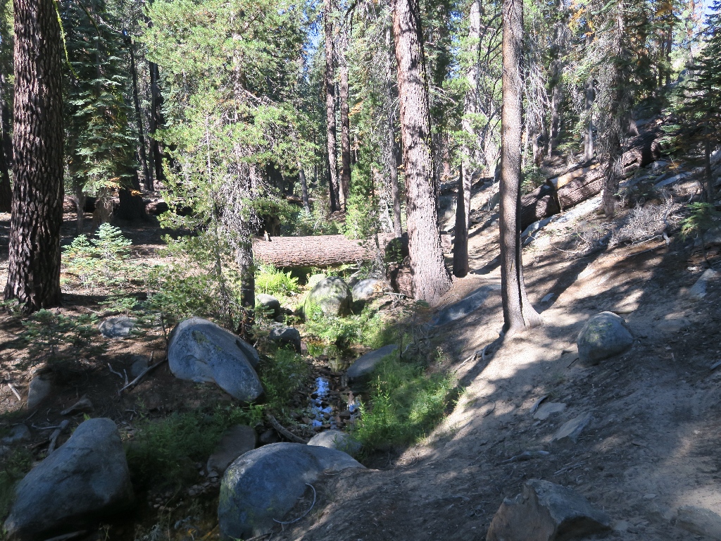
Following the creek briefly
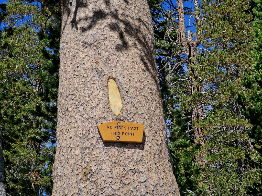
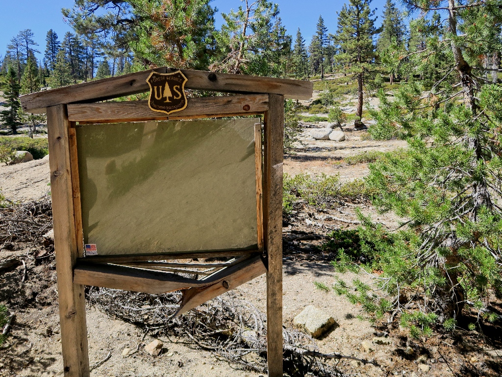
The sign has faded to white
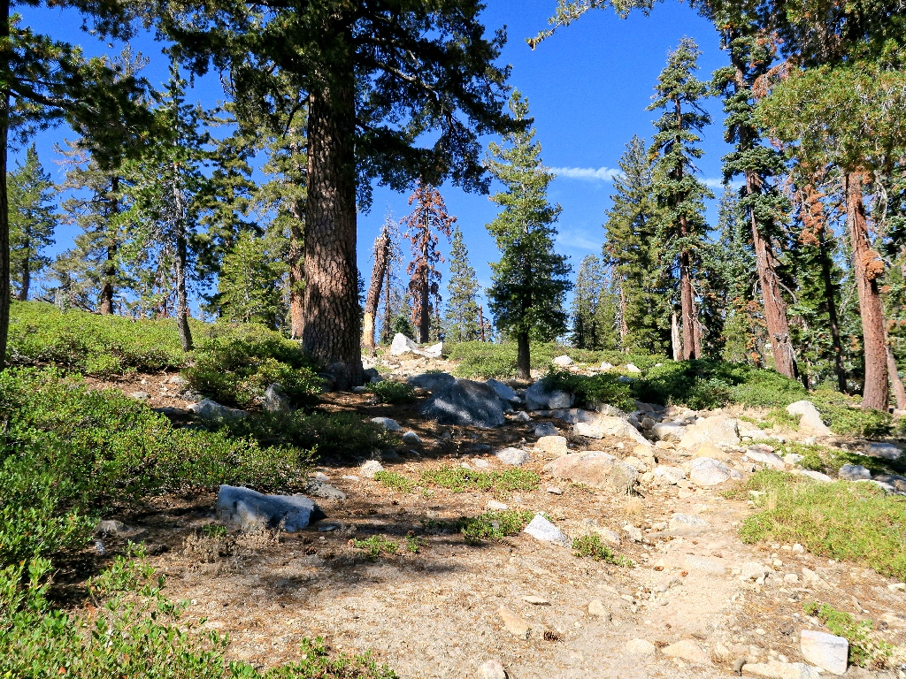
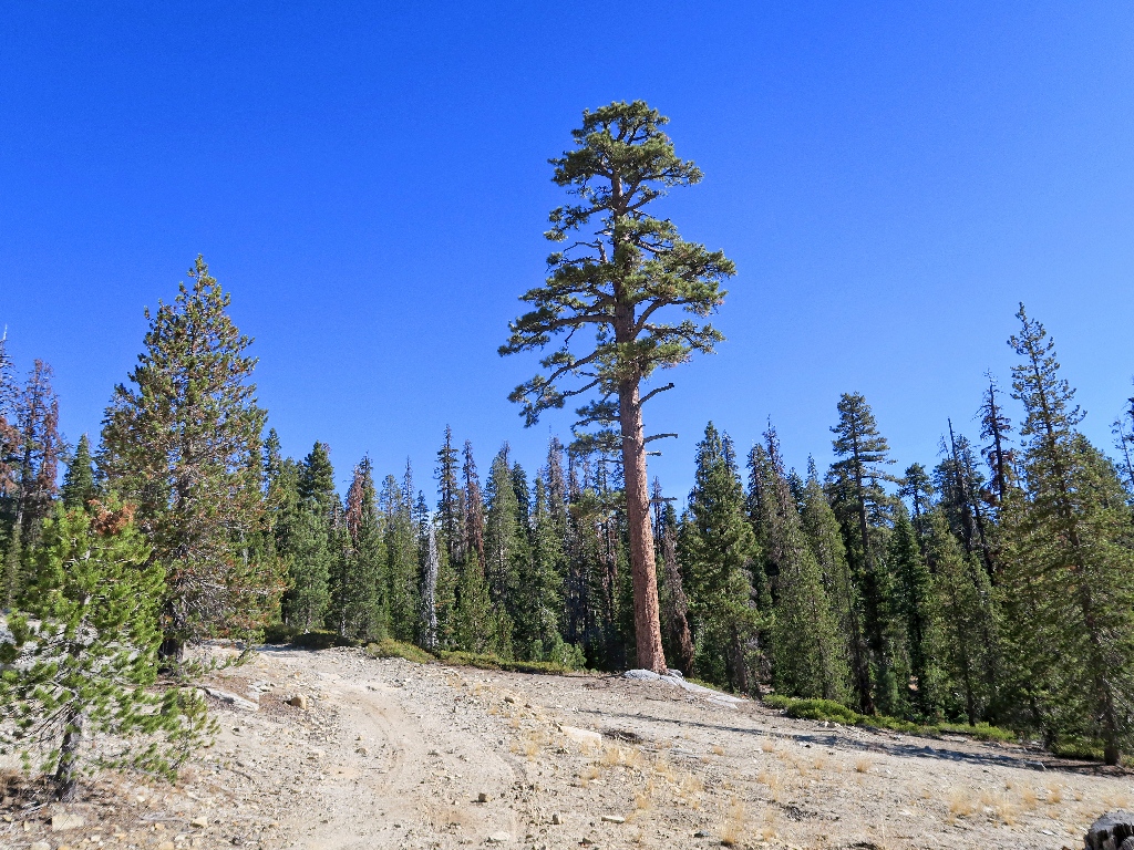
Rather steep and relentlessly dusty
The first destination appears.
Norris Lake
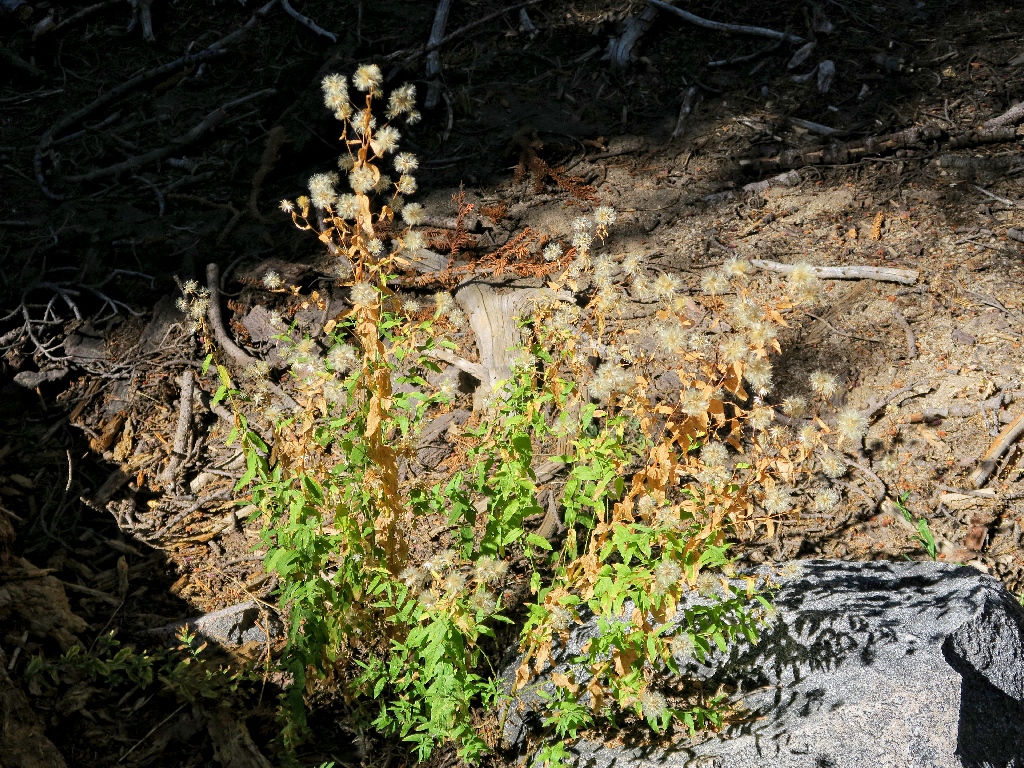
The closest thing to a flower on the trail
Another hill
Okay
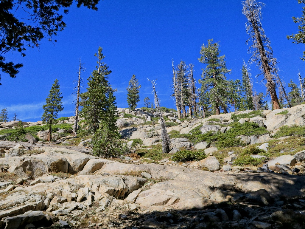
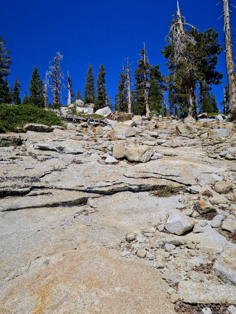
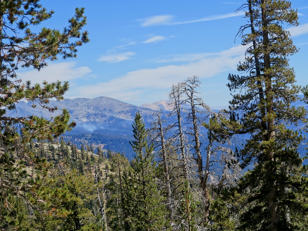
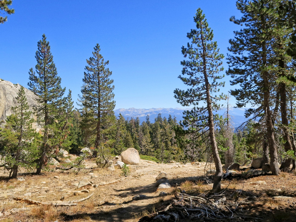
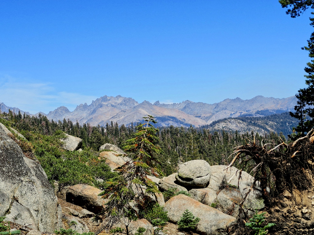
On this granite slope, the view finally opens up, to an extensive mountain vista.
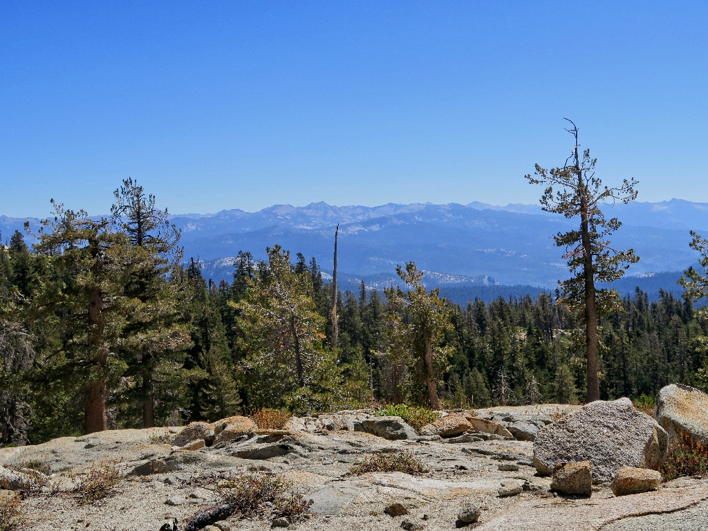
The Sierra Crest
Atop this slab the trail turns 90-degrees southward. The map shows a little lake or pond here, but it is out of sight. I will hunt for it later.
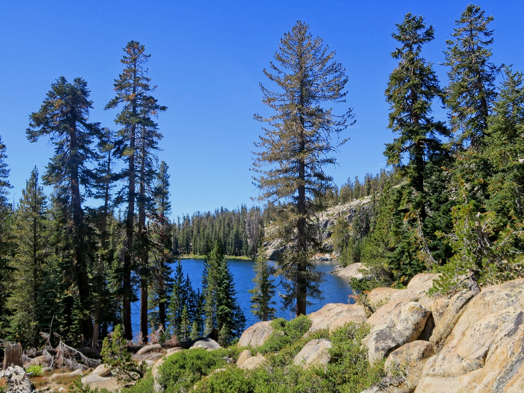
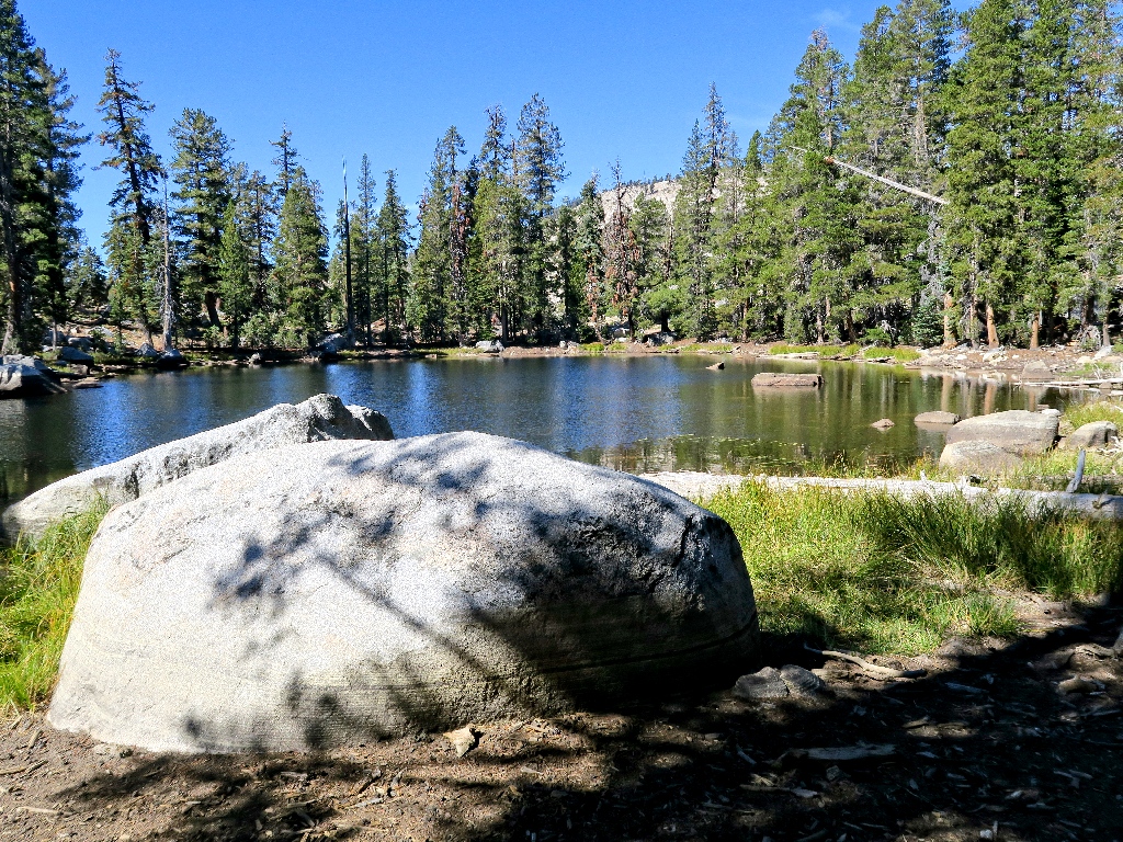
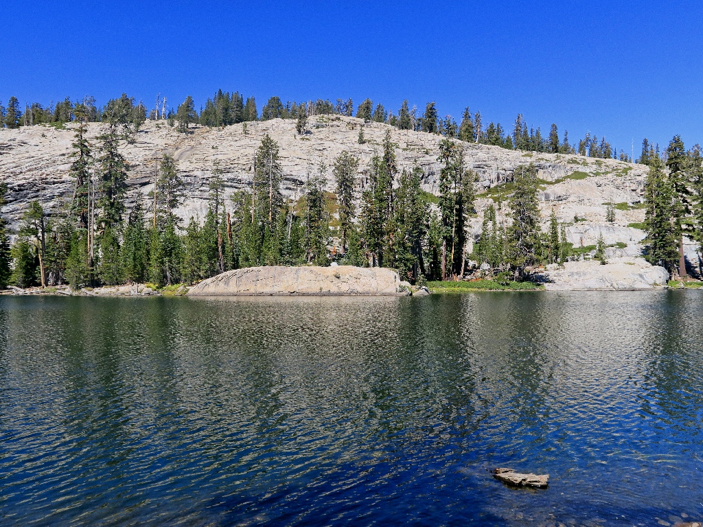
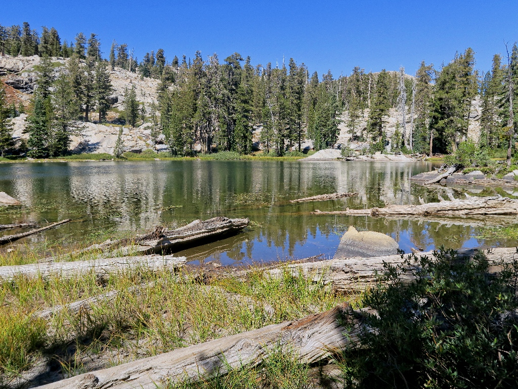
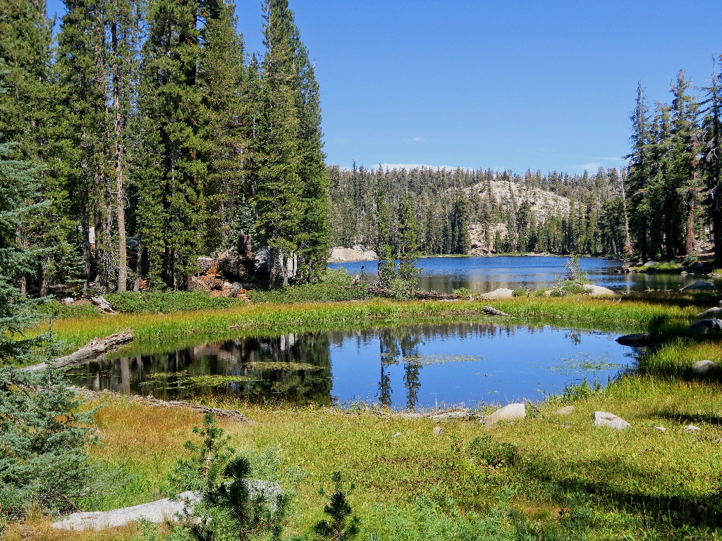
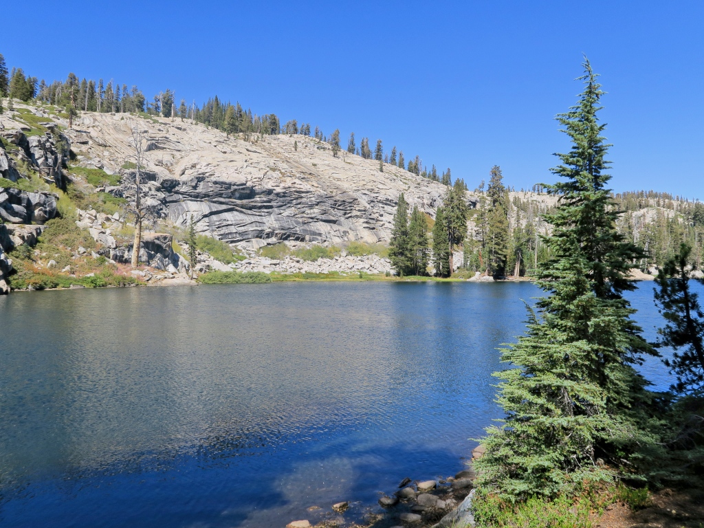
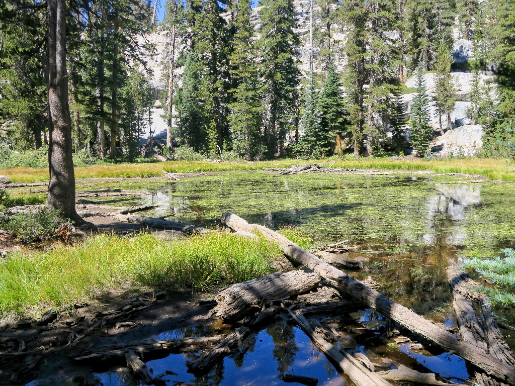
Lower Jackass Lake
The lake's outlet is completely dry now, which is too bad; for this would be a spectacular spot earlier in the season
A long cascade starts right here — sometimes
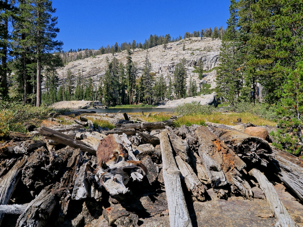
Log jam
That sign has been here for some time
It is quite peaceful here
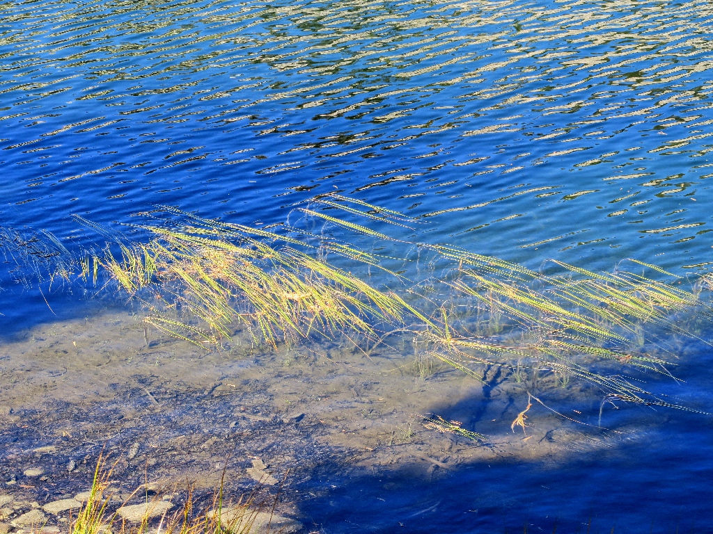
Colorful grasses
It's almost green in spots
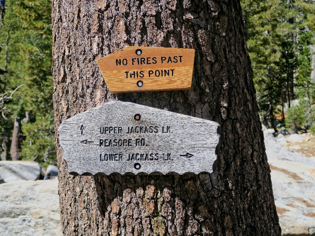
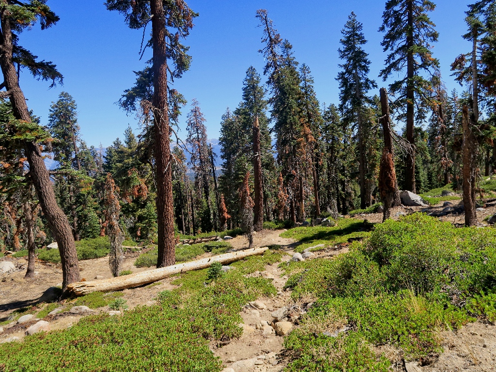
Junction with the official Jackass Lakes Trail
Steep, but more fun than the other stuff
None too soon, the next objective appears.
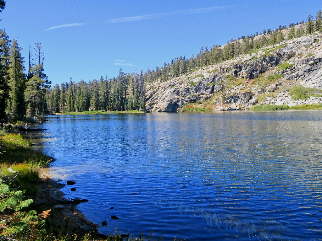
Middle Jackass Lake
It is lunch time, but I seem to have left my bag of grapes at home. Bummer. A couple of bites of gorp are all that interest me now. I really am off my feed today.
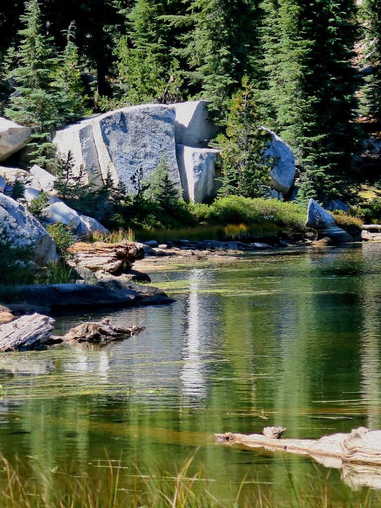
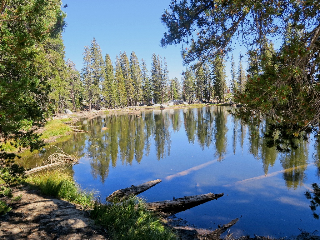
An amazing reflection
How does it do that?
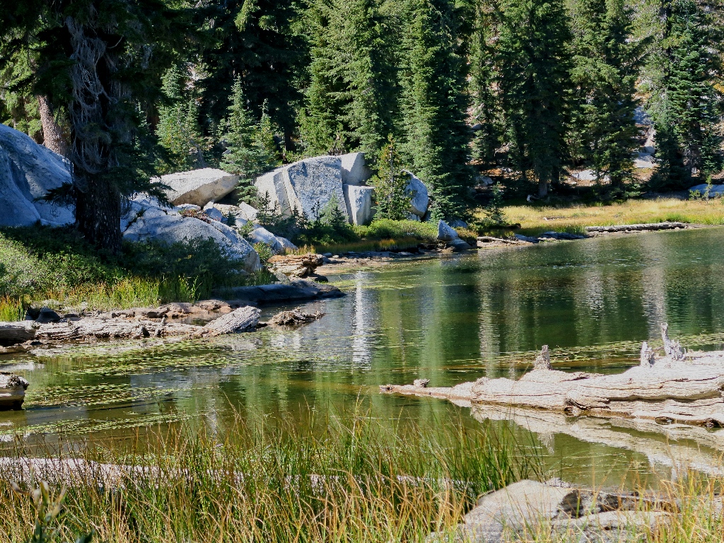
The whole picture
In the 1880s, the U.S. Cavalry regularly patrolled Yosemite, of which the Jackass Lakes originally were a part. Donkeys were used for building roads in the park, which explains the naming of these lakes.
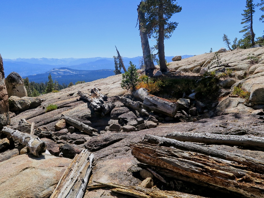
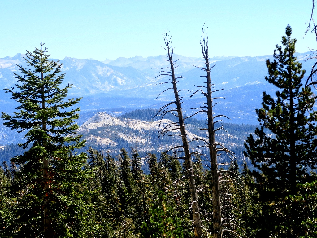
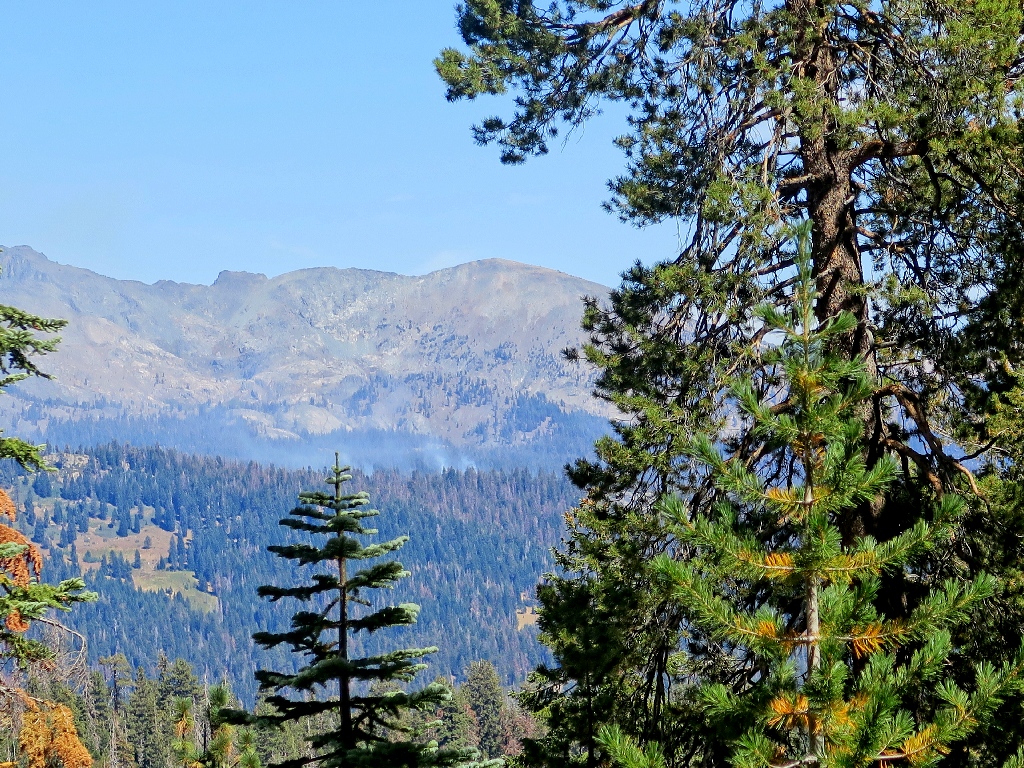
There's a fire to the west of Mammoth Mountain
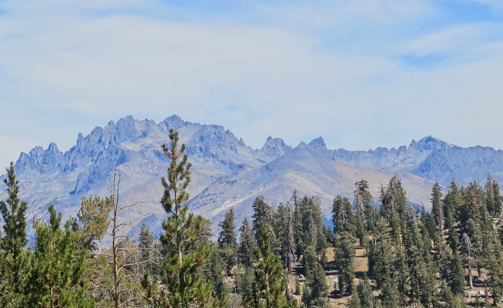
To the northeast, the Ritter Range is awesome
The highest Sierra peaks are out of sight over there
Upper Jackass Lake is just three-tenths of a mile up the trail as the fly flits, which means that it would be half a mile or more overall; but right now I am disinclined to incur the additional two hundred feet of climbing on an obscure route. This is what happens when hiking activity is stifled for a full month due to the most massive inundation of forest fires ever incurred in California.
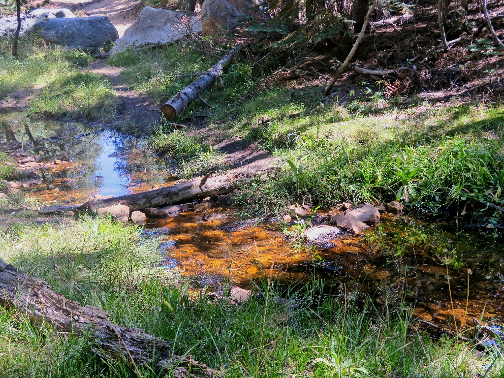
A nice pond accompanies the Lower Lake
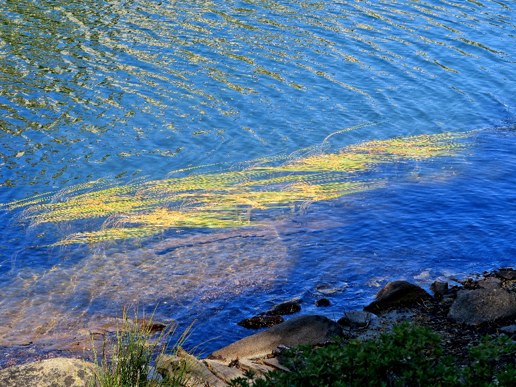
Mediterranean Tapeweed
Back at the outlet
Climbing out of here
Before starting the big downhill, a short detour begets the previously missed attraction:
This pond is covered by green stuff
Starting down
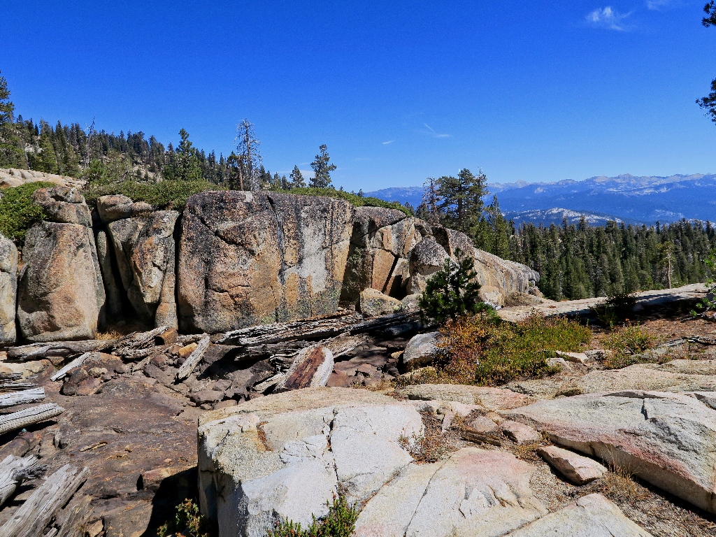
Squaw Dome, I believe
The established trail is marked with cairns; but I elect to follow the path of least resistance, which is to remain on the smooth granite slabs as much as possible.
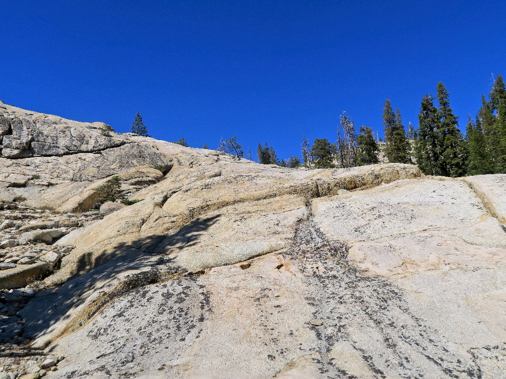
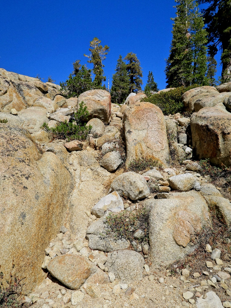
A portion of the alternative route
Of course, this means that when I reach the bottom of the rock, the trail has gone missing; moreover, I don't even know where it is. After ten minutes of scrambling over logs and underbrush, I still have not found the path.
There is nothing for it now but to consult the GPS for directions to Norris Lake and simply head that way; but first, I must take a photo of a serendipitous new acquaintance:
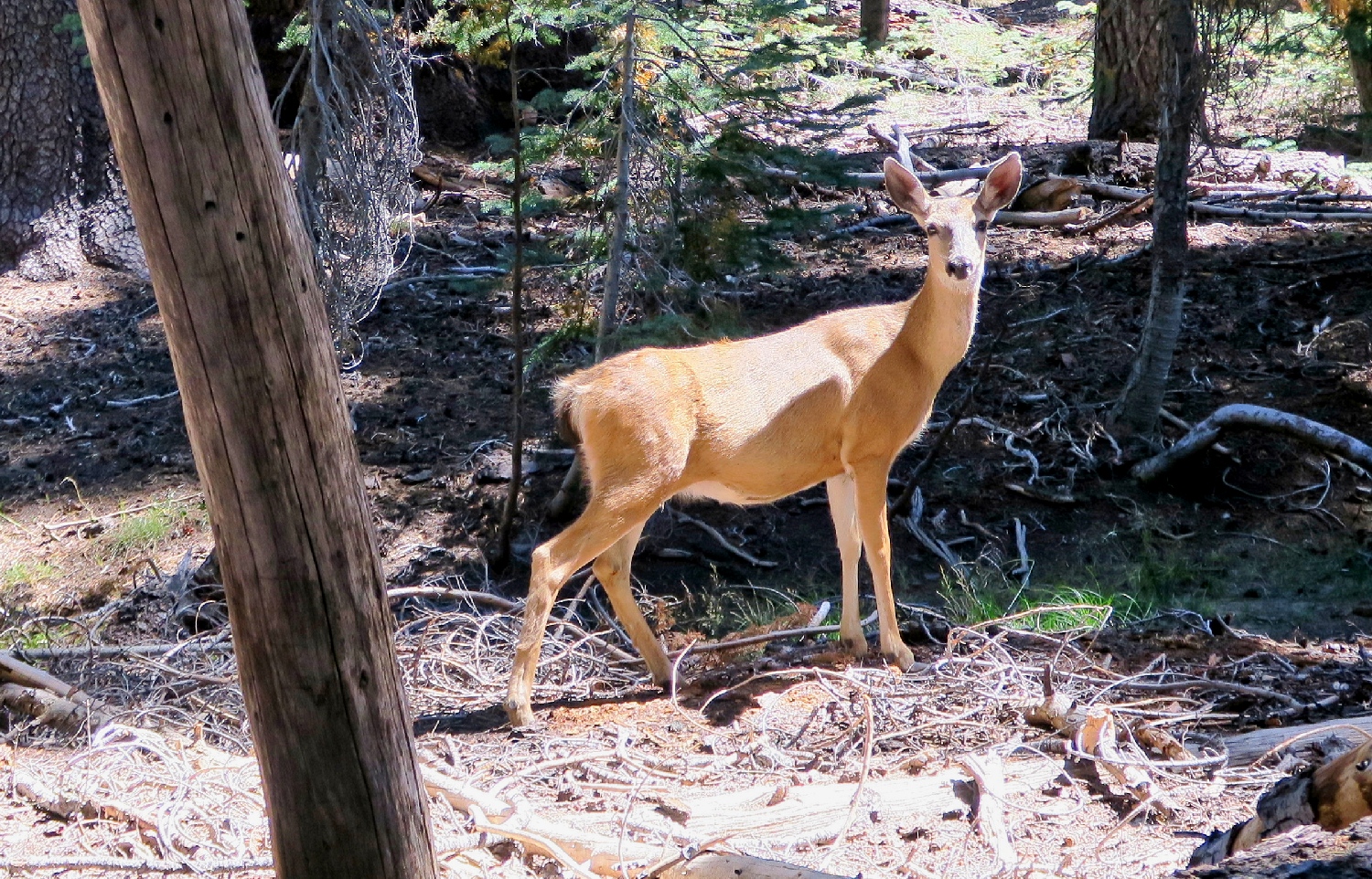
This is why I go hiking ⇔
After a false start, I seem to be heading in the right direction. Now my gadget says that the lake is but 400 feet away. Soon it reads 250 feet. This is good, but I have yet to glimpse any body of water. I know from prior experience, though, not to mistrust my Foretrex; and surely enough, around the next corner is the missing trail leading right to the shoreline.
Norris Lake reappears, right where it is supposed to be
I am halfway back. It is time to break out the Walkman to relieve the tedium of the upcoming slog.
A steep, dusty downhill is all that remains
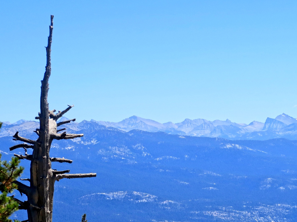
The fire is still there
Last view of the Ritter Range
Hello! A big, black beastie is blocking the trail ahead.
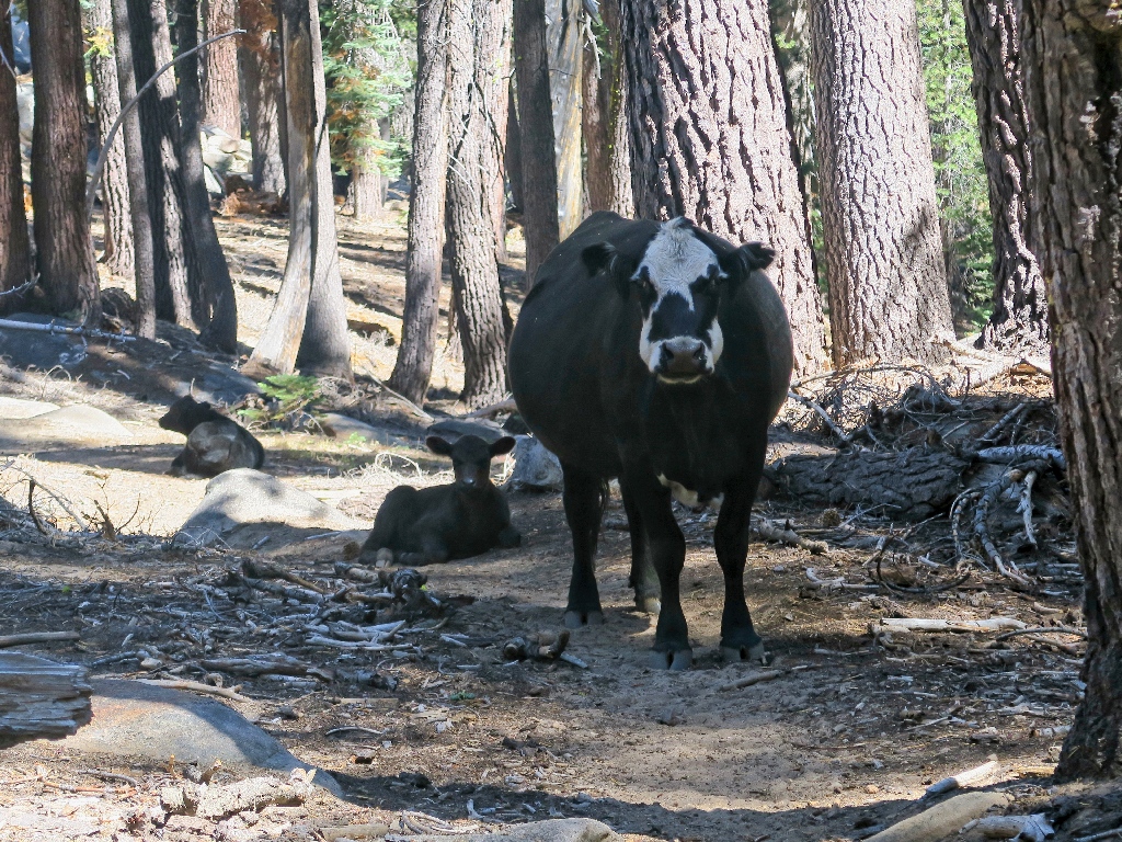
Bossie doesn't seem anxious to move
Not being interested in an encounter with mom and her babies, I veer around the intruders. Half a dozen more appear nearby. I am surprised that none of them are wearing cowbells.
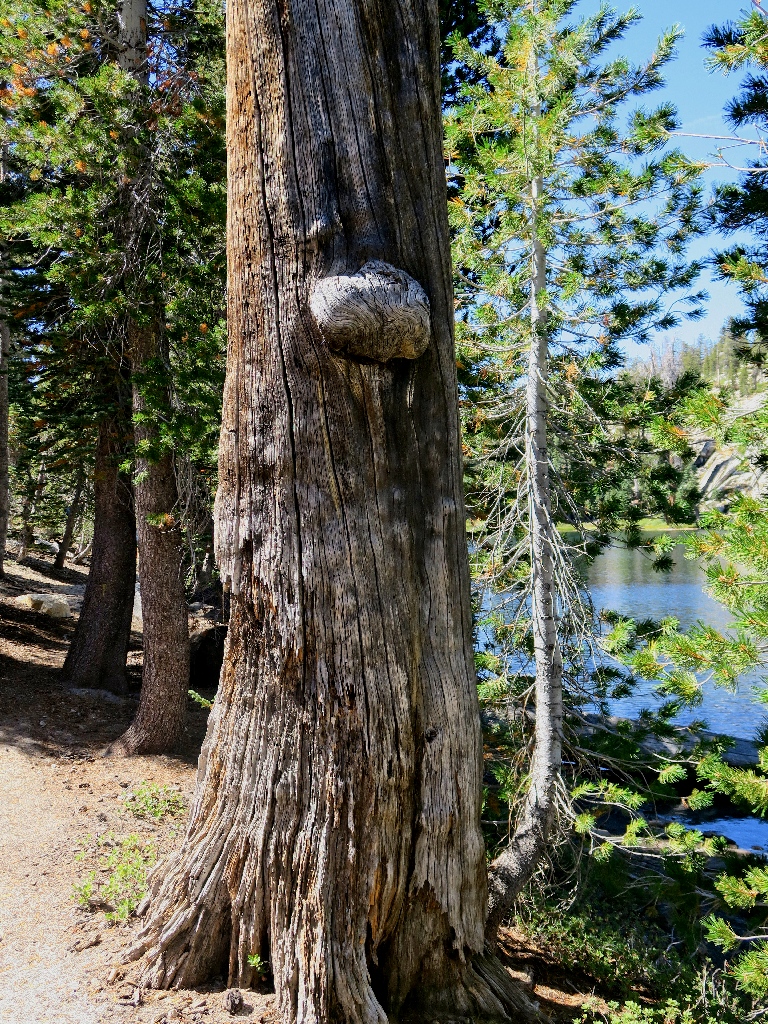
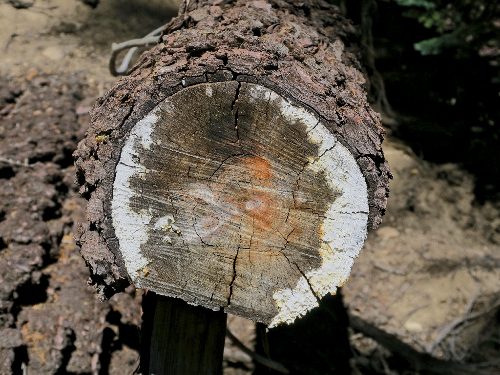
Tunnel tree
Back at the fishy place
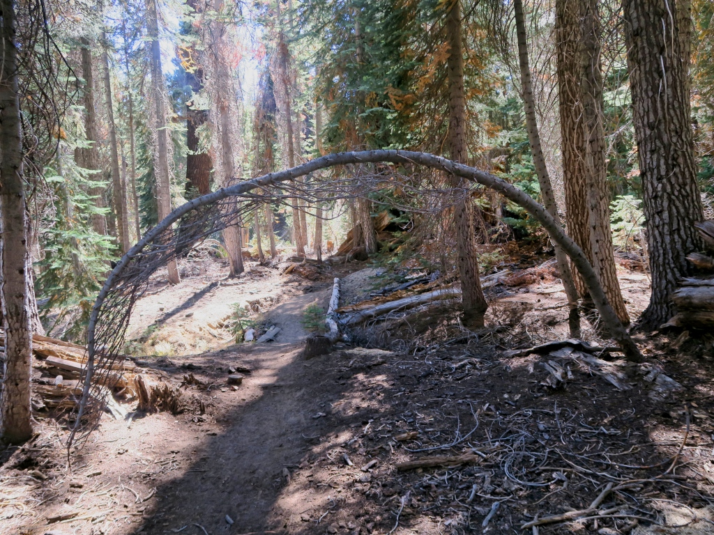
It's not far now
Back at the trailhead, the two pickups are gone. Those folk must have been on the Fernandez Trail to the north, where there are a couple dozen more lakes.
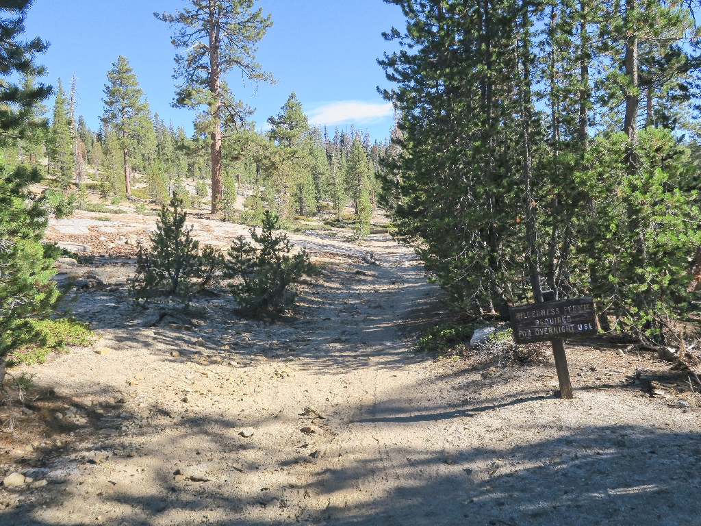
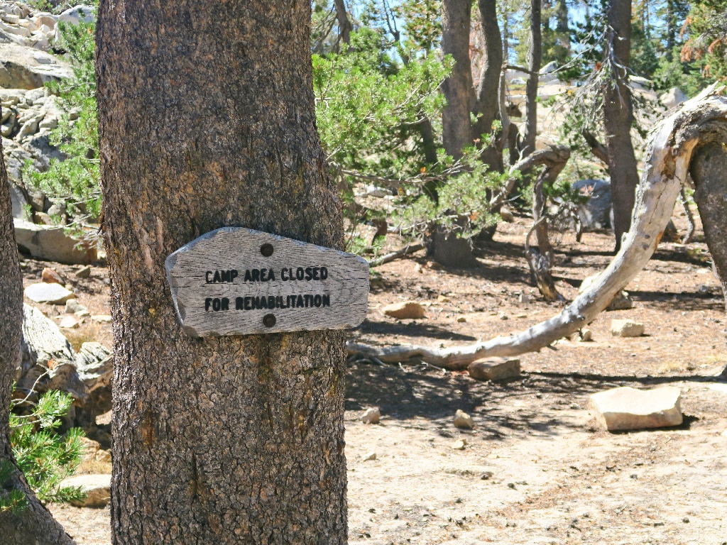
Management doesn't seem to care
§: Well, I had not expected to spend the day without encountering a
human; but that's what happened. I had a good time, although it was a given
that late-season concessions would be made regarding flowers and running
water.
I was pleased finally to view the High Sierra from this side again. Down at Moro Rock (Hike #90) and Monarch Lakes (Hike #217) in Sequoia Park, I could barely see anything through the smog. Subsequently, I could find no online reference to today's fire near Mammoth Mountain.
Continuing past the Jackass Lakes to Burro Lake is an option for those partial
to talus-hopping.
| Scenery |  |
| Difficulty |  |
| Personality |  |
| Adventure | |

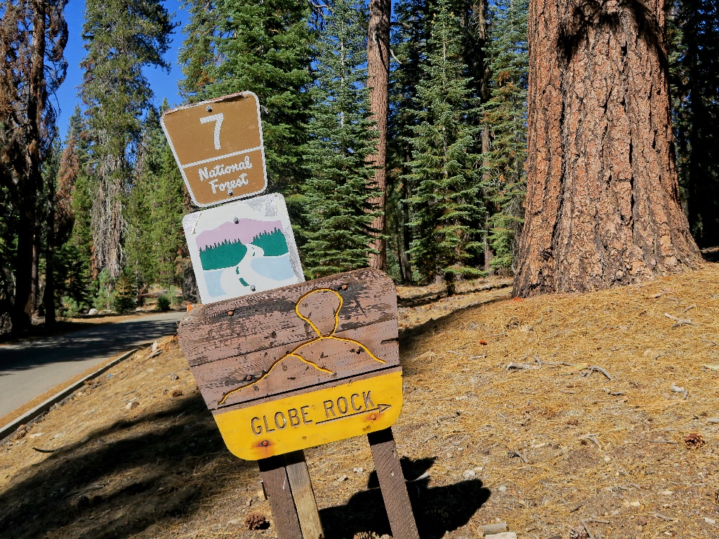
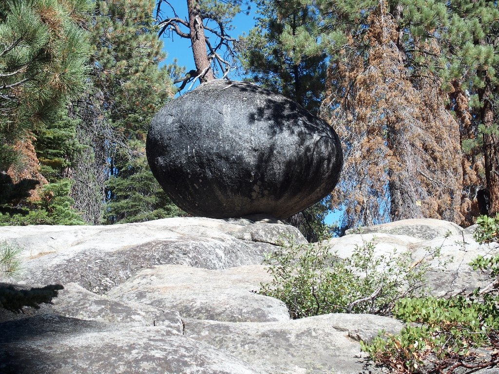
Roadside attraction on the way back to town
