
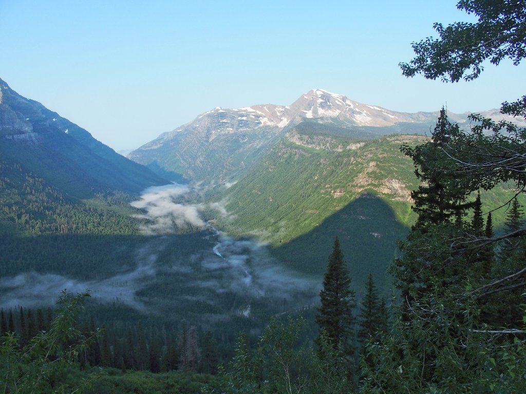
Glacier National Park, Montana
|
Highline Trail Glacier National Park, Montana |
July 28, 2018
My original grand plan for today was to do "The Loop". That involves
parking at a hairpin turn named The Loop, and shuttling or hitchhiking the rest
of the way up to Logan Pass. After that, a mere 13-mile hike would
enable me to access the prized Grinnell Glacier Overlook via the Highline Trail,
then loop down to the car to save a lot of miles. That enterprising effort
would have represented one of my longest walks ever; and in retrospect, perhaps
it's just as well that it didn't work out.
After spending fifteen minutes or so in a futile attempt to catch a ride, I observe that the first park shuttle of the day will not arrive for nearly another hour. Because my new hiker friends Paul and Brenda are scheduled to meet me at Logan Pass, I bite the bullet and drive the rest of the way myself, managing miraculoulsly to grab a parking spot at the big Visitor Center lot at Logan Pass, which already is packed before nine o'clock.
It's a good thing that I did this, because Paul is waiting patiently on the facility's front steps, having been there fifteen minutes or so himself after shuttling up from the other side of the park. Brenda has elected to take the day off.
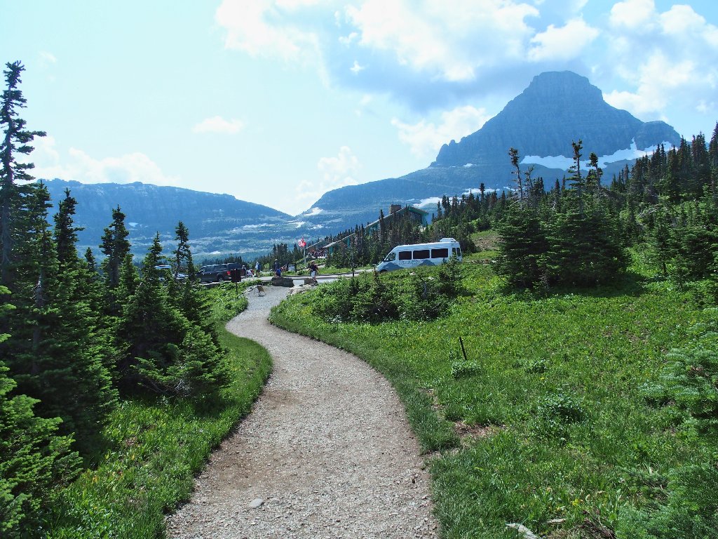
I just drove up from down there
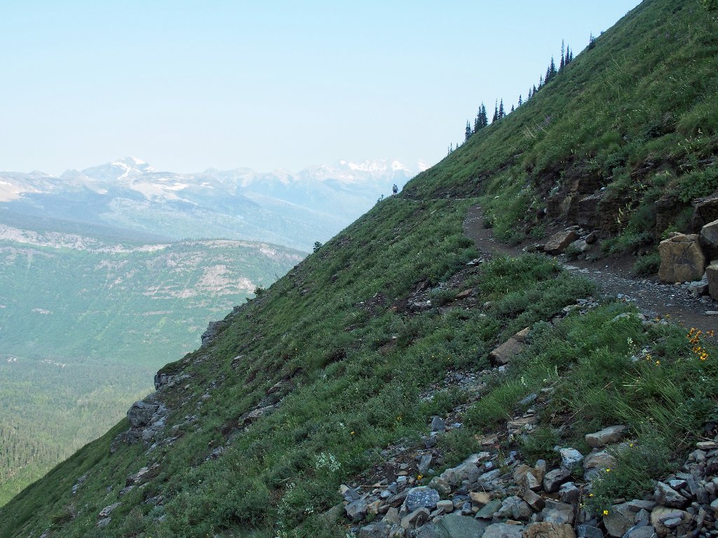
The trailhead is across the highway from the parking lot.
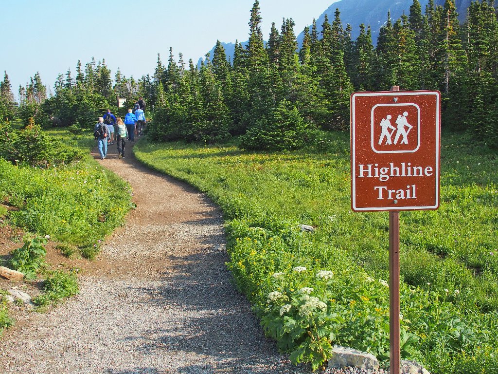
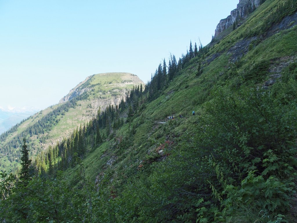
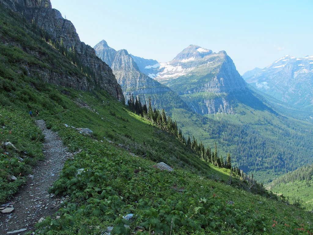
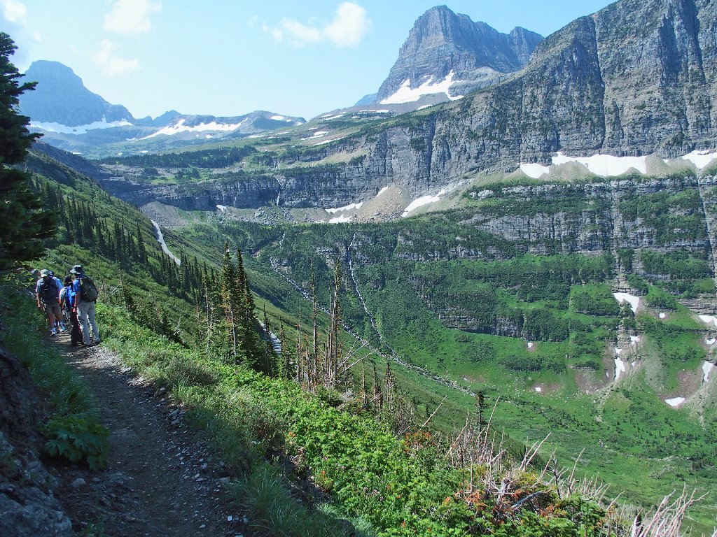
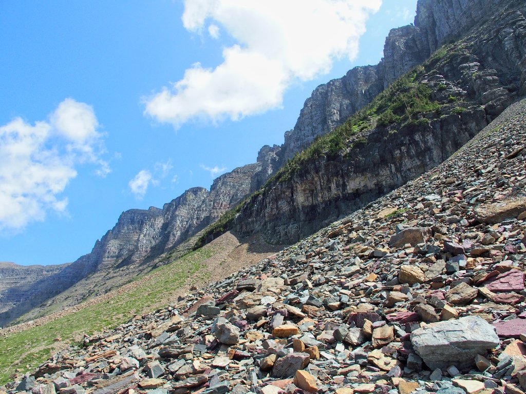
The trail runs just above the highway for several miles
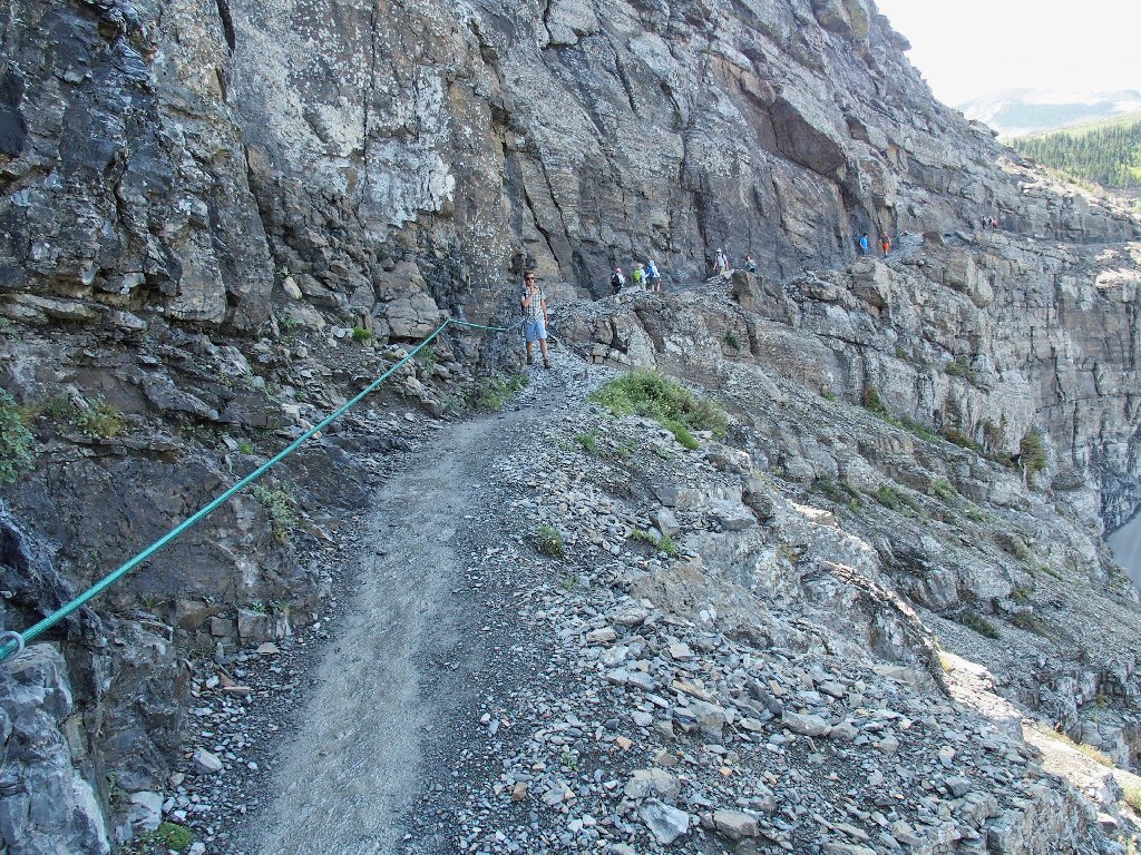
The renowned cable-assist section begins almost immediately; yet at no time do I feel compelled to grab the rubber-covered cable. It seems to have been installed to assuage a few tourists who would be better off on the boardwalk above the Visitor Center; although it could come in handy when others are trying to pass by.
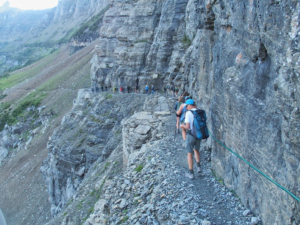
Even here it is crowded as can be
Paul thinks that most of those people were on his shuttle.
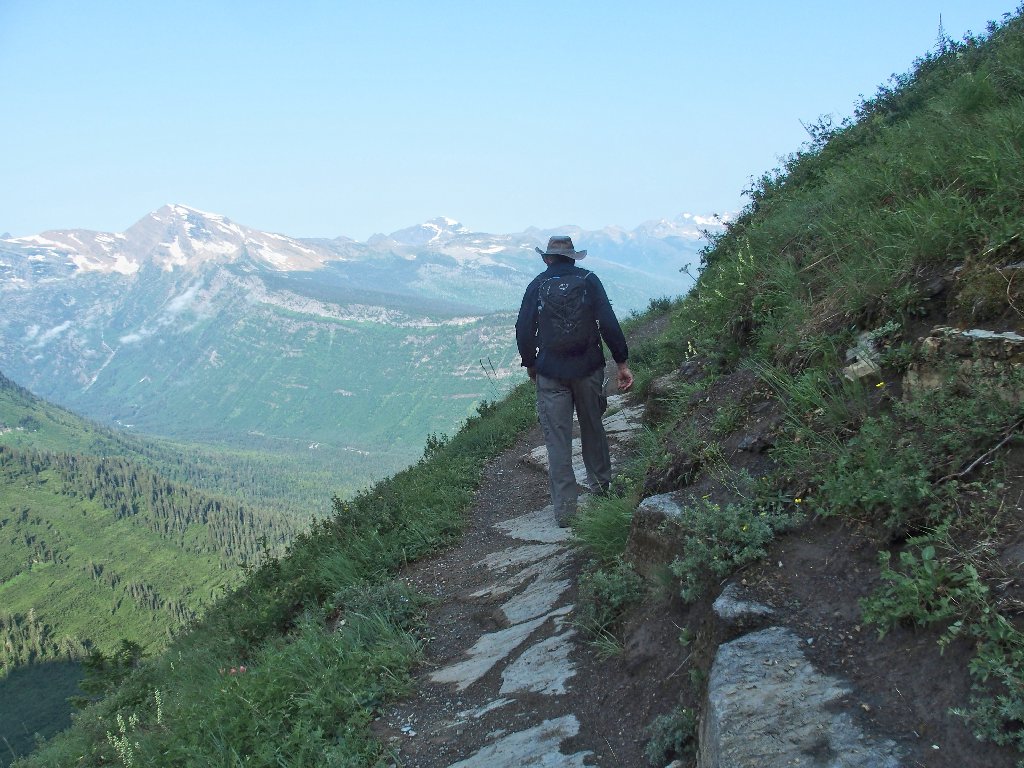
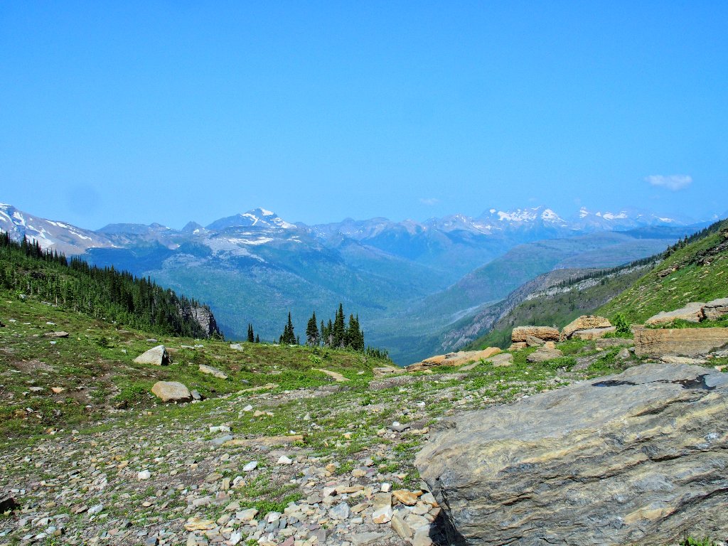
Looking back toward the pass
There is quite a bit of smog
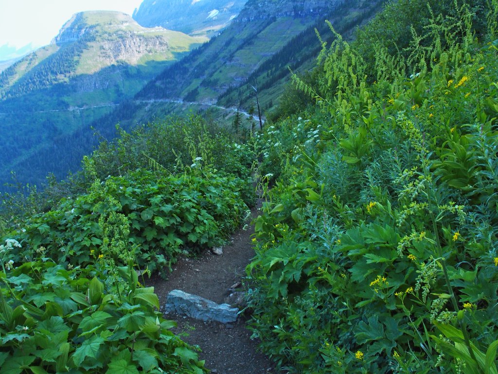
There also is a lot of green stuff
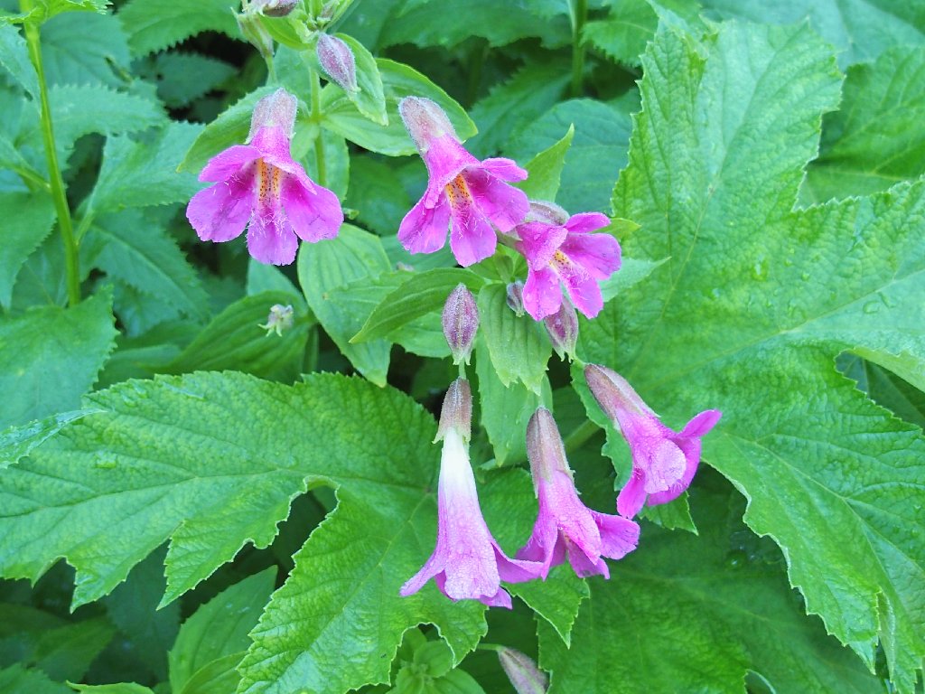
Purple Monkeyflower
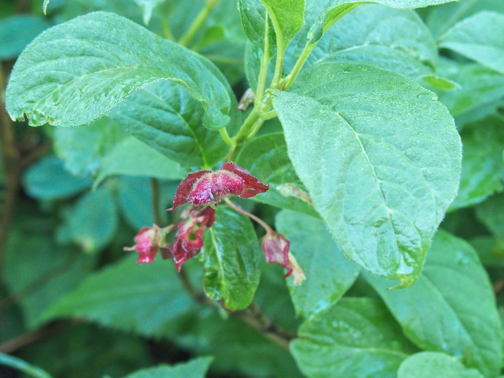
Honeysuckle
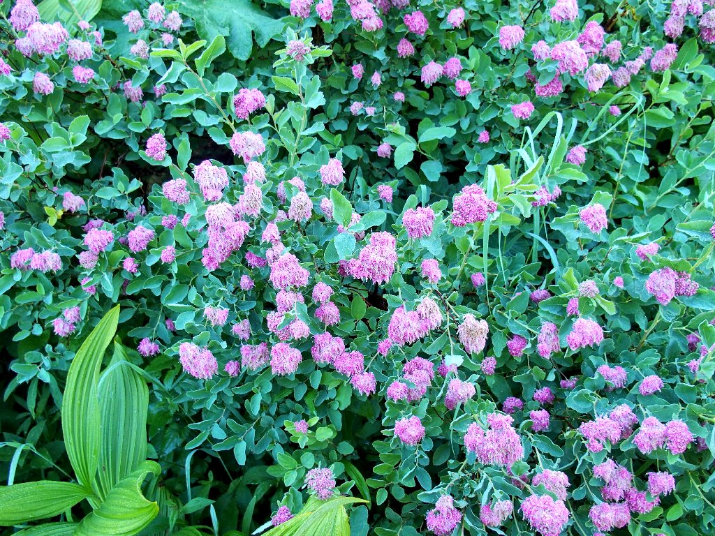
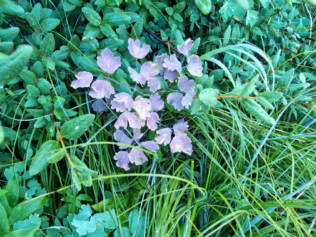
Rose Spiraea
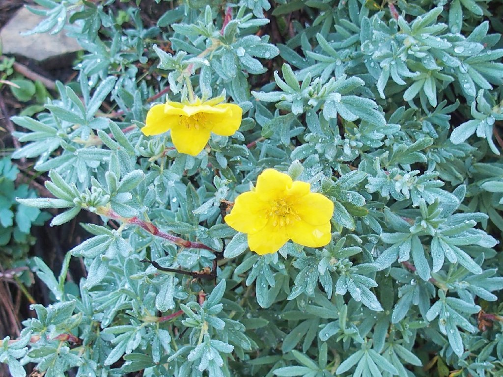
Shrubby Cinquefoil
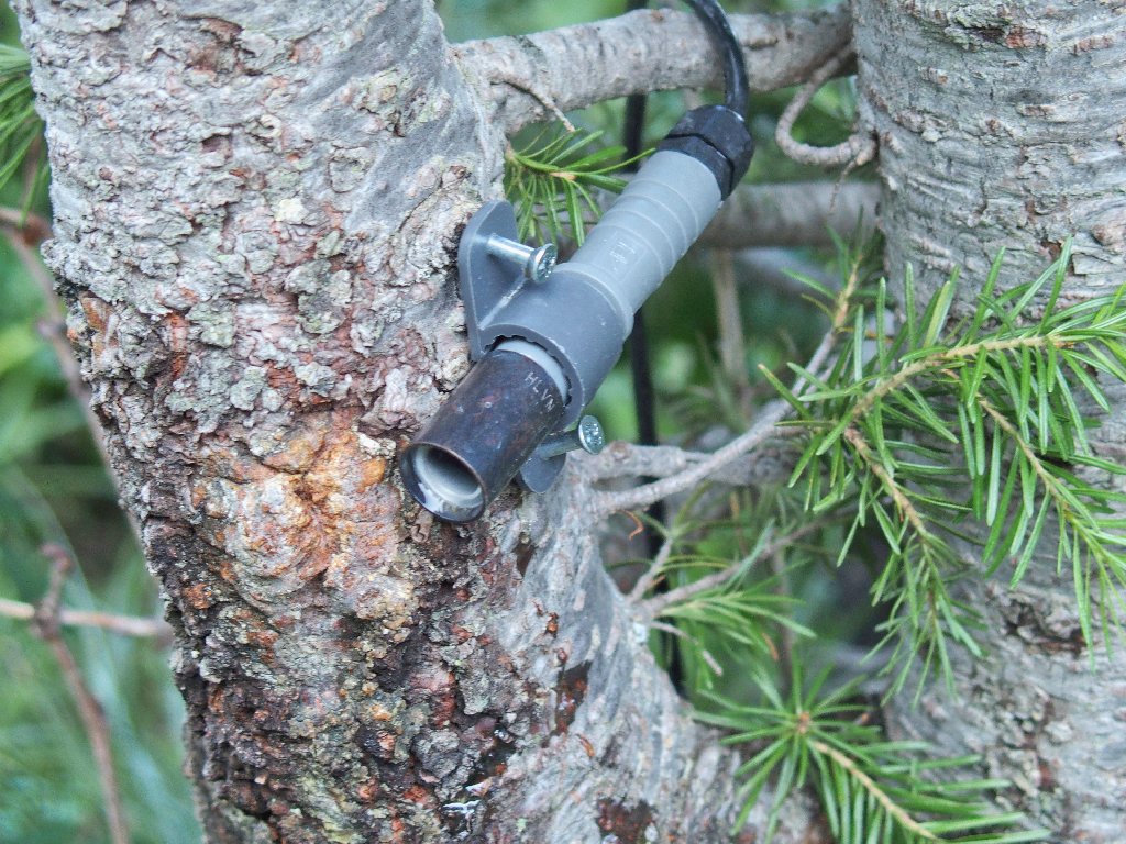
A traffic counter, I presume
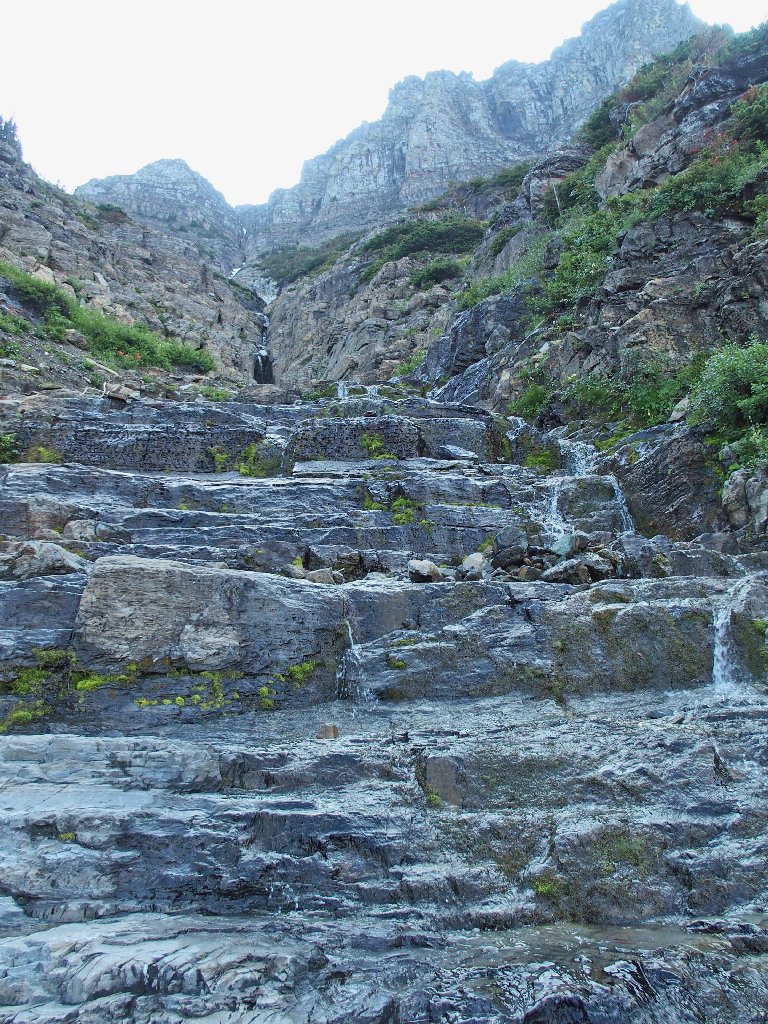
It's nearly dry
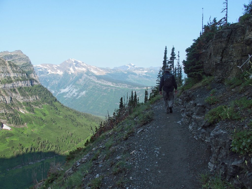
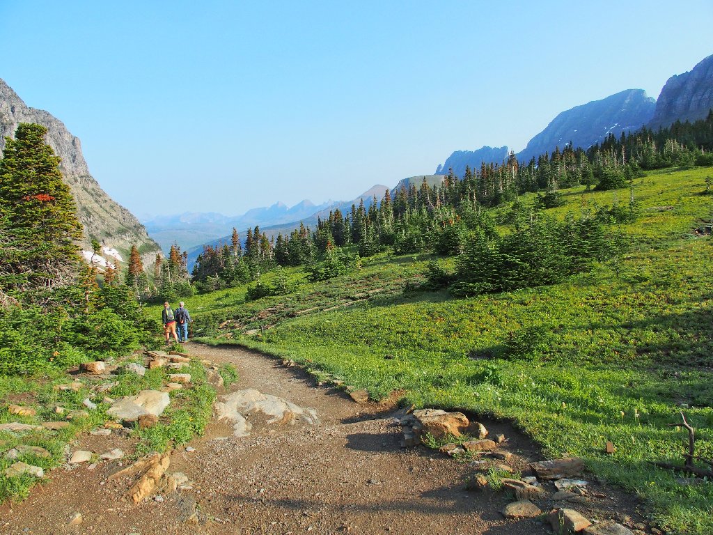
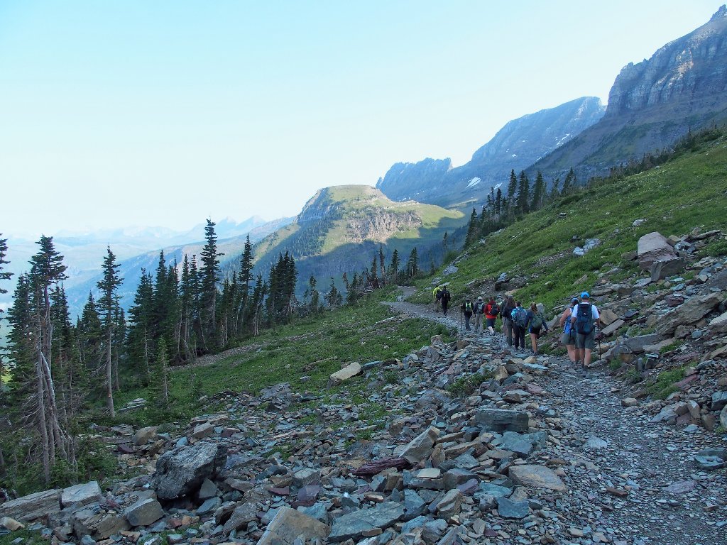
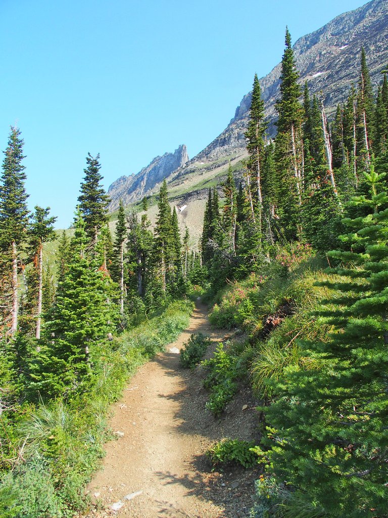
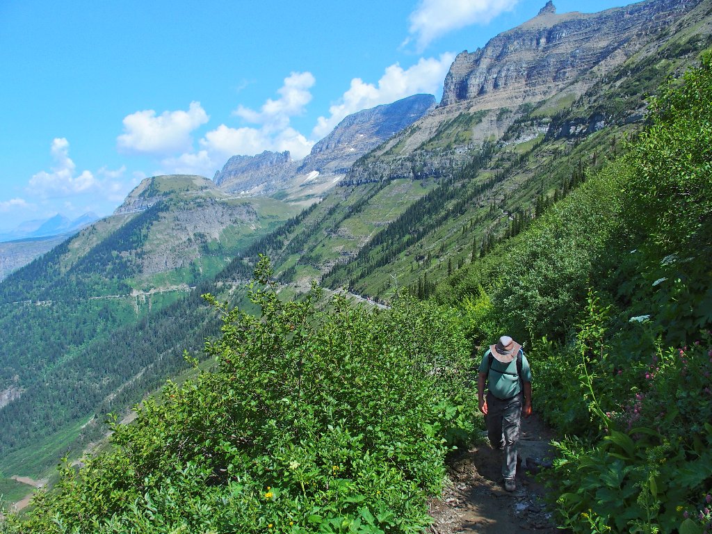
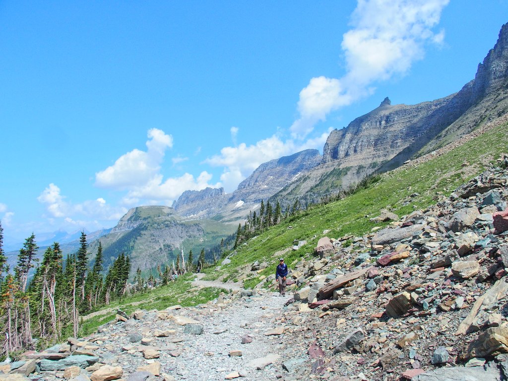
Onward and upward
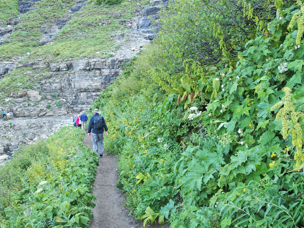
The non-stop flora are amazing
This is pretty neat
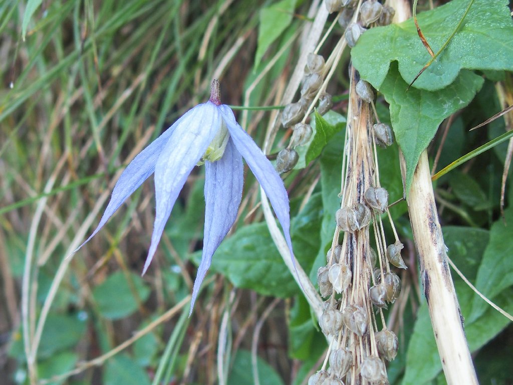
Rock Clematis
Meadow-rue
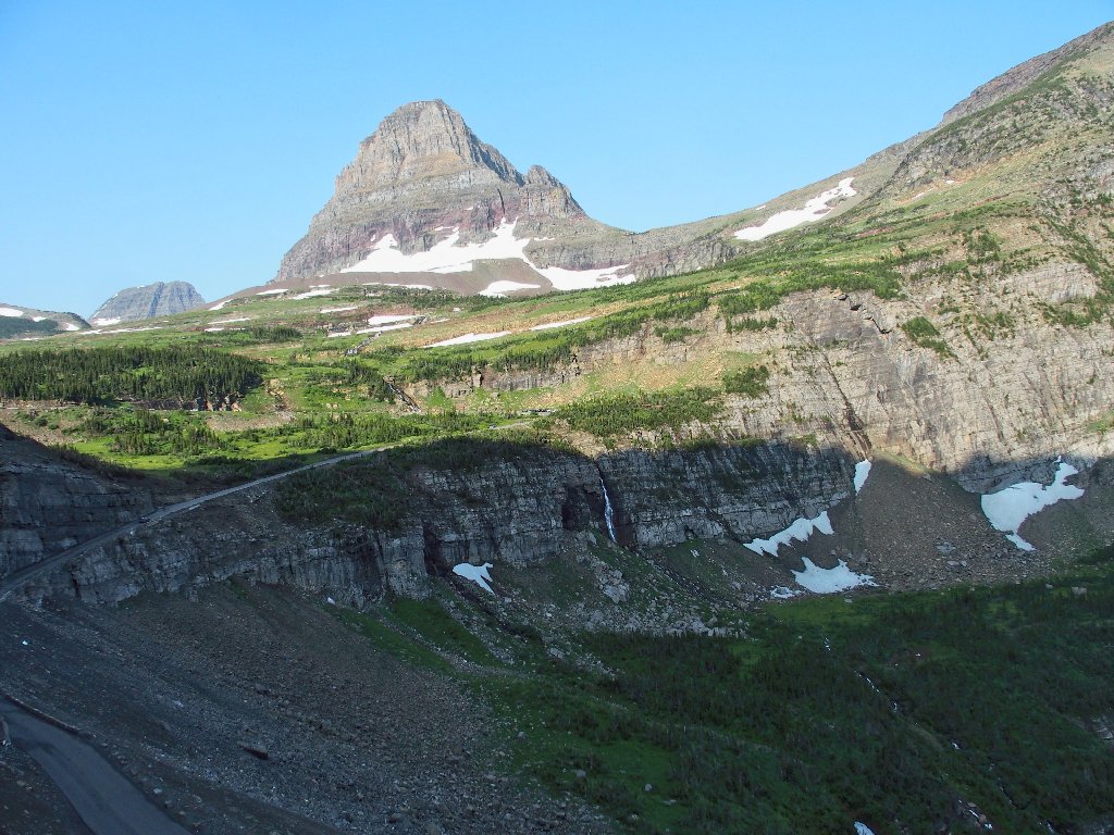
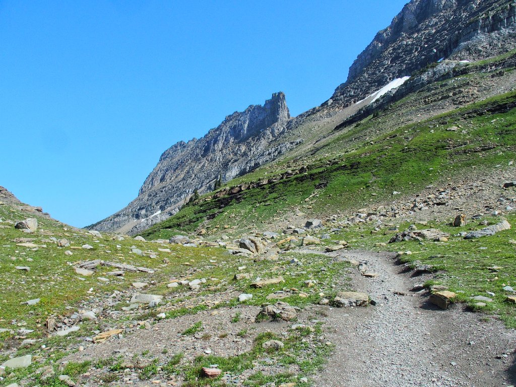
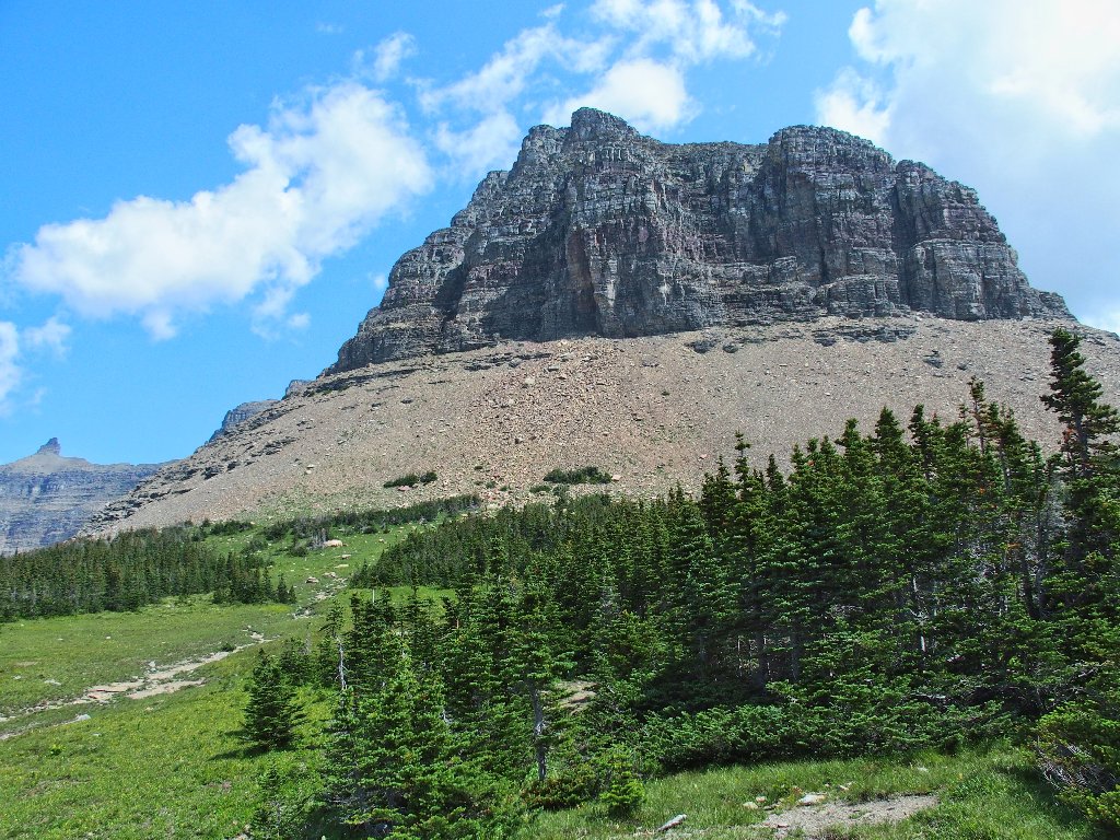
The Haystack looms
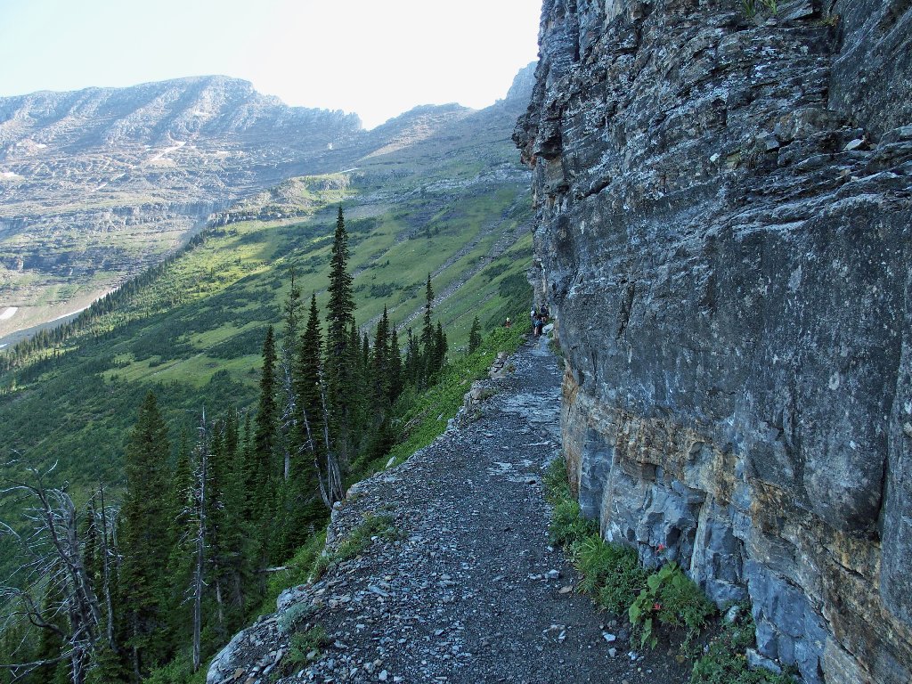
No cables here. I guess the tourists don't come this far.
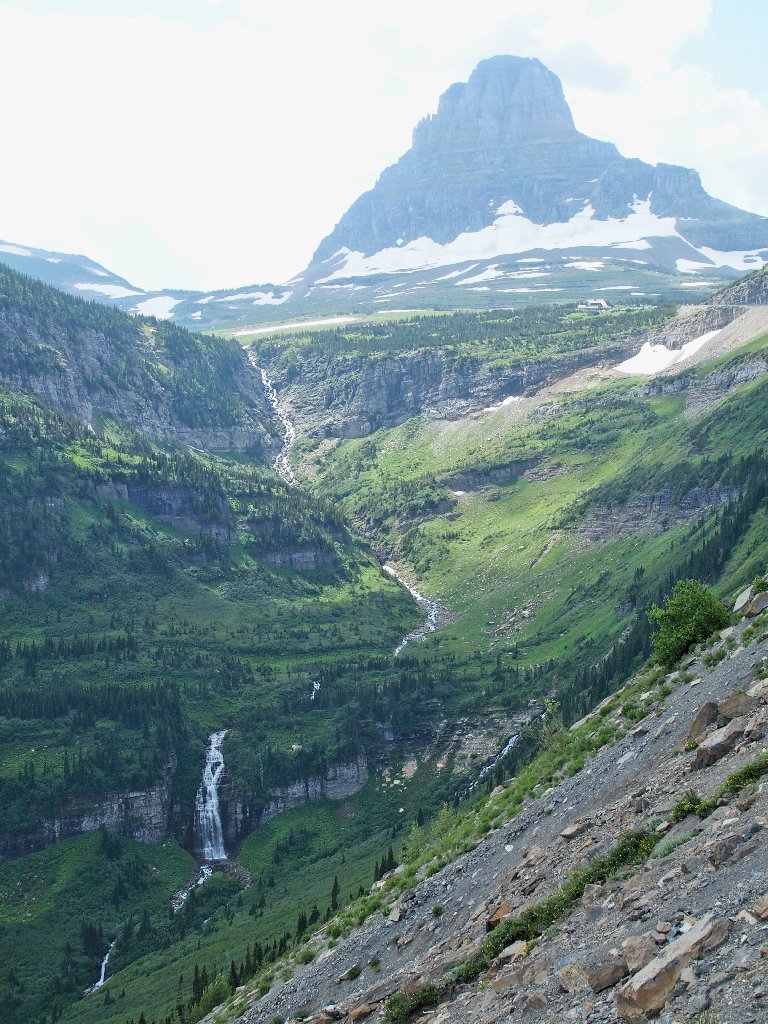
Below is a scene that I passed with some dismay on the drive up.
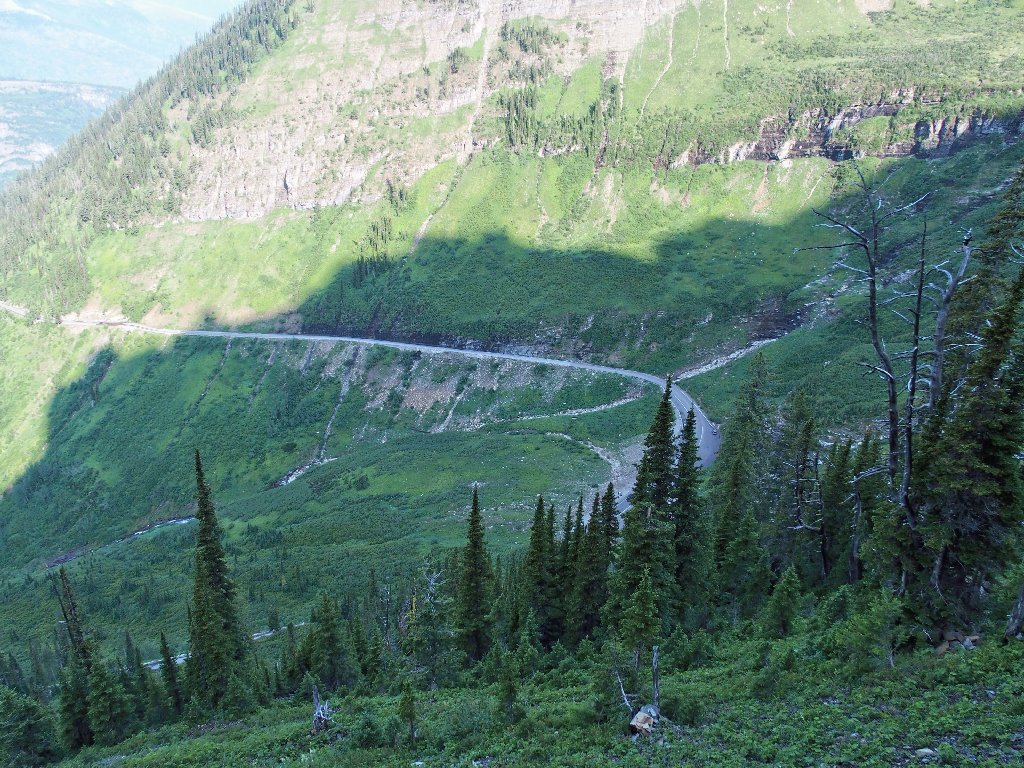
My favorite place on the Going to the Sun Road is all dried up
The dark area at roadside (image left-center) is the Weeping Wall, which still is weeping a bit, unlike the creek.
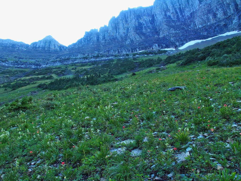
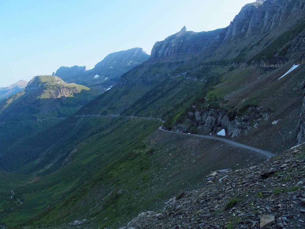
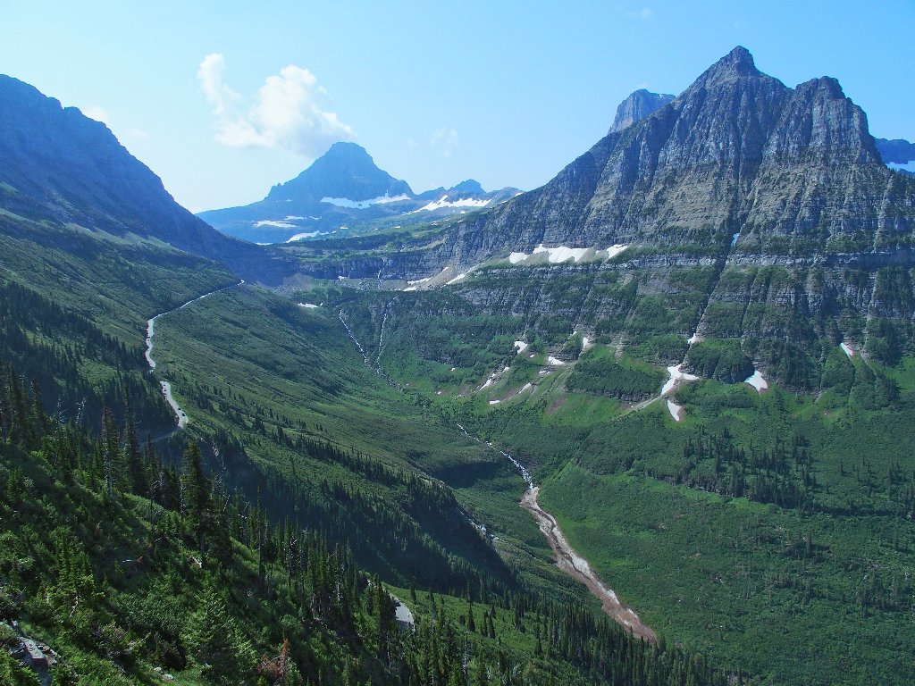
The incomparable Garden Wall doubles as the Continental Divide
That unique wall of rock is more photogenic from the other side. The amazing colors stand out in the sunlight, whereas today the cliff will be in the shade until afternoon.
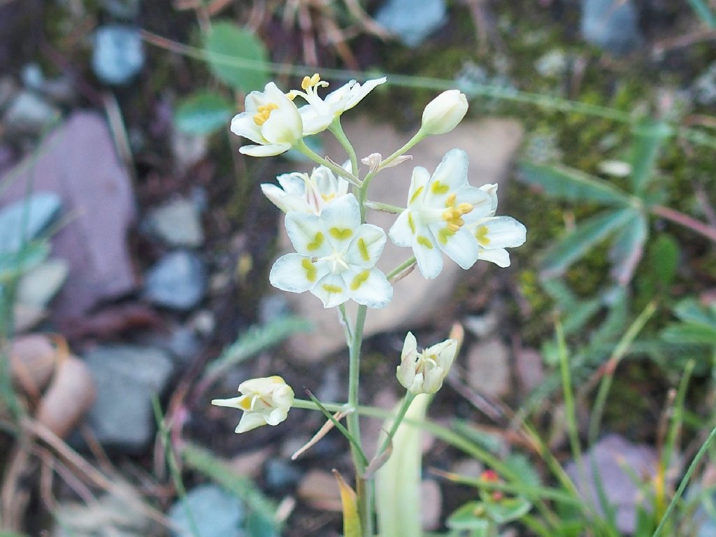
Mountain Death Camas
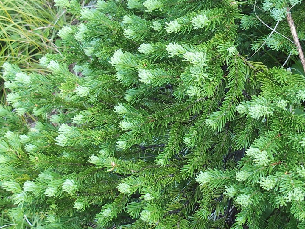
New growth on the Subalpine Fir
There is a giant switchback ahead
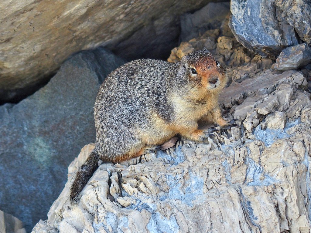
"Hey, fella! Is that a peanut in your pocket?"
No, but I'm happy to see you anyway.
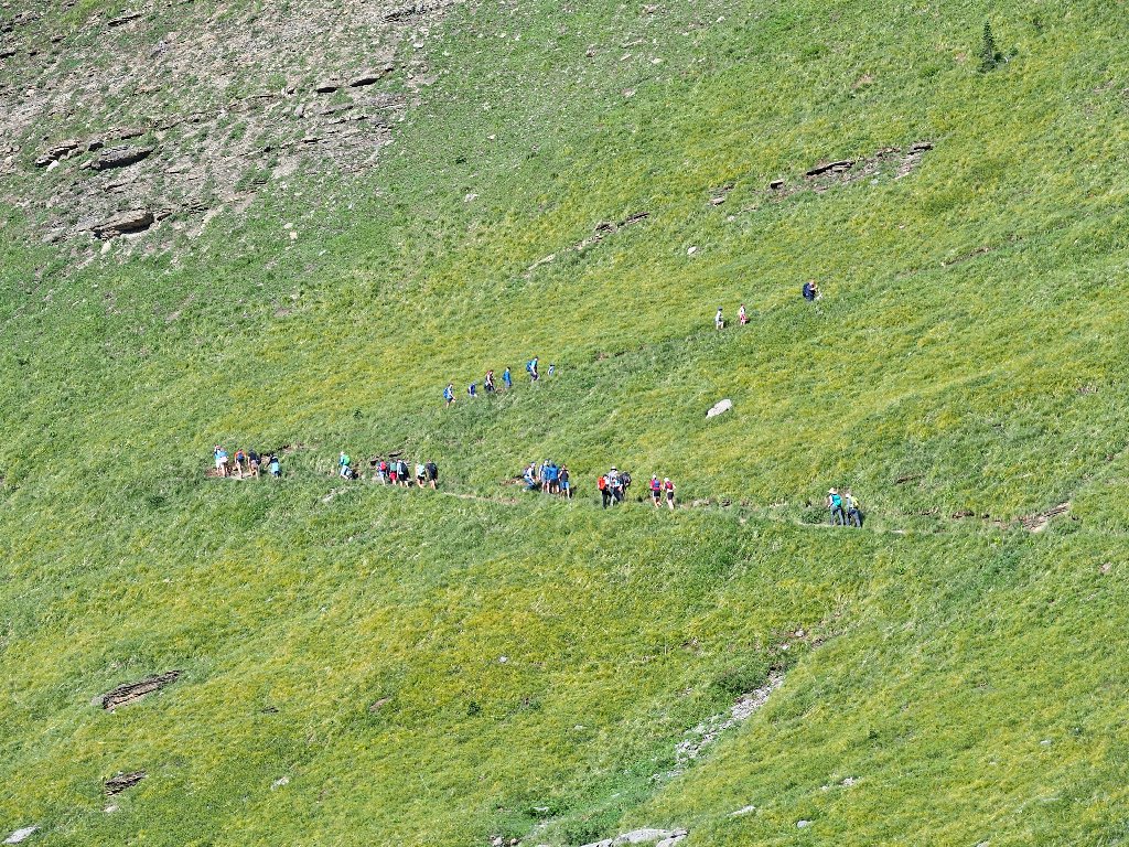
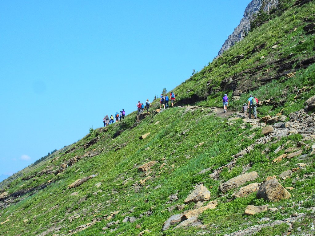
Everyone on that bus must be up here
Where are all those people going? They cannot all be staying at the Granite Park Chalet that's another three miles up the trail. Many of them are toting only daypacks.
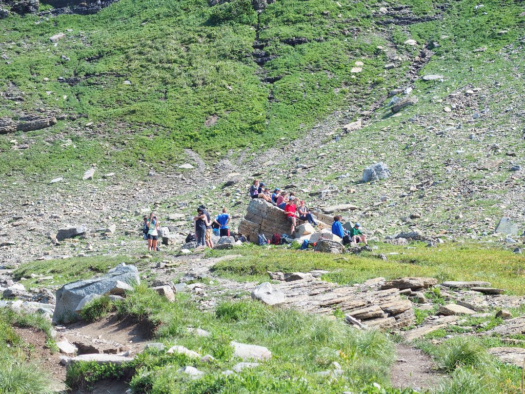
Everyone takes a break at Haystack Pass
The smog has abated somewhat to the north
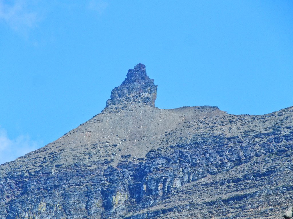
I had thought that we might climb the Haystack, for I have read about it. There is no seemingly established route, however, and signposts are admonishing us to stay on the real trail; so I guess that's what we'll do.
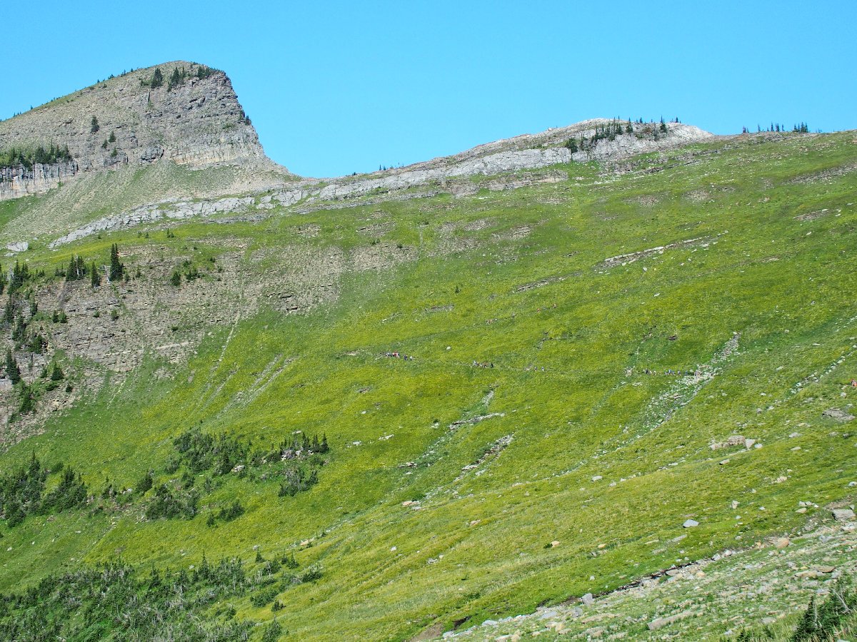
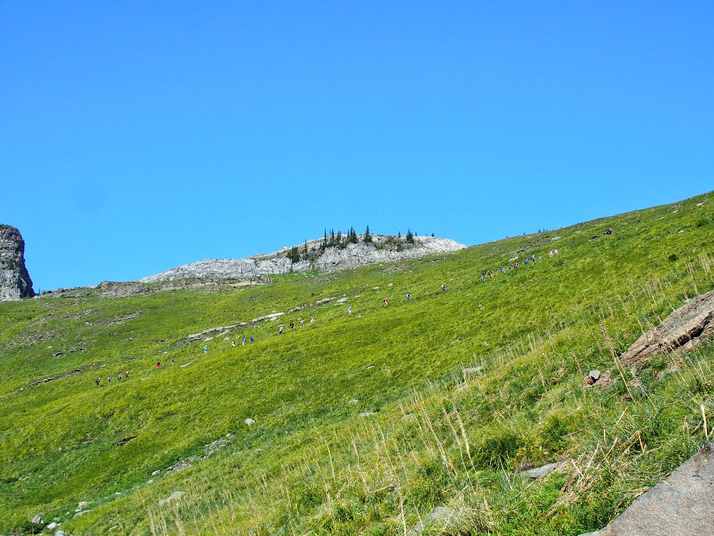
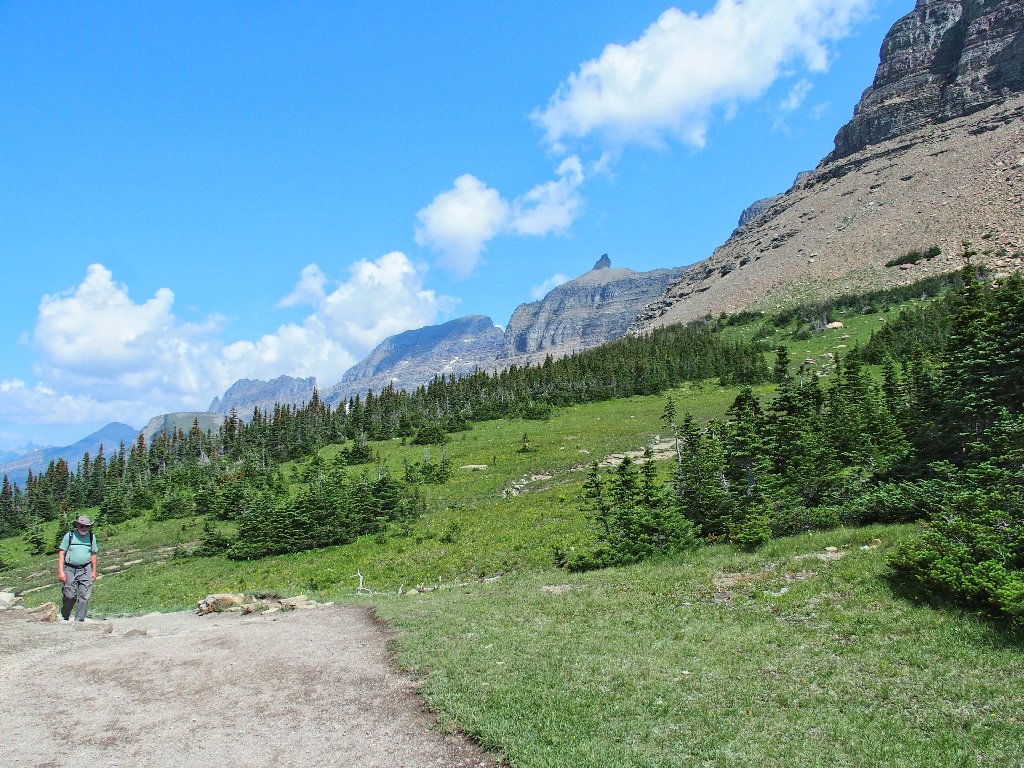
It looks interesting ahead
They are on the move again
It is decision-time. Continuing northward would be pointless for Paul,
because he is looking at a seven-mile trek as it is, and there is no
particular destination farther up. Paul says as much himself. I could
continue The Loop myself and leave my companion to fend for himself as was the
original plan; but my car is in the wrong place, and I'm not sure that I have the
energy for it in any case.
I might well be giving up my last-ever chance to access what just might be the finest view in Glacier Park, but I guess that the decision already had been made. It's time to turn back.
It has been only 3½ miles, but it sure looks like more from here
Crummy lighting on Bird Woman Falls
I find myself photographing the same scenes over and over, because that's what there is. When an entire route is more or less laid out in front of one, the options are limited.

A nice look back
Not very interesting today
Paul and I relieve the relative tedium by getting to know each other a little better. We first met just a week ago.
Somewhere in here my left shin begins acting strangely, and I didn't even smack it on anything. It doesn't really hurt, but something isn't right.
Back in the green belt
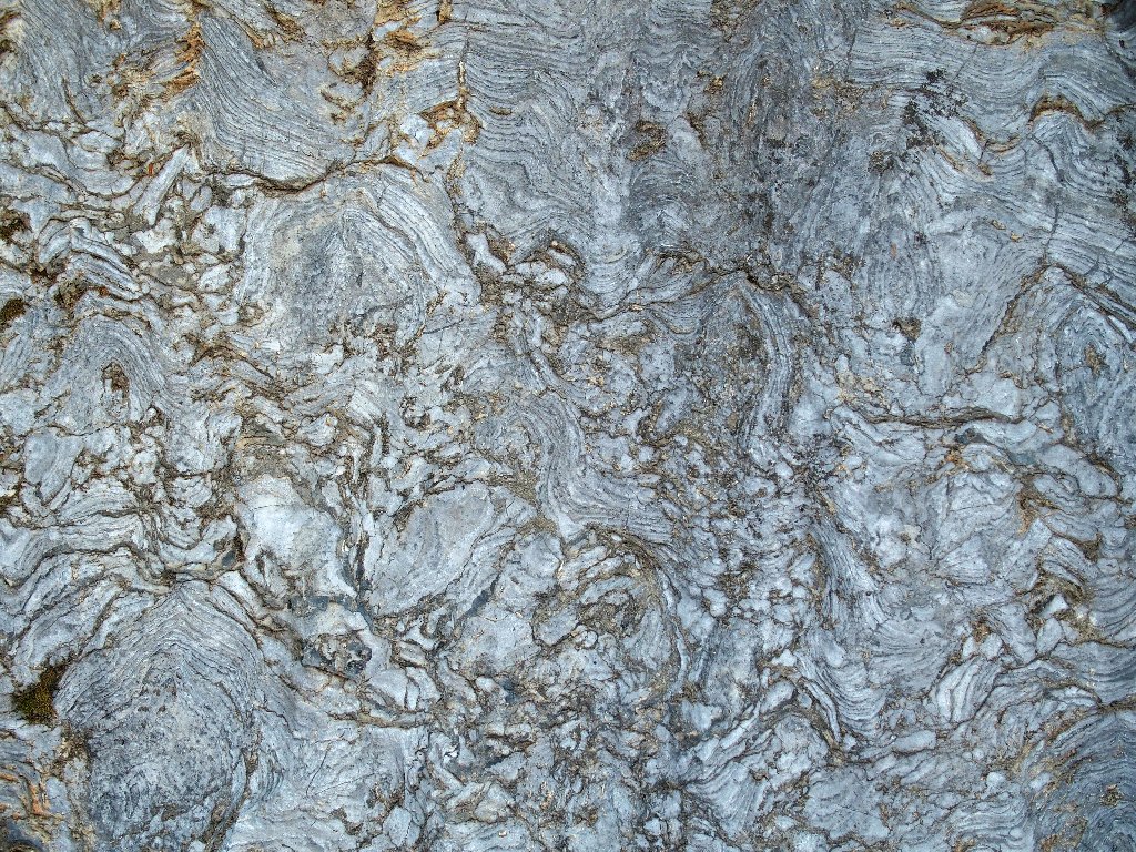
Textures in the rock
We have come quite a ways
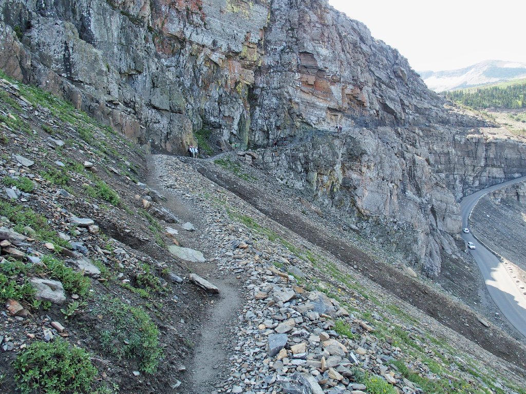
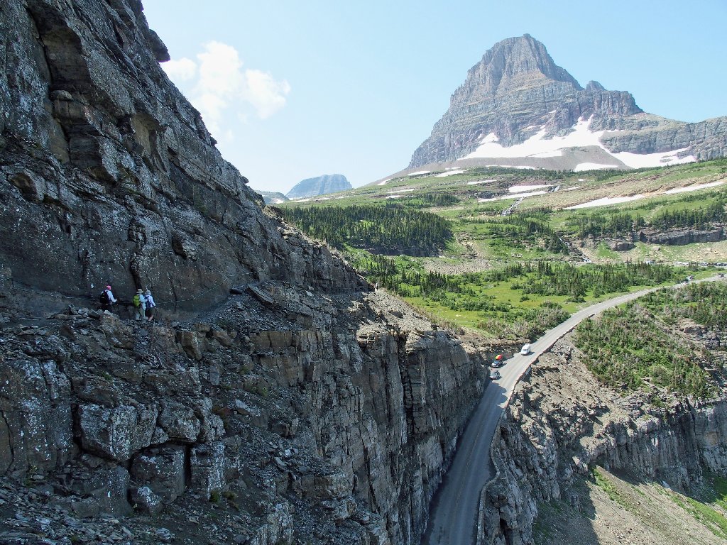
Approaching the cliff section
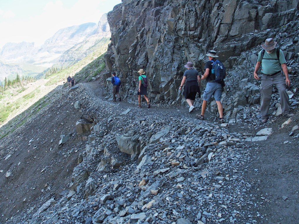
Paul waits for others to pass
As before, no rubberized assistance is required
We could have used a cable like that three days ago over at Crypt Lake, though, where the trail was less than half as wide and was just as far down.
Clements Mountain sees all
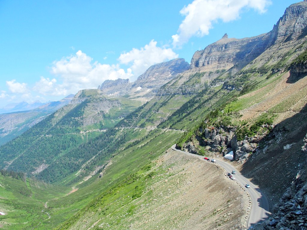
The entire route is sunny now
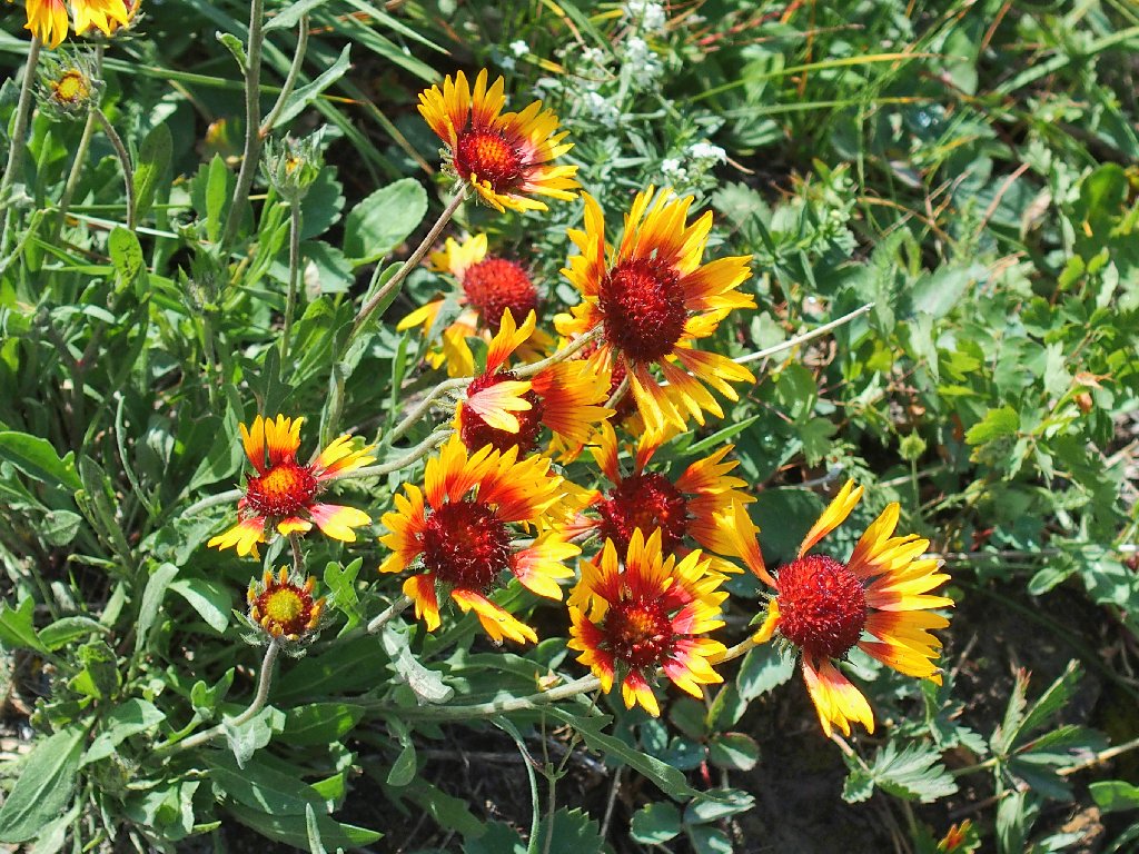
Great Blanket Flower
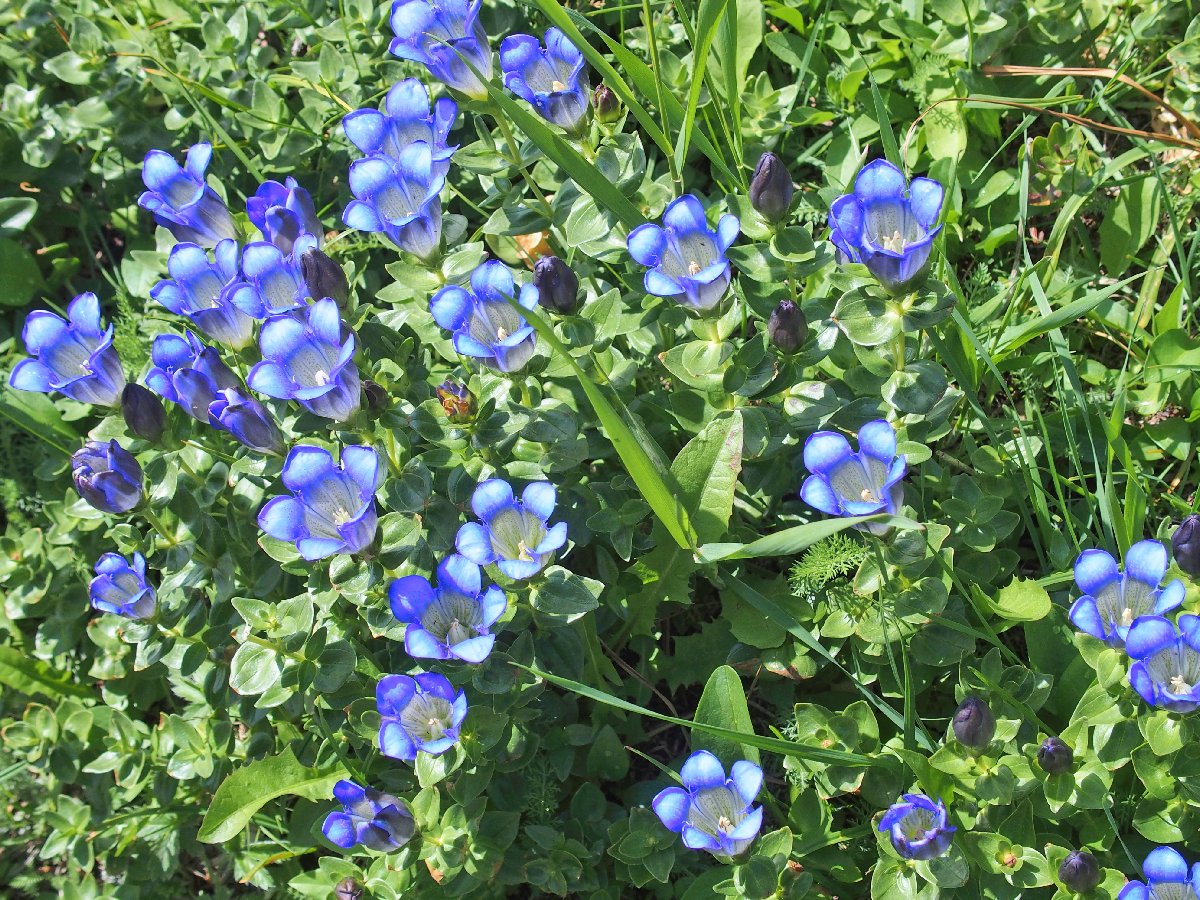
Rainier Pleated Gentian
Bishops Cap
Finishing up
Back at the Visitor Center, I discover that I cannot climb the stairs, except
with great difficulty! My left leg simply will not hold me up except when
I'm walking flat. This is highly distressing — not just because
I won't be able to do any more hiking today, but because this malady is a total
mystery. Is this what getting old is like?
§: Well, I won't let a gimpy leg affect my assessment of this hike,
because the actual trail seemed to have nothing to do with it; yet other factors
left me less than ecstatic about this walk.
Although non-stop beautiful scenery was there for the viewing, it
largely never changed. (Can there really be too much of it?)
This trek would have been more enjoyable had I not been compelled to walk it
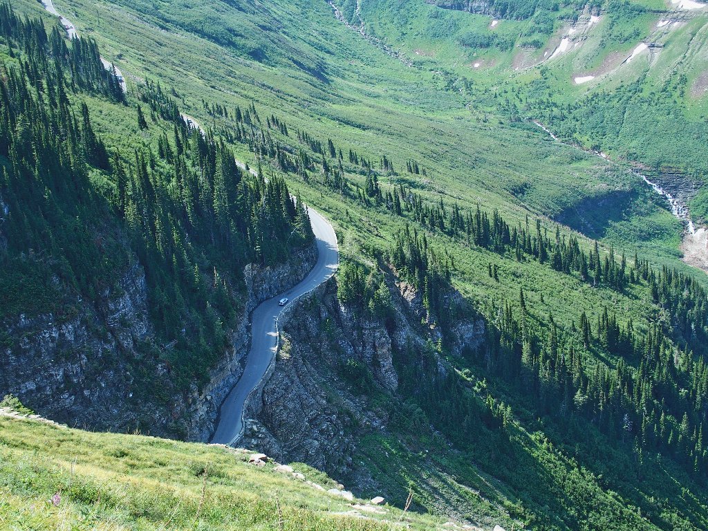
twice. Also, the everpresent highway and its accompanying sounds were something
of a negative influence. Oh, it was fun to look straight down upon the moving
cars for a while; but that got old. Admittedly, the trail beyond where Paul
and I stopped would have gotten away from the highway eventually. Finally,
dried-up creeks always have a negative effect on me.
On the brighter side, the flowers were amazing. Excepting the cliff
area, it was non-stop greenery the entire way. Perhaps that's
why they call it the Garden Wall.
Should you take this walk? Absolutely. But once should be plenty.
As an alternative, drive half a mile east of Logan Pass, and make your own way up Lunch Creek to two waterfalls. Now that's a hike I would happily repeat, and a parking spot probably is available.
| Scenery |  |
| Difficulty |  |
| Personality |  |
| Flowers | |
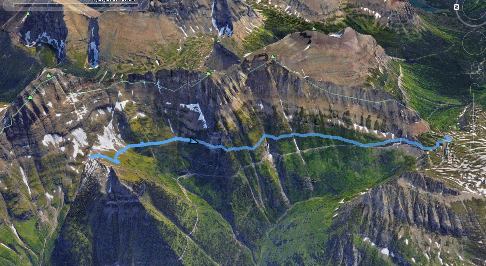
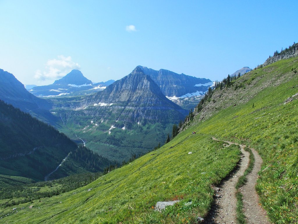
The green line is the Continental Divide

As Paul and I munch on sandwiches behind the Visitor Center, a man on crutches returns from the Hidden Lake Overlook Trail, and receives some applause. He is recovering from a climbing accident in Colorado.
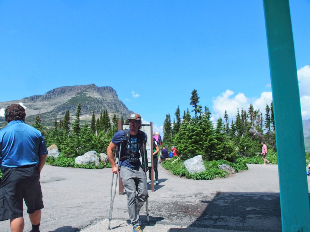
"It took only three and a half hours!"
Well, that beats my time; for now I cannot do it at all — at least,
not without borrowing those crutches. Pshaw. I had so wanted to share
the unique boardwalk route with Paul, and commune with the mountain goats as well.
Looking up forlornly at the Overlook Trail
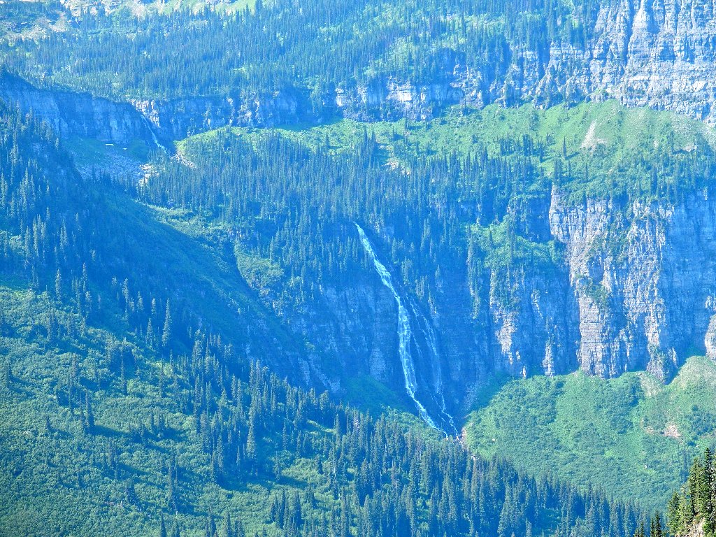
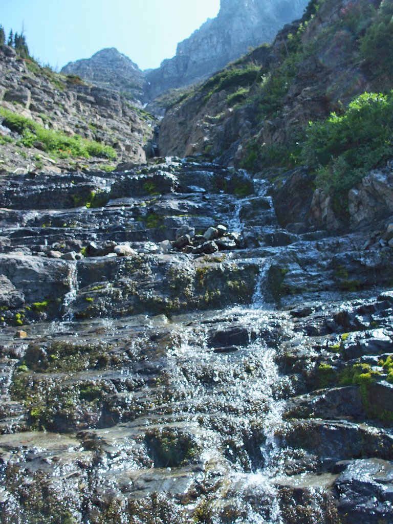
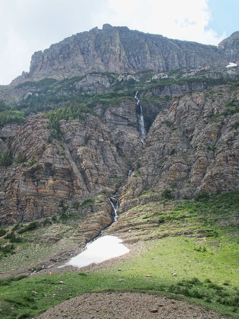
It is only twenty miles down to Paul's digs, so I drive him back rather than make him wait for another shuttle. Then I must retrace the entire Going to the Sun Road to my own lodging. Along the way, I create a parking space from nothing in order to photograph a gorgeous, unpublicized waterfall:
There is a little turnout nearby that provides a side-view, but not one as good as this.
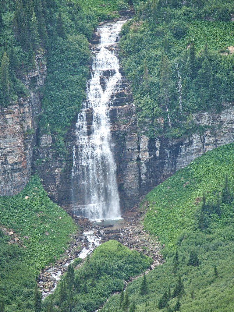
These exquisite falls deserve a name
Right next to this one, Lunch Creek runs underneath the highway and down, creating another marvelous cascade that can be viewed only on Google Earth. I guess that this is how it works when there are so many waterfalls that they don't know what to do with them.
