
Waterton Lakes National Park, Alberta
|
Crypt Lake Waterton Lakes National Park, Alberta |
July 25, 2018
In 2014, National Geographic rated today's venue as one of their
Top-20 Most Thrilling Hikes in the World; and back in 1981 it
also was voted by some group or other as the Best Hike in Canada.
That's good enough for me; and besides — it sounds like my kind of fun.
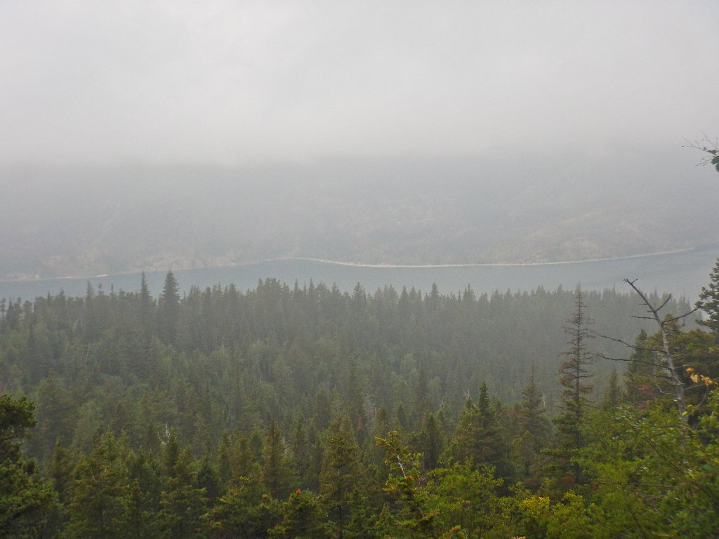
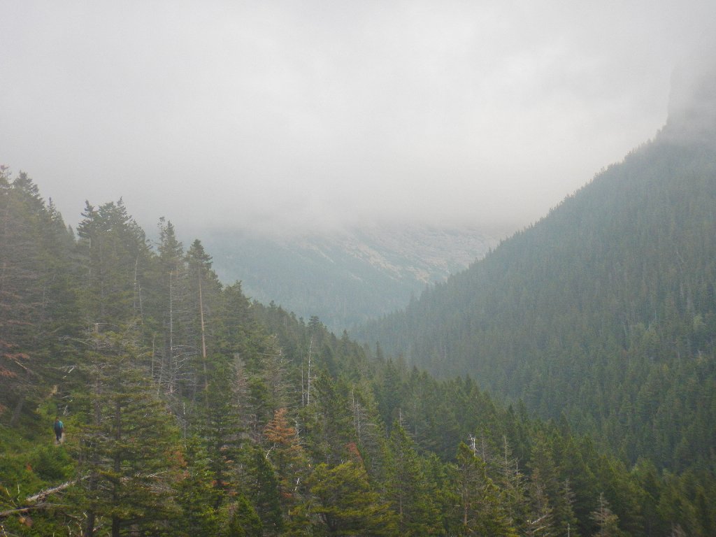
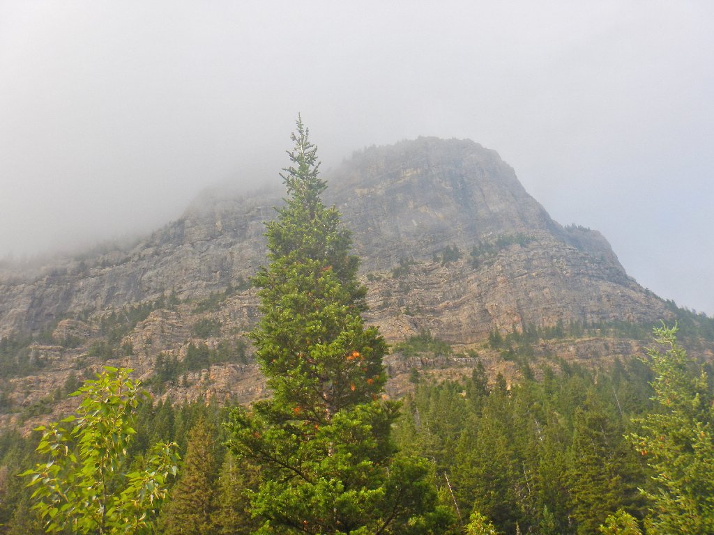
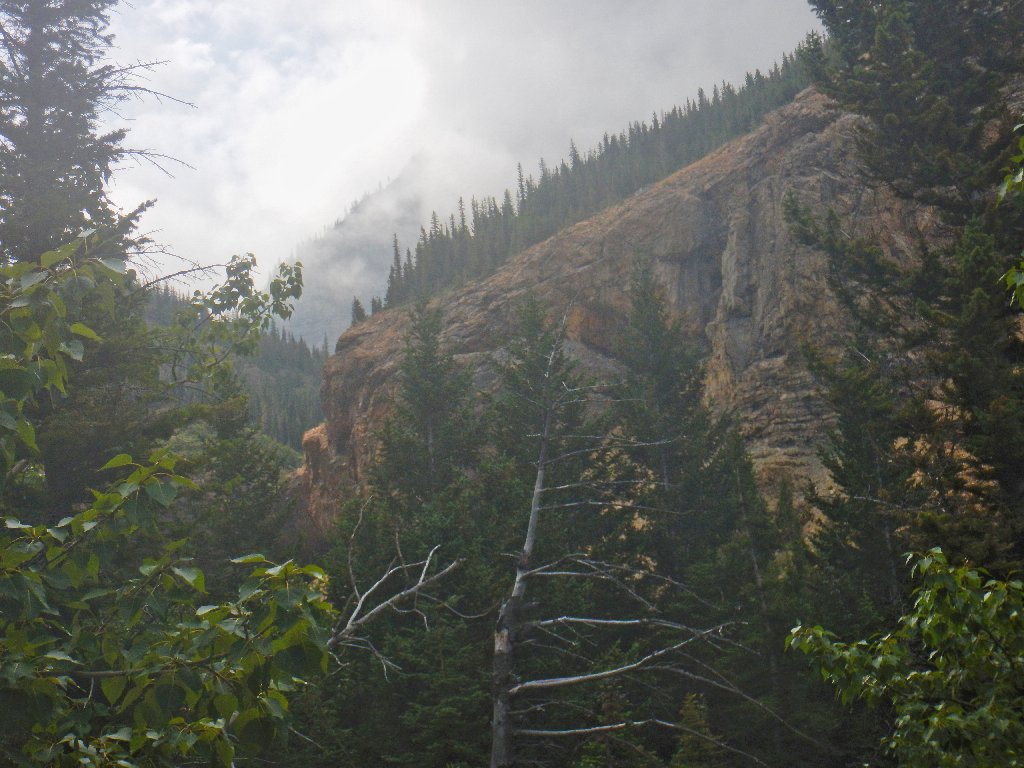
Unfortunately, the area is socked in to the extent that we cannot even see the hills around us. Paul, Brenda, and Dave are willing to give it a go anyway, however, because the weather might be even poorer tomorrow.
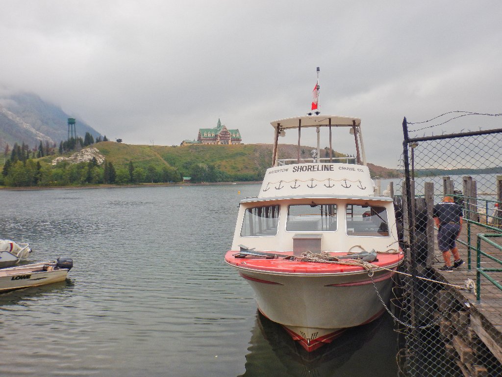
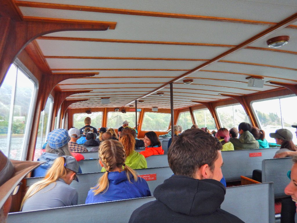
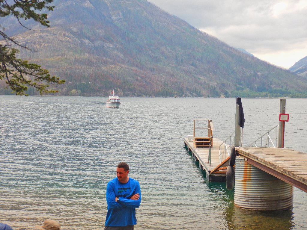
The boat taxi costs us $26 each, round-trip
Actually, that's a better deal than one gets up at Echo Lakes in the Sierra, where the price is $24 American, and on a much smaller boat.
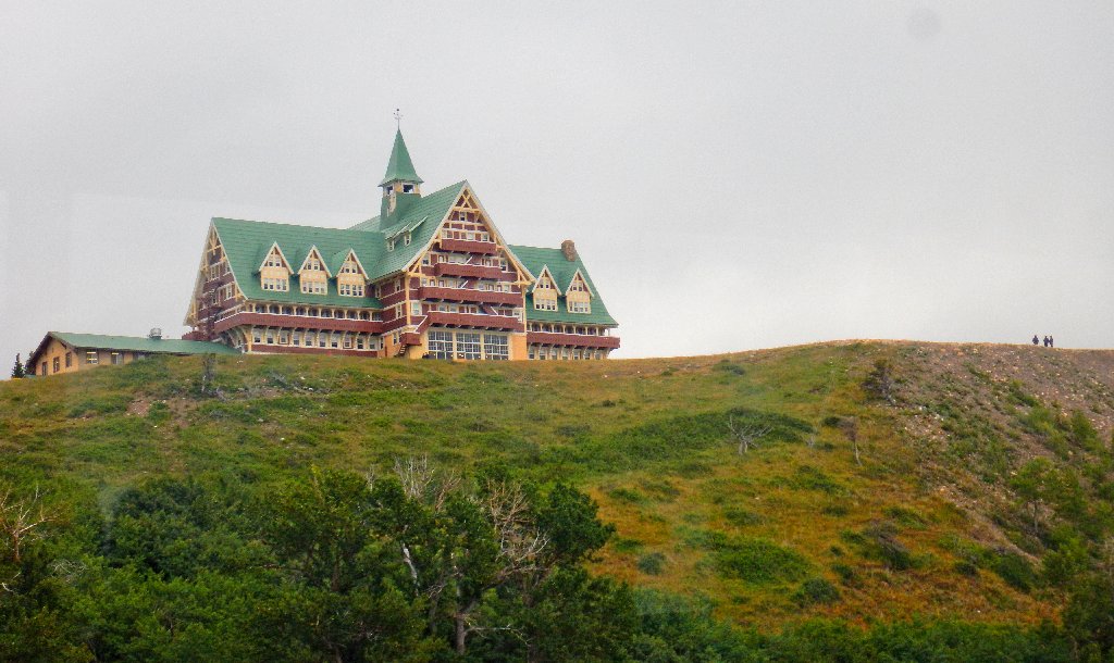
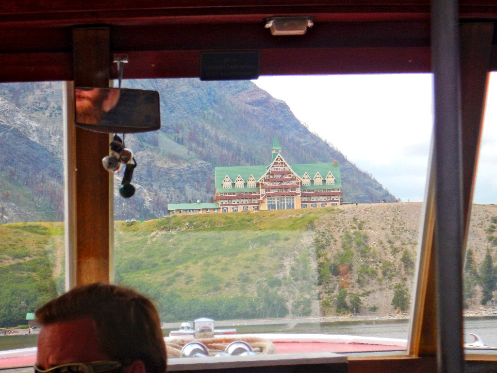
The ubiquitous Prince of Wales Hotel
(Nostalgia alert): It will be twenty years ago tomorrow since I proposed to My Barbara right where those people are standing. How about that?
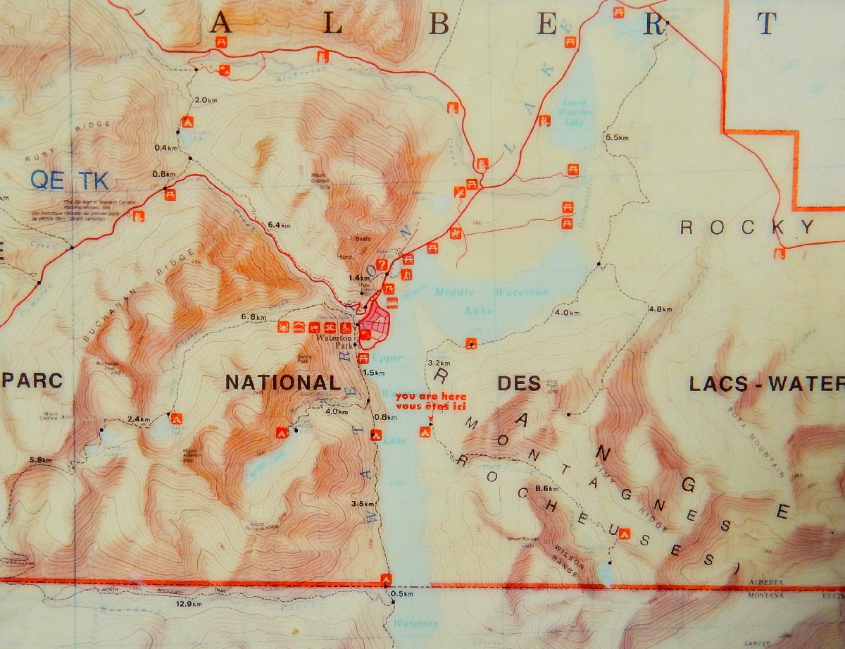
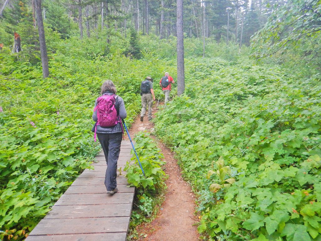
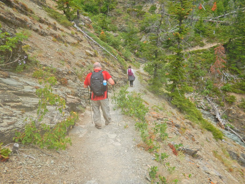
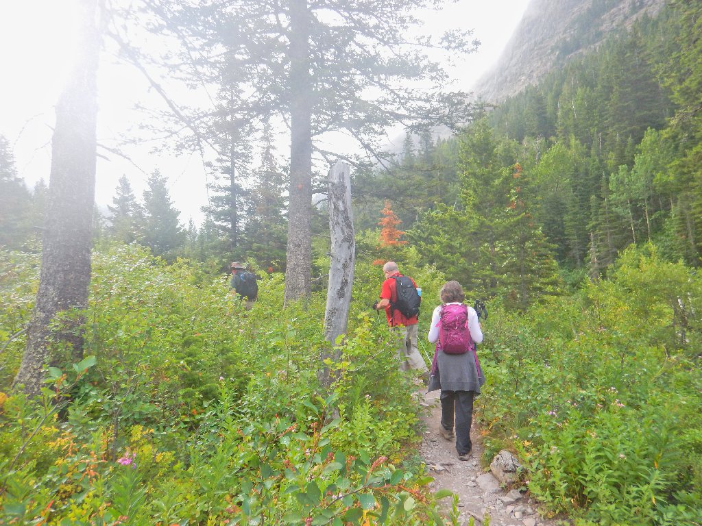
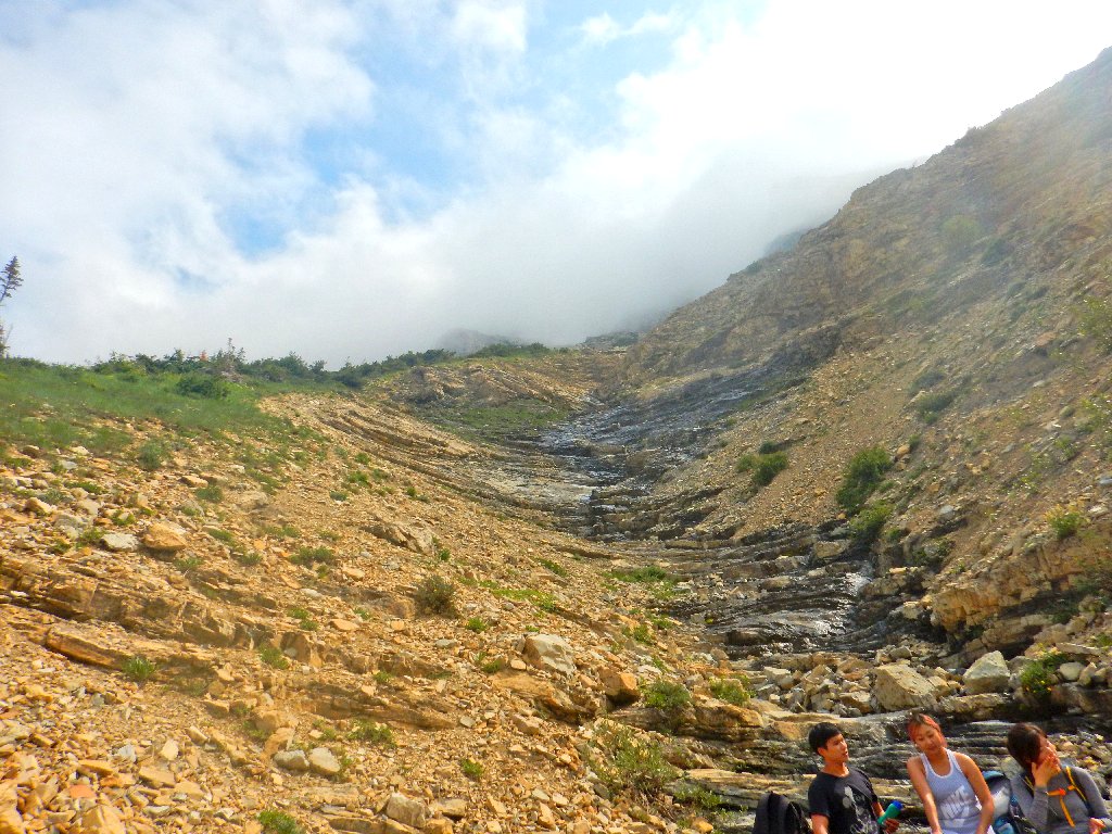
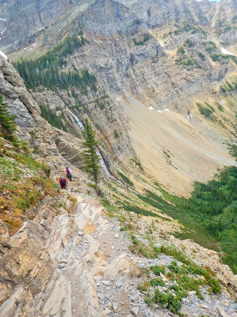
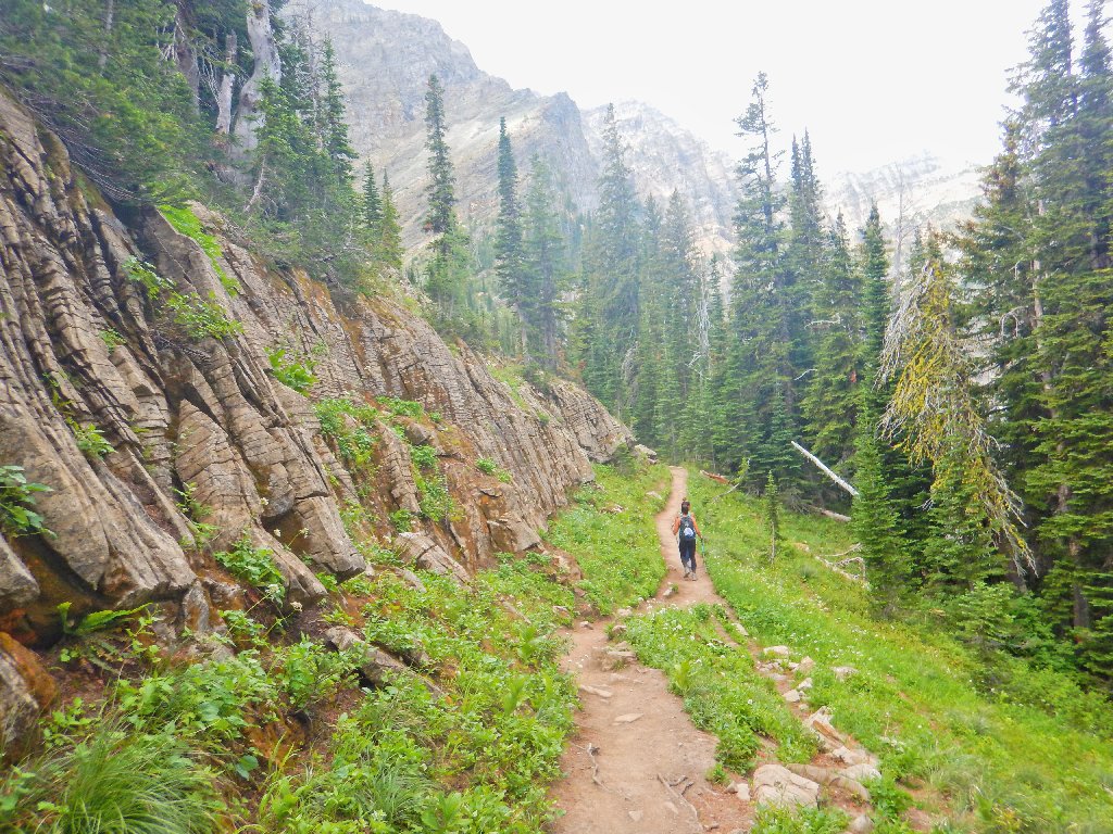
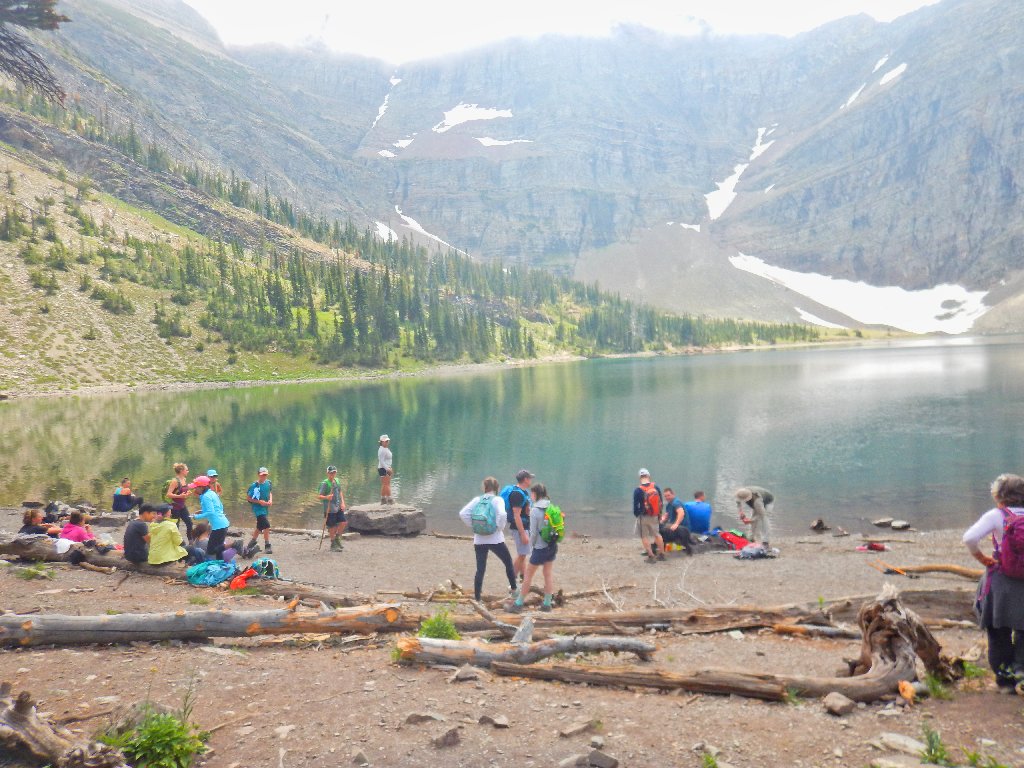
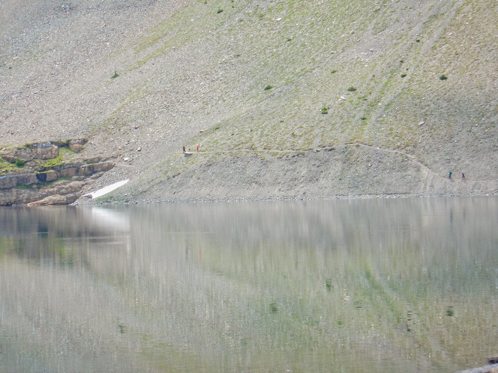
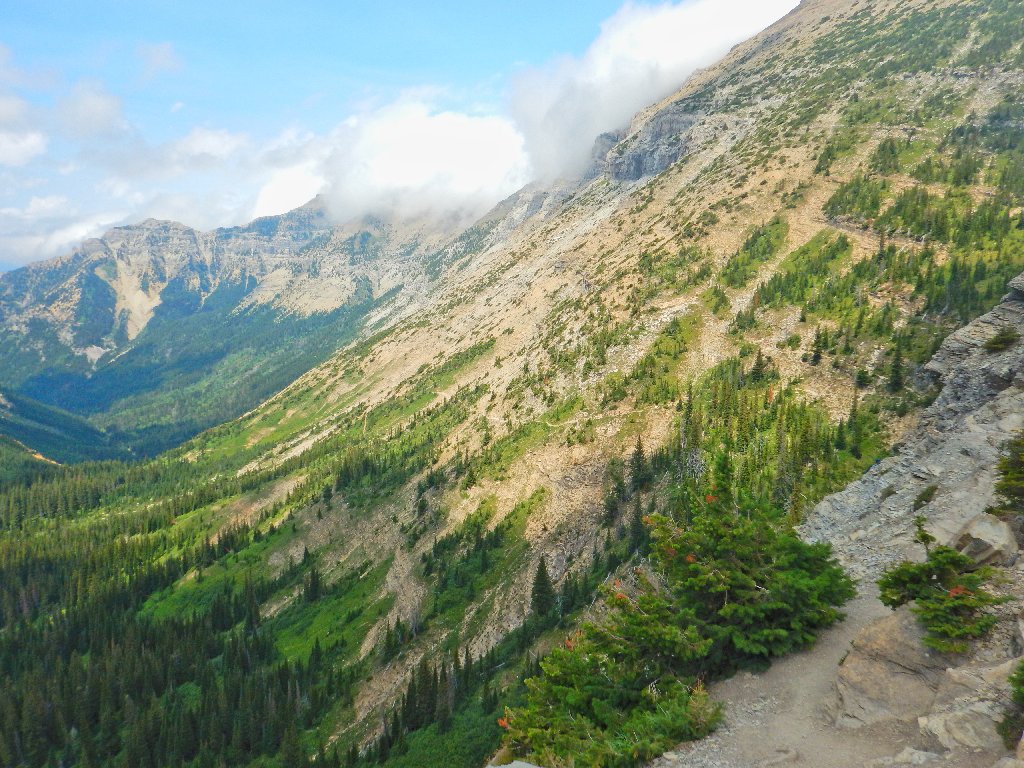
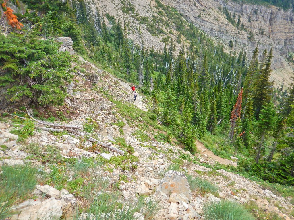
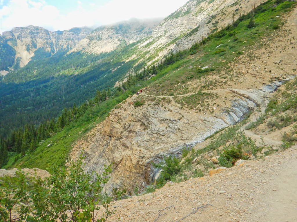
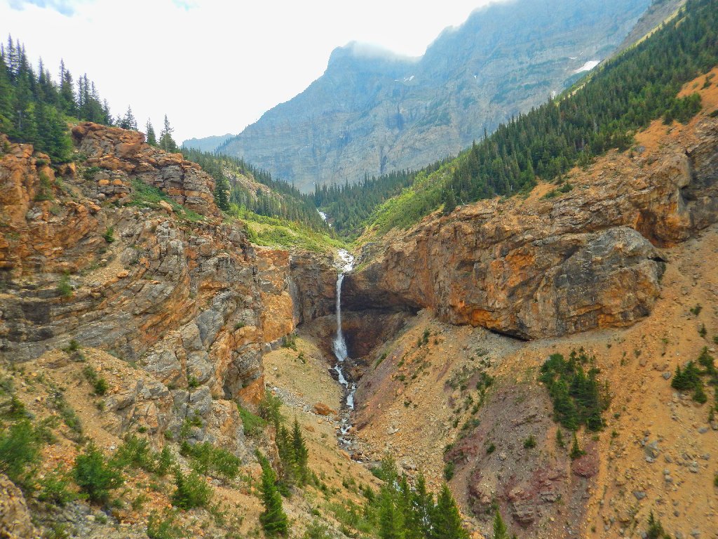
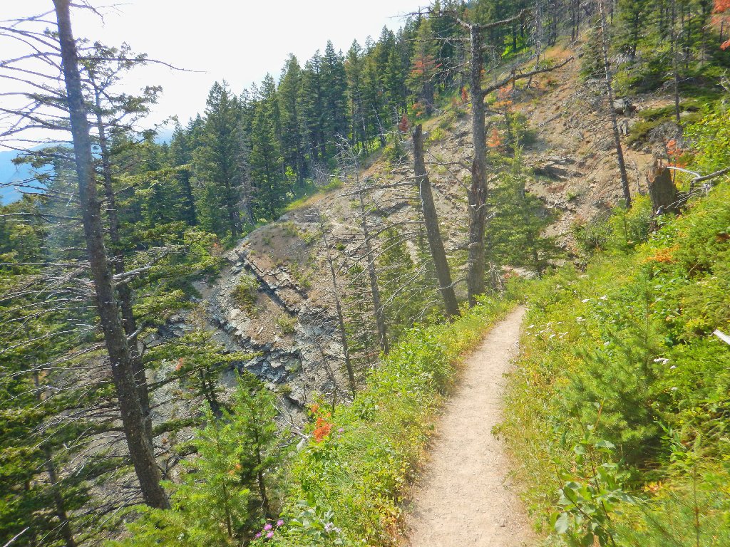
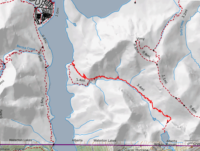
The route is laid out
Off we go, hoping that the skies will clear somewhat eventually. That condition will either make or break our day.
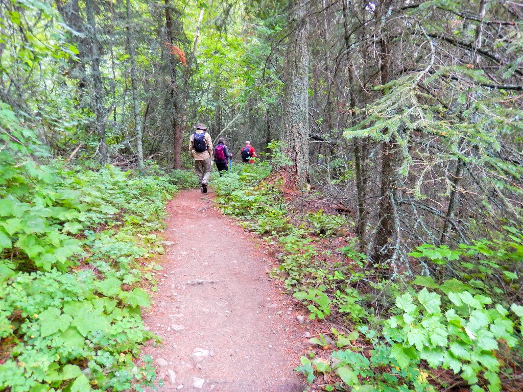
Immediately, my camera gets some chances for action.
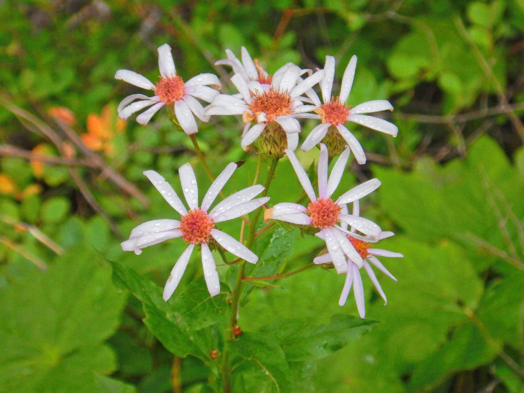
Large-leaved Aster
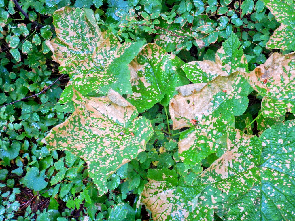
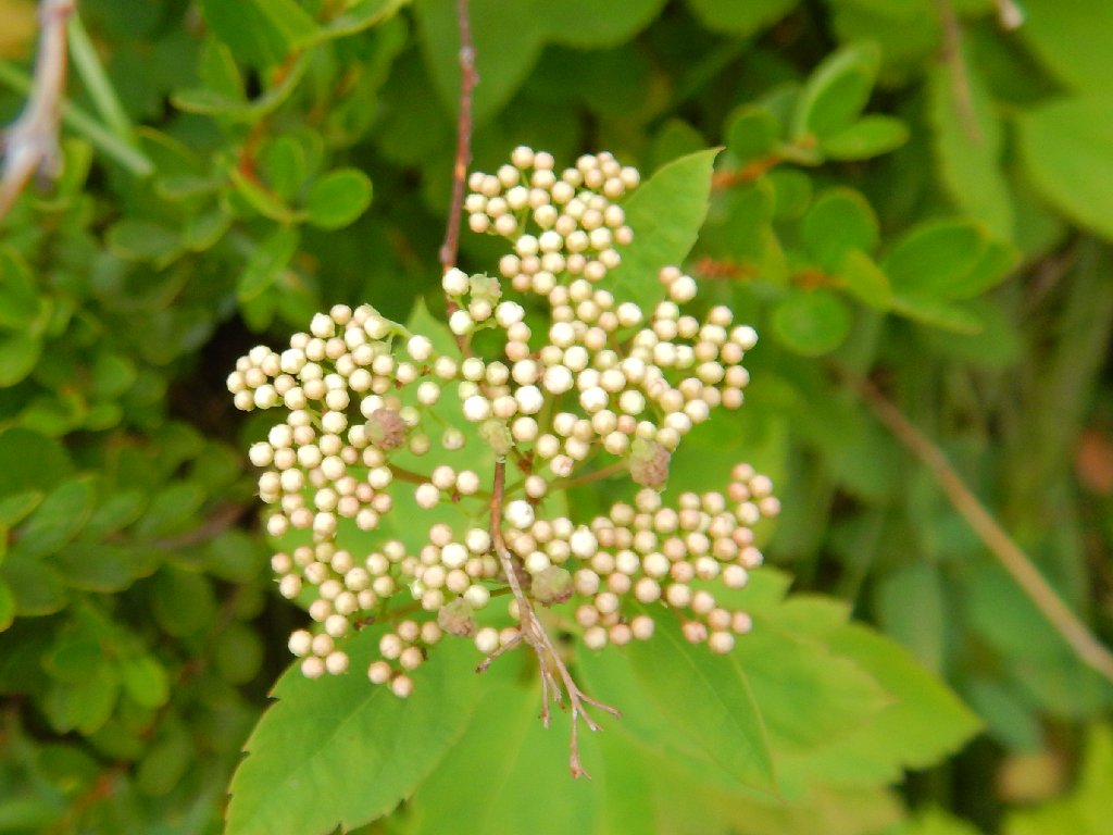
Thimbleberry
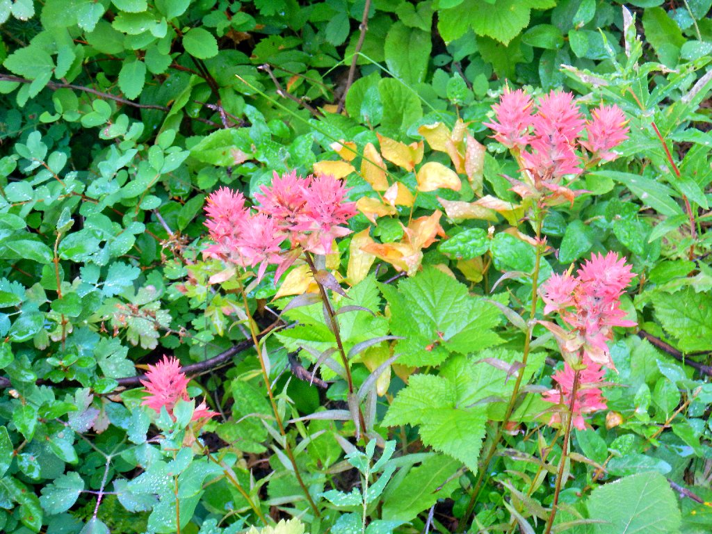
Pink Paintbrush
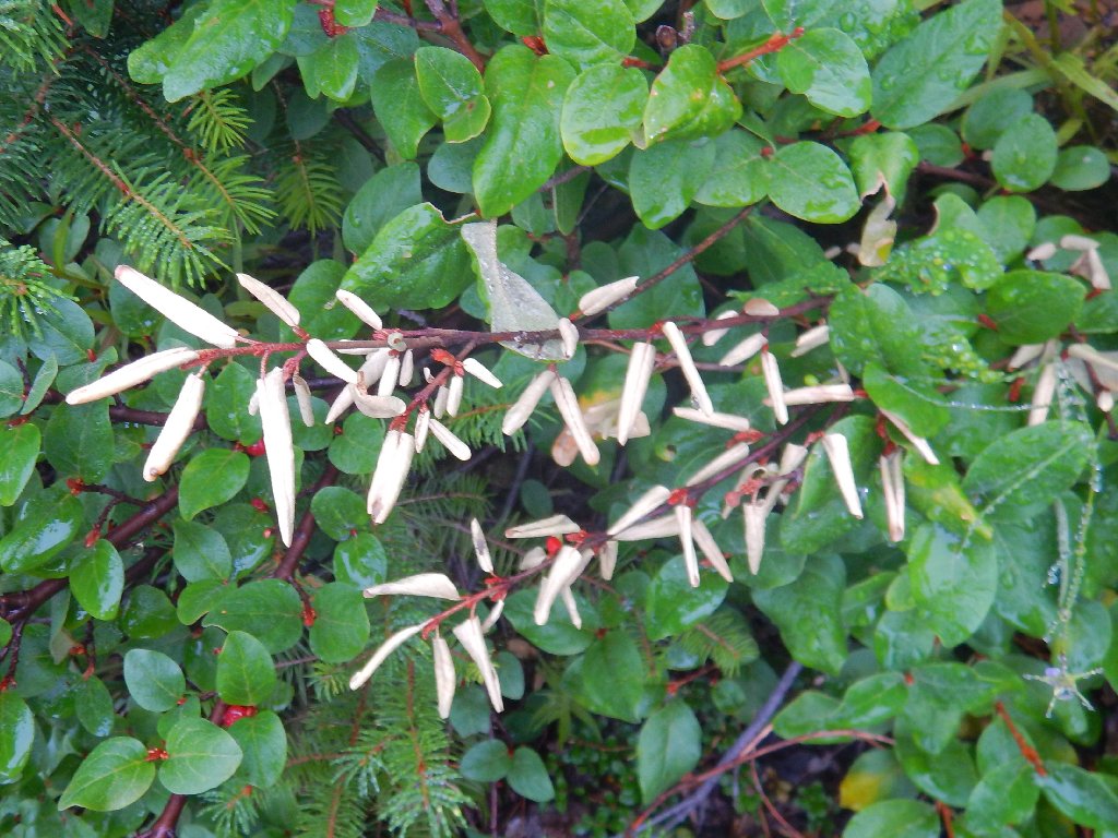
Russet Buffaloberry
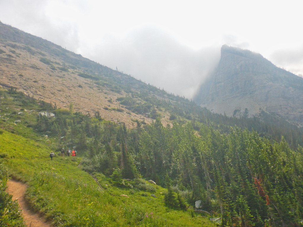
No letup yet
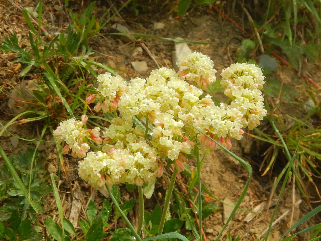
Parsnip-flower Buckwheat
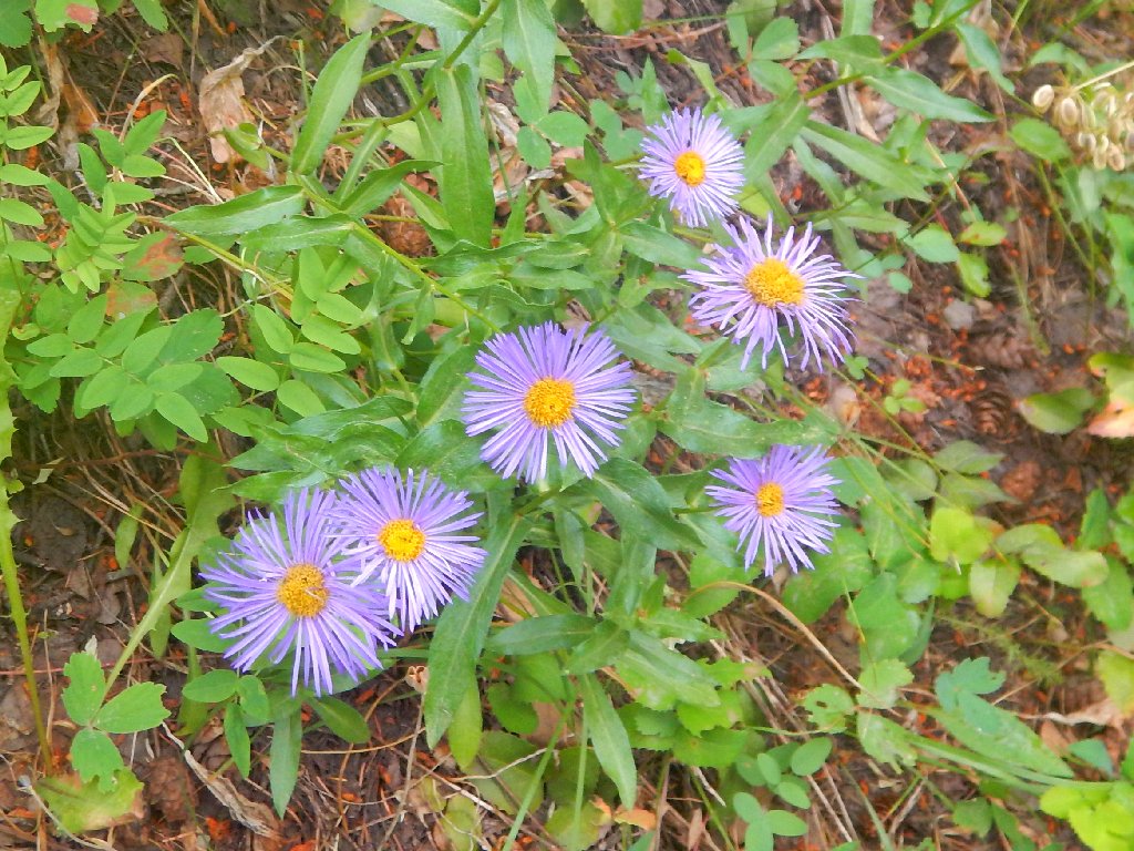
Aspen Fleabane
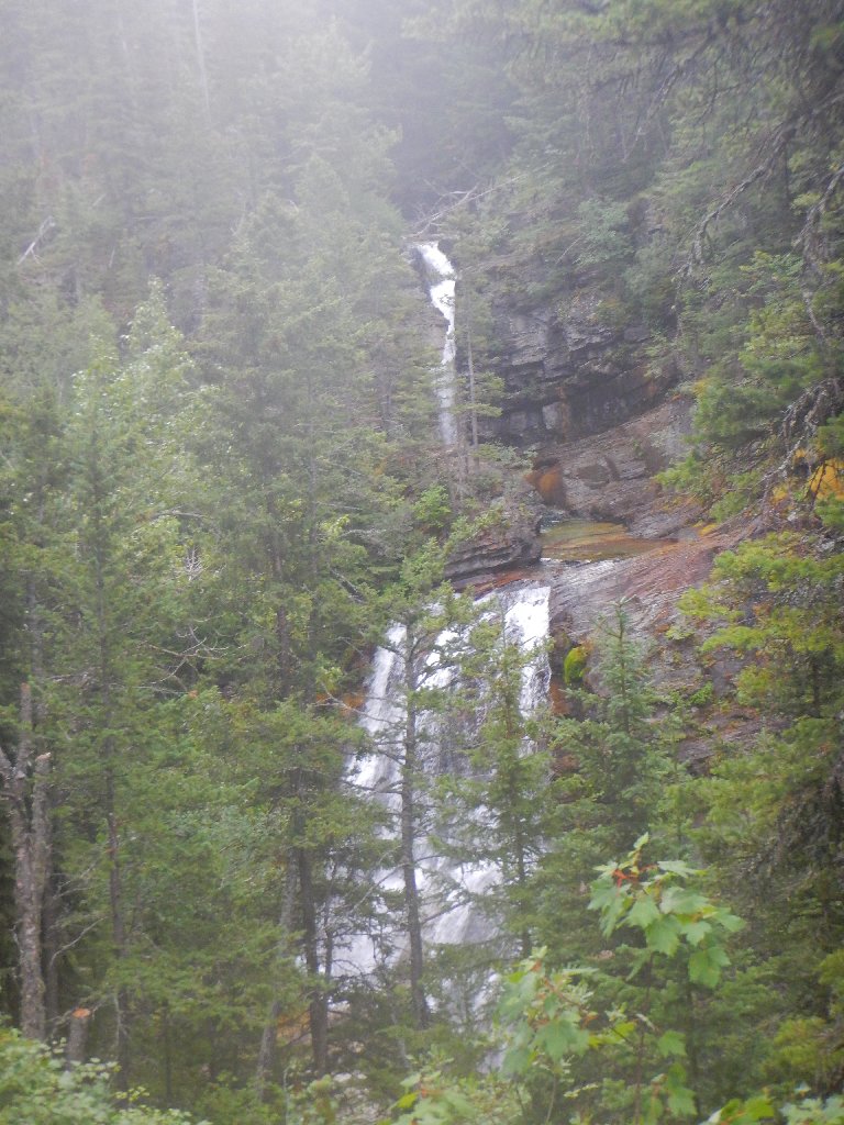
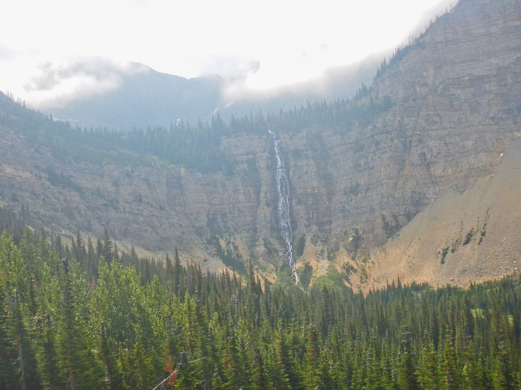
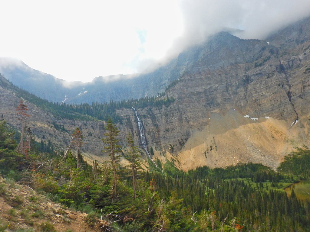
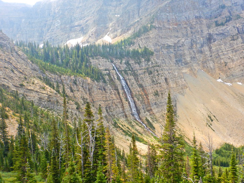
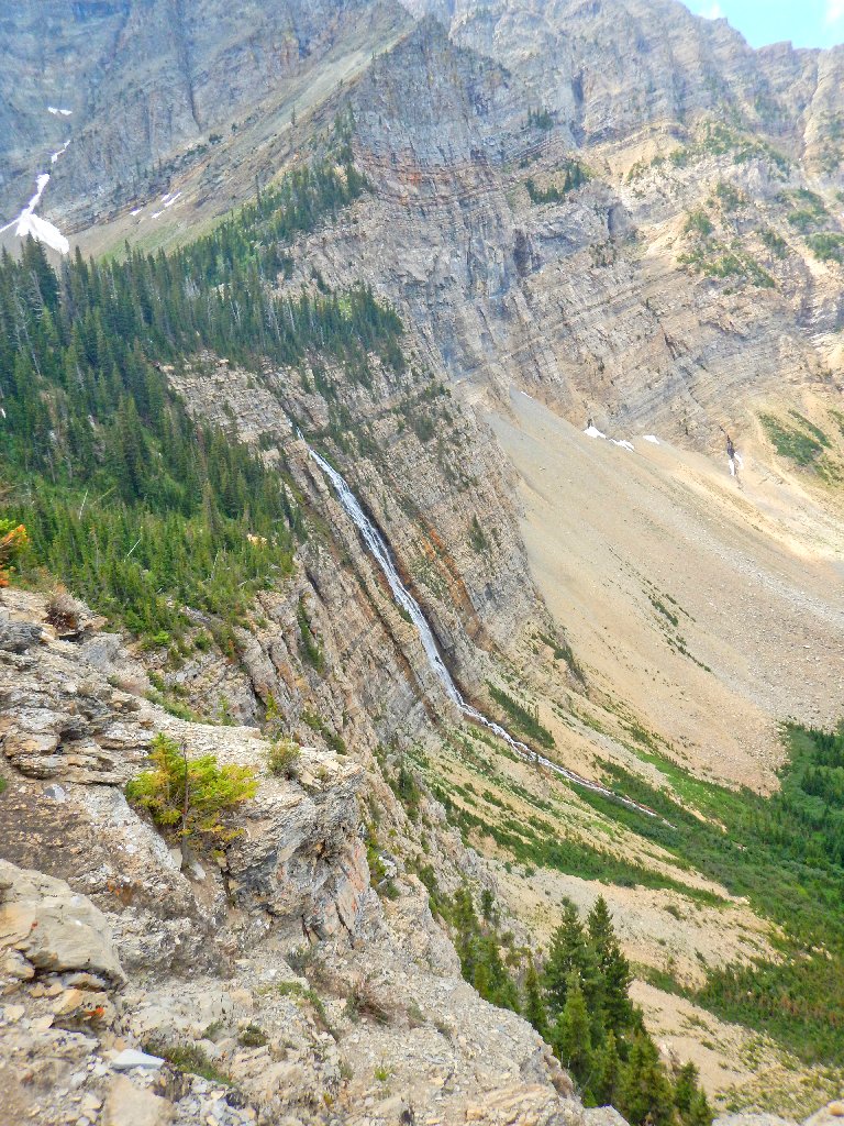
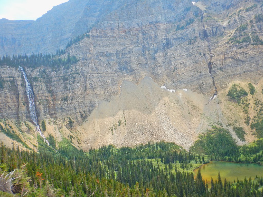
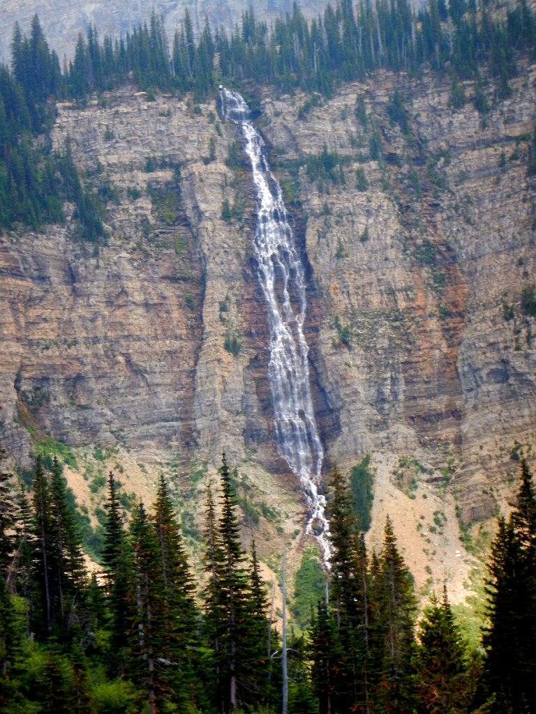
The best available view of Twin Falls
Is it letting up a bit?
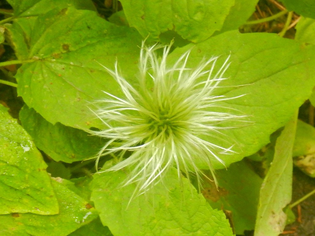
Purple Clematis
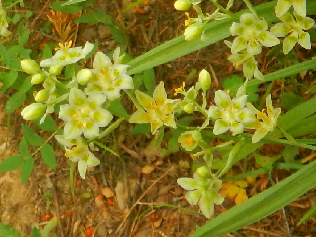
Smooth Camas
Ethereal
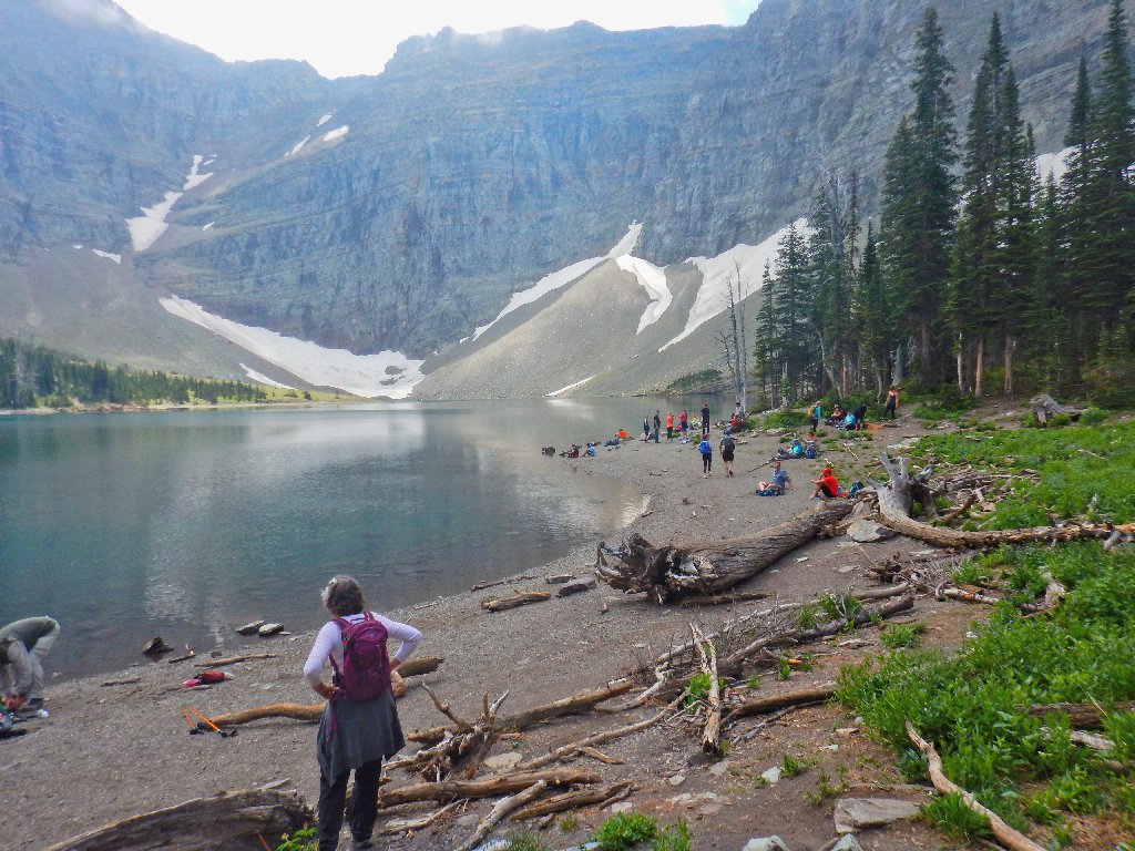
Others don't seem bothered by the weather
Suddenly, a fine spectacle appears, and a bit of sunlight along with it.
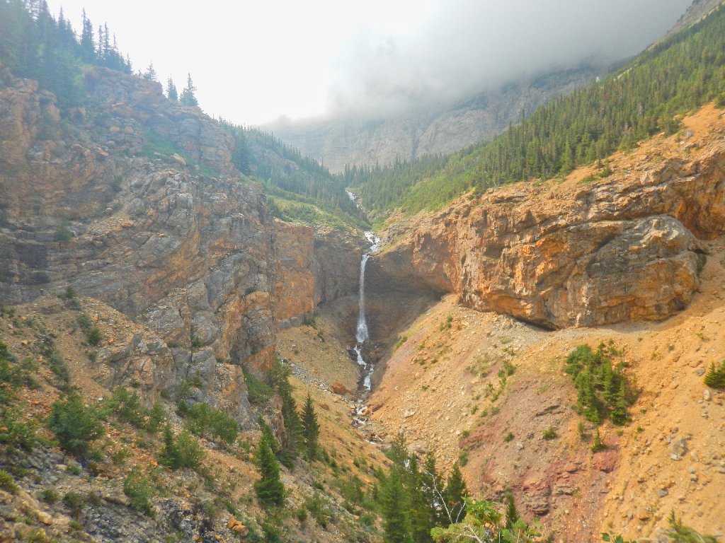
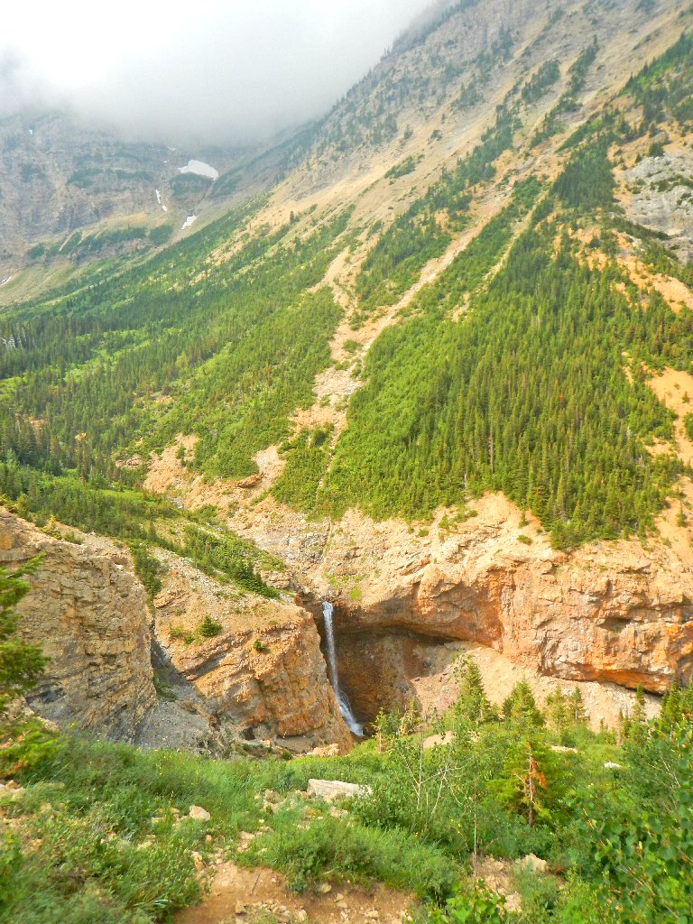
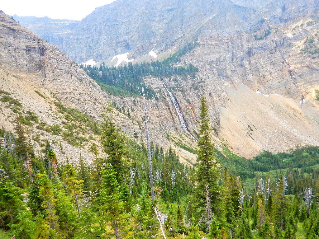
Burnt Rock Falls
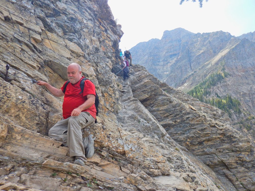
Someone wants to take my picture:
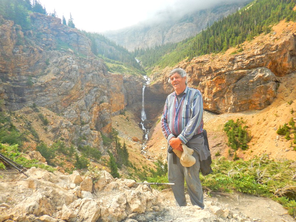
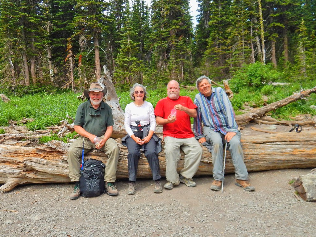
Ted
As we come around the next corner, Dave remarks, "I sure hope that the lake is at bottom of those falls". Not hearing him correctly, I answer in the affirmative. Ho, ho, ho.
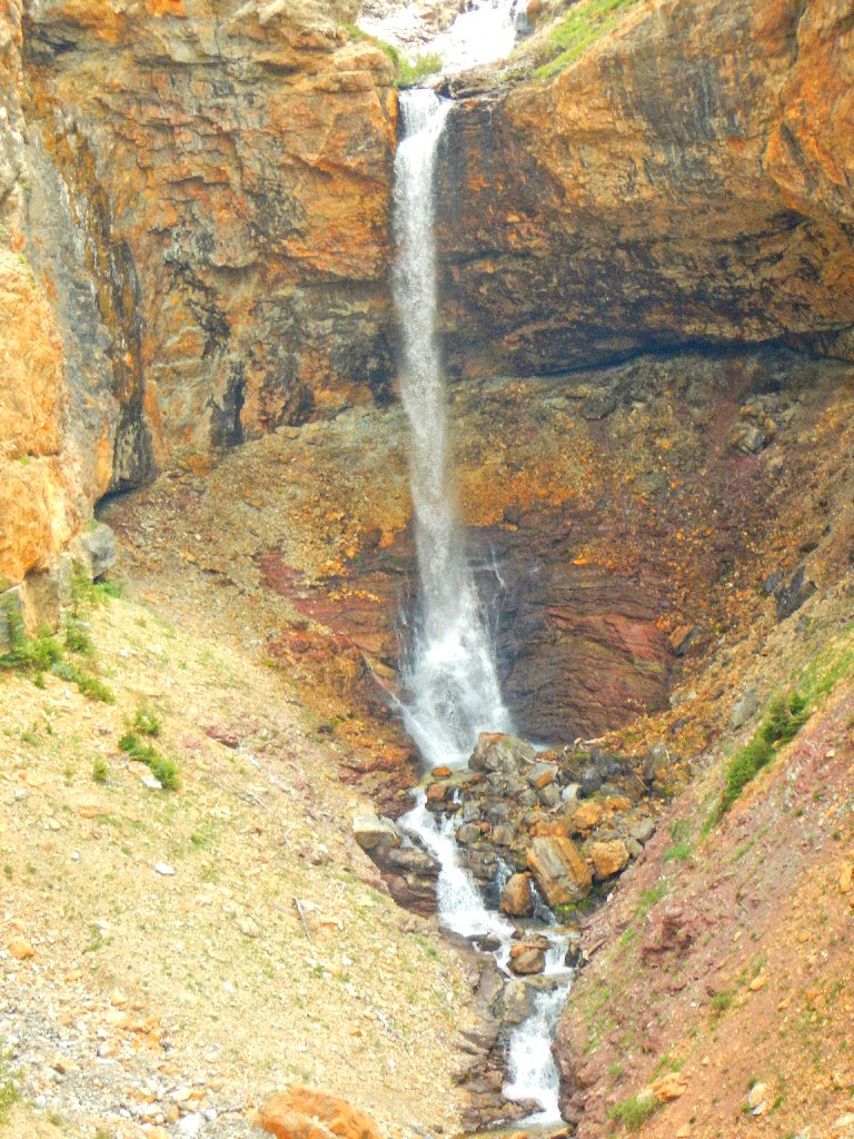
Crypt Falls, 490'
It doesn't take Dave long to learn the truth.
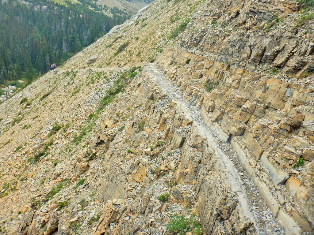
Switchbacks
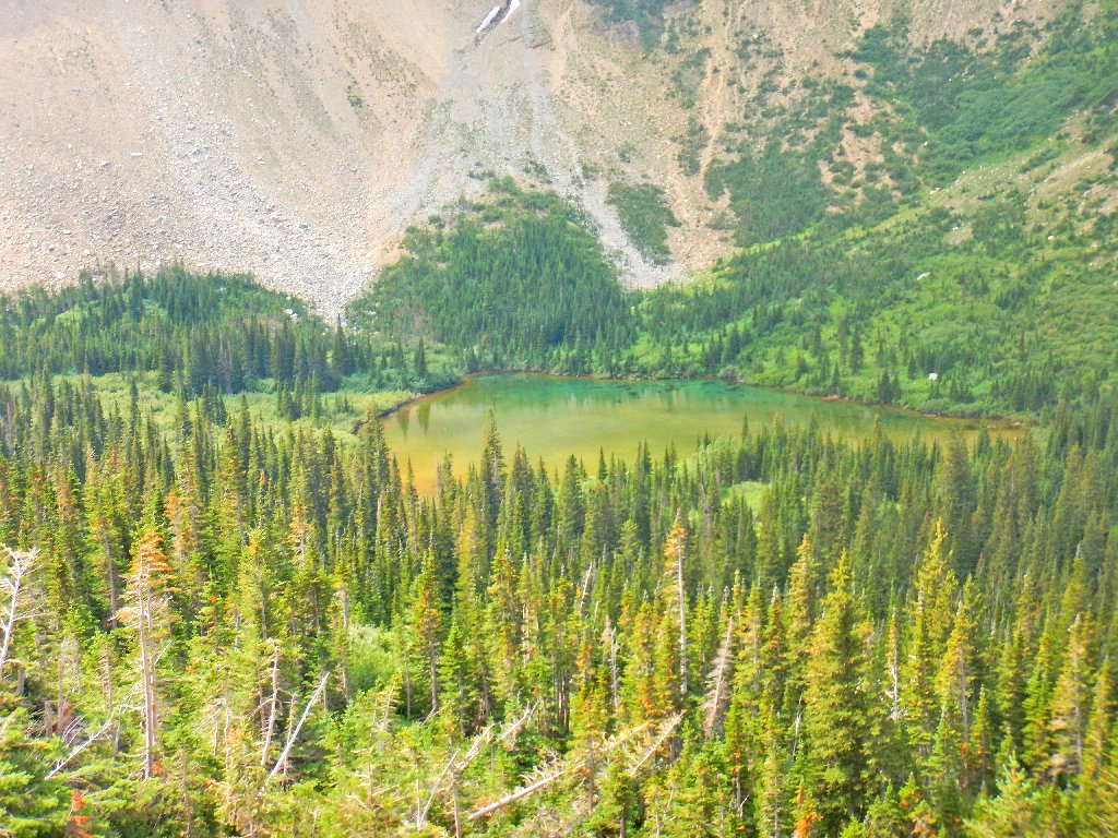
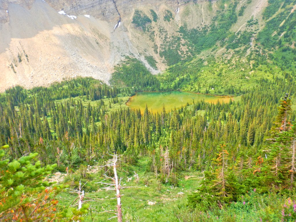
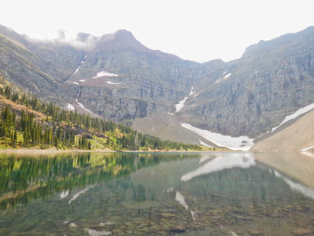
Actually, there is a lake near the base of the falls
And it's beautiful, too!
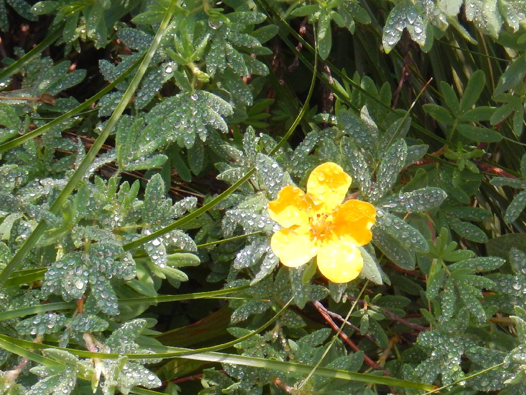
Shrubby Cinquefoil
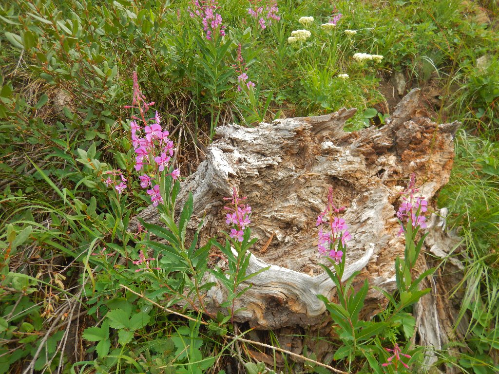
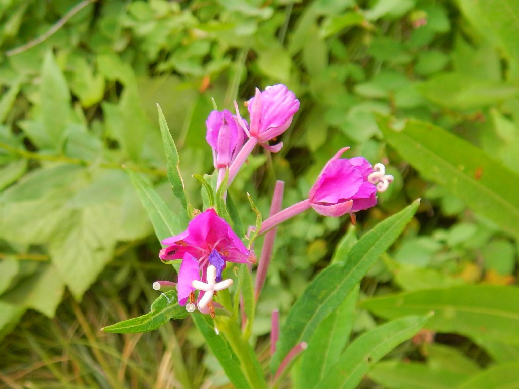
Fireweed
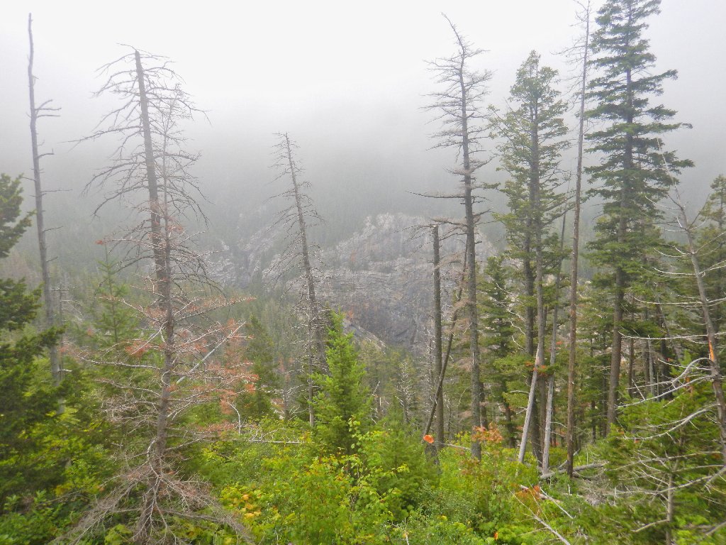
Will those clouds ever go away?
I'm glad I brought my color film
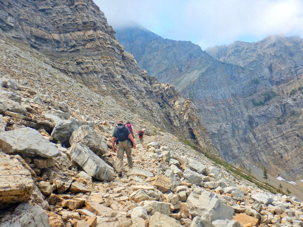
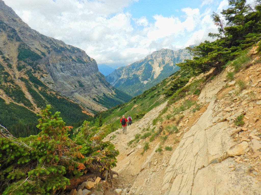
We're getting up there, slowly
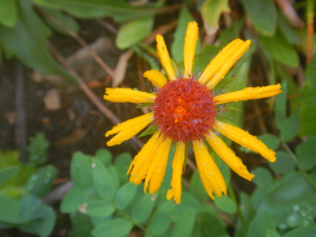
Great Blanket Flower ...
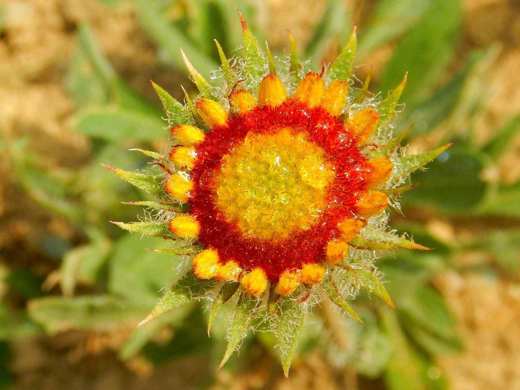
... Late Stage of same
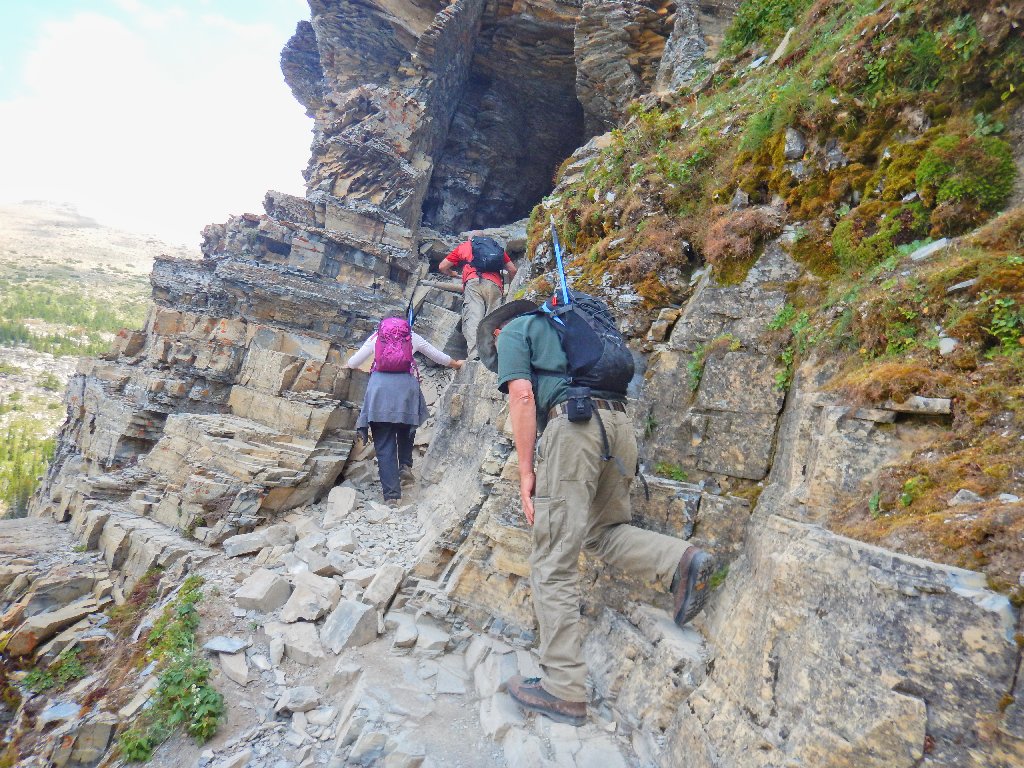
I've been looking in the wrong place! There's the tunnel, just ahead. I am sure that Paul has read about this trail, because that's what he does; but Dave probably has only a vague idea as to what lies ahead.
Through the fog, I can make out hikers at the tunnel entrance
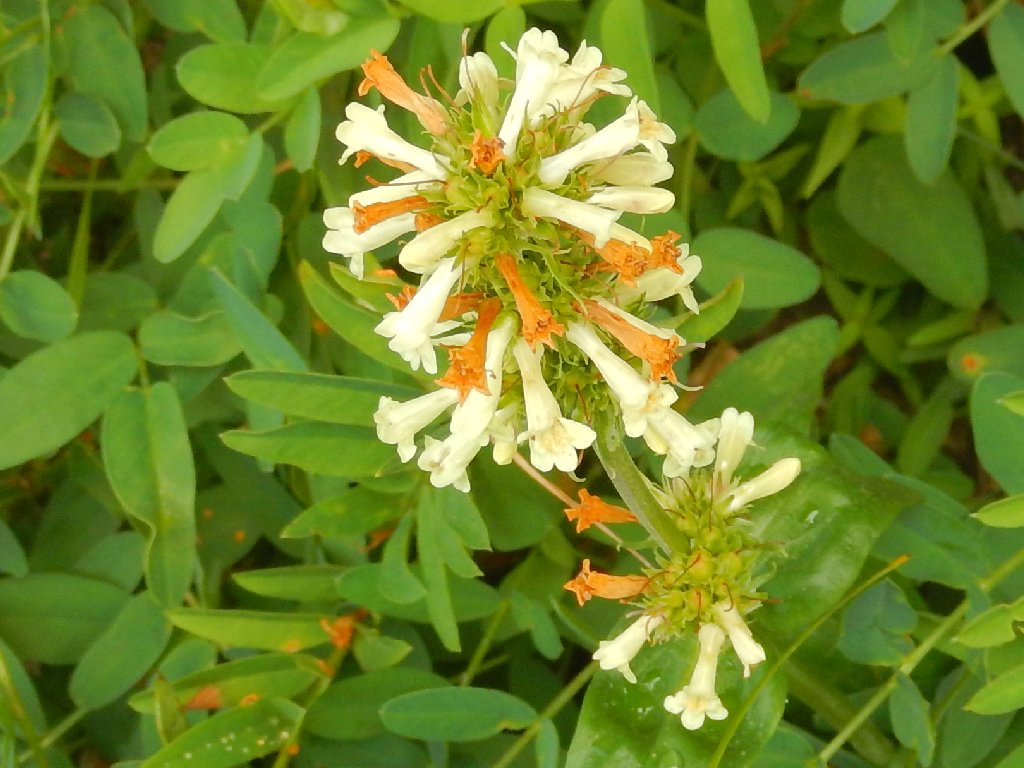
Twining Honeysuckle
Thinleaf Huckleberry
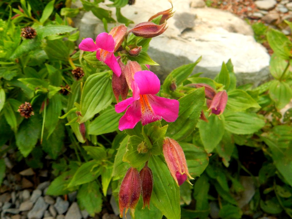
The Purple Monkeyflowers really stand out from the crowd
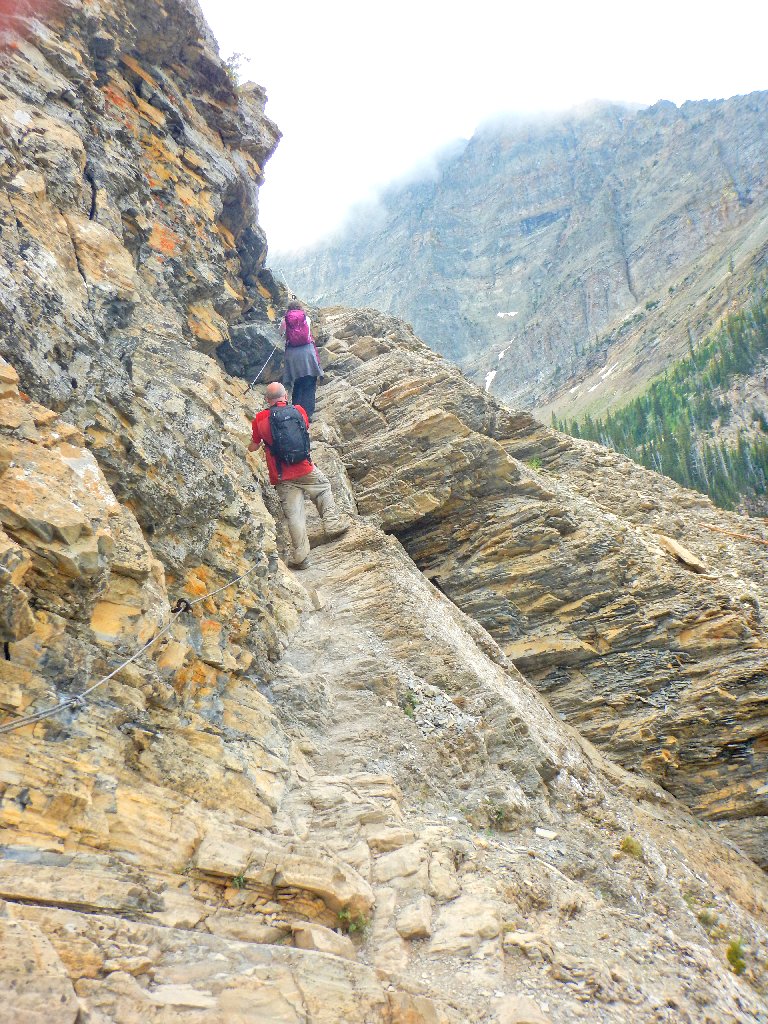
Finally, we get to go sideways instead of uphill.
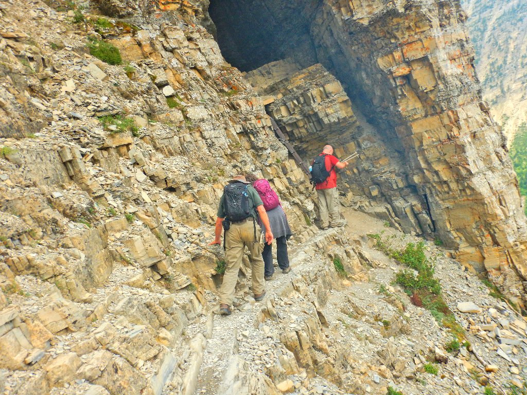
Approaching the tunnel
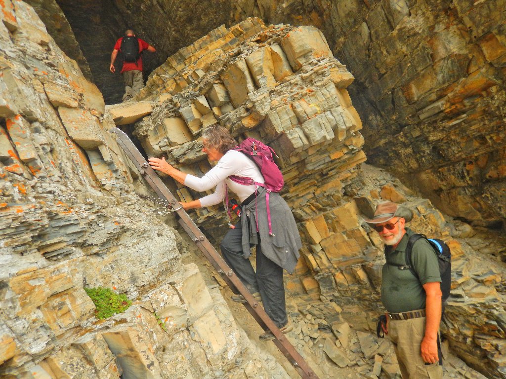
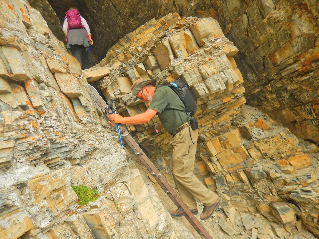
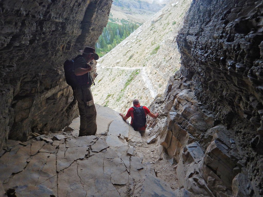
The crux of the mission is at hand.
Dave puts away his walking sticks
A misstep back there could cost one dearly
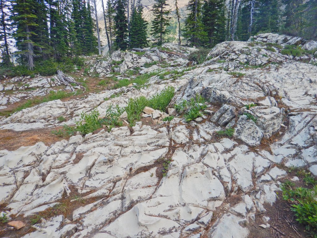
The erstwhile route
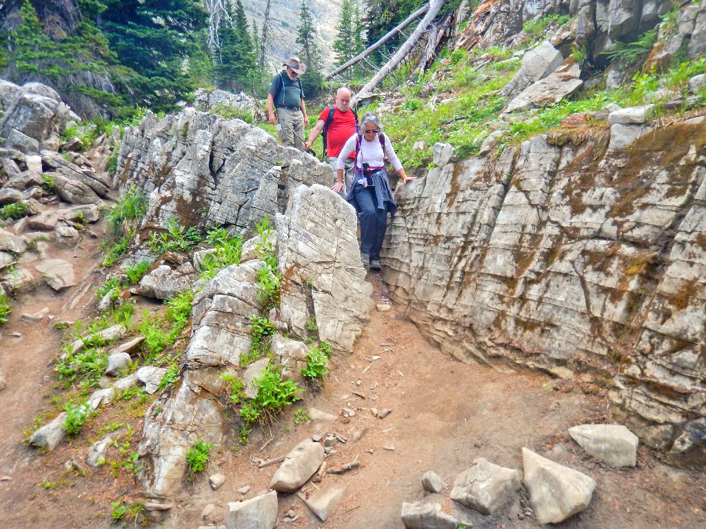
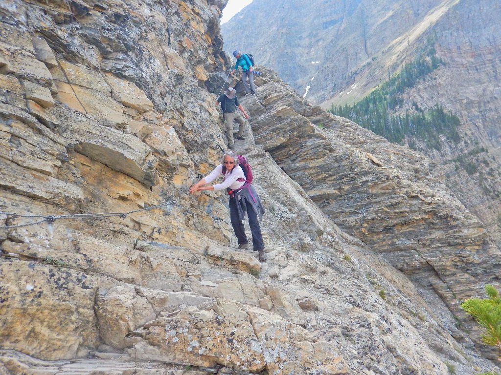
The obstacle course begins:
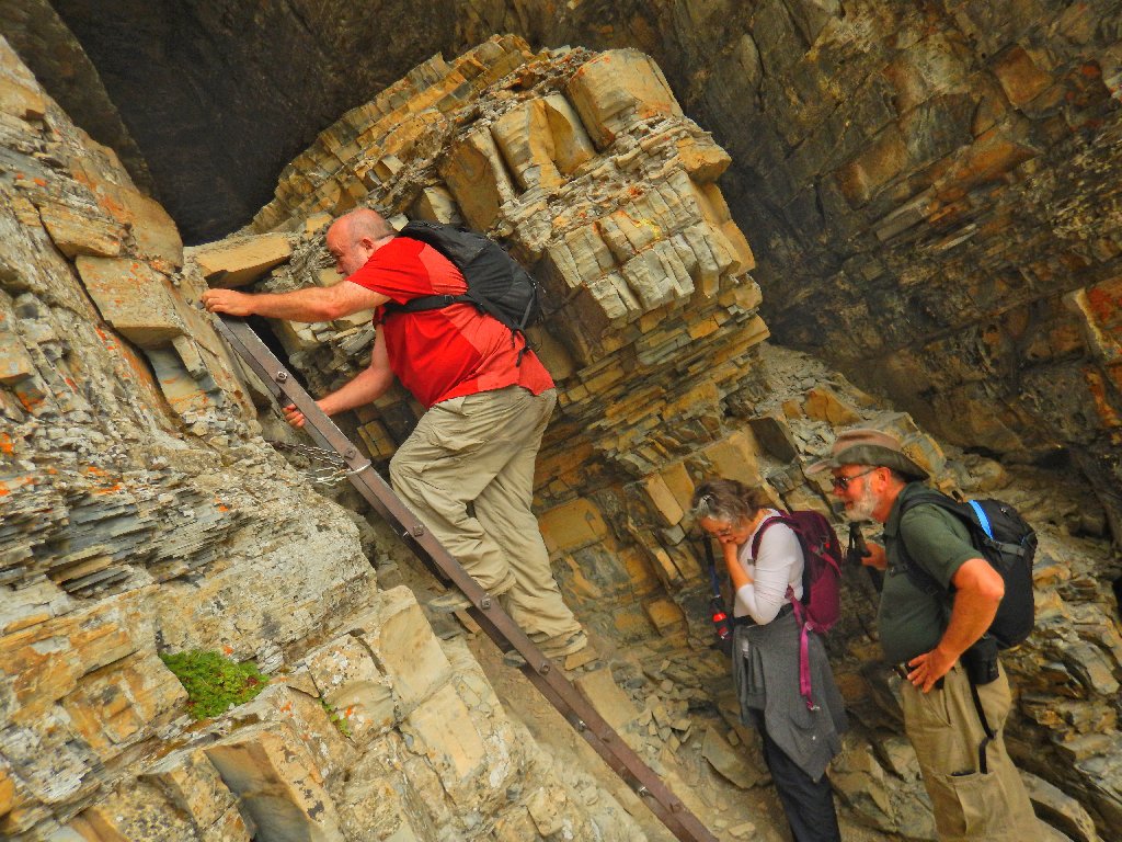
Dave
Brenda
Paul
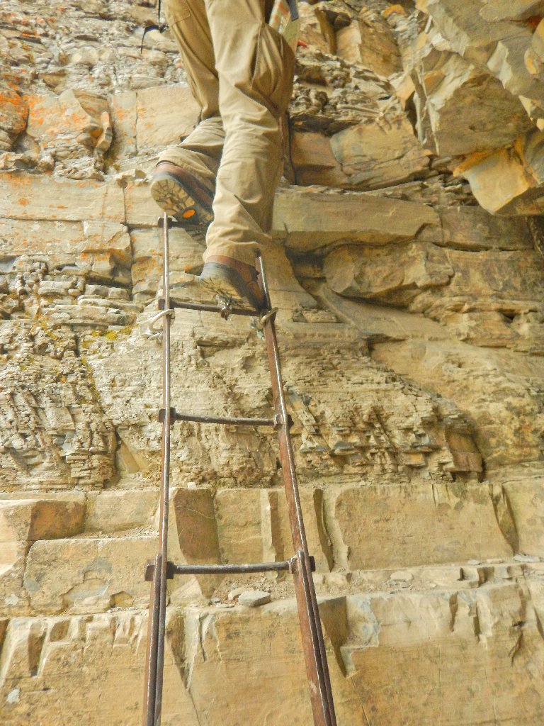
The ladder is tiny, and there is nothing to grab at the top
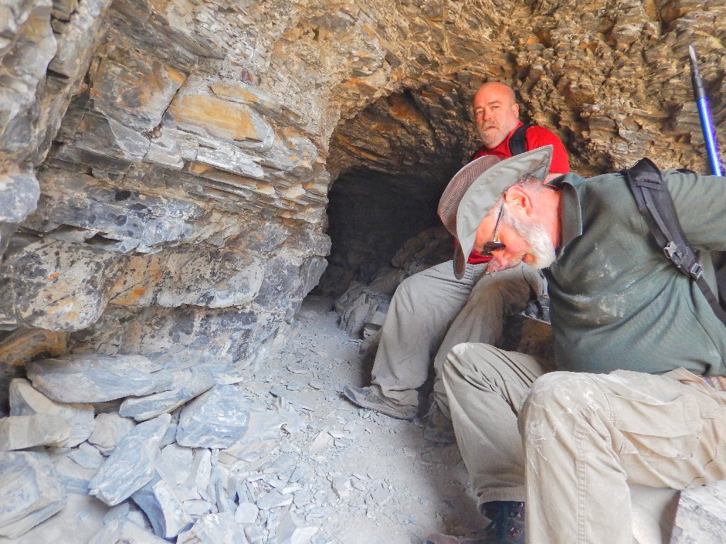
This natural tunnel is sixty feet long or so, but only four or five feet high in places. Although crawling and additional lighting definitely are not required, I need to crouch and lean against one of the walls for much of the way.
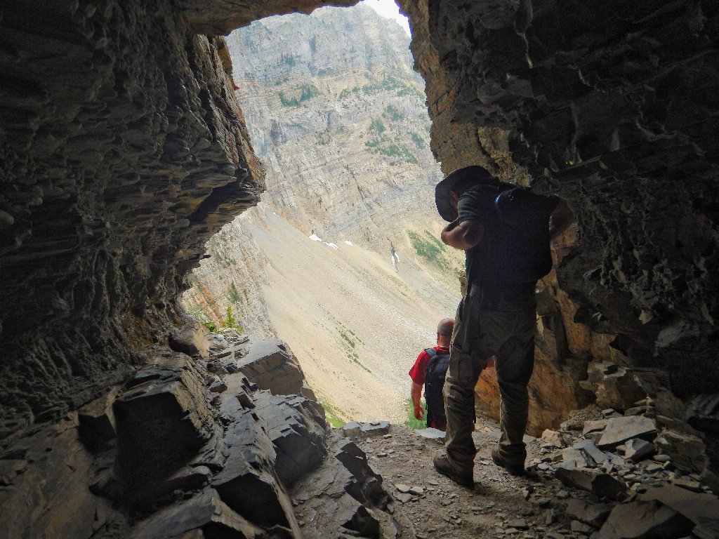
Exiting the tunnel
Because this opening originally was a natural formation, I suppose that it qualifies as Crypt Arch.
Clambering down here is a challenge
It is diffficult to appreciate the beauty right now
And it's not over yet.
This cable-assisted section is reminiscent of the Italian Dolomites
Paul is being extra-careful, which is a good plan
My only issue is that I must let go of any handhold in order to take pictures, but somebody has to do it.
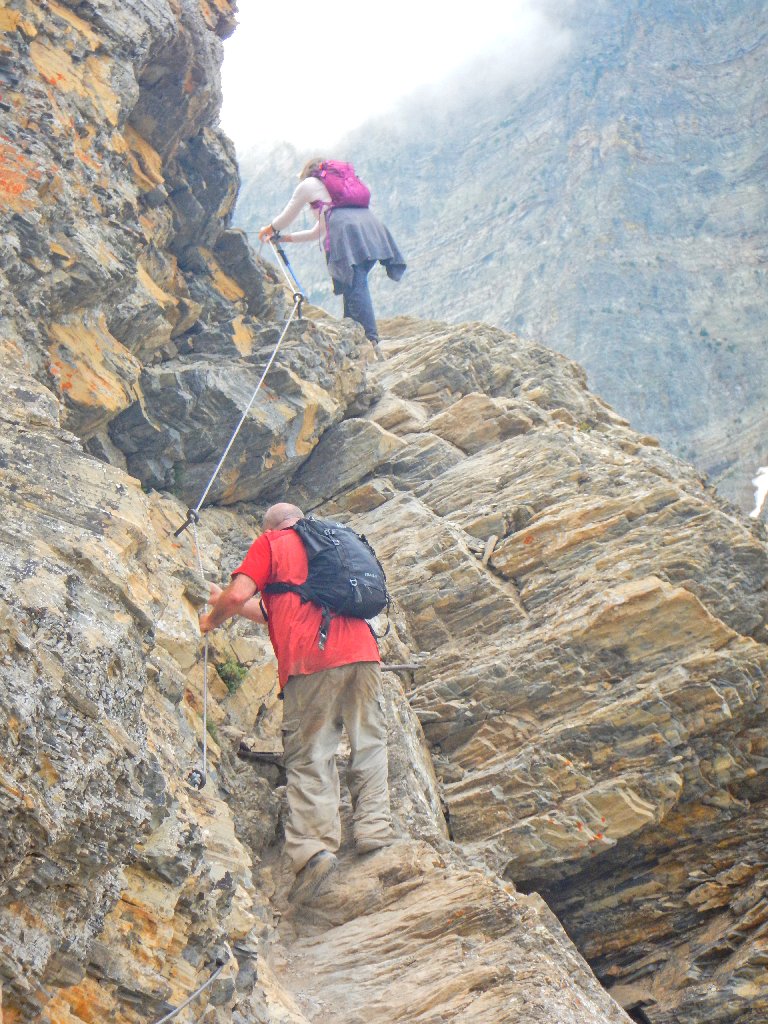
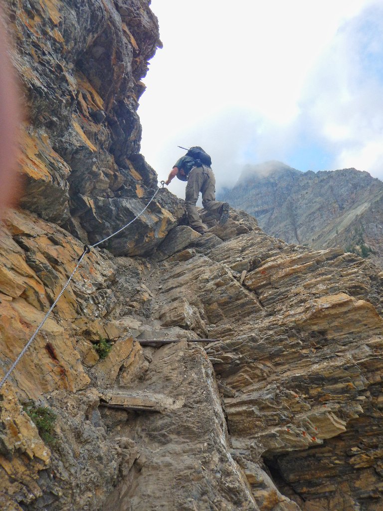
Via Ferrata!
The everpresent waterfall doesn't care
It should be a cakewalk from here, and it more or less is.
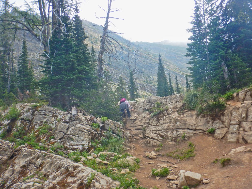
A bit of a scramble in here
None too soon, the destination is achieved.
Crypt Lake
The lighting still is crappy, but at least I can get people out of the scene:

That's more like it
The wall of rock back there actually is in the United States. The international border nearly touches the lake itself.
A happy group
That's my kind of shirt
They are venturing into another country, and possibly without passports!
Reflections
We don't want to tarry, for our walk is only half finished and there is a schedule. After a few bites of lunch, we are ready to depart.
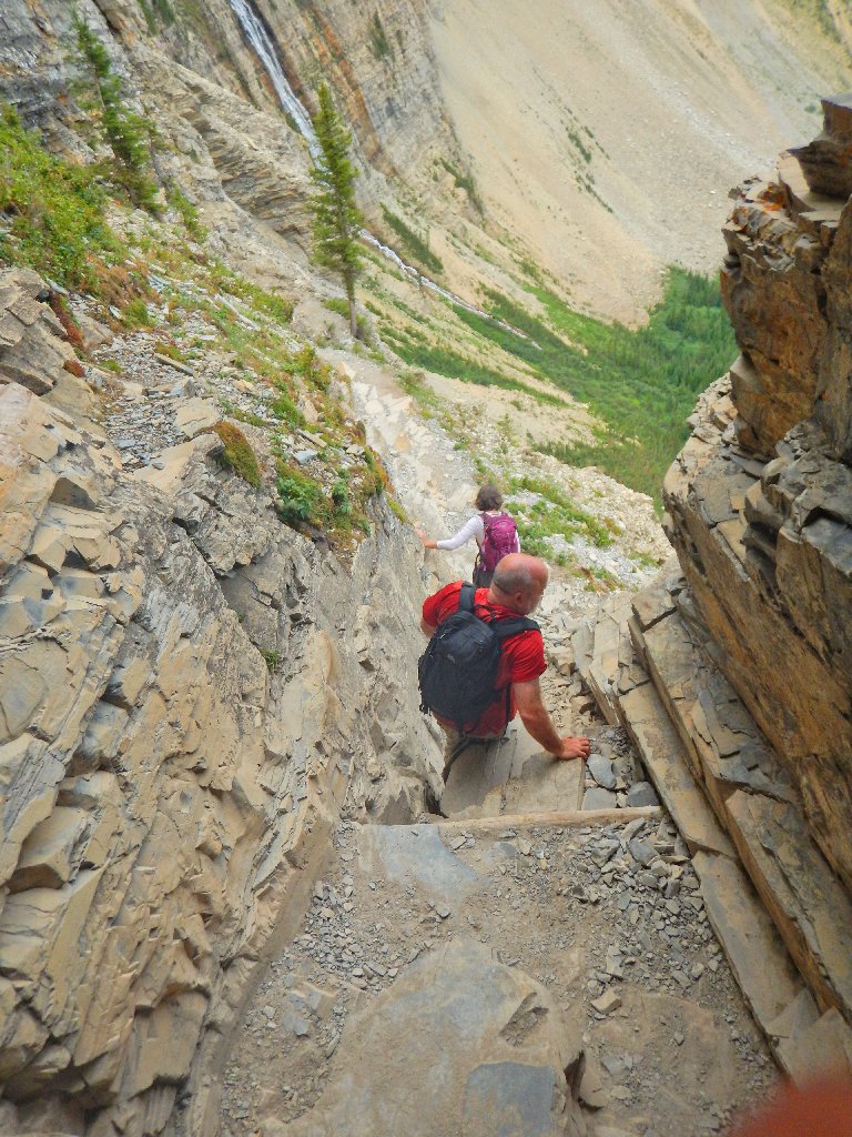
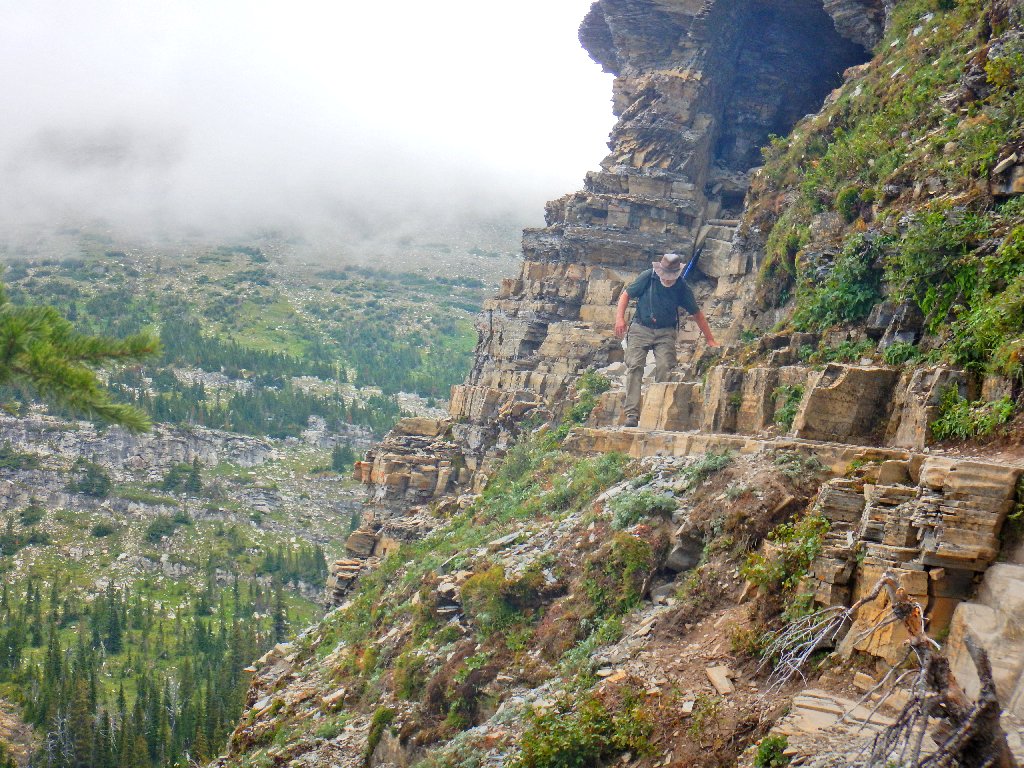
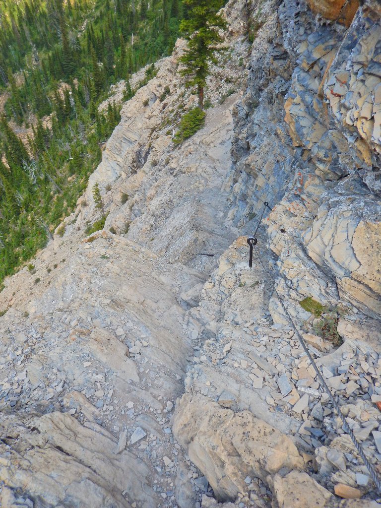
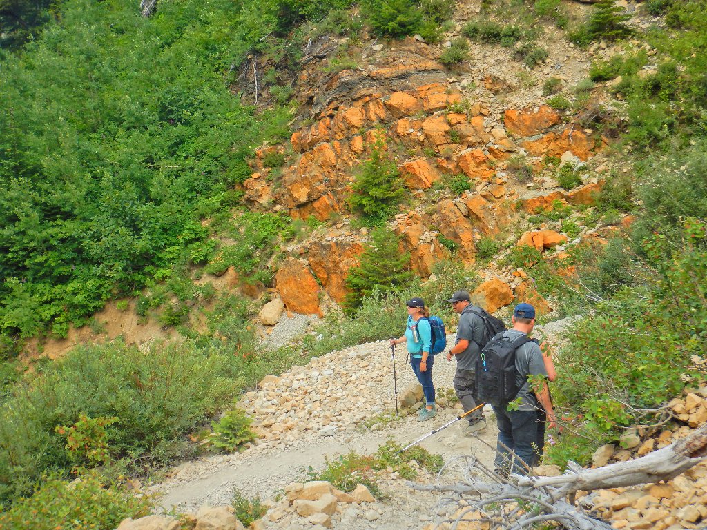
Negotiating the White Rock Zone
There's the trail
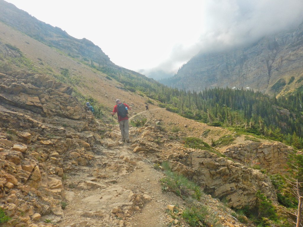
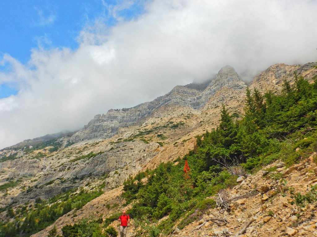
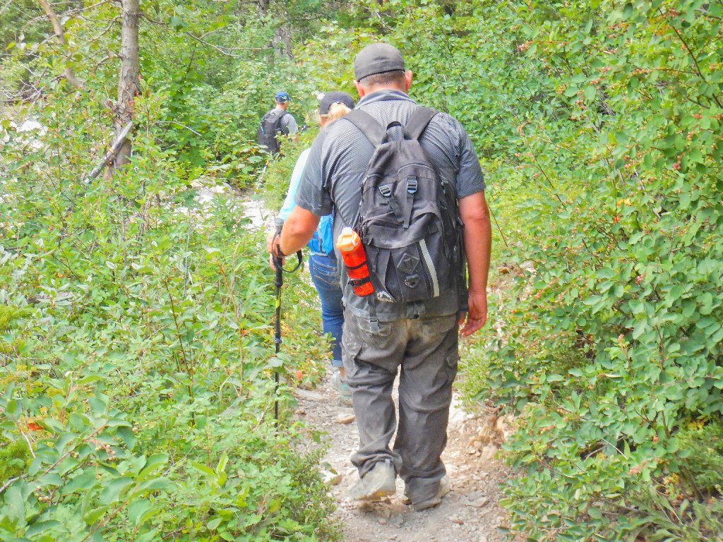
Back for more thrills
We must wait for a party of six to come up, as there is no passing lane.
That gives me extra time to — take more pictures.
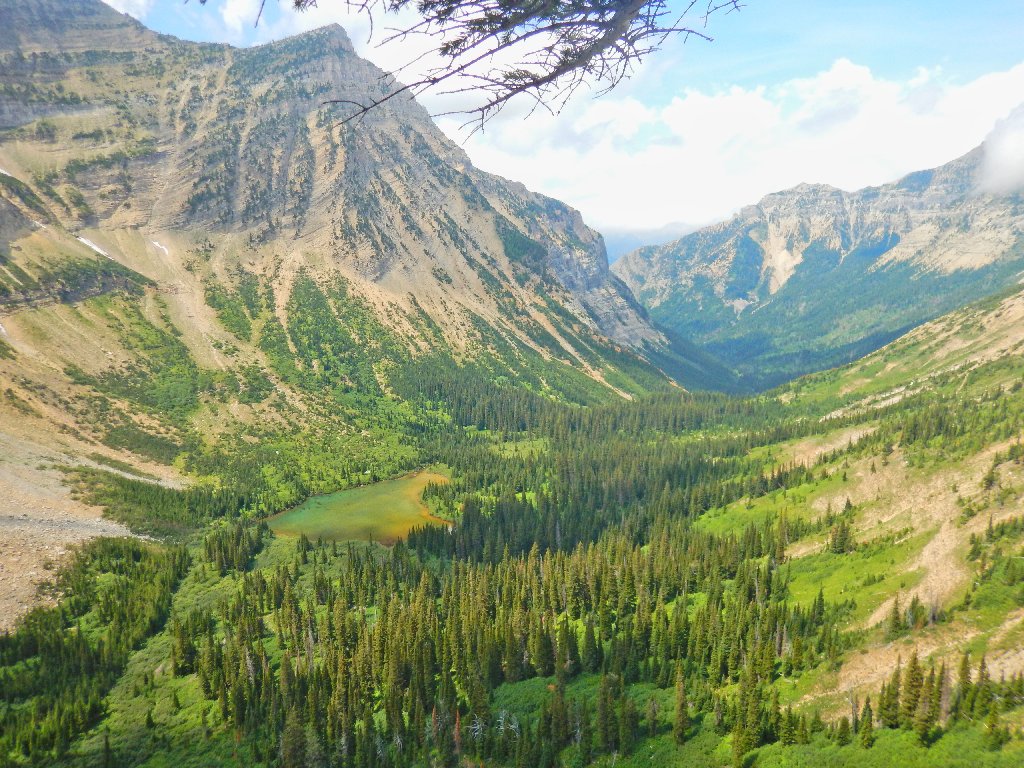
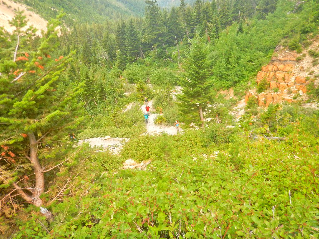
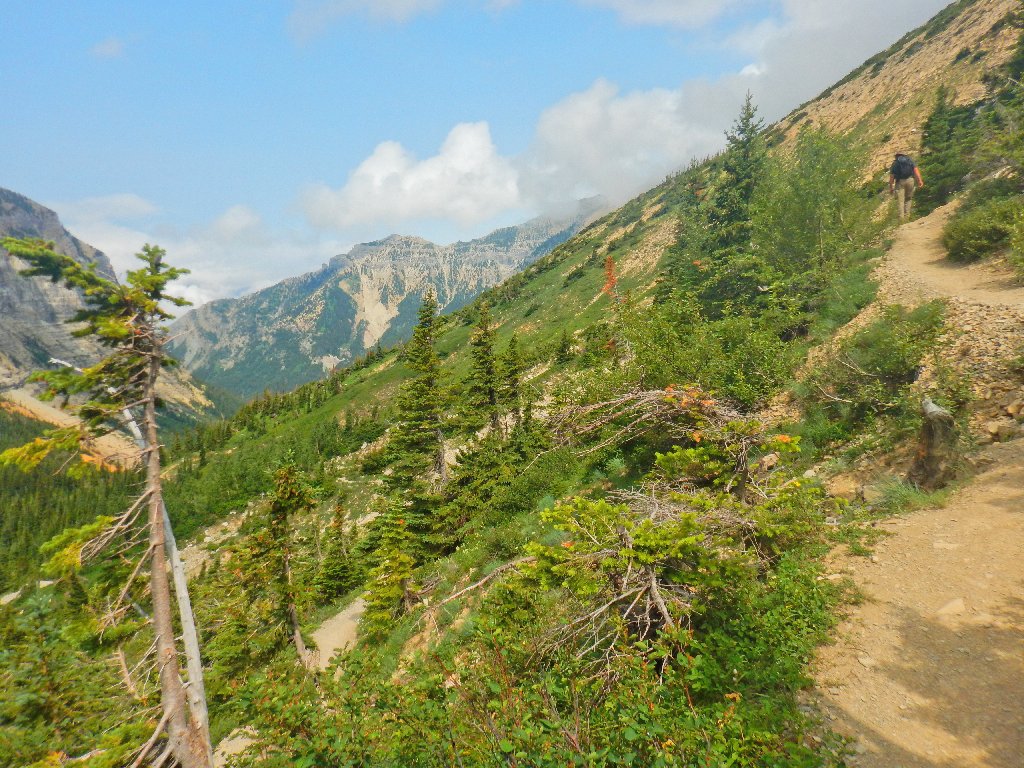
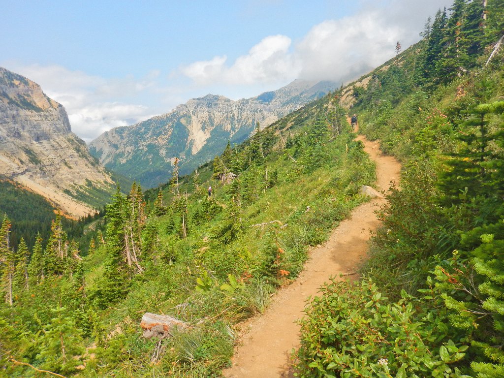
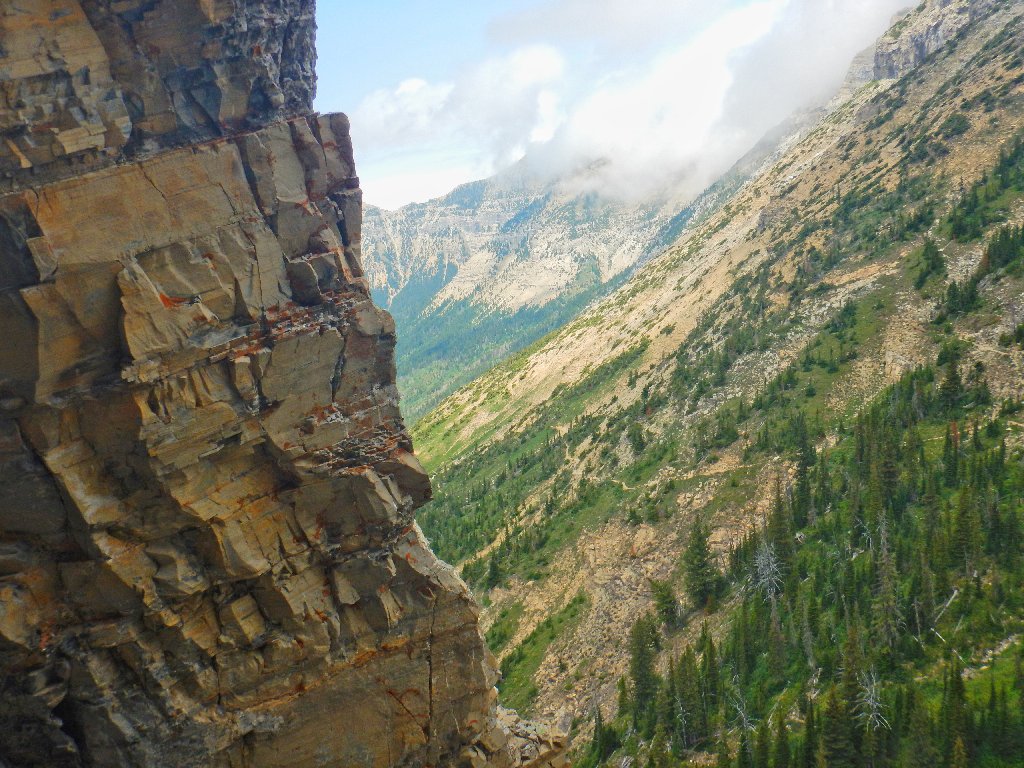
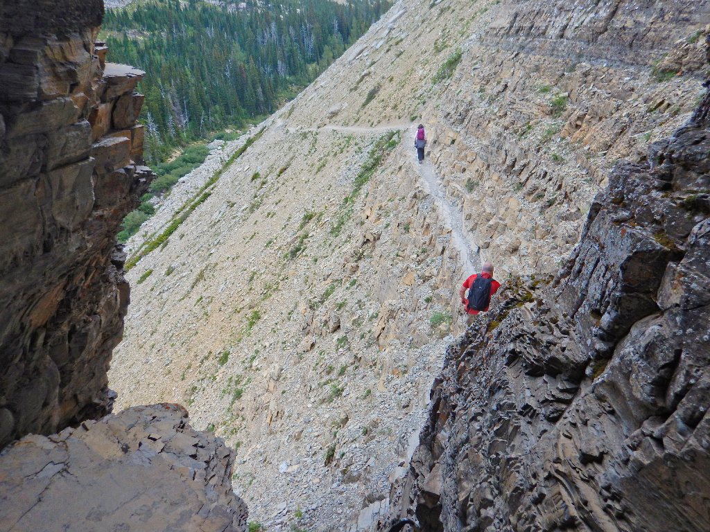
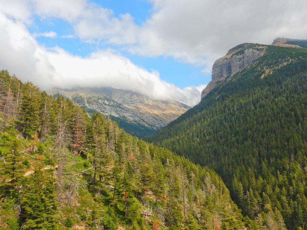
I seem never to weary of the views of Crypt Valley
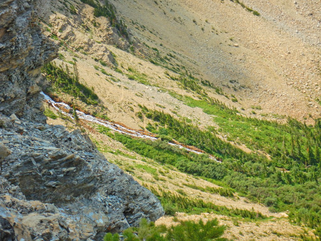
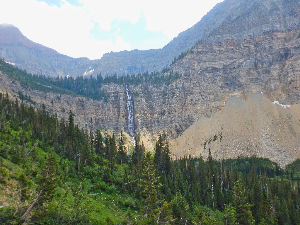
The lower part of Crypt Falls
"It was easier going up"
"Yep"
Now the real crux of the mission is at hand, because getting onto the ladder is downright dangerous. How hard would it have been to add a foot or two to the height of the ladder, or at least install a metal post to grab (see Addendum)? Shame on the park management for that.
Those two are assuming that I won't break my neck up here
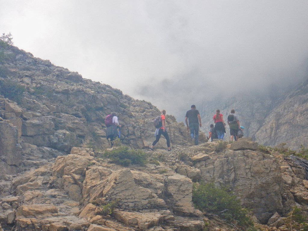
Of course, they are more concerned about their own necks over there. That's as steep a hillside as I can remember; and as far as I am concerned, it is more problematical than the cable section. In any case, the scary stuff soon is conquered, and it is great fun. It's why I chose this trail in the first place.
It also looks as if we'll get more sunlight now, which would be very nice.
Last look at the tunnel area
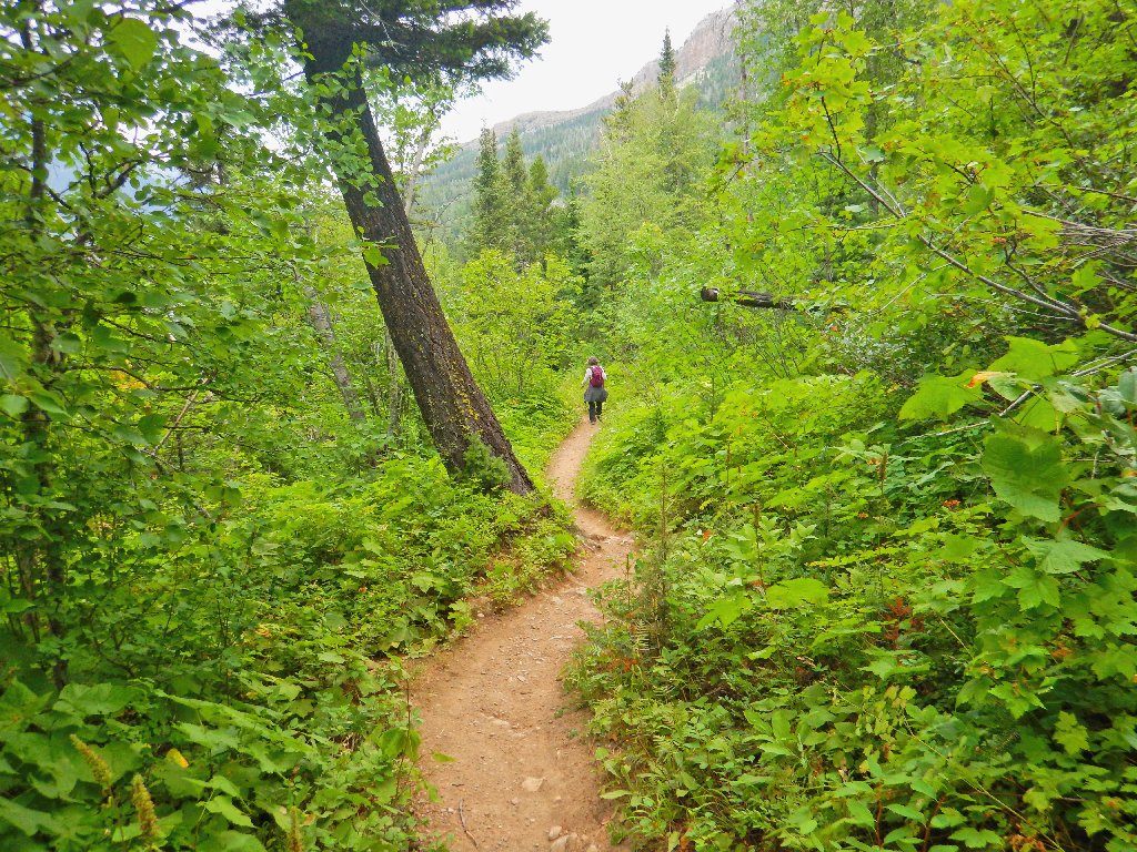
Down the switchbacks
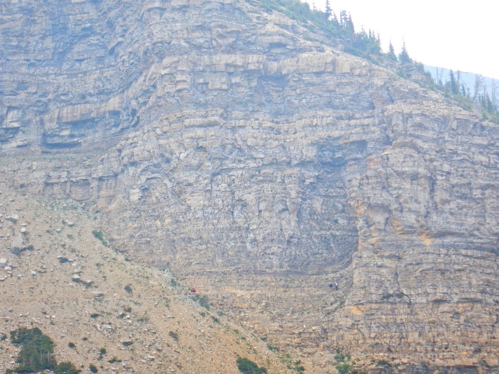
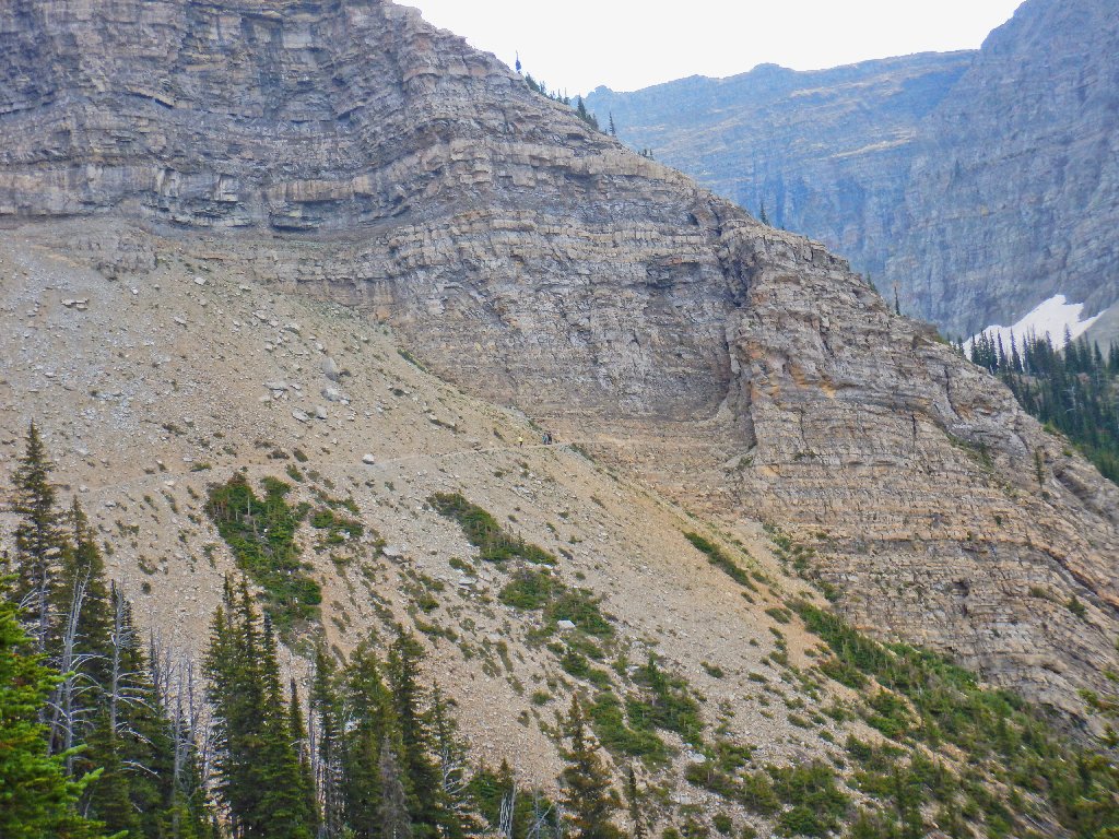
Hearing a loud crack across the canyon, I look over just in time to see a big rock plunging down from where those little patches of snow are. I don't know whether the others saw anything.
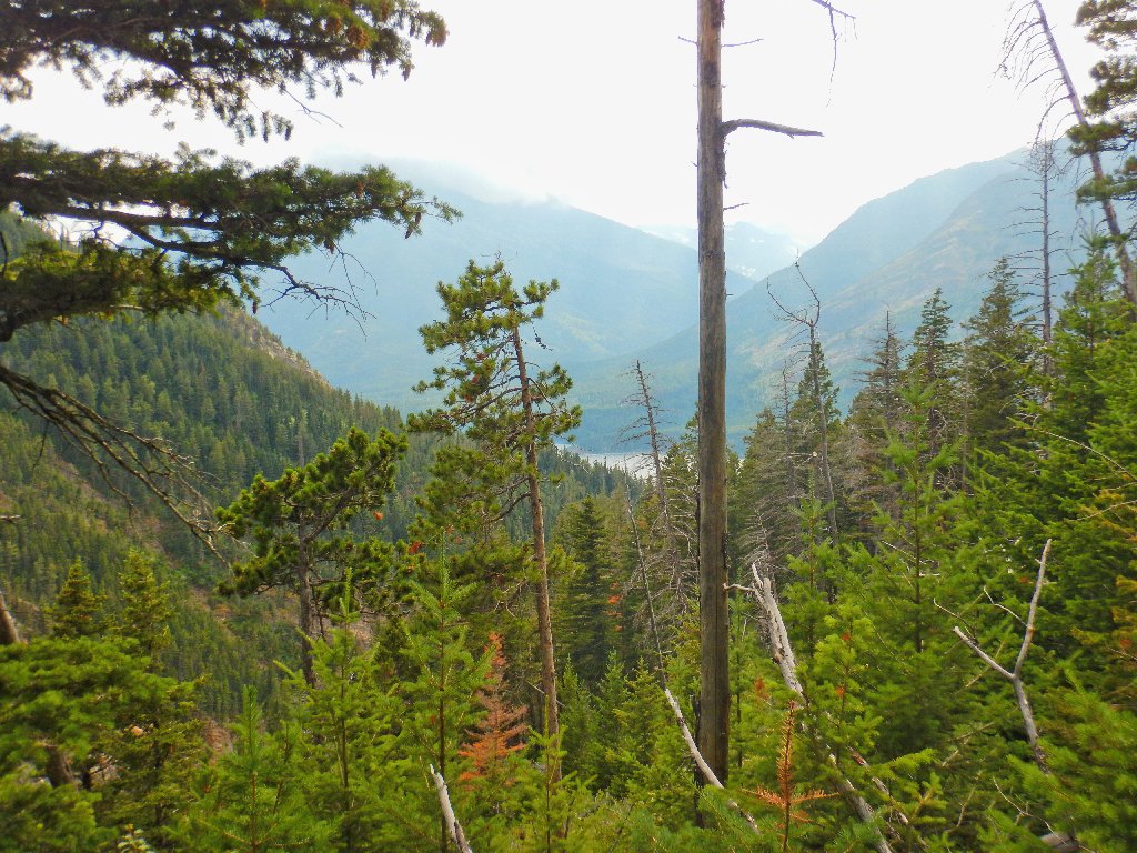
The lighting has improved somewhat
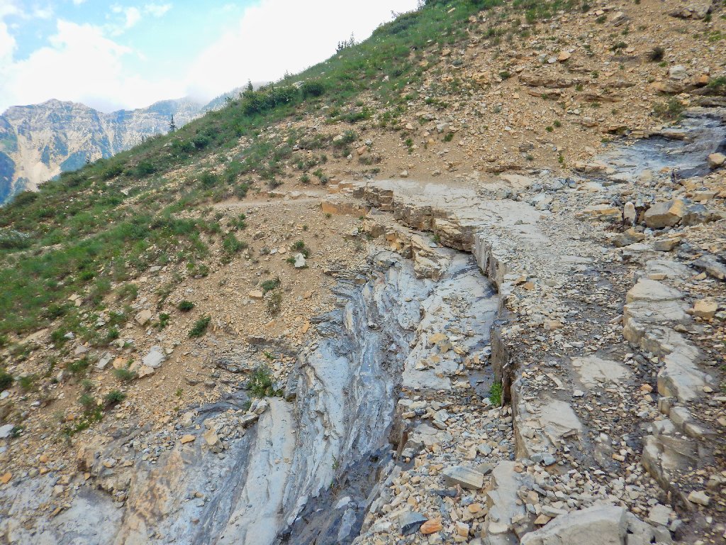
This nifty trail segment would be even better with some running water
A man and woman are stopped beside the trail, gazing forlornly at a water bottle that has fallen perhaps ten feet down a scree slope. Neither of them wants to risk going after it, because there is a big dropoff.
Brenda makes a motion to go after it, then pauses. That seems to be my cue for sliding down there myself despite admonitions to the contrary. Stretching to reach the bottle as rocks plunge over the cliff below, I hand it to the man, then must grab his walking stick in order to pull myself back up.
Well, that maneuver didn't seem like that big a deal at the time. Three of the others proclaim that they would not have done it, however; so perhaps it wasn't such a smart move. And maybe no one will tell my wife.
Back at Burnt Rock Falls, the scene is much better now. Oh, my!
This is why I go hiking
Beautiful
There's the bottle that had seemed so important
Fireweed
White Meadowsweet
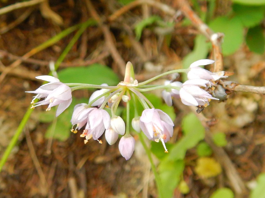
Nodding Onion
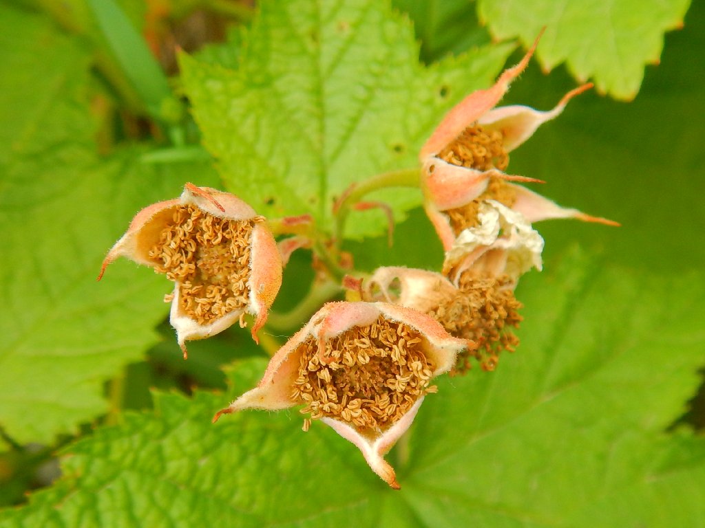
Thimbleweed
About now I have some mild concerns regarding the time. Making it back for the
four-o'clock boat ride is now out of the question, so the 5:30 taxi will be our
only chance to avoid spending the night on this side of the lake. Missing it is
not an option.
My GPS seems to have substantially overestimated the total mileage on the way in, so I am not sure how to gauge it now on the way out. It would seem that there would not be a problem, and some other hikers are traveling no faster than we are; but Brenda and I pick up the pace a bit anyway.
Now we must go uphill again for about two hundred feet
Looking back
Waterton Lake appears
Paul and Dave have not been seen for a good hour now, but Brenda and I press on anyway.
Well, I guess that we need not have worried, for the boat dock is reached
with half an hour to spare. Dave and Paul show up about ten minutes later.
It seems that there was an incident in which Dave slipped off the trail, and
apparently got some help getting back onto it — from the bottle guy!
"Your friend saved my bottle; now I save you!" he said. Is that Kharma?
Our ride approaches, right on time
We're back
§: Well, I certainly got my 'uncommon experience' today.
I don't know about ranking this hike in the world's top-20 in terms of
thrills, but it met my expectations and more. Hikers who suffer from vertigo
or dizzy spells, or who are not reasonably sure-footed, would do well to
find a different trail. Anyone without such problems, though, is pretty much
guaranteed a walk that never will be forgotten. On this one, it's not so much
the destination as the 'getting there'.
The actually "thrilling" section of today's walk is but a few hundred feet long,
but at any time a careless step could ruin one's day — or worse.
In particular, the skinny, highly exposed part just prior to reaching the tunnel
could benefit from a cable handhold; but then of course it wouldn't have been
as exciting. The boat driver assured us that no one ever has died on the
tricky section, but I suppose that there always could be a first time.
If this hike is not on your bucket list, it should be; for there is nothing
like it on this continent excepting over in the Bugaboos in British Columbia,
where access is by helicopter only. The nearest things to it in my experience
are Angels Landing in Zion National Park, which is more exposed overall but
offers fewer opportunities for a catastrophic fall; and the Precipice and Beehive
Trails in Acadia National Park, which involve a lot of ladders and metal
handholds. (Yes, there is Half Dome as well, but in my opinion it doesn't
measure up to the others in risk or 'scare factor'.)
| Scenery |  |
| Difficulty | |
| Personality |  |
| Adventure |  |
| Flowers |  |
| Company | |
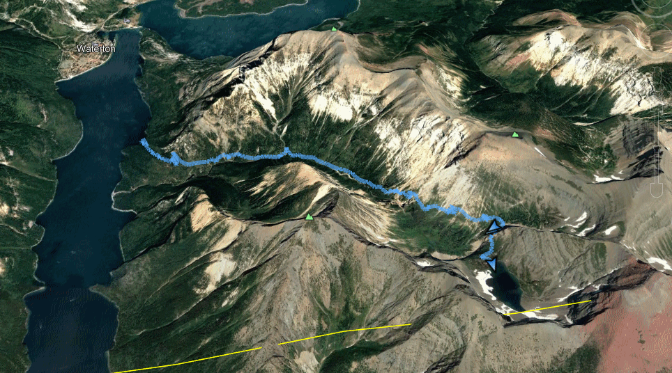
The yellow line is the international border

ADDENDUM
Compare the Crypt Tunnel ladder with this one on the Corona Arch Trail in Utah:
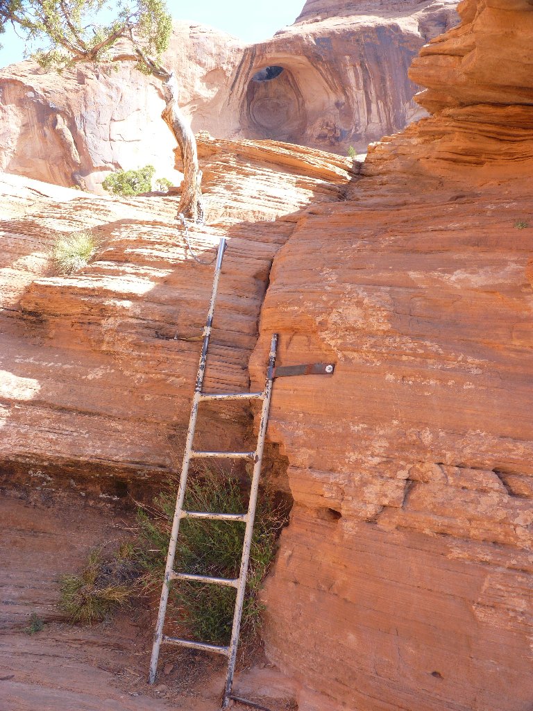
That helpful extra-long pole at the top makes a big difference
