
Selkirk Mountains, B.C.
|
Whitewater Creek Trail Selkirk Mountains, B.C. |
July 18, 2018
My original intention was to climb to a nearby area known as Alps Alturas; but my motel proprietor kept talking about the "huge elevation gains" for so long that he talked me out of it, and shame on me for that. The man did, however, offer a reasonable alternative within a short drive; so I will go for that one instead.
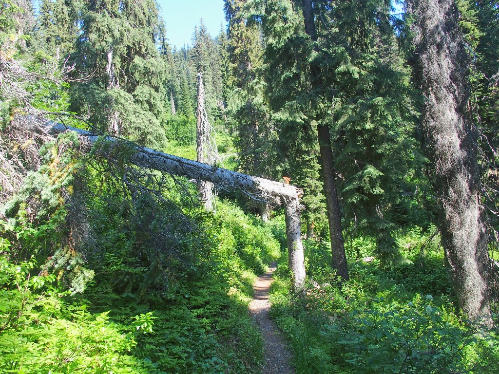
As with most trails around here, a rough, skinny two-track provides access to the trailhead.
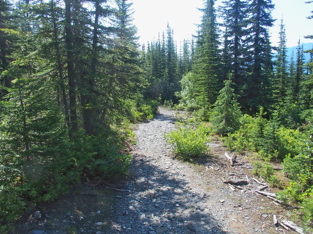
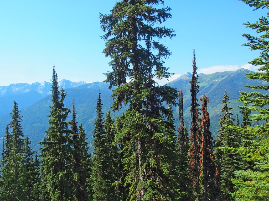
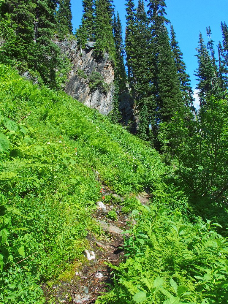
The is no lack of greenery in these mountains
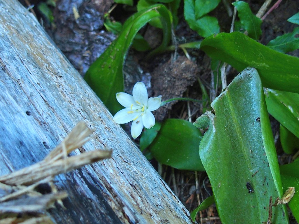
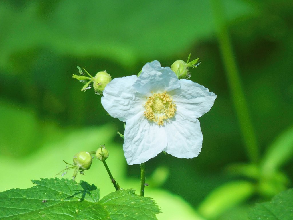
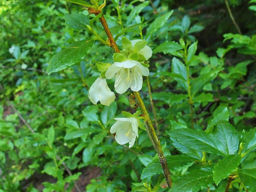
Bride's Bonnet
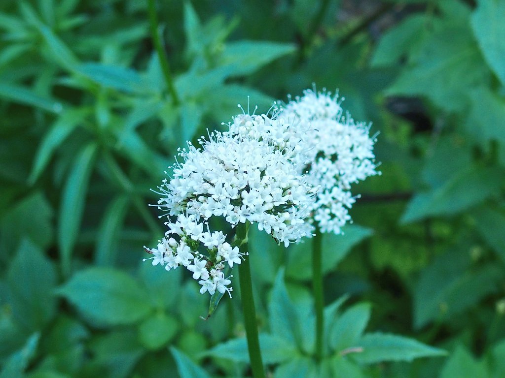
Valerian
Looking to the south

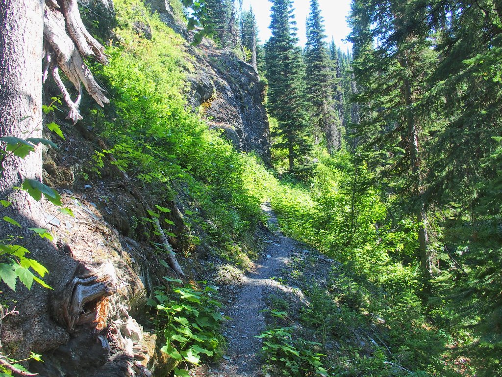
The foliage is thick on this side of the hill
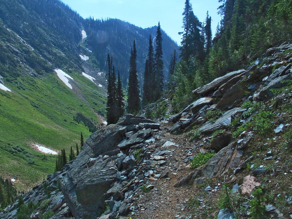
Is that a view ahead? Yes, it is.
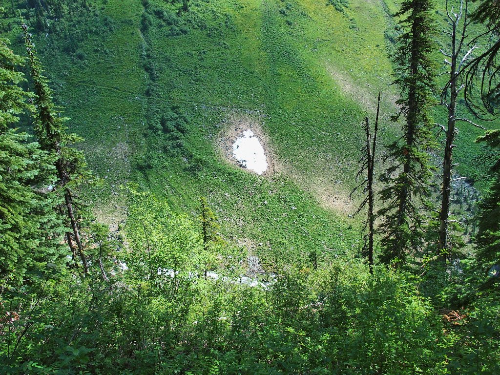
The original route traversed the other side of the canyon, where building a trail was easy. The inviting meadows on the far slope are a popular feeding area for the local grizzly bears, however; so the powers that be apparently were compelled to construct an alternative route over here instead. They didn't expend any unnecessary funding on it, though.
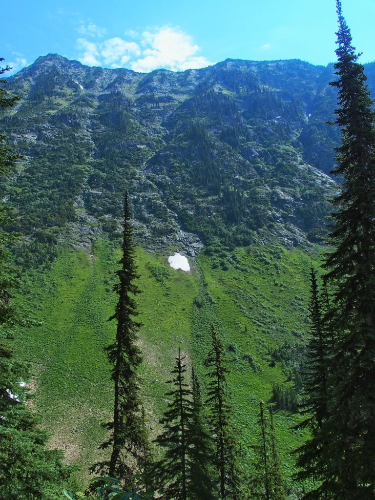
The east-side trail is now for bears only
I guess it is assumed that, because the other side of the canyon is so relatively easy to access, that all of the animals will be over there. It is quite steep and unfriendly over here, even with a trail.
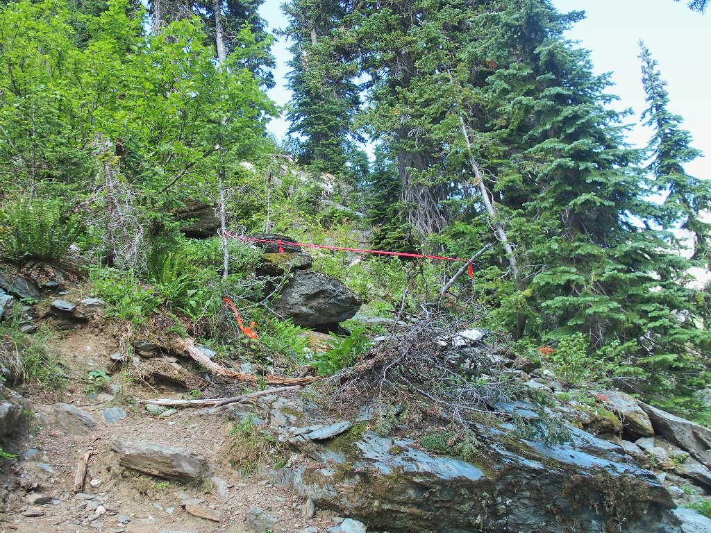
One of the better sections
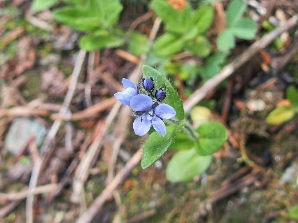
Alpine Speedwell
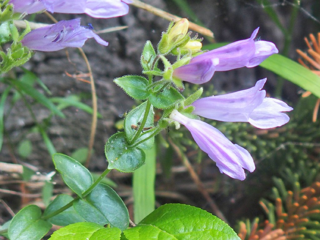
Cascade Beardtongue
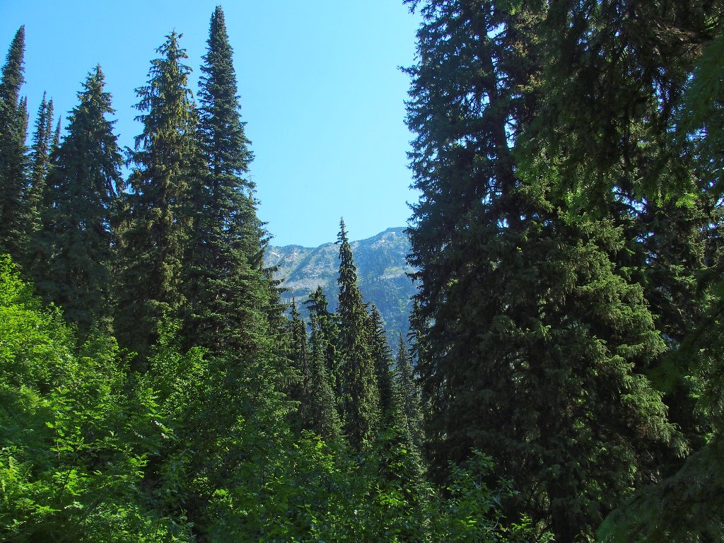
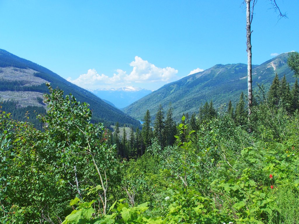
Finally, I get a nice view of the upper canyon.
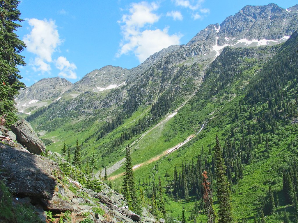
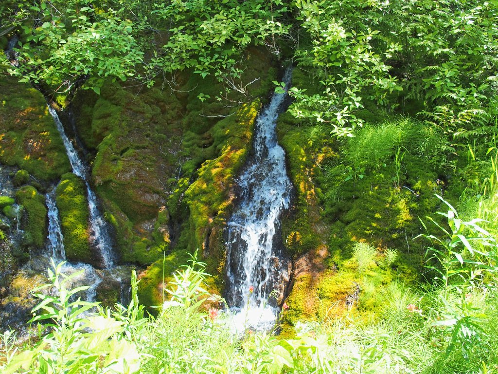
A long, beautiful cascade awaits me
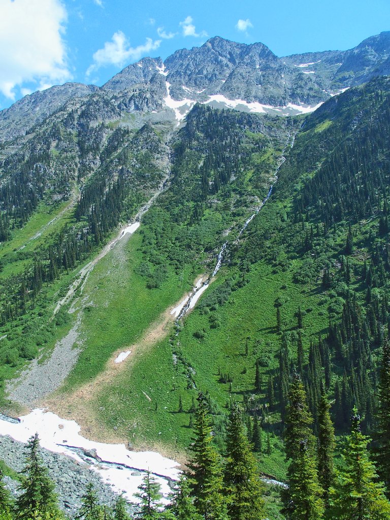
Actually, there are two of them
Another ten minutes of scree-hopping begets a somewhat better view:
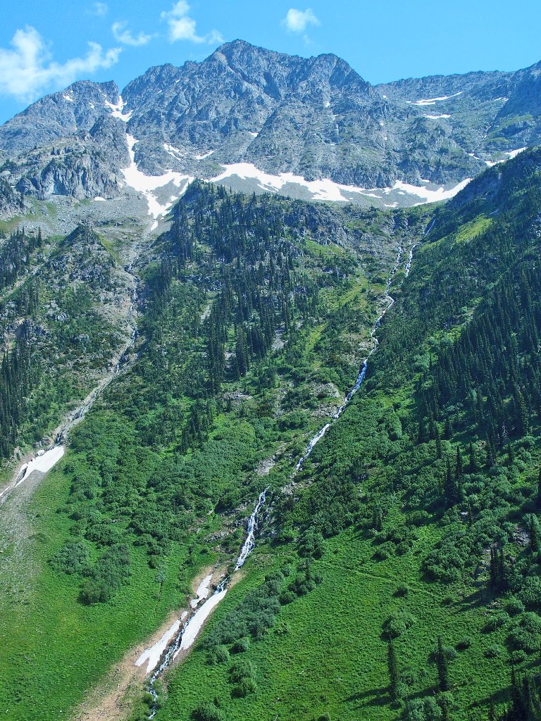
Zooming in on the cascade
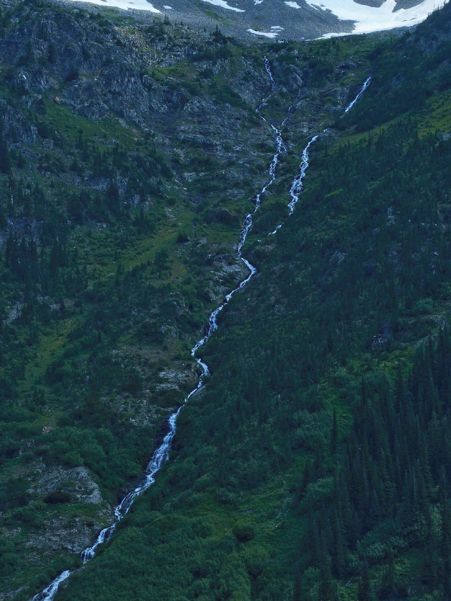
This intentionally underexposed view provides an interesting perspective on the water itself:
⇔
Doubtless there is more good stuff around the corner; but the trail clearly isn't going to improve, and the views won't change much for quite a while. There are lakes and other spectacular stuff ahead, but they are well beyond my mileage range. I have seen enough of this area to satisfy me.
Starting back
Another consideration is the fact that I am hiking solo out here in bear country, and all the guidebooks and park brochures say not to do that. Clearly, the fact that I am out here at all shows that I am not paranoid; but I have little to no company here, and my bottle of bear spray is three years older than its labeled expiration date. Those are my excuses.

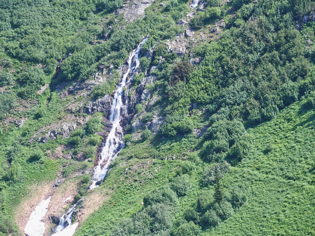
A final look at the falls
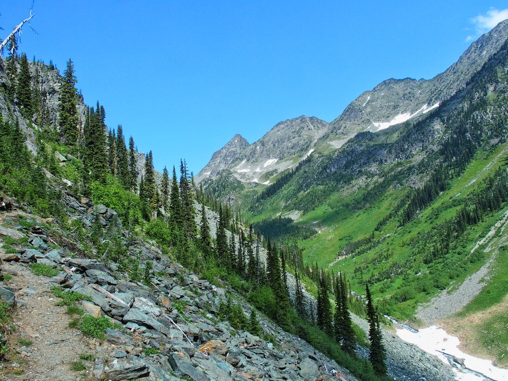
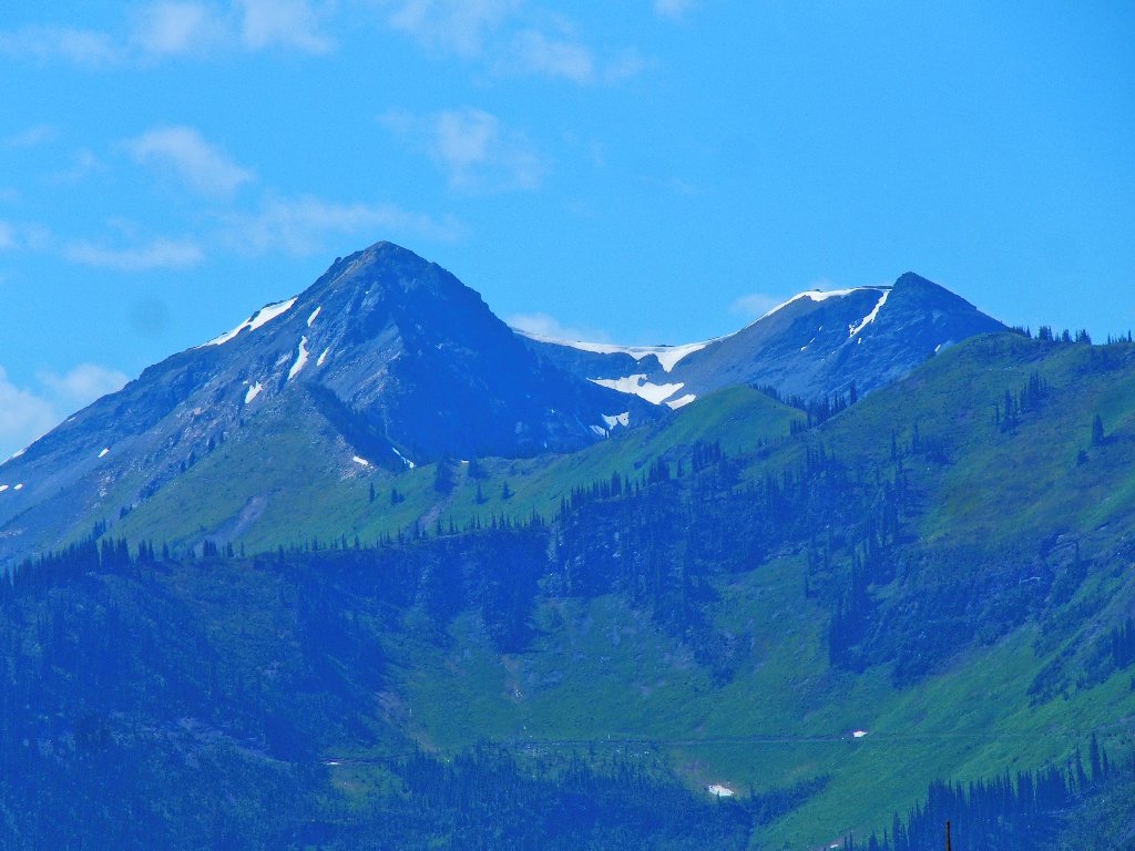
That's Whitewater Mountain, 9081', to the left
Use the switchback, dummies!
No feeding going on this early in the morning
Presently, I startle some creature on the trail. Having been informed that there are no rattlesnakes in the area, I am not concerned; but what does appear is a first for me:
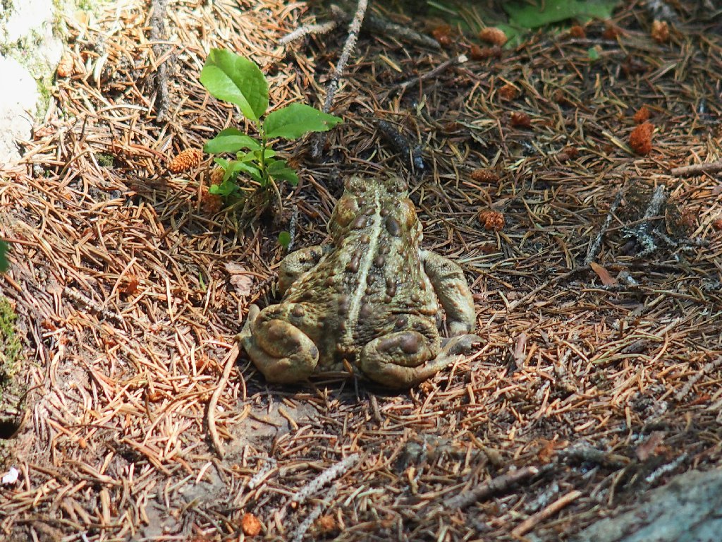
The biggest toad I ever saw — 5-6 inches long, curled up
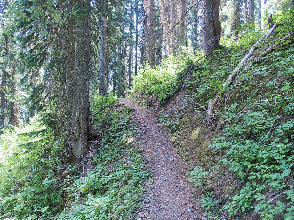
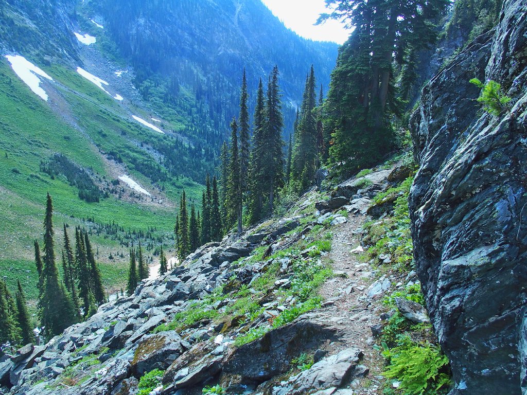
The path is better now
Thimbleberry
Cascade Azalea

Slogging along
I meet one couple of hikers coming my way, but they are the only humans I would see on this walk.
Nearly finished
§: Well, I did get my exercise for the day, and without any
unpleasant encounters. The nice view of the long cascade is all that saved
this walk in the ratings, however.
For the record, I did test my six-year-old canister of bear spray just prior
to leaving home. A short blast worked perfectly well; and when the wind
shifted in my driveway, I got to experience the spray's effects
first-hand. A sneezing fit was the result.
| Scenery |  |
| Difficulty |  |
| Personality |  |
| Flowers | |

Google Earth Trail Map

On the way back down to the highway, there is an unlikely sign beside the road:
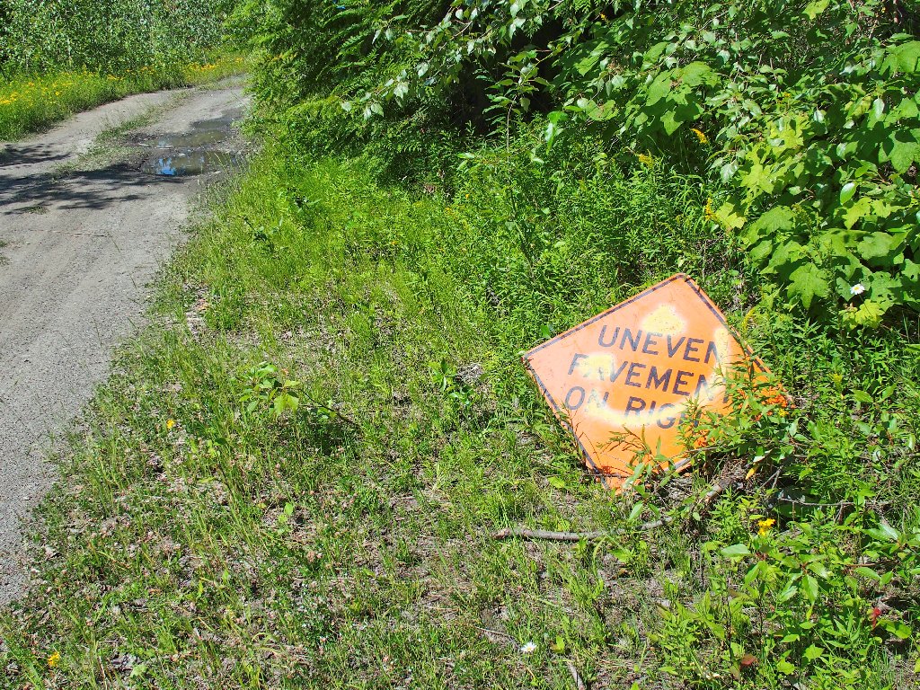
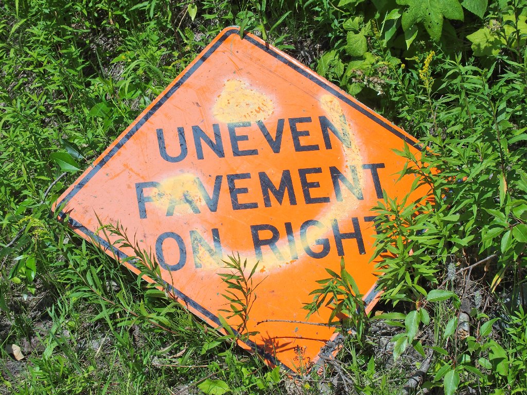
What pavement?
Tonight's lodging is in Revelstoke, and the only way to get up there is to ferry across the lengthy Upper Arrow Lake on the Columbia River.
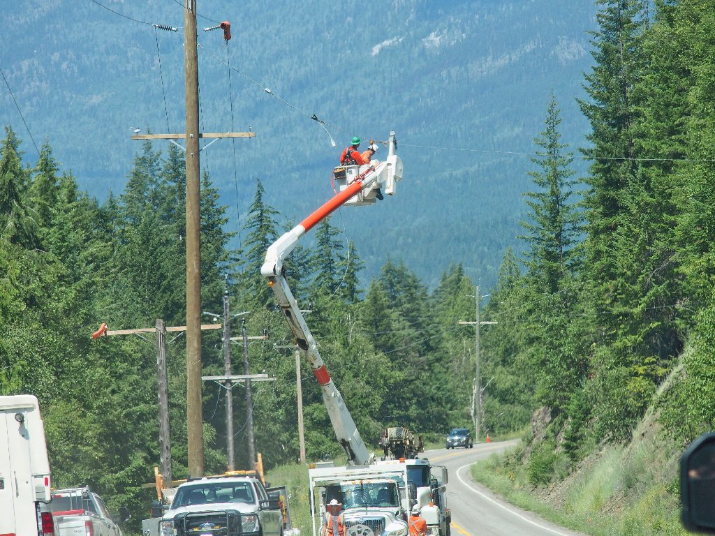

The road is an obstacle course
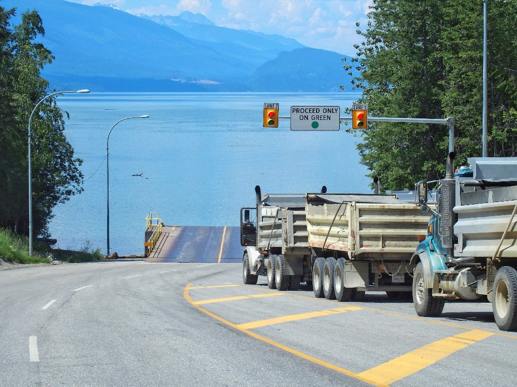
Approaching the ferry
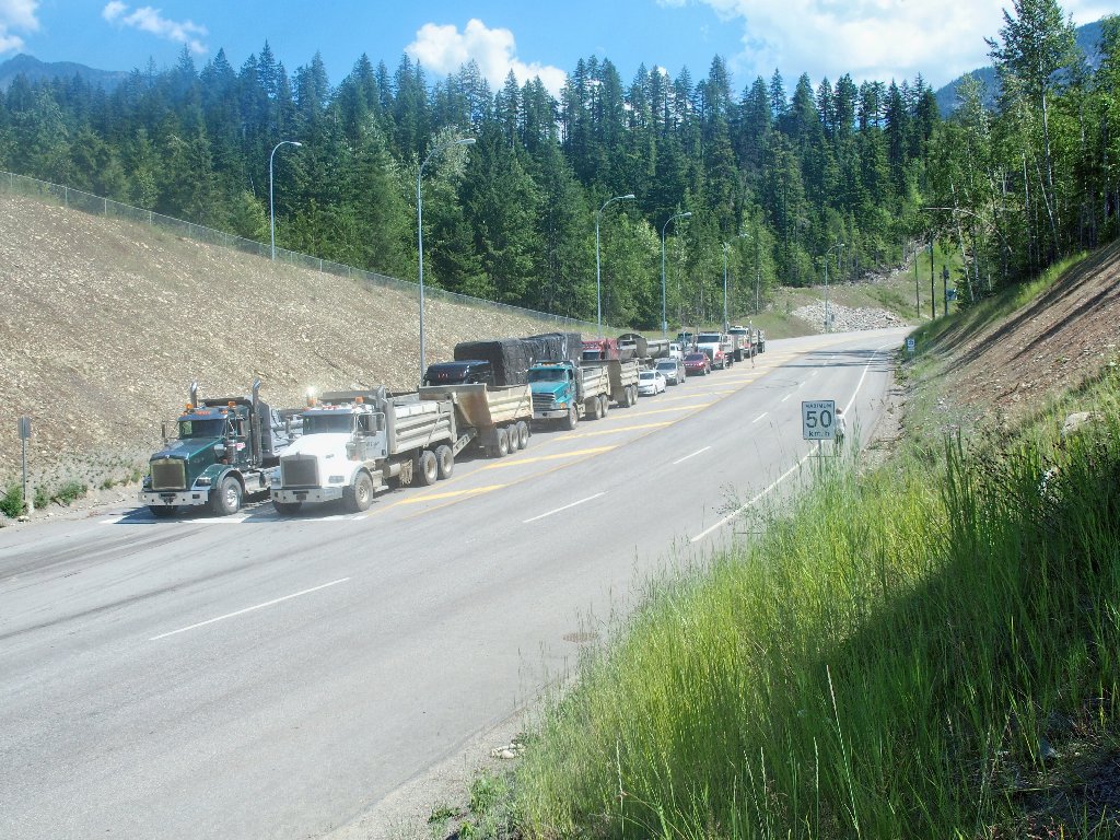
I am fourth in line, which is good
I must wait nearly an hour for the next ride, so there is plenty of time to explore the nearby hilltop and its view of the lake. This is not why I drove to Canada, but the trip is just getting started.
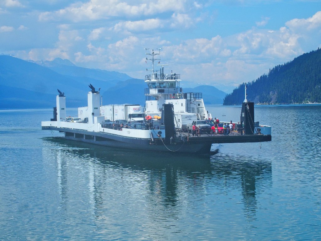
A free boat ride!
