
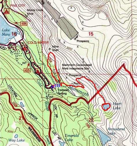
John Muir Wilderness
|
Heart Lake at Mammoth Lakes John Muir Wilderness |
June 13, 2018
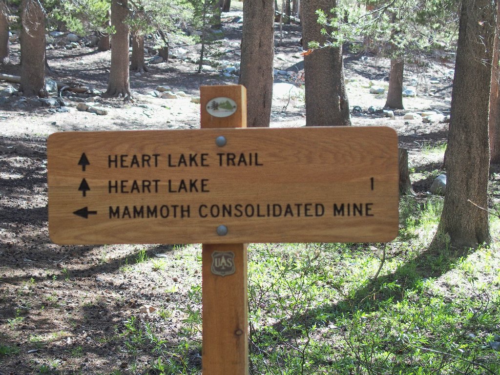
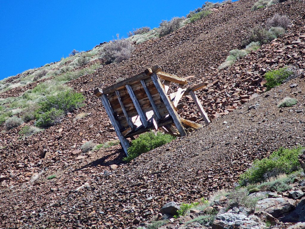
My hiker buddy Gary loves to photograph old mining memorabilia. Some of that is right here near a couple of trailheads, so we have driven up from Bishop for the opportunity.
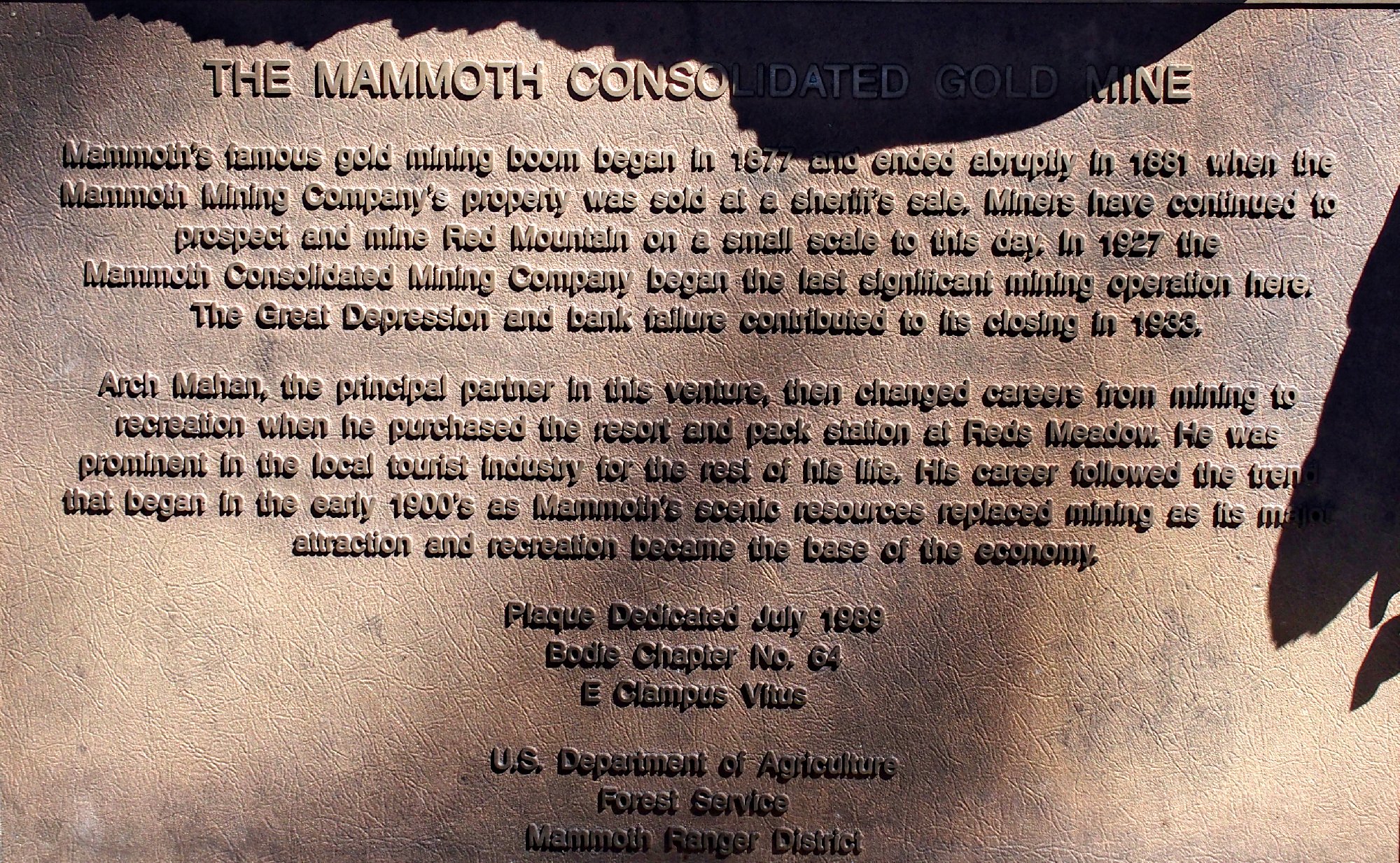
The sign says that the mine was functional for about six years, until the Great Depression caused financial chaos.
⇔
Enough remains have been preserved to be interesting.
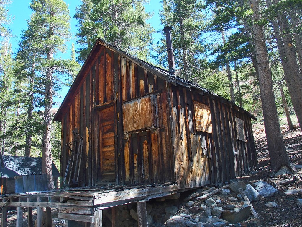
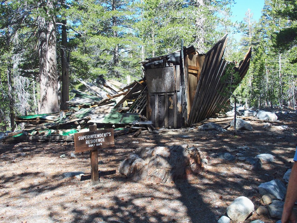
Miners' quarters
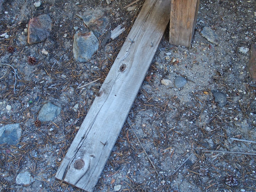
Those nails are pointing upward. I'll turn them over.
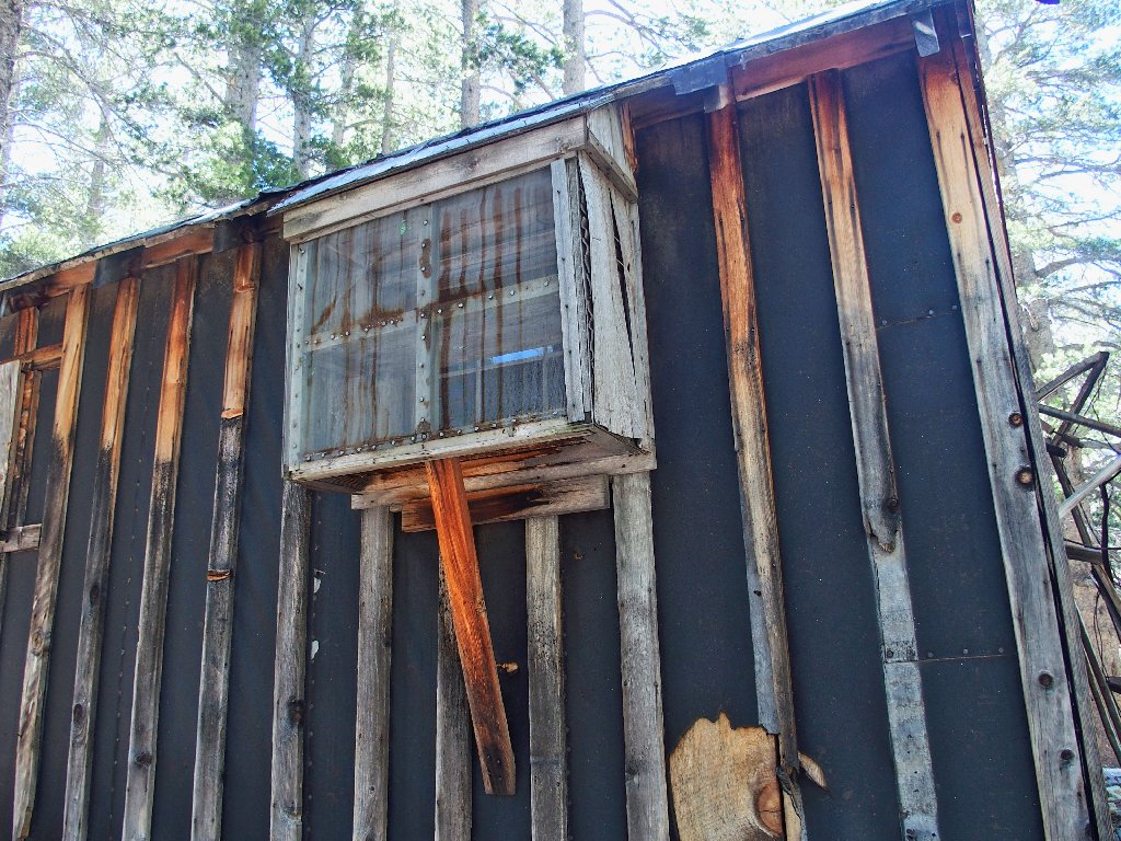
Bay window?
Canary cage?
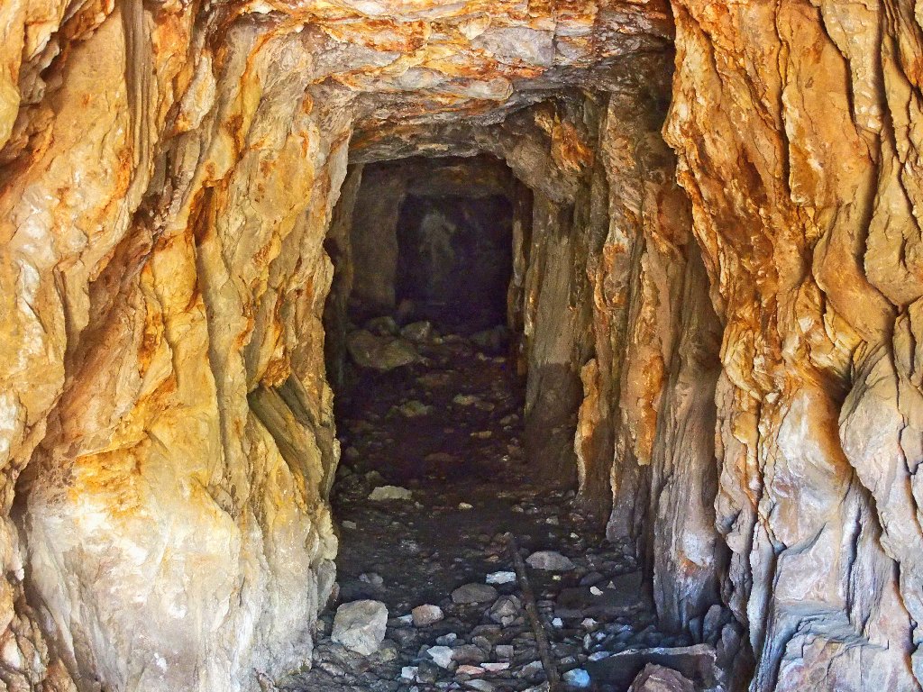
Gary finds a little trail heading upward to 'Lower Adit'. An adit is an entrance to a mine shaft that is horizontal or nearly so.
Heading toward the mine entrance
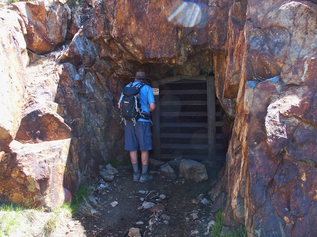
Found it
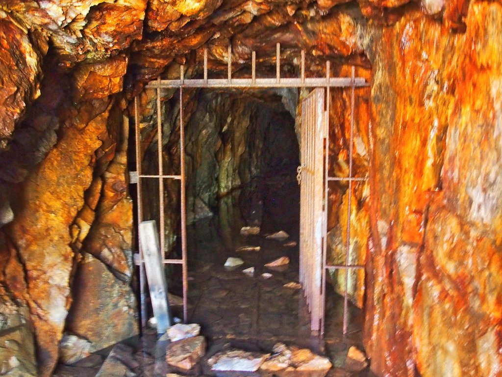
The shaft is filled with water
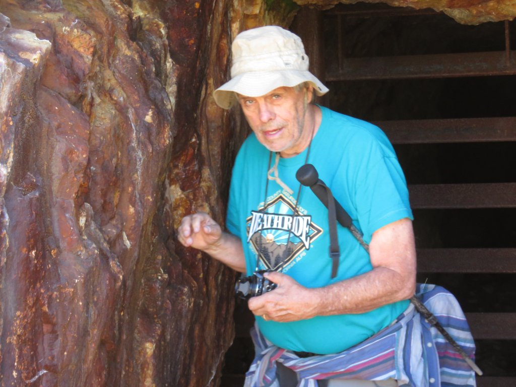
Yours Truly
On to the next shaft
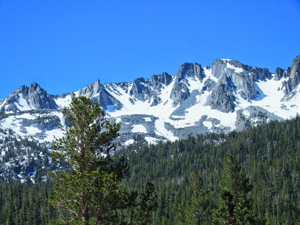
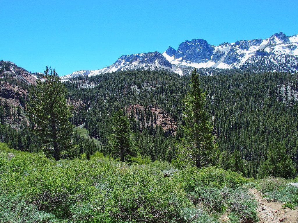
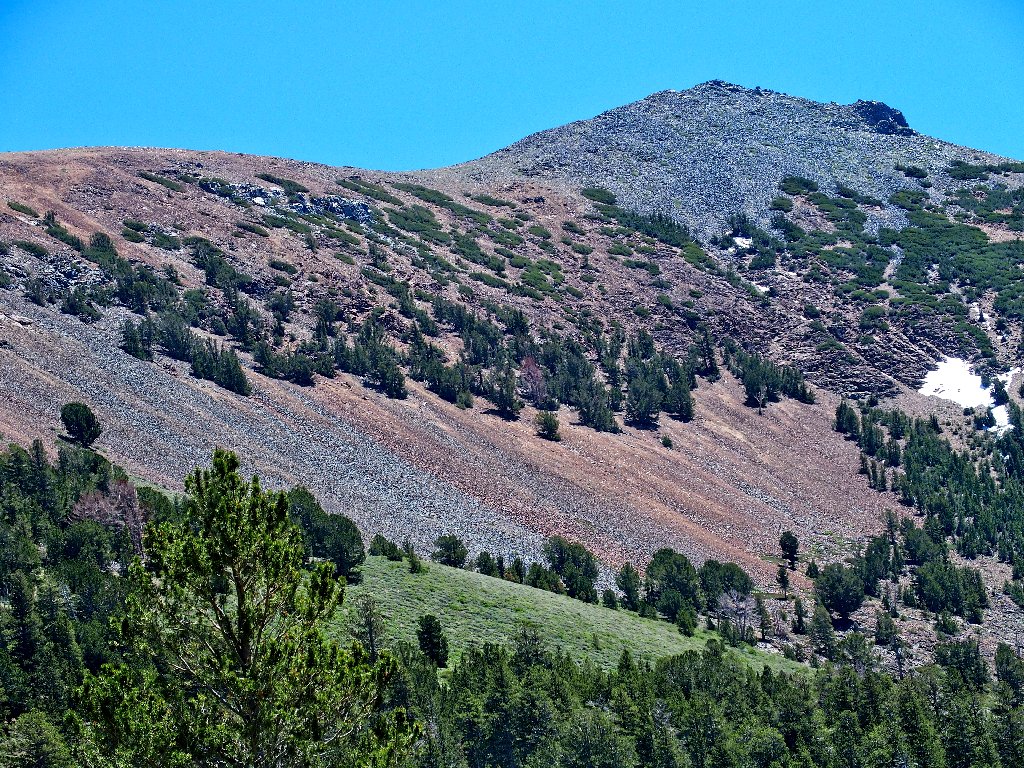
The Mammoth Crest is beautiful
Upper Adit
(I removed an inaccessible beer can from the photo above.)
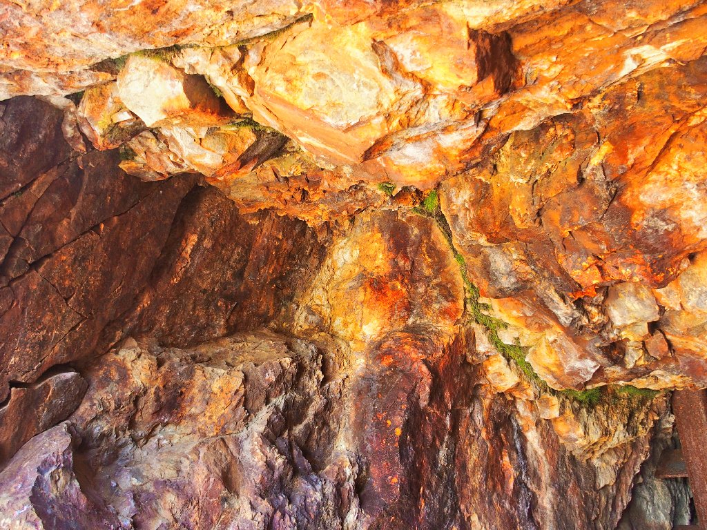
At the entrance
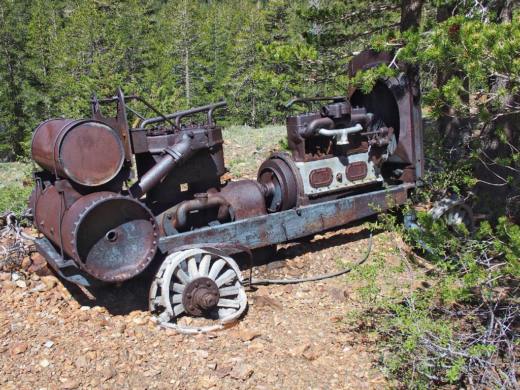
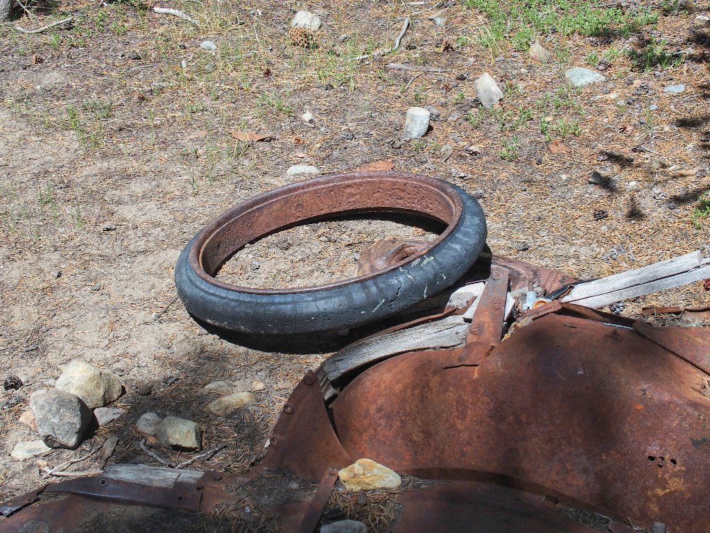
An old car, vintage 1920s
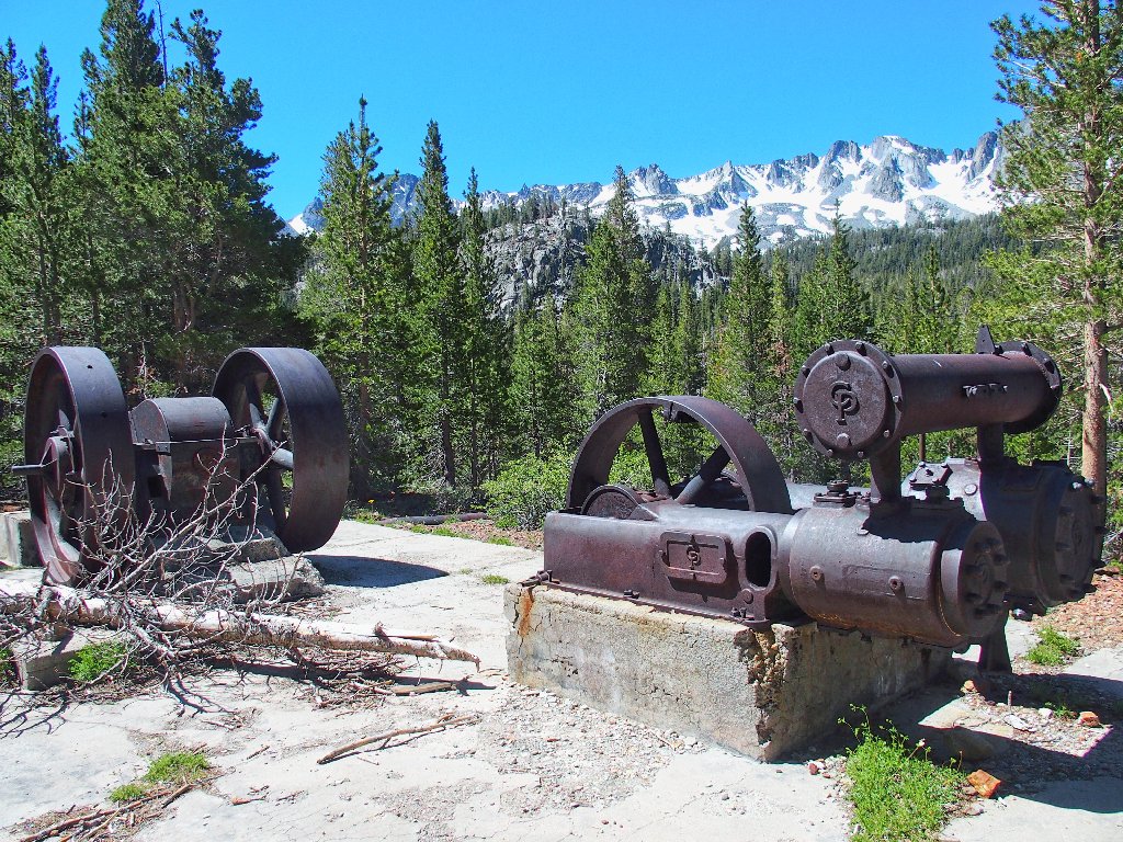
Air compressor

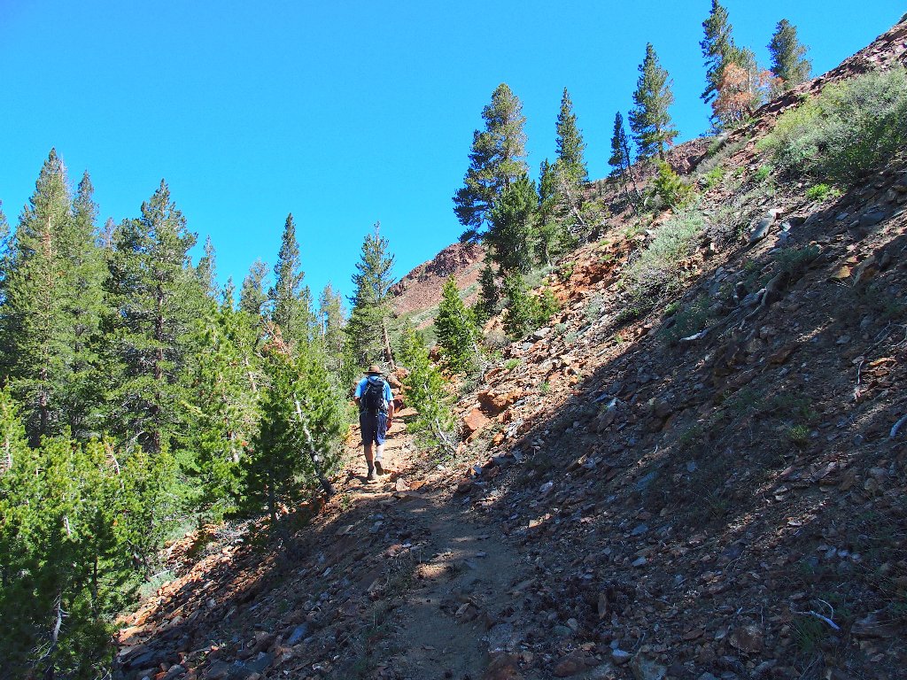
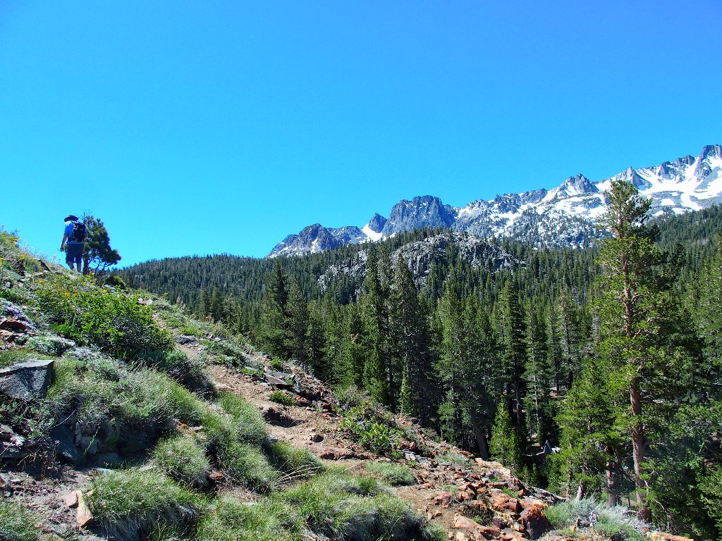
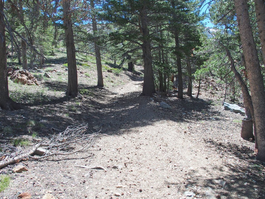
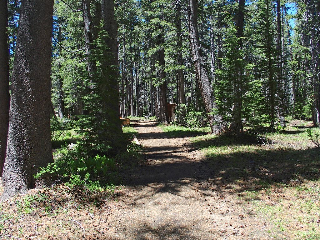
Okay, we've done the mine thing; now, it's time for a hike.
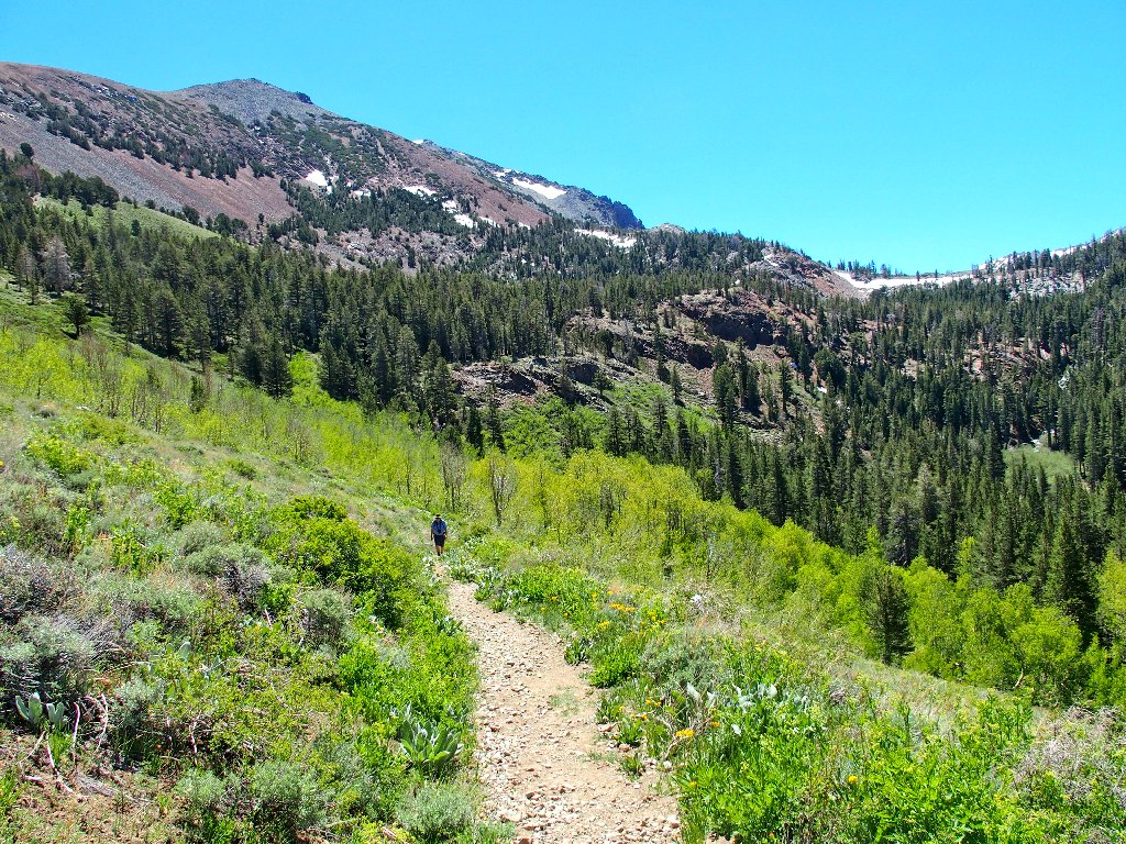
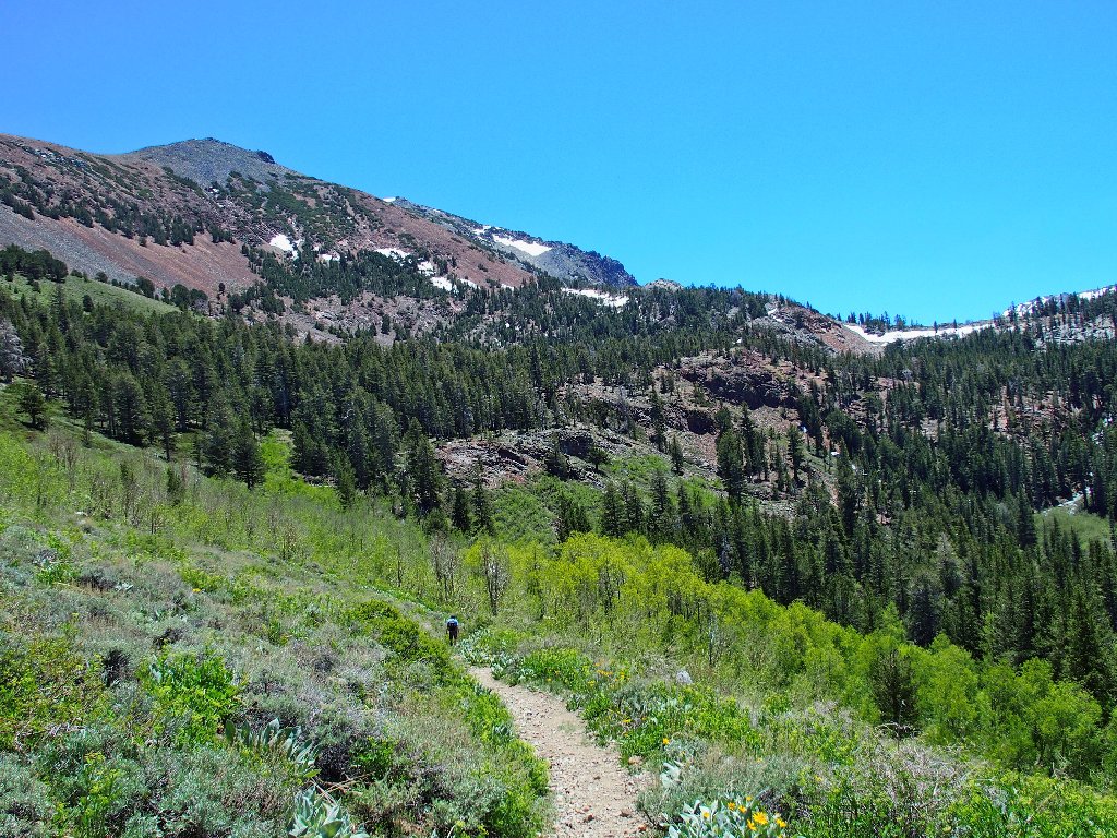
Starting up toward Heart Lake
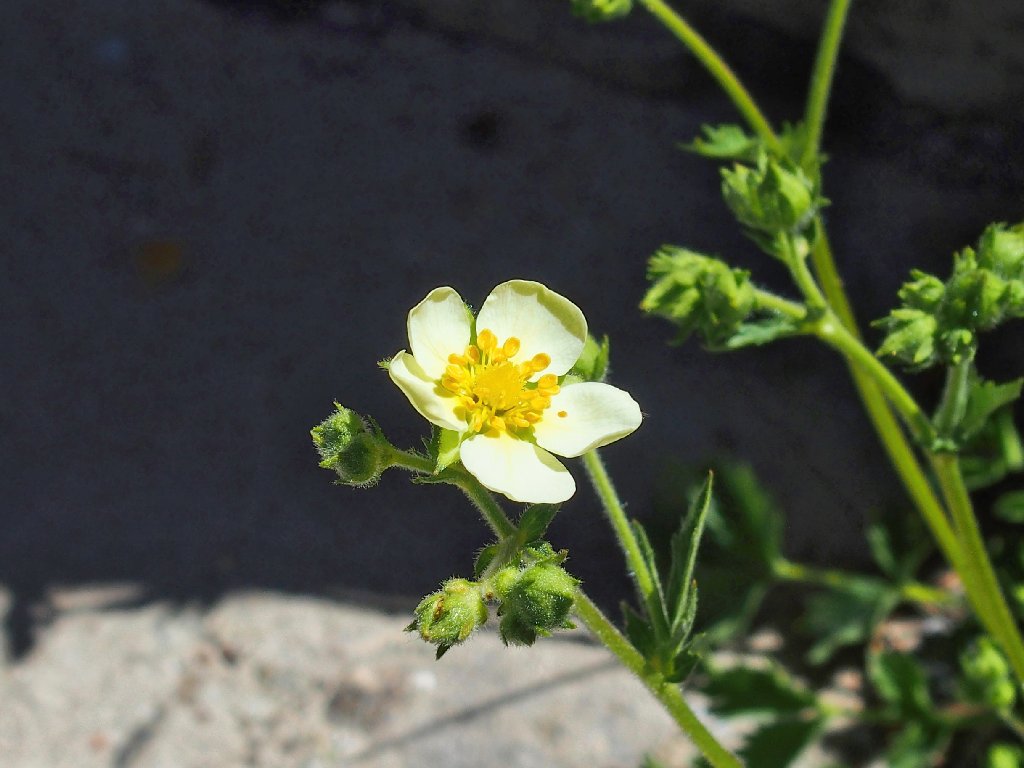
Tall Cinquefoil
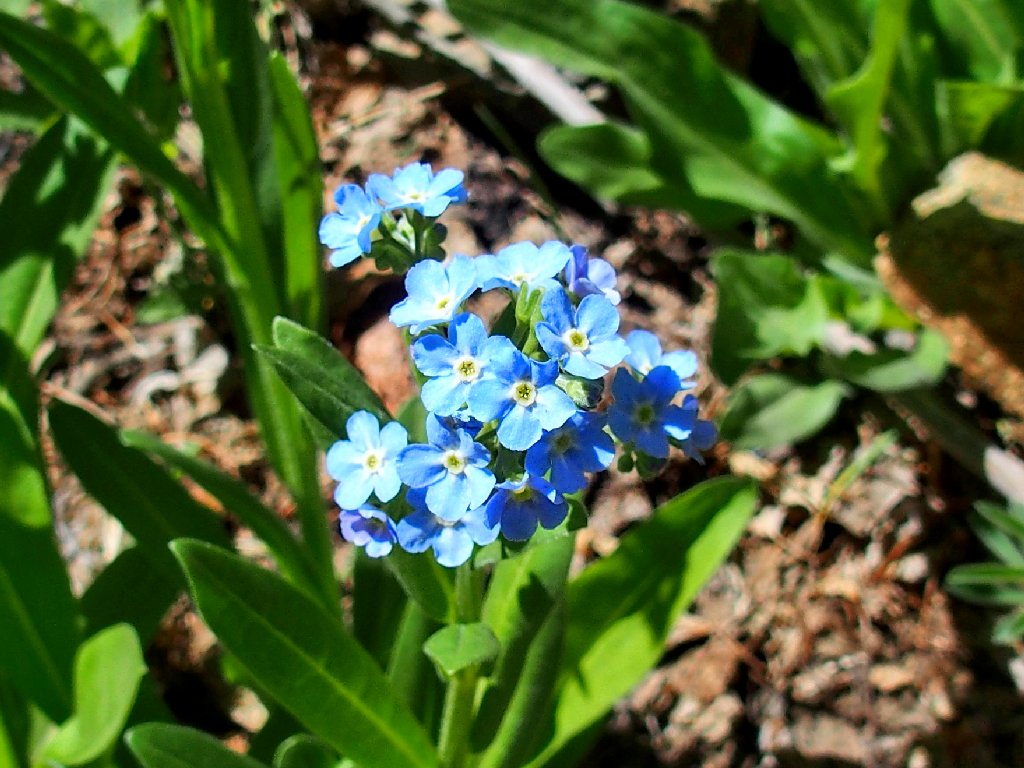
Sierra Stickseed
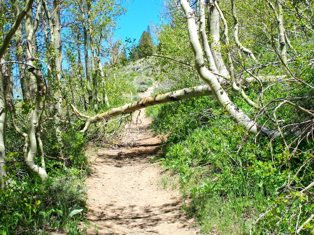
I crawl under the obstacle; Gary climbs over it
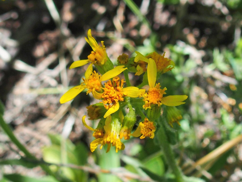
Columbia Groundsel
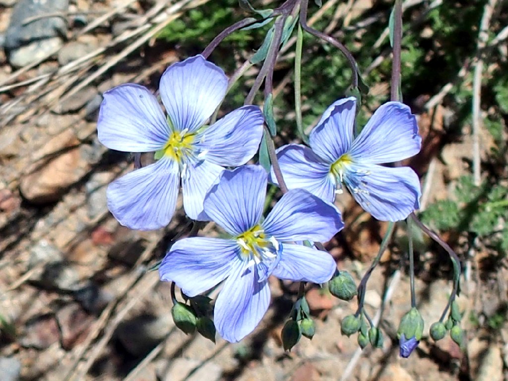
Blue Flax
There's a lake up here?
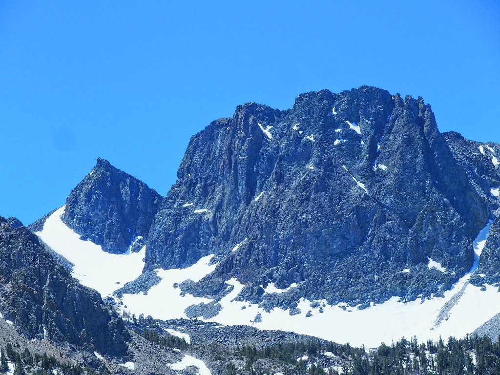
That one is called The Thumb
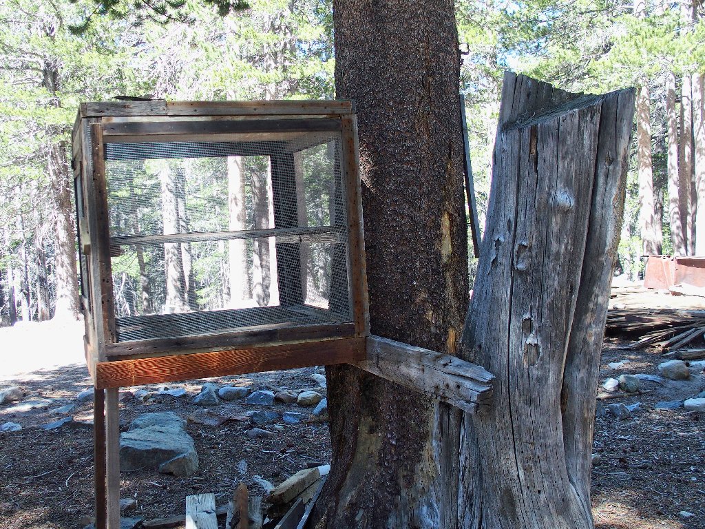
Function unknown
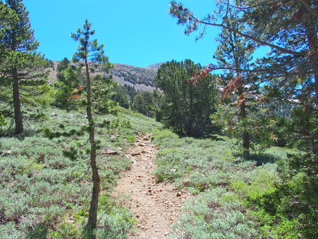
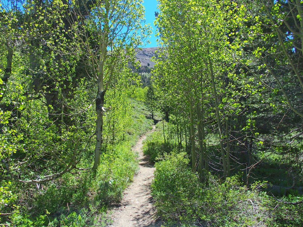
The trail keeps going
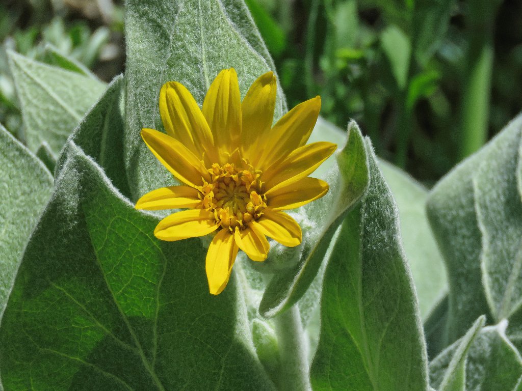
Mule's Ears
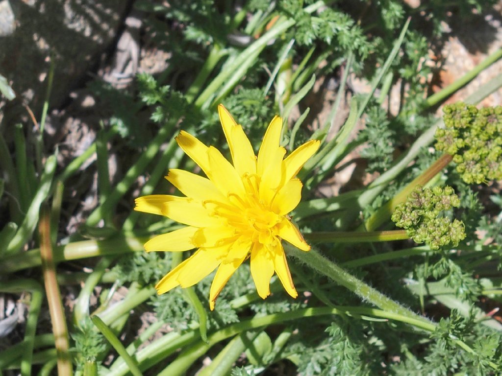
Mountain Dandelion
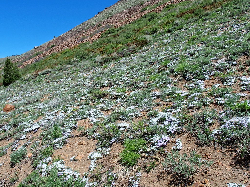
The biggest Phlox garden my partner has seen
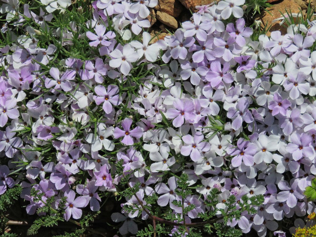
Spreading Phlox
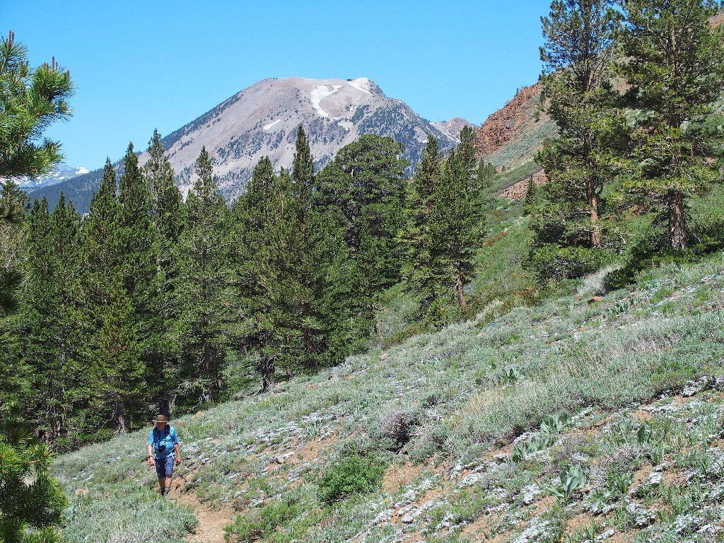
In the shadow of Mammoth Mountain
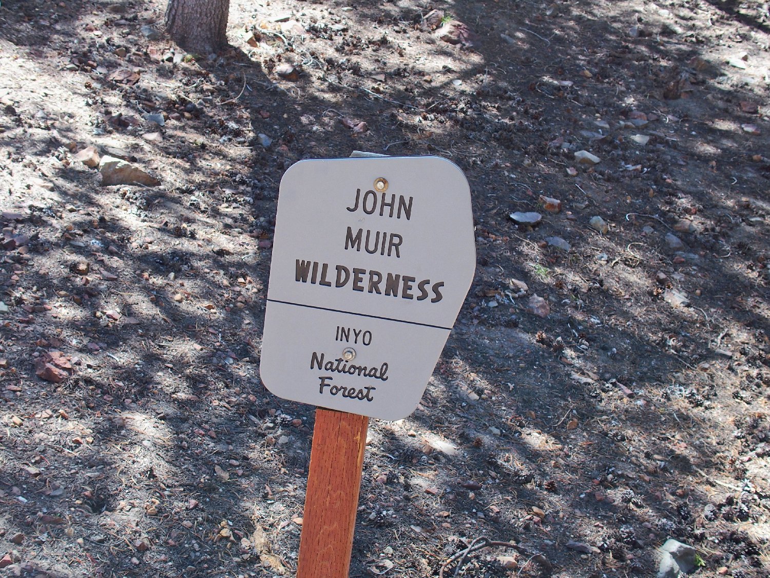
The new signs are much smaller and more weather-resistant
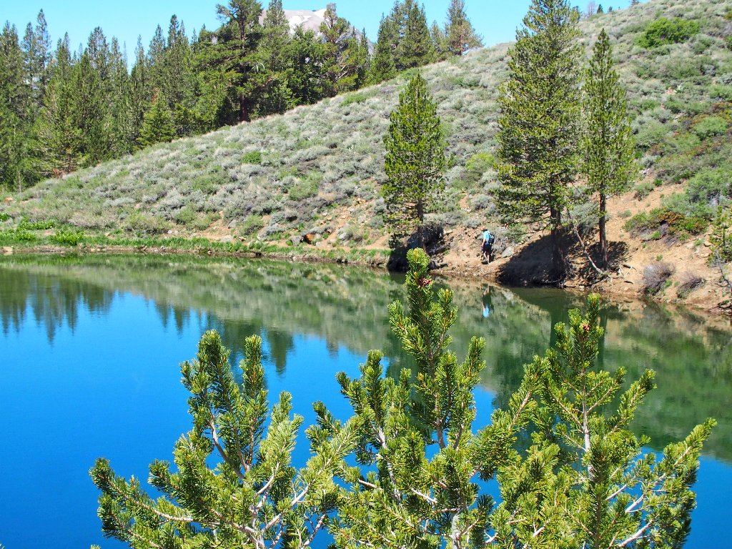
Within another five minutes we reach an actual lake.
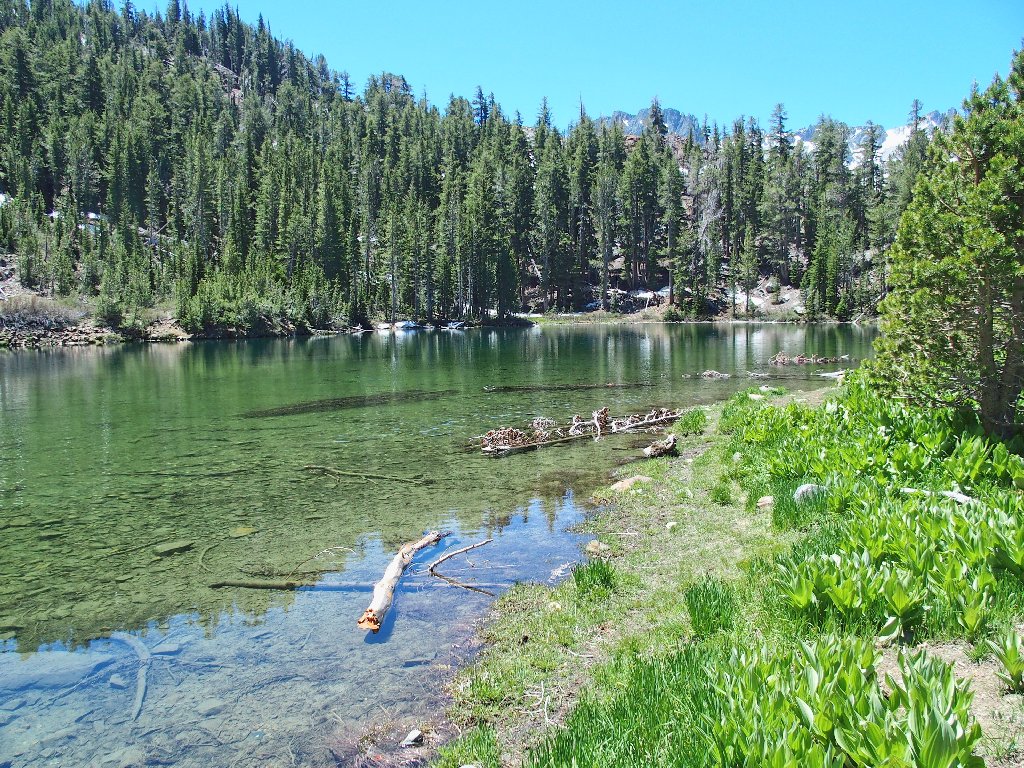
There's water here

Heart Lake has a nice skyline
Of course, I want to circumambulate the lake. Because this is his second consecutive day of hiking after a recent surgery, Gary declines the extra work on this occasion.
Heading back
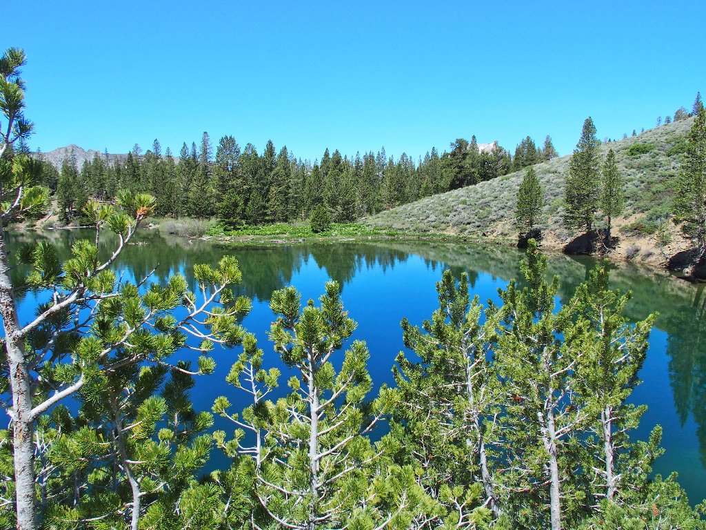
Continuing around
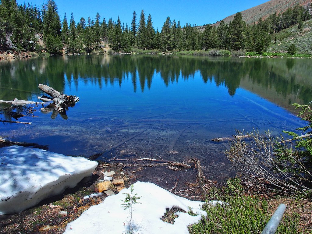
Near the inlet are a few patches of snow
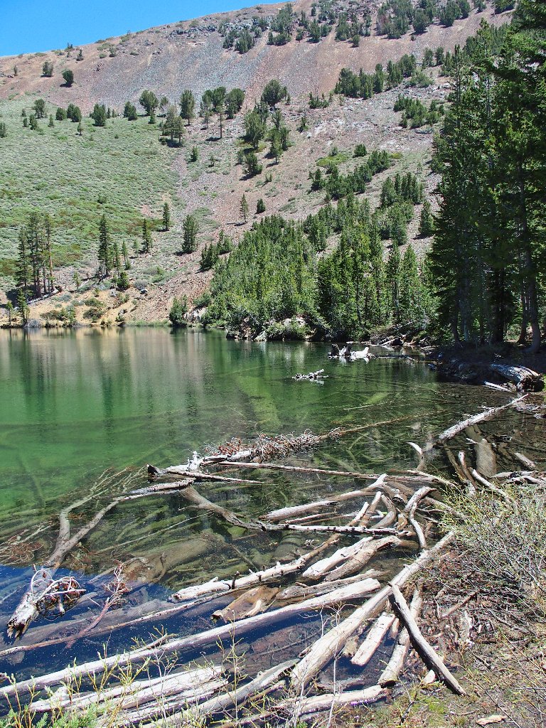
Driftwood is photogenic
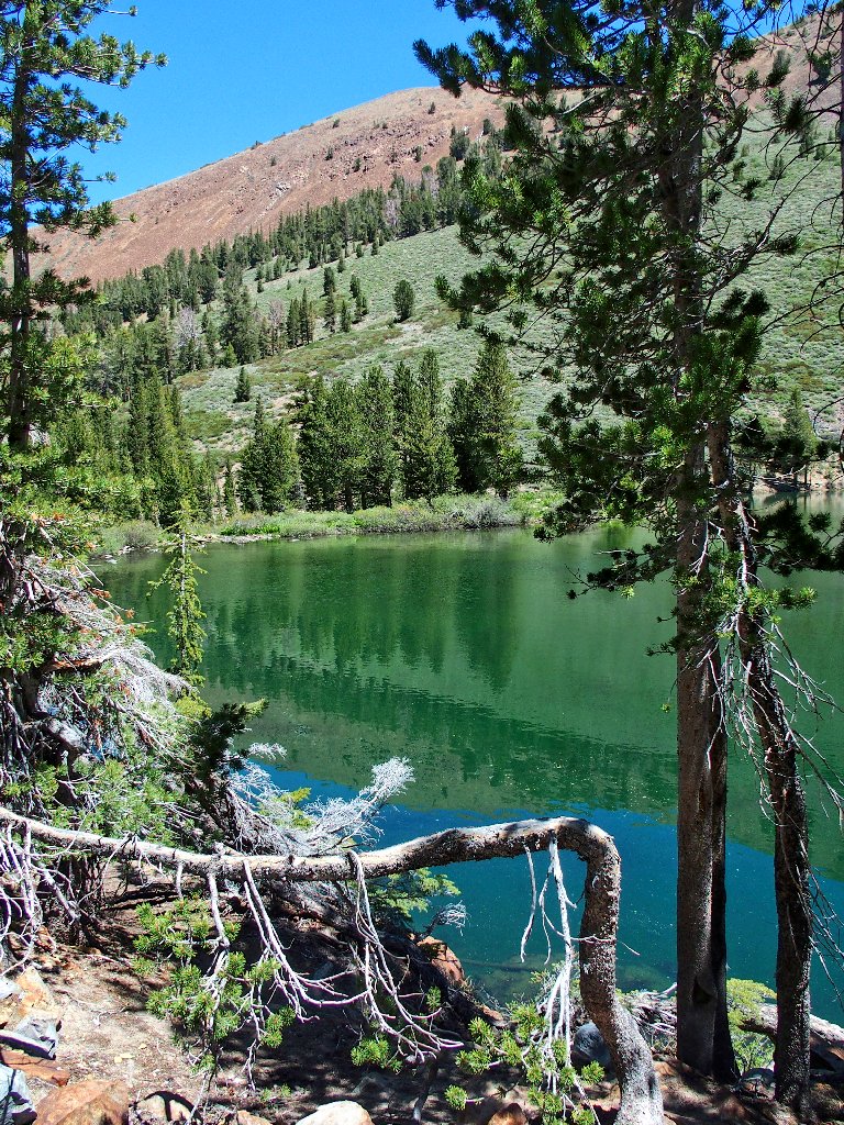
Green reflections
Back at the starting point, it is time for a snack.
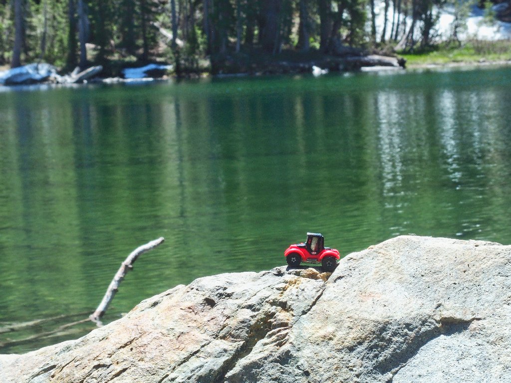
Carmine likes it here
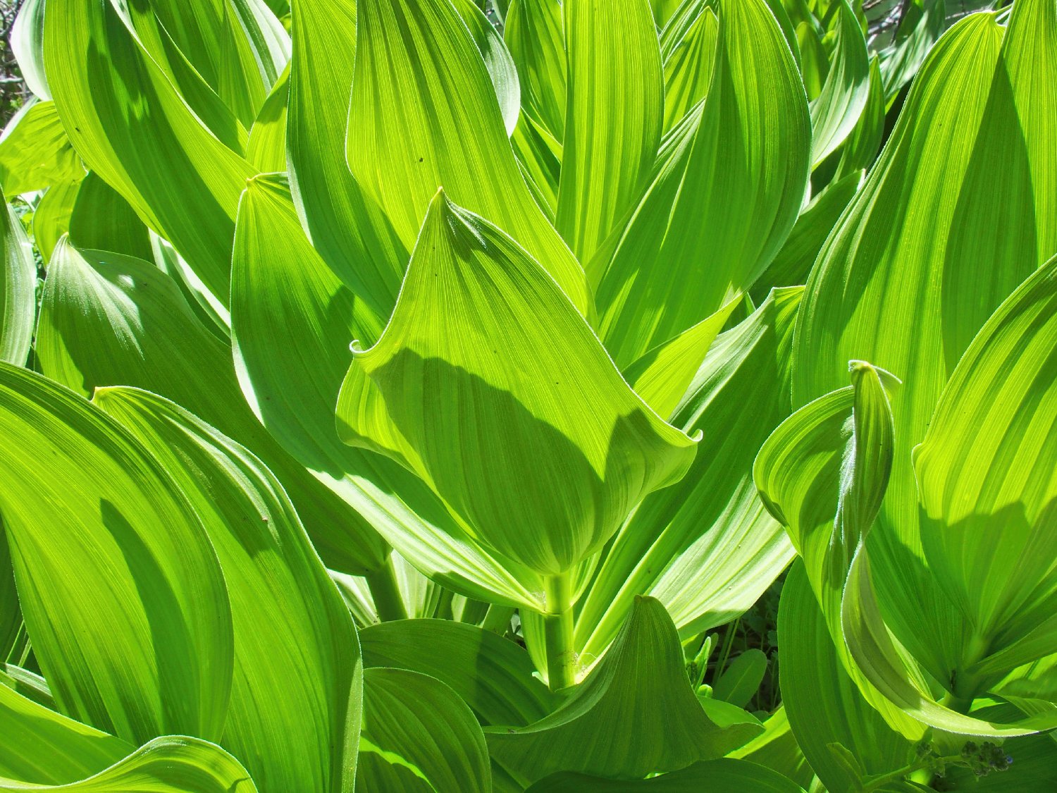
Corn Lilies have texture (see Addendum)
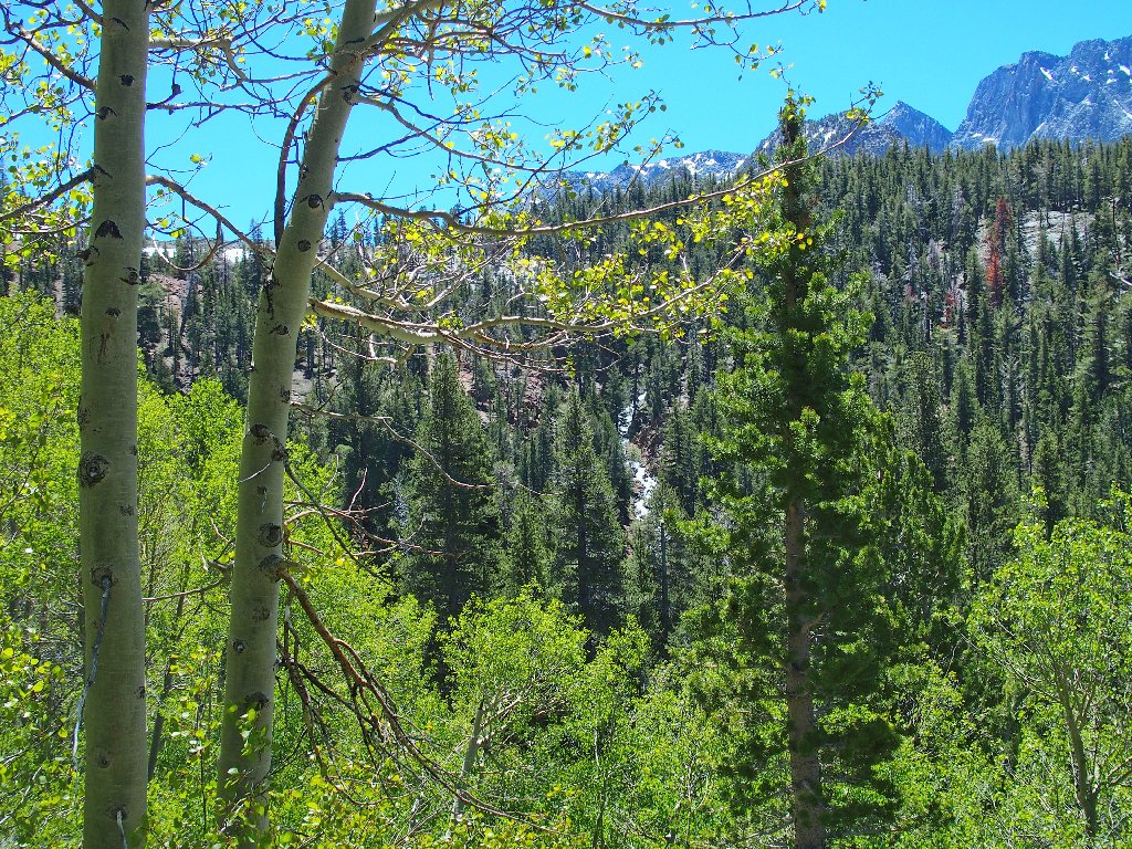
On the way back, the sounds of the cascading Cold Water Creek are
everpresent; but no good photo-op is available.
Duck Pass is over toward the left
I climbed up to Duck Pass and Duck Lake four years ago
(Hike #253); and I would do it again
if prompted, if only to revisit the exquisite Barney Lake.
Nice colors
Down the sunny switchback
Cold Water Creek
Some blogs and signposts specify the name "Coldwater Creek"; but the name on the U.S.G.S. topographic map is "Cold Water Creek", so that's that.
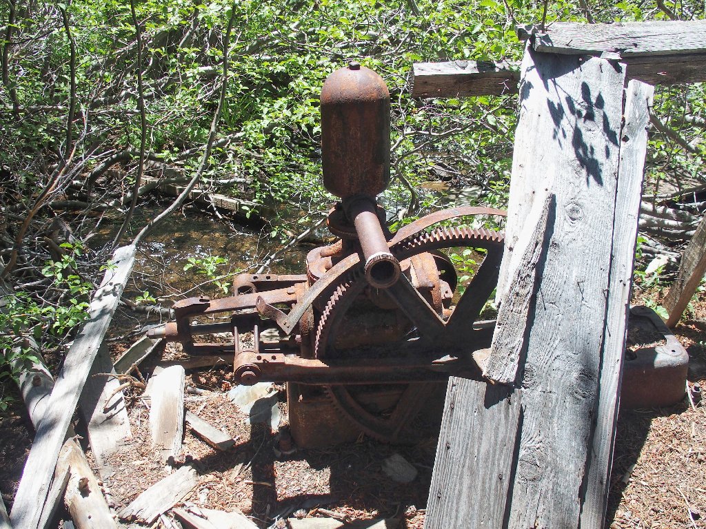
The mine's water pump
This hike is over soon enough, but it feels as if we walked more than a mile each way.
End of the line
§: This was a pleasant outing, although Heart Lake might be
the least popular destination in the Mammoth Basin. Unexpectedly, we
weren't bothered by mosquitoes. Back in the 1970's, I was driven out of
the area by the Cold Water Creek Horde.
| Scenery |  |
| Difficulty |  |
| Personality | |
| Flowers |  |
On the drive home, Gary and I ventured over to the Owens River. Underneath a bridge we discovered a nesting site for hundreds of Cliff Swallows.
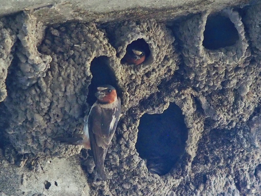
Feeding time
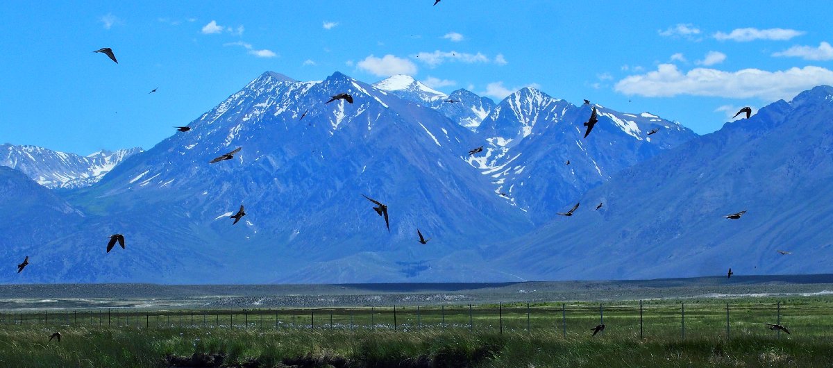
Collecting goodies for the babies
At the subsequent Bishop County Fair, Gary won a blue ribbon for his
black-and-white photograph of those same corn lily leaves.
