
Crystal Basin Recreation Area
|
B-17 Crash Site Crystal Basin Recreation Area |
June 10, 2018
In late October of 1941, an Army Air Force B-17C Flying Fortress departed Salt Lake
City to have an engine replaced at Mather AFB in Sacramento. After a stopover
in Reno on account of bad weather, the crew tried to make it over the Sierra on
October 31. Serious problems ensued, resulting in total loss of control
of the plane. Partly because of the pilot's foresight, the crew members already
had their parachutes on. As the plane broke up, the eight crewmen were able
to escape through some opening or another. All survived excepting the pilot
himself, who went down with the plane.
The Army immediately recovered the engines and other vital parts; but the rest of
the wreckage was left in the deep forest, where it remains to this day —
that is, except for some parts that have been vandalized. That is why the
Forest Service will not share information regarding the site's location.
"If you can find it, fine; but you're on your own", they say. Others have
provided some vague online directions, however; and I hope to make good use of
them today.
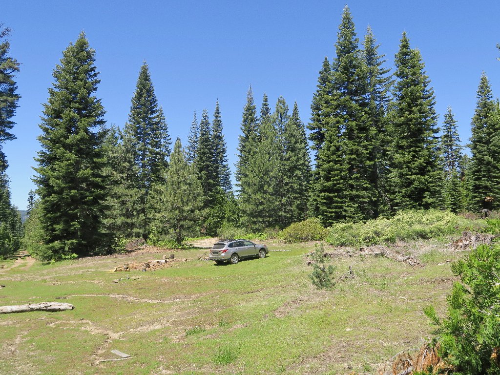
The bad road ends here
Immediately I start out down a former roadway in a southwesterly direction; but within a few minutes, I realize that this cannot be right.
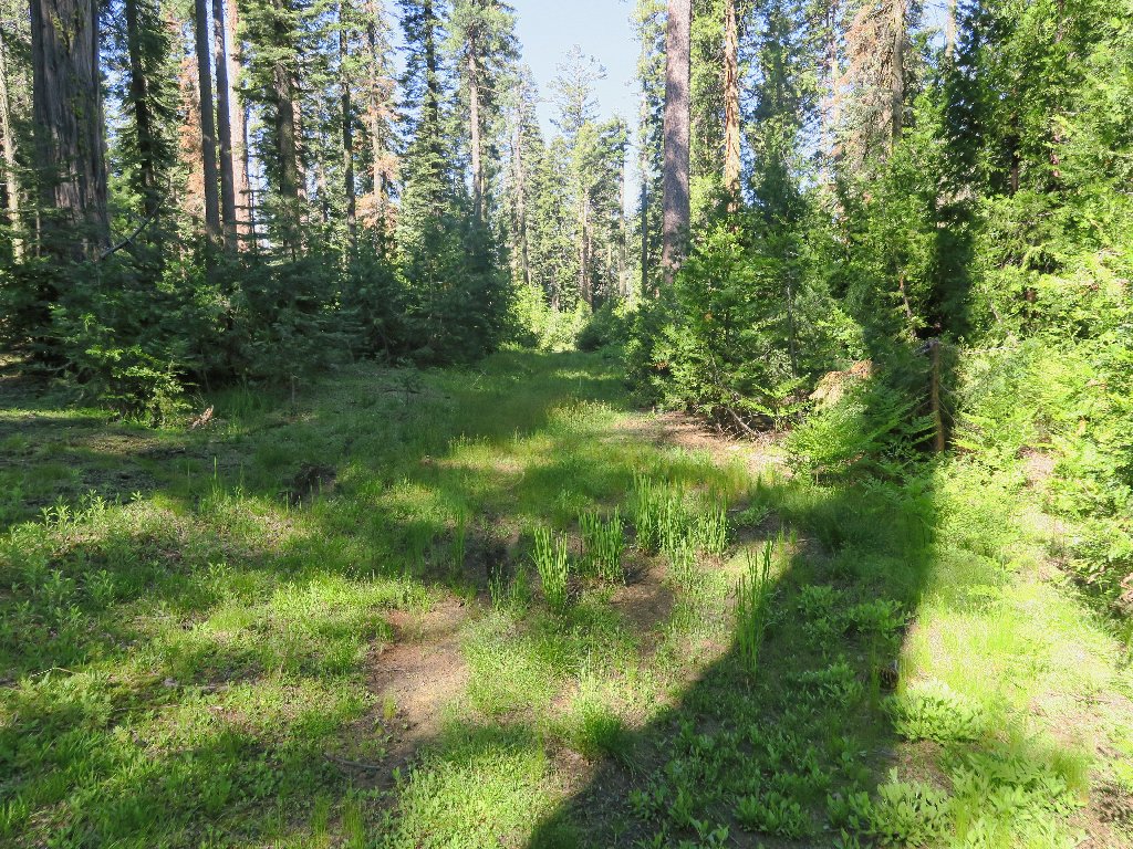
Not this way
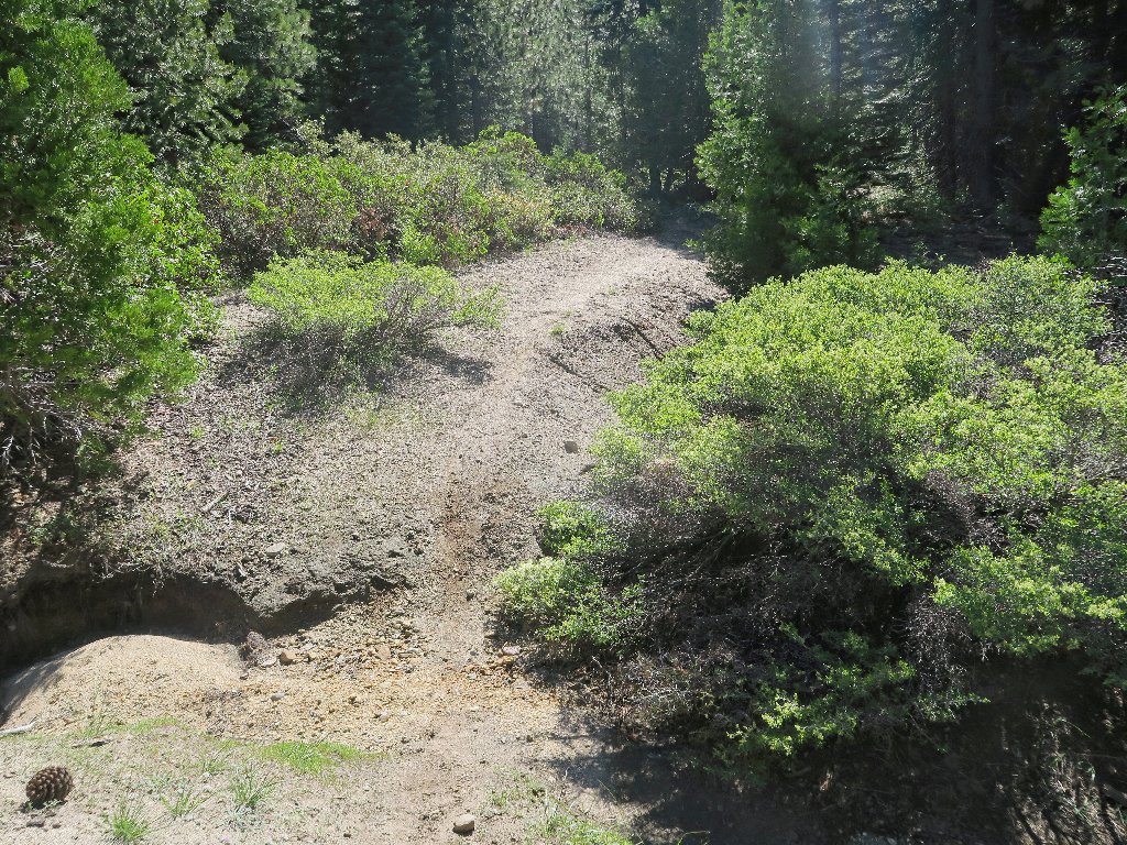
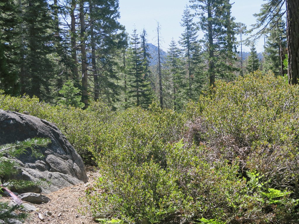
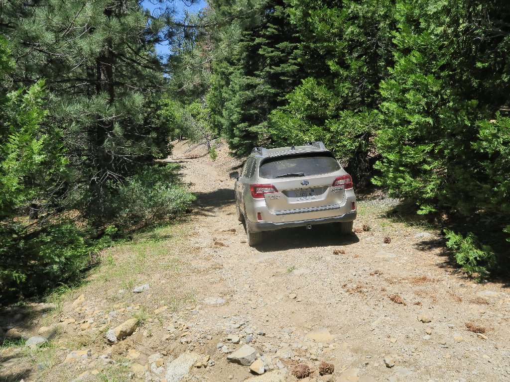
There's a real trail to the east
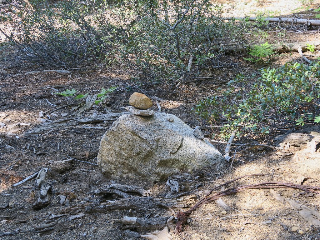
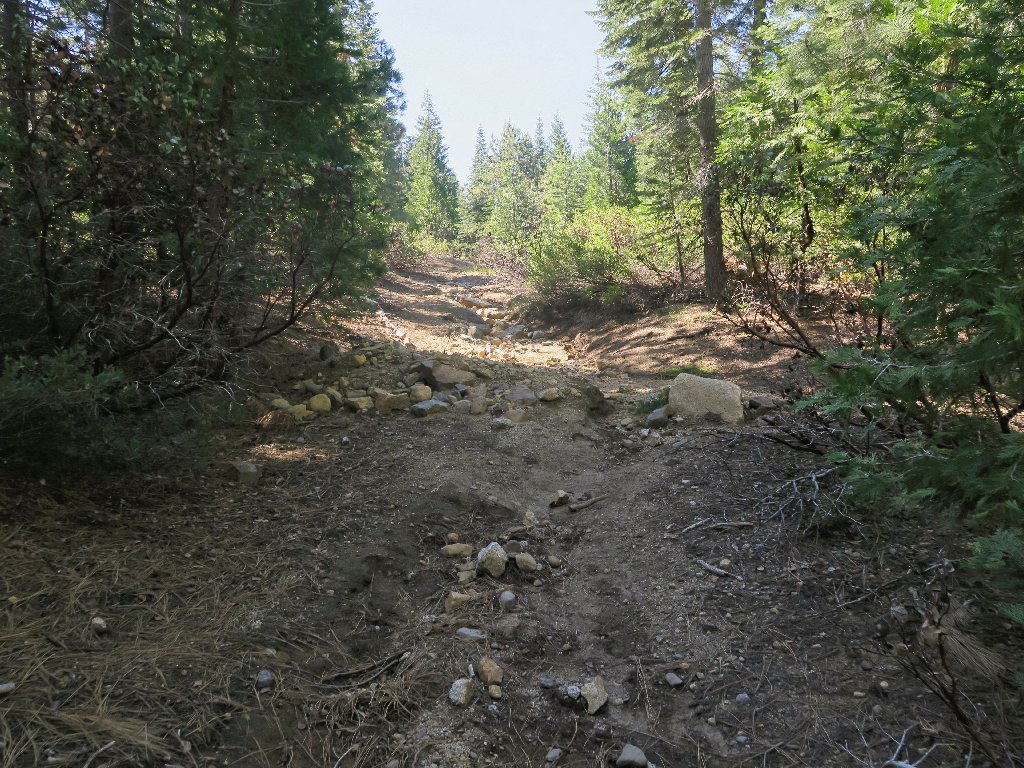
Cairns are showing up now at regular intervals
One of the Two Peaks in the distance
At a predetermined waypoint, I strike off into the forest.
Let the bushwhack begin!
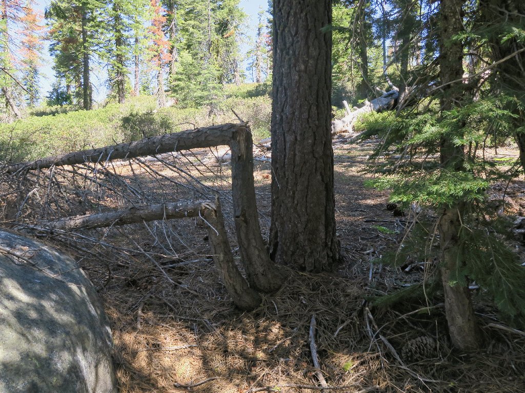
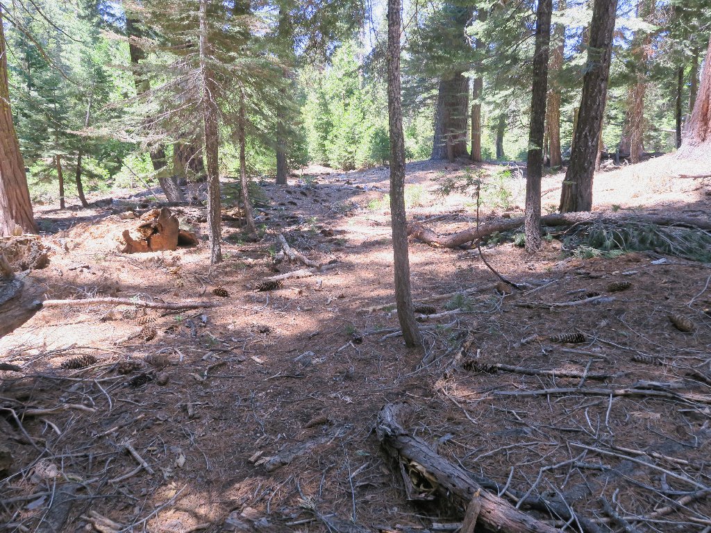
Into the deep forest
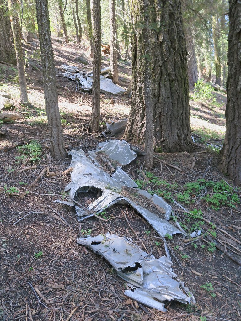
As expected, my GPS leads me right to the nearest spot. Wow! There's a lot of junk here.
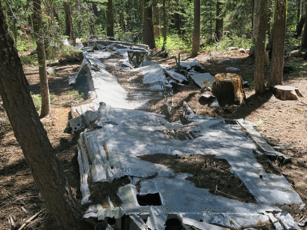
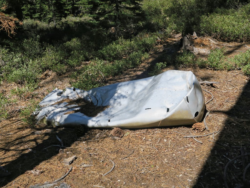
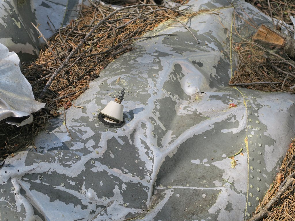
The right wing
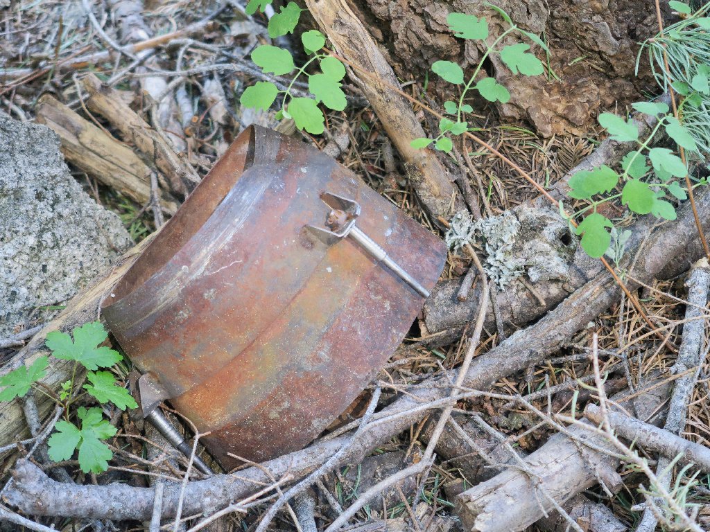
The housing for Engine #3 — the one that was going to be replaced
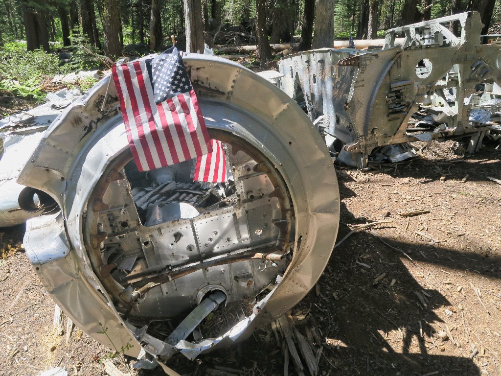
I didn't anticipate this patriotic reminder
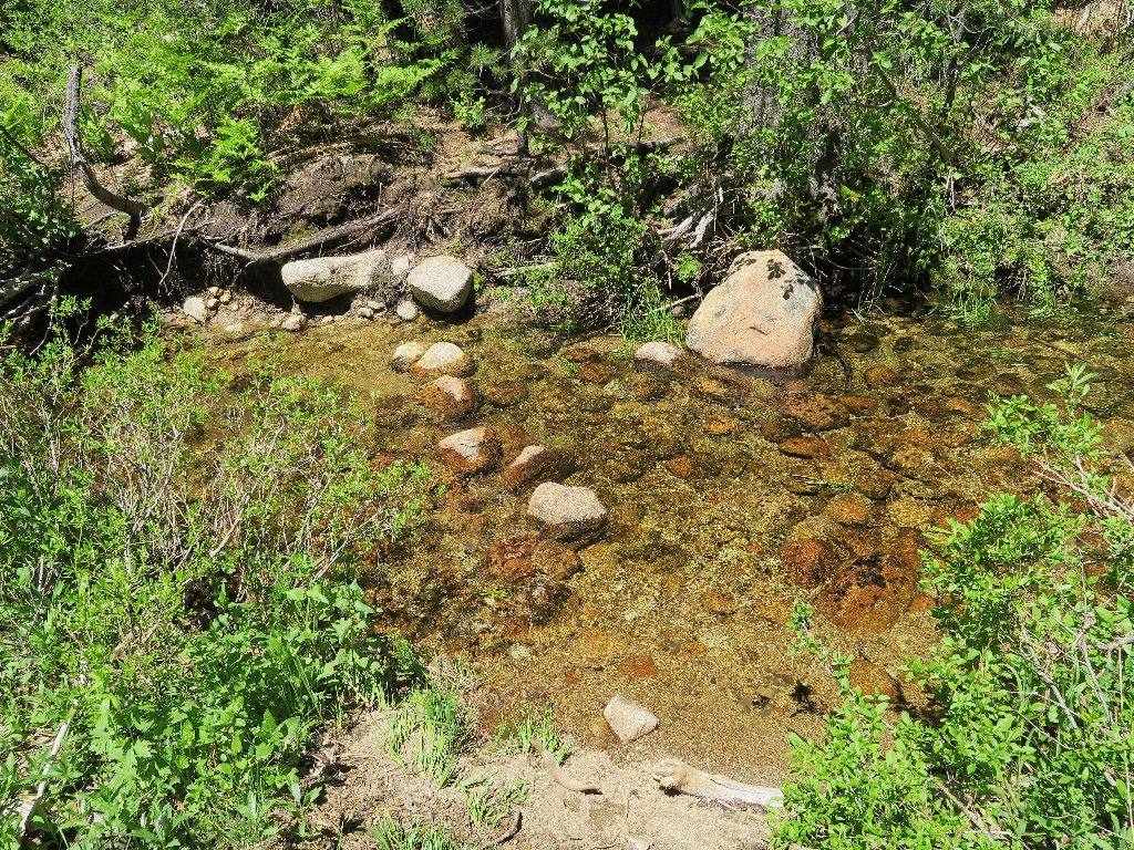
It appears that the next waypoint is across a creek, which route invariably includes a horrid willow thicket in these parts.
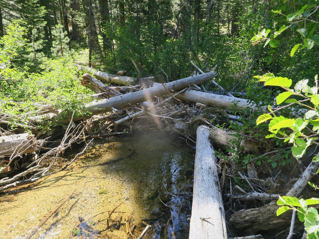
This crossing is doable
I record the location of this ford in case it could prove useful later.
I wonder what broke those guys
The fuel tank
I cannot find anything at the next two waypoints, despite a cairn suggesting that I am in the right place.
I do pick up a faint use trail, however.
I'll follow this path
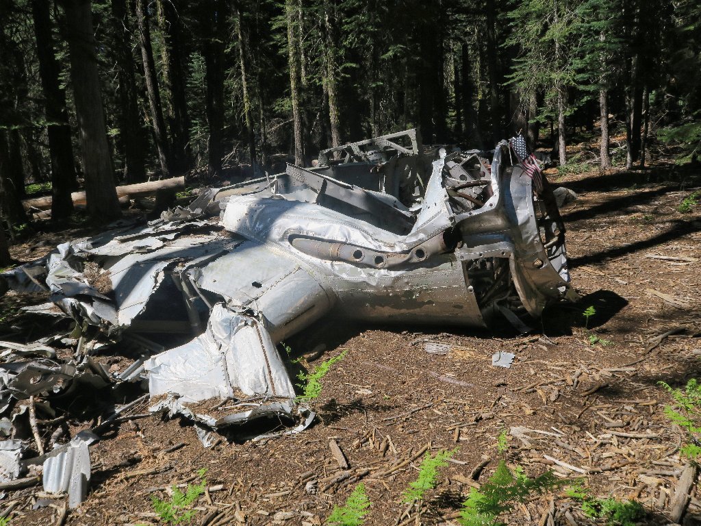
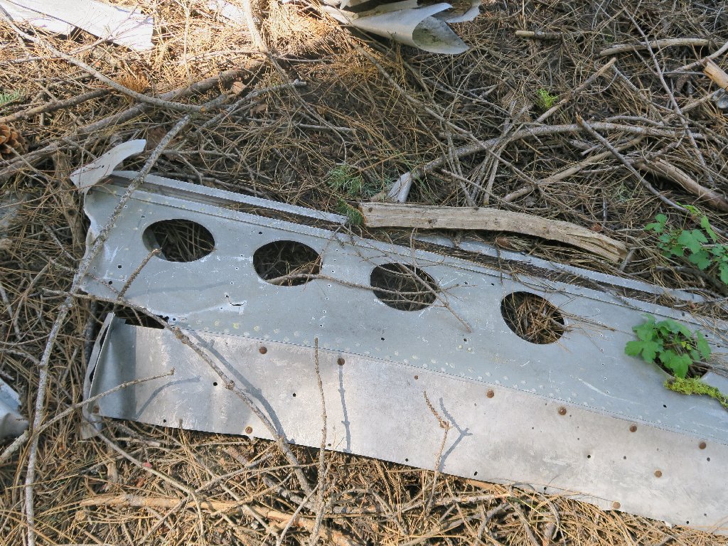
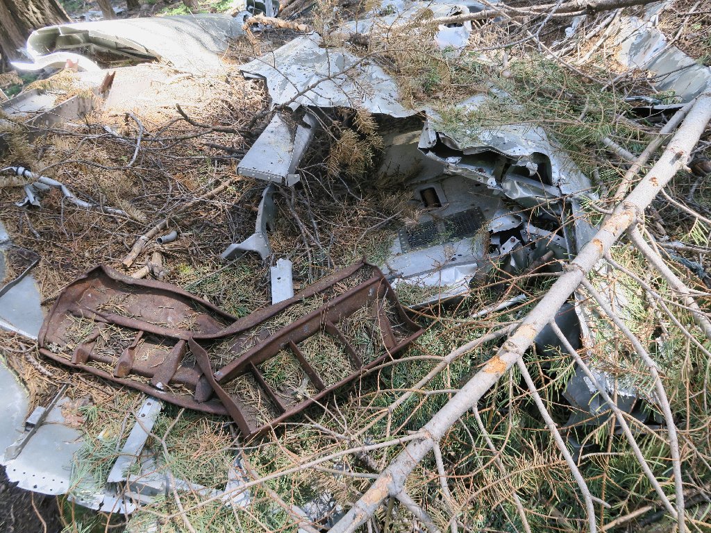
Success! I have found another bunch of stuff.
Spread out all over the place
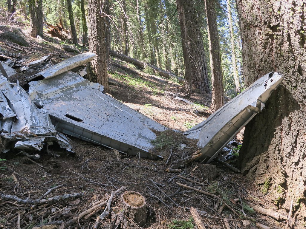
The tail section
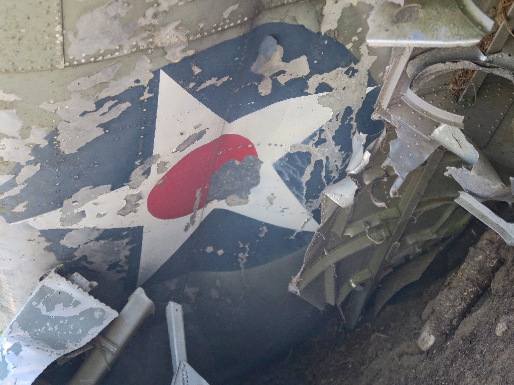
Glancing underneath one section, I make a wonderful discovery:

The 1941 insignia
The star insignia was featured on the fuselage of every B-17; on some models it also was painted on either the top or the underside of each wings, or both. Without further investigation, this piece of wreckage remains unidentified.
Another view
According to my studies, when the Japanese entered the war, the red dot was eliminated from the insignia because it too closely resembled the red dot on the wingtips of the Japanese Zero. Subsequently, it was redesigned several times.
This is all the wreckage that I can find, but it is not all the enervating bushwhacking that I subsequently incur. At one point, I have occasion to virtually sit down in the creek, drowning yet another camera. Finally, I manage to pick up the established trail, which provides me an easy creek crossing.
No willow thicket here
Heading back
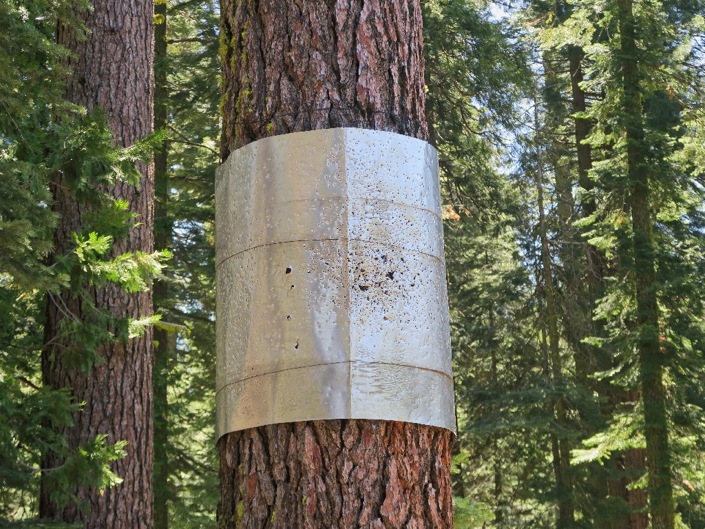
A former signpost, I presume
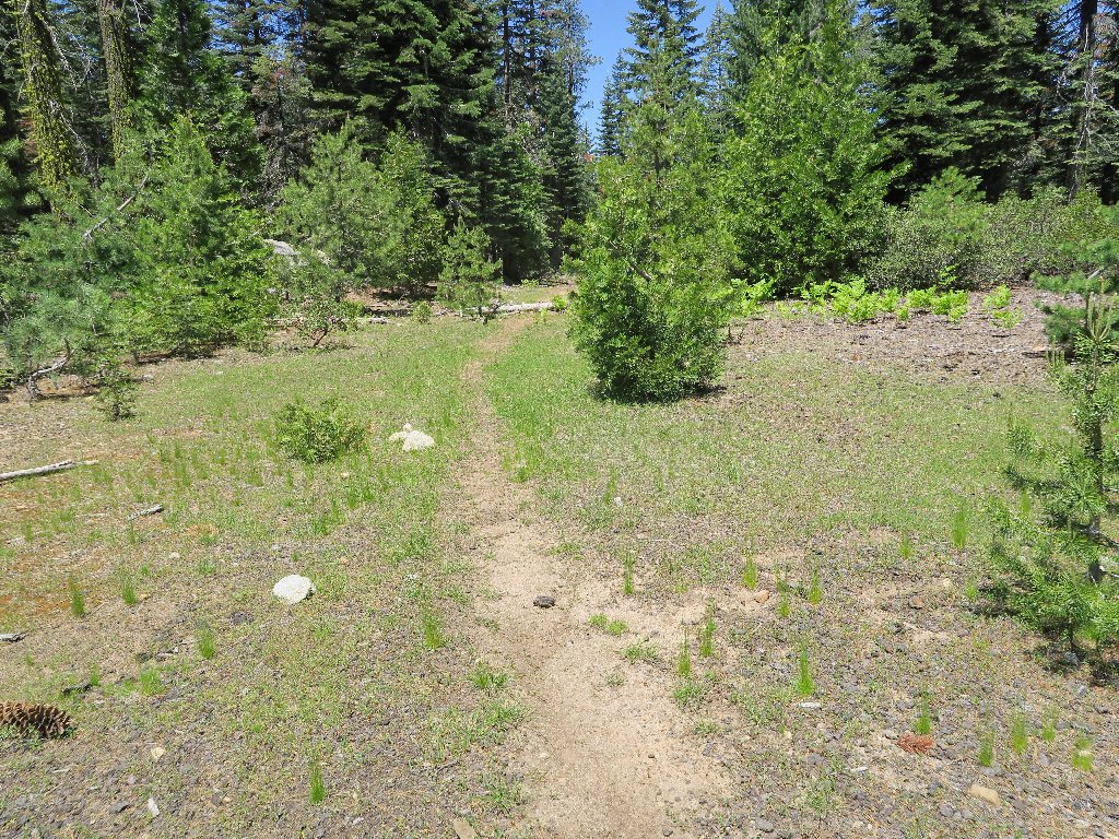
Nearing the finish
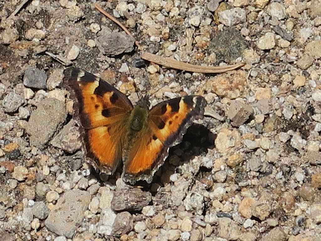
California Tortoise Shell
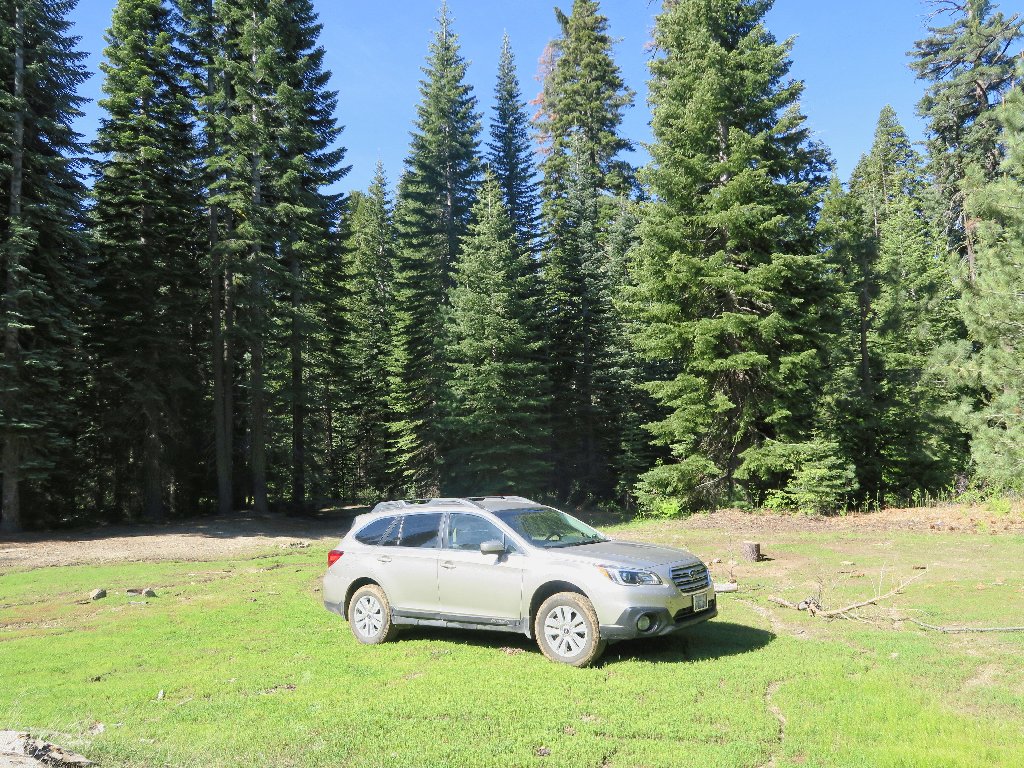
Home Sweet Home
Heading out
§: Well, I guess that the mission was accomplished, even though
I didn't find as many parts as was hoped for. My research taught me
a few things as well.
But where's the map? Well, as the Forest Service says, "You're on your own".
| Scenery |  |
| Difficulty |  |
| Adventure |  |
