Yosemite National Park
|
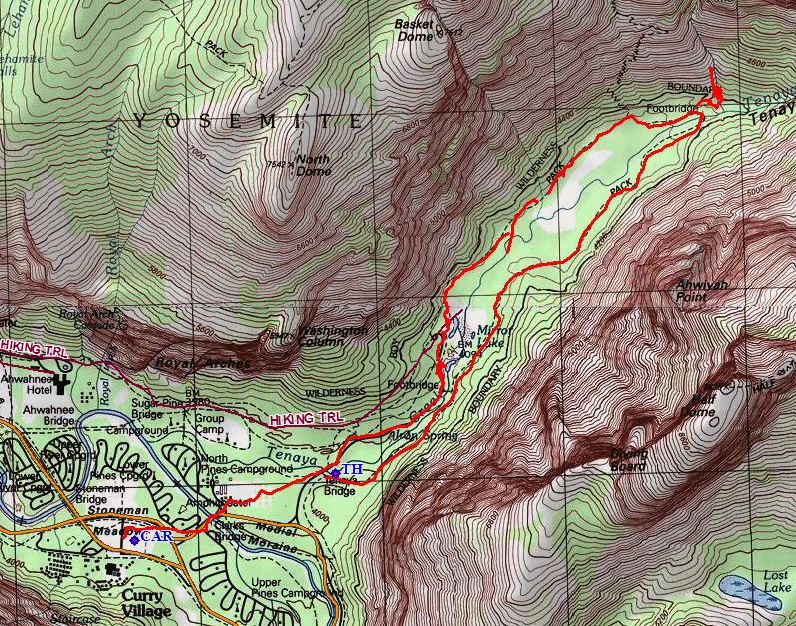
Mirror Lake Loop Yosemite National Park |
May 23, 2018
As always, I must make at least one annual pilgrimage to Yosemite Valley
before the summer crowds arrive. A day-trip involves seven hours
of driving, much of which is boring as hell; but that is deemed an acceptable
price to pay.
Acceptable, that is, if I do enough good stuff to justify the trip.
Today, I hope to knock off some bucket-list items — namely,
visits to and photographs of some of the little-known waterfalls.
One of those is reputed to be in Lower Tenaya Canyon, beyond the Mirror Lake
Loop Trail.
Arriving at Half Dome Village at eight o'clock, I park right next to the shuttle stop, call my sweetie at home, then take some pictures of one of the ephemeral falls that hasn't been seen much during the ongoing drought.
The elegant Staircase Falls ⇔
A one-mile ride on the shuttle gets me to the starting point.
At the trailhead
Just a few days ago, a cougar killed a cyclist up near Seattle; and that is disturbing. I certainly don't expect to see such an animal this close to the teeming throngs, though.
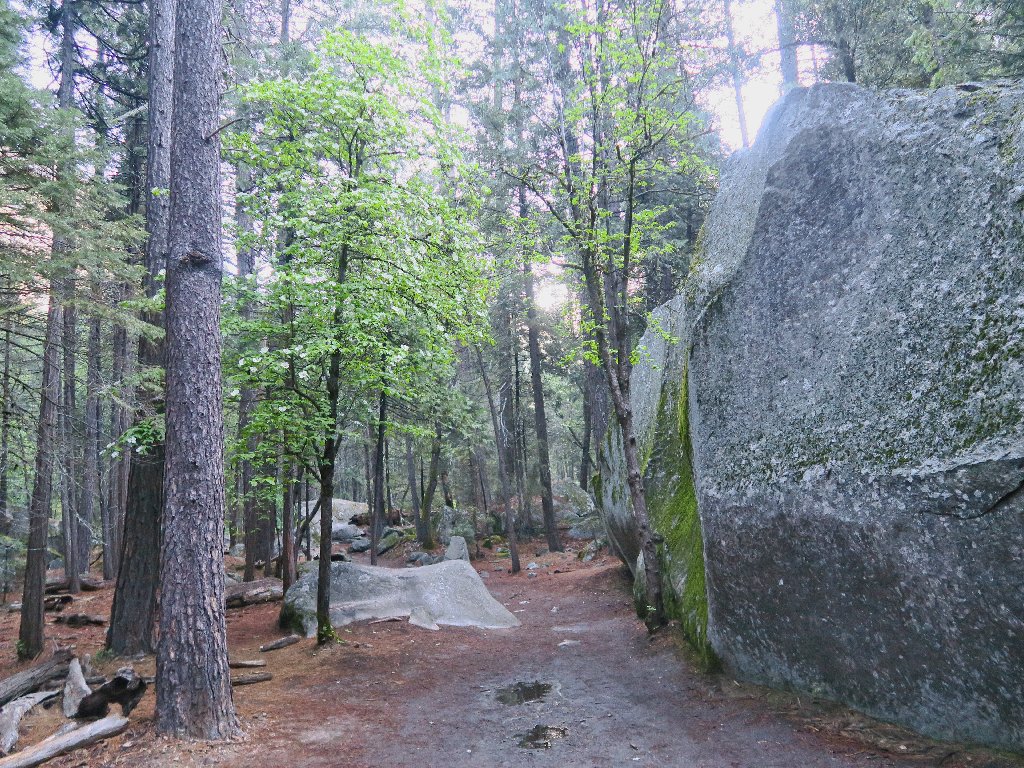
The area is pleasantly damp from yesterday's rain
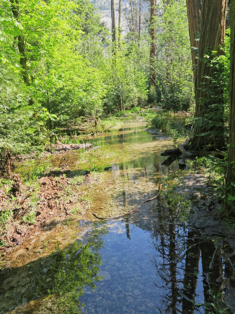
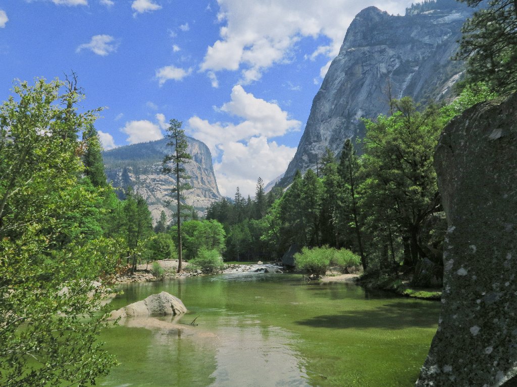
Tenaya Creek
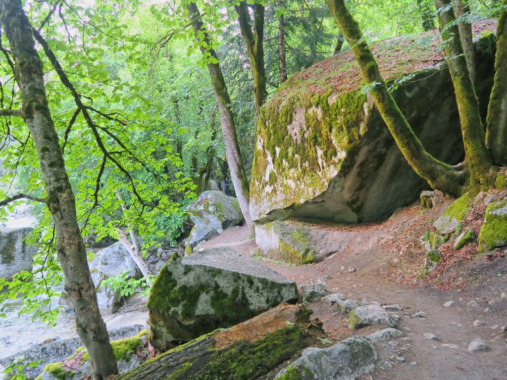
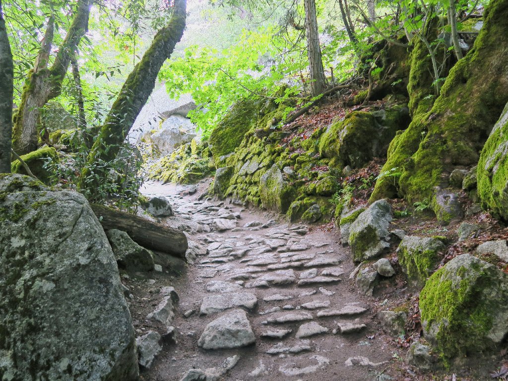
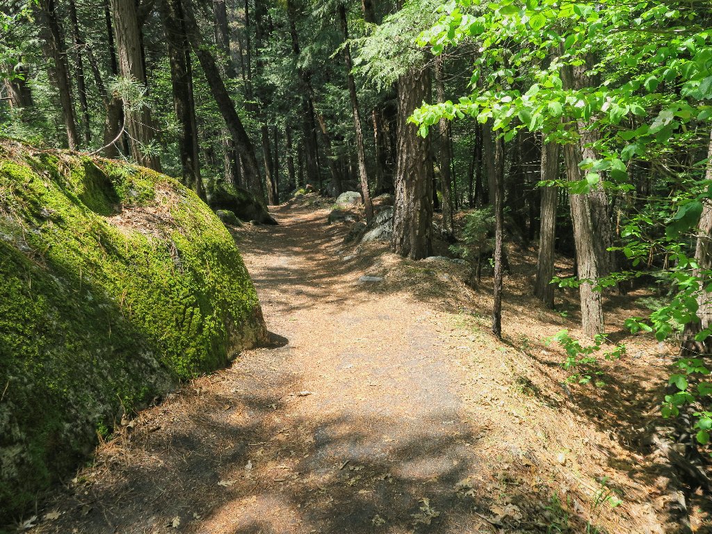
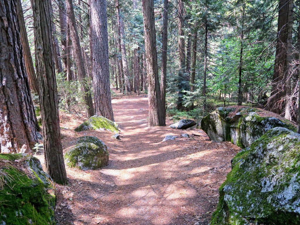
Beautiful trail segments
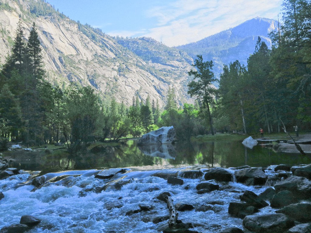
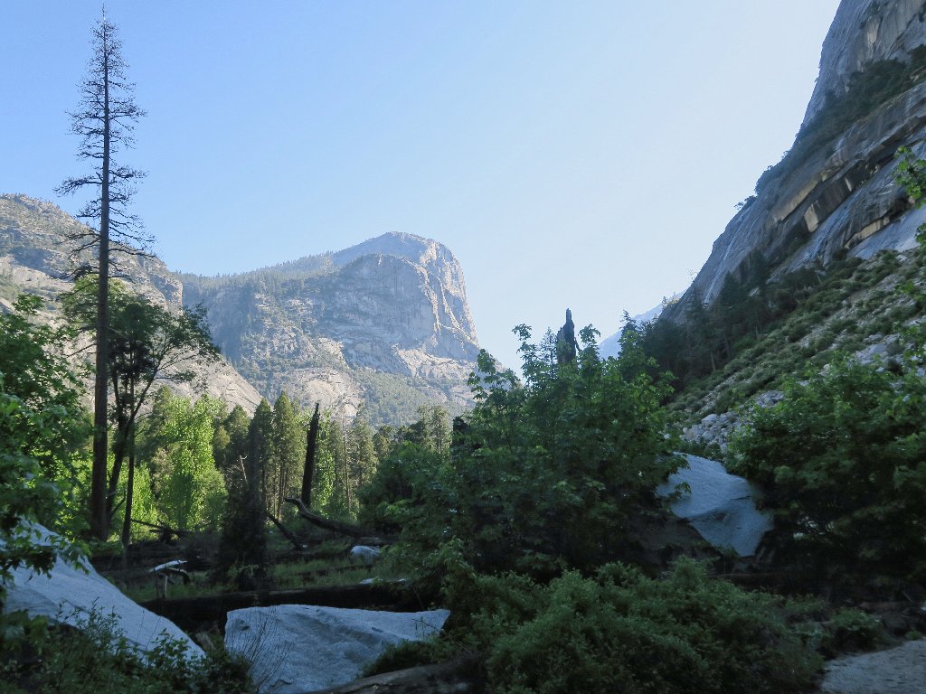
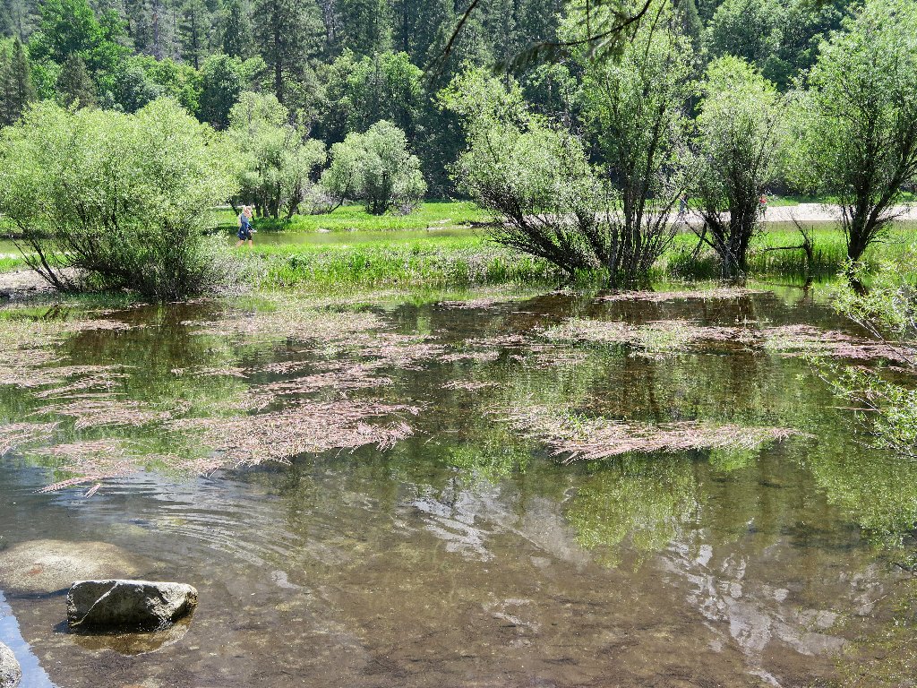
Mirror Lake appears
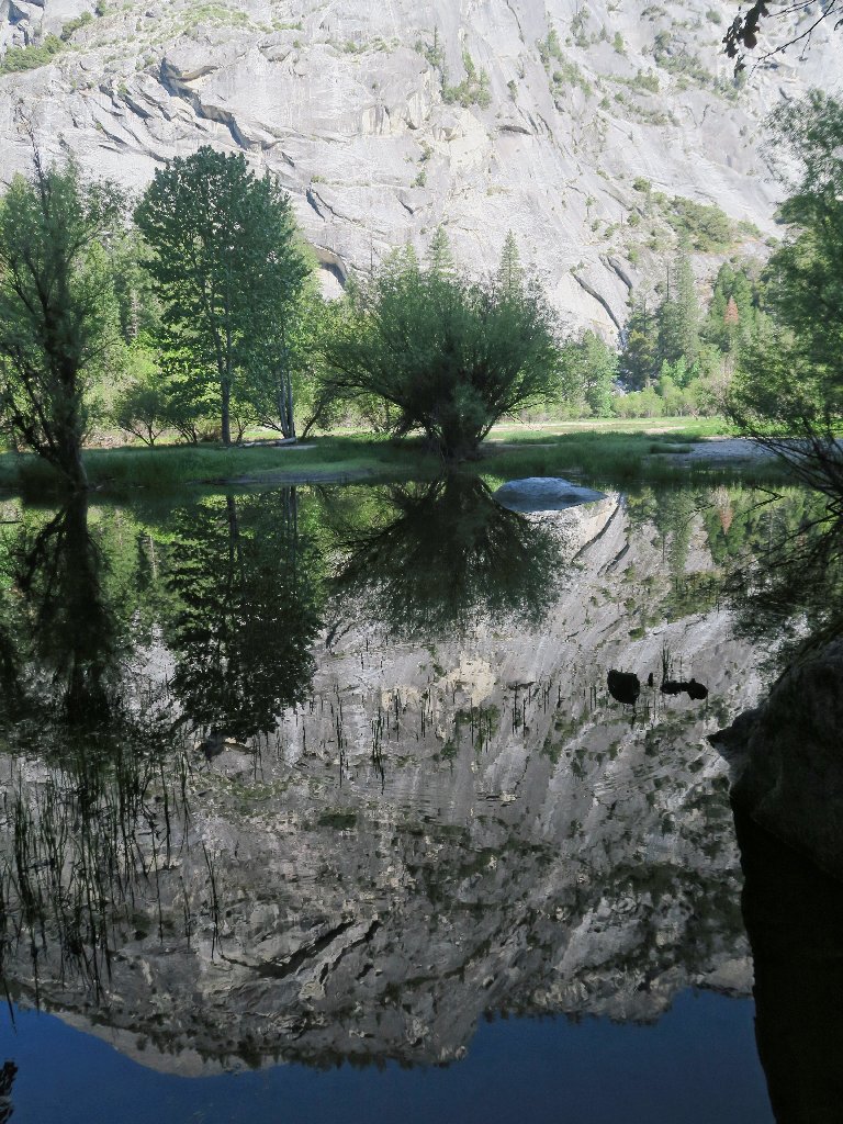
Neat
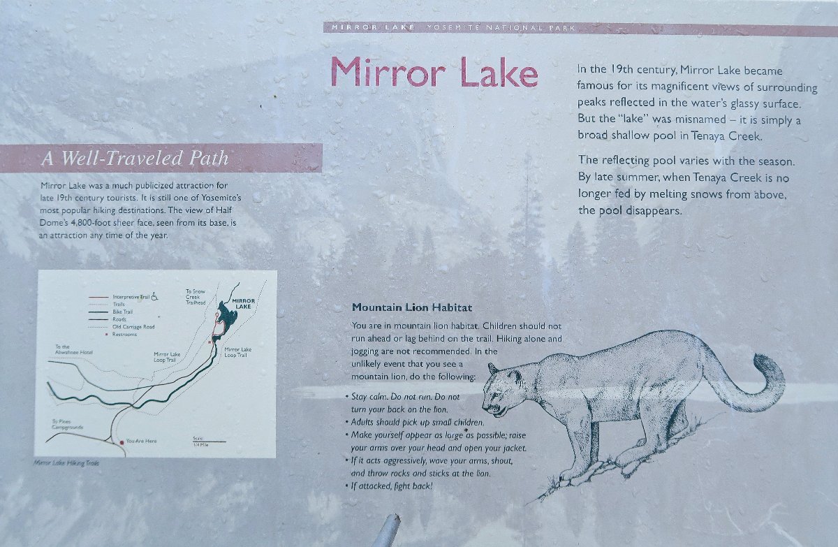
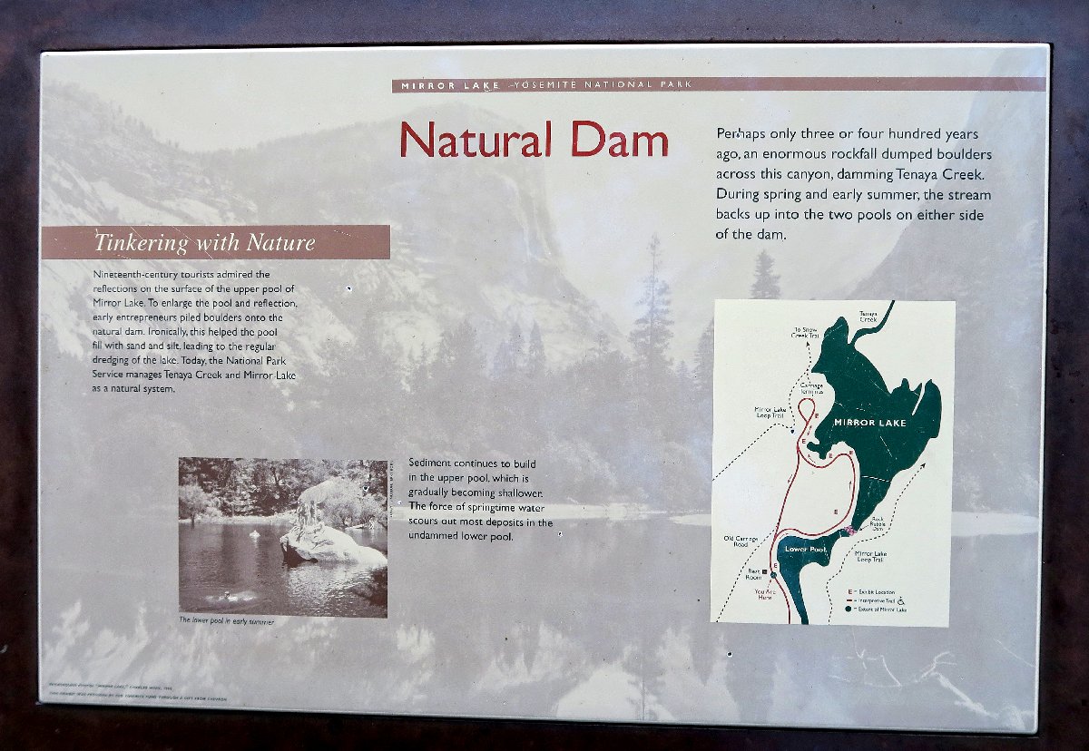
Of course, this isn't really a lake at all, but the memory of one. At home, I have a photograph of the former Mirror Lake, shot in 1960. Since then, it has largely filled in with silt, and soon it will dry up for the season.
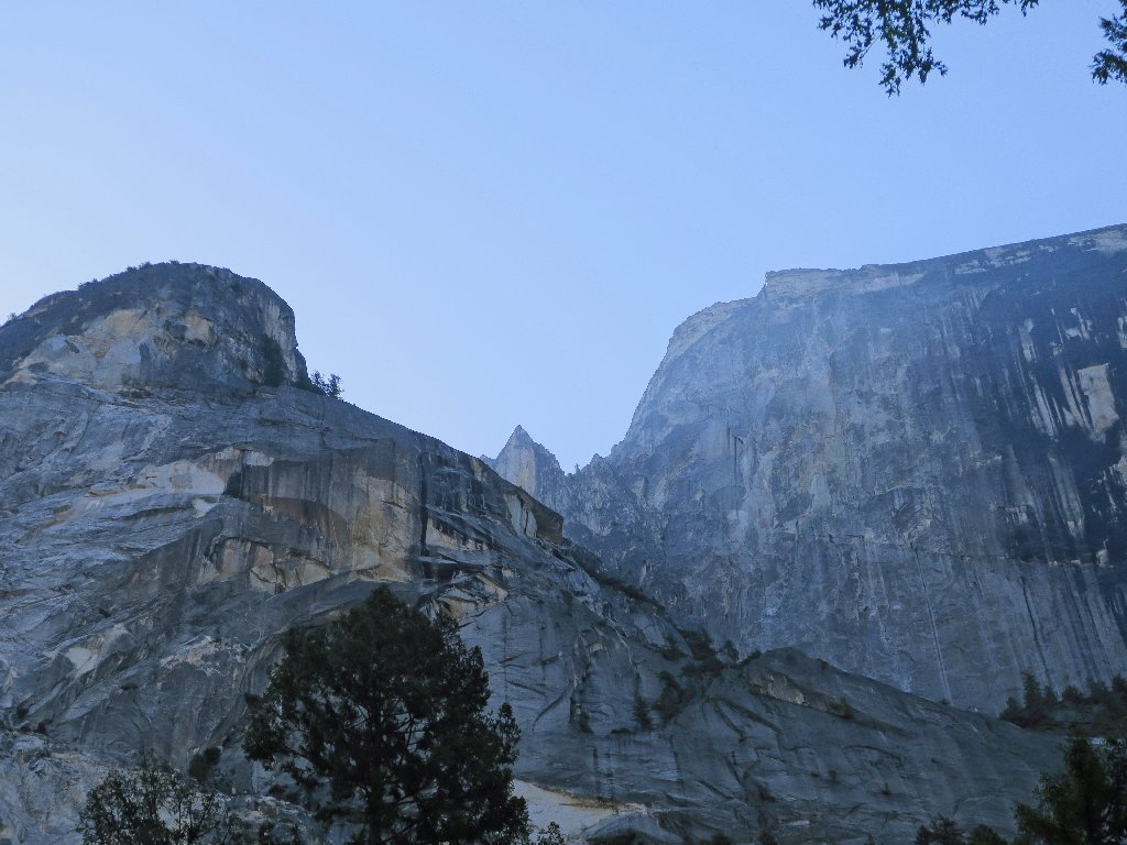
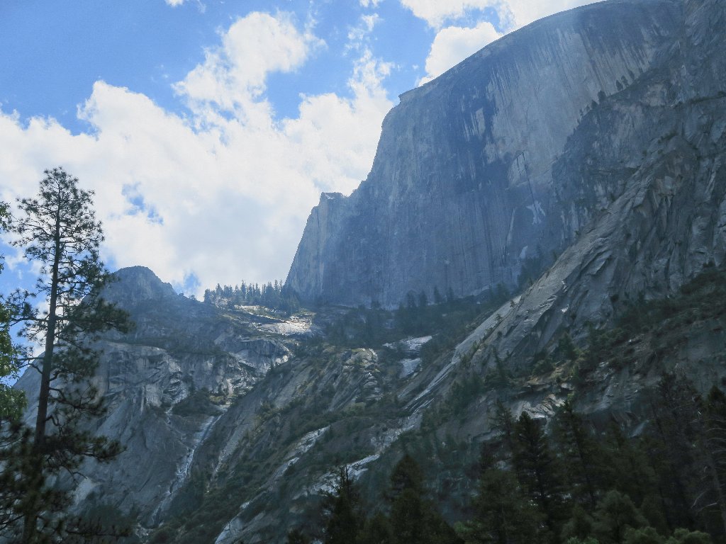
Ahwiyah Point on the left, Half Dome on the right
I don't recognize that little diamond-shaped formation; it isn't viewable as such from the Half Dome Trail.
This almost looks like a watercolor
Upstream is Mount Watkins, which summit I visited on
Hike #99.
Getting up there is pretty easy
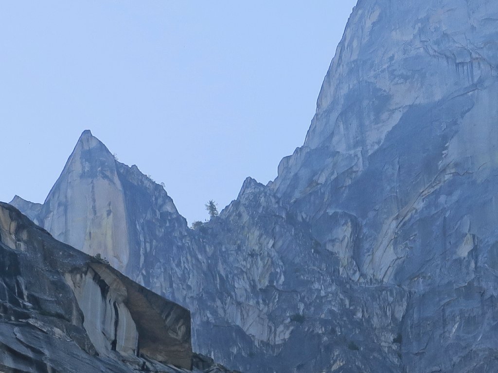
The same cannot be said for the sheer cliff next to Half Dome, which is known as the Diving Board. One can scramble right up to its sharp edge from the other side and peer straight down, but getting there is both difficult and dangerous.
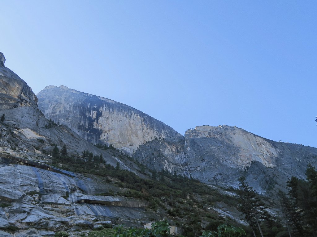
The Diving Board is on the right
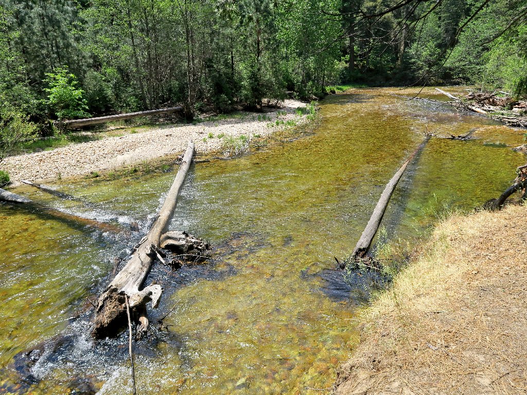
Presently, a couple and a small child approach. The man says that the trail ahead is flooded, but that I might like to check it out. He's right about that.
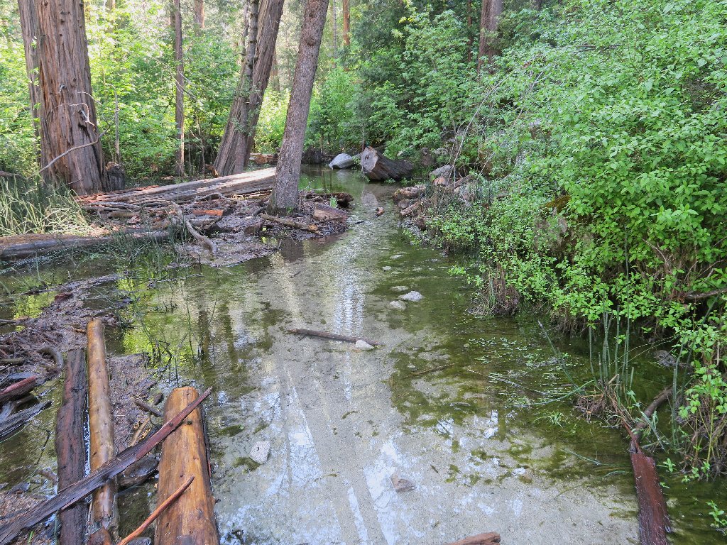
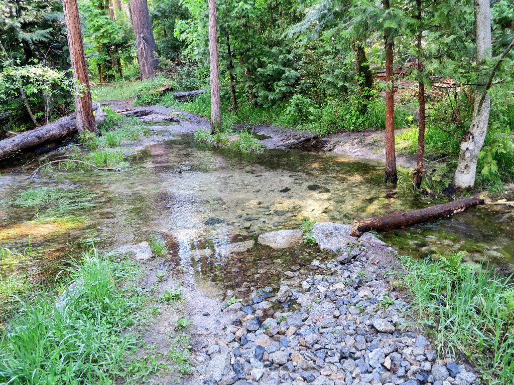
Yep, it's flooded all right
Some of the puddle looks a bit too deep for even my waterproof boots. As I consider the options, another couple climbs down from above, having found a way to circumvent at least some of the water. The woman says that I will have to deal with it eventually, however.
Meanwhile, another hiker who already was here has removed his boots and proceeds to traipse across the wetland. I'll try my luck on the bushwhack route.
The going is predictably difficult
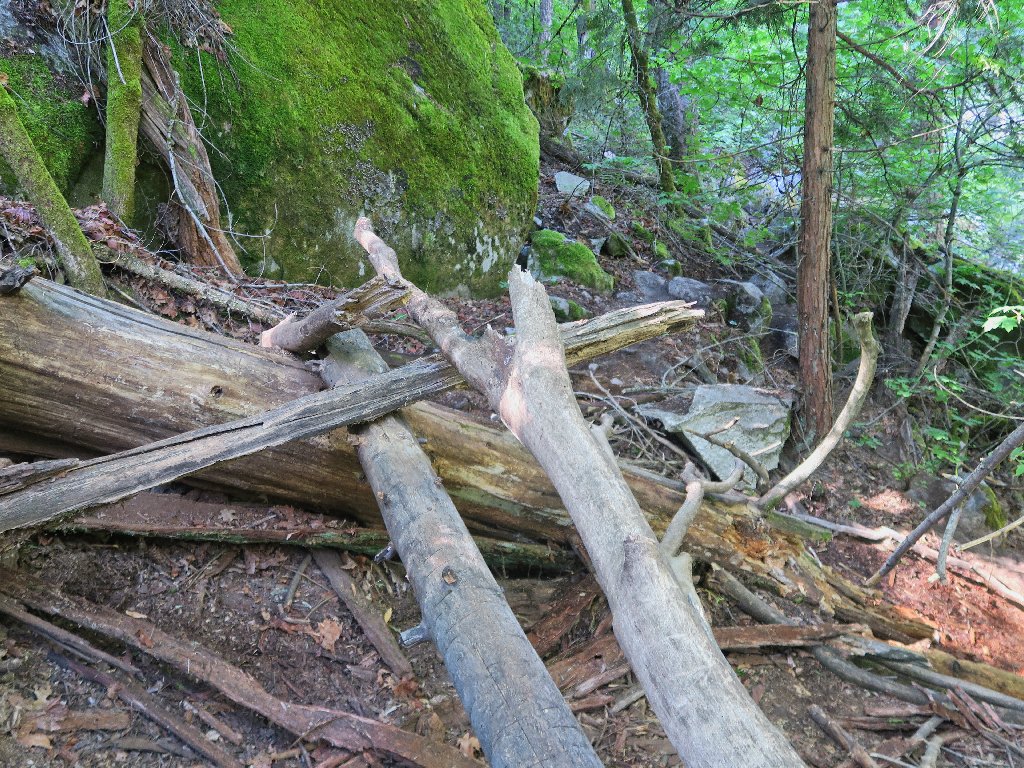
When I arrive at a log that must be used as a bridge, the wader is right on the other side, rubbing his cold feet.
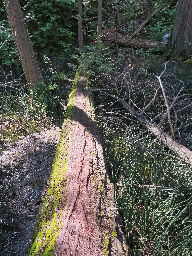
A very handy crossing
Leaving the man to decide his own course, I press on.
More work to do
By cherry-picking a route and places to jump, I manage to avoid getting into more than about two inches of water, which my boots can handle. Negotiating this obstacle course actually is a lot of fun.
The end is in sight
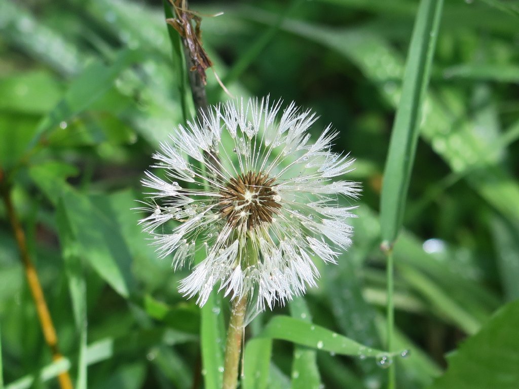
One more little log crossing, and it's done. My reward is a nice flower that I have yet to identify.
Back on a nice trail
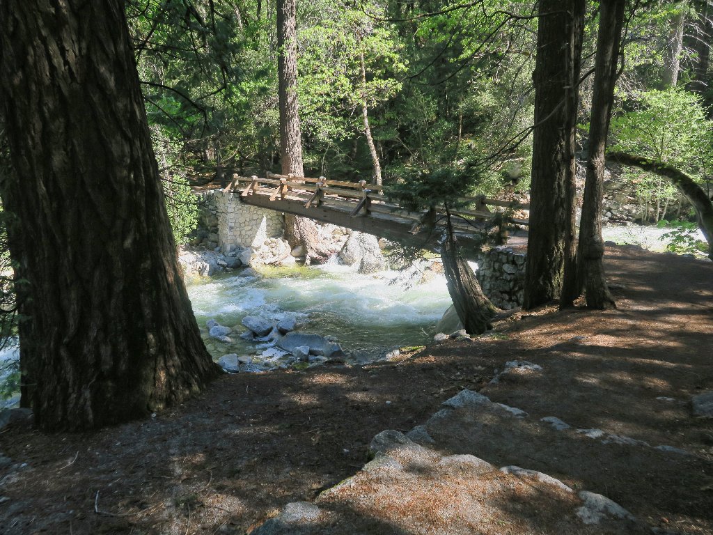
The anticipated bridge appears
Just across the creek is this directive, also anticipated:
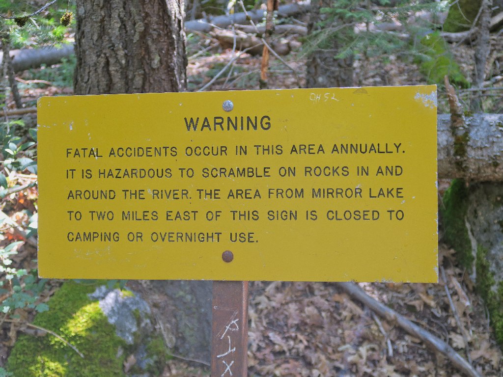
'EAST' means upstream
They want me to avoid the area, but of course I don't. There is an inviting, albeit faint trail behind the signpost.
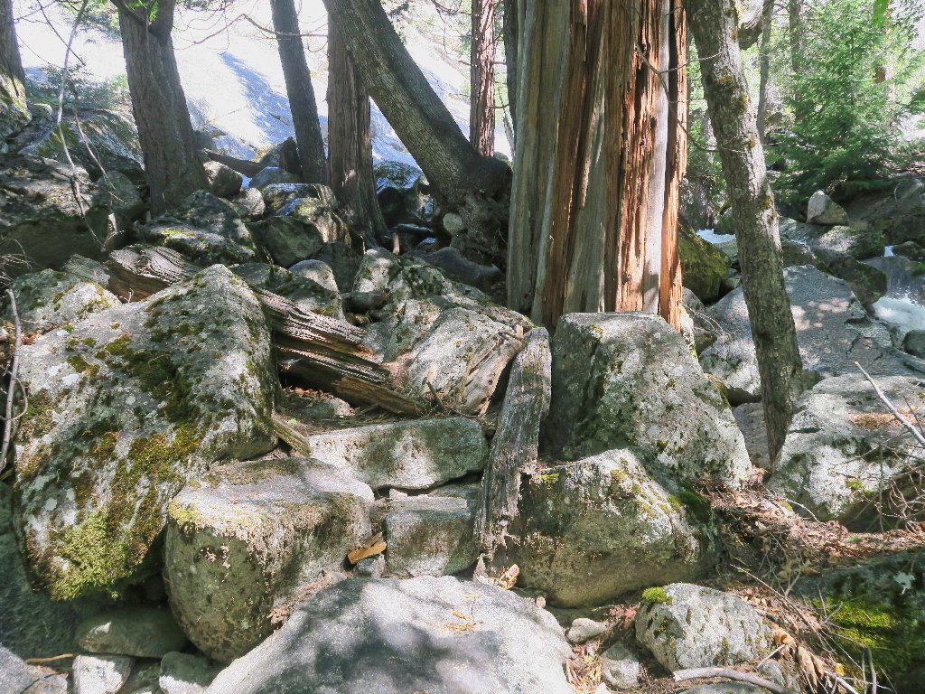
Getting nowhere fast
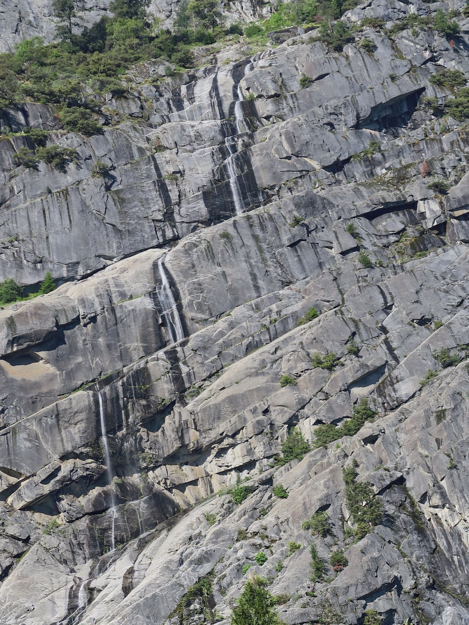
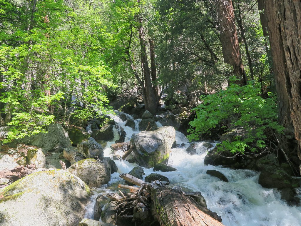
By clambering over enough boulders, I manage a photo of a little cascade.
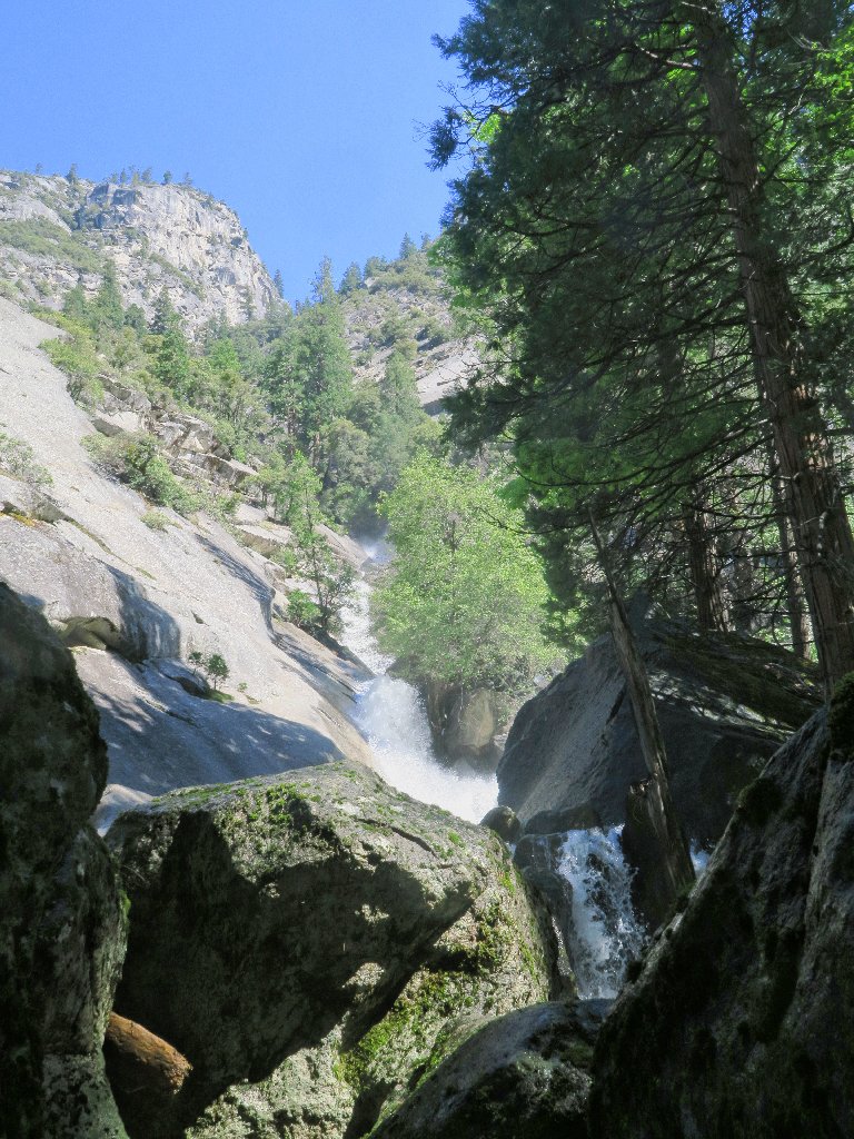
Nothing particularly special from this direction
This scene is pretty enough
Somehow thinking that my options have been exhausted, I start back on the main trail, soon passing the junction for the Snow Creek Trail that leads up to the valley rim.
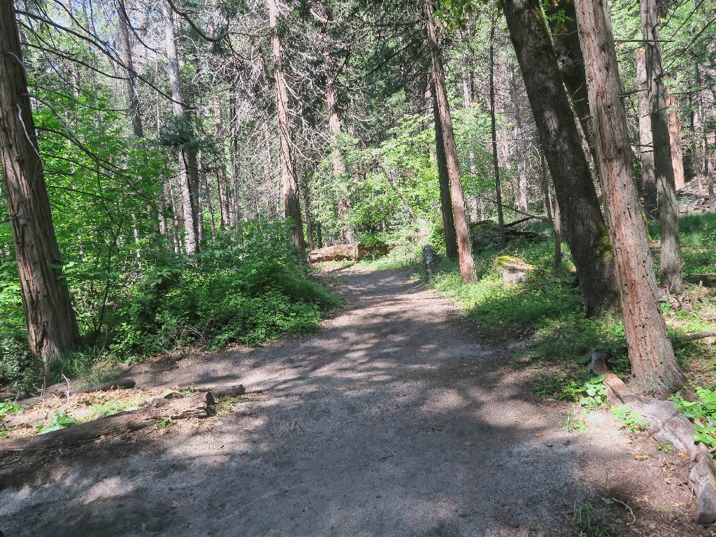
It will be easy walking from here
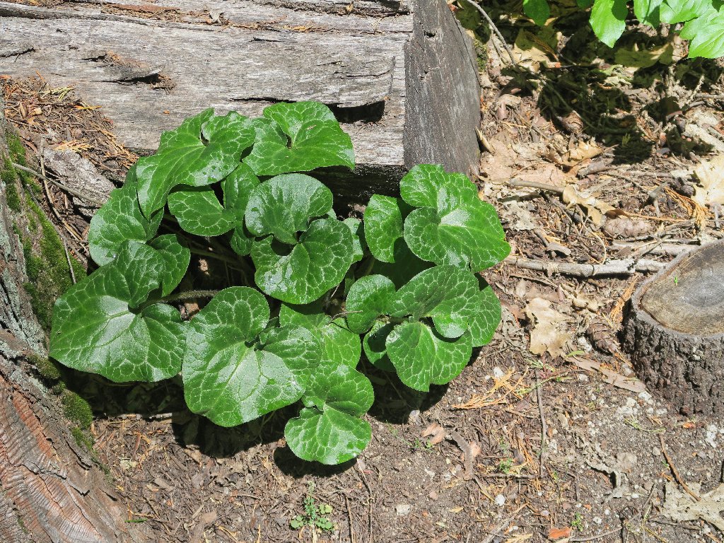
Wild Ginger
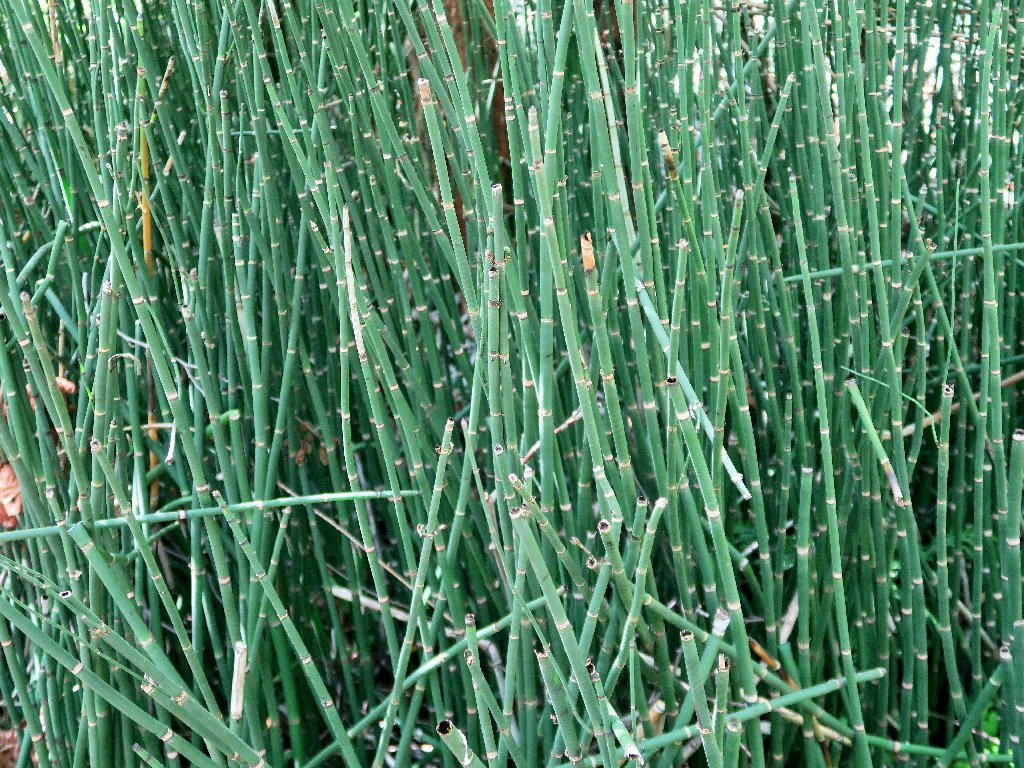
Horsetail Rush
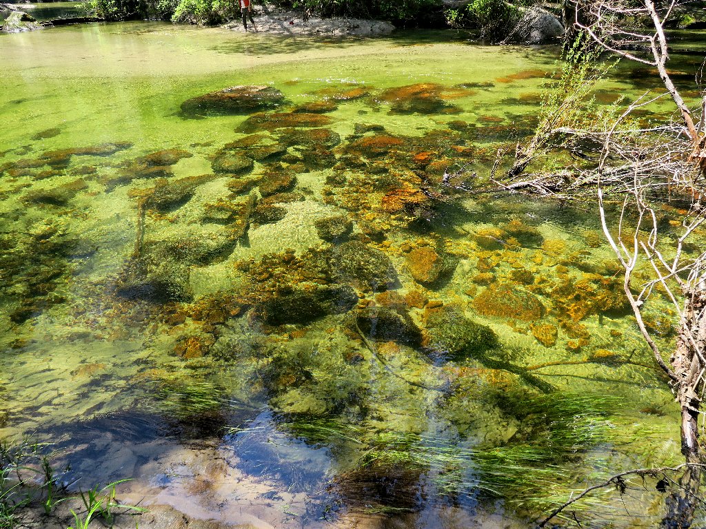
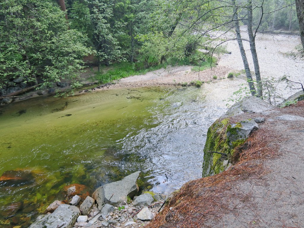
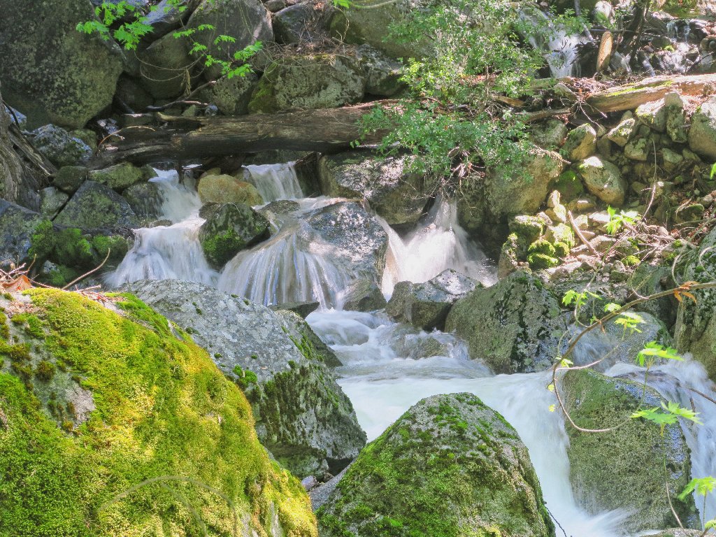
Color in the creek
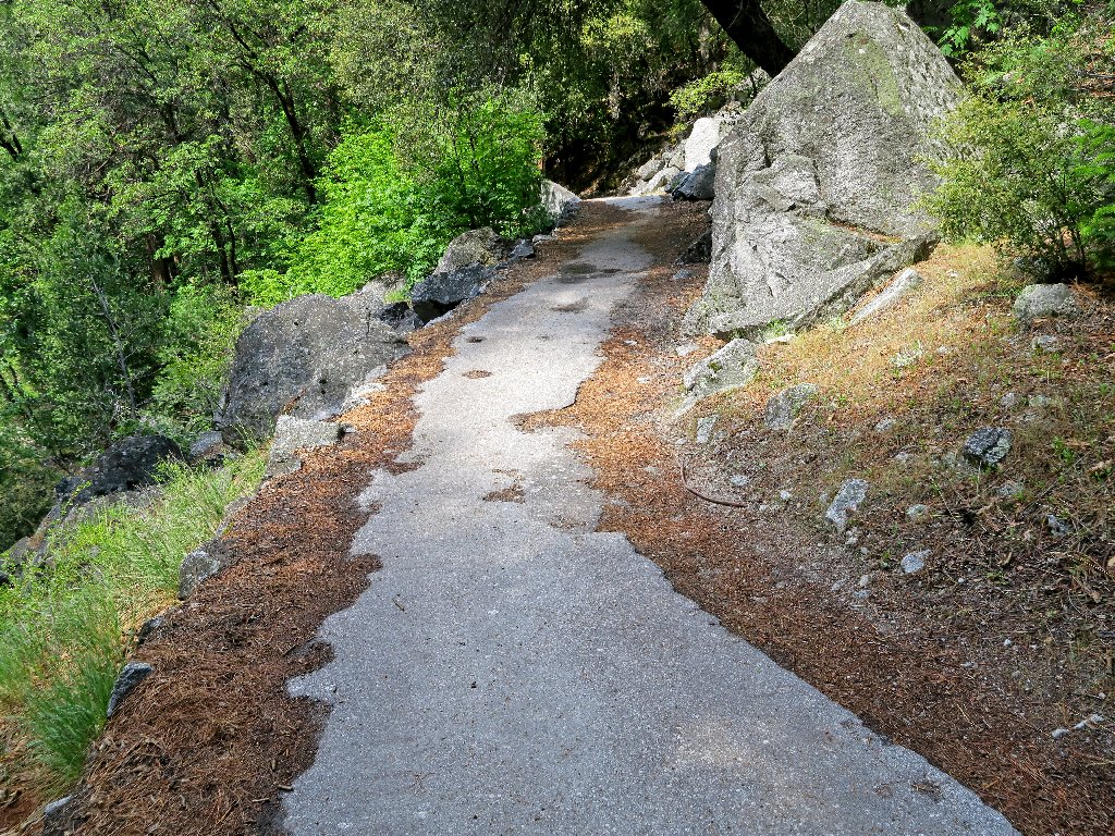
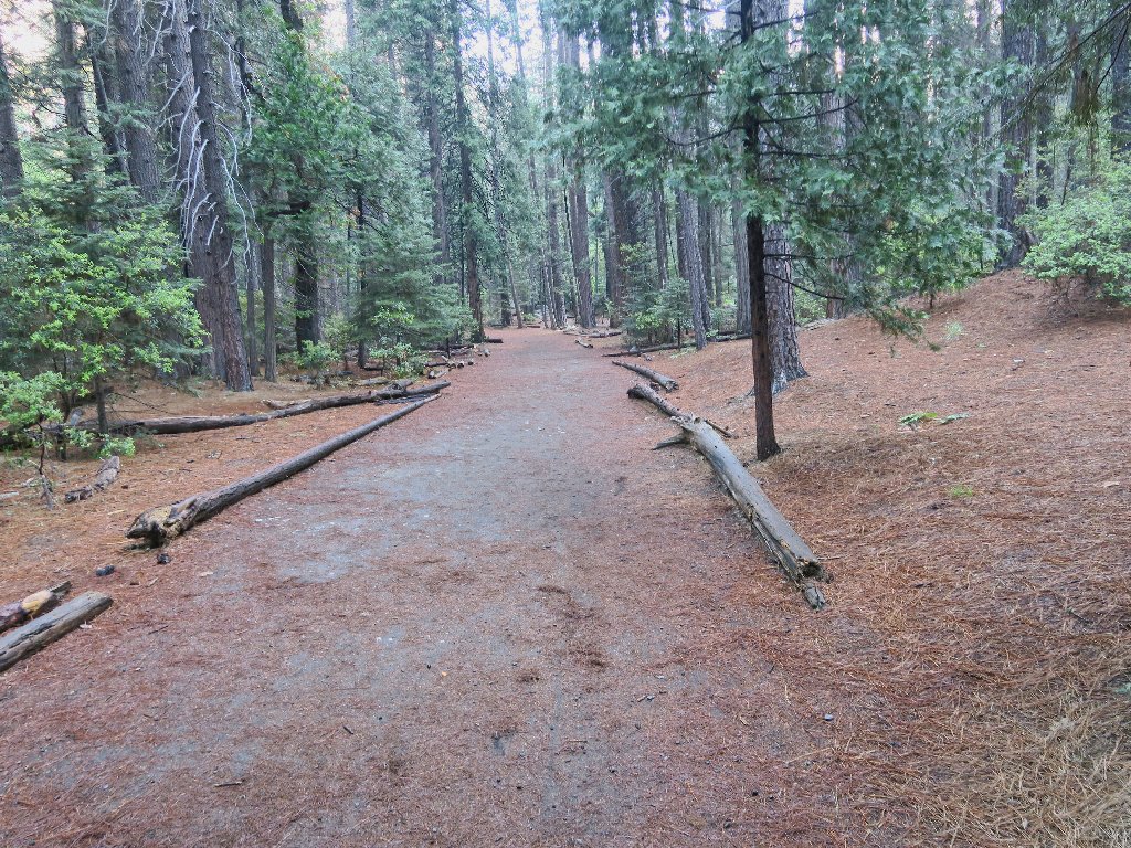
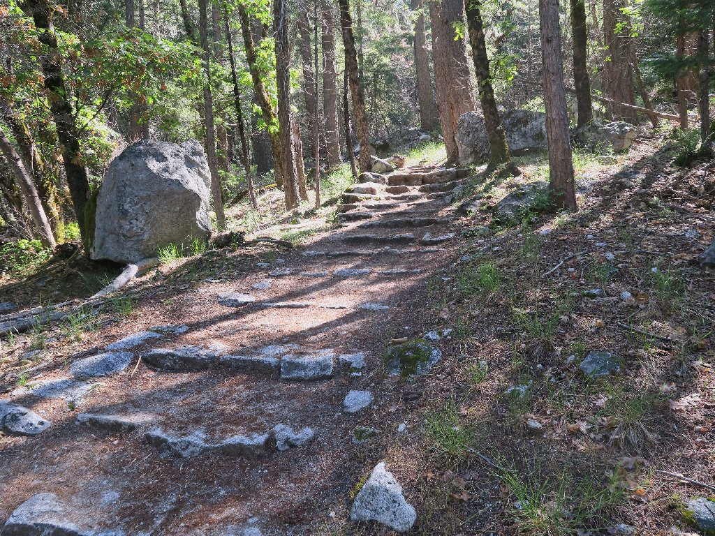
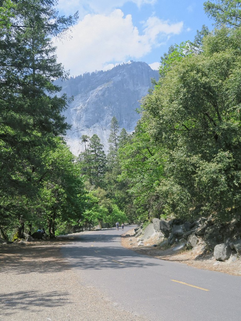
The route is paved from here
Within about a mile, I am back among the tourists.
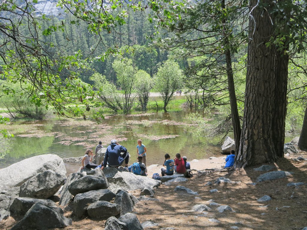
It is quite busy at lakeshore
Someone seems to be in every photograph
At the south end of the flooded area, I chat with another photographer as we wait for a big cloud to move on so that we can have some sunlight on our scene.

Mirror Lake
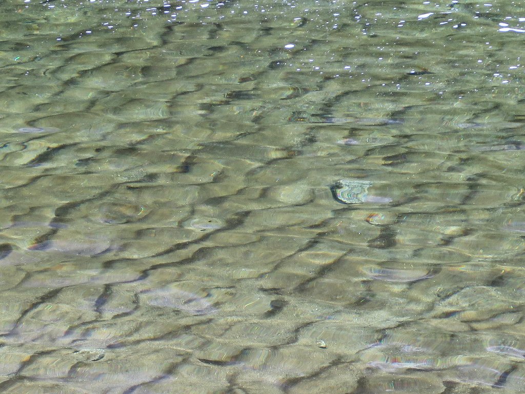
Lake-bottom textures
Still no sunshine on the cliff
Last view to the north
The final leg of this loop is a roadway that is open to autos sporting handicap placards. Rental bikes must park a quarter of a mile from the lake, at the base of a hill. Apparently too many racing daredevils have wrecked their machines here.
Glacier Point is up there
Last view of Tenaya Creek
From here, it's only half a mile back to the car; so hopping onto the shuttle would be rather pointless.
Getting off the pavement
Yosemite Valley is a good-feeling place
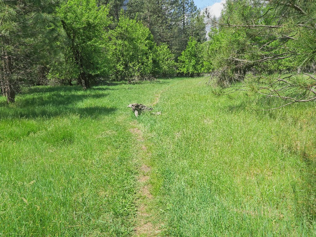
Off on a little-used path
Presently I encounter something unexpected — the kennels. In national parks, dogs are not allowed in public buildings or on hiking trails; nor can they be left unattended. Unless visitors are willing to confine themselves and their mutts to strolls around the campground or on the pedestrian paths, their pets are supposed to be stashed here.
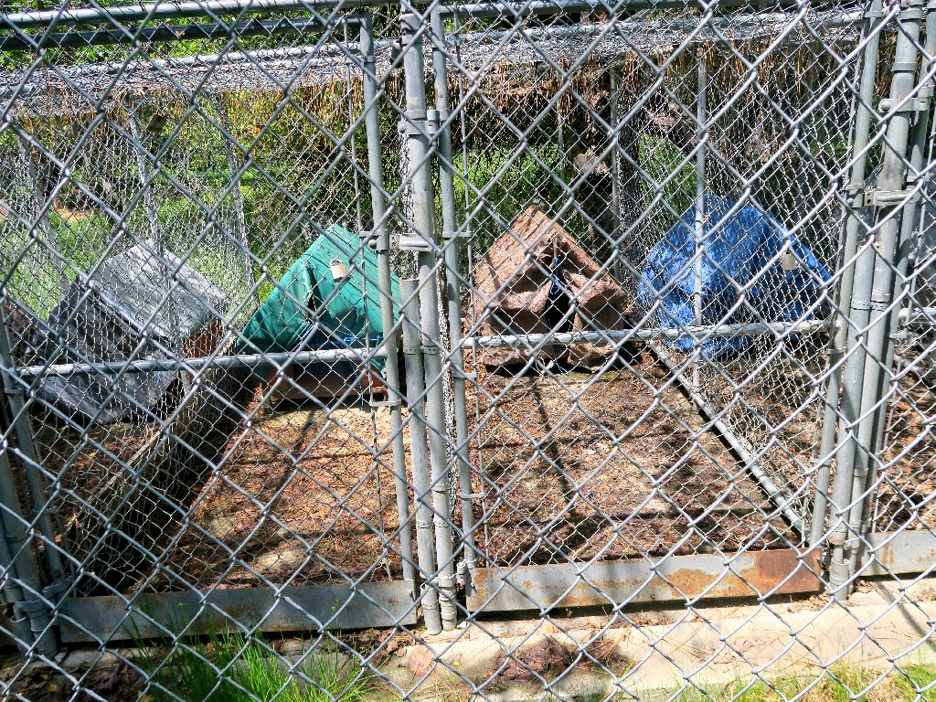
No one is in residence at the moment
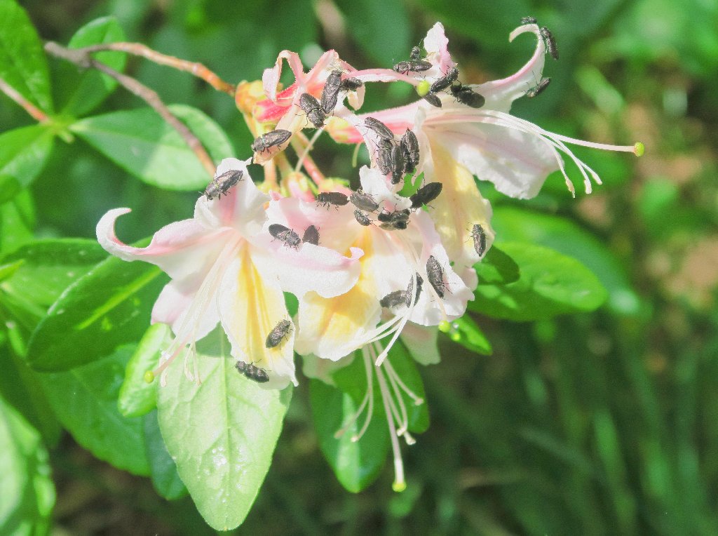
An orgy on the Western Azalea
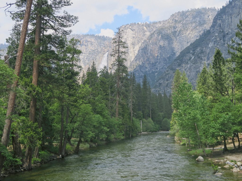
The Merced River flows toward Yosemite Falls
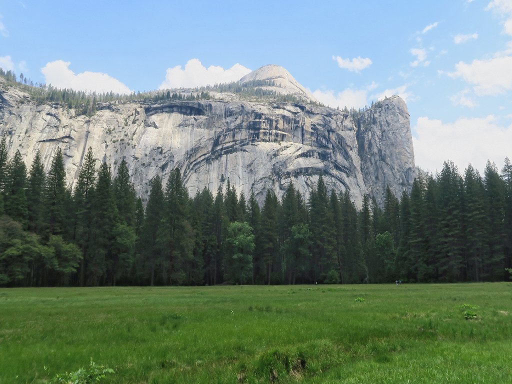
North Dome sits above the Royal Arches
§: Well, this was a nice walk, replete with an unexpected adventure
in the water hazard. Of course, any walk around here is wonderful.
Something definitely is missing, however; for I did not see any sort of worthwhile waterfall at the end of this loop. In fact, when I was scrambling around up there, that wasn't even Tenaya Creek, but Snow Creek. It never even occurred to me to look on the other side of the bridge for another trail, yet that's where it is.
I really must be getting old, and now I must return in order to complete the mission. Stay tuned for Part II.
| Scenery |  |
| Difficulty | |
| Personality |  |
| Adventure |  |
| Flowers |  |

ADDENDUM
Upon arriving home, I learned that a man fell off the Half Dome cable route
just two days ago. Unfortunate though that was, the man predictably was
doing something wrong — namely, trying to negotiate a steep slab of
smooth, slippery granite in a thunderstorm. The news reports made no
mention of witnesses to the event, which suggests that the victim and his sole
companion were up there alone in the rain.
In any case, the timing was strangely coincidental, in that the last prior
fatality on that rock occurred just one day before my own last ascent,
on Hike #135. On that occasion, a face-climber
fell when his rope frayed and broke.