
Grand Staircase-Escalante
National Monument, Utah
|
Lower Hackberry Canyon Grand Staircase-Escalante National Monument, Utah |
April 22, 2018
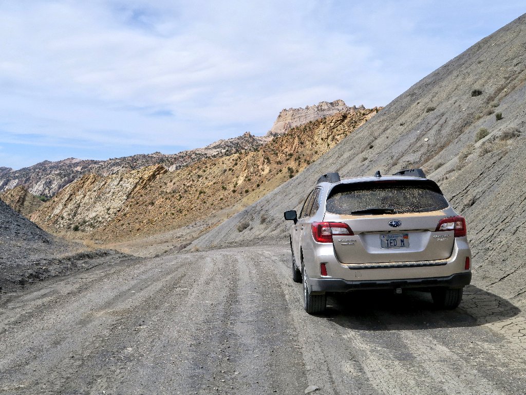
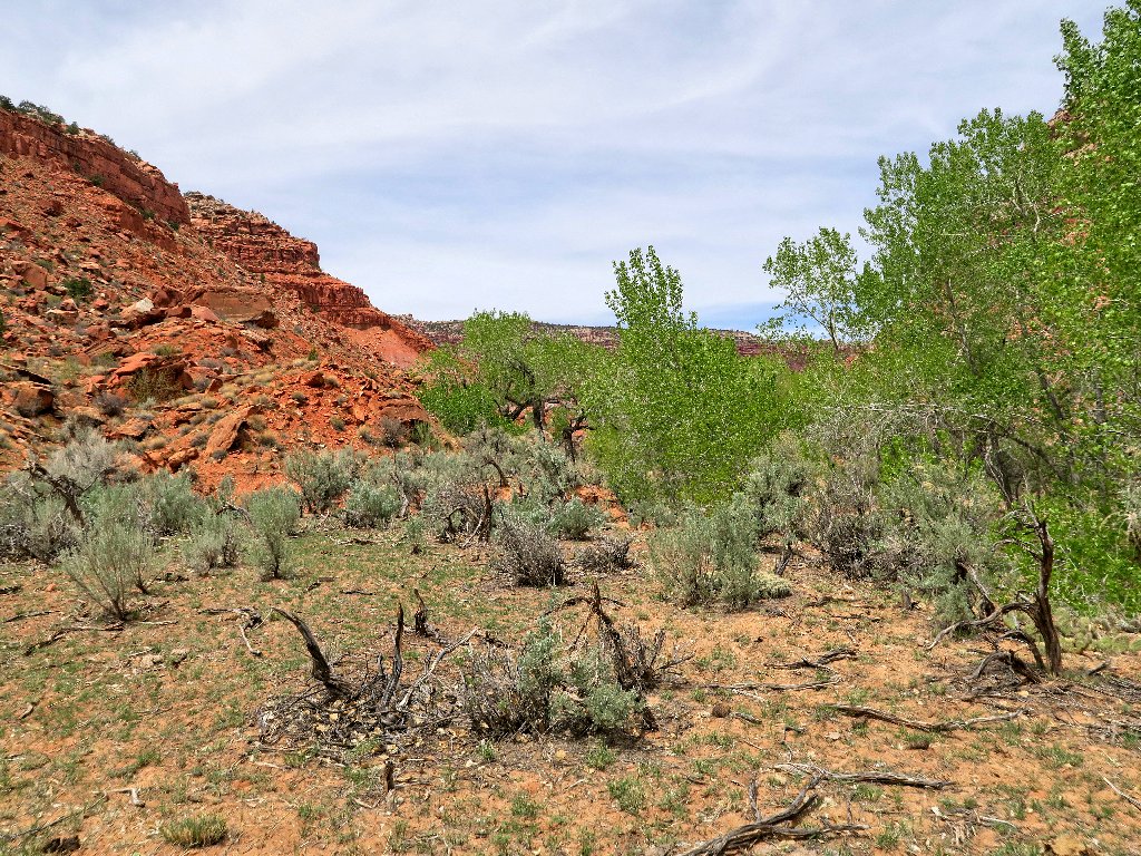
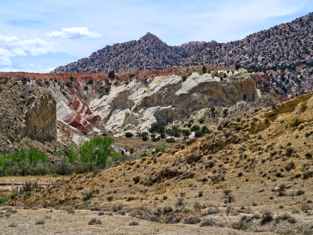
Having just done a little walk up at Kodachrome Basin State Park, I have continued down the unpaved Cottonwood Canyon Road, traveling south of Grosvenor Arch for the first time ever. Although I had not necessarily planned a hike in here, there is some unique and beautiful scenery on this byway:
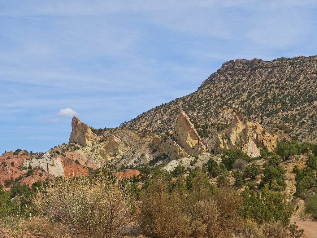
Candy Land
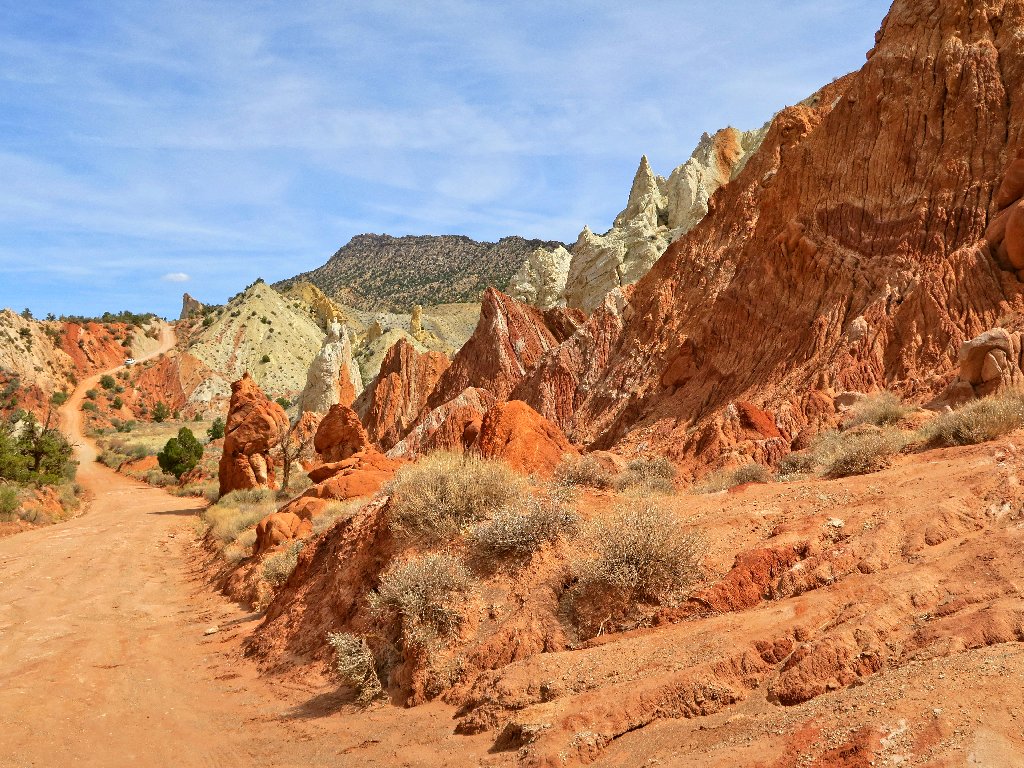
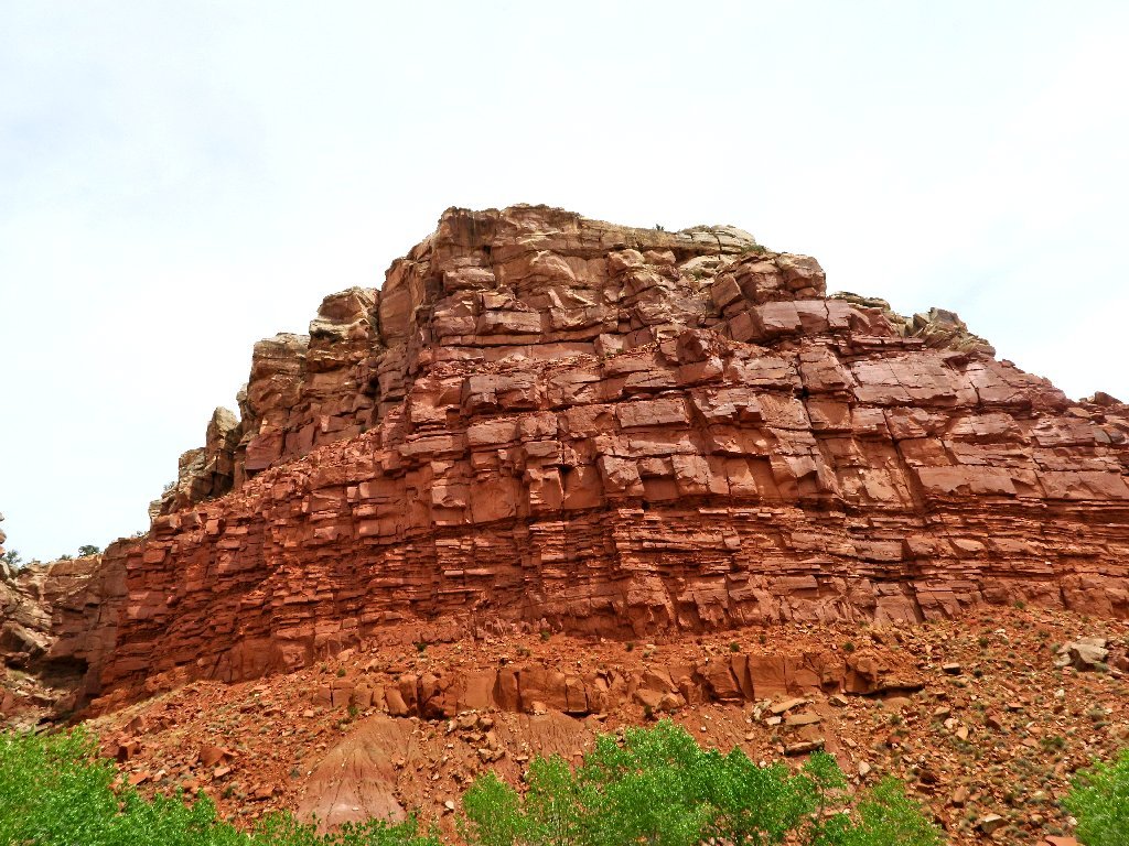
A portion of The Cockscomb formation
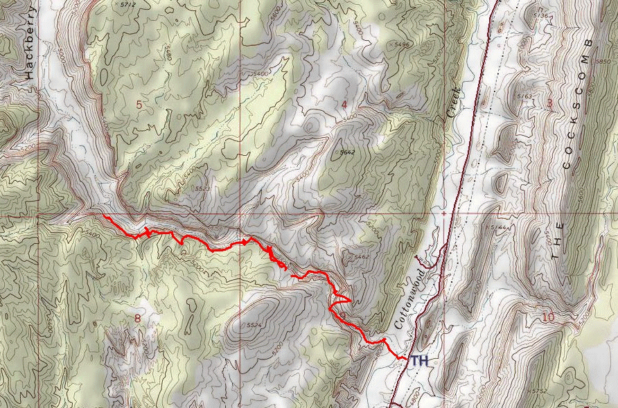
At some juncture I stop at a trailhead named Lower Hackberry Canyon. Knowing nothing about it, I decide to give it a try. Having not bothered to don my boots, and learning immediately that I must ford a creek, I abandon the walk and continue down the road.
Two slow miles later, I stop. Having no real planned itinerary for today, I am flexible; but there were a dozen cars in that parking lot, and there even was a trail register. So I drive back the two miles and park again.

A woman signing the register says that she just saw a couple of mountain sheep up in the canyon. I hope to do the same.
At the trailhead
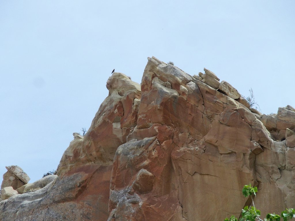
Across the road, a hawk doesn't care
This time I put on my boots and plan to do it right.
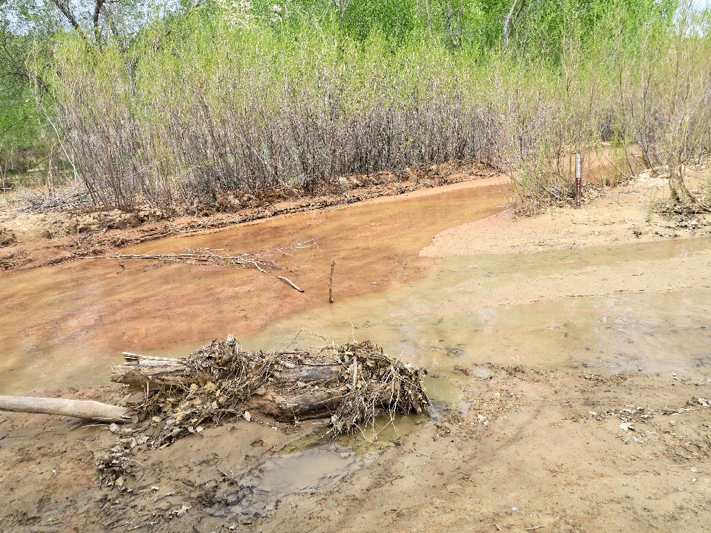
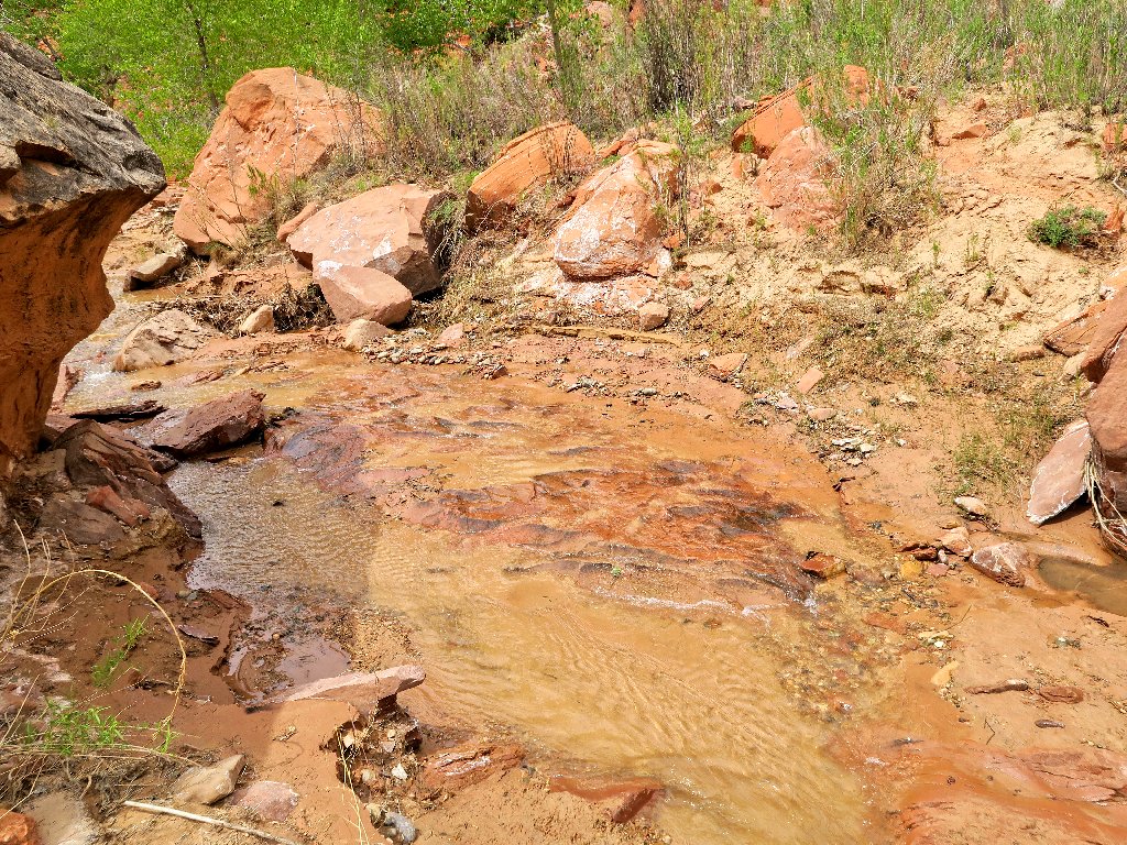
The creek is but an inch deep
It seems that stream crossings will be the order of the day in here. My waterproof boots have no trouble with the shallow passages, which never are more than an inch or two deep.
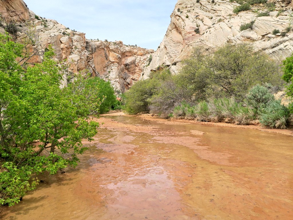
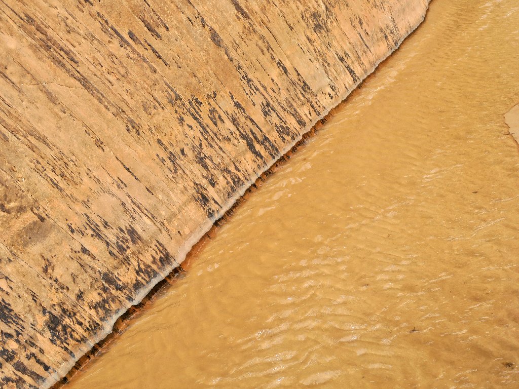
The red sand makes the water look dirty, but it isn't
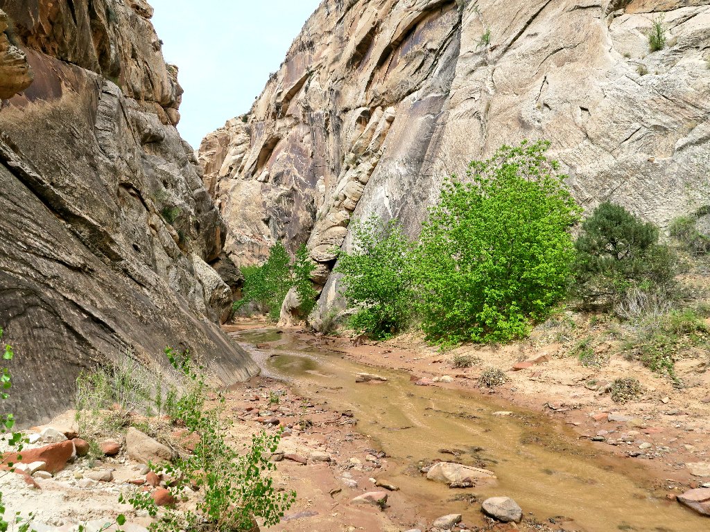
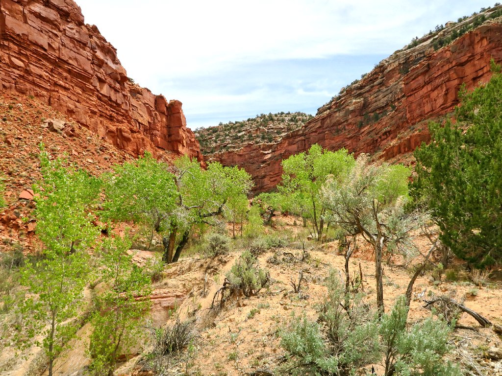
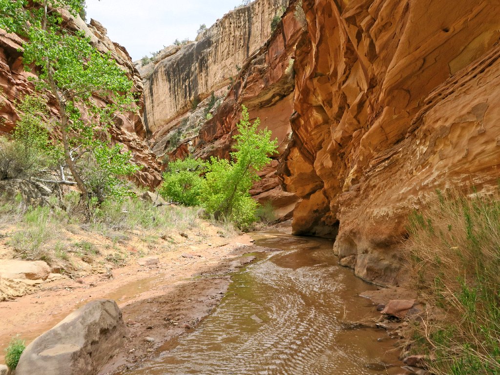
Entering Hackberry Canyon
A great place to be on Earth Day
This canyon is part of the 800-mile Hayduke Trail, a route designed by Edward Abbey to showcase the redrock experience of the American Southwest. The trail connects six national parks, several wilderness areas, and many other features, all on public land.
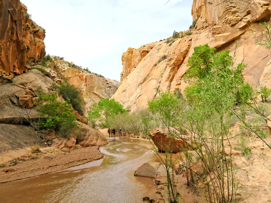
Company approaches
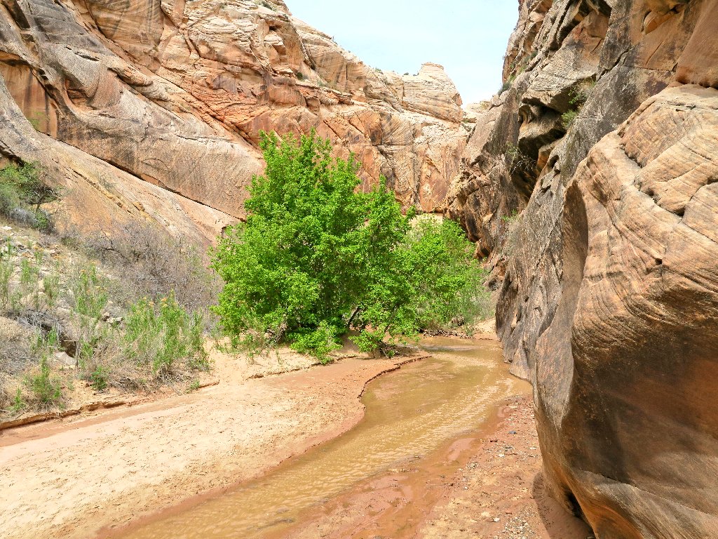
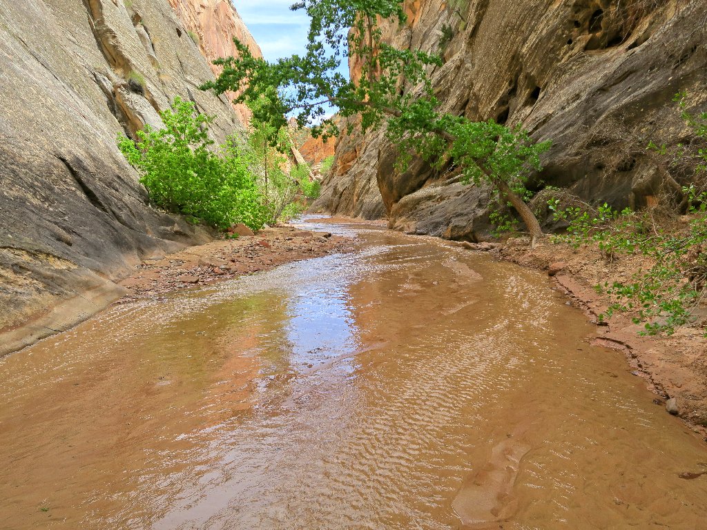
The canyon narrows
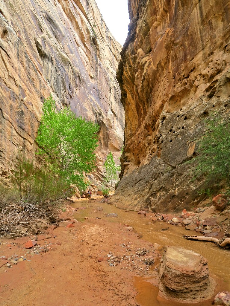
More hikers ahead

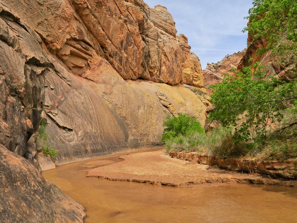
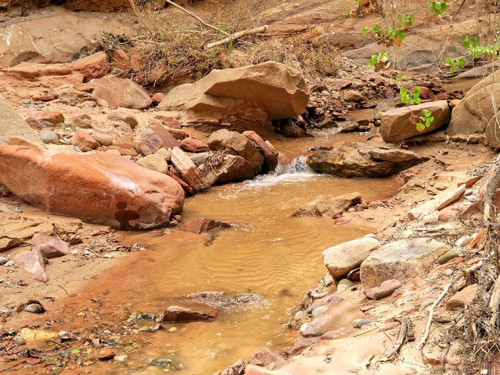
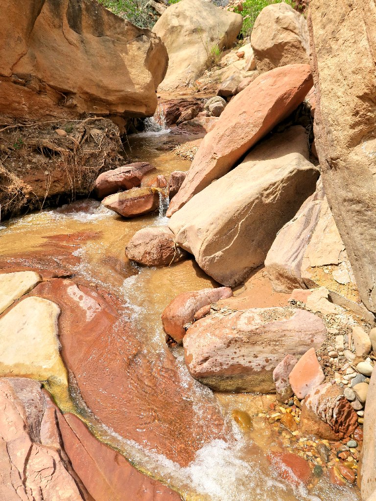
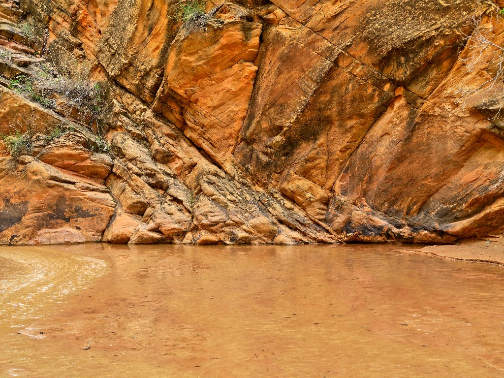
The creek-bottom rocks are beautiful
Aha! A waterfall
Up to now at least, this walk could have been done barefoot simply by staying
in the sandy-bottomed creek.
Now a few rocks are present in the stream
I encounter a family of three with two barking mutts. Hailing from
Flagstaff, they spend a lot of time here and elsewhere in Redrock Country.
When I mention Buckskin Gulch as a possible outing, the man says that they have
been there about thirty times and that the water should be chest-deep
right about now.
This means that I need to rethink my schedule. Instead of camping out at the Buckskin Gulch trailhead, I could stay in Kanab tonight and continue to Los Angeles tomorrow to visit my convalescent hiking partner, saving a day in the process. Yes, I believe I'll do that. Besides, I know where to get a great cheeseburger in Kanab.
The man also says that this canyon is eleven miles long, but that it soon opens up. I will check it out.

What an interesting and lovely spot
Less than a mile farther up, the canyon does disappear, and so does my interest in continuing upstream.
End of the line for me
I have traveled nearly three miles already. That's enough.
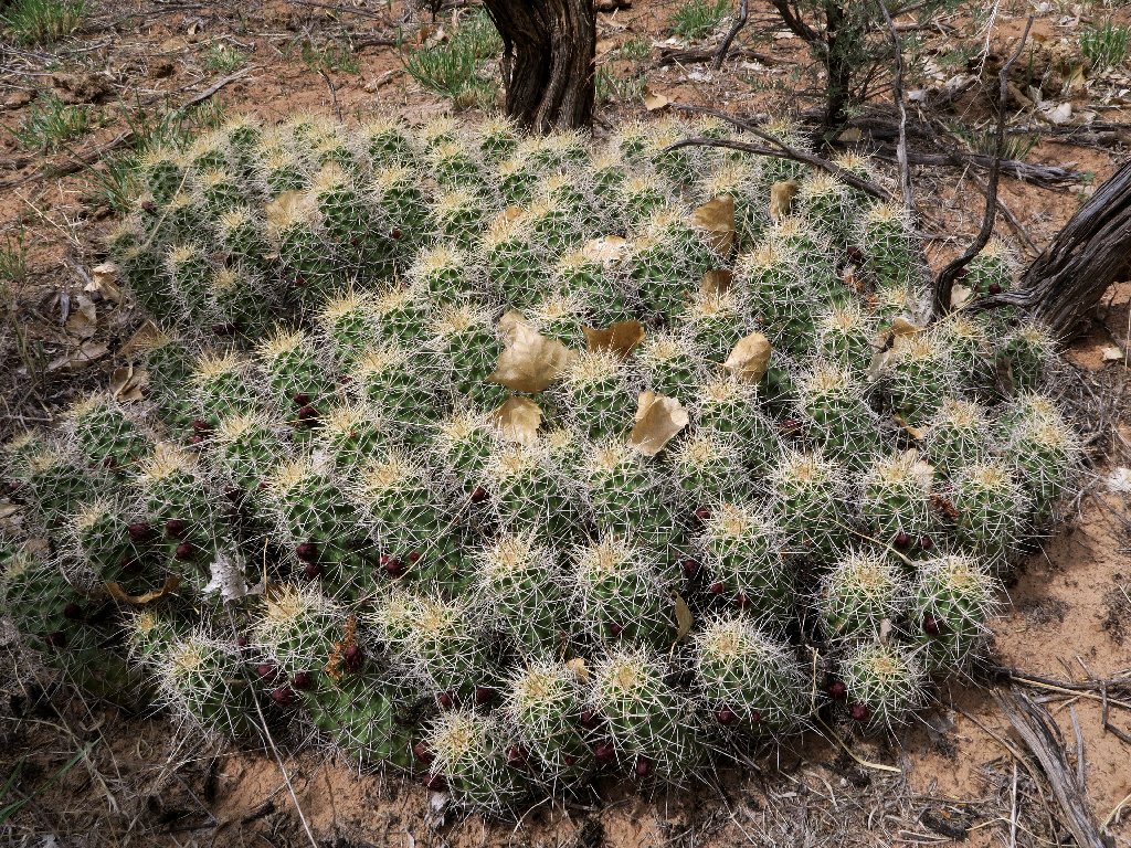
Kingcup Cactus conference
Starting back
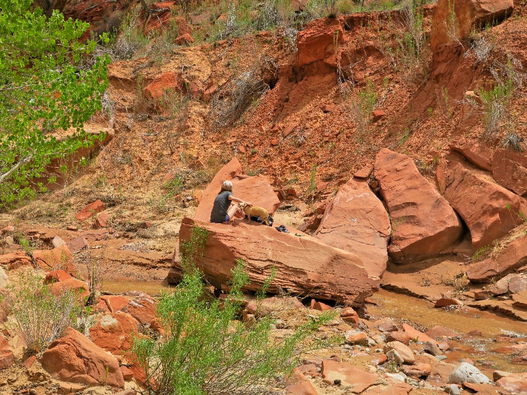
The doggie isn't barking at me anymore
My new camera has a greater pixel resolution that the others, so it picks up more details:
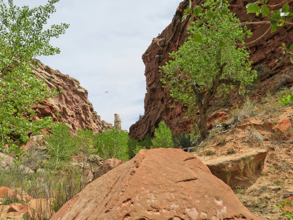
What looks like a bird in the sky actually is a butterfly

Now, I am not even bothering to access all the creekside
trail-segments. Much of the time, I am content simply to slosh
down middle of the creek. Even if my socks were to get wet, it wouldn't
matter.

Opting for the tunnel route
Pretty
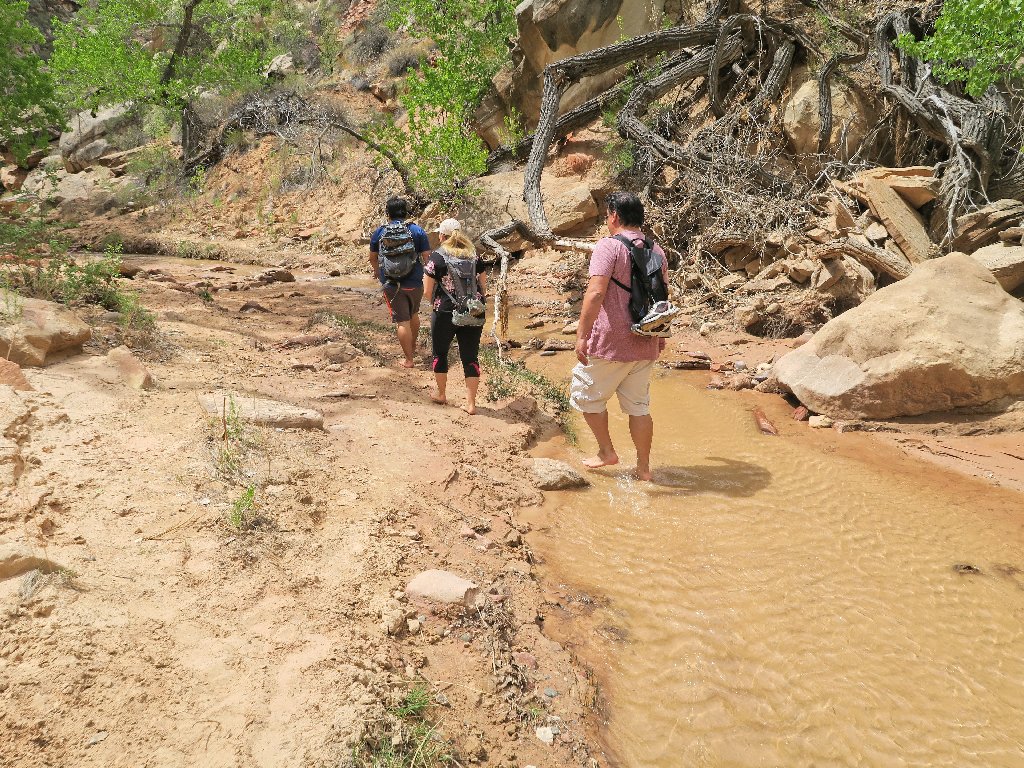
They all are barefoot
The creek bottom is the only trail
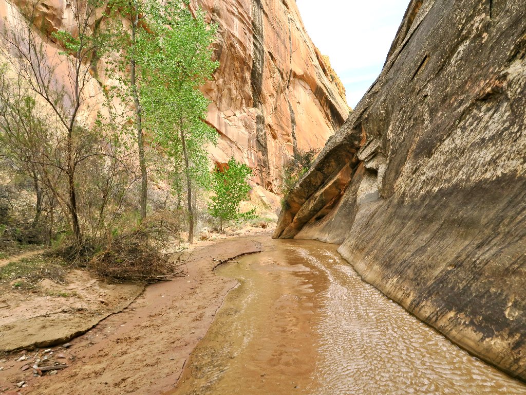
Nearing the end of the canyon
Nifty patterns
Almost too soon, this delightful excursion is finished.
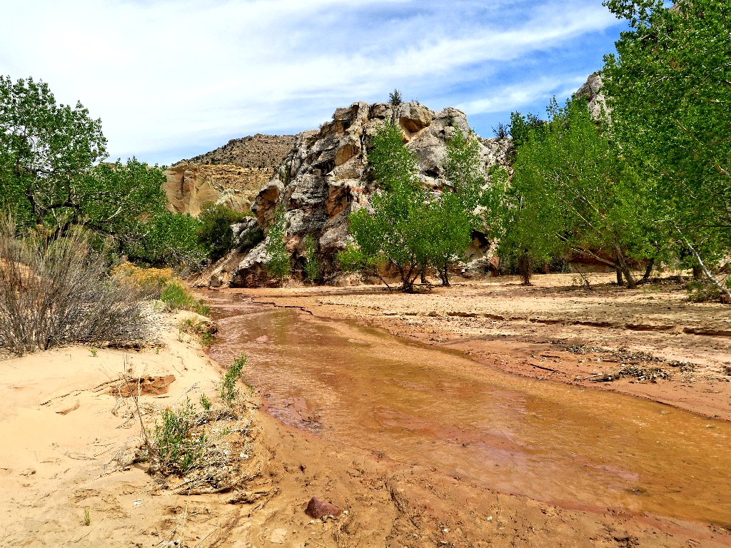
Exiting the canyon

The hawk still doesn't care, but it has changed perches
§: What a wonderful experience, and I nearly missed it!
Traversing a wet slot canyon so easily is new to me. I highly recommend
the 'go barefoot' option, although one's mileage could be limited without
reverting to footwear at some point.
Once again, my lack of homework had let me down. Apparently, there are some eminently photographable dinosaur tracks on a canyon wall in there; but I wasn't looking for them. The panel's location even is published online.
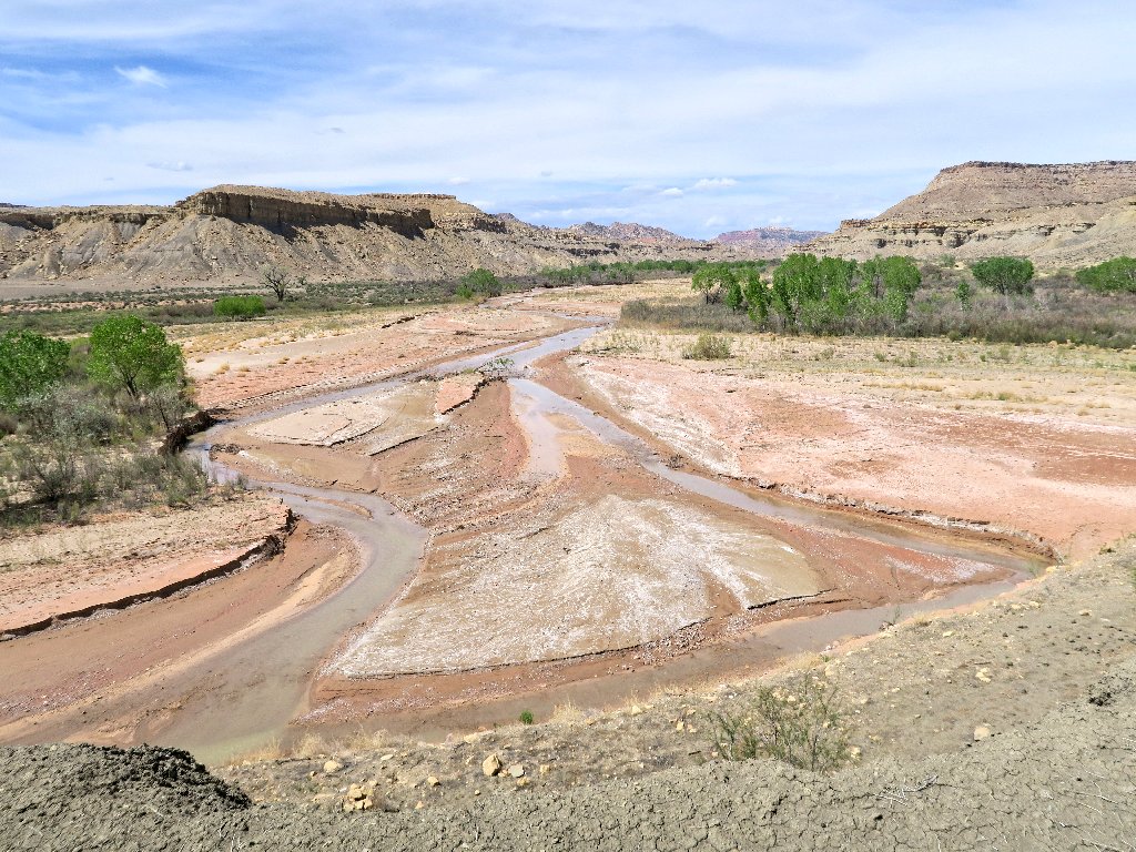
In any case, I recommend that you not go here unless there is water in the
creek. Returning here the next year with a friend, we found the wash
dry — and boring.
| Scenery |  |
| Difficulty |  |
| Personality |  |
AFTERWARDS
A subsequent visit to the nearby BLM Visitor Center revealed that Buckskin
Gulch off the Wire Pass Trailhead would indeed be water-laden at this
time; that's the stuff of another trip.
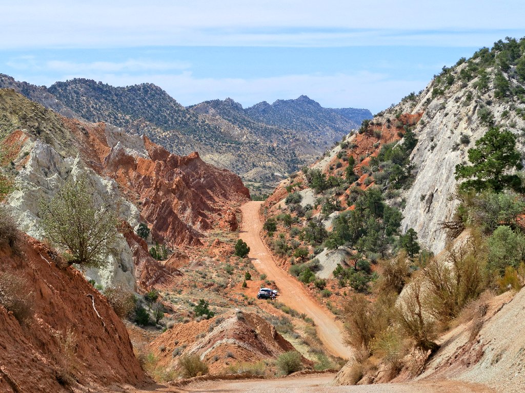
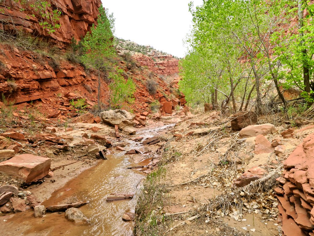
More scenery on Cottonwood Canyon Road
Two other photographers have stopped here as well
