
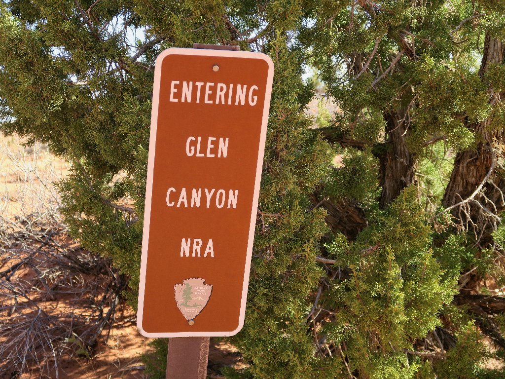
Glen Canyon National
Recreation Area, Utah
|
Golden Cathedral Glen Canyon National Recreation Area, Utah |
April 21, 2018
Four years ago, it took me three hours to drive down to hike in Coyote
Gulch, and I didn't get off that trail until just before dark. Hoping
to avoid a repeat of that miscalculation, I head out of town at
6:30 a.m. Unfortunately, none of the stores are open yet;
so I am not able to procure the sandwich that I had wanted. This represents
Idiocy #1: I could have picked up the food last night.
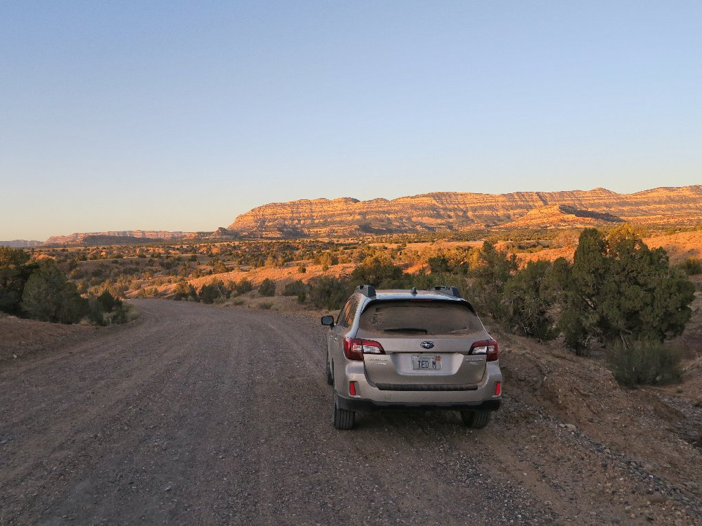
Hole In The Rock Road at seven o'clock
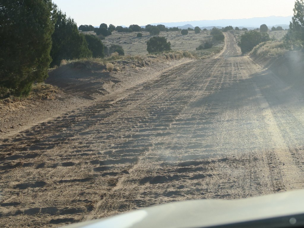
The washboards are as bad as ever
Today, dozens of folks ultimately pass me by, all going at least twice
as fast. I don't get it. Many are driving ordinary SUV's or even
passenger cars, which suspensions are no better than that on my new Outback;
so it seems that only I am unwilling to beat up my car mercilessly just to
save some time. Because even 10 miles per hour can be enough to
cause my teeth to chatter, it takes an hour and a half to cover the
twenty-six miles from the pavement to the trailhead.
Despite the road condition, many destinations around here can be reached by a passenger car. The Egypt trailhead is not one of them, however, for there is a hundred-yard stretch of sandstone slabs that can be safely negotiatied only by a vehicle with at least moderate clearance.
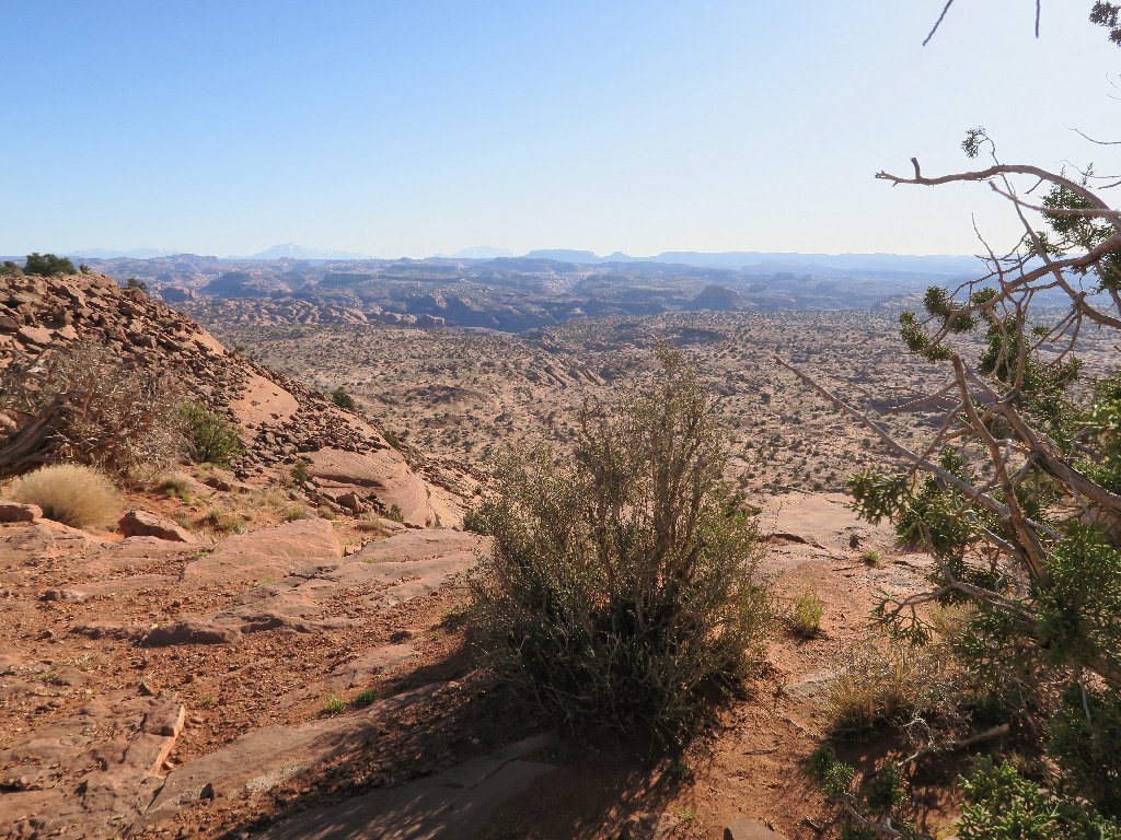
It starts right here, at the top of a cliff
Oh, no! Idiocy #2: I don't see any bag of gorp.
I must have left it in the motel room. The walk is only 9-10 miles,
though. Although I will have no food at all, it never has been a priority
with me on the trail anyway; so how bad could it be?
I have brought along a brand-new Mountainsmith pack that has a much bigger
pouch, in anticipation of carrying my boots in it for a while. It seems,
however, that the flimsy side-pockets cannot handle my 24-oz.
water bottles, because with two pounds of water in each one, they hang out
toward the back. Not only does that create the effect of extra weight,
but there is a danger of losing a bottle as well. It seems that I am
guilty of Idiocy #3: I never tested the equipment in advance.
So it's back to my aged Ultimate pack, which is a bit small but is perfectly
designed. I'll use my lighter-weight, sticky-rubber slickrock
boots as well.
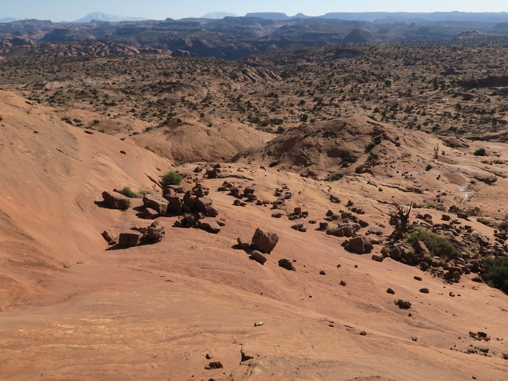
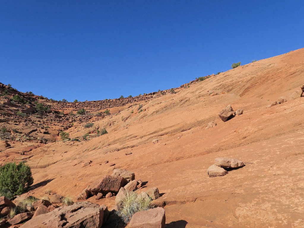
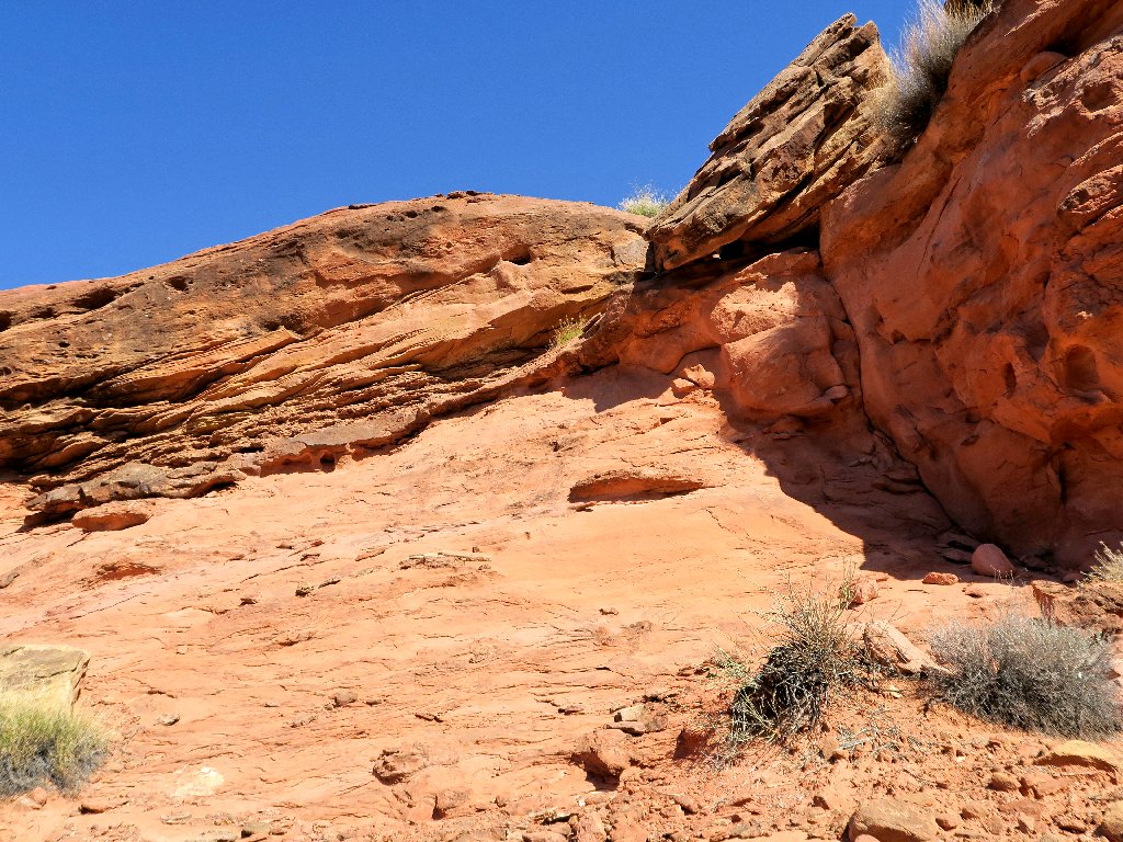
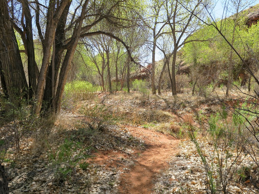
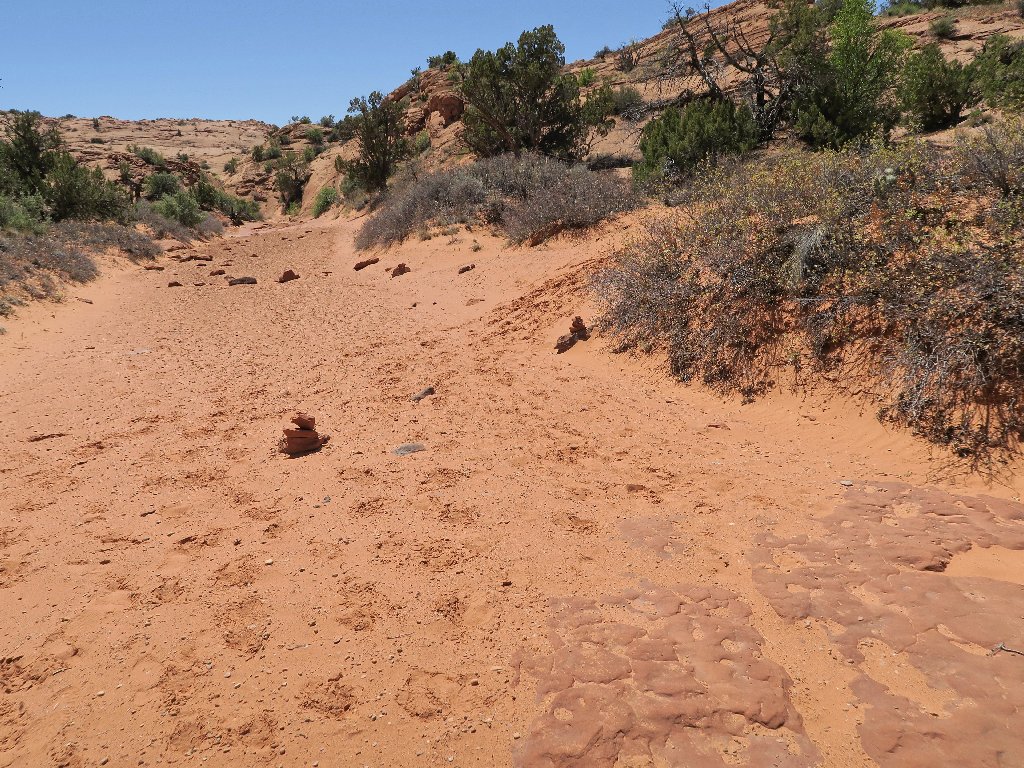
The hike begins on a steep sandstone slab
Although most any route down would suffice here, I am content to follow the helpful cairns. At the bottom I am greeted by a lot of sand, which was expected.
The route is easy to follow
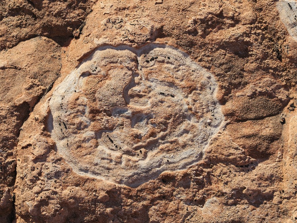
Nature's handiwork
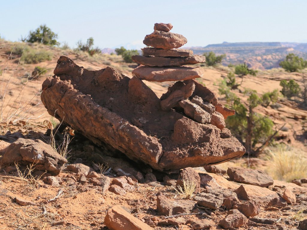
Man's handiwork
Although I already know to keep left of the big canyon, the trail actually
is quite well-marked to this point.
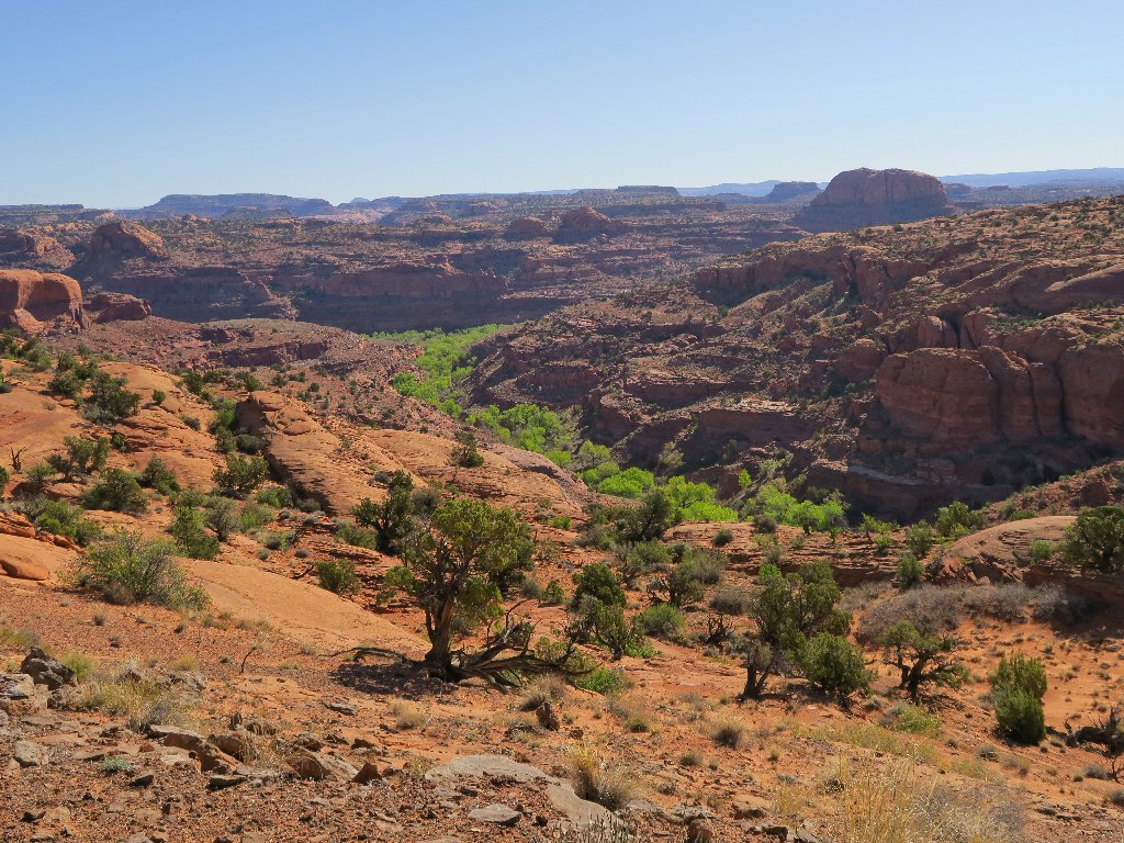
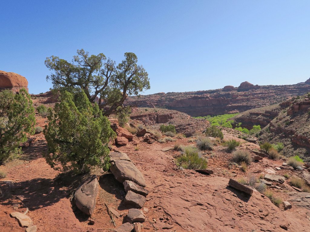
Fence Canyon
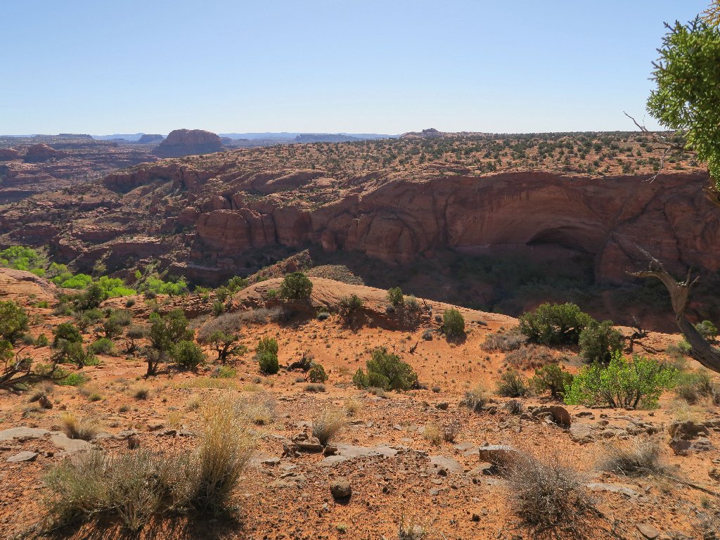
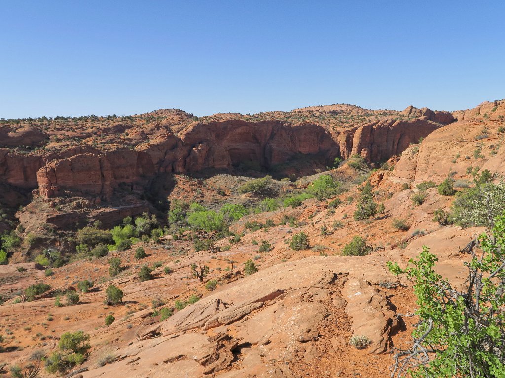
According to online directives, the easiest route is to remain on the lip of the canyon nearly to the end, before trying to descend.
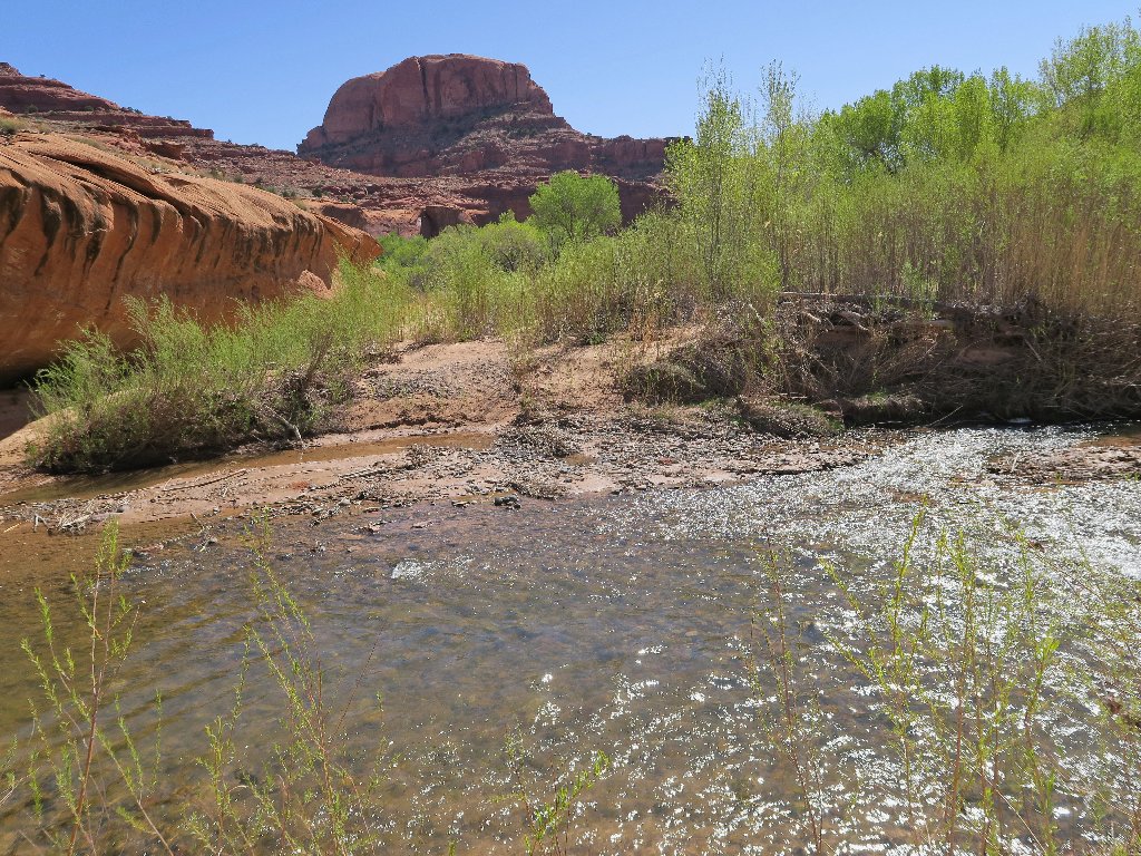
The objective is near the big butte over to the right
Marked merely as 5270T on the topo map but referenced unofficially as Neon Dome, that big rock sits right above the entrance to Neon Canyon, making it an ideal landmark.
Bypassing a trail leading down
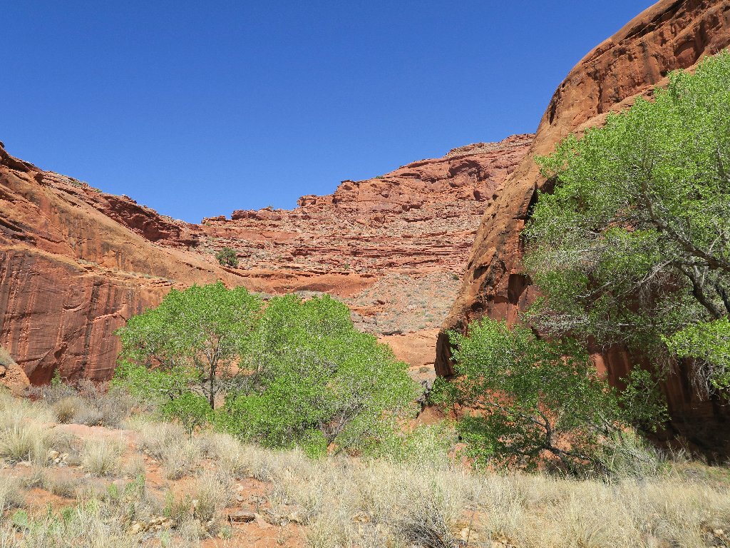
It isn't much farther now to the edge of the big canyon, yet there are conflicting trail indicators.
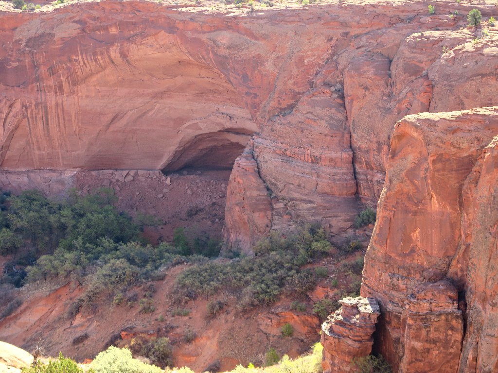
Unsure now, I plunge straight ahead
Oops! Suddenly, I am cliffed-out. This is a good photo-op, though.
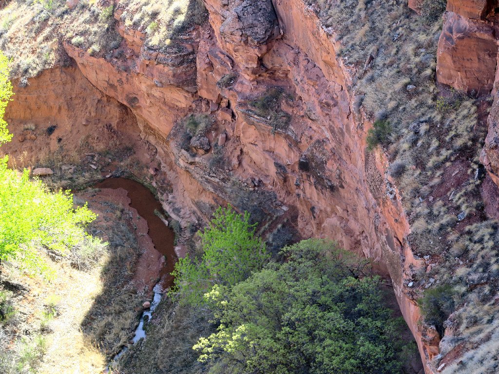
No trail over here
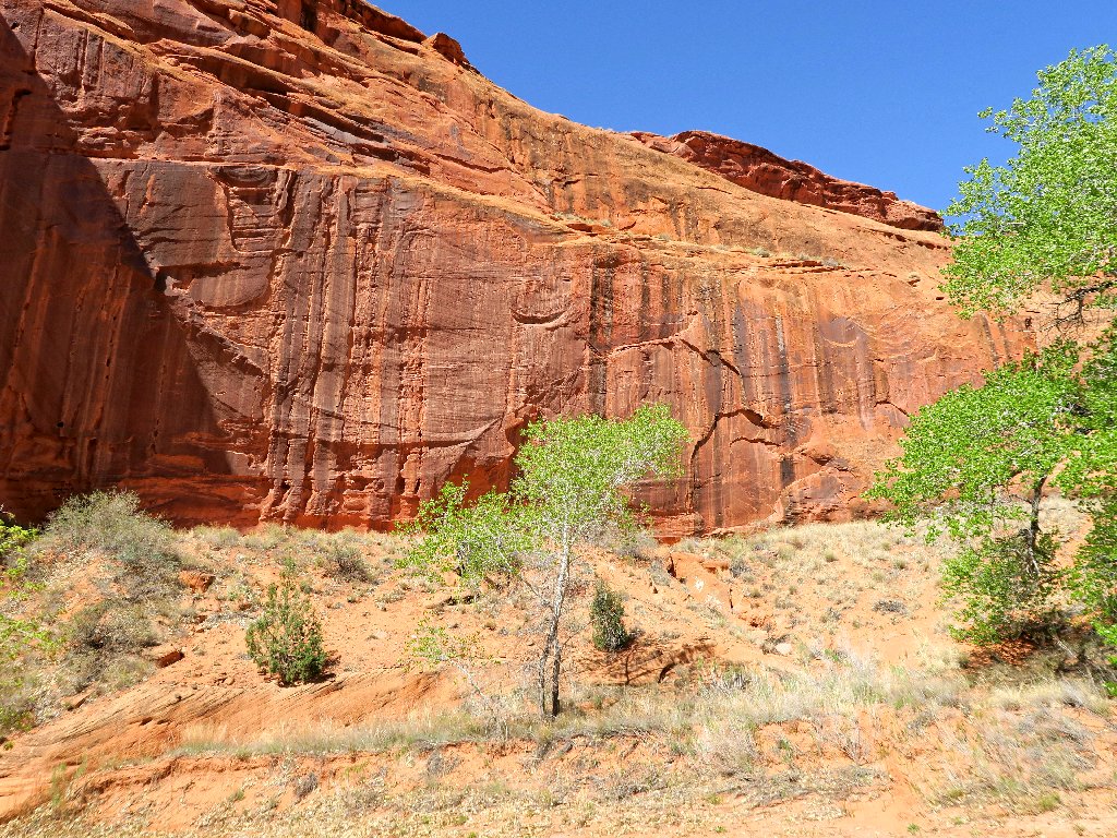
Backtracking a hundred yards, I can see a nice trail down by the trees; yet getting there is problematical. Some blogger had written not to head downward too soon into Fence Canyon, but apparently he was referring to a point much farther back on the route.
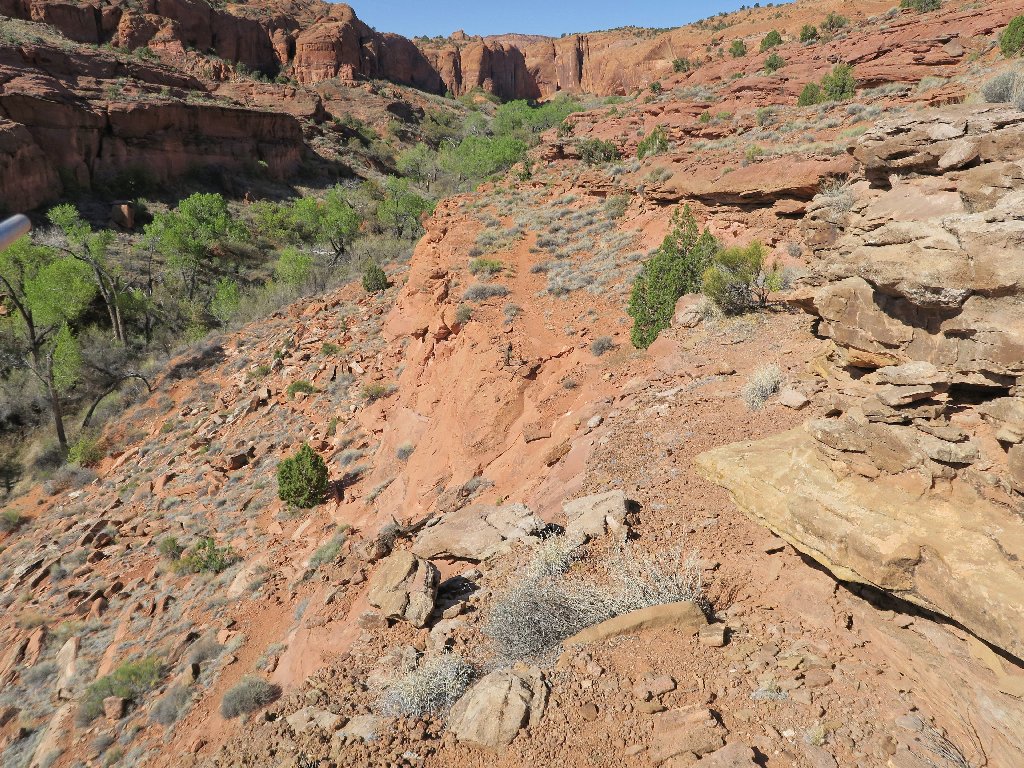
Some paths work better than others
Scrambling down here is faster than retracing a lot of steps
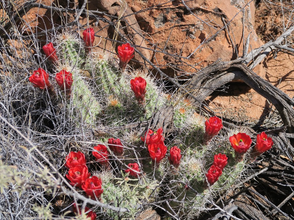
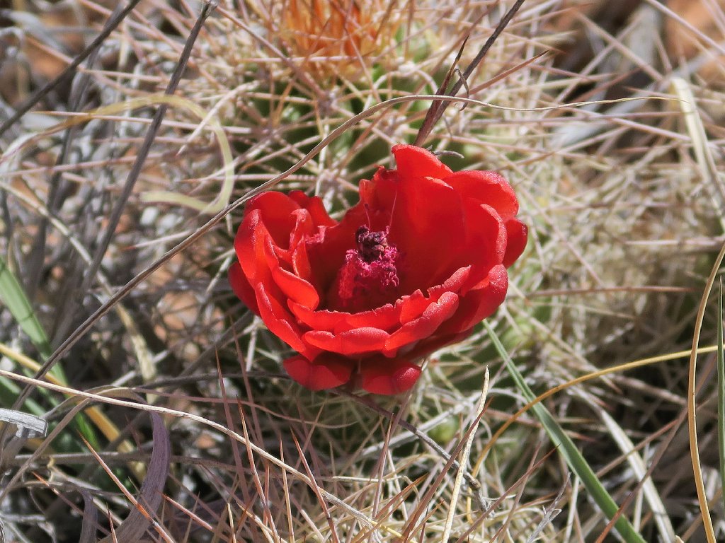
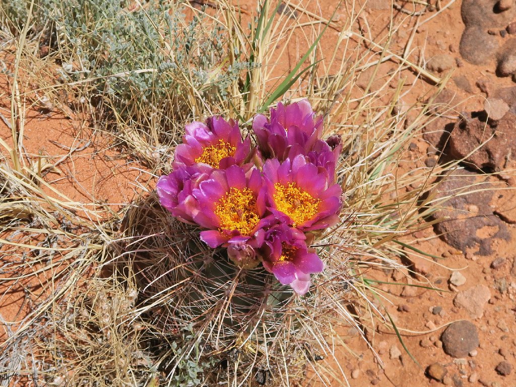
Claret Cup Cactus is a desert jewel
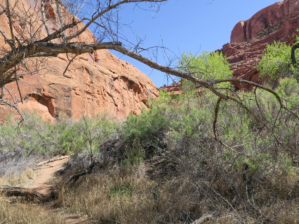
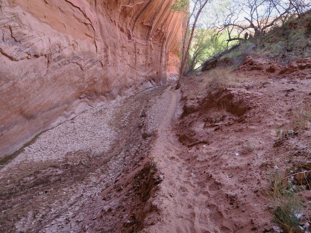
Having finally gotten off the canyon wall, it seems that my troubles are over.
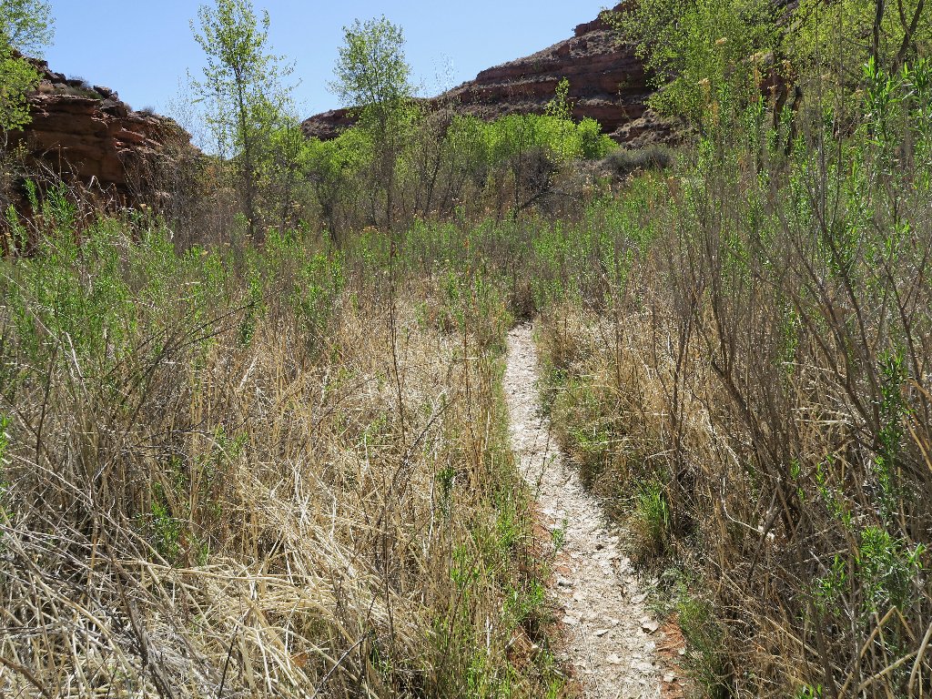
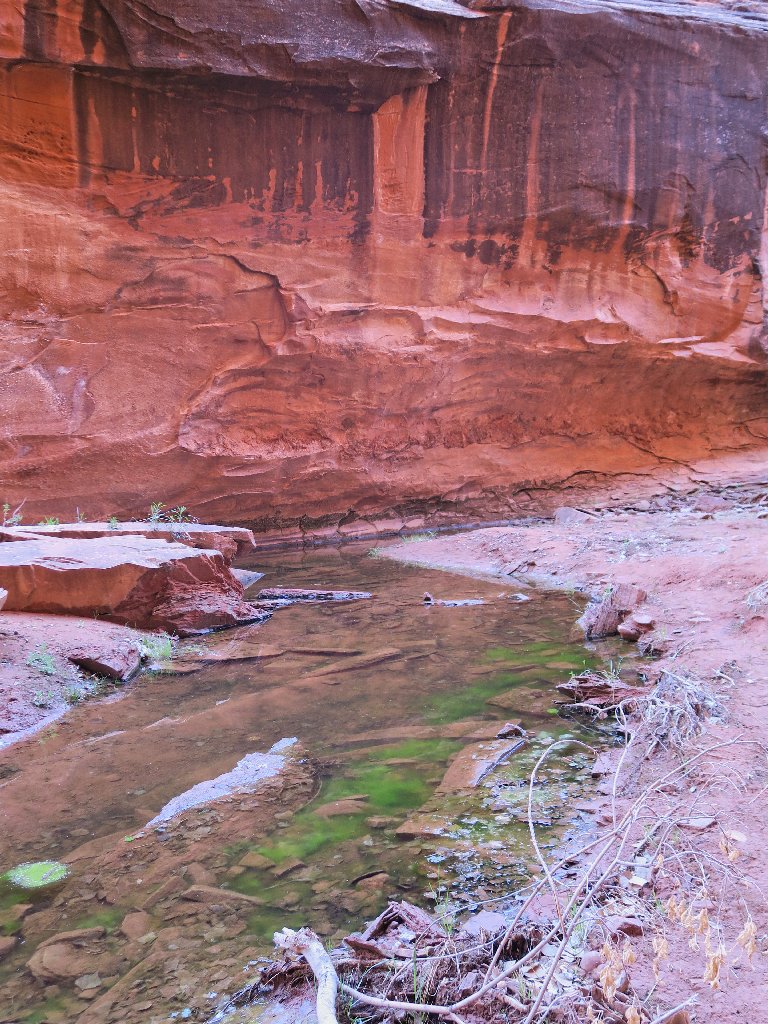
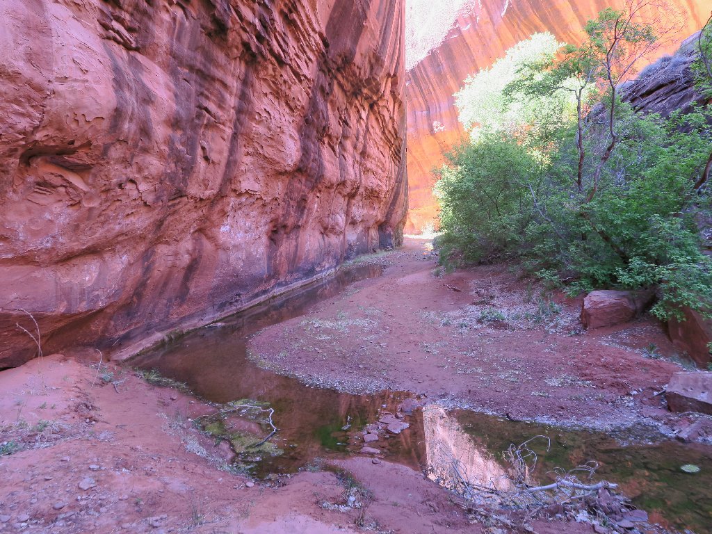
Easy walking in here
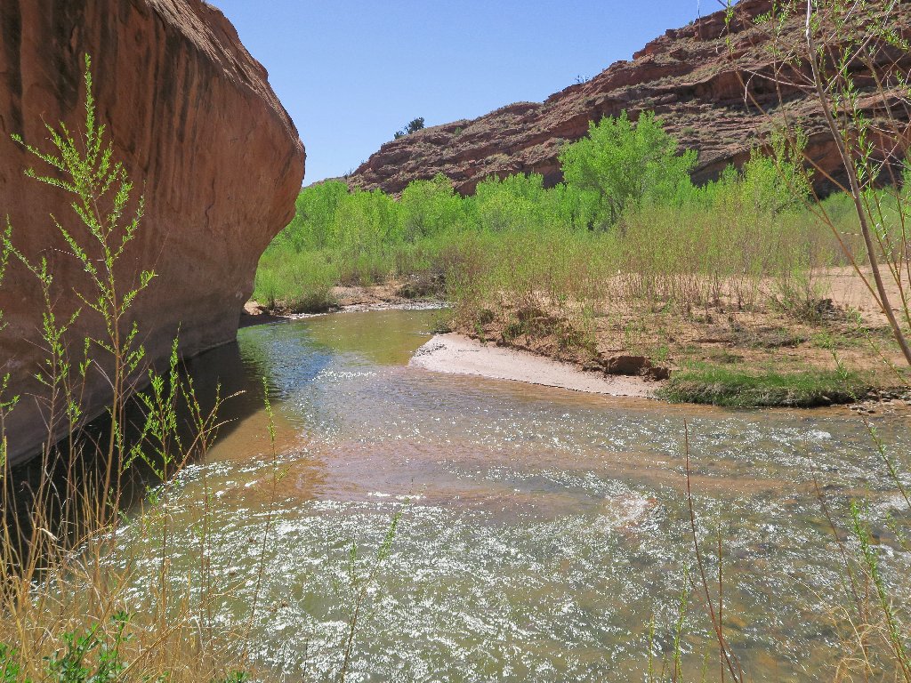
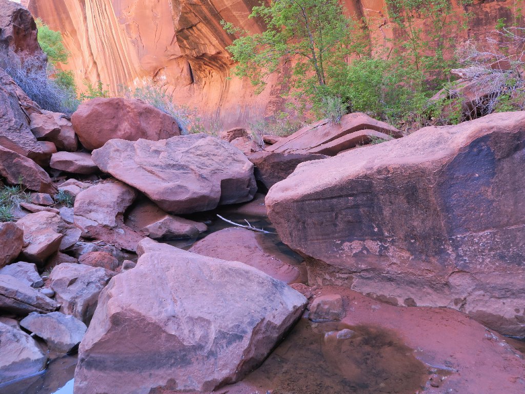
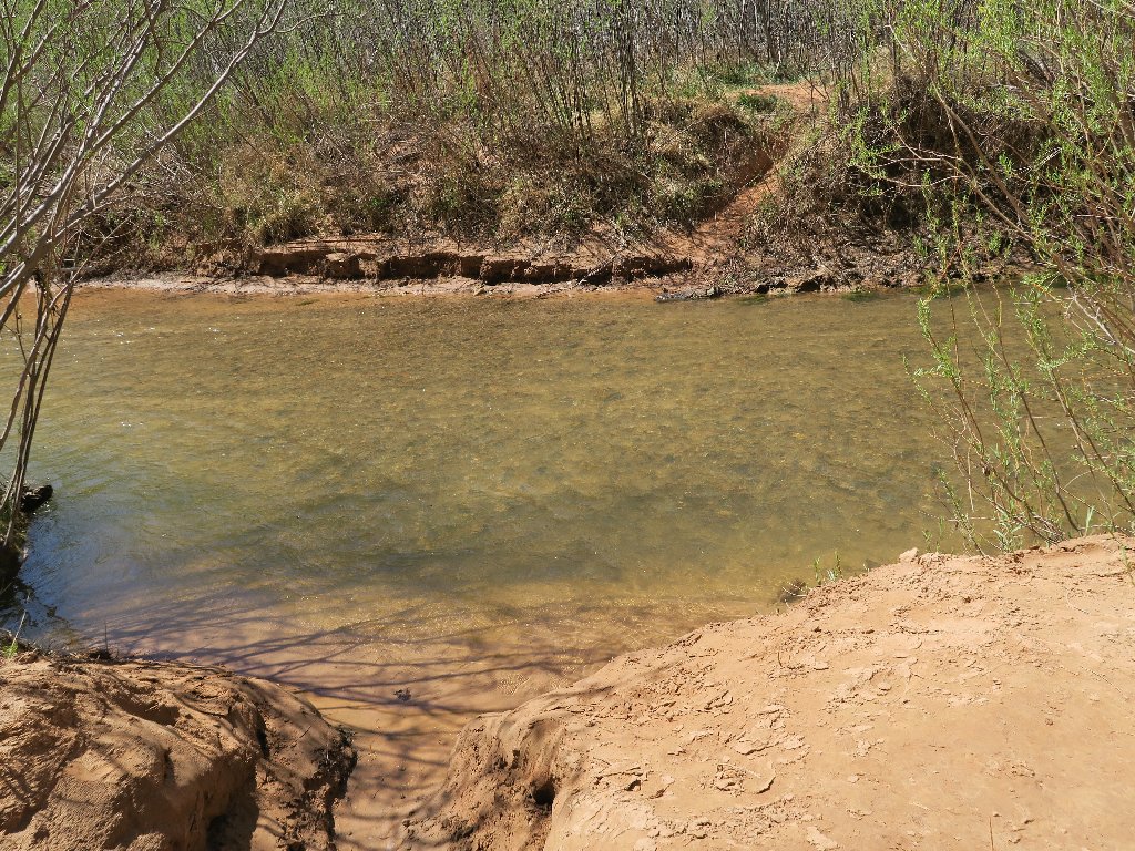
Presently, the trail dead-ends at the bank of the Escalante River.
It is time to begin the anticipated series of water-crossings.
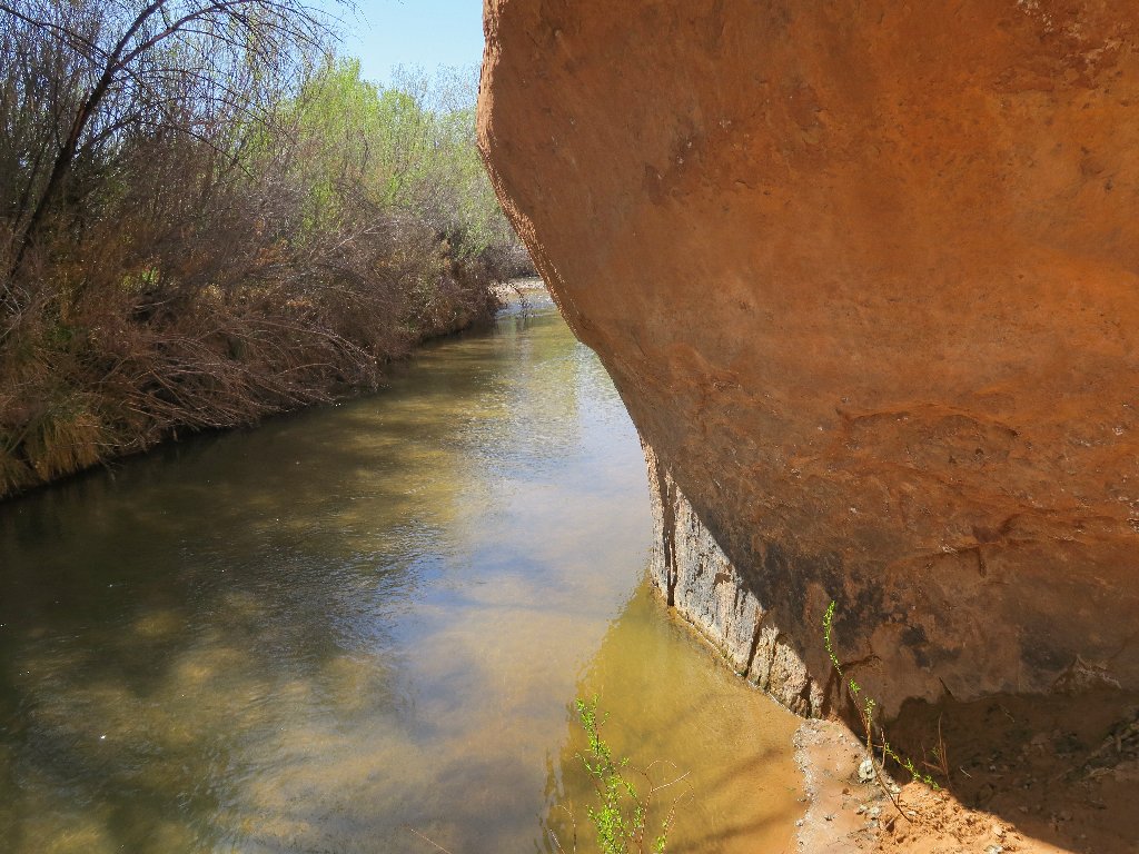
It's adventure-time!
My $5 pair of water shoes should work just fine; but now I am confronted by
Idiocy #4: My boots won't fit into the pack. This means
that I'll have to carry them in one hand while wading. That proves not to
be an issue, though. The river bottom is soft sand and the water is not
even knee-deep, so this crossing is almost trivial.
Standing just beyond the other bank is the only person I would encounter
today — a man more than two years older than I, from Florida.
Albeit in good spirits and seemingly good health, he has not seen another
human in four days and he also is out of food. When he asks about the Fence
Canyon exit, I wish the man well and point the way from which I just came.
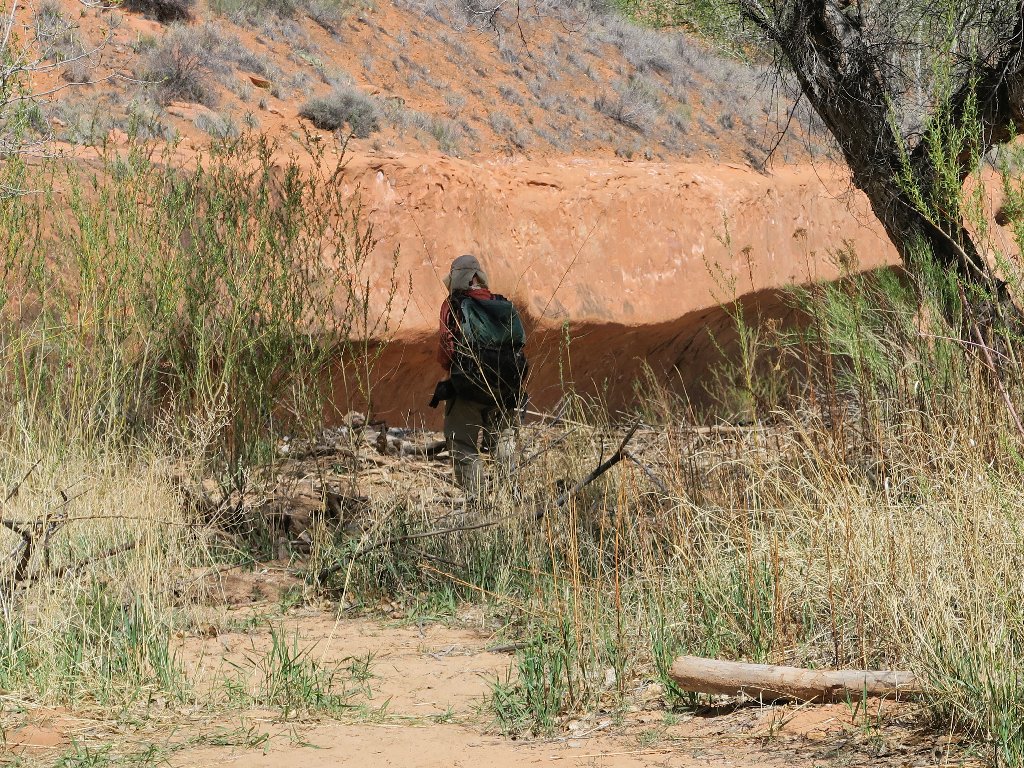
I am not the only geezer on this trail
Anticipating several other creek crossings, I opt simply to remain in my water shoes and continue to carry the boots in one hand for the duration. The next encounter looks a bit problematical, because there is no easy exit:
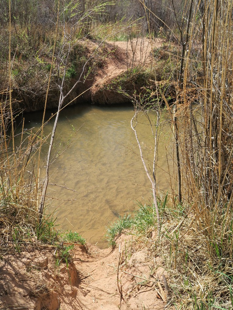
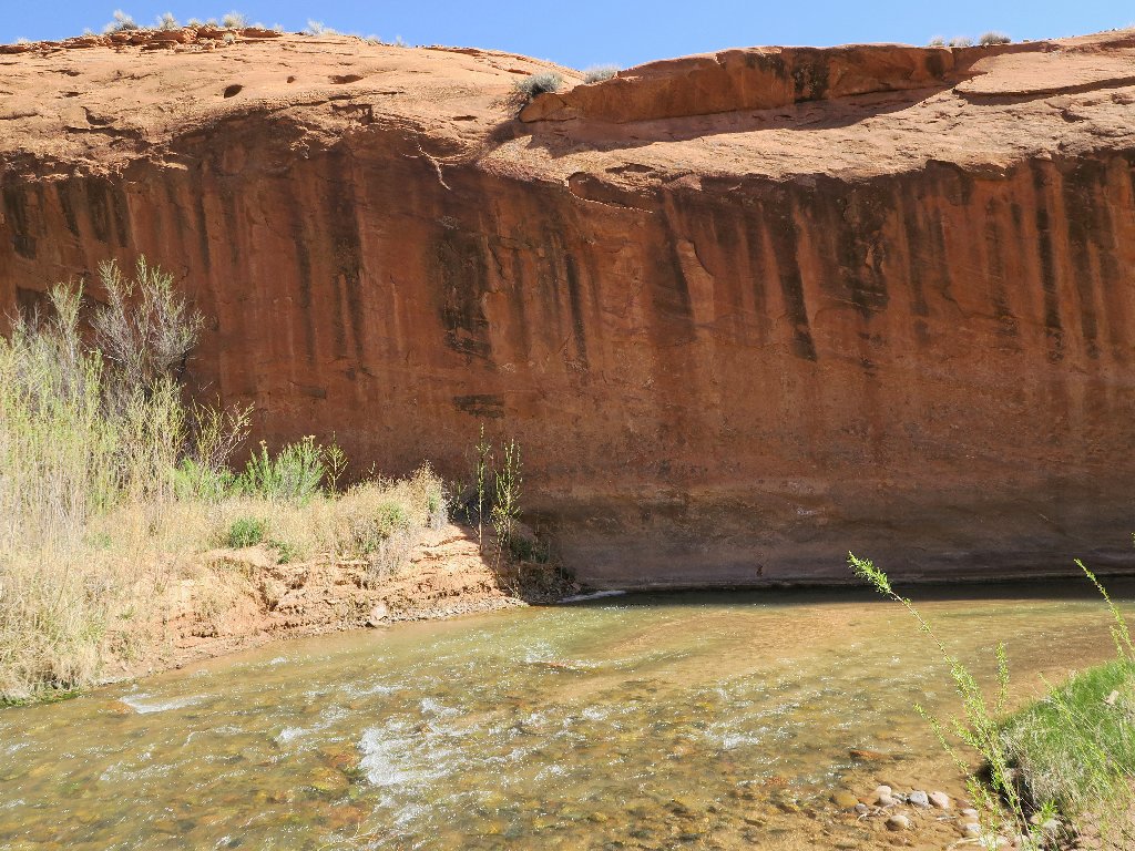
Using tree roots as handholds saves the day on the other side
This crossing is at a bend in the river
Although it could be done in a single 'pass', it looks easier to tackle this ford in two parts, especially because now there are some rocks on the bottom.
Part 1
Part 2
Neon Dome is hovering just ahead, so I must be close now. It's
gravy-time! At the canyon entrance, I put my boots back on,
after walking six-tenths of a mile in water shoes.
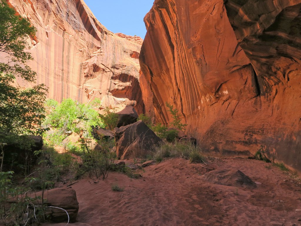
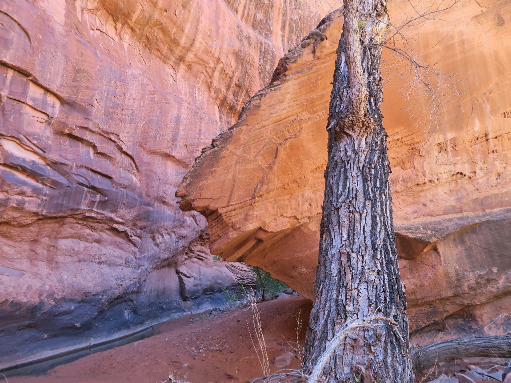
Neon Canyon awaits me
Starting in
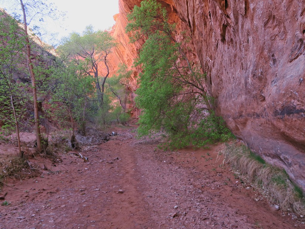
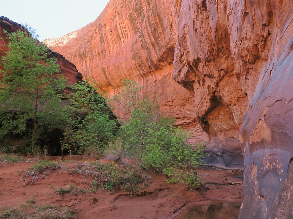
It just gets better...
...and better
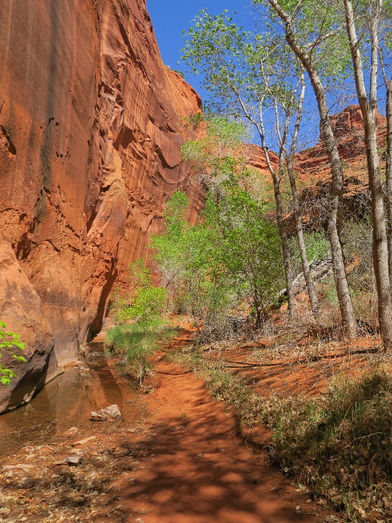
Now I am becoming a bit concerned, having traveled more than a quarter of a mile past the waypoint indicated by the GPS. Although I don't know which side of the canyon to watch, I surely could not have missed the main attraction.
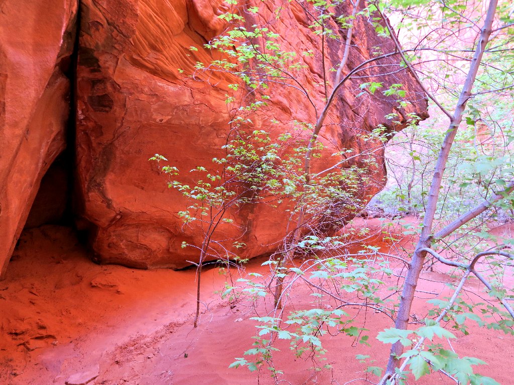
A hands-on scamble is required here
There still are plenty of bootprints ahead, though, and that is encouraging.
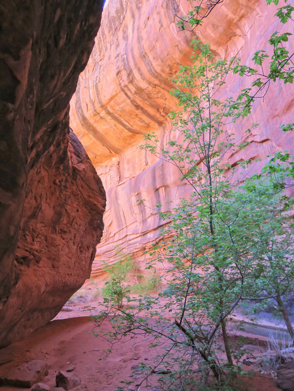
The walls are closing in
Presently, I am required to veer well up to the left on a dirt mound, using what
is beginning to look less and less like a real trail. Then, suddenly I spot
something beyond a three-foot-wide gap between the canyon walls:

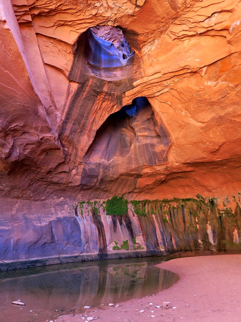
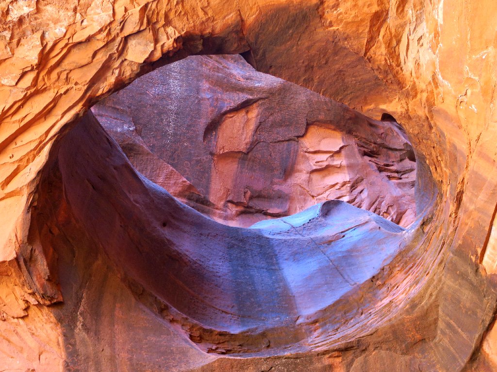
Is this really a magical entrance?
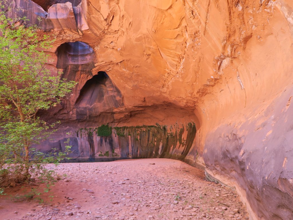
Yes, it is
Oh, my! The name "Golden Cathedral" hardly does justice to this magnificent spectacle.

This is why I go hiking
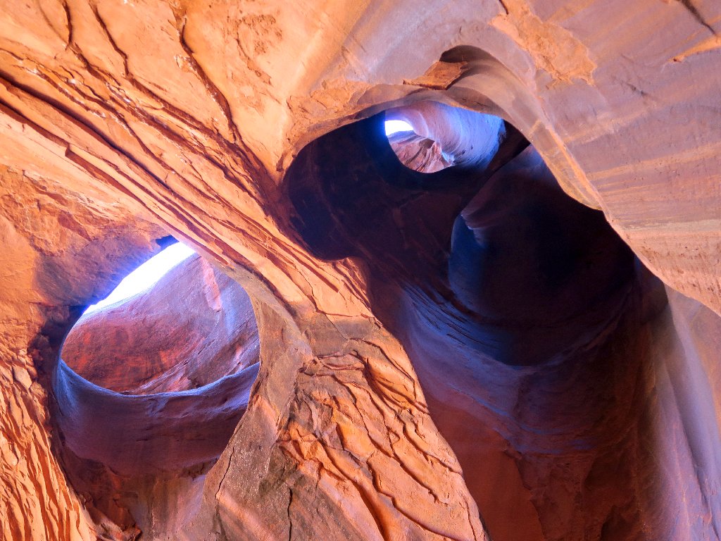
Three days ago, I was over at Double Arch Alcove in Zion, where no actual arches yet exist. This one is a Triple Natural Bridge Alcove, and the holes are very real. I had not read that this grotto actually is at the end of Neon Canyon, but of course that makes perfect sense if the water is coming through here.
This is a popular rappelling spot for the climber set. It would be
interesting to watch someone in action, but having the place to myself feels
extra-special right now.
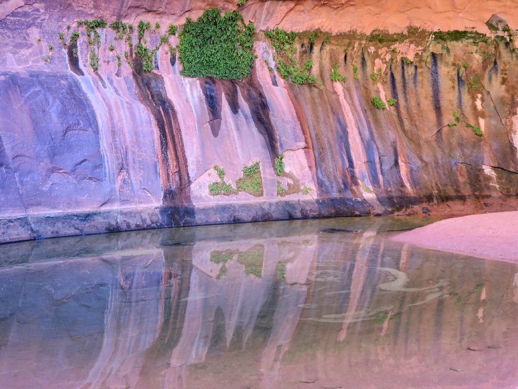
Exquisite
Of course, my camera would like to remain here longer; yet it must end eventually. There is time for a final shot of this incomparable setting:
So long
Starting back
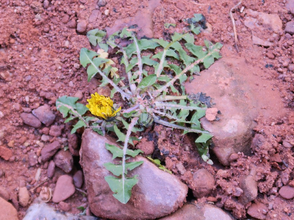
The only flower in Neon Canyon today is this Agoseris
Almost an optical illusion
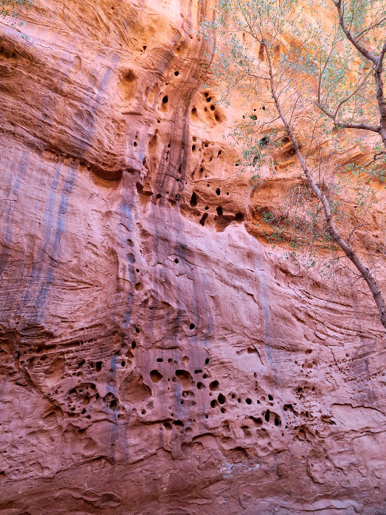
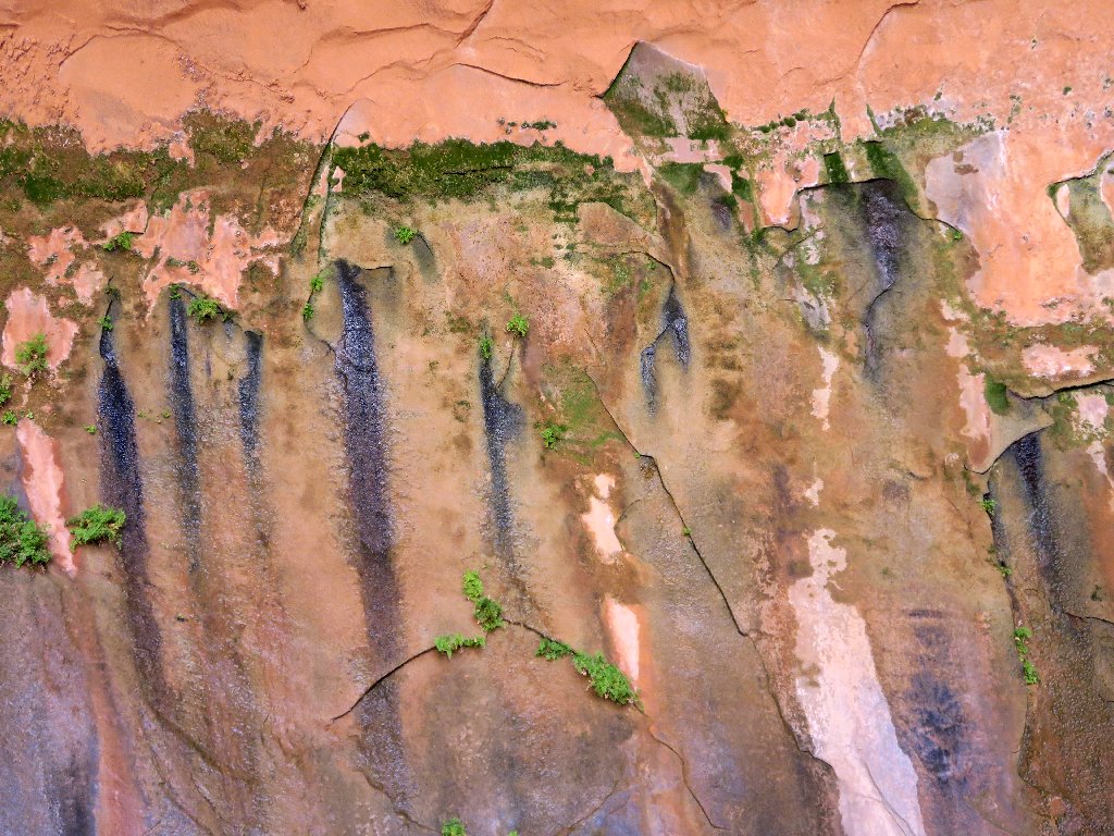
Neat stuff
I didn't see this trail previously
Exiting this slot by a slightly different route leads me
directly to the final river-crossing of the day.
I opt to do this one barefoot
Okay! Being back in the more ordinary world, it's time for
Part-2 of the mission. The plan is to take a shortcut
route back. The ranger said that it's not as pretty, but it
is shorter and I won't have to deal with the river anymore.
Idiocy #5: because I still have half a bottle of water, I don't bother to replenish my supply. After all, it's only four miles, right?
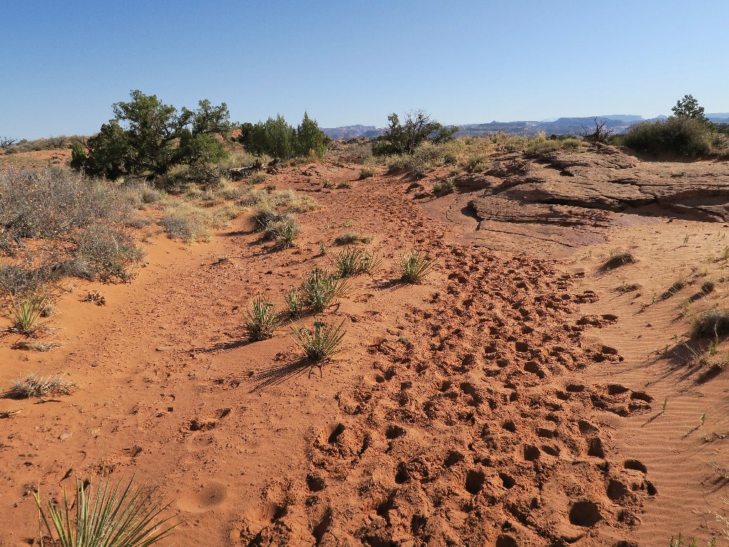
There is supposed to be a sand dune to climb. Walking down a trail
for a quarter of a mile reveals nothing helpful, so I return. This time,
I have the presence of mind to detour somewhat back to the river bank and filter
some water, yet thereby committing Idiocy #6: I filter only enough to
give me one full bottle, or 24 ounces of water. I could
easily have filled the other one, plus the filter bottle as well.
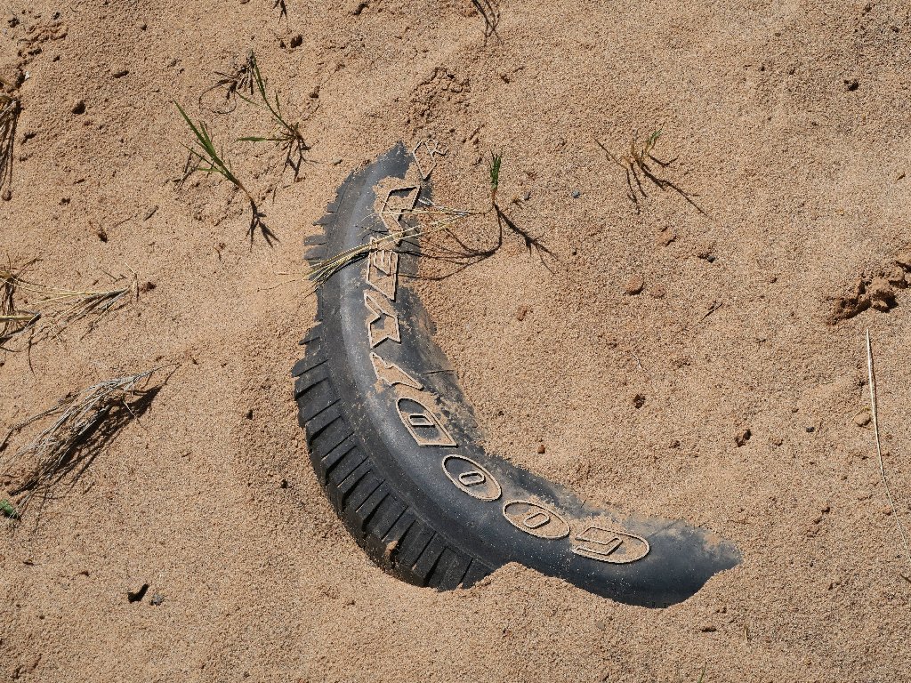
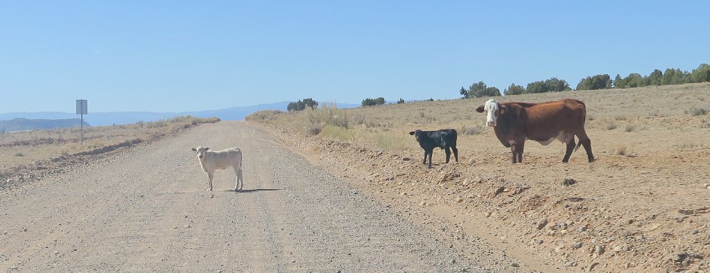
How did that abomination get here?
Heading in the other direction, I quickly find the desired route.
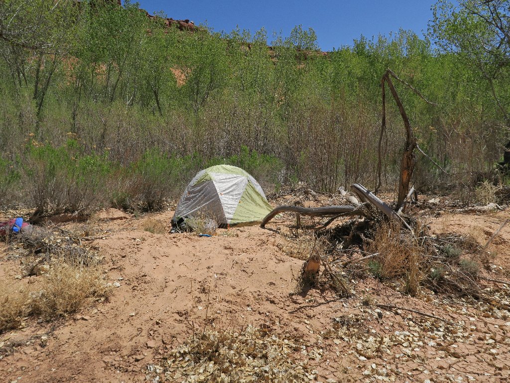
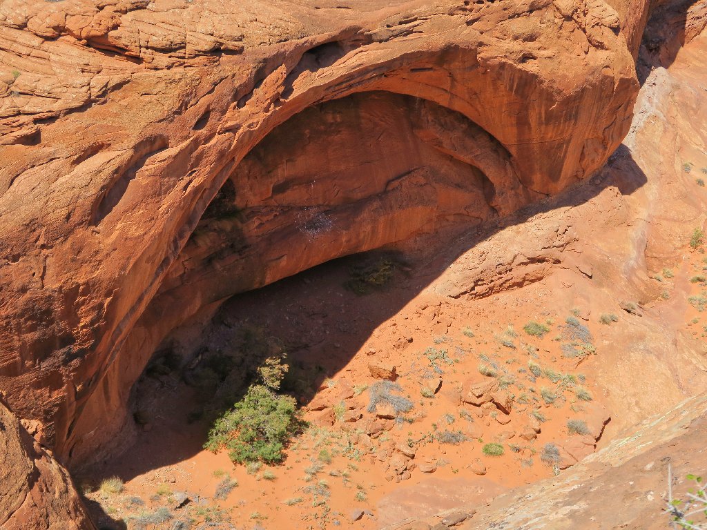
Nobody is home at the moment
There it is — my ticket out of here
Nifty passage
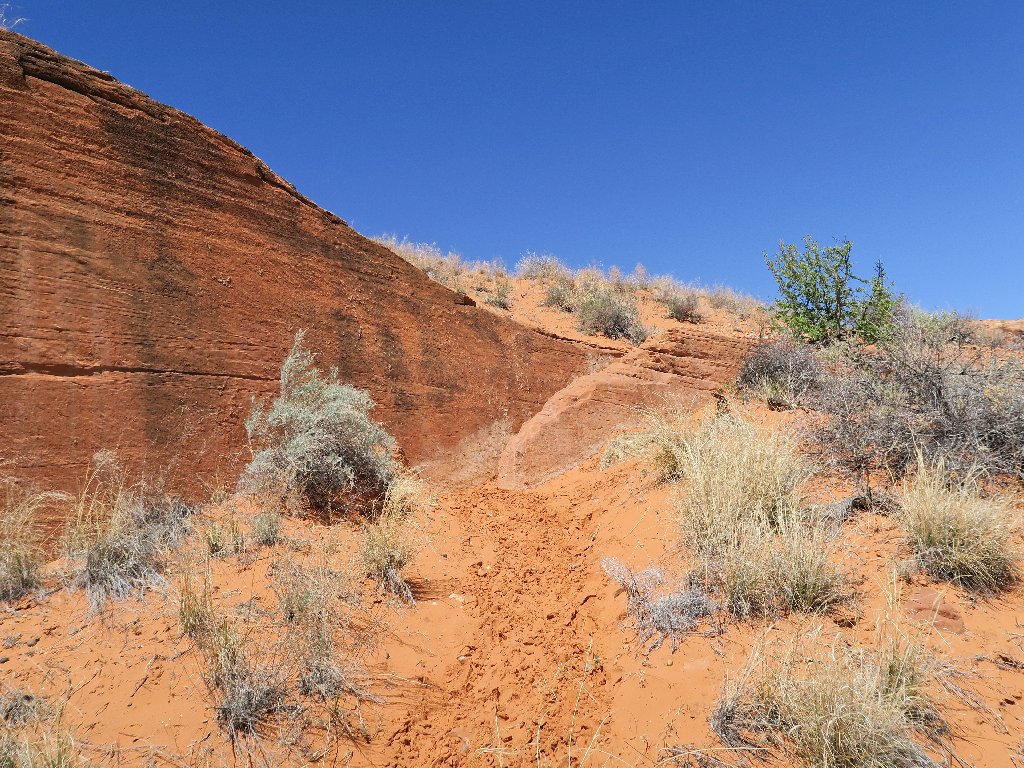
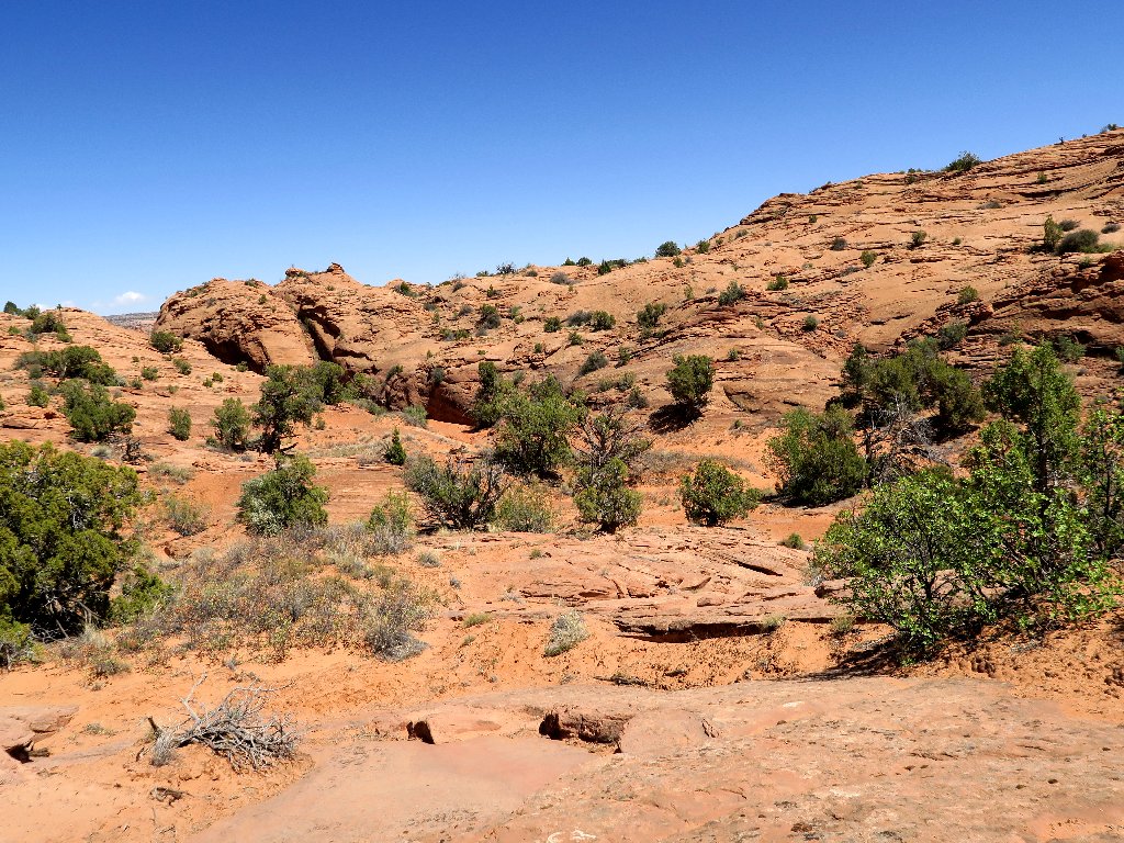
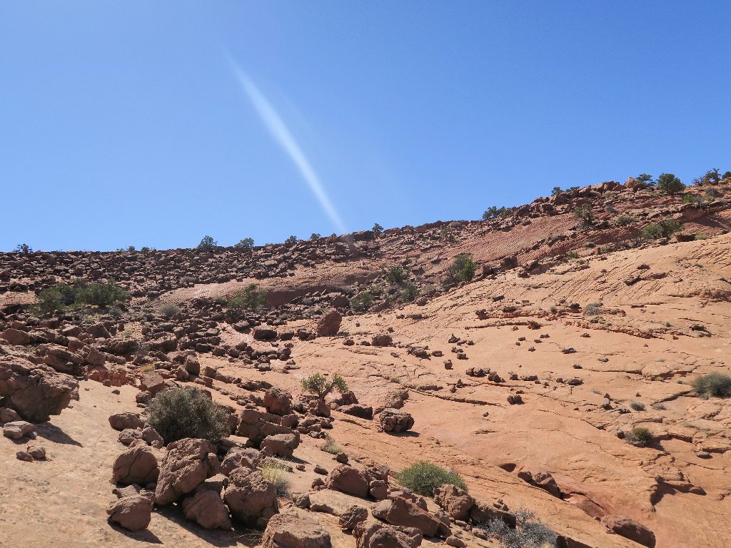
Climbing in the deep sand is predictably enervating. On the bright side, the elevation gain had to be incurred sometime.
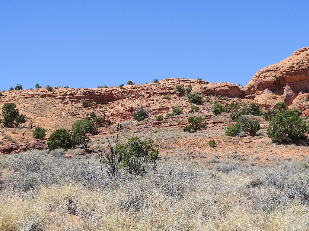
The trail leads straight up to that rock wall
More steep going, more deep sand. A bit of hands-on scrambling is
required at the top of this thing. Then I promptly commit Idiocy #7:
I trip on a rock and twist both ankles. This double-whammy is a
first for me, yet it proves to be but a momentary setback.
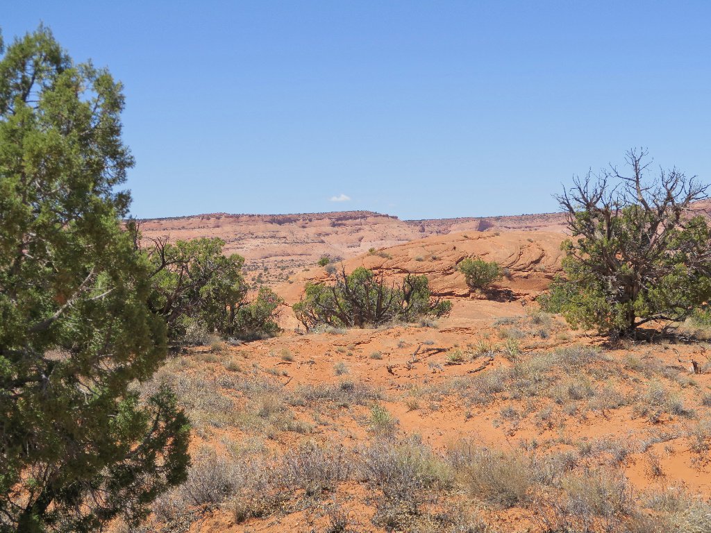
Looking back
Well, now that that is done, I can concentrate on merely traipsing across
the desert to the final pitch, right? I hope so, for half of my remaining
water already has been consumed. Also, reaching into my pants pocket reveals
Idiocy #8: I don't have my Chapstick with me! Horrors.
I never am without that stuff, and I could use some right about now.
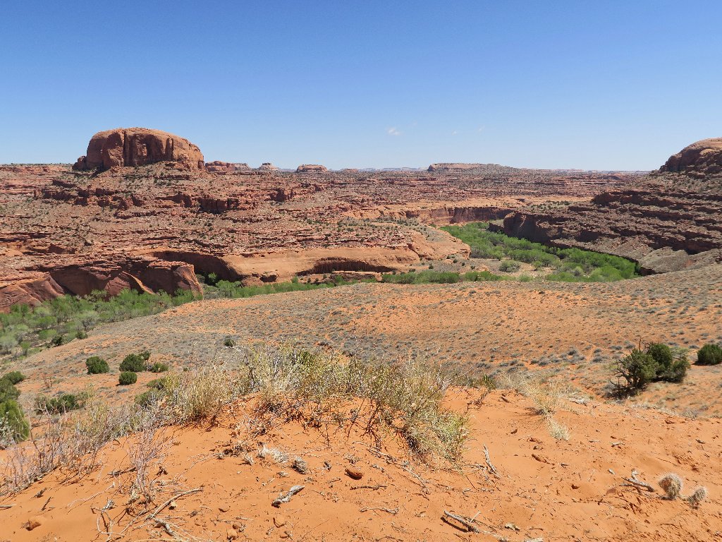
Looking ahead
This is a good time to find a new resting spot for half a dozen Moqui Marbles that were improperly taken from this area four years ago. That makes me feel a bit better, and 'nuff said about that.
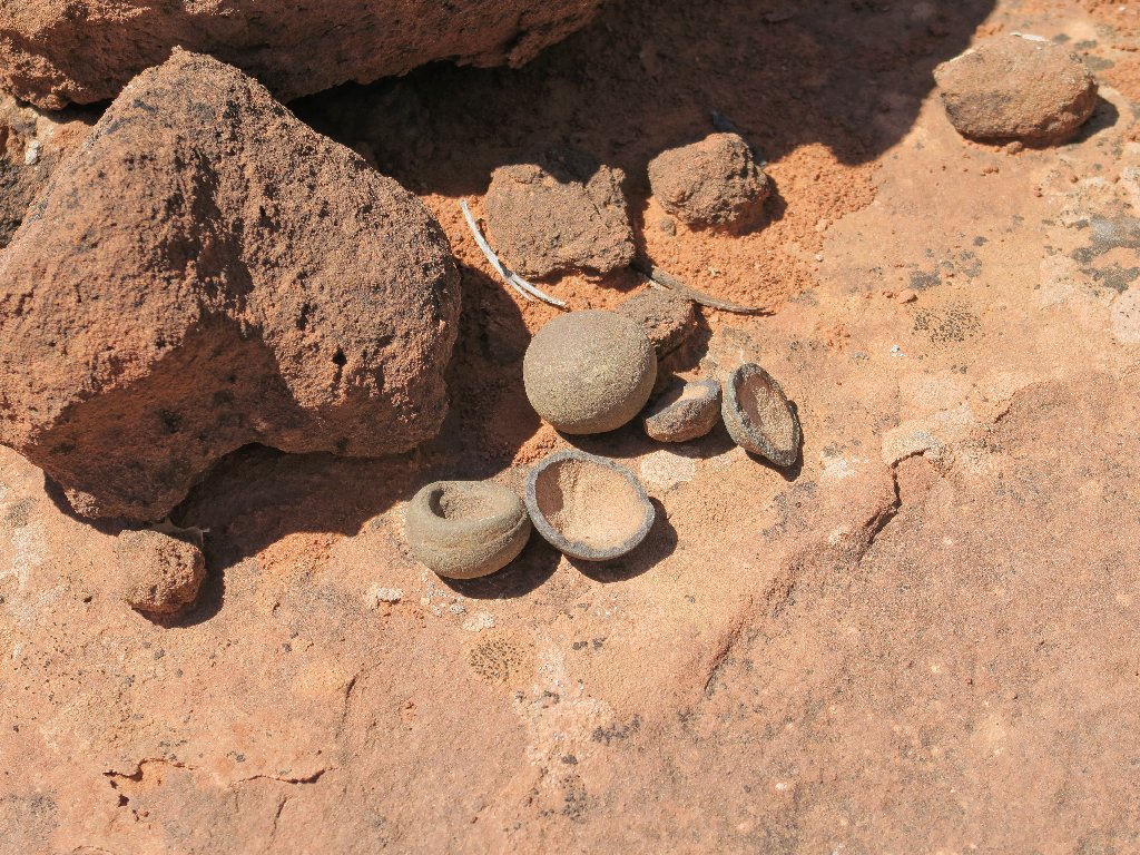
These Moqui Marbles have a new home
Now the routine is to walk a little bit, then find a shady bush to crawl under so as to take a sip of water. This is done half a dozen times. A virtually level route was available; but I have veered over toward the right, to the edge of Fence Canyon.
The main trail is on the other side
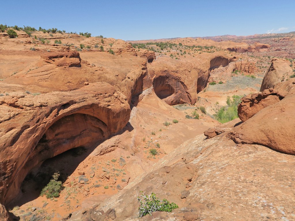
These additional photo-ops are nice, but at the cost of a couple hundred feet of additional ups and downs.
An interesting future arch
Much of this roller-coaster route could have been avoided
At the upper terminus of Fence Canyon, there are plenty of bootprints leading downward. Perhaps this is the "early access" route that the blogger had been trying to discourage.
Pointing the way back
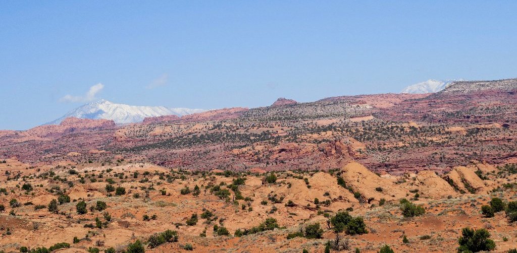
The distant Henry Mountains are the last range in the country to be named
This lone Whipple's Fishhook Cactus is delightful
All right! I have reached the bottom of the big slab. My car is only a quarter of a mile away, but wait. I have just two swallows of water left, and the remaining climb isn't going to be so easy.
Not paying sufficient attention, I blindly follow some big cairns over toward the left, being too weary to concentrate on much else.
The wrong way out
This proves to be yet another mistake (Idiocy #9), as I
find myself now scrambling up through some talus boulders when I could have
been on a nice smooth slab. If there's one thing worse than negotiating
talus, it's clambering through talus when one is exhausted and thirsty.
Just a few yards from the top now, the water is long gone, and I still must rest
some and lift my legs up onto big boulders with my hands. Somehow, my arms
still are functioning properly.
Eventually, of course, success is achieved. Once atop the hill, I stop again
and gaze at my car that is about two hundred feet away — so near,
yet so far.
When I finally do open the car door, I am apprised of Idiocy #10:
a big bag of gorp sitting right in front of me, and right where I had
stashed it, too. Omigod. Inexplicably, however, the ice-cold
soft drink that I had carefully arranged also is right where I had put it.
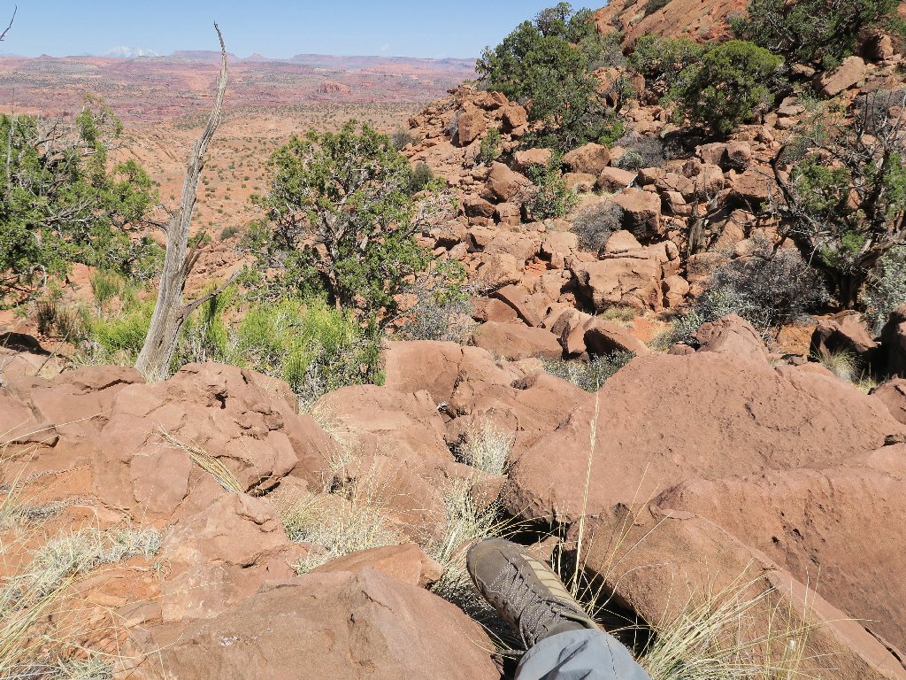
Resting in the talus for the umpteenth time, I had better tie that boot lace
§: What a remarkable day! I certainly am not about to let my
lack of preparedness affect the hike's ratings; for this was one of my most
amazing and diverse walks ever, and in retrospect it was one of the most rewarding
as well. The Golden Cathedral is a truly one-of-a-kind place, and a
visit there is worth any effort. This hike had been at the top of my bucket
list for good reason.
For those interested in the loop option, I recommend doing it in
counter-clockwise fashion. Once off Egypt Bench, start by heading
directly for Neon Dome by the easiest available route. That way, the
400-foot hill of deep sand beside the river would be negotiated in the
downhill direction (much better), and the more scenic Fence Canyon route would
be saved for last.
As for yourselves, however, I implore you not to plan activities anywhere in this park during hot weather. I know that many hikers do so anyway; yet for the life of me, I cannot see why they would choose to incur such unnecessary suffering, no matter how much water they might be carrying. There are so many better places to hike in the summertime. Come here in April or October for some of the best walks of your life.
| Overall Scenery |  |
| Destination |  |
| Difficulty |  |
| Personality | |
| Adventure |  |
| Flowers |  |

ADDENDUM
Had I packed some sustenance and carried enough water, the final pitch
surely would not have been much of a challenge. 1,400 feet of climbing
ordinarily is no big deal, and the air temperature was only 71 degrees
at the finish. It took a combination of no food, no water, steep climbs
in deep sand, and finally a talus jumble to wear me down.
One needs to understand that a ten-mile trek in the desert simply
isn't the same as a ten-mile hike in the mountains. The rules are
different. Obviously, my judgment today was poor; but did I ever consider
that I might be in any real trouble? No. The finish-line was
too close, and it wasn't even hot. Getting it done was just a matter of time.
I also am happy to report that the Golden Cathedral waypoint I had obtained
from some website was incorrect, and that my trusty Foretrex-401 had not
misled me in the canyon.
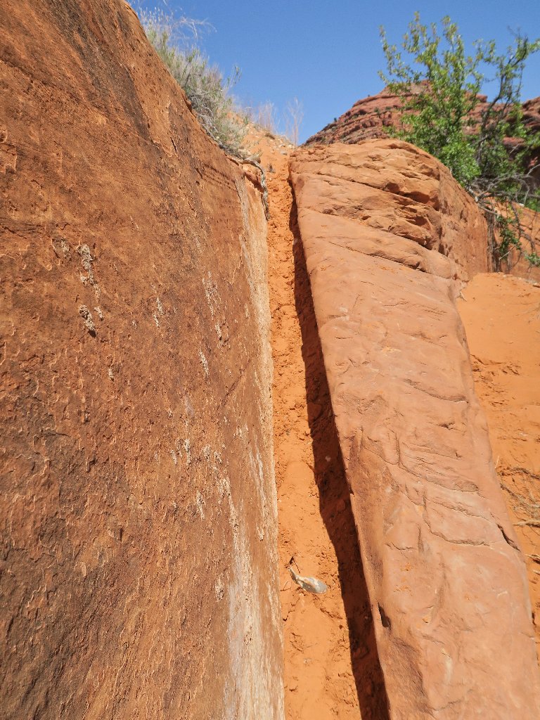
This obstacle was handled without much ado
My odyssey didn't end with the hike, either. When I later ordered a
Subway sandwich and the clerk asked what kind of 'dressing' I wanted:
Idiocy #11: I didn't even request mustard and mayo, both of
which automatically go on any sandwich of mine. Perhaps dehydration can
be blamed for that one, but not the others. Eating a bland, dry sandwich
in the motel room served as a reminder of the unusual nature of this day.

ABOUT PACKS
Yes, I had researched my choices extensively. Lumbar packs, however,
are not all that popular; so the stores don't stock them, and I was able to get
my hands on just one model prior to a purchase. I was unable to find anything
online that has rigid pockets for water bottles such as the ones on my beloved
(out-of-print) Ultimate pack.
It's almost a crime that more effort would be put into creating a
smartphone-compatible pocket than in adding enough material so as to
properly accommodate a water bottle of decent size. The apparent mindset
is to treat water storage as an elective activity; yet had one of the company's
product-testers accompanied me on today's trek, he would have learned
otherwise. Shame on Mountainsmith for not offering a lumbar pack that
is more useful to a real hiker. That's seventy dollars down the drain,
because in order to save a few bucks I didn't purchase it at REI, where
I could have returned it. That's Idiocy #12.
