Grand Staircase-Escalante
National Monument, Utah
|
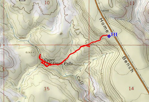
Upper Calf Creek Falls Grand Staircase-Escalante National Monument, Utah |
April 19, 2018
After checking into my room in Escalante, plenty of time remains in the day for a shorter walk. Just twenty miles to the north is one that has been on my bucket list for quite a while.
Beginning about nine miles north of town is one of the most spectacular stretches of road in the country. After passing the trailhead to the highly popular Lower Calf Creek Falls, I get to traverse the famous 'Hogback,' where high, steep dropoffs line both sides of the roadway. What fun!
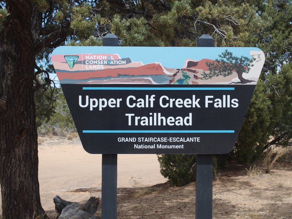
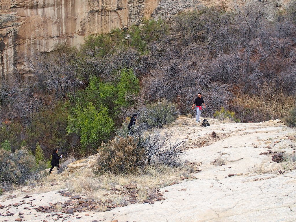
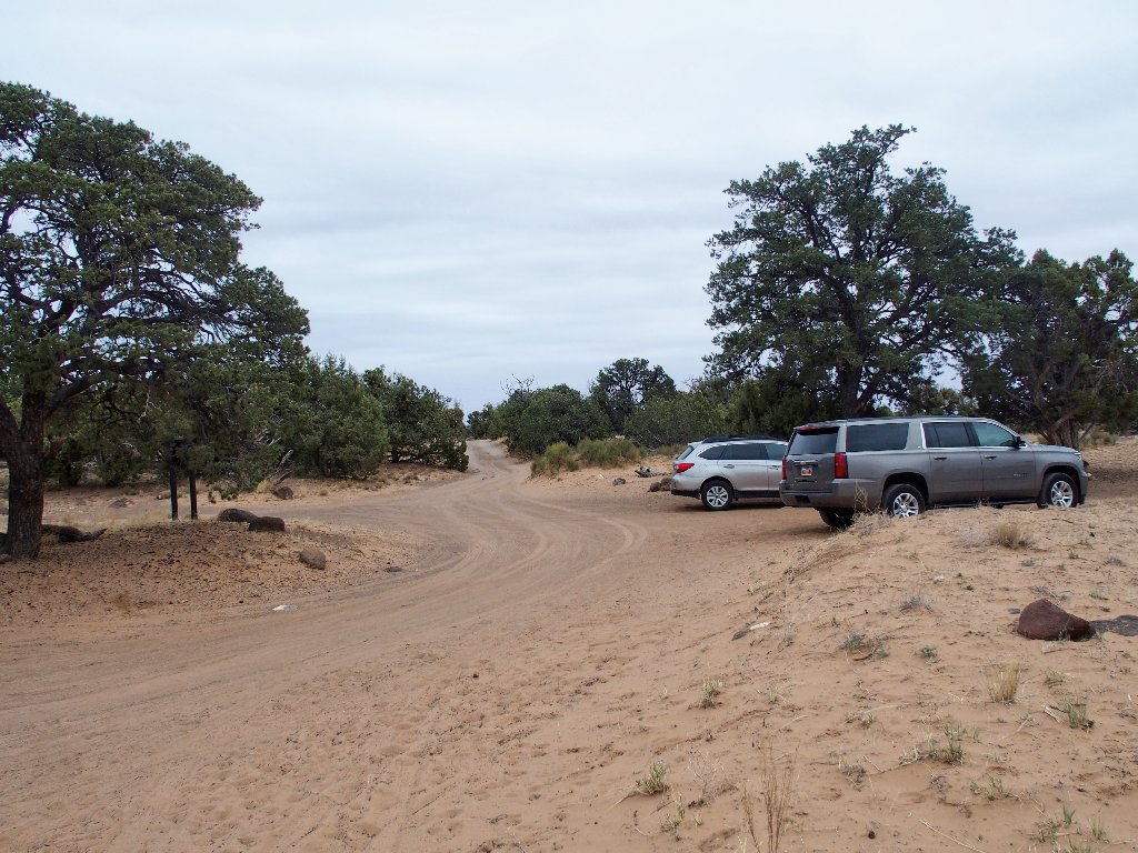
Even though there are no highway indicators to suggest a turnoff, the trailhead itself sports a nice signpost. Go figure. One vehicle is leaving as I arrive, and a woman is sitting in another one. Nobody else is here at the moment.
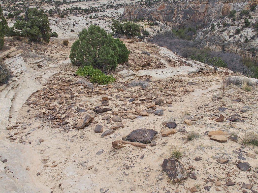
After signing a register and reading the sign telling me to drink a lot of water, I start down a steep slope of solid rock.
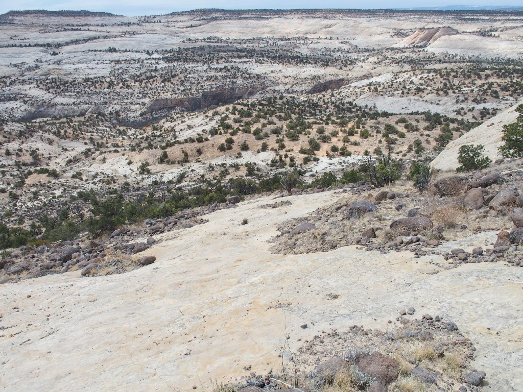
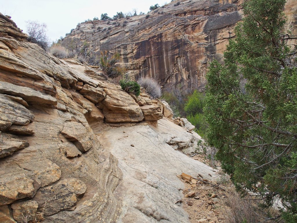
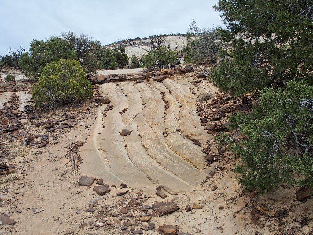
On the slabs
It is totally overcast, but I have come to expect that in Utah in April. Tomorrow's projected rainstorm isn't helping the weather situation, however.
Following the trail is easy enough
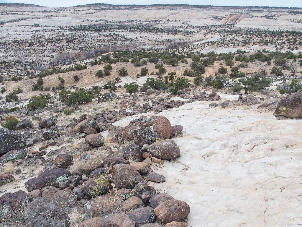
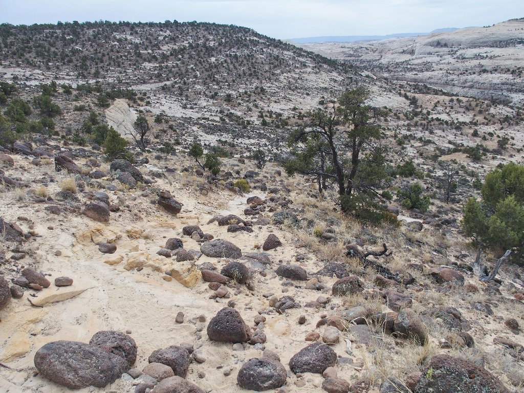
I can see the route in the sand below
In many places where the rock is not naturally exposed, trail workers have cleared away several inches of sand, presumably in order to create a safer passage. Well done, guys.
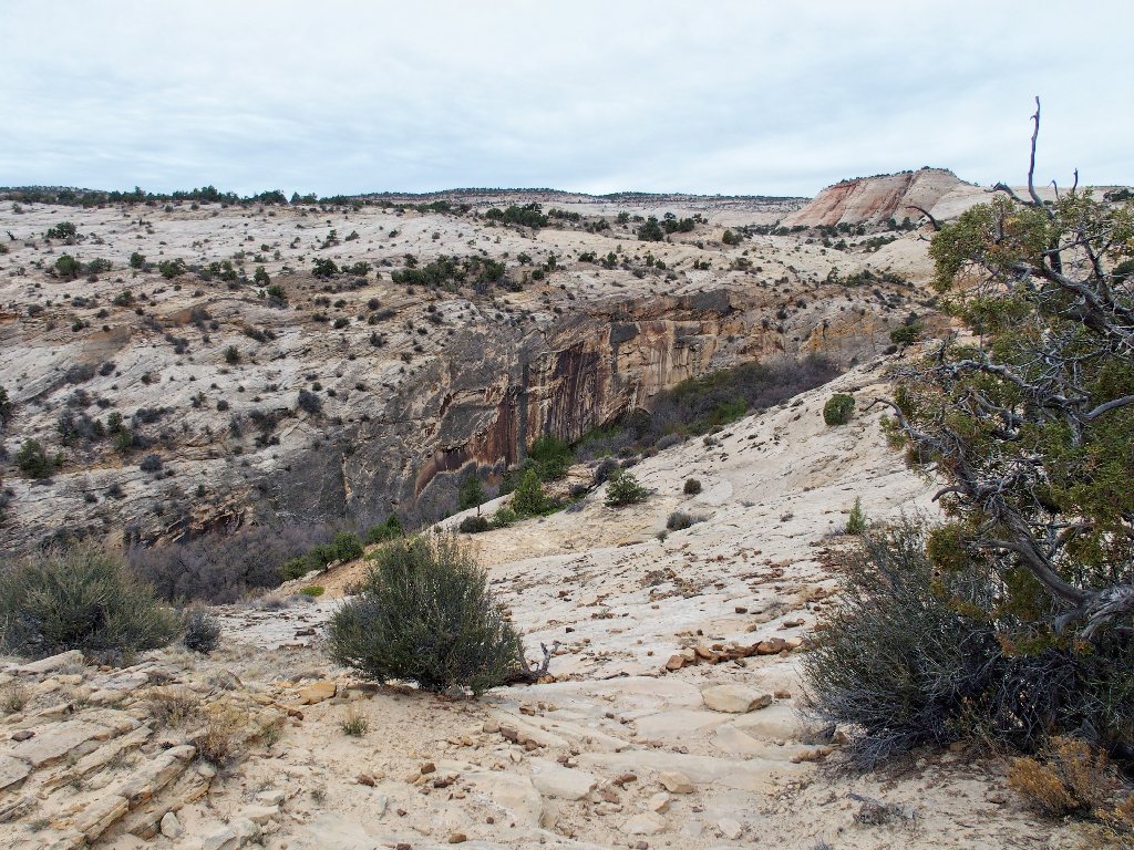
Approaching the gorge
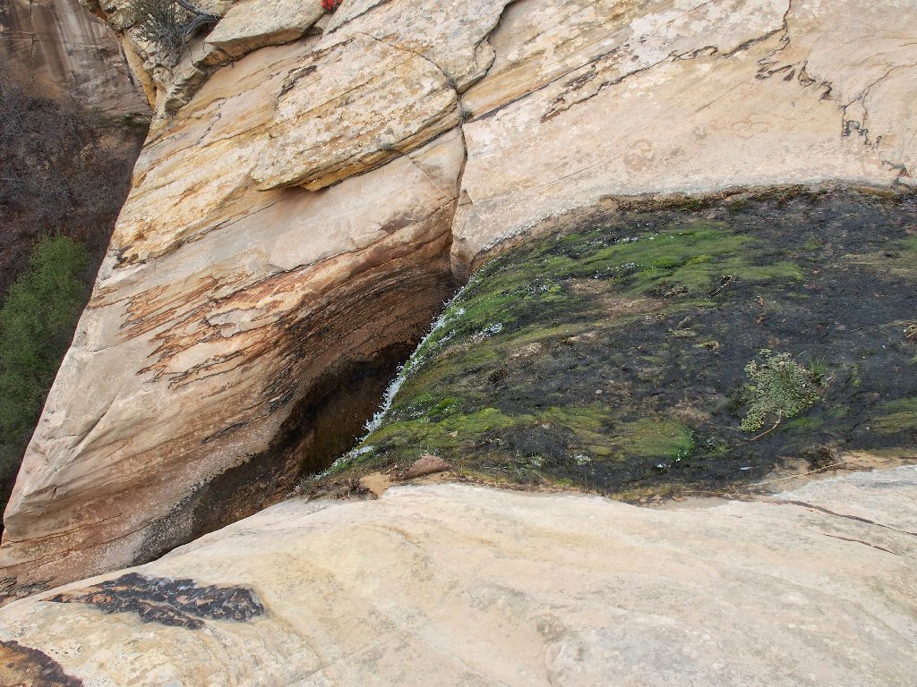
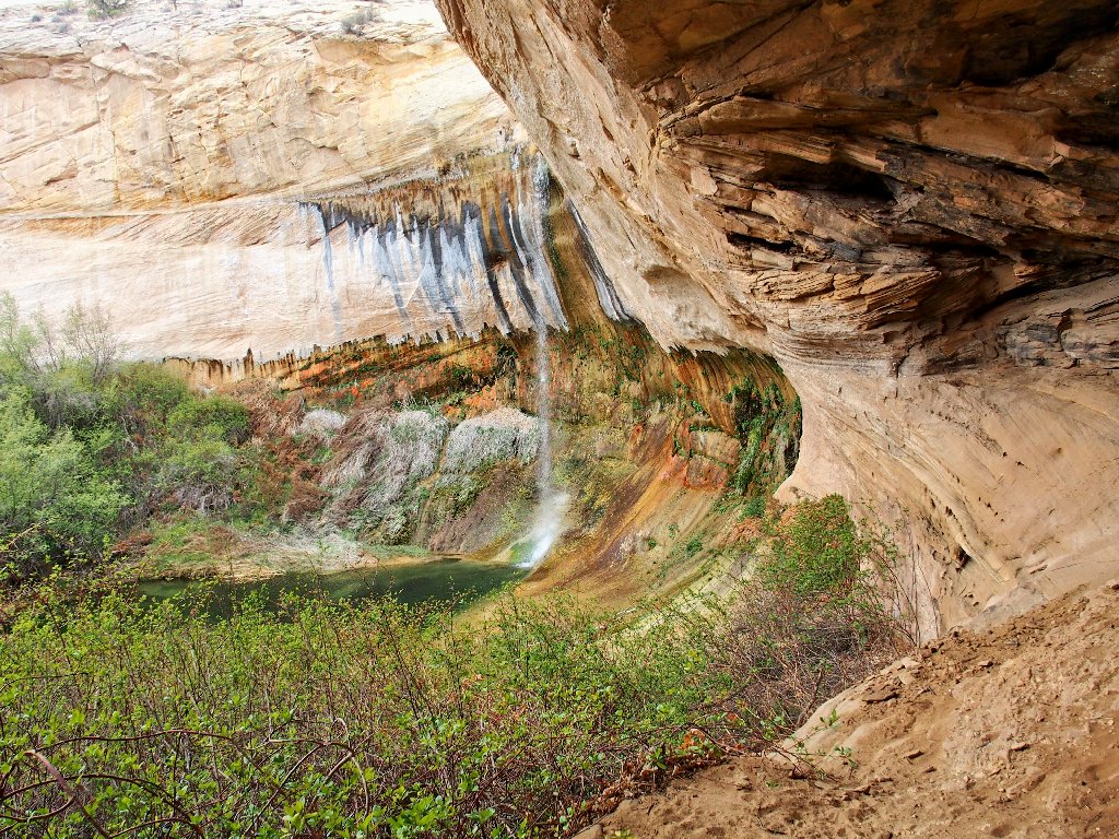
As I reach the edge of the canyon, a big cave comes into view across the way.
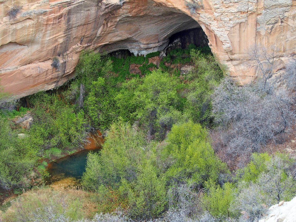
Fascinating, yet difficult to access
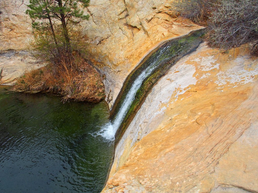
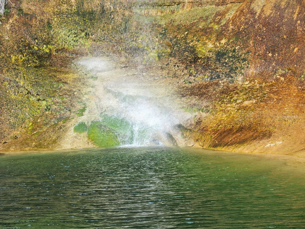
Shortly farther ahead is the principal attraction.
First view of the falls
That configuration does not resemble anything I can remember having seen on the Internet. This waterfall is quite a bit taller than what I had expected.
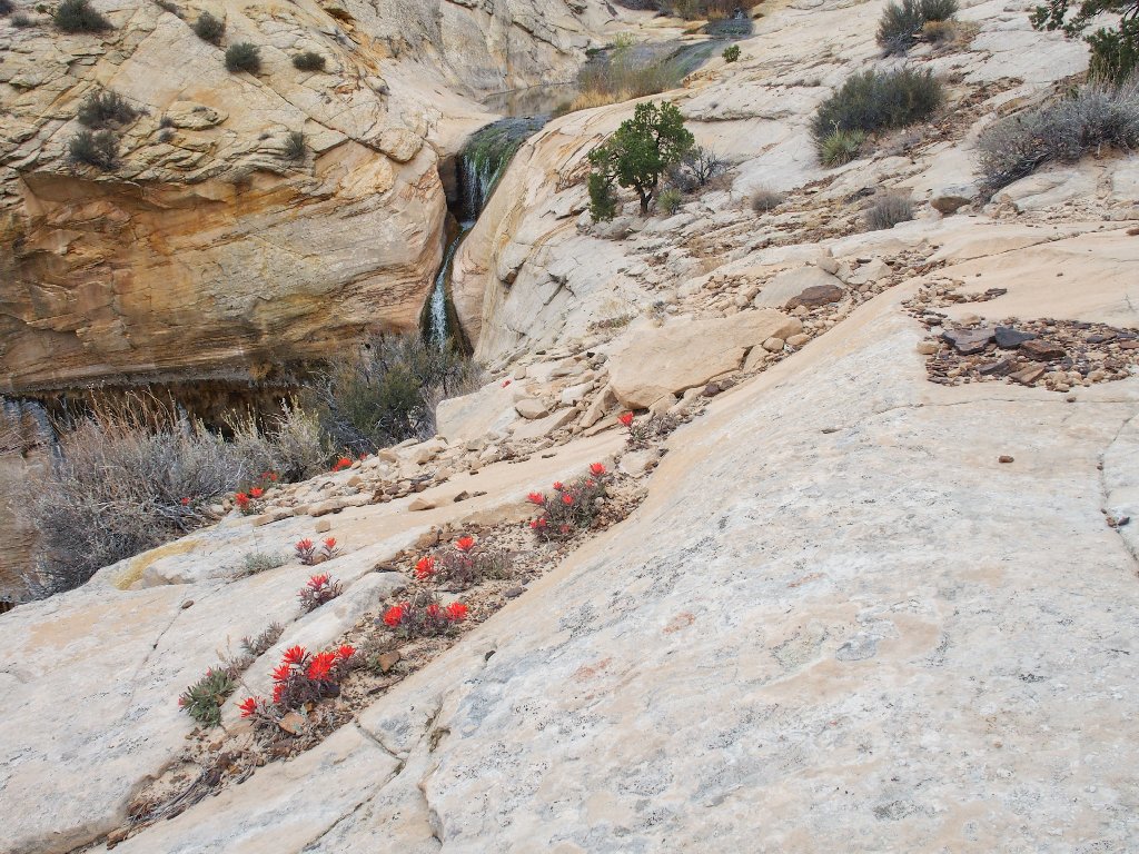
At the brink
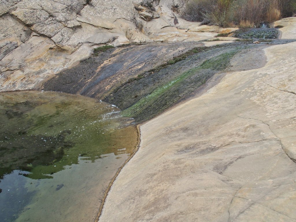
Pools just above the brink of the falls
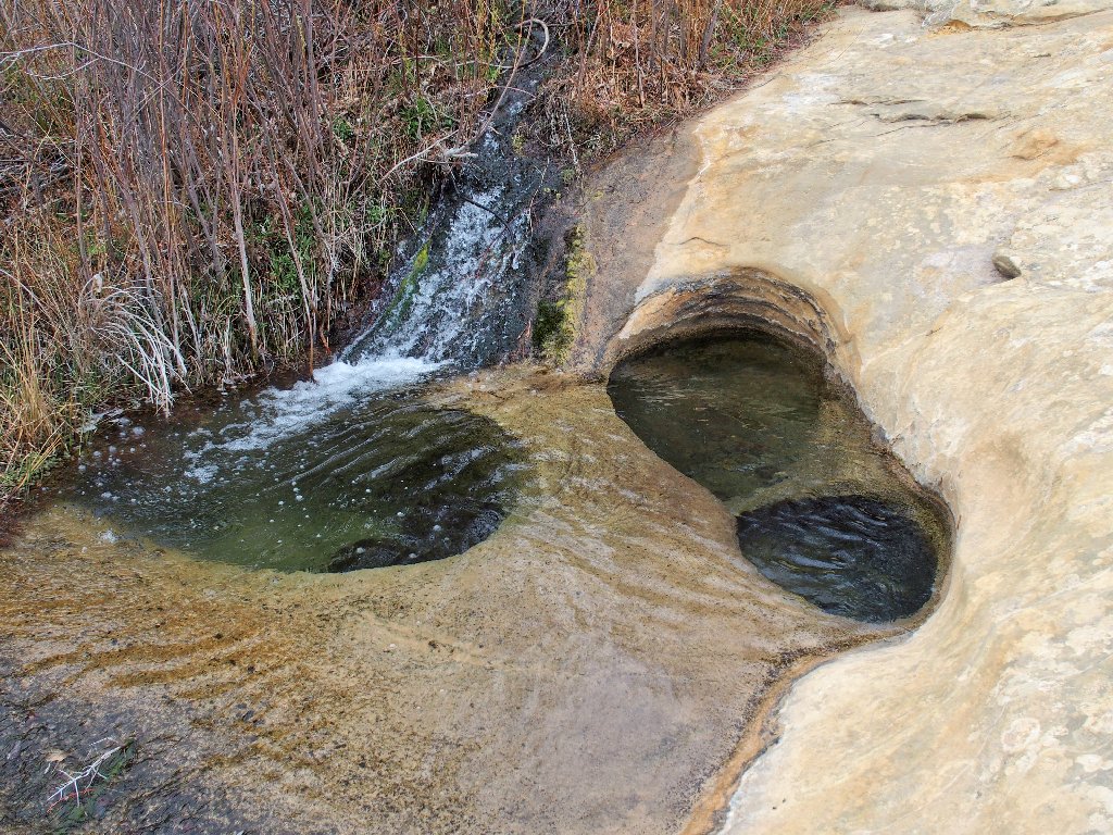
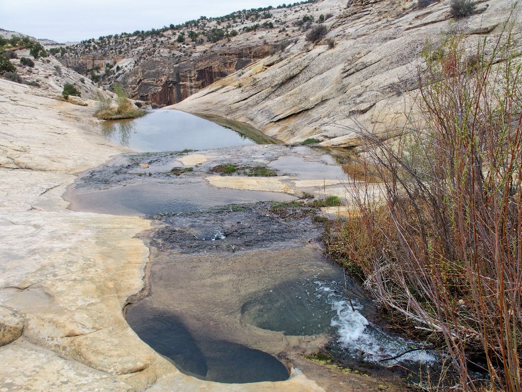
Naturally, I must explore upstream. Partially hidden behind a row of tall bushes is a real treat.
The uppermost falls
Side view
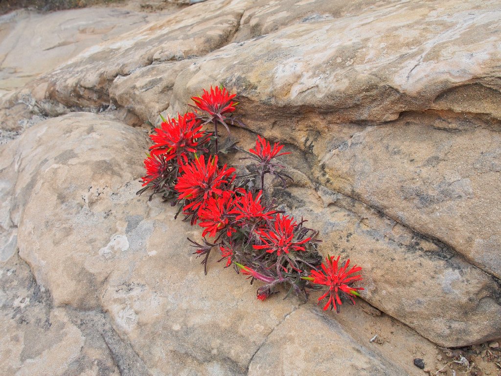
Northwest Indian Paintbrush is the only flower in evidence
Above the falls is a great signpost:
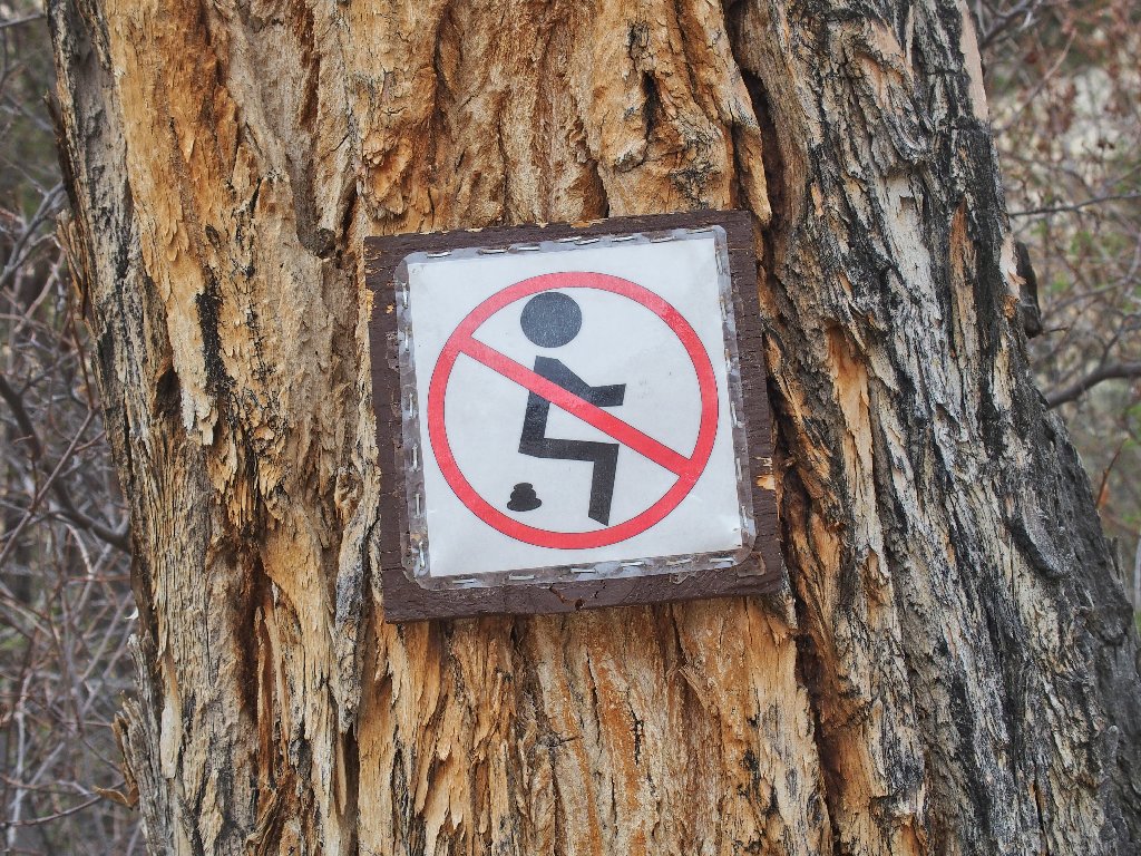
This sort of welcome candor is rare in the up-tight United States
Beyond this point there is no hint of a trail, and nothing of interest is visible; so I turn around. Besides, there is much more to do down below.
Back near the brink
Now it's time to find the trail to the canyon bottom. Watching carefully for markers, I do find an obscure spur heading downward.
This junction went unnoticed on the way in
Negotiating the route entails some hands-on care in one place, but the
rest is easy. Presently I enter an alcove from which there is a
side-view of coming attractions.
I had no idea
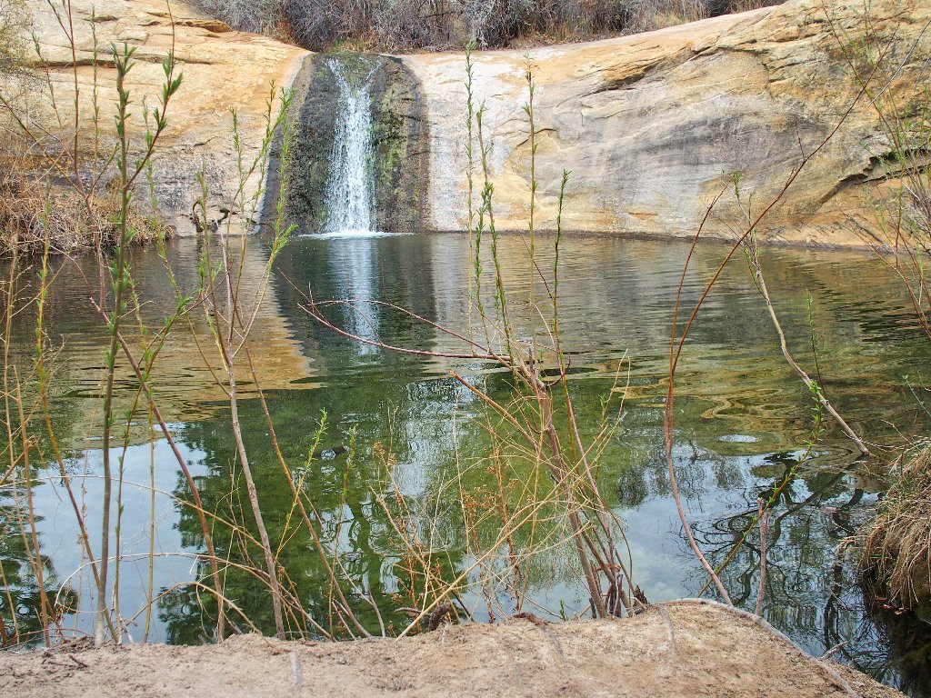
Just a few more yards down a slope of soft sand is a stunningly beautiful scene. Oh, my!
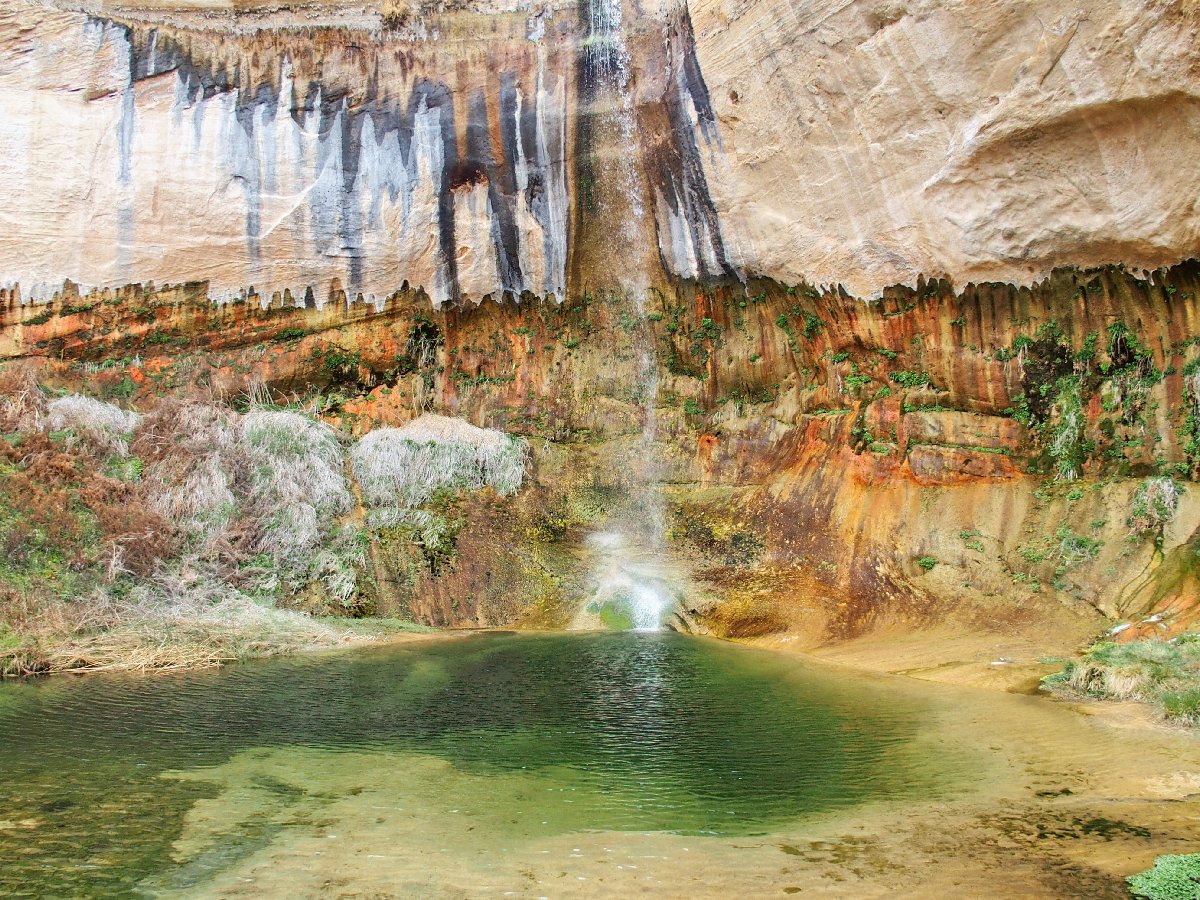
This is why I go hiking
This view alone is worth the drive across the Great Basin. While sitting here, I have cause to reconsider my prior suggestion that the other Calf Creek Falls might be the prettiest place in Utah.
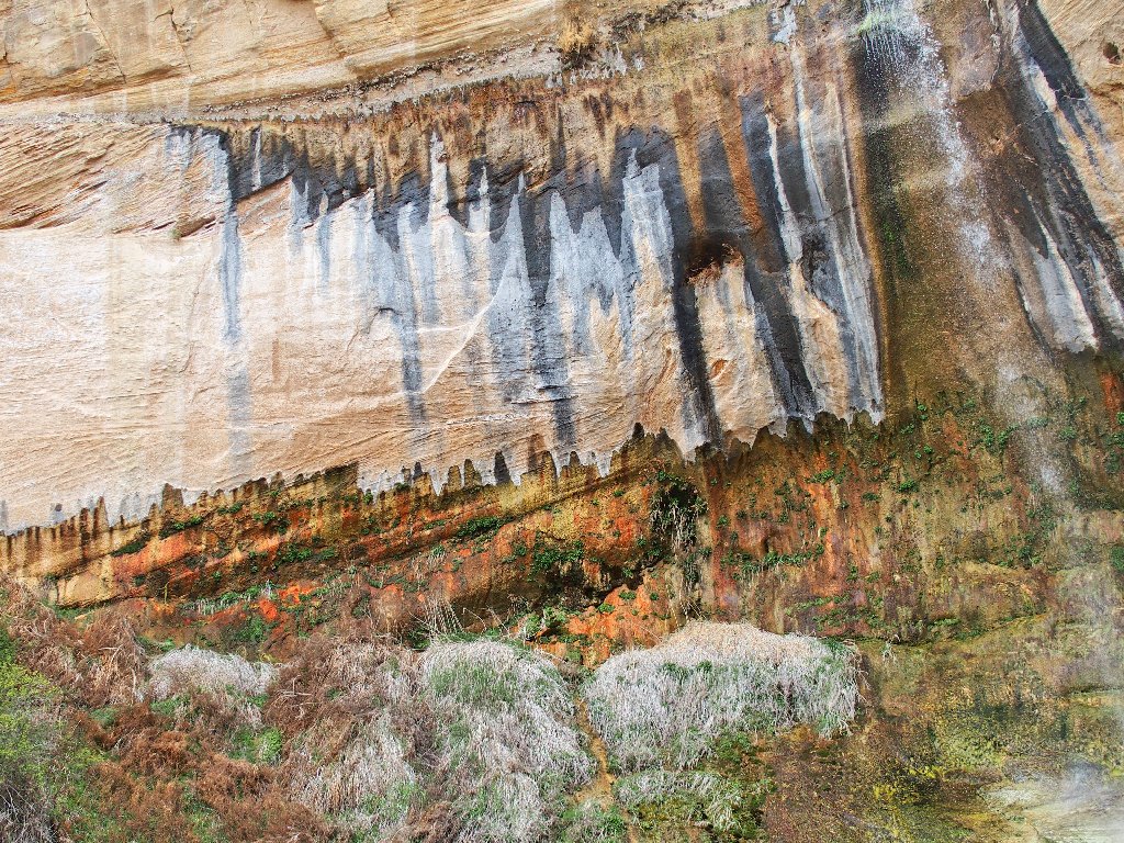
The most interesting cliff face ever
The base of the falls
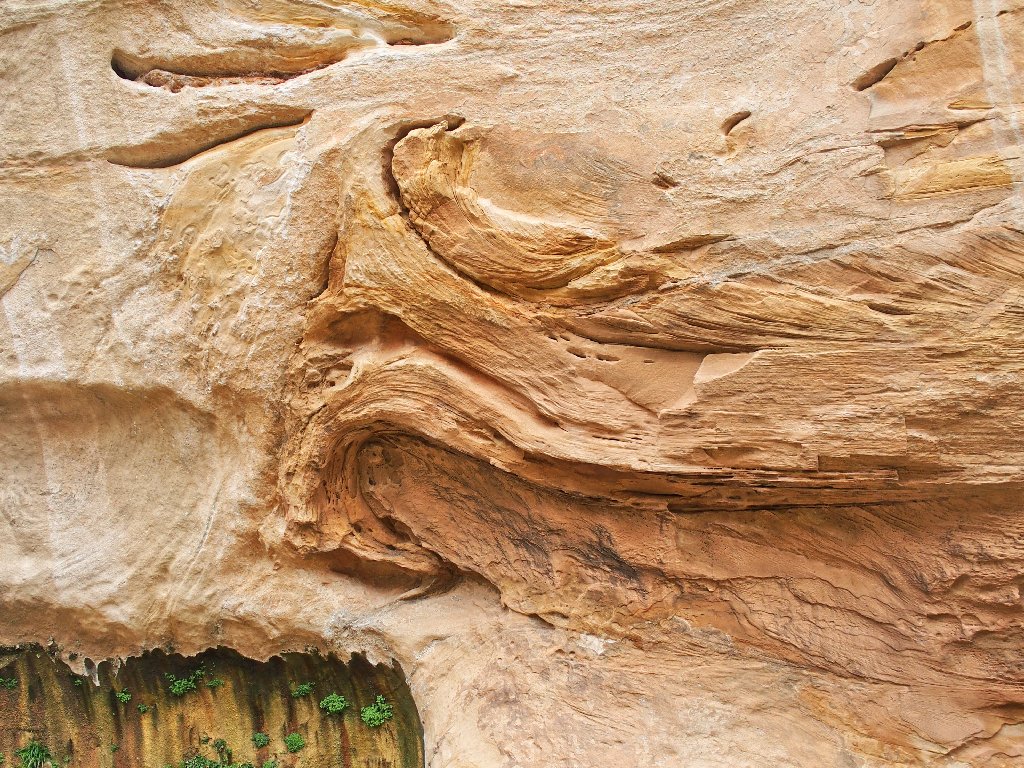
More cliff art
It's time to head back.
Tricky passage
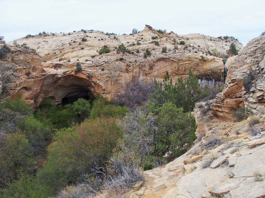
Viewing the cave and falls together
An old man approaches from a downstream direction. He and his four companions definitely took a wrong turn somewhere.
They will find the falls now
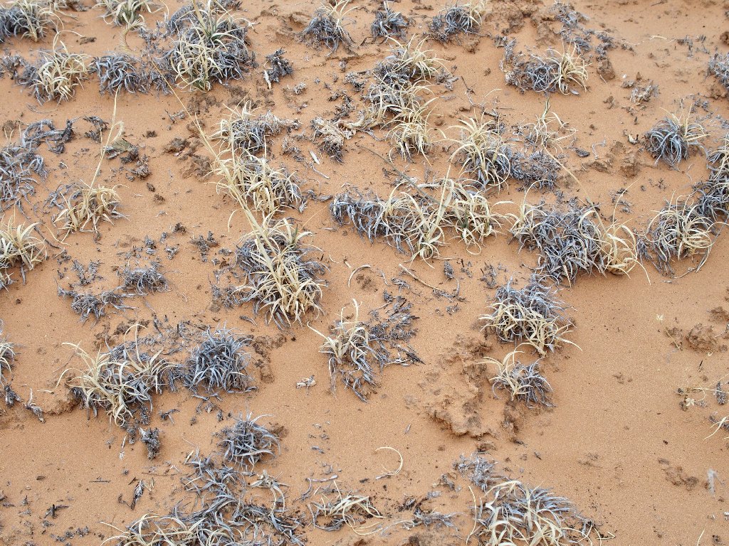
Unusual trail surface
At a rest stop
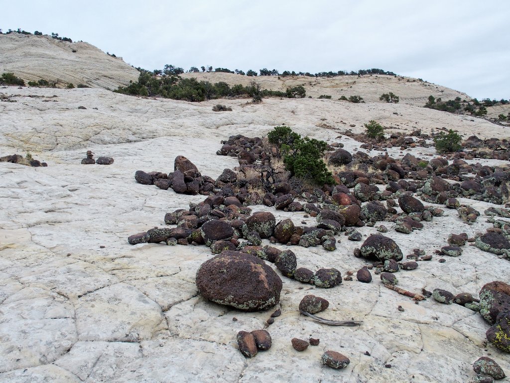
Stark contrast
In fact, I pause to rest half a dozen times before finally getting up the big sandstone slab.
Made it!
§: Well, I certainly got more than what was anticipated today.
Prior views of online photographs didn't begin to tell the story.
Also, traversing on slabs much of the time was a lot of fun.
For best effect, do the route in my sequence, visiting the upper area first. That way, you get to save the best stuff for last, and you'll be glad that you did.
| Scenery |  |
| Difficulty |  |
| Personality |  |
| Flowers |  |