
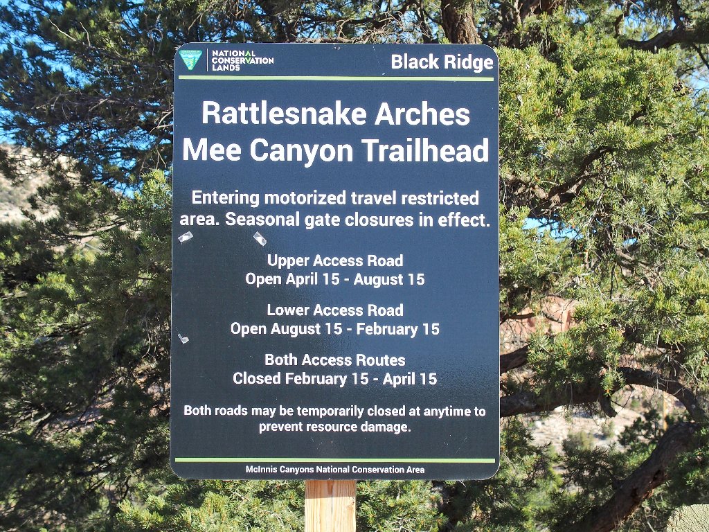
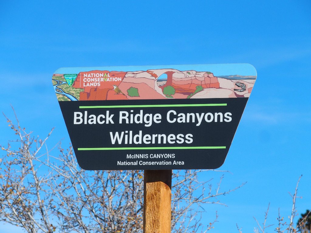
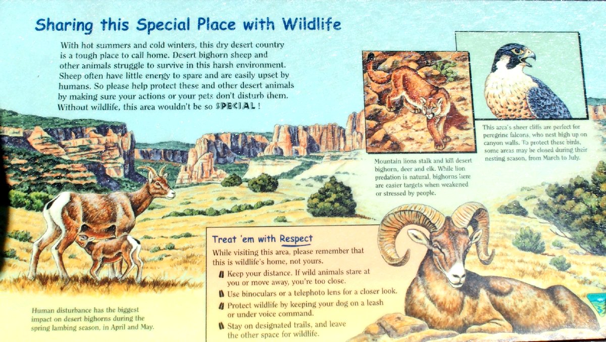
Black Ridge Canyons Wilderness
|
Rattlesnake Arches Black Ridge Canyons Wilderness |
October 17, 2017
On Day-9 of my Fall Bucket List Tour, access to this area is through Colorado National Monument, a highly scenic drive overlooking the city of Grand Junction. Three years ago I ventured over here in April; but because of a recent rainfall, the back roads were impassable, which tends always to be the case in Redrock Land. In fact, when I stepped out of my car at that time, my foot promptly sank several inches into the sticky mud.
Returning in a dry season seemed like a good plan, so here I am today in the country's greatest concentration of arches outside the nearby Arches National Park.
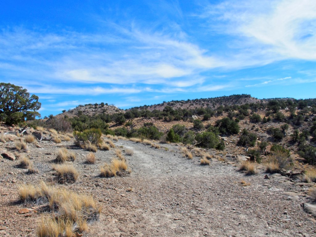
I'll take the lower road
The first eight miles prove easier than online accounts had led me to expect; in fact, I cover the route in no time at all because most any car could have handled it. Then, where the upper and lower roads intersect again, there are several big signposts, one of which warns me of rough going ahead.
This sign is more friendly than the other one
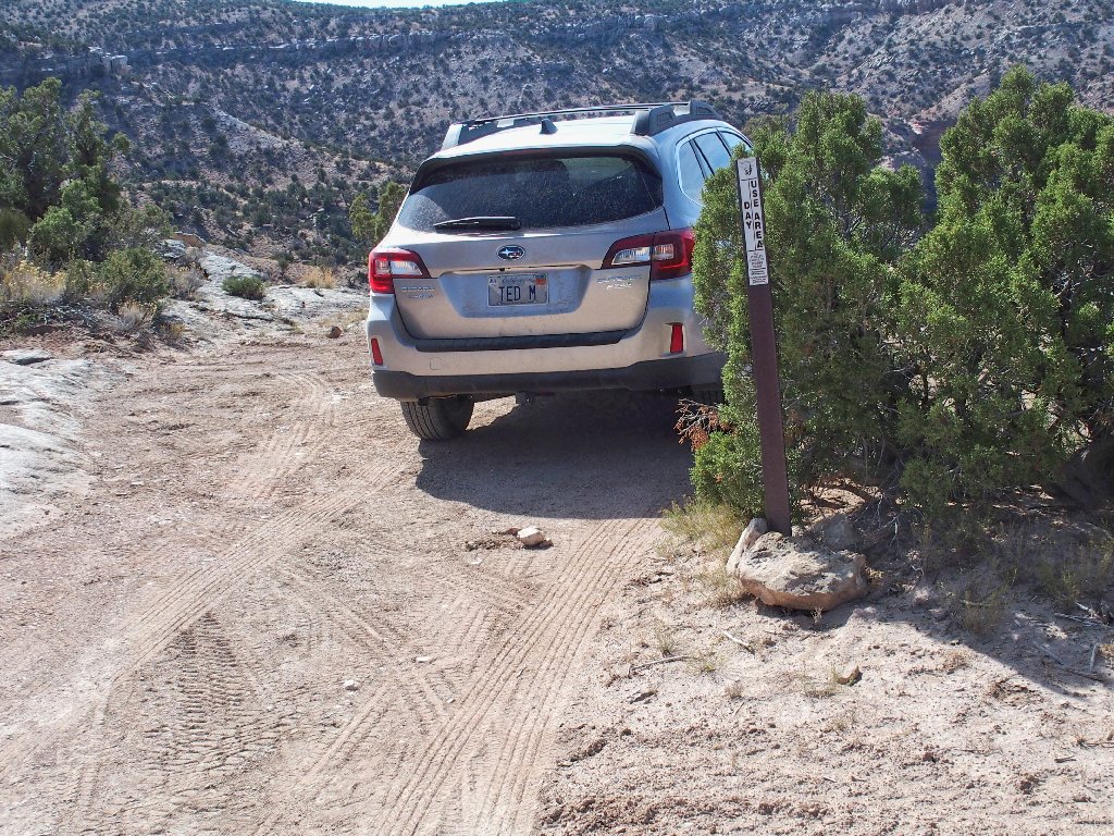
Too bad; I'm going anyway. That's why I purchased another
Outback instead of a more economical but non-offroad-worthy
Prius. The road is indeed quite steep and rough in places,
but nothing I haven't encountered many times before. Then I am
tested in a new manner, because a boulder lying in the middle of the
road might be too much for my ground-clearance, and it is
located such that I cannot arrange to place my wheels over it, either.
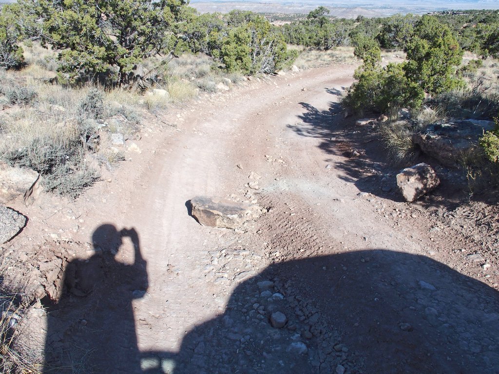
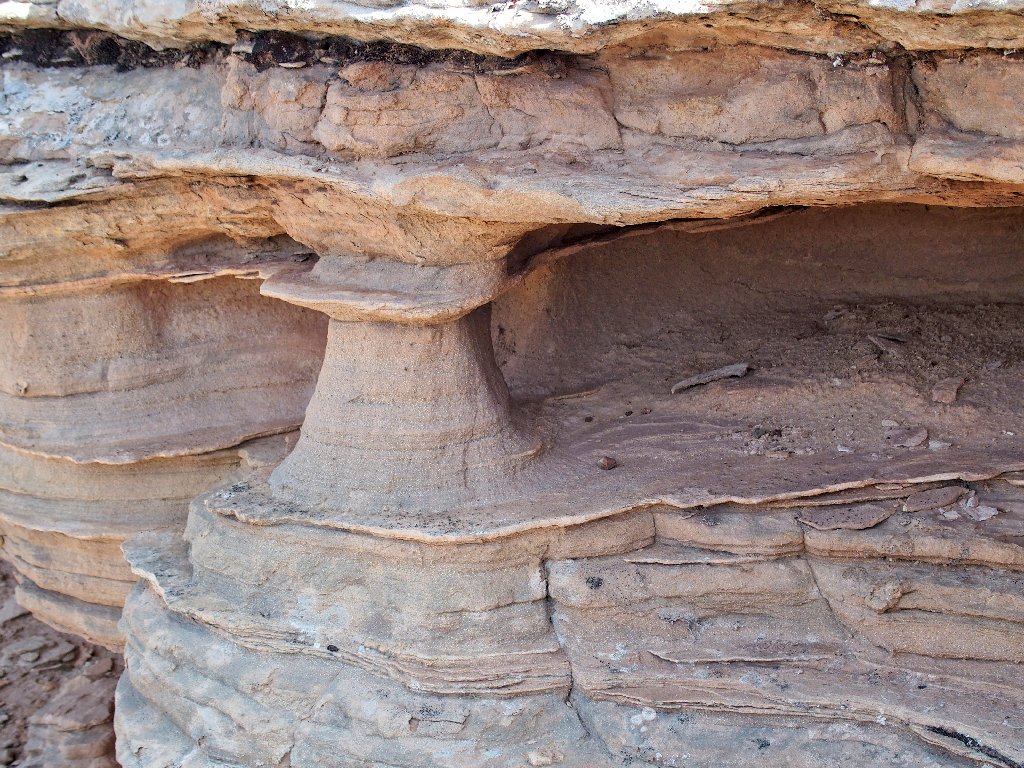
How did that rock get there, anyway?
The best solution is to move the thing if I can, which proves not
to be much of a problem. Rolling it end-over-end to the
side of the road enables me to save four miles of walking.
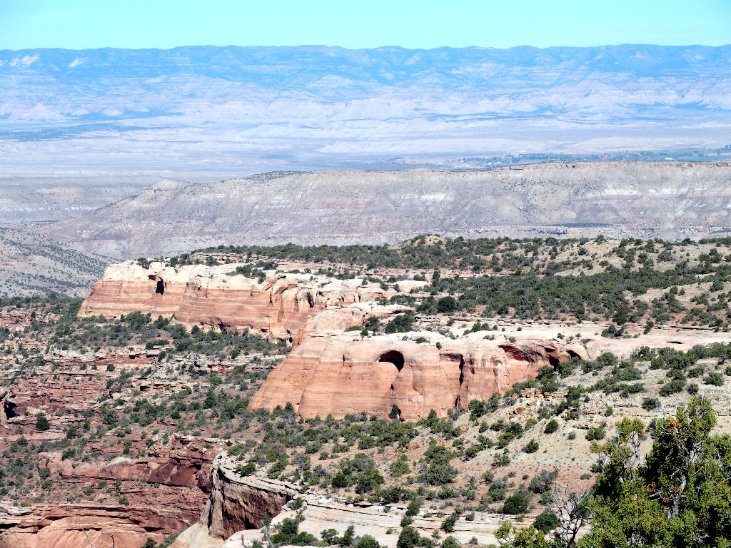
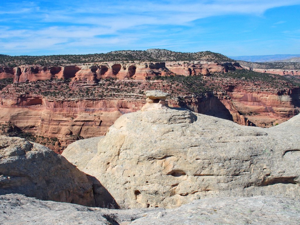
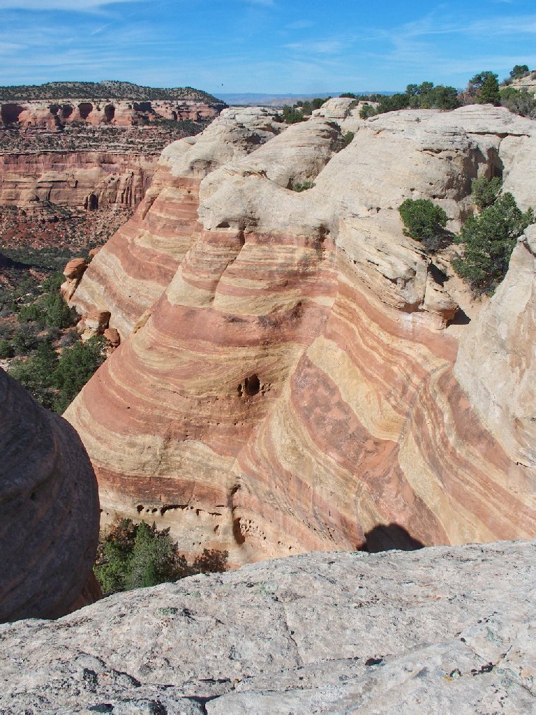
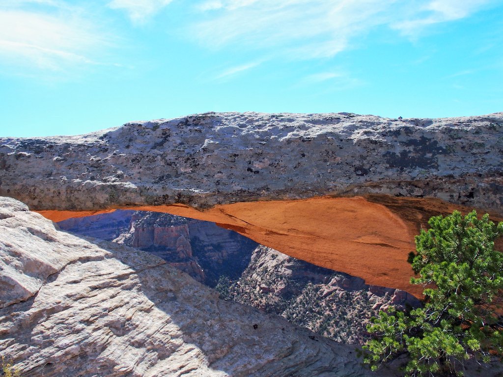
The destination is that orange cliff
The next obstacle is not as easy to deal with, however. Many stones have been placed so as to reduce the size of the bumps. If I were desperate to get through here, I surely could make it; but there is no telling whether I might bang up one or more important objects on my new car.
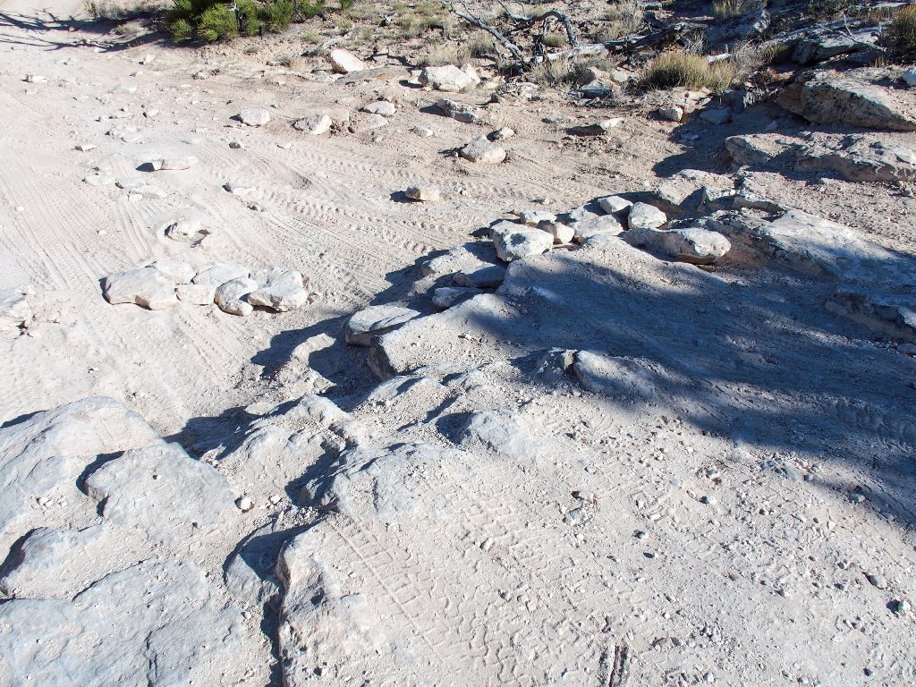
It's not worth the risk of an expensive repair
Fortuitously, I just passed a pullout marked "DAY USE ONLY".
Parking there, I need to walk only four-tenths of a mile
to road's end, which is perfectly fine.
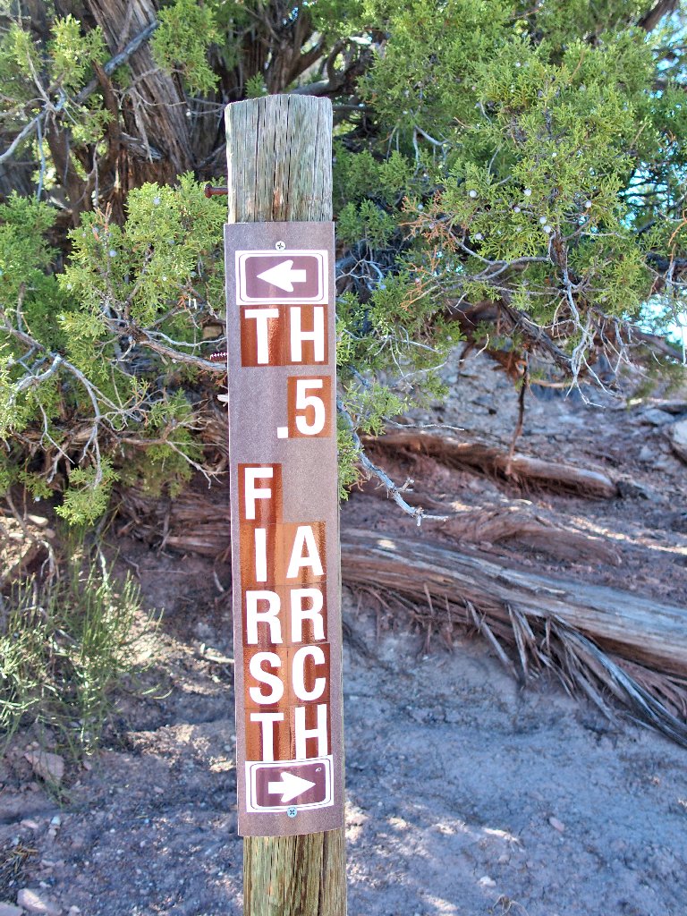
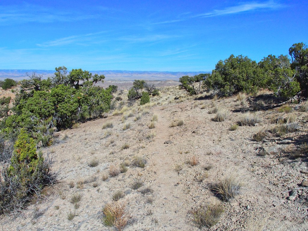
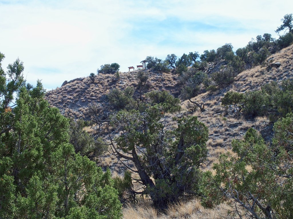
At the trailhead ⇔
I seem not to have brought a map; in fact, I seem not even to have prepared one with GPS waypoints and whatnot as usual, because my National Geographic TOPO4! mapping software does not include Colorado, and I haven't yet worked with any of the new software that I mentioned over at Mount Rainier. Stupid. Oh well, I can pretty much remember the layout anyway, and there will be helpful signposts, right?
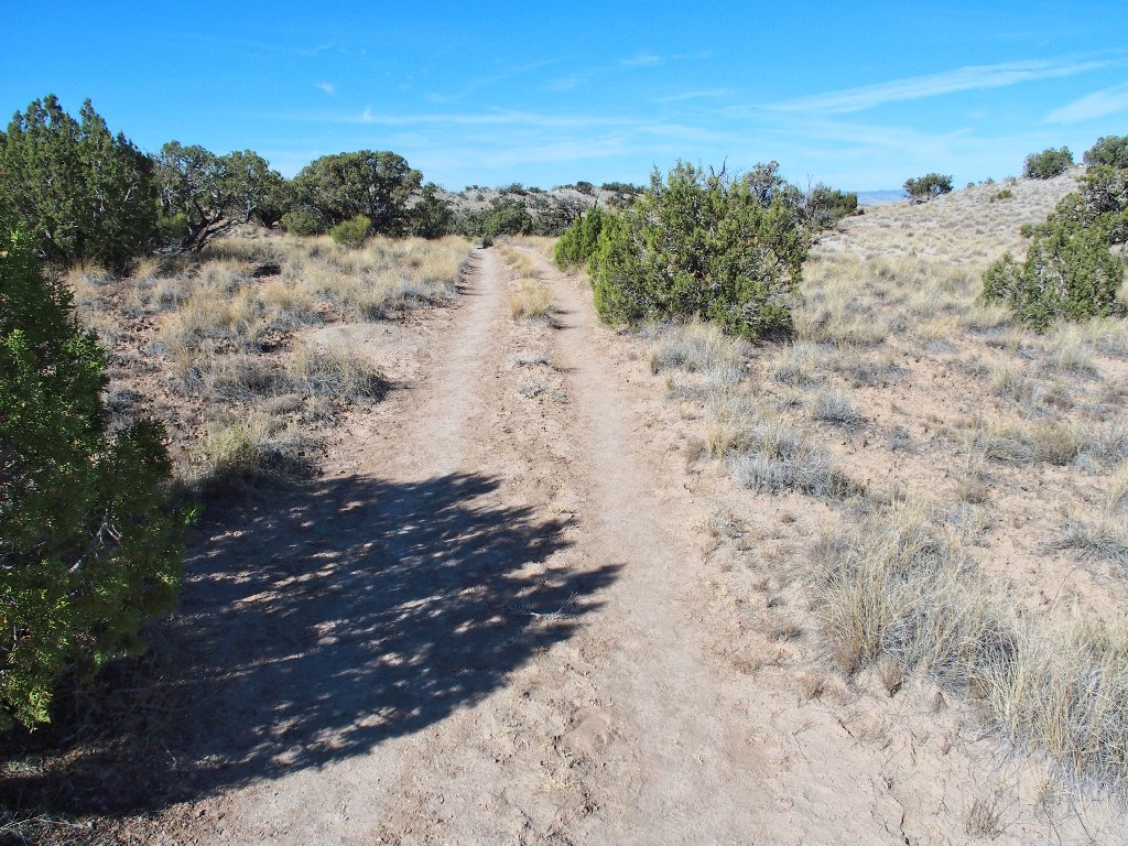
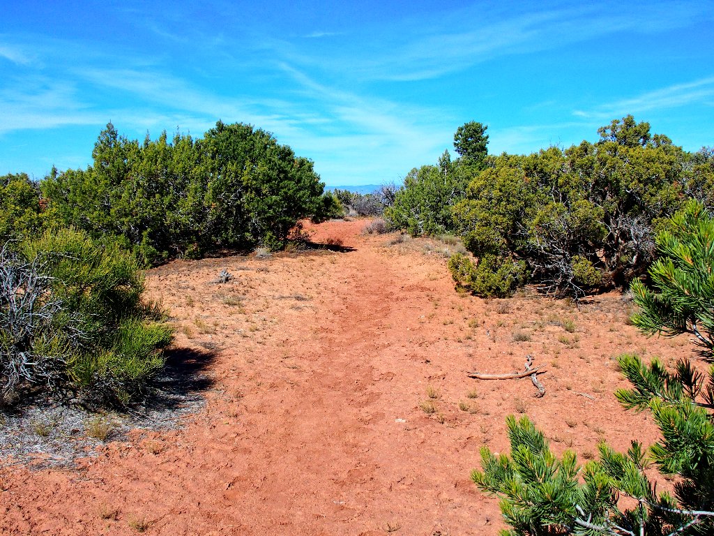
The former roadway is now a dedicated trail
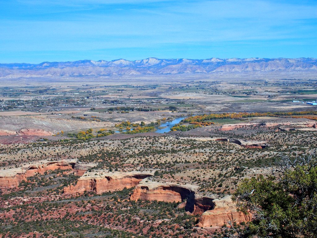
This place is amazingly situated — so near, yet so far from the modern world.
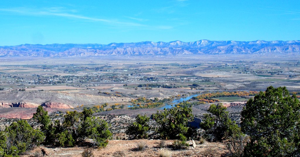
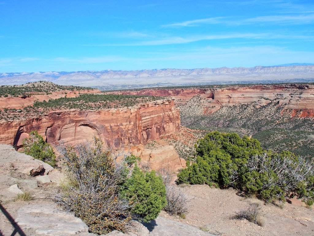
The rural area north of Grand Junction is in plain view
Speaking of junctions, in half a mile I reach an intersection
featuring the hoped-for signpost, which is not to my
liking. It is designed to be read by hikers coming up from
the side trail, yet there is no indication of where that route leads.
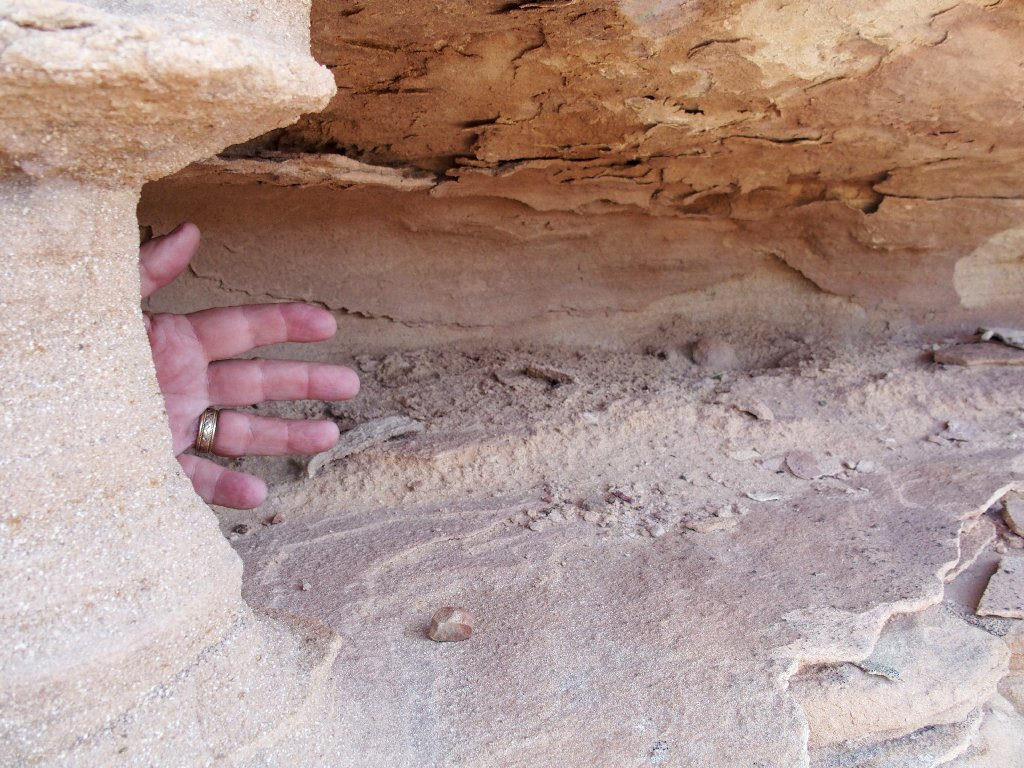
Insufficient data
I know that the Pollock Bench trailhead is down there, which provides access to this area via a lengthy trek. I'm not headed that way, however; so even though that path probably is the access to the Lower Arch Trail, I'll head over to First Arch and see what happens.
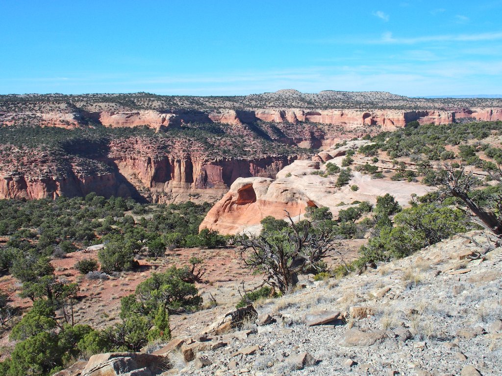
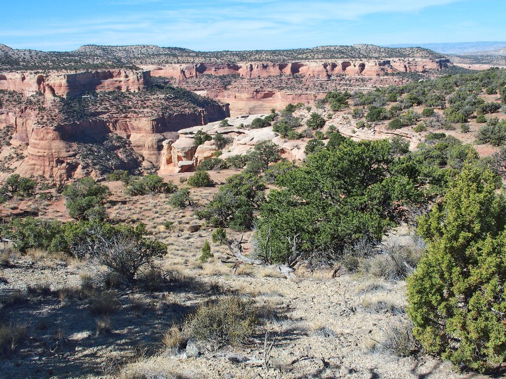
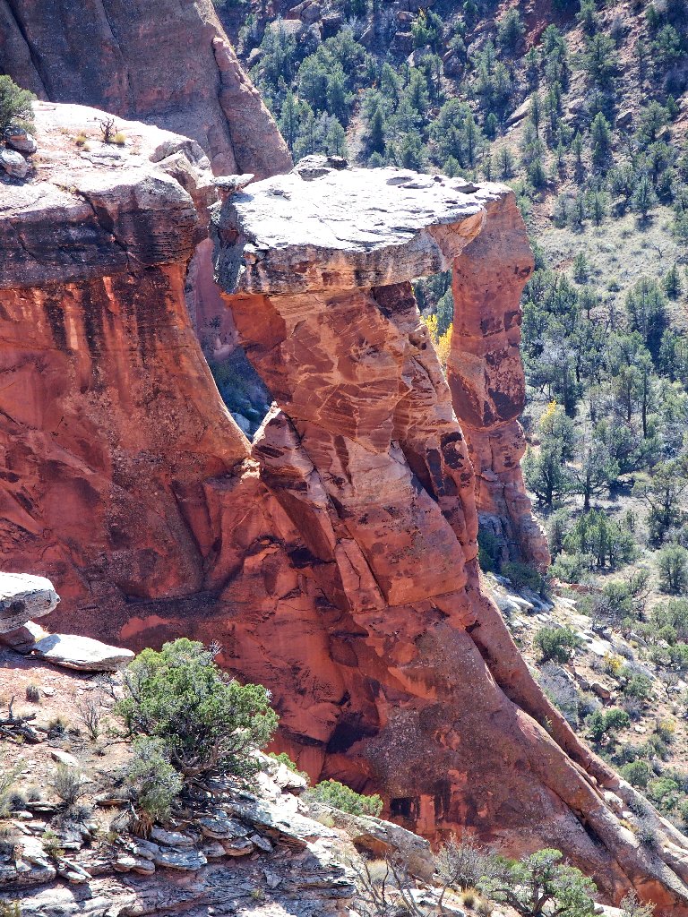
The rocks I seek are over there
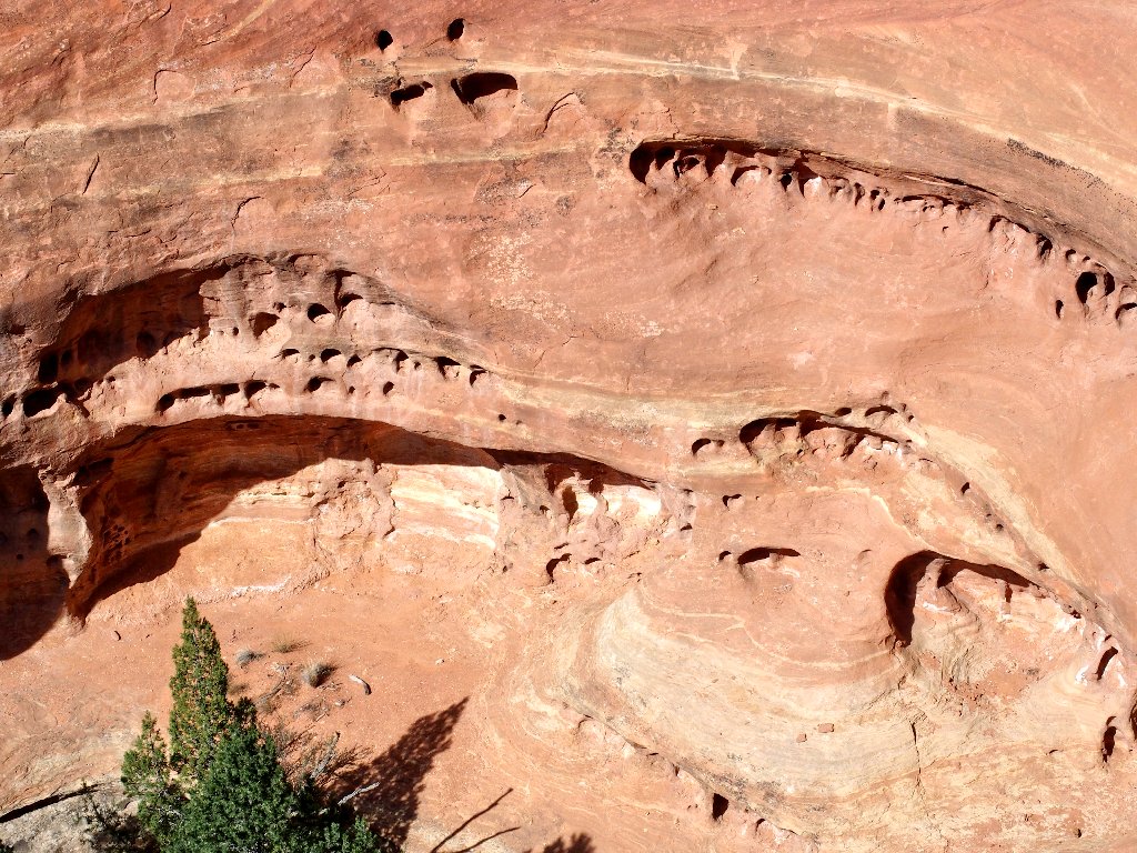
Arches in the making across the canyon
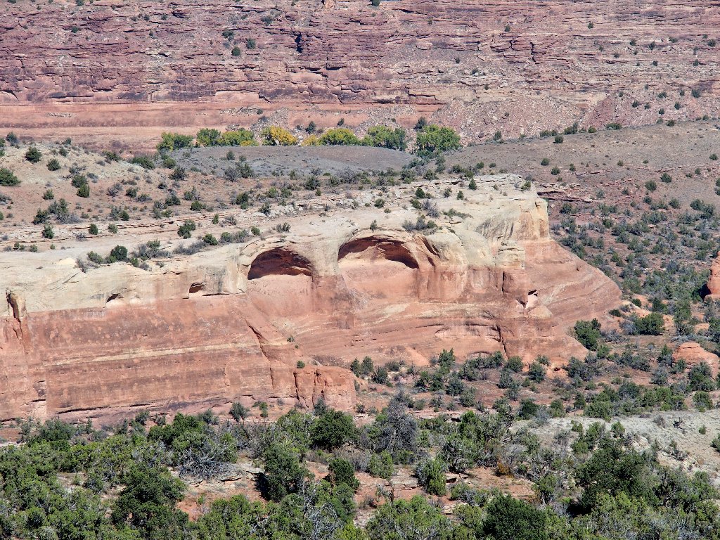
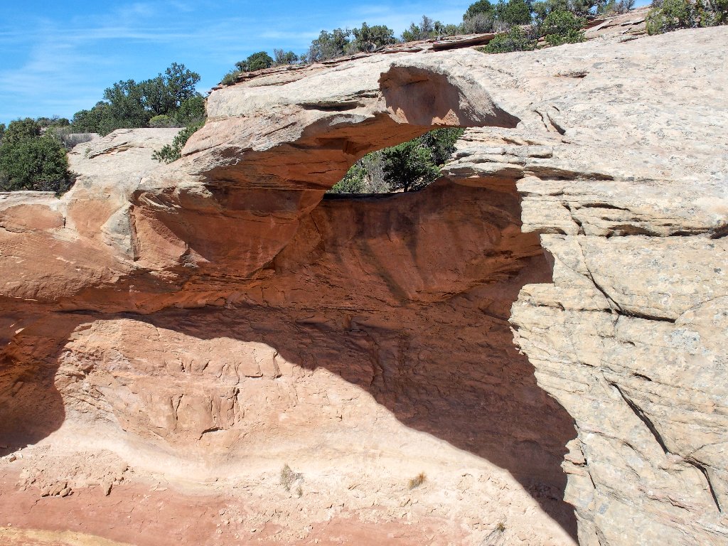
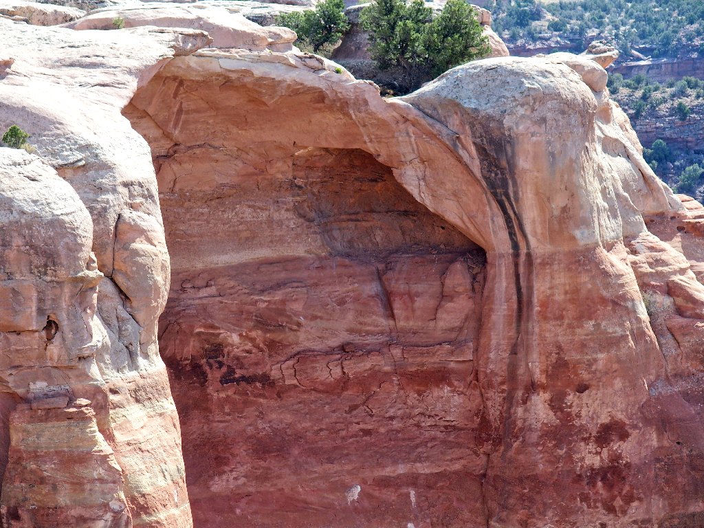
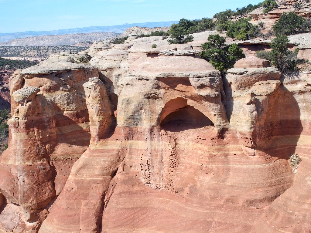
Suddenly, there is is — the most highly publicized formation of the lot.
#1: Cedar Tree Arch –aka– Rainbow Arch
One popular online suggestion is to skirt this entire hill on the Lower Trail, view all the arches from below, then scramble up directly through this arch to complete a loop and save two miles of walking. That sounds marvelous, but of course it could not work unless one actually were to access the lower trail first.
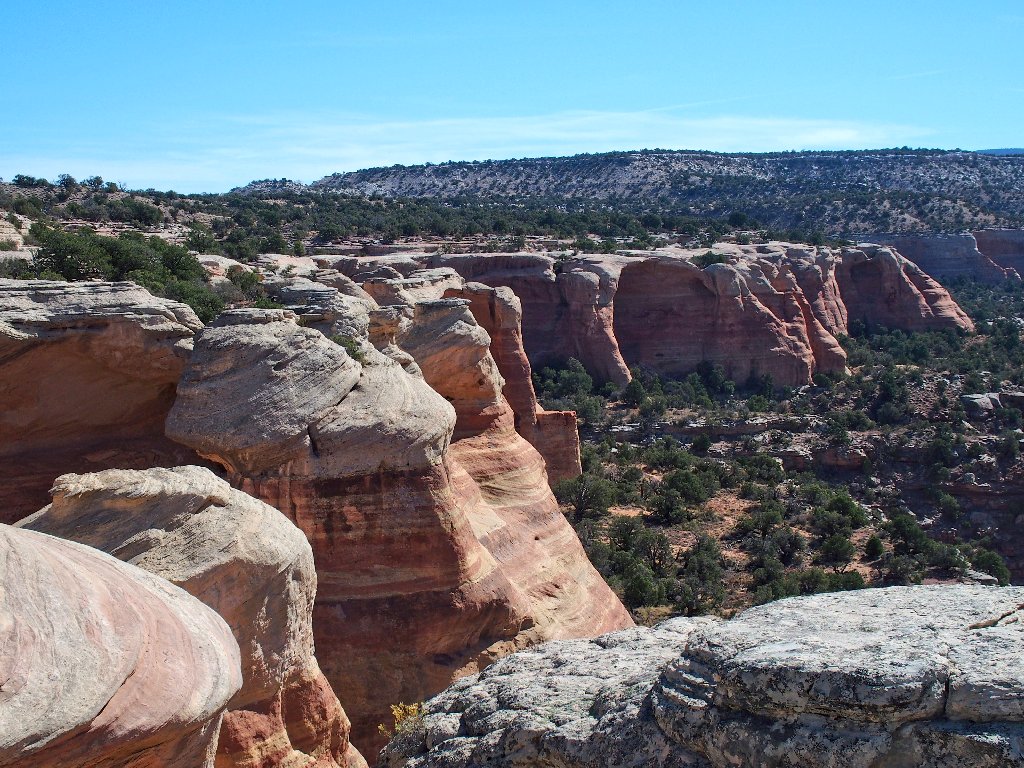
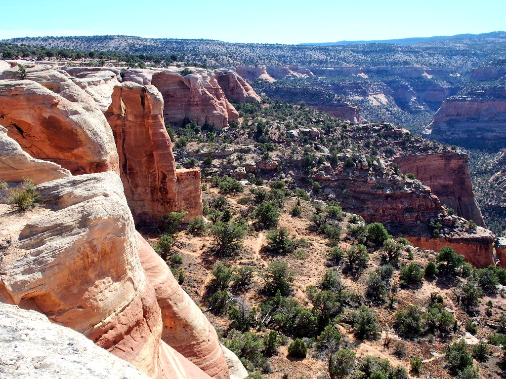
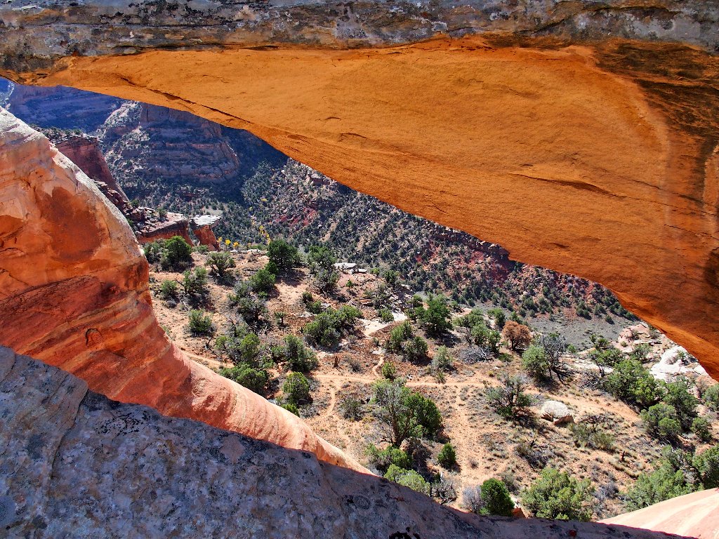
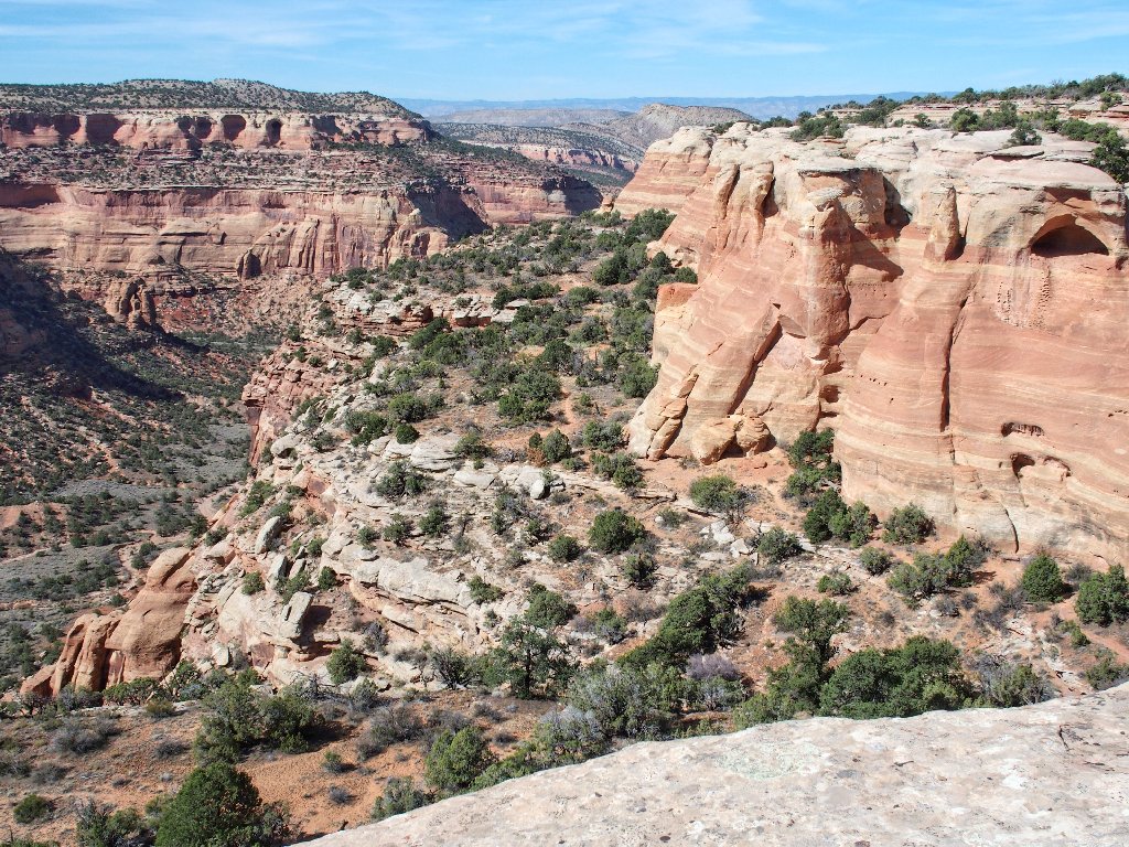
Continuing westward along the top of the mesa
More walking to do
At the end of this hill, there clearly is no way to go down. A small trail continues around to the right and back along the side of the cliff. Following that for ten minutes or so seems to be a fruitless cause, especially with new growth on certain bushes trying to push me over the edge; so I return to the previous junction, somewhat irritated that I have just wasted half a mile of walking.
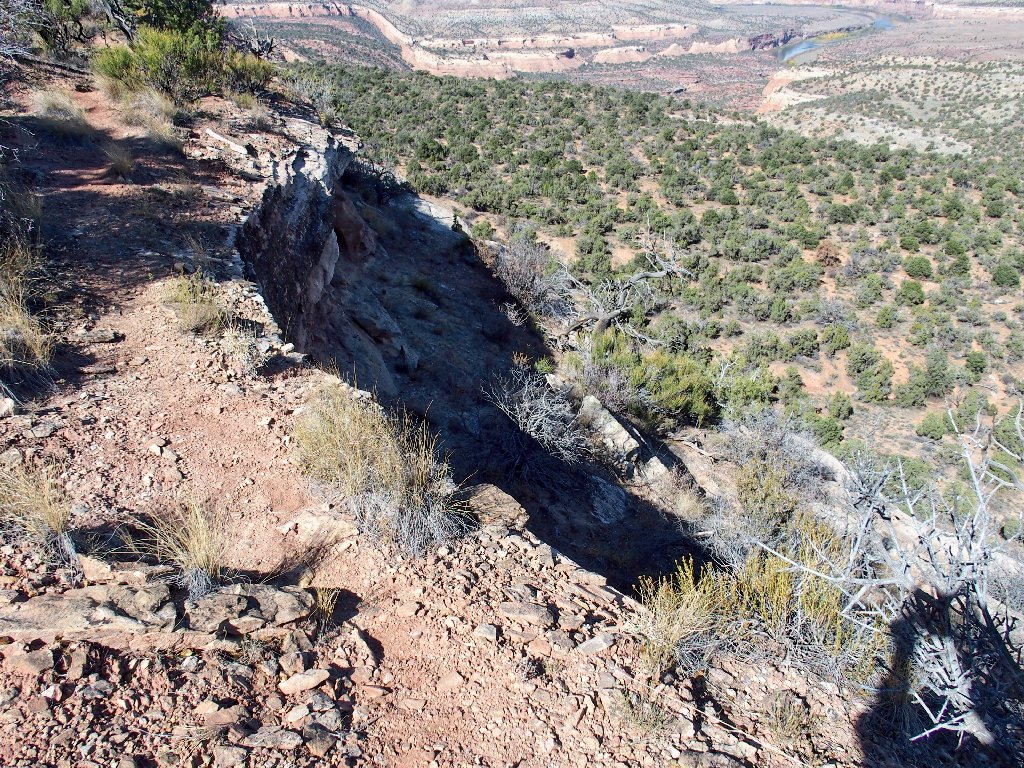
This cliff-side detour was exciting, but non-productive
From here, the natural thing to do is to return by staying as close to the cliff's edge as possible, in order to see whatever might be there.
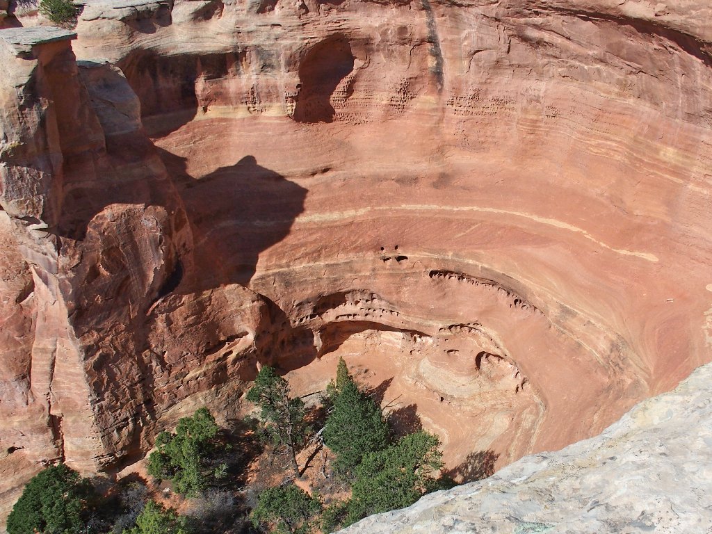
Look at all those future arches over there!
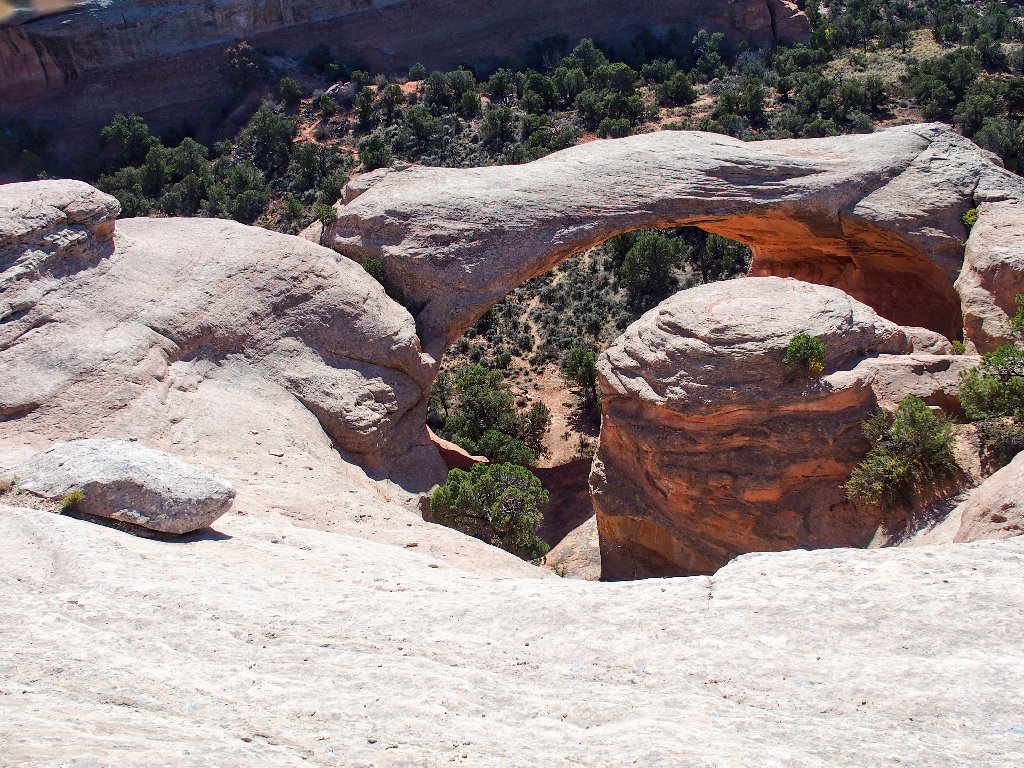
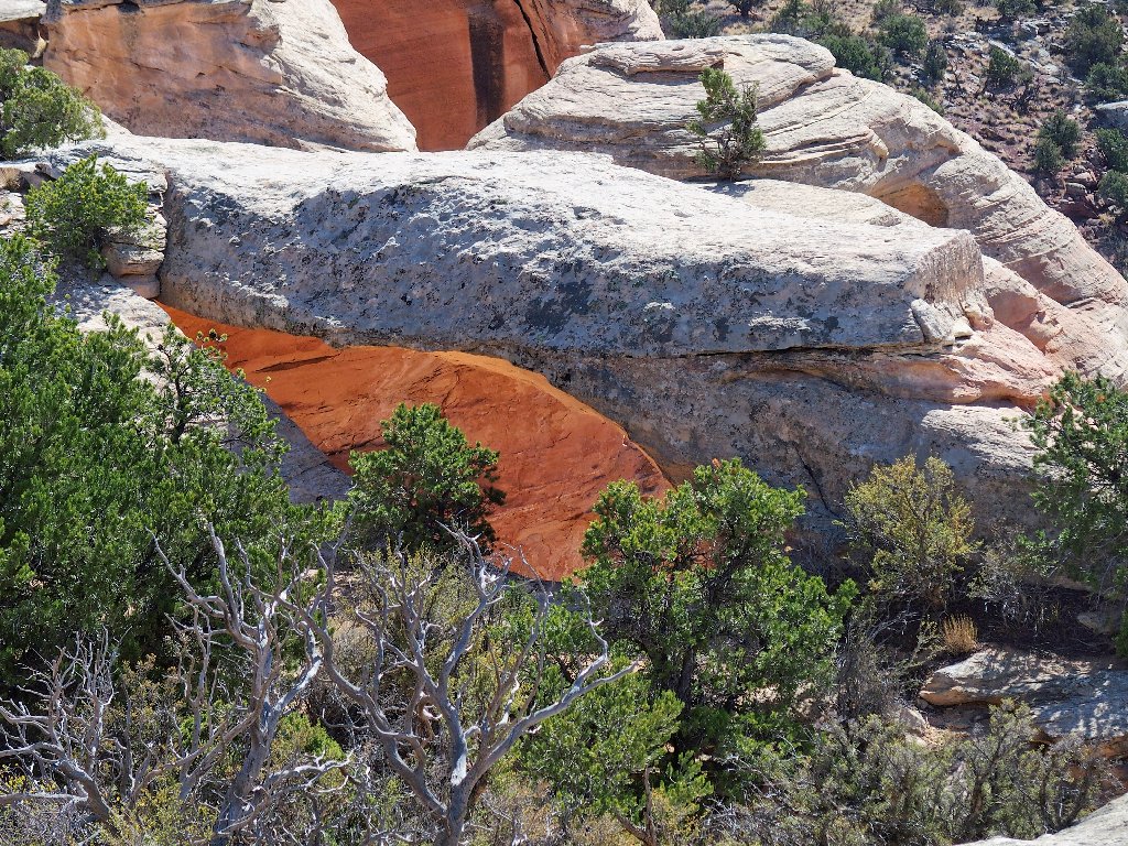
I don't have to search very far, however. Almost
immediately, I encounter a good-sized opening in the rock.
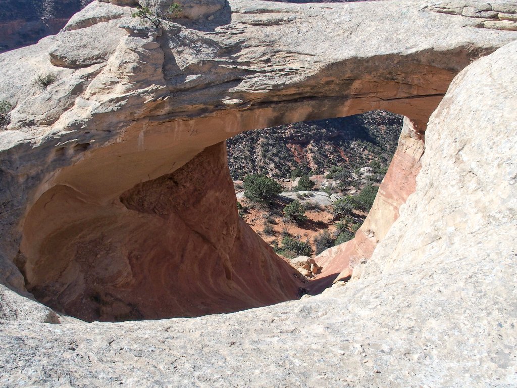
#2: Hole in the Bridge Arch –aka– Bridge Arch
It could be neat to get a photograph of myself on top of that one,
but there is no way that I could scramble over there within the ten
or twelve seconds alotted by my camera's self-timer.

#3: Twin Arch, I believe, which is difficult to view from the lower trail
This boulder-hopping is great fun. I have so enjoyed doing it since I was a little boy scrambling around the granite rocks on the shores of Lake Tahoe.
Lots of exploration remains
There are little, un-publicized arches as well
I am delighted that there is no breeze today; otherwise, getting close to the edge of the cliff would be even more scary. Two or three feet from the lip seems my arbitrary limit today.
It's a long way down
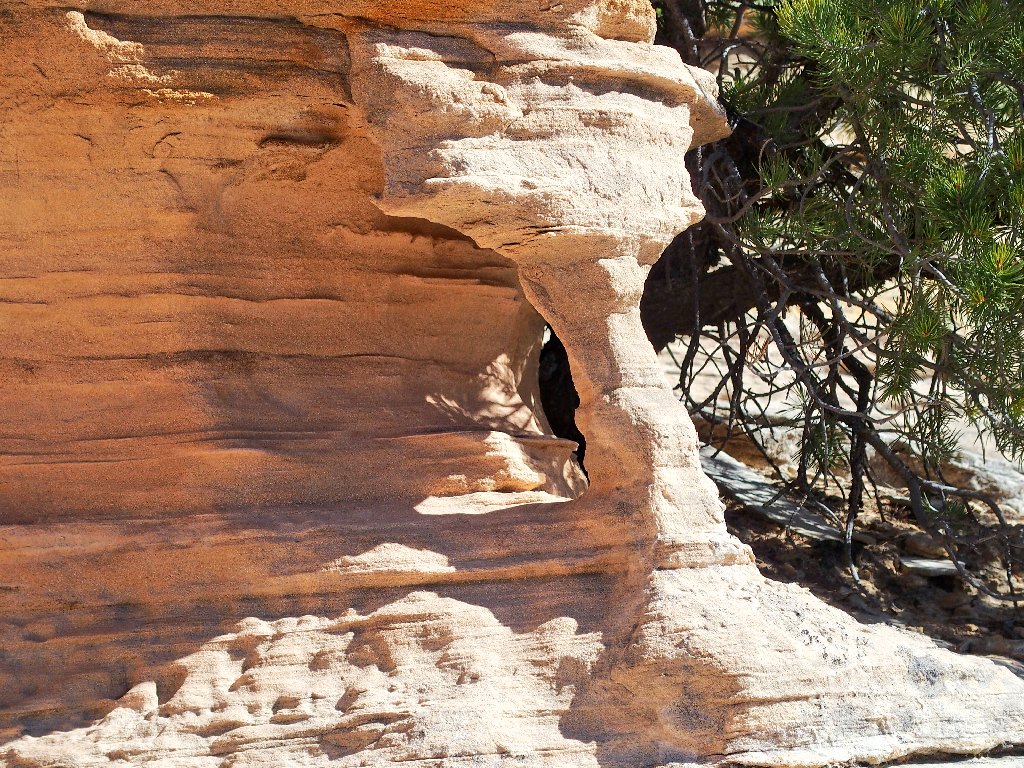
Other formations
Nothing remarkable in view here
Hold on. There's another one!
#4: Eye Arch
My favorite photo of the day
It is easy to get on top of this one. Do you see Carmine
sitting up there, on the right-hand side of that photograph?
Just for perspective purposes, of course
This is why I go hiking
Trails run all over the place down there
The other side of Eye Arch
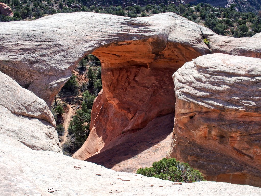
This is getting better and better, as I encounter the area's most spectacular formation:
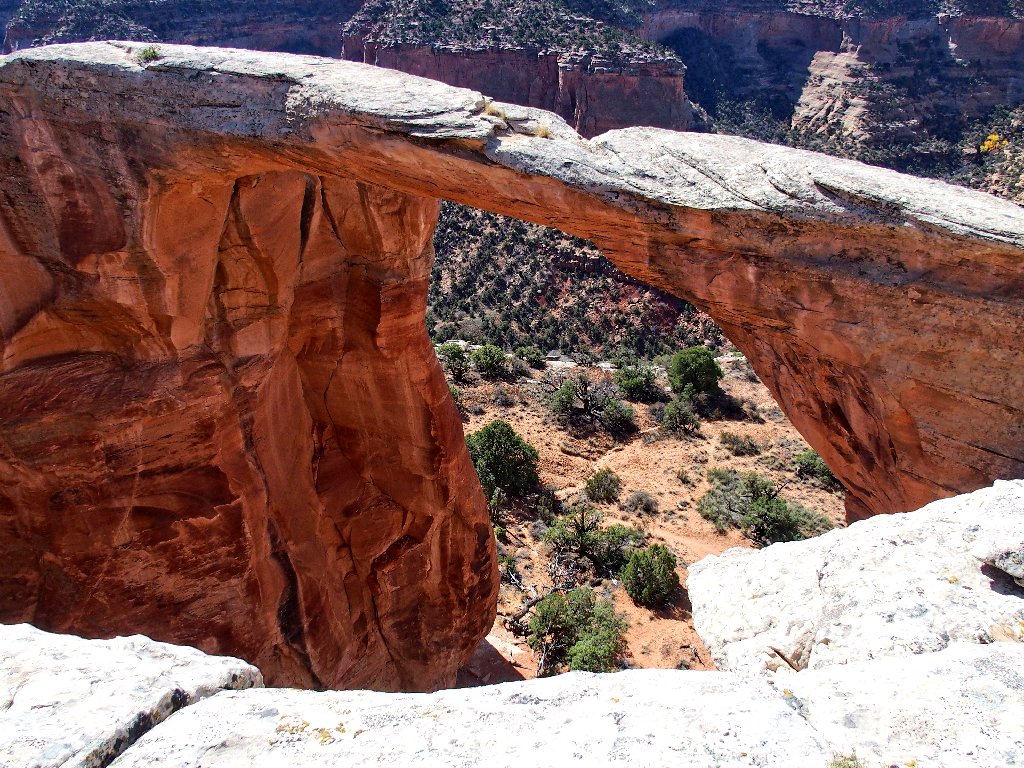
#5: East Rim Arch –aka– Akiti Arch
Incredible! I could get over on top of that one as well; but what would be the point? I've enough butterflies in my stomach as it is. Occasionally, I feel somewhat as Cary Grant must have done while clambering about the face of Mount Rushmore in the movie, North by Northwest.
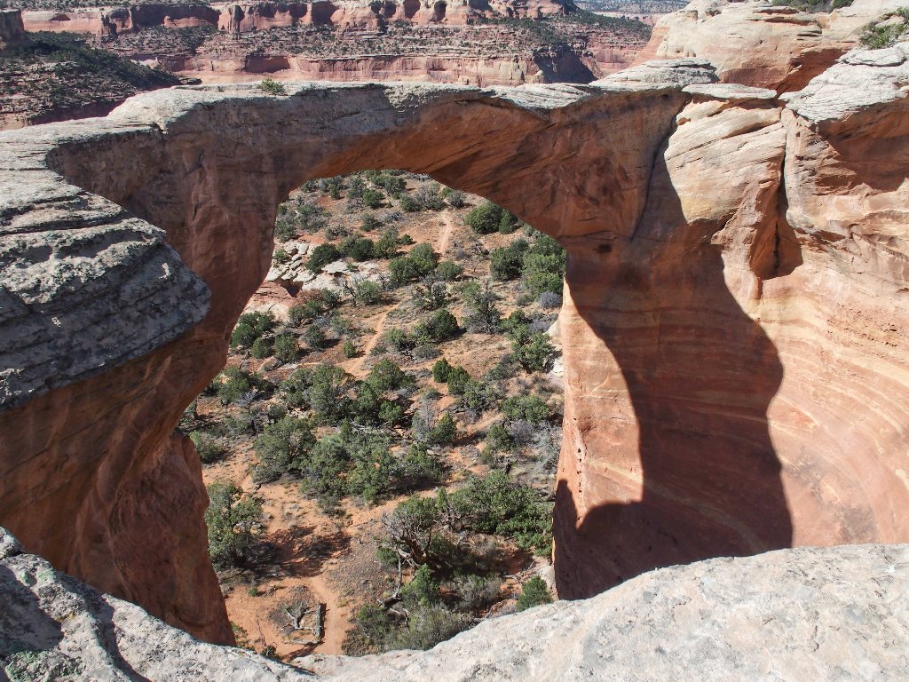
This one is even more impressive when viewed from below
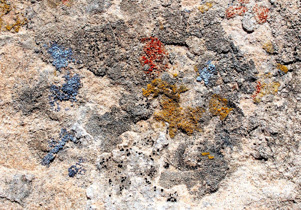
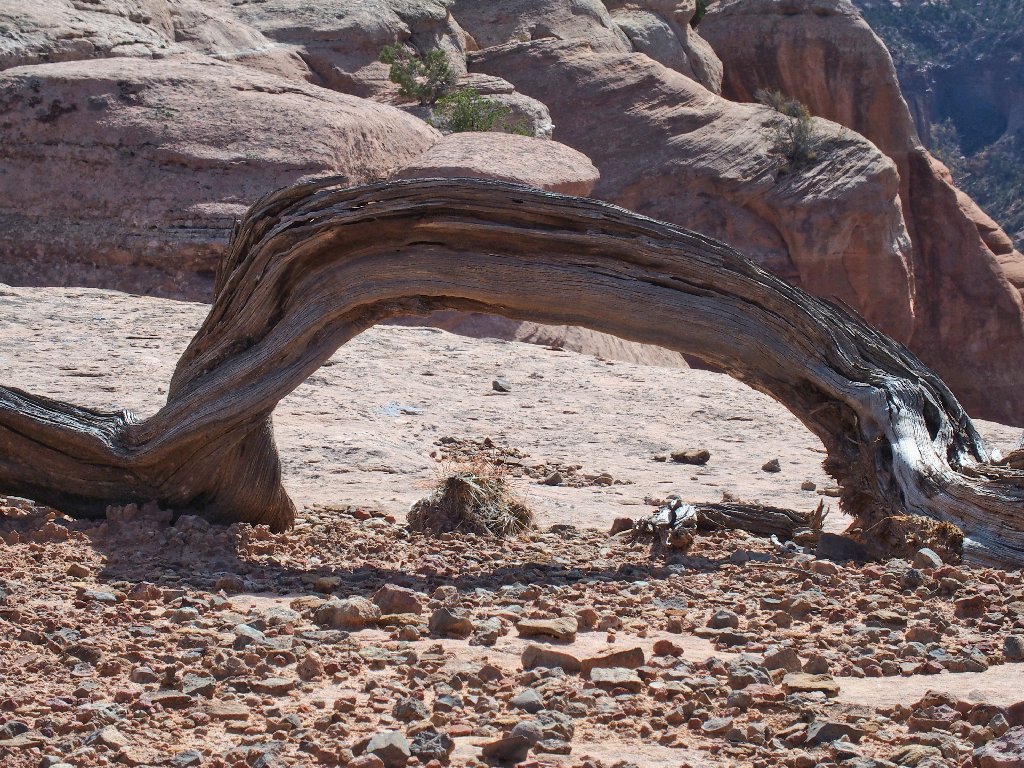
Multi-colored Alpine Rim Lichen
Is that an arch?
Yes, it is
Arch #6 is not photogenic
Interesting stuff below
That one is not an arch yet
Presently I negotiate a narrow passageway while staying as far as possible from the edge. I would rather remain on this little bench than backtrack to a spot where I could scramble up to the top.
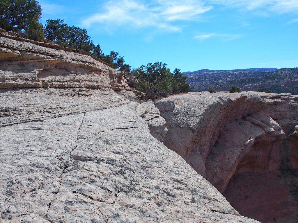
I would not go this way if the wind were blowing
It appears that the Lower Trail lies on a bench of its own:
Rattlesnake Canyon
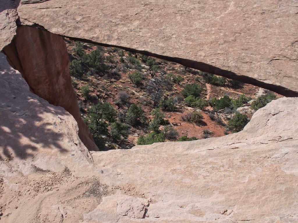
WTF! Suddenly, the rock opens to my left, revealing a sizable chasm below it. This can only mean that I am on top of an arch!
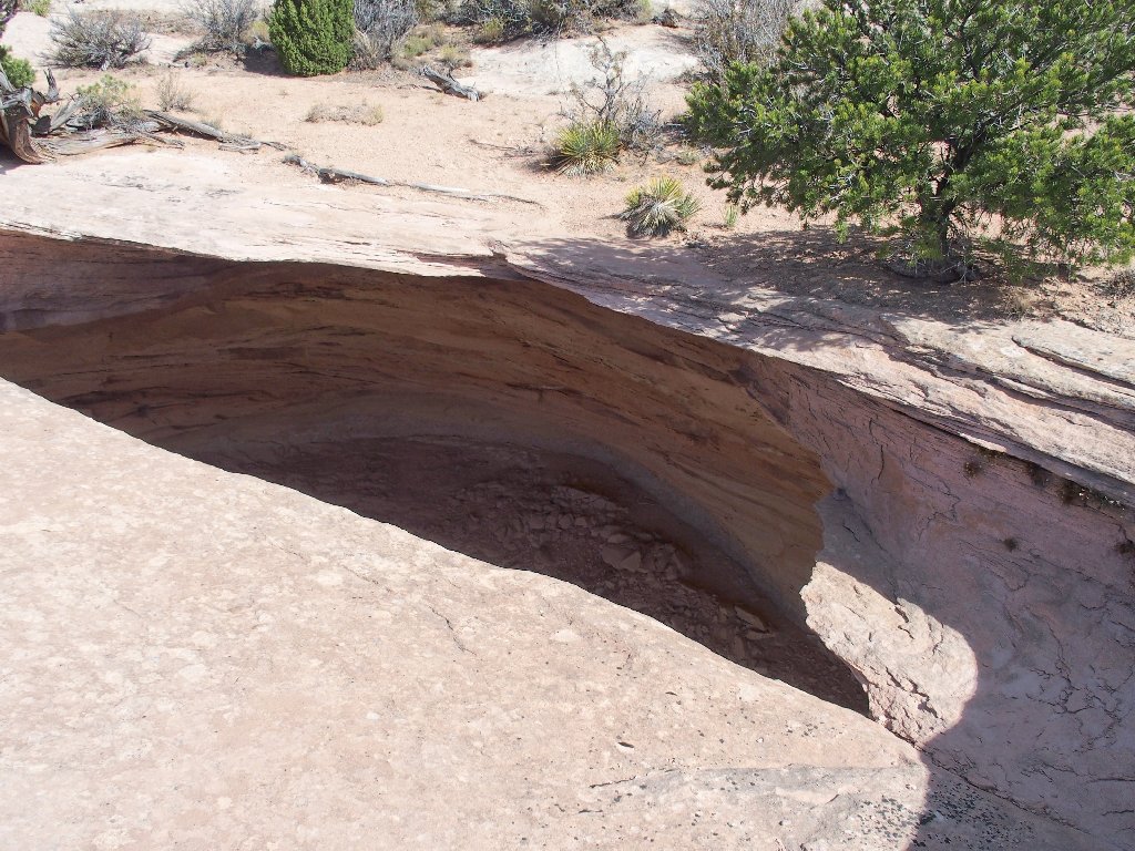
#7: Overhang Arch
This certainly was not in the plan; yet there should be no cause for concern. I nevertheless waste no time in covering the remaining distance to the end of the overhang.
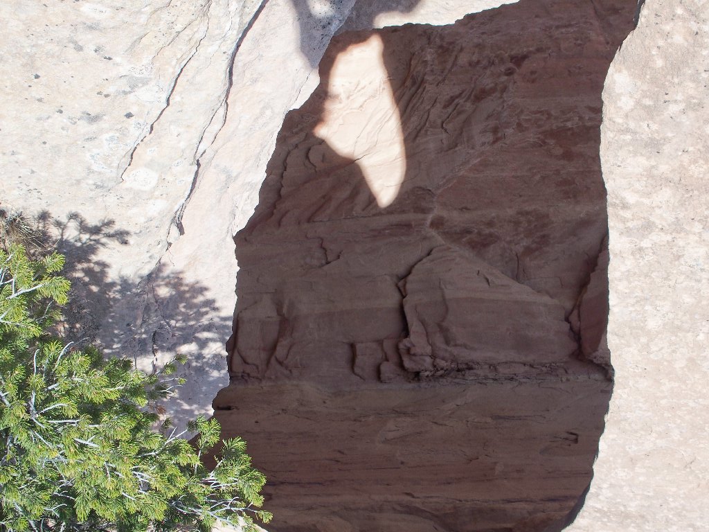
The opening takes on a new shape from another angle
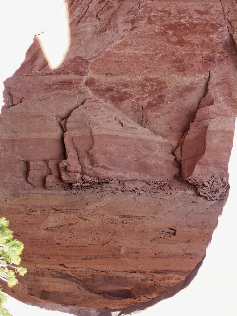
Peering through the window
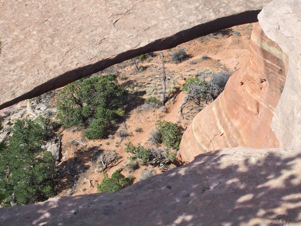
I was on that upper slab a few moments ago
Well, I'm all for a little excitement; but I don't much care for surprises such as that.
Not an official arch
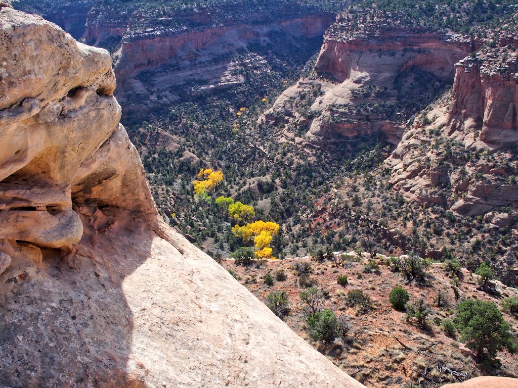
Fall has arrived in the canyon
Eventually, my loop is complete.
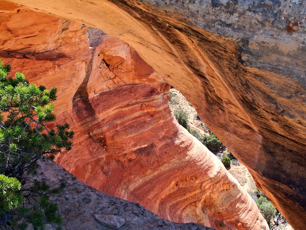
Back at Cedar Tree Arch (First Arch)
This time, I am able to get close enough to determine that the slab underneath the arch is too steep to be climbed safely without either a rope or human assistance; so that 'marvelous' idea could sensibly be implemented only with some capable company.
Heading back
There's the trailhead
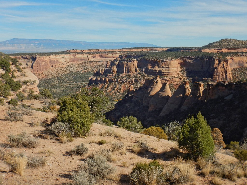
The vistas return
On my last lap up the roadway, three men approach, one toting a big tripod. Oddly enough, I see no evidence later of a vehicle of any kind, causing me to wonder how they got here at all.
Always glad to be back
§: Well, after all my research of this area, I managed
to do it wrong. Missing out on the views from the lower
trail was not part of the plan; and if I had not stupidly forgotten
a map, that would not have happened. While there, I should
have made the extra effort to figure it all out; nevertheless,
shame on BLM for not identifying that first trail junction in a
more useful manner.
Despite those factors, I had a wonderful and unique adventure, scampering about atop a row of significant arches. I am unaware of any other place where one can do such a thing. As it was, I missed two or three sizable openings.
| Scenery |  |
| Difficulty |  |
| Personality |  |
| Solitude | |
The names Twin Arch and Overhang Arch were derived from another blog; I hope that they are correct. In any case, other photographs show that the overhang that I was on is quite substantial; so I need not have been concerned.
Subsequent reading also has confirmed my feelings about both the climb through First Arch and the potential treachery of the road hazard that I avoided. Unfortunately, it also revealed that I could have viewed Finger Arch directly across the canyon from where I had parked the car.

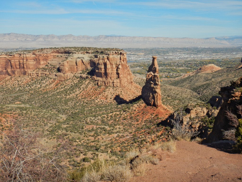
To get out of here, I must drive back through the monument. This is a good opportunity for more photographs.
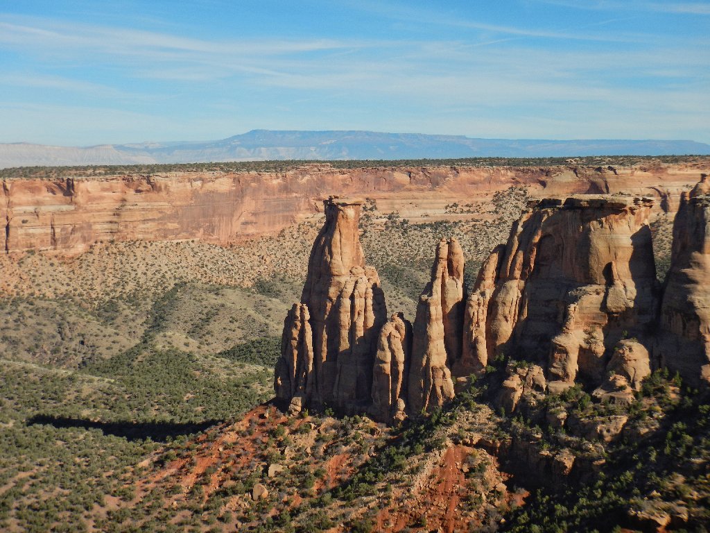
Independence Rock, where climbers raise a flag every Fourth of July
I finish up with a nostalgic stop at the Visitor Center, where I had created quite a commotion among the staff back in 1978 by pointing out that in a certain exhibit, the word "Pleistocene" had been misspelled.
