Arches National Park, Utah
|
Ring Arch Arches National Park, Utah |
October 15, 2017
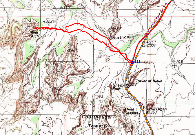
On Day-7 of the Fall Bucket List Tour, I would visit a nice arch that is not mentioned in the park brochures. Even though it is little more than a mile from the highway and is clearly marked on the topo map, there is no trail to it. Go figure. Before getting started, though, I will visit a few other nearby scenes of which I have no suitable images yet.
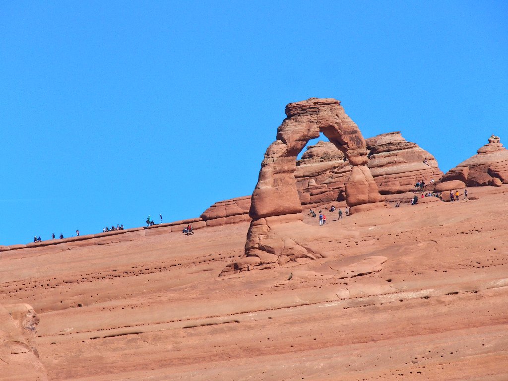
Delicate Arch from the viewpoint to the south
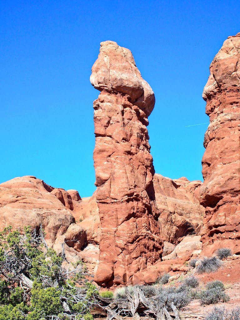
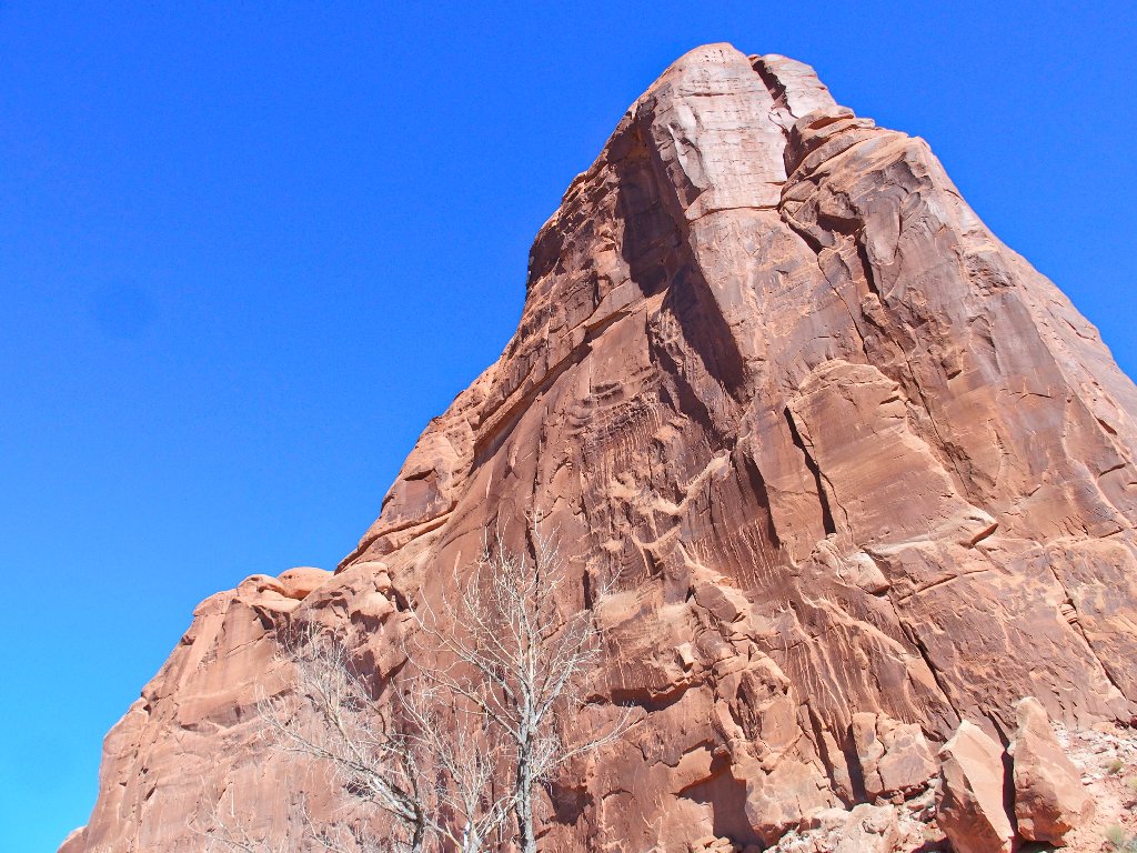
What a man! Right next to the park road
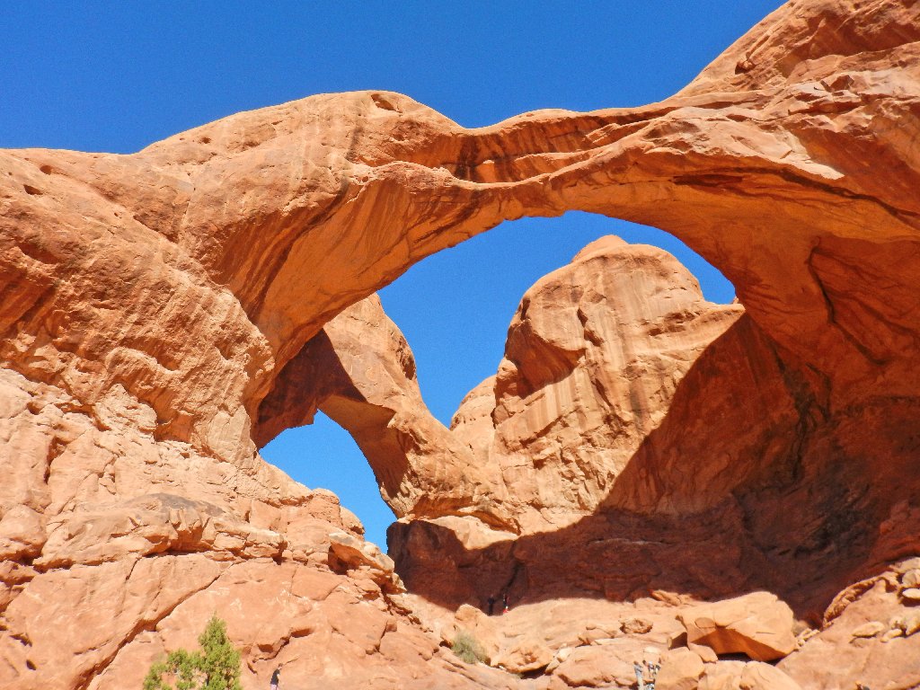
Double Arch, in the Windows Section

The entire park road is being renovated, but only on weeknights. Lots of construction equipment is cluttering various locations along the highway, including the parking area on the north side of Courthouse Wash; so instead of using that one, I opt to park at a newly constructed turnout on the south side of the wash instead.
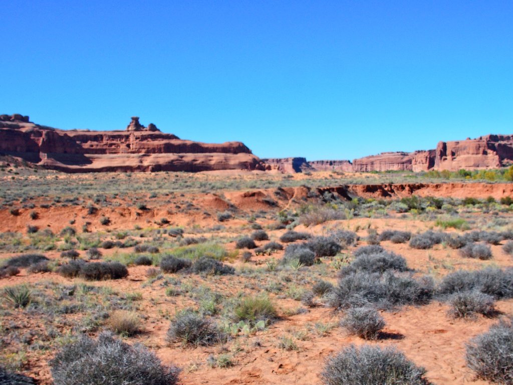
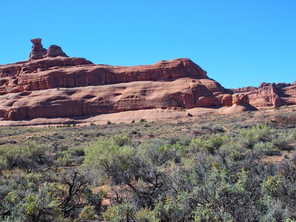
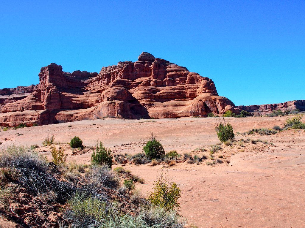
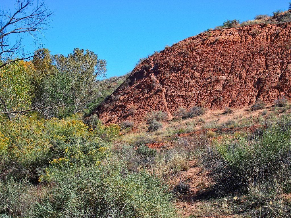
The objective is over there somewhere
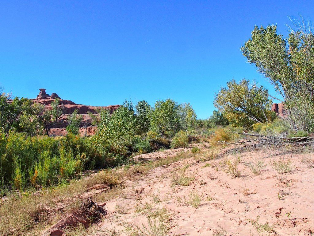
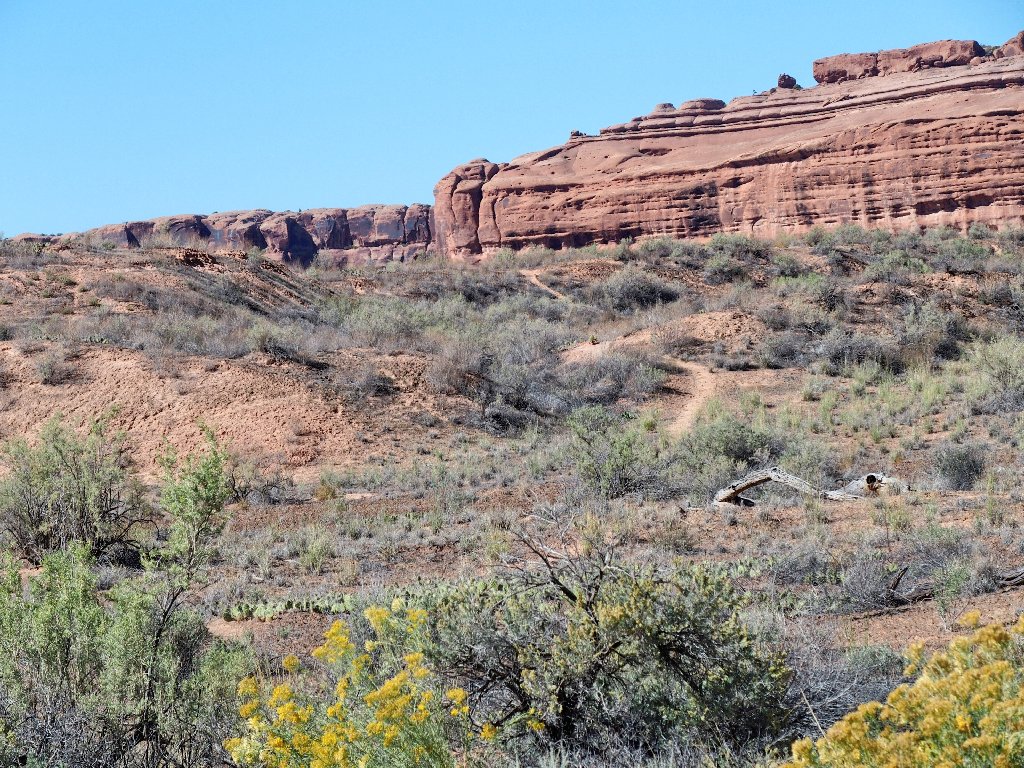
I see a trail up the embankment
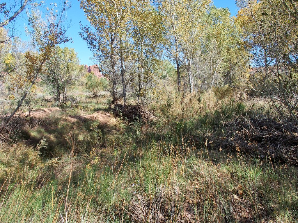
Shortly, I must scramble back down into the tree-lined ditch, then wade through the bushes for a while.
Helpful boot prints are around, then they are not
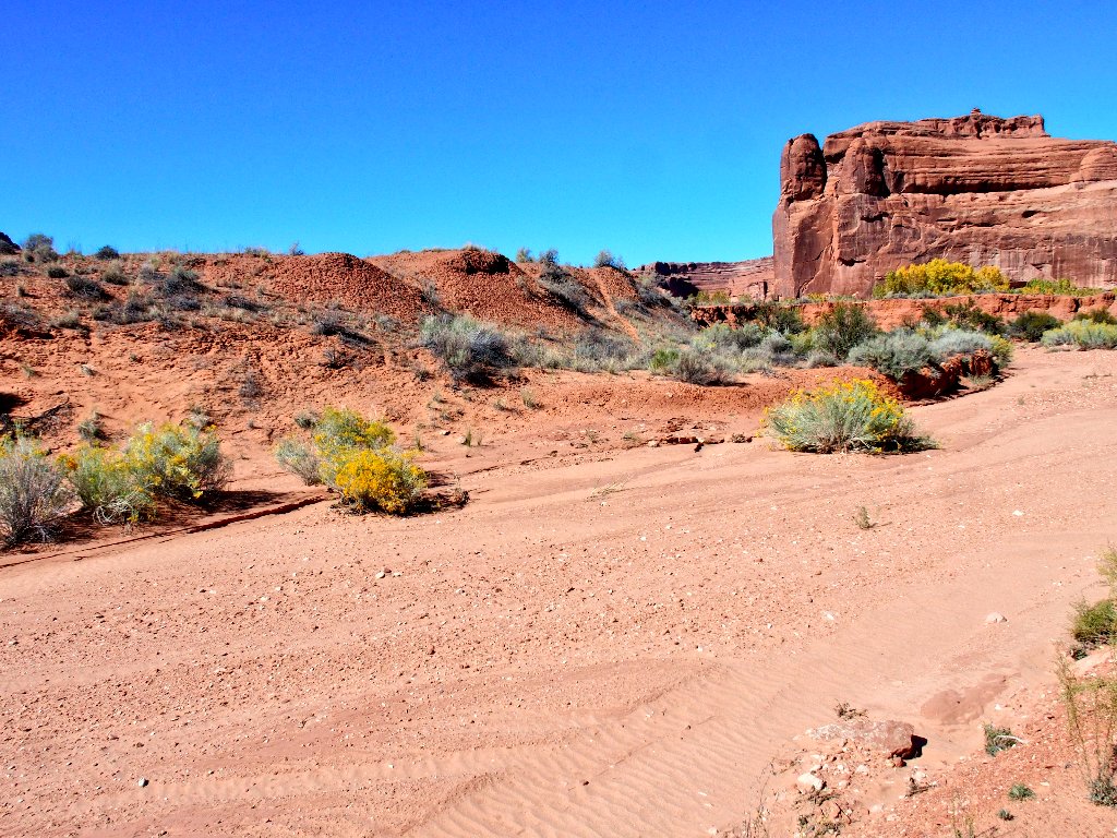
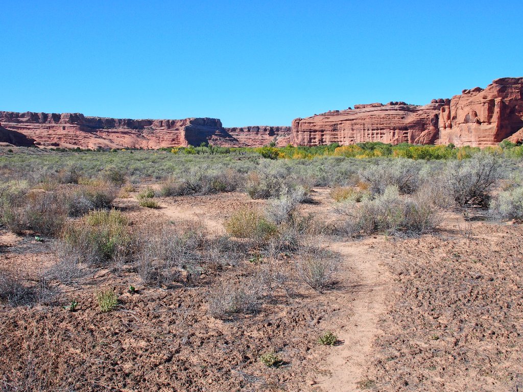
There is a nice use trail to follow
I wouldn't want to trample any of those little cryptobiotic guys
As I pass by the near cliff on the left, suddenly, there it is!
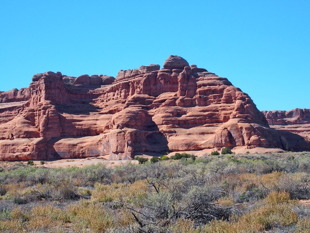
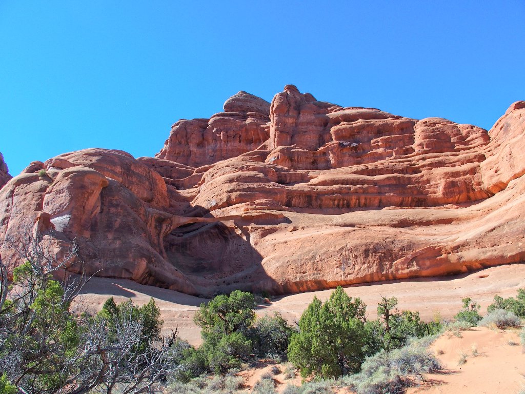
Ring Arch
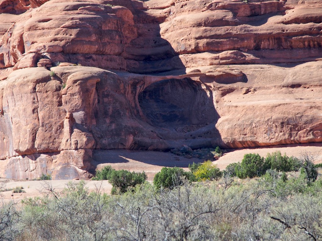
Zooming in
There is a big slab to cross
It does look like a ring
At the end of the green stuff is a steeper slab. Following the boot prints between the trees leads to the easiest and safest way up to the base of the arch.
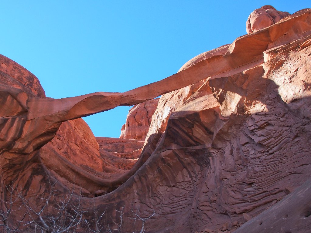
Beautiful
Although it goes without saying that natural formations come and go, there has been an inordinate amount of destruction around here in recent years. Thousands of tons of rock broke off of Landscape Arch in 1991, four thousand tons more from Kachina Bridge in 1992, the nearby Wall Arch collapsed completely in 2008, and the unique "Cobra" formation over at Fisher Towers toppled in 2014.
Also in 2014, this arch lost a lot of substance. Here is a shot of what it looked like prior to the recent collapse:

(not my photo)
The result is a spectacularly delicate sliver of sandstone:
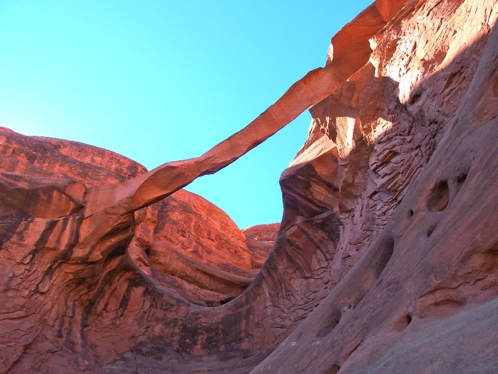
This is why I go hiking
In fact, that span looks so fragile that I find myself mentally looking around for a safe shelter should there be a further breakup while I am here.
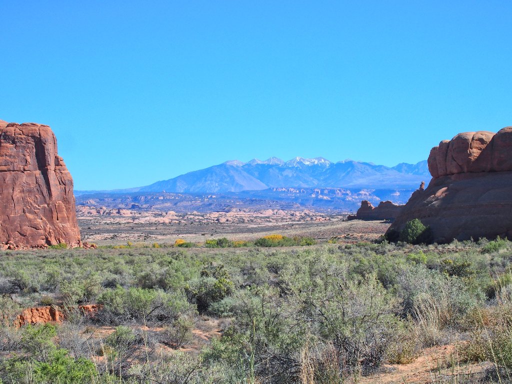
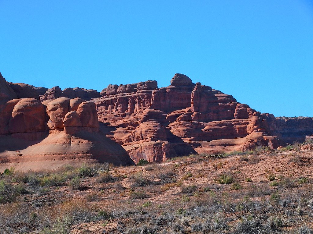
The La Sal Mountains to the east
Starting back, I try to stay on an established trail as before; but doing so can be difficult at times.
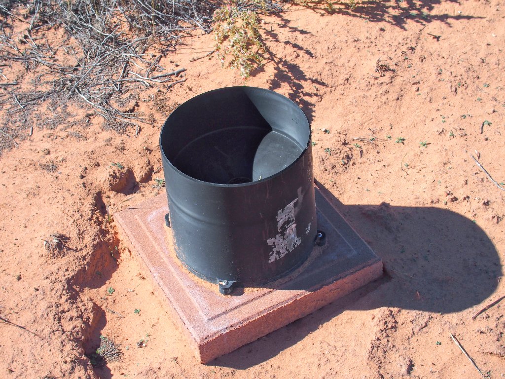
My guess is a rain gauge
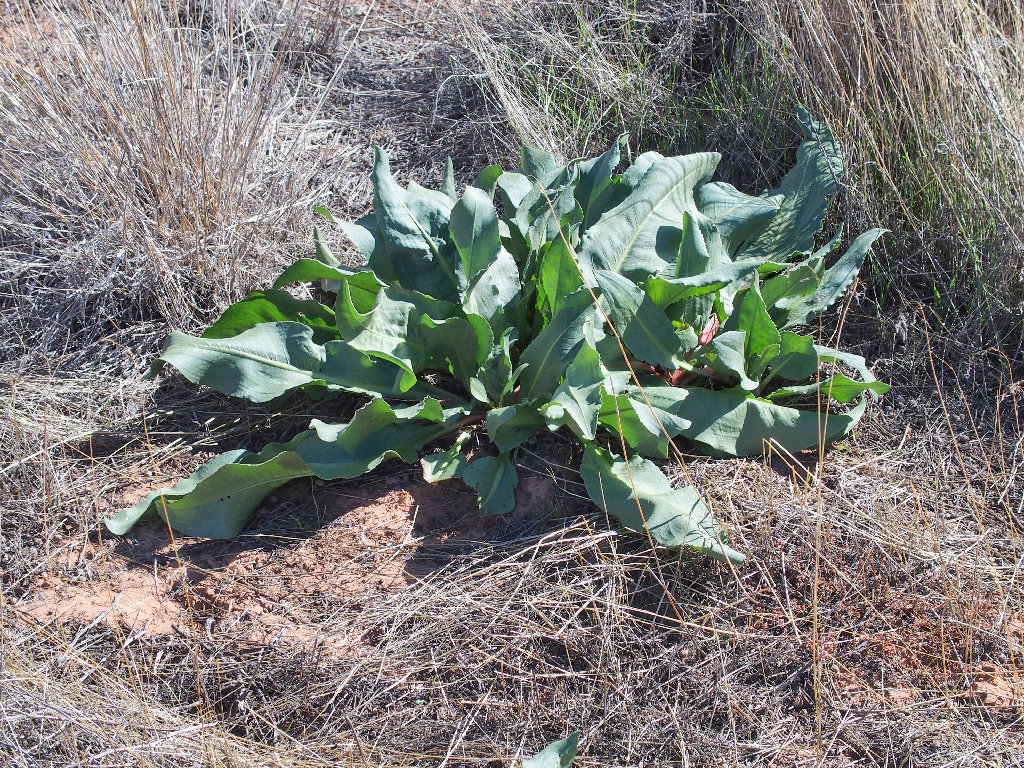
Canaigre Dock abound
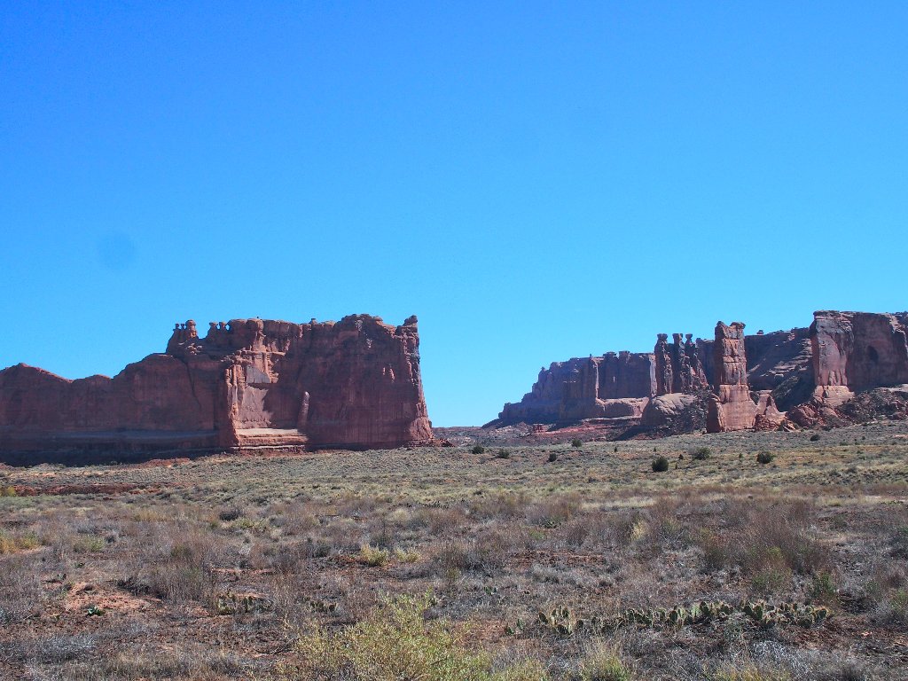
Tower of Babel on the left, The Three Gossips on the right
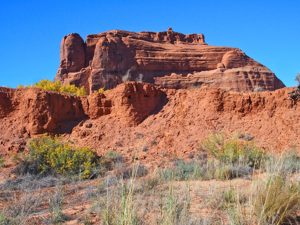
A final look back
That's not the route I want
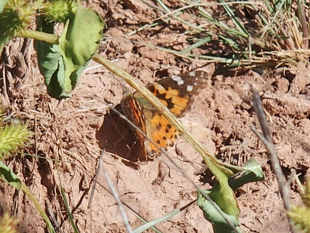
Today's wildlife entry
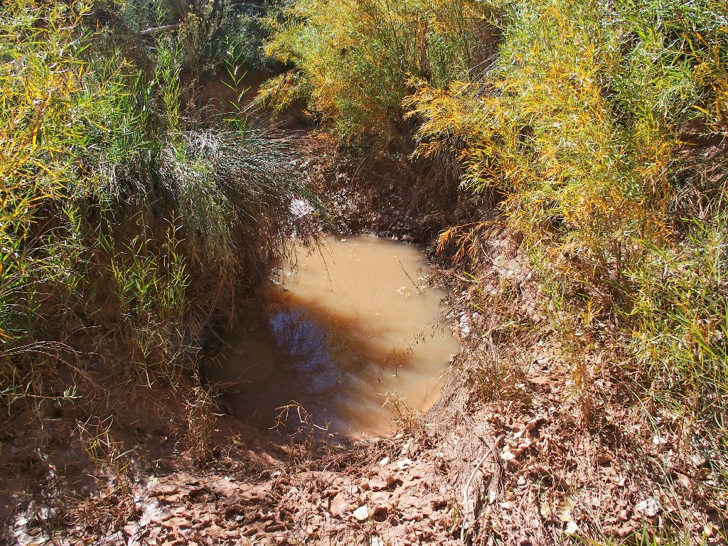
Detouring around a water hazard not encountered previously, I finally retrace my tracks up the slope.
At the end, I find a new way to slide down the final embankment.
§: What a nice find! This short outing offers a
great reward-to-effort ratio. Try it.
| Scenery |  |
| Difficulty |  |
| Personality | |
| Solitude |  |