
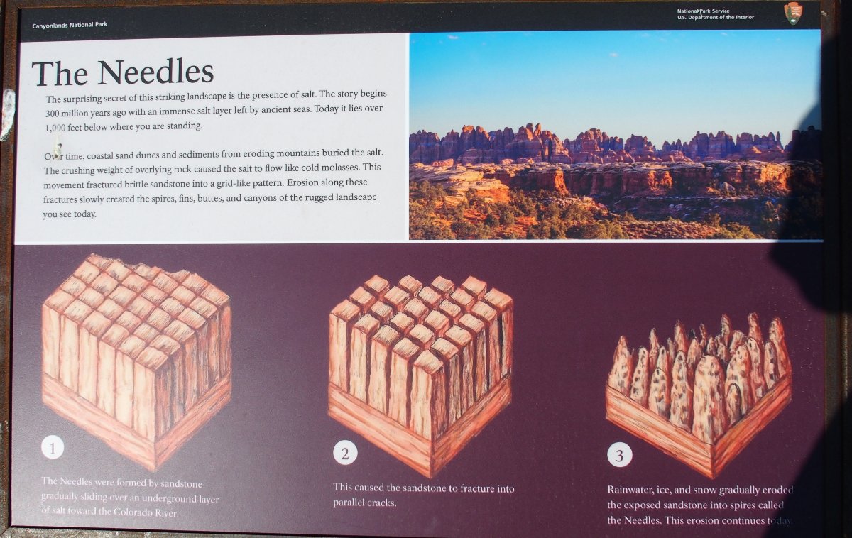
Canyonlands National Park, Utah
|
Joint Trail Canyonlands National Park, Utah |
October 14, 2017
This is Day-6 of the Fall Bucket List Tour. I stayed overnight in
the utterly boring community of Monticello, Utah, just for its proximity to
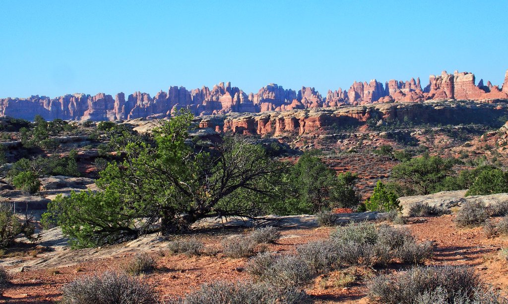
today's highly anticipated outing — a lengthy walk in the Needles
Region of this park.
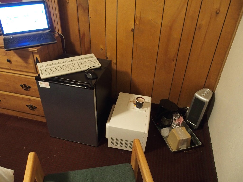
My 'office' in Monticello
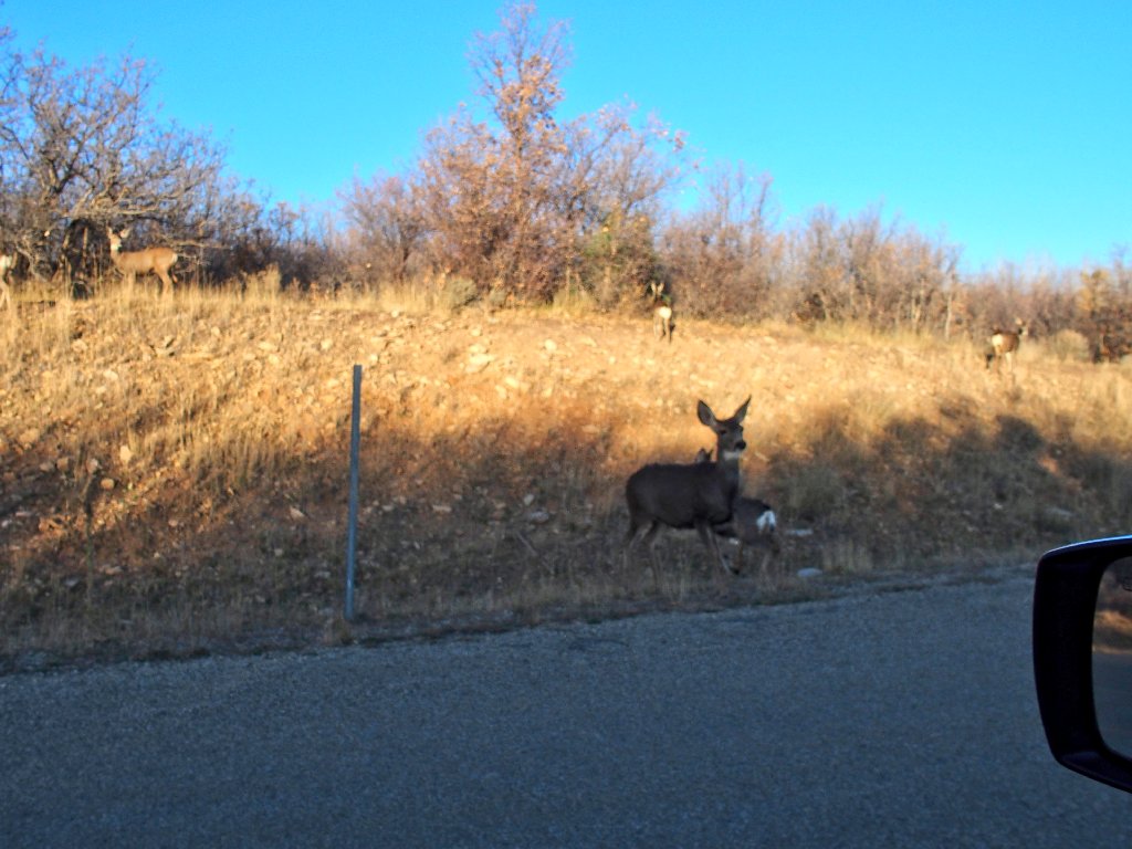
Views along the shortcut out of town
One great feature of this road is just around the corner:
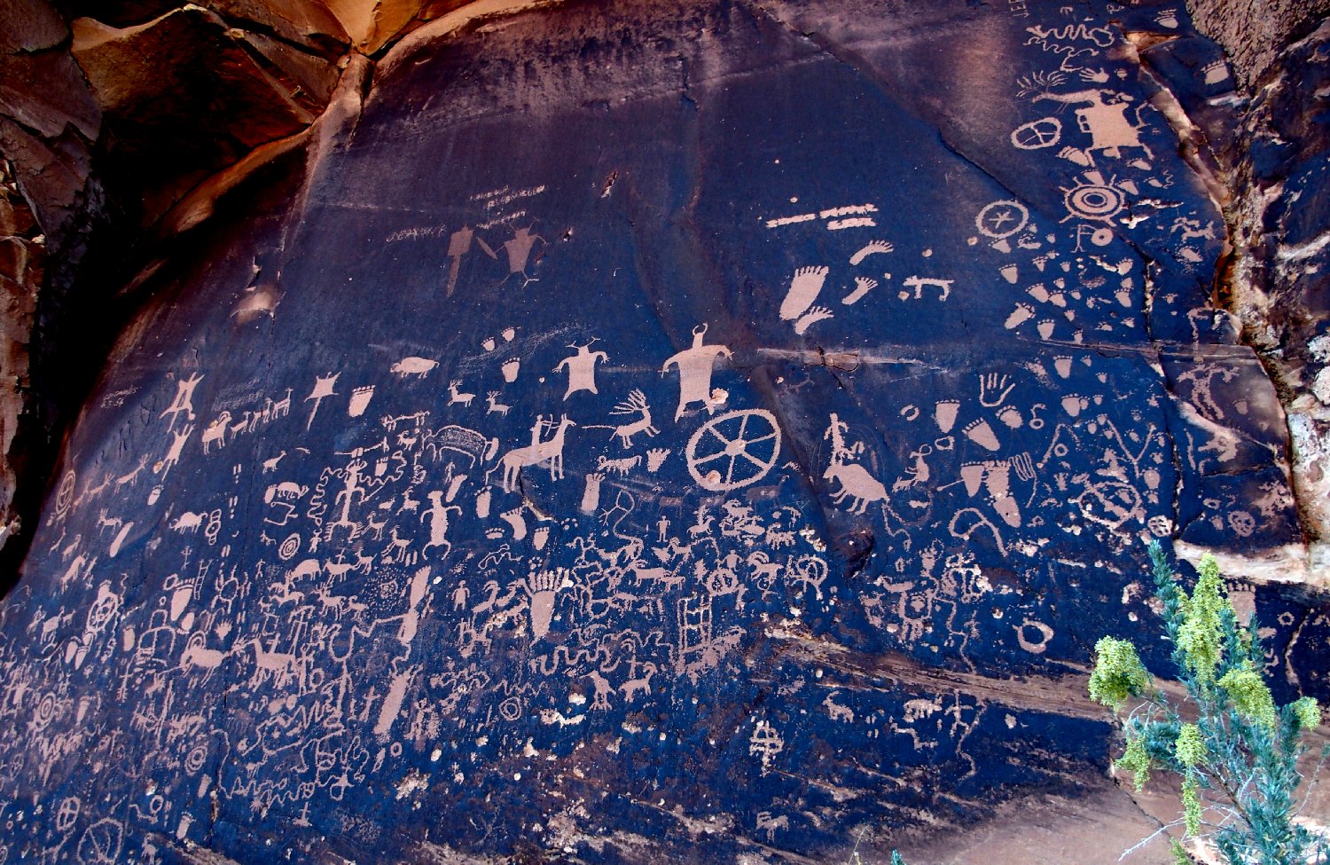
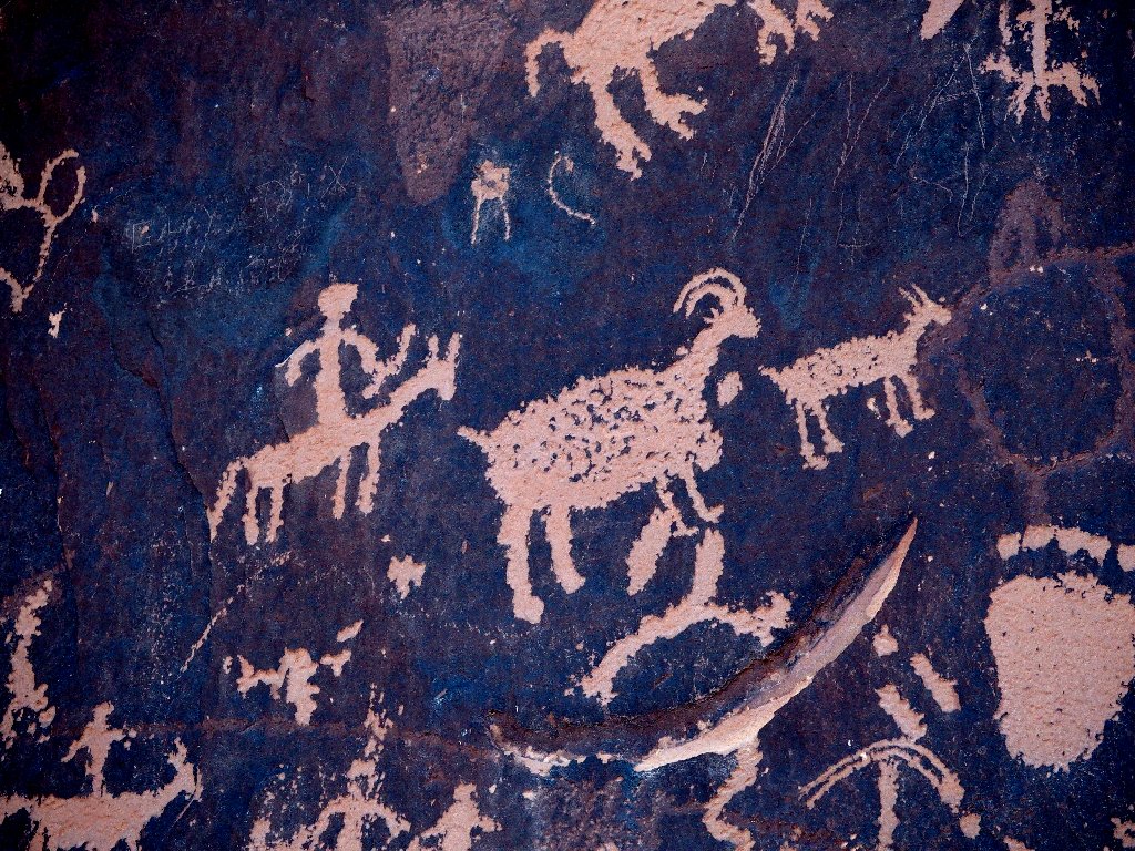
Newspaper Rock
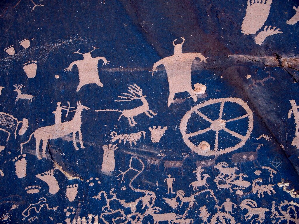
My favorite rock-art action scene

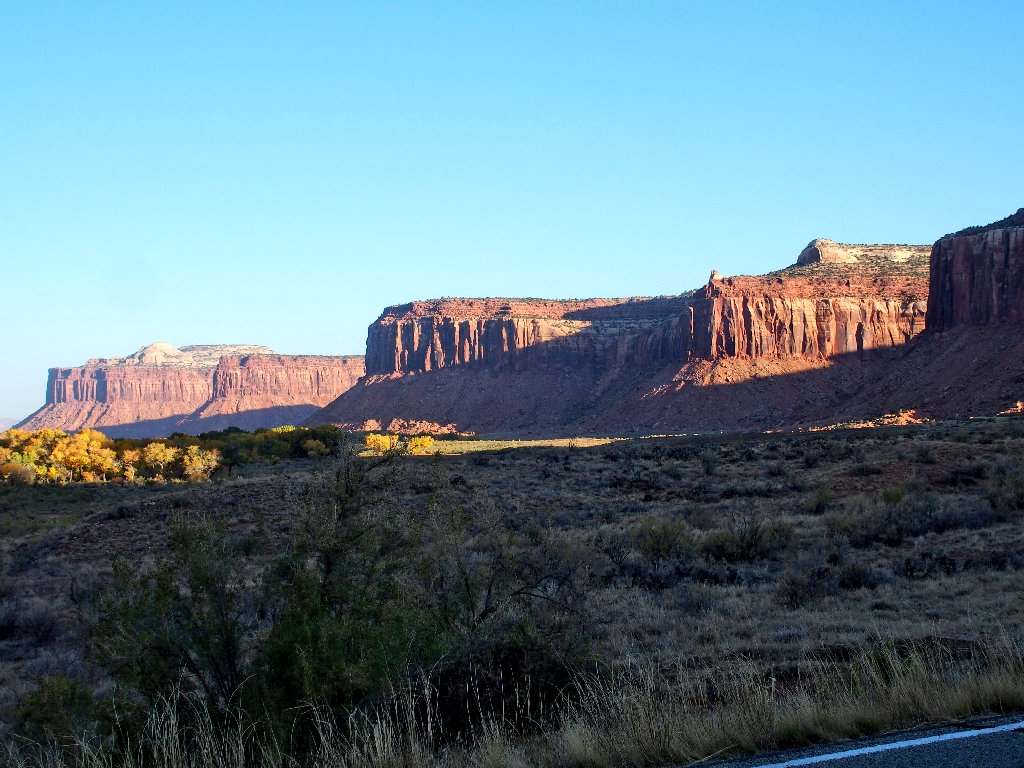
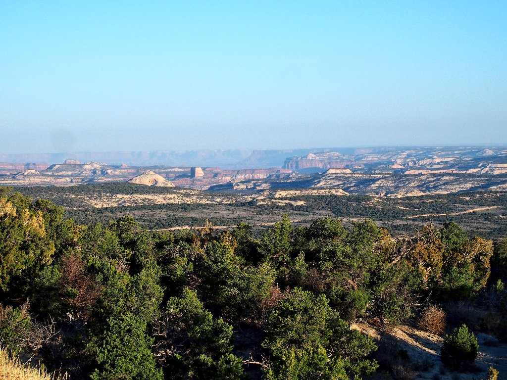
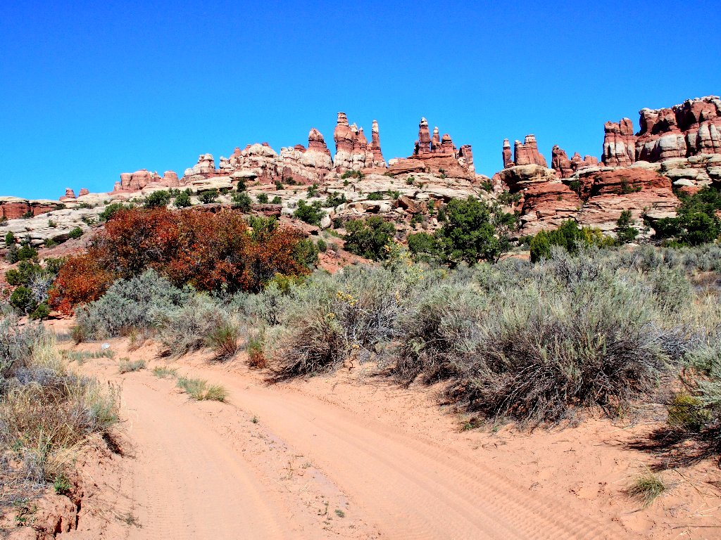
En route to the park
⇔
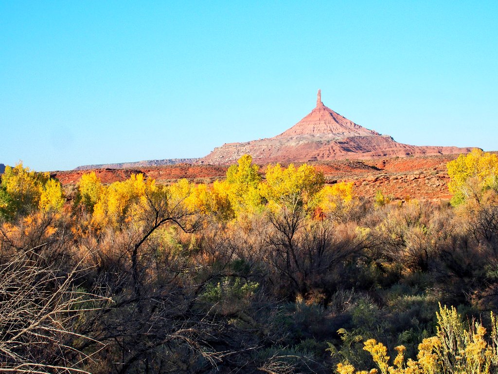
Preview of coming attractions
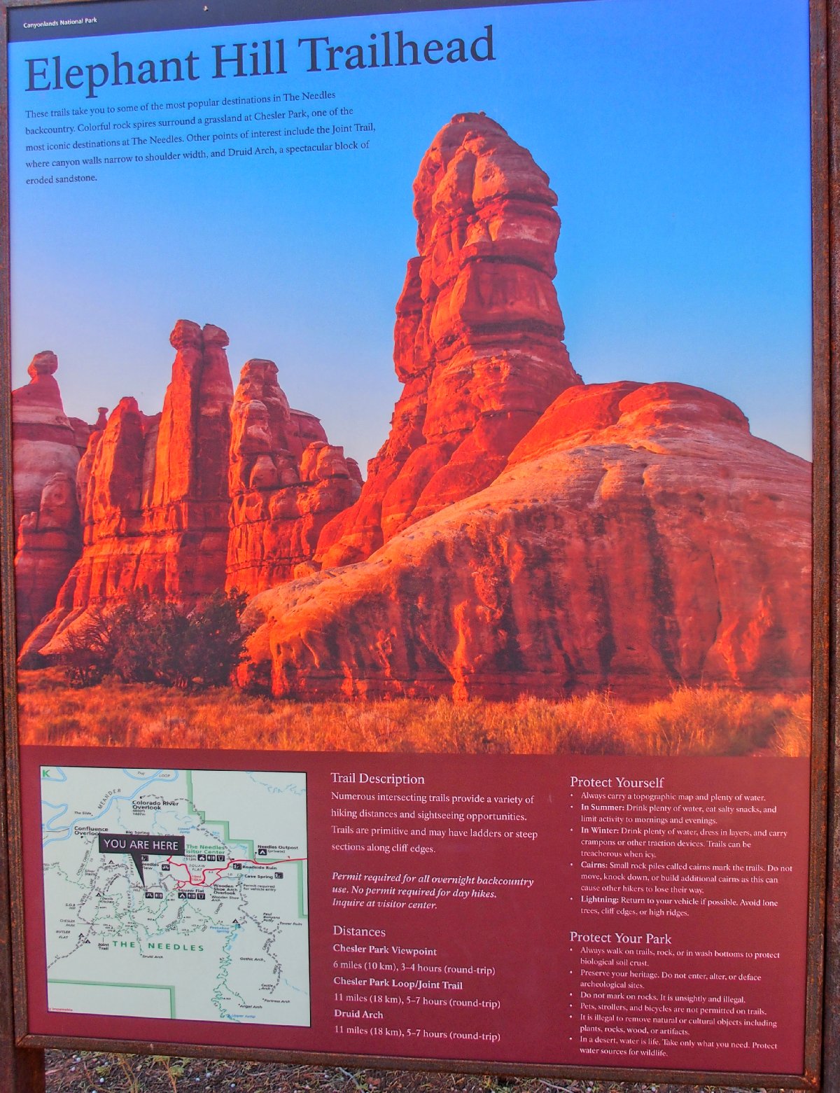
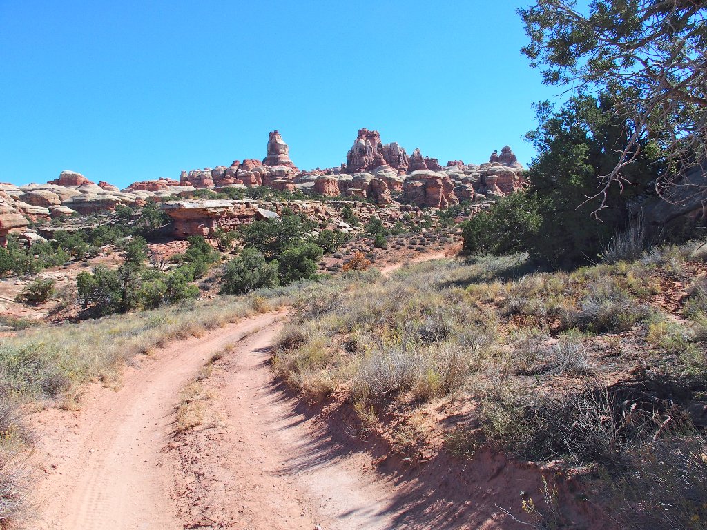
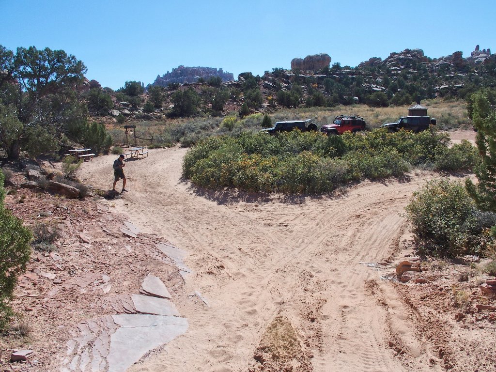
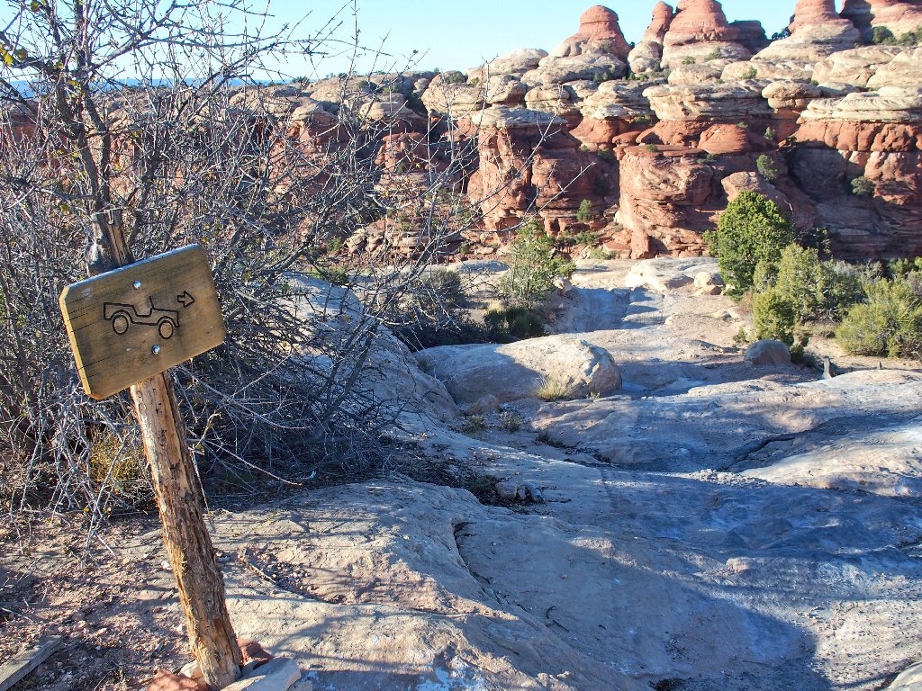
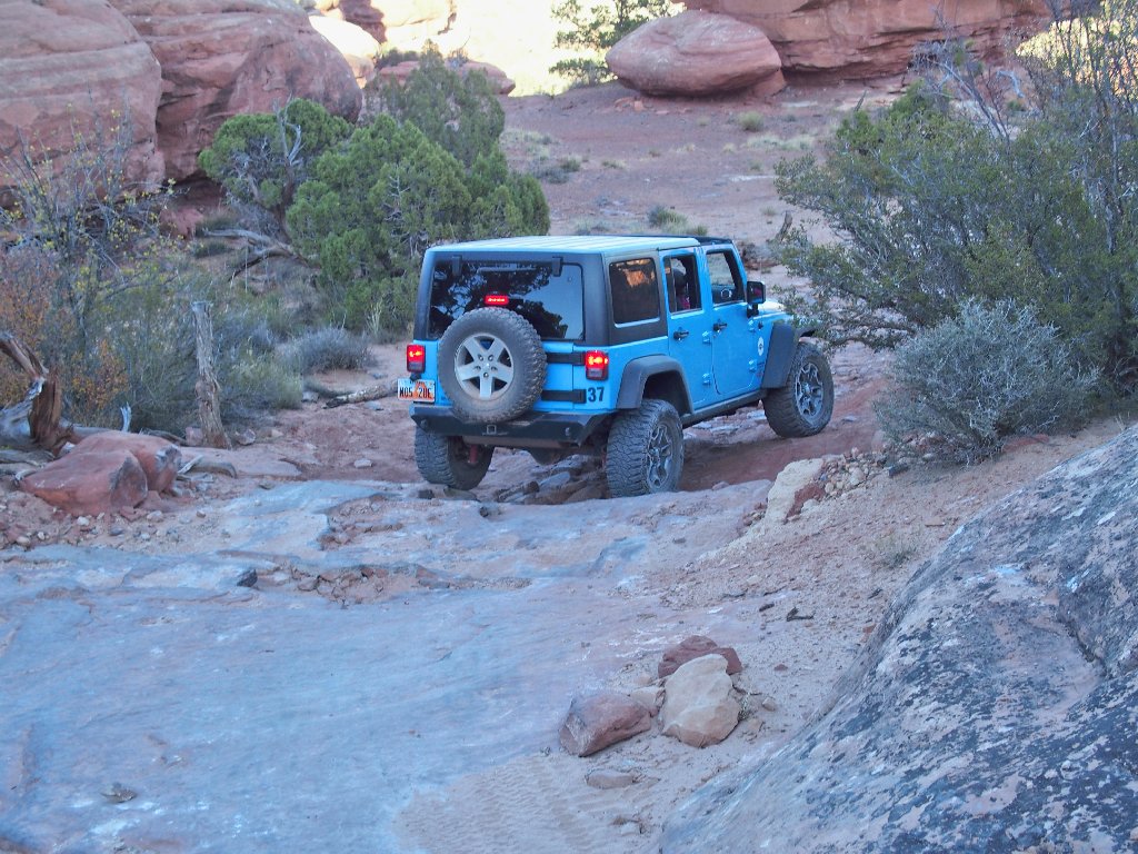
The last several miles of this access road are unpaved but friendly, to the staging area for one of the most popular ORV routes anywhere. Beyond this point, technical driving and a suitable vehicle are required.
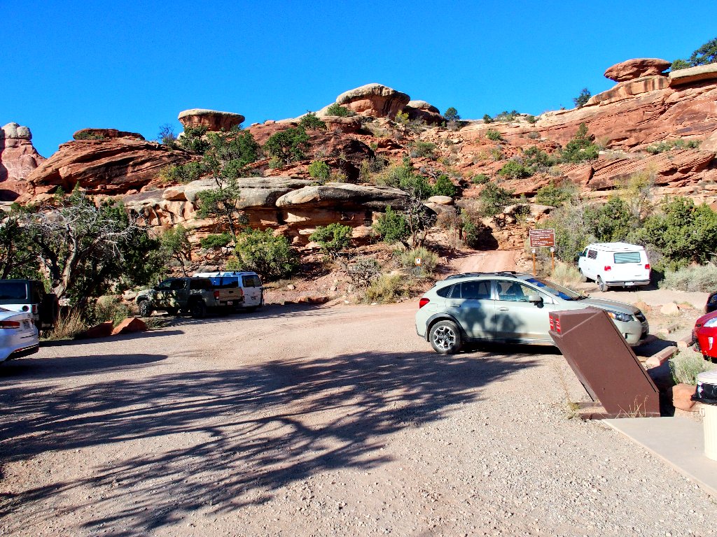
I will walk from here
In 2005, My Barbara and I did that very jeep tour with an
outfit called NAVTEC out of Moab. Alex drove us and two
other women over Elephant Hill in a Chevrolet Suburban, down to
the Joint Trail, after taking a couple of nerve-relaxant
pills right here at the start of the technical route.
That was in my pre-digital days, however; so I have no
particularly good photographic memories of that occasion.
That's why a revisit to the Joint Trail is a must-do venture.
⇔
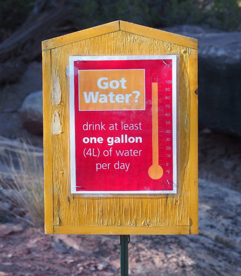
I have packed 64 ounces instead of the usual 48
I am using other than my normal backpack, because this one holds
liter-size bottles. It is expected that there will be
no opportunity for a fill-up along the way. I also do
a bit of water-doping by guzzling most of a bottle in advance.
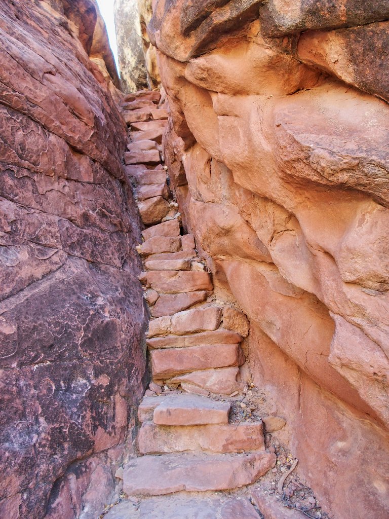
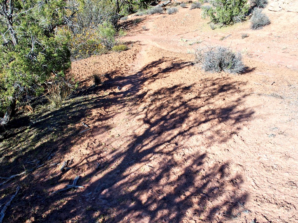
An interesting way to begin a hike
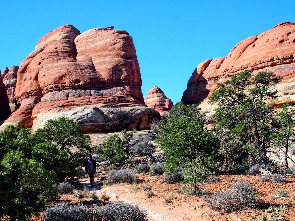
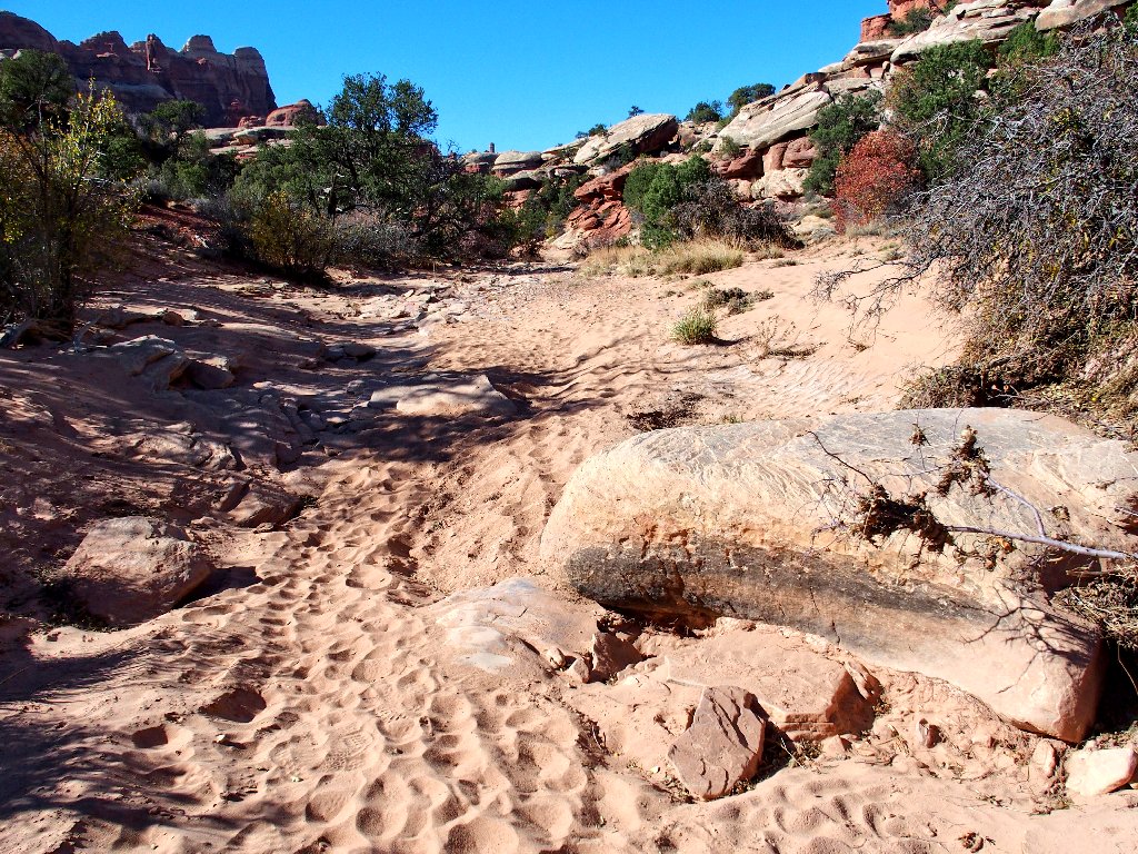
Easy going so far
Lots of time will be spent on slabs today
She is on a mission of her own
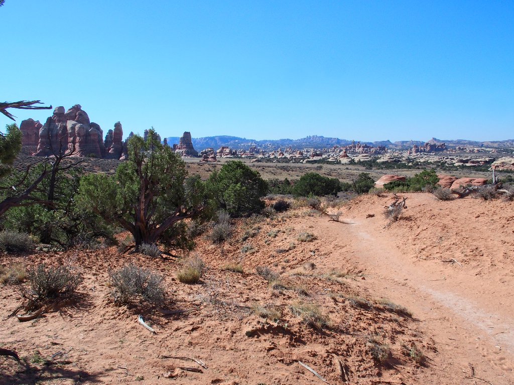
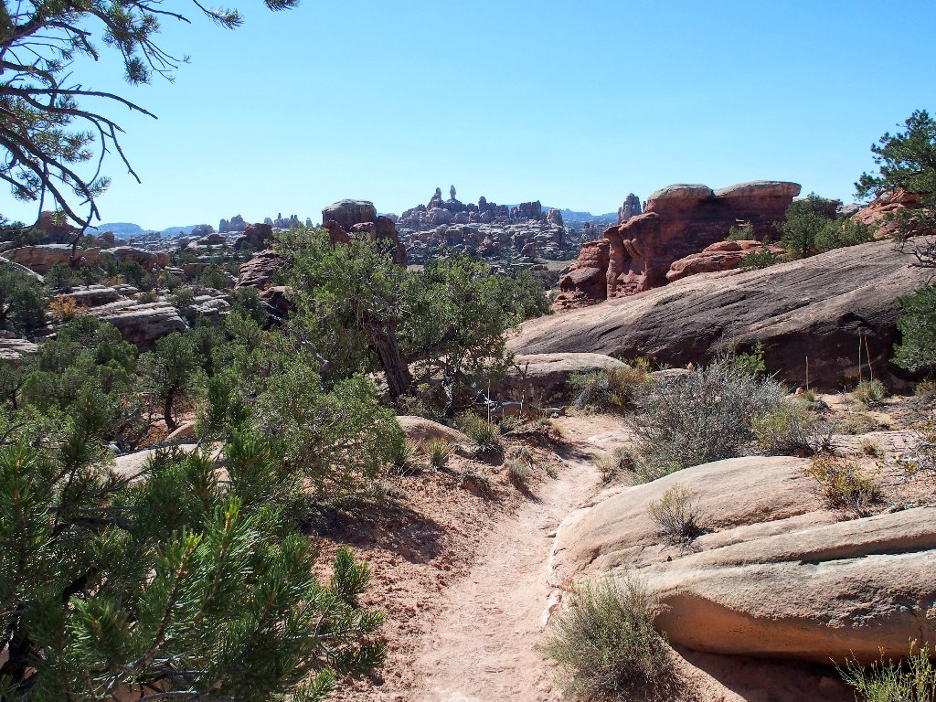
The trail leads over there
Four years prior to the jeep tour, Barbara and I had hiked to this point. I could see the trail heading over toward those fascinating formations, and I was anxious to go there. It was quite hot out that May, though, and neither of us was enjoying that fact; so we turned back here.
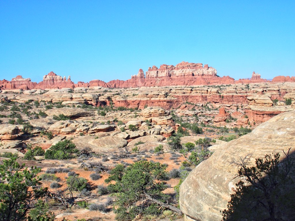
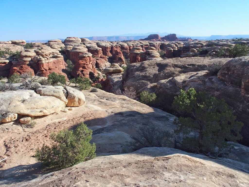
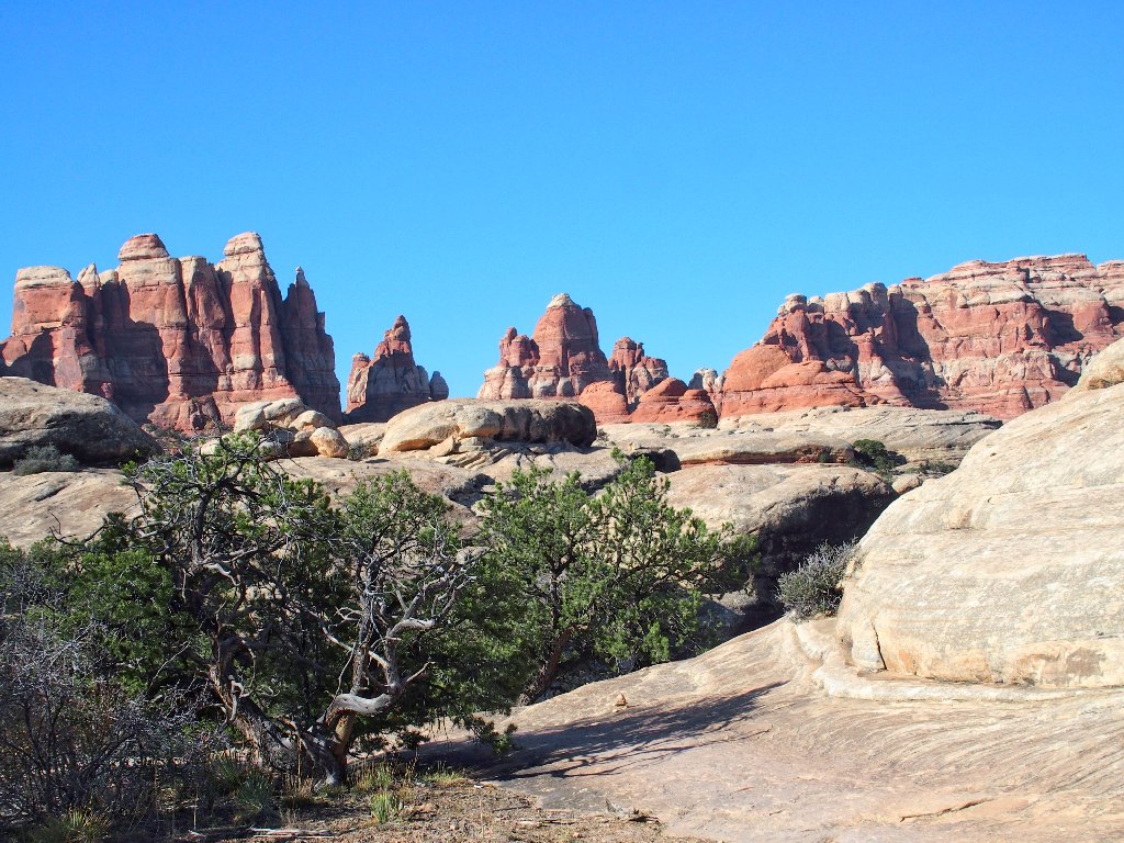
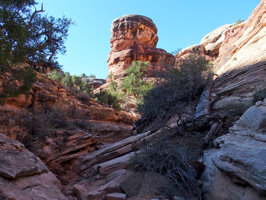
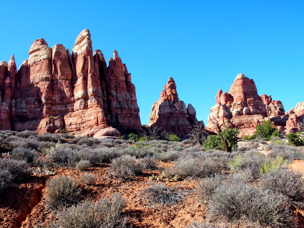
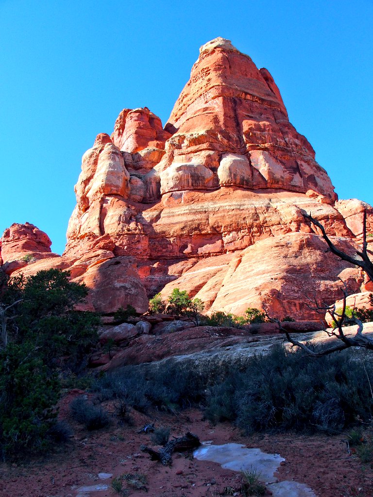
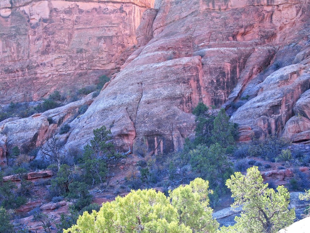
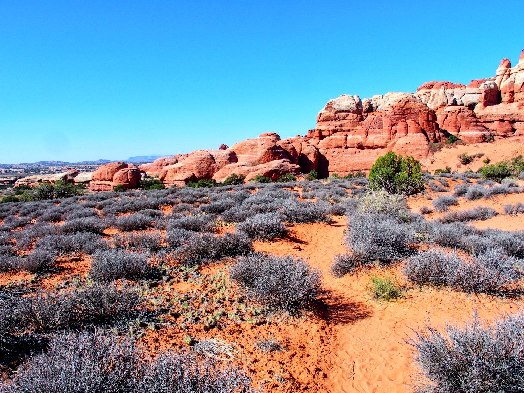
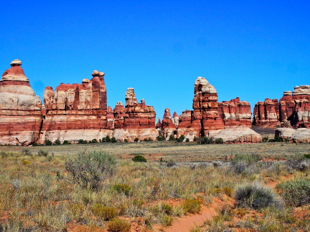
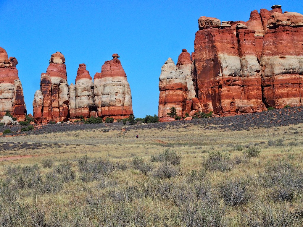
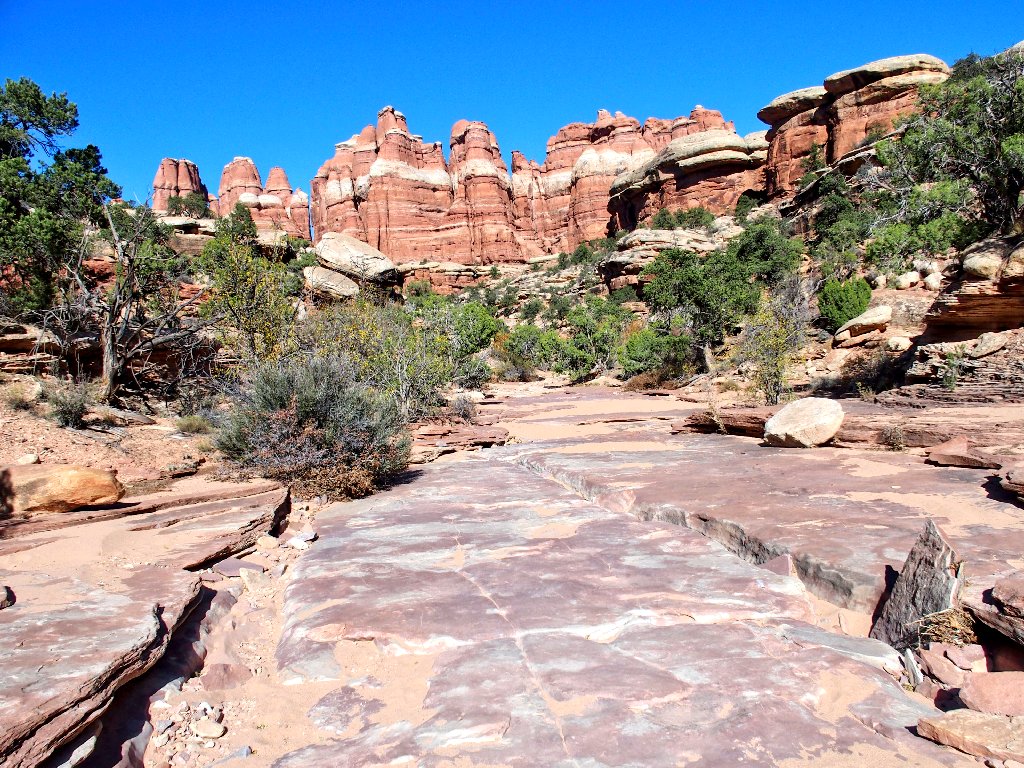
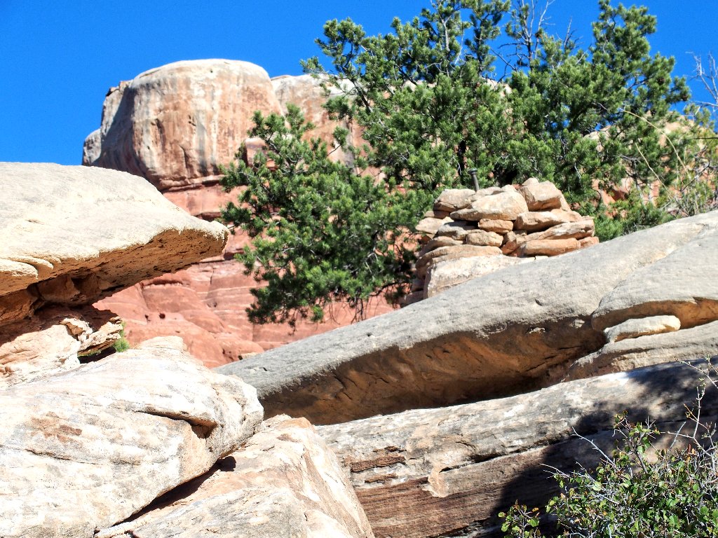
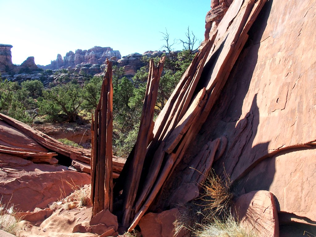
The scenery is magnificent
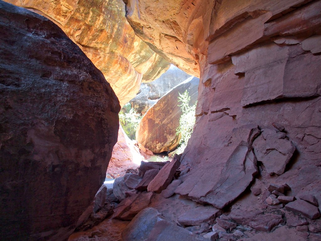
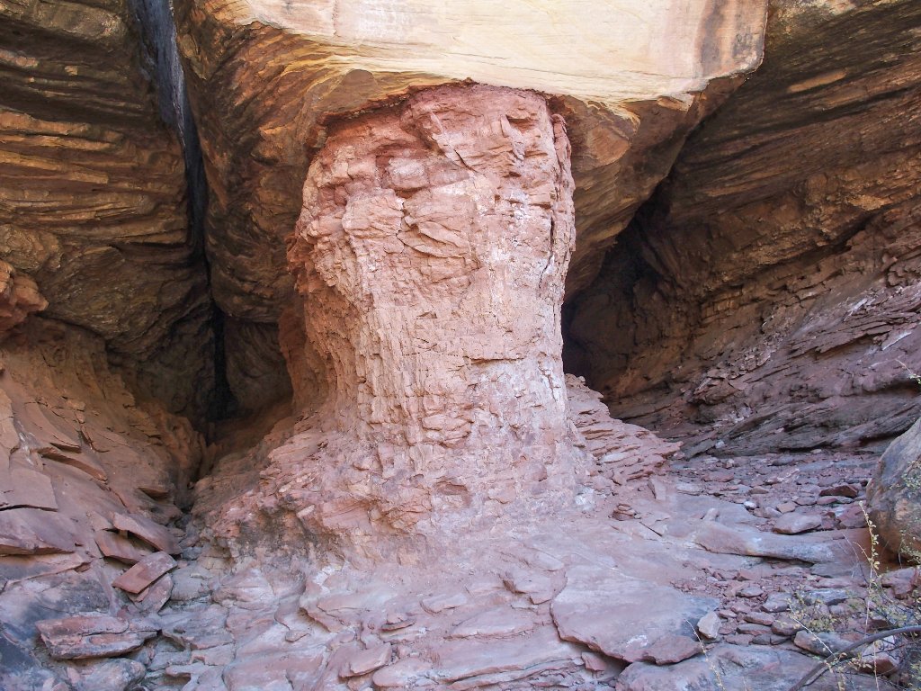
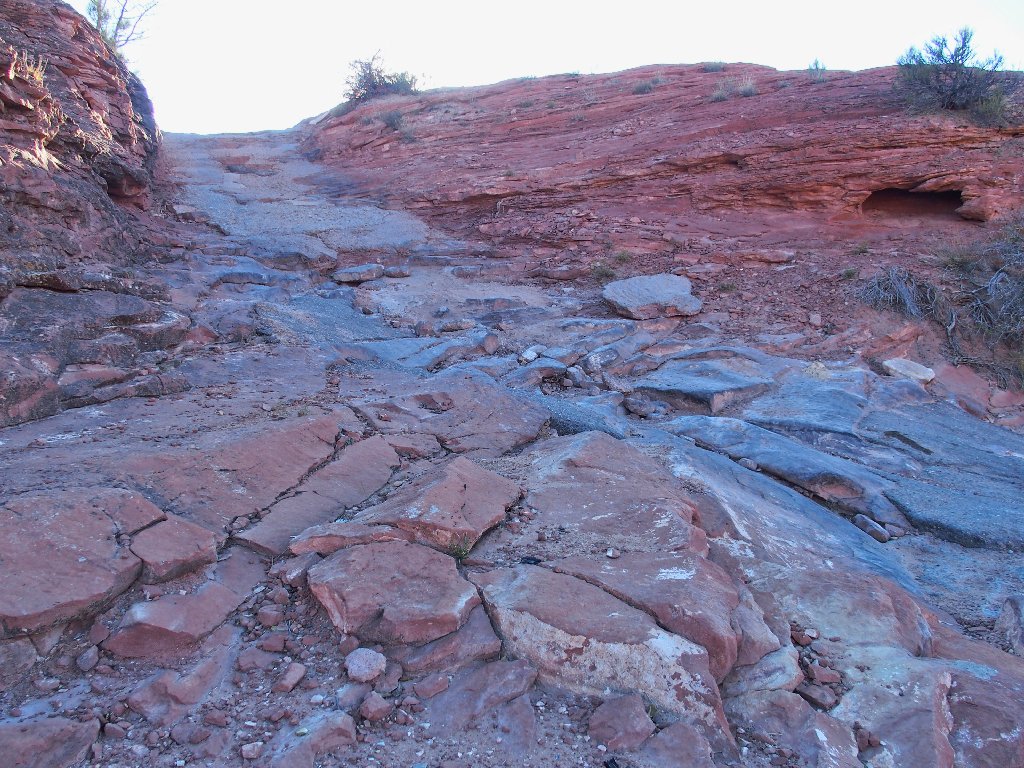
The first challenge is at hand. On my prior visit, I had looked over here and thought that it would prove exciting, which it is.
Approaching the obstacle
Is there a way through it?
Yes, there is
That was wonderful! May there be more such places.
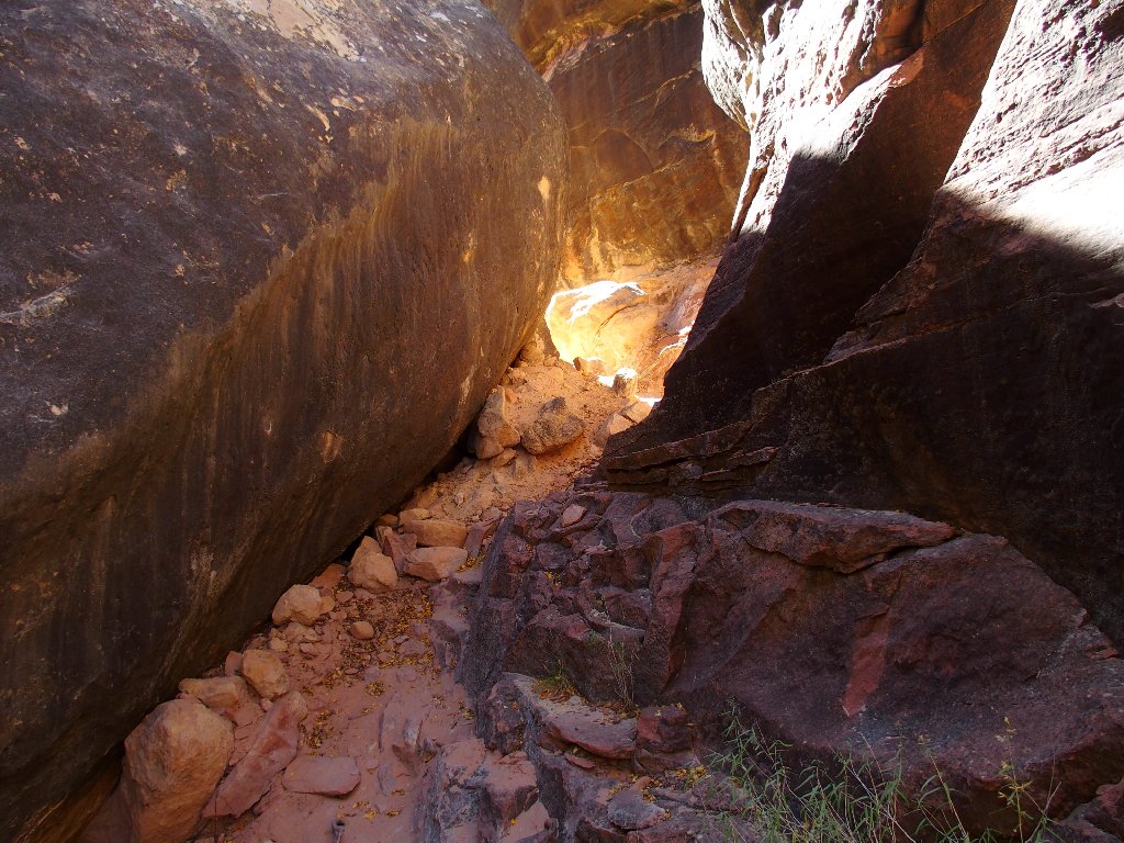
The plot thickens
It isn't long before I get my wish.
Another passageway...
...another solution
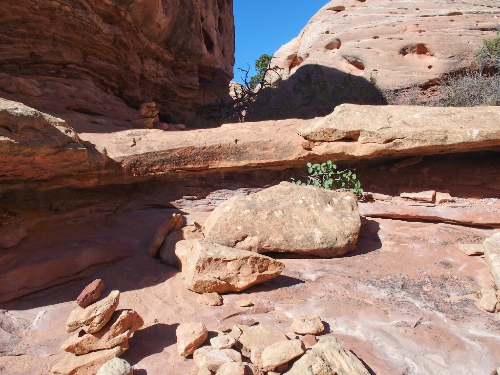
This tricky channel actually contains the backpacks of three guys who have stashed them temporarily in order to scramble around on the rocks above.
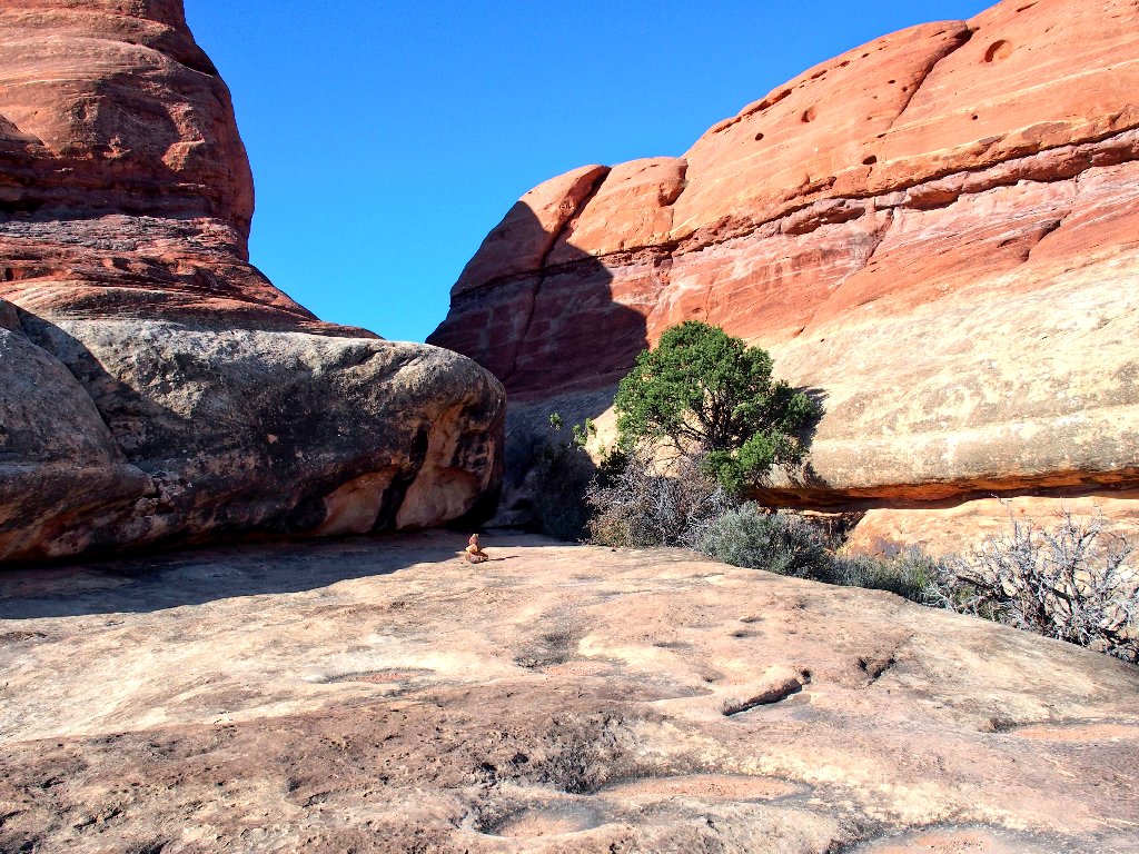
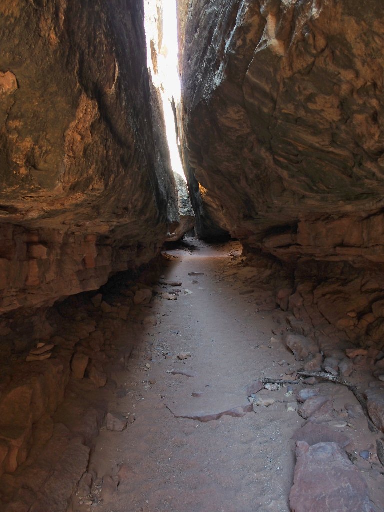
What will be next?
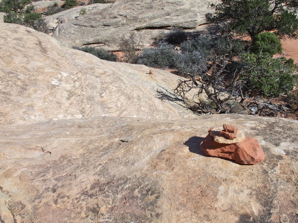
Cairns point the way
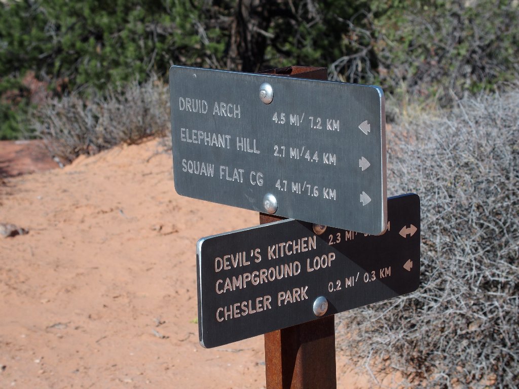
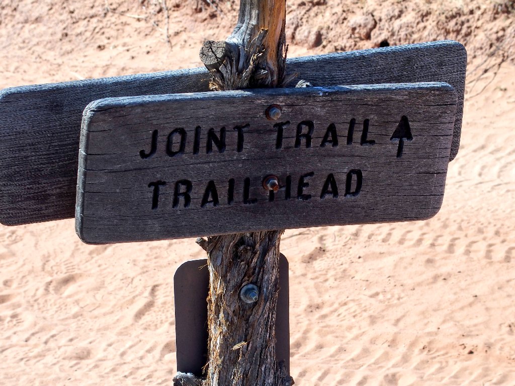
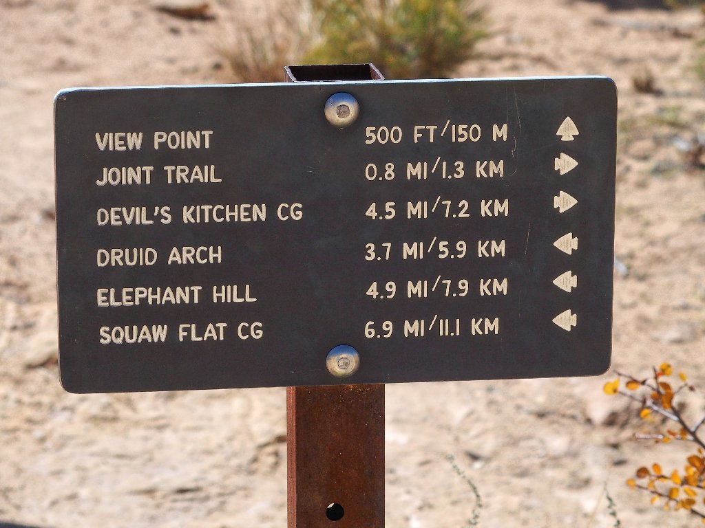
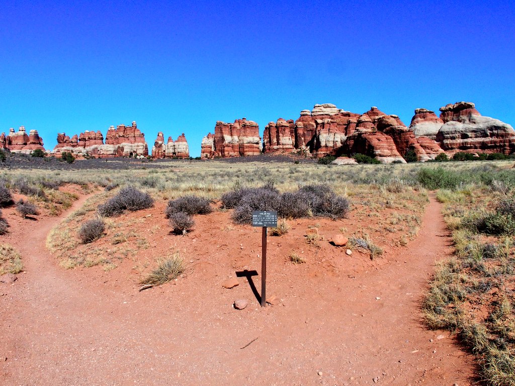
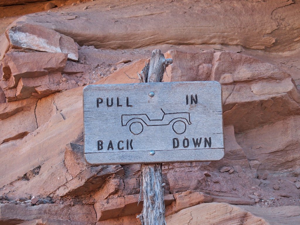
There's a signpost — always welcome
Little did I know how prophetic that caption would prove to be,
as I begin my planned counter-clockwise lollipop loop.
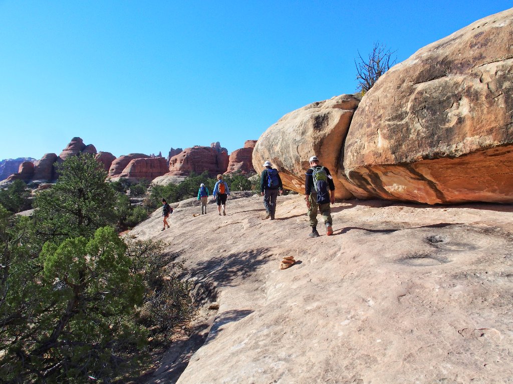
Continuing westward
Yes, this is the way
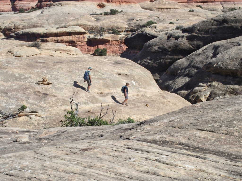
The couple that has been just ahead of me for a while is perched upon the boulders above. I should be there soon.
That proves not to be the case, however; for I promptly lose track of the trail. After a couple of false starts, I take the trail heading northwest, expecting it to turn southward soon. After ten minutes it becomes clear that that is not going to happen, so I must retrace my steps.
It's beautiful, but I'm going the wrong way
Not this way
Not that way, either
After wasting nearly half a mile of walking, a group of hikers comes to my rescue. The leader points me back, saying that I have just missed the junction.
The good folks head off where I was not supposed to go
(Note the 'posterized' condition of that last image. That is how it came out of the camera. I must have selected the 'Special Effects' option by mistake.)
The desired route is through that cleft on the left
There is is
How could I have missed this one?
Now I am back where that couple was standing previously. Why didn't I just follow them in the first place?
That guy seems to know the way
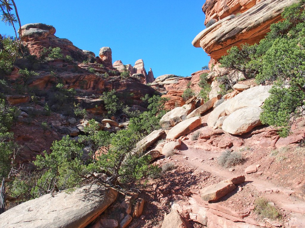
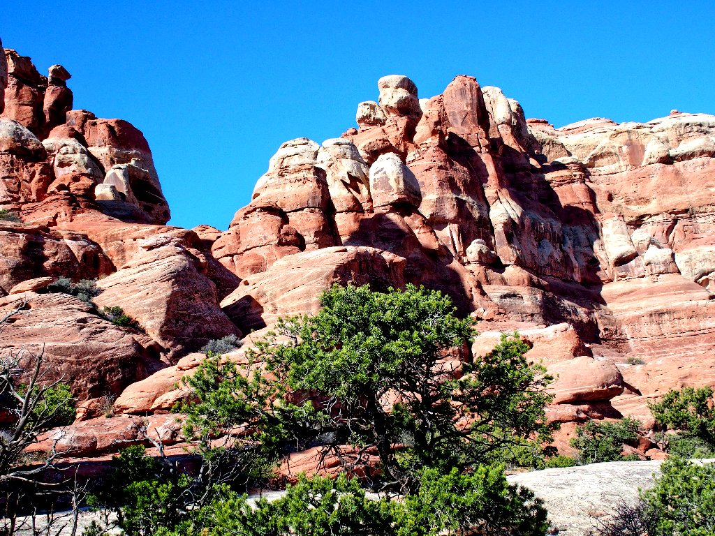
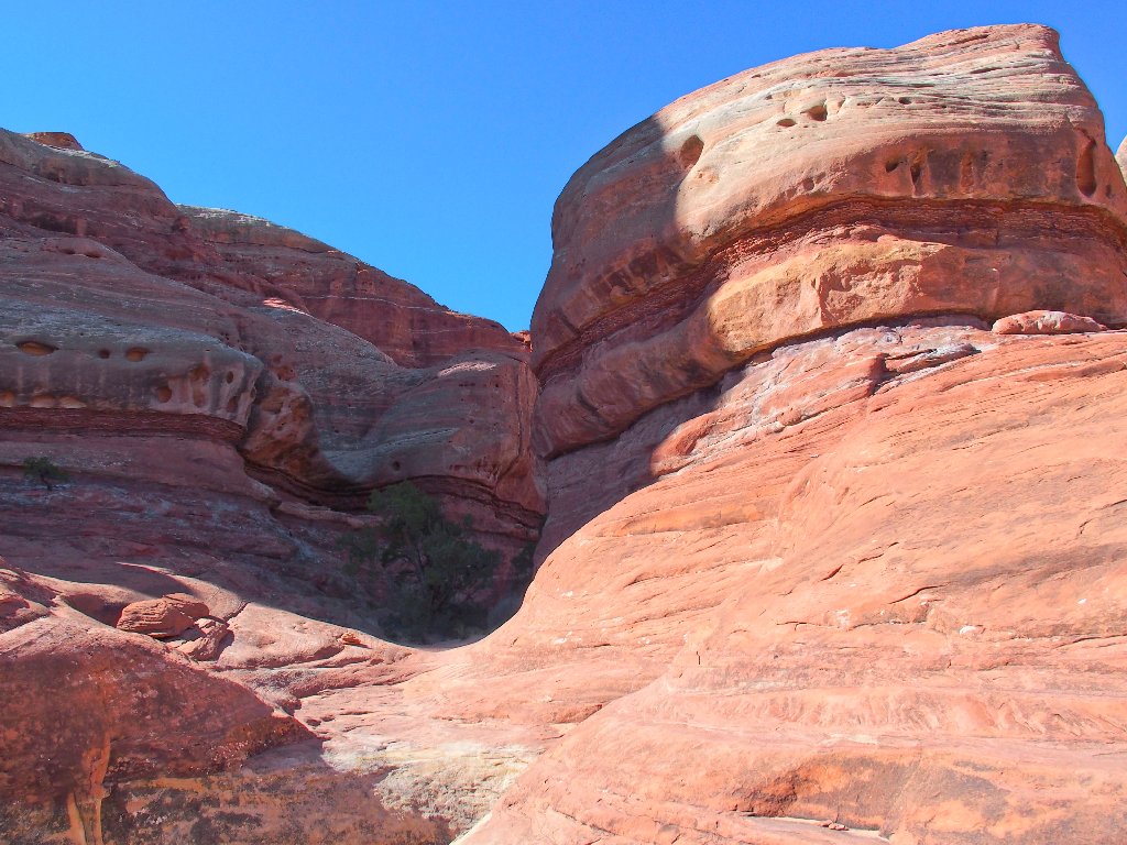
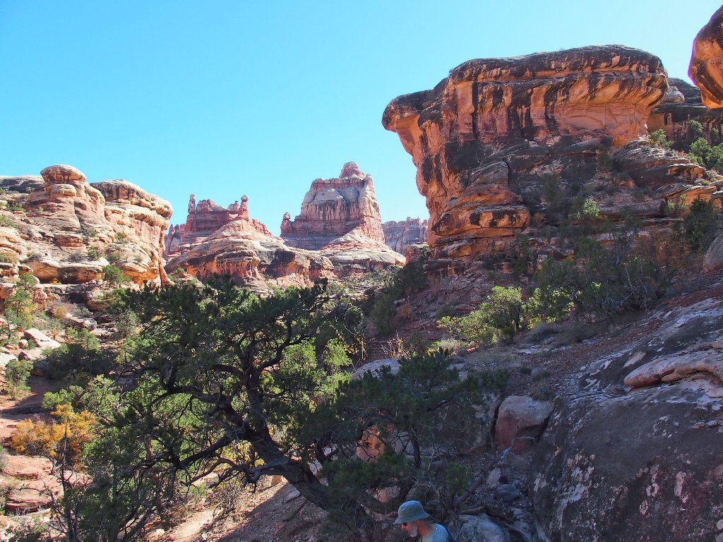
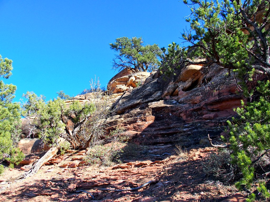
On the far side of this summit the scene opens up considerably.
Perhaps the route-finding will be easier now
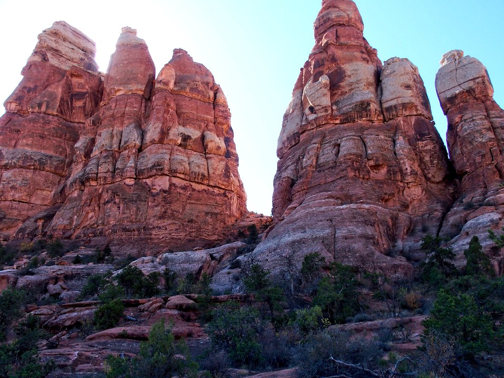
I seem to recall from my jeep tour that the formation ahead resembling rabbit ears is a significant landmark.
Still no sign of a roadway
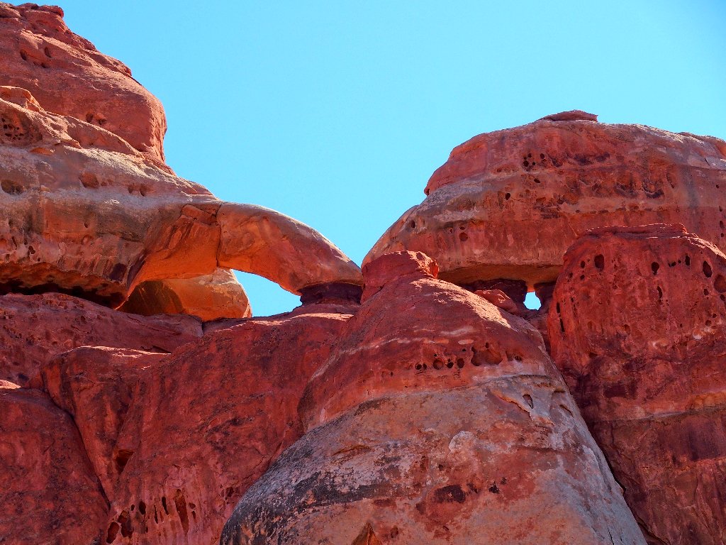
A pair of arches above
A different perspective
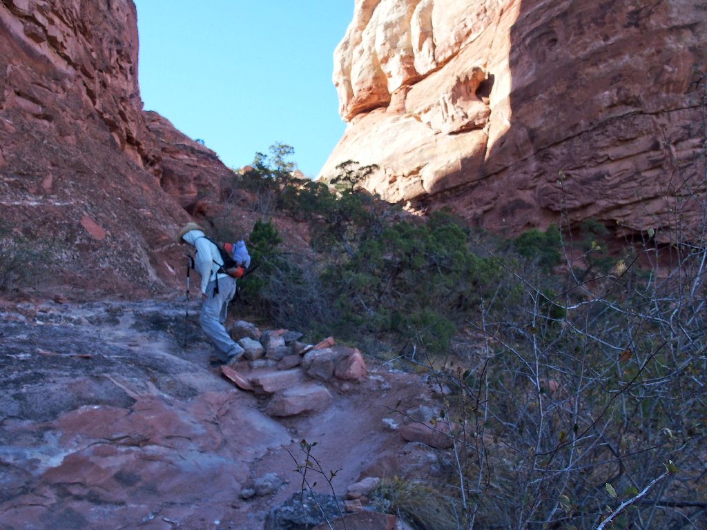
It's warm and dusty through here
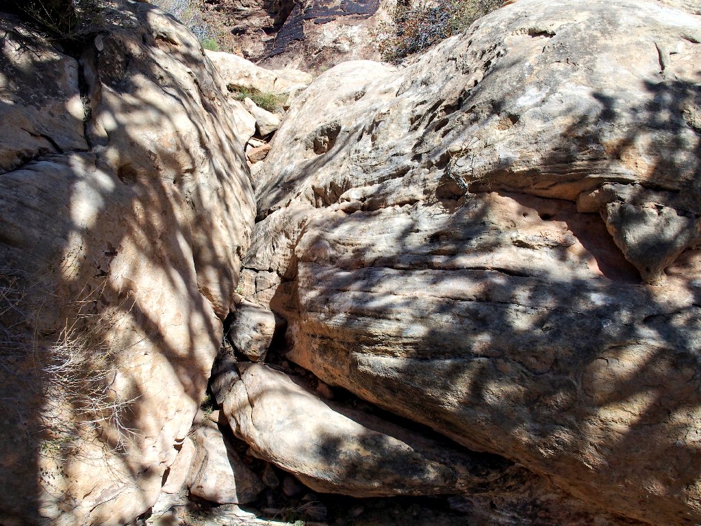
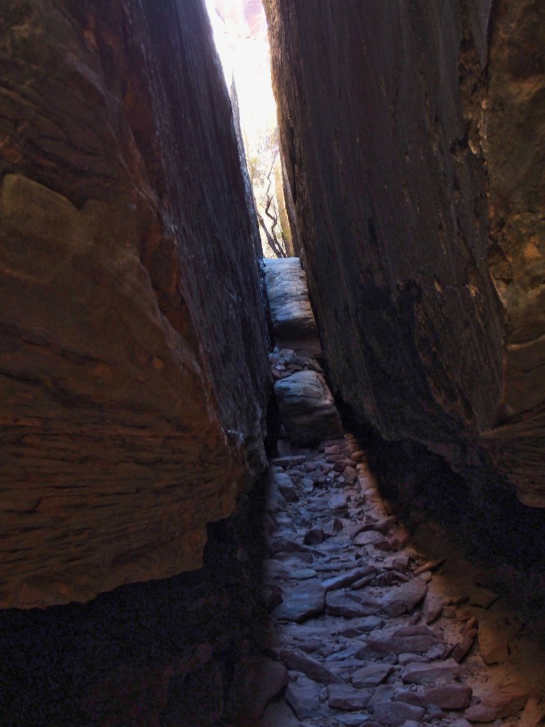
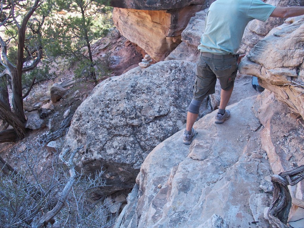
Yet another tricky passage
There barely is room
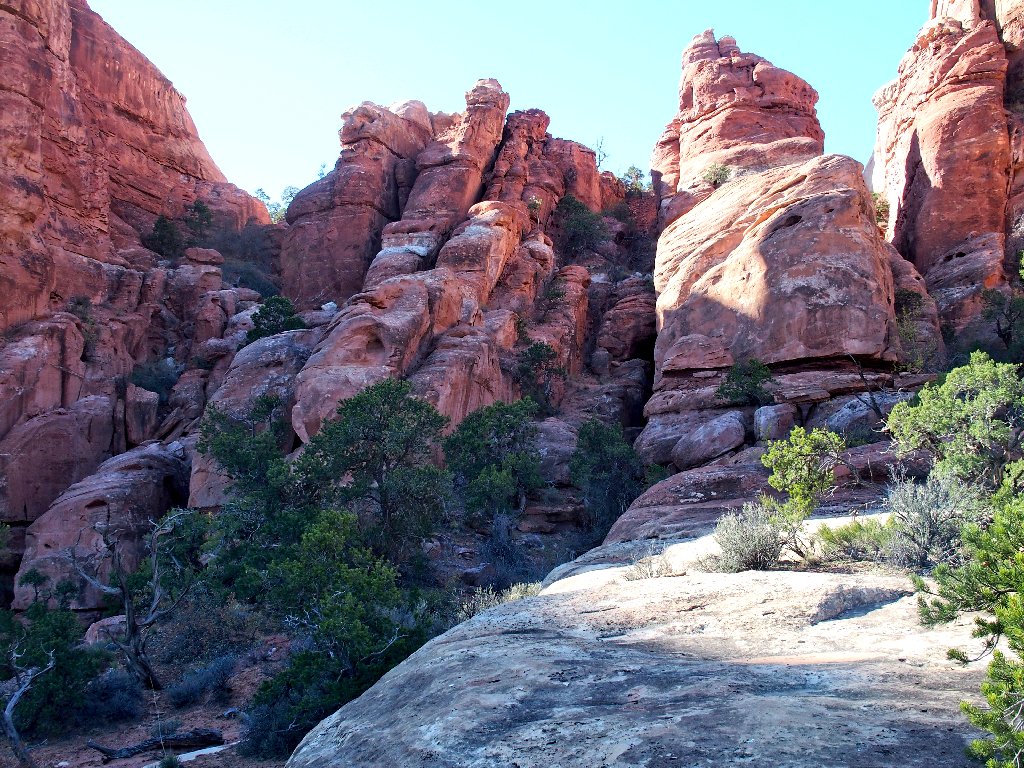
A complicated scene unfolds, revealing that there still is a lot of work to do
I can see Elephant Hill Road over toward the right
The route becomes ever more contorted
Coming down that slope was more challenging than it might appear
Negotiating such places rates to be a lot easier to anyone familiar with
the route; but a first-timer such as I must follow the cairns religiously,
having no idea in which direction they might lead.
The beacons are dead-ahead
Suddenly — success! I have found Elephant Hill Road.
Now we're cooking!
Easy walking on the sandy two-track
After yet another mile of tramping:
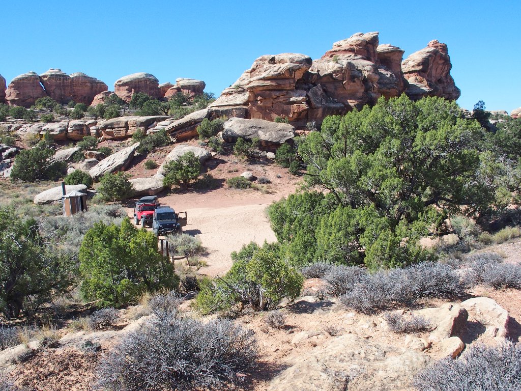
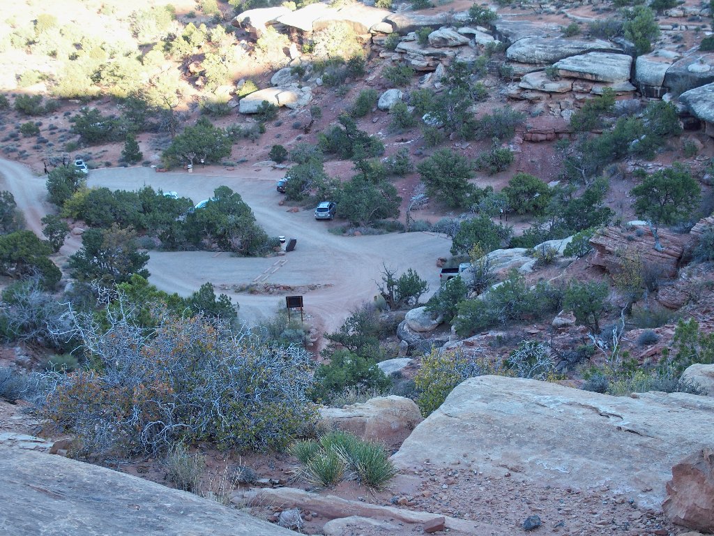
The Joint Trailhead
This was the terminus of our former jeep tour as well. The well-worn
picnic table on the far left is where our driver Alex had prepared a lunch for
his four passengers. I head over there to reminisce a bit at this, the
half-way point of today's trek.
Departing the picnic area
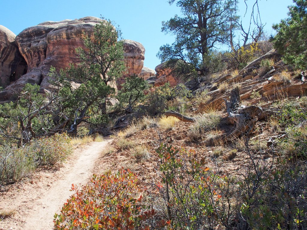
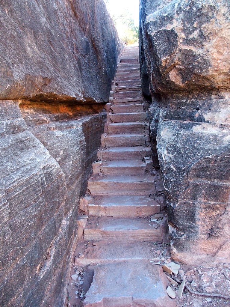
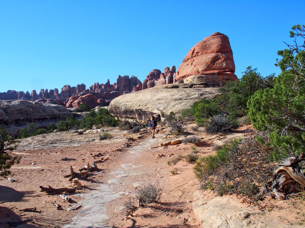
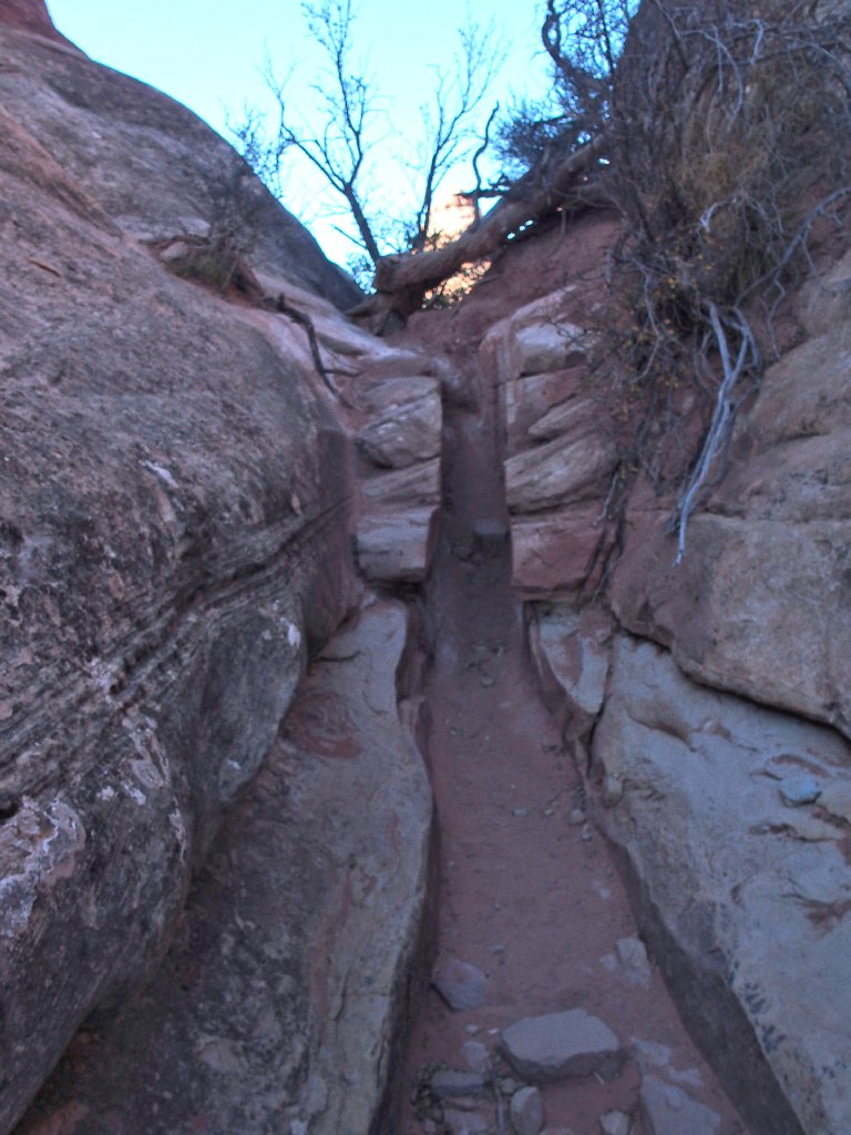
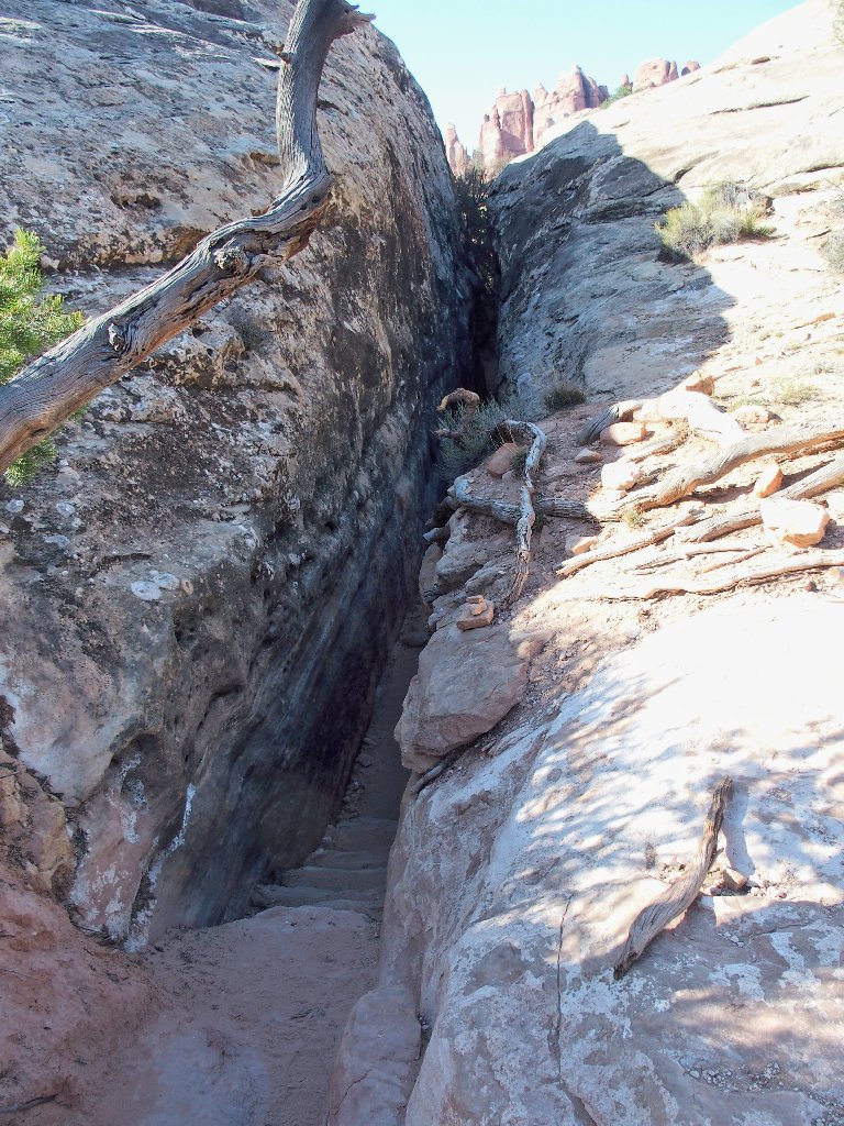
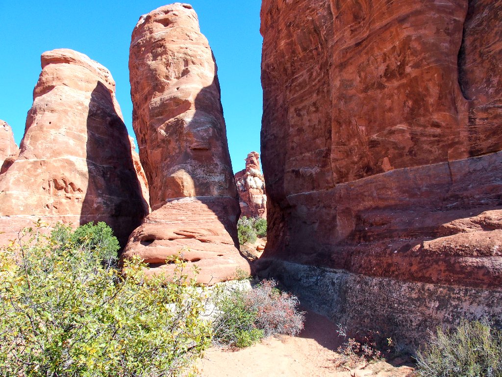
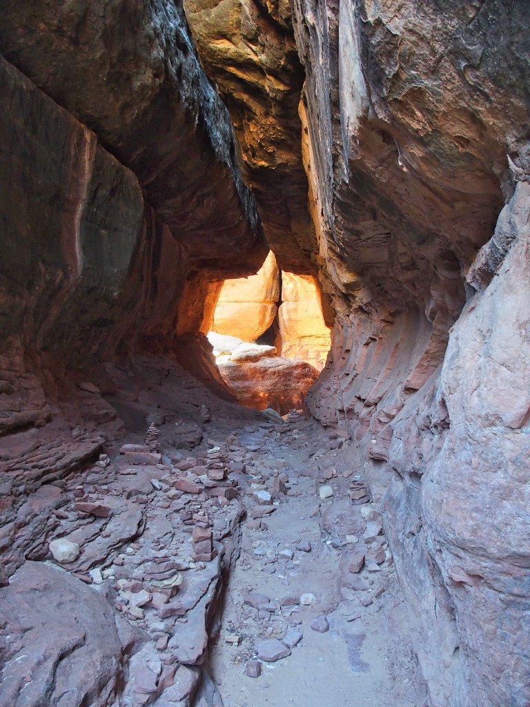
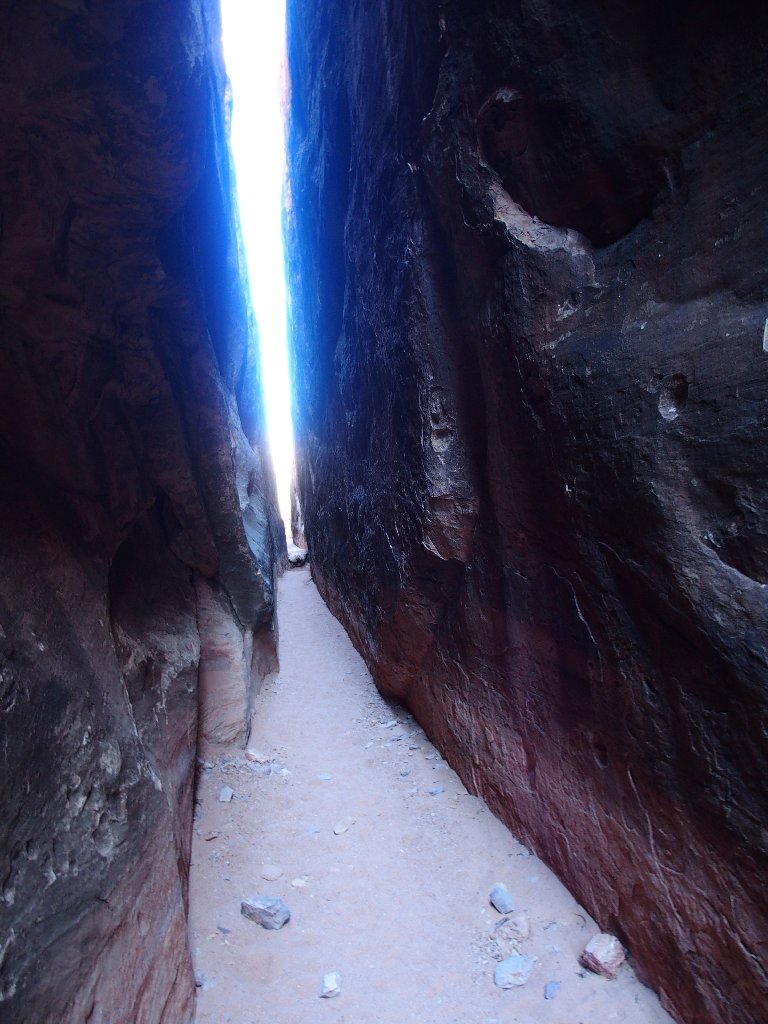
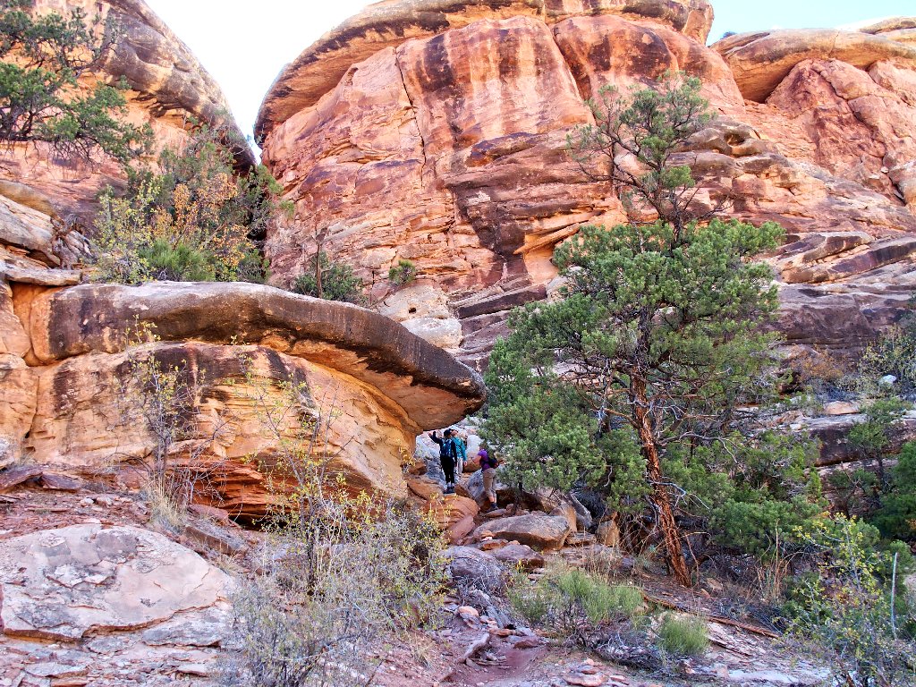
Starting up the Joint Trail
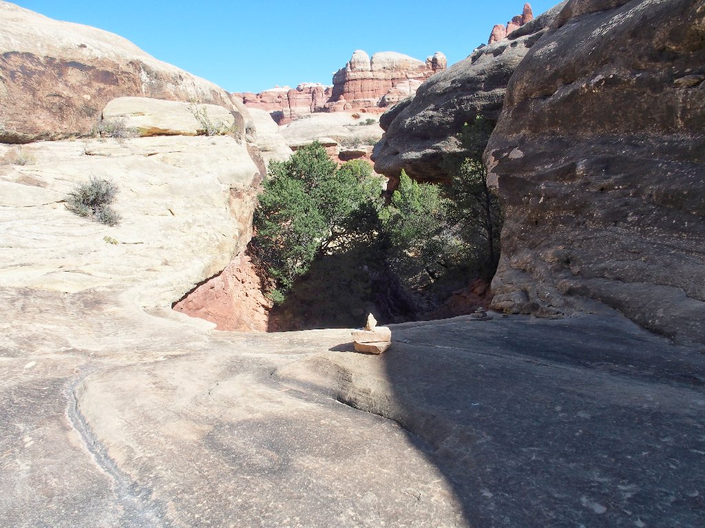
It has to be up here somewhere
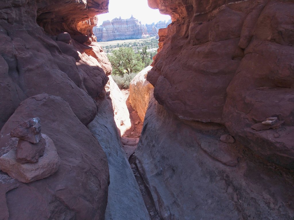
Aha! The fun begins
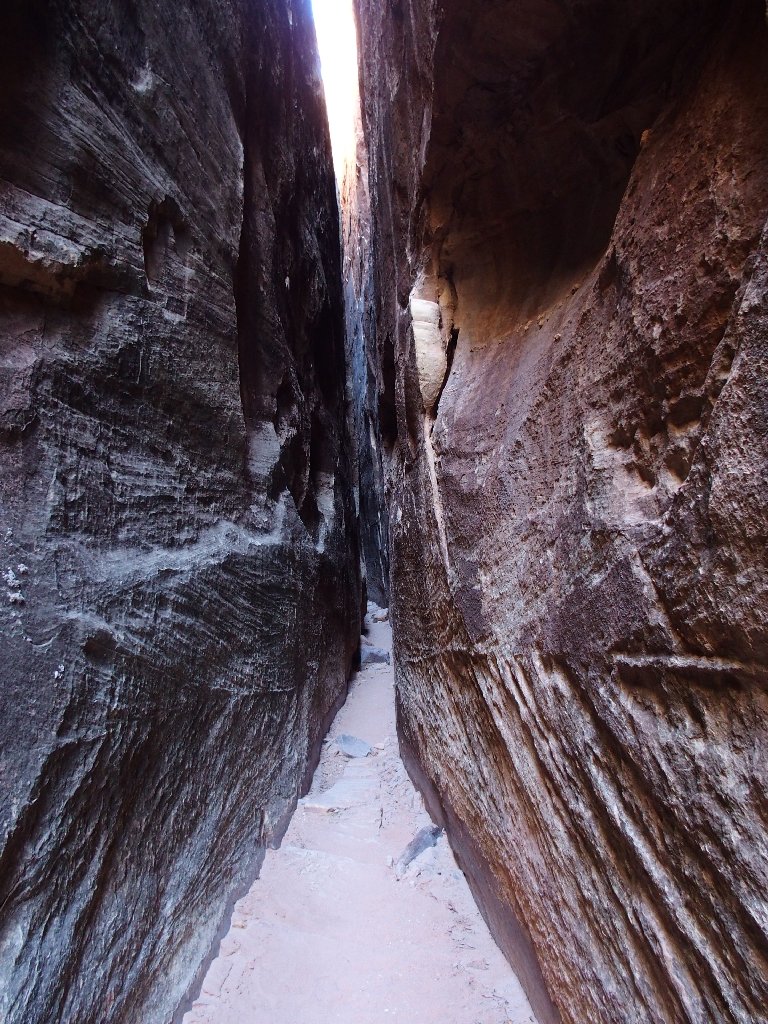
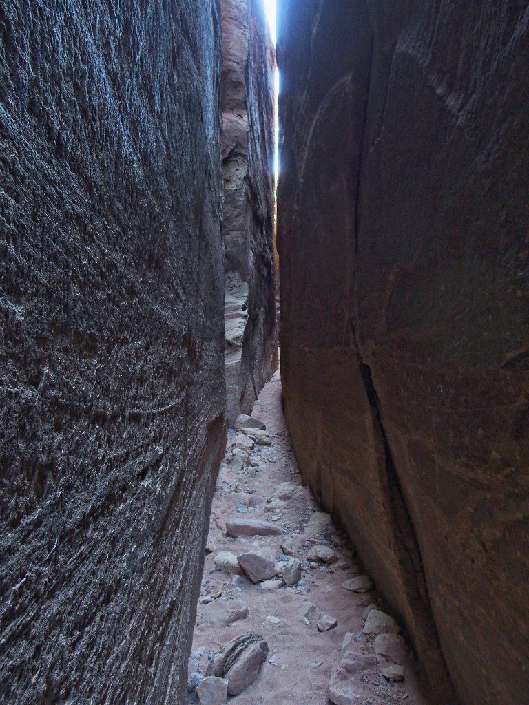
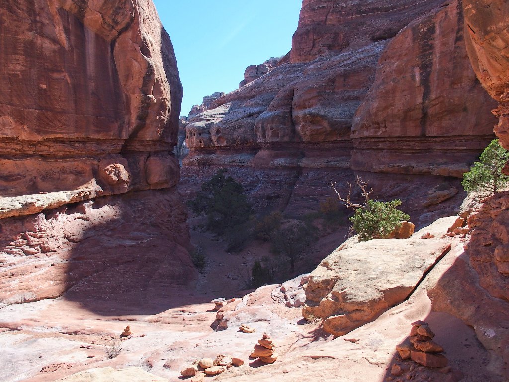
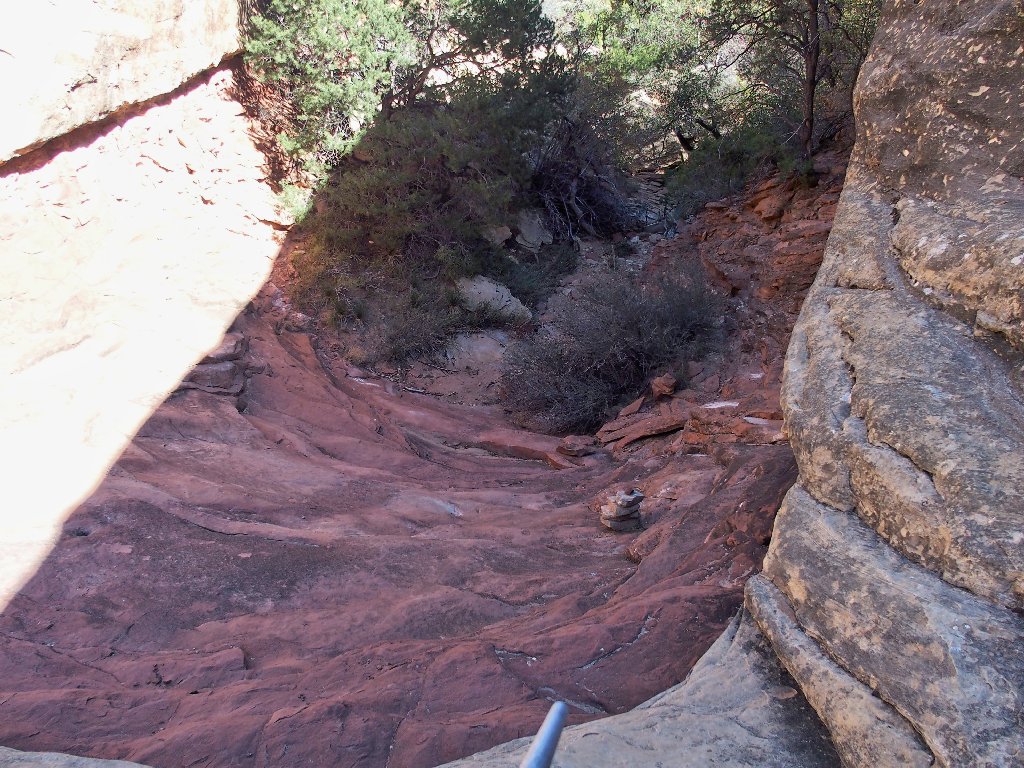
Entering The Joint
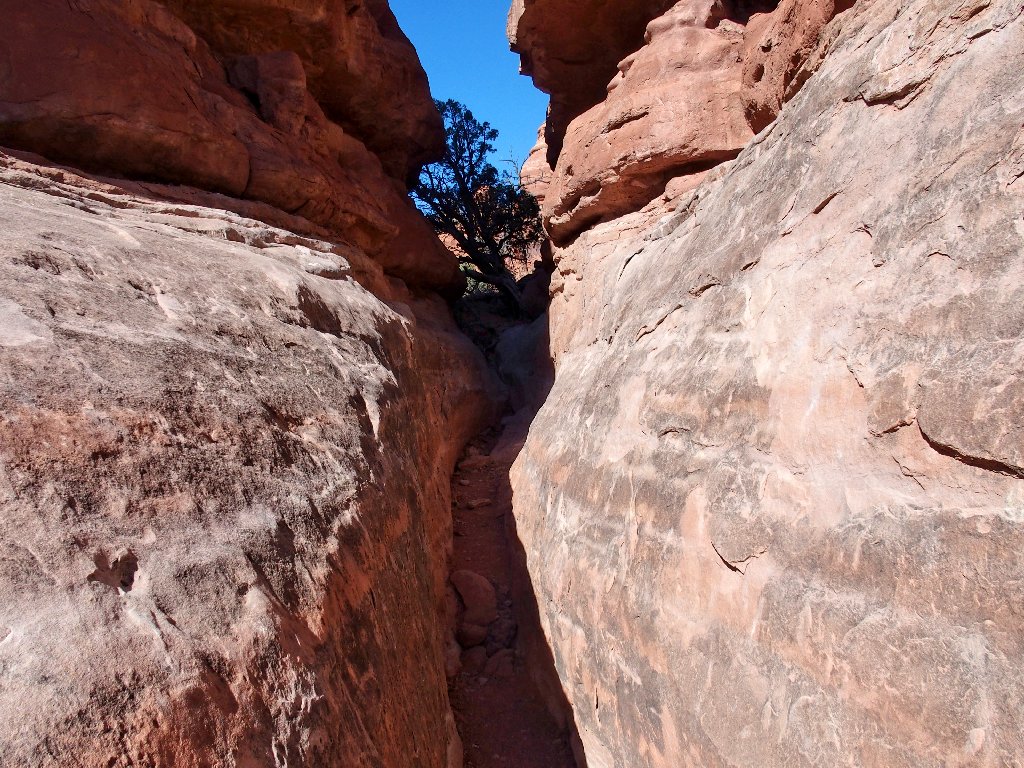
The cairn garden is mercifully depleted today
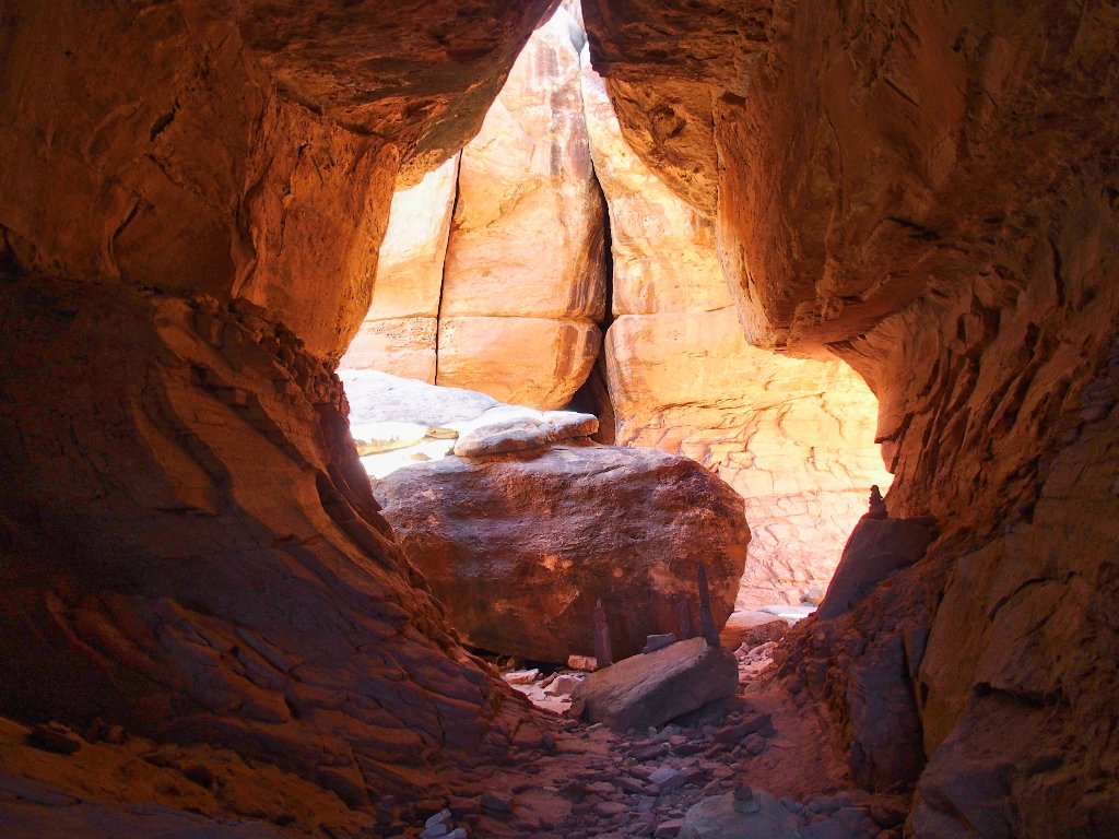
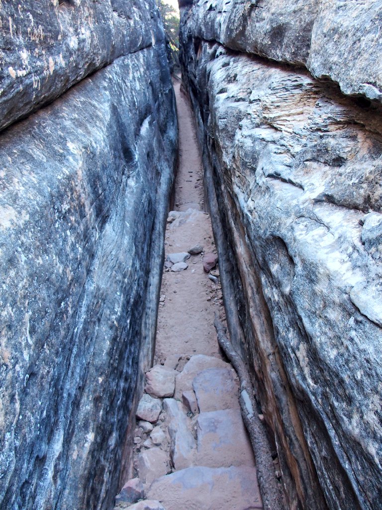
Delighted finally to be here again
Lots of color
The namesake joint finally appears
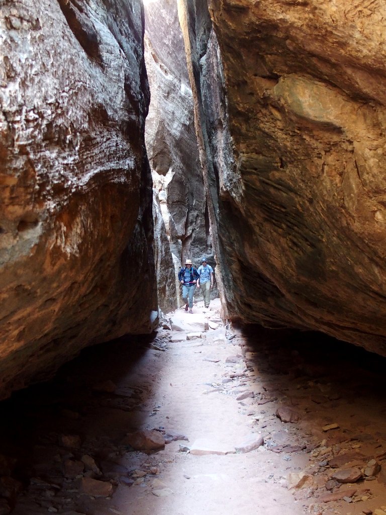
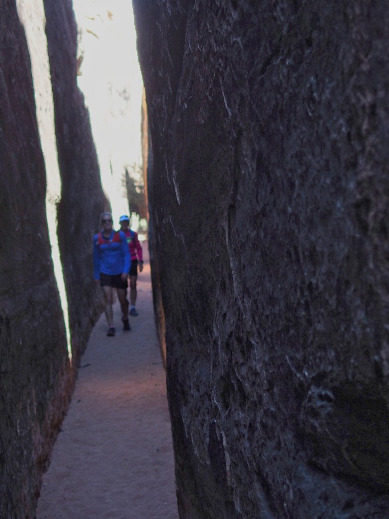
Company arrives
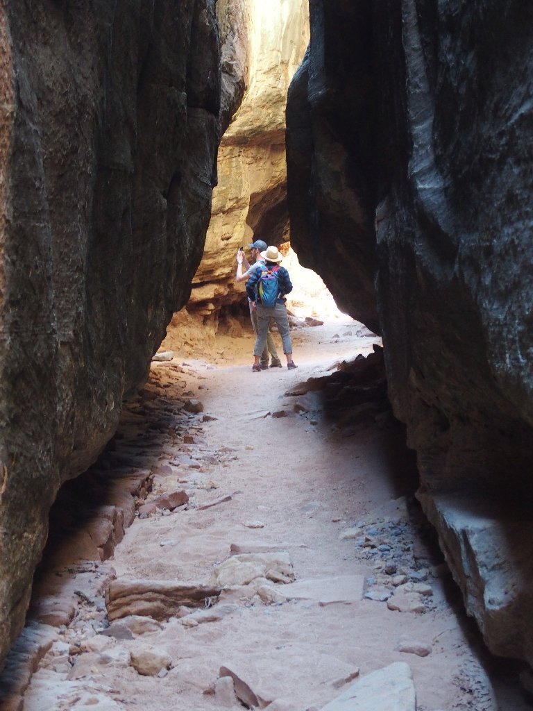
There barely is room to squeeze through
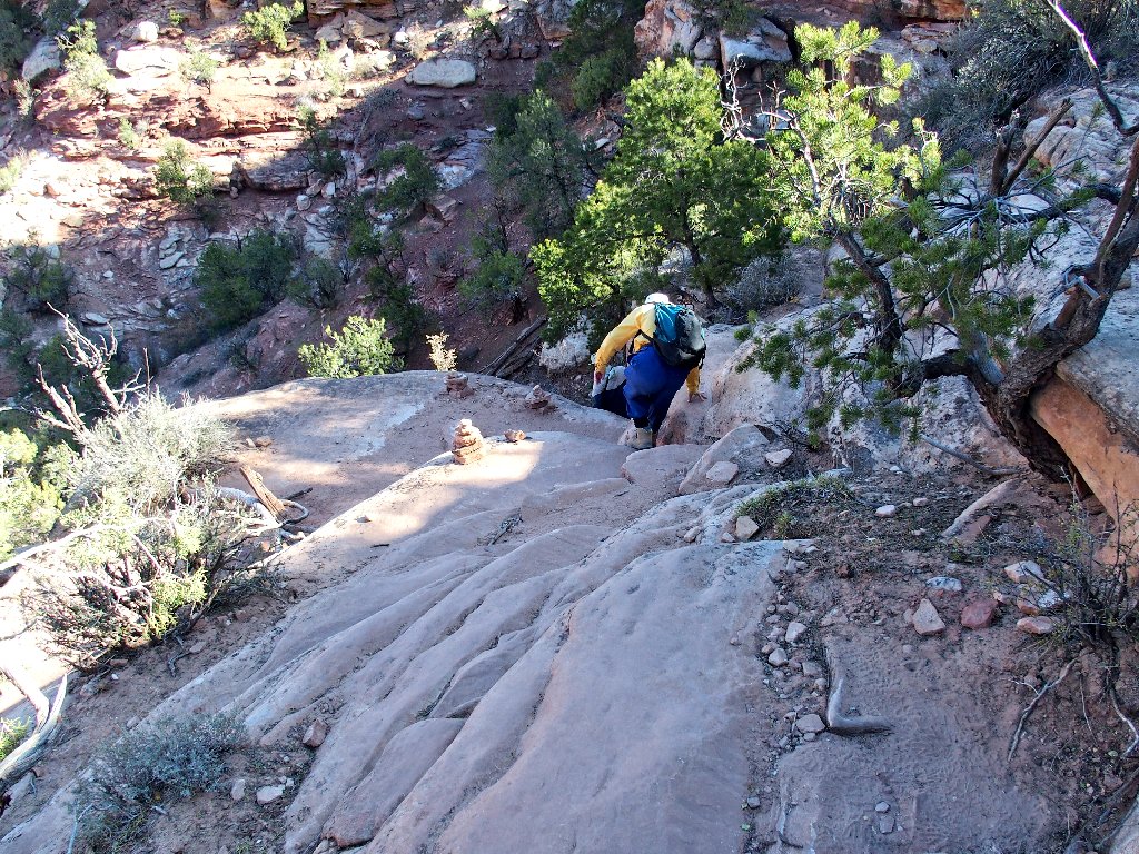
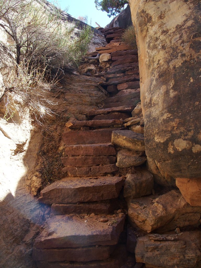
The crux of the mission is at hand. I remember this spot from before. I had to push one of my companions up here by her butt, because she could not make it unaided. I surely don't remember it being this problematical, however. My recollection is that the ladder reached all the way up to the chokestone. Now that little thing is useless, except possibly for handing a backpack up to someone.
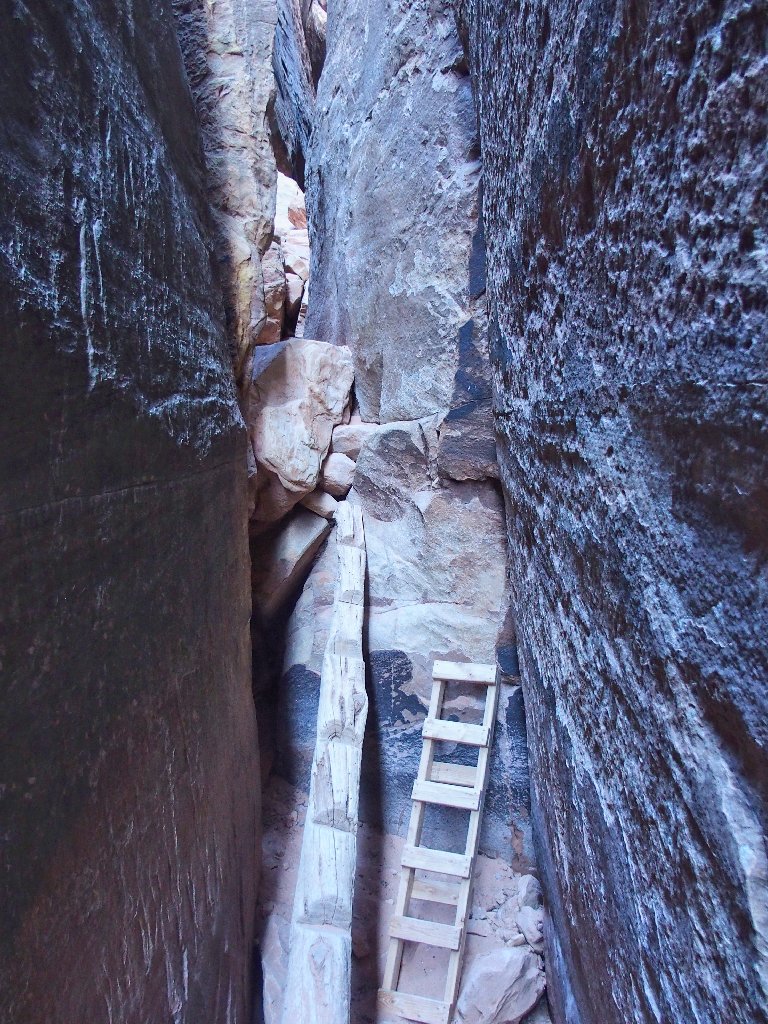
Not your everyday hiking challenge
There is nothing for it but to utilize the log with the cutouts. This proves not too difficult, because I can balance myself against the stone wall to the left.
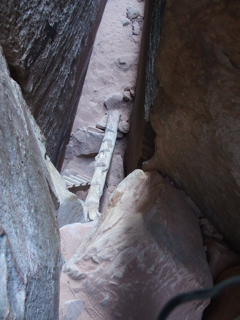
Looking back down
In retrospect, I cannot recall how my sweet bride-to-be
ever made it through here at all — and back down as well!
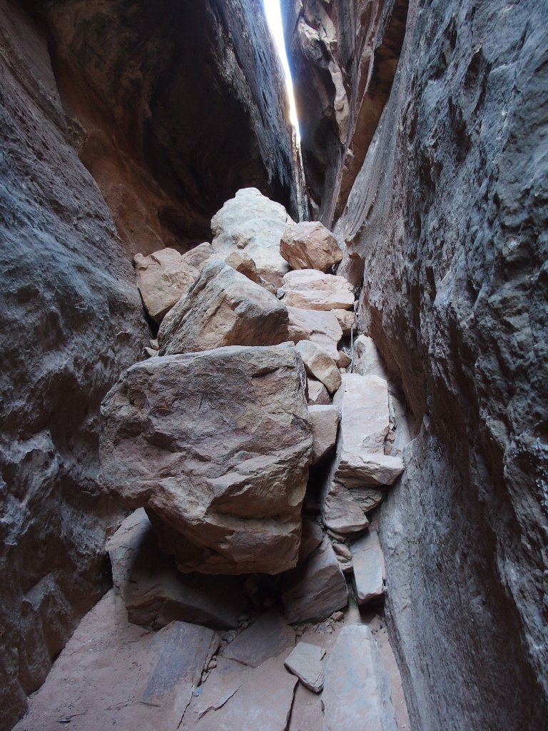
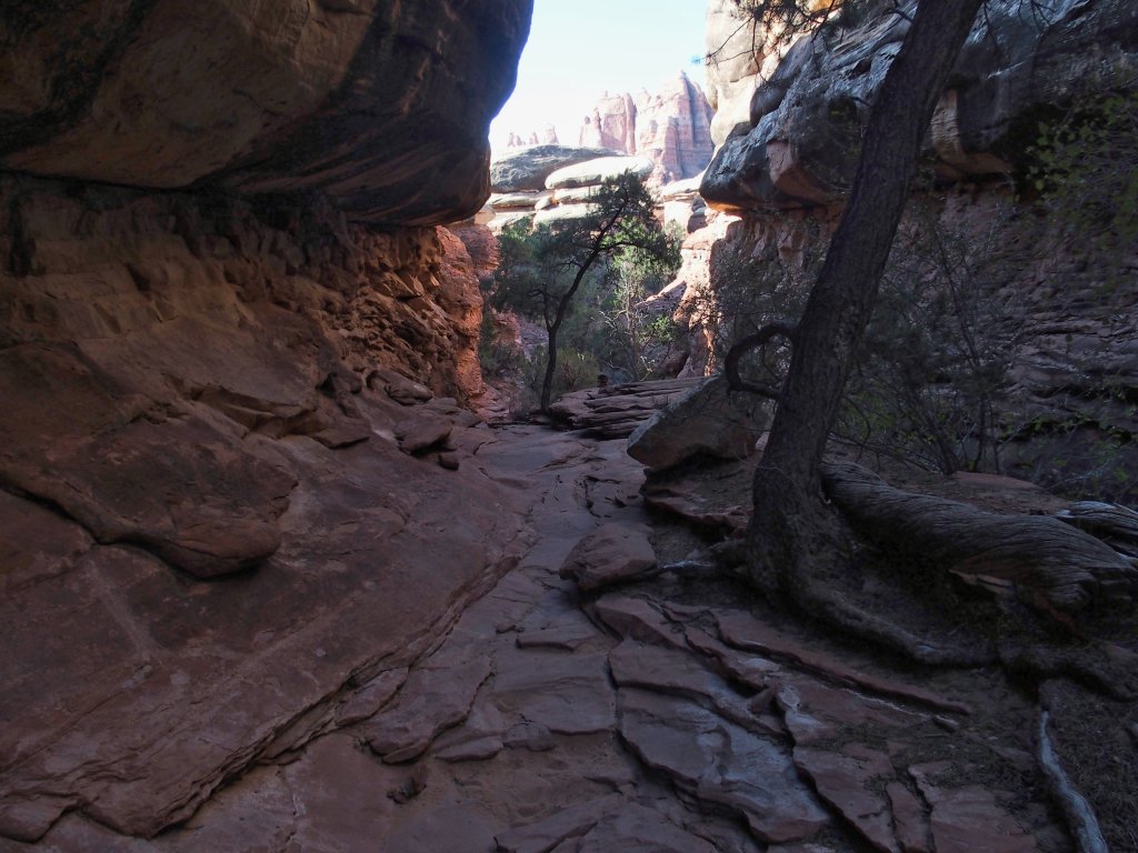
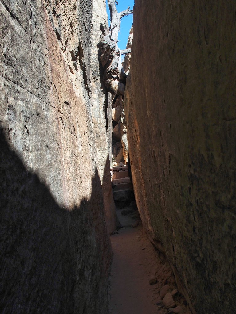
More obstructions to clamber over
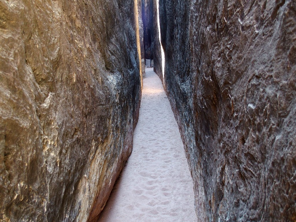
There is light at the end of the tunnel
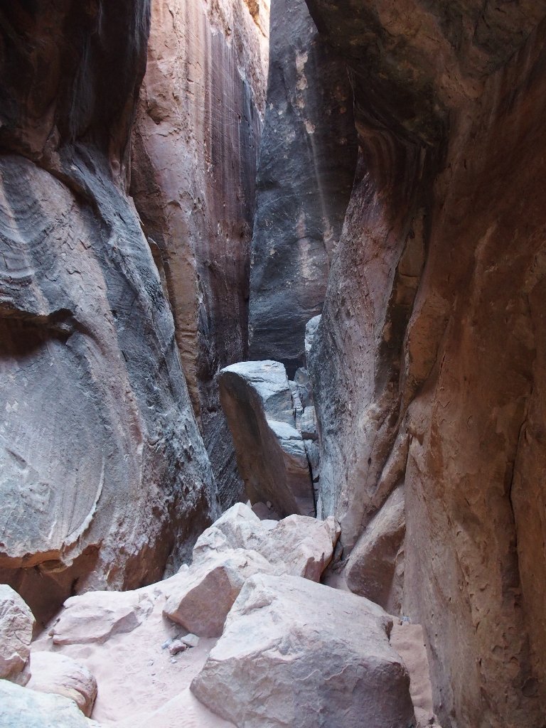
It's pretty easy walking now
What a fun place!
Nearing the finish
End of the marvelous Joint Trail
Well, I see that it's five miles back from here, which seems like a lot; but it was expected, and in any case my feet are feeling just fine.
No problem
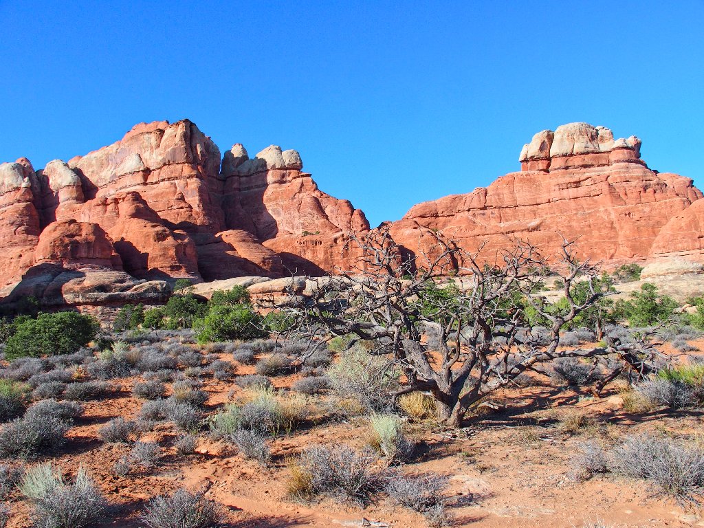
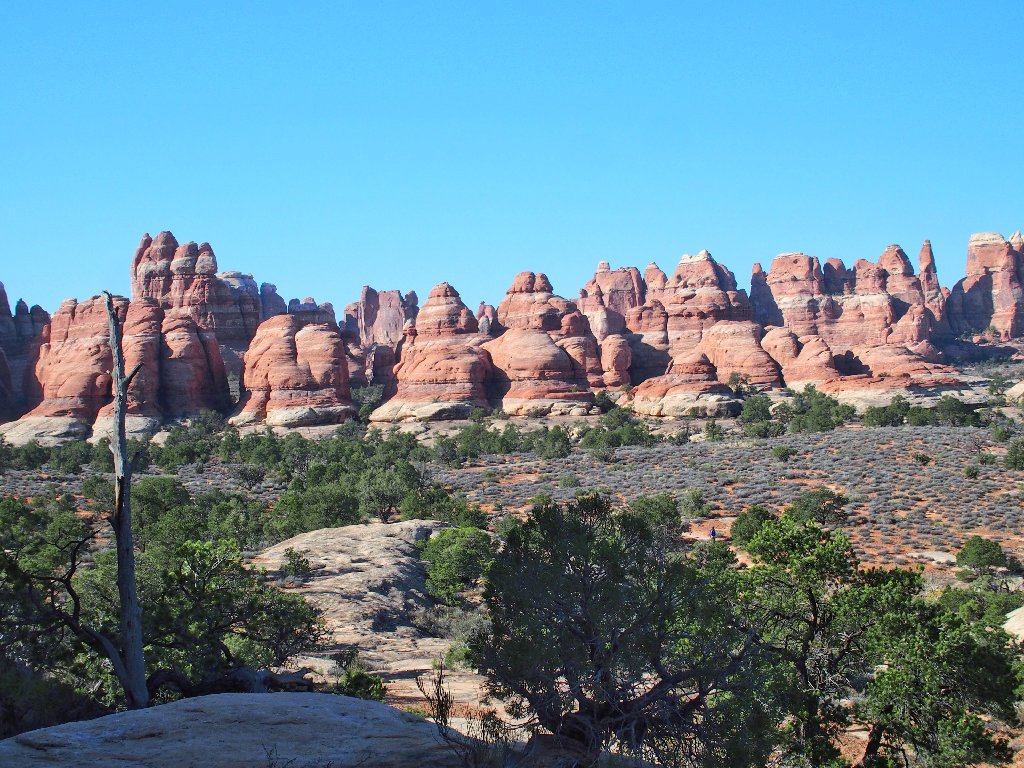
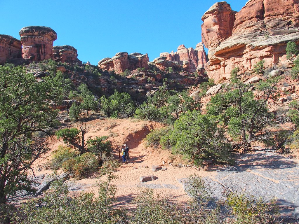
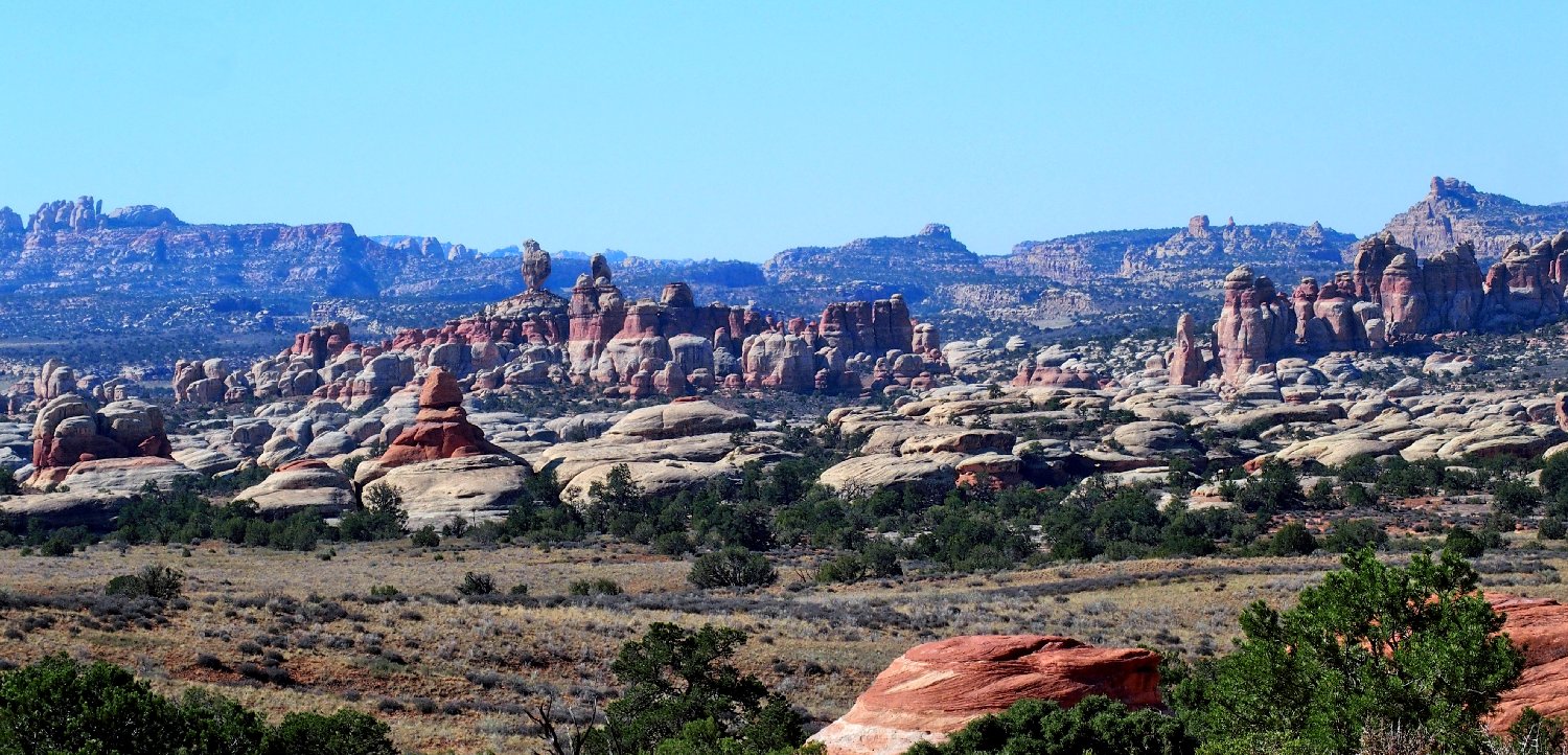
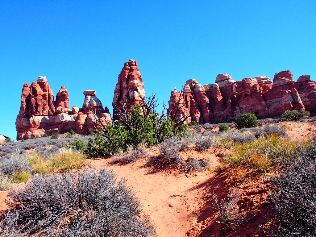
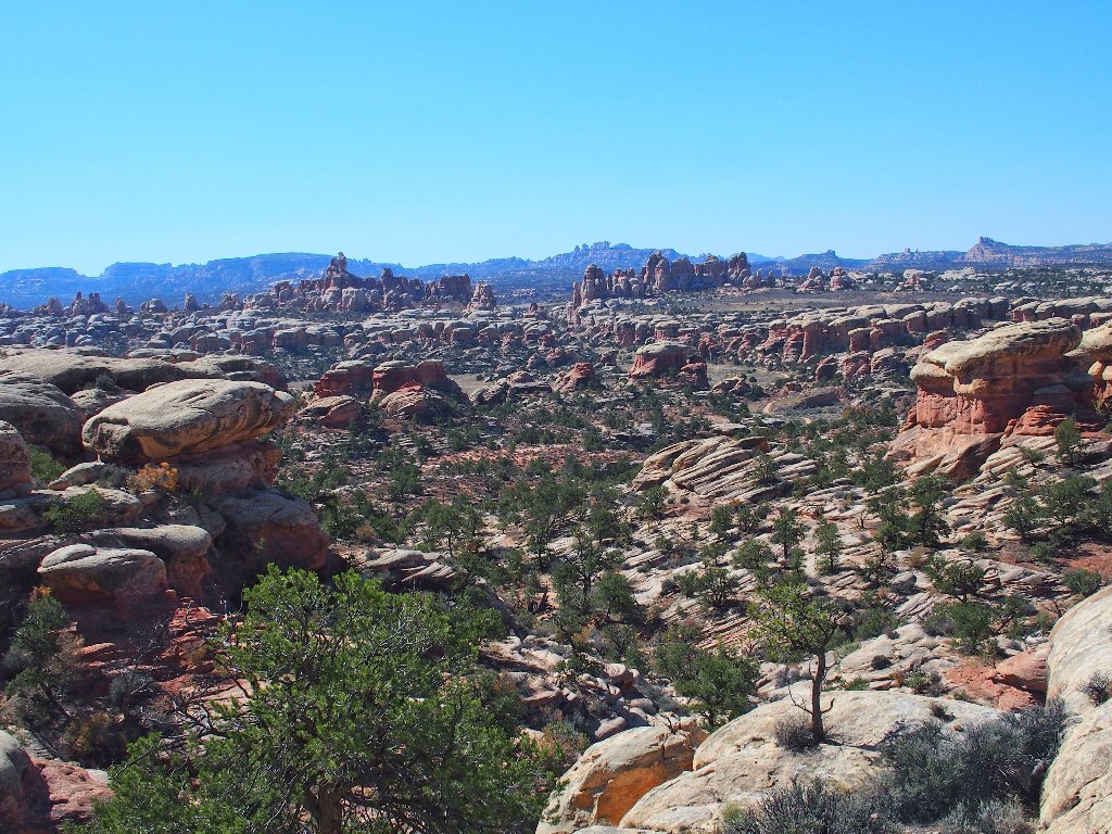
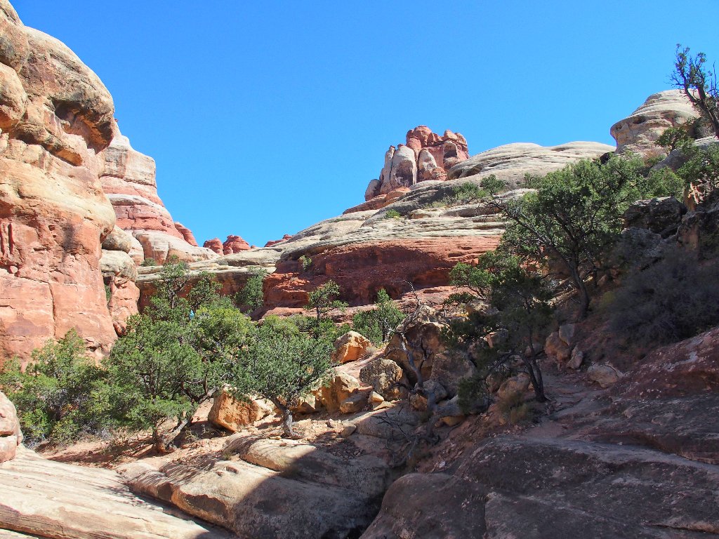
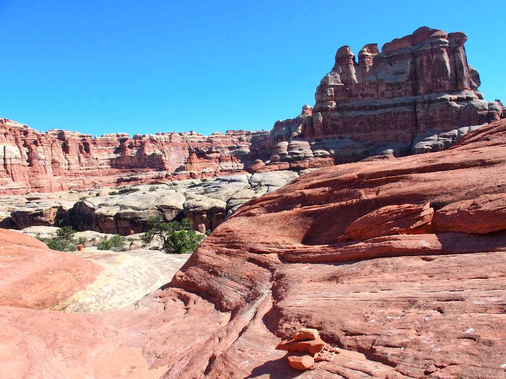
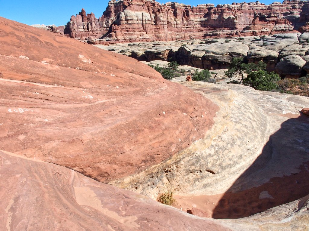
Now I get my first good view of the area's other principal attraction. Even though I skirted that rock wall earlier, it is more photogenic from here:
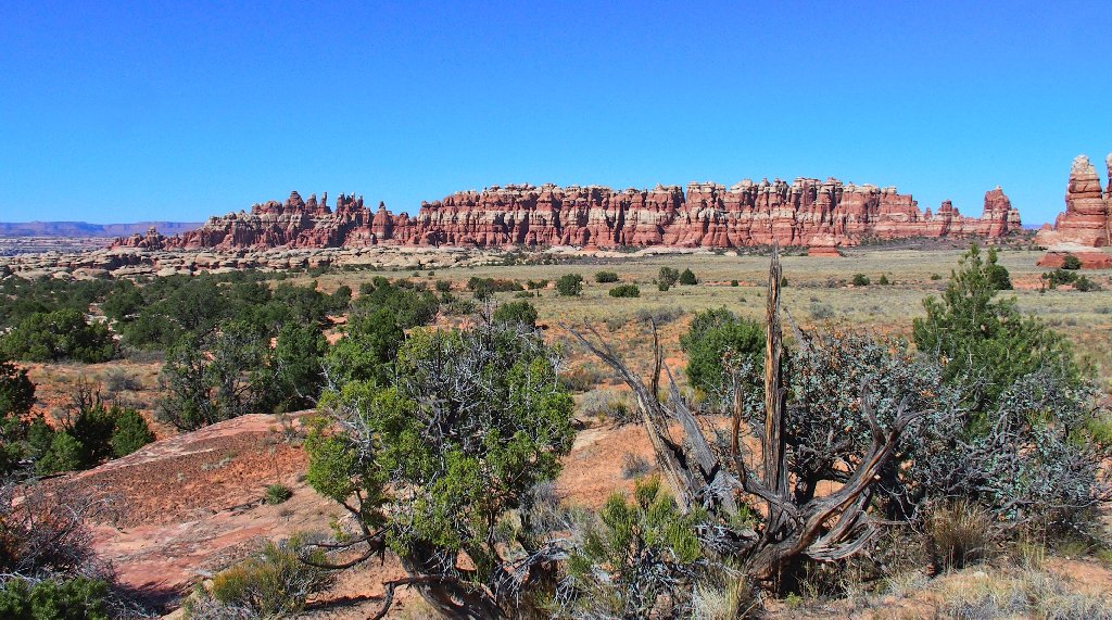
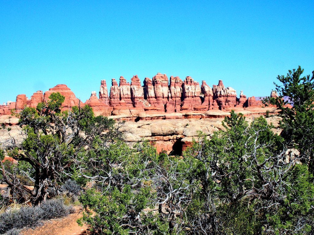
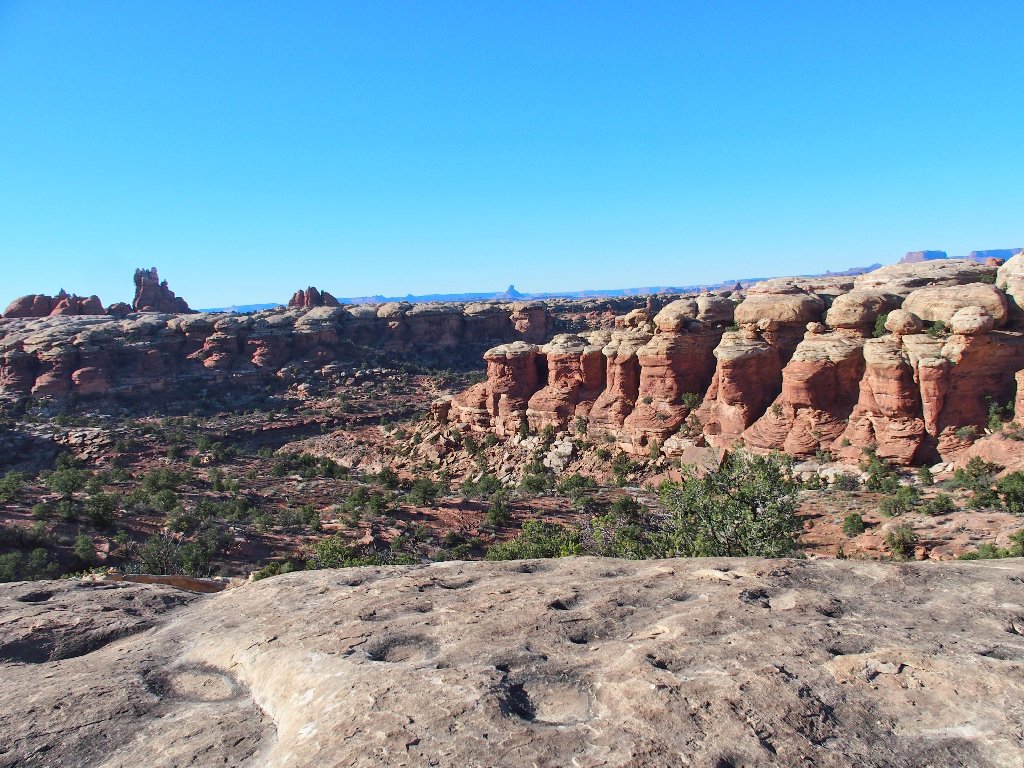
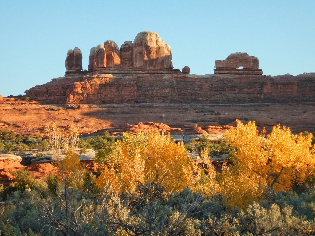
So this is Chesler Park!
There are several campgrounds over there. I bet that this place would be truly awesome in the springtime.
Spectacular stuff
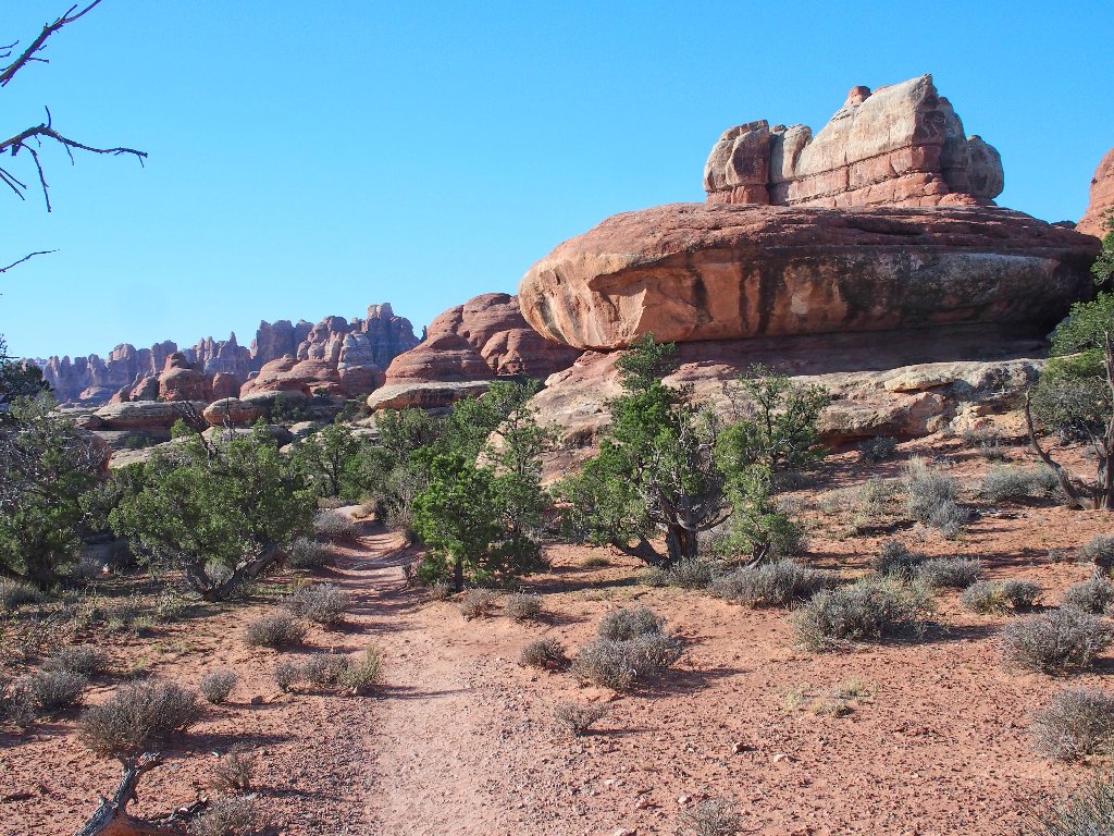
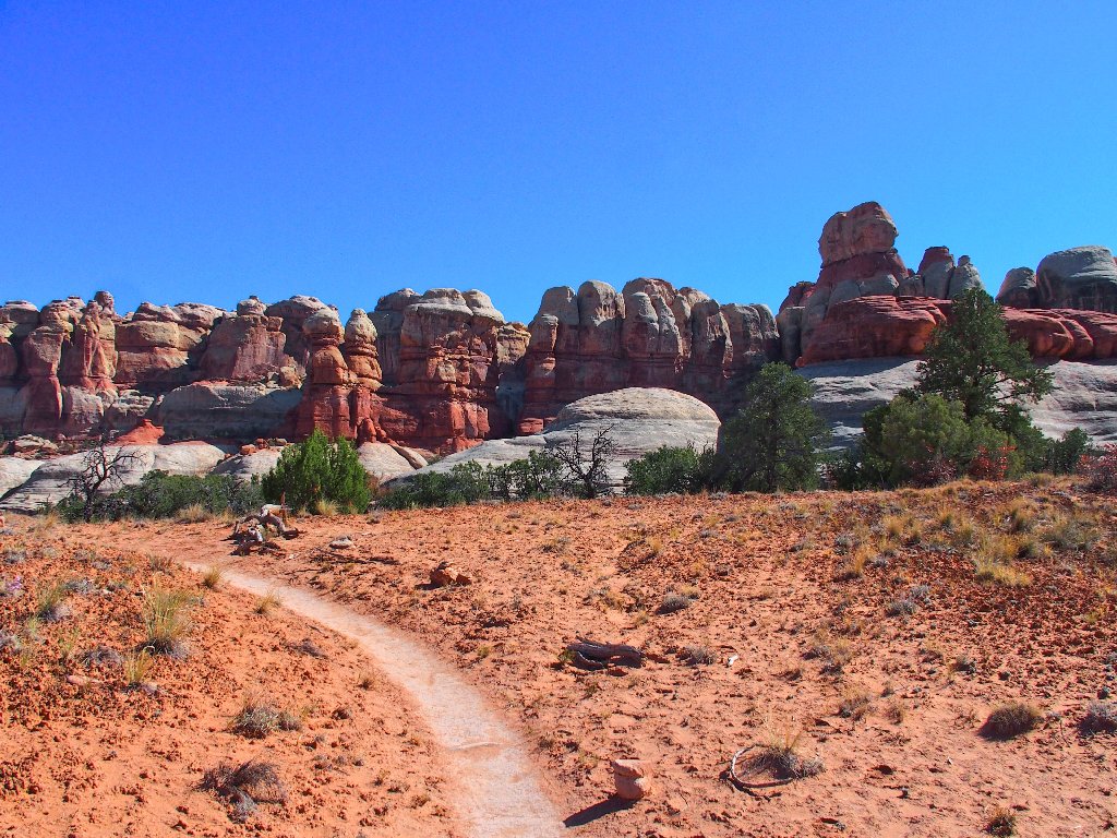
There is an option here. Even though the more direct and popular
trail heads leftward, I opt for the somewhat longer right-hand route,
because it will provide less overall duplication of trail footage.
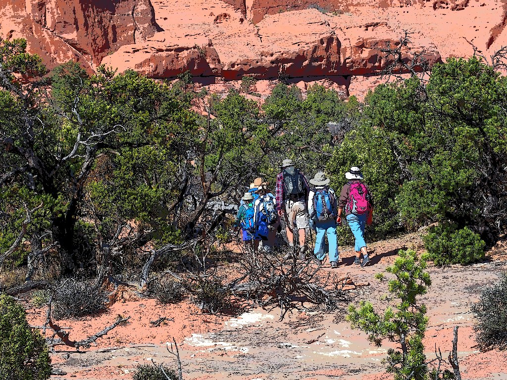
I see a couple of others headed the same way
It's all slab-hopping in here
Cairns, don't fail me now
Looking back
This stuff is so much fun
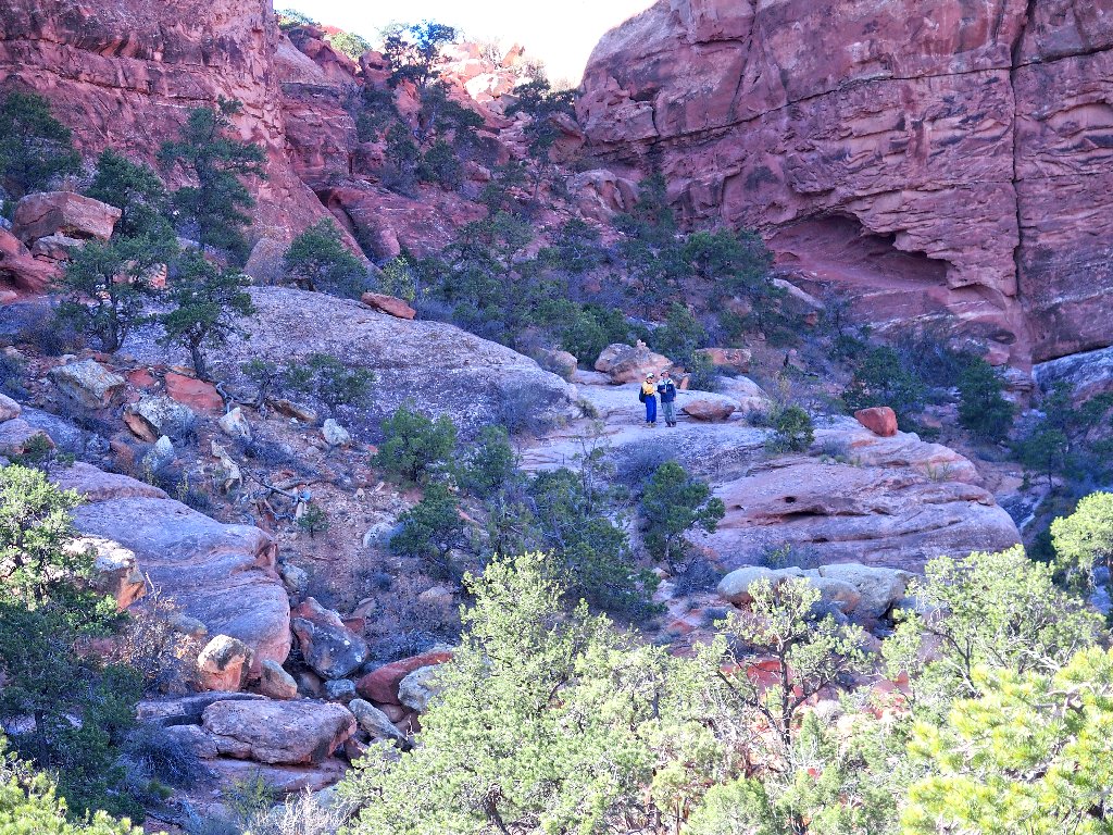
There's the couple I had spotted
Am I supposed to jump into that hole?
Yep
I catch up with the other two as they explore a couple of mini-caves.
I recognize the man's L.L. Bean T-shirt! I passed them going the other way at the beginning of the Joint Trail, because they opted to do the last loop in the opposite direction. I like my choice better, though, because I knew that the obstacle course would be easier the way I went, and because I saved the best for last.
This section is problematical
The man solves this one by inching his way around the high boulder while leaning back, whereas the woman doesn't want any part of that. I opt to jump down upon the other boulder, grabbing the top before falling backwards. That works out; but as soon as I step off the rock I promptly fall backwards anyway, with great embarrassment.
Non-stop beauty
Will it ever become easier?
Finally, it does so when the three of us meet up with the Druid Arch Trail in Elephant Creek Wash.
Turning north here
I would like finally to visit Druid Arch; but that would involve an additional four miles of walking, so doing it today is out of the question.
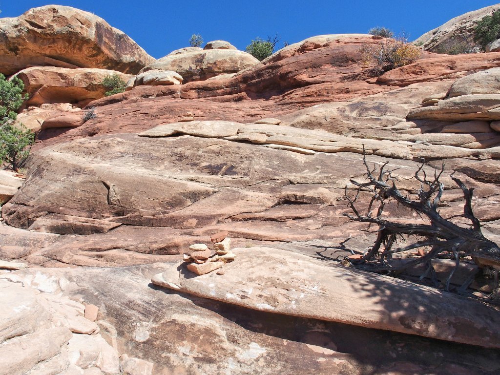
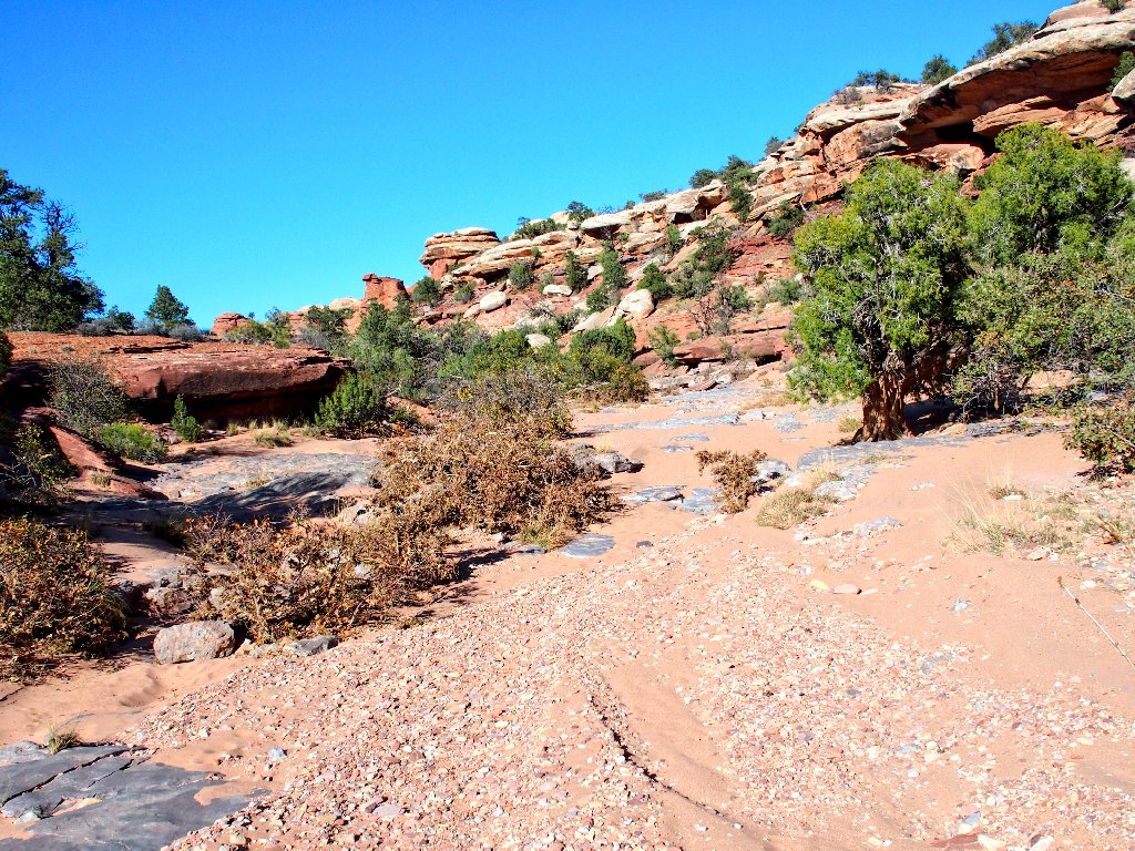
This section is relatively uninteresting, because there is no scenery
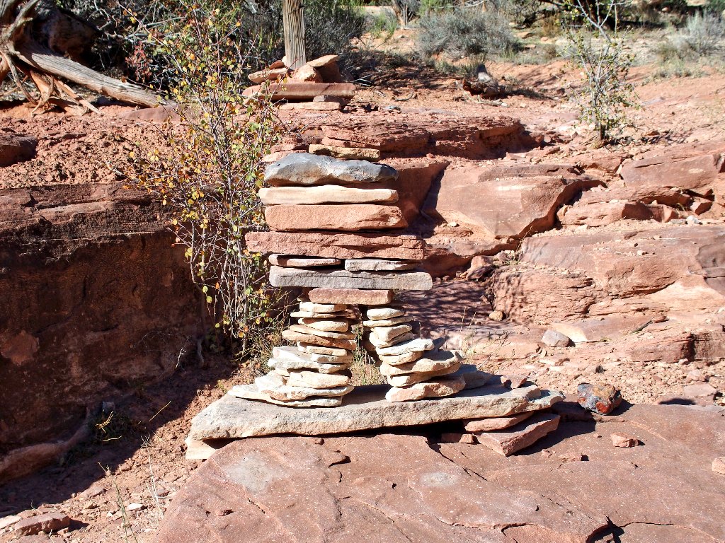
What an elaborately constructed and delicate marker
Being too busy admiring that work of art, I fail to notice the signpost right behind it (the one that even is visible in the photo). Inexplicably failing to appreciate that I actually have just closed my lollipop loop, I continue straight up the wash.
There are boot prints leading this way
Before long, evidence of human passage becomes scarce; but do I do the right thing and return to find the proper route? No, I stubbornly continue north because, according to my GPS, I am heading directly toward the trailhead and it's less than a mile away.
Well, there is an old hikers' adage to the effect that,
"On the trail, seeming shortcuts often are not". This is
one of those times. I try cutting up a side canyon, in
which I find a well-anchored B.L.M. benchmark and a
collection of huge boulders beyond which no passage is possible.
This is not the answer
In fact, it takes some doing to climb up these Rocks to Nowhere.
At present, I am king of nothing I survey
Now I am but six-tenths of a mile from the trailhead. I know exactly where it is, but how might I get there? I am not really concerned, per se; but the sun is getting low in the sky and I am running short of water. Something intelligent must finally be done.
Well, the big wash runs generally northward. I know that it must eventually intersect Elephant Hill Road, which I know surrounds me to the west and north. It cannot be that far away, and I could follow it even in the dark if necessary. So the plan is to trudge back down to the wash and follow it north toward salvation.
Getting off this rock pile proves even more time-consuming than climbing up; but perseverance prevails, and eventually I am walking in the sand again.
I cannot properly appreciate this stuff at the moment
The wash itself exasperates me by veering more to the west than to the north, creating extra mileage.

The boot prints indicate that some other bozo has been here
Inevitably, however, the plan is successful. Although it was just a matter of time, I am quite relieved.
I never thought I would be so happy to see Elephant Hill Road again
Now I am something more than a mile from the trailhead.
In the last two-plus hours, I have made no actual progress.
Time to start walking
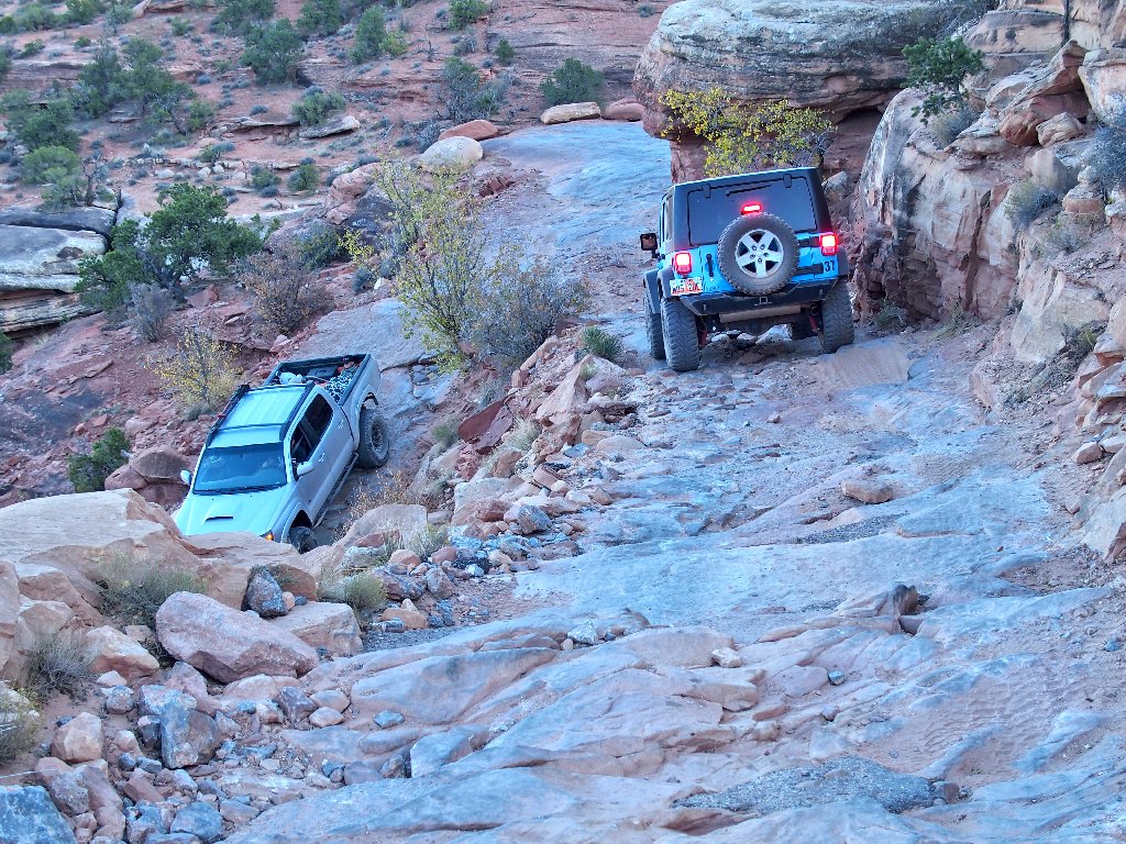
Near the top of Elephant Hill are several of the more interesting
features of this road. In one Z-shaped section, there
simply is inadequate space for vehicles to negotiate the two sharp
turns. The solution is for them not to turn at all!
Backing steeply downhill for a couple hundred feet can be exciting
The road is so bad that drivers must be shown where it is!
Terrible though the route may be, the Park Service has filled a lot of
problem-spots with concrete. The goal is to render the road
technically passable by any stock SUV and a sufficiently skilled driver.
It's rated as Class-4, which means nothing too extreme
Presently, two vehicles approach from behind. The first one is a pickup containing two parents and three kids. The driver stops, smiles, and offers a ride. I happily decline, however, on the pretext that, "It isn't that far", which is true enough. I would like to see this thing through unaided.
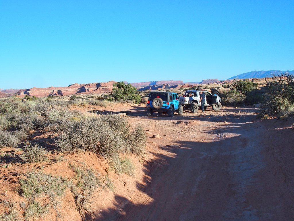
Progress is slow, but sure
The end is in sight
For a while, I can walk as fast as the jeeps are able to manage; but eventually, automation prevails.
Still some work to do
Soon, my ordeal is over — or rather, my odyssey
is complete.
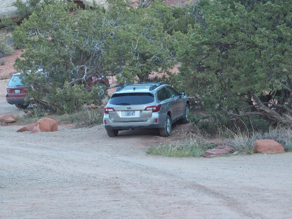
Home, Sweet Home
§: Well, I had expected an interesting outing; but I certainly
had not envisioned what has proved to be my most exciting adventure ever.
The errant detour aside, today's trail provided the most outright fun of any
in my experience. The only thing that could make this hike better would
be to do it in the spring when some flowers are out.
Even at that, had I remained on established trails, I would have missed out on a reprise of the route on Elephant Hill itself. It was rather enjoyable seeing all that stuff again.
I would avoid this trek if rain were threatening, though. A lot of walking on wet sandstone slabs would be problematical.
| Scenery |  |
| Difficulty |  |
| Personality | |
| Solitude |  |
| Adventure |  |
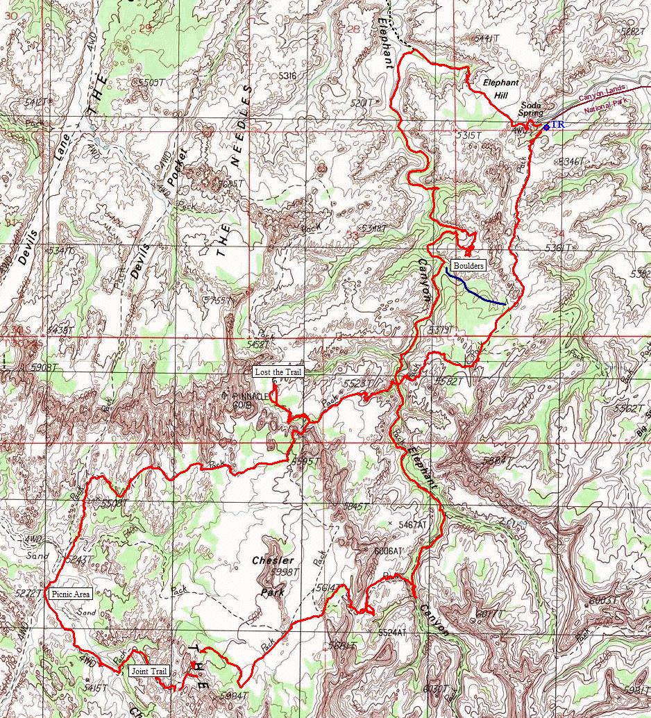
The dark blue route would have provided an easy correction.
Yes, a quarter-mile backtrack from the boulder pile could have gotten me out of the rocks and into a flat.
The cairn that helped lead me astray at the graphic captioned, "What an elaborately constructed and delicate marker" is visible in the one labeled, "There's a signpost — always welcome".
Also, back in 2005 there was a traditional ladder that reached nearly all the way up to that chokestone. It seems that the Park Service has elected to make the route more challenging now.

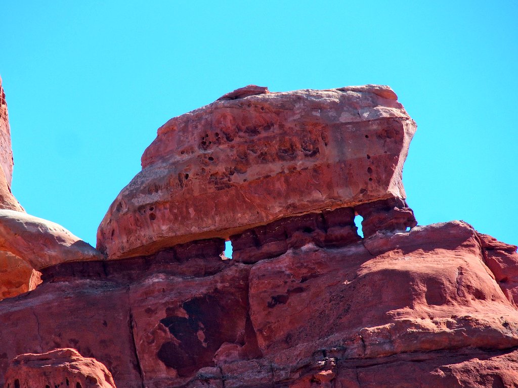
As I traverse the park on my way to Moab, this photo-op is too good to pass up:
Wooden Shoe Arch
