
Natural Bridges NM, Utah
|
Three Bridges Overlook Natural Bridges NM, Utah |
October 13, 2017
Day-5 of my Fall Bucket List Tour begins in Kayenta, Arizona, which is a good place to stay because all that it offers is gas, food, and lodging.
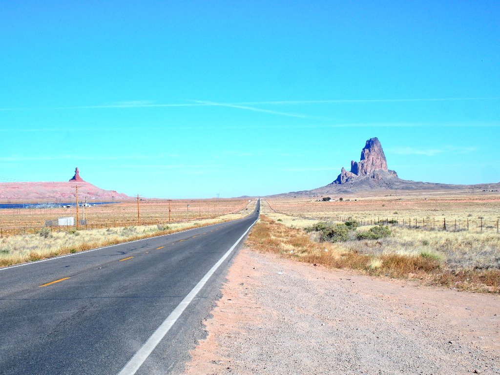
Approaching Monument Valley
When I last drove through here, the smog from the Navajo Power Plant at Page was oppressive; but today the skies are reasonable. They must already have partially shut down the plant, which is scheduled to disappear completely.
According to my studies, a four-mile hike is available here that
can be done without paying the $20 fee for a 20-mile
auto tour. The rules seem to have changed, however; for today I
discover that one must pay the fee at the gate for any activity at all,
even if all one wants to do is to spend money at the Visitor Center!
The air isn't all that clear anyway, so I'll pass on that for now.
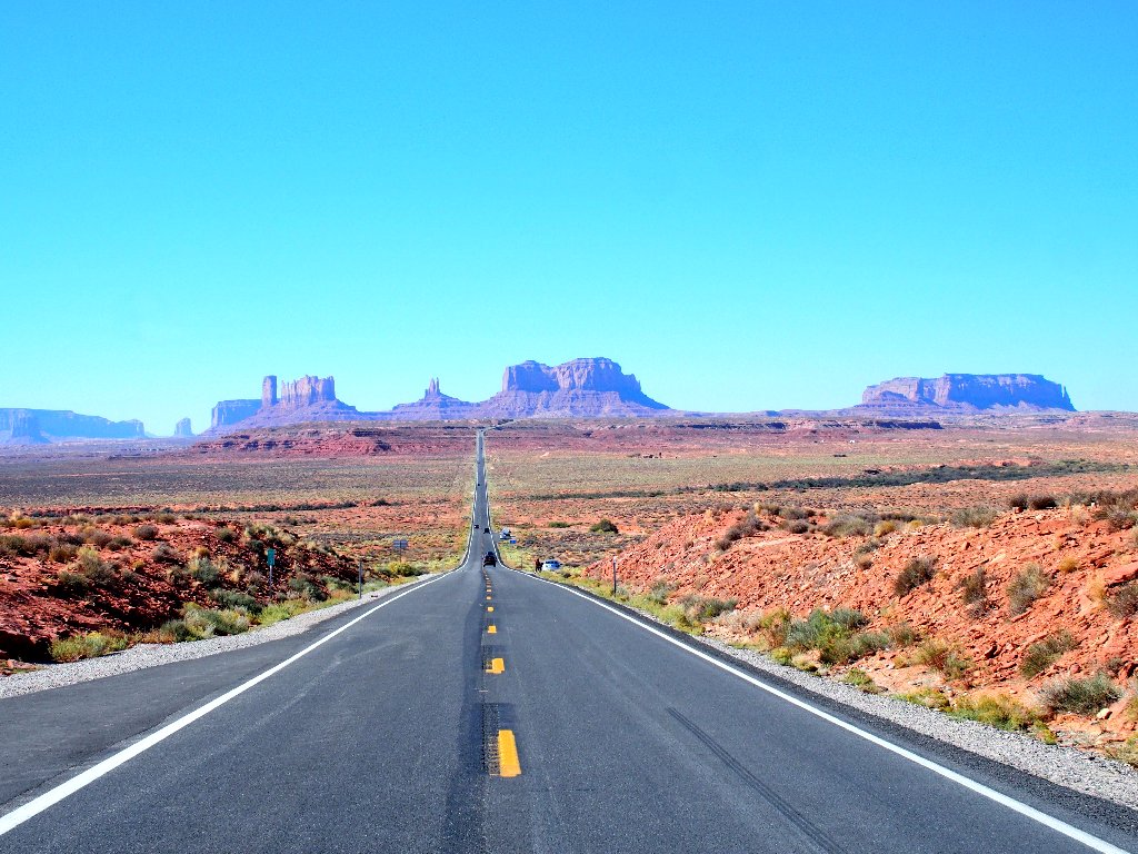
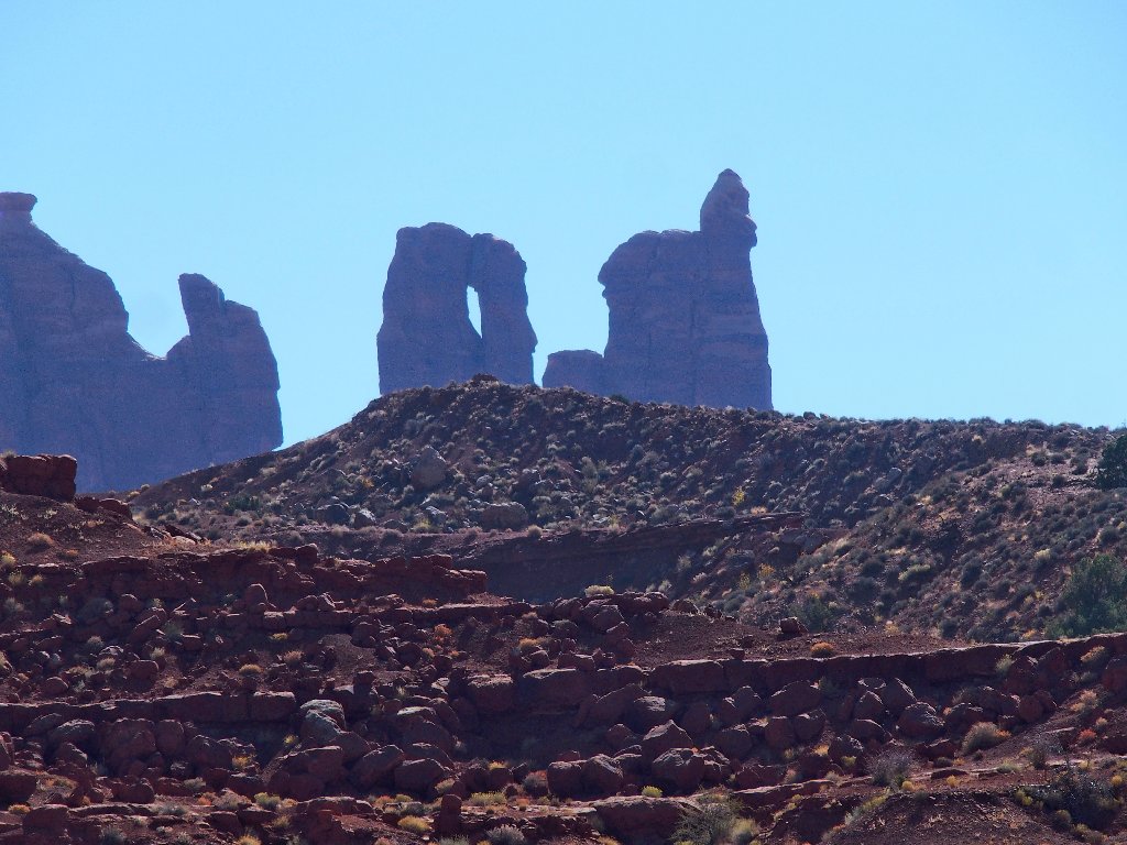
Looking west into Monument Valley
Today's final destination is Monticello, Utah. Because it
isn't all that far away, I must find something else to do.
For starters, I can take a slight detour up a favorite byway that
my wife and I visited previously — the Moki Dugway.
Three miles of it are unpaved but well-graded.
A signpost admonishes big-rigs against using this route, yet a couple
of them are attempting it anyway. They must pull over and stop
every time an automobile approaches from the other direction.
Also, more than a dozen bicyclists are climbing the thousand-foot
grade in order to get to the pleasant road at the top.
Although you can't see it, a road goes right up the side of that cliff

At the next highway junction I find myself just seven miles from
the entrance to Natural Bridges National Monument. Although
I did a great walk there six years ago
(Hike #108),
it is such a such a unique and special place that I must pay it another visit.
Besides, I have a plan.
The park circuit accesses viewpoints of the major attractions,
namely three of the world's biggest natural bridges. Whereas
my earlier walk enabled me to get up-close-and-personal with
all three formations, today I will just visit the overlooks of the
first two, then amble down to the third one.
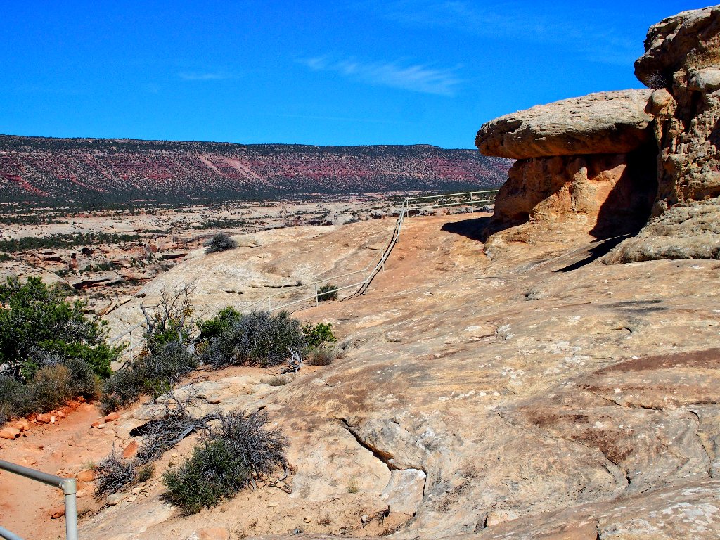
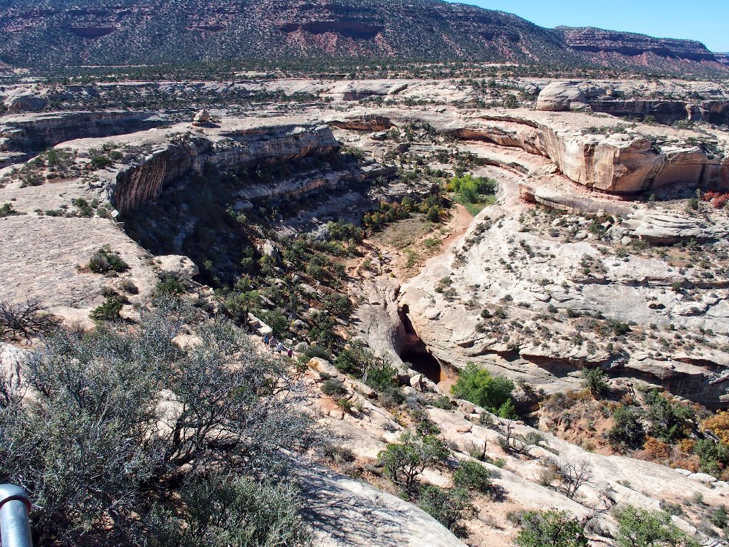
Sipapu Bridge
It's a five-minute walk down to the viewpoint, from which it is
difficult to get a sense of scale from 600 feet above the opening;
but this was long thought to have the world's second-longest
natural bridge after only Rainbow Bridge in Arizona. Modern laser
measurments, however, have demoted Rainbow Bridge to fifth place and
rate Sipapu as the sixth-longest natural bridge and
thirteenth-longest span overall.
Because of the closure of the trail leading under Landscape Arch due to safety concerns, and because of the bogus regulations over at Rainbow Bridge, Sipapu is now the longest span in the world to have an active trail underneath it.
The opening is 144 feet high and 225 feet wide
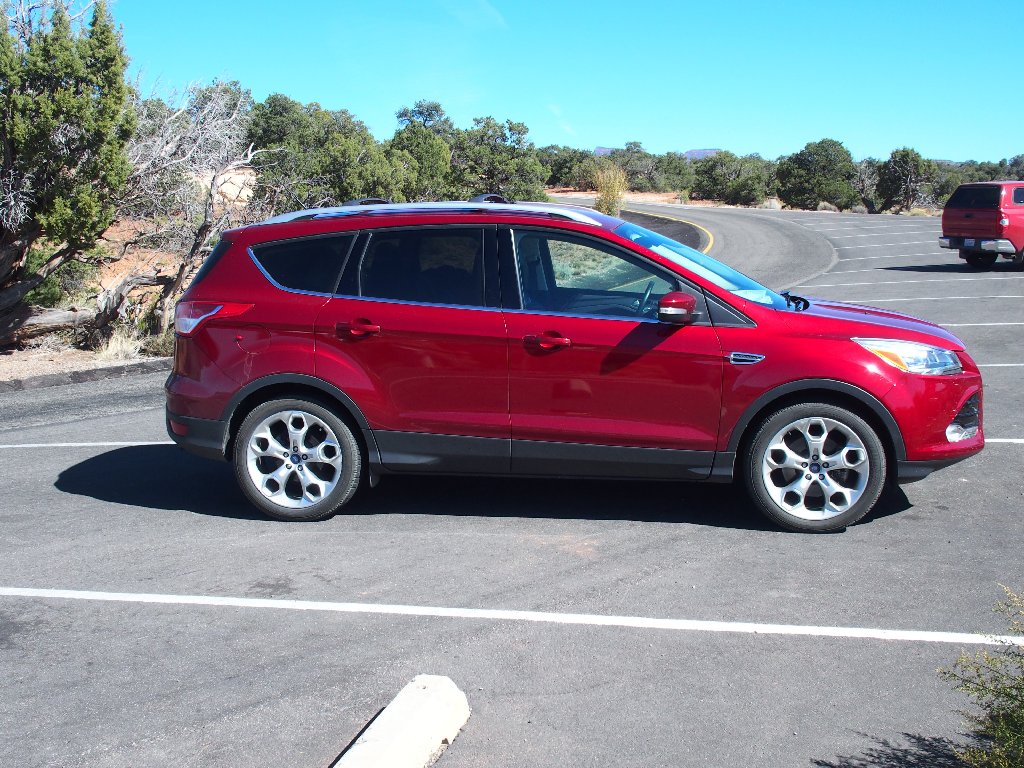
Returning to the car, I find that it has received an inscription:

That's nice, but I never thought of my new Outback as particularly "cute"
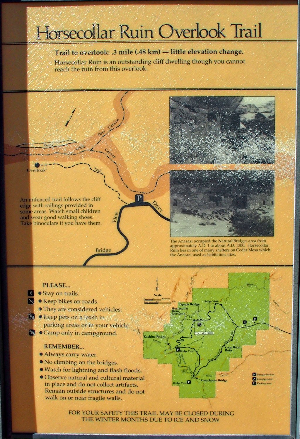
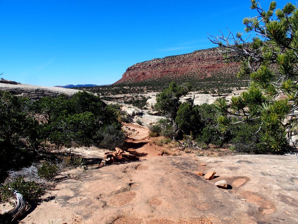
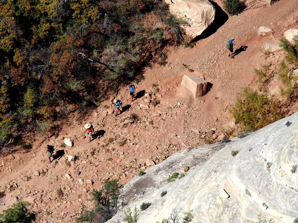
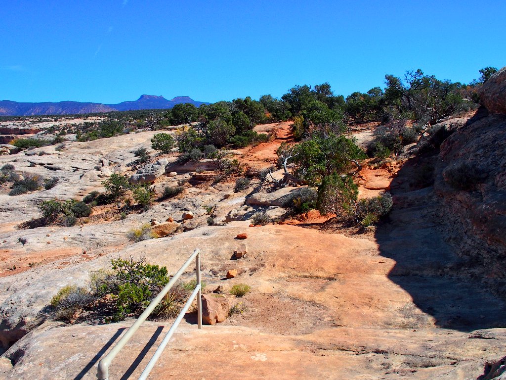
Just ahead is another trail. When I traversed that canyon,
I missed out on views of the ruins. This is a good
catch-up opportunity.
⇔
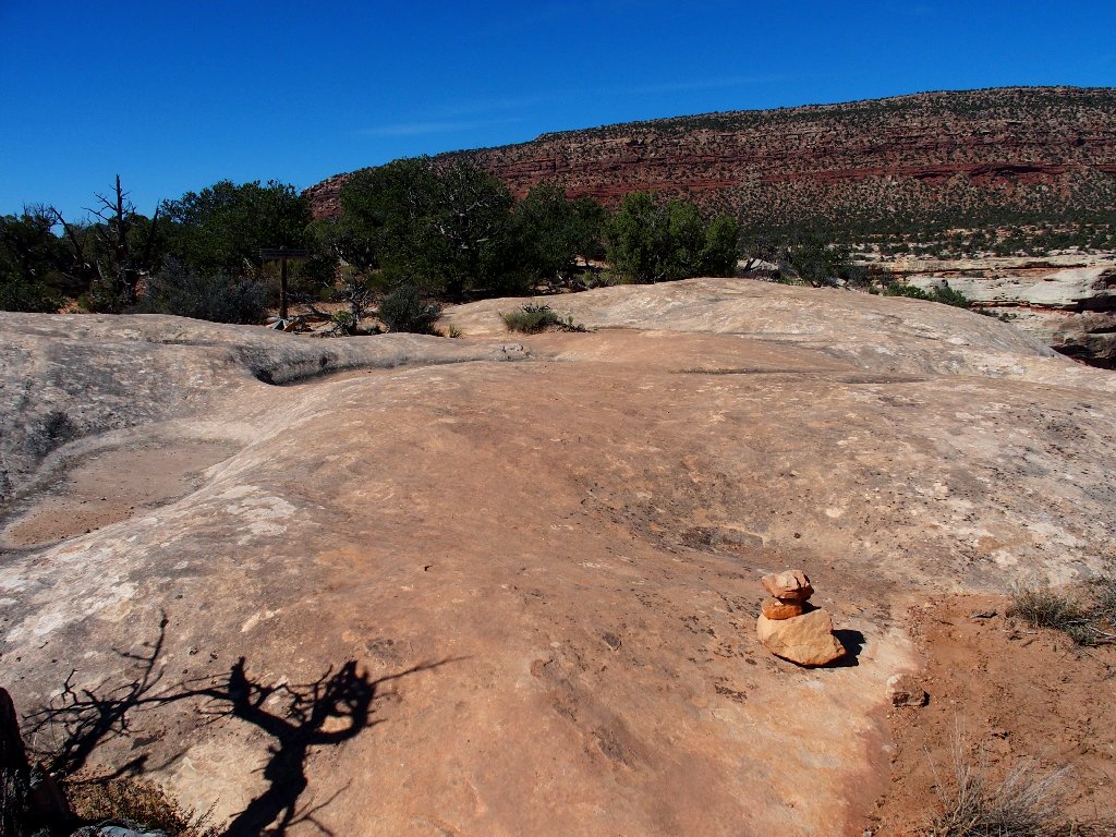
Oh, boy! Slabs to scramble on
Okay
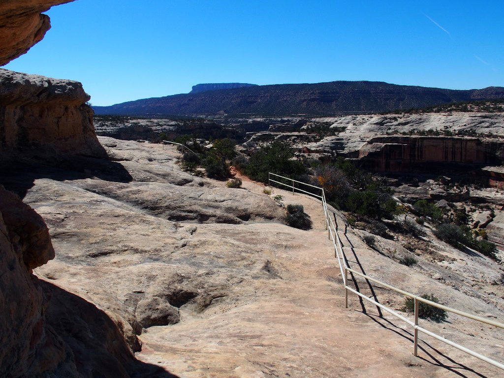
Apparently the tourists need to be contained
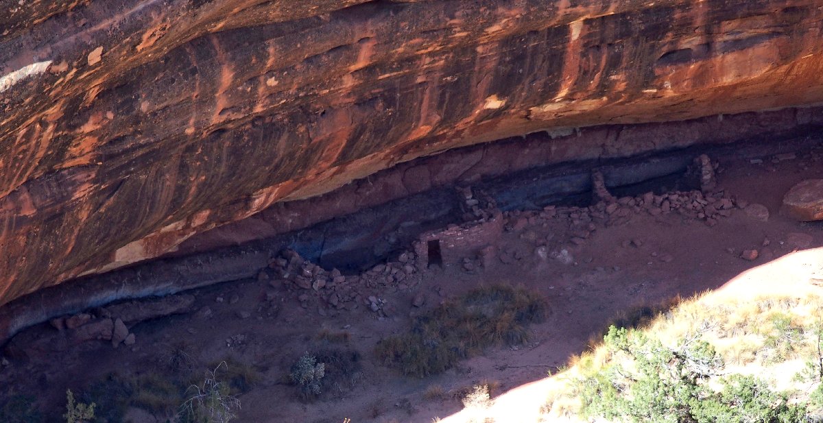
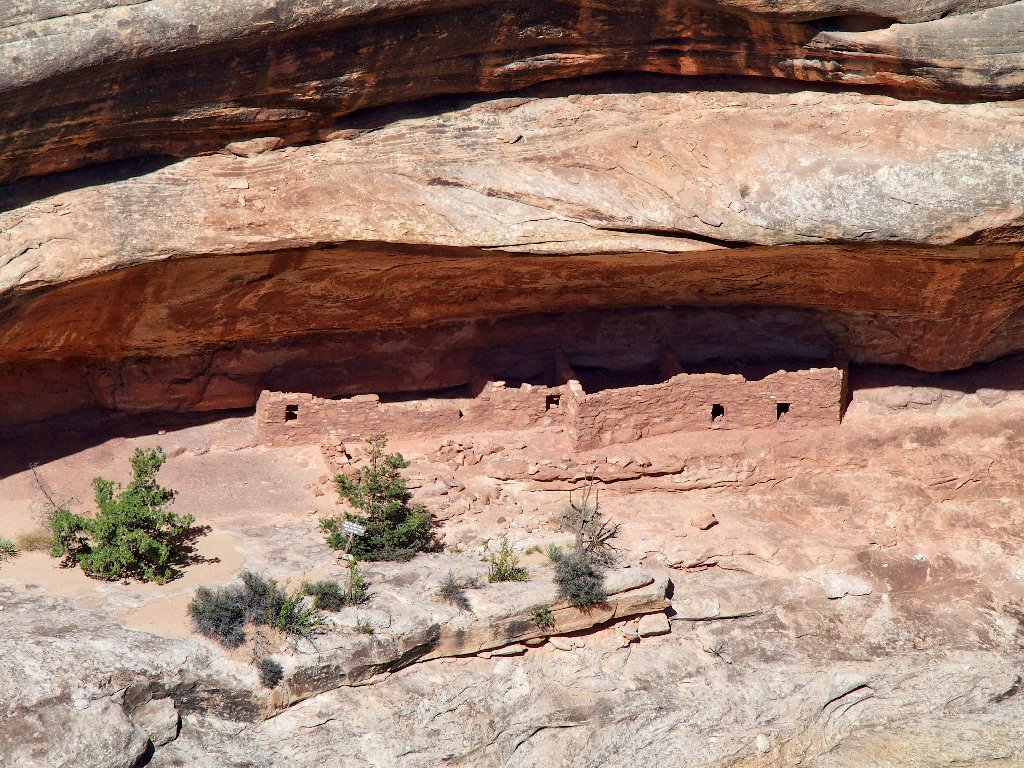
And there they are, across the way — honest to goodness cliff dwellings.
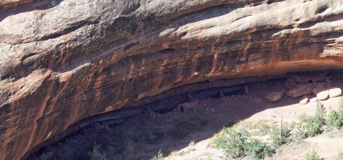
Horsecollar Ruins
Zoomed in a bit closer
The structures are located high enough on the side of the cliff that one might not spot them from the trail below without knowing just where to look. That's what happened to me.
Been there, done that
Wow!
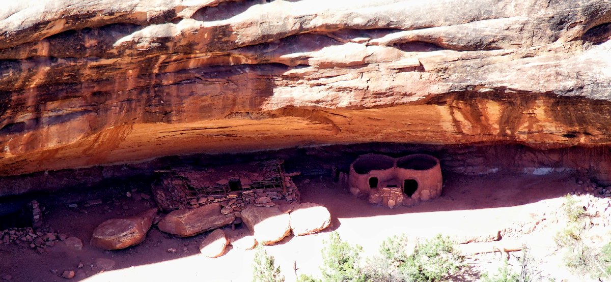
There is another building complex over to the right:
Condominiums
Heading back
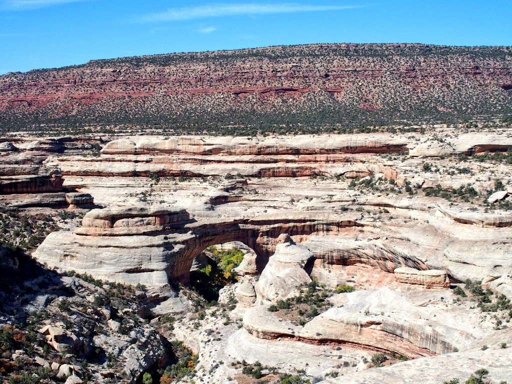
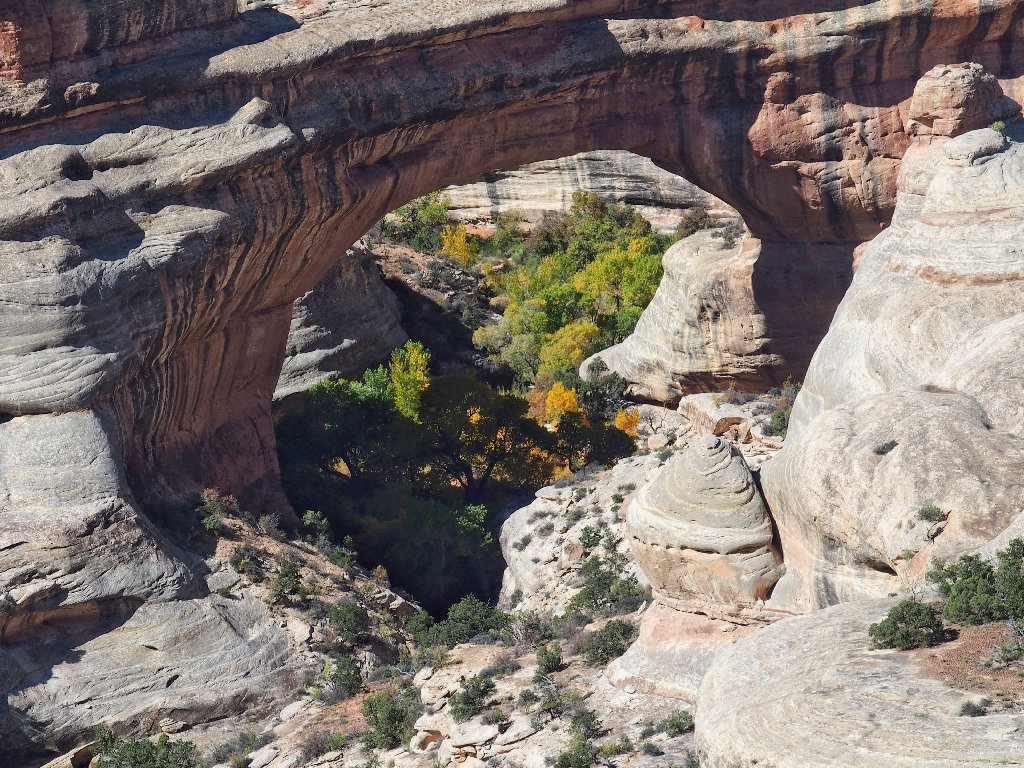
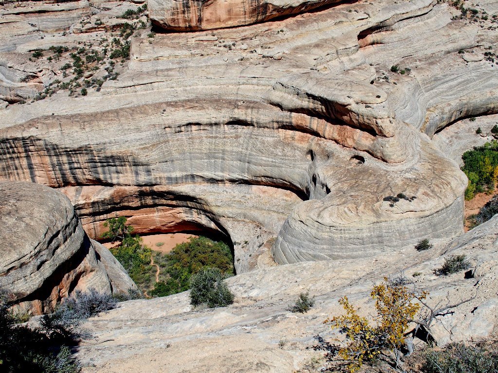
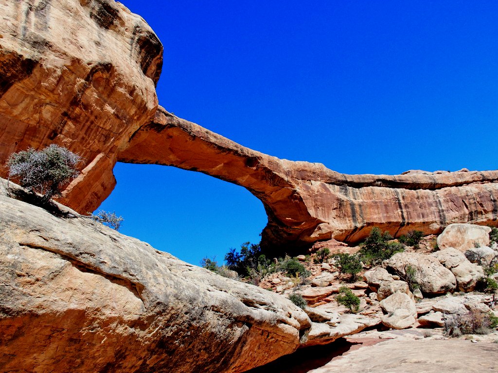
The next stop is at Kachina Bridge, which actually has a bigger opening than that of Sipapu Bridge
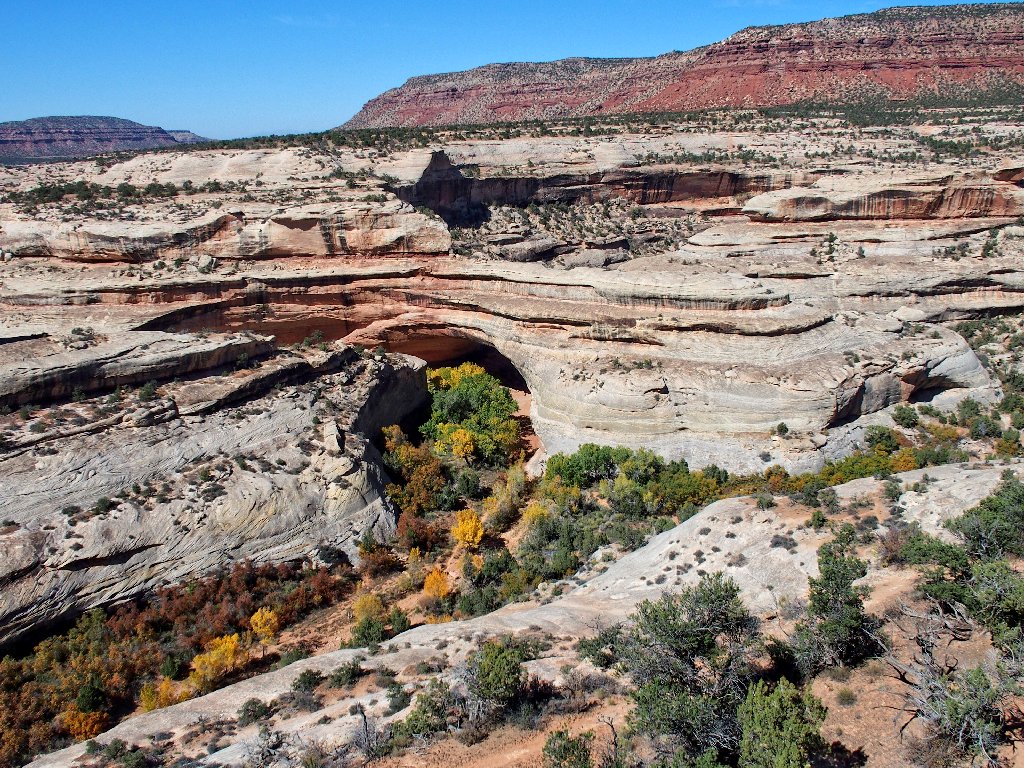
The opening is 210 feet high by 192 wide
Zoomed in
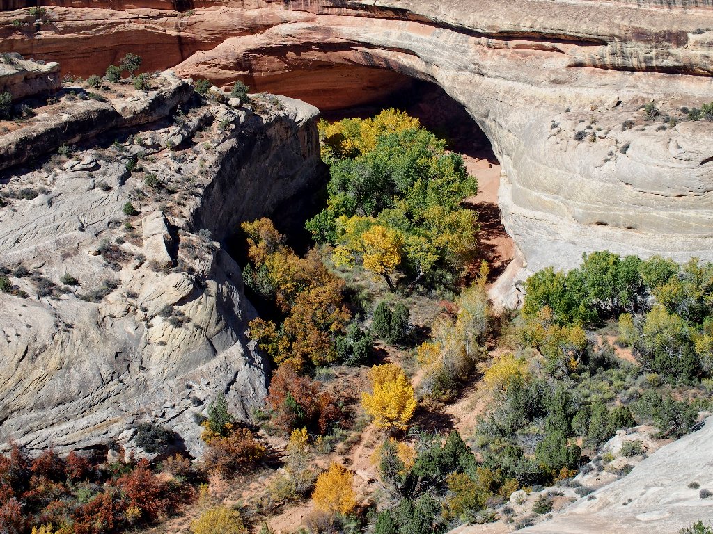
Although the opening cannot actually be viewed from this angle, the hikers' trail below it imparts a sense of scale.
The views are much more interesting from below
The trail winds down the canyon
Now there's a cute car!
Both Sipapu and Kachina can be visited first-hand by taking
exciting trails straight down about 600 feet from the viewpoints.
Those routes feature handrailings in places, and the Kachina access
even sports some Moqui-style footsteps cut into the rock.
Access to the third and final attraction is but a 200-foot
drop, making it easy to visit. Besides, the view of it isn't
so great from the parking lot anyway; so down I go.
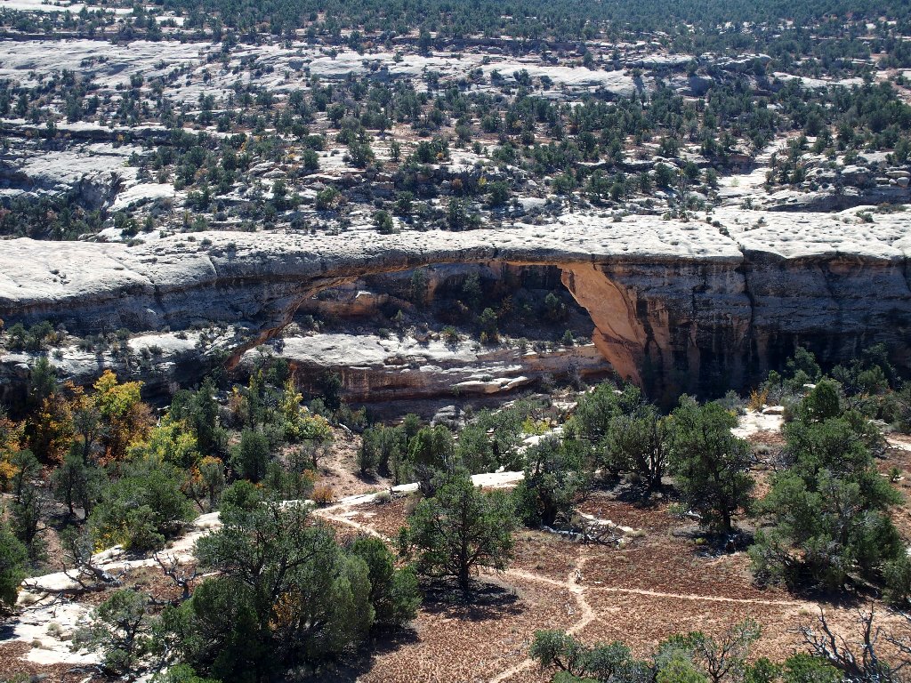
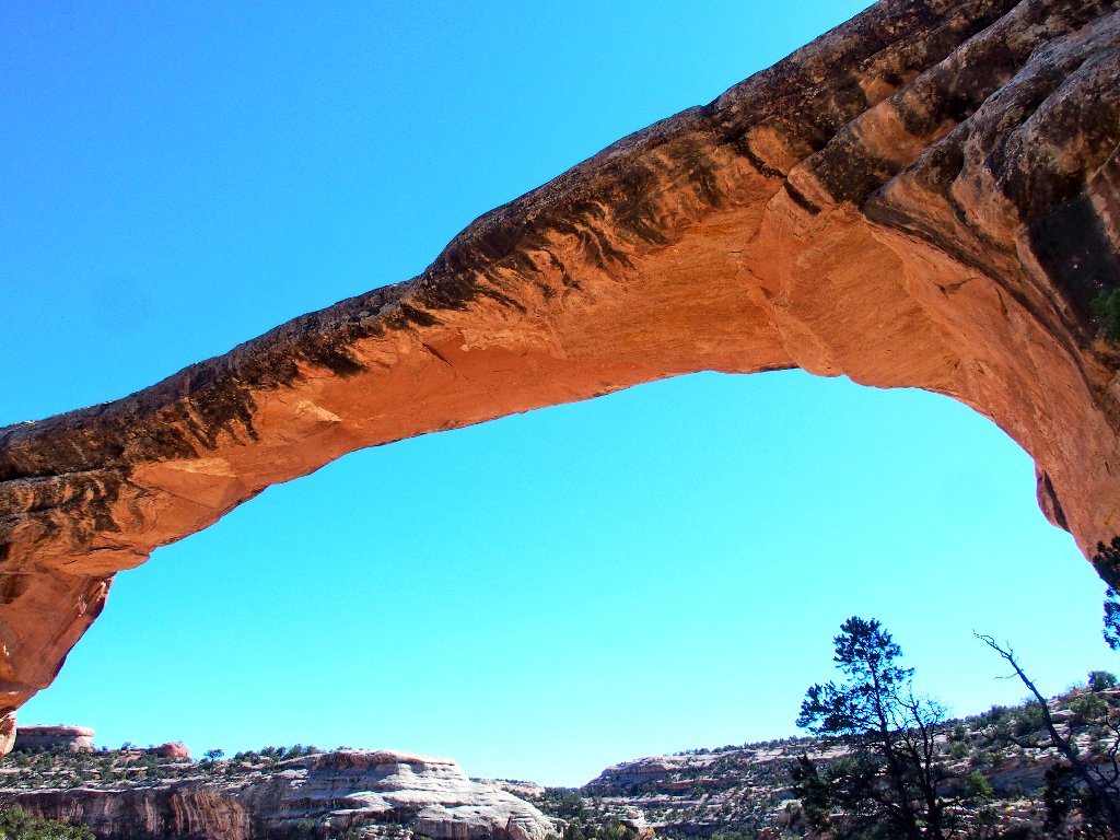
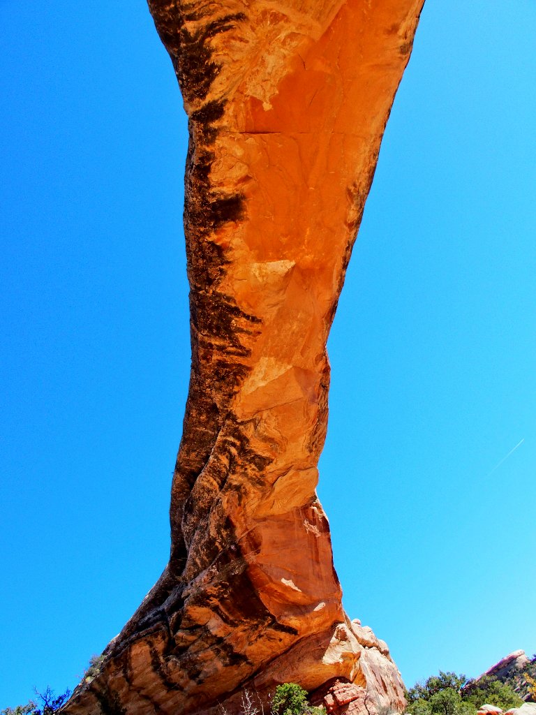
Owachomo Bridge
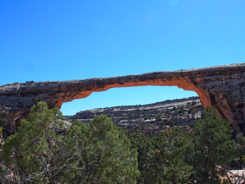
The park brochure says it's 106 feet high and 144 feet wide
27 feet wide, 9 feet thick
One cannot take too many photographs of this spectacular formation:
This is why I go hiking
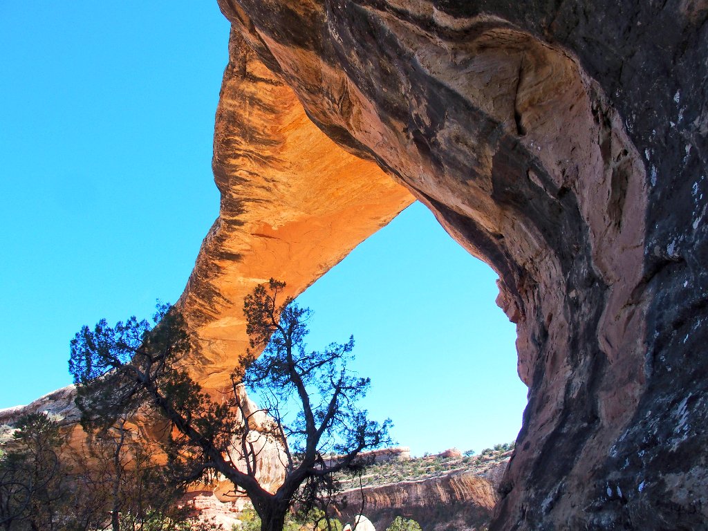
Climbing down through and below the span provides a different perspective:
Finally:
§: Well, this was a great reminder of my earlier
canyon tour. I got some new photos out of it, plus some
great views of the local cliff dwellings.
| Scenery |  |
| Difficulty |  |
| Solitude |  |
