
Yosemite National Park
|
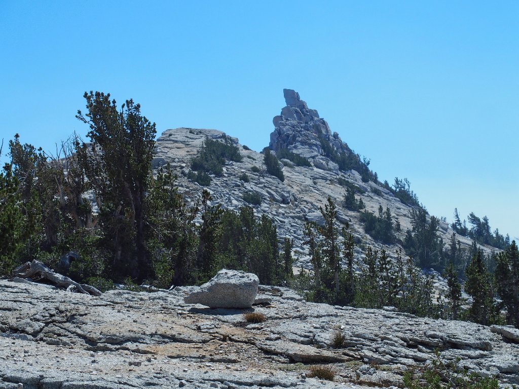
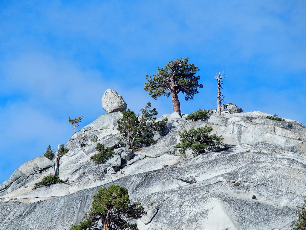
Columbia Finger Yosemite National Park |
September 18, 2017
Today I'm going to try something different. Friends Gary and Sharon from Bishop are going to drive up and meet me in Yosemite for a hike that is best done using two cars, because the trailhead is not near one of the park's shuttle stops.
It so happens that both groups incur an unusual auto-related
experience along the way. Shortly after departing, Sharon and
Gary have a flat tire that forces them to return home and grab another
car. My own incident occurs on a highway bridge that is
undergoing renovation, where traffic in both directions must share a
single lane regulated by stoplights. Being the first in line on
this occasion, when my light finally turns green I start across the
bridge, only to encounter a car coming from the other direction.
That sap of a driver, having clearly run the red light, is compelled
to back up many hundreds of feet in order to clear the way.
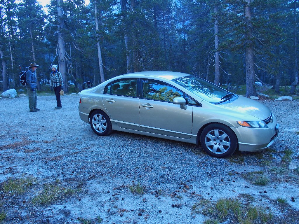
Getting started before 9 o'clock
Meeting at the Sunrise Trailhead at Tenaya Lake, the three of us
bundle into one car and drive three miles east to today's starting
point — a parking lot utilized by climbers hoping to
scale the popular Medlicott Dome. This unofficial route,
brought to my attention by astrophotographer Chuck Vaughn and which
I first used last year, serves as a shortcut up to Cathedral
Lakes. All that we must do is to keep track of the trail itself,
which features a couple of tricky turns.
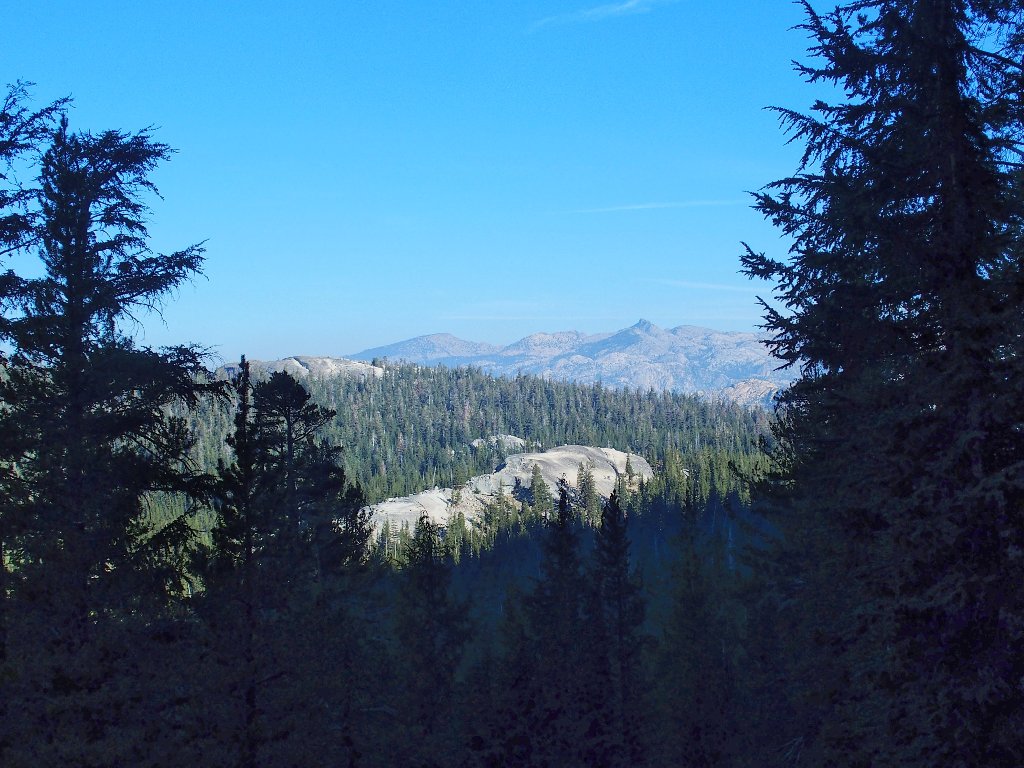
Our initial objective is that bench with the trees on it
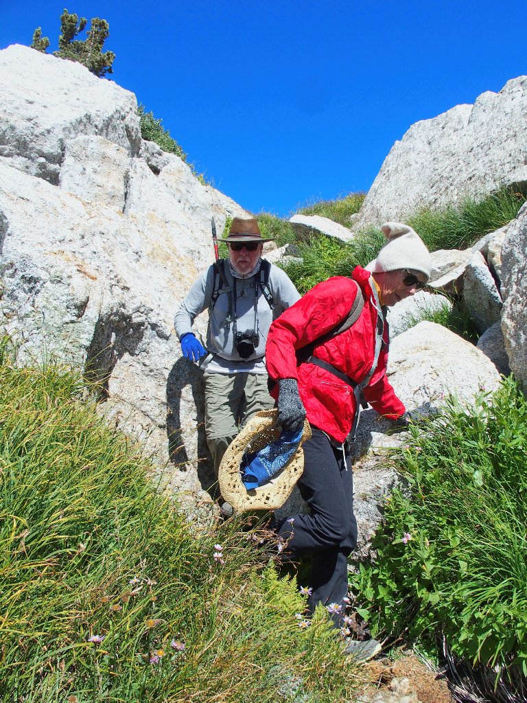
Although it is not particularly cold, I am wearing four layers of clothing and am wishing that I had not left my gloves back at Tenaya Lake; for I must use something to carry my walking stick.
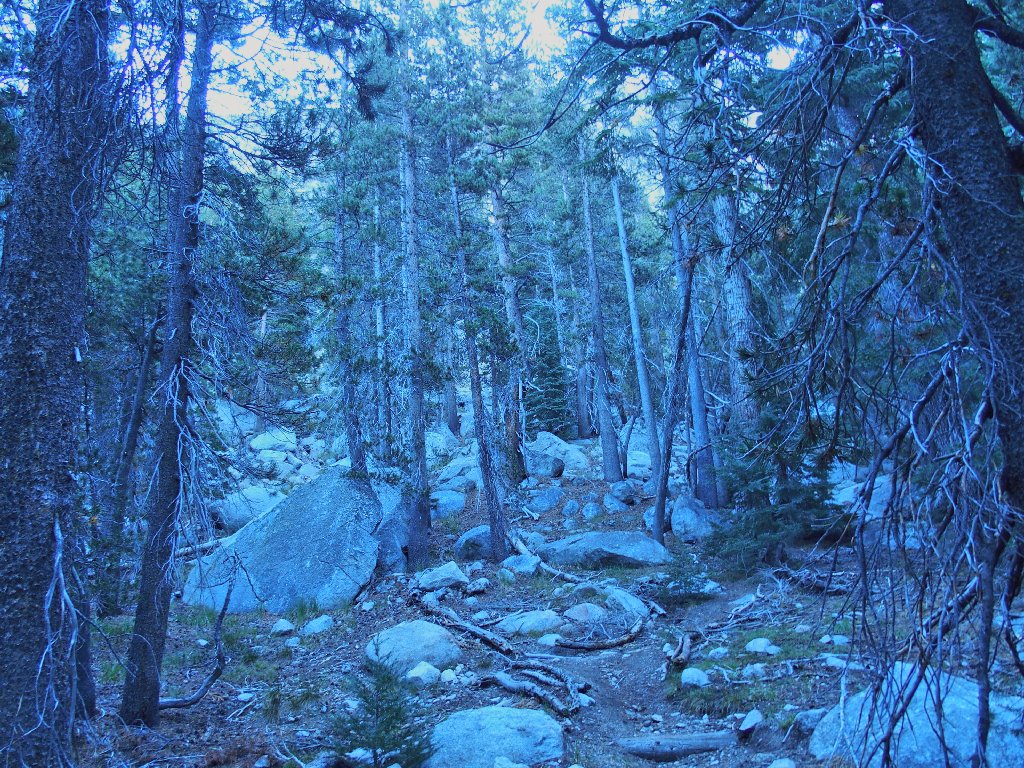
Hiking before sunrise can be somewhat eerie
Pettit Peak to the north
Tenaya Peak awaits us in the south
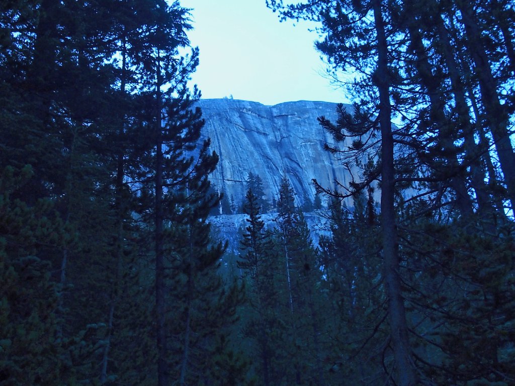
There are 32 principal maintained routes on Medlicott Dome and the nearby Dozier Dome. Their names range from Piss Easy to Cheeseburgers and Beer to Holdless Horror . No climbers are in evidence today, however; perhaps they slept in.
Some folk consider this the best face-climbing in the park
With the help of GPS waypoints, we have no difficulty negotiating
a trail S-curve to the nifty passageway halfway up the big dome.
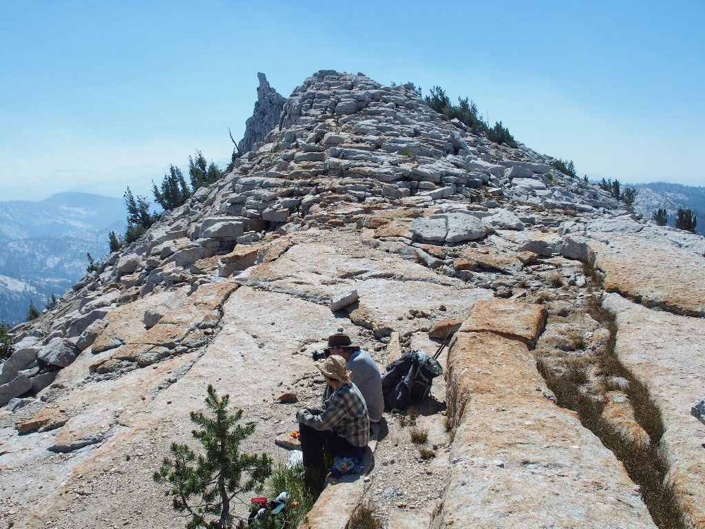
On the bench
At the northern end of Medlicott Dome we exit the forest into our first sunlight of the day. It is time to doff my windbreaker, although it probably will be needed again.
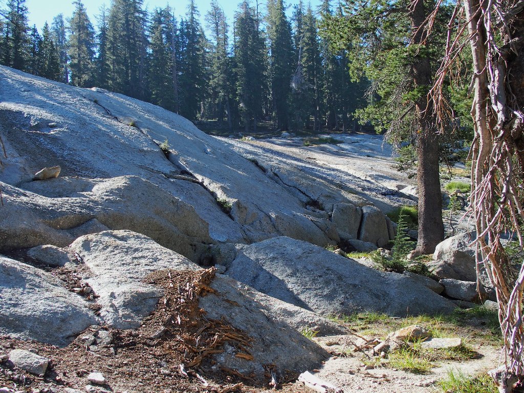
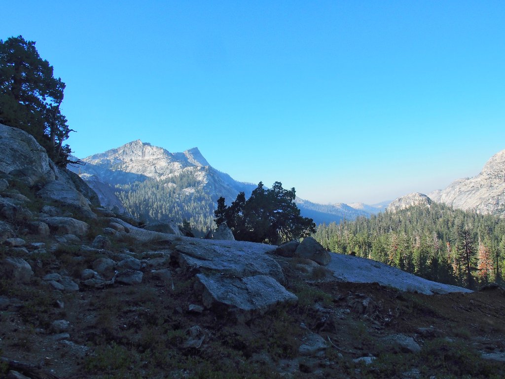
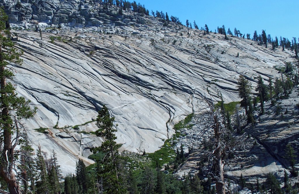
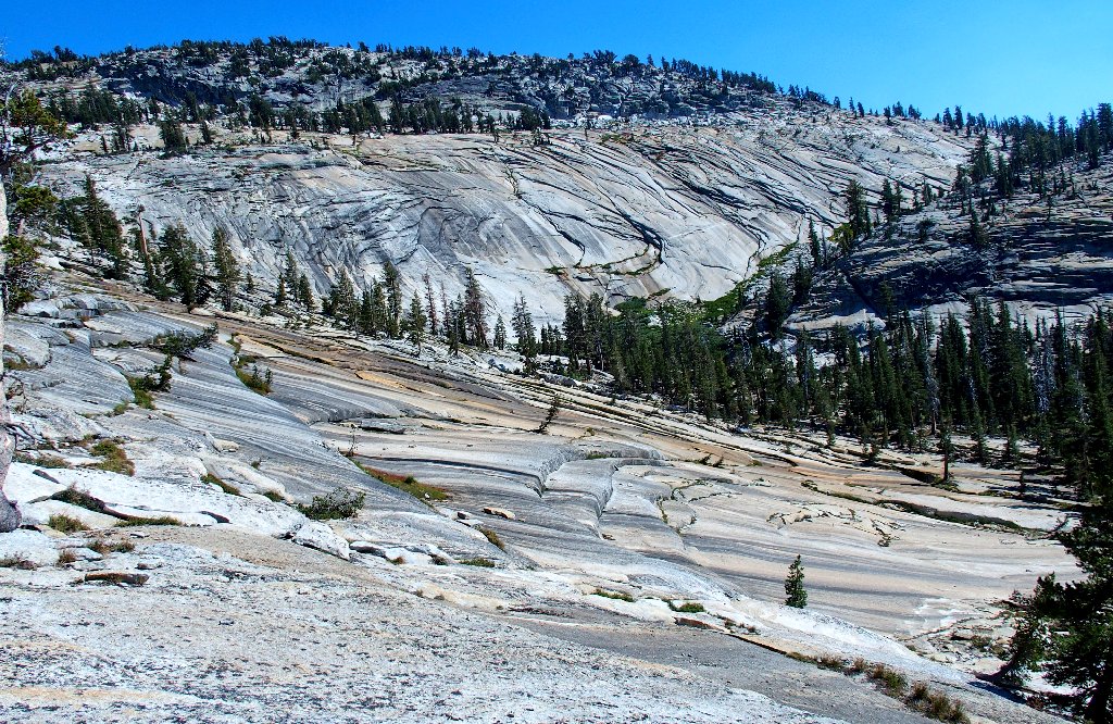
Oh, boy! Slabs!
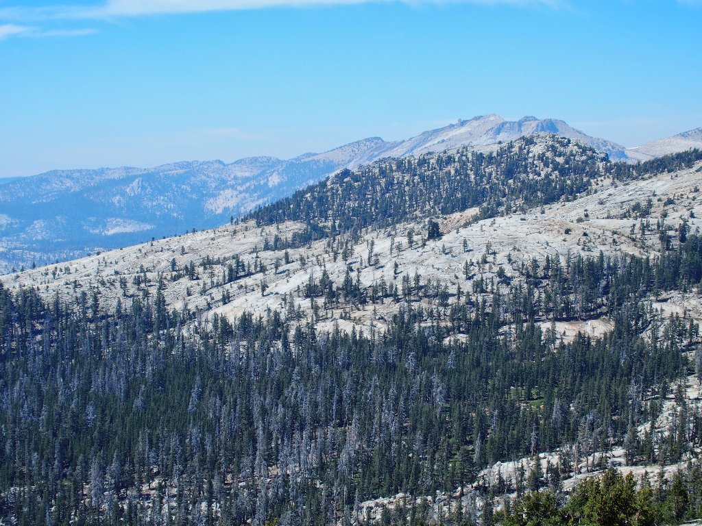
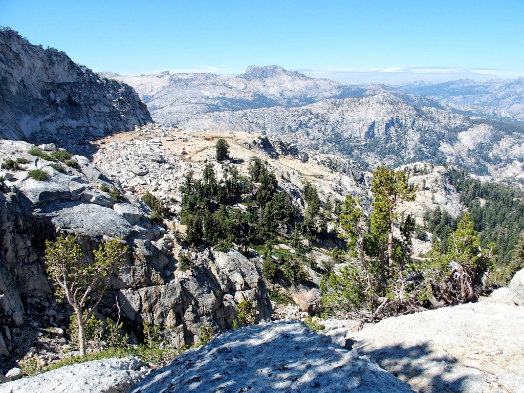
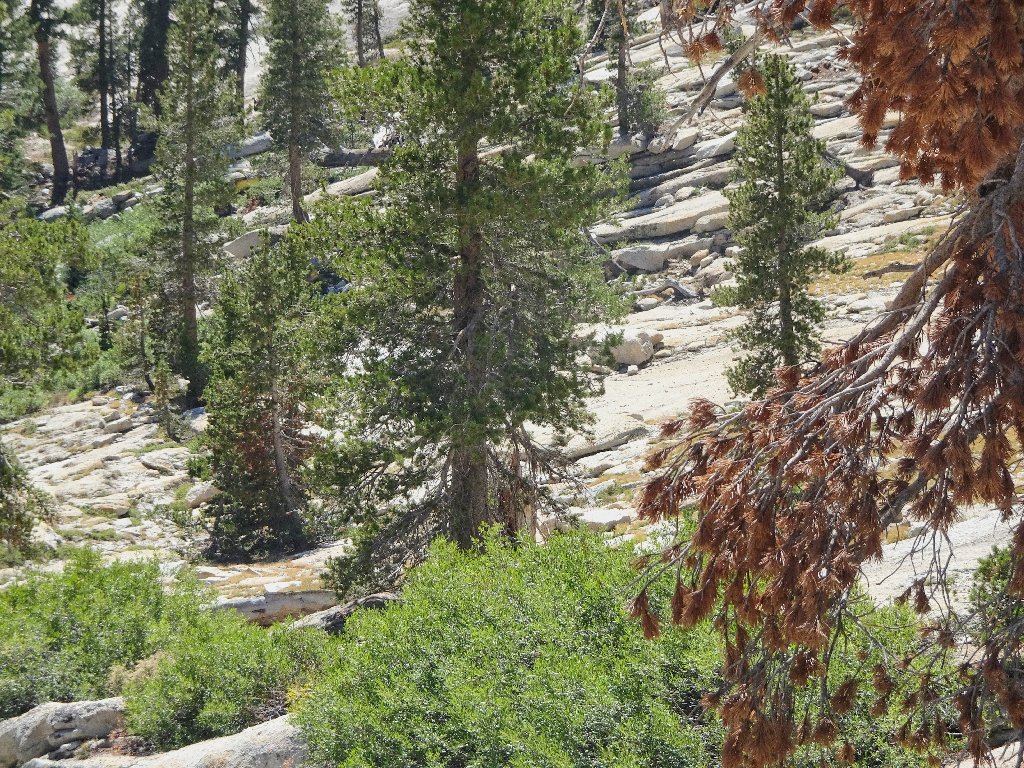
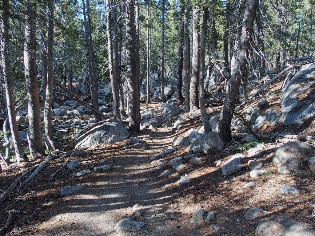
Walking on the smooth granite might not sound like a big a deal to the uninitiated, but it can be a godsend in areas where the alternative is bushwhacking through a deep forest or even using a rougher trail. In any case, traversing the 'Sierra Highway' is a uniquely local experience. Comparable trekking pleasures can be had over in southern Utah, but on rock of a different texture and color.
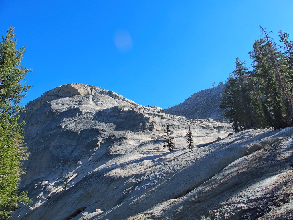
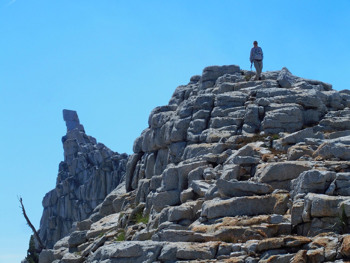
The actual summit of Medlicott Dome is up and to the right
Following along
Two lakes and two climbable domes are up there
Made it! Using the John Muir Trail from Tioga Road, this destination
would have been 3½ miles with 1,000 feet of elevation gain.
Our route has saved more than a mile of walking and more than 250 feet of climbing,
and it was far more interesting as well.
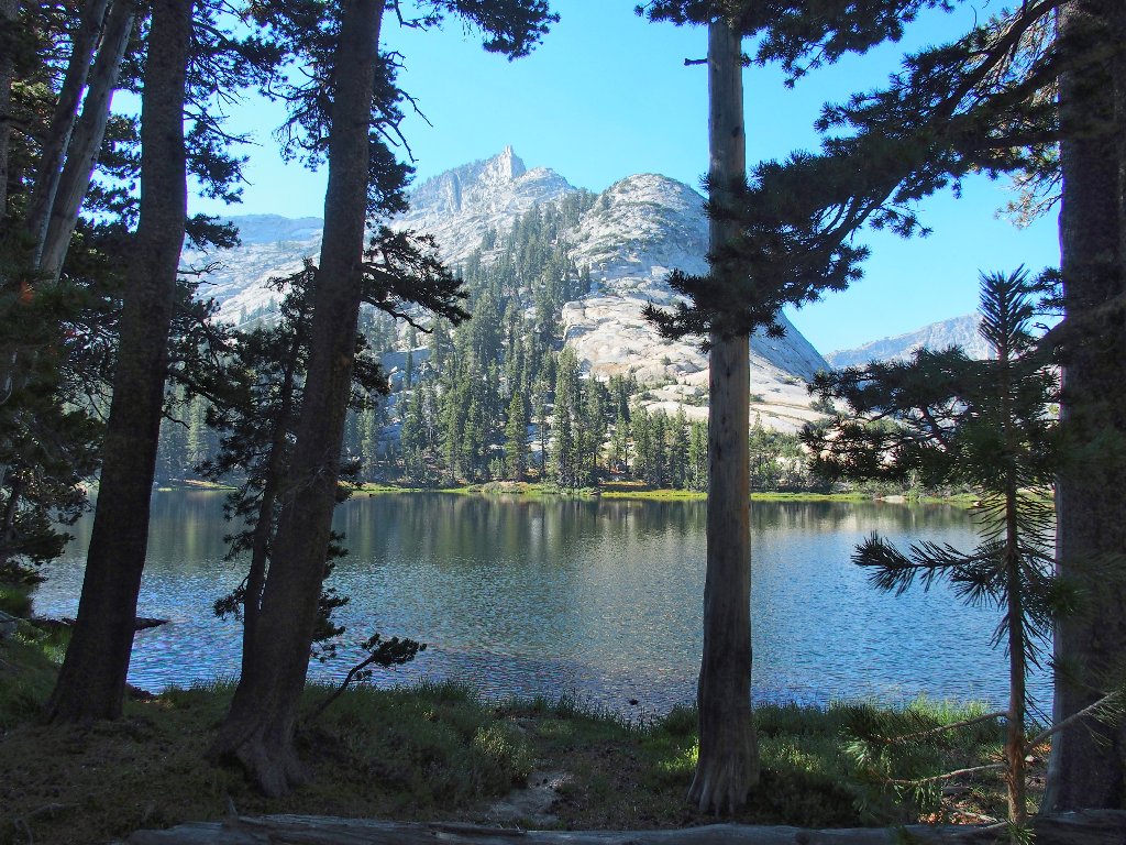
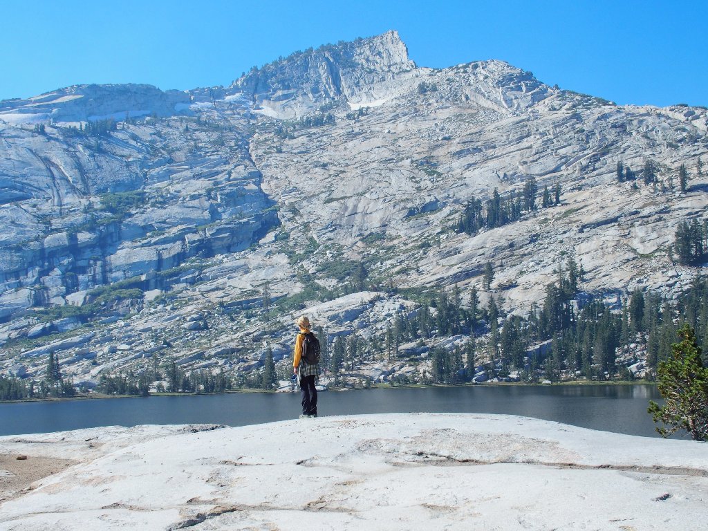
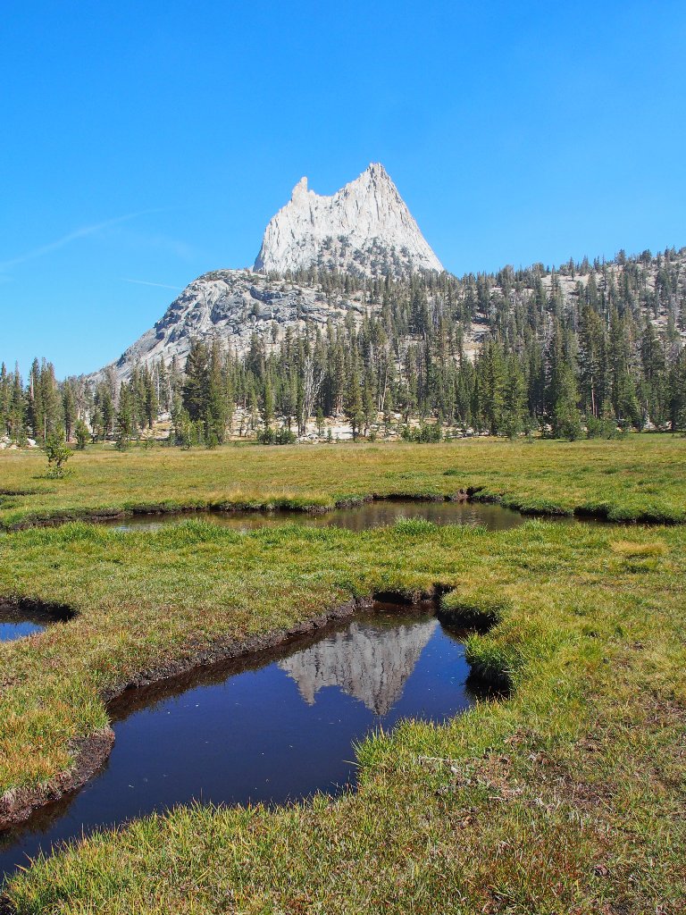
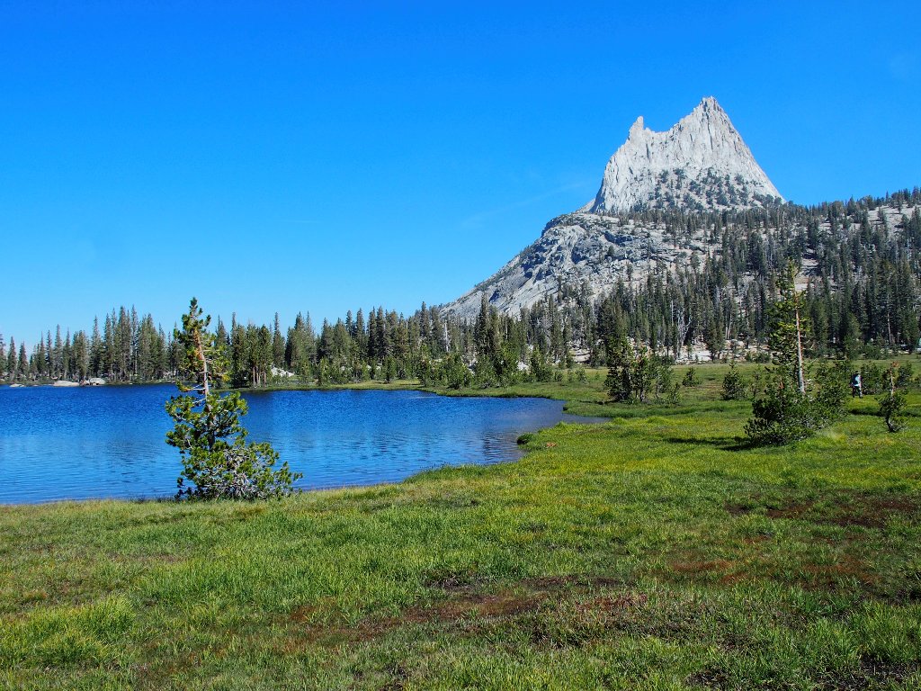
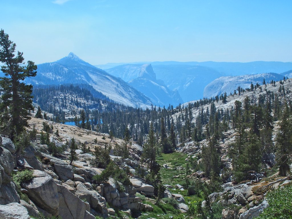
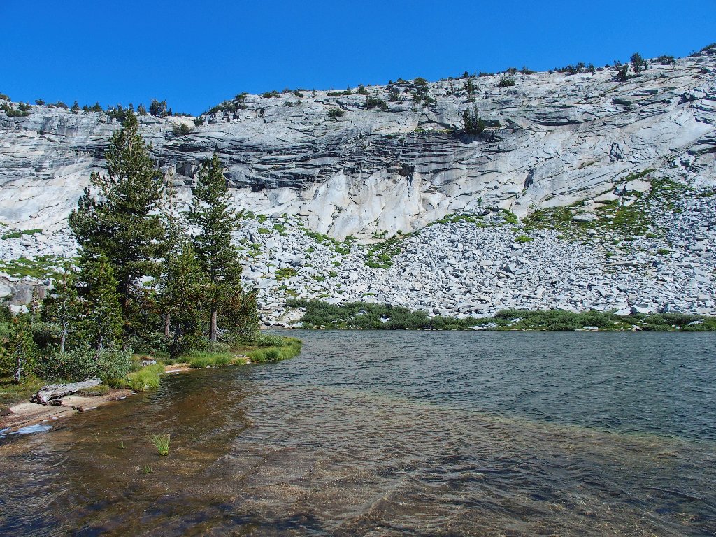
Lower Cathedral Lake
East of the lake is my favorite mountain:
Cathedral Peak, 10912'
Immediately south is another amazing formation:
That distinctive rampart has no name

The lake's inlet
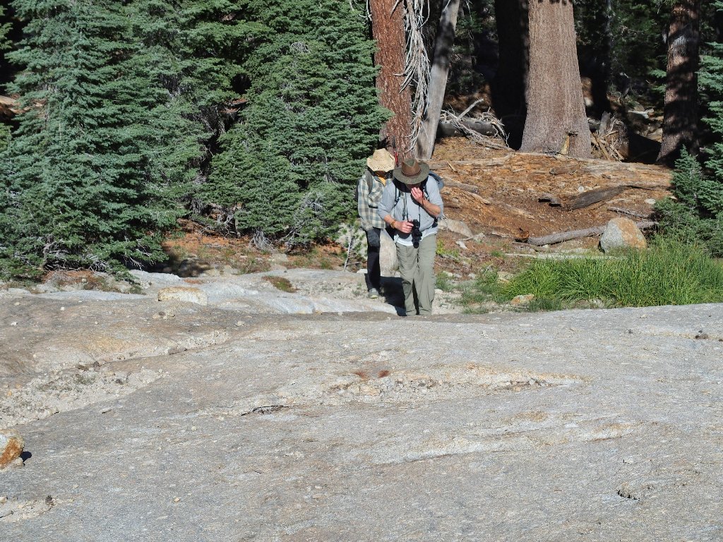
Checking out the scenery
Knowing that it represents more than a quarter-mile of additional walking as compared to an available shortcut, I nevertheless opt to use the spur route back to the John Muir Trail. I mustn't tire my companions unnecessarily!

We won't be on this trail for that long
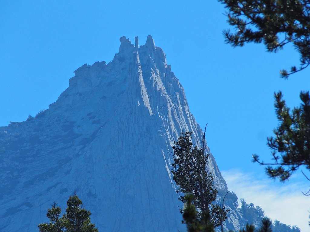
Directly above us now is an uncommon spectacle:
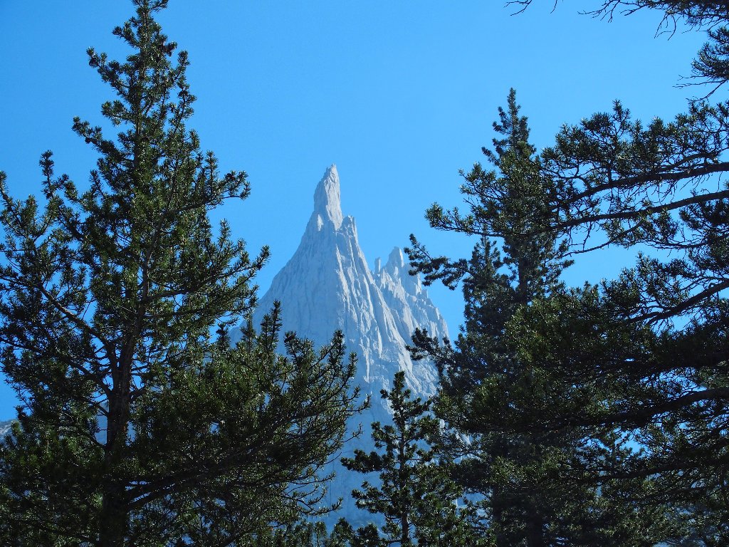
Eichorn Pinnacle
Jules Eichorn was an assistant and music student of Ansel Adams;
he also formed a lifelong friendship with Norman Clyde —
the greatest mountaineer of the first half of the
20th century, and he participated
in several record-setting climbs.
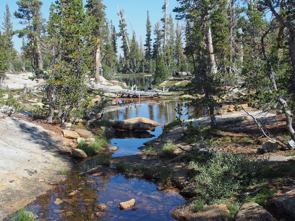
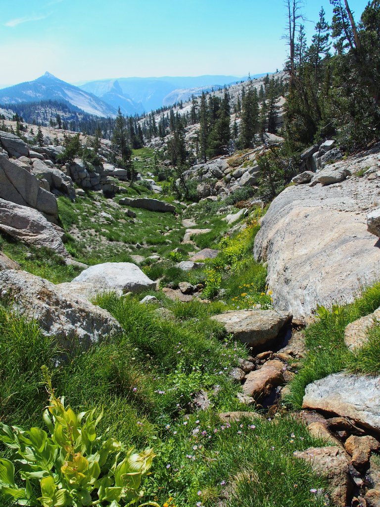
On the JMT
Snack break here
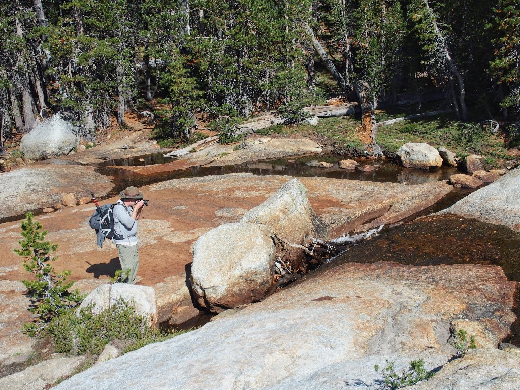
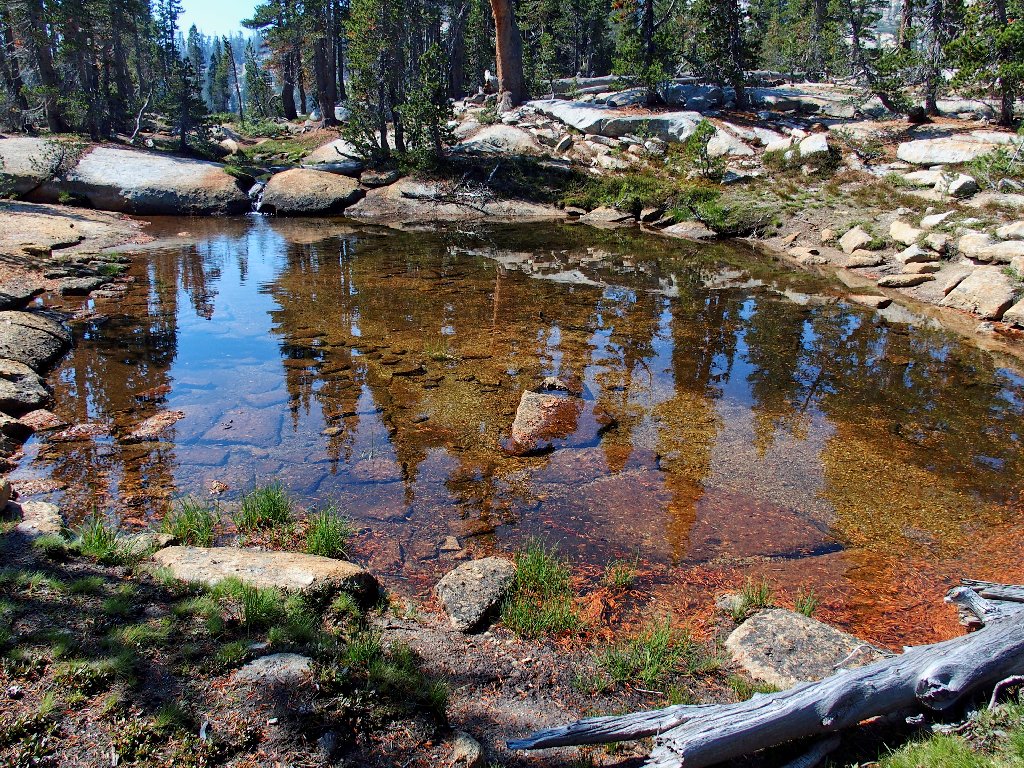
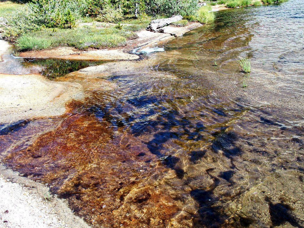
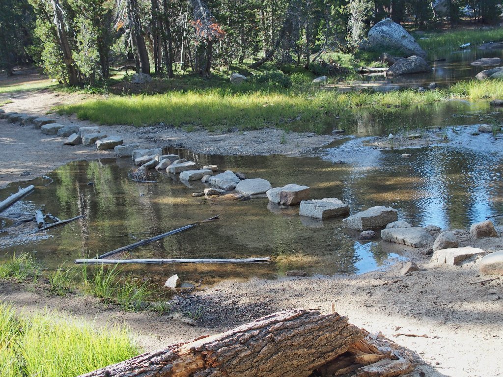
Somewhere in here I suggest a foray into the forest to see whether we can view Lower Cathedral Lake as I did previously. Although that does not work out, we do encounter a nice collection of pools in the barely flowing creek.
My camera is busy
Gary's camera is busy
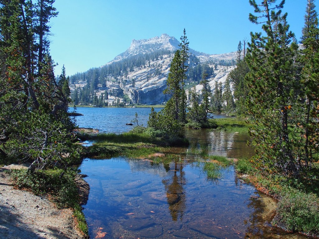
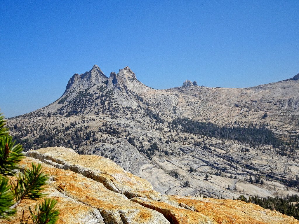
Upper Cathedral Lake and Tresidder Peak, 10620'
That mountain is named after Donald B. Tresidder, the legendary
17-year director of the Yosemite Park & Curry Company.
His name also graces the Tresidder Memorial Union, the social hub of Stanford
University, where he served as President for five years concurrent with his
manifold park projects.
If I were in charge, scenes such as this never would occur
The meadows beside this lake offer photographic opportunities, but there is just enough of a breeze to prevent the water from calming down for a perfect shot.
The best reflection I can manage
Is that a can opener, or a land shark?
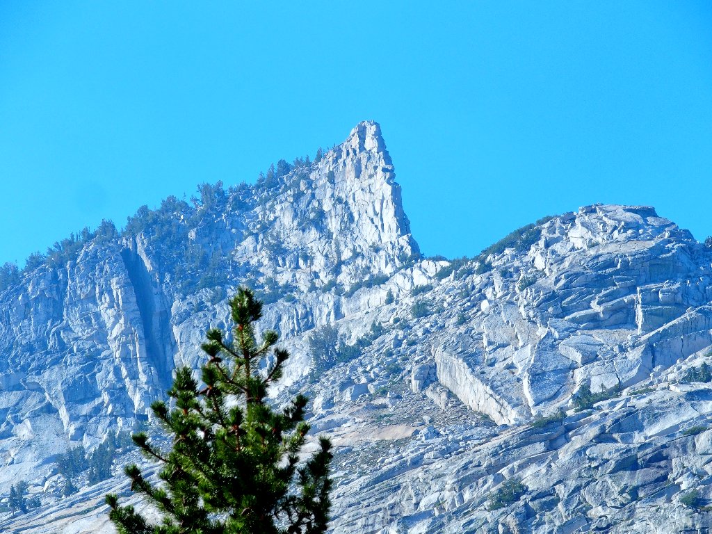
We continue to climb on the John Muir Trail, up to Cathedral Pass. Presently there is a view of the next objective, which the others have not yet spotted.
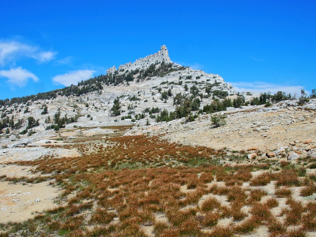
Today's namesake attraction is hiding
Looking south near Cathedral Pass
I presume that the point of that final cut was —
the point!
When the JMT stops heading upward, it is time for us to
leave it and... head upward! To our right is a steep
300-foot slope to negotiate. Within a couple of
minutes, my companions find out why we are doing this.
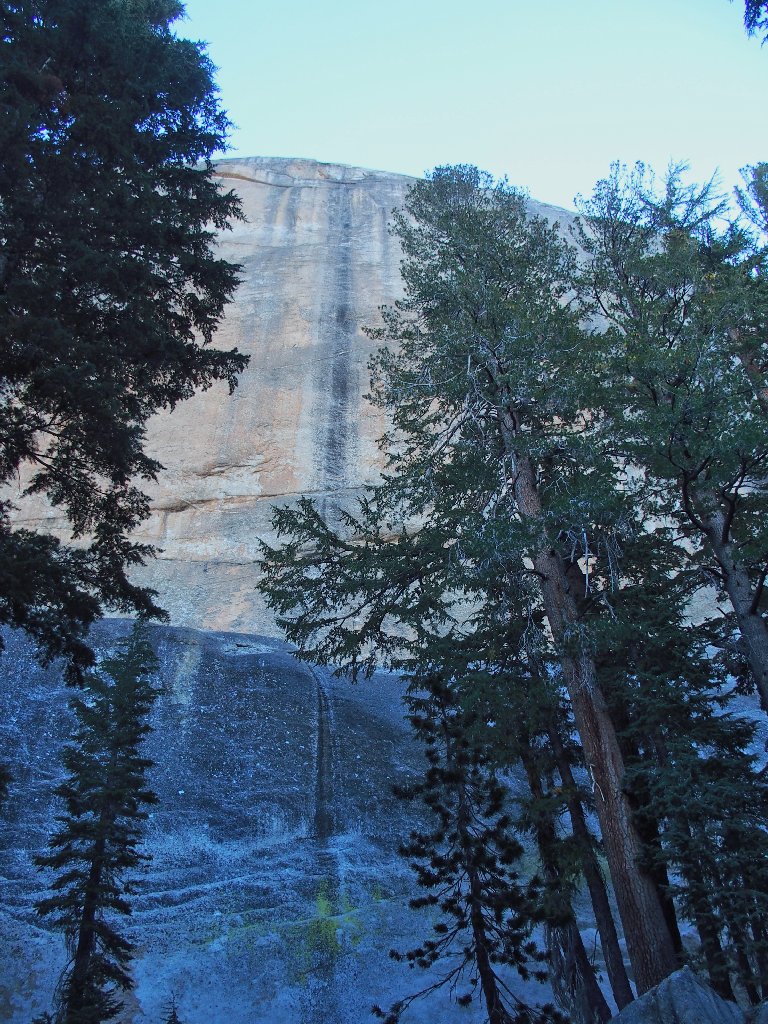
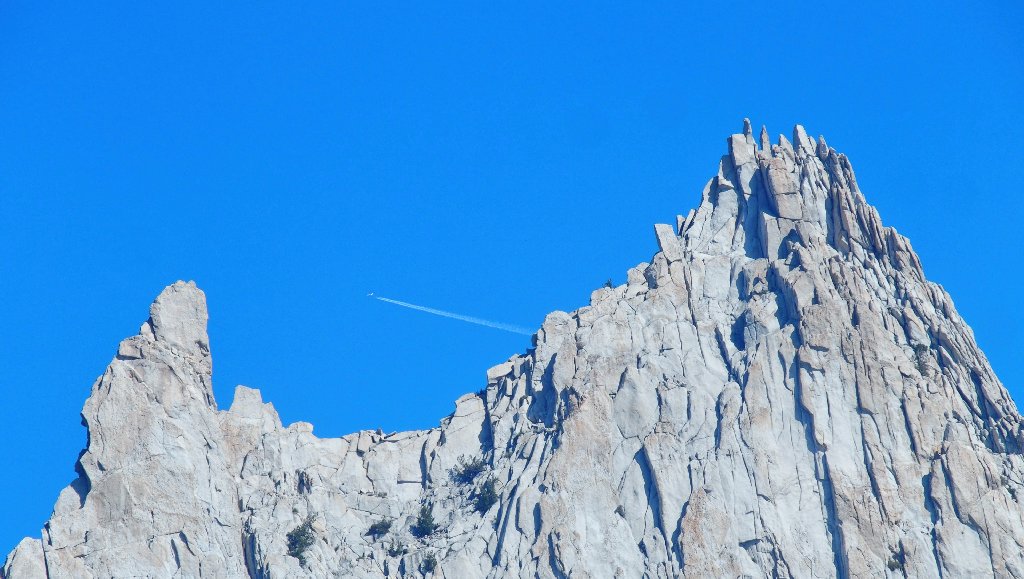
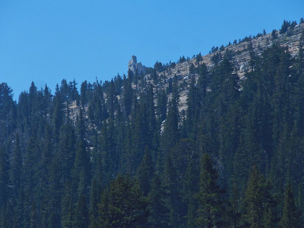
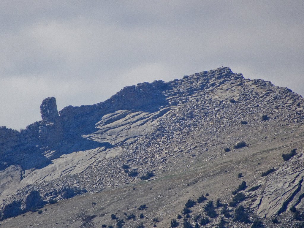
The one-of-a-kind Columbia Finger, 10360'
Atop the ridge, there is room to relax a bit and contemplate
our incomparable surroundings. To our dismay, we discover a lot
of residual smoke from the same forest fire that sent me home a day
early some five weeks ago. As per my recommendation, Gary is
toting his long-zoom camera; but the views southward aren't
going to provide many good photo-ops today.
Echo Peaks and a bit of Unicorn Peak
Matthes Crest
I am irked with myself for not knowing what to expect, because other hiking options were available that would not have been as visually impacted by the smoke and haze. Sorry, guys.
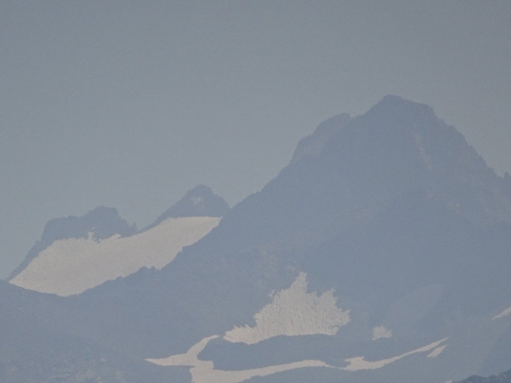
Lyell Glacier and Mount Lyell — biggest and tallest in the park
No one appears to be on Mount Hoffman today
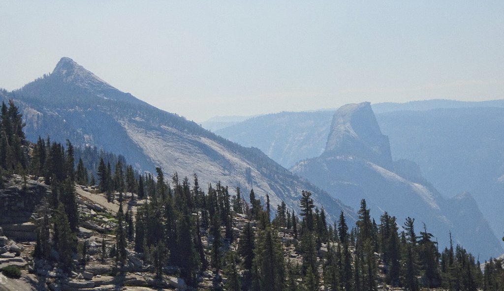
Clouds Rest and Half Dome
I don't envy the hikers over there today. What a
relative waste of a hard-won permit.
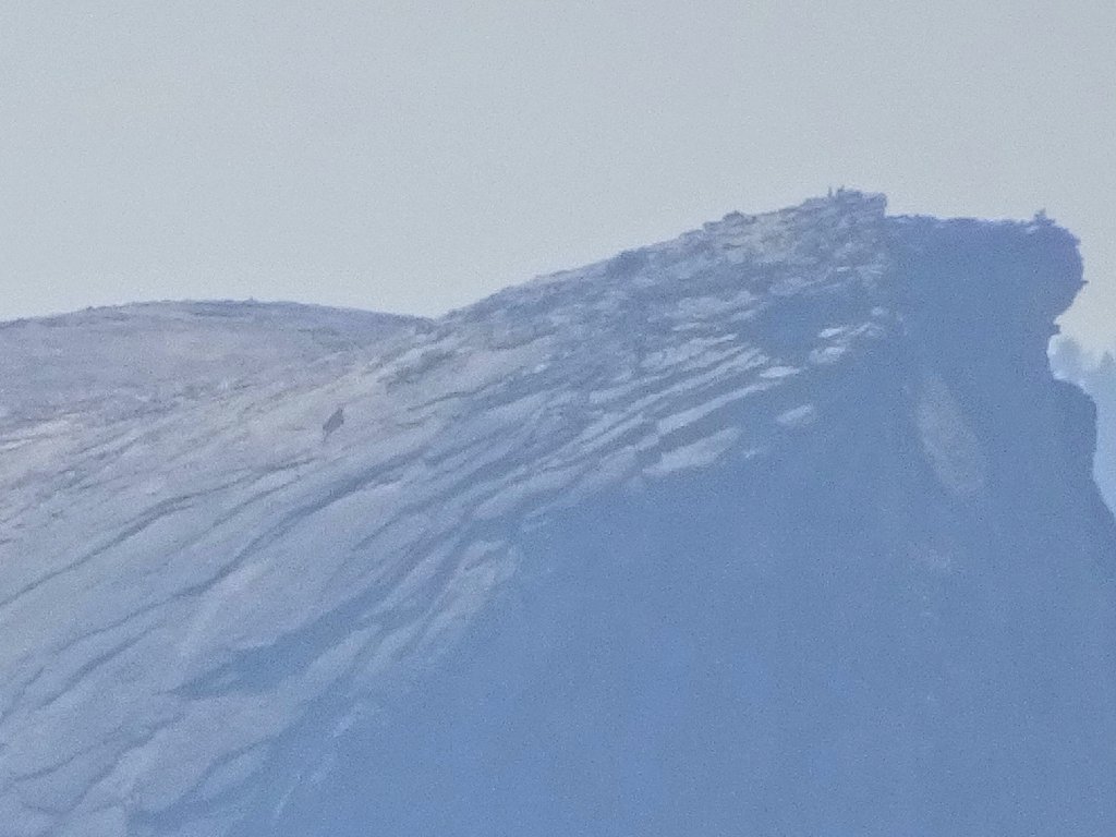
Activity on the Half Dome Summit
Oh well, it's better to concentrate on the nearby stuff, which is quite wonderful.
A luncheon bench has been provided
On my previous visit, I photographed a woman coming down off the iconic formation and had resolved to get a picture of myself doing the same thing. It turns out that the rock pile I select is not the same one as in the other photo, but I like it anyway.
This is why I go hiking
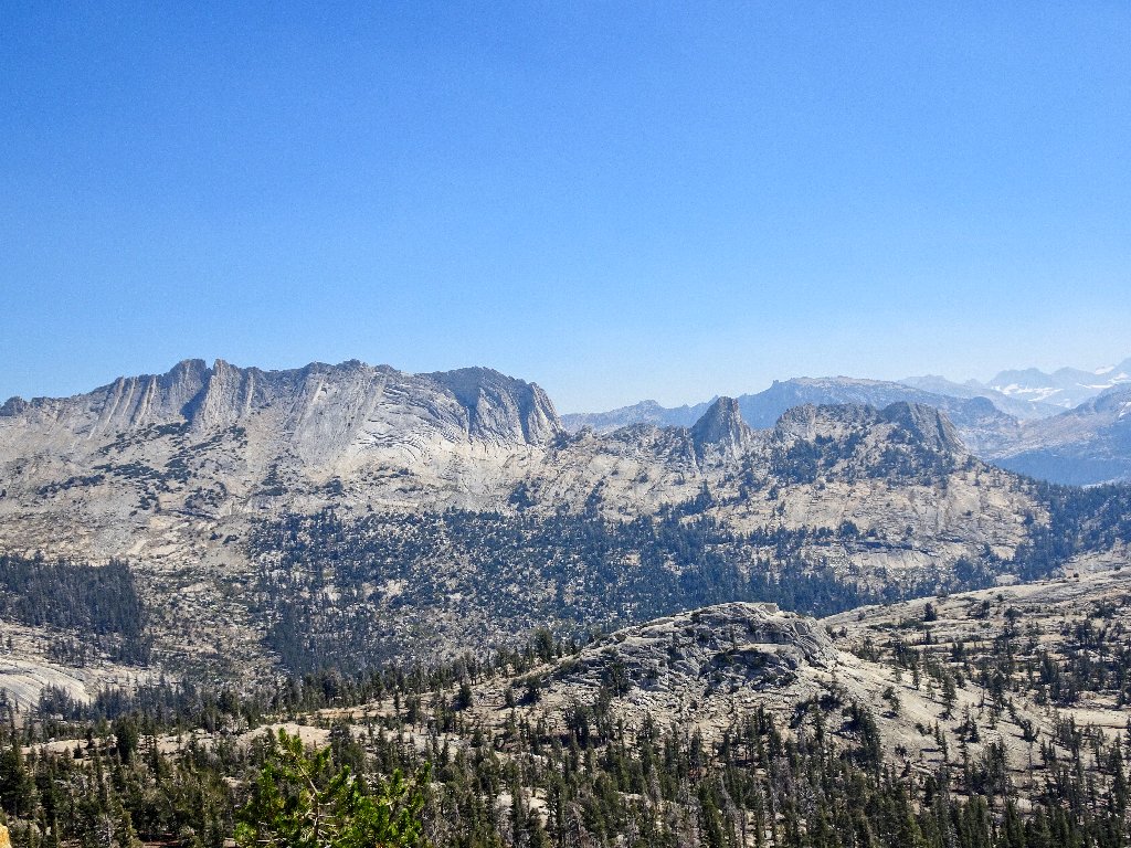
Needing to travel west from here, we could drop down into Long Meadow and then back up, but that would leave us at the precipice of a sheer cliff. Instead we will loop around to the north, keeping our elevation up; this is easily done.
We're heading over toward Tenaya Peak
South face of Tresidder Peak
Northwest of Columbia Finger

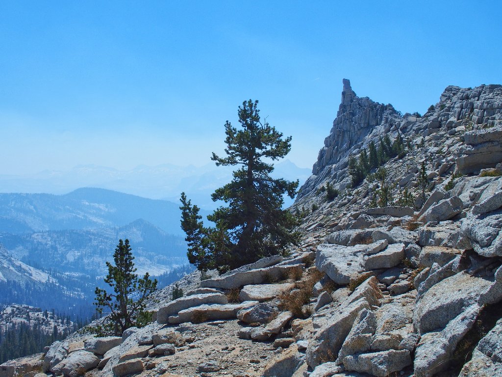
Approaching the notch
Some use this canyon to access Tenaya Peak
At this juncture I become a bit discombobulated.
Based upon my five-year-old journal, I had anticipated a
nifty view of a corner of Tenaya Lake from this point.
That does not materialize; instead, the three of us are looking
down at a strip of green stuff and pools of water that I did
not see on my previous trip.

This could have been the stuff of a superlative photo without the smoke
After a false start toward the east, I realize that that isn't right; so we venture over to the lip of the hill to have a look.
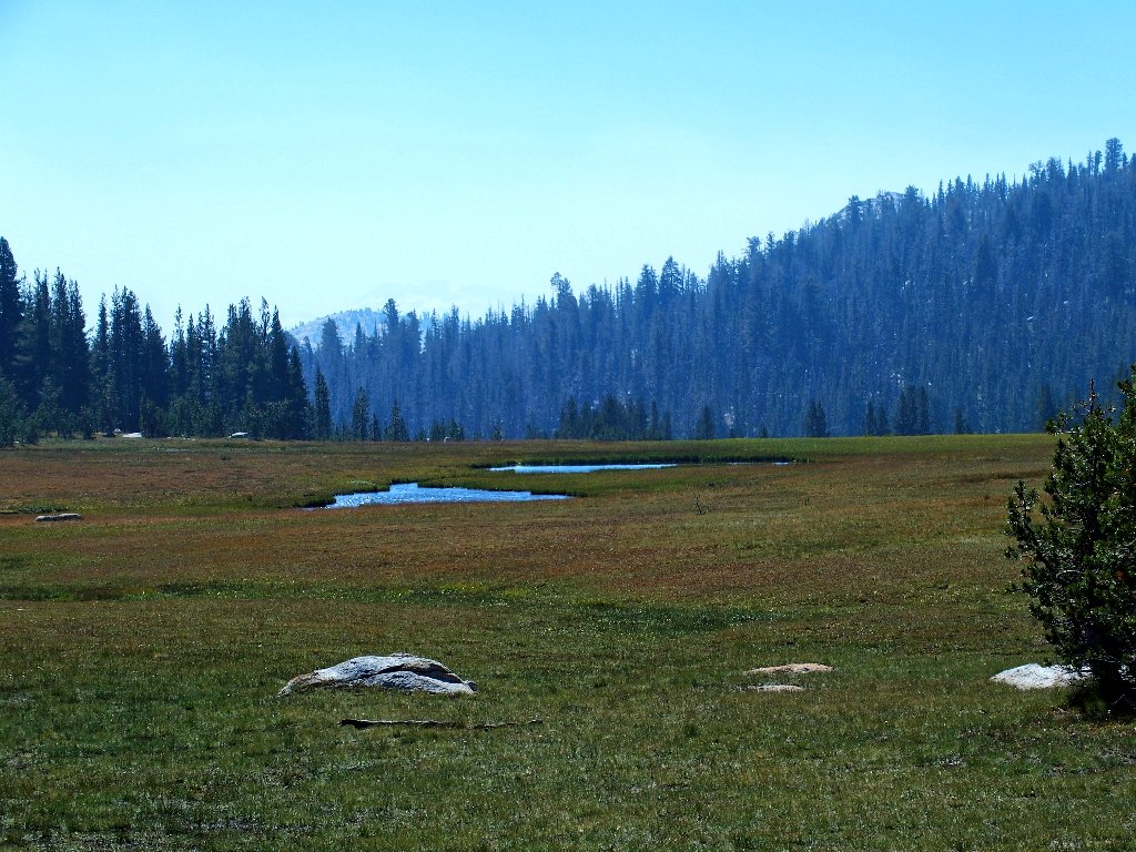
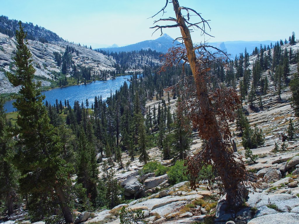
First view of Mildred Lake
That lake is the next objective, and my companions are amenable to clambering straight down; so we do that.
Shooting the chute
Are we having fun yet?

Study in abstraction
Elephant Heads
That was delightful
Getting closer
Pausing for a break here, I spot a bear wandering around below. Gary, having never seen one in the wild, observes some movement; but neither of us is able to capture any sort of shot of the animal. Pshaw.
Now it's there, now it's not
We continue down toward where the bear was sighted, but with no luck.
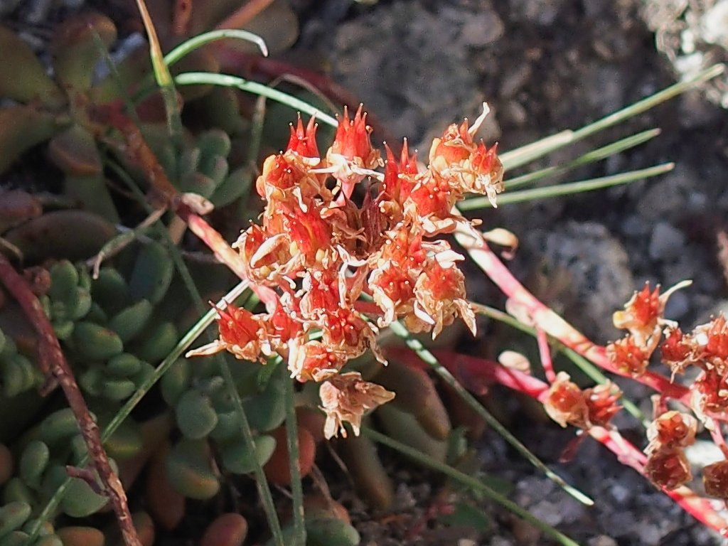
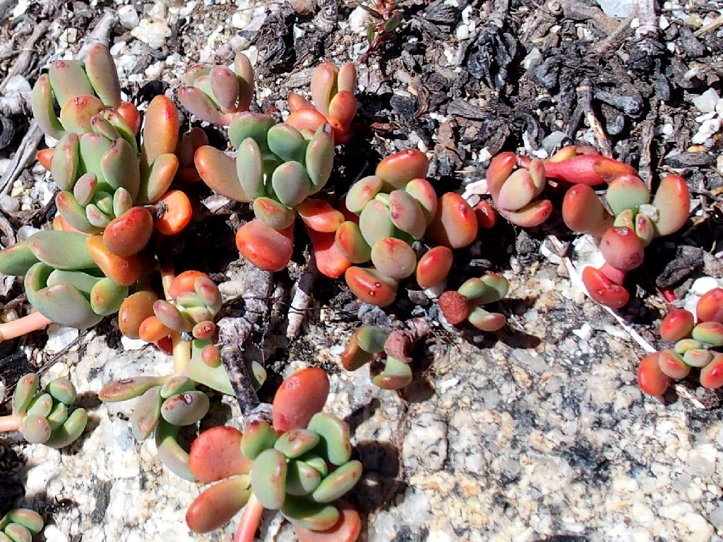
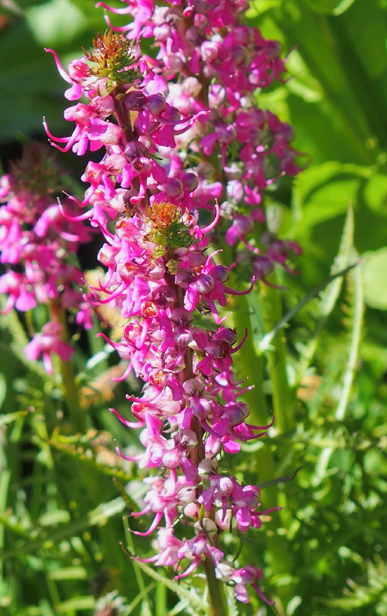
Sierra Stonecrop
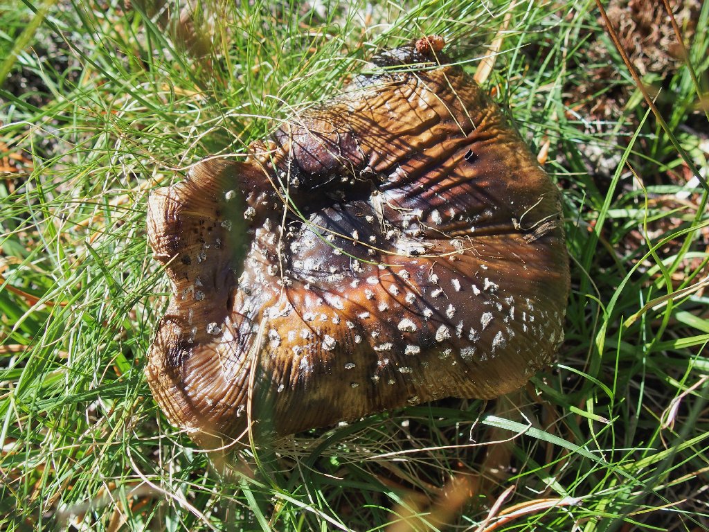
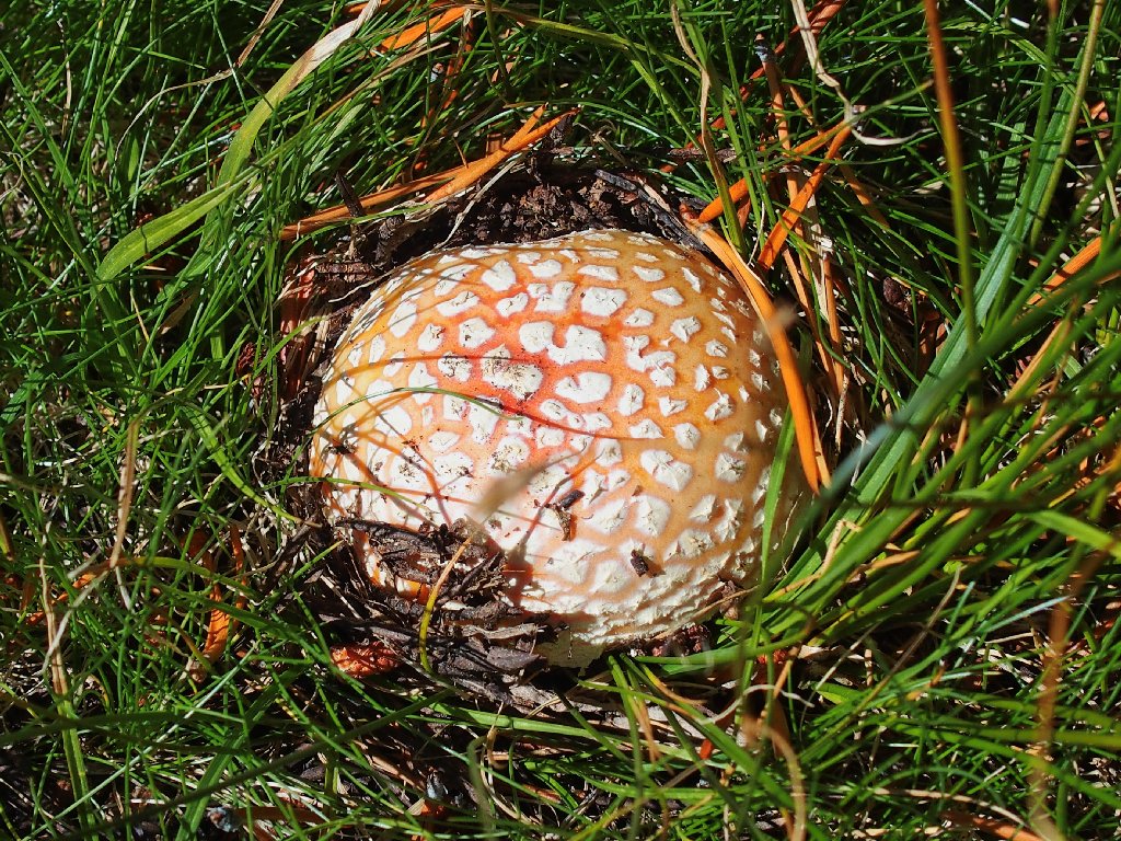
This one is called a Fly Agaric
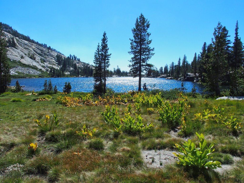
Mildred Lake is as mellow as can be
Although I am no stranger to the phenomenon, I still find it incredible that the three of us could actually be alone in such an utterly beautiful spot, in the middle of an utterly popular national park; yet I'm certainly not complaining, mind you. Neither is Sharon, who predictably heads for the water's edge.
This is why I leave the established trails
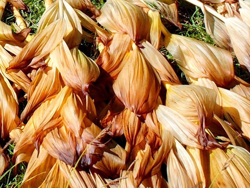
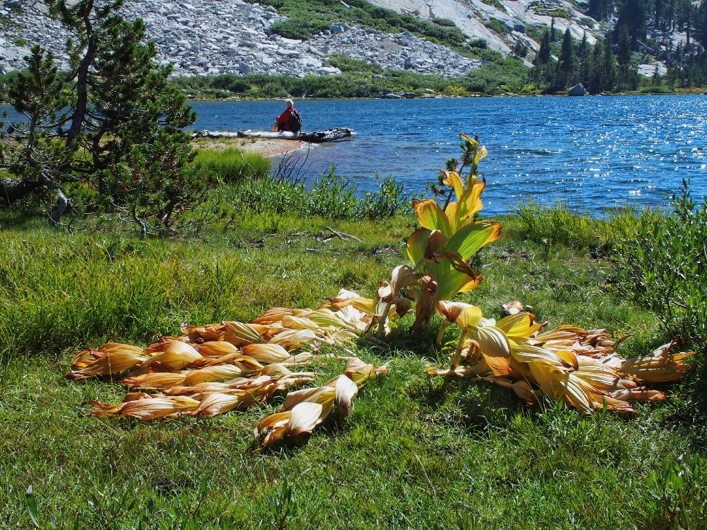
The Corn Lily leaves look like tamales
The aforementioned impassable cliff
That's not murky water; it's crystal-clear
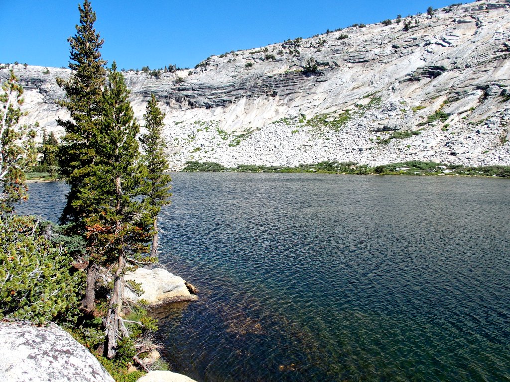
I have not visited a nicer lake to which there is no trail
As we traverse the lake shore, suddenly I am startled by two big birds taking flight from the bushes. One remains in a nearby tree:
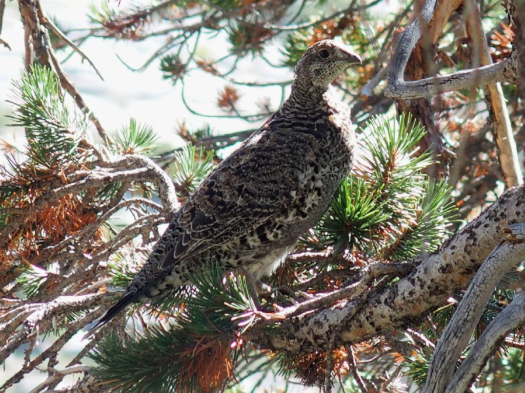
Sooty Grouse
From this southern end of Mildred Lake, it is just a matter of making our way down another 1,400 feet, heading westward toward Tioga Road as we go.
We'll forgo the one-mile shortcut over to Sunrise Lakes
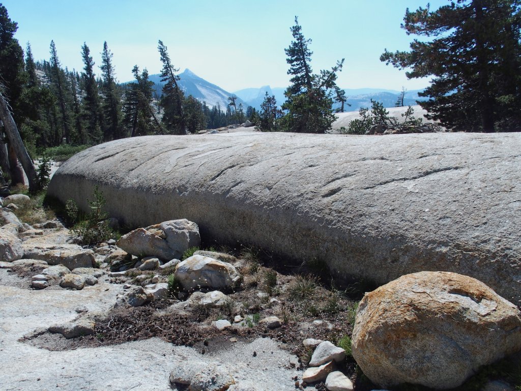
Those slabs could provide a spectacular show in the springtime
Sharon's big stick of garlic bread
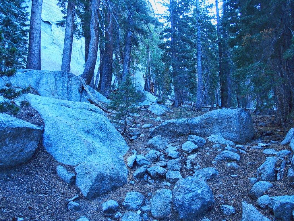
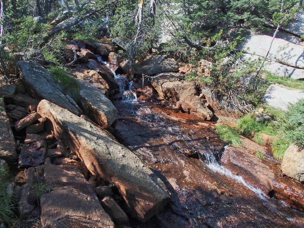
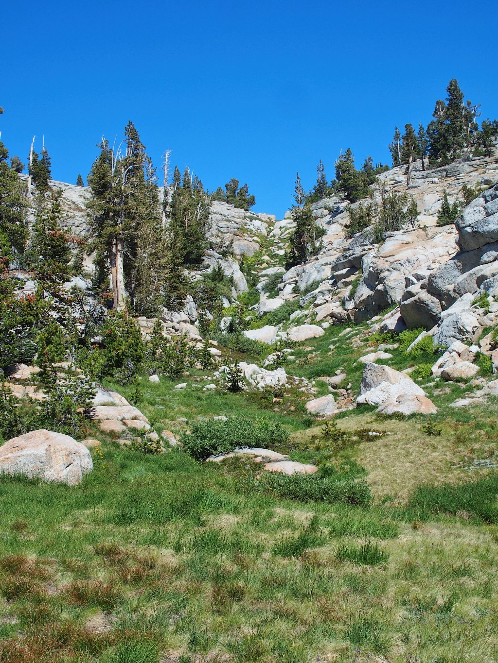
If water still were flowing here, our descent would be more problematical; but as it is, we can utilize the creek channel to advantage.

The easiest way down
My GPS says that we are within a mile of the car now; but after a forced bushwhack through and over some trees, it occurs to me that heading more directly toward a known trail might actually make the trek easier.
Someone has marked this as a good route
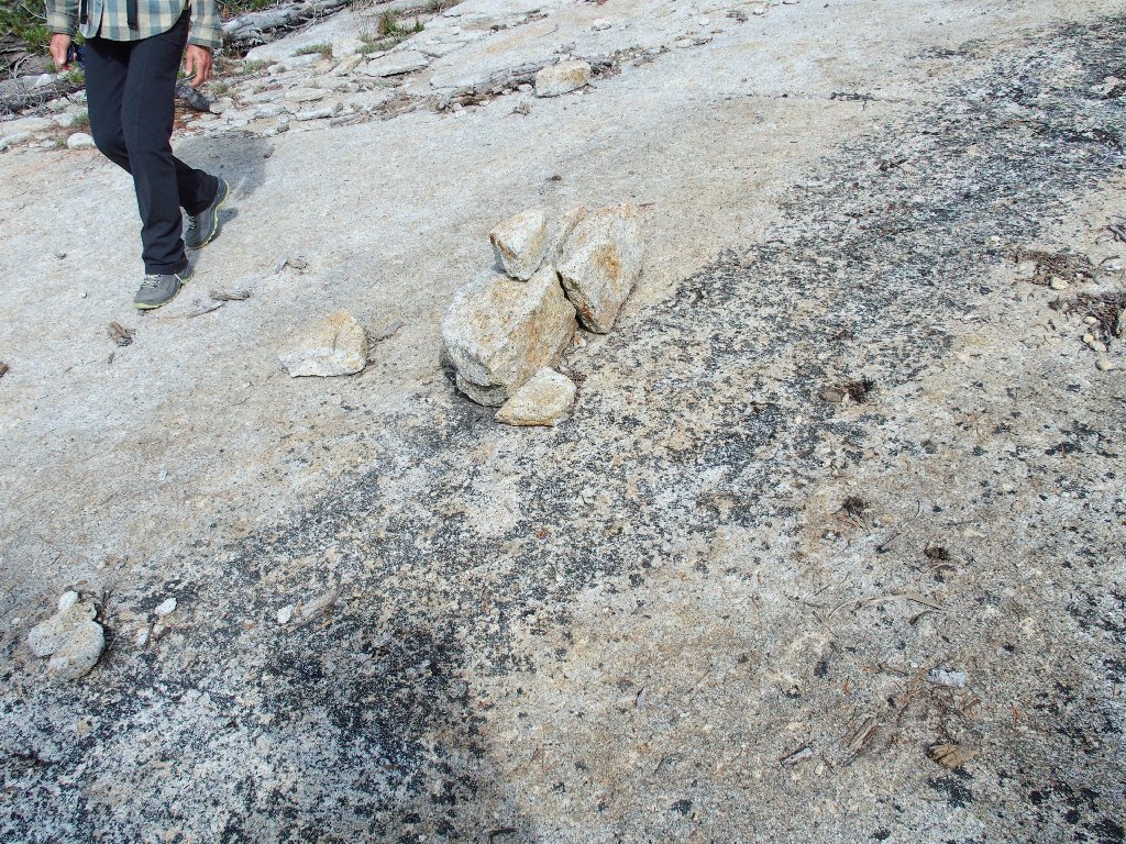
Well, this 'detour' costs us about half a mile of extra walking; but it does get us down to the Sunrise Trail, where we spot something on a granite mound that would not otherwise have been seen:
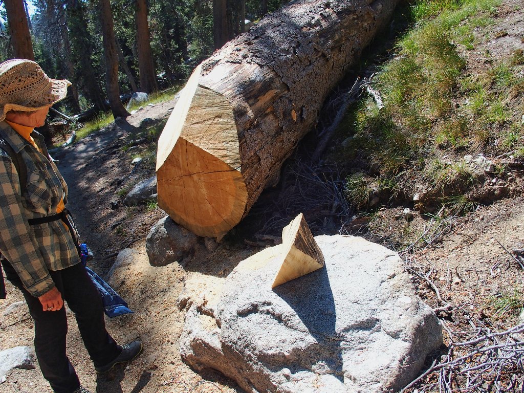
"Serendipity Rock"
Now we are farther from the car than we were a half-hour
ago; but it was worth it, and it's easy going from here.
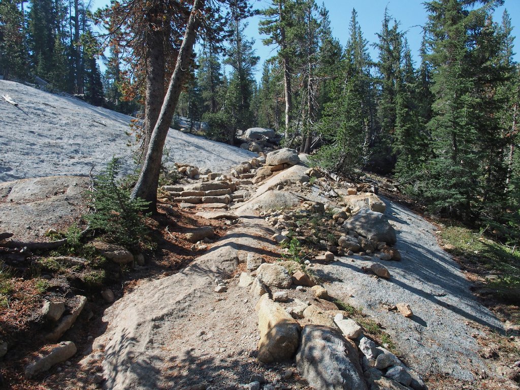
Sunrise Lakes Trail
Crossing Tenaya Creek near the finish line
§: Well, I had a wonderful time, of course.
What was expected to be mostly a repeat walk for me turned
out differently, for I visited some new and interesting places
today. Although we did spend eight hours on the trail and
diverged from the plotted course, I never had the slightest concern
about completing the mission in a timely fashion.
I promised my friends a Ted-Hike, and that's what they got;
I hope that they enjoyed it as much as I. Because of the
smoke, however, I cannot give this outing a top rating.
As for you, plan to do this one when forest-fire smoke
isn't pervading the air. Scenic vistas don't get much better
than on this loop. Also, it would not be that much more
difficult to amble over and scale Tenaya Peak itself, if
peak-bagging is your thing. When descending from
Mildred Lake, simply try to remain in open areas as much as possible,
and out of the forest. It's impossible to get off-track,
because as long as you continue downhill you cannot help but run
into the Sunrise Trail eventually.
| Scenery |  |
| Difficulty |  |
| Personality |  |
| Solitude |  |
| Adventure | |
| Air Quality |  |

For more ideas on how best to arrange this trek, consult the journal of my earlier outing here: [Hike #182: Columbia Finger]
