
Tahoe National Forest
|
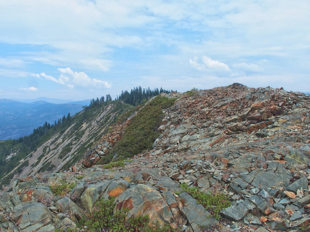
Wabena Point Tahoe National Forest |
September 6, 2017
Despite having lived around here for most of my life, I never have driven
all the way between Foresthill and Soda Springs. There is a 25-mile
unpaved section of unknown quality. My new Outback and I will explore part
of it today, up to an historical site that I have read about.
On Soda Springs Road
Although it is graded, the route proves rougher than expected.
Admittedly I am taking it easy on my new car with an average speed of only
about 10 miles per hour.
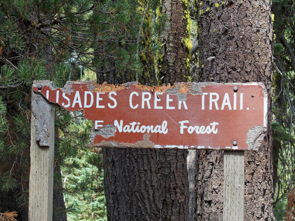
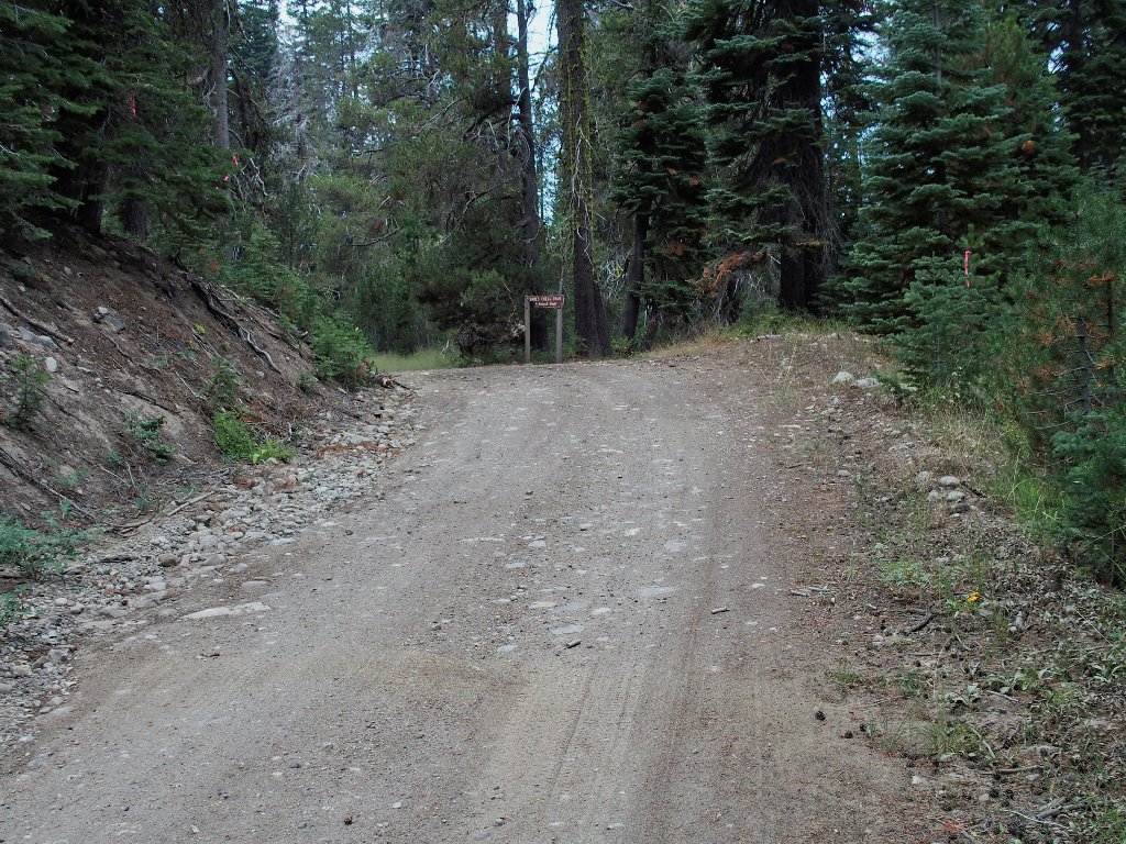
This is the turnoff
The other end of the Palisades Creek Trail is up north, near
I-80. The signposts are just as dilapidated up there.
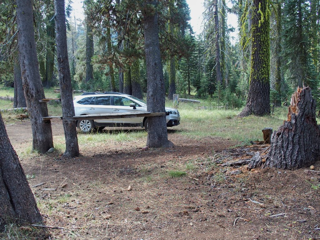
I probably will have the parking lot to myself
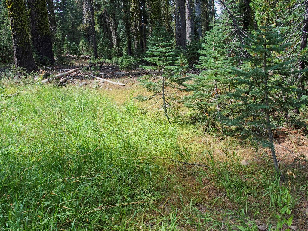
There are no readable instructions around here; so I set out in a promising direction, which doesn't get me very far.
Dead end
My map suggests that I must cross the creek bed eventually, and that does work out better.
There are a couple of footprints over this way
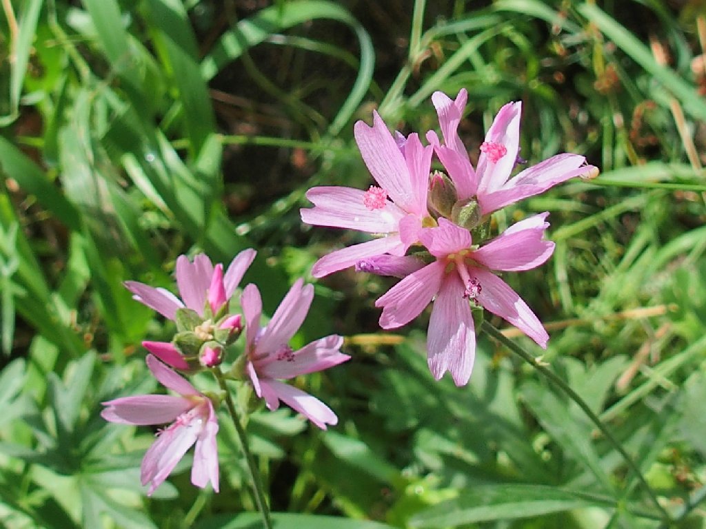
Oregon Checker-Mallow
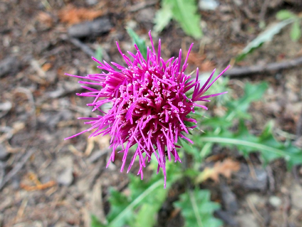
Anderson Thistle
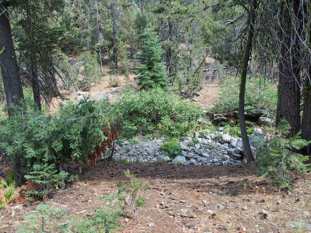
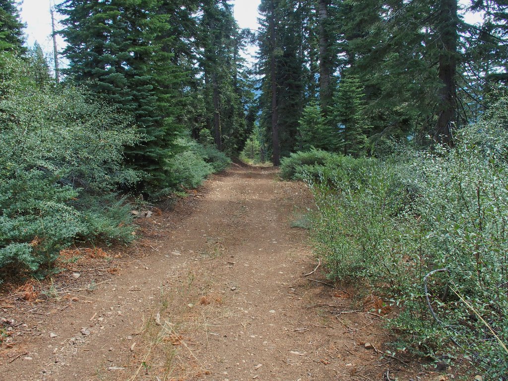
An old two-track is heading in the right direction; this is good.
No tire tracks on this one
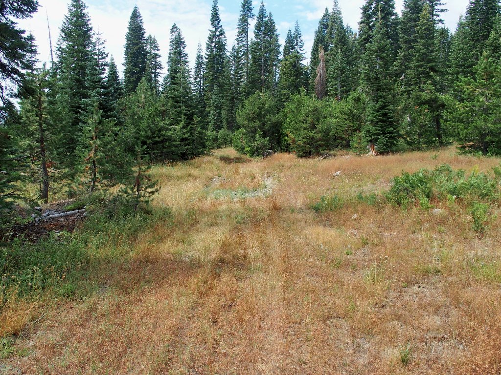
The road morphs into a barely discernible trail
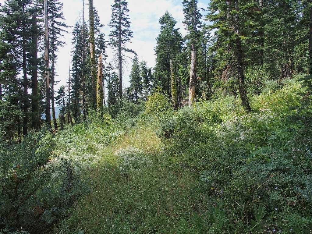
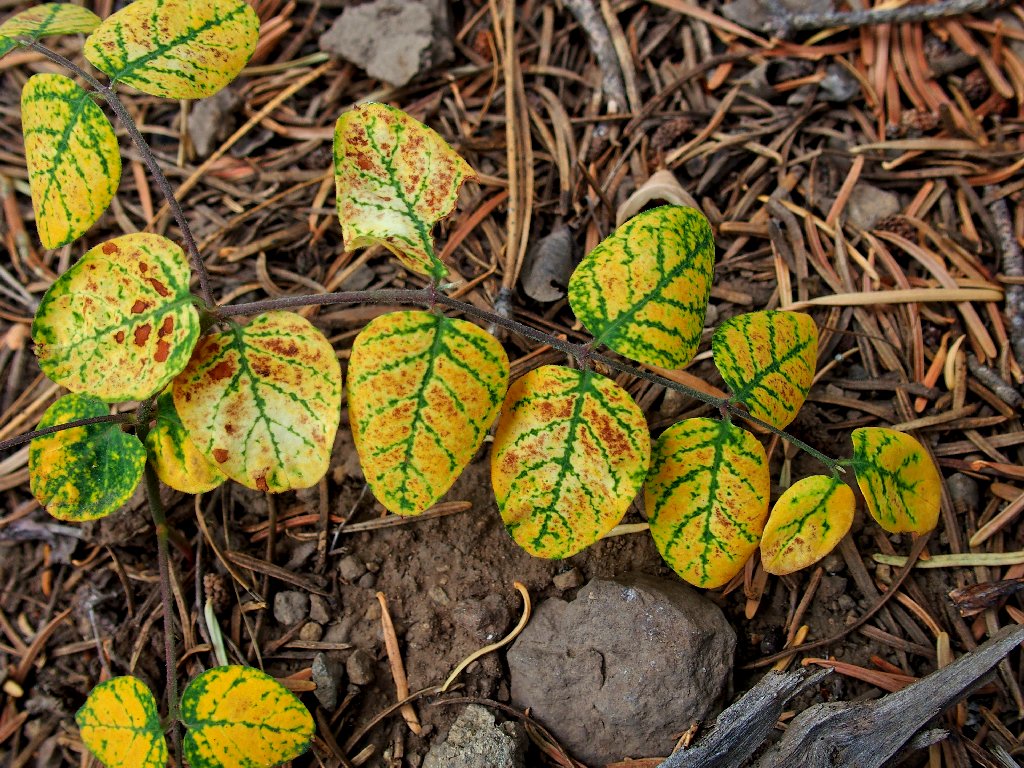
I find myself in a grove of ferns and a few late-season
flowers. The route is becoming ever more faint, however.
In fact, I presently lose track of any semblance of a road or
trail; so naturally I resort to my standard tactic of bushwhacking
straight up through a manzanita patch for a hundred feet or so.
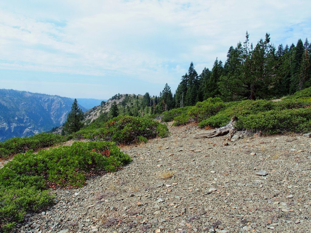
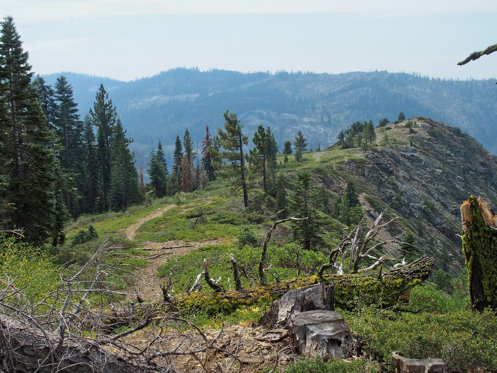
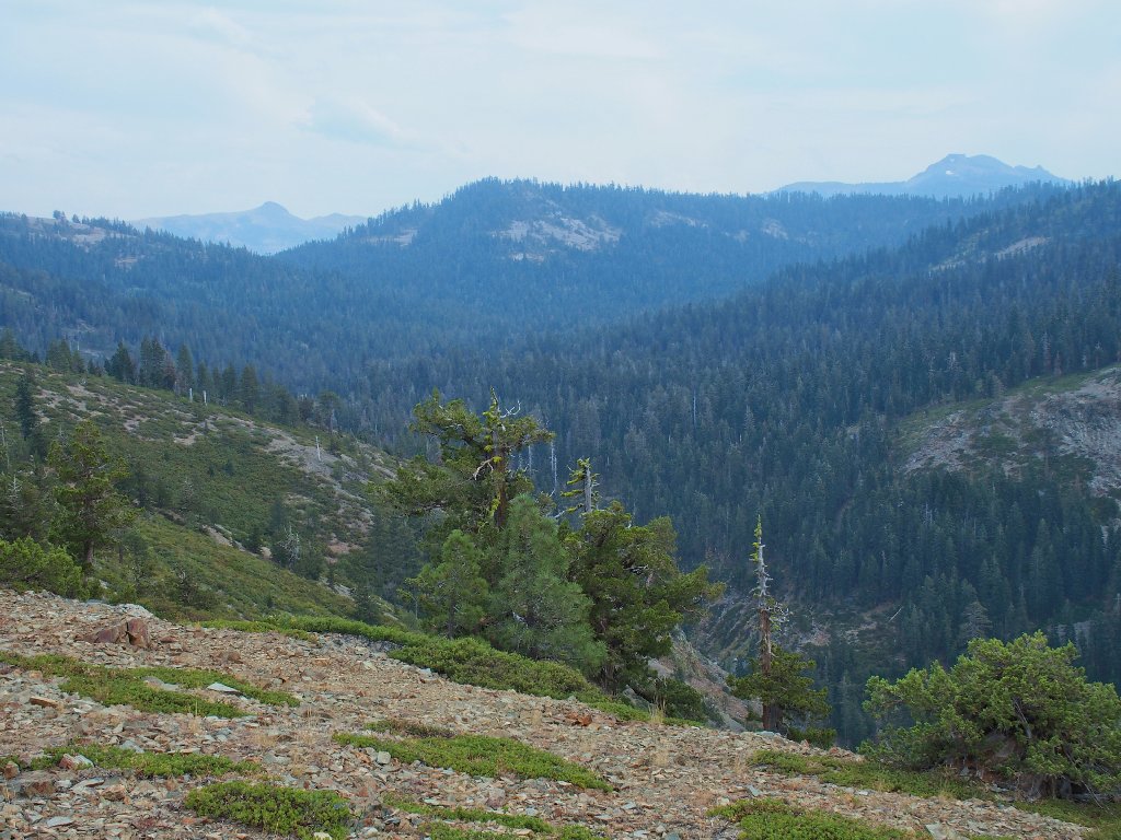
At least now I can see the presumed objective over there
In short order I do encounter a roadway. Perhaps I had merely missed a switchback somewhere. In any case, it leads right up to the top of the near ridge.
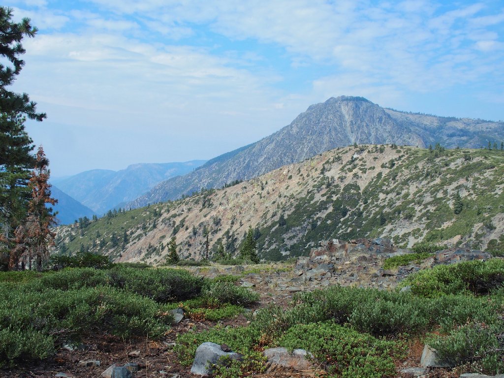
Snow Mountain, 8014'
Aha! That looks like my destination — Wabena Point
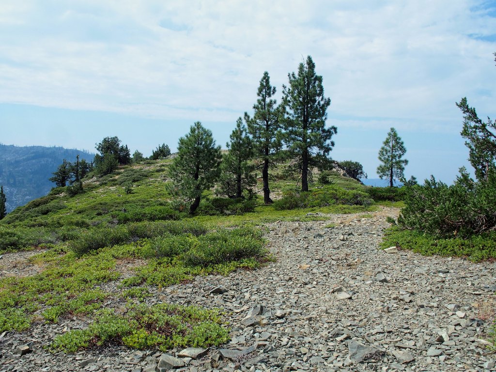
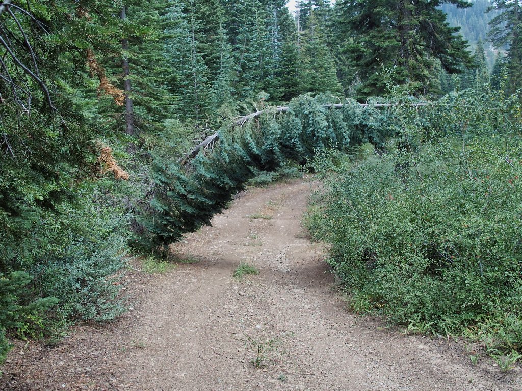
This path has seen plenty of use over the years
Upon reaching the promontory, I immediately head around to the left and beyond it to some cliffs, assuming them to be likely spots for some native art. It is clear that many other hikers have come this way, even though scrambling down the steep scree slope is difficult.
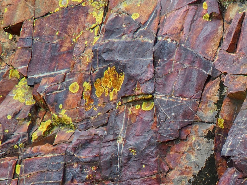
The rocks are beautiful, but there are no etchings
Lots of color, though
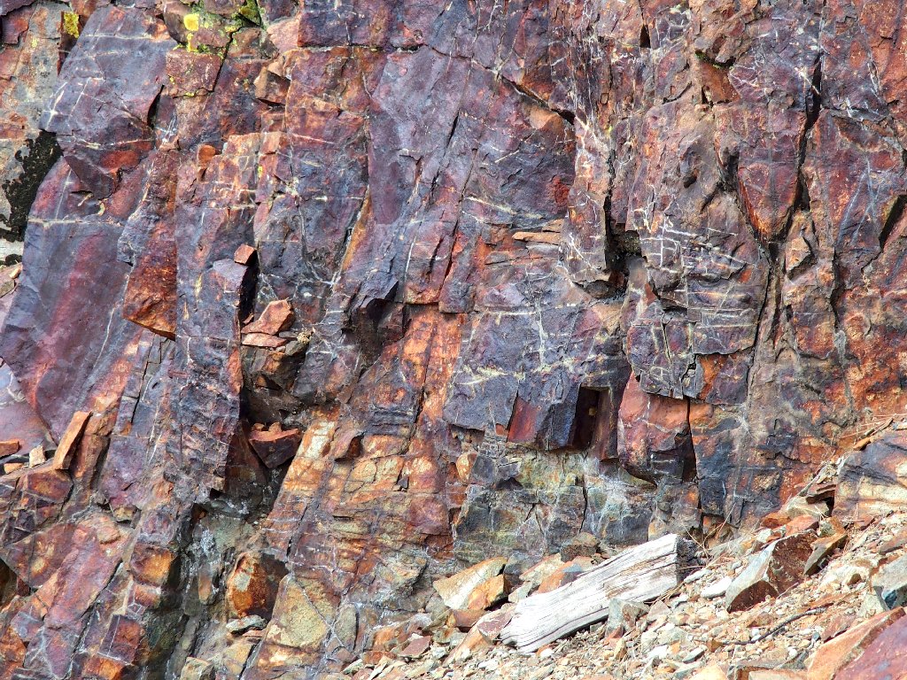
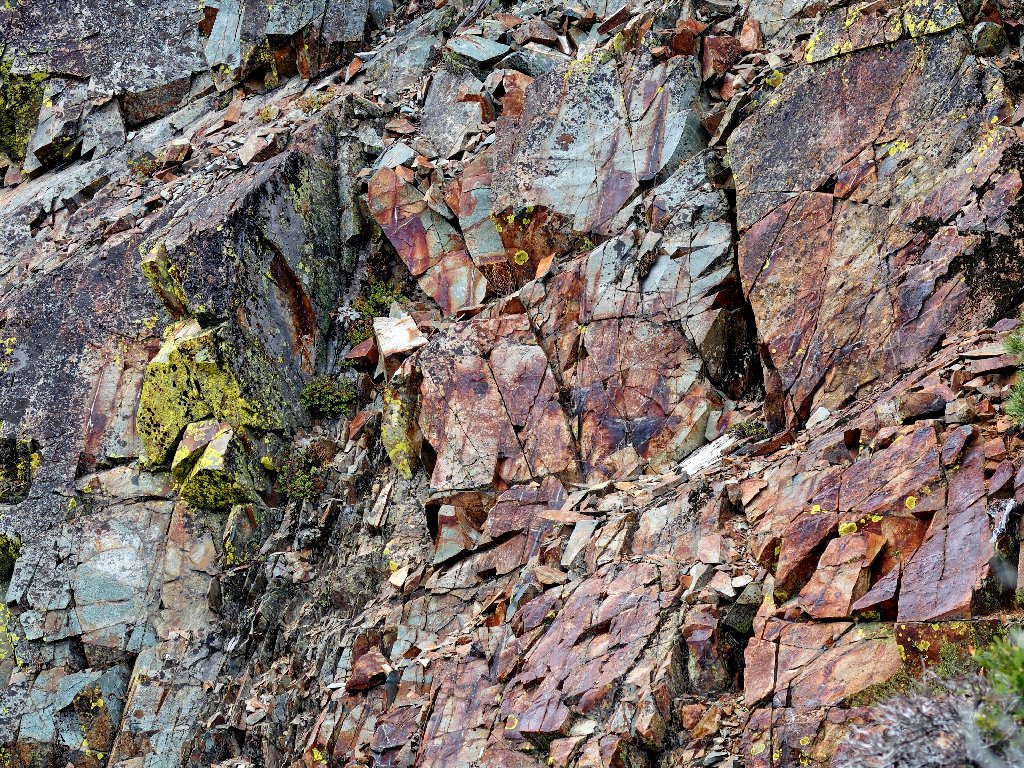
The little white dikes are fascinating
Well, I'm not going down any farther, because this scramble
is hairy enough already. I climb hand-over-hand
back to the top, planning to stop and have some lunch.
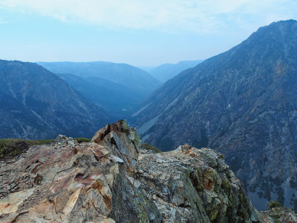
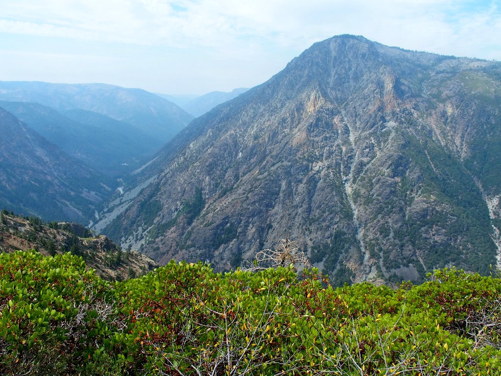
Looking southwest
Hello! What's that down below, in the bottom of Royal Gorge? I recognize it from research on the elusive North Fork of the American River.
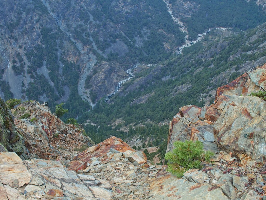
Wabena Falls are more than half a mile below
I can get a closer look, at 11× zoom:
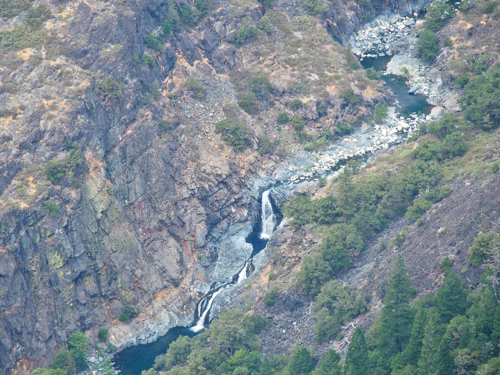
This is why I go hiking
I long had assumed that I never would see those falls. There was a trail down to them at one time, and the Forest Service even installed a bridge down there; but the route has been virtually unused for so long that much of it is overgrown to the point of being nearly impassable.
Starting back
On the way off the point I encounter some interesting rock formations:
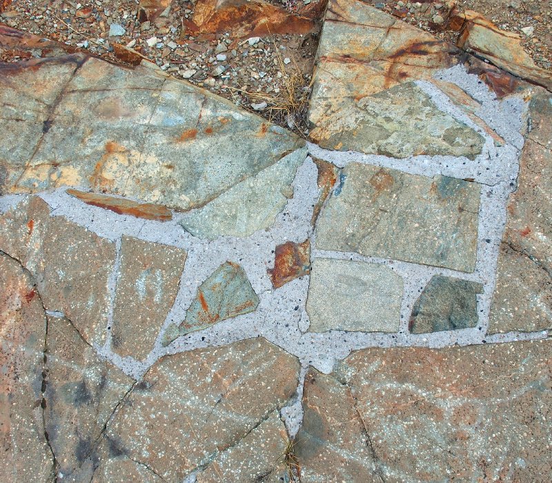
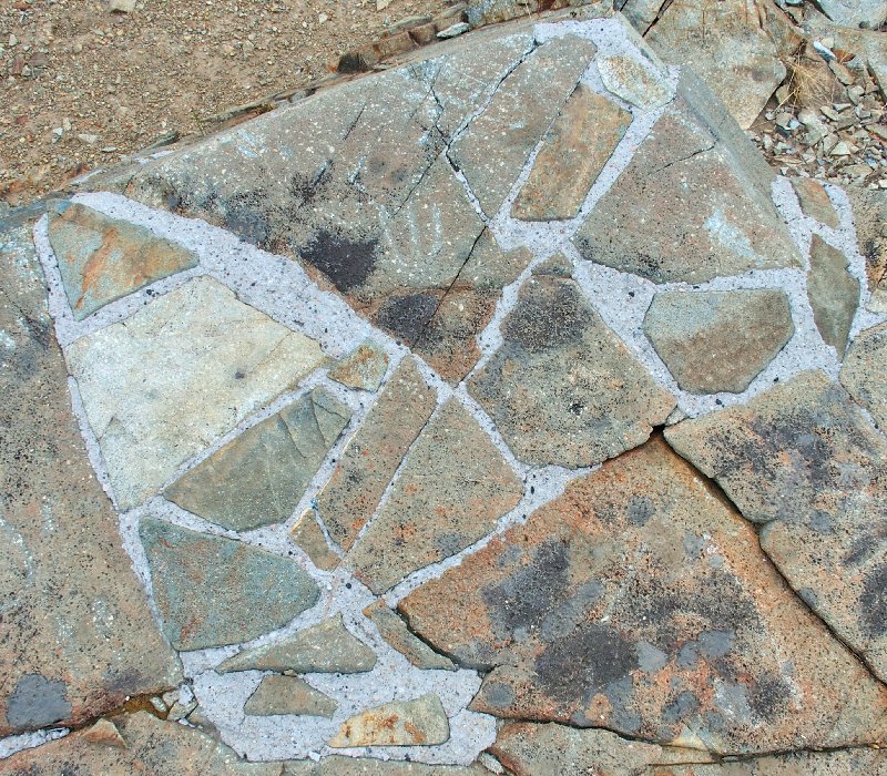
It almost looks as if a mason laid some bricks here
Wait! Before leaving I'll try one more shot, with my backup camera:
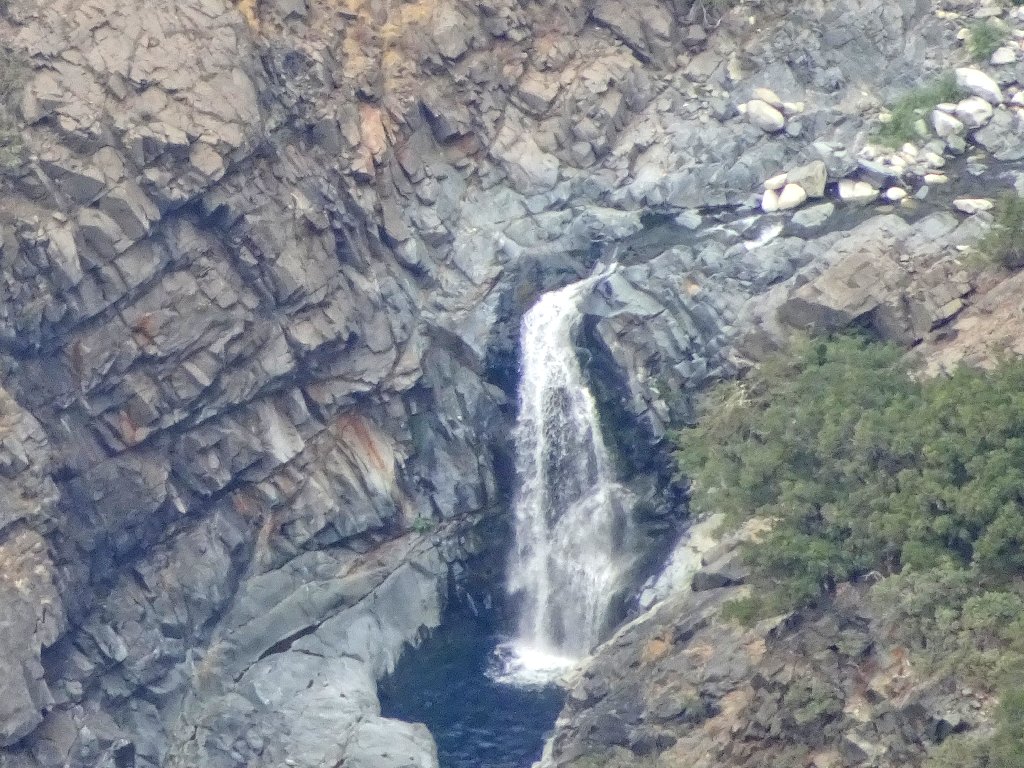
Wabena Falls at 30× zoom
Tinker Knob and Granite Chief in the distance
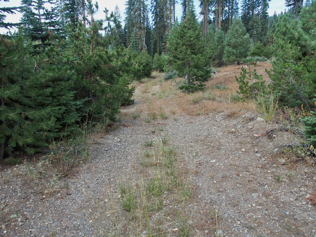
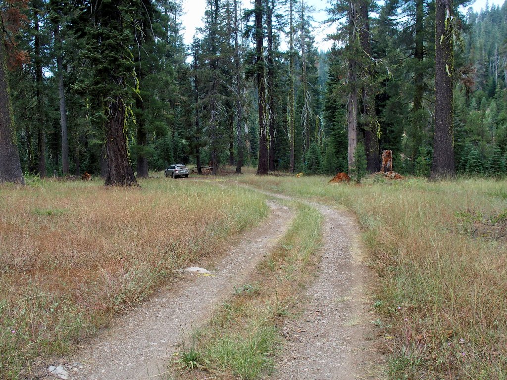
This time I'll stay on the road
Beautiful
Different
This route never does retrace any ground, which means that it's a different road than what I used earlier. It should do the job, however.
Yep. Back on the main road
Success!
§: Well, I didn't manage to spot any petroglyphs; but there was
an unexpected bonus in the view of Wabena Falls, which made the trek
worthwhile.
| Scenery |  |
| Difficulty |  |
| Solitude |  |
| Adventure |  |

IN CONCLUSION
This story isn't finished, though; for I must confess to an
oversight that still confounds me. It seems that I was so
busy looking at the seeming masonry handiwork that I failed
to notice what was all around it — petroglyphs!
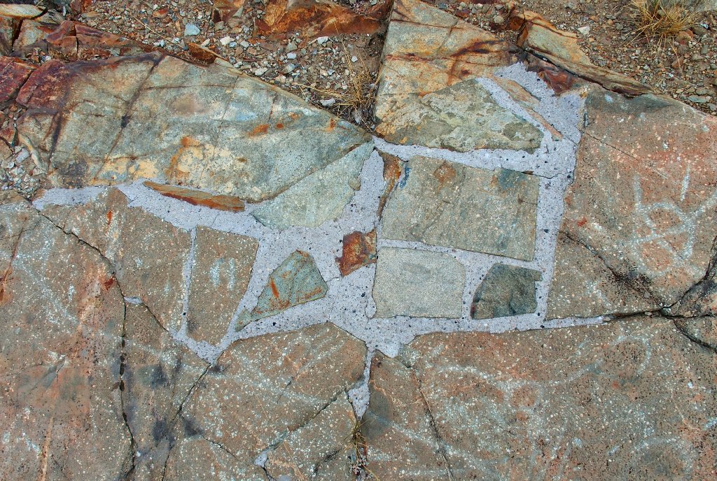
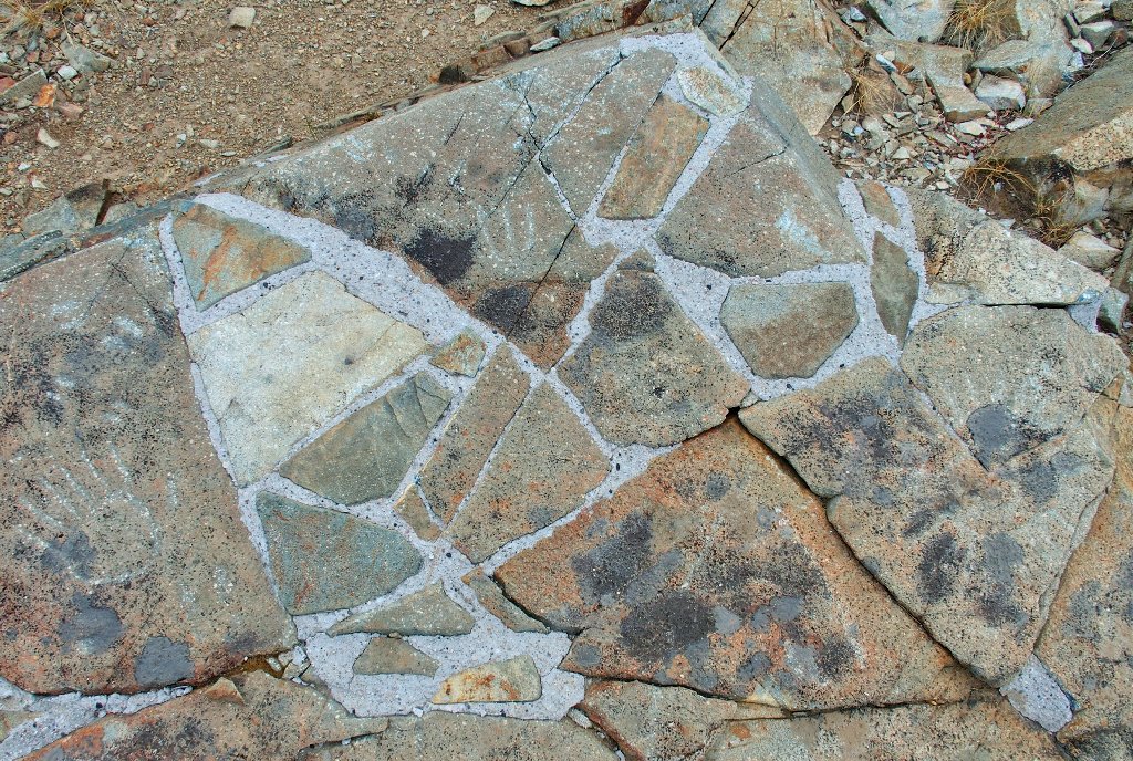
The images are faint, and the panel has been all but destroyed by attempts to 'repair' it
Somehow, I did not recognize the formations until I was able to view these photos on my computer. Perhaps it is time for that cataract surgery that I have been putting off.

UPDATE
In March of 2022, I was contacted by the president of Friends of Sierra Rock Art (FSRA) , who asked that I remove the trail map that is routinely featured in every hiking journal, citing the area's cultural significance and the reality of ever-increasing vandalism. This startled me, because drawing a little red line from a trailhead to a prominent lookout point had not been perceived as an item of concern.
In fact, it never would occur to me to provide much in the way of directions to any
vulnerable historical site — that is, unless the information already existed
on numerous internet sites, which it does. I'm the guy whose website avatar
is a scale-model representation of an actual petroglyph! Do you see
him at the top of this page?
In any case, I have done my part by removing the trail map from this page; and I have been assurred that other 'offending' sites are being contacted as well. Organizations such as the FSRA do have a tough job, and they are essential to the preservation of historical artifacts (even though most of the rock art will far outlast the human race regardless).
I take issue, however, with the notion of applying cement to the Wabena Panel. Artificiality and distortion do not beget conservation. That tactic is reminiscent of an incident over at Arches National Park in Utah in the 1950s, wherein the 'brains' of the outfit seriously considered encasing Delicate Arch in plastic so as to preserve it. Ugh!
I also maintain that the typical high-elevation hiker is not a vandal;
such problems arise elsewhere. I would like to think that no one choosing
to read my journals is prone to environmental destruction.
Finally, one undeniably good thing has come of all this. It is
proof-positive that someone actually is reading my stuff!
