
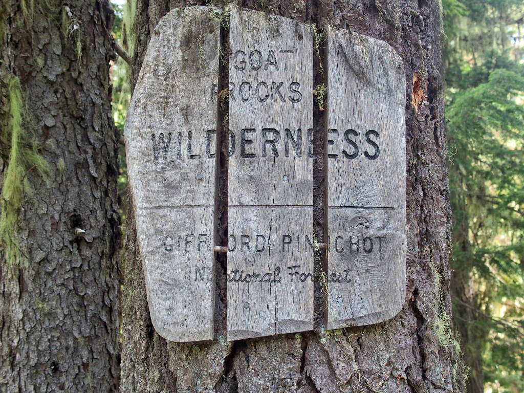
Goat Rocks Wilderness
|
Snowgrass Flats Goat Rocks Wilderness |
August 23, 2017
After an exploration of the Mount Rainier area yesterday just
north of here, this is the next stop on my eclipse-viewing
circuit. The trailhead is not far from my motel room in Packwood;
but access is very slow going on wash-boarded dirt roads.
The parking lot is full of vehicles, however; so this area must be quite
popular with backpackers.
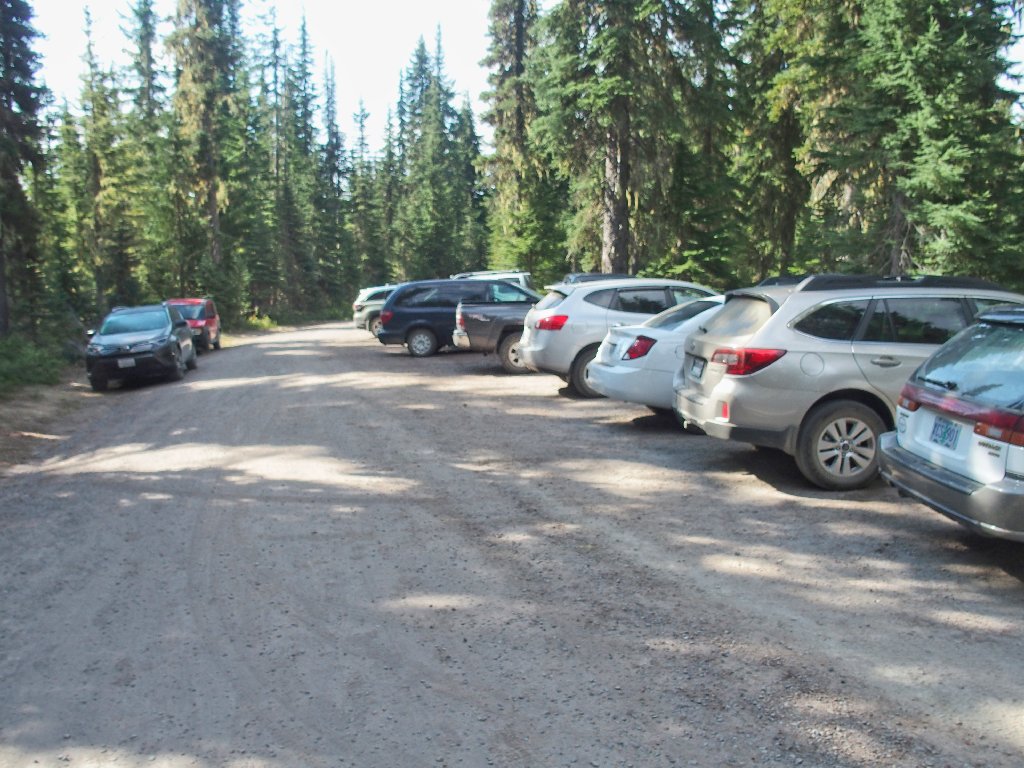
Most of these cars were here overnight
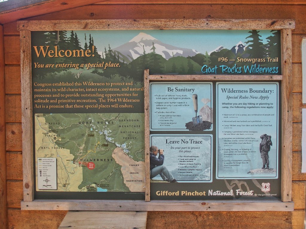
A permit supposedly is required here, but the document box is
empty — that is, except for this unlikely object:
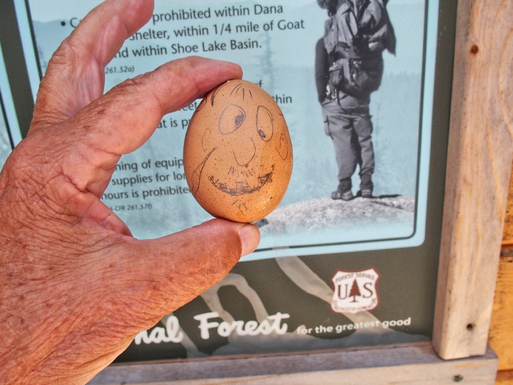
Humpty Dumpty's shell already is broken
The pieces just need to be pushed back together
Realizing that I have forgotten my hat, I return to the car to retrieve it.
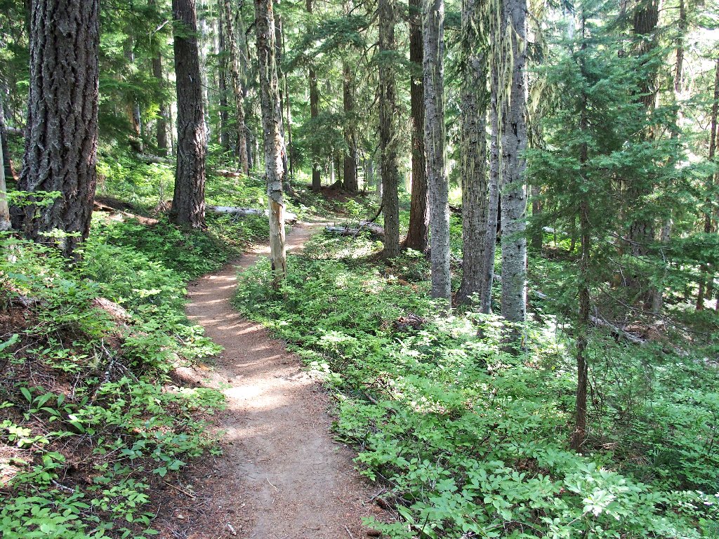
Pleasant going
Almost immediately I overtake a couple with two little boys in tow. I like seeing that.
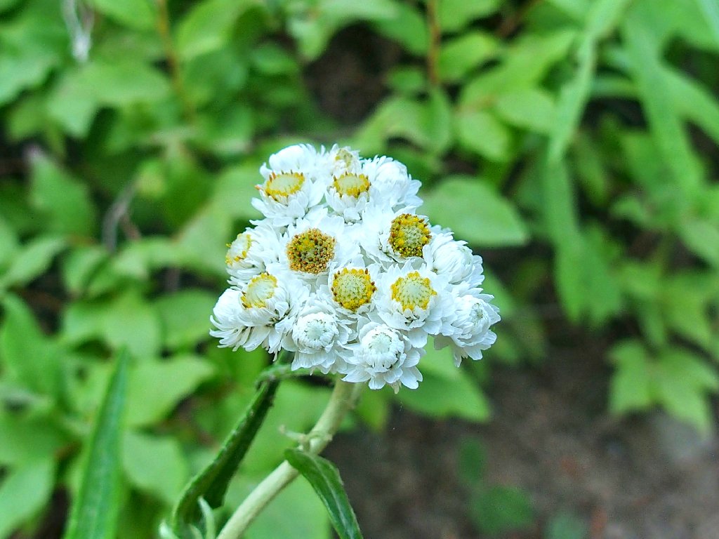
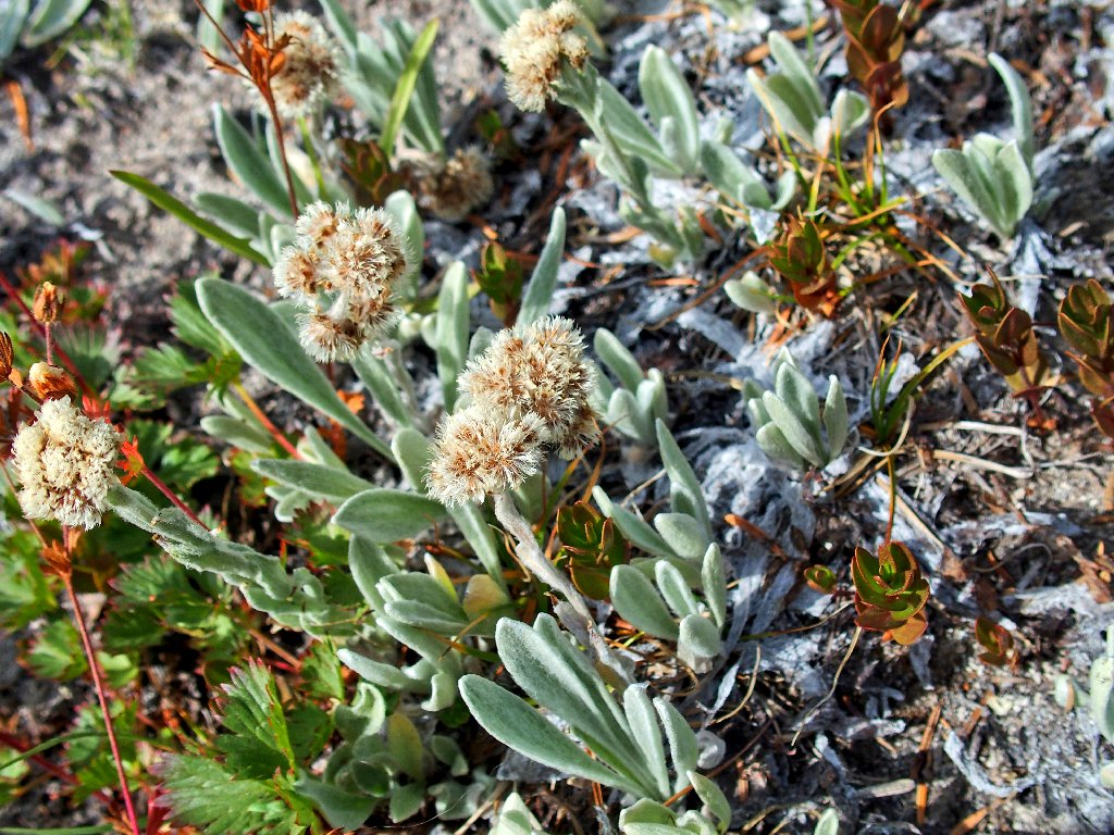
Pearly Everlasting
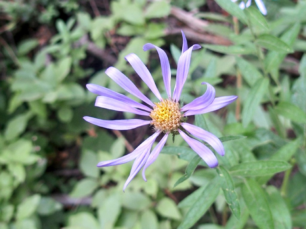
Cascade Aster
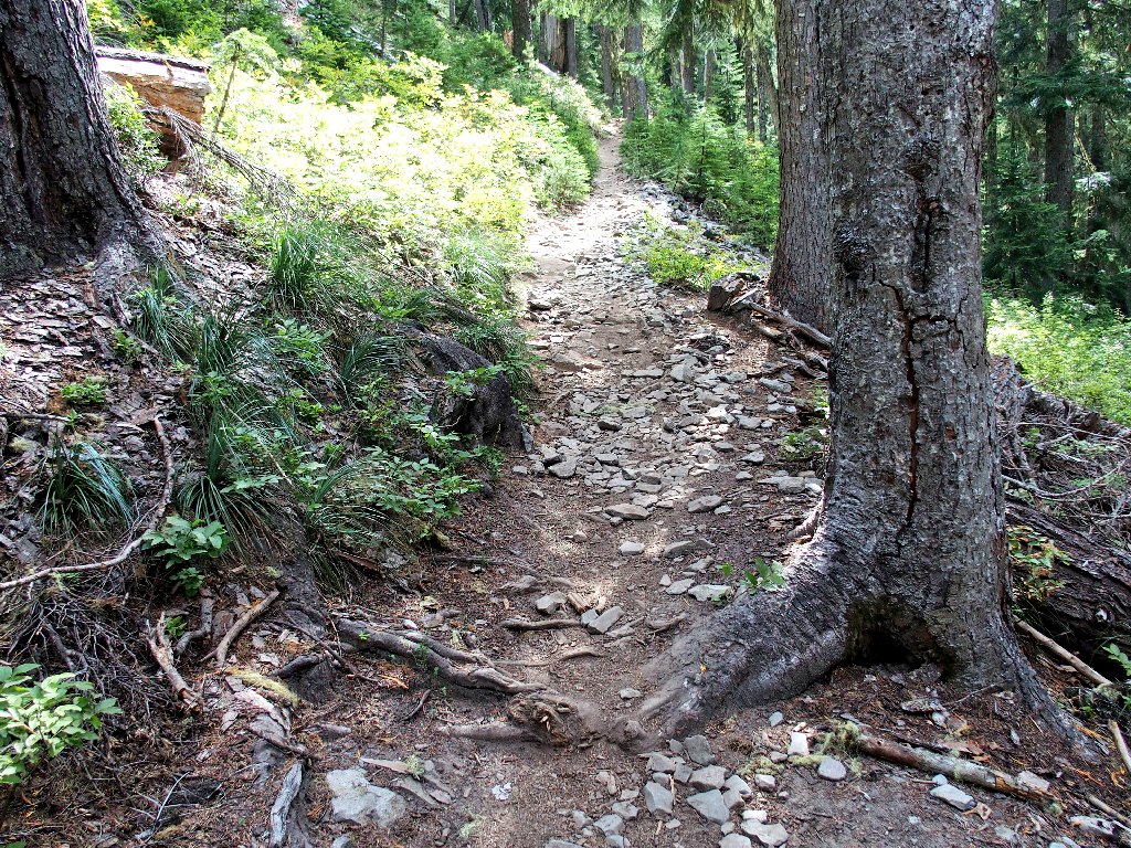
Well, this forest is nice and green; but that's all
there has been to see thus far — deep forest.
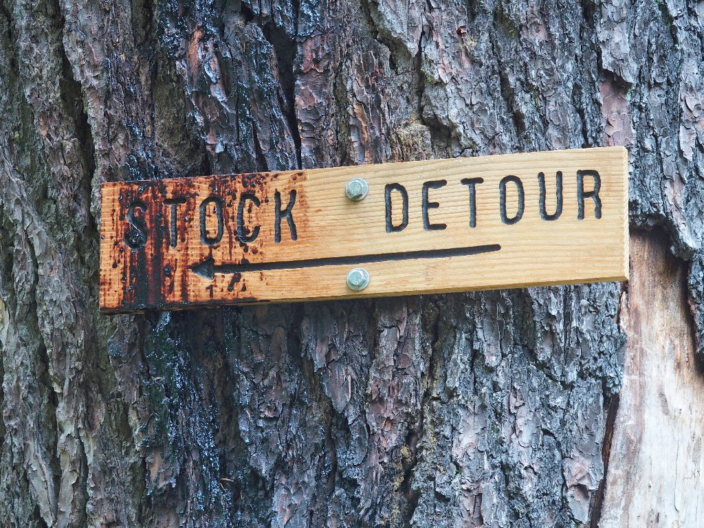
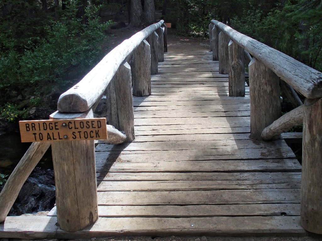
Keeping maintenance costs down, I guess
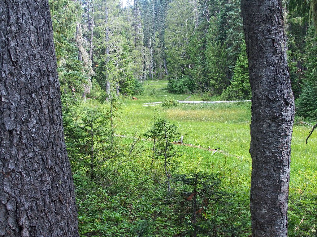
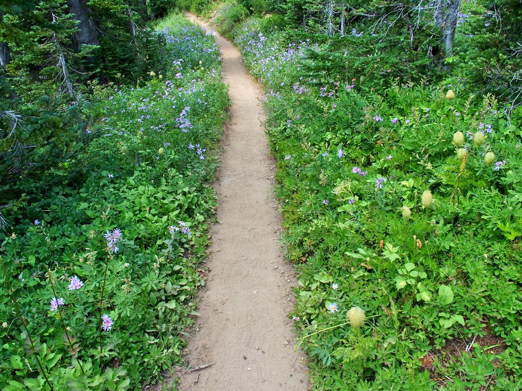
Circling around the water-laden meadow
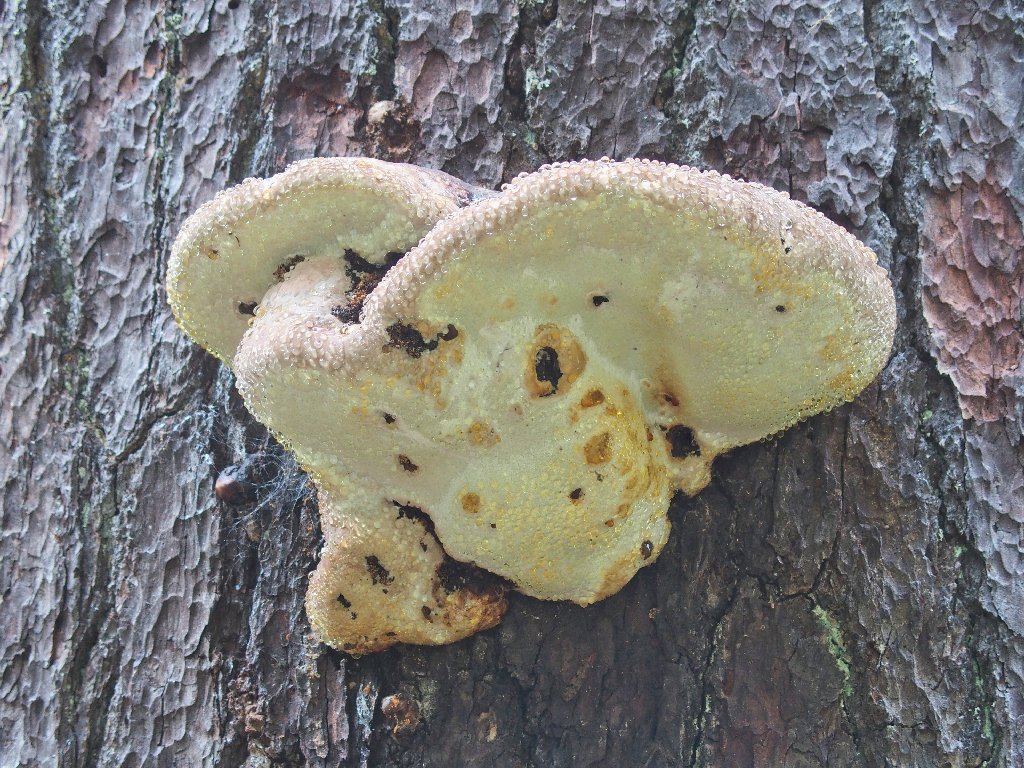
One common name is 'Crust Polyphore'
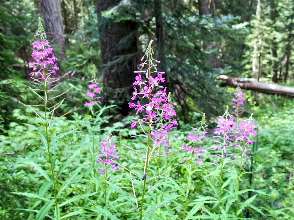
Fireweed
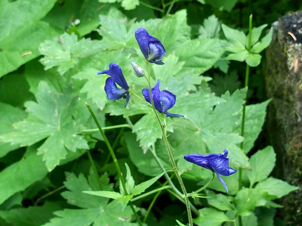
Monkshood
The trail is mellow and easy on the feet; it also has run virtually sideways for well over two miles. Finally, after crossing Goat Creek, the route becomes more interesting.
This steeper grade is uncharacteristically welcome at the moment
I overtake three women backpackers, whom I have heard chatting for some minutes now. When one of them suggests that my shirt labeled "Glacier Park" could be misplaced, I point out that is no "wrong park" and that the mountain goat picture seems appropriate here.
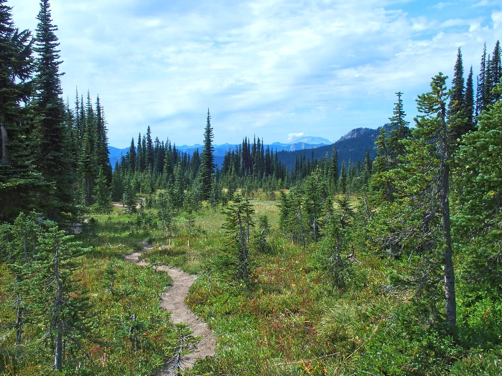
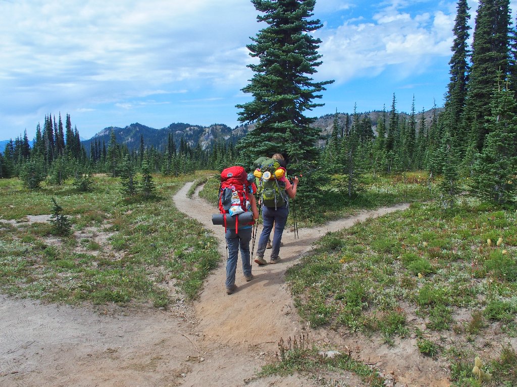
A lollipop loop is available
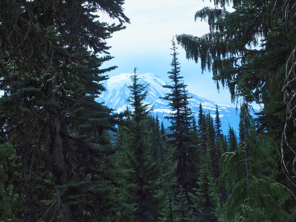
More than four miles into the trek, there finally is a view of something besides trees.
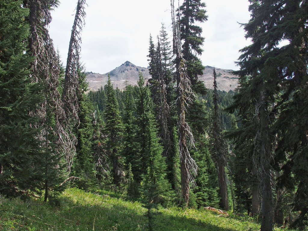
The heart of the wilderness is up there
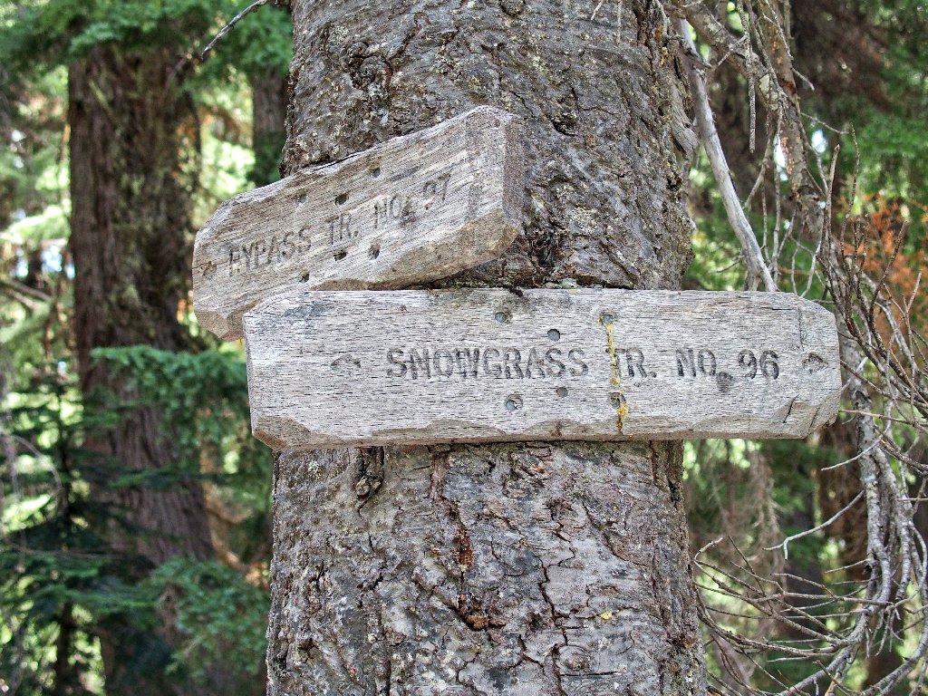
Presently I reach what I presume is Snowgrass Flats. Even though there are but two signposts, there are trails all over the place.
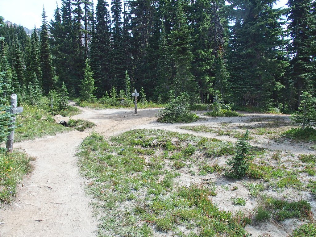
This 7-way junction is easily a record in my experience
Up and to the right I hear running water, so I venture up to what turns out to be a tiny but noisy little brook. I have found the garden spot.
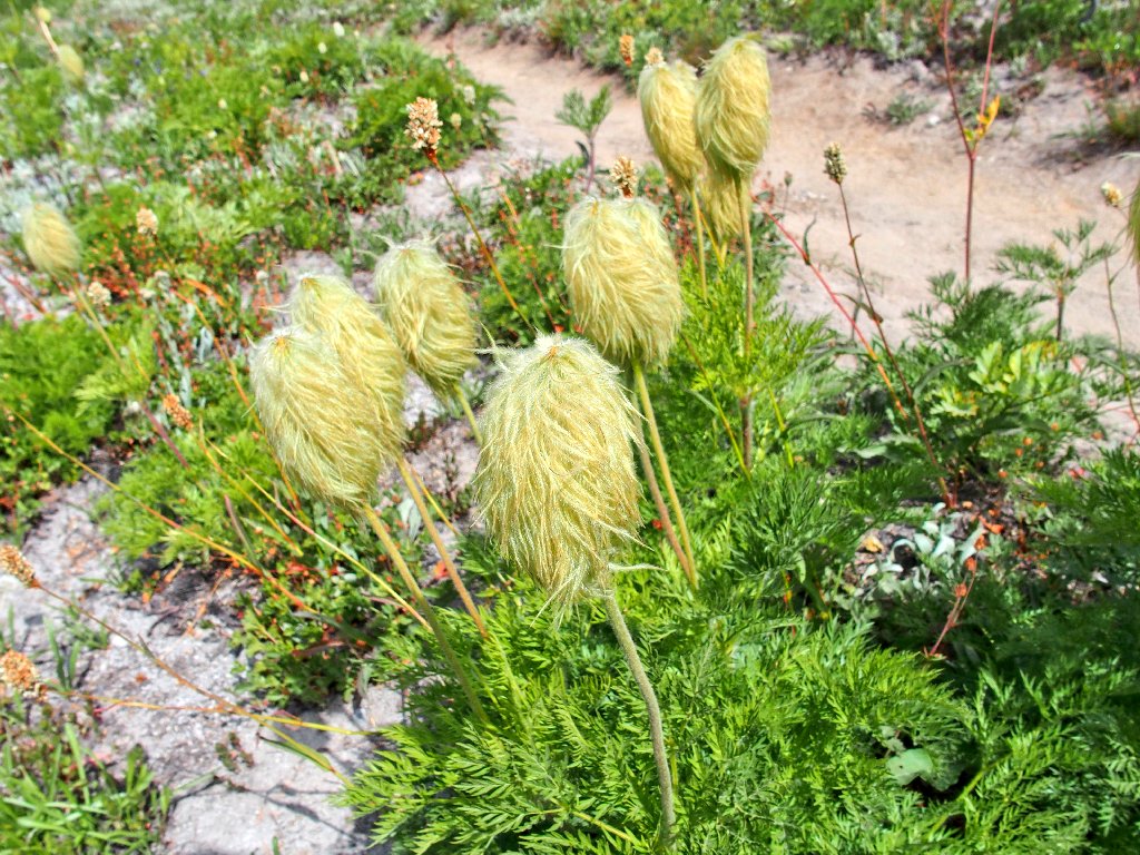
Mountain Pasqueflower
Alpine Bistort
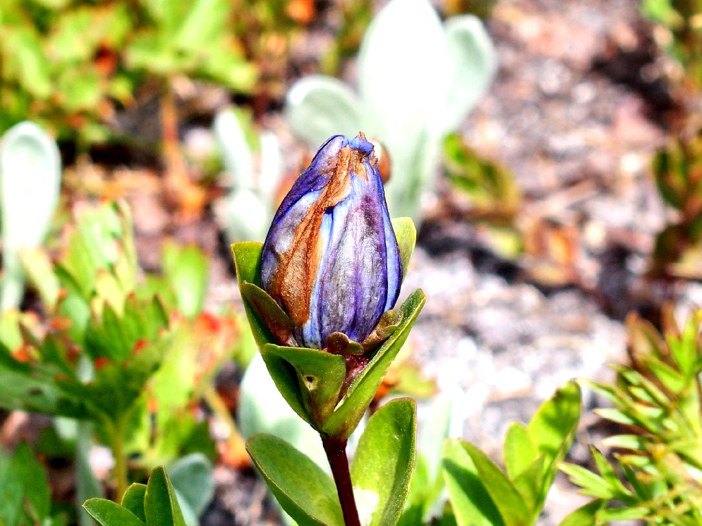
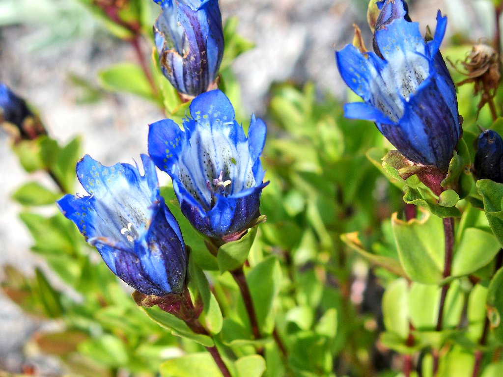
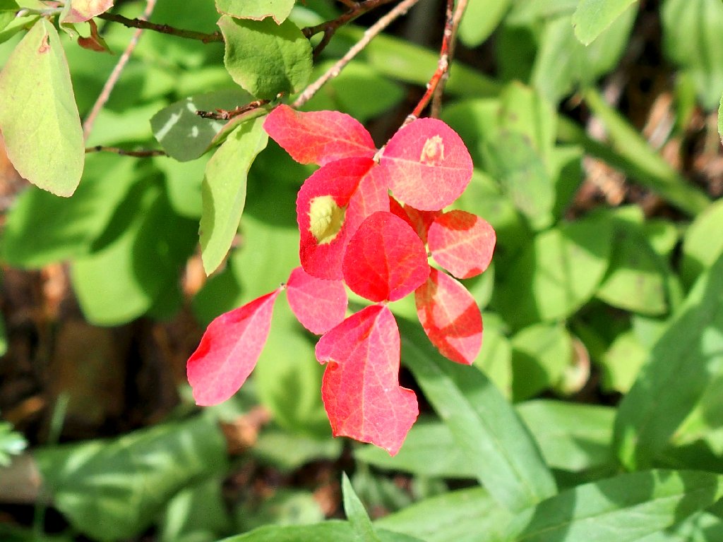
Bog Gentian — before and after
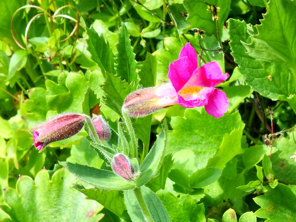
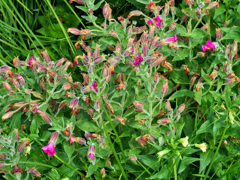
Purple Monkeyflower
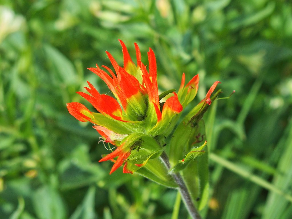
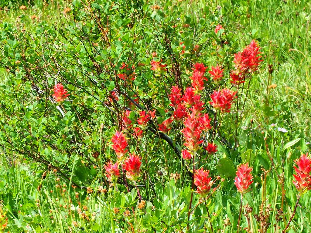
Wavyleaf Paintbrush
With no particular plan in mind, I continue up the
Snowgrass Trail #96 for perhaps a quarter-mile
before deciding to stop. The Pacific Crest Trail is
not far away, but that's not why I came here. When I
finally turn around, I am treated to my best view of the day.
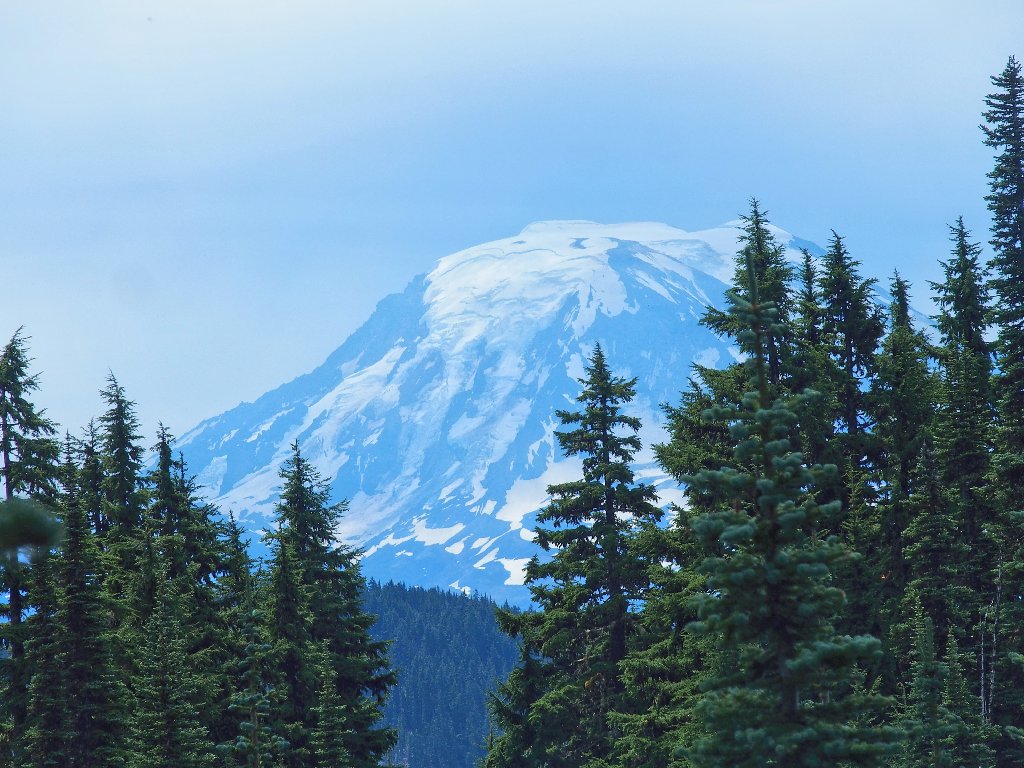
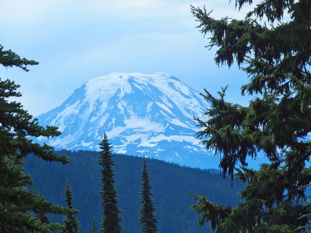
Is that Mount St. Helens over there?
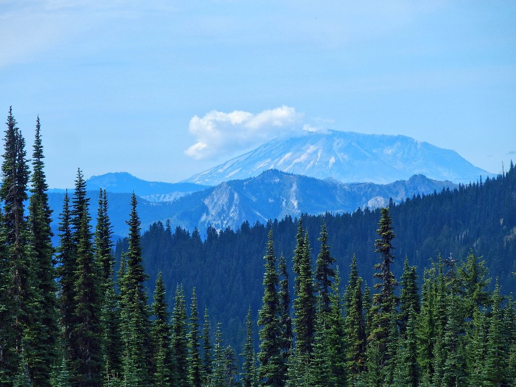
Yes, it is
Actually, these are my first-ever digital photographs of the famous volcano.
Starting back
Around the next corner is a view of Washington's
second-highest peak.
Mount Adams, 12280'
These are my first digital shots of this one as well
Back at the big junction, the three women are just now arriving. The apparent group leader says something about finding a camping spot, while one of the others is concerned only about proximity to water.
Happy camping!
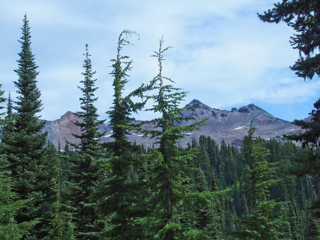
Old Snowy Mountain on the left, Ives Peak in the middle
Thinleaf Huckleberry
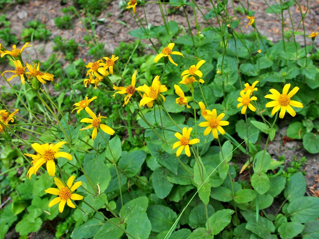
Broadleaf Arnica
Starting back down, I encounter another view that went unnoticed on the way up.
Mount Adams is twenty miles distant
A backpacking couple approaches. The man asks how I like the hike. I respond, "It's fine, if you like looking at trees". He replies, "Hopefully, we'll get above them".
And that sums up the most basic difference between so many hikes in the northlands and those closer to home. Up here one might have to slog quite a ways in order to get to the "good stuff," while walks in the Sierra tend to feature more immediate gratification. I love trees, mind you; but vistas are important.

Getting through the semi-rough section
Unexpectedly, I run into the family with the two little boys; but inexplicably dad no longer is with them. I mention to mom about "getting them started early", and she hopes that she hasn't "wielded the whip" too much.
In any case, those folks have progressed a mighty short
distance after all this time; I actually have walked twice as
far as they. They will be hard-pressed to reach
the flats today, and there isn't much in way of campsites in
between.
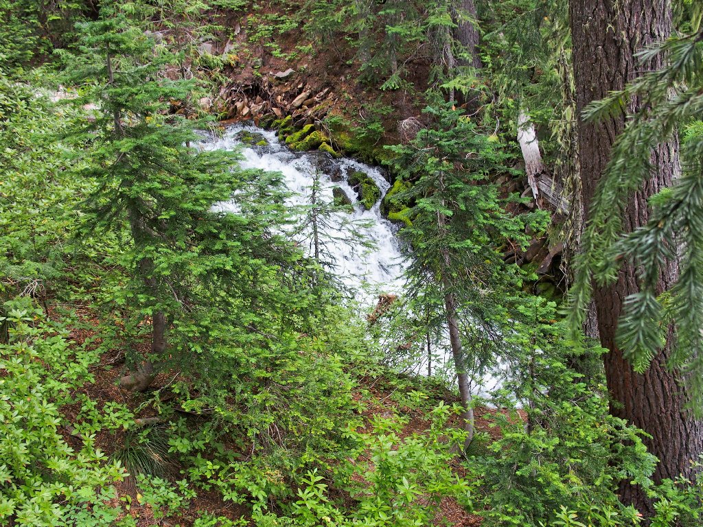
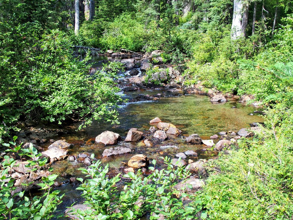
Hearing and seeing the creek breaks up the tedium
Back at the nice bridge, I break out my Walkman; but it doesn't work. It seems that I left it on last time and the battery has run down. Stupid. Now there is nothing for it but to put away the remaining miles as quickly as possible.

A nice message back at the parking lot
§: Well, apparently I didn't research this walk
adequately, either. I guess that selecting the most
popular trailhead in a wilderness area isn't always the
best choice for a day-hike. I don't need to
drive a thousand miles just to walk in a dark forest.
The garden was pretty nice, though; and it saved this hike
from a sub-par rating.
| Scenery |  |
| Difficulty |  |
| Personality |  |
| Solitude | |

Afterwards, my plan to continue directly south to Hood River on the
Columbia was thwarted by fire-closed roads, causing me a good two hours' worth
of backtracking including all of those damnable washboards. That detour
did have a serendipitous effect, however; for it led me to a nice diversion.
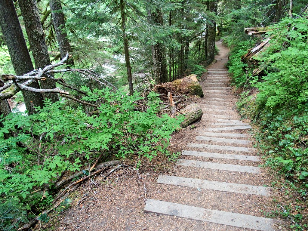
A roadside stairway leads down to a creek
Half a dozen people are cavorting about in the water down here, so I must await an opportunity for an uncluttered shot.
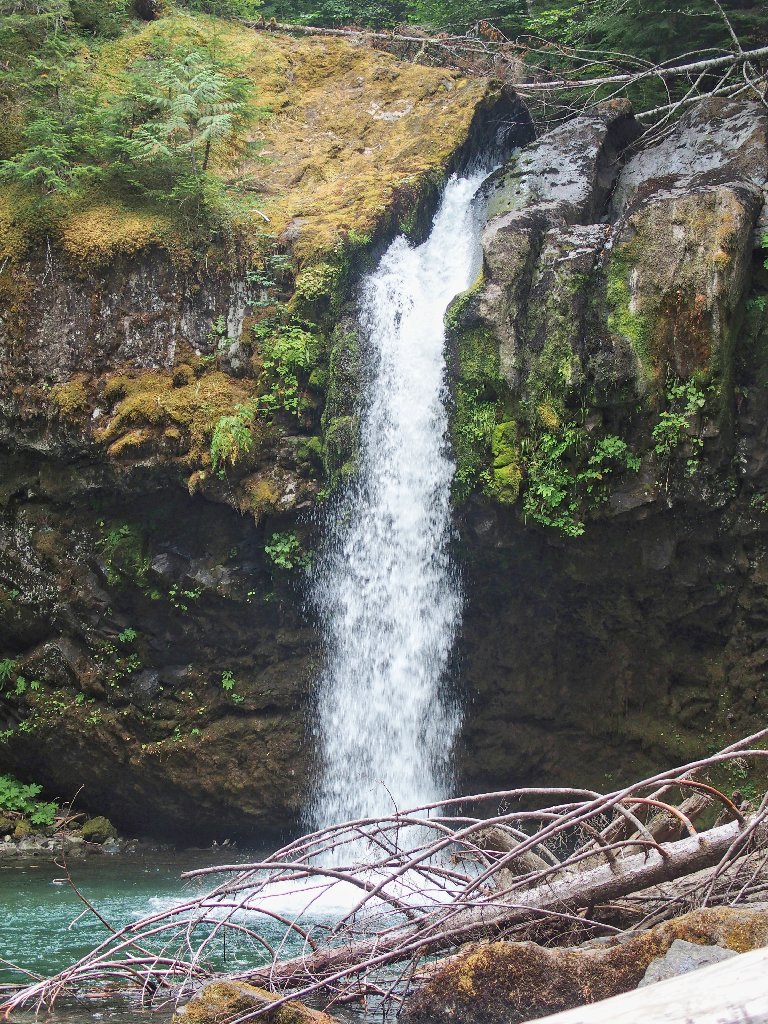
Iron Creek Falls, 38'
Rounding out the excitement is this final view of the recently active volcano:
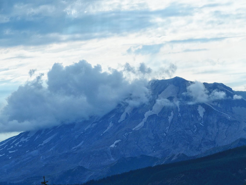
The less-viewed eastern face of Mount St. Helens
