
Mount Rainier National Park
|
Burroughs Mountain Mount Rainier National Park |
August 22, 2017
Having driven way up north in order to view yesterday's
total solar eclipse, I must take in a few hikes on my way
home to justify the trip. From my lodging in Yakima,
the shortest route is currently closed due to forest-fire
issues; so I must go the long way.
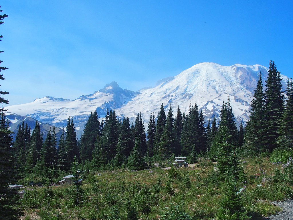
It is not until I am well with the park that I get a first
view of the principal attraction, which happens to be the
fourth-highest peak in the lower 49 states:
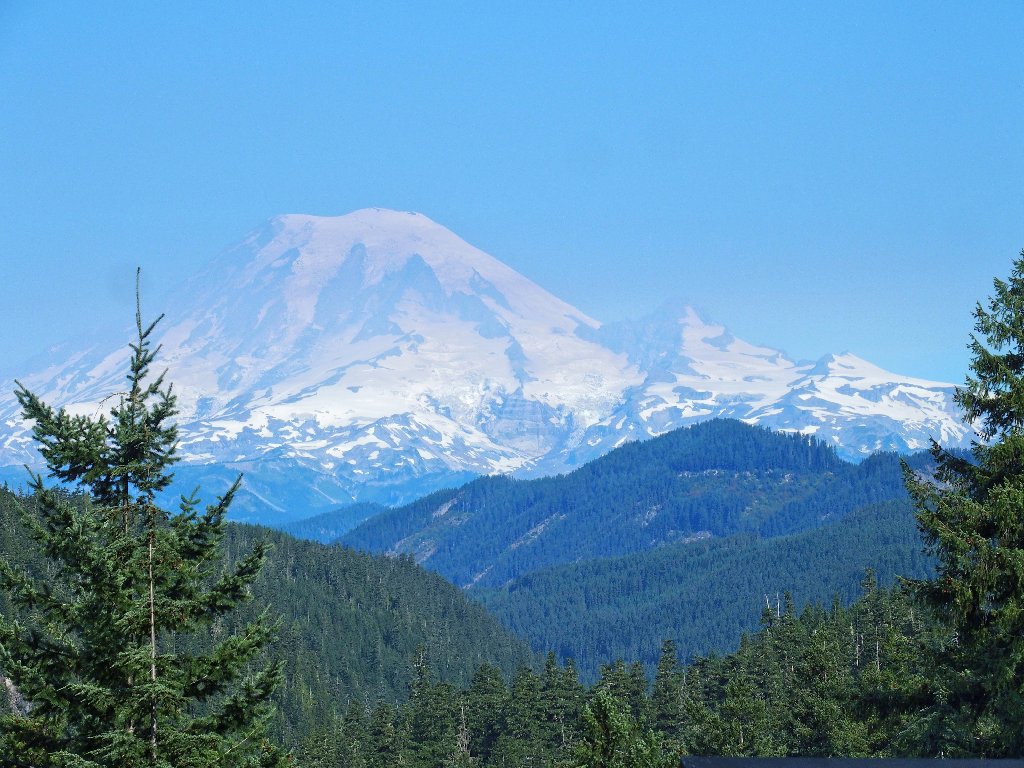
Mount Rainier, 14411'
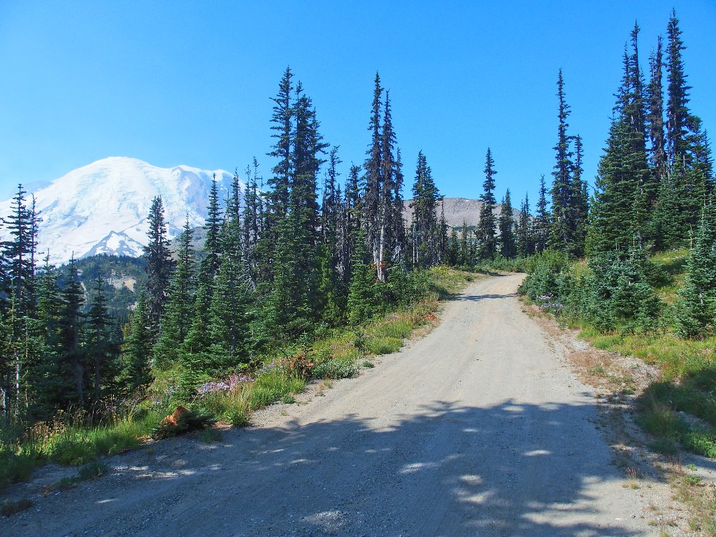
Continuing up to the northeast corner of the park, my
plan is to get as close to the mountain as is possible on
a day-hike. My drive terminates with a long,
winding road up to a special plateau:
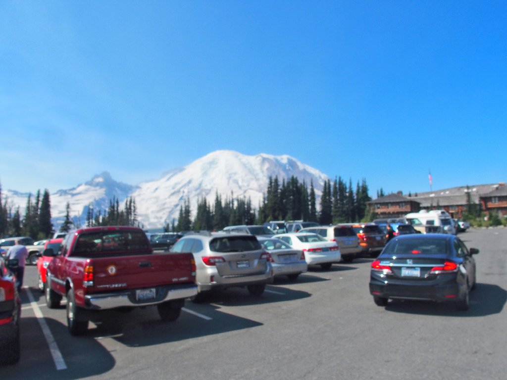
The parking lot at Sunrise
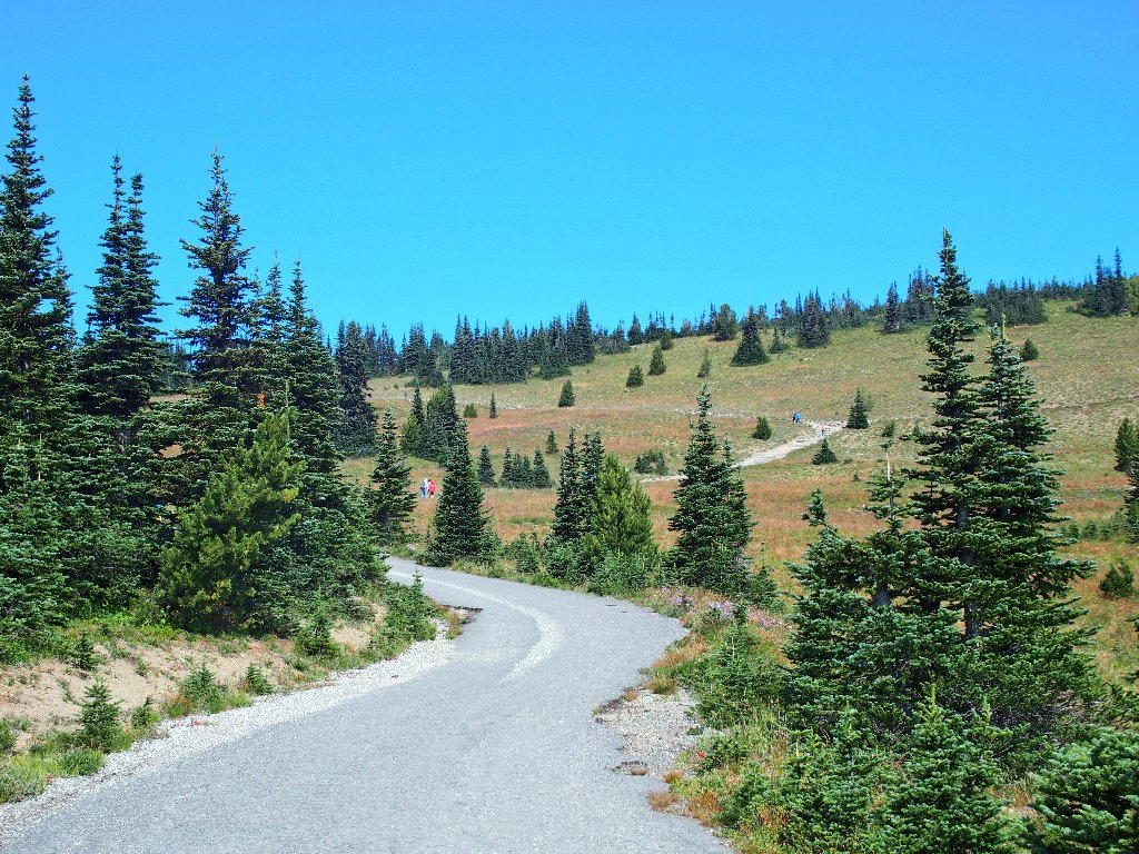
The trail begins as a paved road
Right away, a trail splits from the roadway. All the arrows on the signpost point to the right, but I head to the left because I know that some sort of loop route is available. For some reason, I would like to save the Sourdough Ridge Trail segment for last.
All the trails are marked
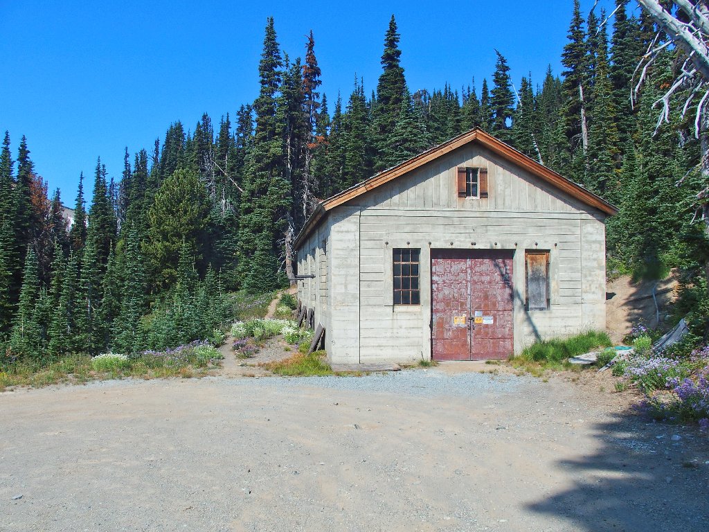
Immediately I pass by a big picnic area, which doubtless is popular in the springtime.
It's too hot for a picnic today
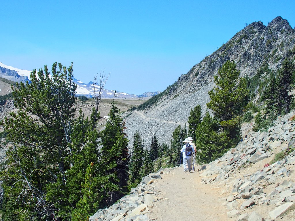
The road ends, but a trail continues
The fact that signed directions are lacking here is a big clue, yet I continue undaunted.
I'm heading in the right direction
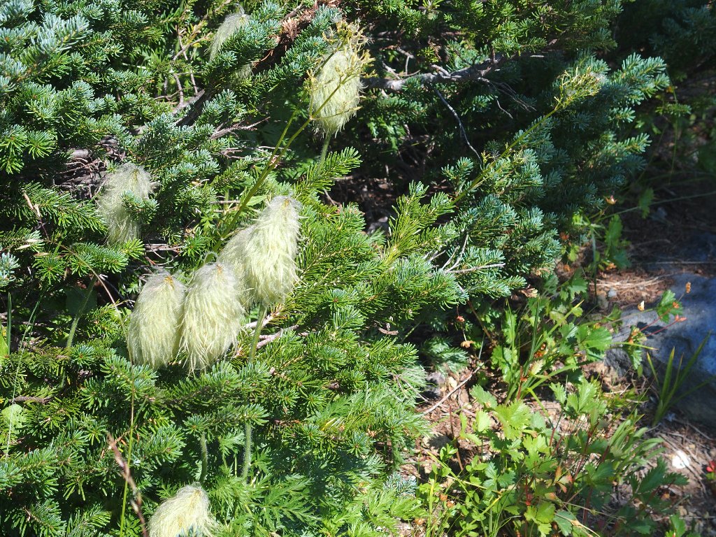
Mountain Pasqueflower
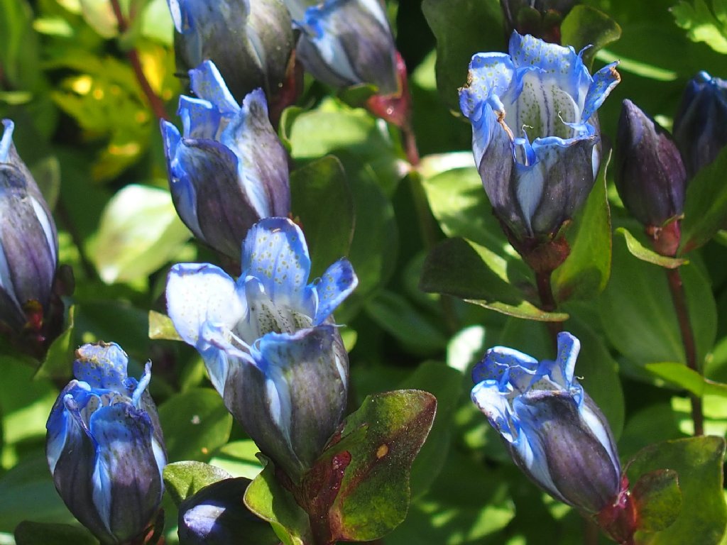
Bog Gentian
Suddenly the little trail reverses direction and leads downhill and back toward the visitor center, which is not right. Had I studied that nice map more carefully, perhaps I would not be discombobulated now. Stupid. Being unsure as to what went wrong, I know that I can recover simply by climbing this hillside up to the main trail. In fact, I can see hikers above me; so upward I go.
This climb is steeper than it looks
Well, the friendly-looking grassy slope turns out to
be a 100% gradient; and the fact that I wore my bunny
boots and didn't bother with a walking stick isn't helping.
That probably is the route I should be on, way over there
After many rest stop, I make it up what turns out to be a
hand-over-hand scramble of more than 400 feet.
I'm not particularly tired, though — just a bit disgusted.
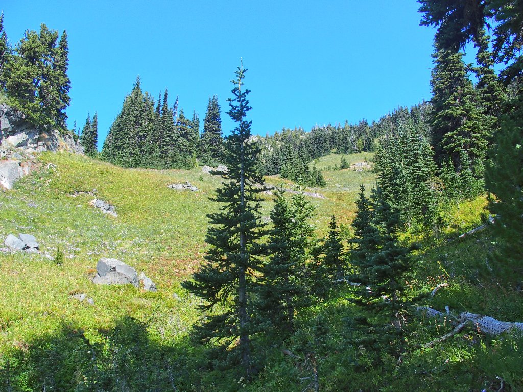
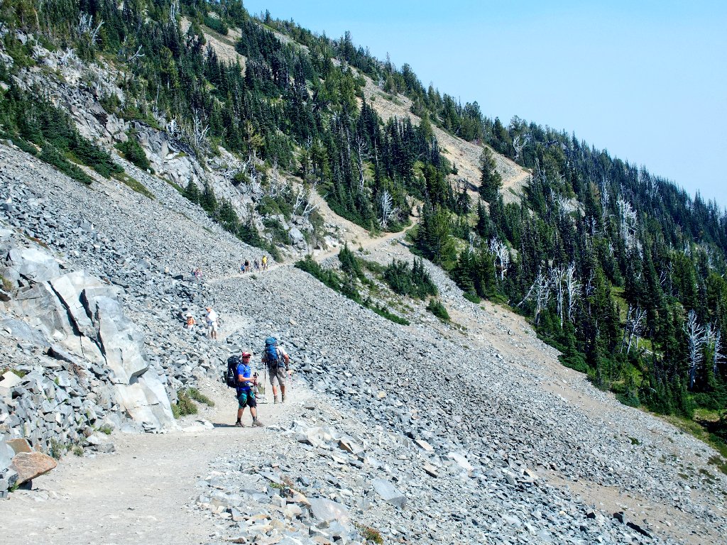
Back on a trail again
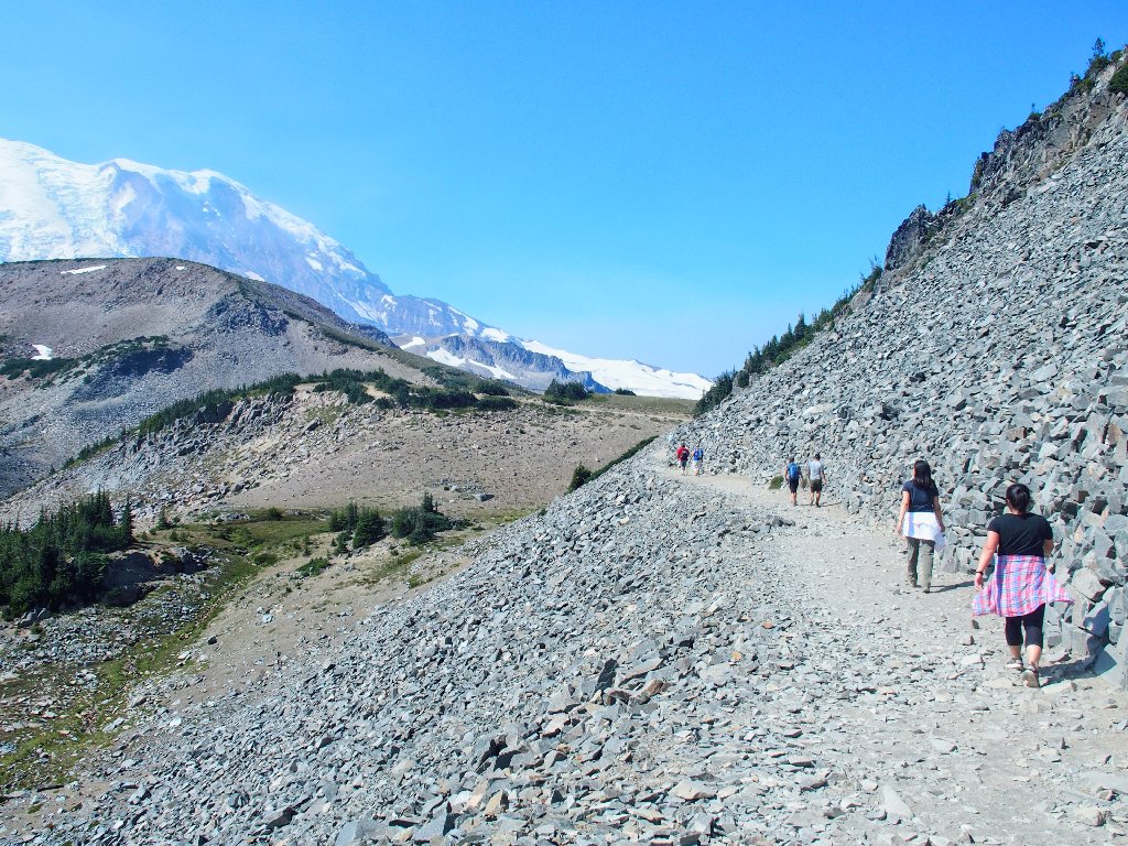
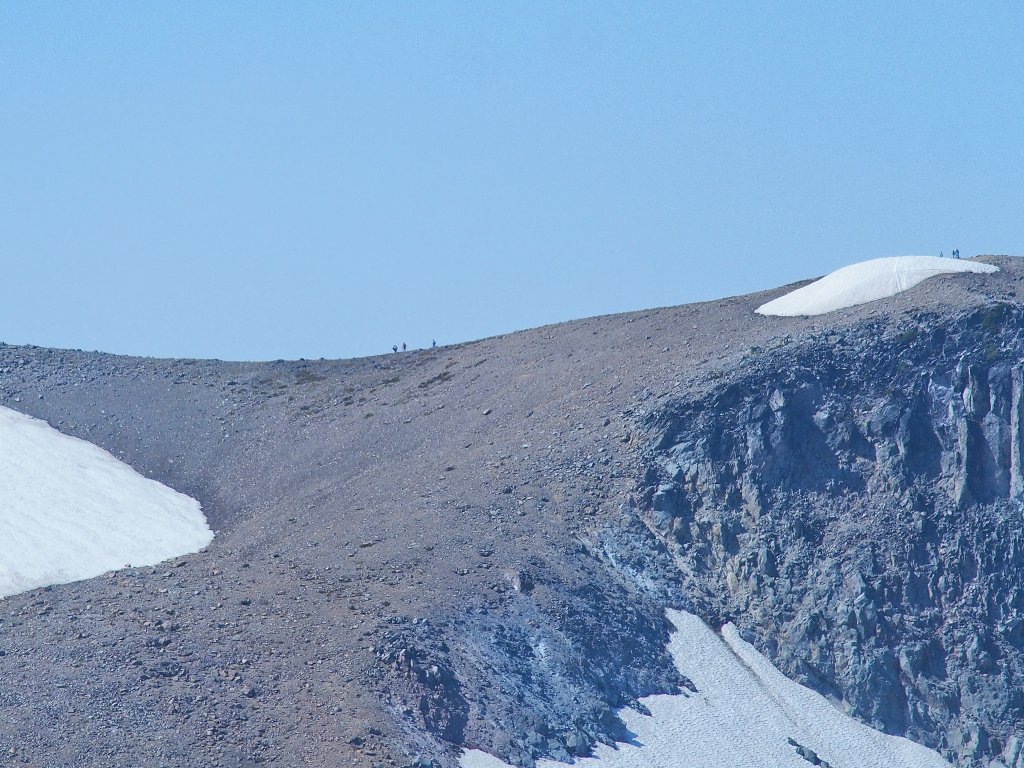
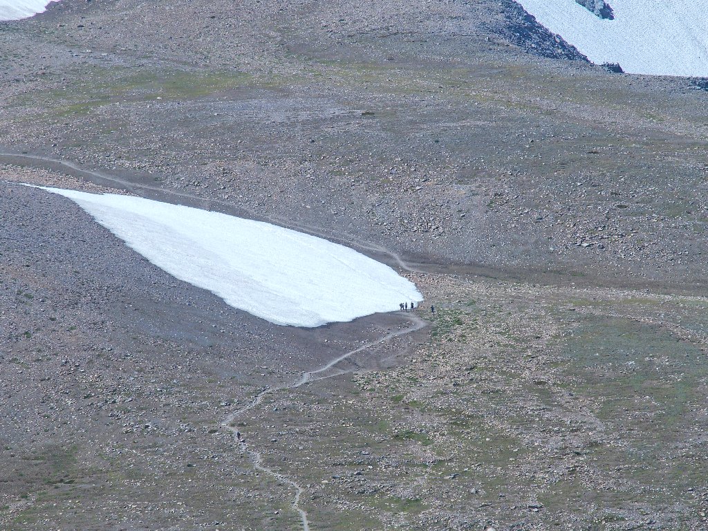
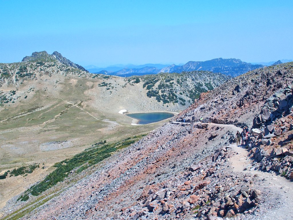
A lengthy slog across a talus field ends on a plateau where there are numerous trail options. Much of the area is fenced off in an attempt to give the grassy areas a chance to recover from excessive use.
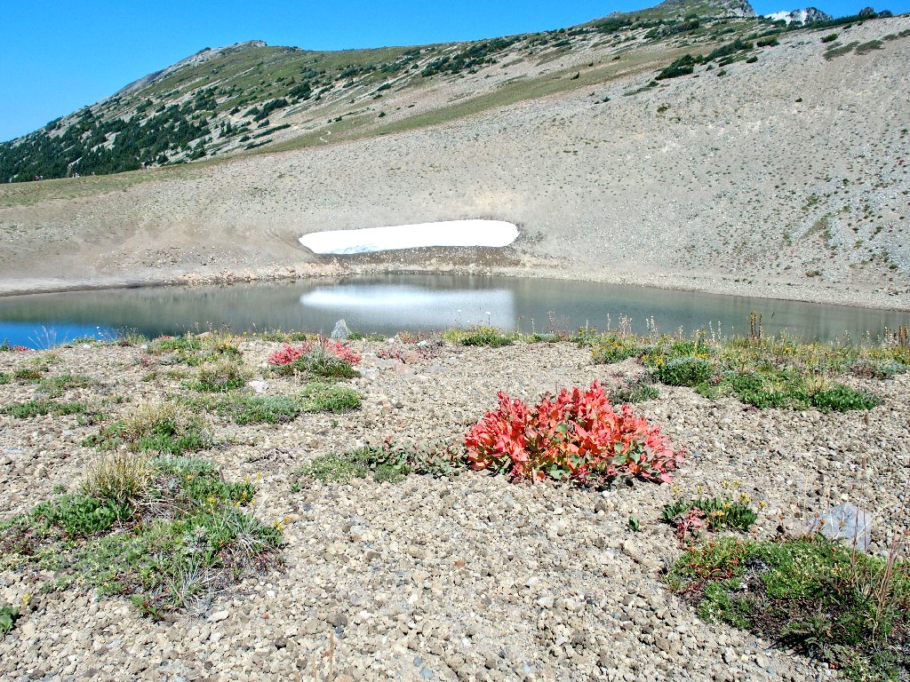
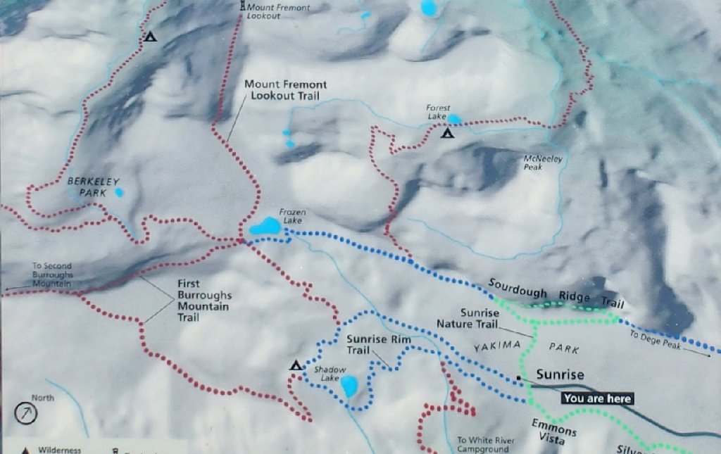
Frozen Lake
My trail traverses that slope over there
Here it is
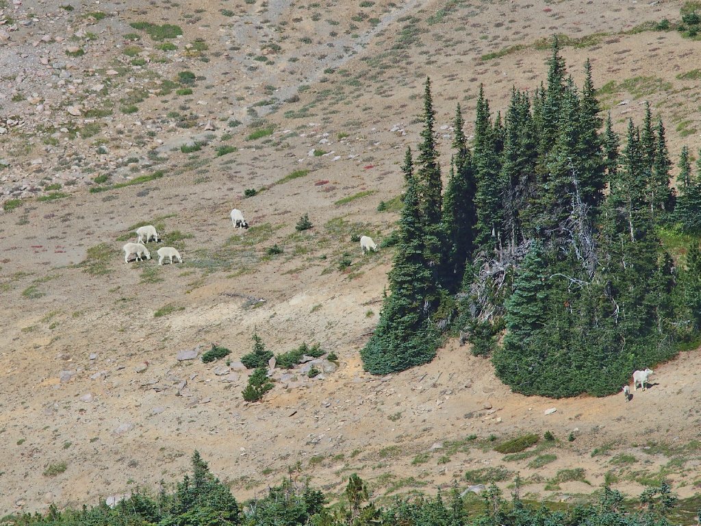
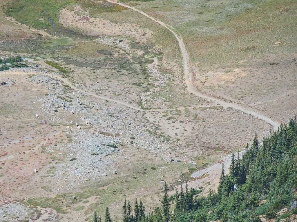
A couple dozen mountain goats are foraging below, in Berkeley Park
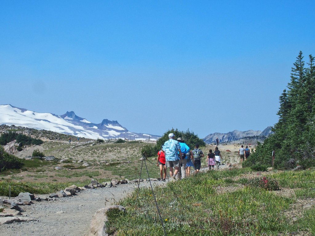
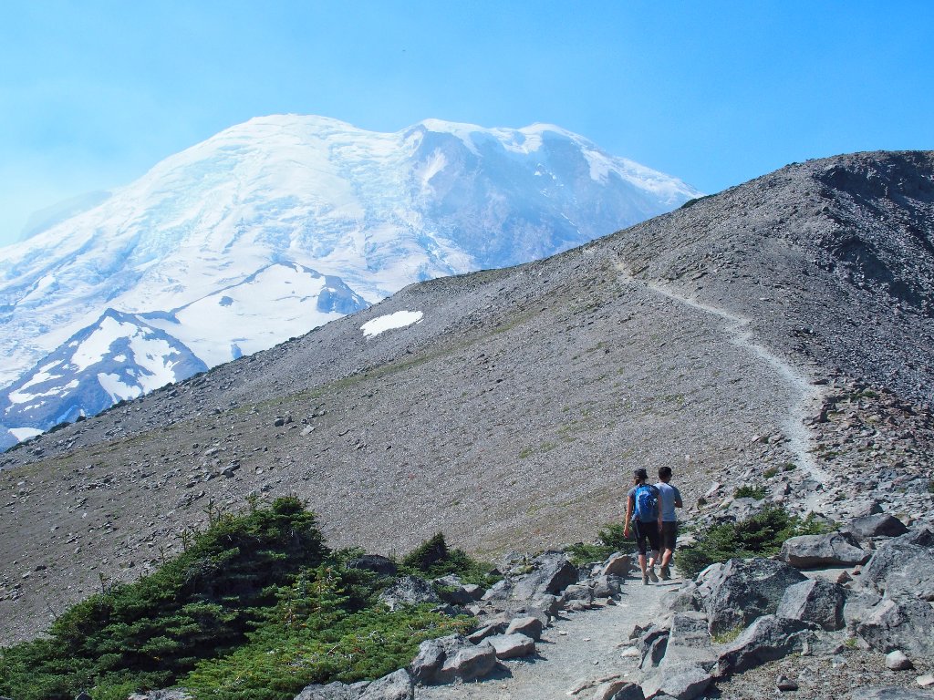
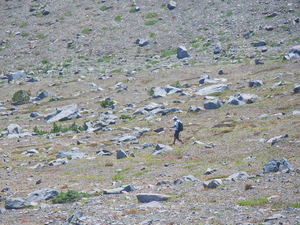
Progress is slow, but sure
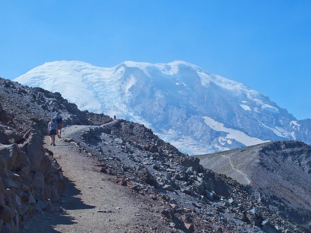
After my second 450-foot climb in an hour's time, I can relax a bit.
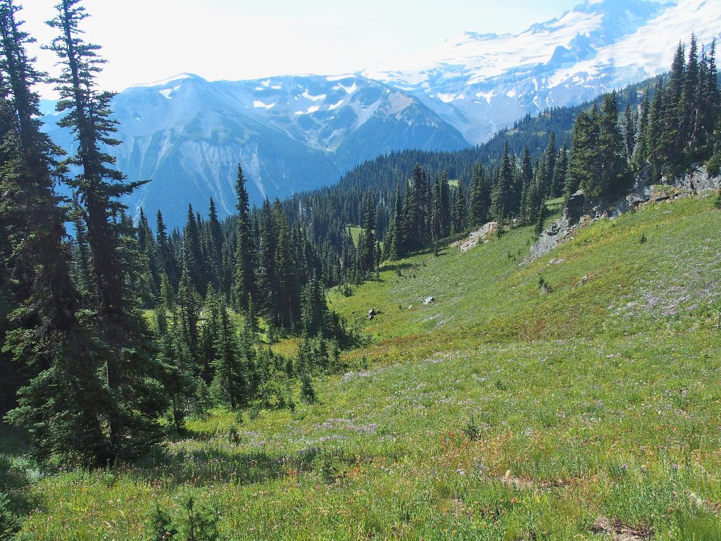
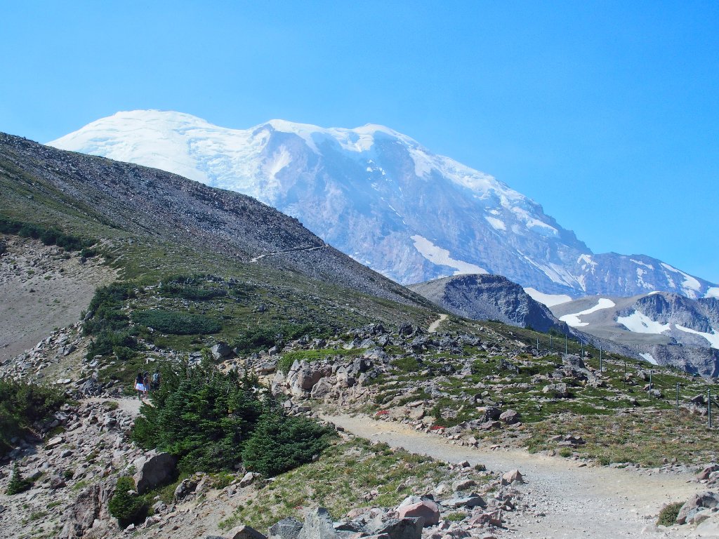
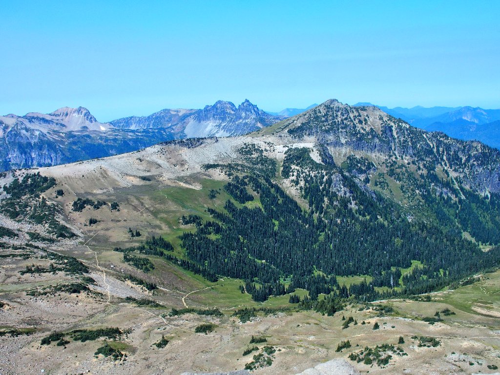
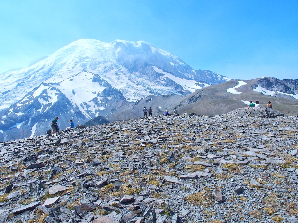
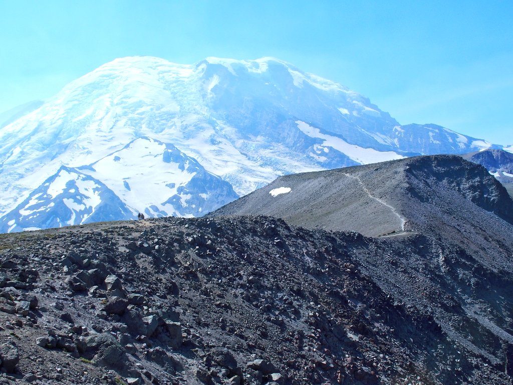
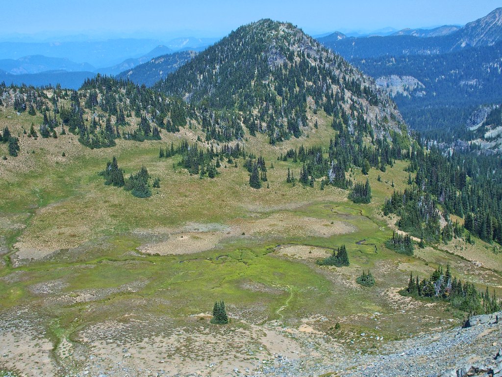
First view from the ridge top

The big picture
Wow! It is spectacular up here, with interesting stuff to see in every direction.
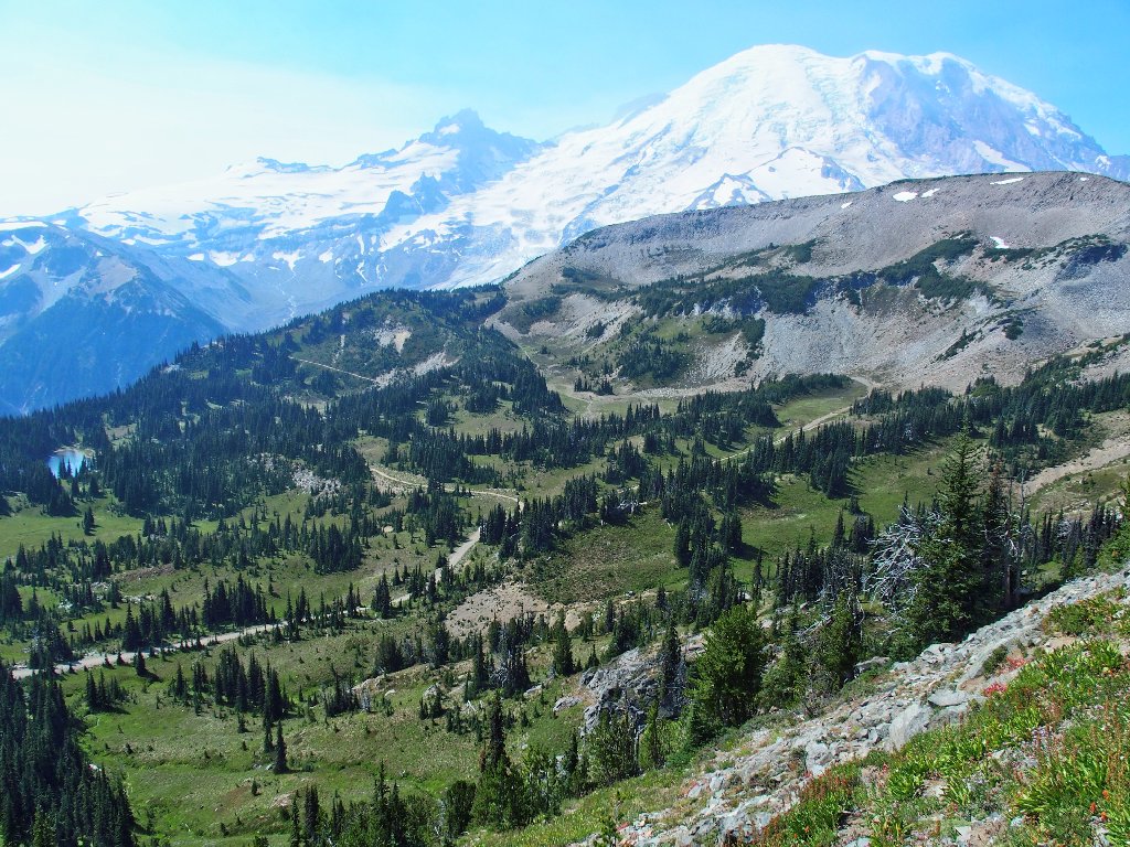
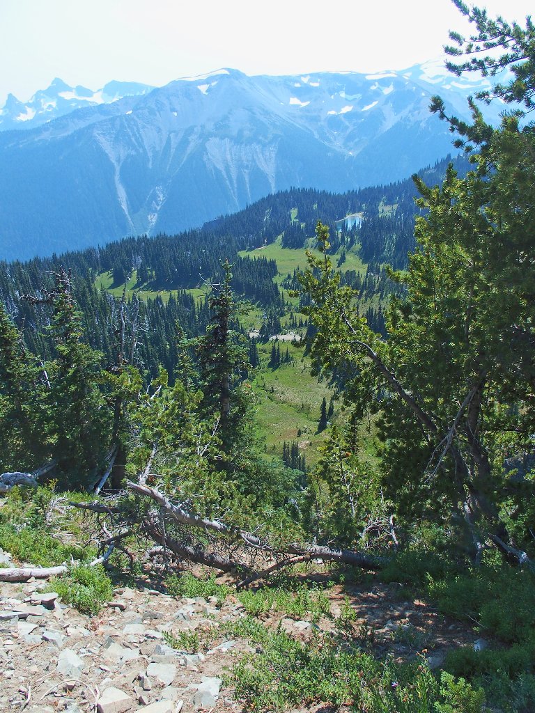
View to the west
Overlooking Berkeley Park
Mount Fremont Lookout on the far left
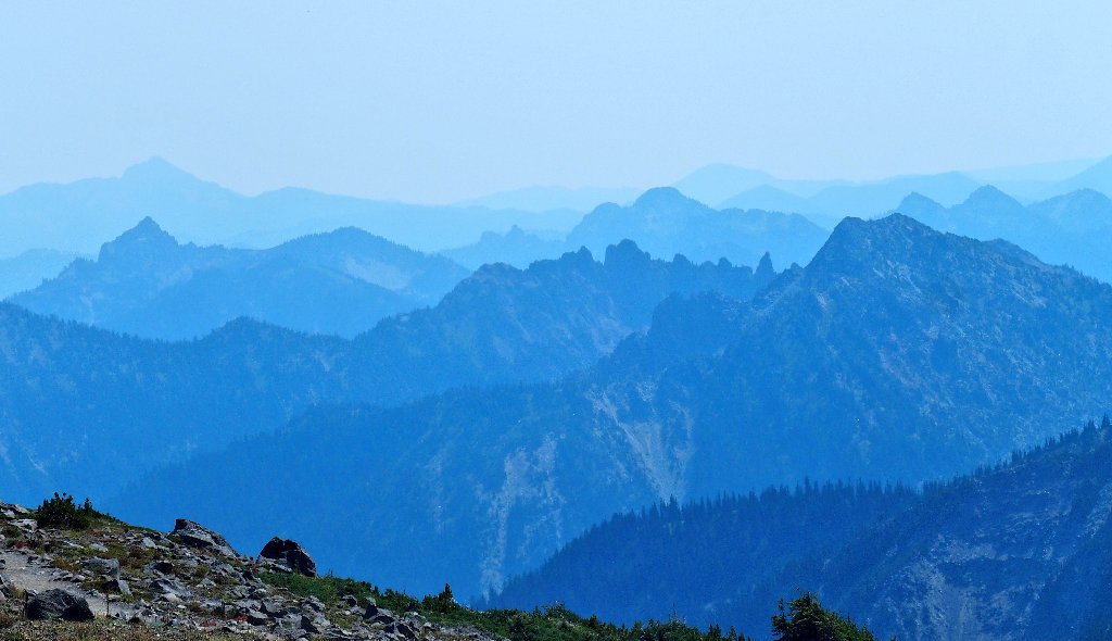
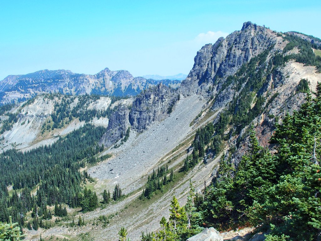
Ramparts to the east
This long ridge is collectively named Burroughs Mountain; however, the three
distinct high-points are designated as First, Second, and Third
Burroughs. Getting to the the next peak would involve a bit of downhill
before heading back up.
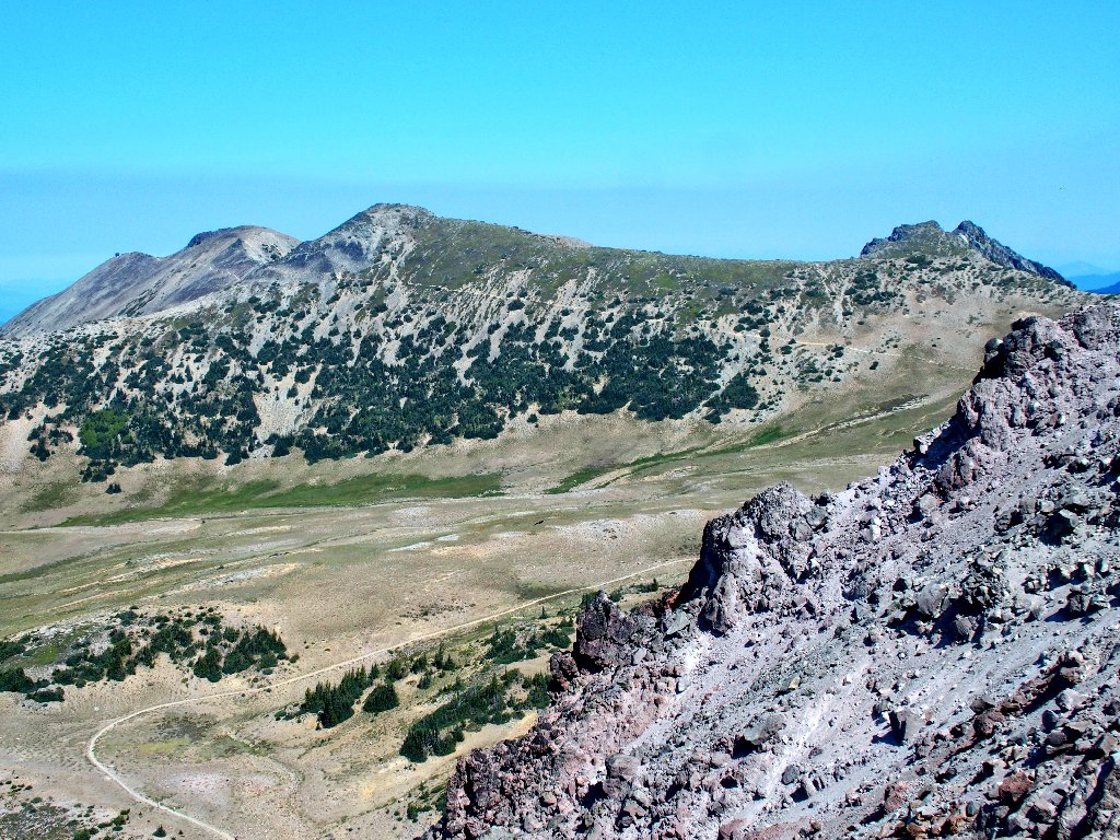
Second Burroughs Mountain beckons
Should I do it? Of course. Was the issue ever really in doubt?
Committing to the climb
On a mission of his own. Perhaps he can't read a map either
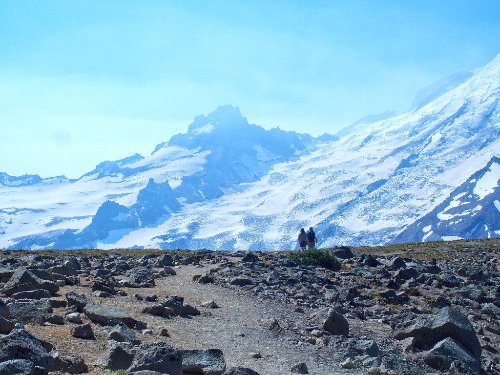
The next overlook is predictably glorious:
This is why I go hiking
There is an elaborately constructed stone bench right on the top. It is occupied, though; so I sit next to it and have a little snack. Then I ask the man on the bench to take a photo for me.
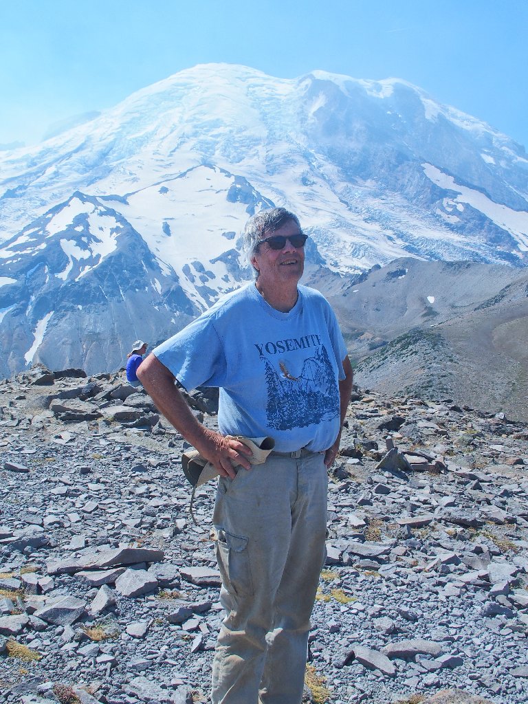
Yours Truly
Then the man places a forgotten water container in a prominent position.
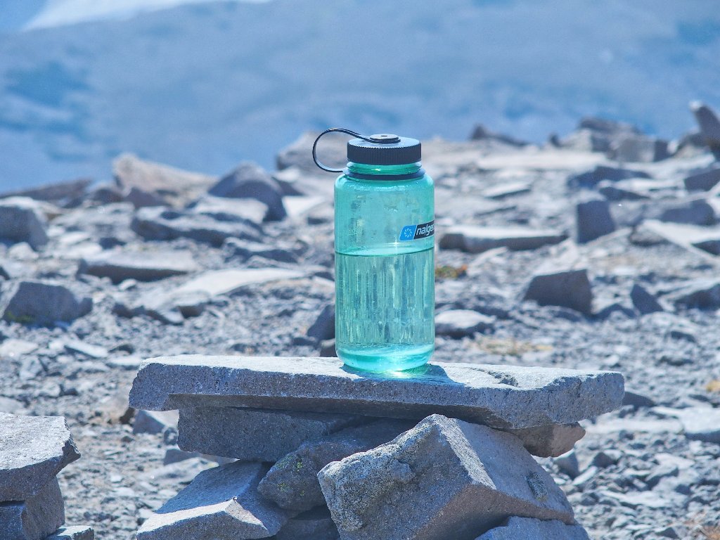
That's a $12 bottle, so someone will grab it
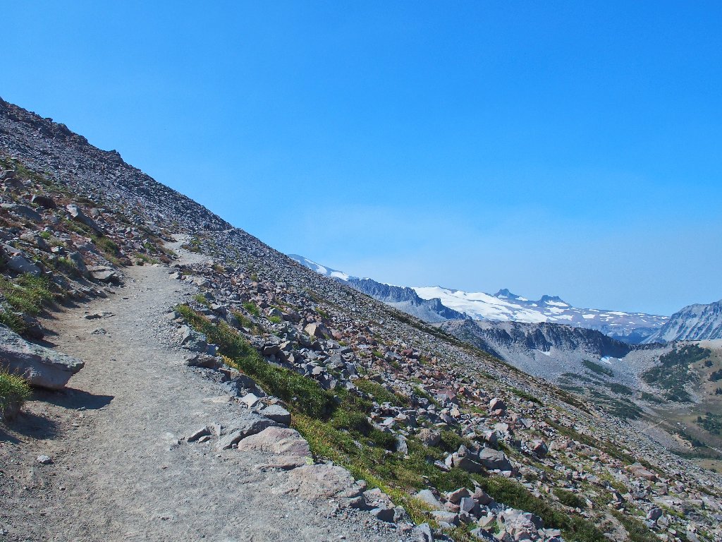
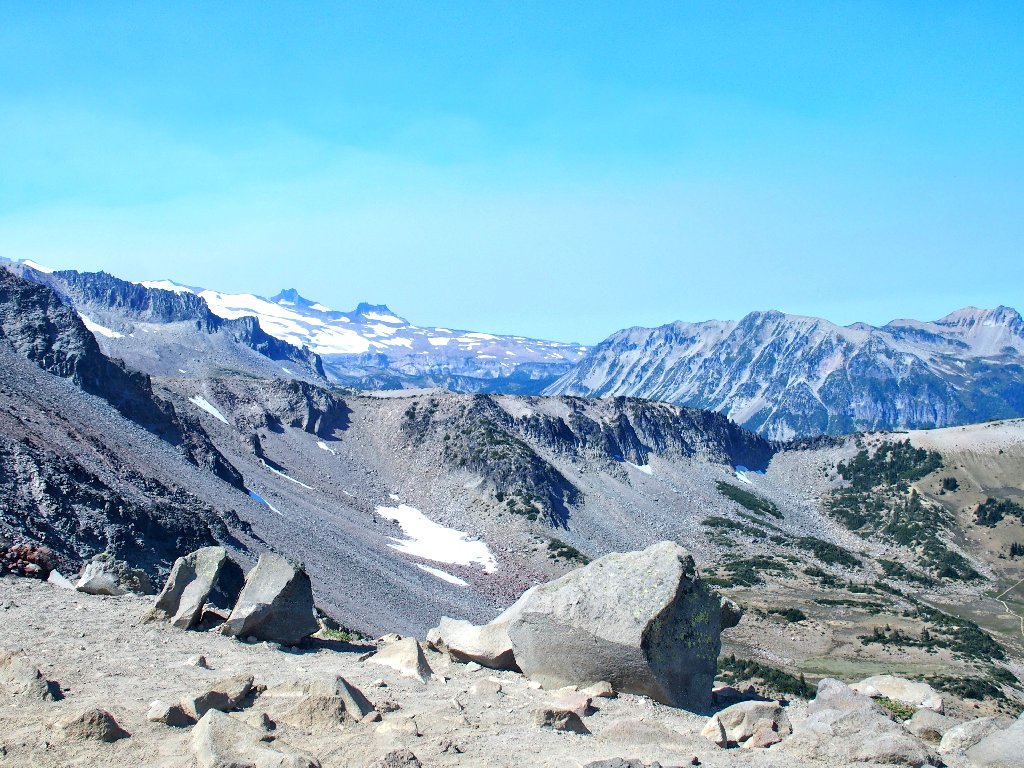
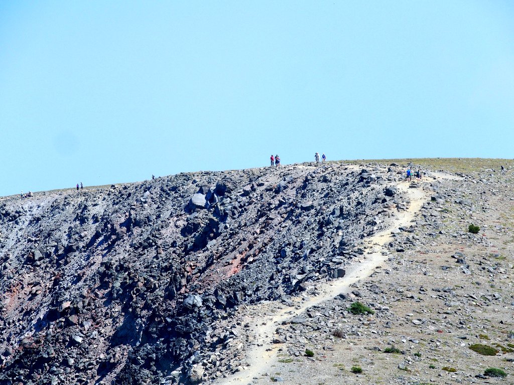
In the distance is Third Burroughs. Getting up there would be
rather more involved, including a 350-foot downhill followed by an
800-foot climb. Some folk are tackling the route; in fact I
can see six hikers over on the summit. Most are content to stop here,
though, and apparently I am one of them.
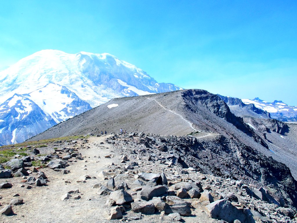
Atop Third Burroughs
Getting there takes some doing
I get my turn on the nice bench; then it is time to relinquish it to a mom and her partially disabled son.
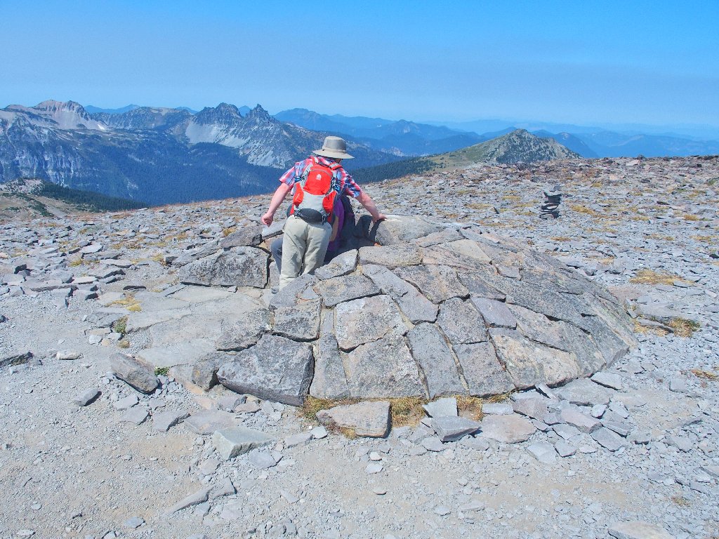
The boy has done well to make it this far
This mountain features twenty-five named glaciers. I am looking right at the granddaddy of them all:
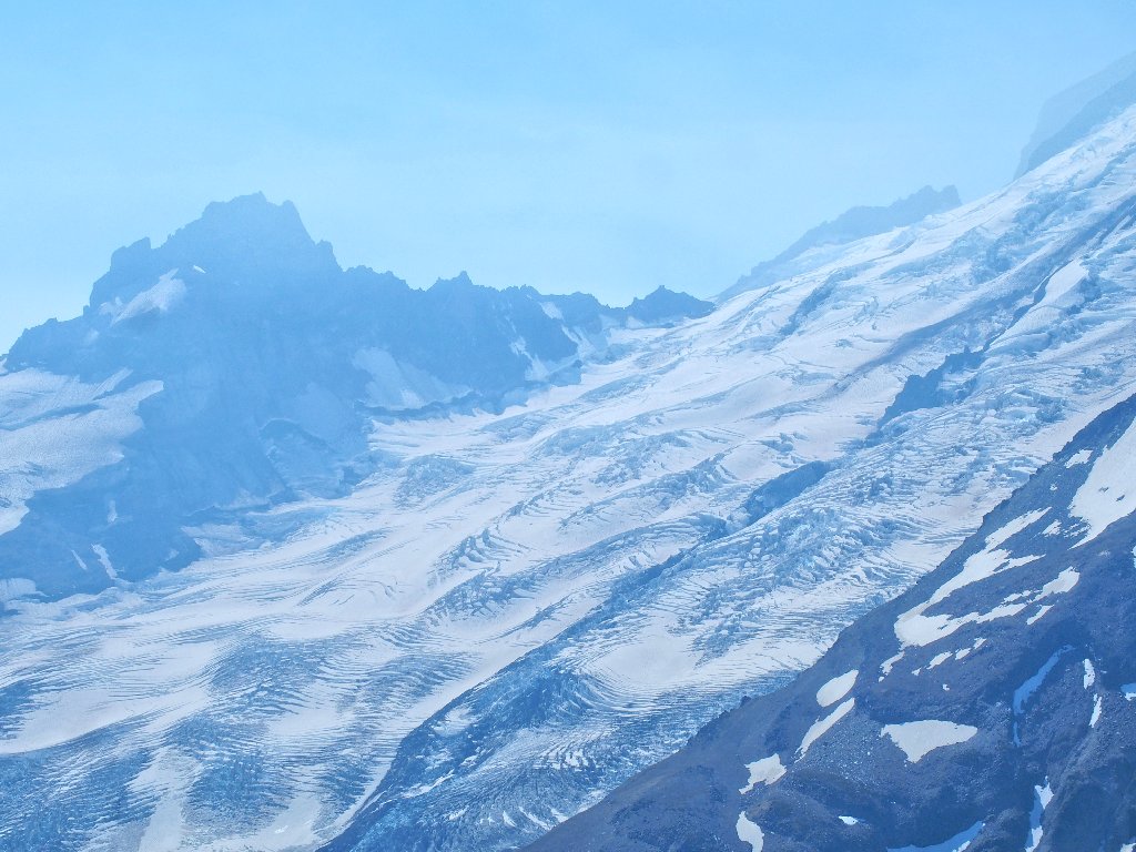
The 4.3 square-mile Emmons Glacier is the largest
in the nation outside Alaska
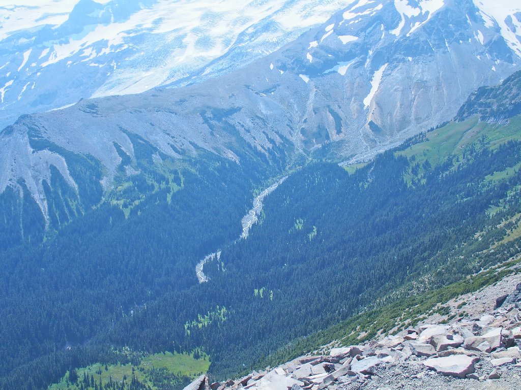
Below the glacier is the aptly named White River
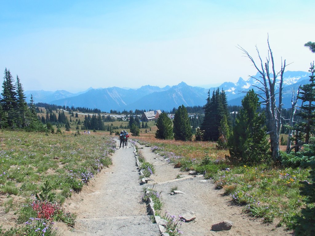
It's time to head back. A signpost points to
the alternative route back to Sunrise that is just
0.4 miles longer, but for some reason I ignore it.
Back at First Burroughs
Westward view
Looking back
It is worth returning here just for this colorful scene:
Mount Fremont overlooks Frozen Lake
My earlier bushwhack doesn't seem to have caused a significant energy drain, because I am passing everyone on the trail now.
"Outa my way! I'm comin' through"
This is where I scrambled up earlier
North of Sourdough Ridge
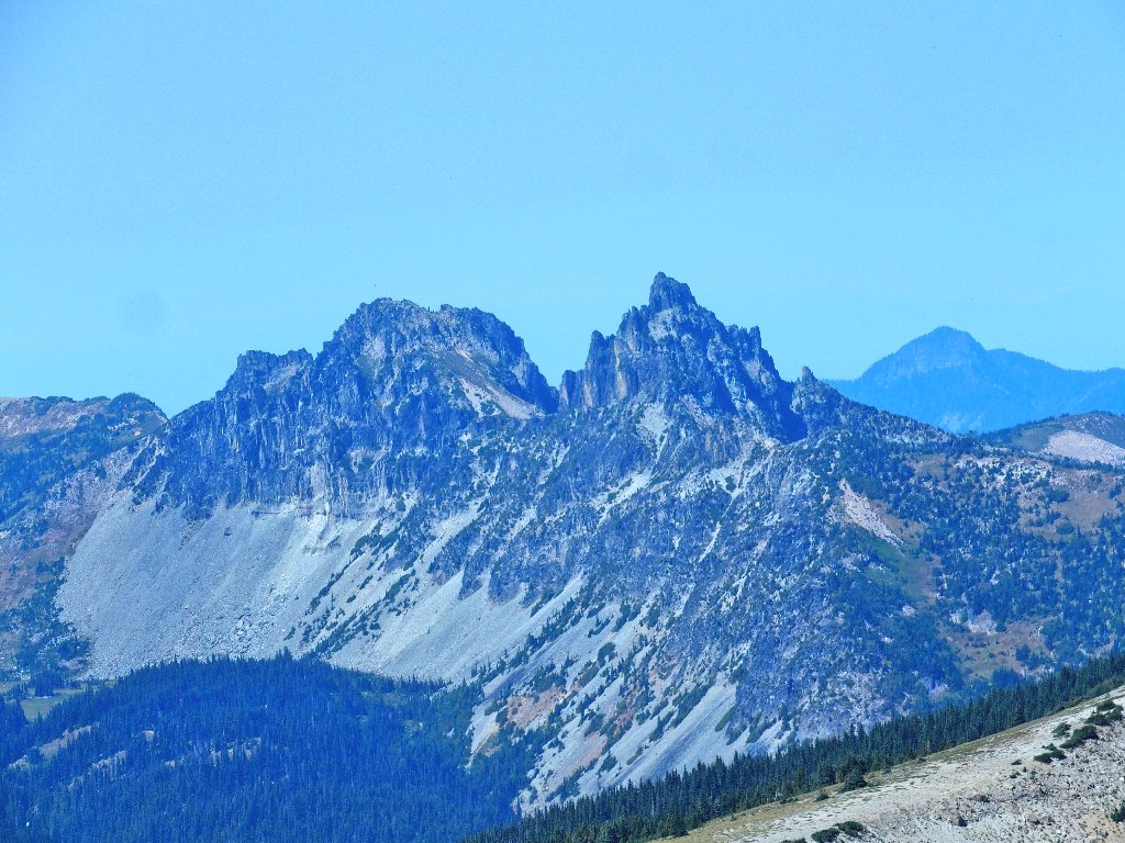
Marcus Peak in the background; unnamed crags above
Finishing up
§: This was a great choice of walks. I got
my desired up-close-and-personal experience with the big
mountain, and the going was easy while I actually was on a
trail. I really should have continued to Third Burroughs,
however. The entire hike would have been less than
8 miles, with only 2100 feet of gain.
It was a bit too warm for comfort today, but the scenery made up for that. I added something to the rating just because the environment of this trail is so relatively uncommon.
My research was woefully inadequate, however; and why I did not capitalize upon the opportunity to complete a nice loop after all remains inexplicable. Because my TOPO! mapping software doesn't include a module for Washington state, no waypoints or other references had been prepared. It so happens that I was on the wrong road from the outset.
Other mapping options are available, and they must be utilized straightaway.
| Scenery |  |
| Difficulty |  |
| Personality | |
| Solitude |  |
