
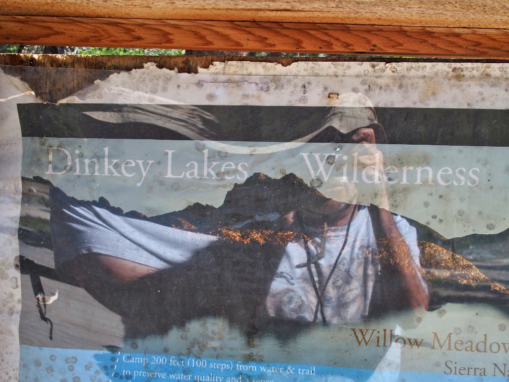
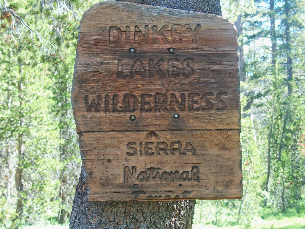
Dinkey Lakes Wilderness
|
Dinkey Lakes Reprise Dinkey Lakes Wilderness |
August 15, 2017
During my visit here last year, I let a visual sighting override my GPS, resulting in a retracement of my steps rather than the completion of a loop hike. Today I hope to cover the ground that was missed earlier, plus a bit more.
The shortest route to the trailhead is closed due to a bridge washout, so I continue to a known alternate route that adds three rotten miles to the journay. My new Outback handles it beautifully, however.
Some
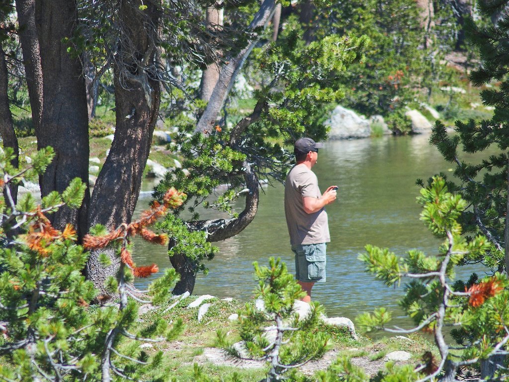
Selfie at the trailhead
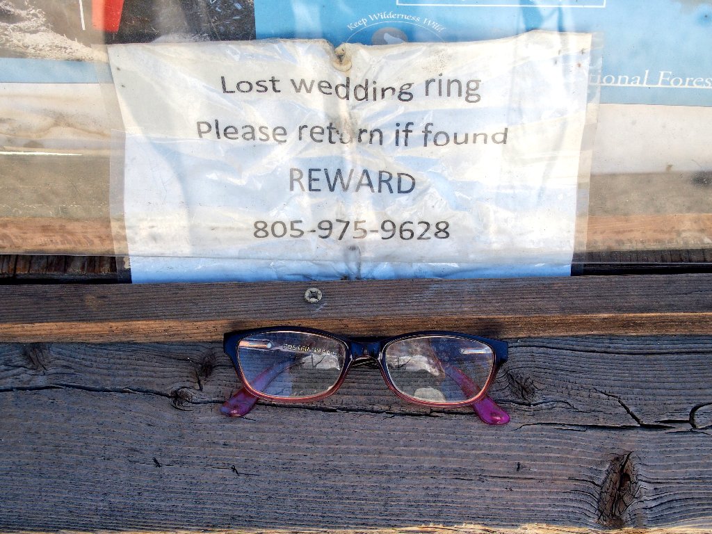
The Lost & Found Department
There is but one other vehicle here at 10 o'clock, which is no surprise. The skies are clear, and it is warm enough that I elect not even to pack an outer shirt.
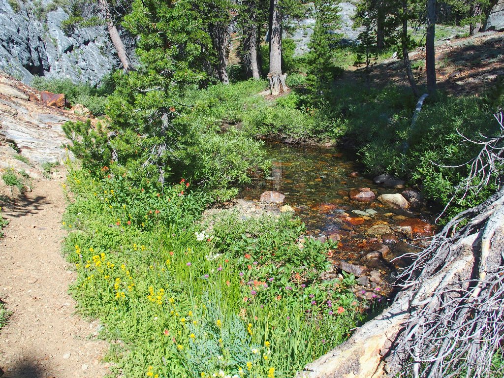
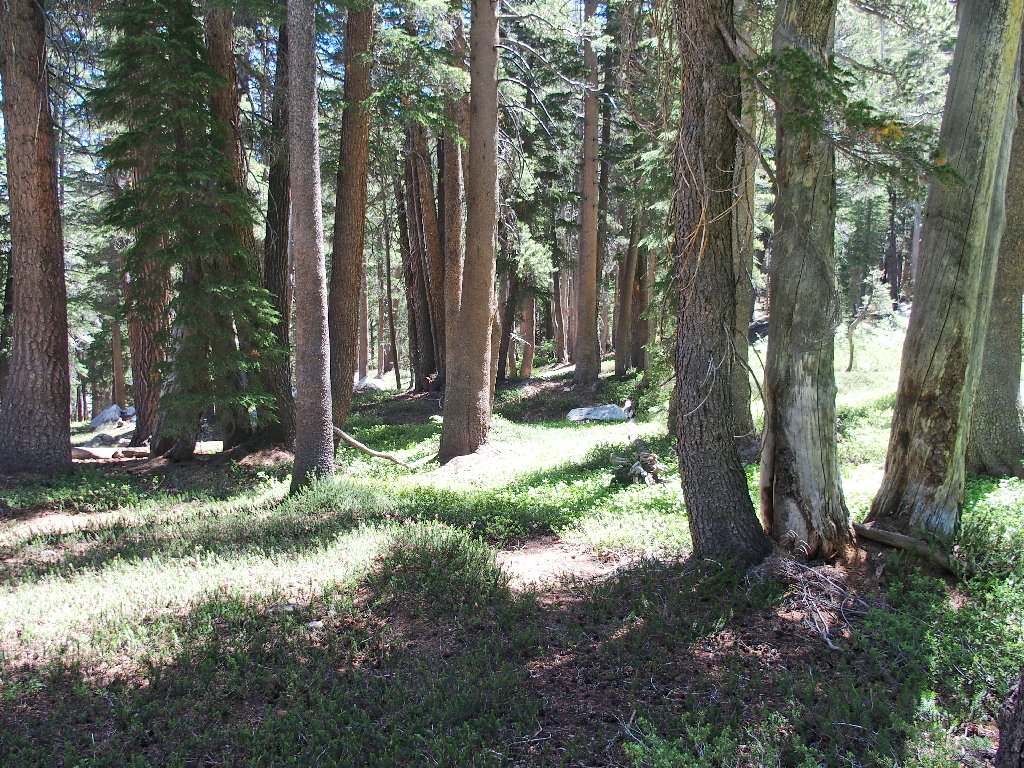
The walk begins next to Dinkey Creek
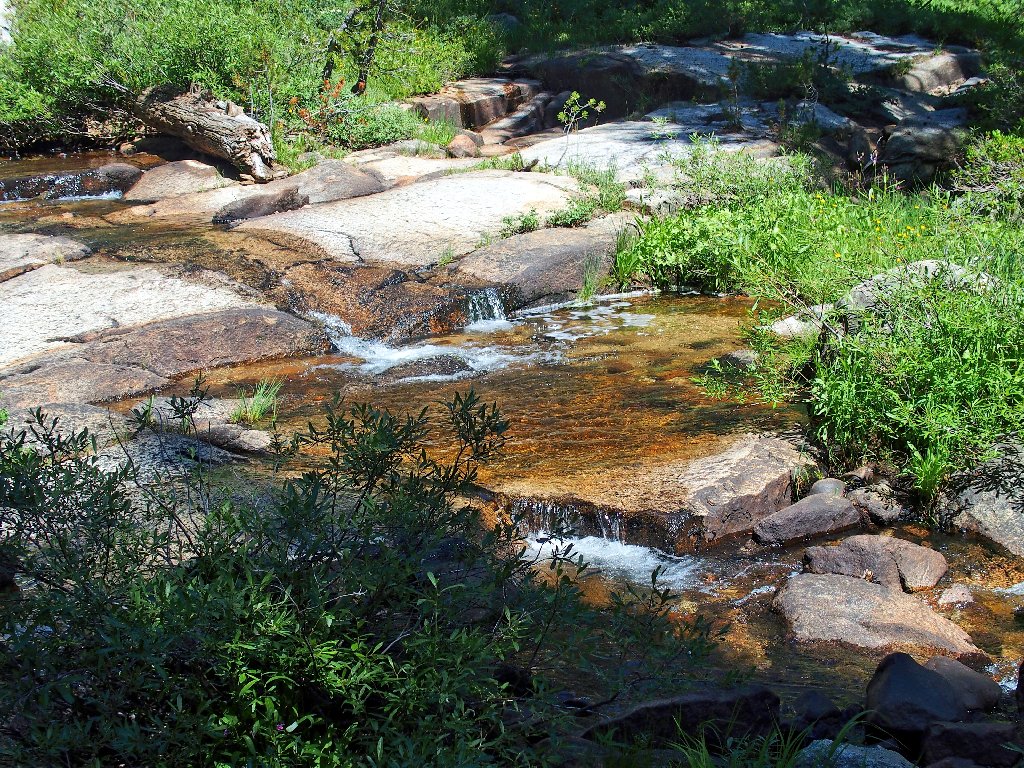
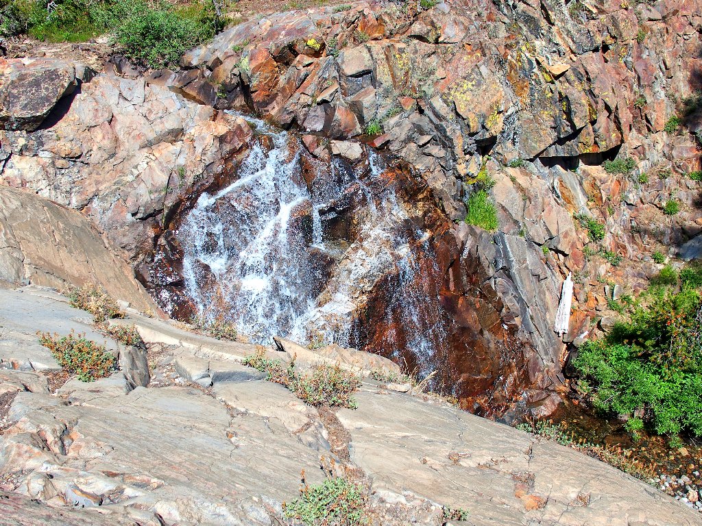
I am off to a good start, encountering a nice waterfall almost immediately.
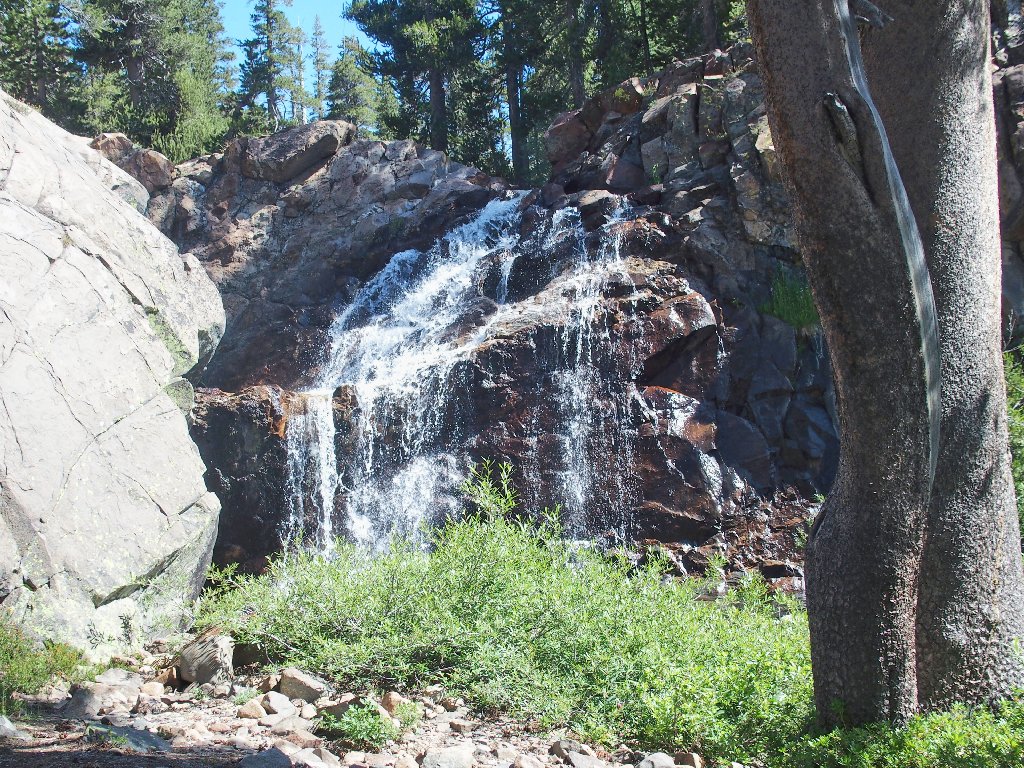
There was no running water here last year
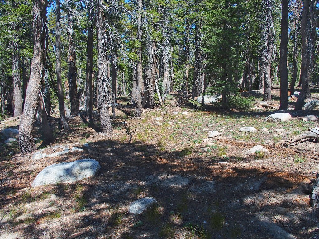
It is about a mile and a half and a 200-foot climb to the first trail junction, with the creek in view most of the time.
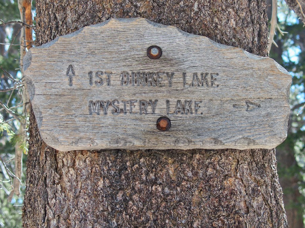
This time I turn to the right. A short series of switchbacks ensues; then what looks like a big pond appears to the right of the trail:
Nice
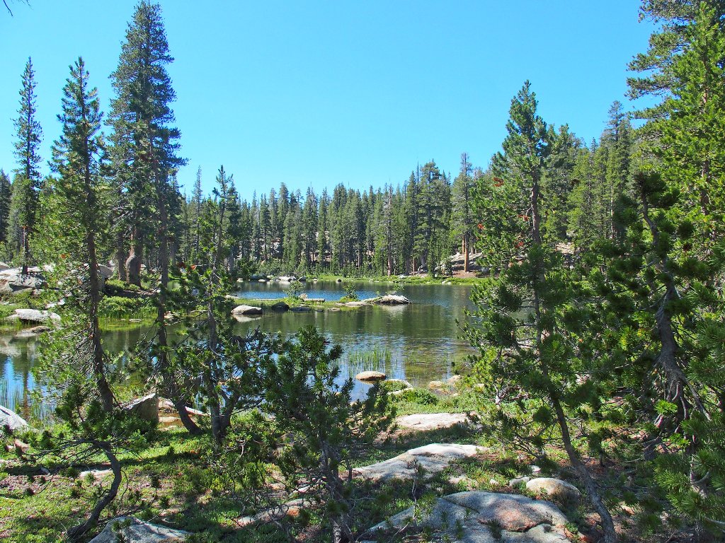
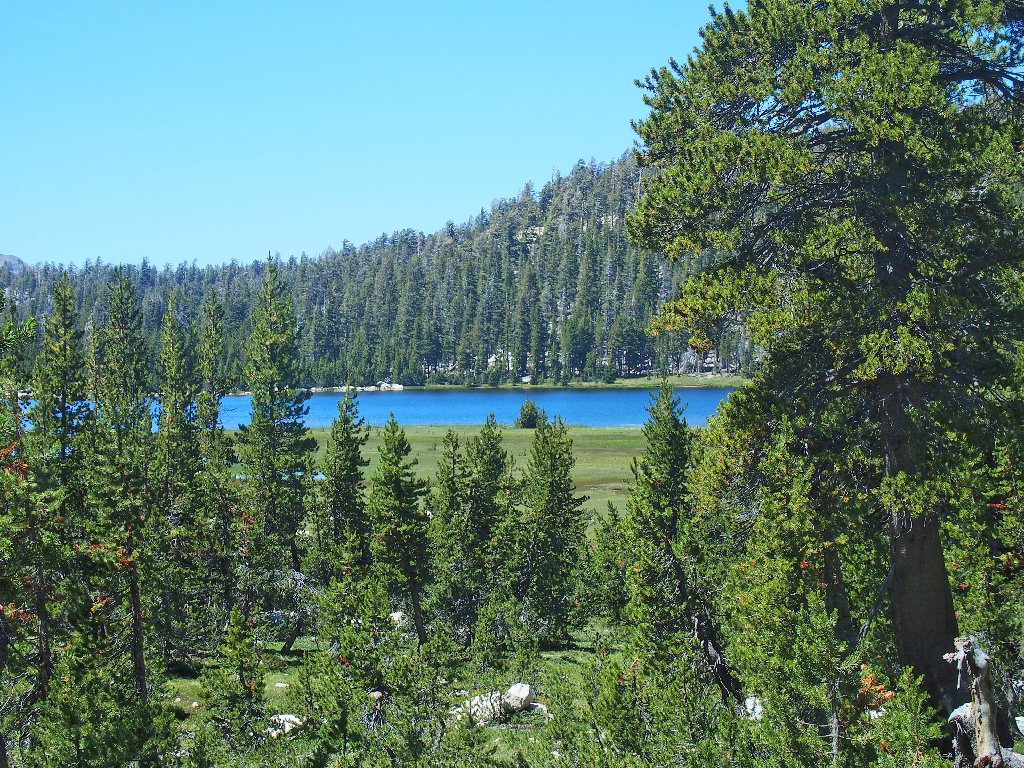
Very soon, however, it is revealed that that presumed pond actually is the westernmost portion of something bigger:
Mystery Lake
A big marsh at the eastern end of the lake
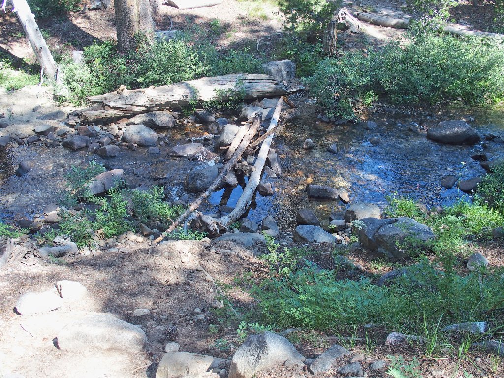
I elect to walk on the grass for a time, trying not to step on the shooting stars; and it's just as well, because the trail is unusable here.

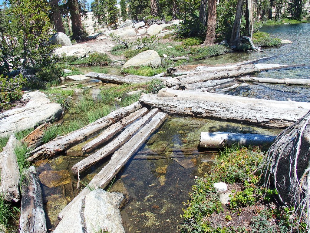
The walkway is flooded
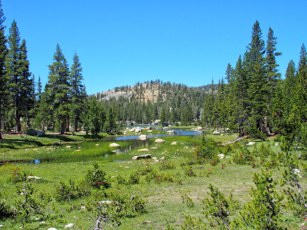
Final view of Mystery Lake
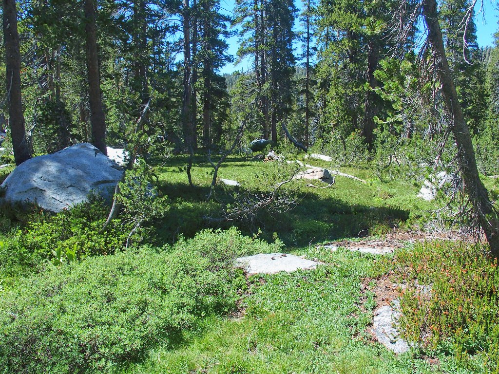
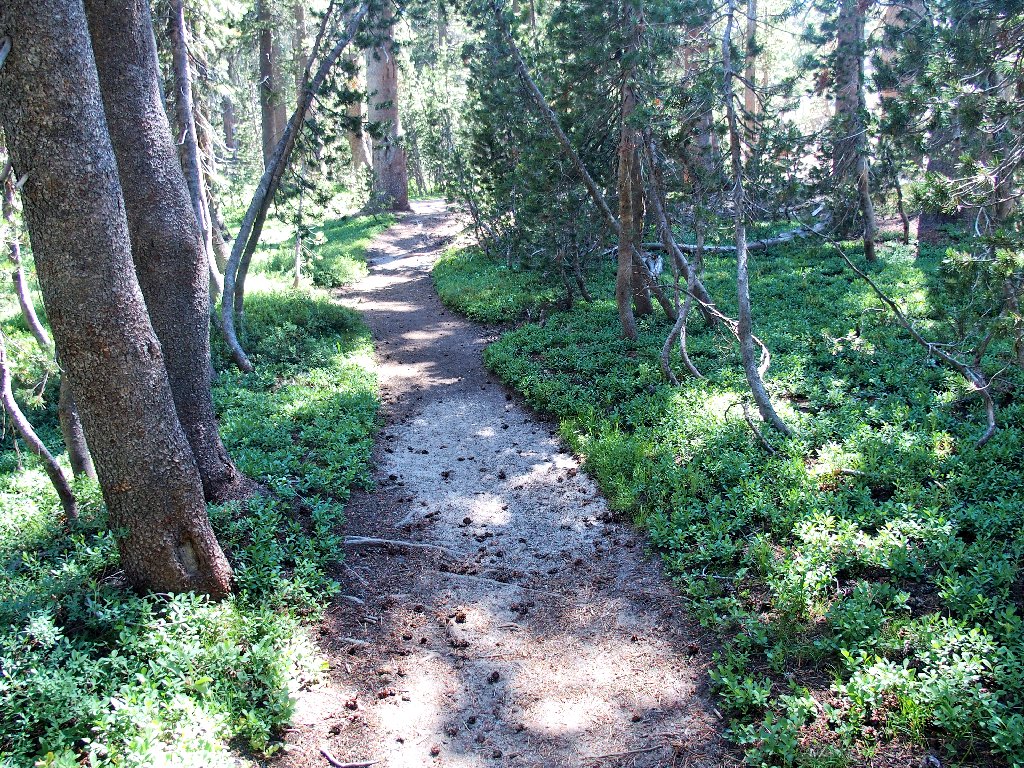
As I saw last year in this area, portions of the trail seem almost
hand-manicured.
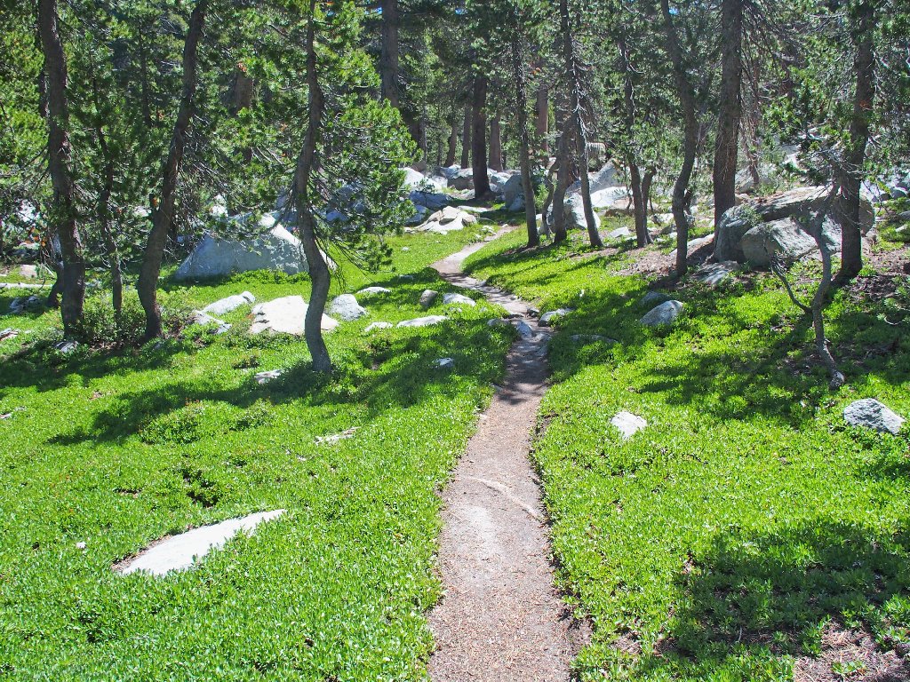
Walking here is a pleasure
Another half-mile or so includes a 300-foot series of switchbacks,
necessitating several rest stops, to the next attraction.
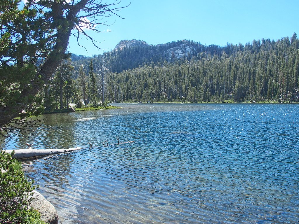
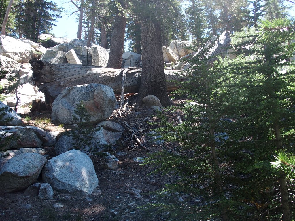
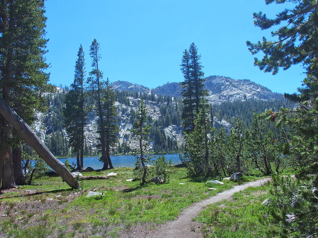
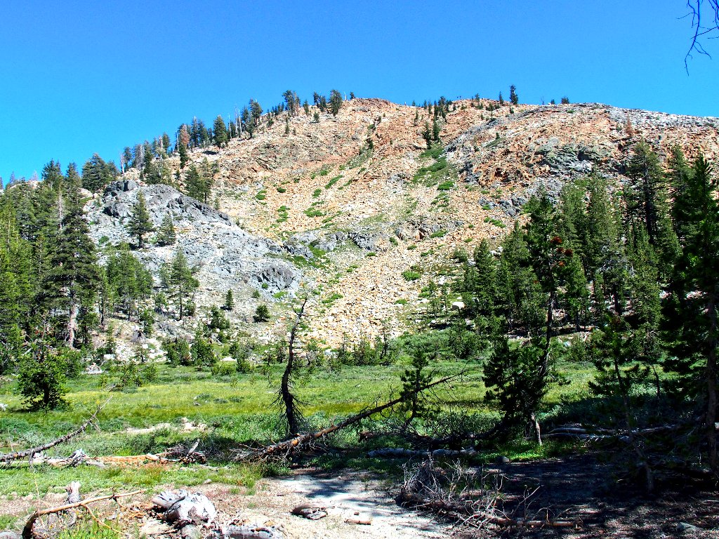
Swede Lake
After this hill-climb, it is time for a major decision. My original
pipe dream, admittedly designed for a younger person, was to include a
continuation eastward on trails to Island Lake, then loop back off-trail
past three high-elevation lakes. A portion of that planned
venture looks problematical and possibly quite difficult, however, as I gaze
up at multiple talus fields.
Also, I already am feeling the strain of this outing, and
the loop is only one-third completed. Not wishing
to wimp-out completely, though, I opt for a partial
cross-country venture, starting from here. The
destination is but three hundred feet farther up, and I
always could return here if it doesn't work out.
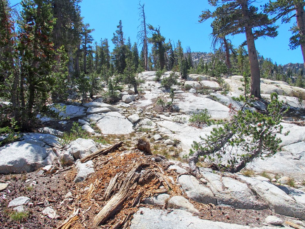
The going looks friendly enough
So far, so good
It seems that I didn't pay enough attention to the '300 feet' part,
however. I should have kept on climbing at every reasonable opportunity,
for now I am compelled to scramble straight up a draw that features a number
of obstacles.
Clambering up this old dead tree isn't so easy
Nearing the top
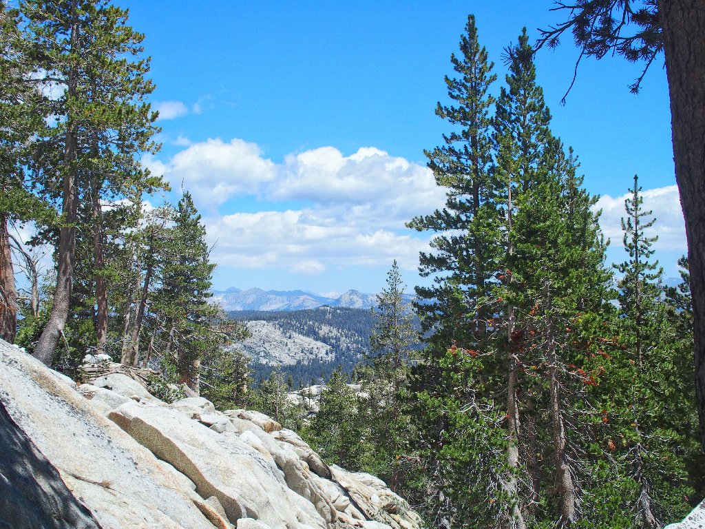
The scramble proves well-worth the effort, though; this little cirque is delightful.
Fingerbowl Lake
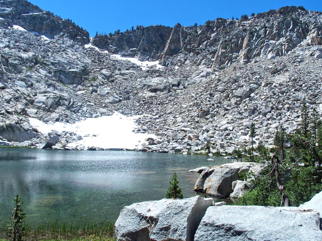
In truth, I never saw a cirque lake that wasn't delightful
The Three Sisters overlook the scene
I am not surprised to find a use trail heading eastward, for it is less
than half a mile of relatively easy travel over to the next lake.
Only a 200-foot climb is required this time.
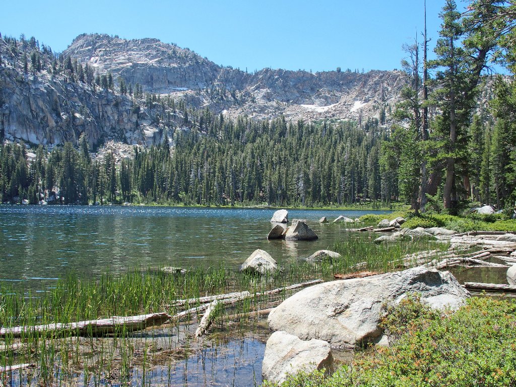
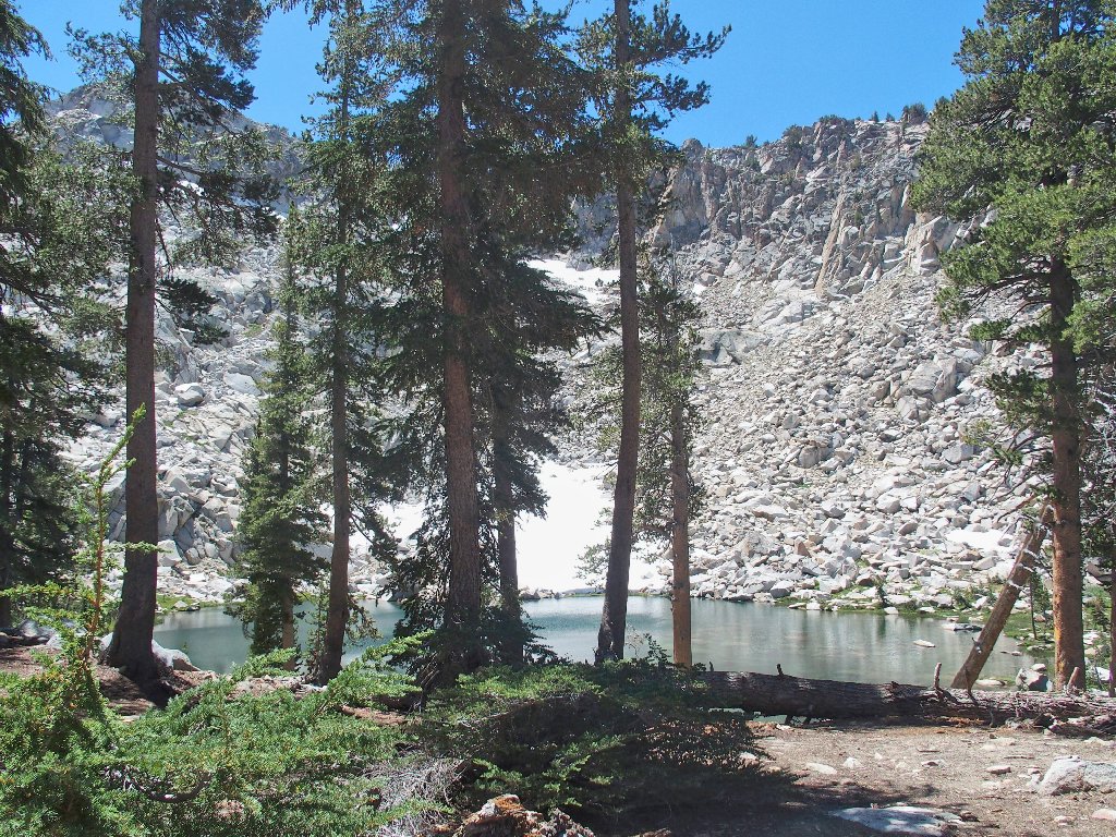
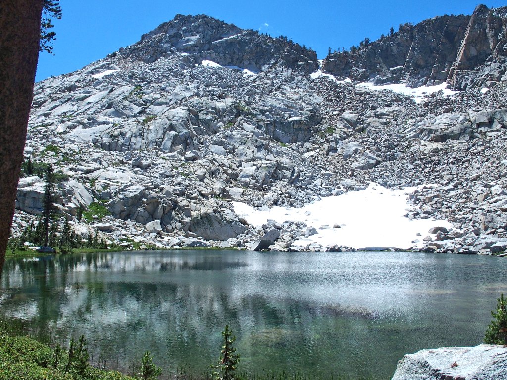
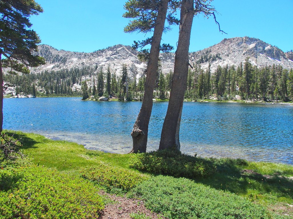
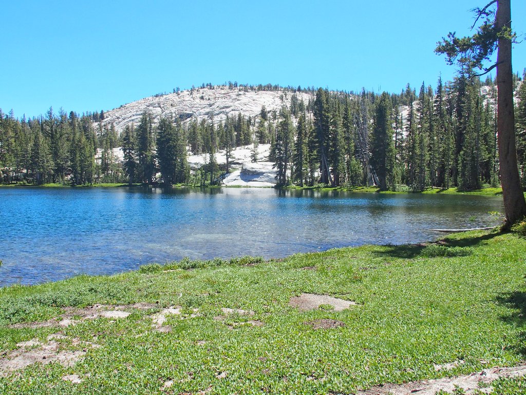
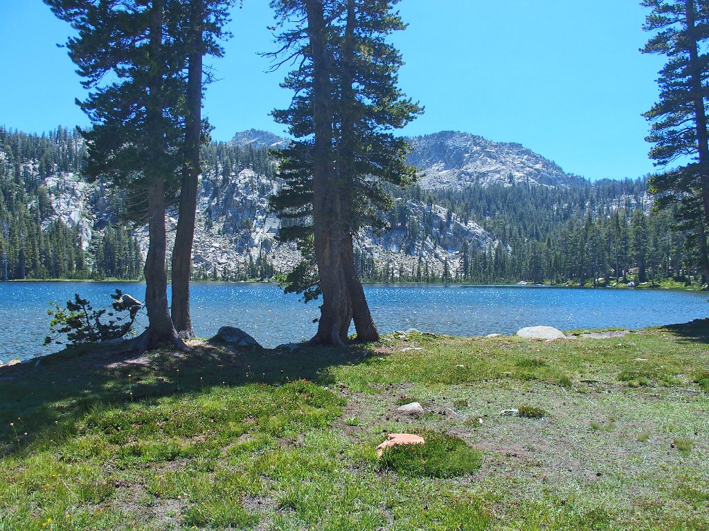
Island Lake
This pristine environment is no less delightful than the other one, but in a different way. The stark white granite lining the shore is quite beautiful.
This is why I go hiking
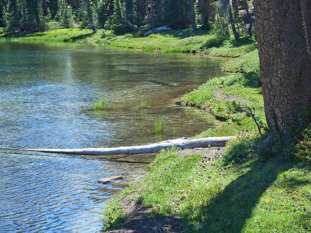
At the outlet
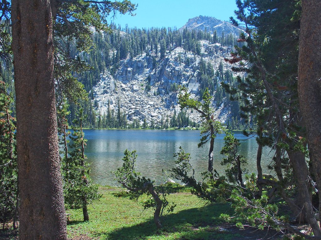
From the east side, the Three Sisters all are in view
This is the elevation high-point of my loop; but I have yet to
reach the halfway point distance-wise, so I won't tarry here.
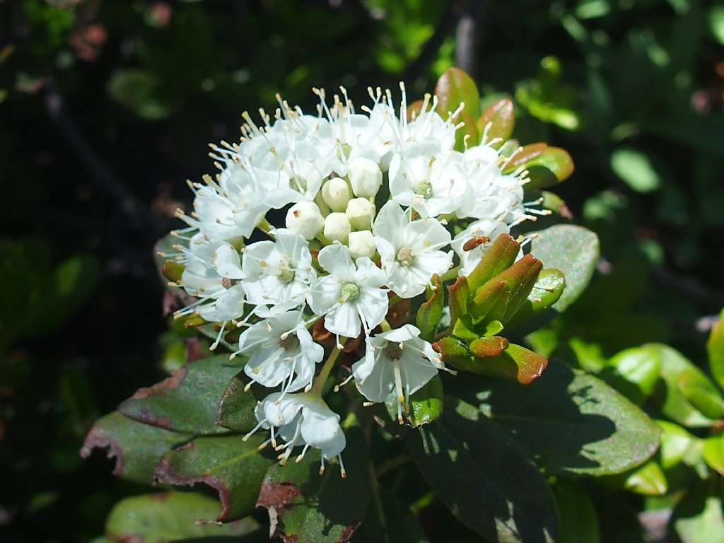
Labrador Tea
Tunnel Tree
The Sierra Crest is twenty miles distant
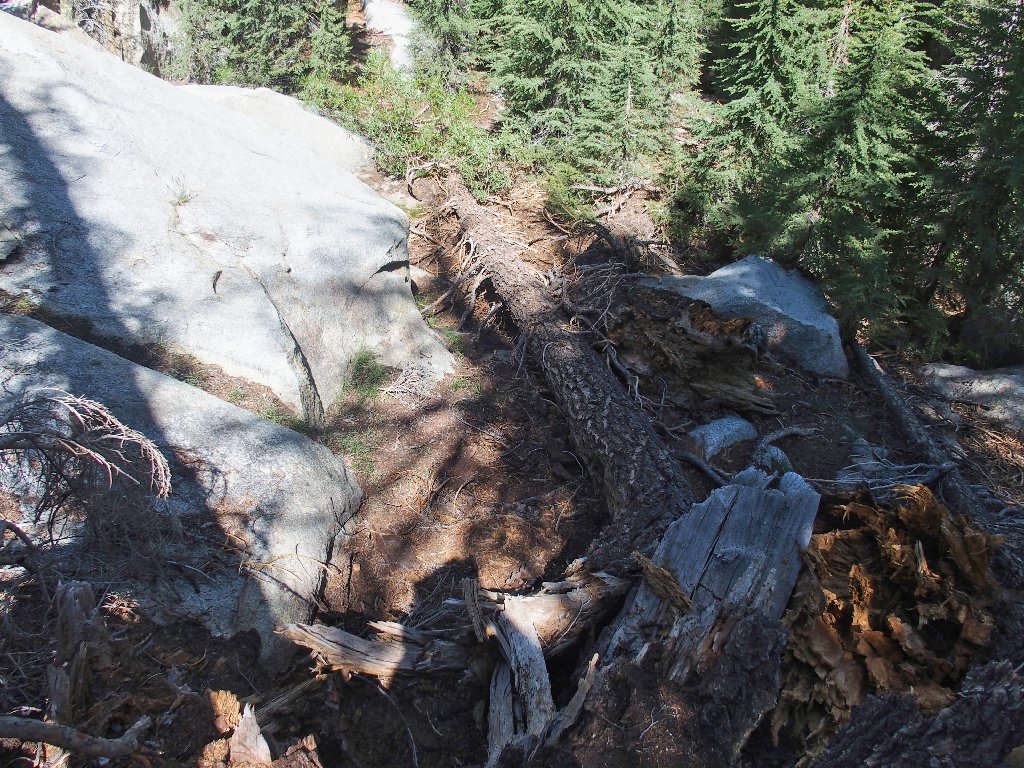
Getting down to the next lake proves problematical, because one section of the route is absolutely horrid. Right now I'm glad that I wore my heavy boots.
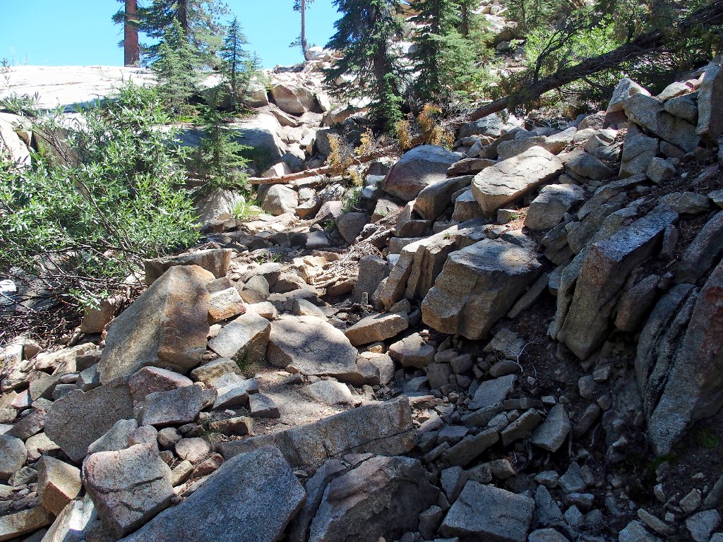
The worst trail segment this side of Argentina
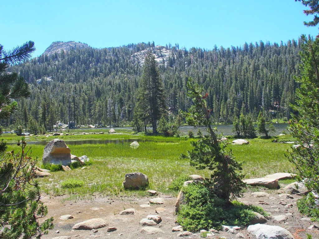
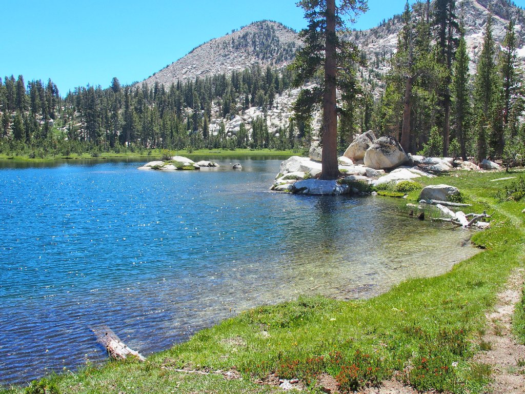
Second Dinkey Lake
It's time to pause for snacks and some R&R. I walked by the other side of this lake last year on my way up to the lovely Rock Lake.
This lunch spot is inexplicably free of mosquitoes
Now I can start back. There is one more new attraction on the agenda, the same one I missed out on last year when I made a wrong turn. This time, even as I track my GPS religiously, I still end up veering farther north than necessary.
First Dinkey Lake
That's the lake I headed for previously, but it's the wrong one. Finally, I hone in on the desired location:
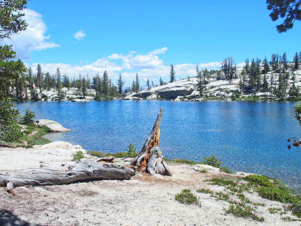
South Lake appears
Wow! This is my fifth new lake of the day; that's quite a haul.
I was up there behind that ridge just a couple of hours ago
Human voices approach, accompanied by two humans and a dog. They ask
whether this is the best spot. I point up in the direction of Fingerbowl
Lake, proclaiming it to be the best spot; but that comment draws a
blank stare. They are simply "doing the loop counter-clockwise".
The couple stops here for a break
From here, I am loath to continue on the trail back to Swede Lake, because
I didn't like that steep section of switchbacks on the other side.
My luck has been good thus far; so I opt to strike out cross-country
again, veering somewhat to the north despite the extra distance involved,
knowing that sooner or later I will run into the primary pathway.
The cross-country going is easy
The one steep downhill is negotiated without incident; and in less than an hour I do access the main route that leads to First Dinkey Lake.
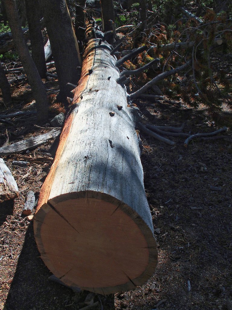
Back at Dinkey Creek
Having a two-mile slog ahead of me yet, I break out my Walkman. Listening to music definitely relieves the tedium of a 'just getting there' walk, even with a babbling brook nearby.
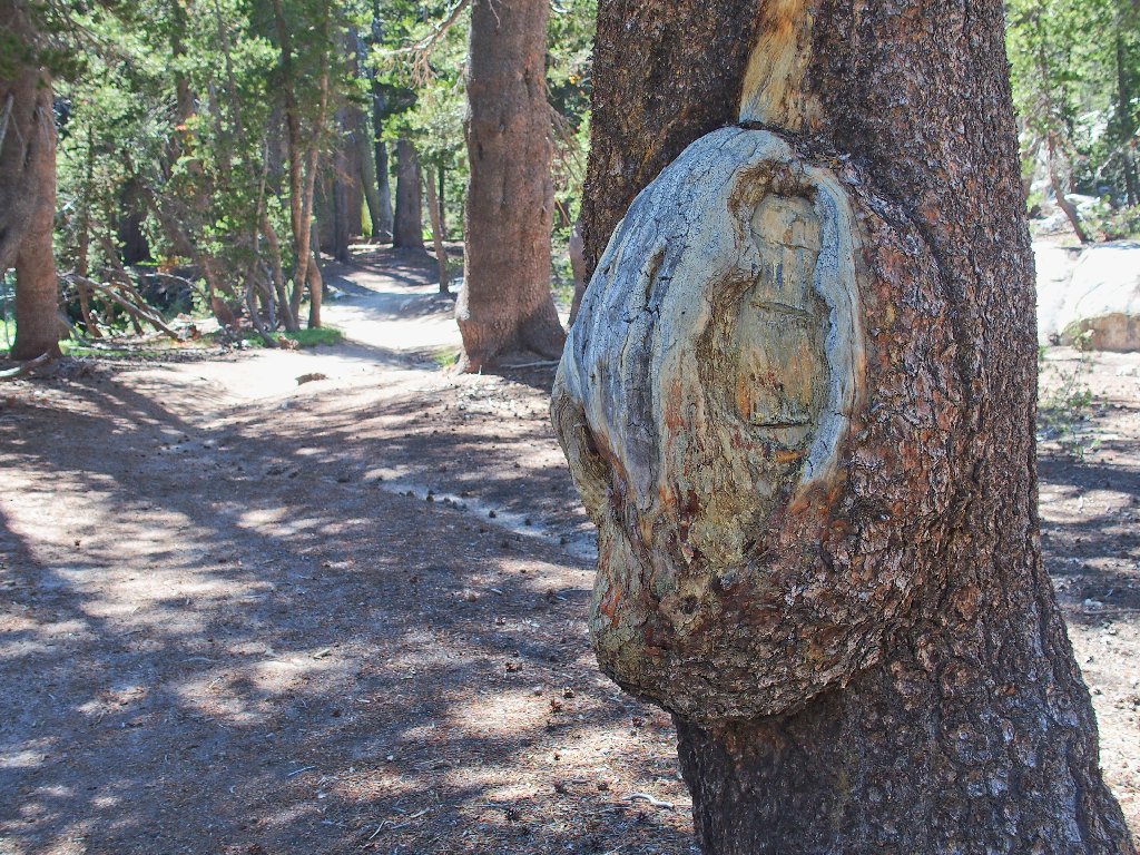
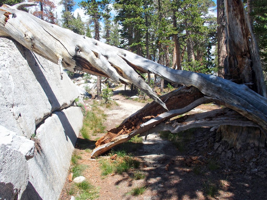
An unusual place for a blaze
More 'manicured' trail
This rock turns red when wet
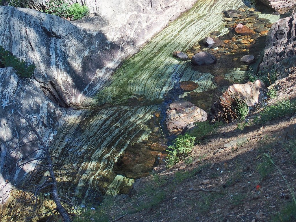
The limestone turns green when wet
§: This was such a rewarding outing — another typical
Ted-Hike, featuring new and beautiful lakes, great cross-country
ventures, perfect weather, and a modicum of adventure. The only drawback
was the condition of the access road.
The Dinkey Lakes Basin is a very mellow place, with various choices of routes and many campsite options as well. If you fancy a quiet place to stay, this is a good choice.
| Scenery |  |
| Difficulty |  |
| Solitude |  |
| Adventure | |
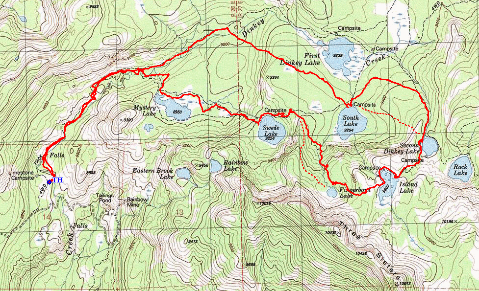
The dotted red lines are the suggested cross-country routes
