Mokelumne Wilderness
|
Carson Pass to Red Lake Road Mokelumne Wilderness |
August 8, 2017
It has been five days since my last hike, so I must do
something; but I can't seem to muster the energy for anything
spectacular. Because of the persistent snowpack, I haven't
yet paid a visit to my beloved garden-spot this season;
so I will check it out today. That should be easy enough.
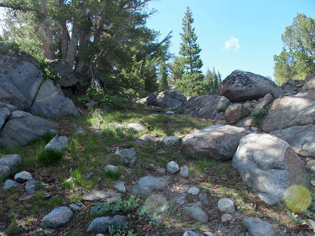
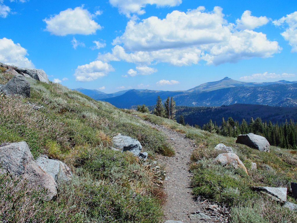
I start by trying to find the back way to Frog Lake that I used previously; but I cut up the hill too soon, ending up on the old abandoned trail instead.
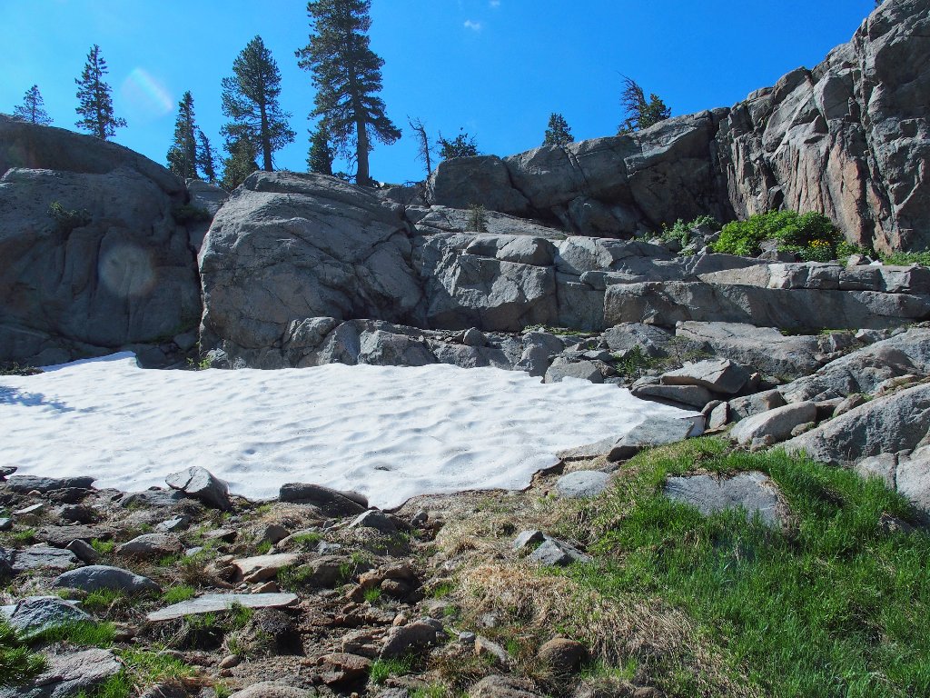
My 'shortcut' to Frog Lake
Thirty years ago, this was the main trail
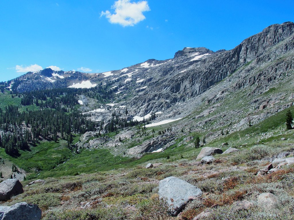
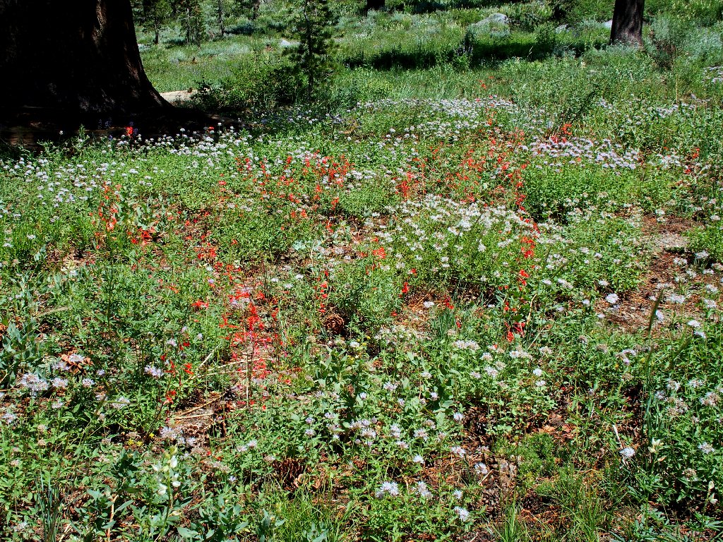
Skirting the north side of Frog Lake, I am anxious to check out the condition of one of my gardens. This proves quite disappointing, because the sierra stonecrop already have come and gone for the season.
What remains of Ted's Garden #5
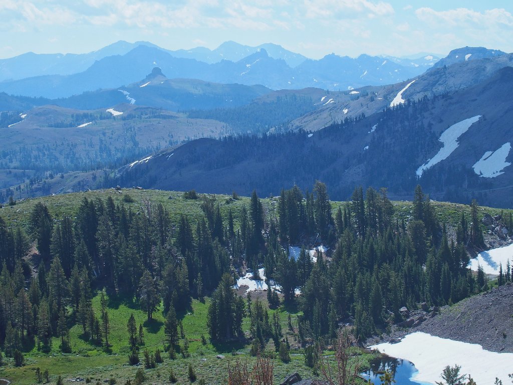
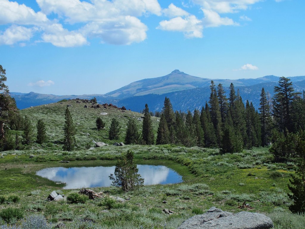
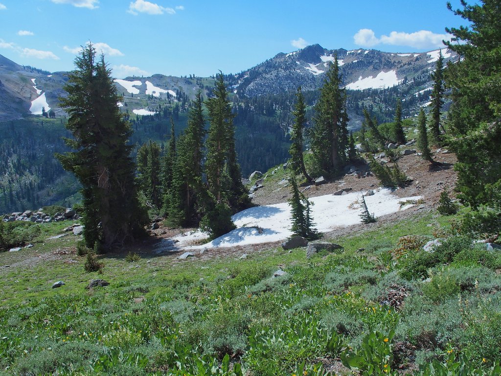
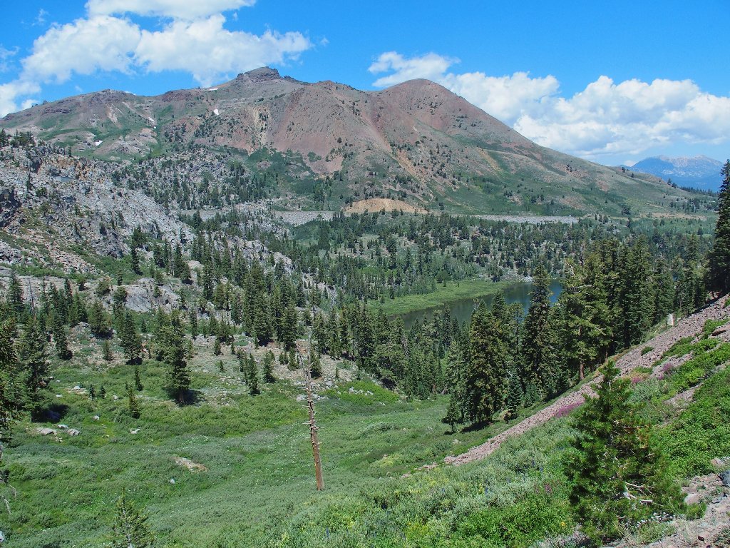
The lake itself is beautiful, as always.
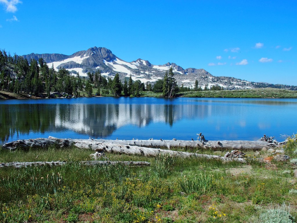
Frog Lake, Round Top, and The Sisters
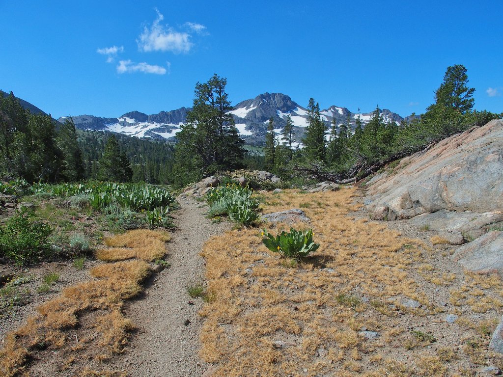
I continue on my standard cross-country diversion route, albeit not in the usual direction.
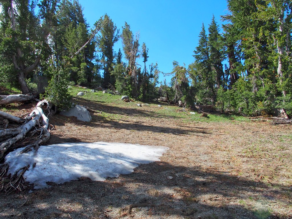
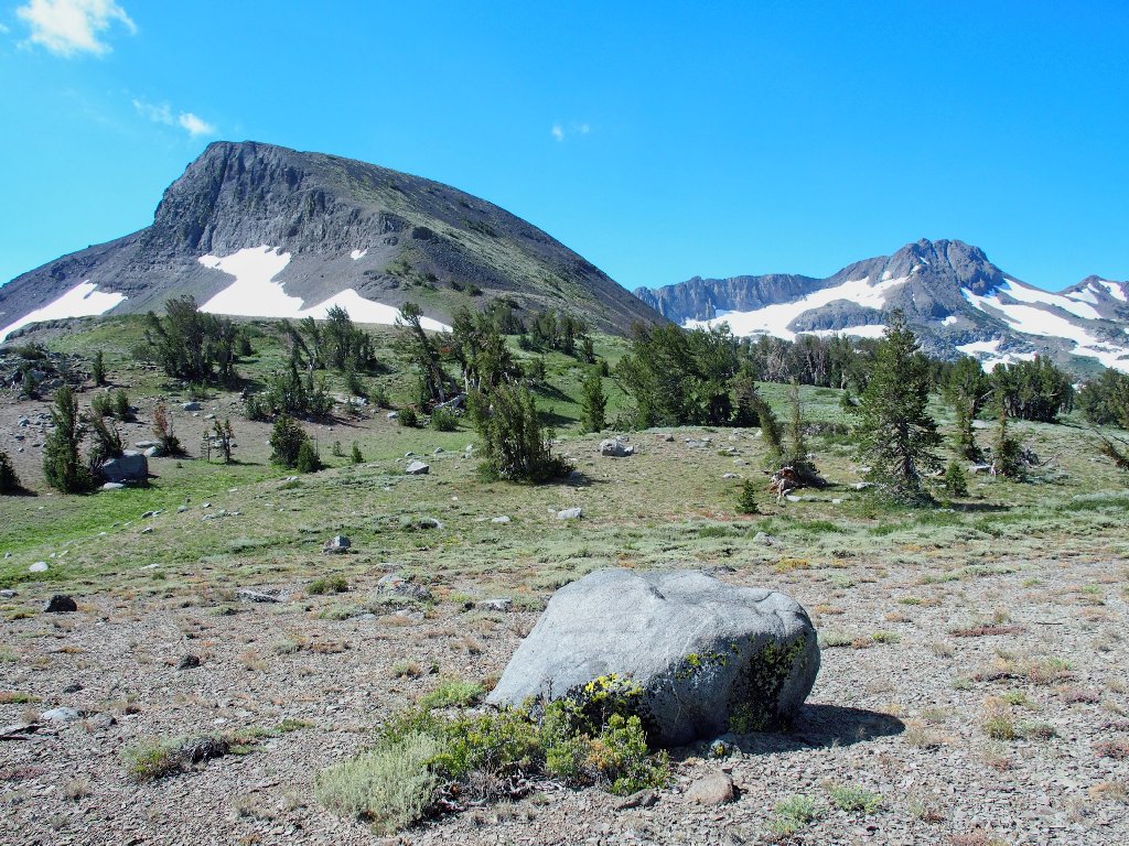
The back way is pretty easy
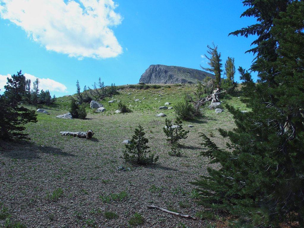
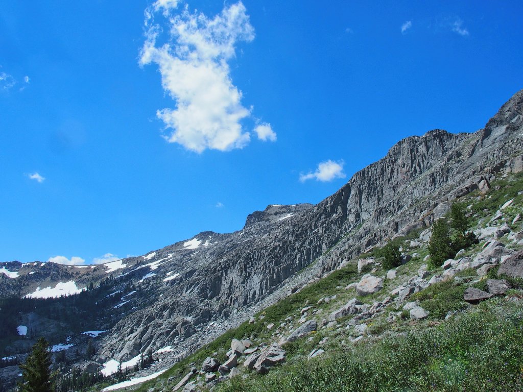
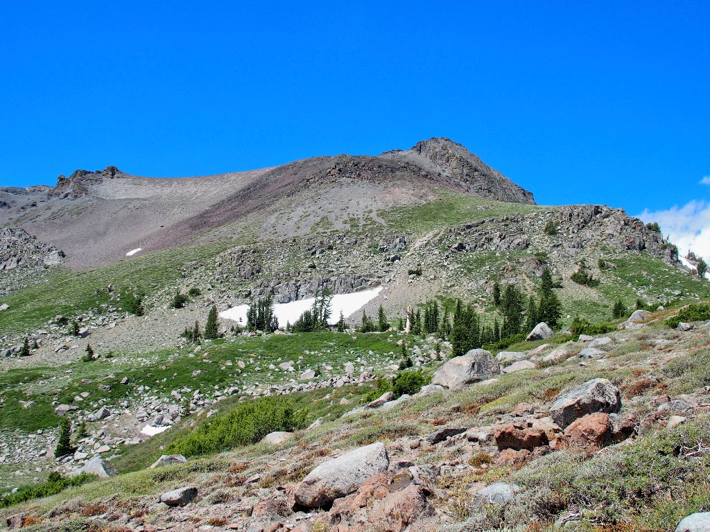
Elephants Back appears
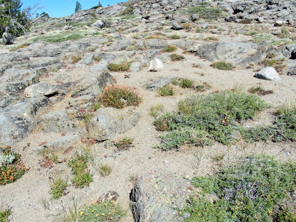
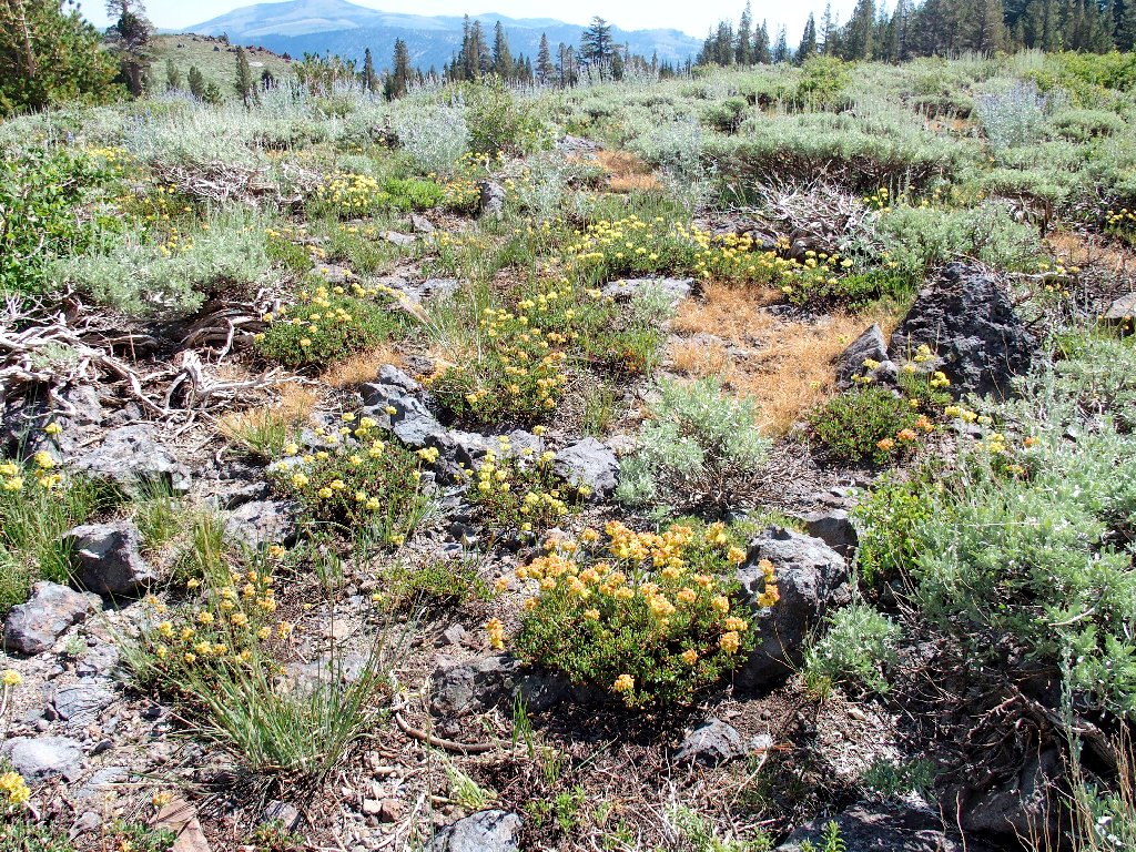
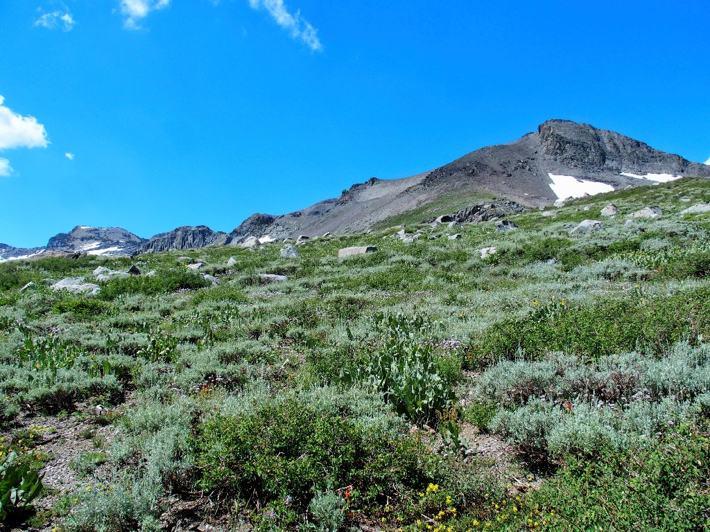
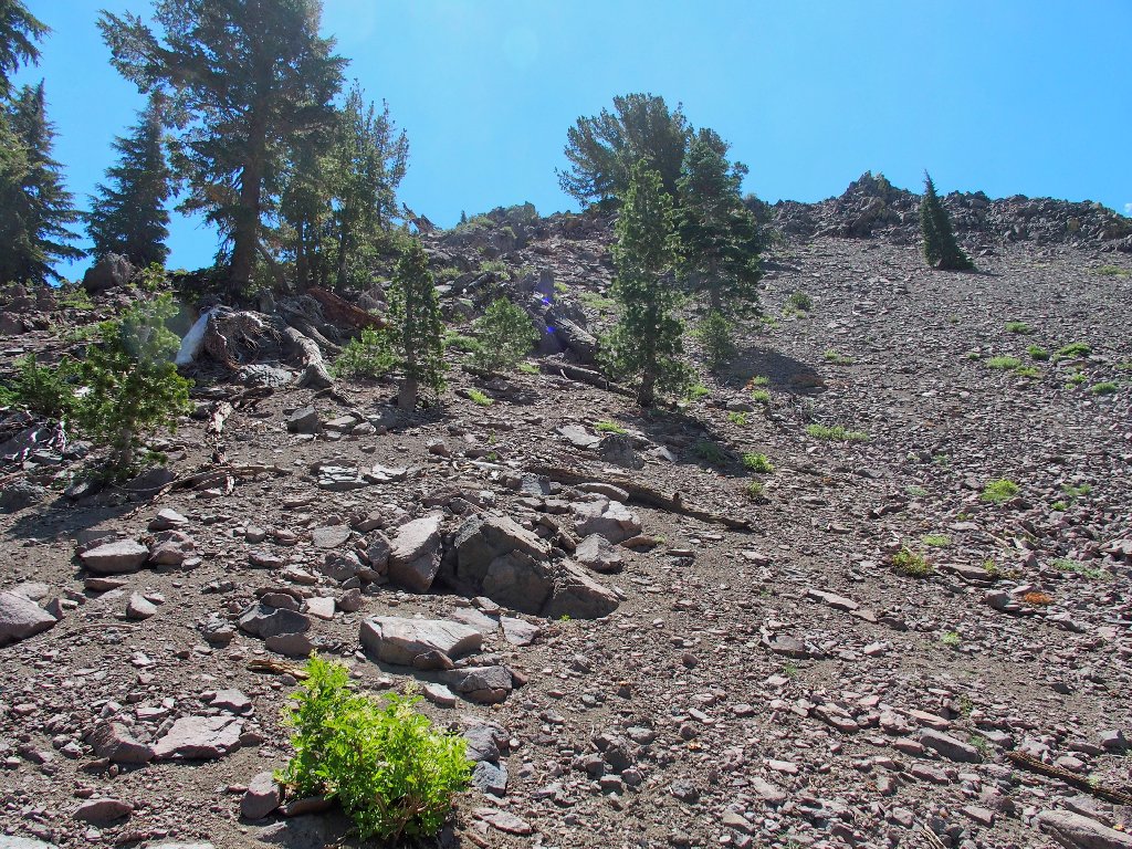
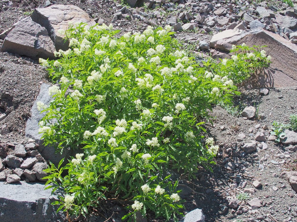
My luck isn't any better up here, for this little hilltop is relatively barren.
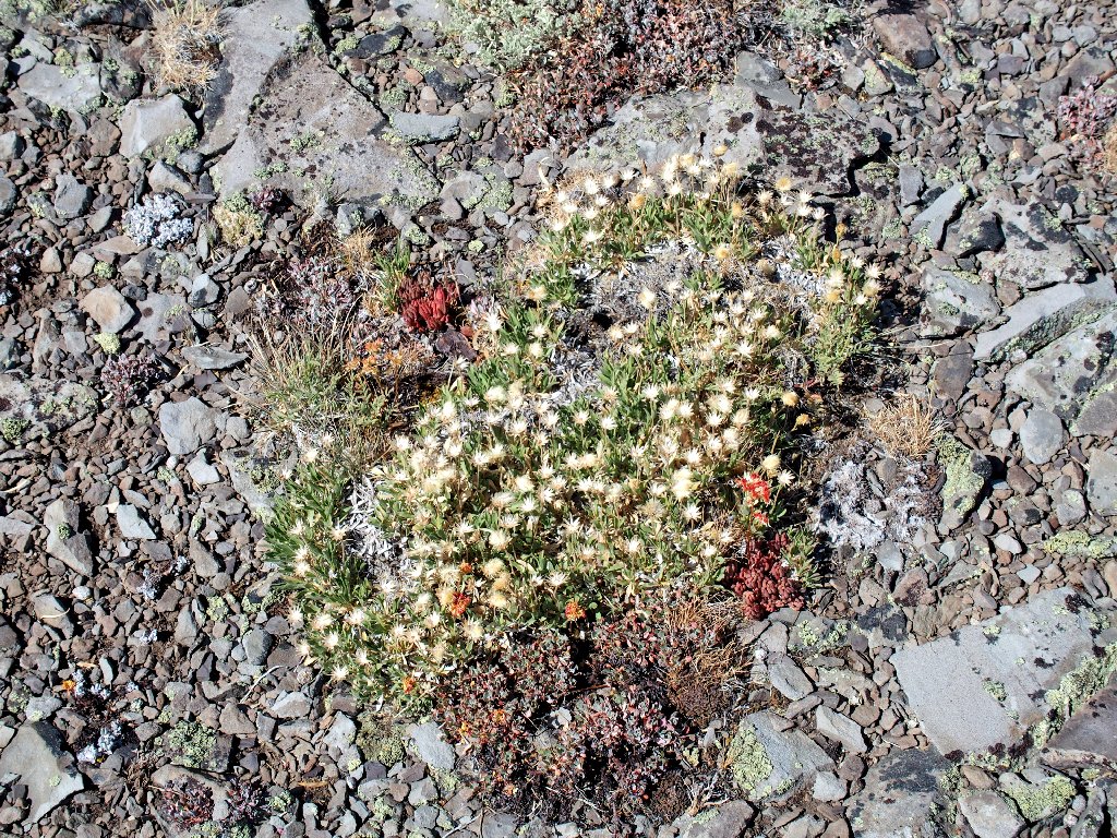
The remains of Ted's Garden #4
There is one variety present, however, that saves the day.
Buckwheat to the rescue, as is so often the case
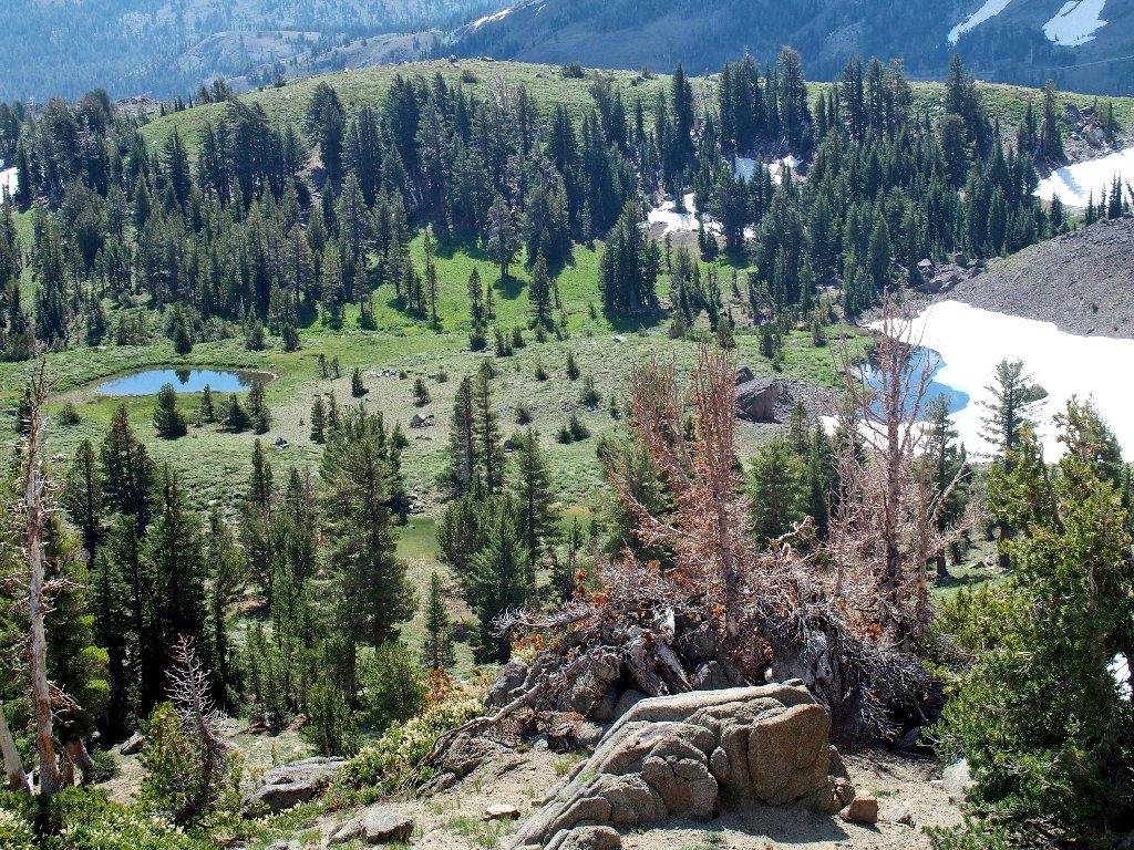
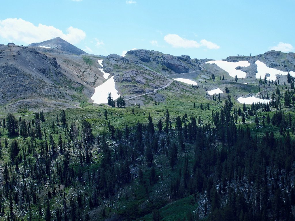
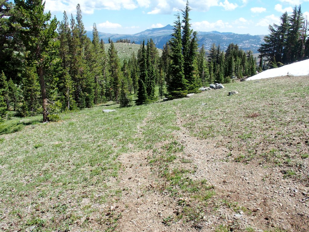
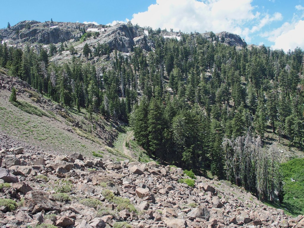
The Pacific Crest Trail crosses through here, heading south around the west side of Elephants Back. Because I never have explored back here, that is today's plan; I don't feel the need to use a trail, however; so I start down the slope without one, bypassing a big snowdrift in the process.
Looking south toward Ebbetts Pass
I really need to try my newly acquired "de-haze" software on this scene later.
A greener view
Maybe there are some flowers down there
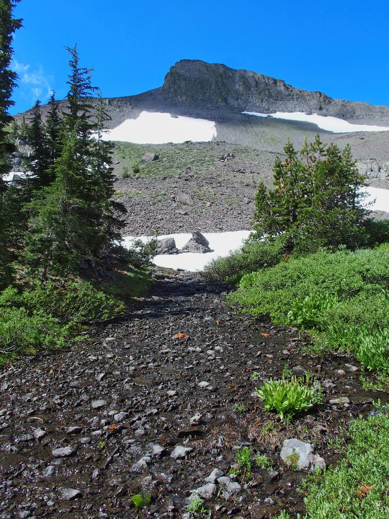
That wasn't hard
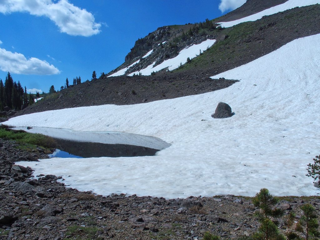
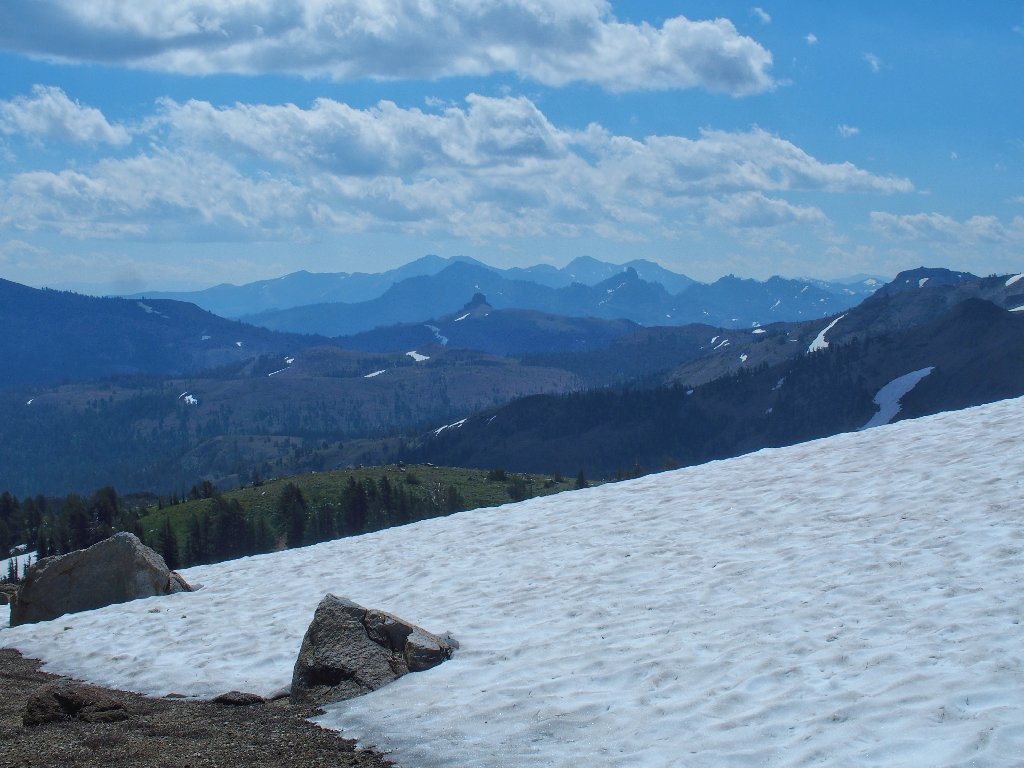
Winter conditions persist
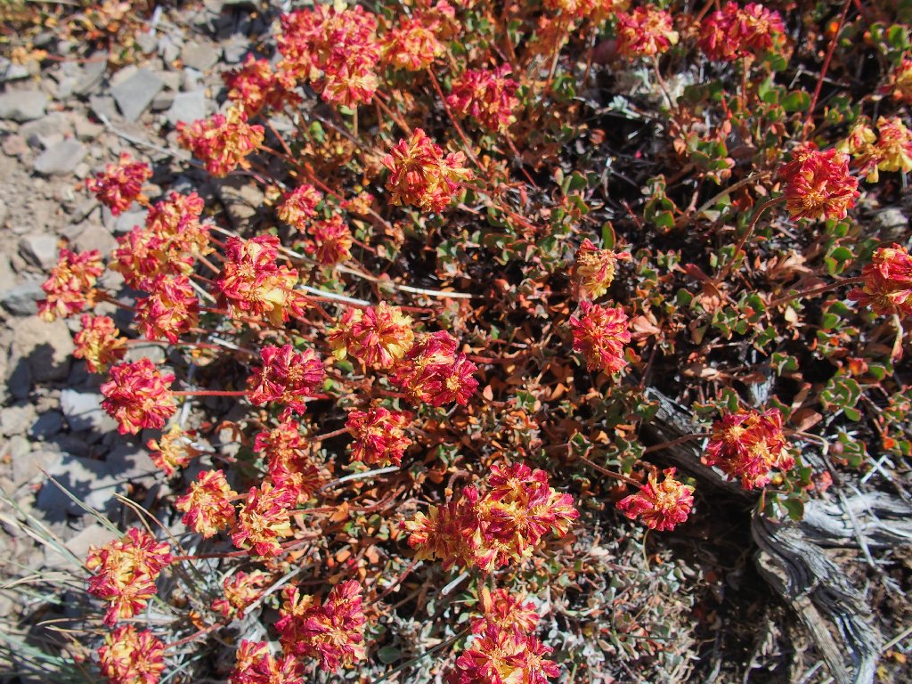
Yes, there are some flowers down here.
Buckwheat garden
Hawkins Peak to the east
Elephants Back from the east side
I must keep going to see what lies ahead.
This is fun
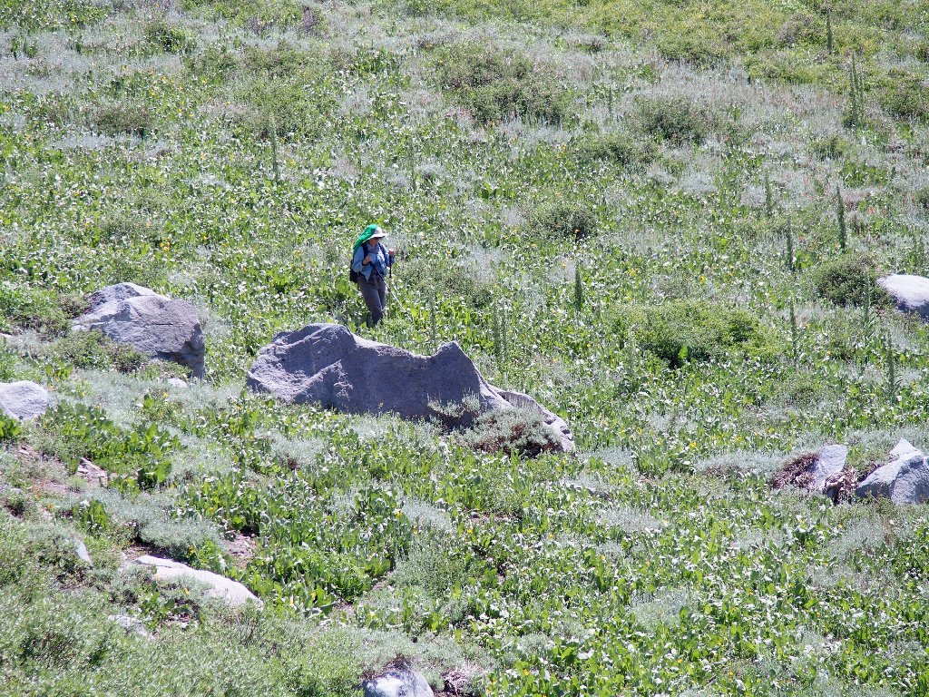
Whoa! As I clear the trees, I see a big snow bank on the hillside; and right in the middle of it is a photogenic hiker on the PCT! What a stroke of luck.
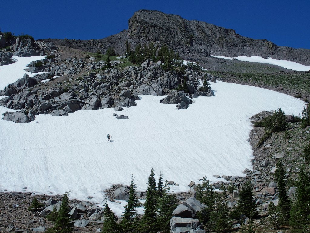
What were the odds of getting this shot without waiting around for it?
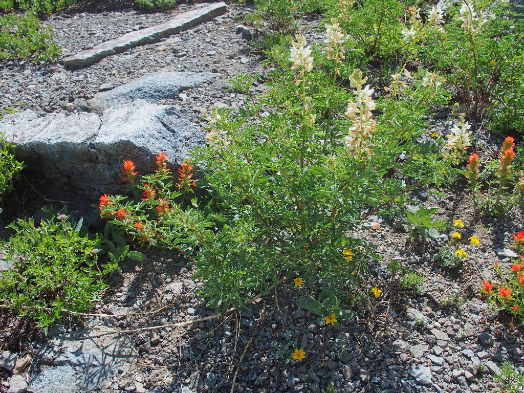
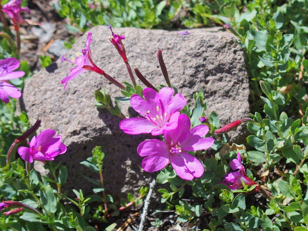
Red paintbrush and white lupine
Alpine Knotweed
Aha! Here is the Pacific Crest Trail. While it meanders eastward, however, I continue south, straight down the slope.
Crossing the PCT
Still hoping to get a better view
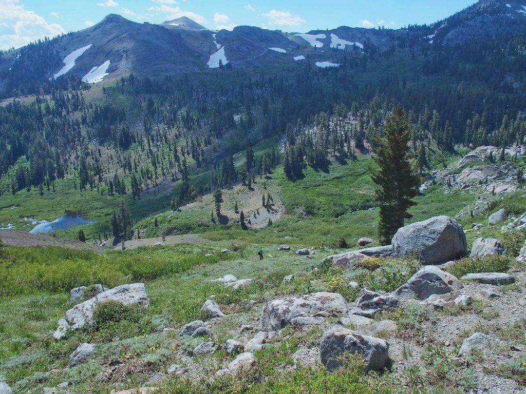
Below me is another PCT hiker. I call out once as a greeting, but to no avail.
She never does see me

I finally do get the view I was hoping for
There she goes, and I have descended as far as I care to
Across the way is Forestdale Divide Road. On older maps it shows as
Blue Lakes Road; but there is another, paved access to that area now.
I drove that road a few years ago with a bad radiator, and survived.
In fact, I ended up doing an 8-mile hike later that same day over near
Bridgeport.
The road is blocked by snow at the top, where a pickup is parked
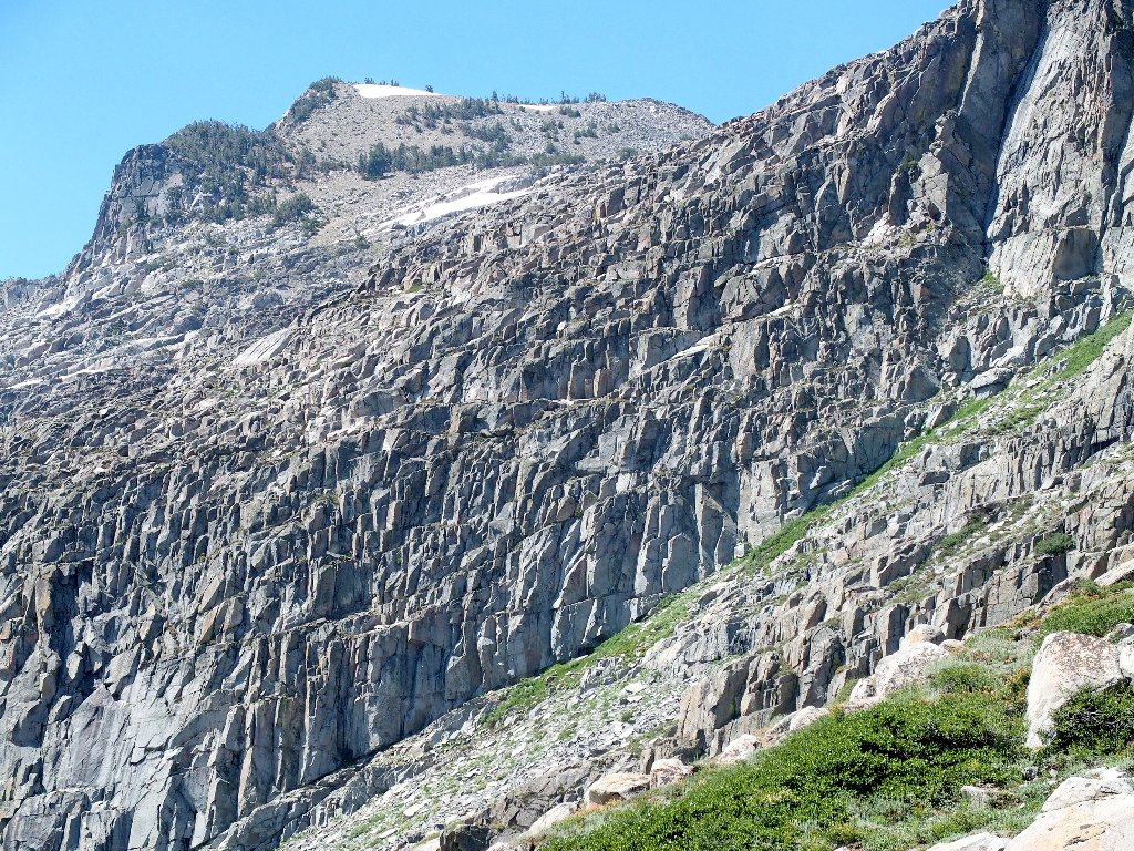
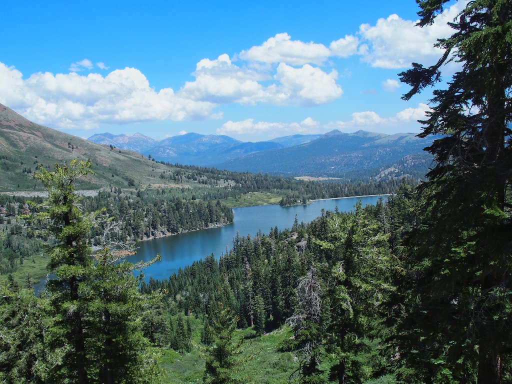
To my right is a giant rock wall. Behind it is Winnemucca Lake, one of my favorite places. I had thought to try to access it from this side sometime, but not today. I don't have the energy.
That rock formation merits a closer look
60 years ago, I would have rushed over there and climbed
that thing just for sport
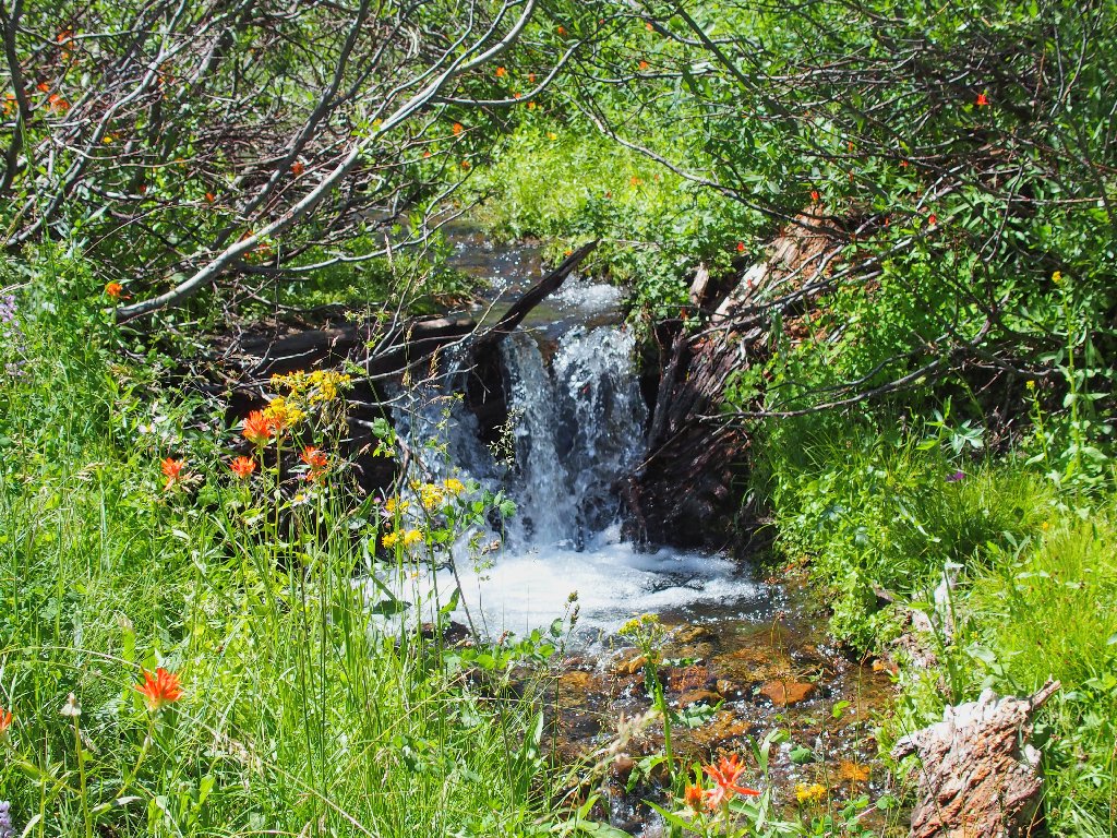
I believe that I will try to get over to the trail as I head back. Doing that takes a while; for the passage is blocked by a stream, willows, and lots of flowers.
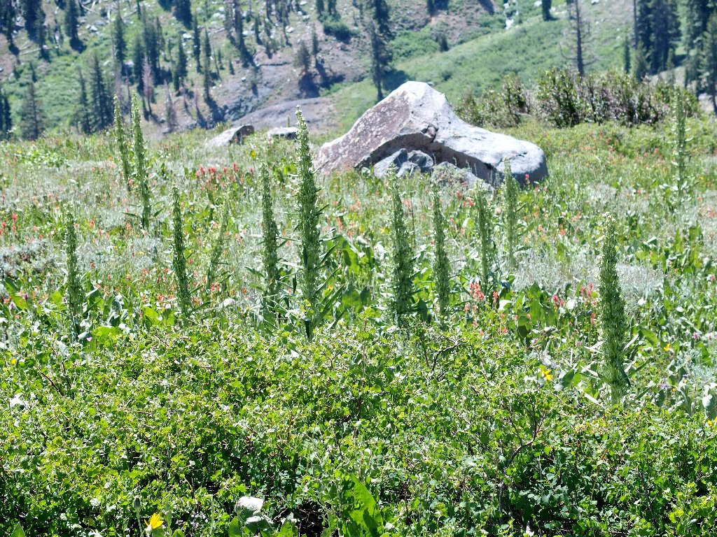
Mullein
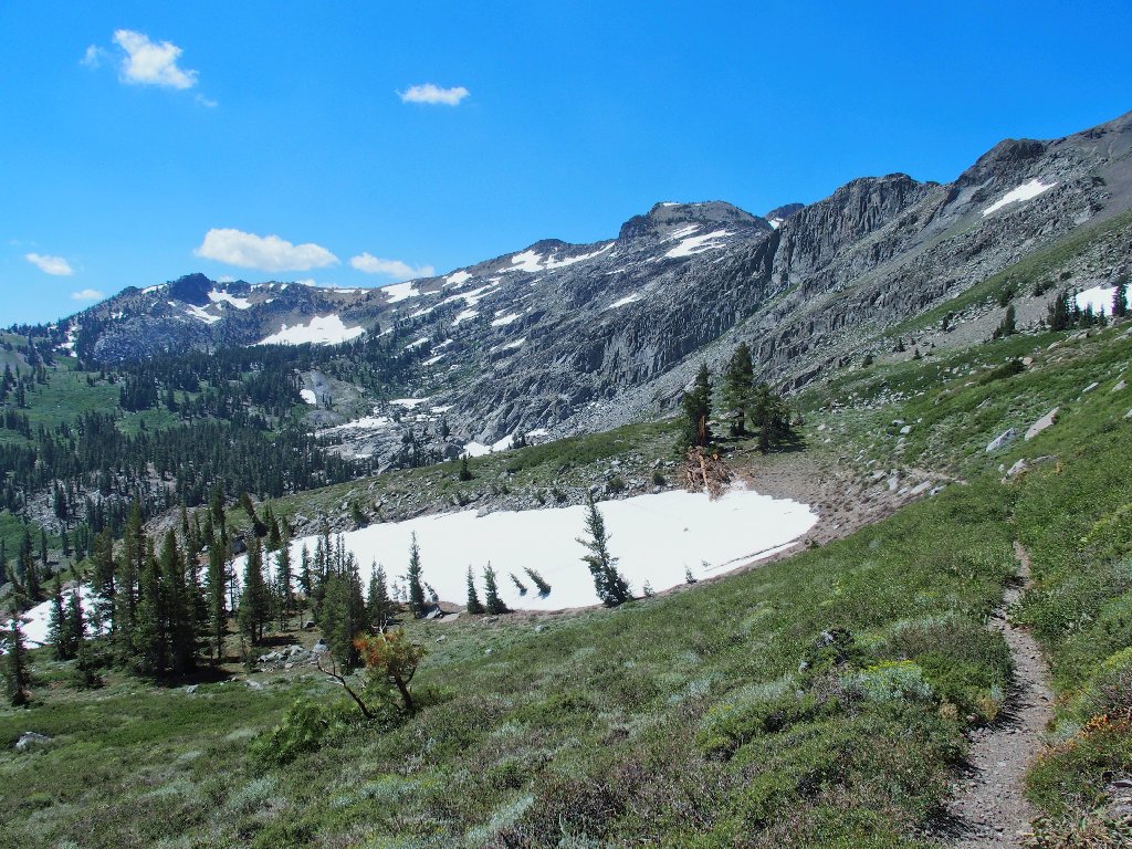
There's the PCT
That place merits further exploration
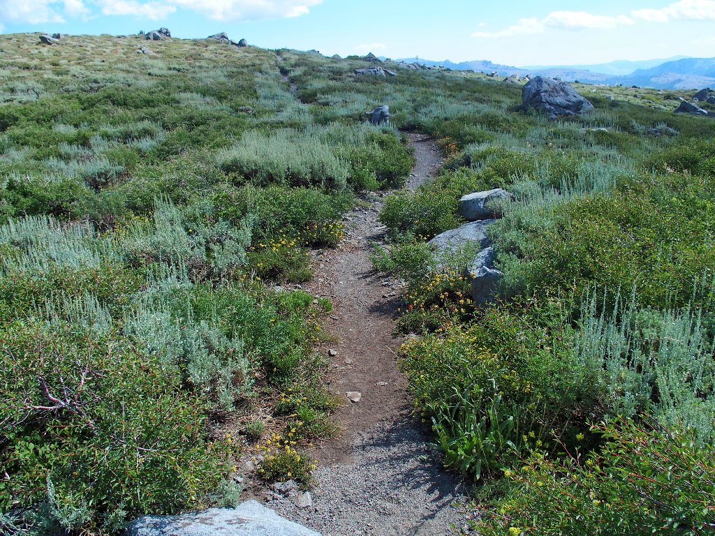
Once on the trail, the going is much easier, of course.
I was over there somewhere, not long ago
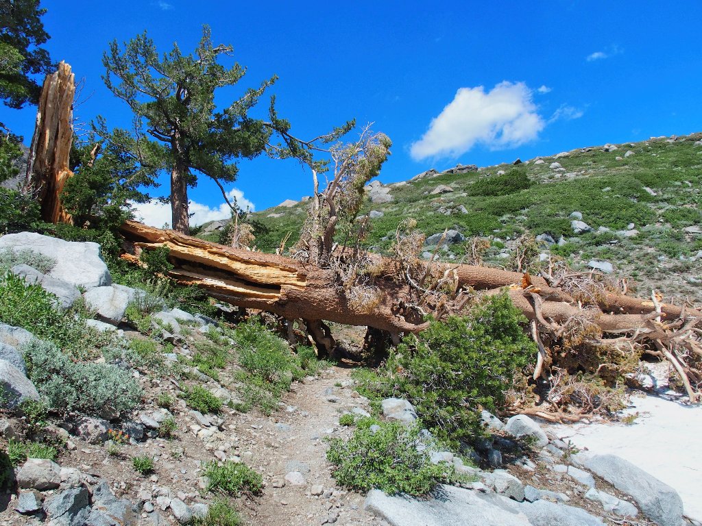
This looks like a recent falling
I'll be back
I'll return to do Hawkins Peak as well
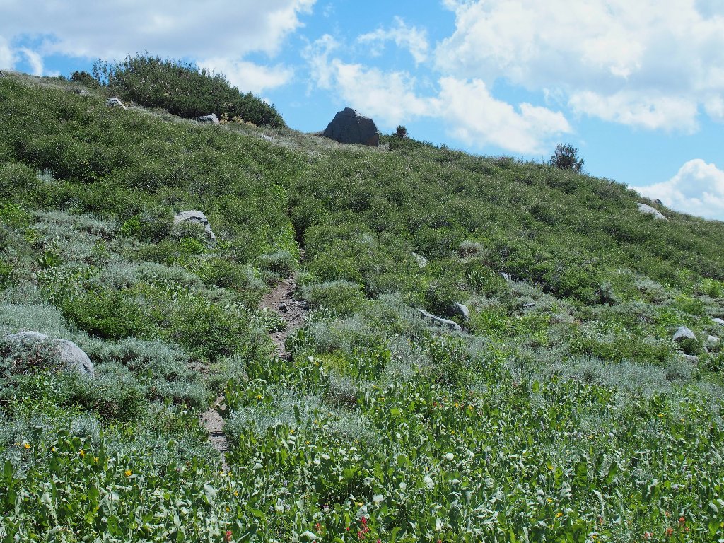
After less than half a mile on the trail, I must leave it again in order to continue northward on this loop trip.
Back in the bushes
Following the path of least resistance takes me downhill, of course.
There's an old road here!
At a little creek, the road peters out. Soon I find myself plunging down a dirt slope, where I manage to fall down and scrape some skin off my right arm.
The going had been too easy
I expect to connect eventually with the road on which I started this hike. To that end, I try to keep my elevation up, having no desire to detour all the way down to Red Lake. Doing so necessitates some traversing across steep slopes, which is hard on the feet.
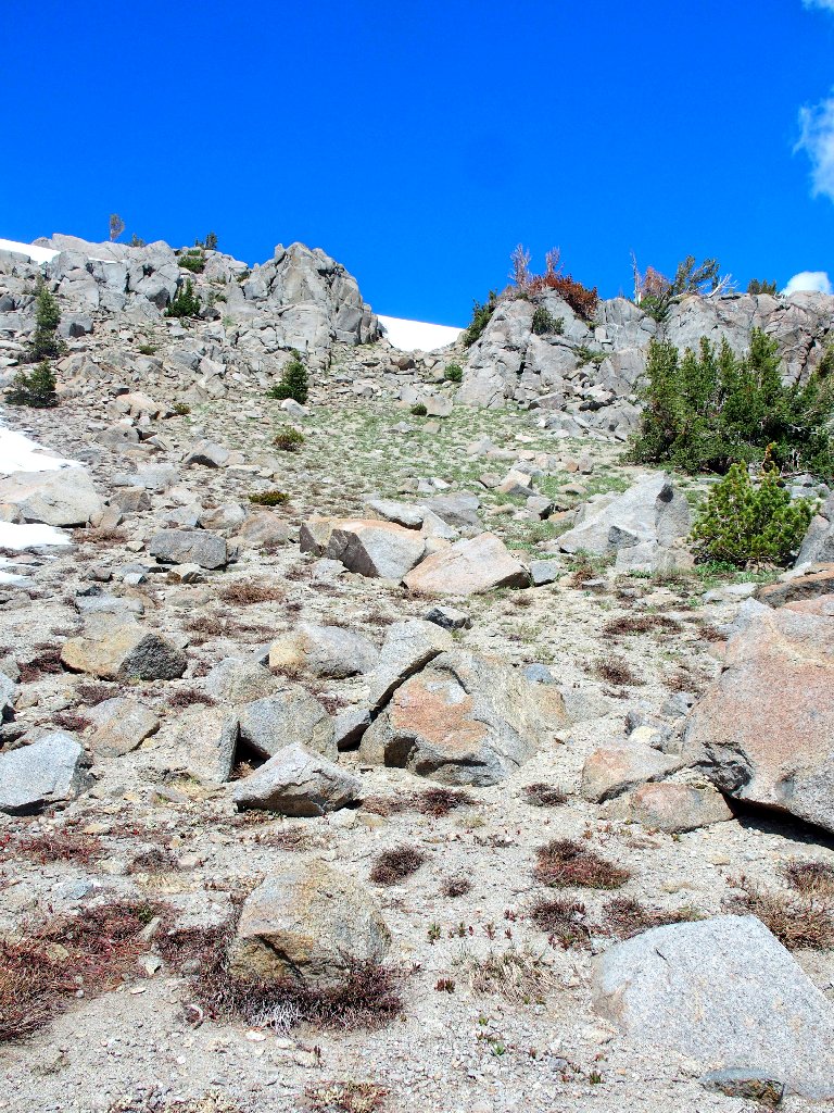
Then I encounter a talus jumble that must be crossed, to this unenviable position. Ahead is the former Carson Pass Highway, which I drove as a teenager. I am wishing now that I had tried to stay on that old road.
There's my trail, way down there
I make a big mistake here. Rather than angling
over to the trail, I opt to continue straight down the talus
jumble thinking that the shorter route would be easier.
What ensues is a harrowing slip-and-slide down
the extra-steep embankment, where rock handholds
have a tendency to slide downward when I grab them.
Being mildly concerned for my safety, with visions of sliding down the hill along with the boulders, I manage to get to the bottom unscathed. I did leave some blood on the rocks, though, from my injured arm.
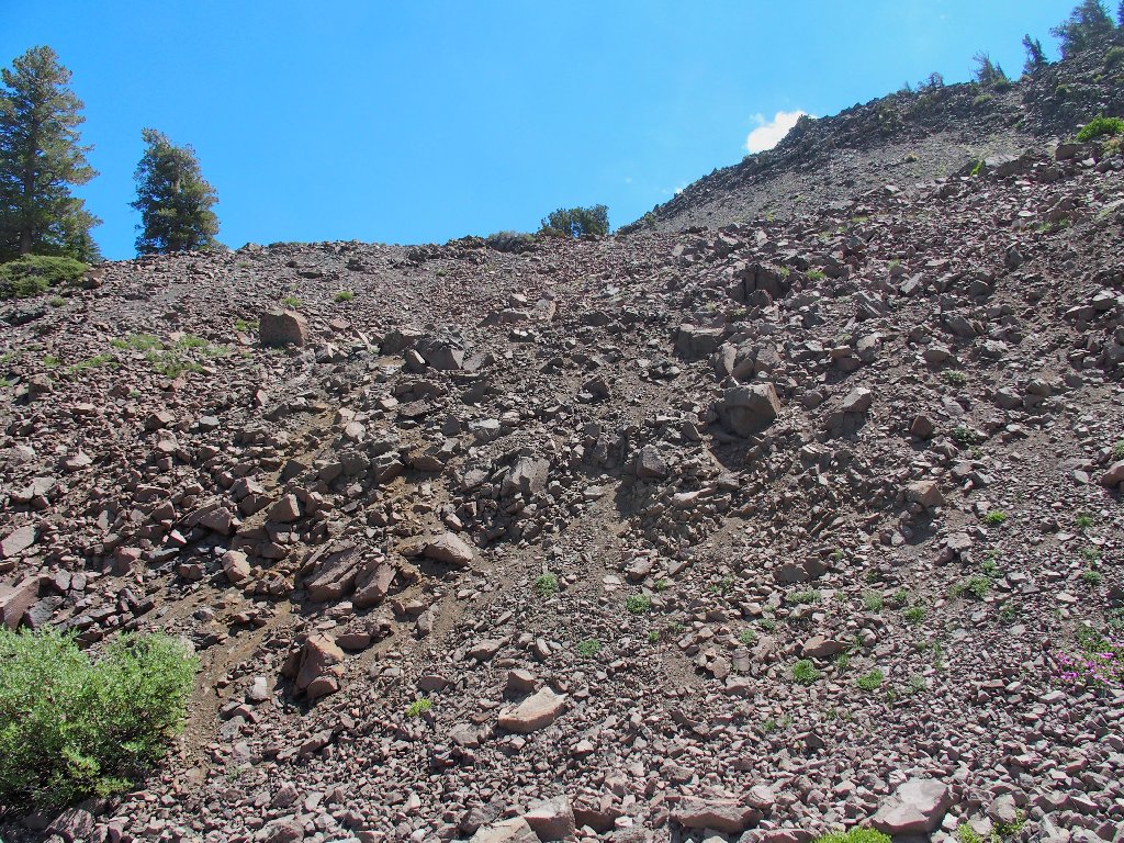
My worst scramble ever
From here I must climb back another 300 feet, but it is a relative cakewalk.
Red Lake and Red Lake Peak
Mulberry
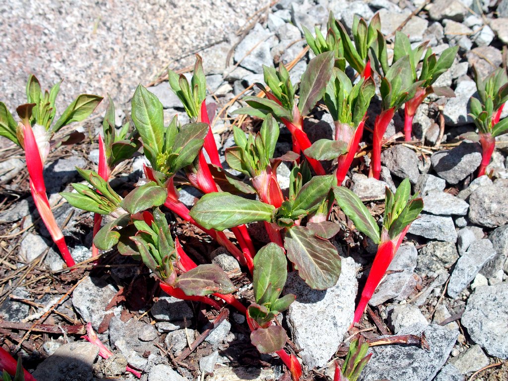
Rock Fringe
Red Lake is a better color from this angle
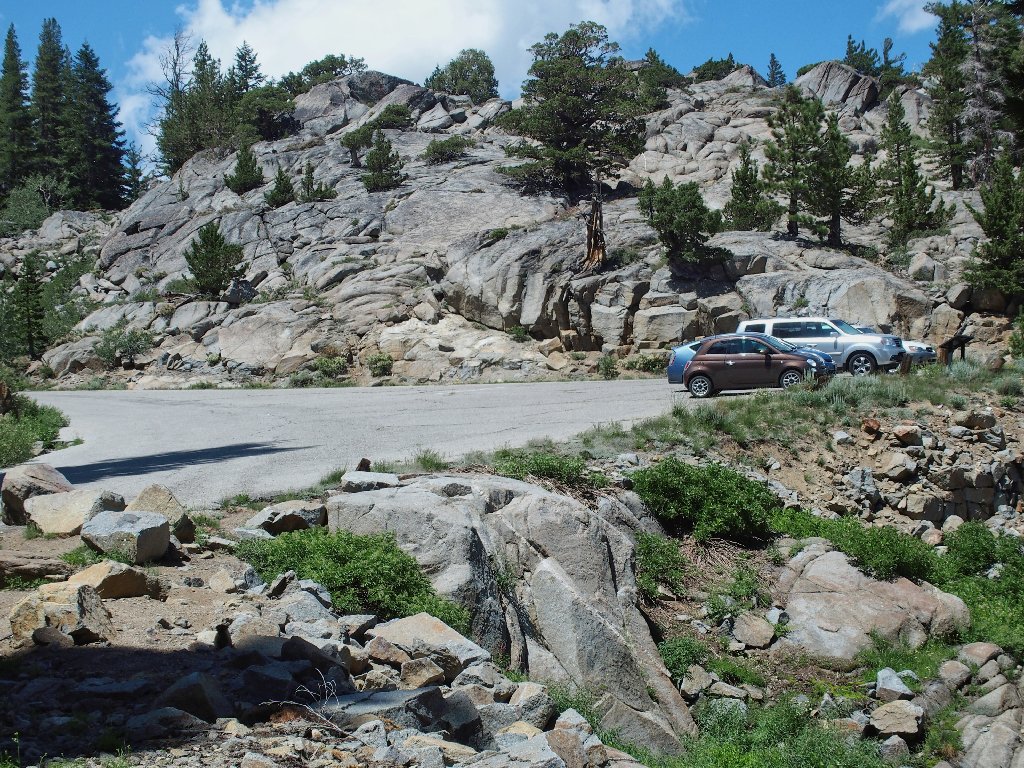
This is not my parking lot
Posted here is another great mural detailing the history of the area. It was beautifully drawn by the same artist that created the Kit Carson Memorial that is located where this road meets the highway.
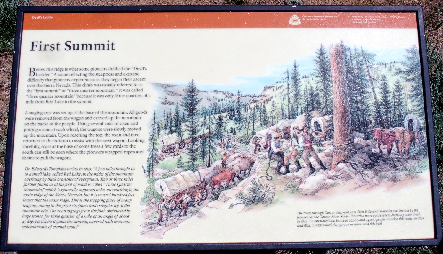
I should have published a photo of this years ago ⇔
§: Well, I was looking for an easy day, but I got a
Ted-Day instead. In retrospect, I could have avoided
the horrid boulder-hopping and my injury as well by just
staying on the road; but that would have entailed another mile
of walking and another 500 feet of climbing.
| Scenery |  |
| Difficulty |  |
| Solitude |  |
| Adventure | |
| Danger | |