Yosemite National Park
|
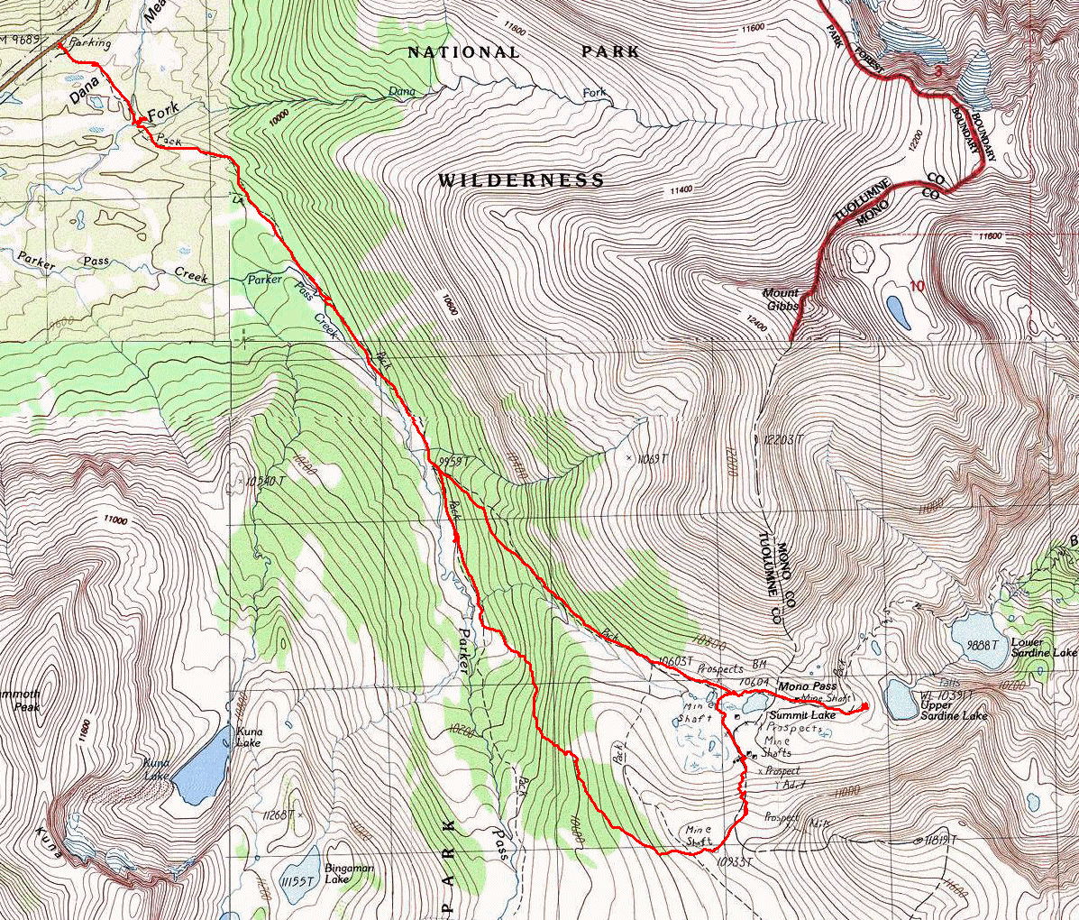
Mono Pass Yosemite National Park |
August 1, 2017
The drive up here from Sacramento is dispatched in just four and a half hours. I am on the trail before ten o'clock. Because there isn't a cloud in the sky, I won't pack a shirt or windbreaker; and because I recall that this trail is particularly friendly, I won't bother with a walking stick either.
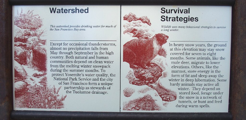
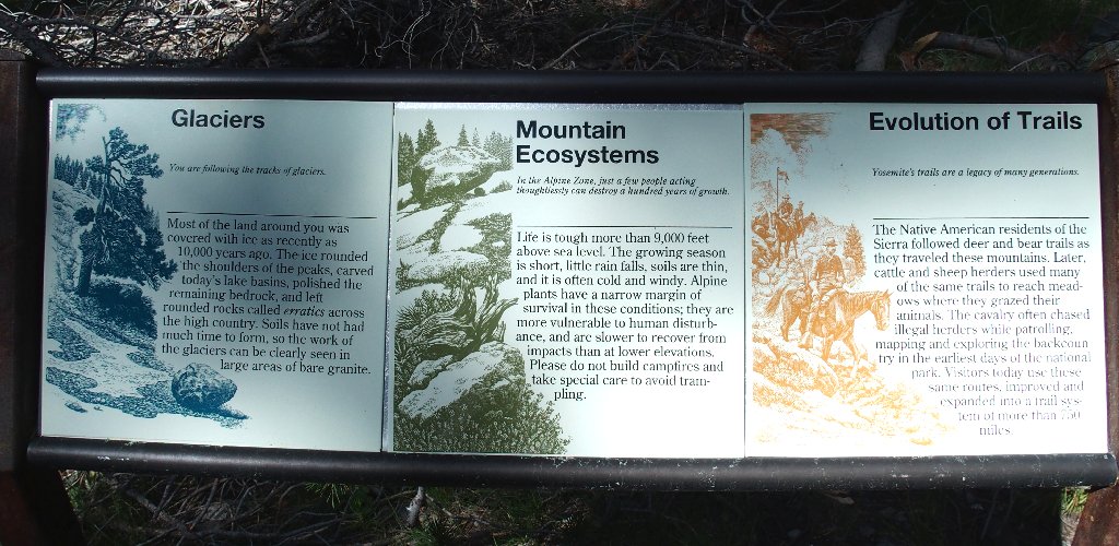
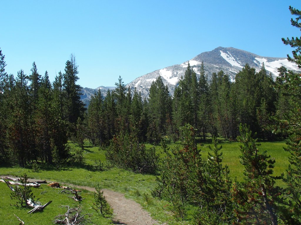
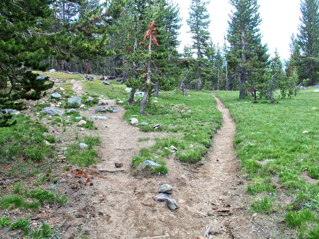
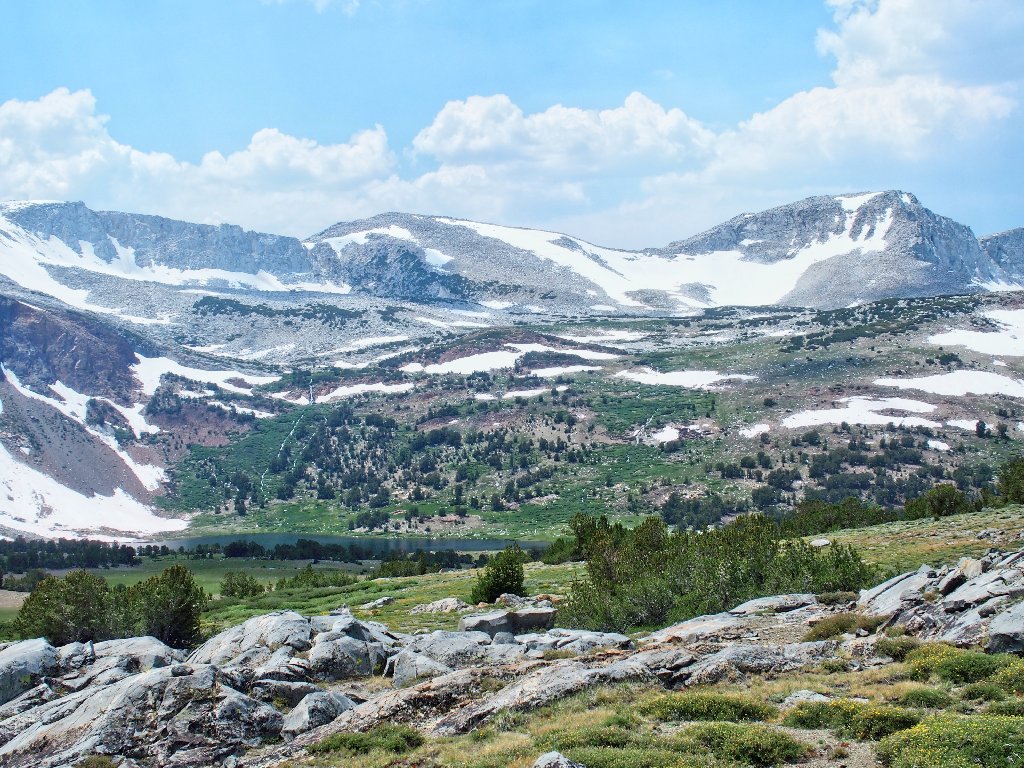
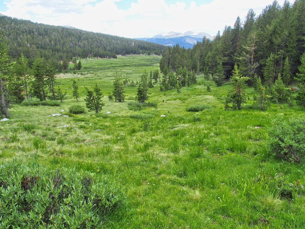
Trailhead signs introduce visitors to the Tuolumne Meadows
I haven't yet decided which pass(es) to visit
Twice I have been down the first portion of this trail; the rest will be new territory.
Mammoth Peak, 12106'
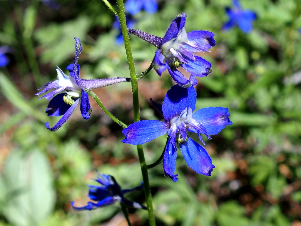
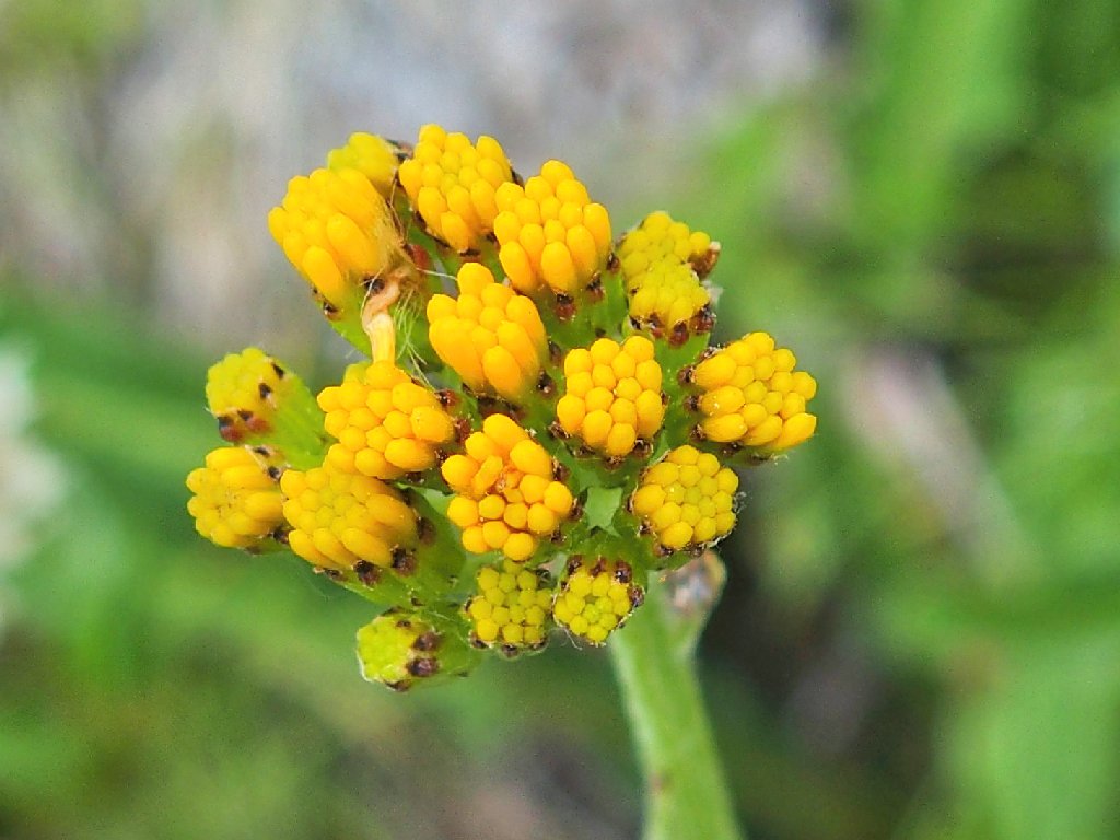
Meadow Larkspur
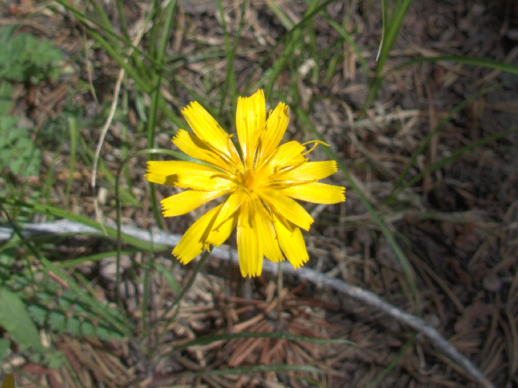
Subalpine Hawkweed
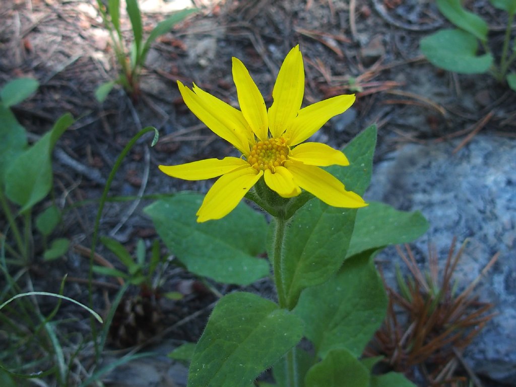
Heartleaf Arnica
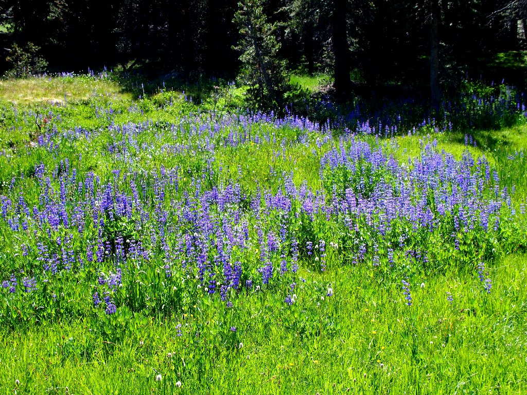
Silver Bush Lupine
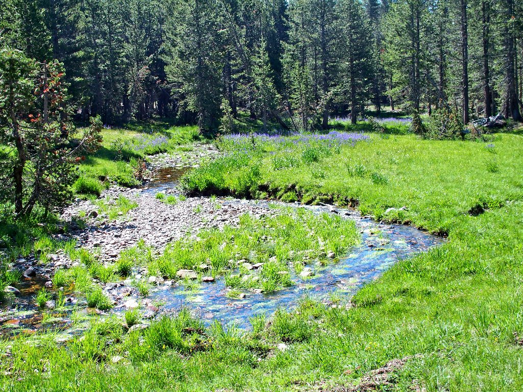
About fifteen minutes into the walk is my first challenge. There being no place to ford the creek without getting wet, I can only doff my boots and socks and traipse through the cold water barefoot. Having no walking stick, I must grab a broken branch to assist me; and having no extra shirt either, there is nothing with which to dry my feet. I am feeling like a novice hiker at the moment.
Dana Fork Tuolumne River
Oddly enough, I never have done that previously; somehow, there always has been a friendly log or some big rocks to enable a dry crossing.
Mammoth Peak
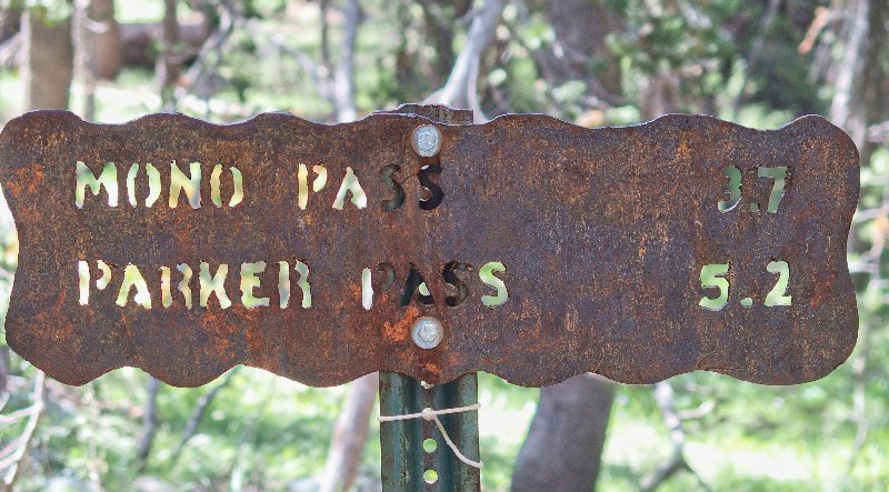
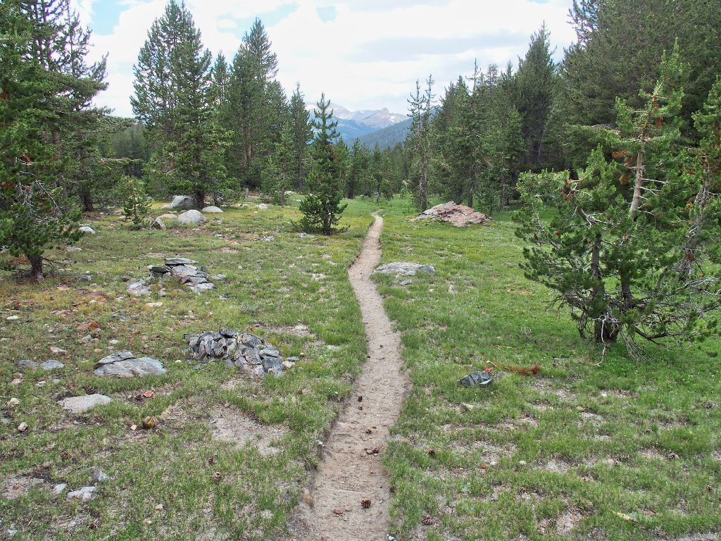
About three miles down the peaceful but relatively mundane trail is a junction.
My new route starts here
I find it odd that the Mono Pass Trail to the left is signed,
while the right-hand spur over to Spillway Lake is not.
That gorgeous setting deserves some recognition.
Kuna Crest North, 12170'
Mount Lewis, 12324'
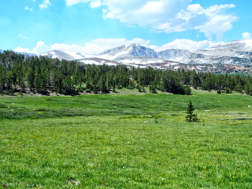
It is less than two miles farther to the pass:
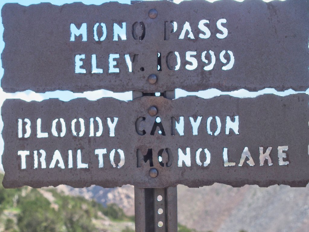
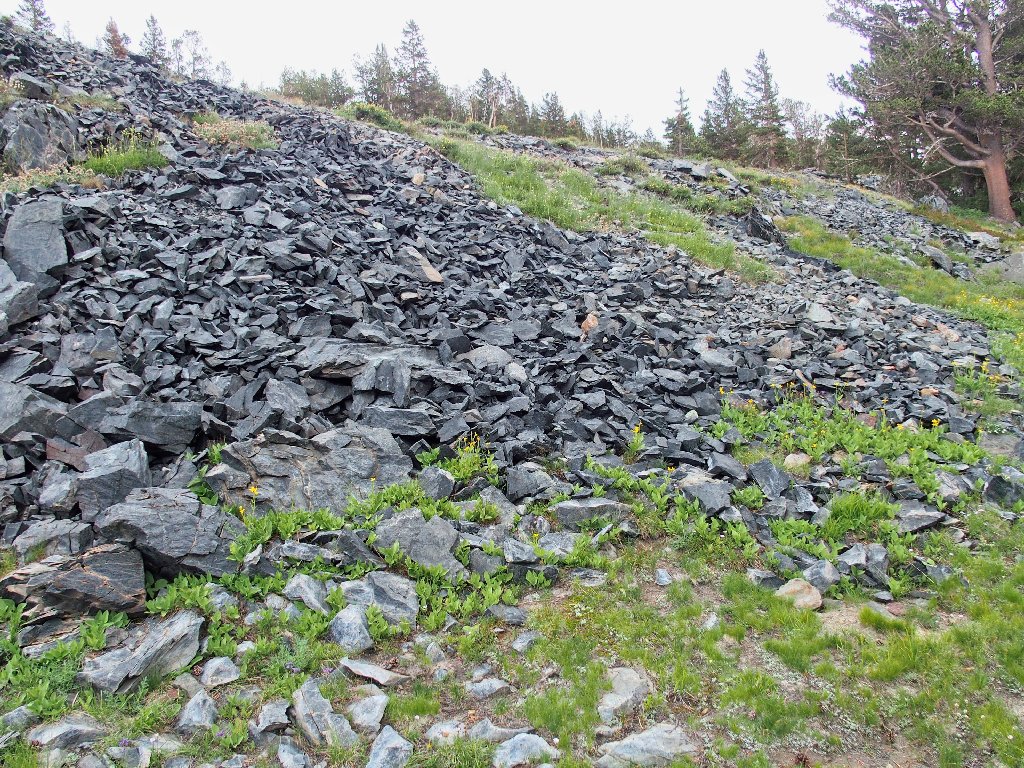
At the peak of the mining days, there were 350 mining locations in the Tioga area, including here in Bloody Canyon. Until the Tioga road was built in 1833, Bennettville and other Tioga mines were supplied by Mexican packers, first by the route up Bloody Canyon and later up Lundy Canyon.
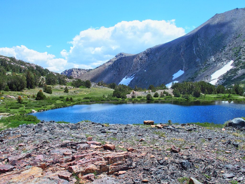
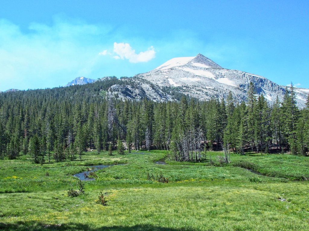
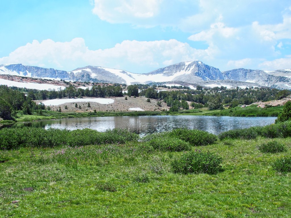
Summit Lake
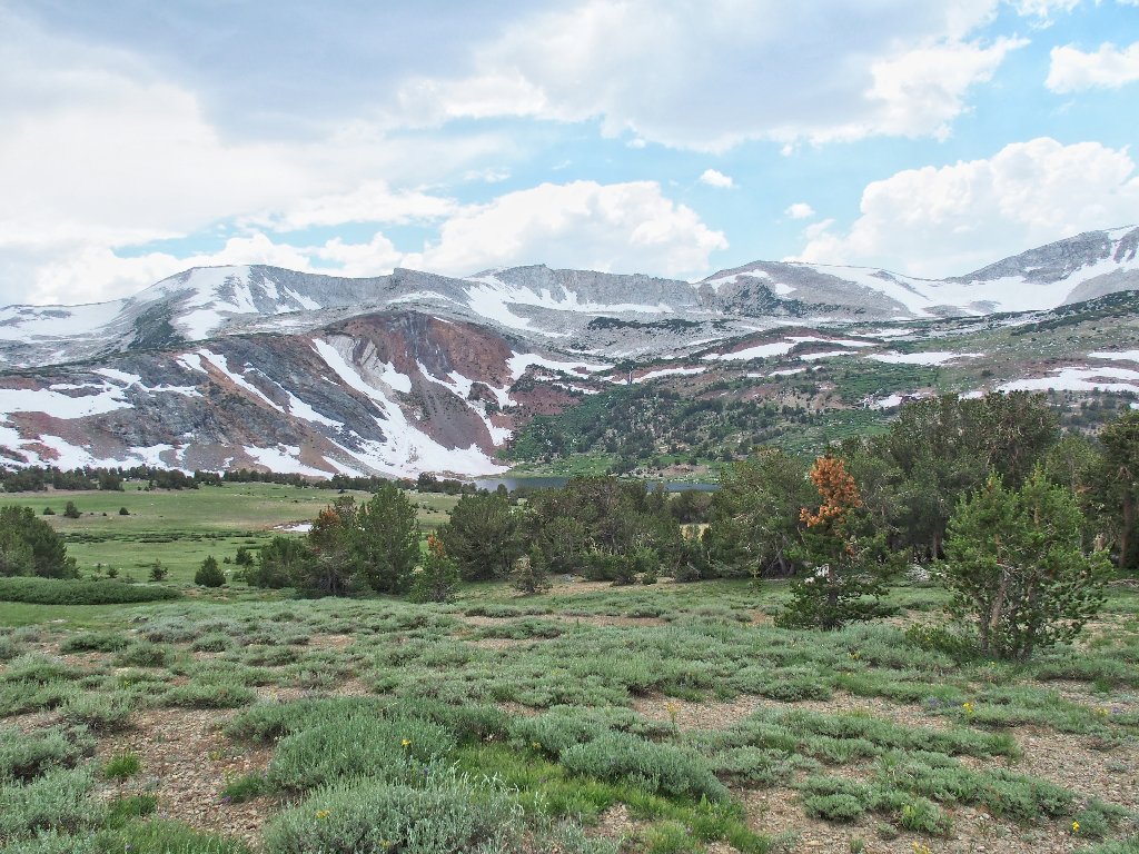
Knowing that a special view awaits me, I must continue eastward until it appears. As this pass serves as both a county line and the Yosemite Park boundary, I will briefly exit the park into the Ansel Adams Wilderness.
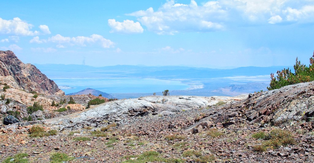
Mono Lake is more than 4,000 feet below
Upper Sardine Lake
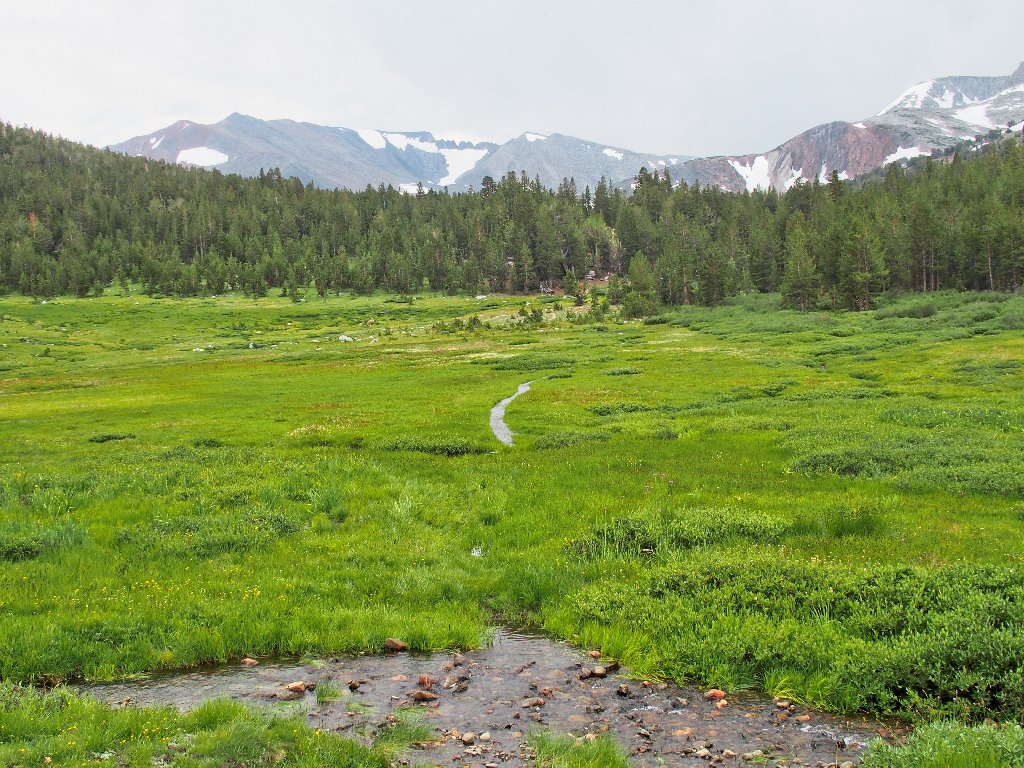
There are several ponds
The upper end of Bloody Canyon
Some feel the the canyon was named after the colorful rocks; others believe that it was derived from the fact that pack horses' legs were routinely lacerated by rocks on the rough trail.
Back to Summit Lake
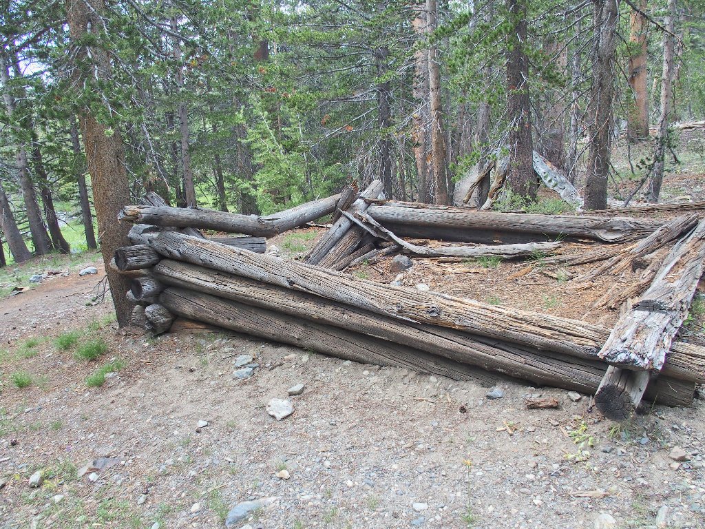
An unmarked trail leads southward an old mining site. As soon as I turn onto it, a hiker couple approaches, informing me that I will have the cabins to myself.
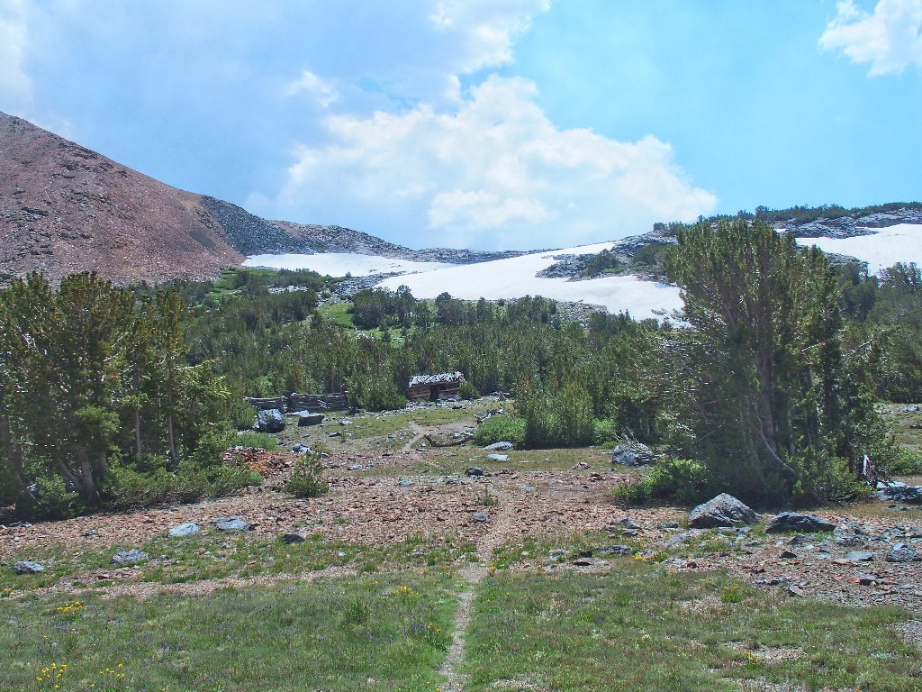
And there they are
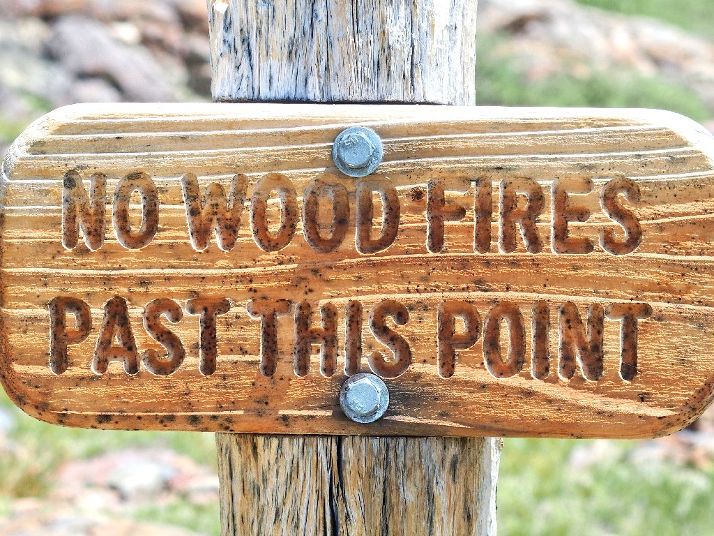
This sign is posted back at the highway trailhead:
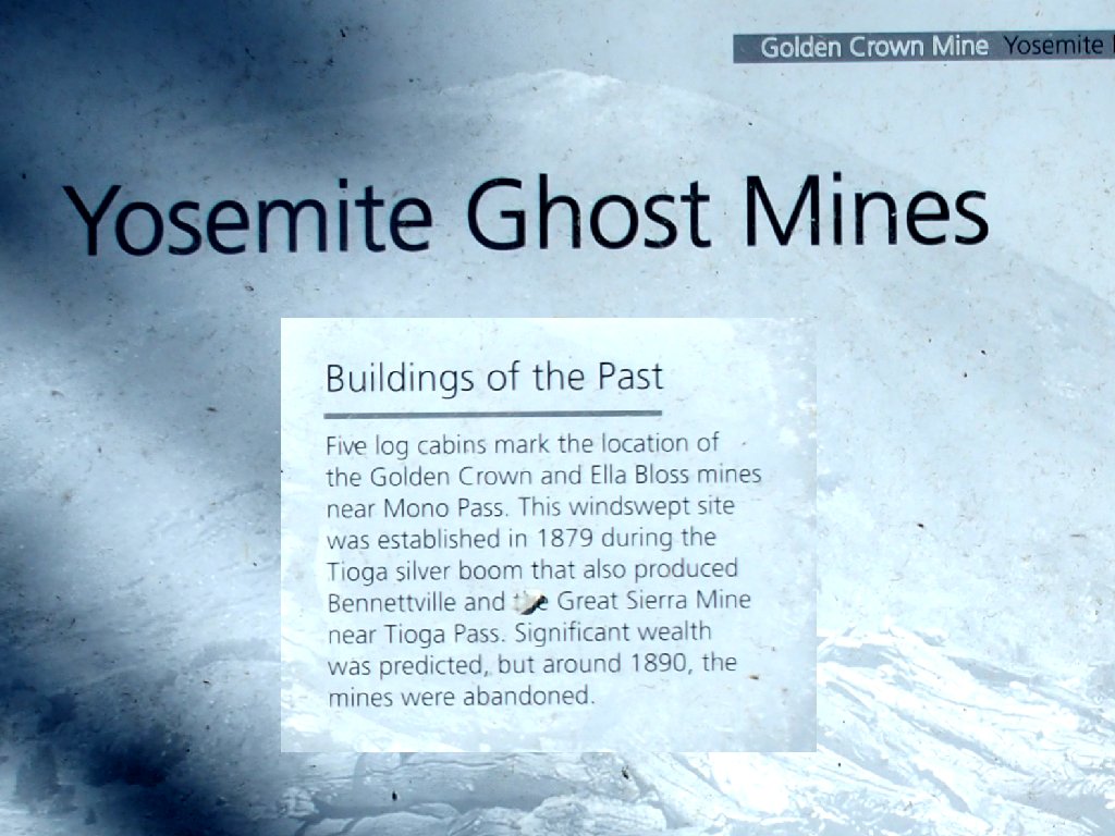
Actually, the historians believe that either these cabins were built to support the Golden Crown Mine and ended up belonging to the Ella Boss Mine, or there was a mixup in the paperwork.
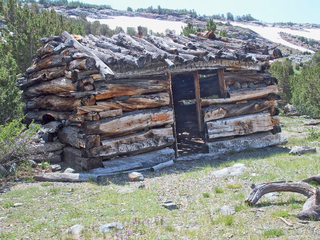
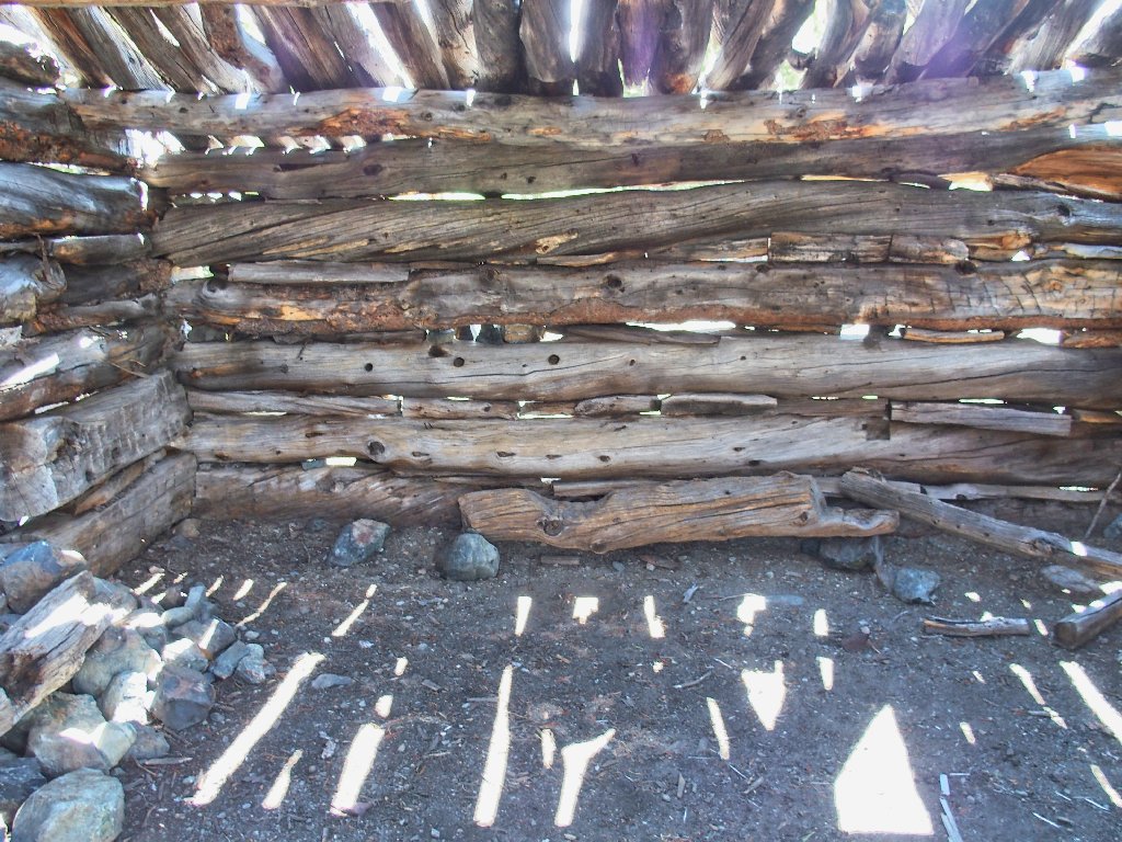
Just one cabin still has a roof on it
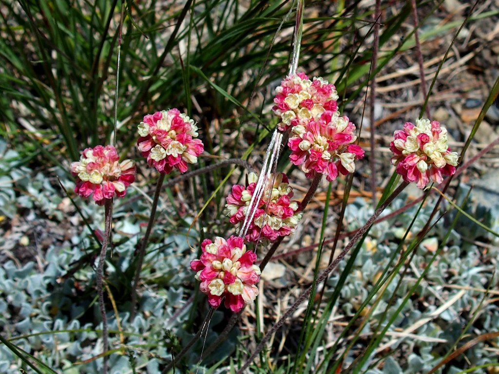
Alpine Oval-leaved Buckwheat
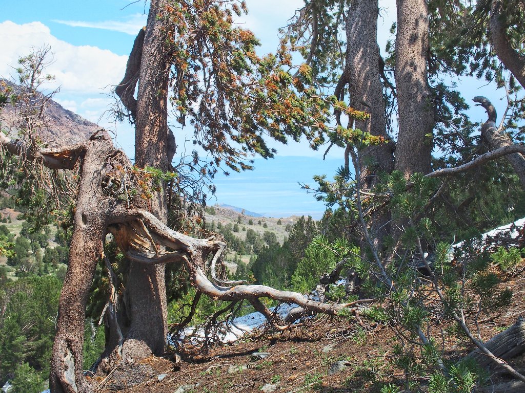
Behind the cabins is a 300-foot wall of rock. Getting
up it doesn't look too difficult, and I see a route that could
circumvent a couple of snowdrifts; so I might as well try it.
Starting up cross-country
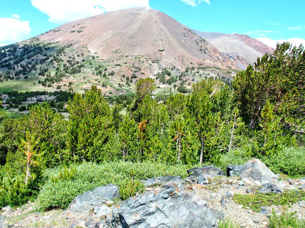
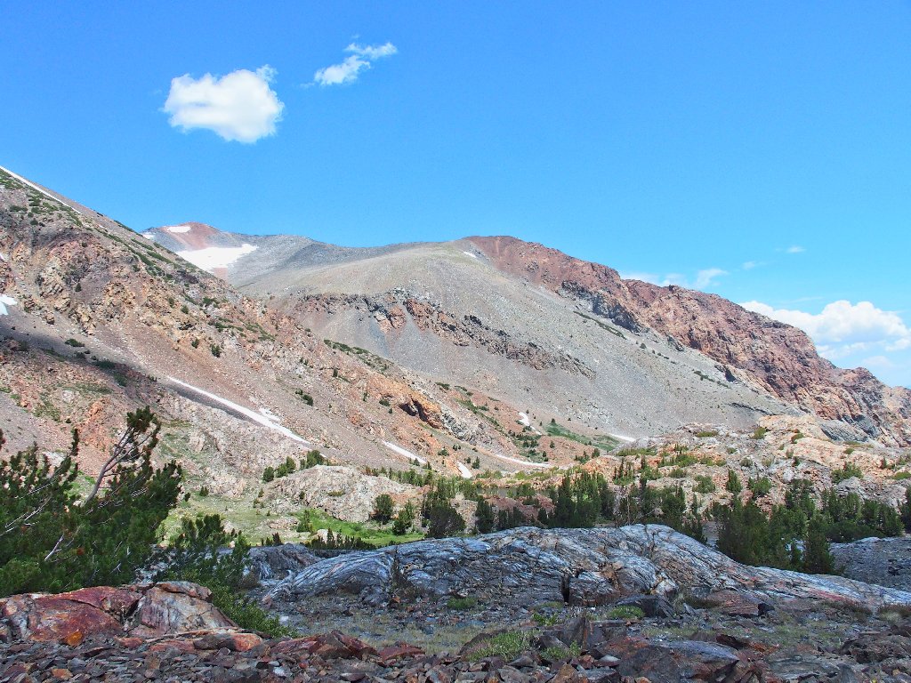
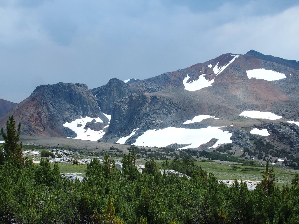
Mount Gibbs, 12772'
The snow banks are averted as planned, but there still is some work to do.
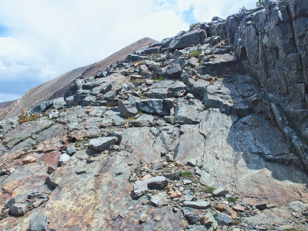
It's time for a little scramble
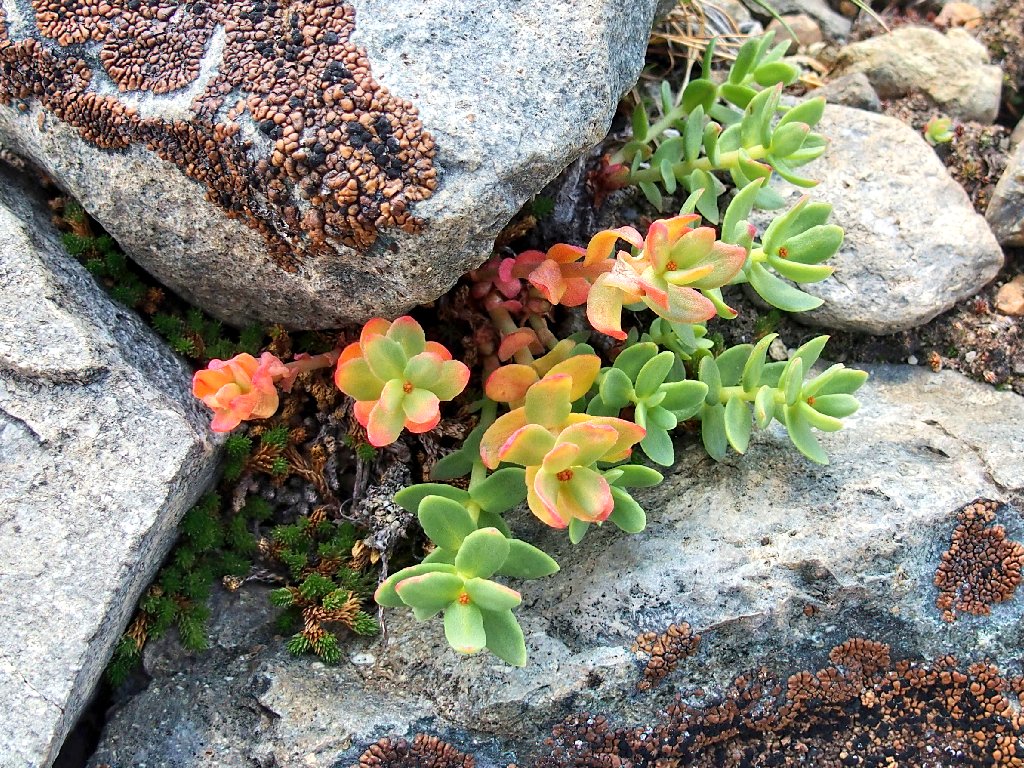
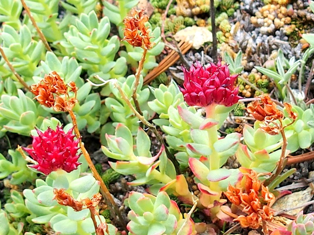
Ledge Stonecrop is a personal favorite
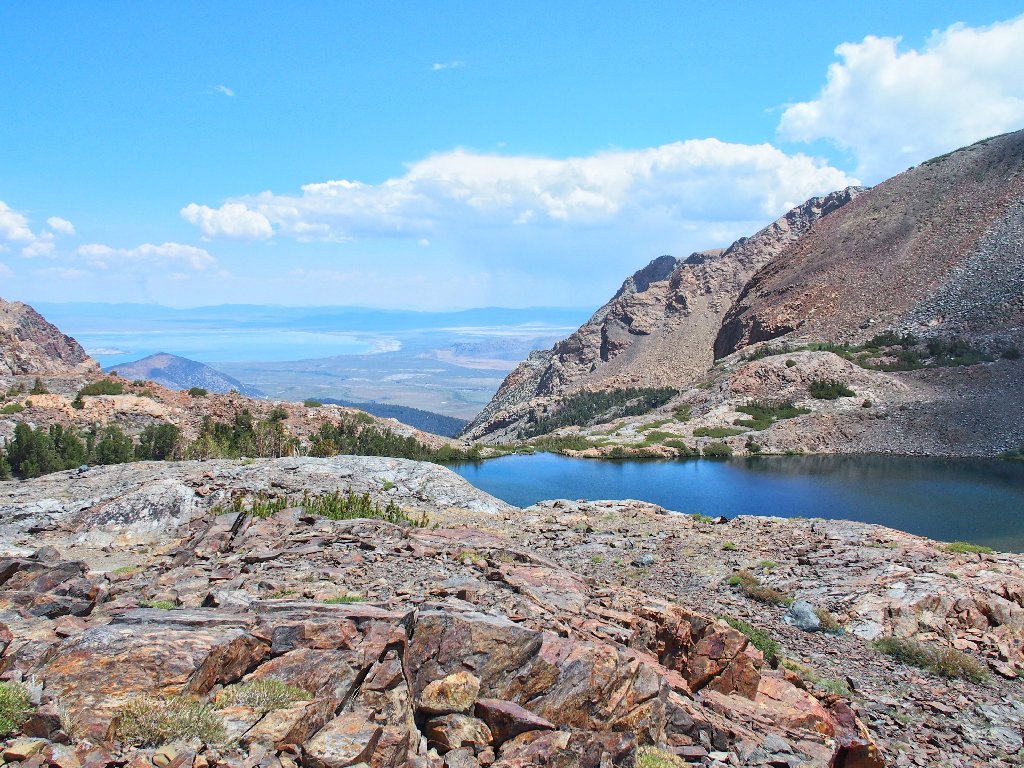
Atop the ridge, the views are phenomenal.
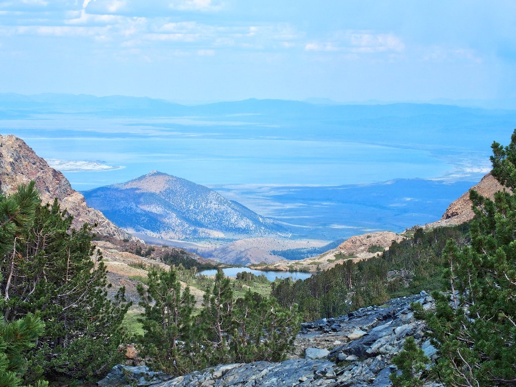
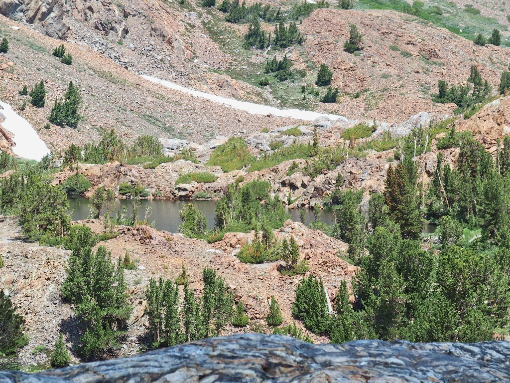
Nearby Upper Sardine Lake, and the distant Mono Basin
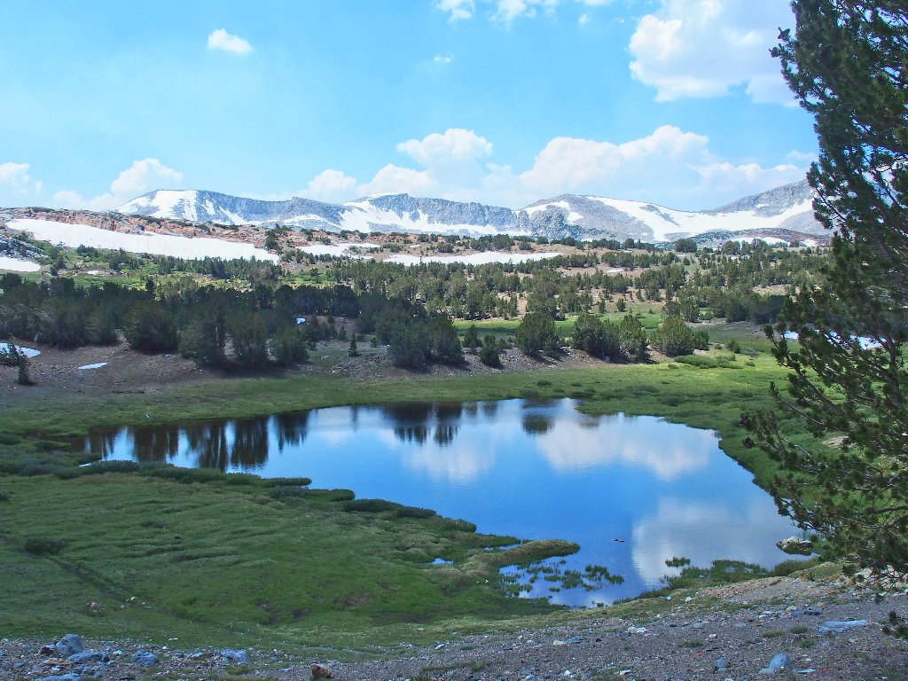
Parker Pass Lake is at the base of those cliffs
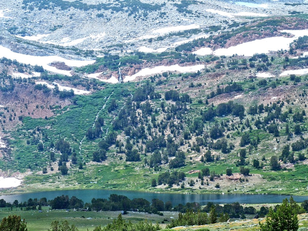
Spillway Lake lies at 10,400 feet
Telephoto view
I have unfinished business over there above that cascade.
Kuna Peak, 13008', is the park's third-highest
To the north are Mount Conness, North Peak, and
Shepherd Crest West & East
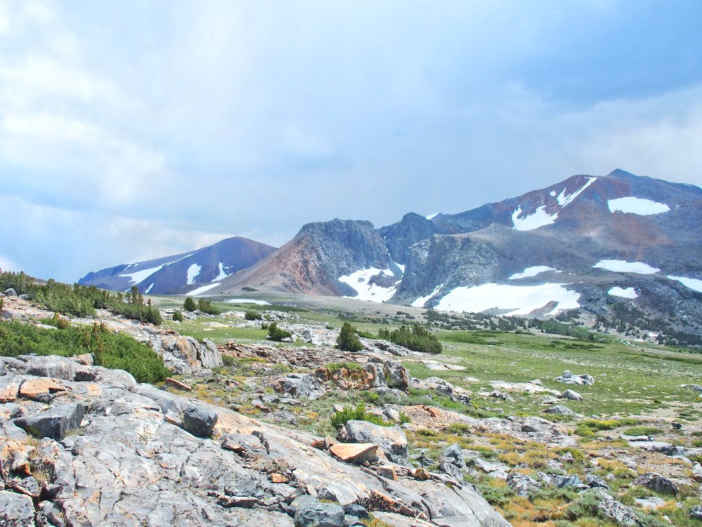
It is decision-time. I really would like to visit Parker
Pass and its namesake lake; but today's mileage is beginning to
add up, and the clouds are rolling in. Being particularly
unprepared for inclement weather, I elect to head back from here
and save the other good stuff for another day. Not wanting
just to retrace my steps, though, I might as well make a loop of
it by striking out cross-country toward Spillway Lake,
where there is another trail.
My off-trail venture begins in style
Spillway Lake & Kuna Crest
Not the type of cross-country I wanted
This is more like it
I am trying to stay above the meadow, expecting it to be quite wet down there; but eventually, hitting the green grasses seems like the thing to do.
Perhaps it won't be too wet down there
It's a good thing that I didn't head down sooner, however;
for I encounter quite enough boggy going as it is:
The path I have avoided is under water
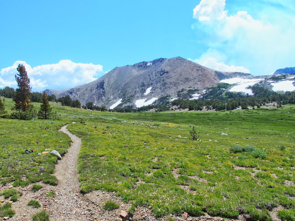
Back on the Parker Pass Trail
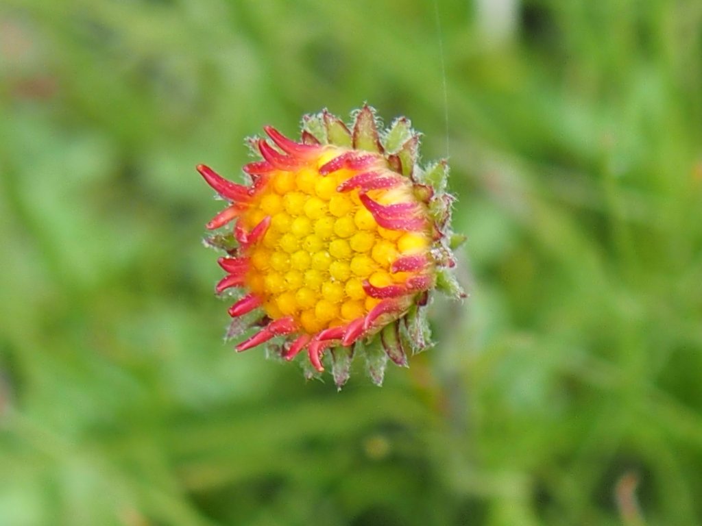
Tall Groundsel
Lemmon's Paintbrush
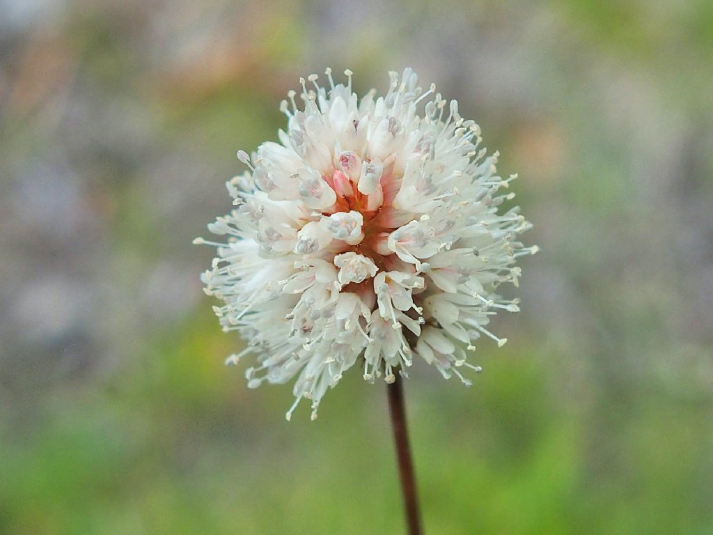
Alpine Bistort
Wandering Daisy
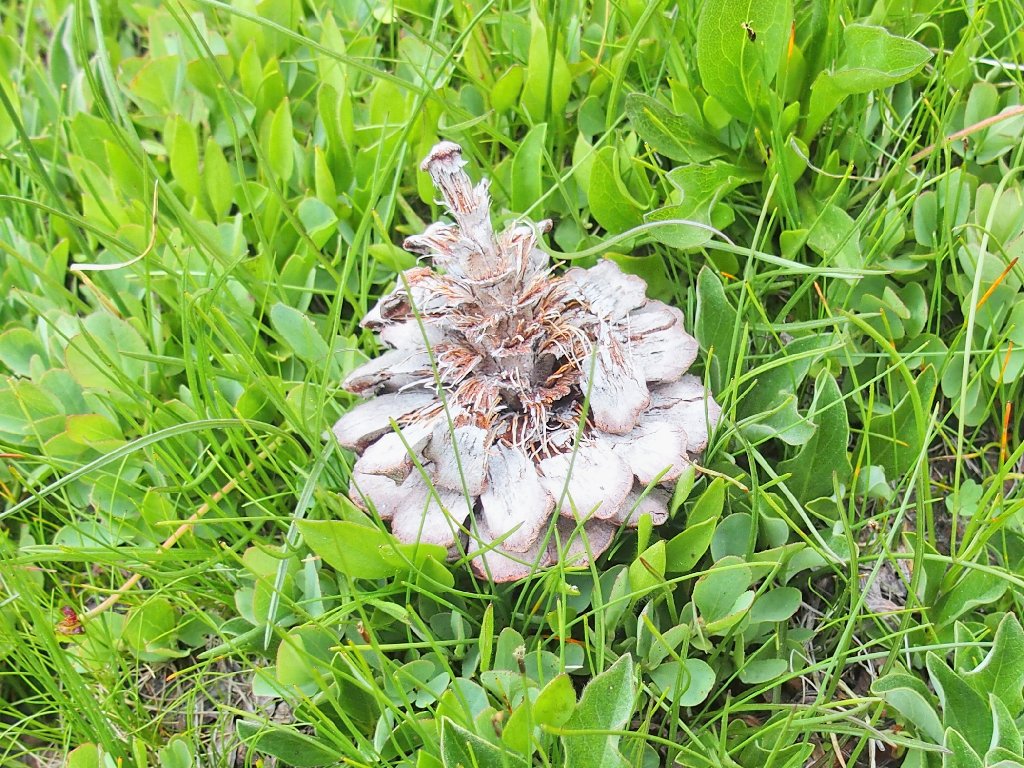
Even the fallen pine cones are pretty today
The lollipop loop is complete
From here it's just a matter of getting to the car before any sprinkling starts.
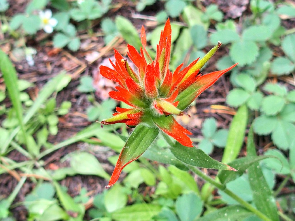
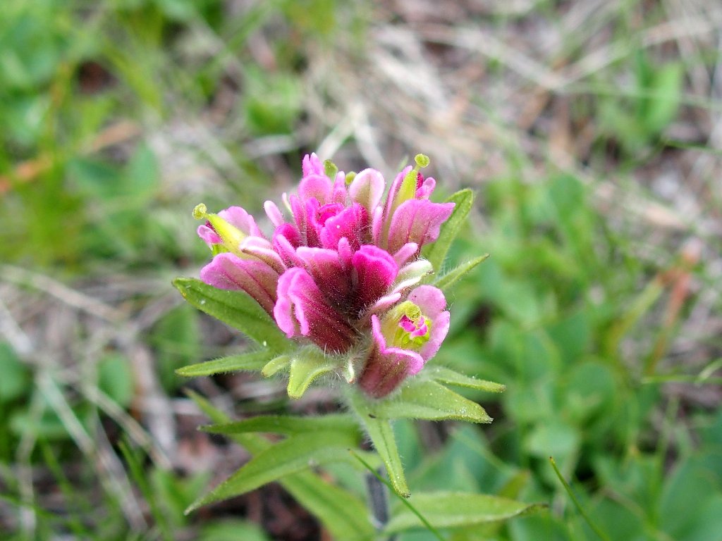
Giant Red Indian Paintbrush
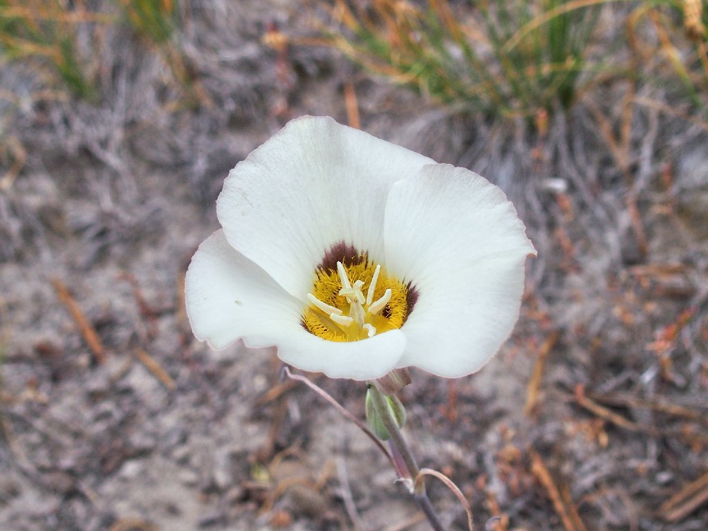
Leichtlin's Mariposa Lily
Walking quickly, I overtake a hiker who hails from Virginia City. When the name Mount Dana comes up, he admits to having climbed it twice. I am hoping to do it once.
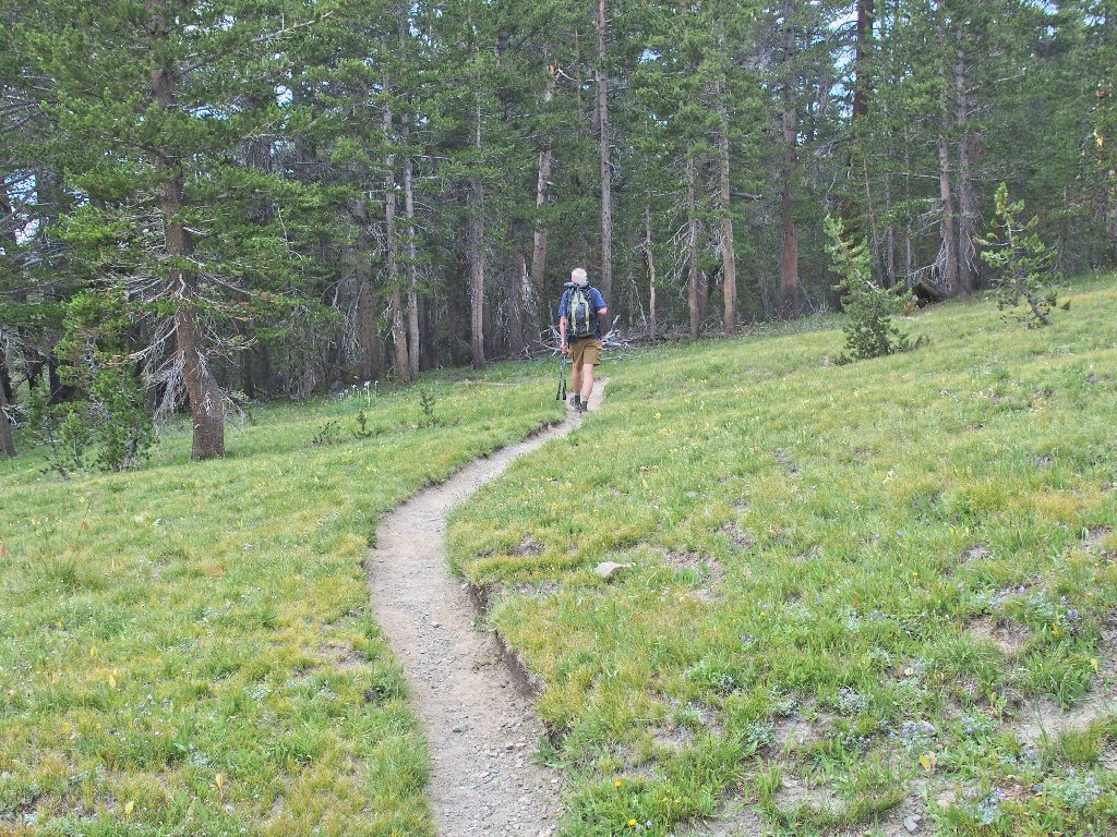
He also went to Mono Pass, then did a cross-country loop
Old cabin
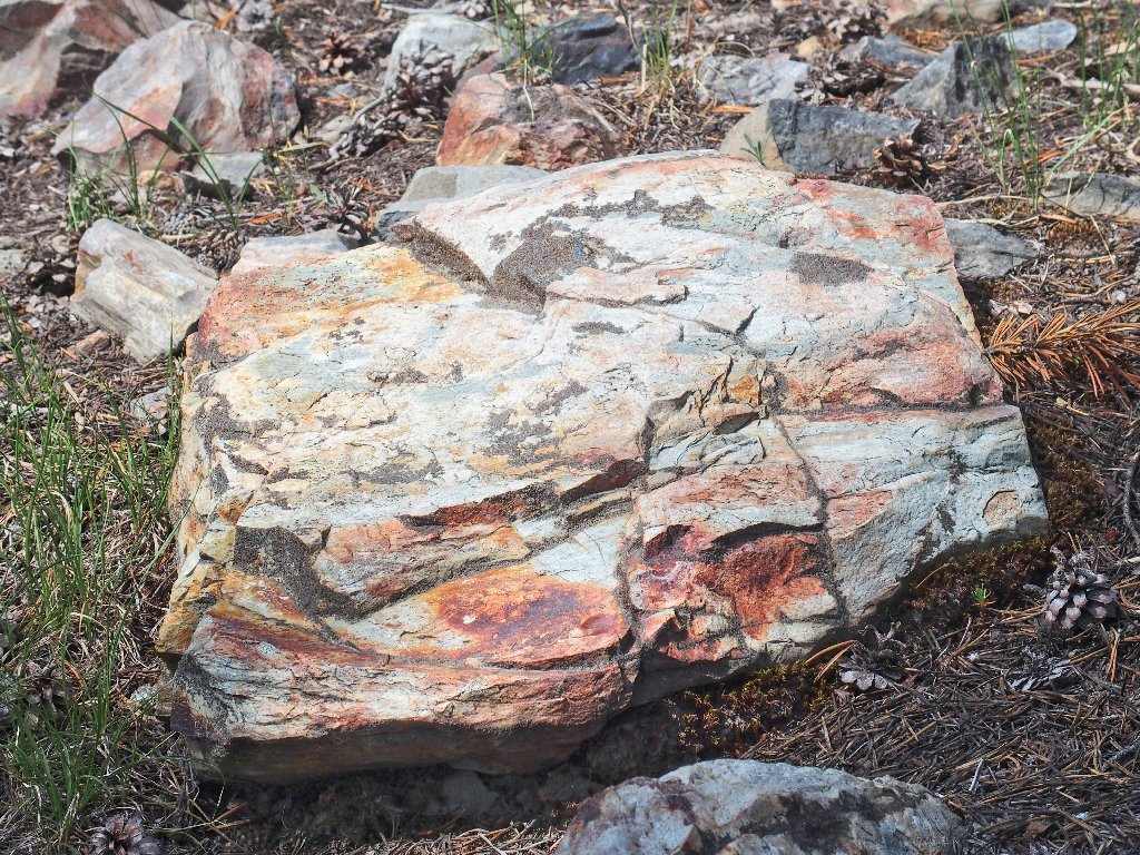
Old rock
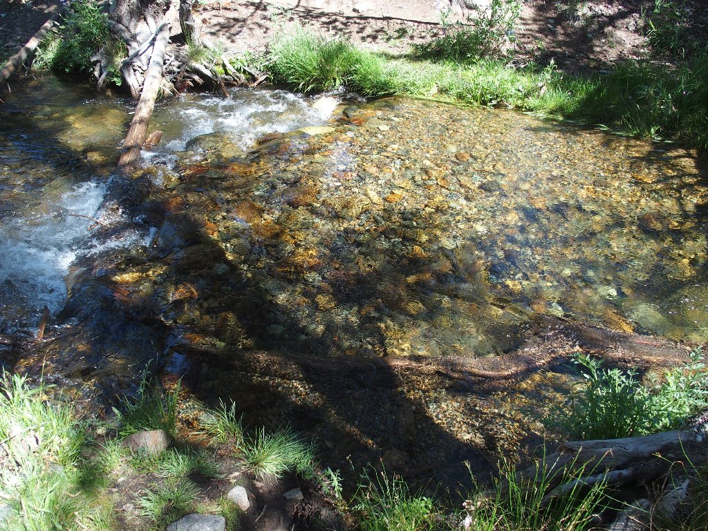
Back at the Dana Fork, I deem it not worth the effort to remove my boots again; so I finish off the walk with wet feet for the second time in as many weeks.
I do, however, manage to end the outing in style with a couple of photographs:
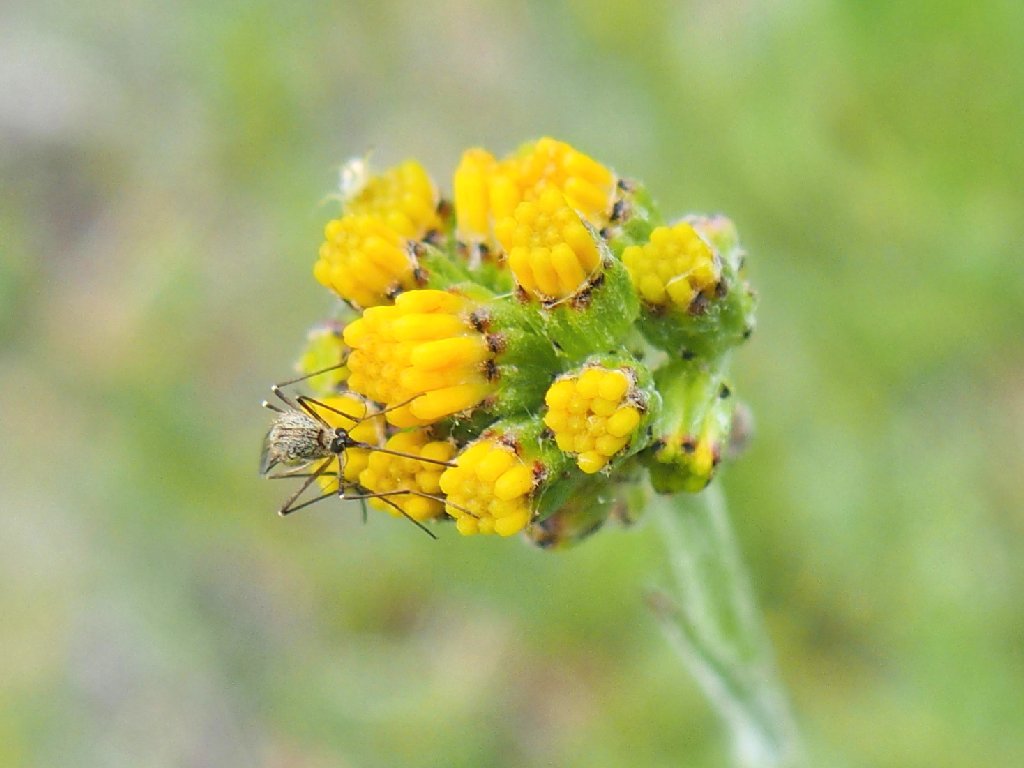
My first-ever Mosquito memorabilia
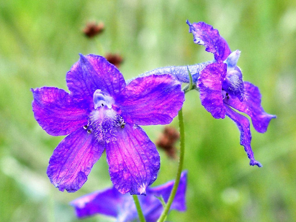
Mountain Marsh Larkspur
§: What a diverse outing this was! Cliff-climbing,
bog-slogging, site-exploration, and a wealth of great
scenery made for a memorable day. Also, this was the most fun
I've had with flowers in this park.
I would like to return to Parker Pass sometime, though.
| Scenery |  |
| Difficulty |  |
| Solitude |  |
| Adventure | |

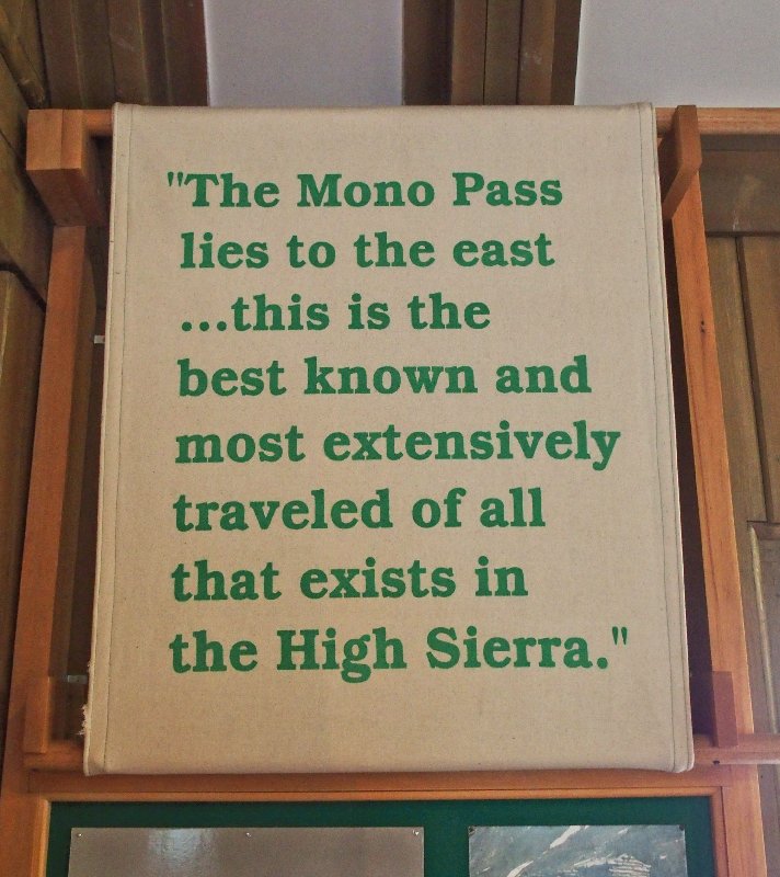
The next day, I discovered this historical quote hanging in the Tuolumne Meadows Visitor Center: