Humboldt-Toiyabe National Forest
|
Pickett Peak Approach Humboldt-Toiyabe National Forest |
July 3, 2017
As I turn off SR-88 onto Burnside Road in Hope Valley, history of sorts is being made; for despite having spent most of my lifetime in this general area, I inexplicably never have ventured up this particular back road.
Today I am hoping to knock off two peaks in one outing. On paper it looks
doable — 7 miles, 2,500 feet of gain. My GPS helps
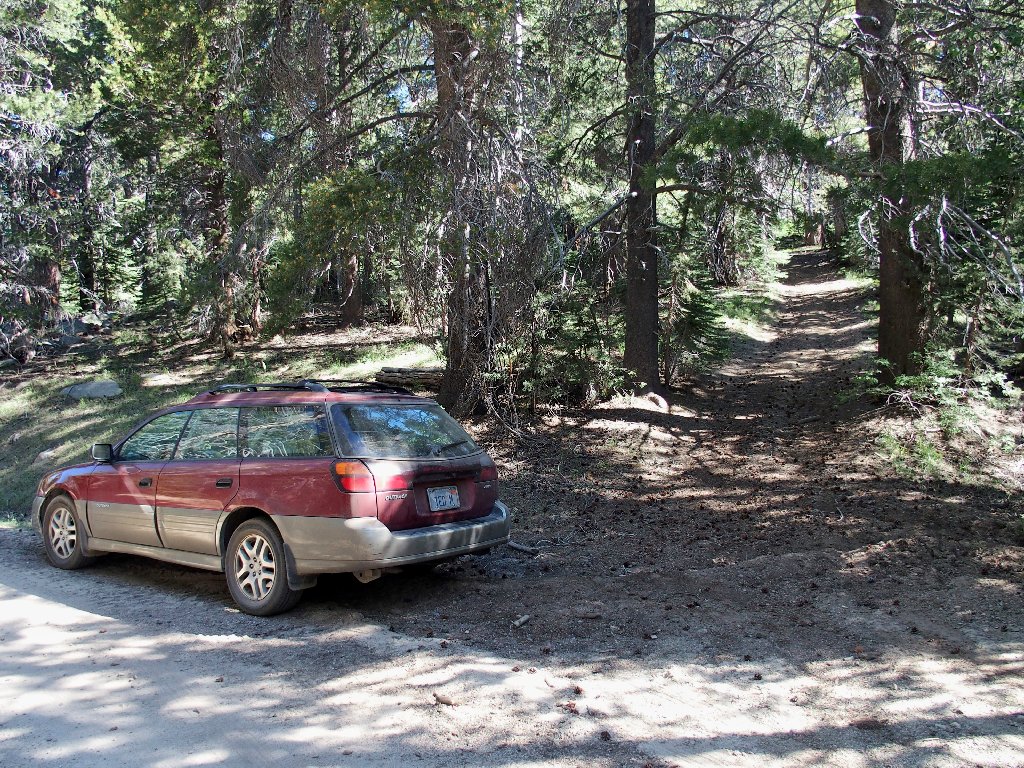
me to find the desired unmarked path next to Hawkins Creek.
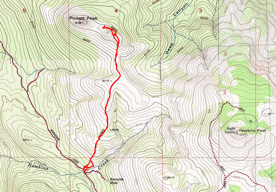
At the trailhead
My Outback could have handled this grade; but I am out for a walk, not a drive
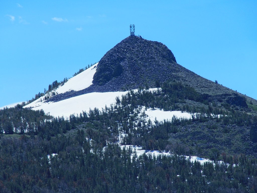
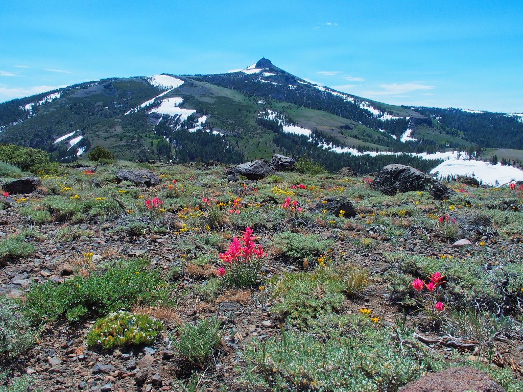
In the east is my principal destination, the area's most prominent landmark.
Hawkins Peak, 10024'
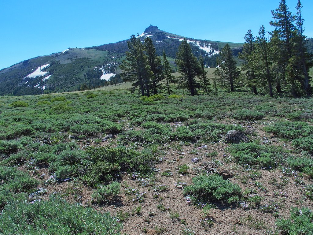
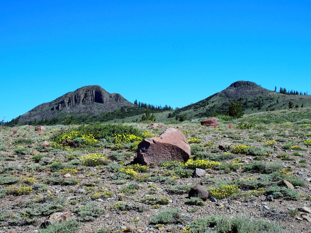
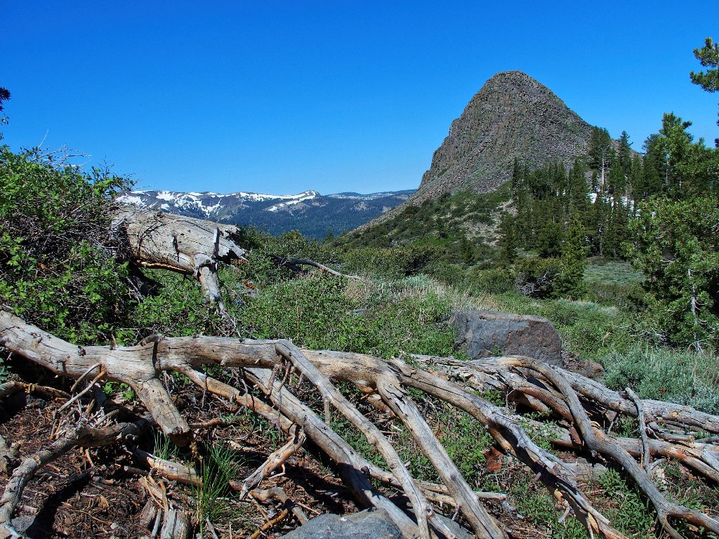
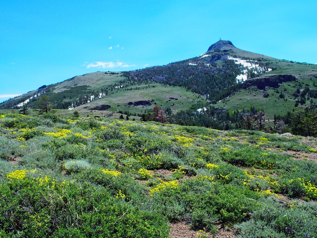
After a mile of steep climbing up the two-track, my first objective appears:
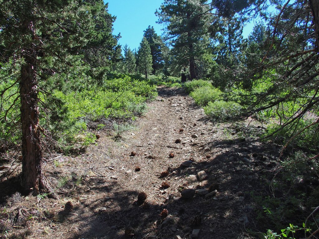
There's Pickett Peak, 9118', on the left
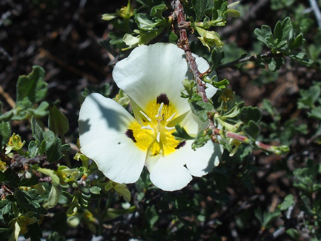
Leichtlin's Mariposa Lily
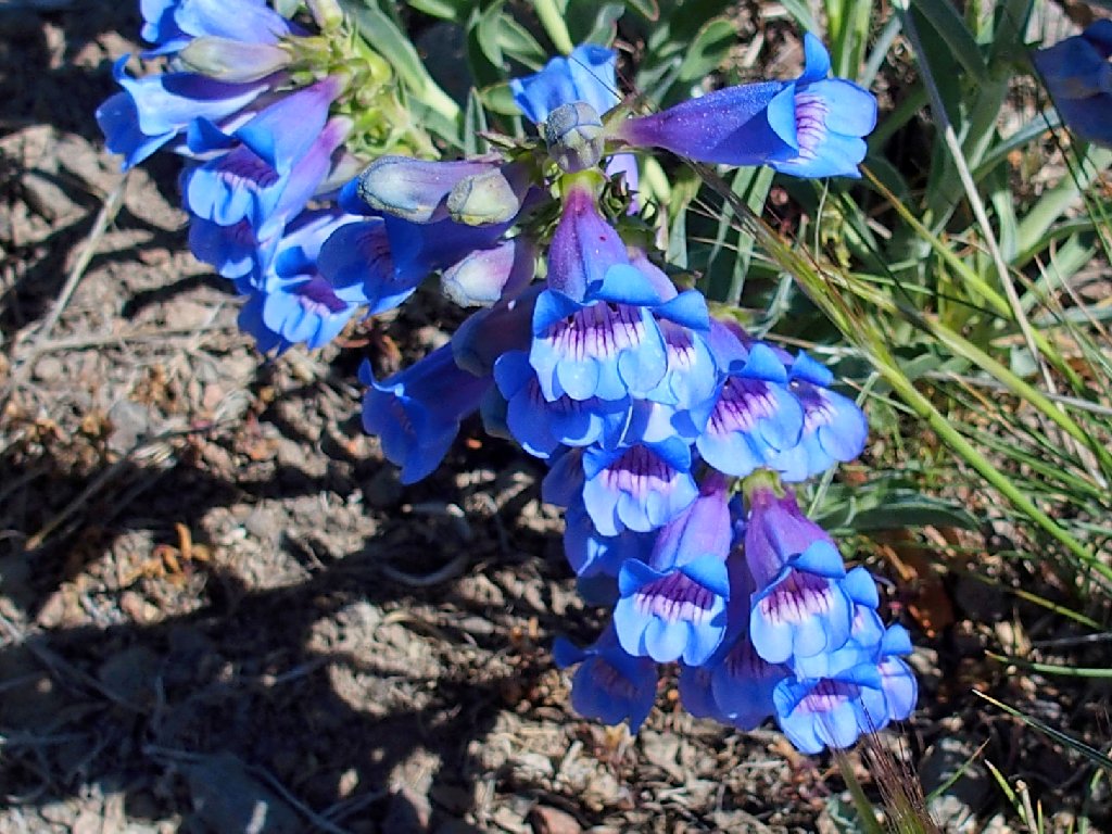
Royal Penstemon
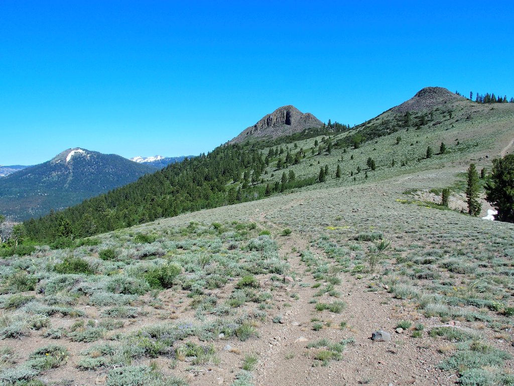
Getting closer
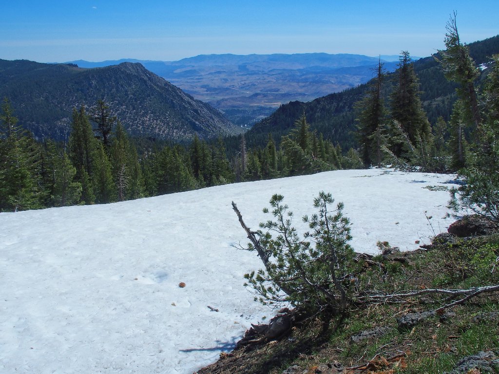
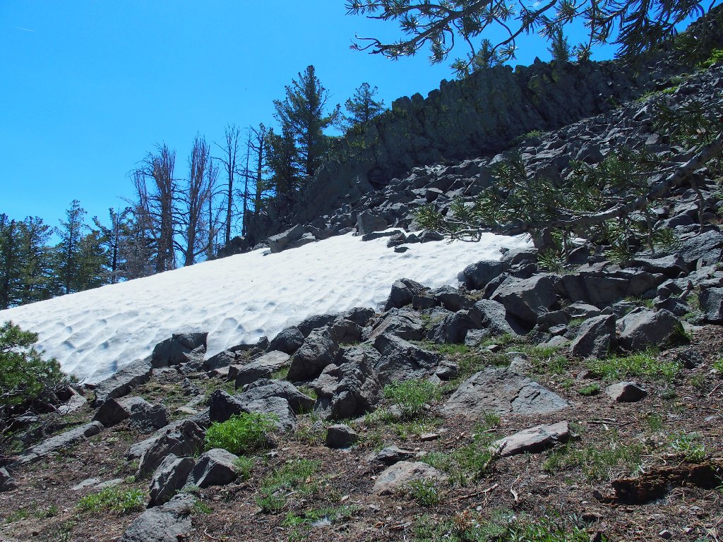
The roadway takes me over to the right of the rock mound, so I go with it. This proves not to have been such a good choice when I encounter a huge snow bank. While contemplating how best to handle it, there is time to capture a view to the east, which extends into Nevada.
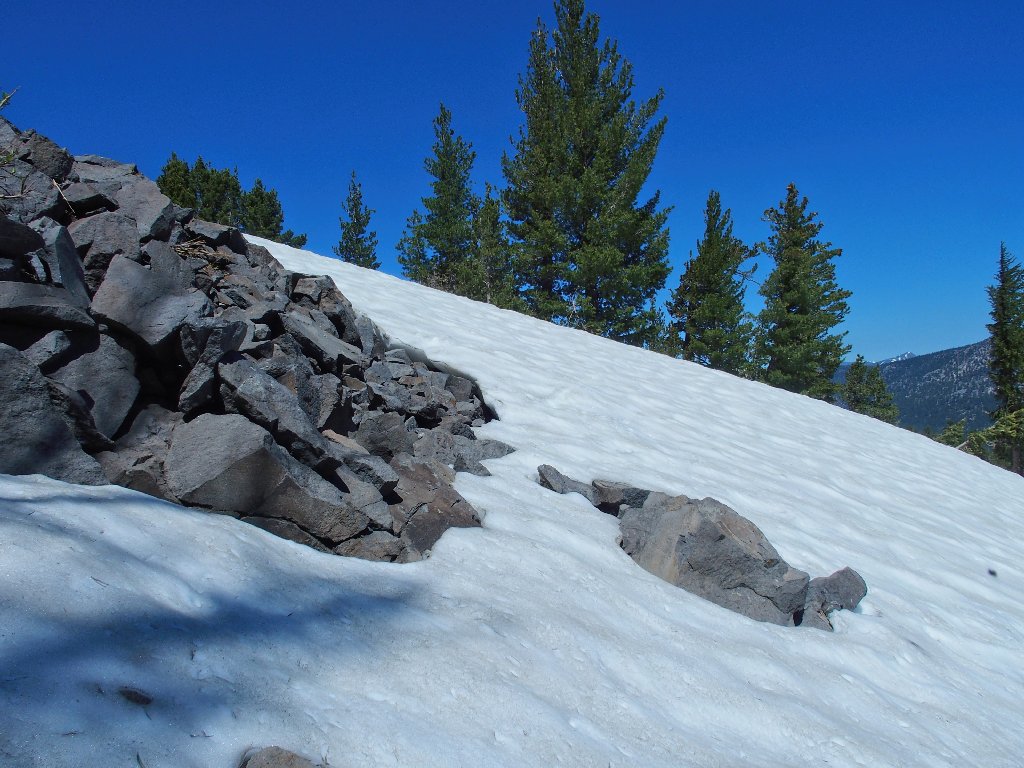
Snow lingers on the north slope, of course
By scrambling up the talus far enough, I manage to get around the drift at its top.
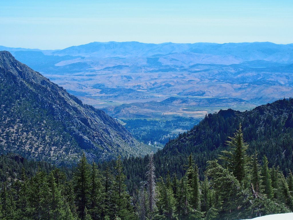
Overlooking the Indian Creek Recreation Area south of Woodfords
Farther north around the rock pile is an even bigger, more forbidding snow bank. I try my luck on the steep slippery slope, but the snow is packed so hard that I cannot even dig a useful foothold in it. It proves rather scary when I begin sliding downward, so there will be no more of that.
I'll traverse the talus instead
With that obstacle behind me, I can take stock. That
summit block over there over there sure is photogenic; but do I
want to climb it? I am not a peak-bagger per se,
and I have nothing to prove. Scaling that mound does not
look like fun. In fact, it looks risky, and I am
alone; so I'm not going to do it.
More trouble than it's worth, I reckon
Back I go, on the rocks again
This time, I veer downward, forgetting that there remains another big snowdrift to negotiate. When I reach it, I brave a crossing by grabbing the branches of fallen trees, choosing a spot that would limit a potential slide to about ten feet. I am too busy avoiding possible injury to take any photographs at the moment.
Back on firm ground, it is time to take stock. That
unproductive exercise has served to sap my energy; and I seem
already to have consumed nearly half my water. Continuing
over to Hawkins Peak would involve another 1,400 feet
of climbing, and a telephoto view confirms that it would be
best to save that mountain for a later date.
Those snow banks make an ascent quite problematical
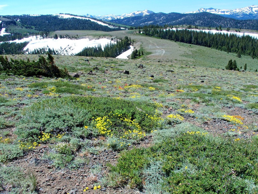
Now that that is settled, I can relax and take it easy for the remainder of the
outing. The scenery is outstanding, and the usual high-elevation flowers
are out in force — buckwheat, phlox, paintbrush, penstemon, and more.
Walking off the steep, slippery roadway is easier than being on it
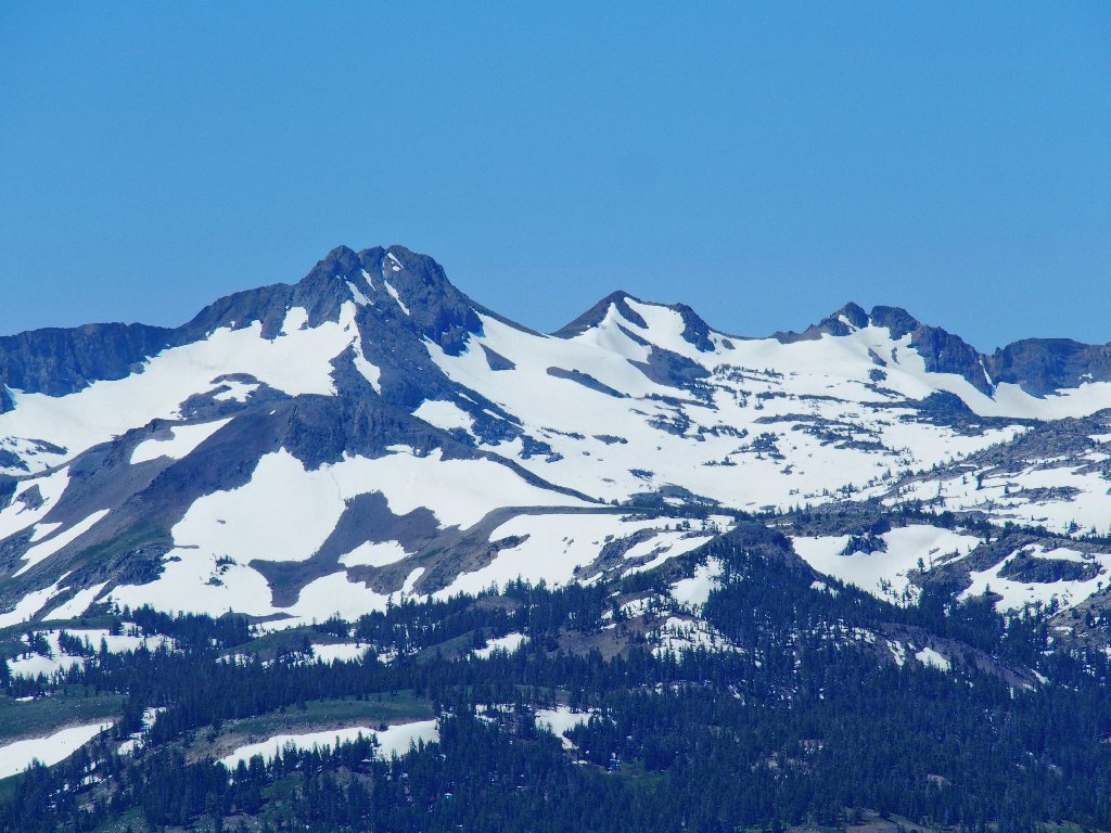
Round Top and The Sisters
Red Lake Peak and Stevens Peak
I guess that Ted's Five Gardens over at Carson Pass will be sprouting several weeks late this year, if at all.
This is why I go hiking
This one isn't bad, either
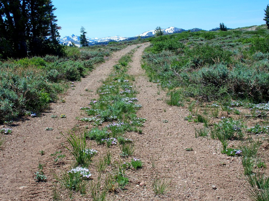
Phlox line the roadway
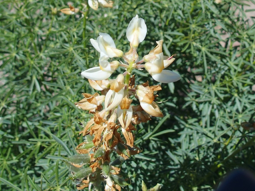
White Lupine
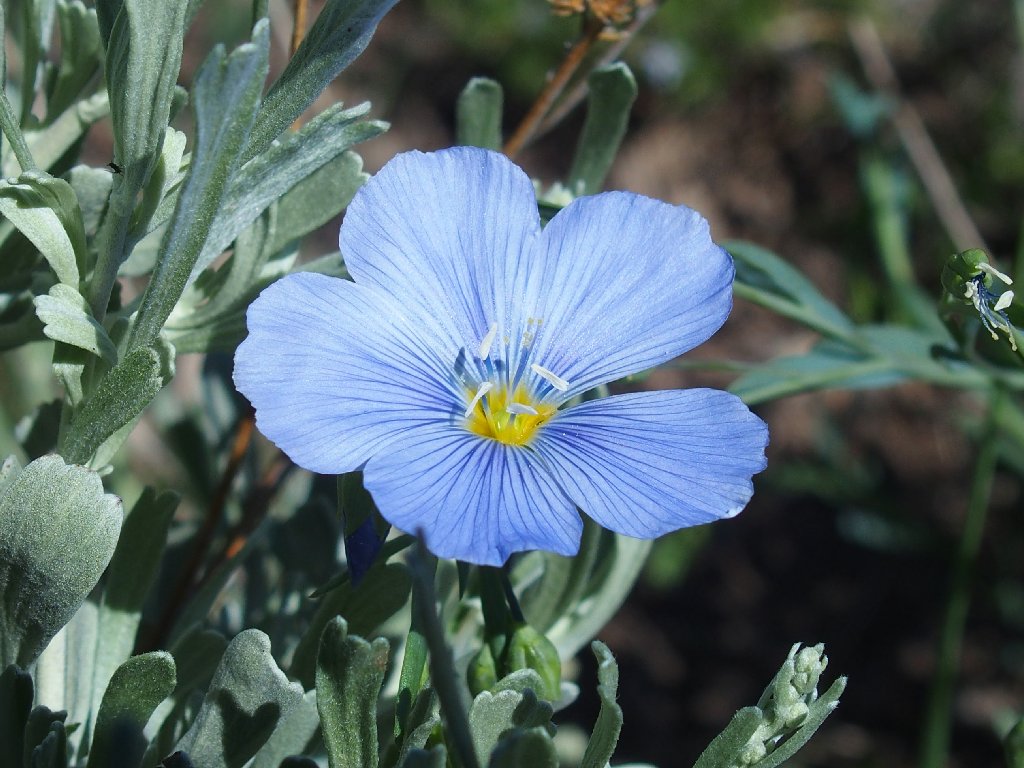
Blue Flax
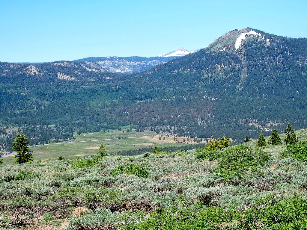
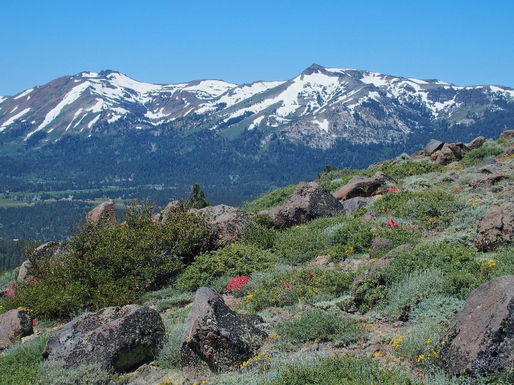
Waterhouse Peak overlooks Hope Valley, with Pyramid Peak behind it
My last flower shot of the day provides an unexpected treat:
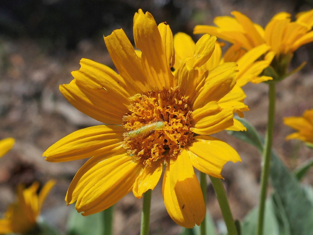
Something new is on the Mule's Ears
Near the bottom of the route, I veer over for a look at the creek; but the best view is the one I get while washing my face at the end of the walk:
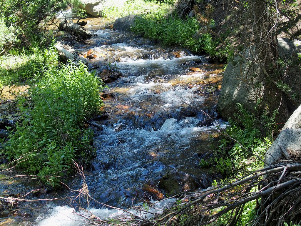
Hawkins Creek at roadside
§: Well, perhaps I really need to lower my expectations.
One day I do a 3,000-foot bushwhack, then struggle two days later
on a 1,000-foot climb. In any case, I can take Pickett Peak
off my bucket list; and I'll tackle Hawkins Peak by a different route.
| Scenery |  |
| Difficulty | |
| Personality |  |
| Solitude |  |
| Adventure |  |