
Tahoe National Forest
|
Troy Ponds Tahoe National Forest |
July 3, 2017
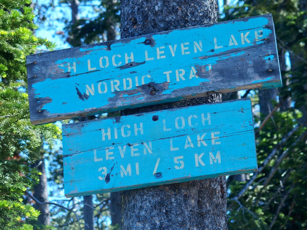
A couple miles east of the Loch Leven Lakes area, a collection of little lakes and ponds looks intriguing, both on the topo map and on Google Earth. Realizing that a lot of bushwhacking might be required, I will tackle this area anyway.
It already is
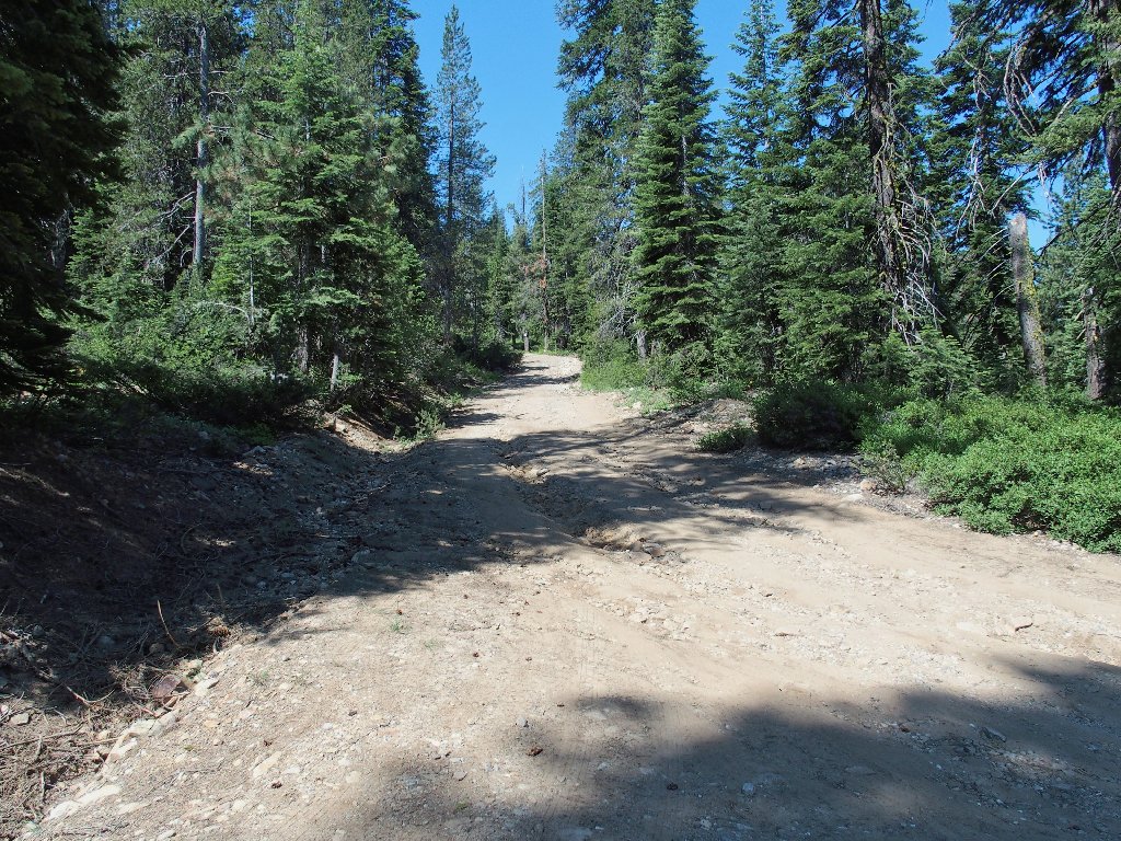
Had I just moved one boulder, I could have driven all the way
All the way to the railroad tracks, that is. No sooner do I cross them than a long train passes by.
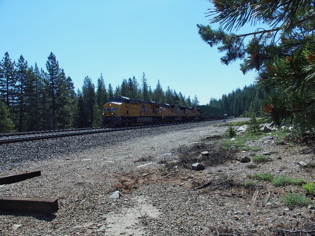
I would not have wanted to wait for this one
I get off to a bad start by choosing a route such that I end up clambering up and down a huge boulder pile unnecessarily. After that, it is time to head for the first waypoint on the list.
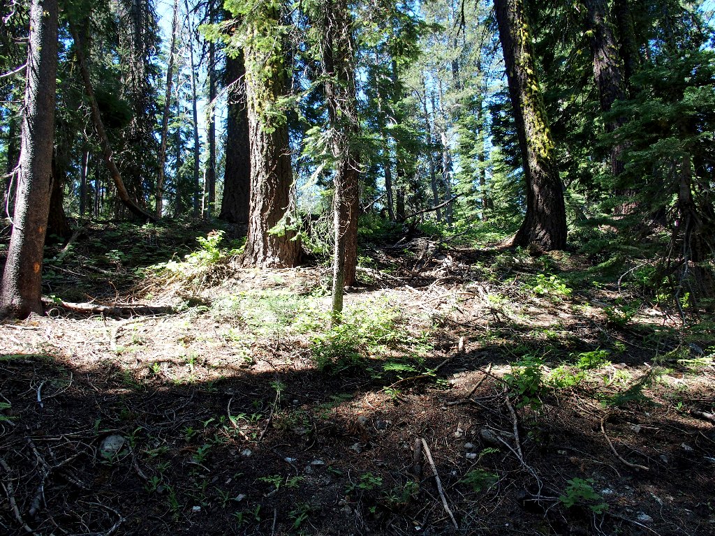
Into the breach
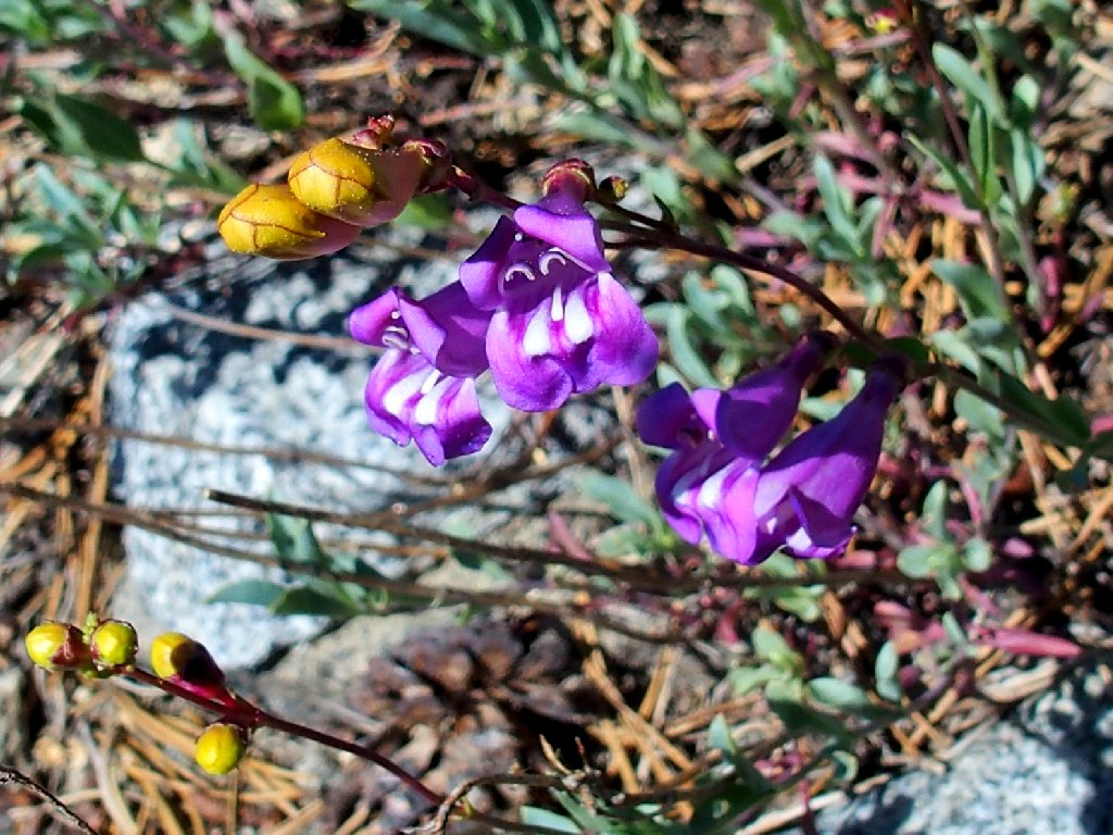
(Azure) Penstemon
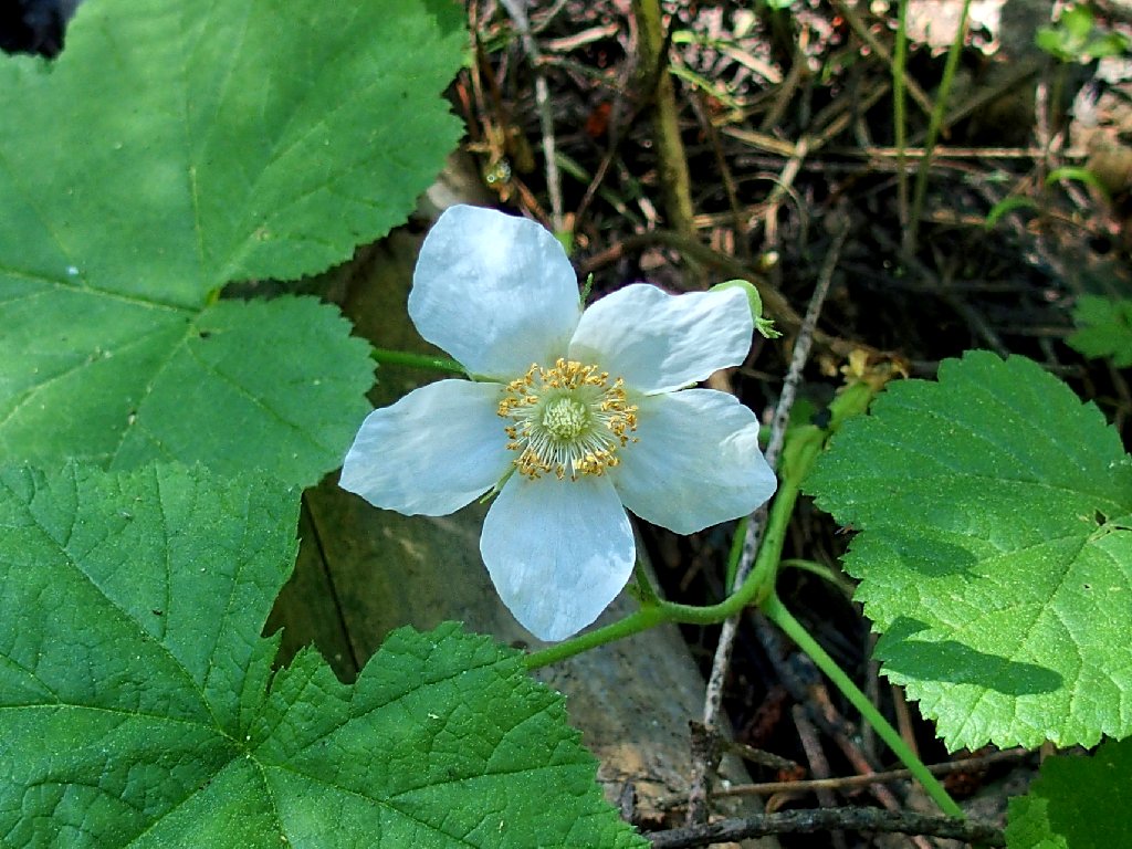
Western Anemone
When I encounter an old logging road, I turn uphill to the left, which
is a mistake; for now I am no longer heading toward Waypoint #1.
Oh well, I'll just head for the next objective instead.
The path is welcome, while it lasts
My GPS waypoints simply flag bodies of water from the topo map, in the hope that they might be interesting.
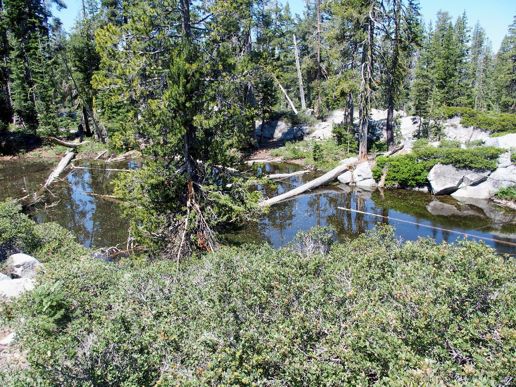
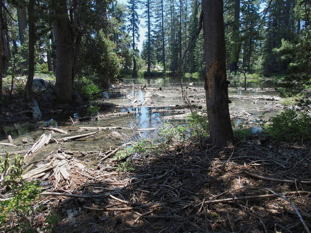
This pond isn't a bit interesting
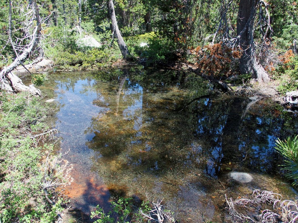
These two don't have much to offer, either
Hoping to find something nicer, I'll just press on and continue the scheduled loop. The going won't necessarily be any easier up in those rocks, but at least they won't trip me or scratch my arms.
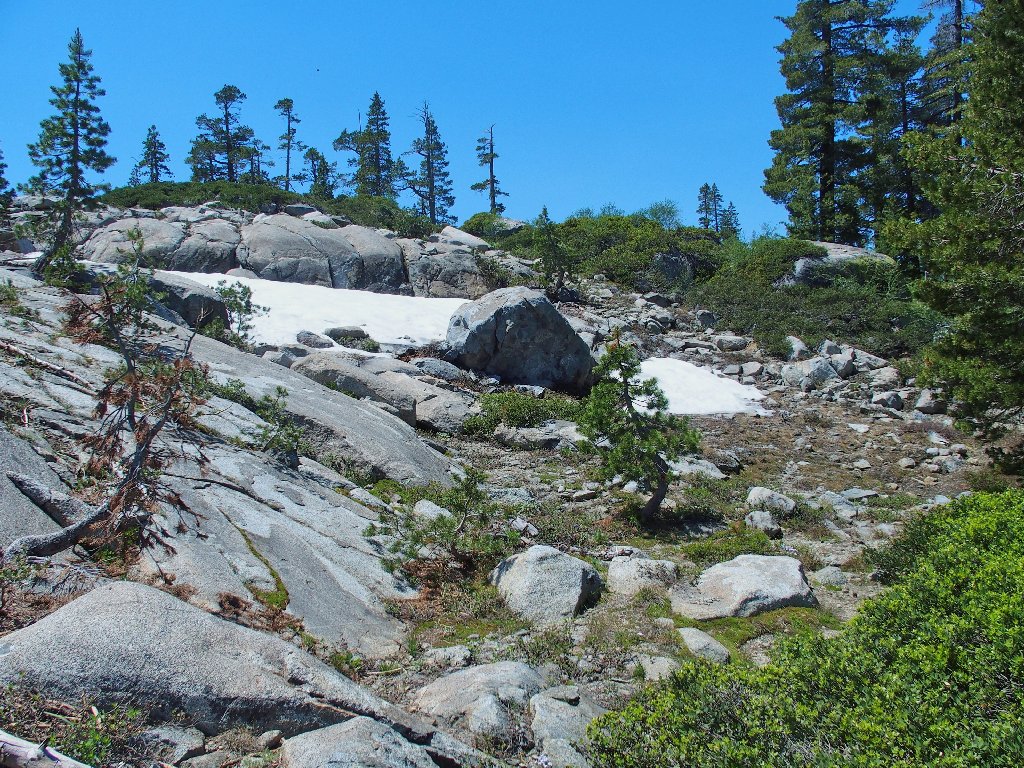
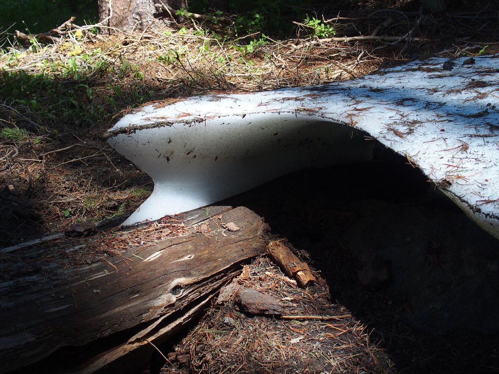
First snow bank of the day

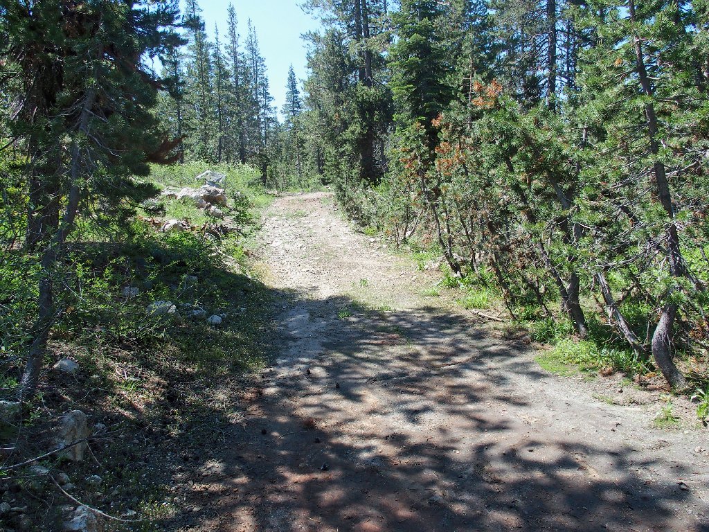
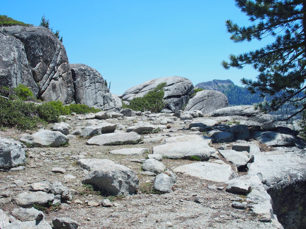
The path ahead
No, not what I'm looking for
There is a granite outcropping in the way of the next objective. It looks as if it might be easier to go up than down, however; so I do that.
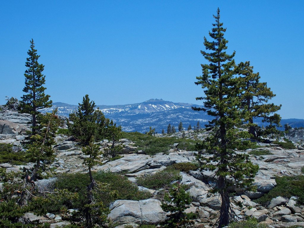
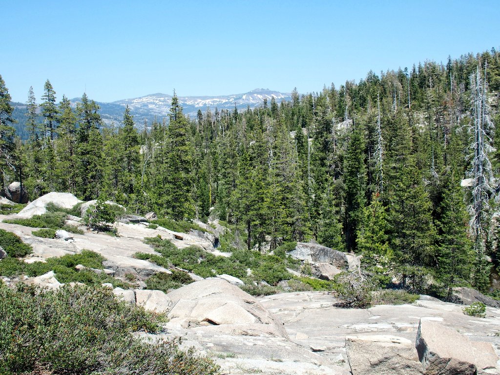
A nice bench provides the first good views of the day
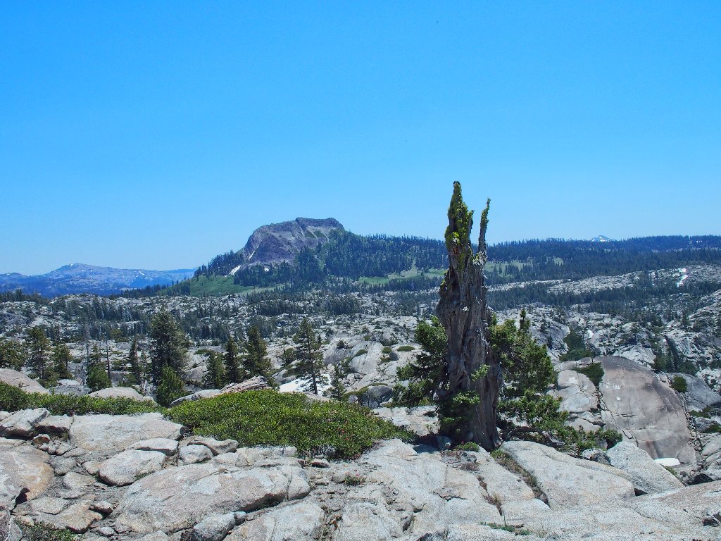
Devils Peak 7704', in the south; and Snow Peak, 8014', in the distance
Castle Peak, 9103', to the northeast
Hello! Is there actually something pretty down below?
Prospects are looking up
As with the rest of this trek, it takes a lot of time and effort to get down there.
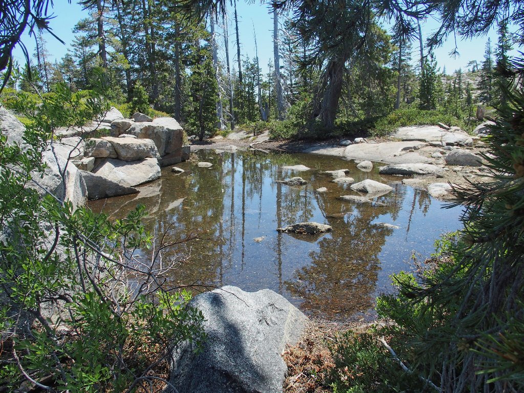
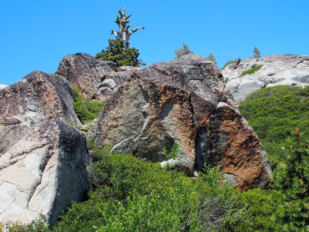
This is more like it
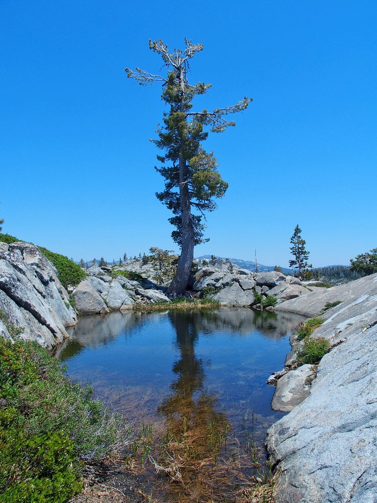
A candidate for my Unusual Trees collection
Up and down the slabs and through the horrid manzanita, to the next lake I go.
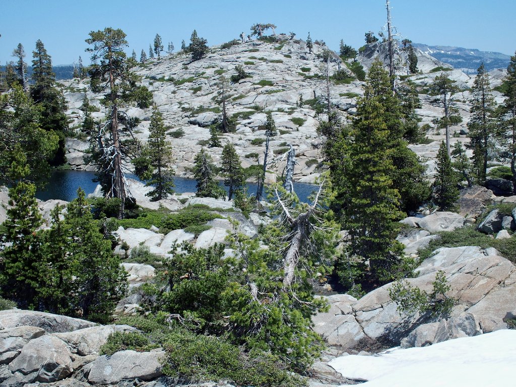
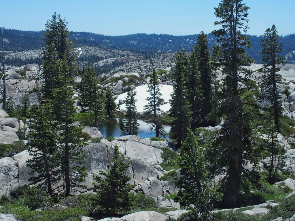
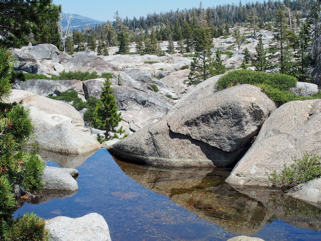
Looks nice from here
Some of these bodies actually are lakes, having creek outlets. Their waters are cleaner that those in the ephemeral ponds.
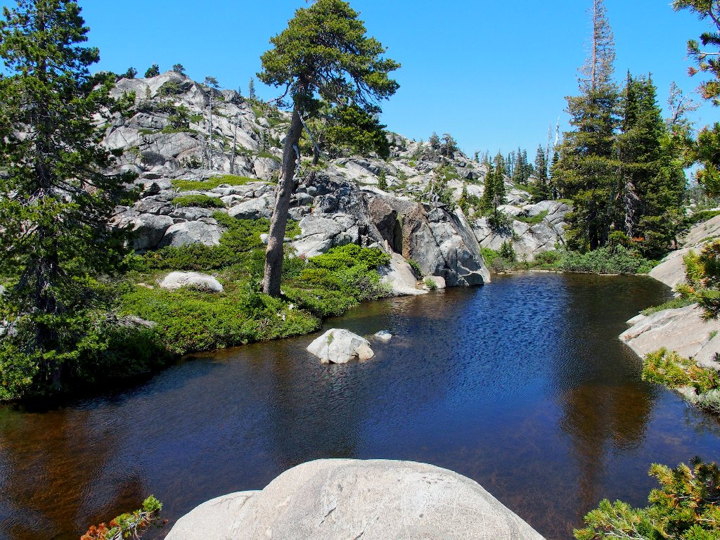
Two lakes for the price of one
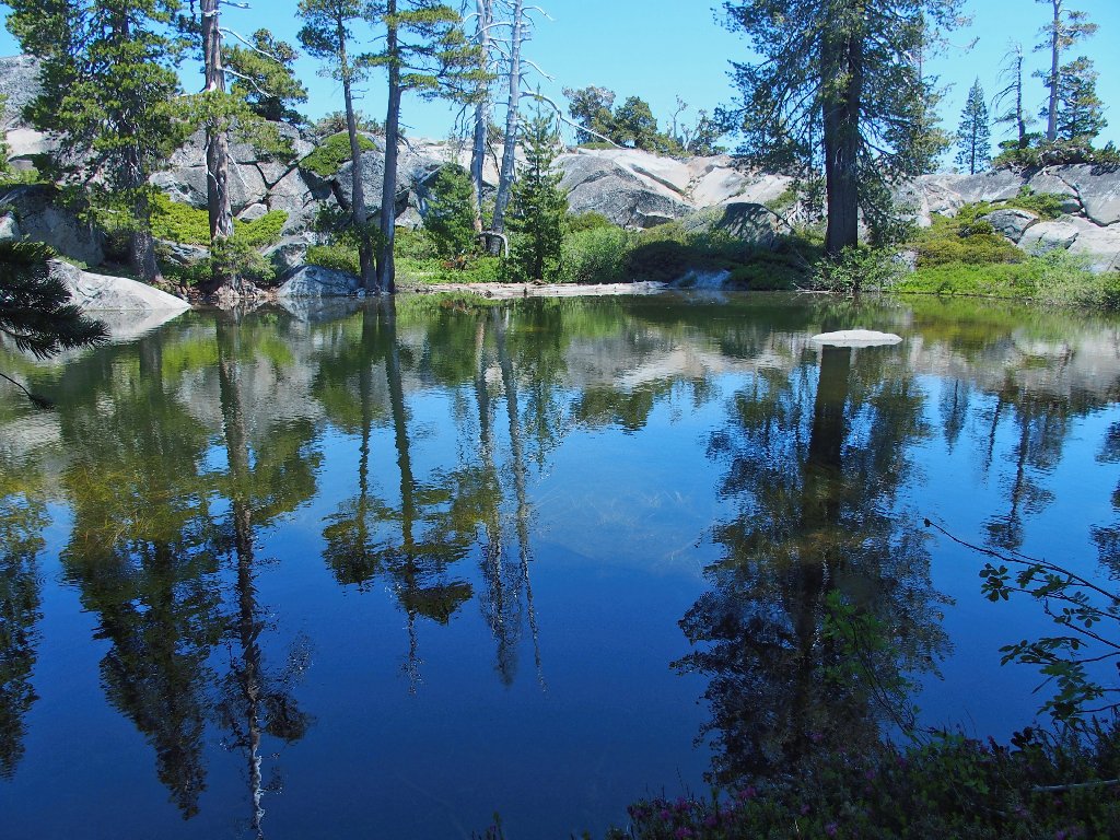
The best view of the day
Okay. There is one more waypoint on the agenda, meaning one more potentially scenic spot.
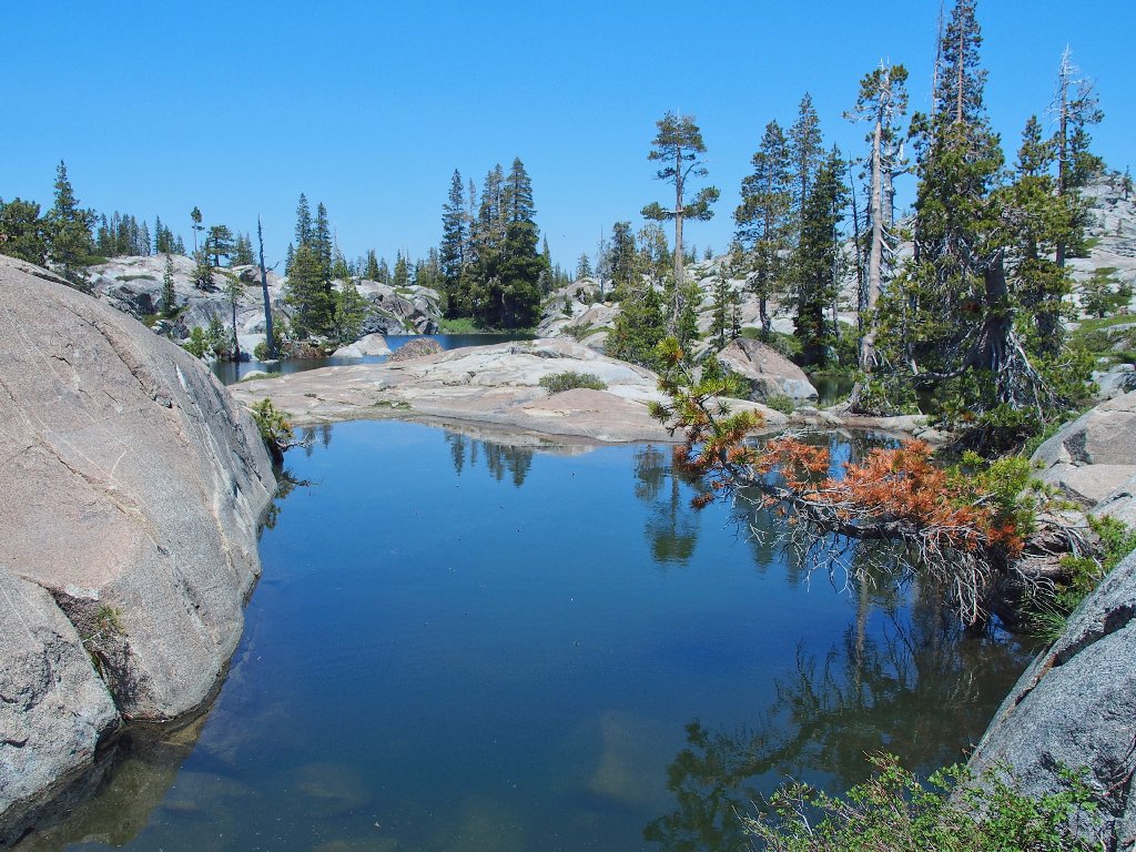
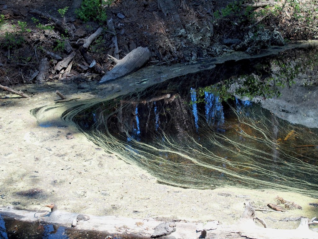
Nice colors
The creek water disappears abruptly
And so do I. There being no attractive option, I just
boulder-hop down the steep creek bed, finding yet another
pretty lake.
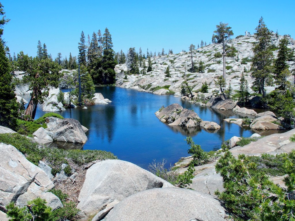
The other best view of the day
Okay. I suspect that this is it for today's visual
treats. I am less than two crow-flies miles from
the car, but I know that it will feel like a lot more before
I am finished.
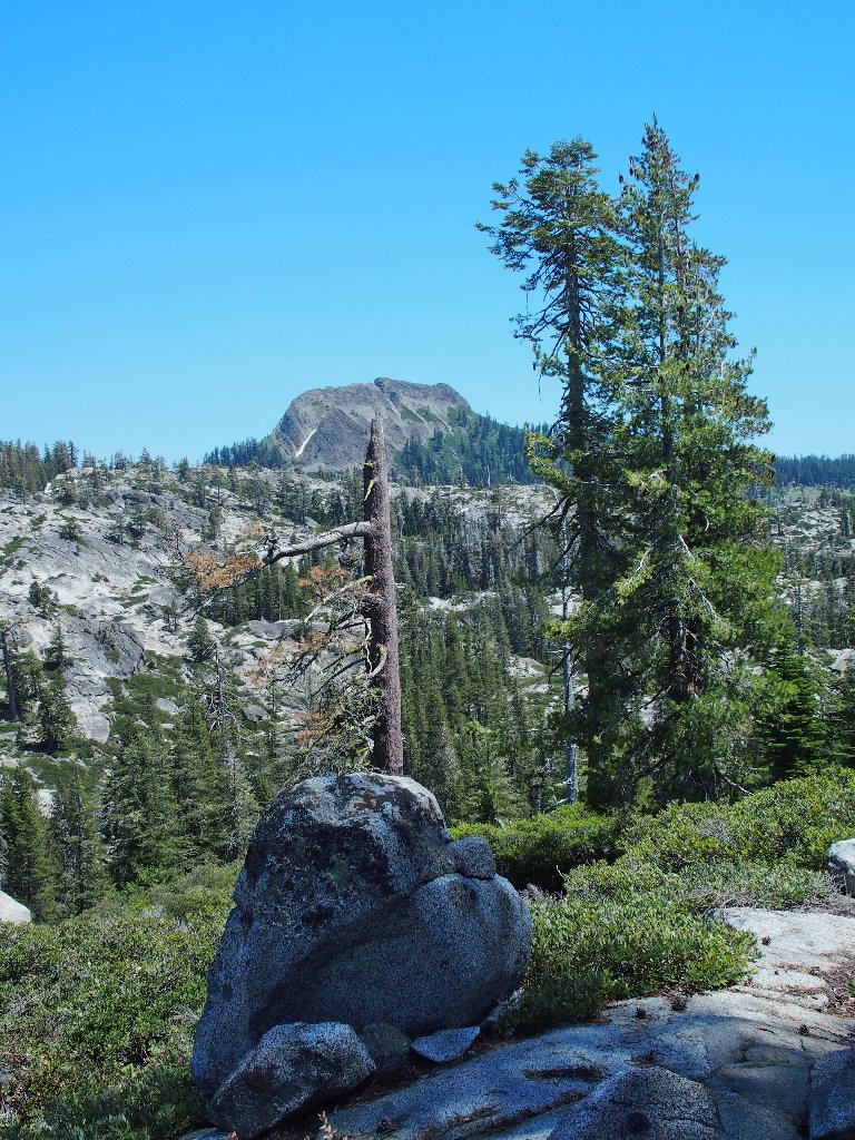
Devils Peak reprise
That is an OGUL Peak, so occasionally someone occasionally ventures up there. Let's see:
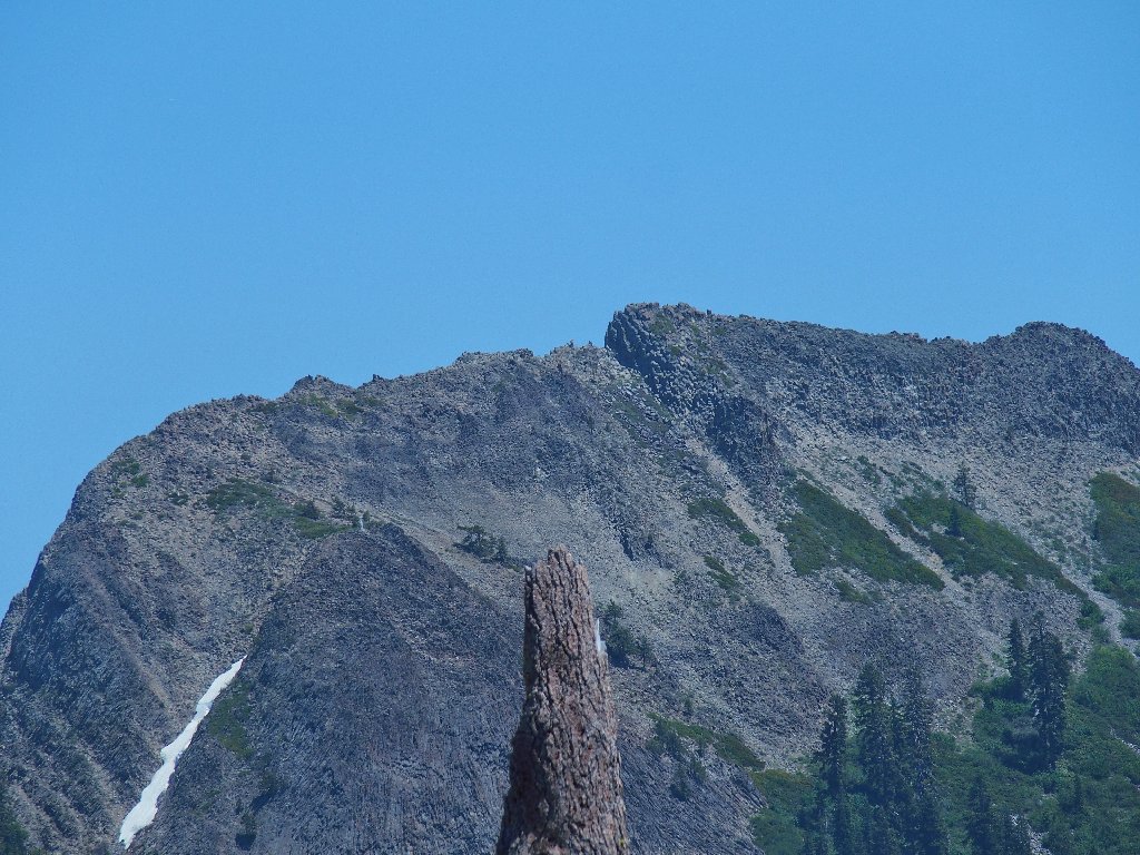
No one seems to be on the summit at this time
It's going to be rough from here
Nice textures
I end up descending into the canyon and following the creek. At one point, I must clamber down a virtually vertical wall of manzanita, with only the plants' branches to keep me from falling. Other than that, this choice of routes proves less problematical than it might have been. Eventually I intersect a roadway, as expected; but it's in pretty bad shape.
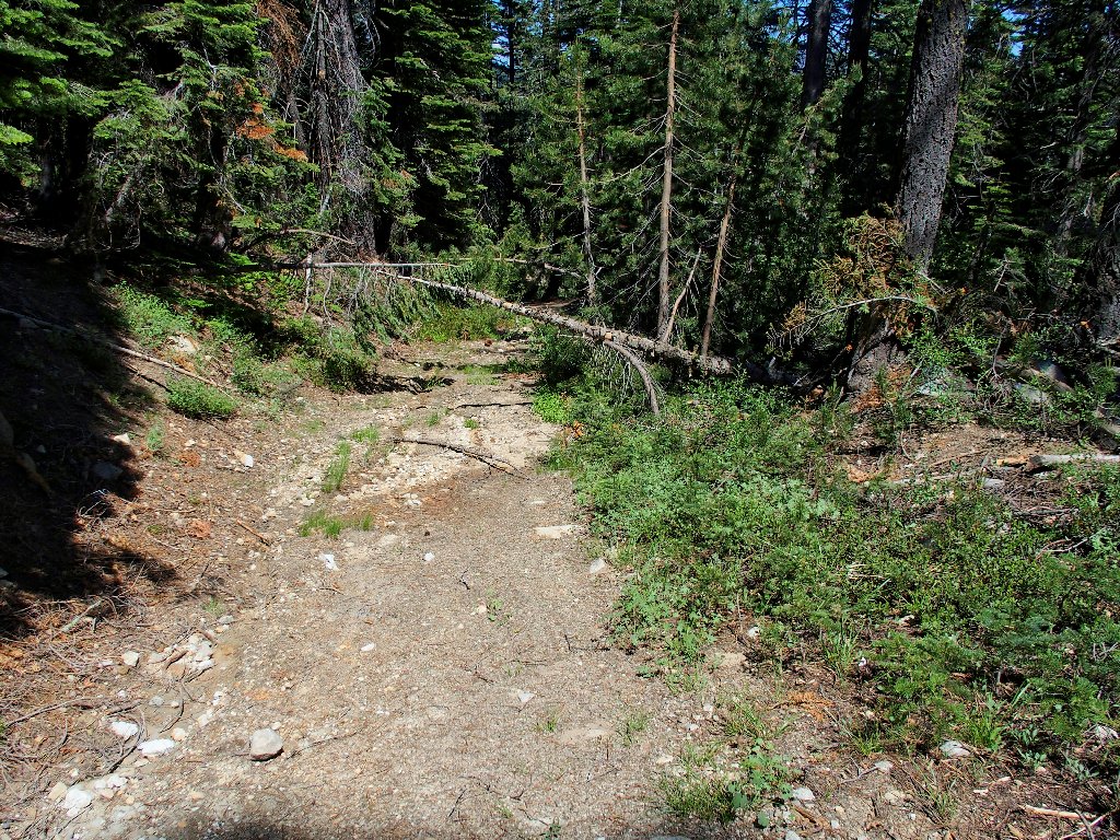
This path is little better than the deep bush
Another intersection begets a better road, which leads shortly back to the railroad tracks.
I wonder whether this still is used
Although there is a road leading directly down toward the car, it is marked, "Private: No Trespassing" at the other end. Although using it probably would not pose a problem, I opt simply to follow the tracks for a bit more than half a mile, back to Troy Road.
The gravel beside the tracks being quite coarse, it is not much fun to walk on; so I humor myself by utilizing the fancy concrete ties instead. This necessitates shorter steps, but I manage.
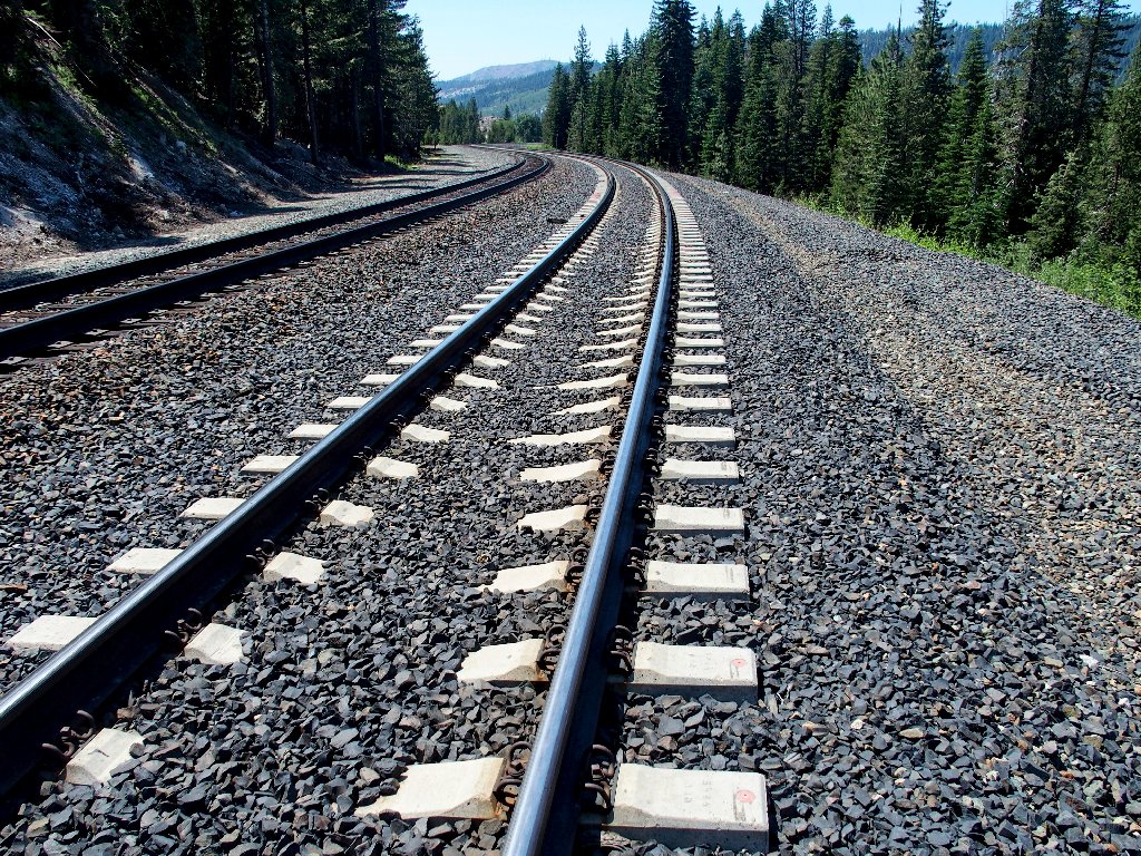
They don't use wooden ties around here anymore
§: Well, that tour didn't go quite as I had hoped; but I
should know better by now. Cross-country going in the
Donner Summit area invariably is quite difficult because of all
the brush, fallen logs, and up-and-down granite formations.
Many other areas are far easier to negotiate.
Although I did visit several pretty lakes and missed some other
nearby stuff, many of the ponds were boring. I cannot recommend
this venture to anyone other than a diehard explorer with a tolerance
for punishment, for I found today's rewards to be hardly worth the
effort. My off-trail adventure, however, was successful
despite the hardships; so that counts for something.
| Scenery |  |
| Difficulty |  |
| Solitude |  |
| Adventure |  |
(counter-clockwise loop)
