
Montgomery Woods SNR
|
Montgomery Trail Montgomery Woods SNR |
June 24, 2017
Looking for a shortcut home from Van Damme State Park and the Pygmy Forest, the most direct route to Ukiah takes me down a back way named Orr Springs Road. Along the way is a state reserve that I had seen on the map; I believe that I will have a look.

A most enlightening signpost ⇔
Incredible! I had no idea that the tallest known tree of the day was located this 'far' inland, and in a park that was unknown to me until today.

⇔
The map suggests a loop of about a mile. I strap on my pack with a water bottle, but don't even bother to put on boots. It's pretty warm out, but how bad could it be?
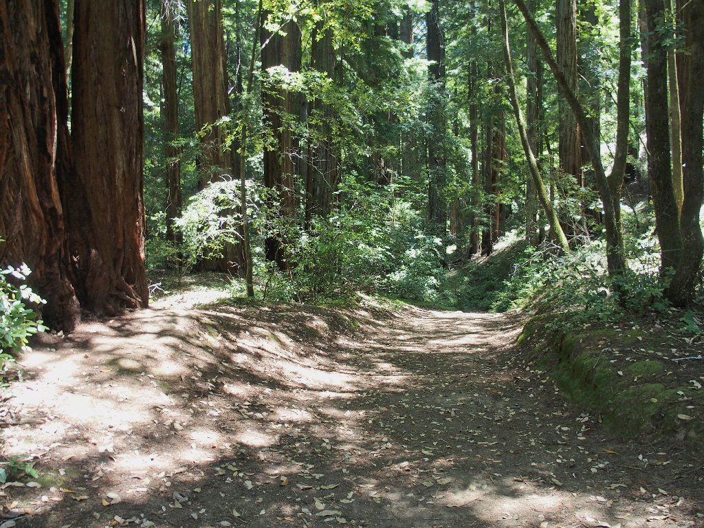
The going is quite steep at the start


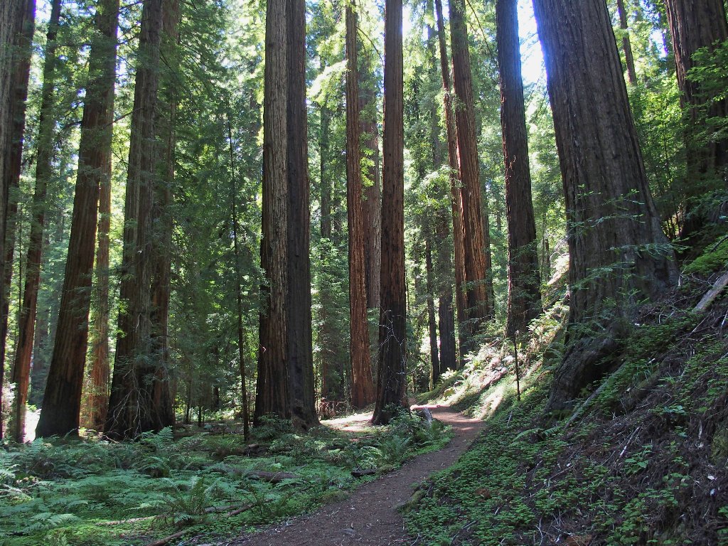
The trees are mighty tall around here...
...excepting those that didn't make it

Low headroom
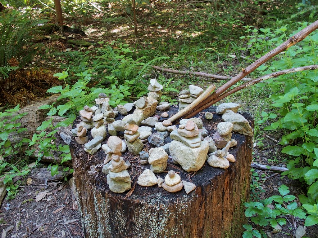
The ground levels out in a shaded area, which I guess is an official grove of sorts. There are no helpful signposts around, however; so I keep on walking.
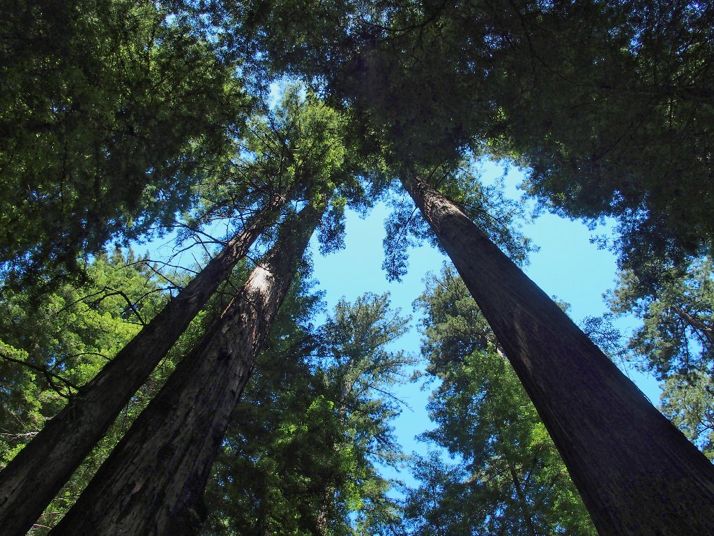
Walking among the tall trees is predictably humbling
After crossing a wooden bridge, the trail continues upstream,
becoming ever more faint as I proceed. This is rather
strange, because I expected a more well-used route.
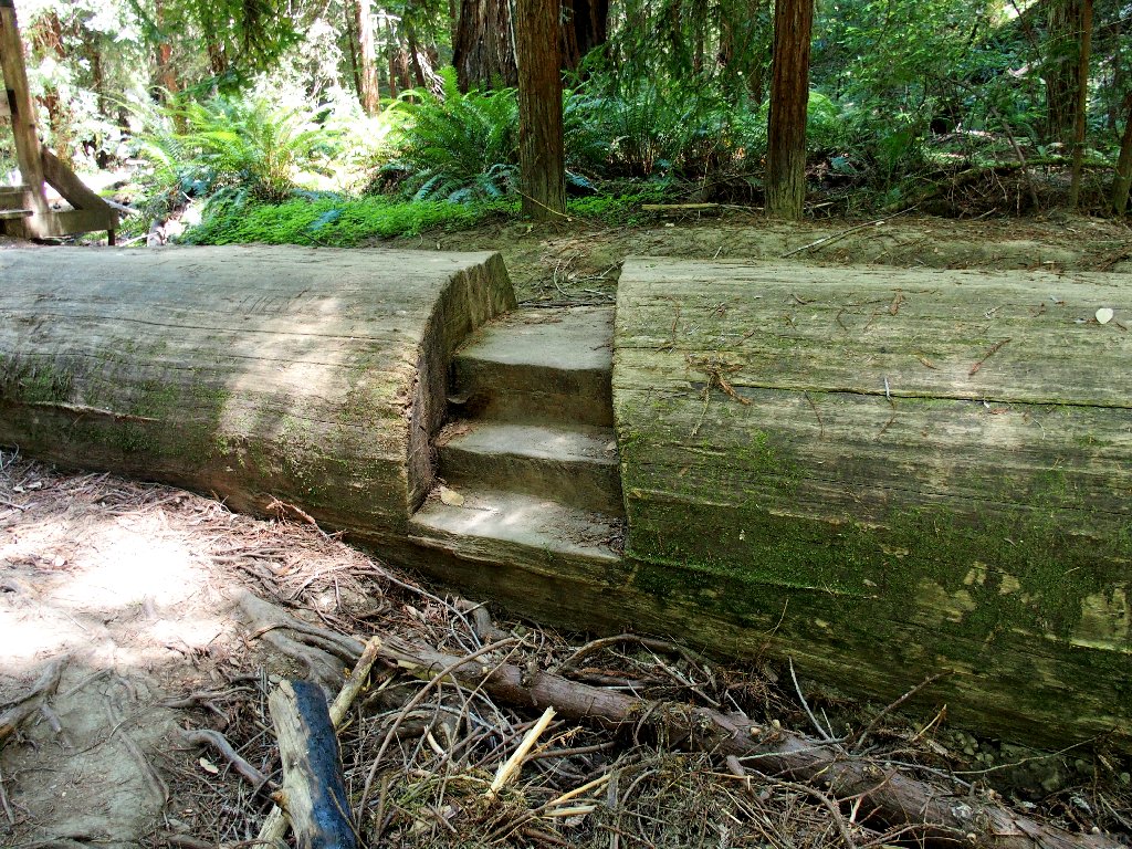
Well, this used to be a real trail
This obstacle requires a bit of exercise
After fifteen more minutes of serious bushwhacking, I must take stock. It has taken me way too long finally to figure out that I am off the beaten path.


The bushwhacking is becoming ever more difficult
I also have been climbing steadily, when I should be going downhill. Lacking a compass at this time (how bad could it be, right?), I cannot even be sure in what direction I am proceeding.
Even with just my street shoes, and without a walking stick, I have been handling the rough stuff without a problem. I'm not a bit tired, and there is plenty of water. Nevertheless, I have no assurance that pressing on will get me anywhere useful; so with a sigh of resignation I turn around.

Somehow, this one doesn't seem too bad...
...but it is overflowing, and that is bad
Back at the bridge, I figure out what went wrong. In fact, there was a choice of routes, and for some reason I didn't even see the one I needed.
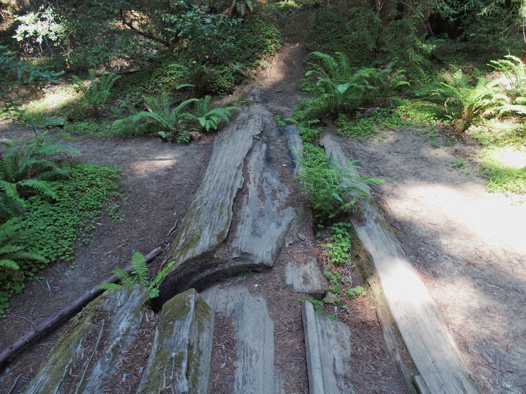
There's a path to the left, and a path to the right
Today, left is right, and right is wrong. Had I paid closer attention to the map at the kiosk, or had one handy, there would have been no confusion.

The trail on this side of the creek is more interesting than the other one.


Nice bark

This walkway is broken and rickety
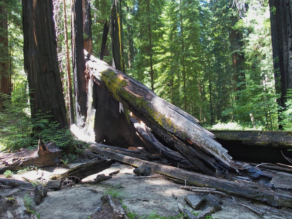
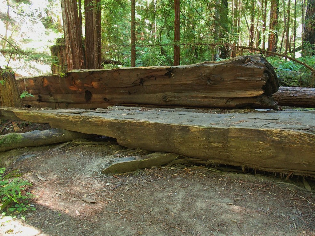
Back near the junction with the original trail is the most interesting feature of the walk:

Montgomery Creek flows underneath a fallen giant tree

A better perspective
In fact, a unique photo-op presents itself. By moving in closer and crouching down, I can include a little waterfall in the view:

This makes my day
From here, it is but a ten-minute walk down the service road to the trailhead,
where the air temperature has risen to 85 degrees. I should be home
in just three hours or so, concluding my four-day, seven-hike
excursion.

§: Well, I don't know whether I actually glimpsed the famous
Montgomery Tree today, and I don't know what could have prolonged my minor
disorientation; but I was feeling quite fit and was having a good time
despite the difficulties, so it really didn't matter.
Be aware that it is okay to walk upstream from the wooden bridge; in fact,
there is a mini-loop trail continuation up there. Just don't stray
too far.
| Scenery |  |
| Difficulty |  |
| Personality | |
| Solitude |  |
| Adventure |  |

