
Yosemite National Park
|
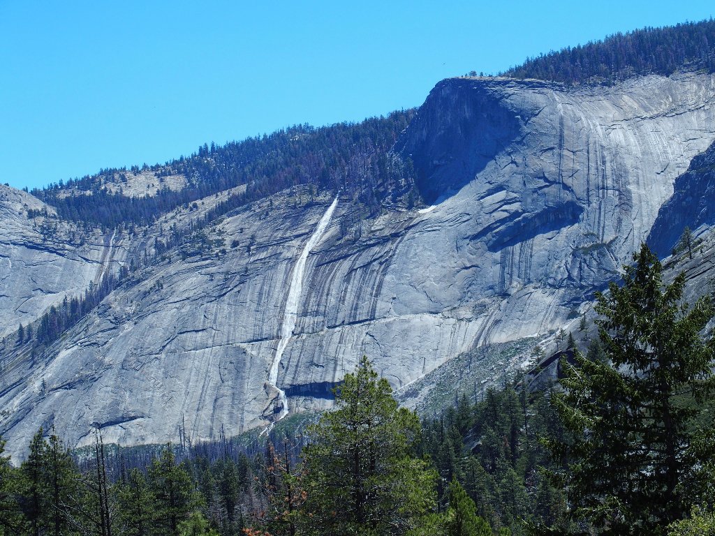
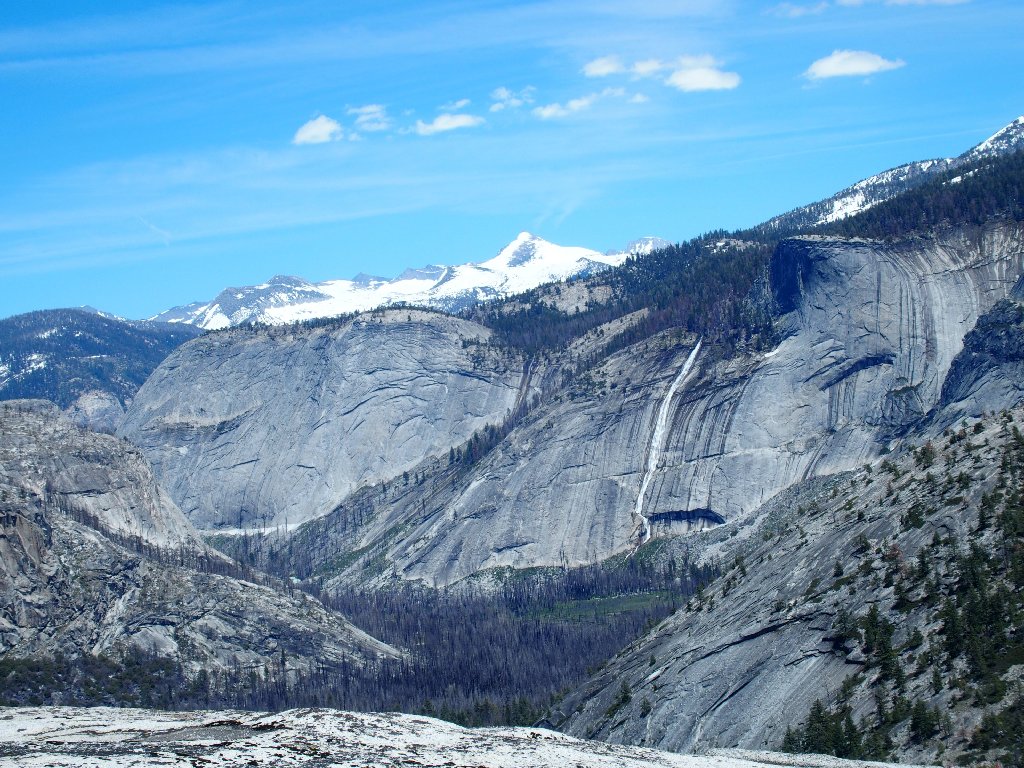
Liberty Cap Yosemite National Park |
June 2, 2017
After having had such a good time over at Chilnualna Falls
last week, I feel compelled to visit the park once again at this
time of extraordinary stream flow, if only because the opportunity
is nigh. Besides, my high-mountain haunts still are
snowed in; so I must stick to the lower elevations for now.
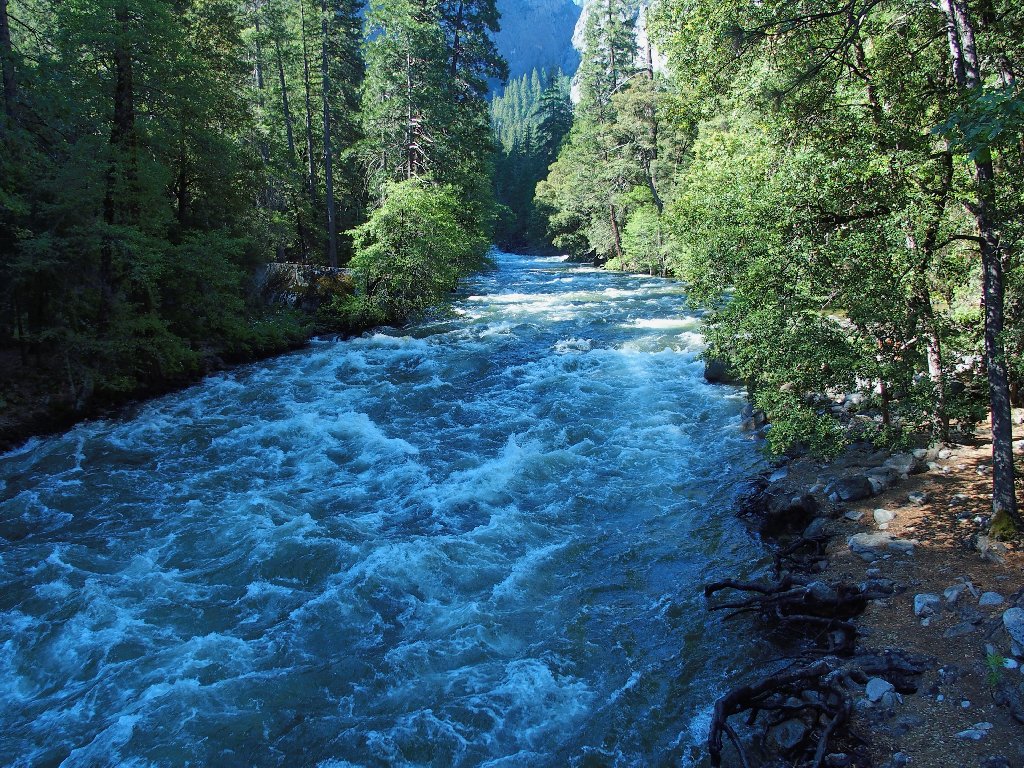
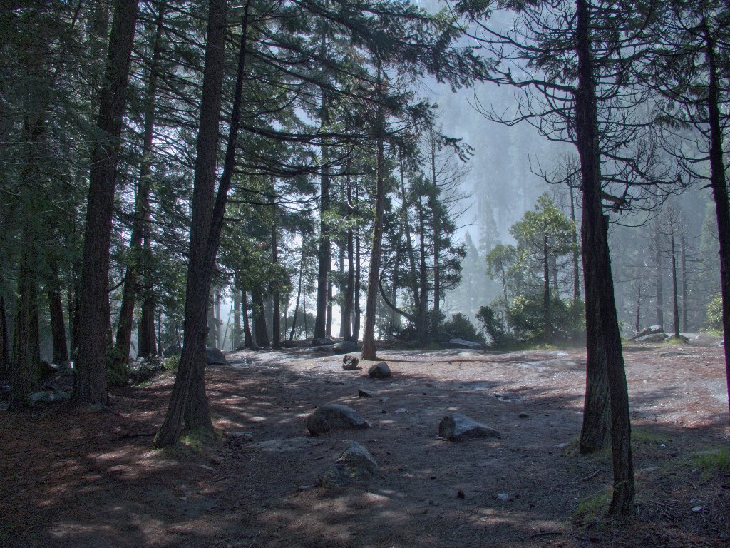
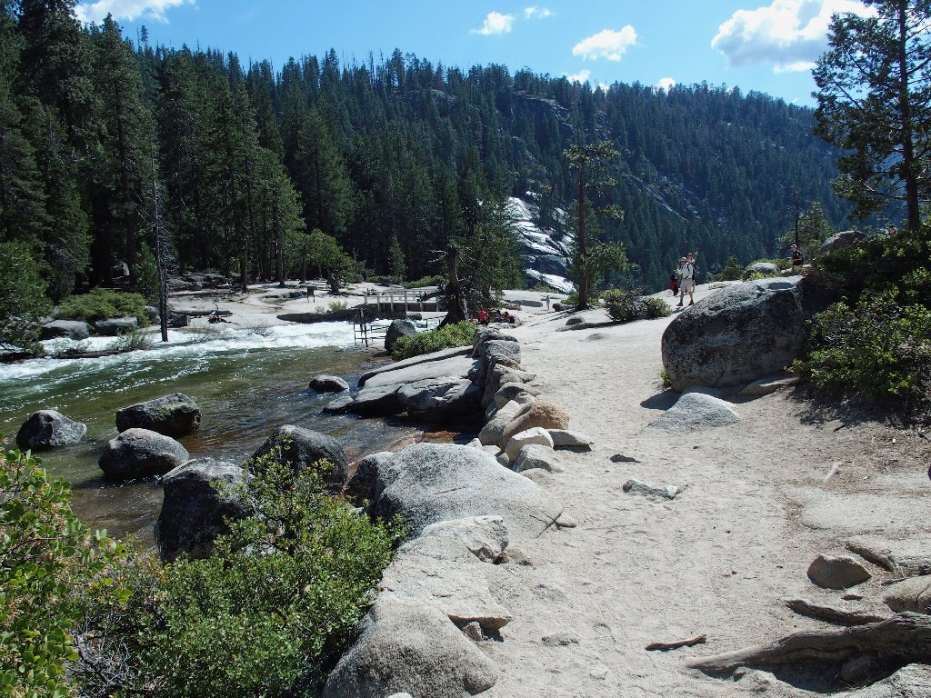
The Merced River at the trailhead, 8:45 a.m.
Certain other bloggers claim that climbing the back side of Liberty Cap is not particularly difficult, and that utilizing the West Gully between it and Mount Broderick also is an option. I haven't yet decided whether to try that 'back way' around, for I would at least have to find the trail first.
North Dome is — to the north, of course
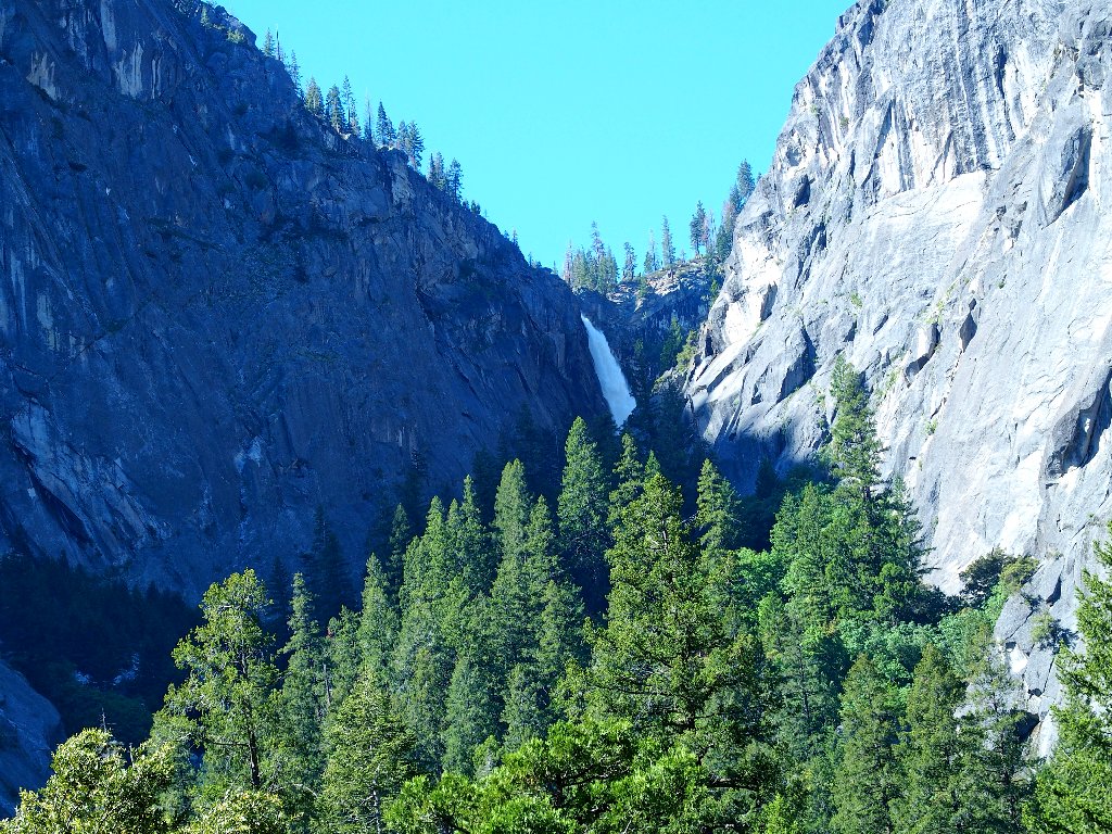
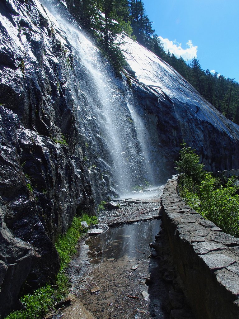
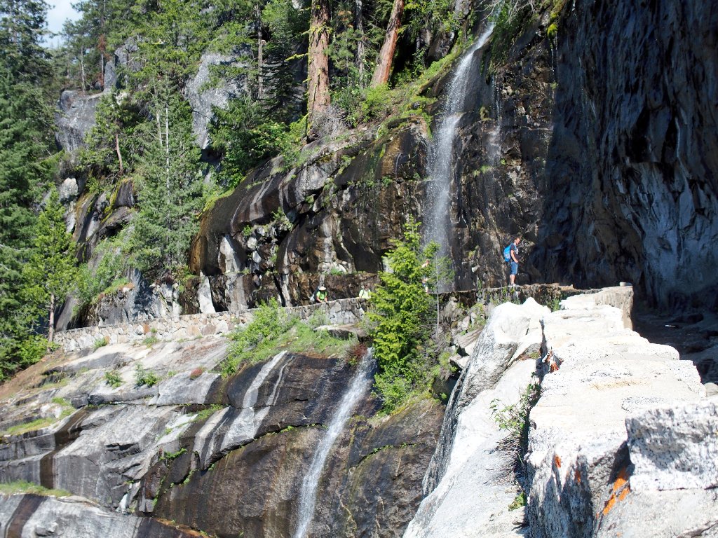
The first order of business, however, is dealing with the Mist Trail. I know that the spray from Vernal Fall will drench me, but I am prepared for that.
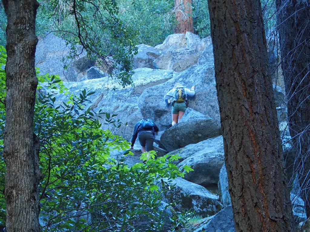
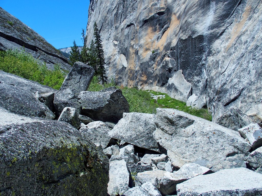
A quarter of a mile up the trail is a signpost with details about the 1975 rockfall that permanently blocked off a popular trail. Perhaps the couple just ahead of me has read my journal, for they are scrambling up the boulders just as I suggested.
Headed for Sierra Point
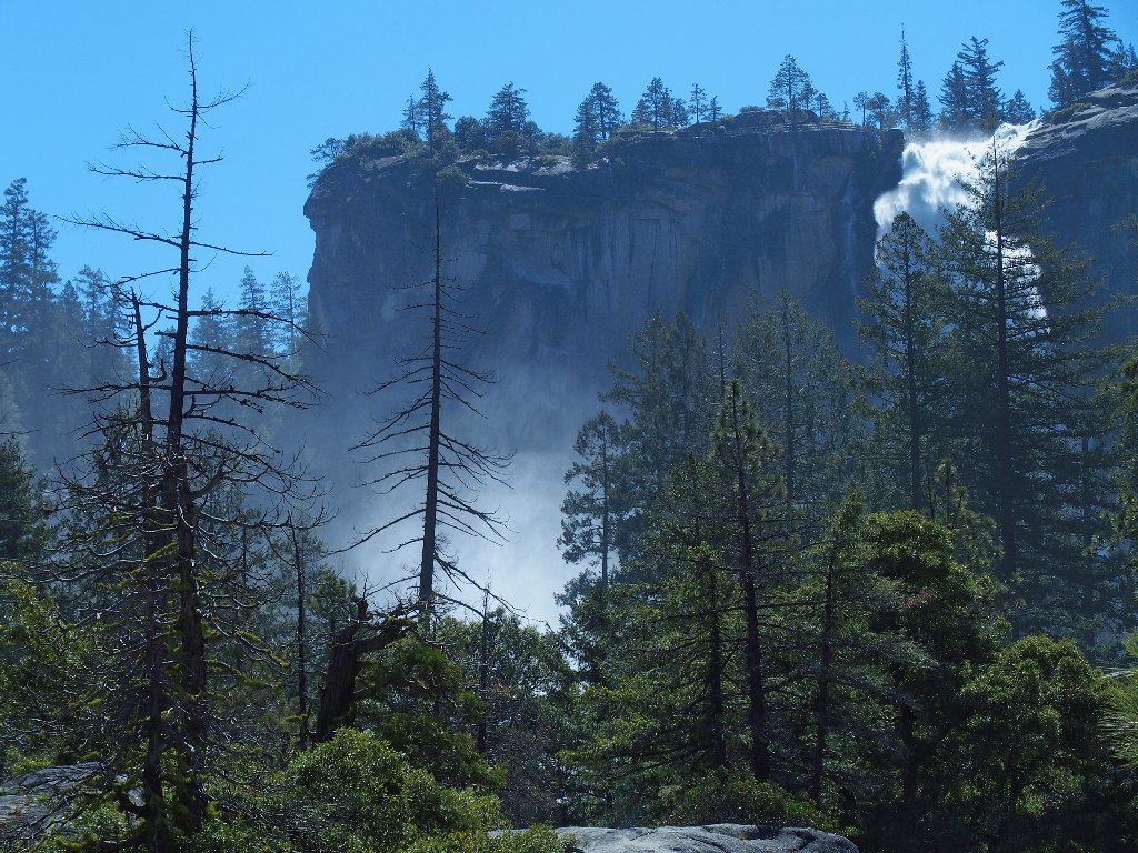
The elusive Illilouette Fall cannot be seen in its entirety from any trail
After three-quarters of a mile of paved walking, the bridge and first view of Vernal Fall appear.
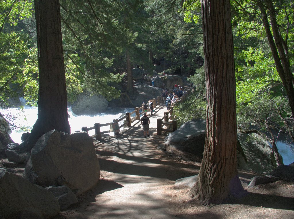
The tourists stop here; the hikers keep going

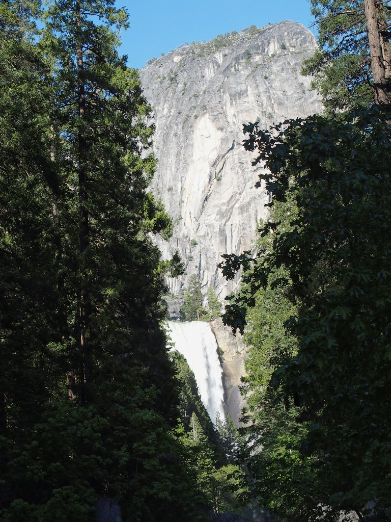
The falls are up there, all right
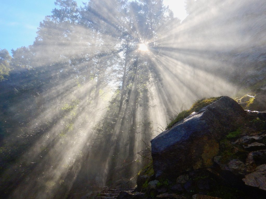
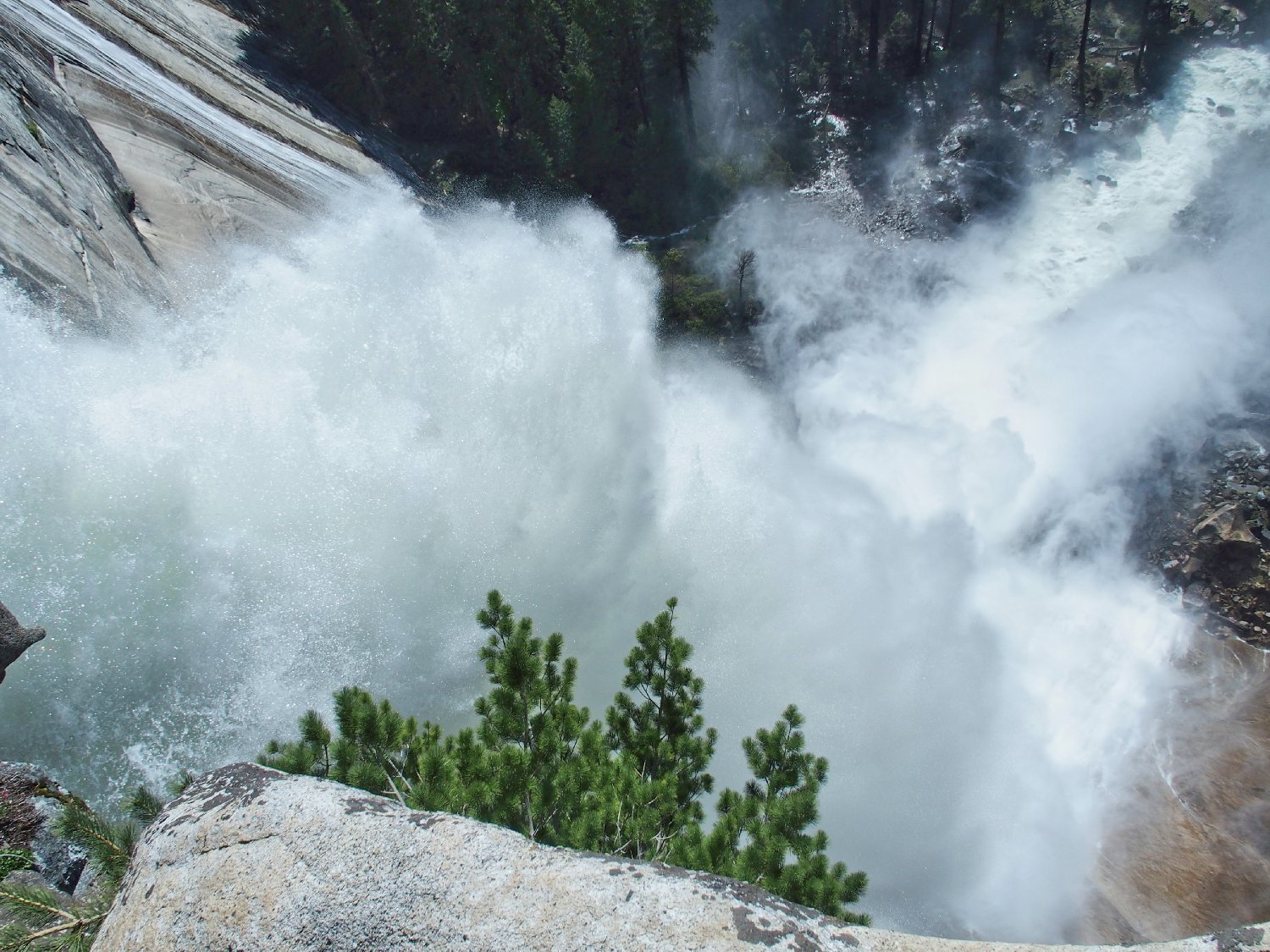
It is time to break out my rain jacket and stash away my sensitive
Stylus-1 camera. A waterproof model will handle the duties from
here to the top of the falls.
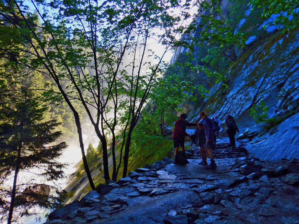
Starting up the Mist Trail
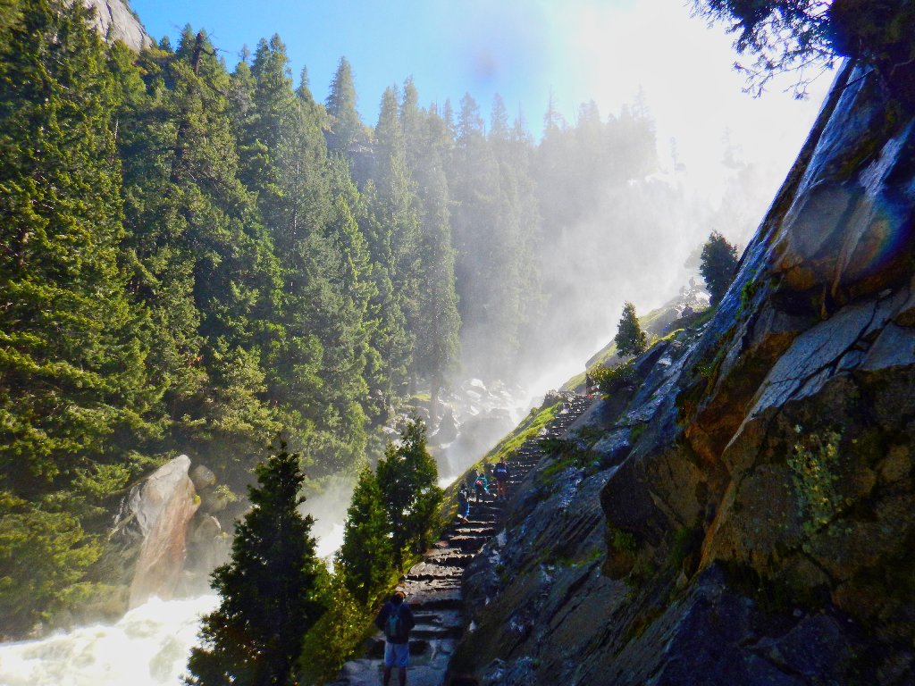
This is exciting
This is wet
As expected, no good view of the falls is available. This route is more scenic (and more enjoyable) at lower water levels when the spray is not so dominant. I do manage some decent photographs, though; so my most favorite place does not let me down today.
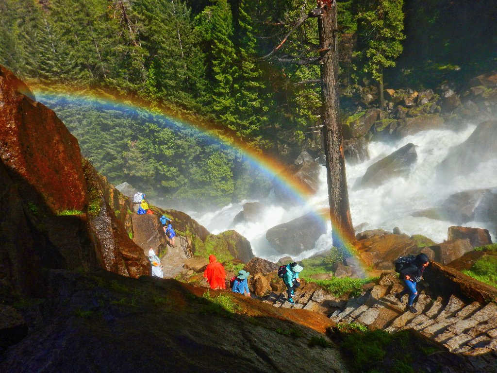
Serendipitous nostalgia: my late wife's ashes are resting
right at the base of that rainbow.
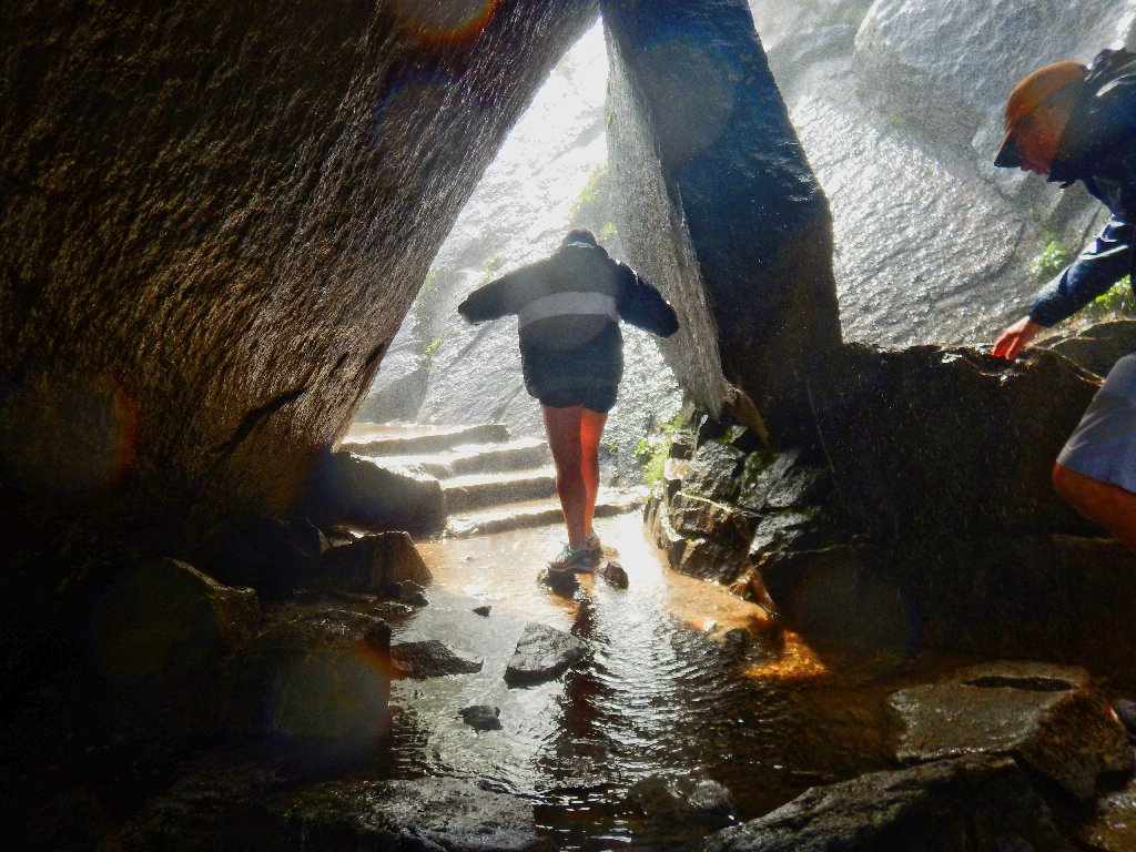
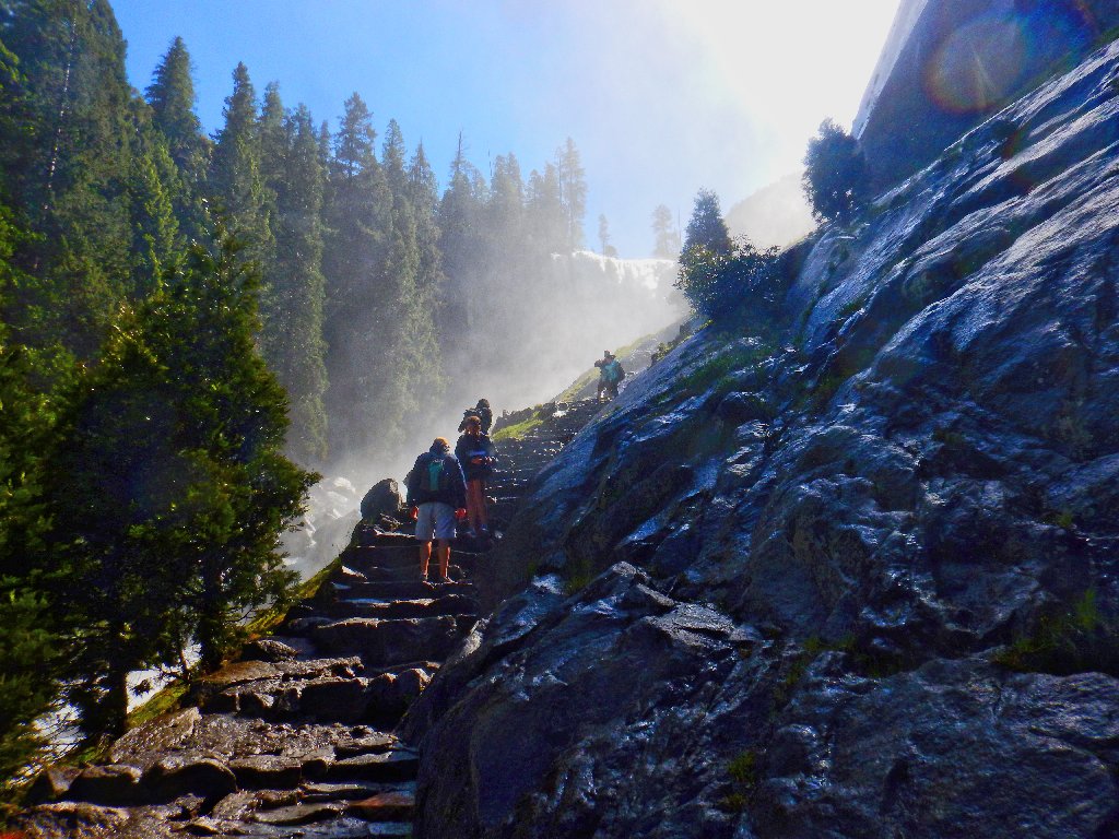
The coldest and wettest part of the trail
Sp(rays)
There is nothing for it but to continue up the 600+
stone steps to the brink of the falls.
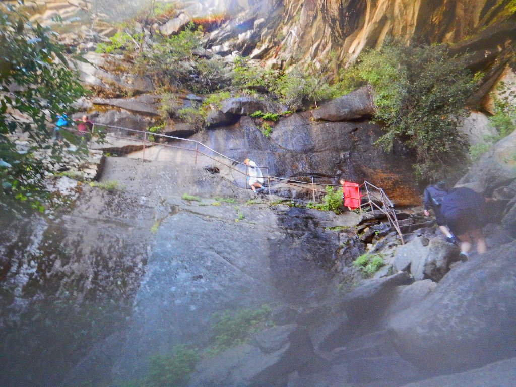
The final ascent
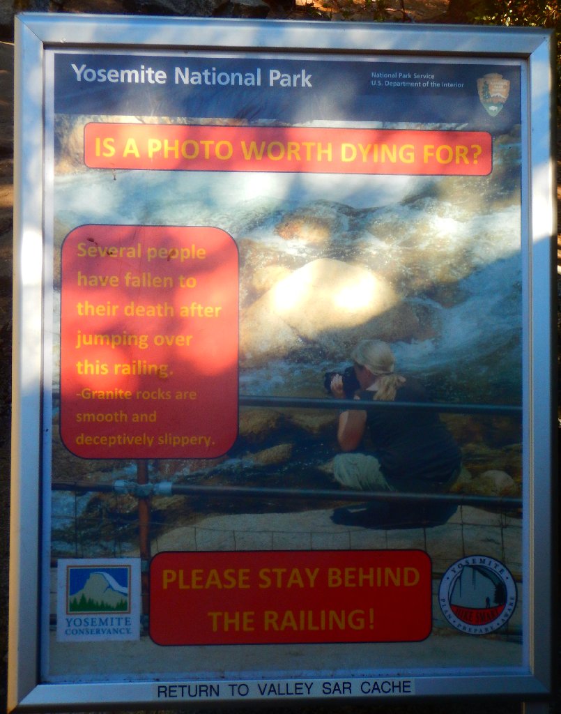
This relatively new signpost doubtless was inspired by the triple tragedy of 2011
The Drying-out Rock
The Silver Apron is not silver today
The Emerald Pool is discolored as well
Delaying here just long enough to pack up my rain coat, I press on. At the next bridge, I chat with a couple of men, informing them of my plan to climb that big granite monolith over there. They nod their heads and smile.
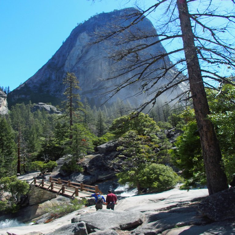
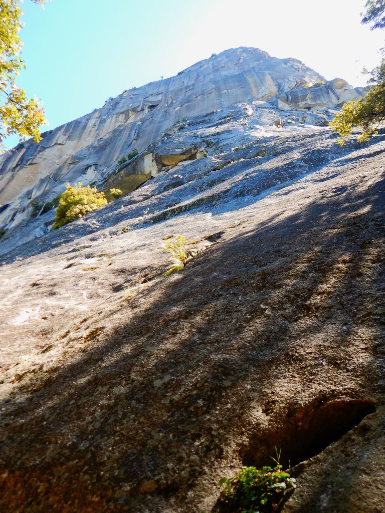
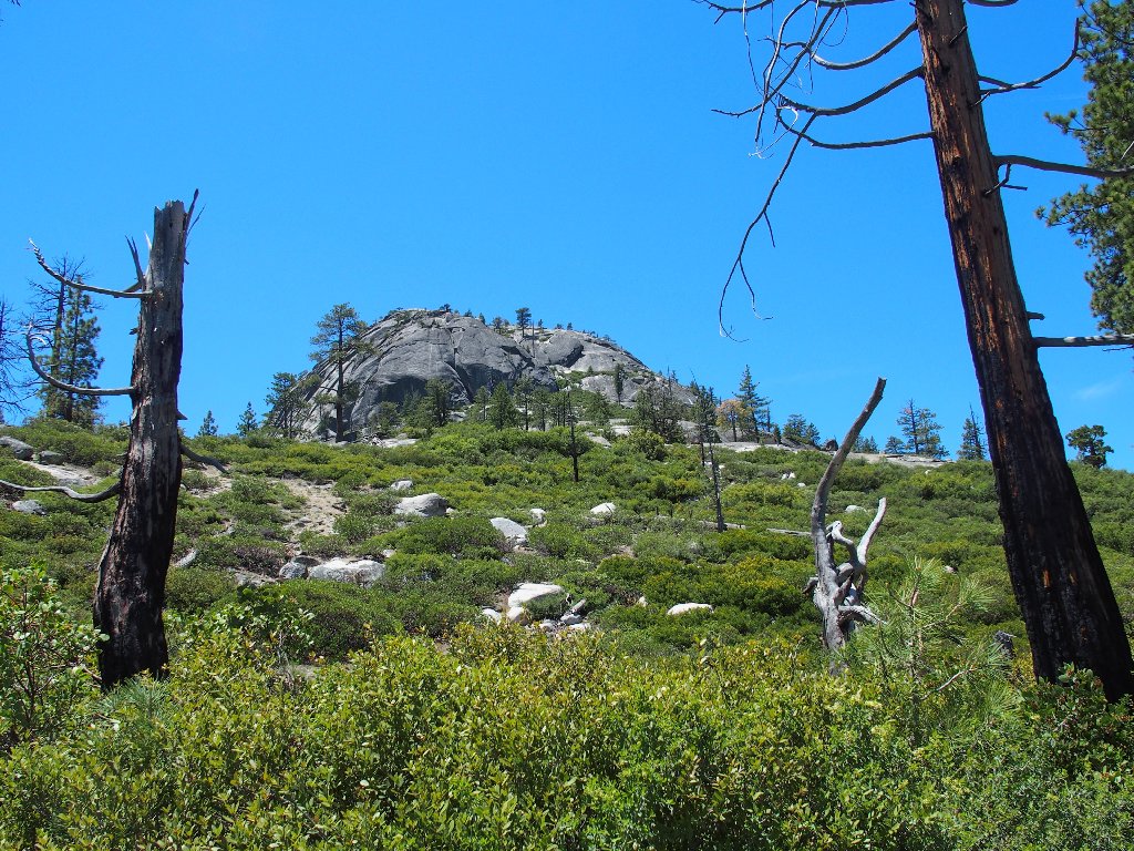
My destination dominates the skyline
Looking downstream
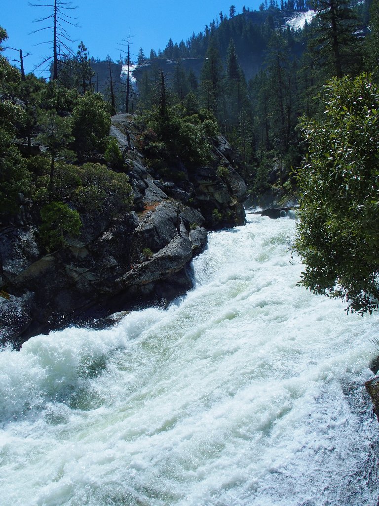
Looking upstream
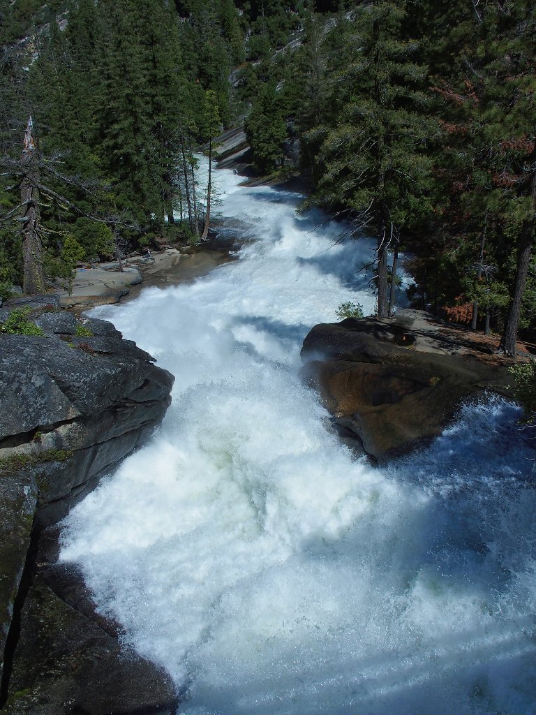
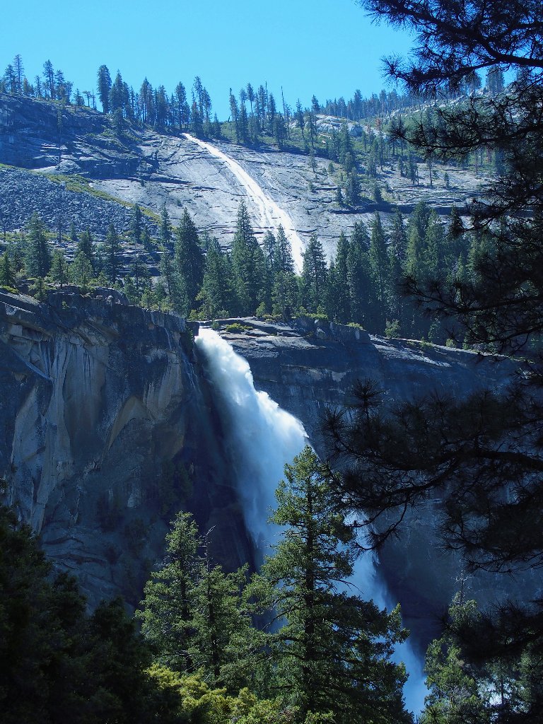
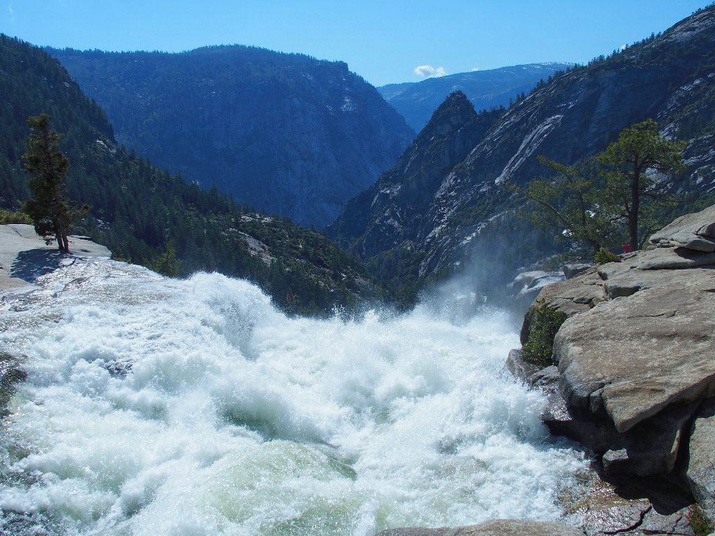
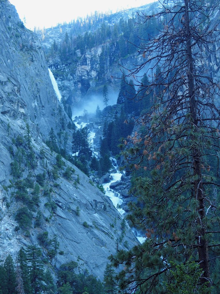
Nevada Fall is causing a commotion of its own
It looks as if I might have to get wet again. Pshaw.
It's time to put the poncho back on, in this feel-good place
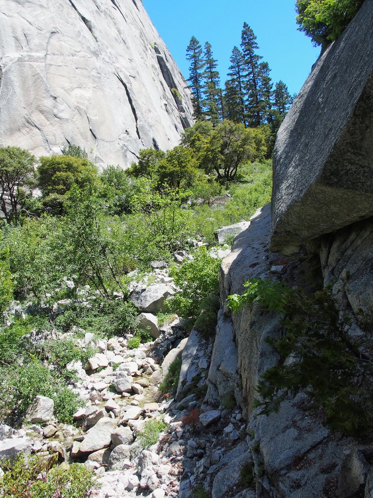
Within just a few minutes, however, I find the use trail that I was looking for, heading westward along the base of Liberty Cap. A decision must be made.
I'll follow it for a while and see what happens
I had not expected to be going downhill at all
This route certainly seems doable, so I might as well stick with it. After all, that was the master plan.
Almost to the gully
At some point I glance back, and what I sight I behold:
An unanticipated bonus
Of course, one cannot get this particular view of Nevada Fall from any other vantage point. This is wonderful.
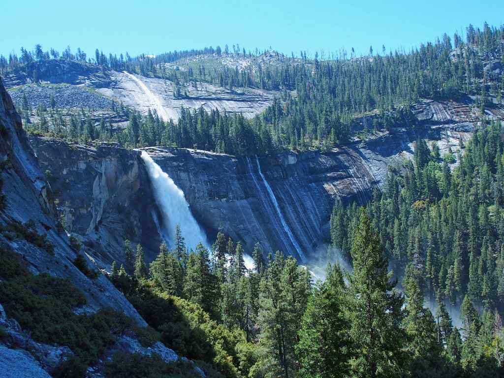
Very few ever enjoy this particular scene
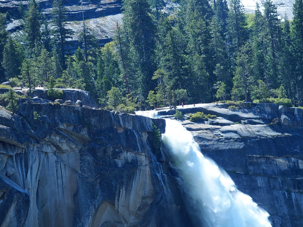
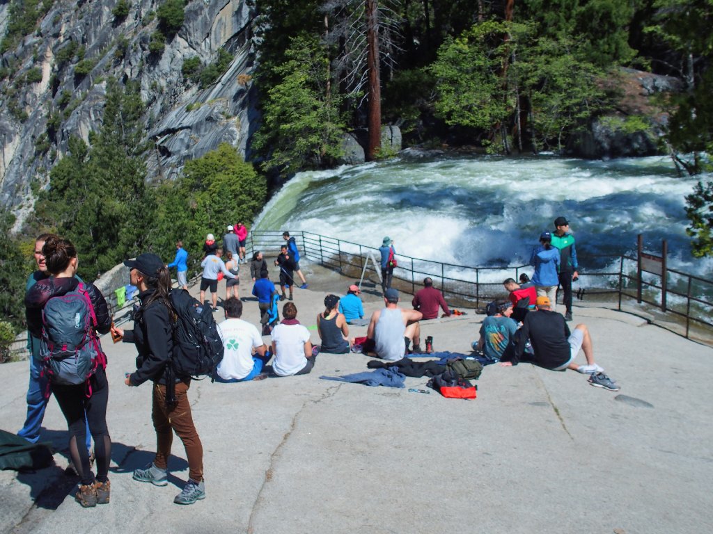
There are plenty of visitors at the top
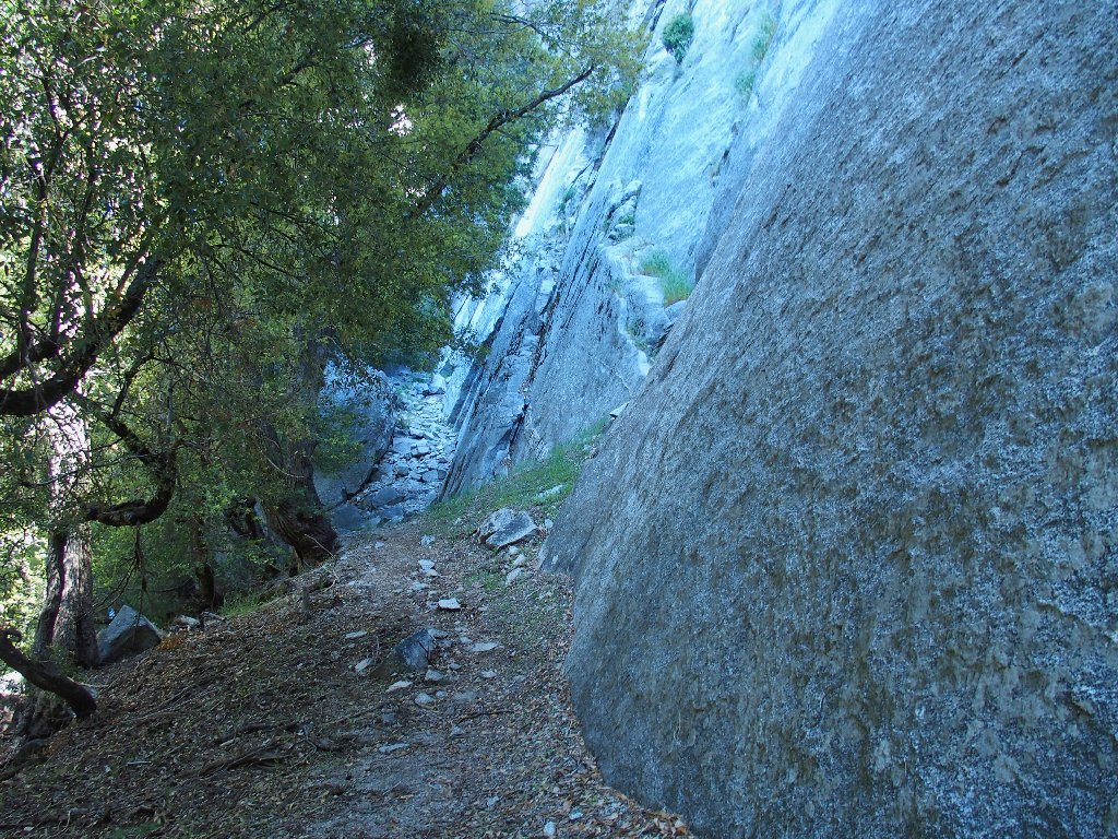
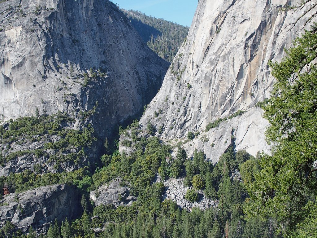
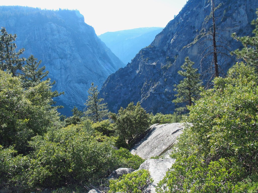
My route enters the canyon well above its bottom.
Eventually I get cliffed-out, and must backtrack a
bit to find a way down that had been missed.
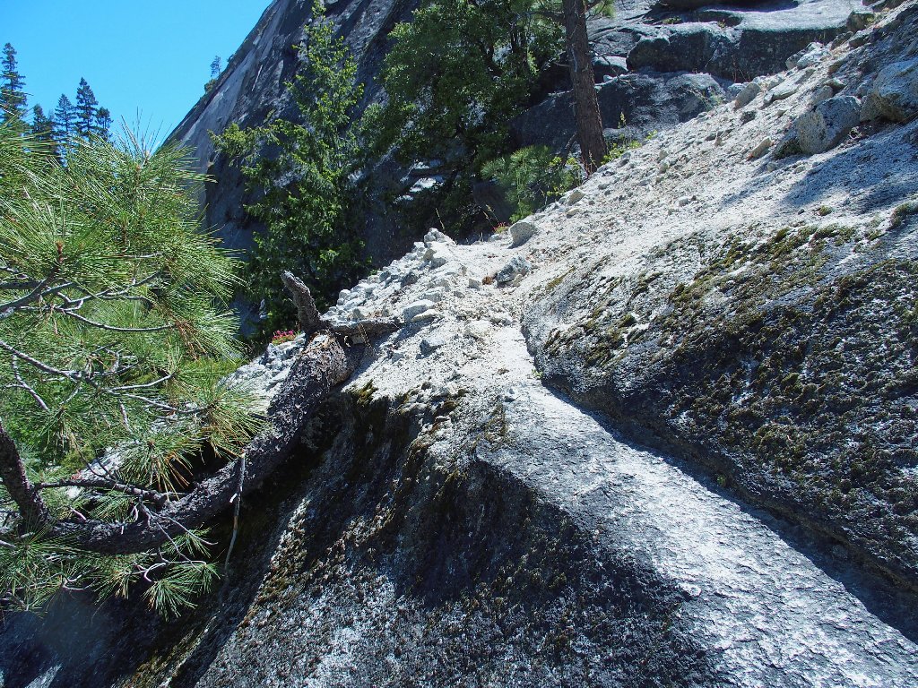
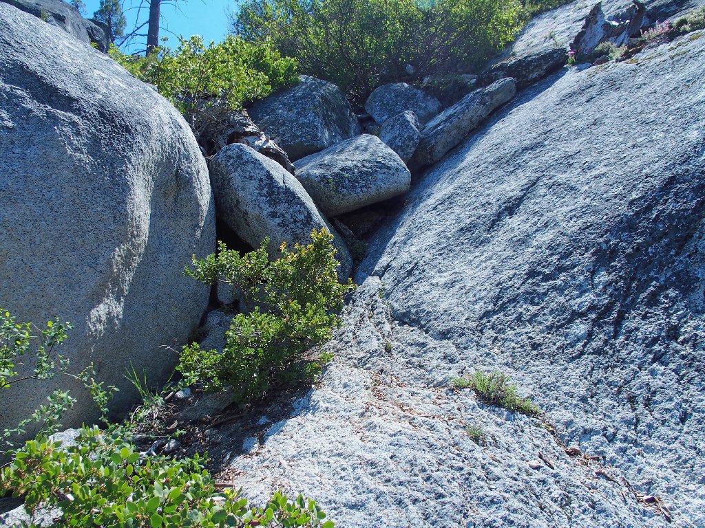
The route can be obscure
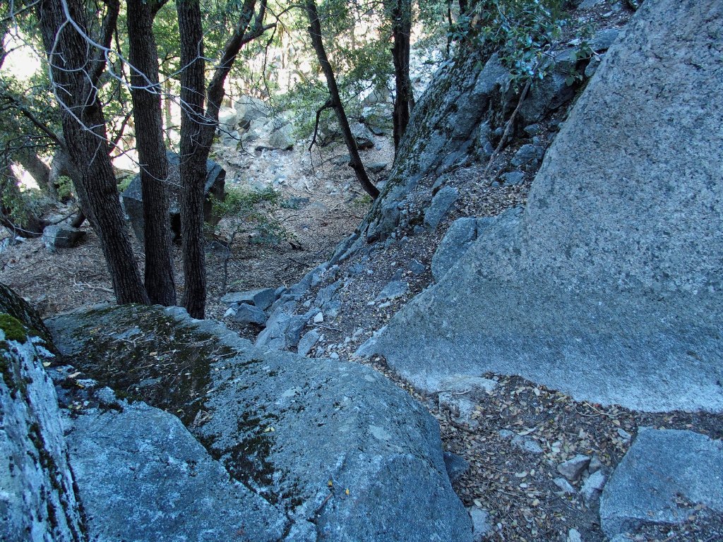
West Gully
There is very little in the way of soft ground around here, but there are a lot of fallen logs and scree to clamber over.
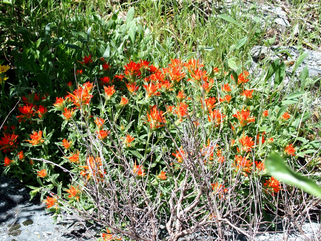
Wavyleaf Indian Paintbrush
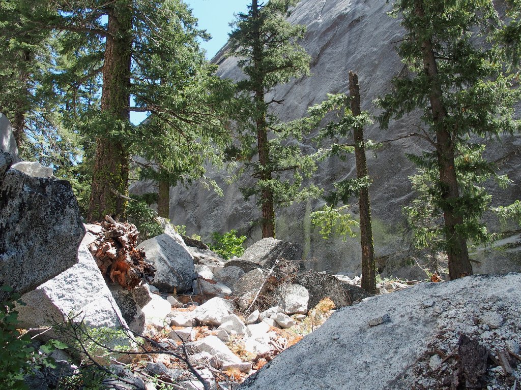
Non-stop boulder-hopping
The total climb up this gully will be about 400 feet. By the time I am finished, it surely will feel like more.
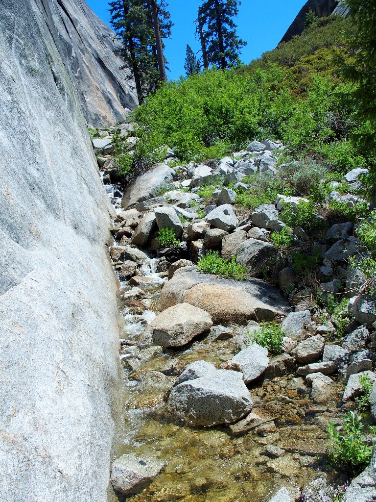
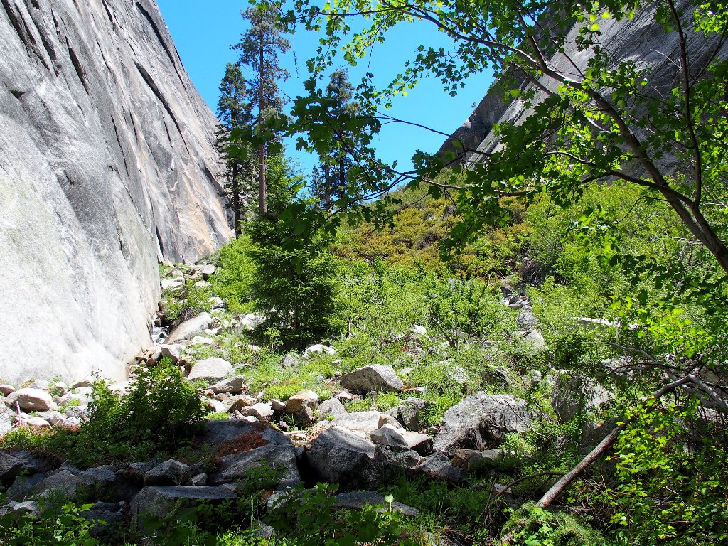
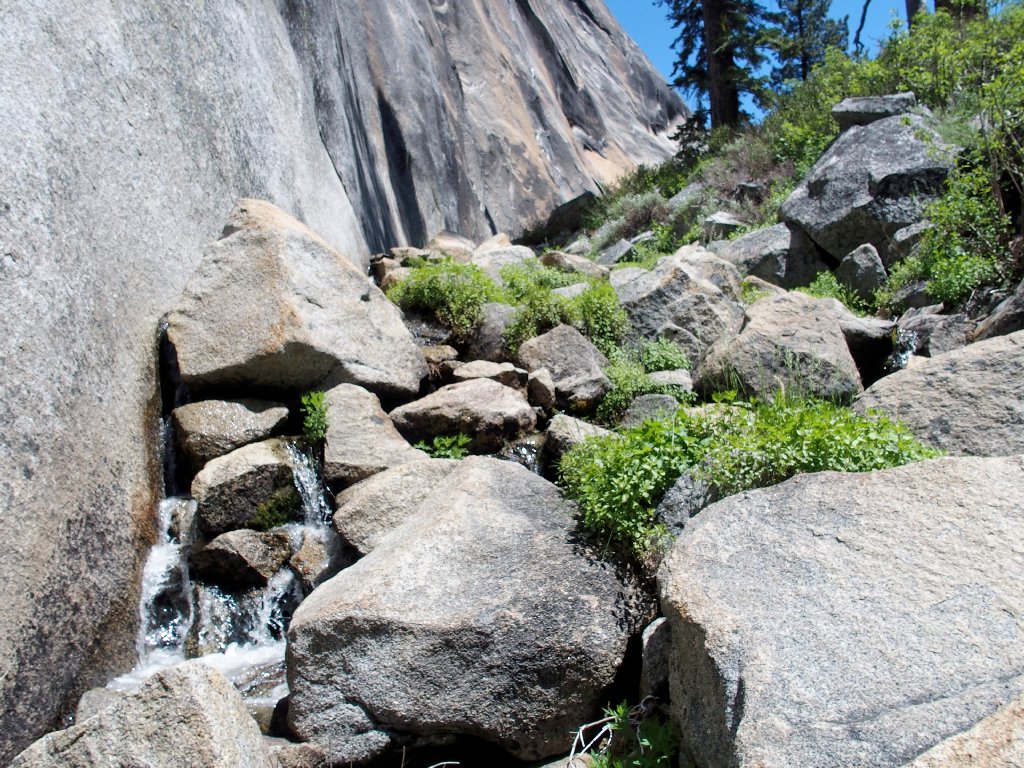
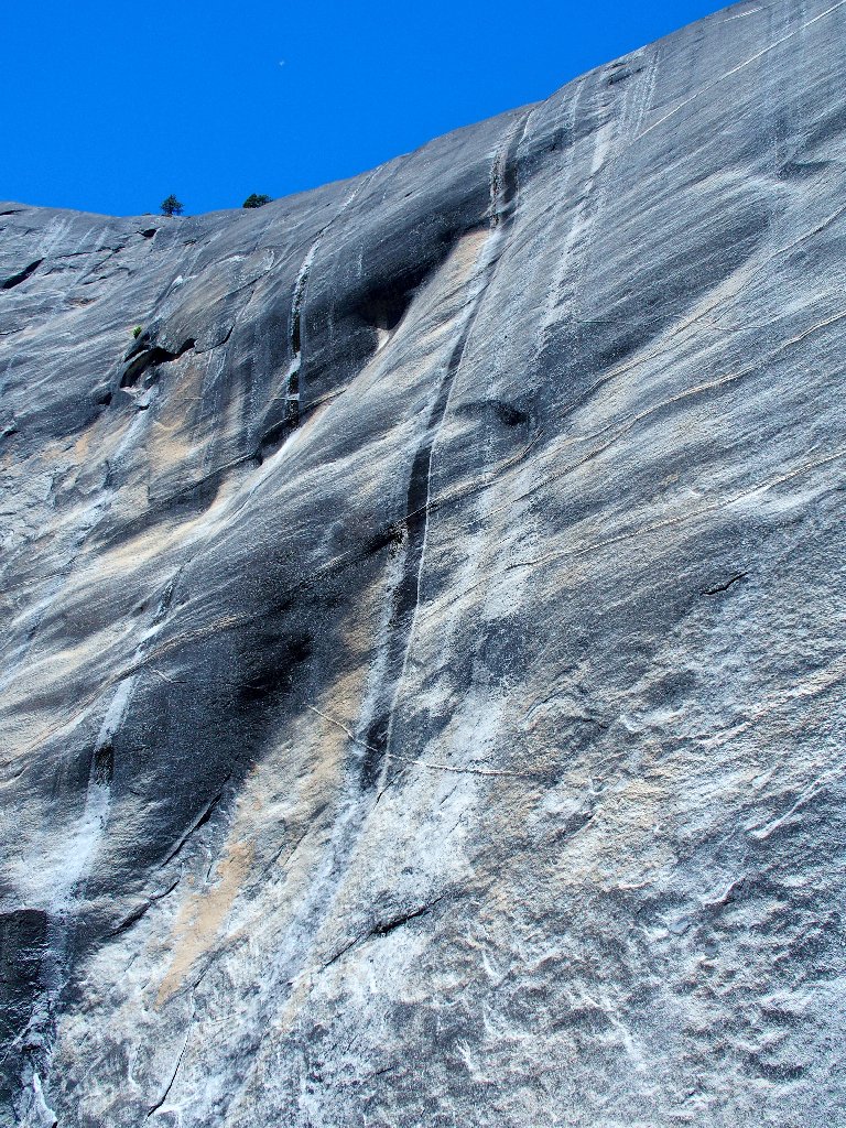
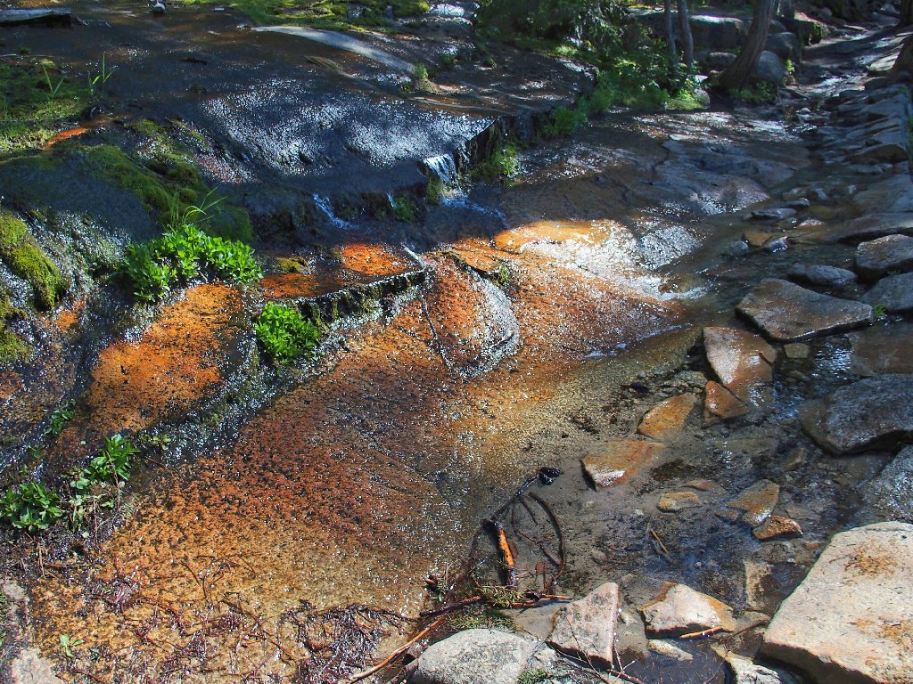
The unusual cliff-side creek is delightful
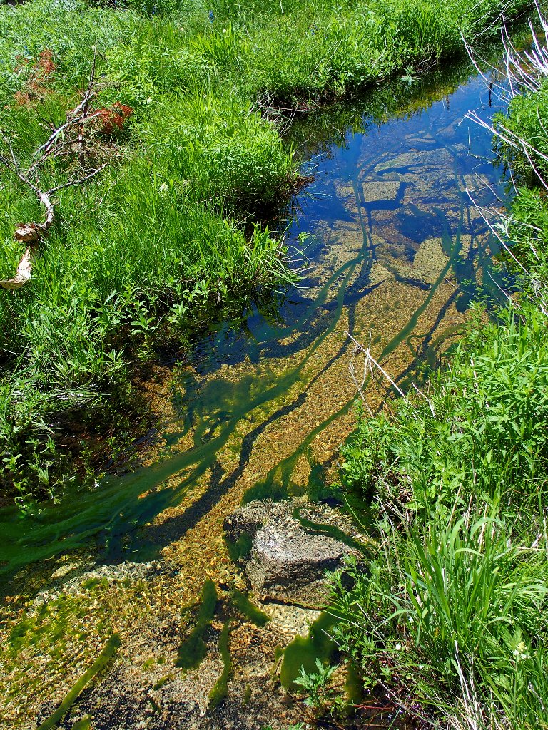
The undulating strands of green stuff are 20-30 feet long
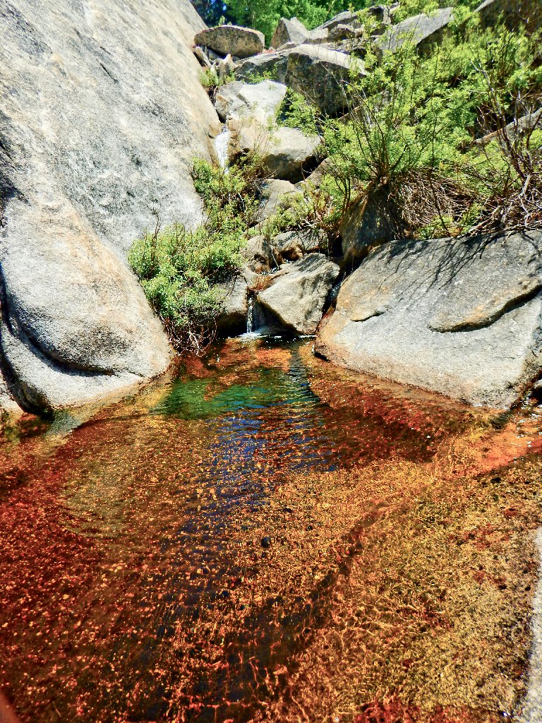
Color in the creek
The task ahead
The western wall of the gully is Mount Broderick
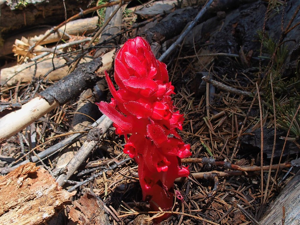
This camera stops for Snowplants
At one point I must ford the creek three times on logs within just a couple minutes' time.
Nearing the top of the gully
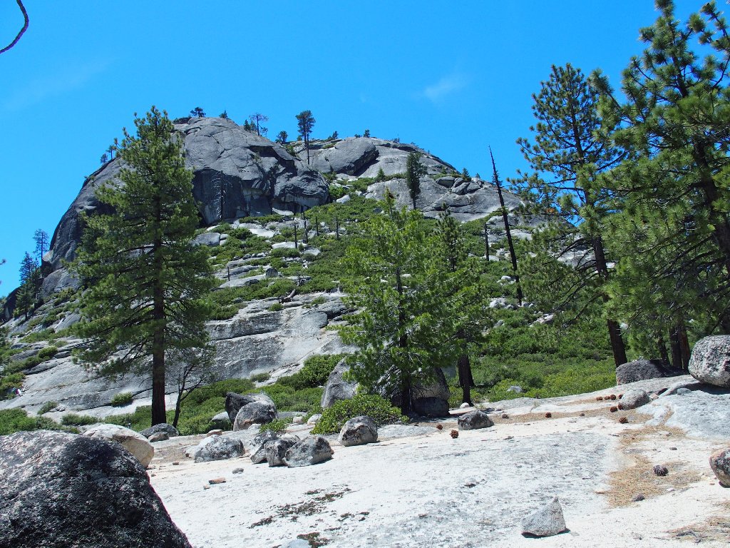
At the edge of the forest is an easily followed trail used by adventuresome souls to access Snake Dike or the Diving Board. Before long, though, I strike out up the slope to the right; for that's where my hilltop is.
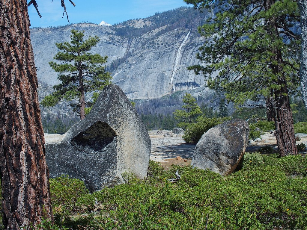
First view of the north face of Liberty Cap
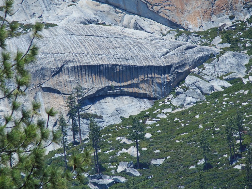
The scenery in another direction is fascinating:
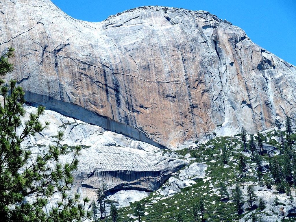
Close up, the back side of Half Dome is every bit as interesting as its face
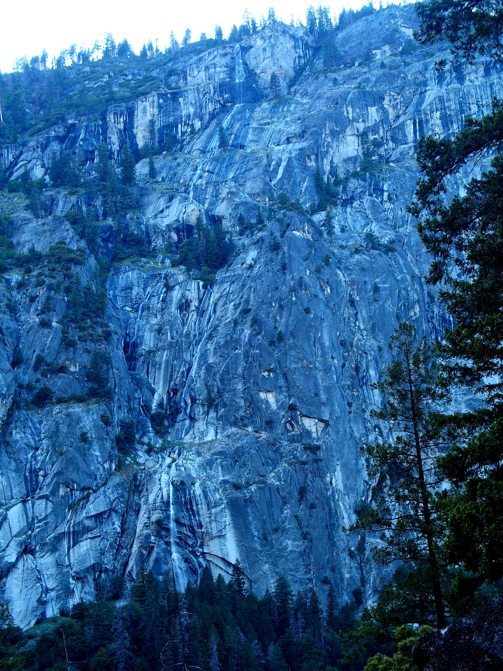
That's the little-known Chain Cascade, 1150'
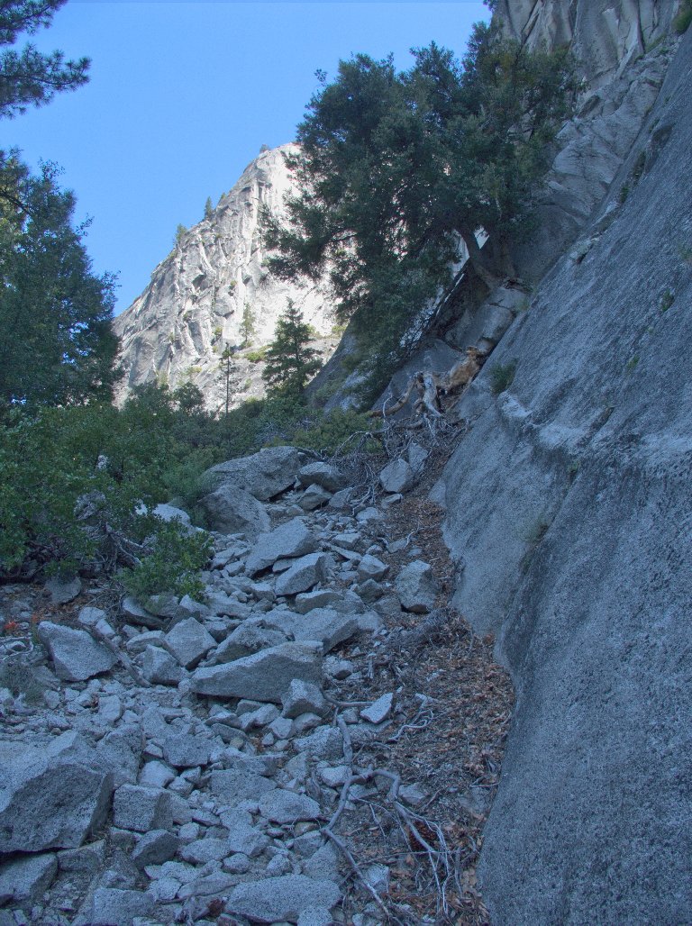
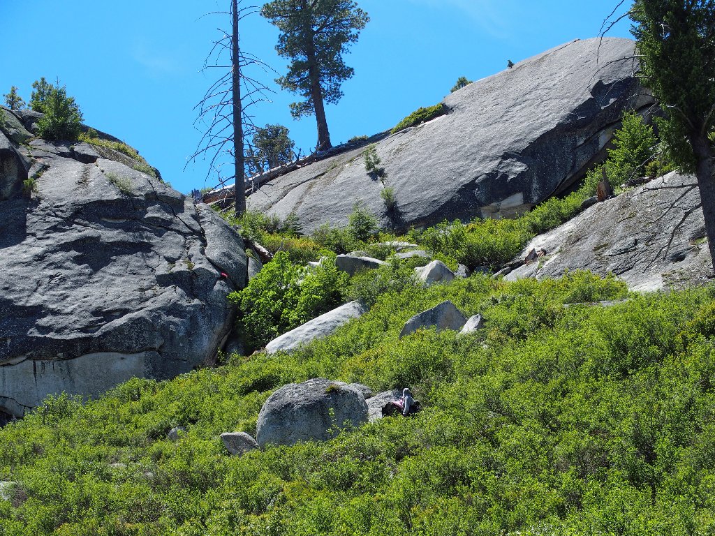
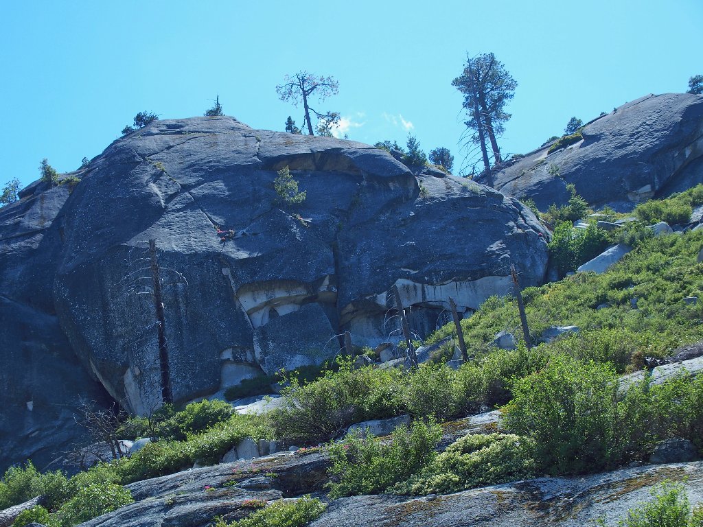
I still have not actually committed to an ascent of the peak. The route is looking quite a bit less friendly than had been suggested online; also, I already have climbed 2,400 feet, and the rigors of the gully scramble have taken their toll. This is what I came here for, though; and if I don't do it today, it still will be on my bucket list tomorrow.
The course is not easy, but it is clear
Soon the route degenerates into tiny, occasionally obscure pathways among
the manzanita bushes, some of which feature hands-on scrambling up several
feet of rock. Every so often a little cairn appears, reassuring me that some
other crazy person has been here as well.
Presently I hear voices above. Other crazies are here right now!
Another couple is coming down
I chat with the man and woman from San Jose, and they graciously offer me some beef jerky for needed energy. They also tell me about "The Rock" that I had read about. Apparently not everyone is willing to do what is necessary to surmount it. The man describes a "feet above the hands" maneuver as a solution. Well, I don't know much about one of those; but I might find out.

The dreaded obstacle is steeper than it might appear
Getting past that rock is rather more problematical than it might seem from the photograph, for there is no convenient handhold anywhere. After wondering for a time whether to search for another route, I shrug my shoulders and manage to scramble up without much ado after all, and without having to walk upside down.
From here the going remains relentlessly steep. My thighs
are developing cramps, my arms and shins are bloodied from encounters
with manzanita branches, and I am virtually exhausted. A rest
stop is required after every 15-20 feet of climbing.
Perseverance finally pays off, however. After fully five hours of the most diversified and unusual activity in my memory, I am at the top of Liberty Cap; and what a treat this is!
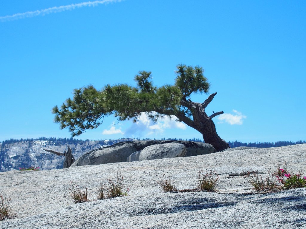
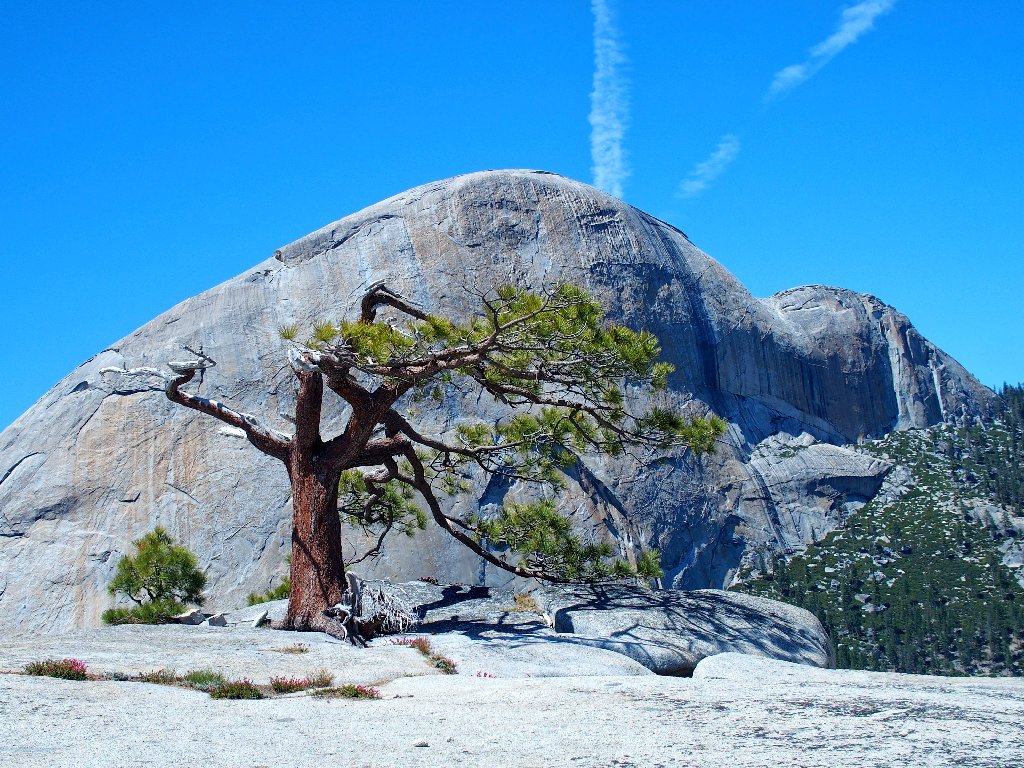
Reminiscent of the beloved jeffrey pine that formerly capped Sentinel Dome
360-degree views don't get much better than this one:
Mount Florence, 12569', in the distance
Not your everyday view of Half Dome, 8839'
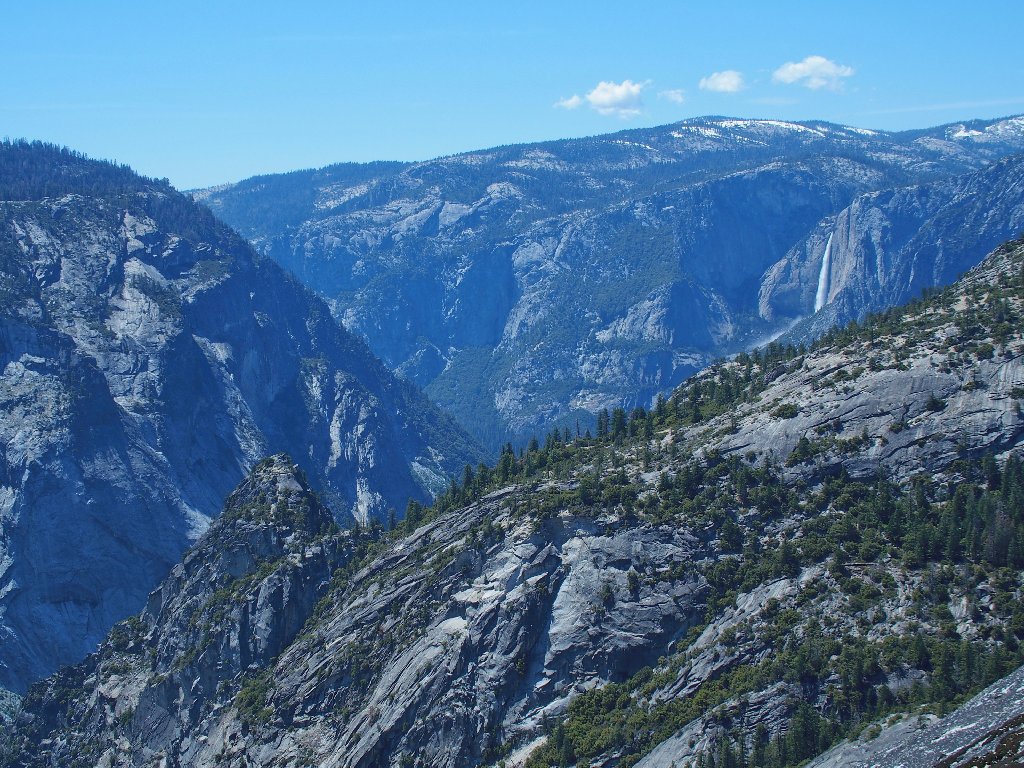
Upper Yosemite Falls, 1430'
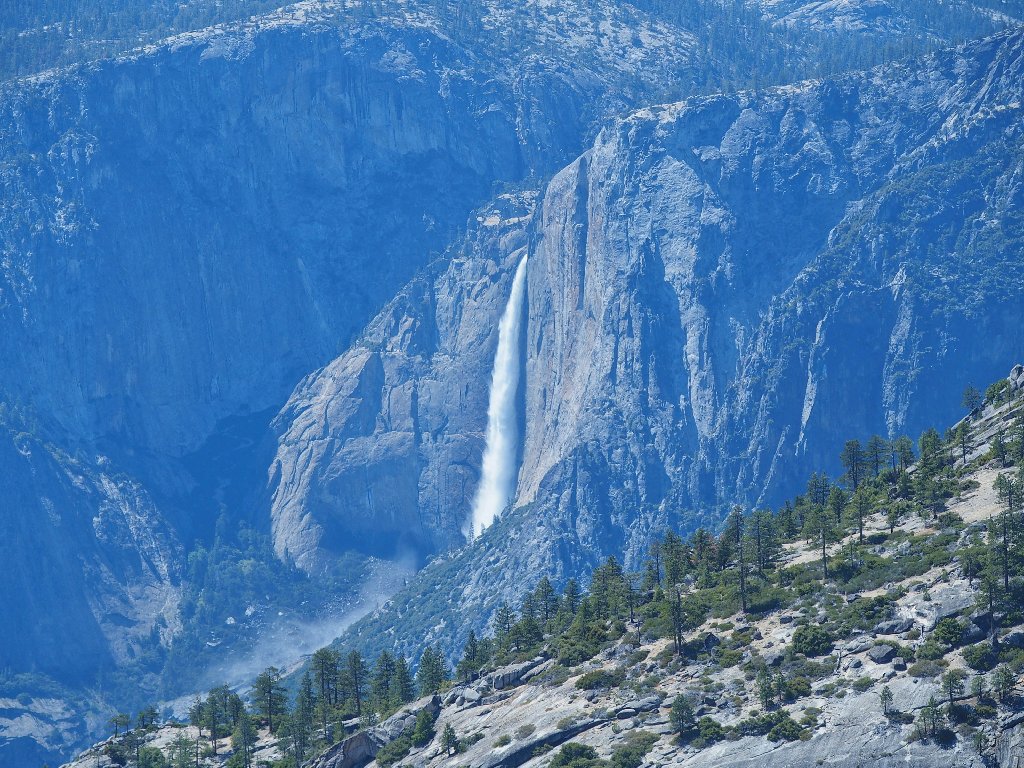
Telephoto view
Knowing that I should be able to get a glimpse of what is directly below,
I work my way down to the precipice of the 1,200-foot sheer cliff that
everybody sees from the trails. Surely enough, a glimpse is about all that
I can get without dangling my feet over the edge, which I might have done sixty
years ago; but life seems more precious now.
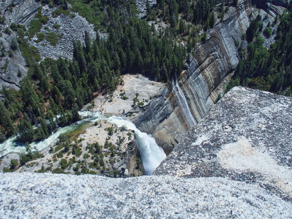
Not your everyday view of Nevada Fall, 594'
There is a single big boulder resting right at the edge of the dropoff here. Crouching behind it for safety, I extend an arm out to one side with the camera so as to try to get a better photograph. A selfie stick would come in handy right now, but I don't own one of those.
That's more like it ⇔
There is plenty of activity across the canyon on the John Muir Trail, which was blasted out of solid granite in order to accommodate wagon travel. Its designer's plan was to lure tourists up to a fancy hotel at the northern base of Half Dome; but cost overruns ate up the available funding, and the enterprise failed.
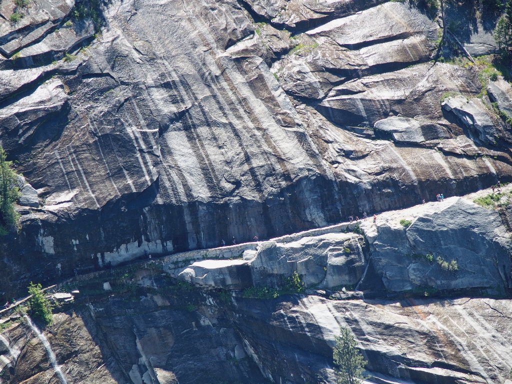
Such an engineering project never would be considered today
Wandering a bit to the west on this summit slab, I find another little boulder right at the edge of the cliff; it serves as yet another safeguard between myself and a big plunge, as I peruse the activity over at Vernal Fall. I could get out my little backup camera, which has a 30× zoom; but I still am too bloody tired even to remove my pack. Besides, there is a breeze up here now, and it is making me somewhat uncomfortable on this precarious perch.
The falls are 2,000 feet below
Well, now that I am up here, how am I going to get down?
It will be three thousand feet of descent over about six miles yet,
and I am quite short on energy at the moment. Visions of crawling
down the JMT in the dark cross my mind, but maybe it won't actually
come to that. The leg cramps that had threatened earlier have
subsided, so perhaps all that I really need is some rest —
and some water. I haven't much left.
The Dreaded Rock proves not so tough after all
This time, I merely sit on the granite slope and slowly slide down the last eight feet. Piece of cake.
Nice
It takes the better part of an hour to get down through the horrid manzanita patch, but now the worst is over. The bloggers who say that this route is "pretty easy" are just blowing smoke, because it is not.
Farewell; I probably won't be back
As I angle generally eastward, another hiker suddenly
appears. He asks about the climbing conditions, claiming
that he has to get back down to the valley today.
After hearing that I must do the same and then drive
200 miles as well, he continues up the mountain.
Been there, done that
After finally accessing the Half Dome Trail near the Little Yosemite Valley junction, I must scamper yet another mile down to the river crossing. At least I will be on a real trail for the rest of the day, and in familiar territory.
Approaching the falls
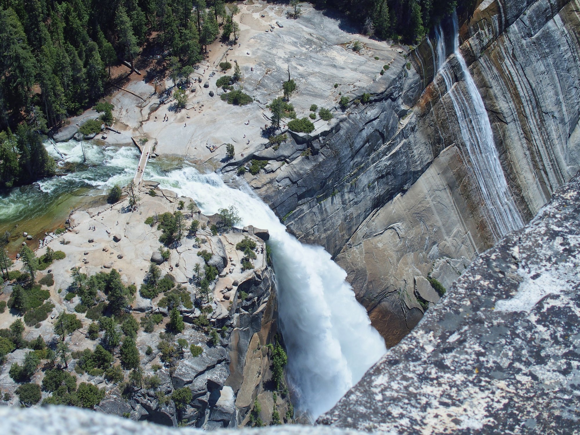
Naturally, I cannot forgo the short detour over to the overlook at the brink of this thundering cataract; for it is both stupendous and unique.
To my knowledge, one cannot get a view like this anywhere else ⇔
No swimming here
I really do need some water. Having underestimated the rigors of
this outing, I foolishly didn't bother to pack my two-ounce water
filter; so I've no option but to fill up from a little spring after
starting along the John Muir Trail.
I don't see any bad bugs in the water
It always is refreshingly wet over here, but this is unusual
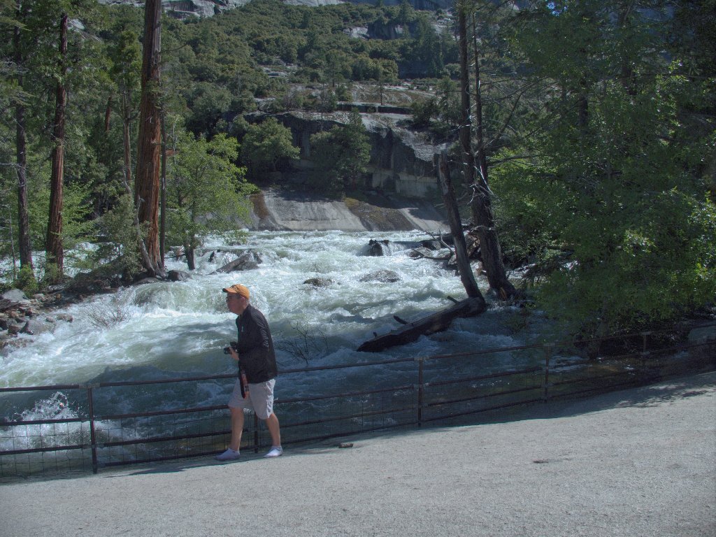
It is impossible to pass by that waterfall today without getting dumped on,
so I break out my waterproof bag and stash my camera briefly. Three to
four inches of water are running right down the trail for a time, before finally
finding a drain-hole in the rock wall.
A good spot for a lengthy break
Now that I have enough drinking water, I can stop to finish off the beef
jerky and the rest of my grapes. I am feeling a bit silly over my
erstwhile endurance-related anxieties, because now the remaining four
miles of descent don't rate to be much of an issue. My aged body has met
the challenge, and I won't be needing a headlamp after all.

One of the grandest views in the park — Half Dome,
Liberty Cap, Nevada Fall
Besides, I have another reason to feel especially good right now; for it was at this very spot some twenty years ago that I concluded that I probably would spend the remainder of my days with my new hiking companion, Barbara. And I have.
Sunlight is gone from the West Gully
It is just as well that the canyon route was negotiated first, while it still was sunny in there.
Still a long way to go
I have largely ignored flowers today, being too tired to stop and get down on my knees for suitable photos; yet some are just too nice to pass up.
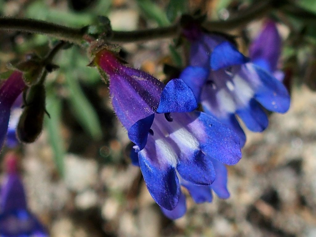
Royal Penstemon
Presently, the two guys I spoke with earlier near Vernal Falls pass by. I point my walking stick up at Liberty Cap and proudly proclaim, "I did it!" One of the men nods his head, smiles, and responds, "So did we".
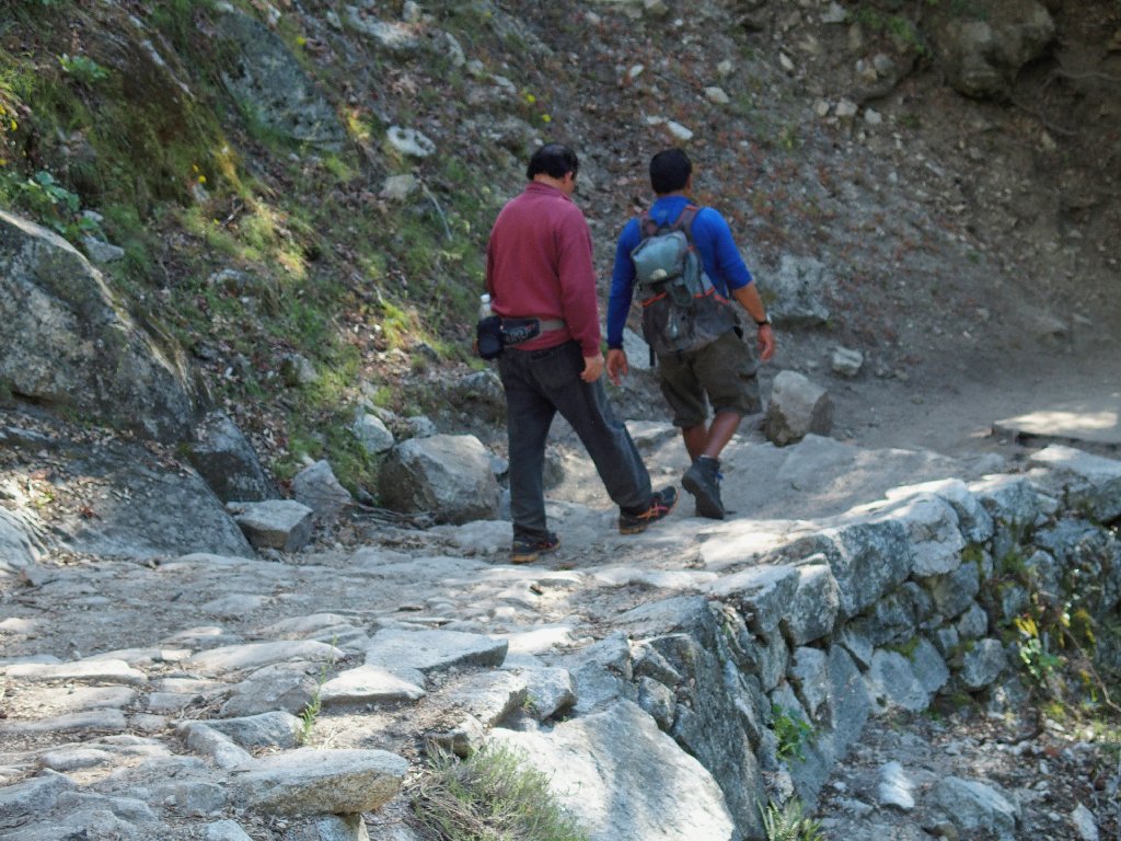
The two guys who did not scale Liberty Cap today
An important trail junction appears. With a somewhat
heavy heart, I uncharacteristically decline to veer back
down onto the Mist Trail. Not only would that option save
even more walking distance than the signpost indicates, but I will miss
a visit to my all-time favorite photo-stop at Clark Point.
I just don't want to deal with all the spray and wet rock stairsteps in my present condition. I can revisit Clark Point at a more suitable time.
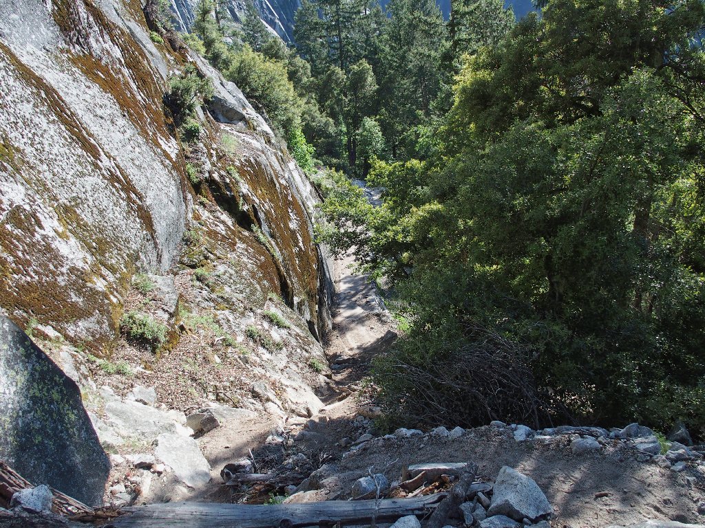
Many switchbacks on this section
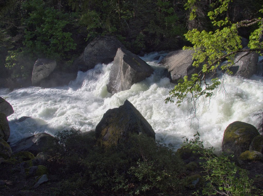
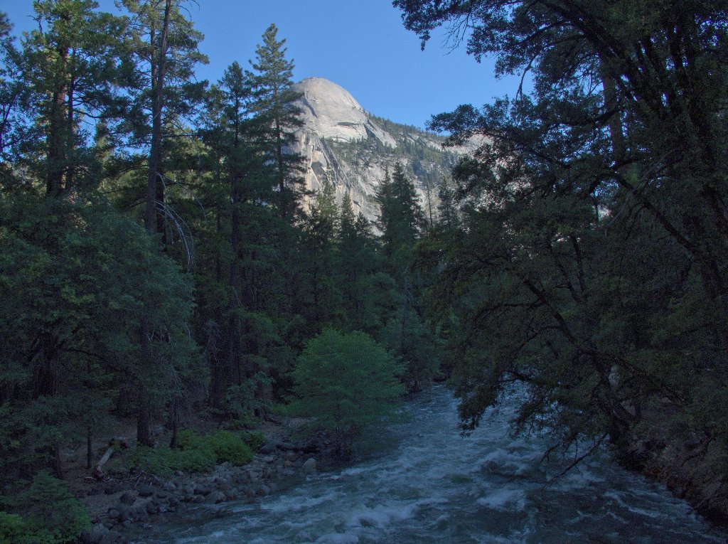
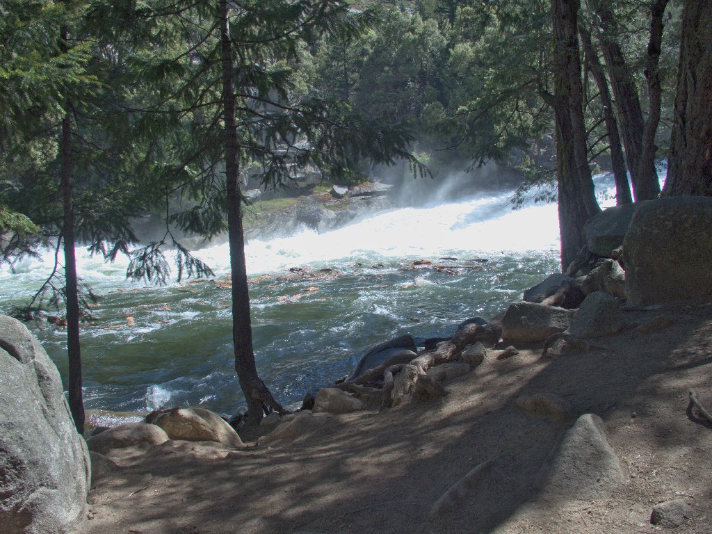
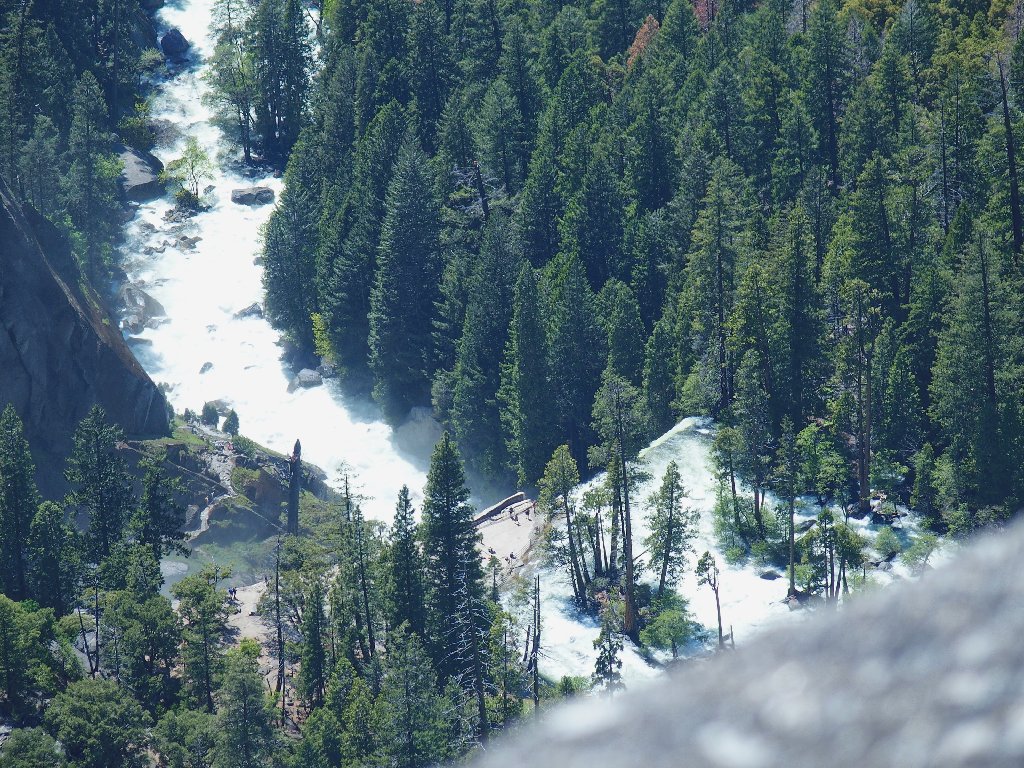
Merced River
Arriving finally back at the big bridge, I guzzle my fill from the drinking fountain. All walking will be on asphalt from here on.
I'll be back
There is a lovely ephemeral cascade across the way, coming down from the vicinity of Washburn Point on the Glacier Point Road. For lack of a name, I'll assign one:
Washburn Falls cascades for 2,000 feet ⇔
Illilouette Fall is but 370' high
Once back at Happy Isles, it still is a 15-minute walk to the Wilderness Parking area, where I discover an unprecedented sizable blister on my right foot. I really must start carrying some extra dry socks if I intend to persist with these marathon outings.
On the way out of the park, I must of course make the
obligatory photo-stop at this great time of day:
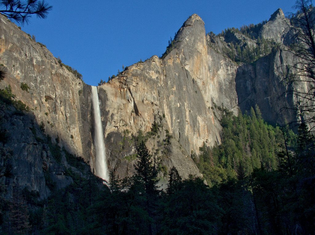
Bridalveil Fall, 620'
§: Well, despite this being my roughest and arguably toughest outing
ever, I survived with little more than an easily avoidable blister to show for it.
When describing the day to My Barbara, she just said, "Oh, a Ted-Hike";
and she was right. I was merely doing the off-trail things of which I am
so fond, albeit to a greater degree than usual.
My ten hours on the trail constituted a personal record-length outing,
and my return home at 11:15 p.m. made for a 19-hour day, also a record;
but it was worth it. Waterfalls and successful cross-country ventures
do count extra with me. I could not recommend this adventure more highly.
| Scenery |  |
| Difficulty | |
| Personality | |
| Adventure | |
| Solitude |  |
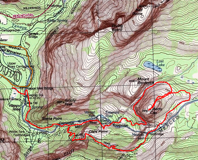
The route (clockwise loop)
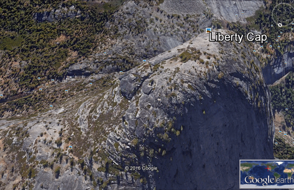
An aerial view of the summit climb, looking east

ADDENDUM
Just one day after my 3,000-foot 'free-climb' (no ropes!), Alex Honnold did the
first-ever solo free-climb of El Capitan, also 3,000 feet and in
less time to boot. If only my thumbs were stronger...
And three days after that, a man and a woman ascended El Capitan naked!
They used ropes, though, and it took them twelve hours; and they never would have
survived the manzanita jungle on my route! Remarkably enough, on that same day,
Alex Honnold, together with Tommy Caldwell of Dawn Wall fame,
re-conquered El Capitan in less than two hours — their fourth new
speed record in a week's time.
And that's why National Geographic sponsors them instead of me!
