
Tahoe National Forest
|
Donner Peak & Mount Judah Tahoe National Forest |
September 8, 2016
I came up here to hike a couple of weeks ago, but I was put off by the rotten
air quality that I elected to tour the graffiti-laden railroad snowsheds
instead. The sky isn't particularly appealing today, either; yet I am
committed to this walk.
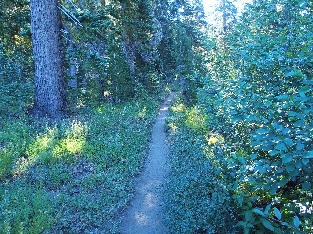
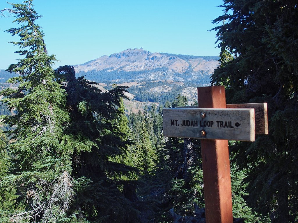
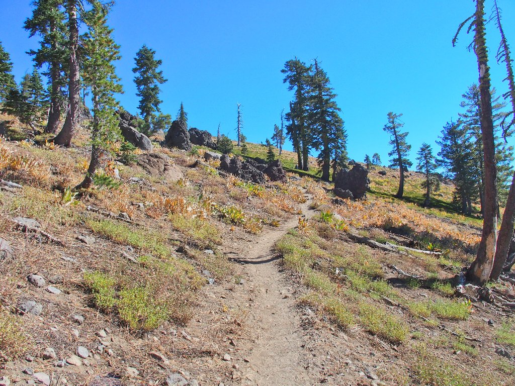
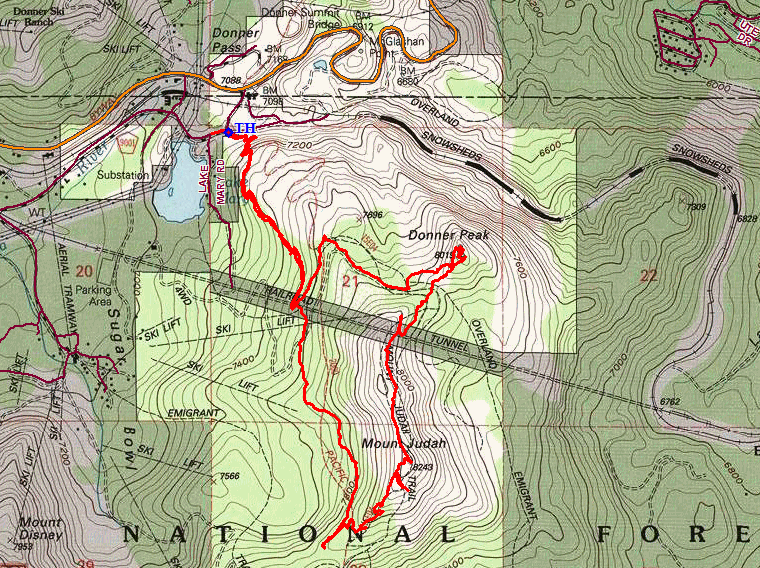
The loop starts on the Pacific Crest Trail
It is only 8:30 in the morning; so I don't expect to have much company, at least for a while.
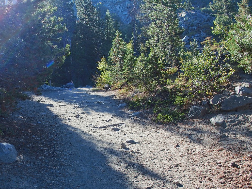
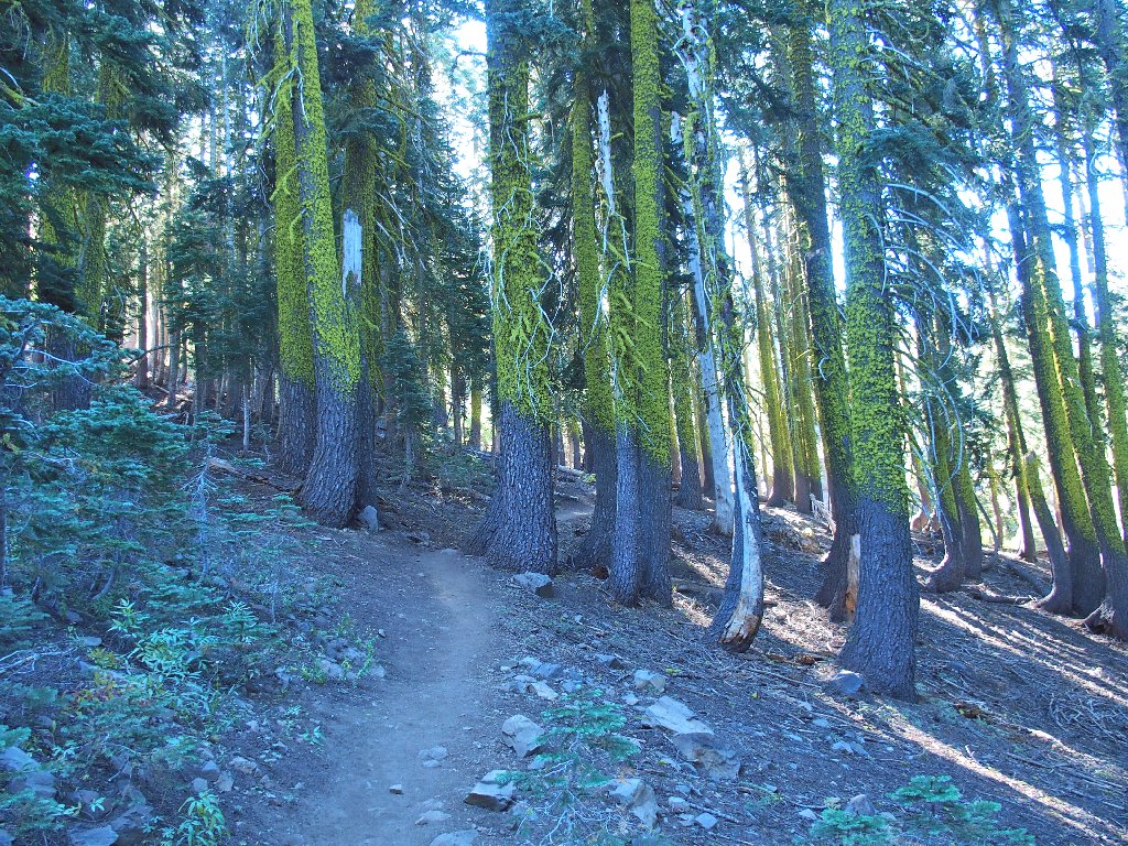
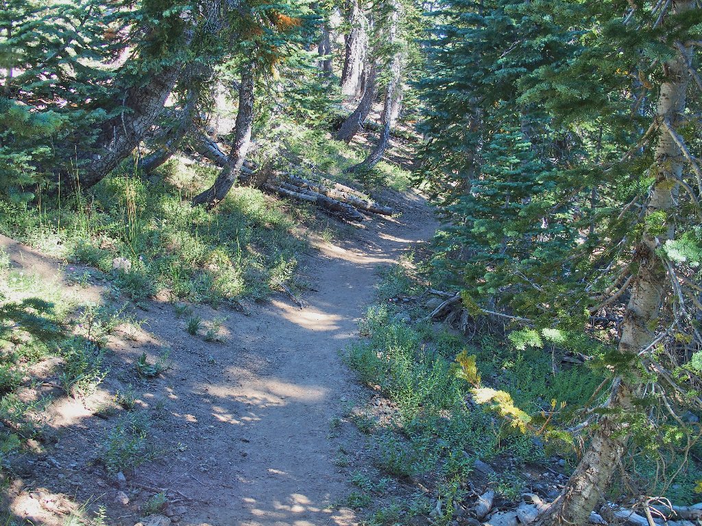
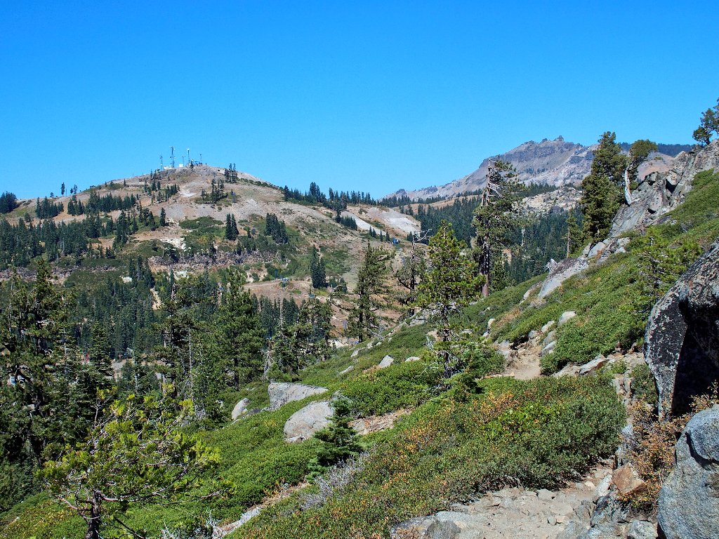
This little area is unexpectedly verdant
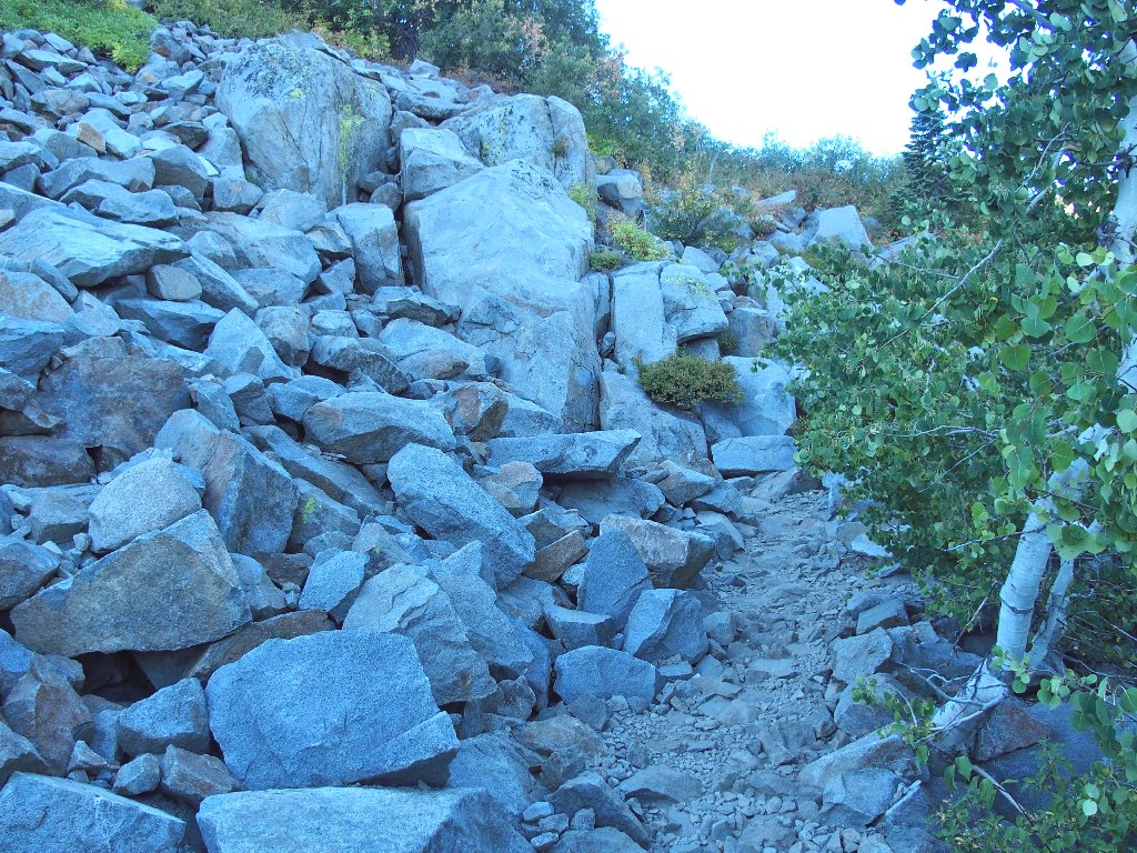
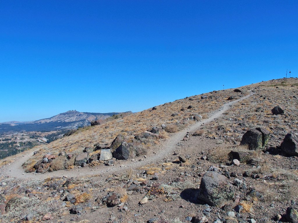
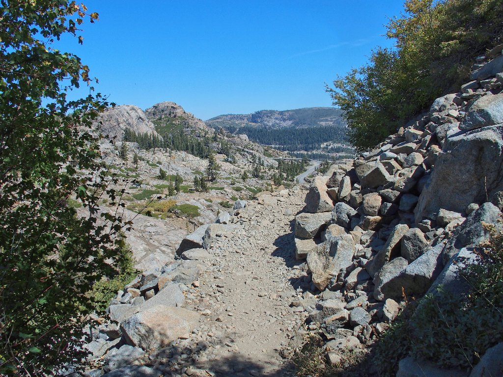
Right away, the trail becomes a boulder-infested series of switchbacks up a talus slope.
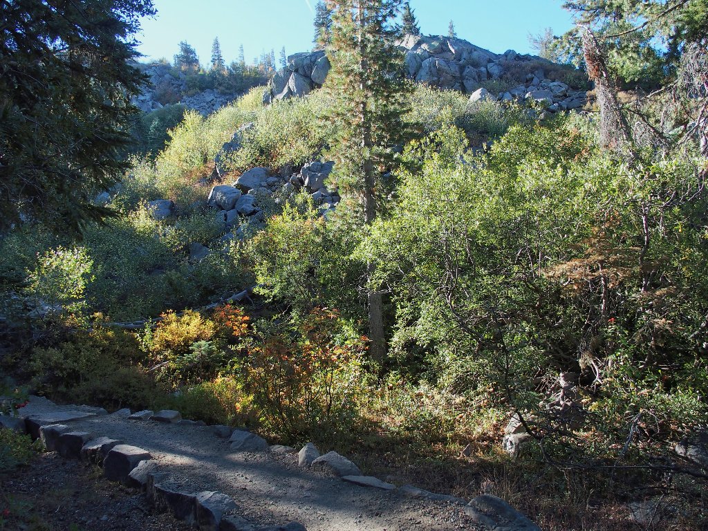
I must come back this way too
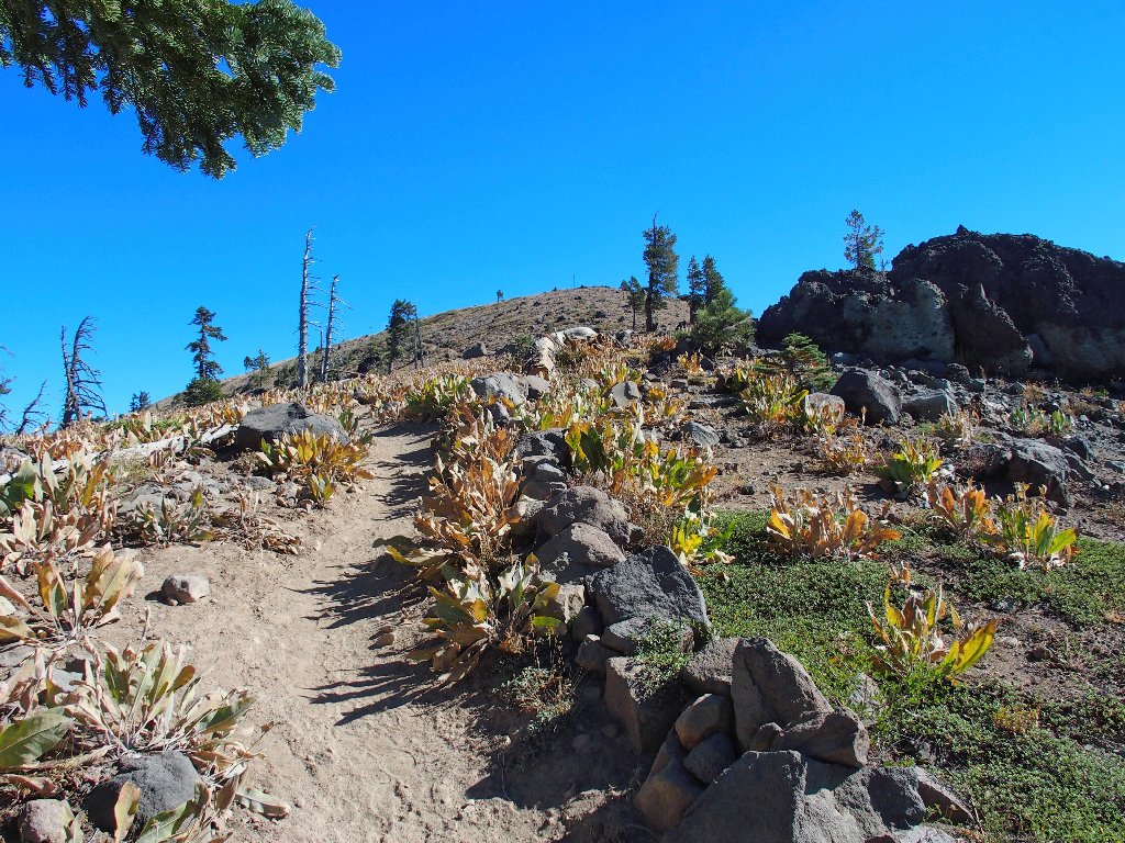
After a 250-foot climb the trail levels out, and the rough stuff all but disappears.
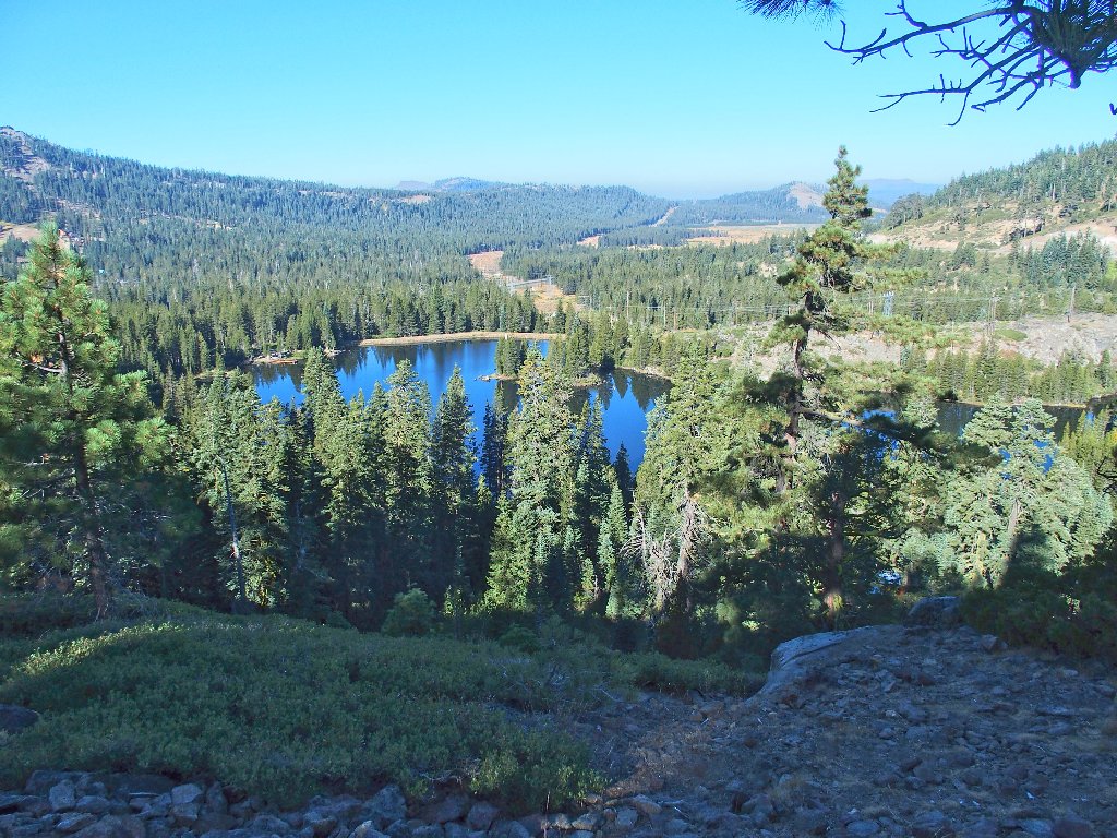
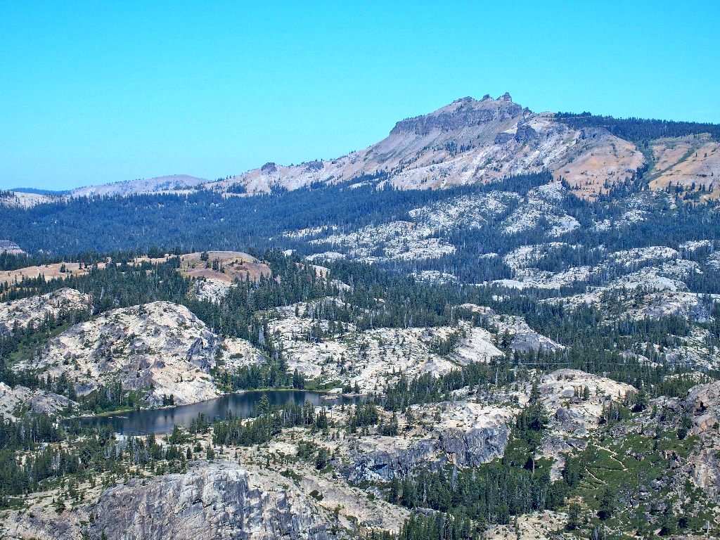
Lake Mary is privately owned
In the olden days, one could drive over on a paved road for a nice view of that lake.
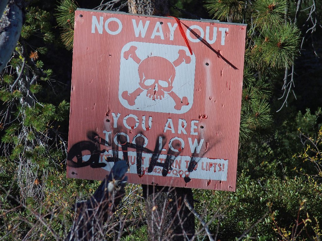
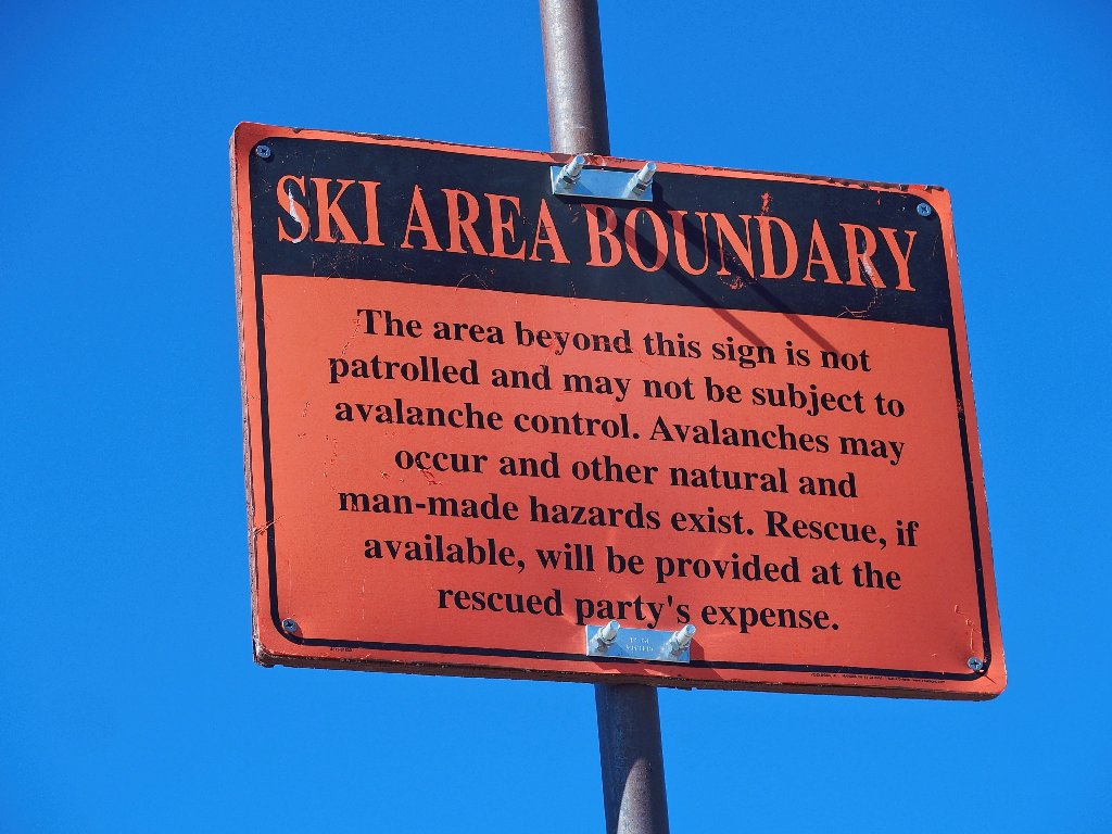
Skiers are warned away from Lake Mary
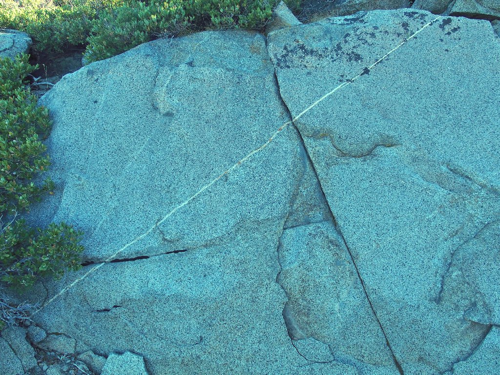
An interesting little lava dike
At a trail junction I opt for a counter-clockwise route, having something of a plan in mind.
The Sugar Bowl is the last place I ever skied, back in 1963
This west-side trail is shady now because the sun hasn't gotten over here yet
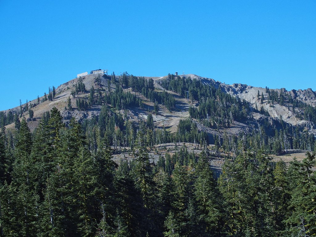
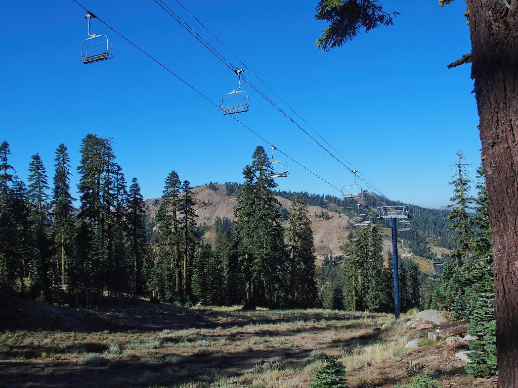
Ski lift facilities on Mount Lincoln
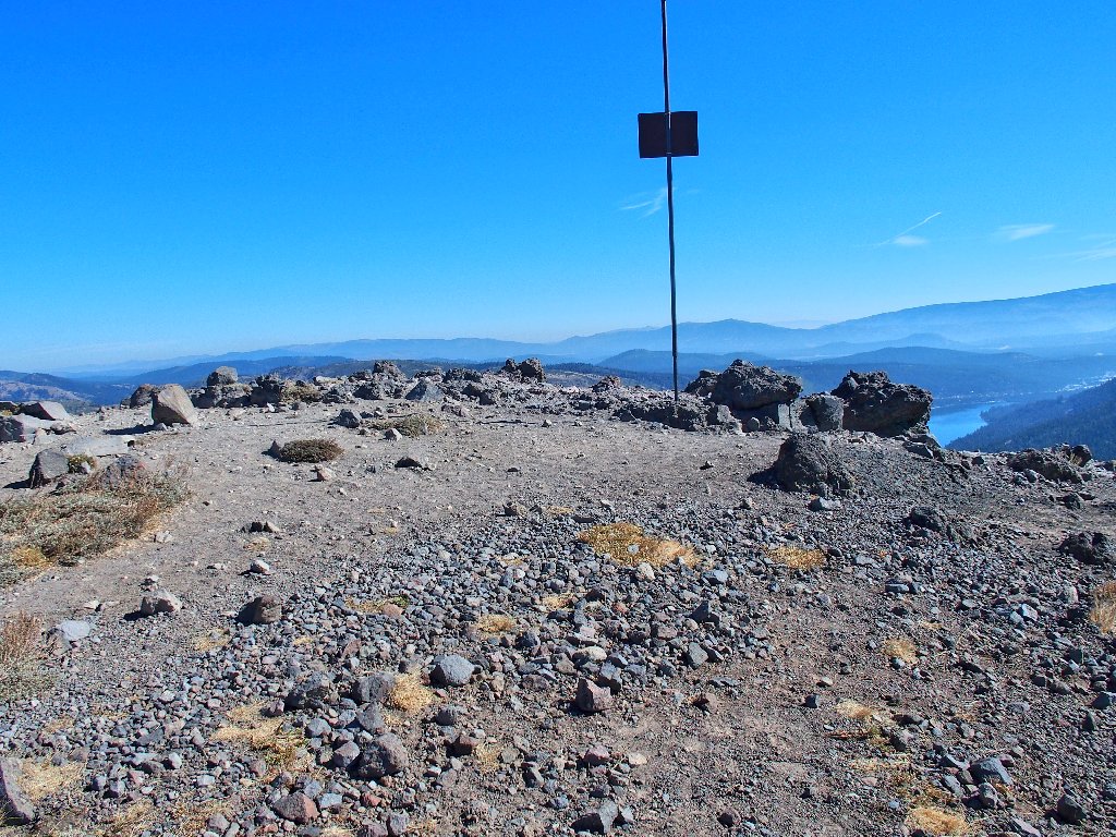
It is another uphill eight-tenths of a mile to the next trail junction, where I leave the PCT.
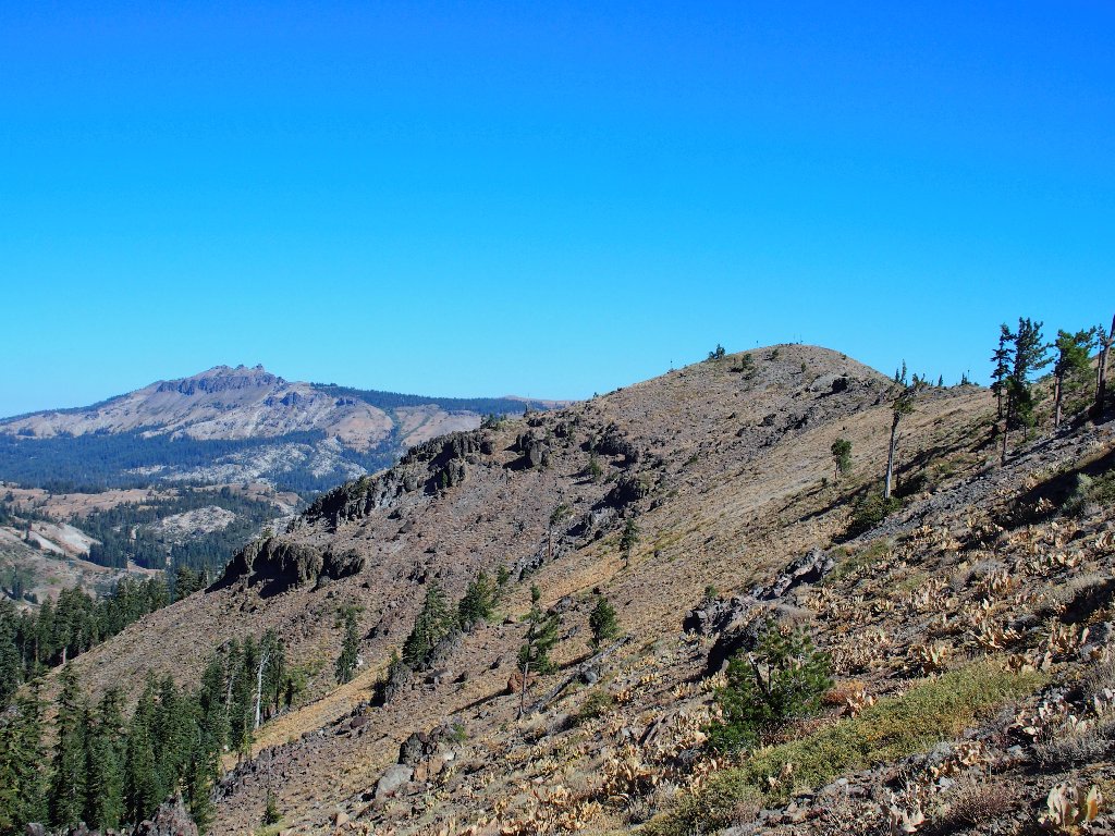
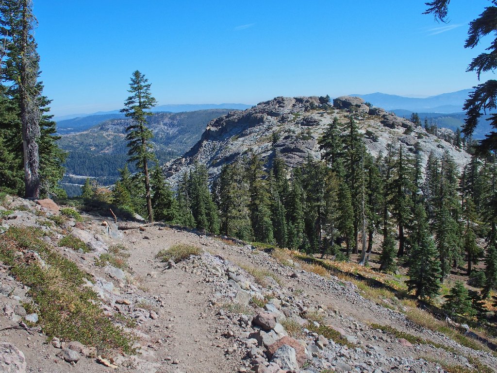
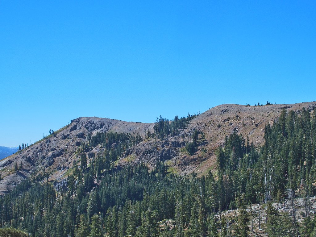
Castle Peak dominates the northern skyline
To the south are Tinker Knob on the left and Anderson Peak on the right
Oddly enough, the Pacific Crest Trail winds around up there to the right of the rightmost peak, then to the left of the leftmost peak. Go figure.
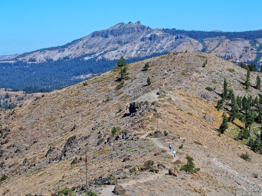
The trail keeps going up...
...and up
Not knowing just how much farther uphill this route will take me, I just keep
at it.
That's not the destination
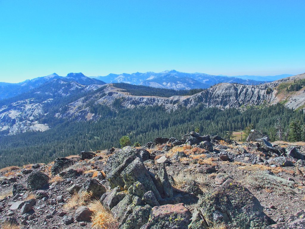
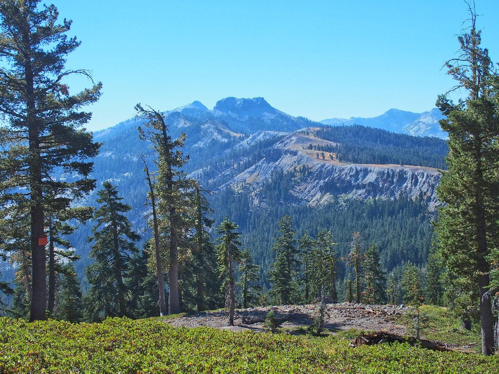
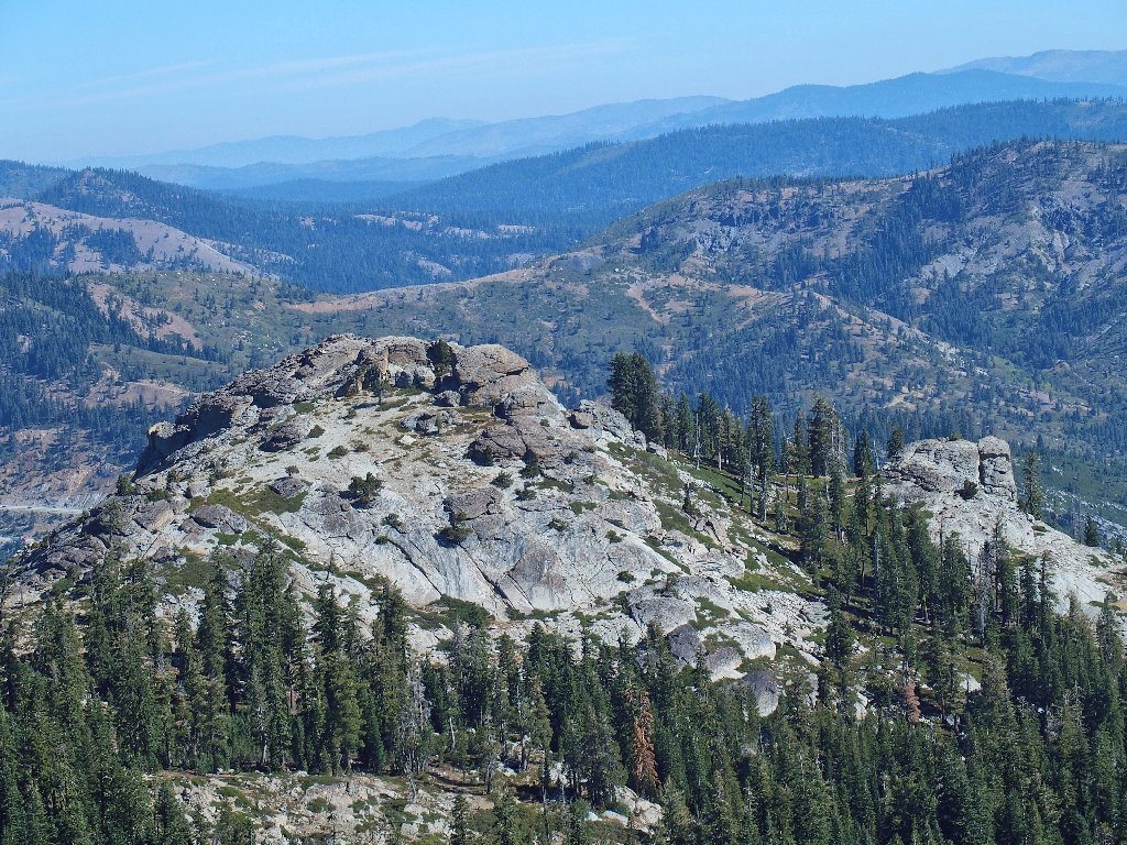
A southward view includes the high peaks of the Granite Chief Wilderness
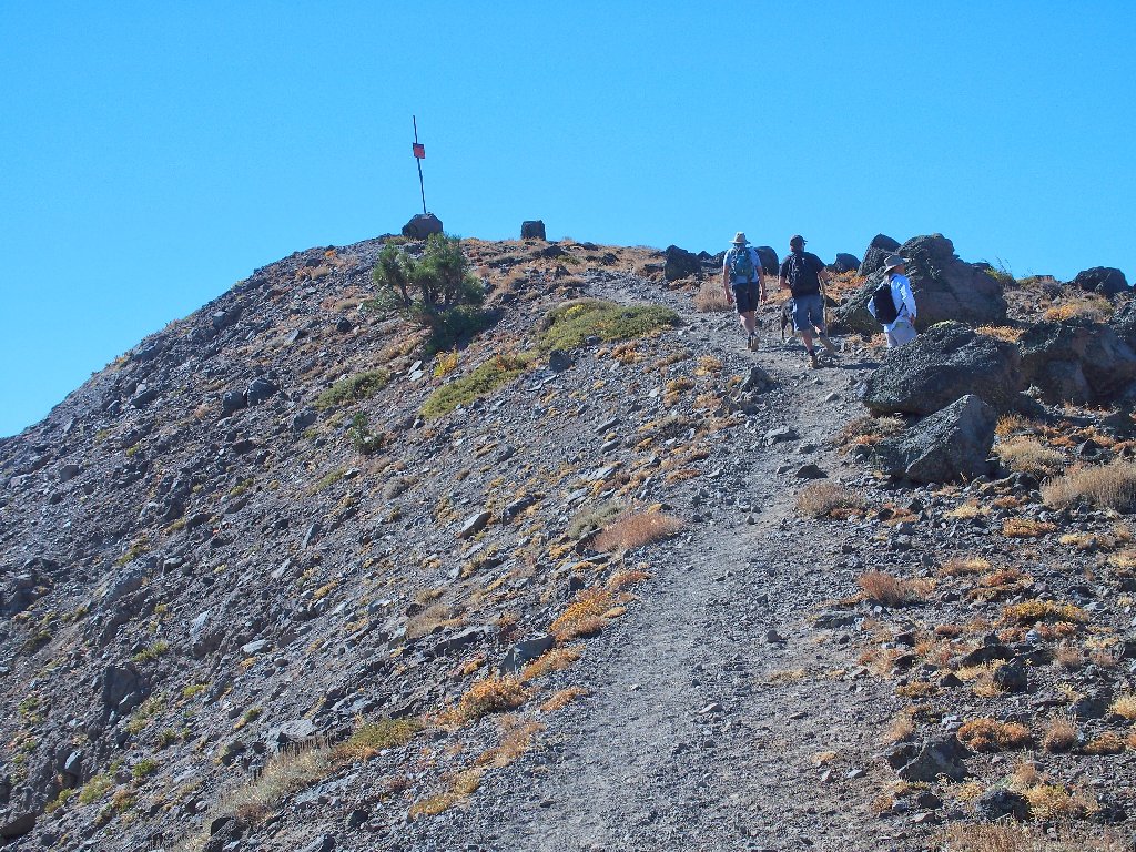
The summit finally is in sight...
...and here is is
This high point is something of an anti-climax, especially in light of the fact that the old flagpole is long gone and no other marking or indication is present.
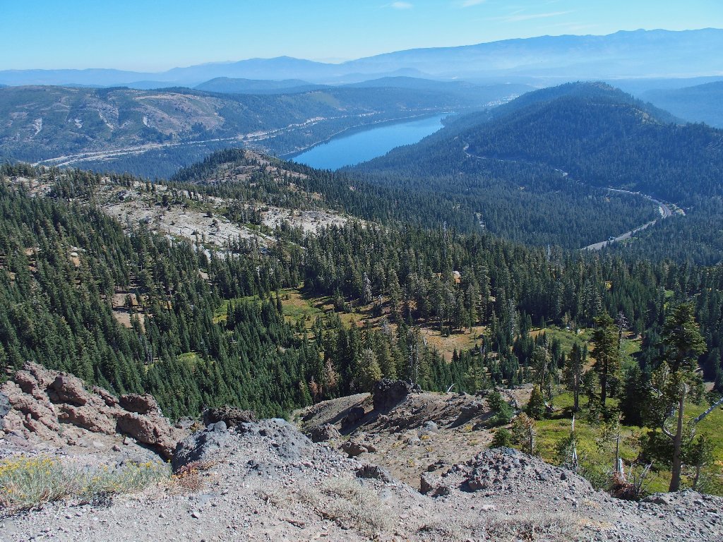
Donner Lake and smoggy Truckee, from the summit of Mount Judah
This sign has been turned to point in the wrong direction
The Donner Peak monolith comes into view
I know that people do climb around over there; perhaps I'll have to be one of them.
Three hikers and a dog are approaching
So long to Mount Judah
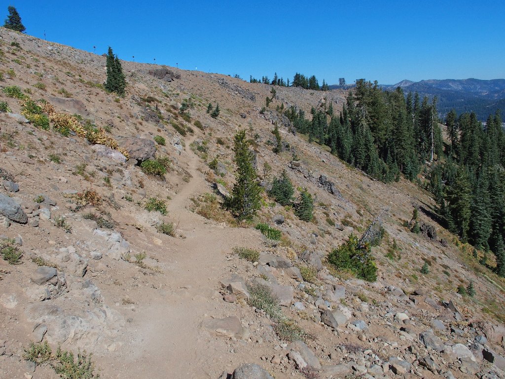
It's hot and dusty from here
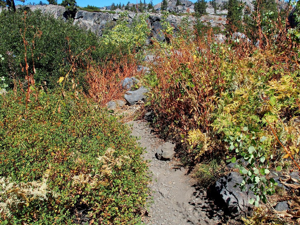
Presently I reenter the forest and actually discover a few late-season
flowers.
The shade is nice, for it is warming up
At the moment, I just happen to be standing directly over a long railroad tunnel; but one never would be aware of it without having seen it on a map.
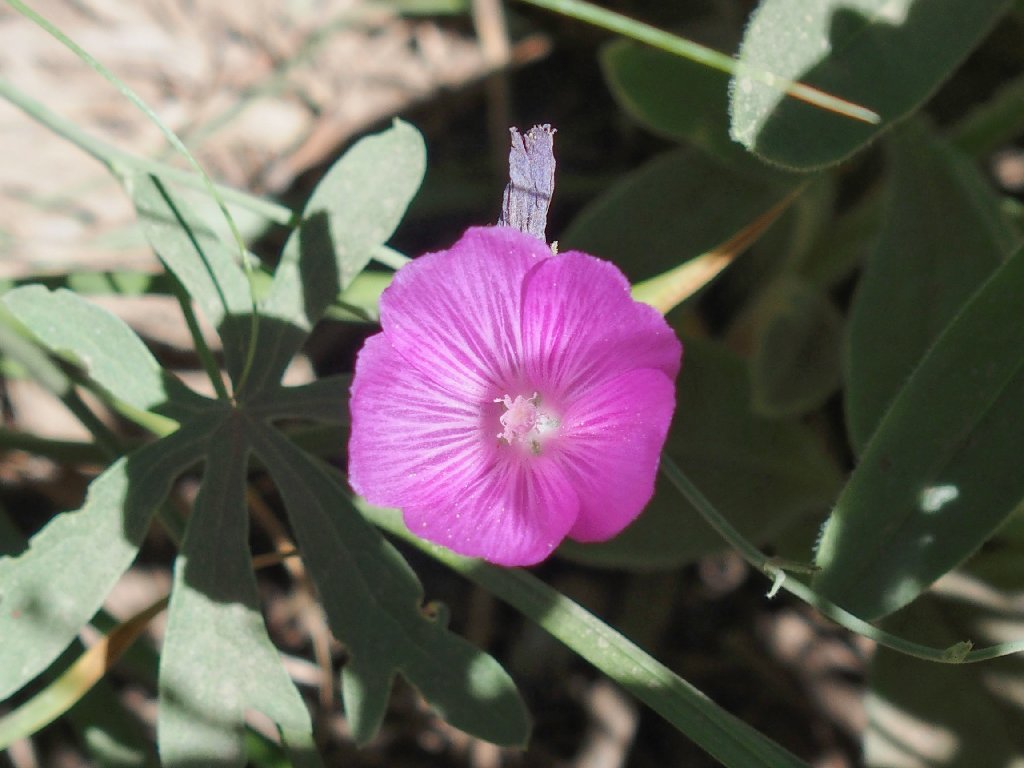
Checkerbloom
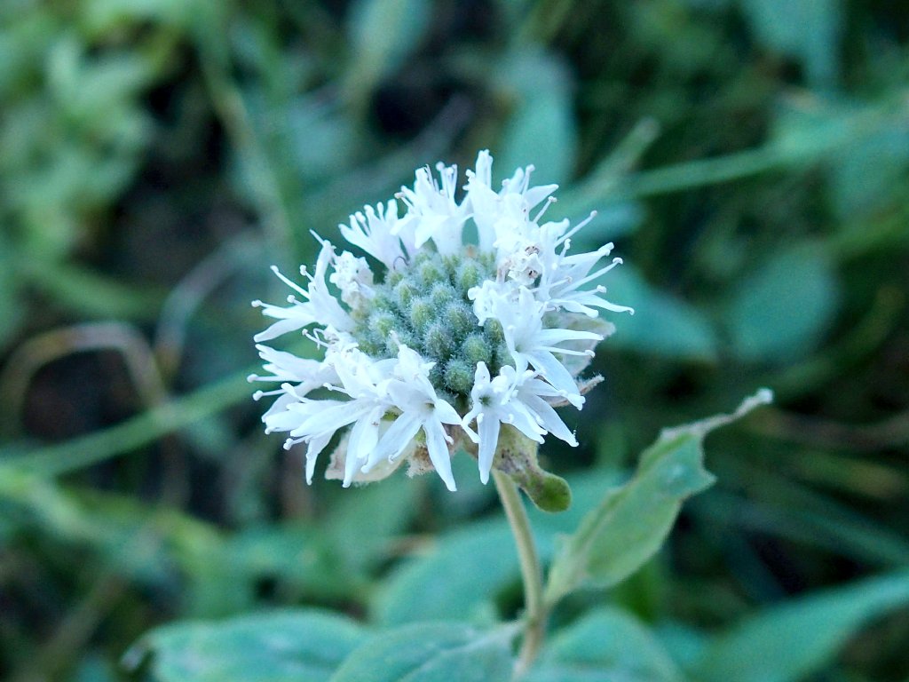
Pennyroyal
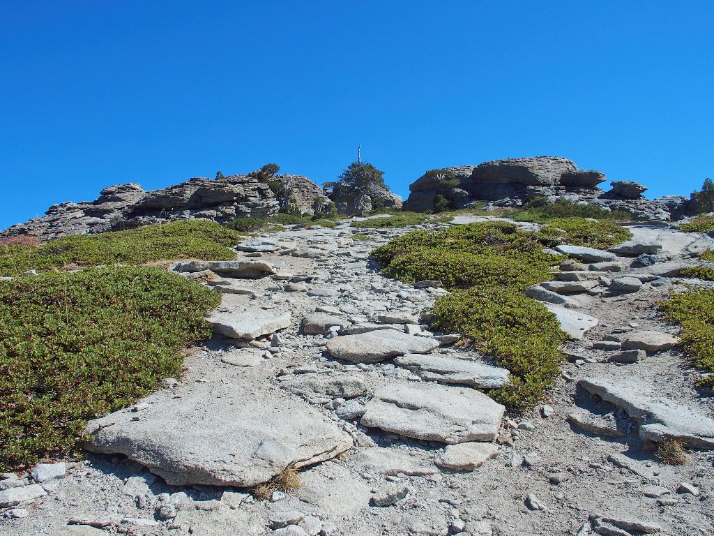
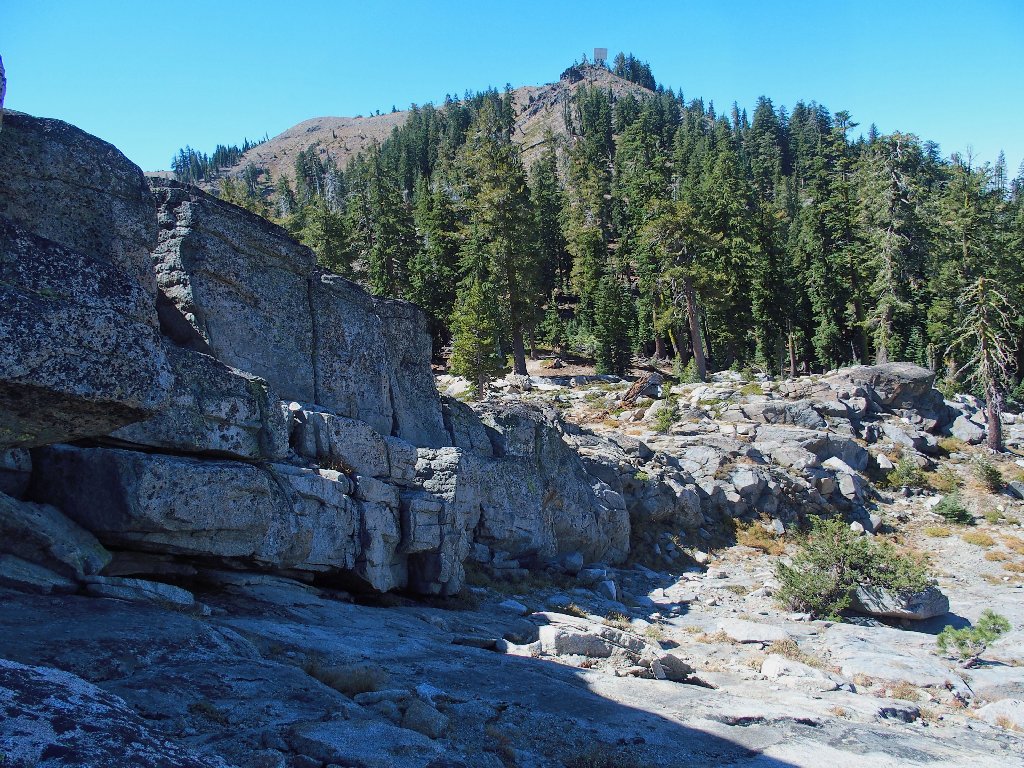
It appears that the trail is going to take me right to the base of Donner Peak, which more or less settles the question of whether I will explore it.
It looks pretty friendly over there
With hardly a pause for breath, I start up the hill, although a bit prematurely. Soon I encounter a use trail that enables easy passage up the slope.
This is rather exciting
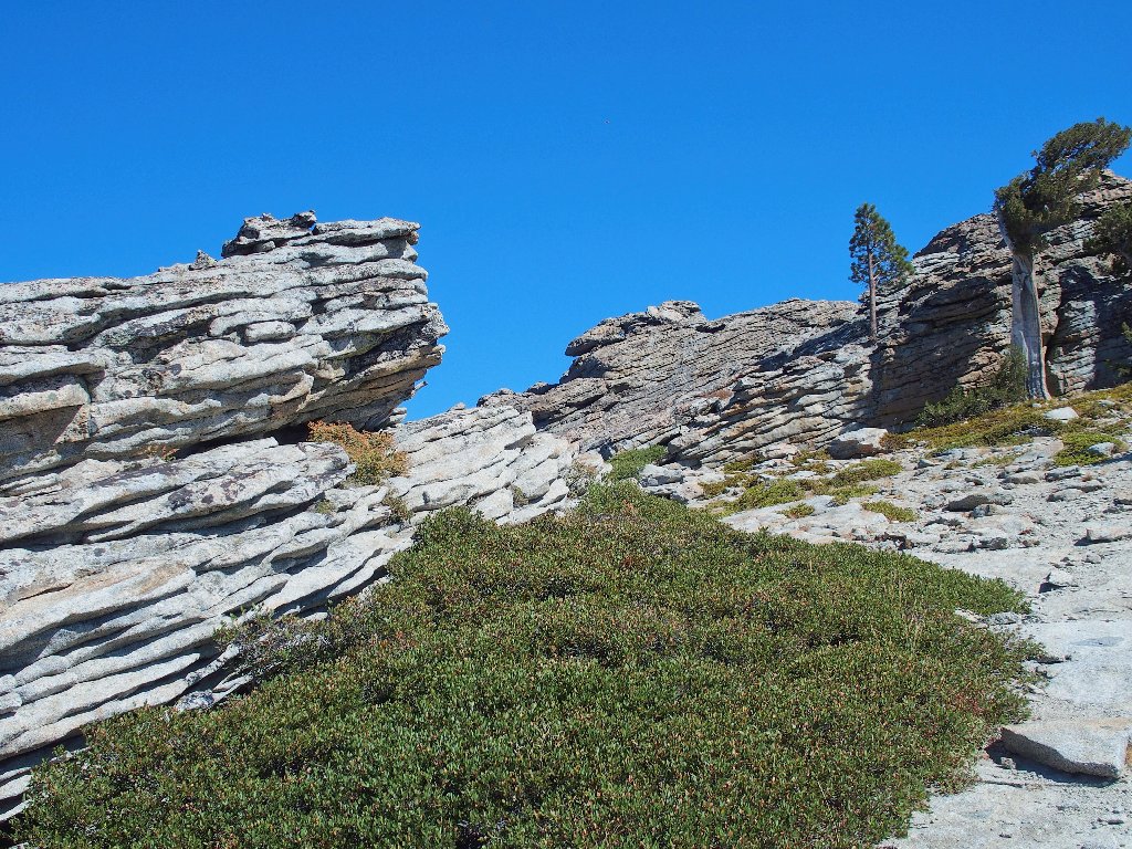
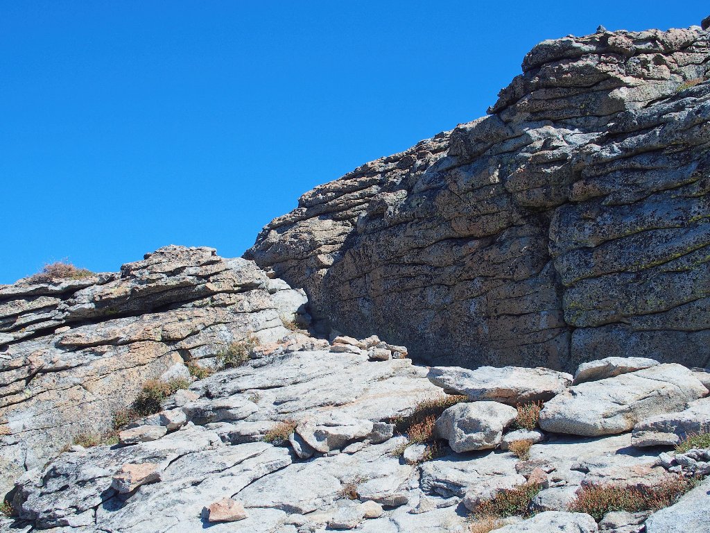
Great rock formations
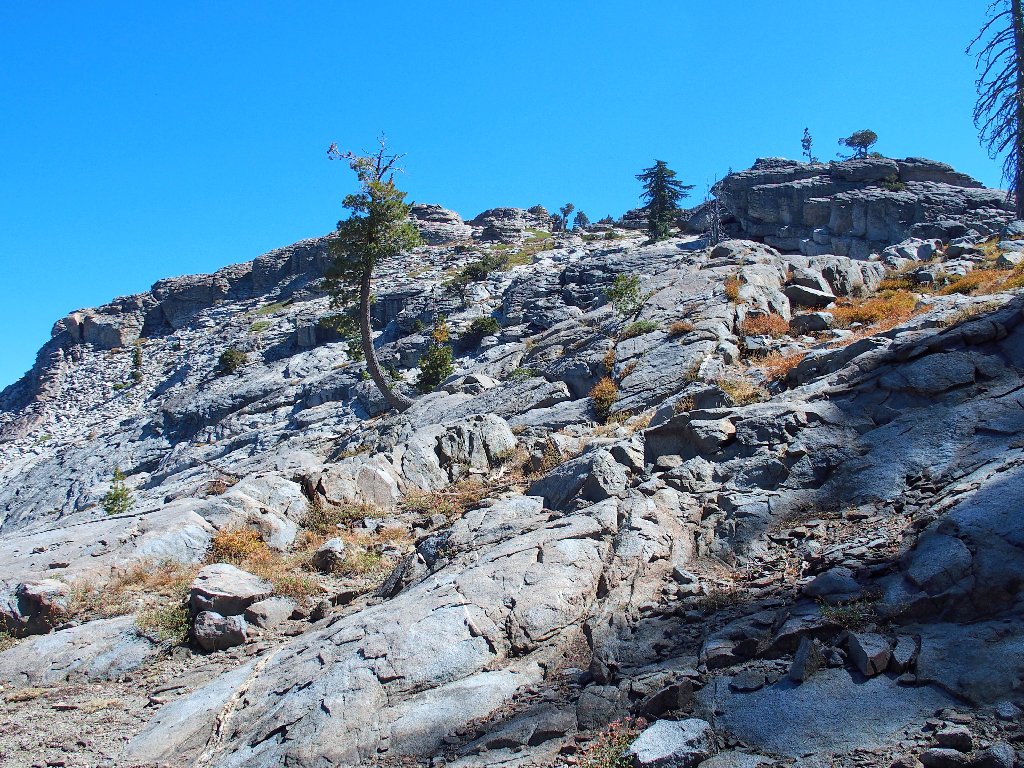
This place is fascinating! I never have seen a mountain top remotely like it.
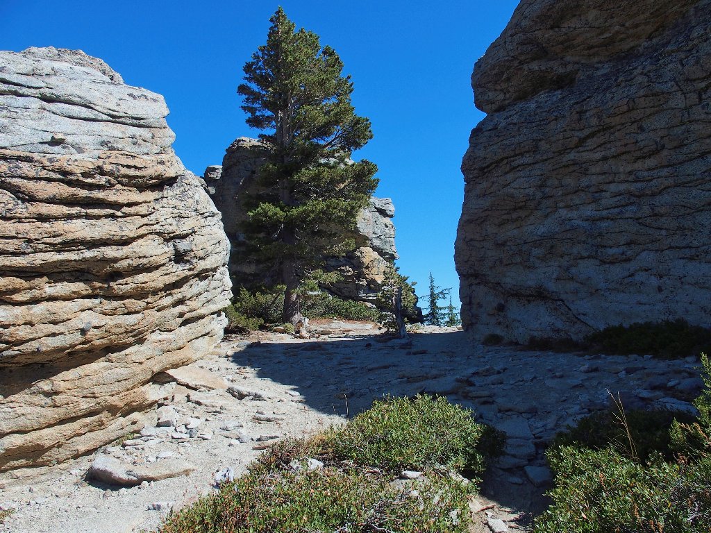
This looks more like a pass than a summit
The actual high-point is up there somewhere
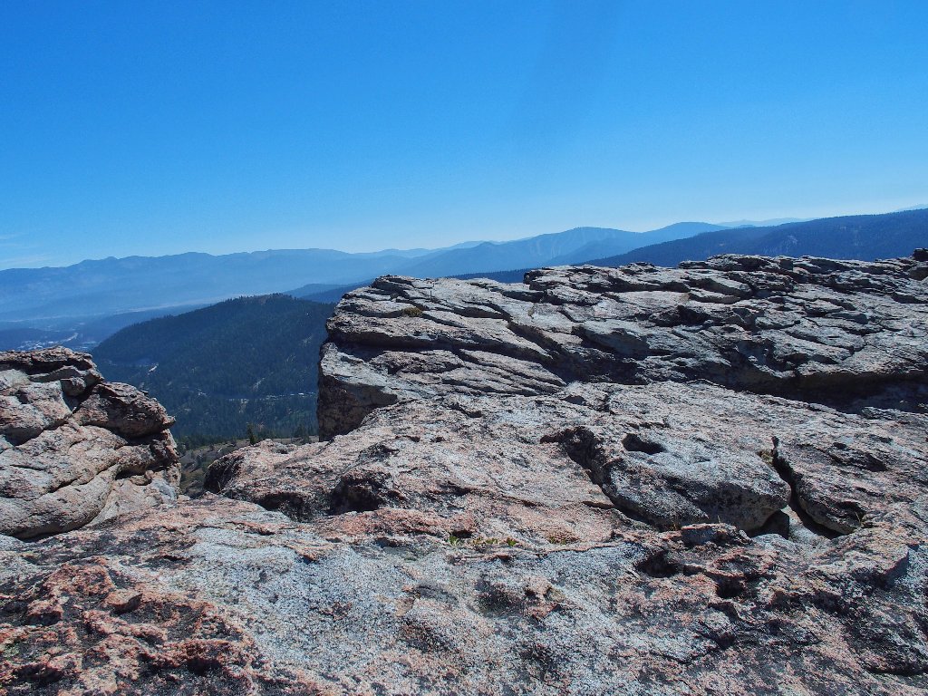
Soon, this route is terminated by a high cliff and a scenic window:
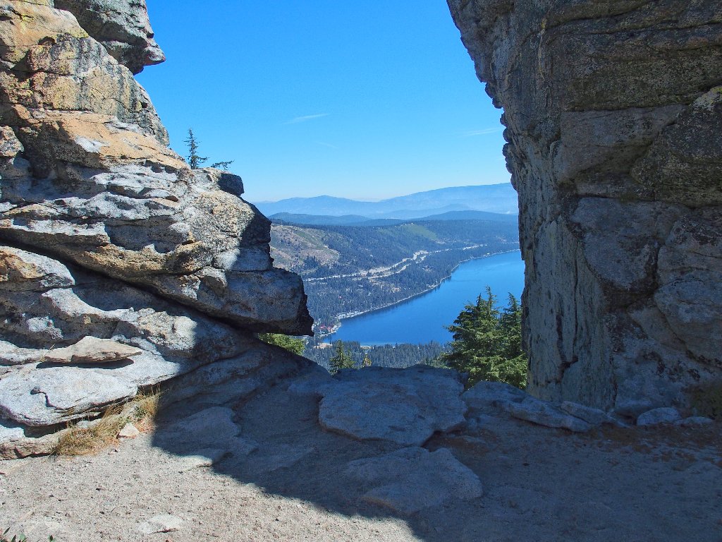
This is why I go hiking
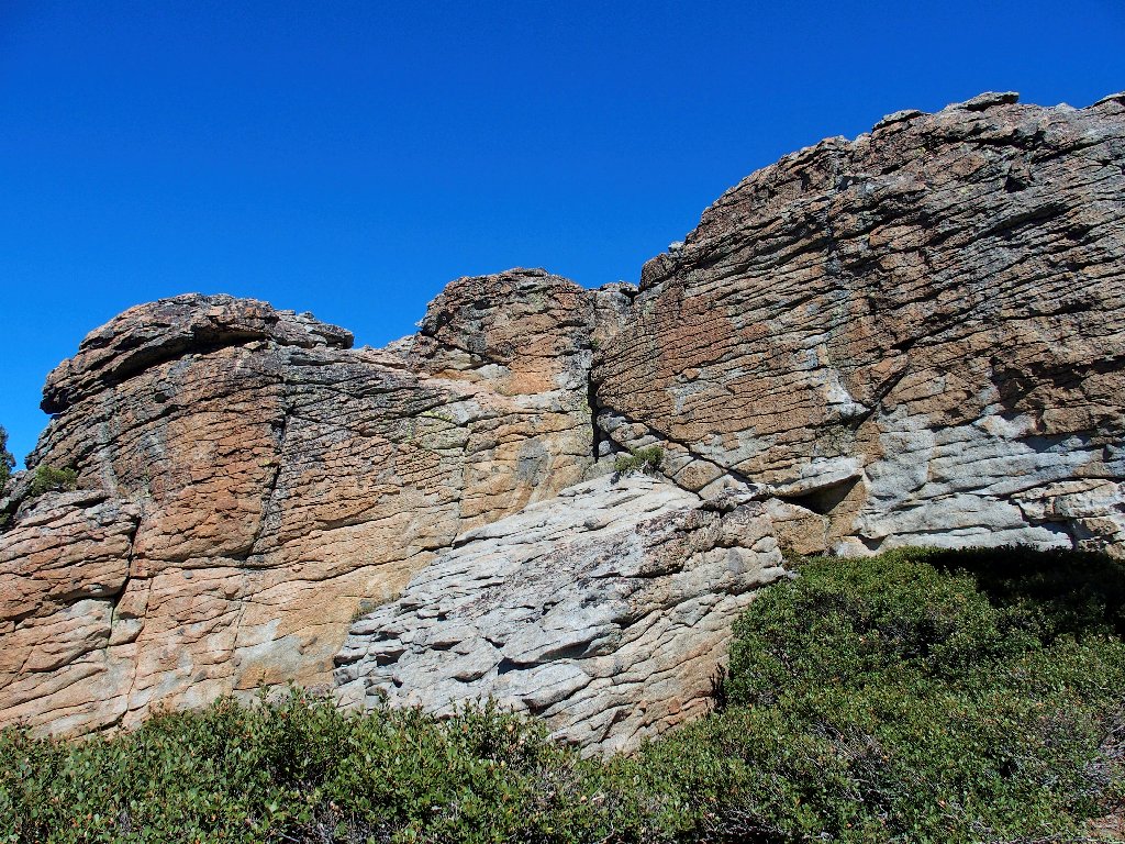
But what about achieving the actual summit? If that doesn't work out, then so be it; but I will hunt for a safe climb. Around to the left is a little slot that leads to a potentially doable route.
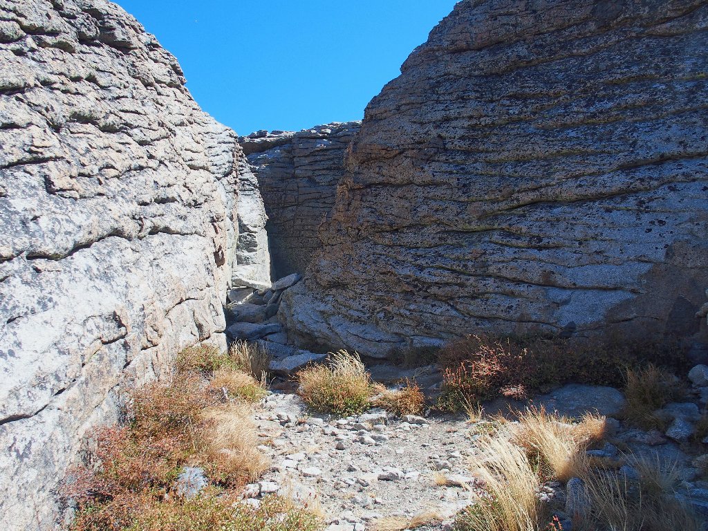
Perhaps there's a way up at the end of this notch
There is an inviting opportunity at the back end, and I do want to try the steep scramble; but prudence and old age remind me of Ted's Law: “If getting down the same way would be problematical, then don't do it; for there might not be another option”.
I search another little slot without success. Continuing around to the left, I finally find a spot from which I can clamber up safely.
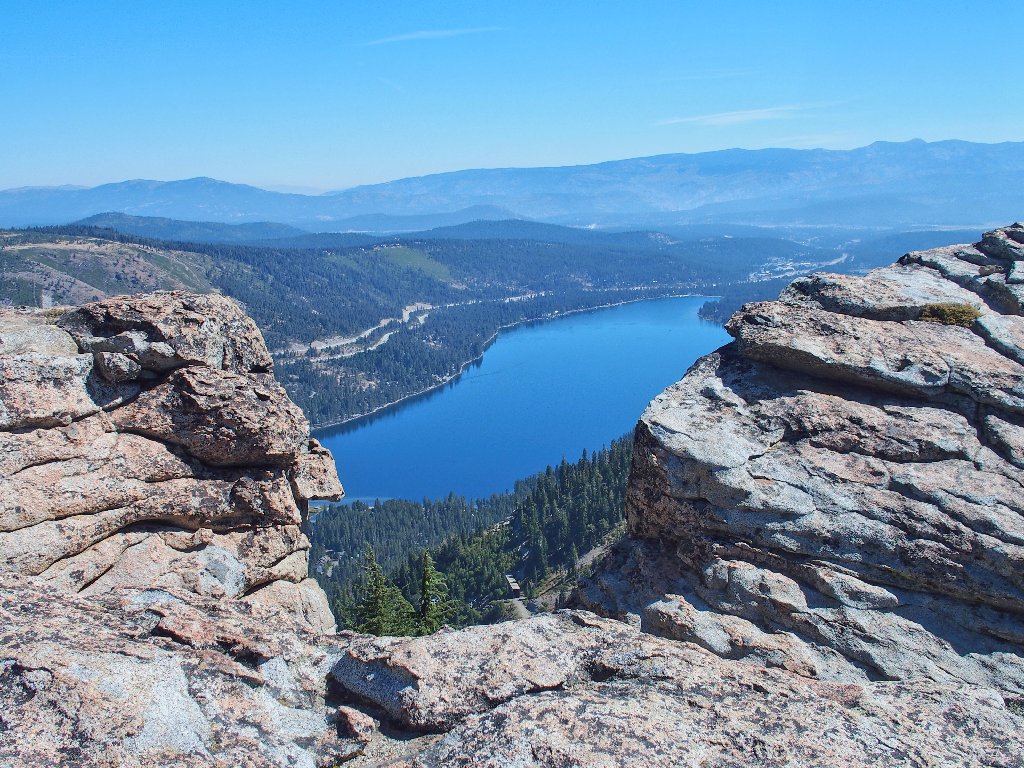
The best view of Donner Lake that I have seen.
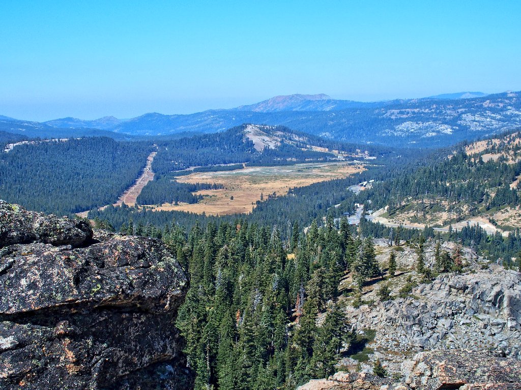
To the west is Van Norden Meadow
In the olden days, that meadow was mostly filled by the waters of Lake Van Norden; but little remains of the lake now, and certain political factions were trying to get rid of it altogether (see Update).
The elusive Lake Angela, and Castle Peak
This could be my first-ever view of Lake Angela. Albeit nearby,
it is not visible from any road and has not been in view from elsewhere
on this hike. Note also the PCT winding its way up a manzanita patch
in the lower right-hand corner of that photo.
From Mount Judah on the left, my erstwhile trail traverses the brown hillside
The gaps between the rocks, that I just explored, divide this summit block
into at least three distinct sections. The openings are so wide that one
cannot reasonably jump from one block to another. It looks as if the true
high-point is on the northernmost block just a few yards from me, but I
am disinclined to hunt for a way to get over there. I am perfectly
happy right here.
Not all of this rock is readily accessible; there is a big dropoff in the middle
After munching some grapes it is time to leave. By veering even farther north than before, I find an even easier route off the rock. That fact seems worth remembering.
My escape route is just left of the big shadow
Keeping toward the right on the way down takes me past some big boulders that provide some new scenery.
A different way down
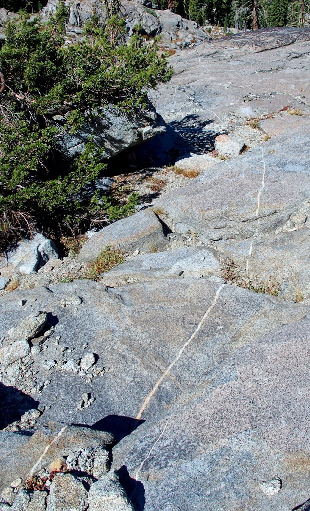
Another interesting dike stretches a long way
Last view of Donner Peak
Once at the bottom, I must find my way over to the trail. A few minutes of bushwhacking takes care of that.
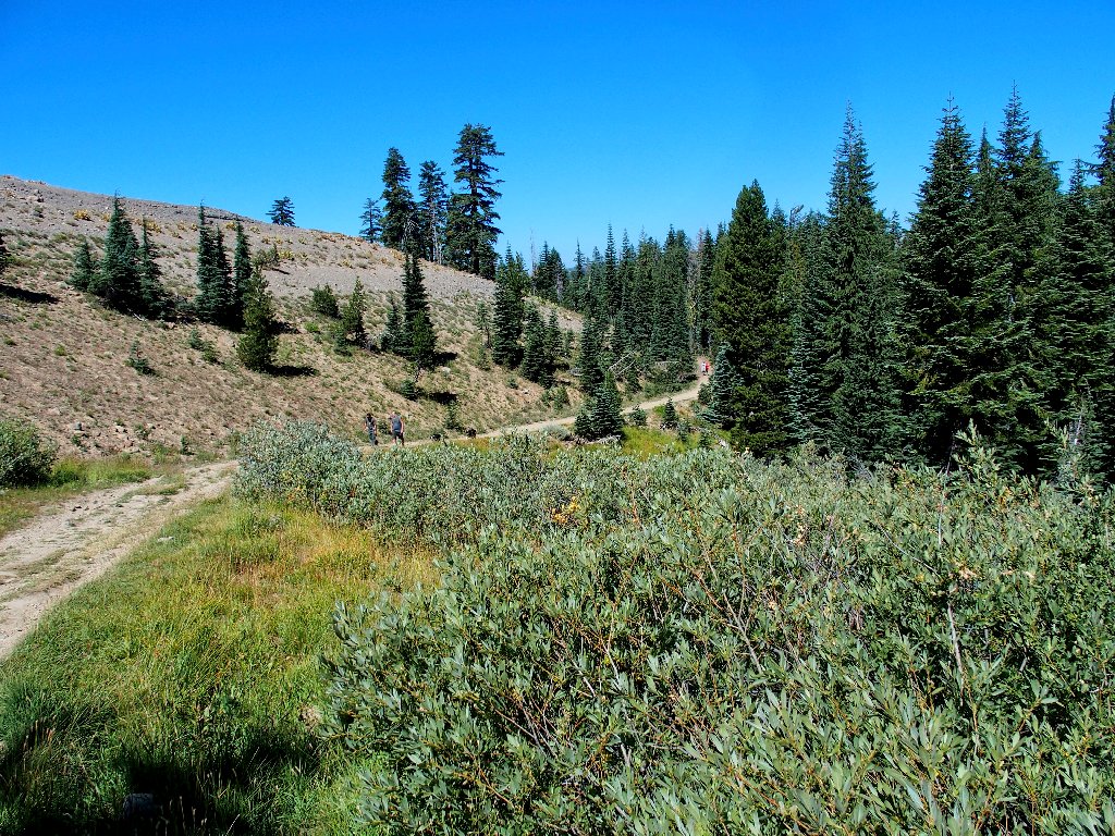
Two groups are approaching
No hiker was seen on the first half of the loop, but they are showing up in droves now.
An elaborate communications facility above Donner Ski Ranch
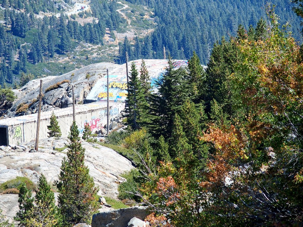
The enduring Rainbow Bridge is dead ahead
A giant mural has been painted over the first of the former snowsheds.
I'll be visiting those sheds again, with some friends
Almost finished
I reach the parking lot just past noon. Adjacent to it is an unusual feature:
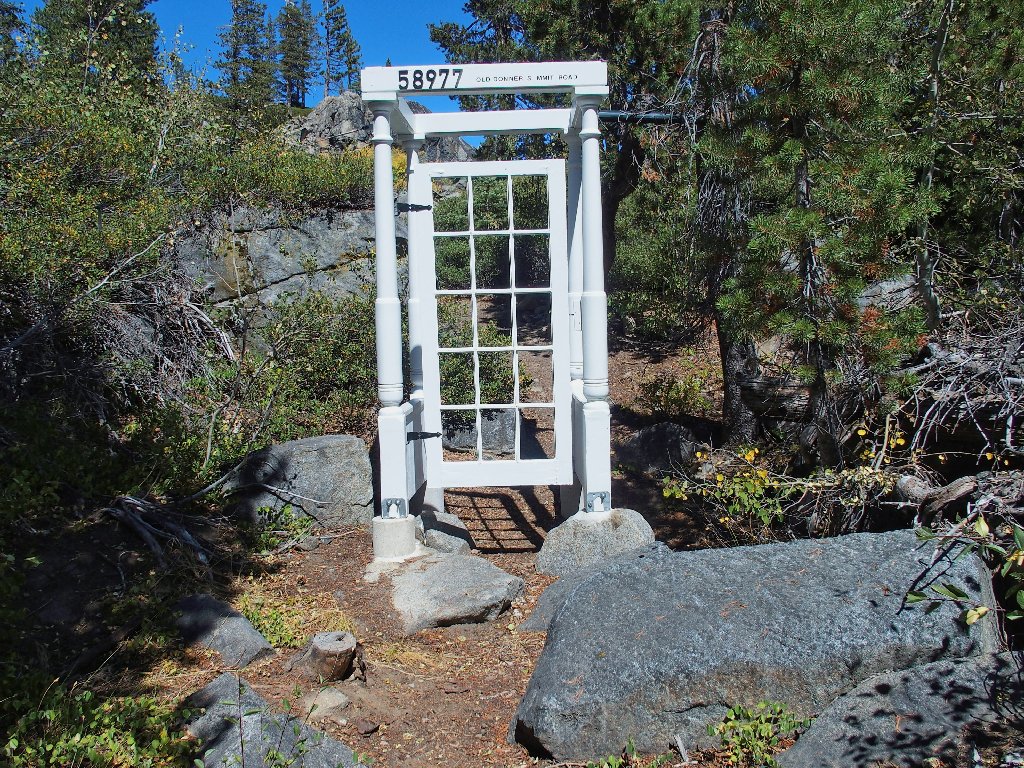
Gateway to a private cabin
§: Today was an exercise in serendipity. Although this
outing was assumed to be a loop trek up Mount Judah, the side-trip
to Donner Peak unexpectedly stole the show. Actually, I am mildly
distressed by the fact that, although this area has been within easy
driving distance for most of my adult life, I never had managed to visit
what could well be the most interesting feature of the Donner Summit region.
If you or your small children aren't up for a scramble to the actual top of the rock, it doesn't matter. Just hang out in the shade of the unique little alcove, and munch some gorp while overlooking Donner Lake. Consider walking the loop in the same direction as I, thereby saving the best for last.
| Scenery |  |
| Difficulty |  |
| Adventure | |
| Solitude |  |

UPDATE
The 800-acre Lake Van Norden Meadow had been slated to become a
950-unit housing development. In October of 2017, however, several agencies
collaborated to convey the property back to the United States. It now belongs to
the public and is accessible via the Sheep Pens Trailhead on Van Norden Lake Road.
Sometimes, something good happens.
