
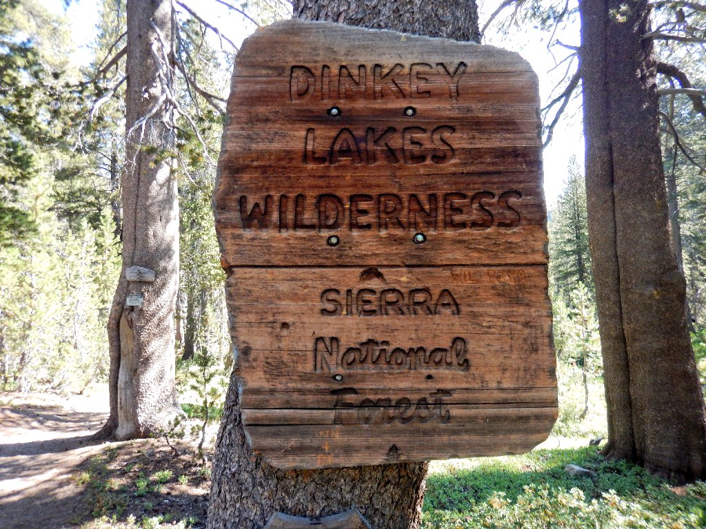
Dinkey Lakes Wilderness
|
Rock Lake Dinkey Lakes Wilderness |
August 25, 2016
After spending yesterday in the nearby Kaiser Wilderness, I have headed
back up the radiator-killing hill from the unexciting city of Clovis,
for yet another day in an area that is new to me. From the Dinkey Lakes
Campground, it is a tortuous 11-mile drive on a formerly paved route
riddled with chuckholes. Another three miles on an even rougher
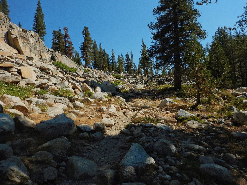
road get me to the trailhead, from which I have planned a six-lake loop.
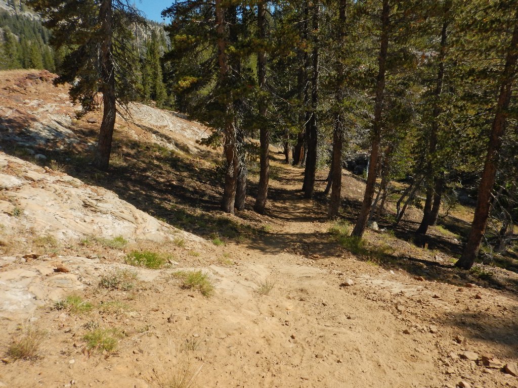
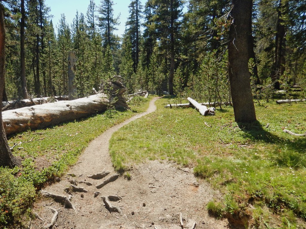
The route starts out downhill
The creek is dry
Easy going so far
My first visit here
Apparently, a dog named Dinkey once survived a fight with a grizzly bear somewhere near here. Now the brave but foolish Dinkey has two lakes, a dome, a campground, and a federal wilderness area named after him.
Starting uphill
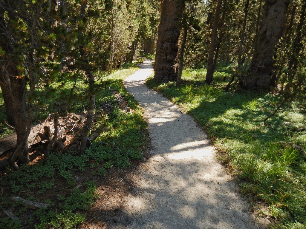
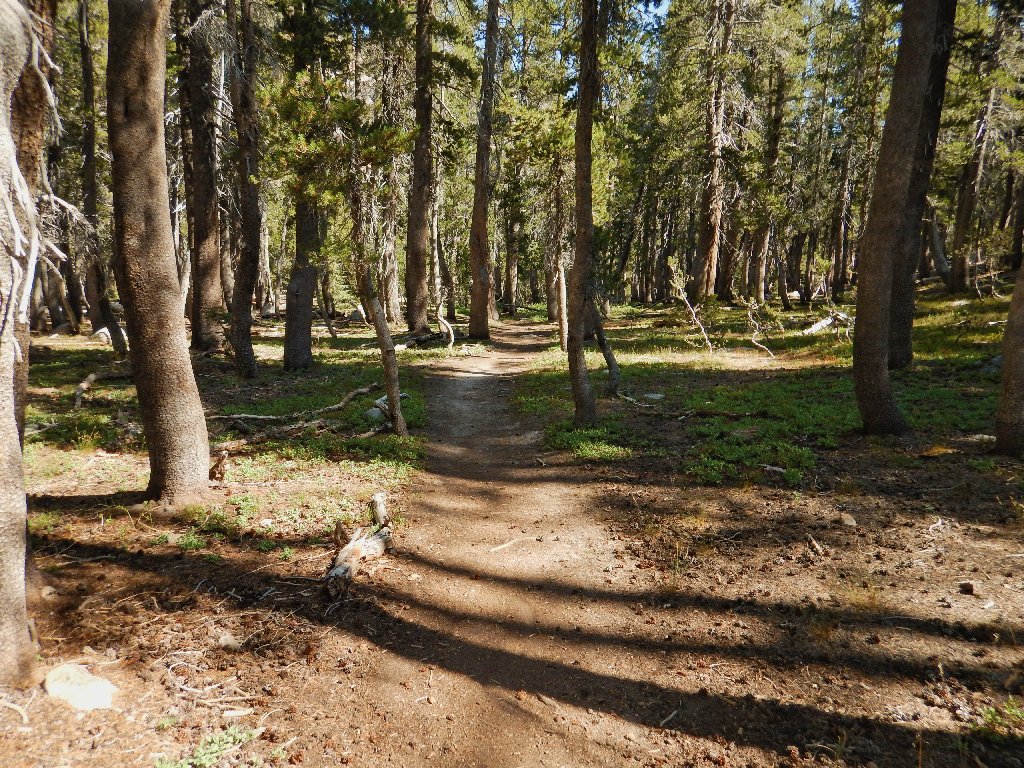
The trail is downright lovely in places
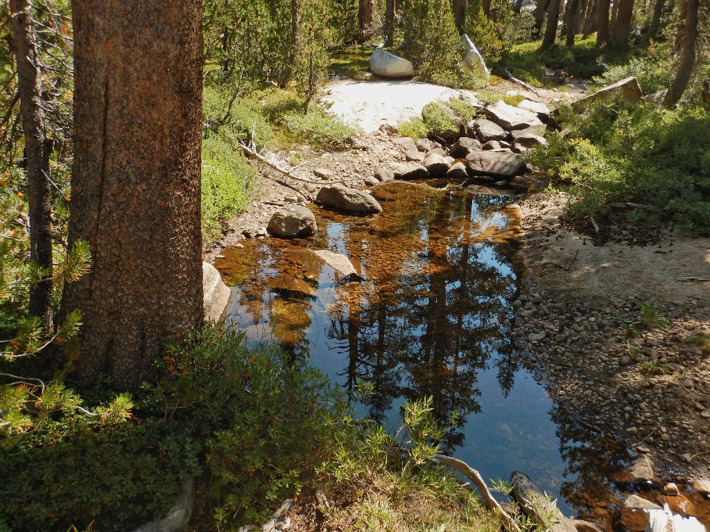
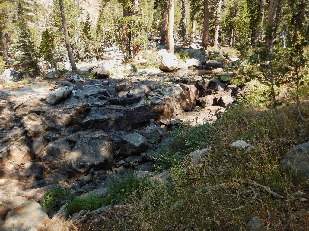
The creek is not quite dead
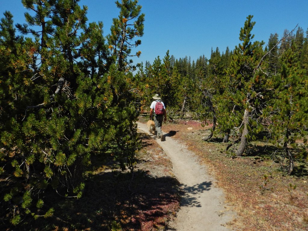
It is nearly a three-mile forested slog to the first attraction on the route, during which I see little other than three backpackers.
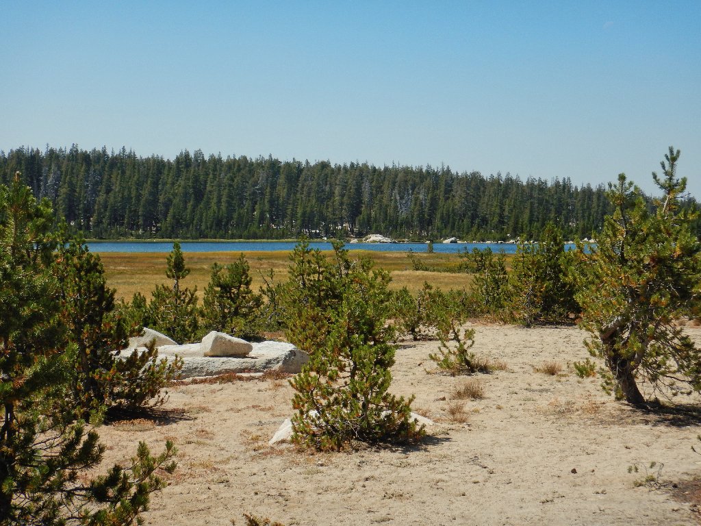
The big lake can barely be glimpsed just beyond this pond
I am using yet another substitute camera today, while my beloved
Olympus Stylus-1 is being repaired. It appears that this
new Olympus TG-4 can suffer from lens flare, as seen below.
I had not observed that problem previously with this unit, but I must be
mindful of it in the future.
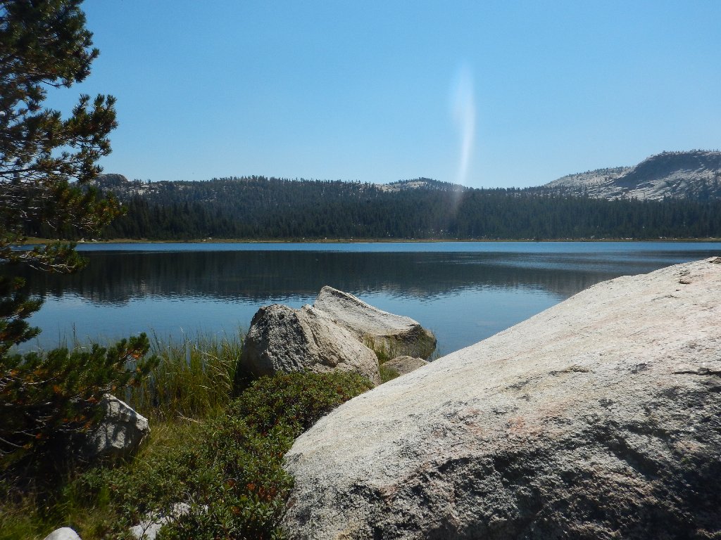
First Dinkey Lake is not spawning a tornado, and that's not a fire either
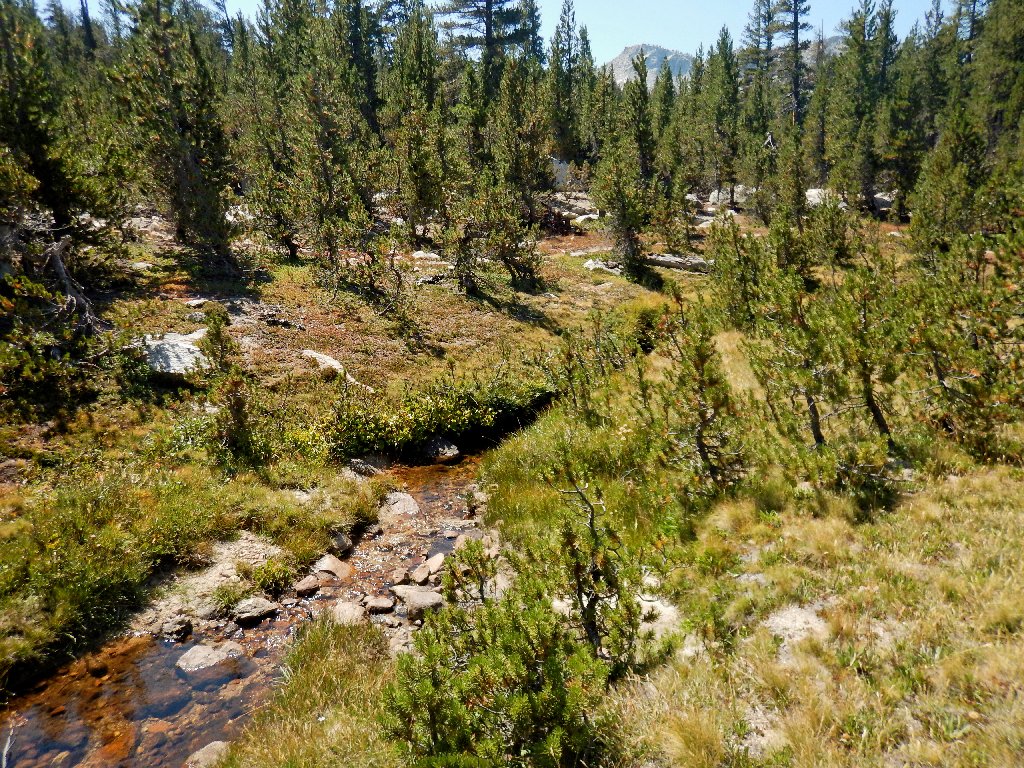
There is some running water up here after all
Presently I am greeted by a very friendly dog that is accompanied by
a talkative day-hiker. He says that he drove in on a more
northerly route that is shorter and better than the one I used.
Perhaps I'll try his roads on the way out
I could head back from here, but the day is so young
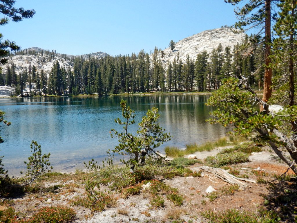
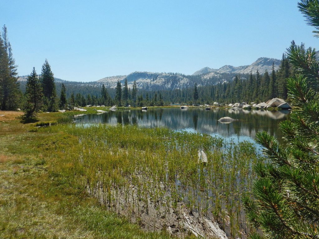
Second Dinkey Lake is nicer than the first one
My GPS says that the final attraction on this leg is but a quarter of a mile away,
so off I go. Ten minutes and a steep 80-foot climb see me there.
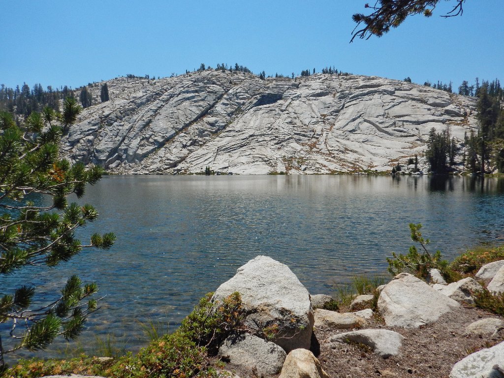
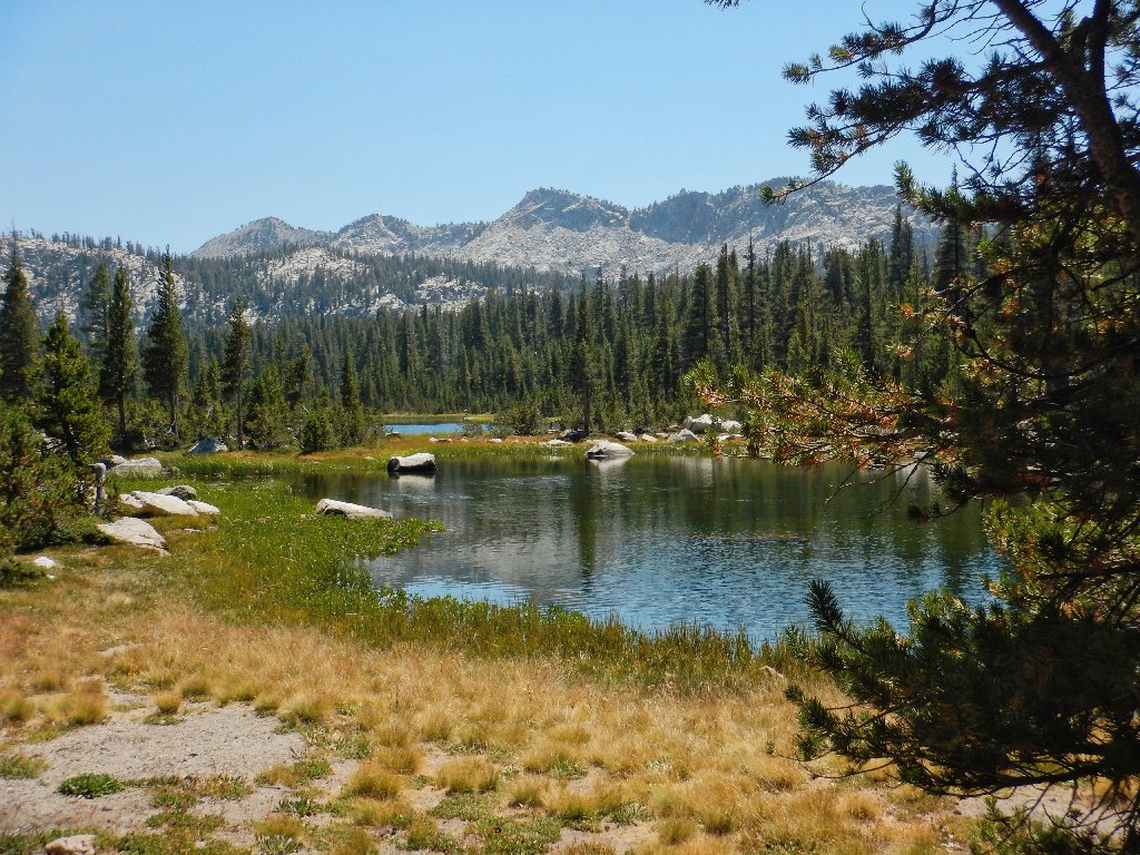
Rock Lake
It is time for lunch and a nice rest, at 9,700 feet. Life is good right now.
There's the namesake rock
After refilling a water bottle I start back, passing a nearby campsite. The man there asks how far it is to the Rock Lake. I respond, "Ten minutes". He laughs in seeming disbelief, so I repeat, "Ten minutes". Then he asks where I am camping. I smile and say, "Sacramento. That's where my dinner is waiting".
They have some exploring to do
Now, according to the map, I can take an easy shortcut directly over to South Lake; so I determine the direction of the appropriate waypoint and steer that way. Before long, I see a lake below and aim for it.
There is a big marshy area on this side of the lake
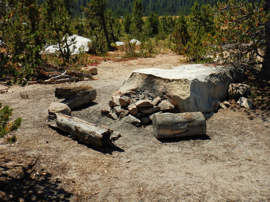
Nice campsite
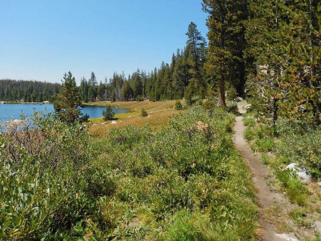
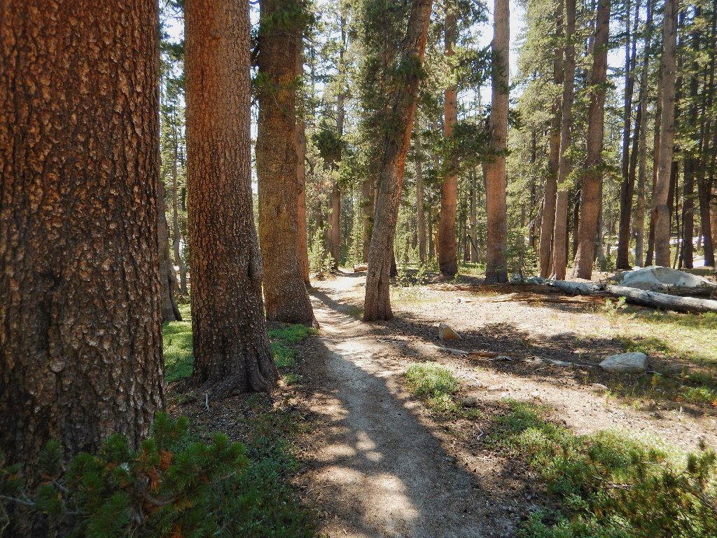
Nice trail
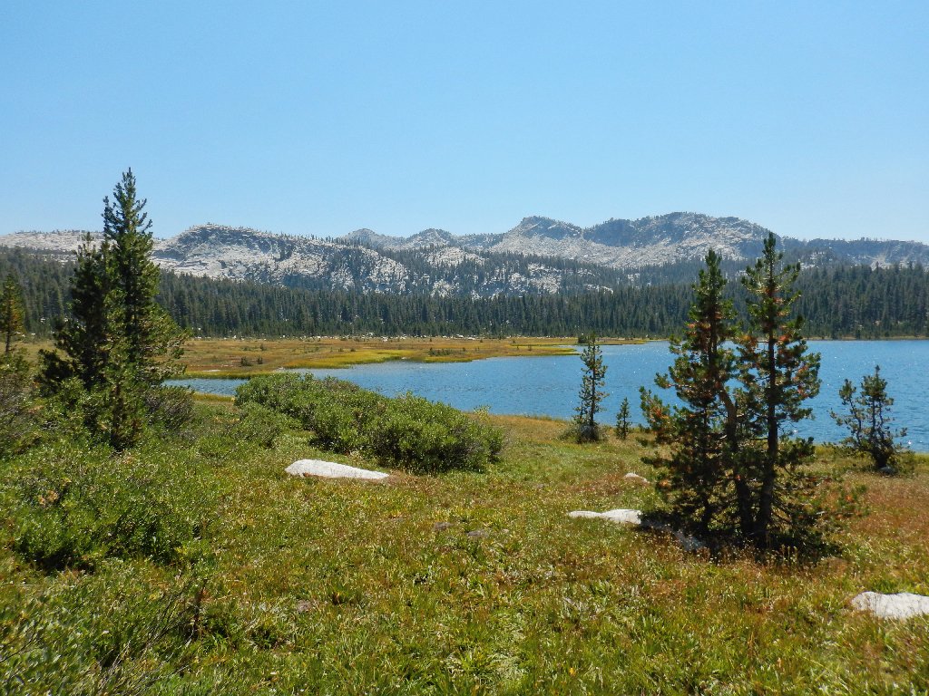
The Three Sisters in the distance
As was the case yesterday up at Kaiser, the flower season is all but kaput:
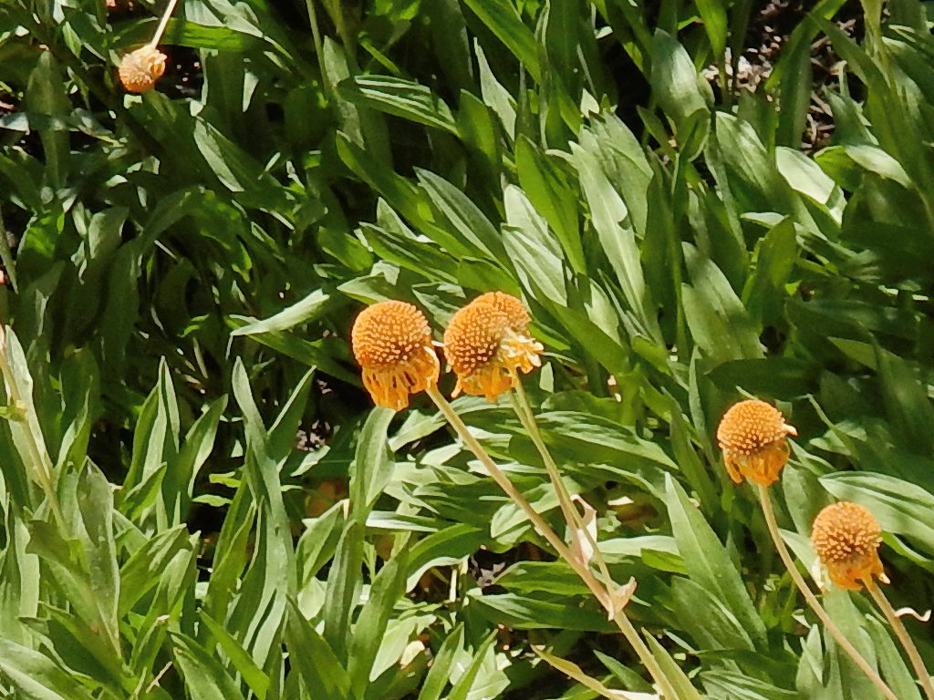
Bigelow's Sneezeweed
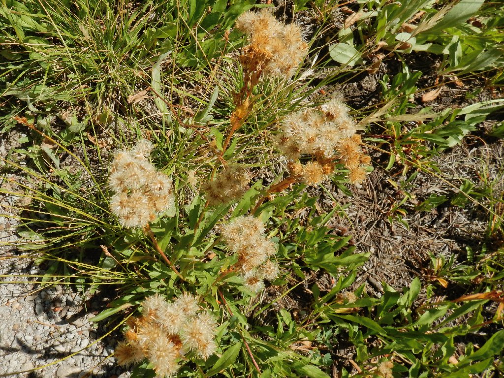
Western Groundsel
Having not glanced at either the map or the GPS for a while, I still haven't figured out what actually has just happened. One would think that I would recognize a scene that I had visited just a couple of hours ago, but no.
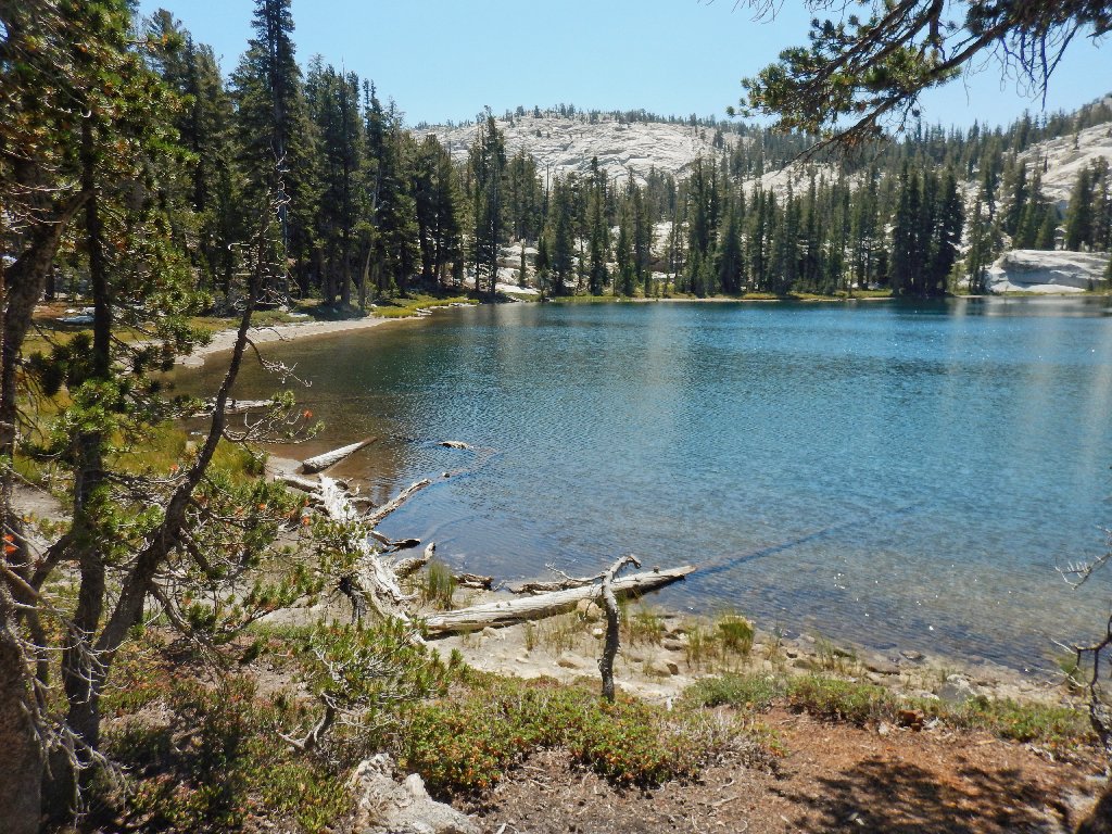
This isn't South Lake at all; it's First Dinkey, and I don't even know it
Since the route looks different when traveling in this direction and there is little in the way of landmarks, I remain more or less oblivious for another mile until I recognize a tree root that I had tripped over on the way in.
Damn! Realizing now that I am going to miss half of my planned loop, including three new lakes, I am highly dismayed, yet too tired to consider any sort of retracement at this juncture.
The trail is great, but it isn't the one I wanted
Now it is just a matter of getting this walk over with. In relative disgust, I don my Walkman, hoping that some music will help put away the remaining distance as quickly as possible. That does work, although I must pause several times to rest my weary bones.
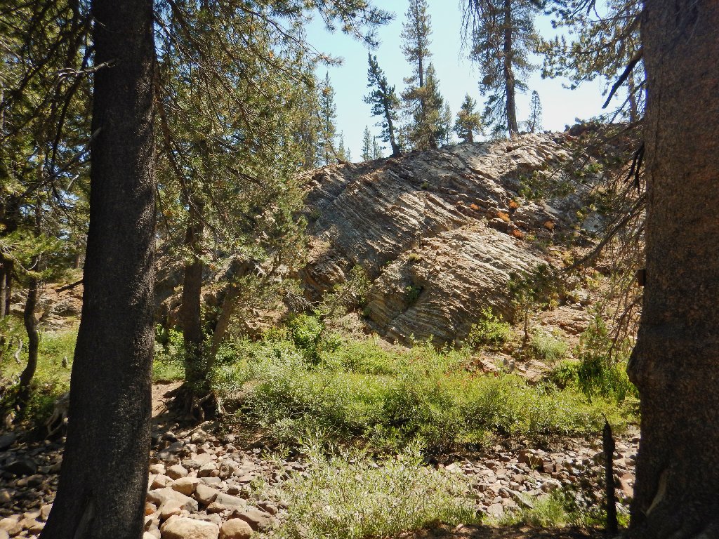

Nice rocks
§: Well, I almost was sufficiently embarrassed by my idiocy not
to publish this journal at all. On the other hand, perhaps my experience
will have meaning for someone else who might get off track sometime.
Had I paid sufficient attention to the GPS and to my direction of
travel during the cross-country shortcut — or had
I noticed on the map that South Lake had no marshy area beside it,
and that there was a big hill beside it — or had I
recognized the environs of First Dinkey Lake — then the
outcome would have been different. My only excuse is that I did
not actually revisit any trail signposts until it was too late.
I still cannot reconcile the amazing fact that the GPS track doesn't
show me as having been on any sort of shortcut at all. Another
blogger has written about meeting a couple of groups here that didn't
know where they were going either; perhaps this area has some sort of
Bermuda Triangle qualities. In any case, I feel that I should
return sometime and achieve some closure to this event.
Rotten road or not, I just might do that next year —
but a month earlier in the season.
| Scenery |  |
| Difficulty |  |
| Adventure | |
| Solitude |  |
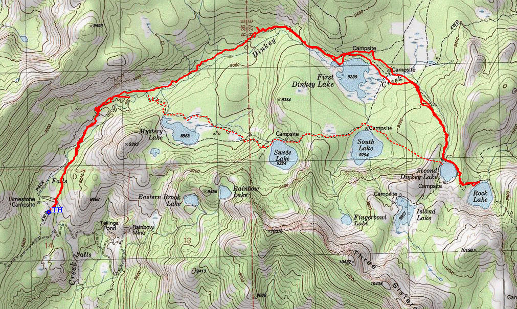
The dotted route is what was supposed to happen

ADDENDUM
I took the hiker's suggestion and tried the northern exit to
Highway-168. It was indeed a couple of miles shorter;
but the roads were just as rough and had just as many chuckholes.
That other guy is nuts.
My map showed all the roads and their numbers. At one fateful
intersection, I eschewed a hand-made signpost directive for what
clearly would have been a shorter route. That didn't work out well,
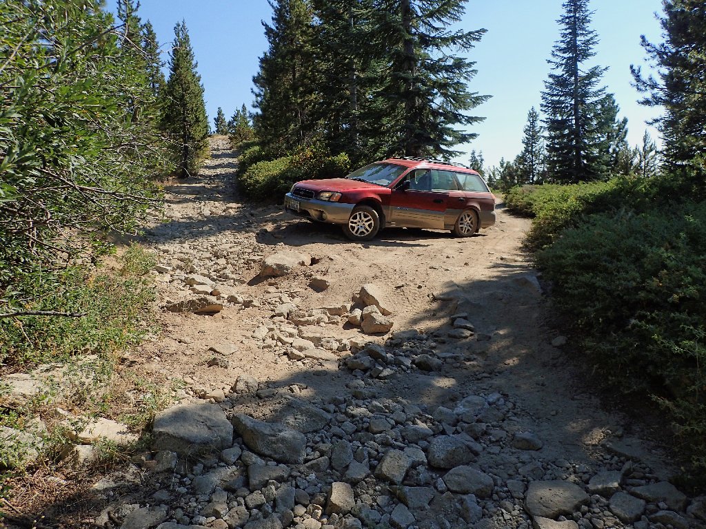
however; for I encountered a section of road that seemed a bit too
problematical for the 7-inch clearance of my Outback.
It seems that I had found an extension of the Brewer Lake ORV route.
Begrudgingly, even though it was just a quarter-mile farther to a
graded road, I concluded that one big mistake today was enough.
After backing up a couple hundred feet to a place where I could turn
around, I retraced a couple of miles to the recommended route.
It wasn't much better, but it didn't ruin my car. Altogether,
it took nearly an hour and a half to get from the trailhead to the
highway, leaving another 4-hour drive to my dinner plate.
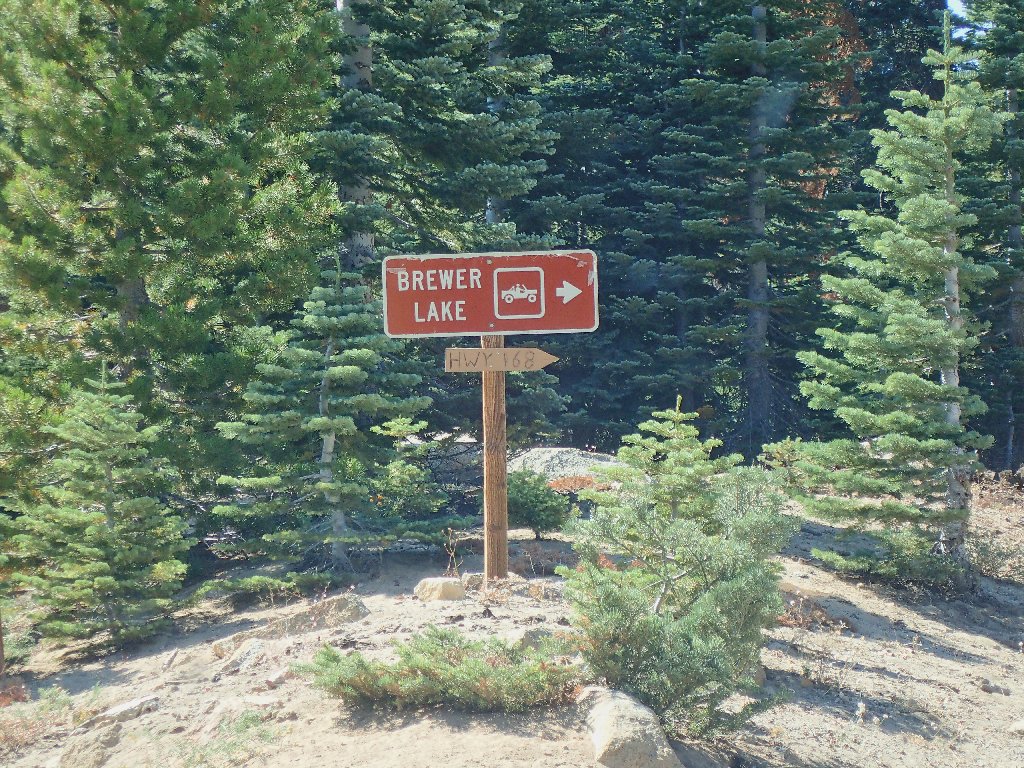
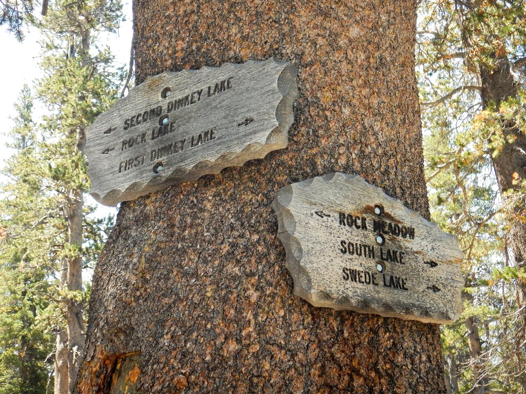
Had I followed this sign...
... I wouldn't have been in this predicament
At least I finally did something right today. I was home by 8 o'clock.
