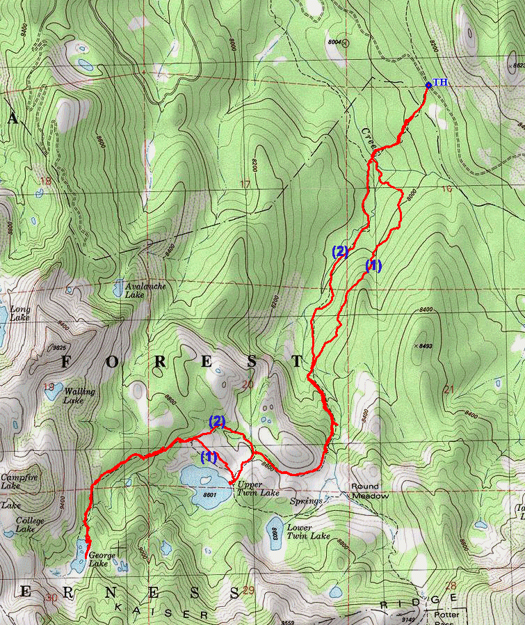
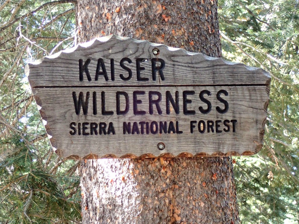
Kaiser Wilderness
|
George Lake Kaiser Wilderness |
August 24, 2016
I am on a two-day quest to visit two wilderness areas new to me.
In fact, although I am quite familiar with the other half of SR-168 on the
eastern side of the mountains, I never have been up this this road previously.
I make a slight miscalculation by letting my iPhone direct me to
Huntington Lake. It offers a time-saving shortcut that I
accept, failing to appreciate that the actual community of Huntington
Lake is on the other side of the lake from the main highway.
My scenic detour costs me about fifteen minutes.
The most popular route into today's venue is over Potter Pass, then down into
the lakes basin. As I drive by the trailhead, however, the hillside route
doesn't look particularly appealing; so I opt for Plan-B.
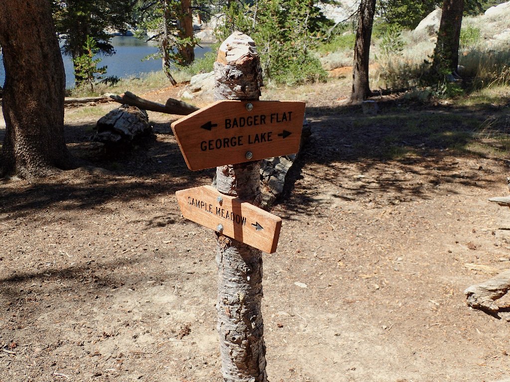
Continuing on the one-lane Kaiser Pass Road, I turn off where a signpost
points to the Sample Meadow Trailhead. This route will be a bit longer,
but perhaps prettier.
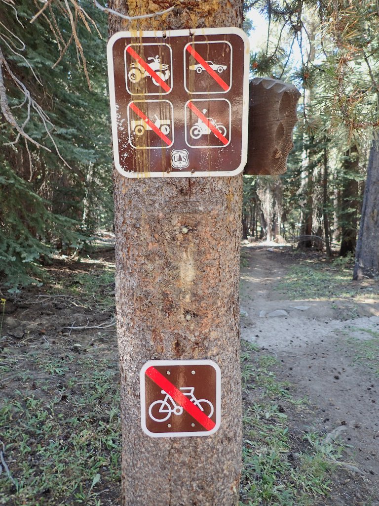
Only hikers need apply — perfect!
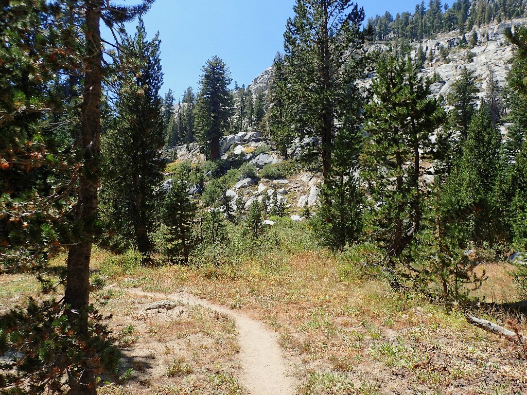
My first visit here
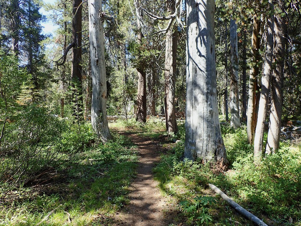
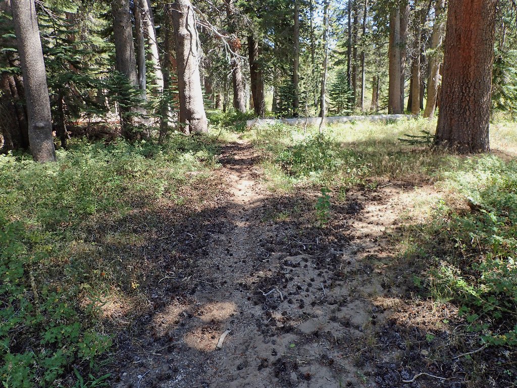
Starting down the path
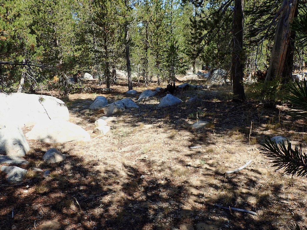
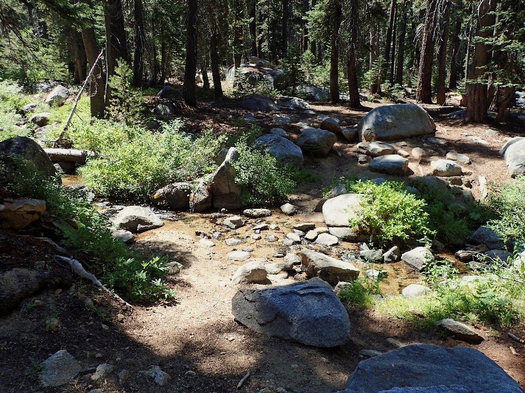
Within half a mile I begin losing track of the trail, finally misplacing it altogether.
This cannot be the right way
This being a standard Ted-Hike, hunting about and relocating the trail doesn't
seem to be an option. As is my wont, I plunge ahead in the presumed
appropriate direction, hoping to meet up with a well-worn path soon.
Going where no one has gone before
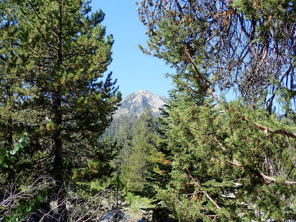
Kaiser Peak, 10310'
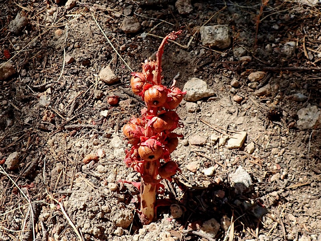
An aging snowplant
The going is easy enough at first; but then the usual combination
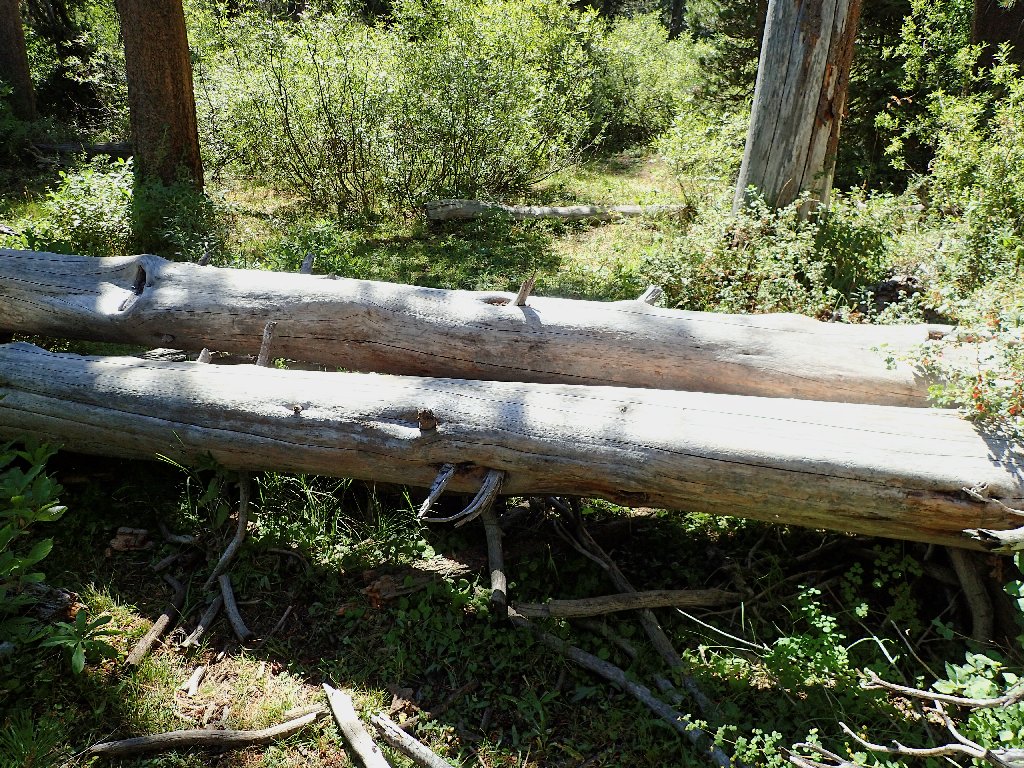
of willow thickets, rocky washes, and log-hopping ensues.
Finally opting to veer toward Kaiser Creek where my map says the trail
is, I serendipitously encounter the path just as it crosses the stream.
It's a good thing that I didn't wait any longer to come over this way.
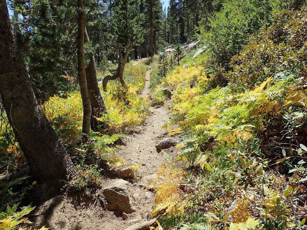
Back on track
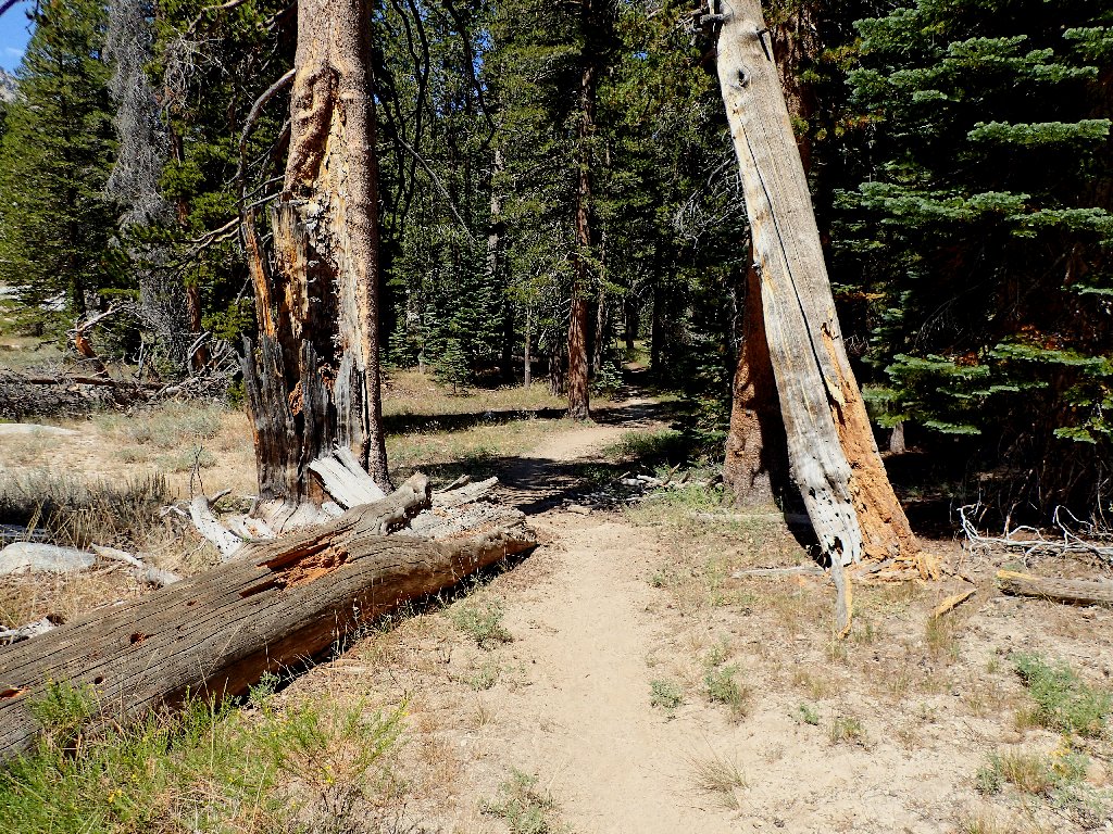
On a real trail again
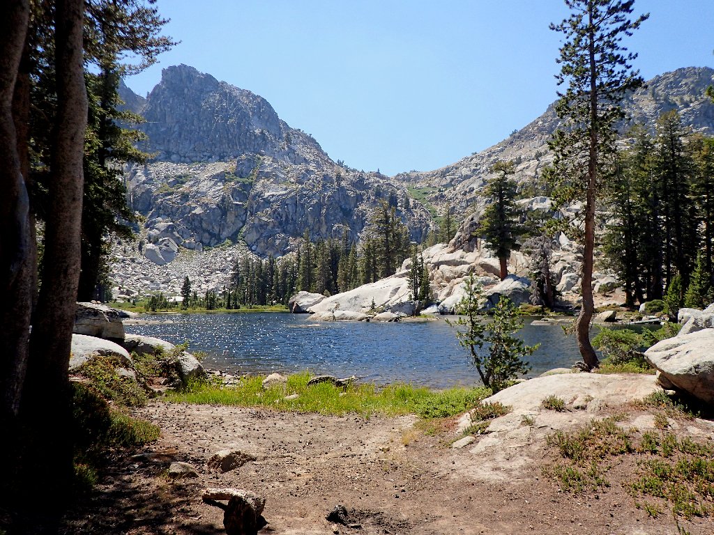
The first destination comes into view

Upper Twin Lake
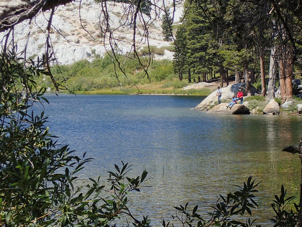
The three fishers are the only humans I would encounter today
For what it's worth, my regular camera is in a repair shop across
the country. This is the first hike on which I have used an
Olympus TG-4, the industry's top-rated "tough camera"
model. It seems to be doing a good job, which is good, because it
is slated to see a lot of action next March in rainy New Zealand.
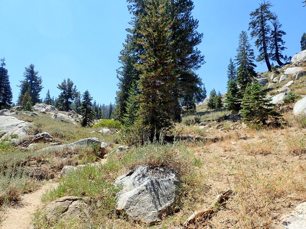
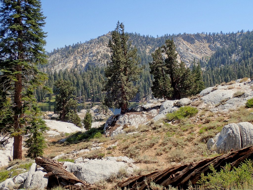
Most of the peaks are unnamed
After rejecting the usual mental debate as to whether to continue up the
trail to possibly more interesting things, I set out on another short
off-trail detour.
I believe that I'll head for George Lake
Barely visible through the haze can be seen what for my money is the most beautiful section of America's most beautiful mountains:
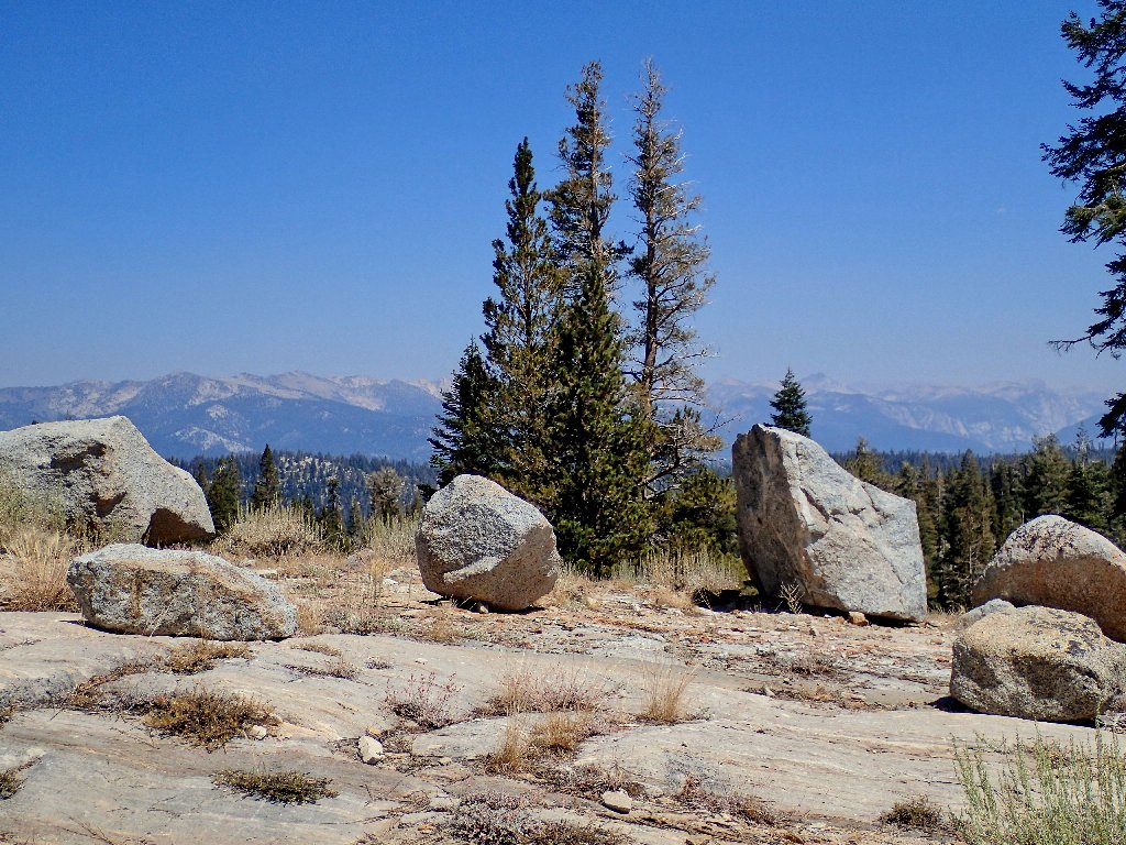
The Sierra Crest in Kings Canyon National Park
Mount Ritter, Banner Peak, and the Minarets are in view. It was just a couple of weeks ago that my sister terminated her John Muir Trail trek in that area due to an injury. She will be back, and I have a lot of unfinished business up there myself.
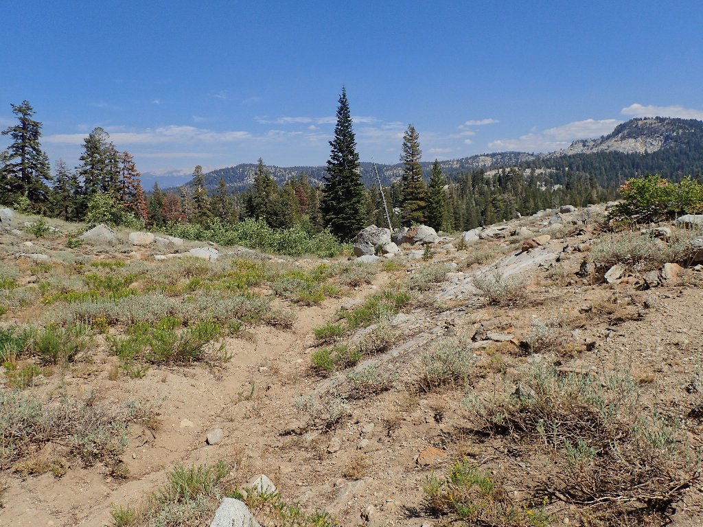
On a real trail once again
A hint of autumn, in mid-summer
My enterprise is rewarded, of course. The area closest to the cliffs and peaks invariably is the most scenic.
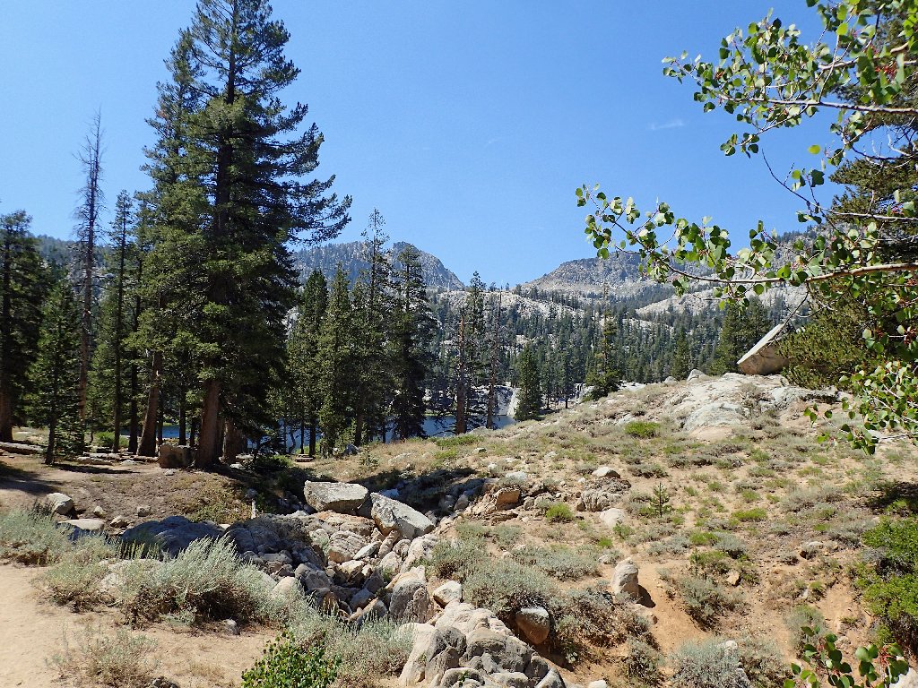
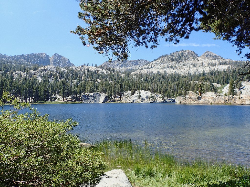
George Lake
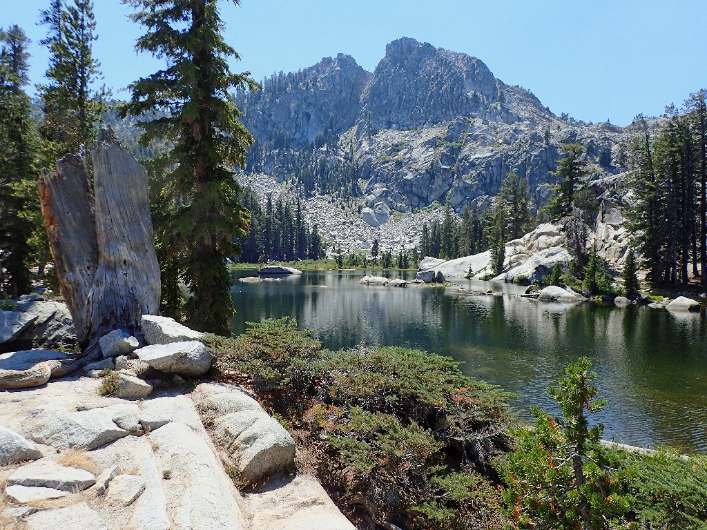
This could be the jewel of the Kaiser Wilderness, at 9,000 feet
Although I am but 150 miles south of my home environs, the climate is noticeably warmer down here. Here today, most of the flowers already are nearing the end of their annual cycle:
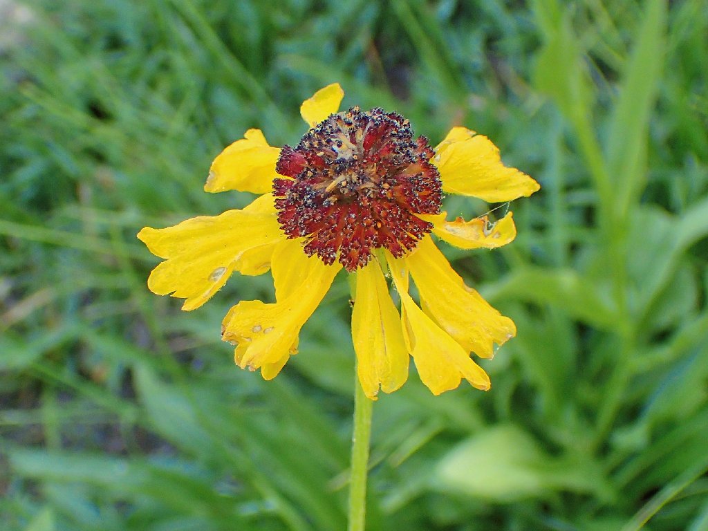
Bigelow's Sneezeweed
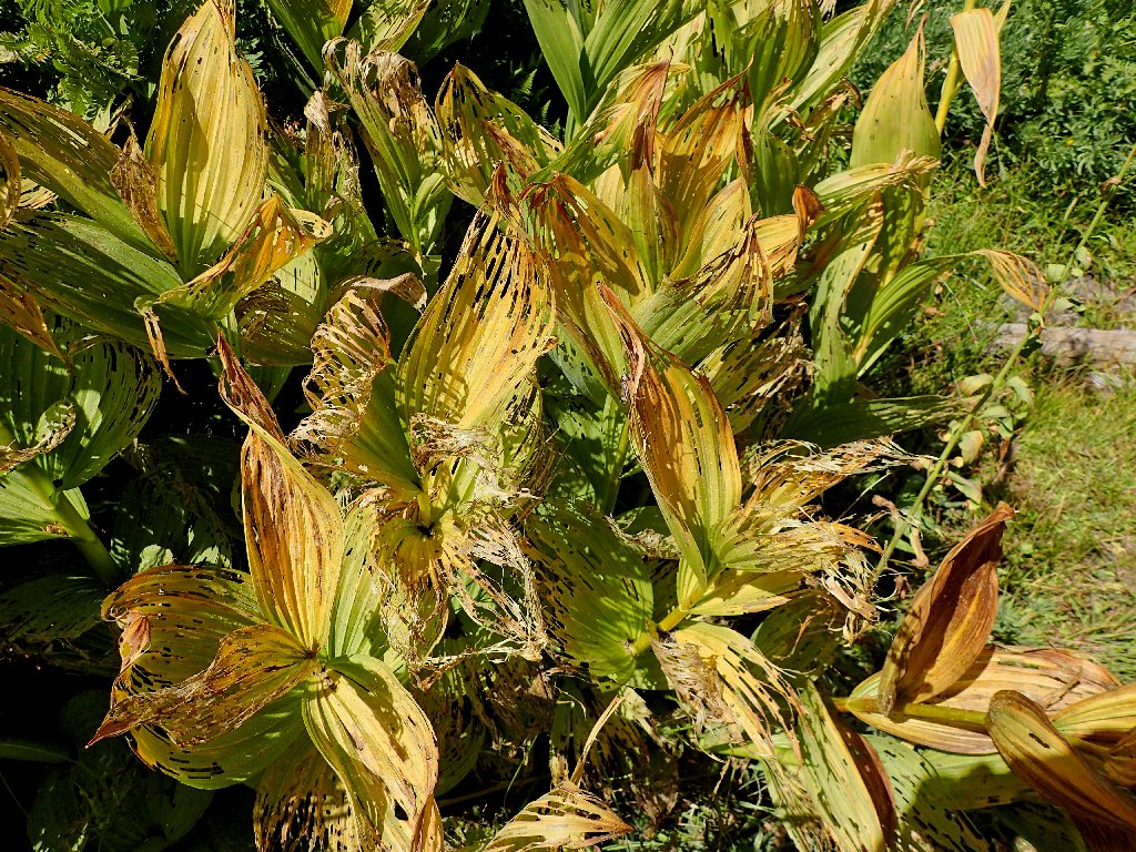
False Hellebore
Starting back, I opt for yet another alternate route, but one that actually is on the map.
Bypassing Upper Twin Lake this time
The route is faint, but others do use it
My detour ends right at another creek crossing. Déjà vu.
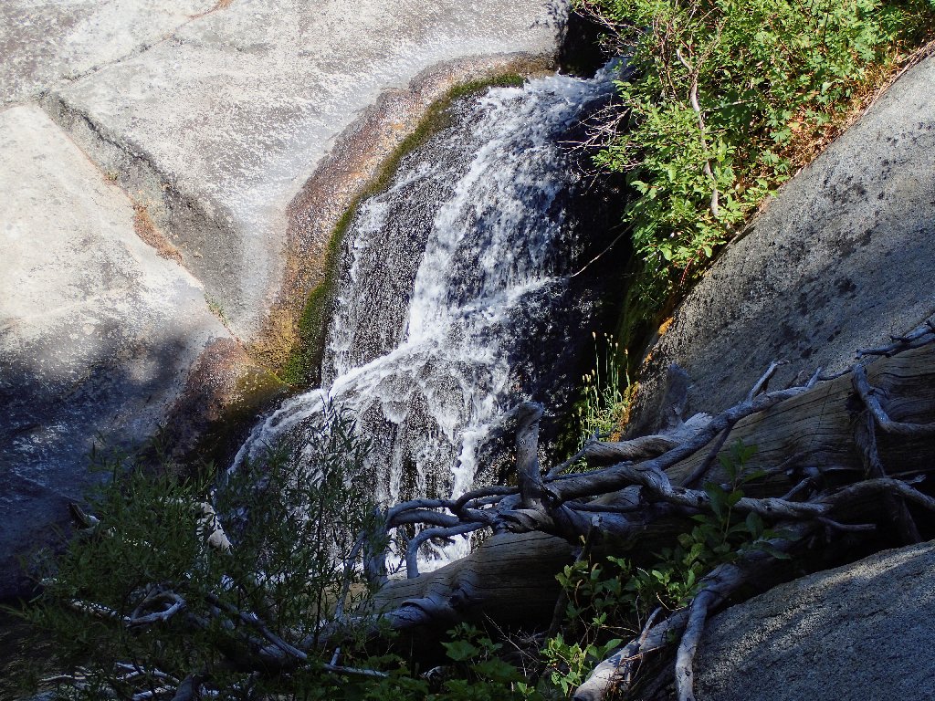
Sounds of running water beckon me over here
Still on the trail
Back near the point where I had launched off into the forest, I find what must be the spot where I went astray earlier.
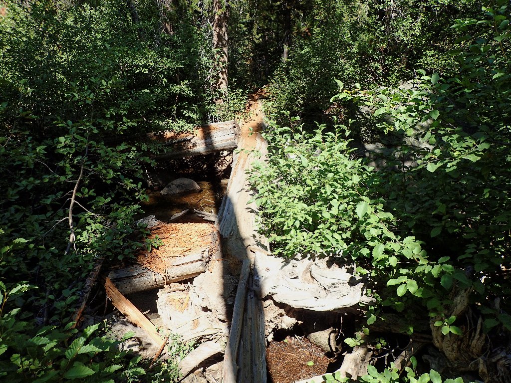
Some hikers opt for a different way over the water; but this one is fun
A slight uphill trek ends my journey. There was no trouble at all in keeping track of the trail on the return leg.
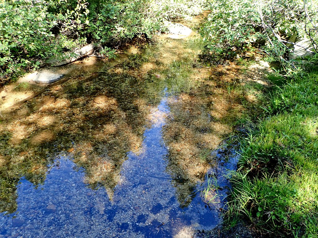
There are some fish in there
§: This area is about what I had anticipated —
mellow, lightly used, and only moderately spectacular. The walk
would have been nicer earlier in the season, with more water and more
flowers around; but of course that's how it always is in the Sierra,
when July is the best time to be alive.
It would have been little farther to have looped down to Lower Twin Lake as well; I should have done that. My bushwhacking foray didn't wear me down that much. Also, the Potter Pass route might well have proved more interesting, albeit with more climbing involved.
| Scenery |  |
| Difficulty | |
| Flowers | |
| Adventure | |
| Solitude |  |