
Eldorado National Forest
|
Silver Fork Potholes Eldorado National Forest |
July 10, 2016
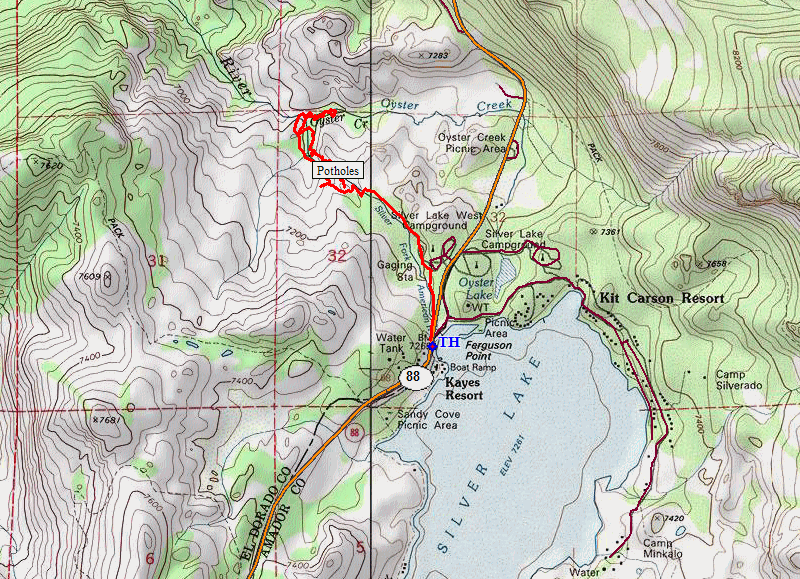
Behind the Silver Lake West Campground is a collection of granite potholes in the Silver Fork of the American River. Although I had camped near here many times as a child and have hiked around here many times since then, somehow I never knew about this feature with which every area camper does seem familiar.
Looking to do a little walking on my way home from yesterday's annual
Death Ride Bicycle Race, this is a good time to investigate those potholes
and whatever else I might find. I have mapped out some
cross-country options as well, but we'll see how that goes.
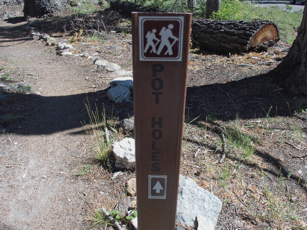
This sign is right beside the highway
I cannot start at the campground itself without paying a fee, but there
is a parking area just up the street. A handy well-used trail
leads back to the campground.
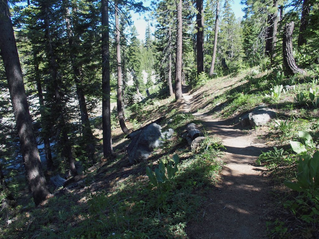
The trail parallels the river
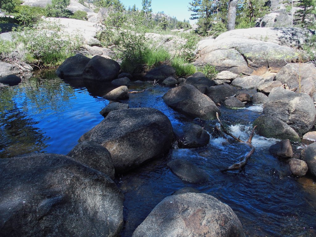
Some water still is flowing. This is important.
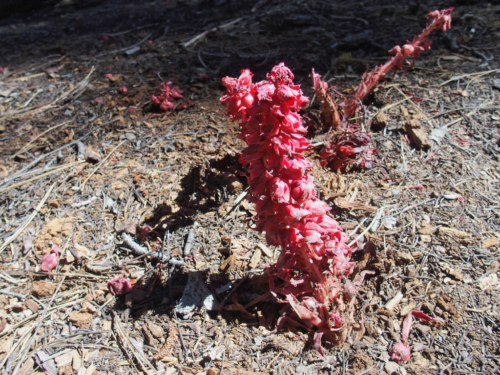
Snow Plant
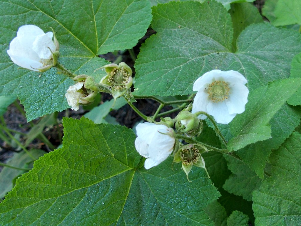
Thimbleberry
At the far side of the campground I find another signpost pointing to the trail. Within ten minutes I have reached the destination.
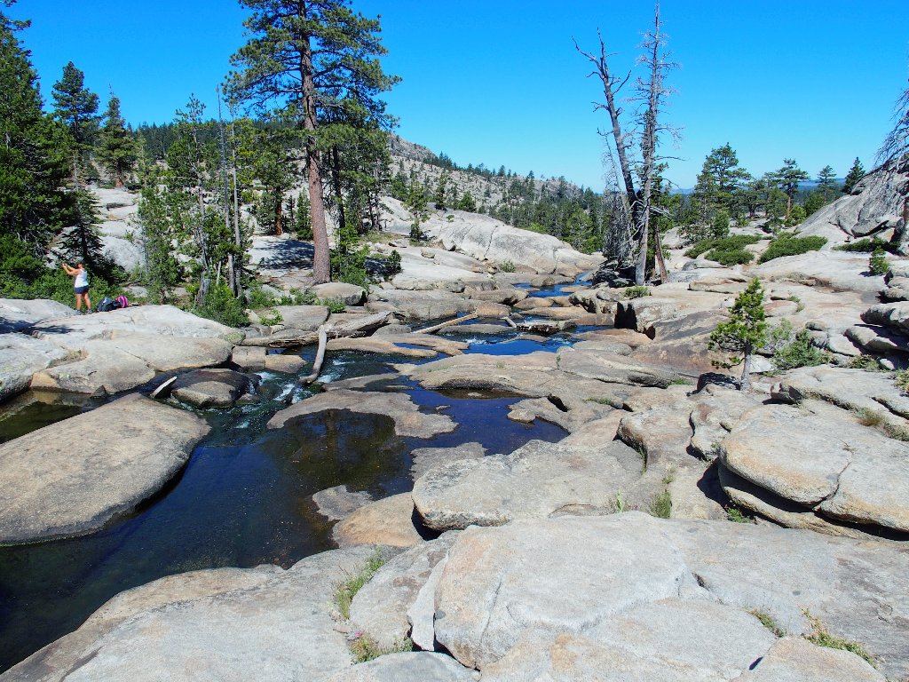
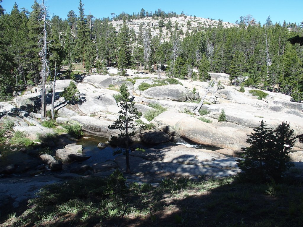
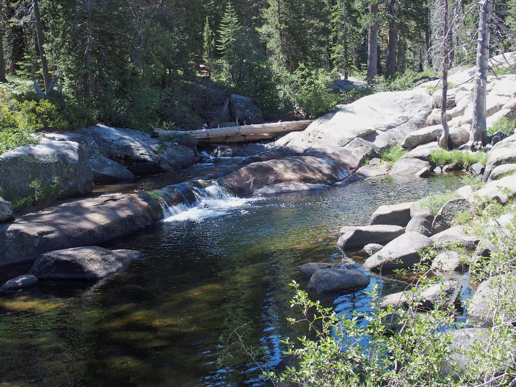
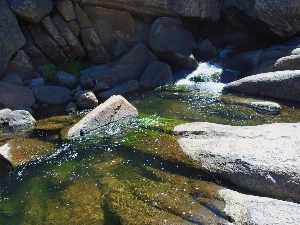
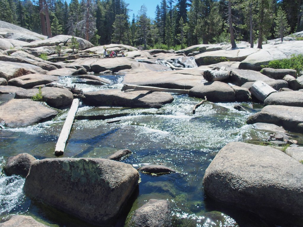
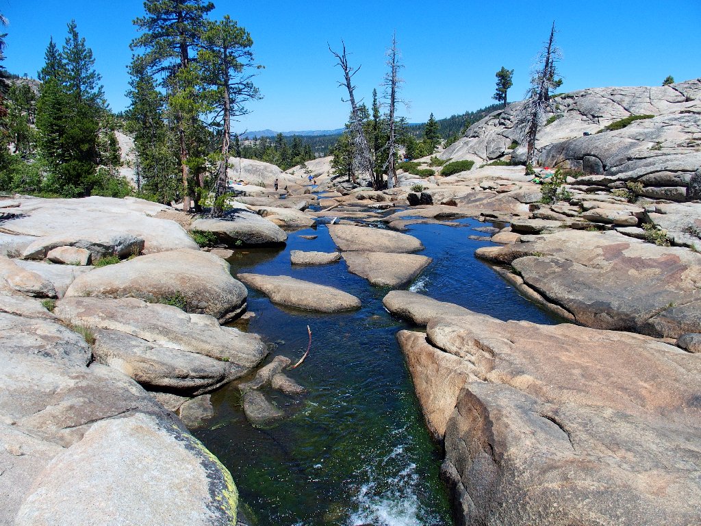
The Potholes appear
Almost immediately, I encounter a woman emerging from the water topless. She lies down on a flat rock unconcernedly, and I go about my business as well. Doubtless she won't remain in that state much longer, for lots of other visitors are beginning to appear.
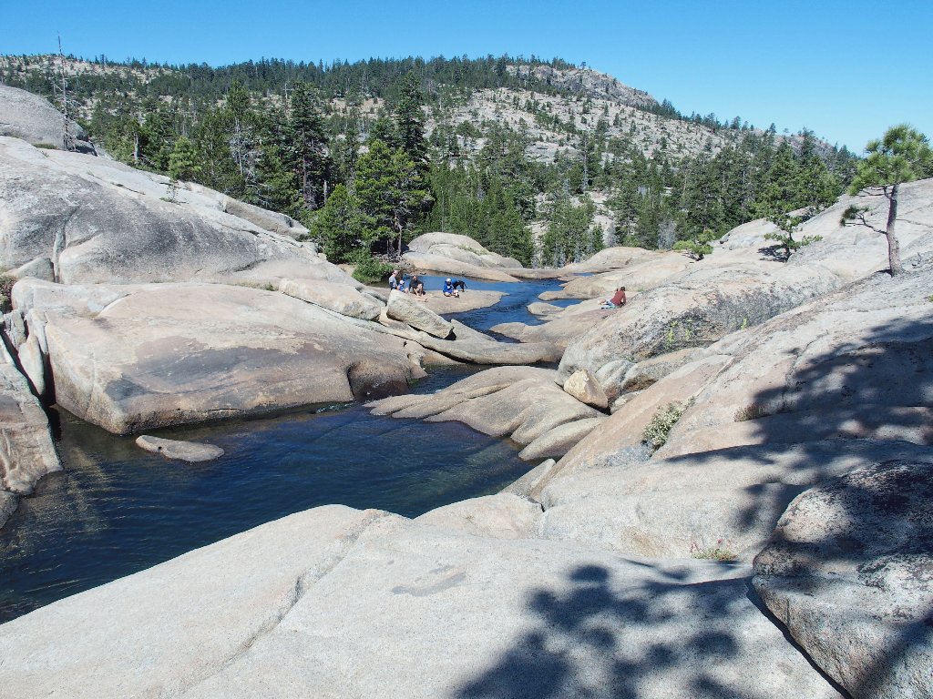
This definitely is a popular place
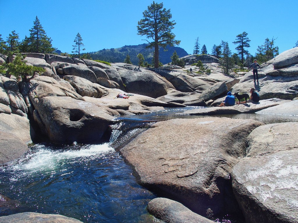
More people are arriving by the minute
Boulder-hopping along the northern side of the river, I reach an impasse at the brink of what might be a pretty nice waterfall at times.
End of the line
Continuing to the right, I find a use trail of sorts that does make progress easier. There even is an occasional cairn to assist me in finding the path.
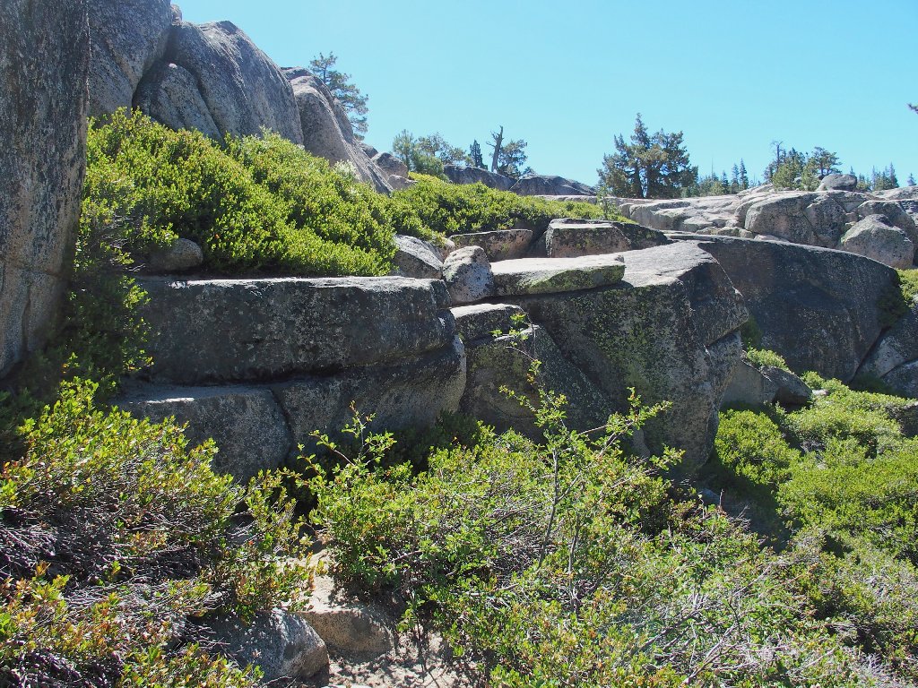
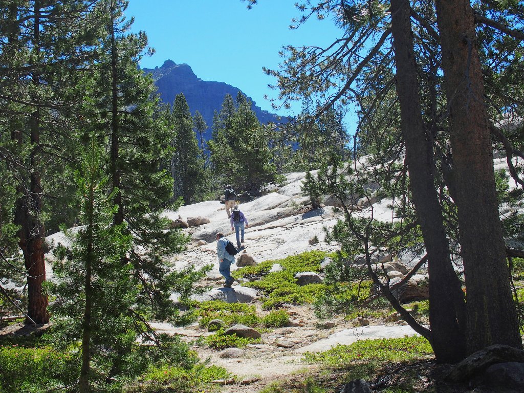
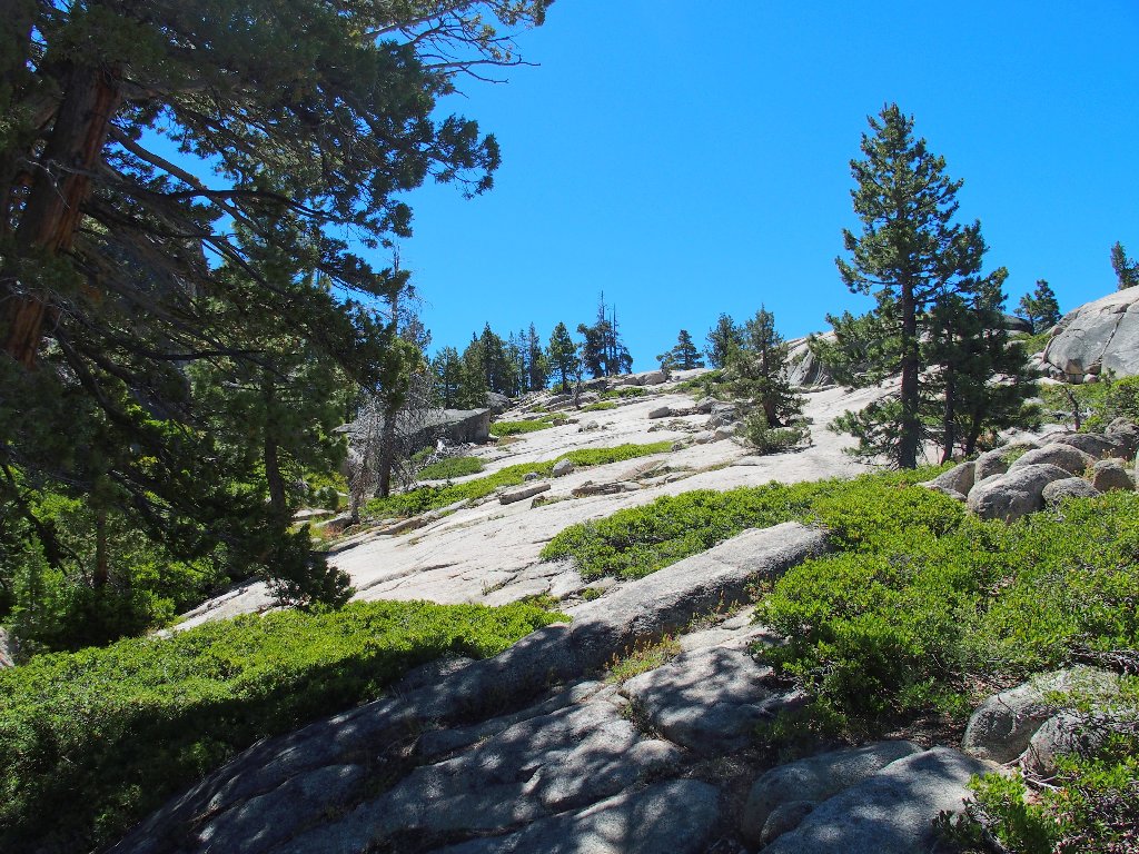
Looking east toward Thunder Mountain
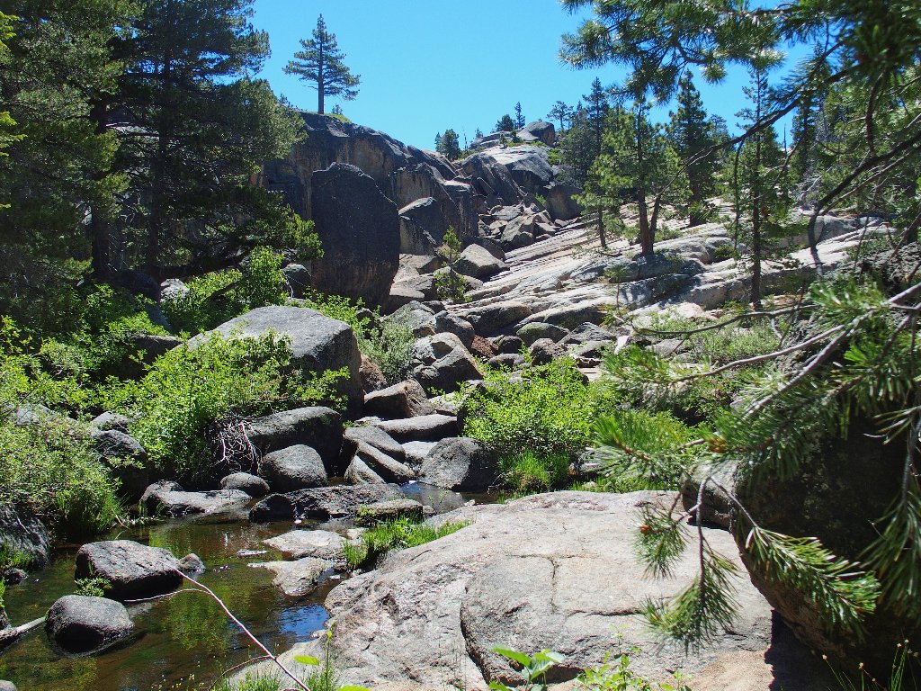
On the other side of creek is a very interesting granite slab down below that I have every intention of exploring.
See you later
Perseverance pays off. Eventually, by following the most obvious route over boulders and through the manzanita, a final granite stairstep lets me get closer to the river.
A handy ledge
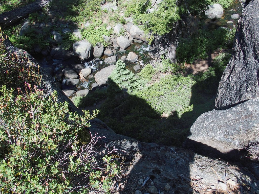
It's not over yet; I'm still on the cliff
Another careful scramble down among some rocks finally accesses the canyon bottom. What a fun route that was!
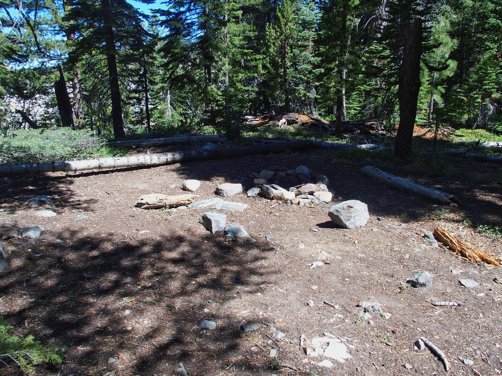
A nice campsite
This camp lies about forty feet above the creek. Near the water
is a threesome of middle-aged women. As I pass by, one of
them asks whether I came over from the Potholes. I am pretty sure
that they did not.
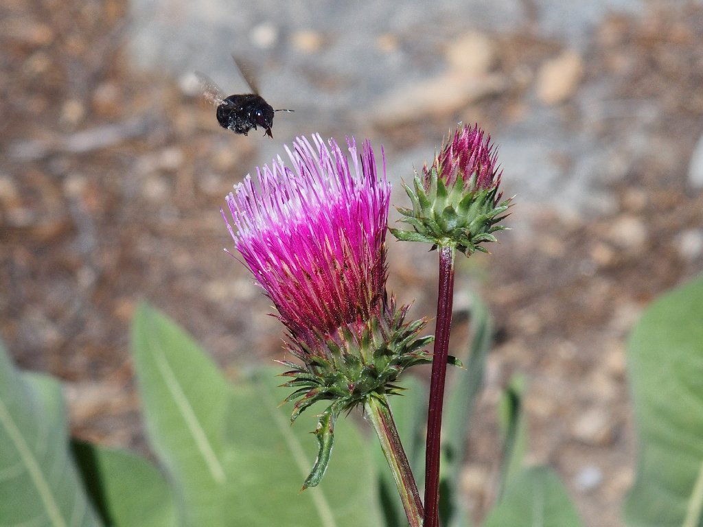
Western Thistle
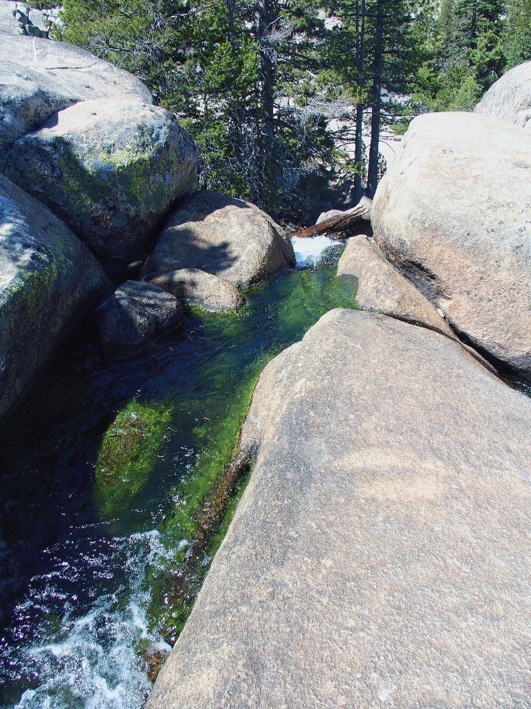
The water is green with algae
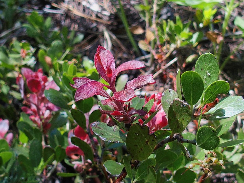
Bearberry
The three women head back toward the highway
Oyster Creek is coming in from the east. I must find a way across it in order to continue downstream; but although I can hear water running, I can see only willow thickets. During my search, I find a little sign identifying the Tahoe National Forest; but the sign is pointing toward the creek! There must have been a little trail through here at one time.
In any case, I decide not to continue downstream, but to ford the river and head back.
A fairly easy crossing
The Silver Fork flows all the way down to its confluence at Kyburz
Presently I run into a creek bed leading to the right. My plotted waypoints would have taken me up that way, but the prospect doesn't seem very interesting now in light of the fact that the little creek is totally dry.
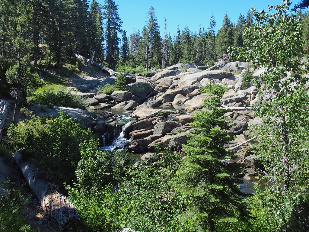
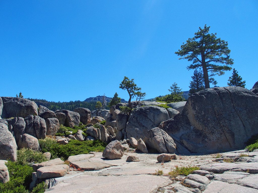
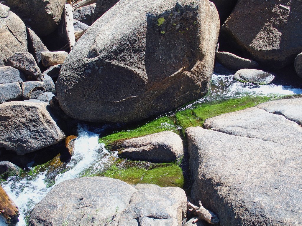
Those interesting slabs that I spotted previously are just ahead
I cannot walk straight up the angled slab; occasionally, I must veer to the right in order to get around a wide gap in the rocks.
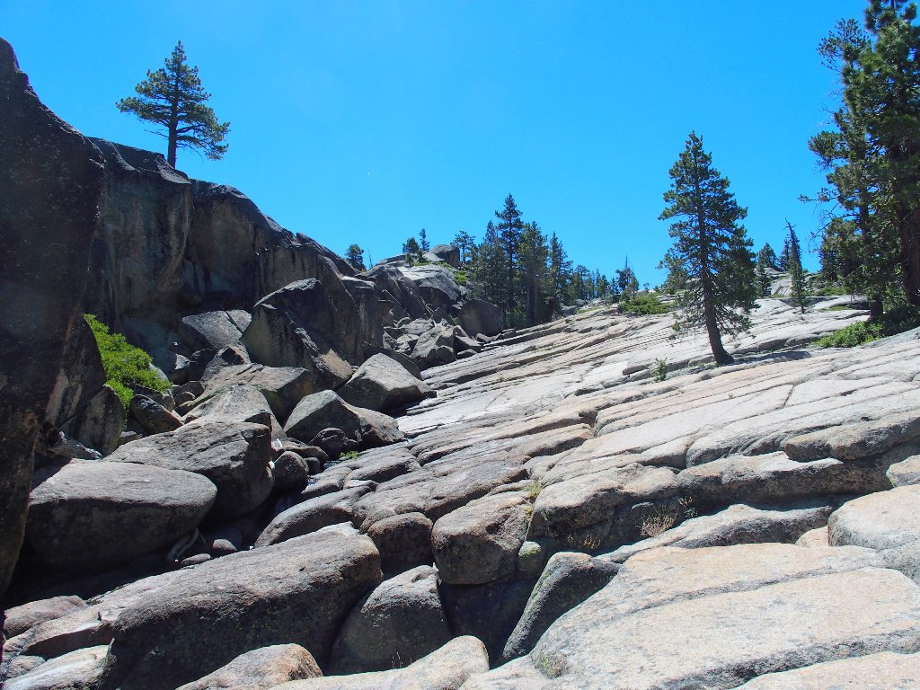
This 'river-bed' traverse is highly enjoyable
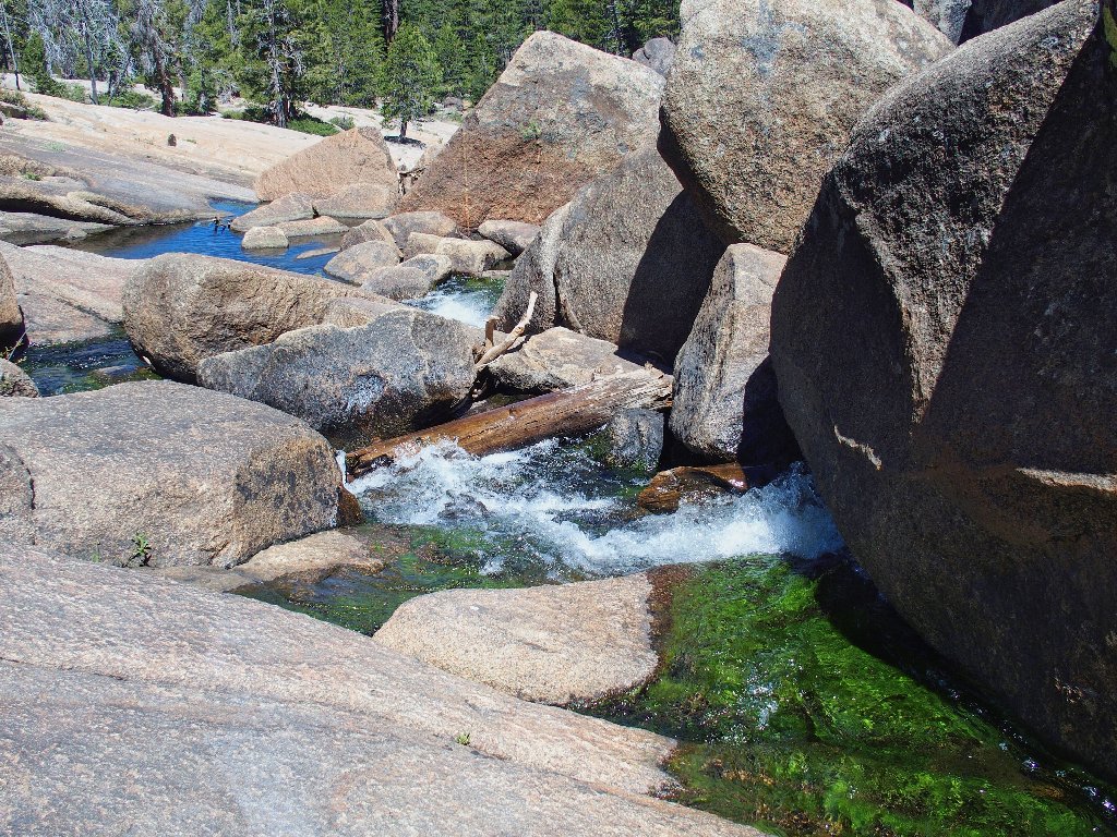
Doubtless this scene could be quite spectacular during times of higher water.
I was up there just a short while ago
The river disappears under boulders, then reappears
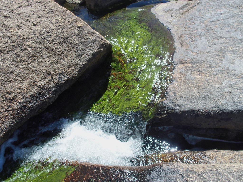
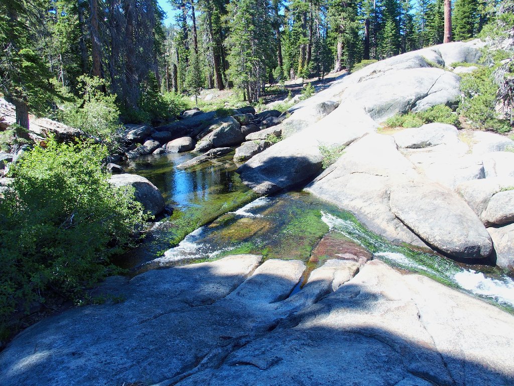
It looks more like a Chartreuse Fork than a Silver Fork
I don't know why the creek bed is filled with green stuff, but its relative novelty provides a pleasing display. This calls for a pause to munch some trail mix.
A good-feeling place
My route takes me away from creekside now. Getting back to the Potholes should be just a formality.
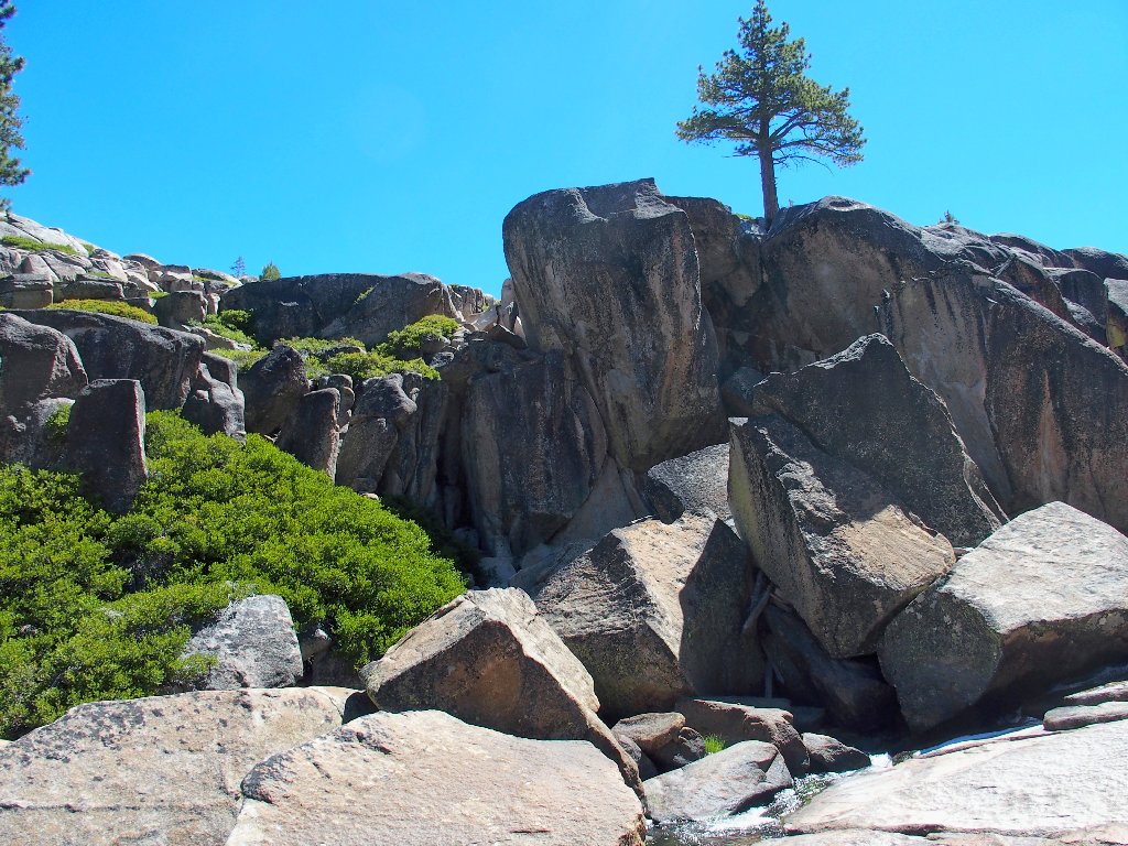
Another slab awaits
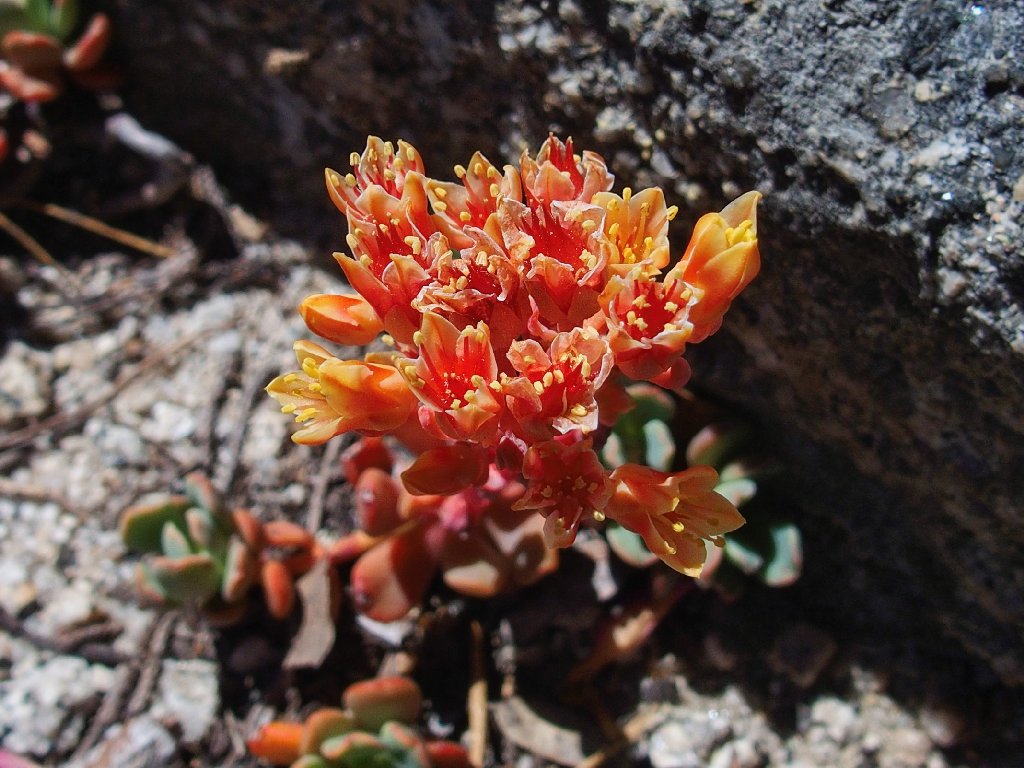
Sierra Stonecrop
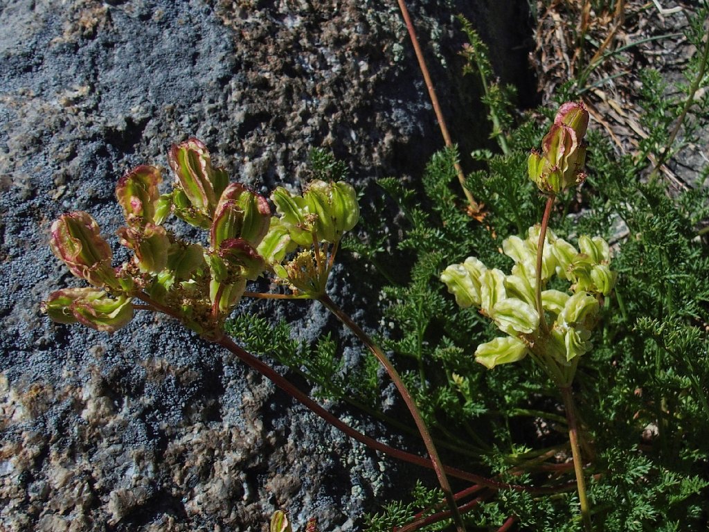
Biscuitroot
Back at the Potholes

By the time I leave the area, dozens of visitors are around.
I'm sure that this place is extra-special to all the kiddies present.
A final view
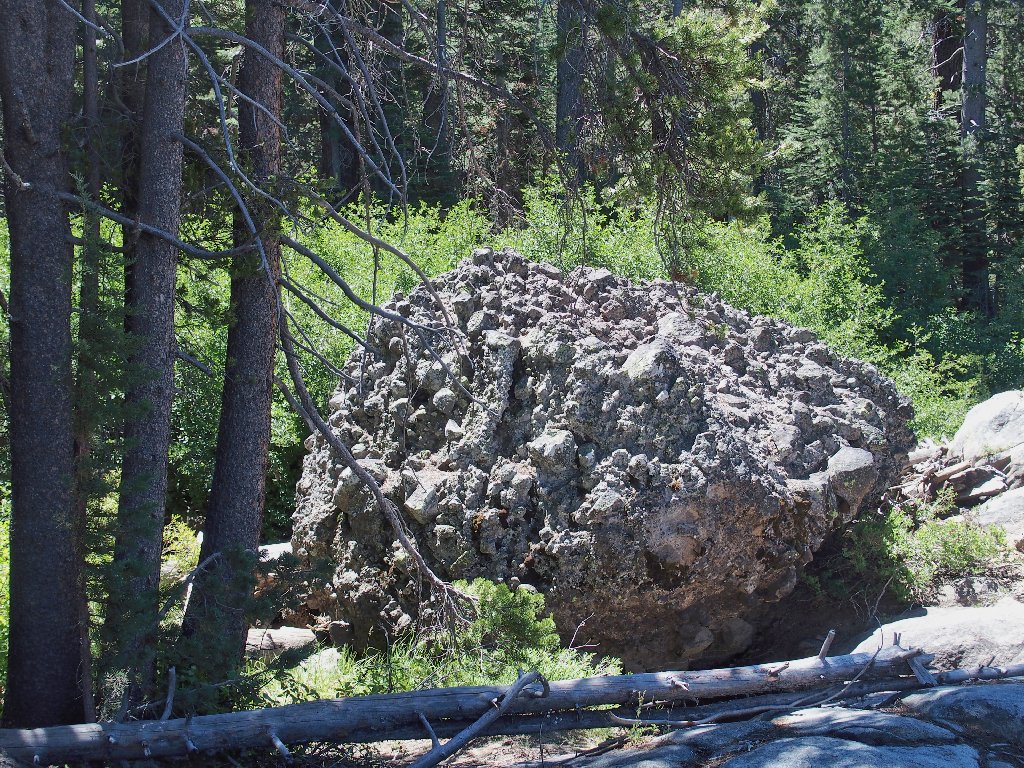
Conglomerate
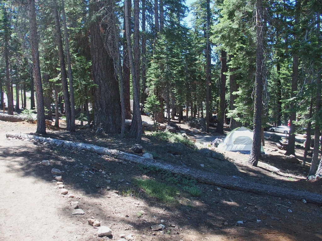
Back at the campground
§: Short though today's outing was, the forays on both
sides of the Silver Fork were most enjoyable. I definitely will
return next season at the earliest opportunity. Although the
potholes themselves will be under deeper water, views of the river
rushing down between the cliff and those slanted slabs should make
the trek worthwhile. Also, there are more whitewater areas
downstream to be investigated.
| Scenery |  |
| Difficulty |  |
| Flowers |  |
| Adventure | |
| Solitude | |
 |
September 2021: This area has burned. |
