
Tahoe National Forest
|
Fisher Lake Overlook Tahoe National Forest |
“Not all who wander are lost.” –anon
June 13, 2016
I have been watching the Tahoe National Forest website for news of the
condition of Huysink Road, but to no avail. Those guys invariably
run a month behind at this most critical time of the year.
Go figure. It isn't that far from home, though; so I check it out,
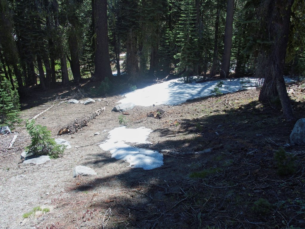
and the area does seem to be snow-free.
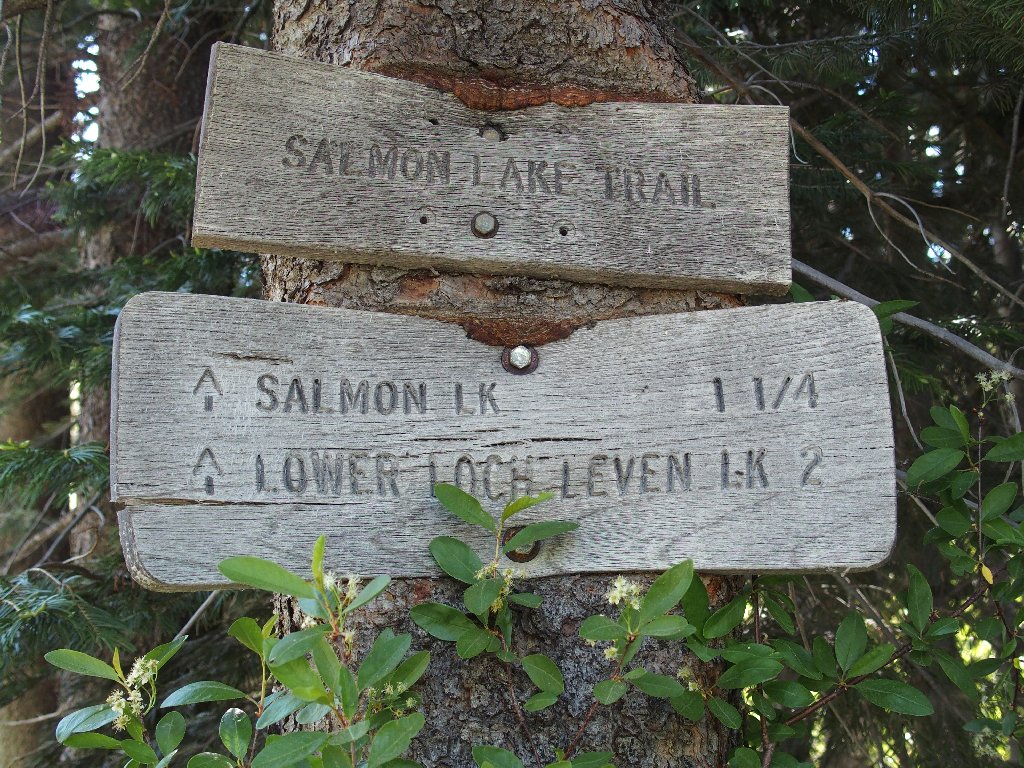
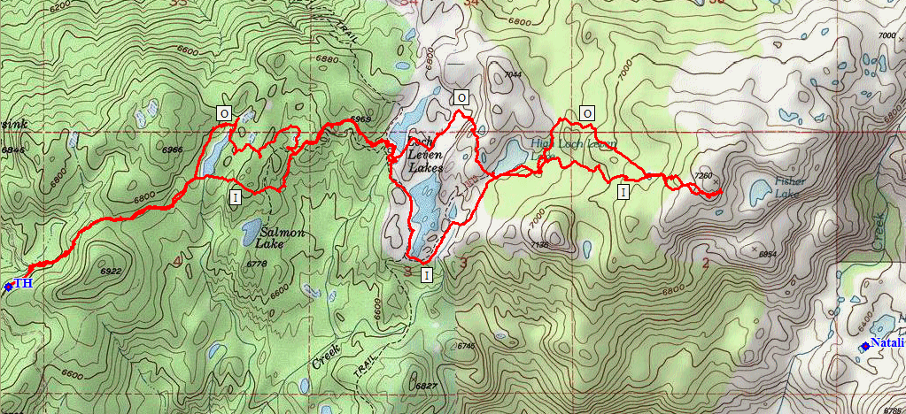
About six miles up the dirt road, I pass right by the Salmon Lake Trailhead without even recognizing it, even though a pickup truck is parked there; I soon figure it out, however.
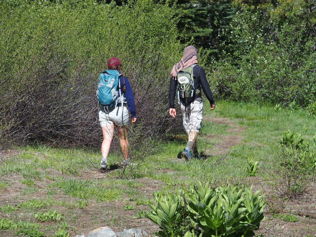
A hiker couple has been wandering up the road, claiming to have come up all the way from the Hampshire Rocks area near Big Bend in search of a trail. How they could have walked right by the Loch Leven Trailhead or ignored the information available at the ranger station is unknown, but I give them a spare map and show them the trail. They won't need to walk on a dusty road anymore.
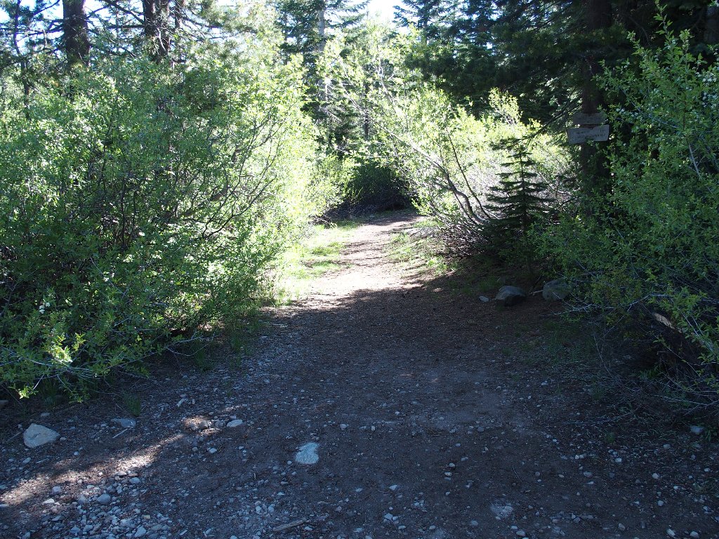
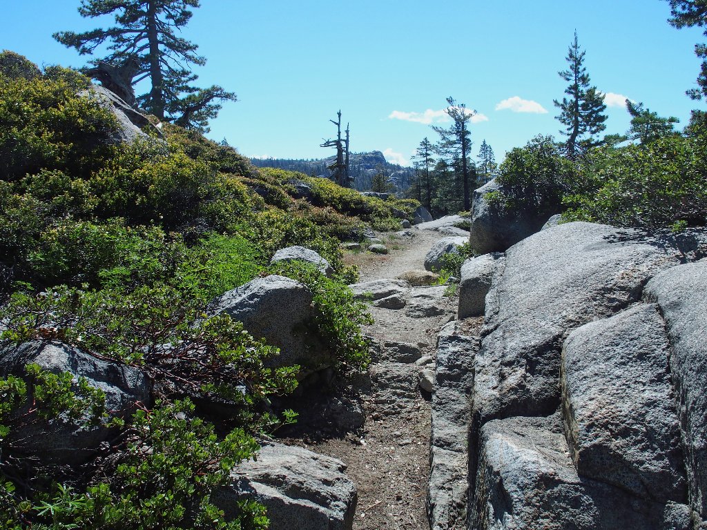
Getting started
The trailhead signage is not easily spotted from the road. As soon as I get onto the trail, the other couple is returning on the pretext of some missing bottle cap or other, and they are not seen or heard from again. I don't know.
They are headed out
I am headed in
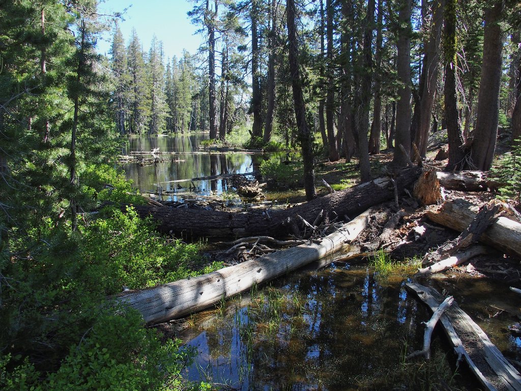
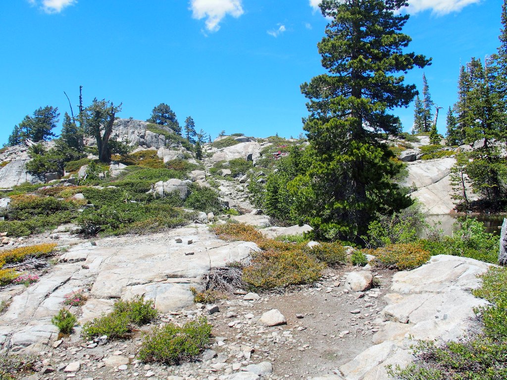
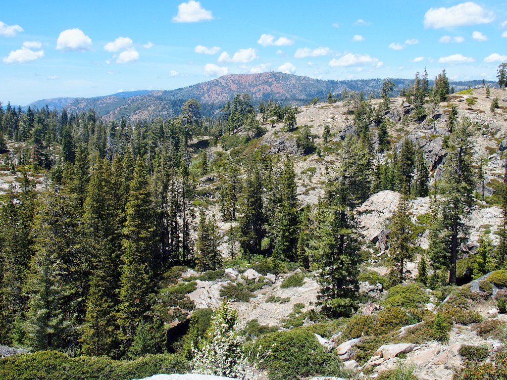
The biggest pond on the route is only partially visible
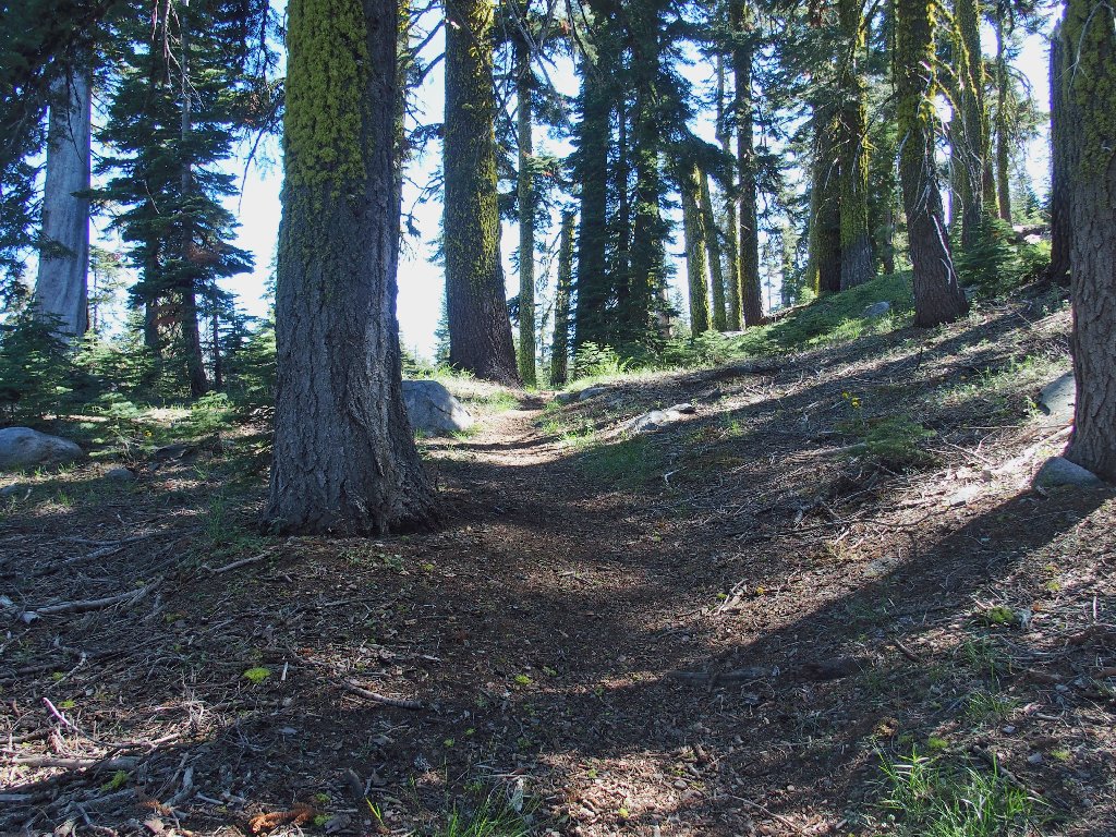
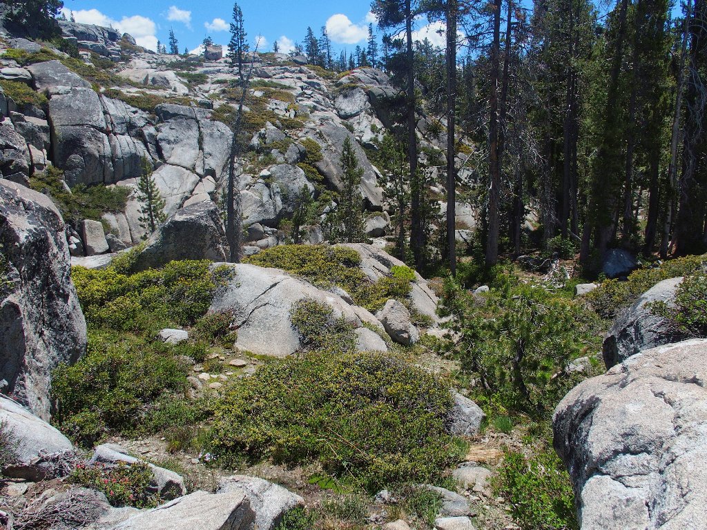
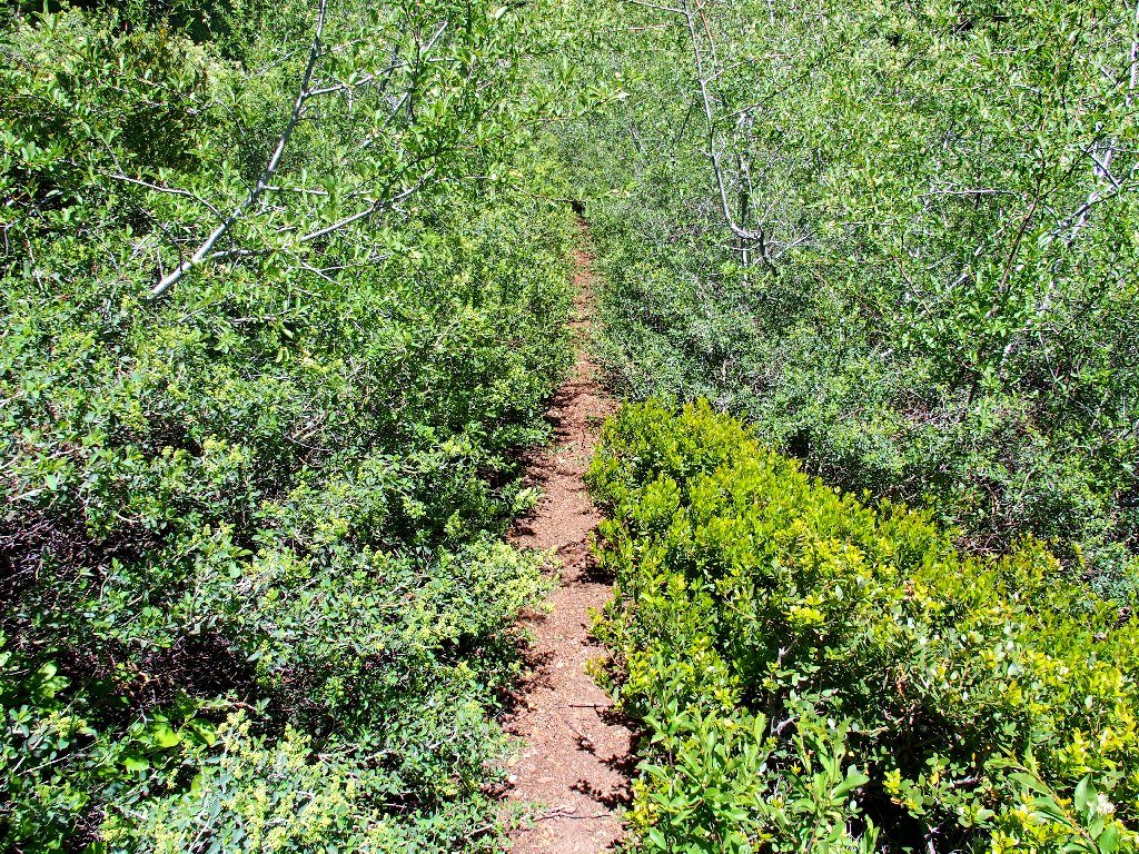
The going is relatively unexciting, but with a few rough spots to keep one alert. Compared to the more popular entry to the Loch Leven Lakes area, this trail is a cakewalk.
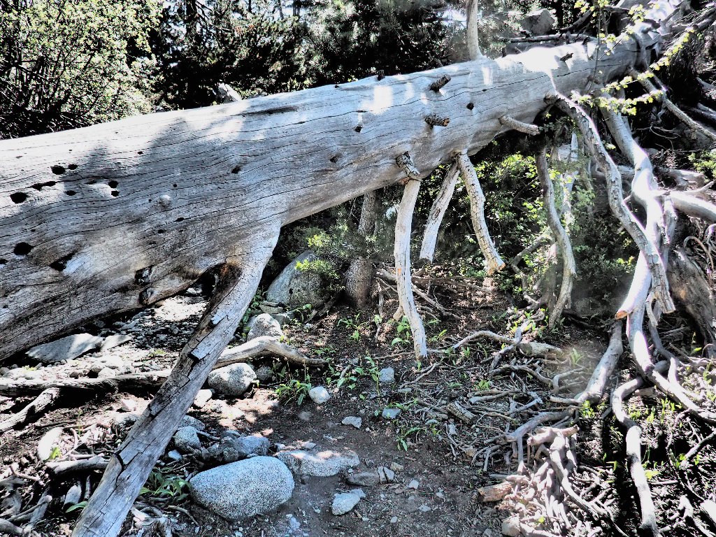
Short people manage better here
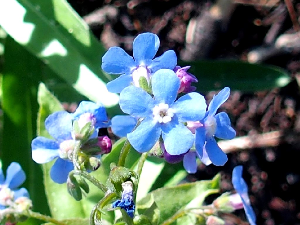
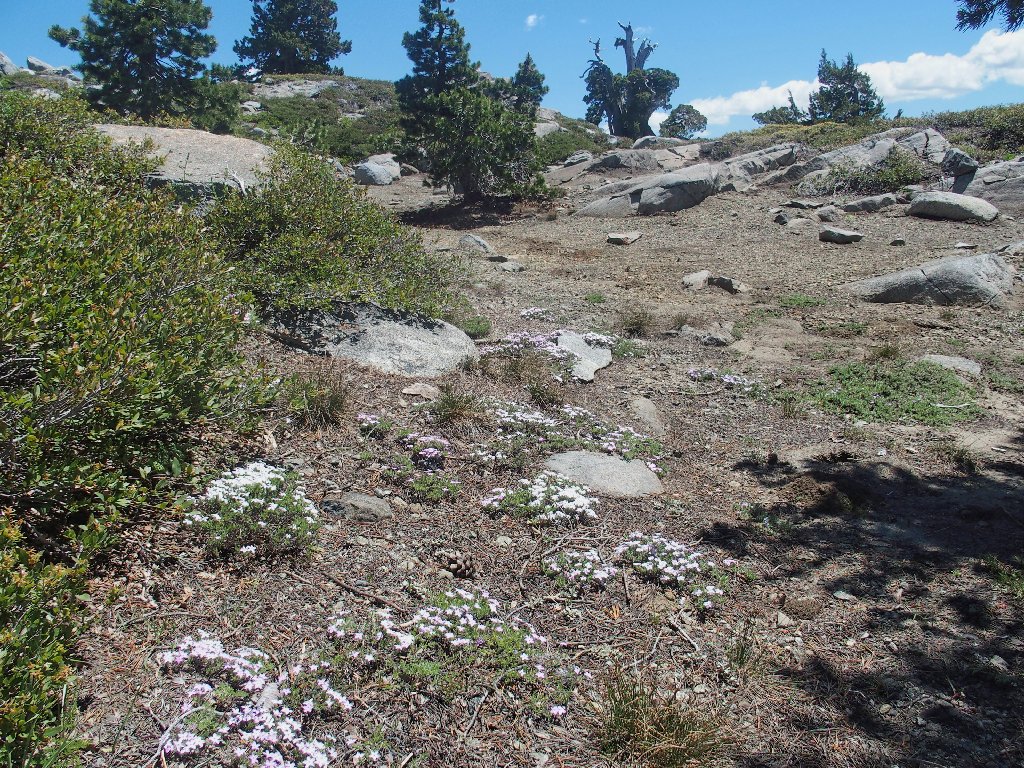
Sierra Stickseed
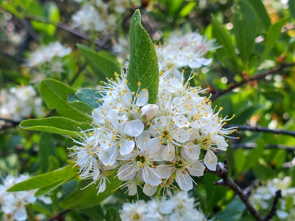
Bitter Cherry
Salmon Lake cannot be seen from this trail, but there is a spot where one can detour just a couple hundred feet to a suitable overlook. I opt to save that for later. Less than a mile farther on is a junction with the main trail at lakeshore.
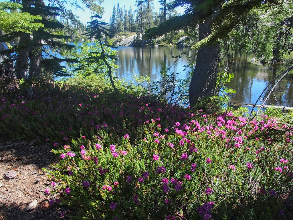
Lower Loch Leven Lake is adorned by early-season heather
Turning south, I manage to lose the trail briefly when I don't
recognize the path. A portion of it seems to have been
re-routed for some reason.
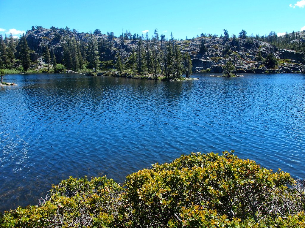
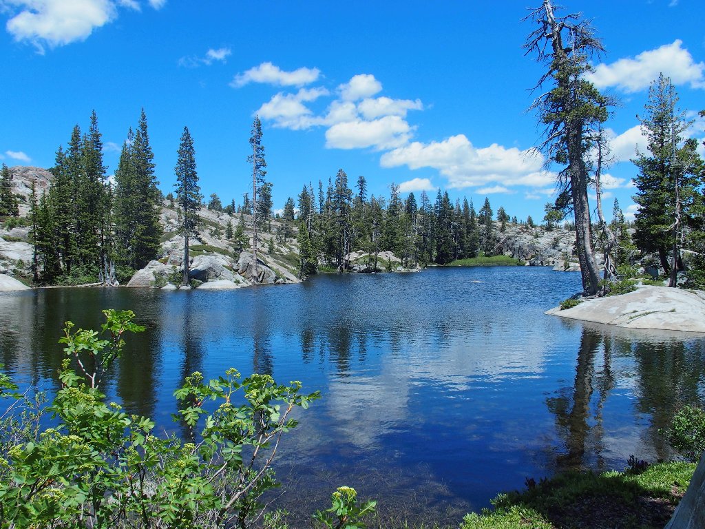
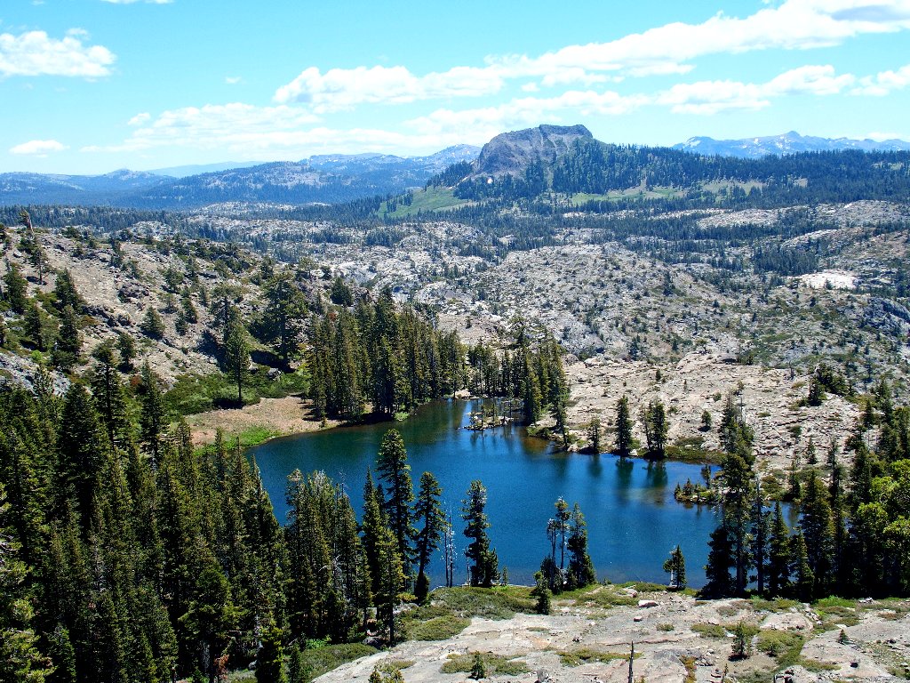
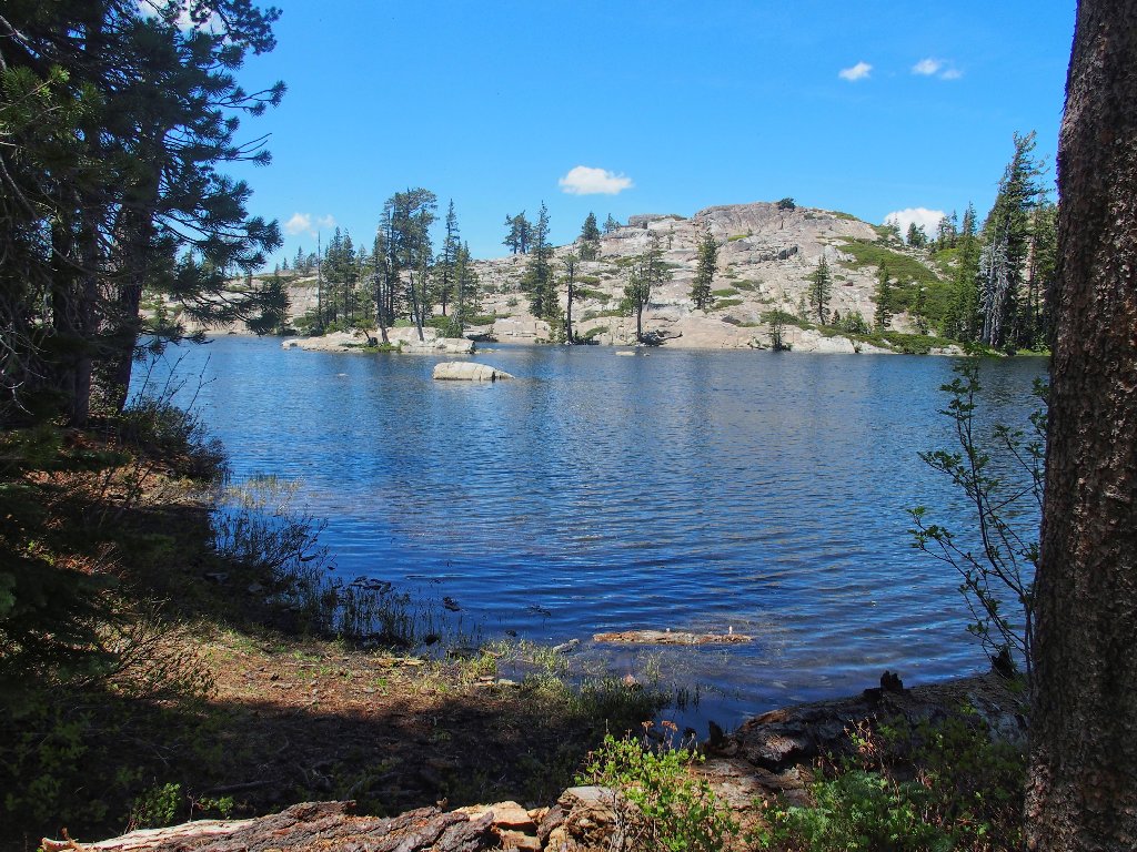
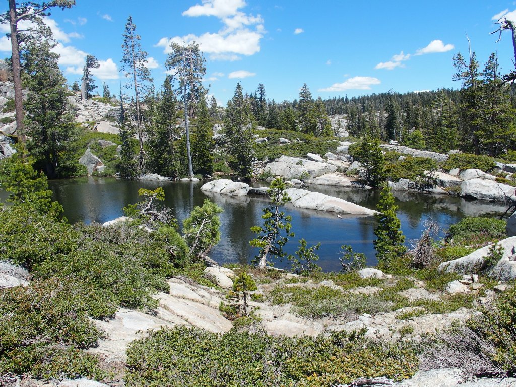
Middle Loch Leven Lake
The Middle Lake is the gem of the area, and it sports several tiny islands replete with trees and boulders.
No one is using the 'beach' today
Swimming in a high mountain lake is vastly more enjoyable than using
a pool of any kind. I have done so at this very spot many times,
but never so early in the year; the water is too cold for me until
mid-July or so.
Loch Leven Larry is working on his tan
Continuing around the south end of the big lake, I head for the third and final one. Along the way, a hiker couple asks where I am headed; then they offer me some snacks, which I politely decline.
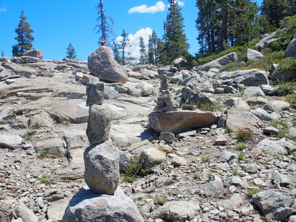
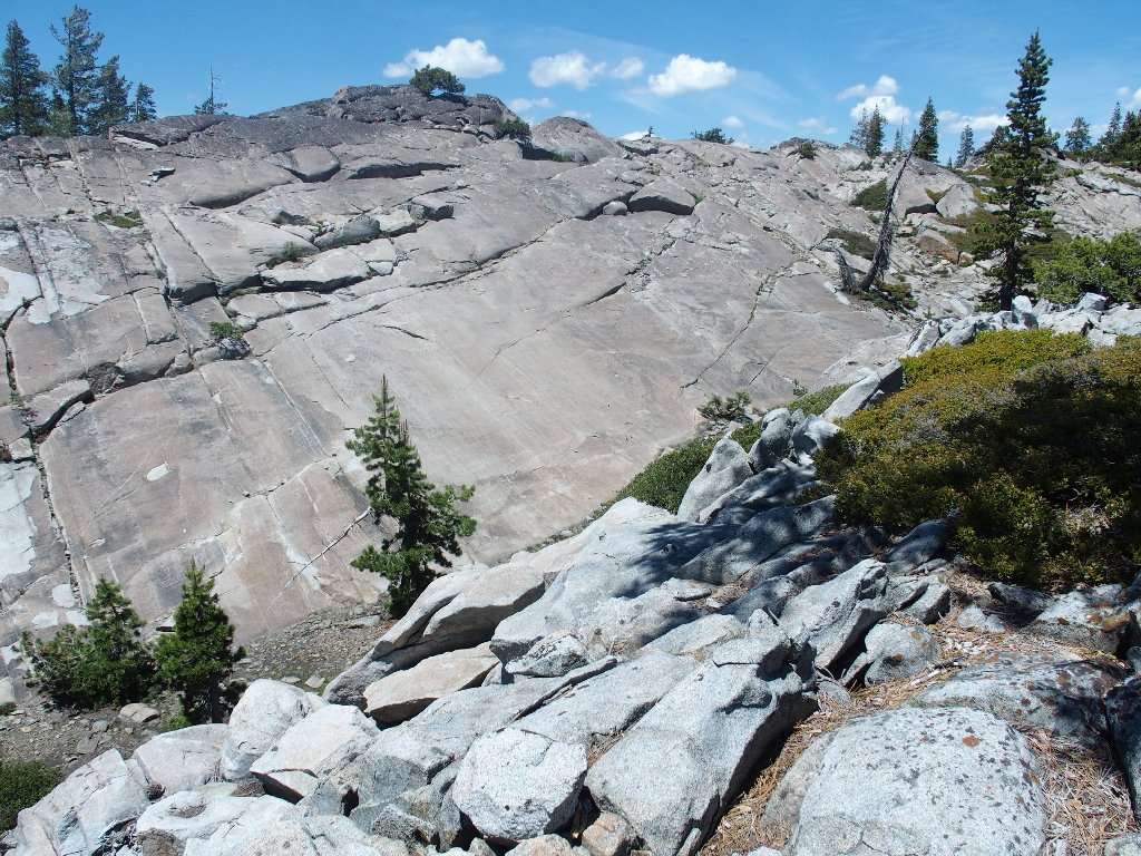
Cairn Corridor
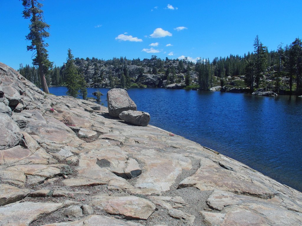
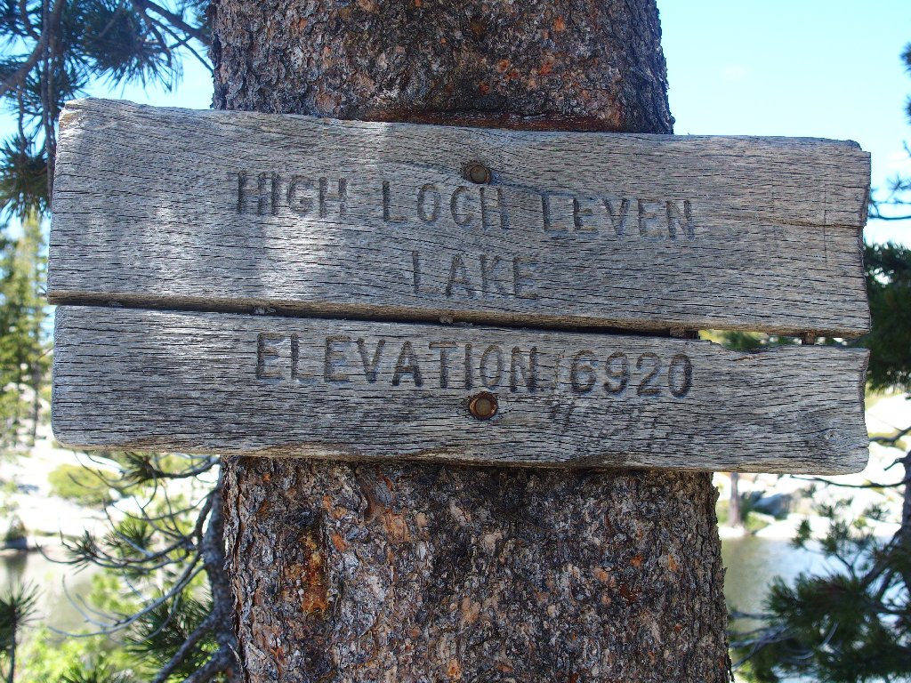
High Loch Leven Lake
The official trail ends here, but of course stopping is not in today's
plan. A mile east is another good-sized lake that should be
worth visiting. Continuing along the shoreline on the use trail,
I find a convenient spot to take a right turn, and plunge into the wilderness.
Uncharted territory ahead
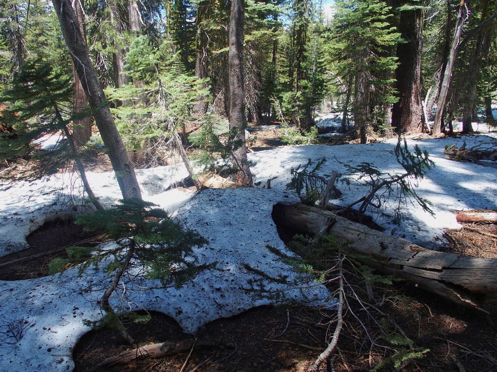
A little snow is fun
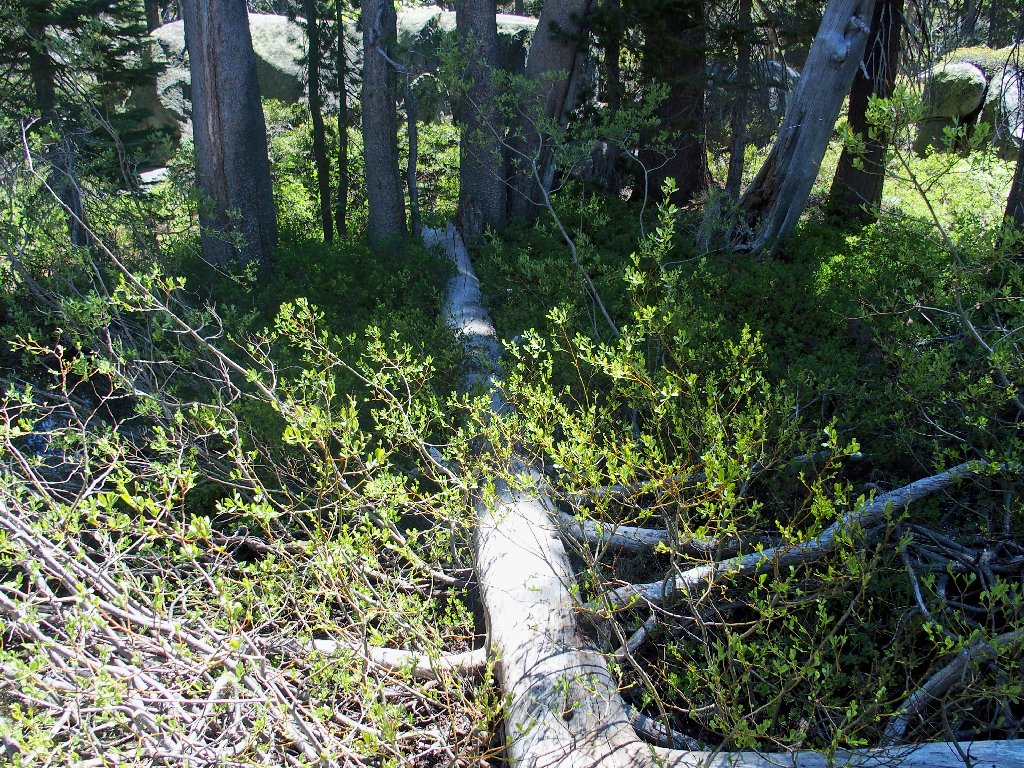
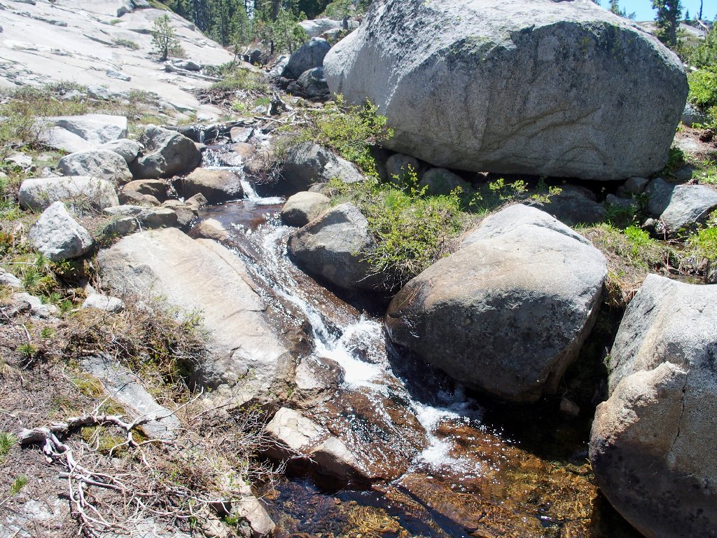
A balancing act bridges a bog
Having only some GPS waypoints as a guide, I am at the mercy of what the forest throws at me. Occasional short open areas are interrupted by watery sections, fallen logs, and willow and aspen thickets. Unexpectedly, I encounter a series of blue ribbons tied to trees and bushes, seemingly marking a reasonable route. I don't know why they exist, but somehow they are satisfying to find.
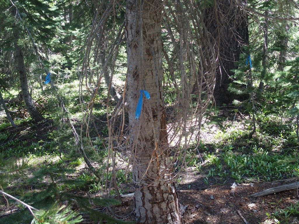
Pointing the way?
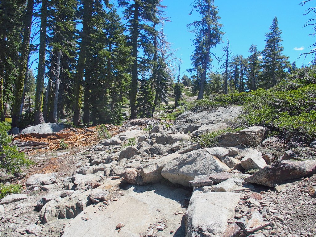
It can't be that much farther
Nearing the top of the hill
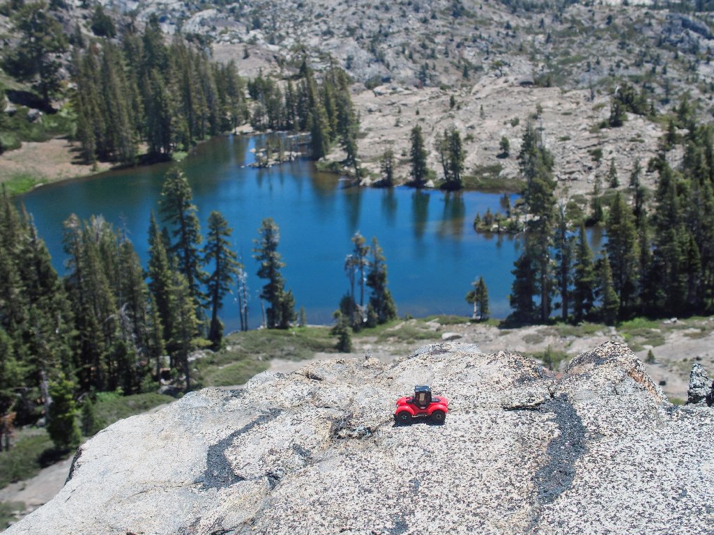
After just a mile or so of guesswork, and after unnecessarily scaling a steep rocky slope, I reach the edge of the anticipated cliff. Wow! This scene exceeds my expectations. It is time to munch some gorp and call My Barbara on the phone, which works!
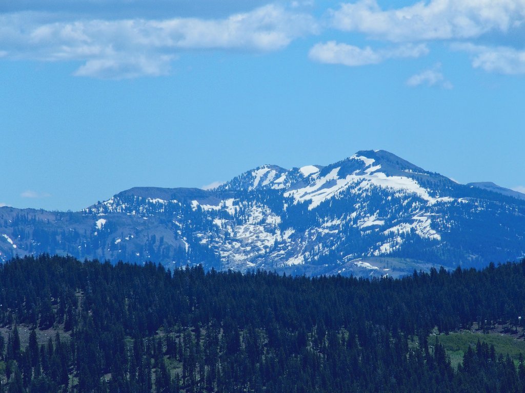
Fisher Lake and Devils Peak
Behind and to the right of Devils Peak are Anderson Peak and Tinker Knob, both on the Pacific Crest Trail.
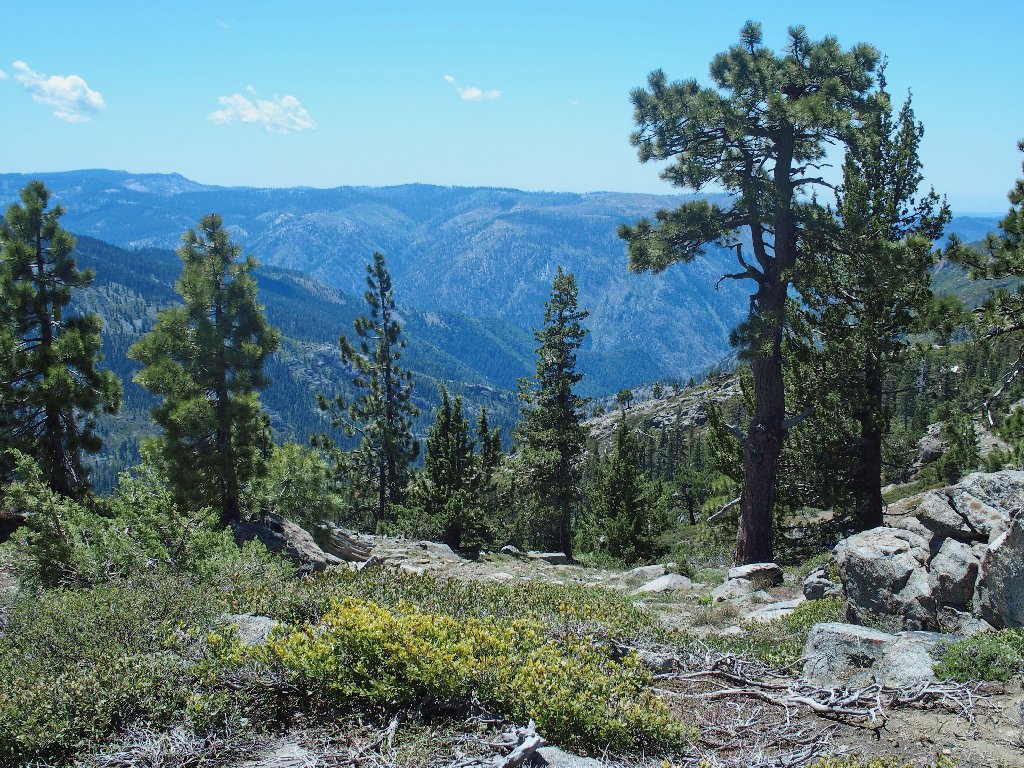
Granite Chief is thirteen miles distant
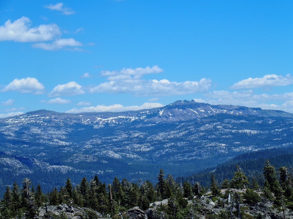
Basin Peak and Castle Peak, north of Donner Summit,
also overlook the PCT
And the freeway is conveniently out of sight in between. Very nice.
If only it had been that easy
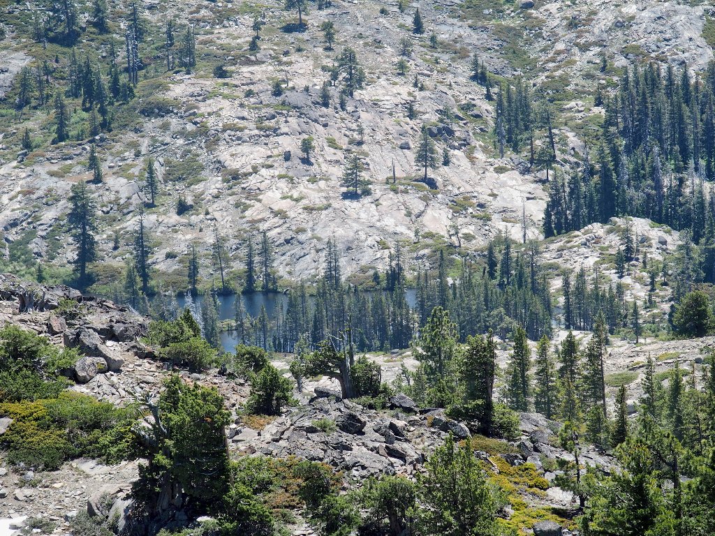
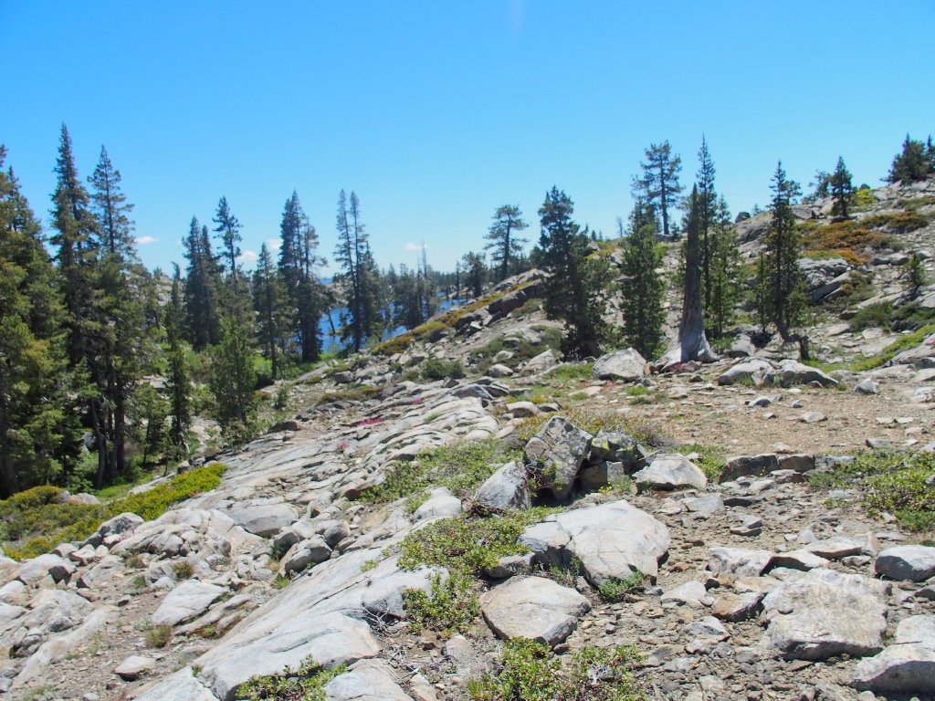
Natalie Lake, 800 feet below, is nearly a mile away
The remote North Fork American River carved that canyon
Having traveled but four miles thus far, I nevertheless am relatively
worn out already. I had hoped possibly to visit an area of many
rock-bound pools just a mile or so east of here, but I'm just not
up to it today. As it is, I am anticipating a new 'shortcut' on the
way back that doubtless will extract its toll.
I managed to avoid this on the way in
After plunging knee-deep into one of the snow banks, I seem to veer north of my earlier path. That fact is confirmed by the appearance of a nice little creek that was not seen previously.
Presently I find myself down in an unfriendly canyon. As usual, it is unclear as to whether I should remain in it or try to find something better.
Rough going is the norm around here
Perseverance and an eagle eye on the GPS eventually save the day. I am back in familiar territory.
High Lake reprise
From here, I could save a mile of travel by heading directly west, provided that a nice level sidewalk were available. Of course, that is not the case; but I am determined to continue exploring anyway.
More uncharted territory awaits
Immediately I am rewarded by the appearance of a lovely little lake that is just above the big one.
I finally visit this pretty place after just
forty-five years of hiking this area
Now the fun starts. I must scramble down thirty feet of talus for the right to climb the big slab on the other side.
It's a constant up-and-down affair
Another good-sized pond
I seem to be heading toward Signal Mountain
Now my apprehensions are realized as I reach a steep canyon wall. Last year I forced three women friends to bushwhack down it through a manzanita field. Today, being somewhat downstream of that point, I am compelled to scramble down the wet rocks of a nearly dry creek, that being the only alternative to the dreaded briar patch.
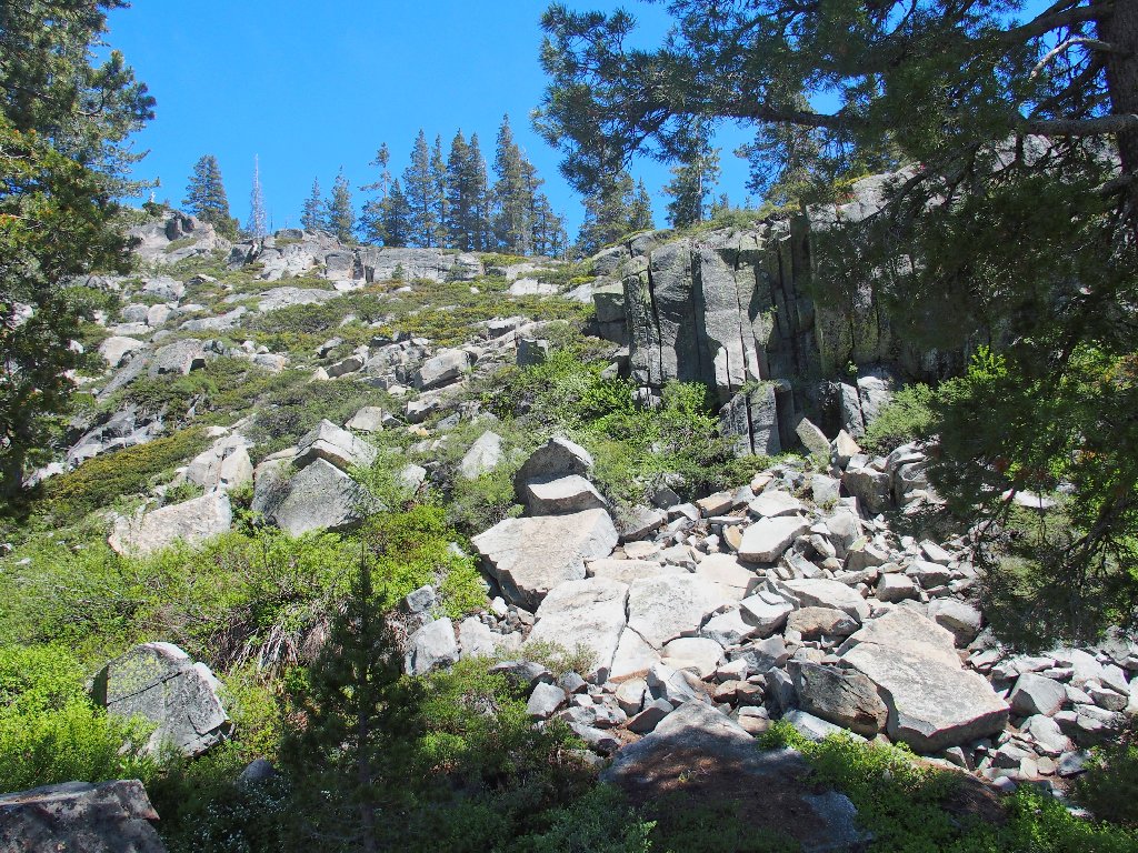
The route down the cliff is slow and difficult
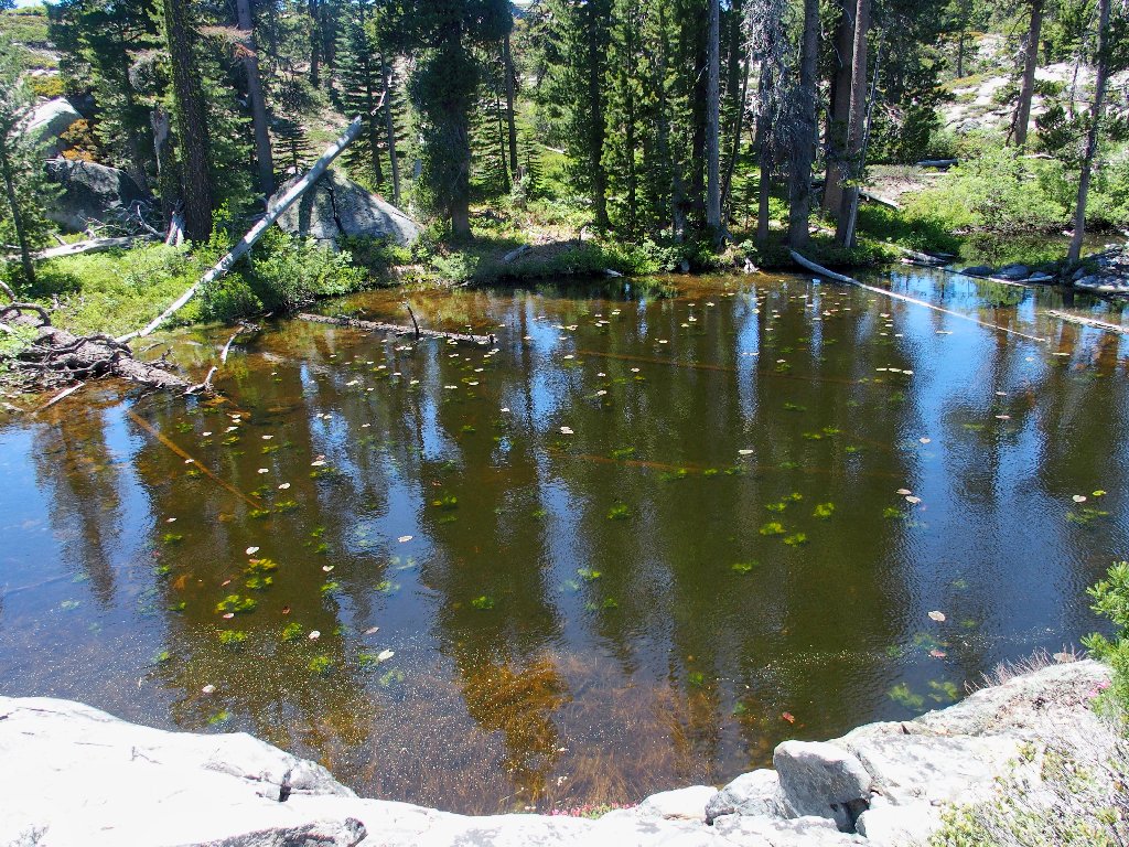
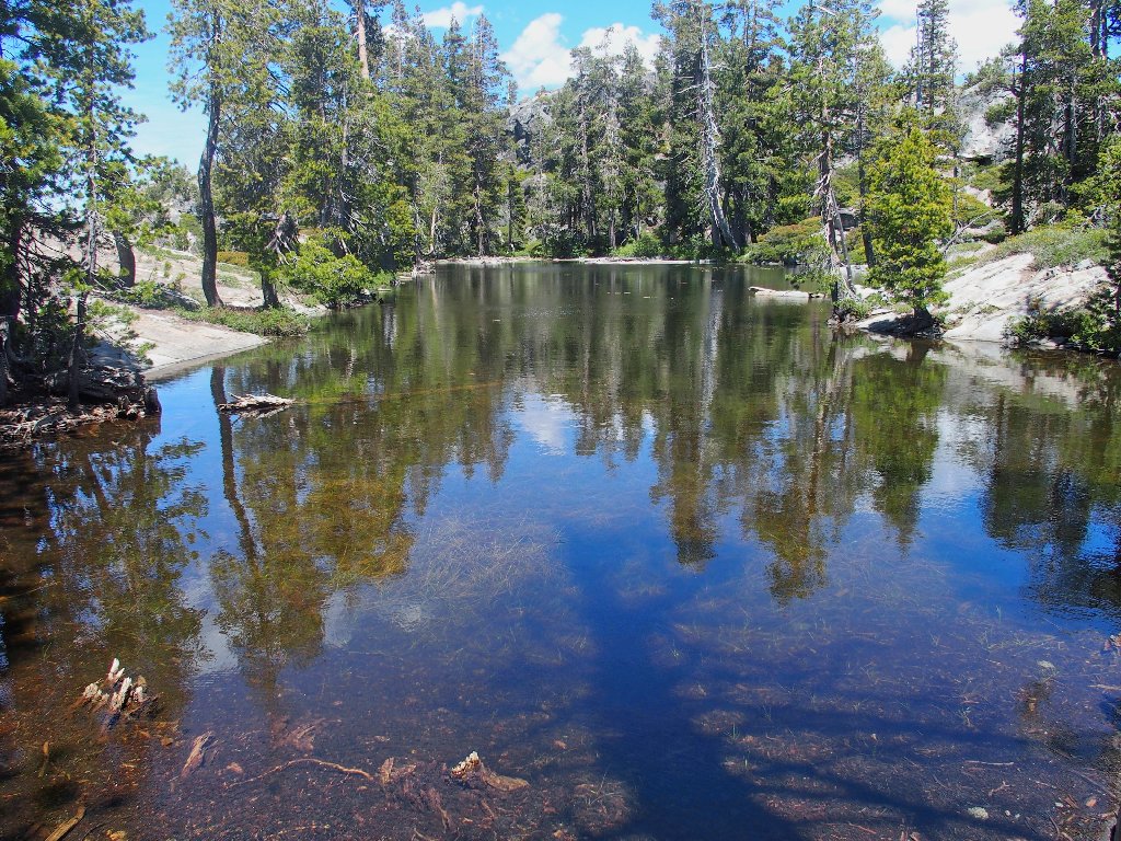
Lily Pond
Middle Loch Leven Lake in the distance
Continuing west over one final hill, I make my way around the south end of the Lower Lake to the trail, right at the desired junction. Hooray!
Two campers are throwing a frisbee here. Motioning to the man,
he hands it to me for a throw to the woman standing between a pair of
trees about eight feet apart. I, the formerly most accurate
frisbee-tosser I have known, promptly release it in a perfectly
straight line, but directly at one of the trees. It's been a while.
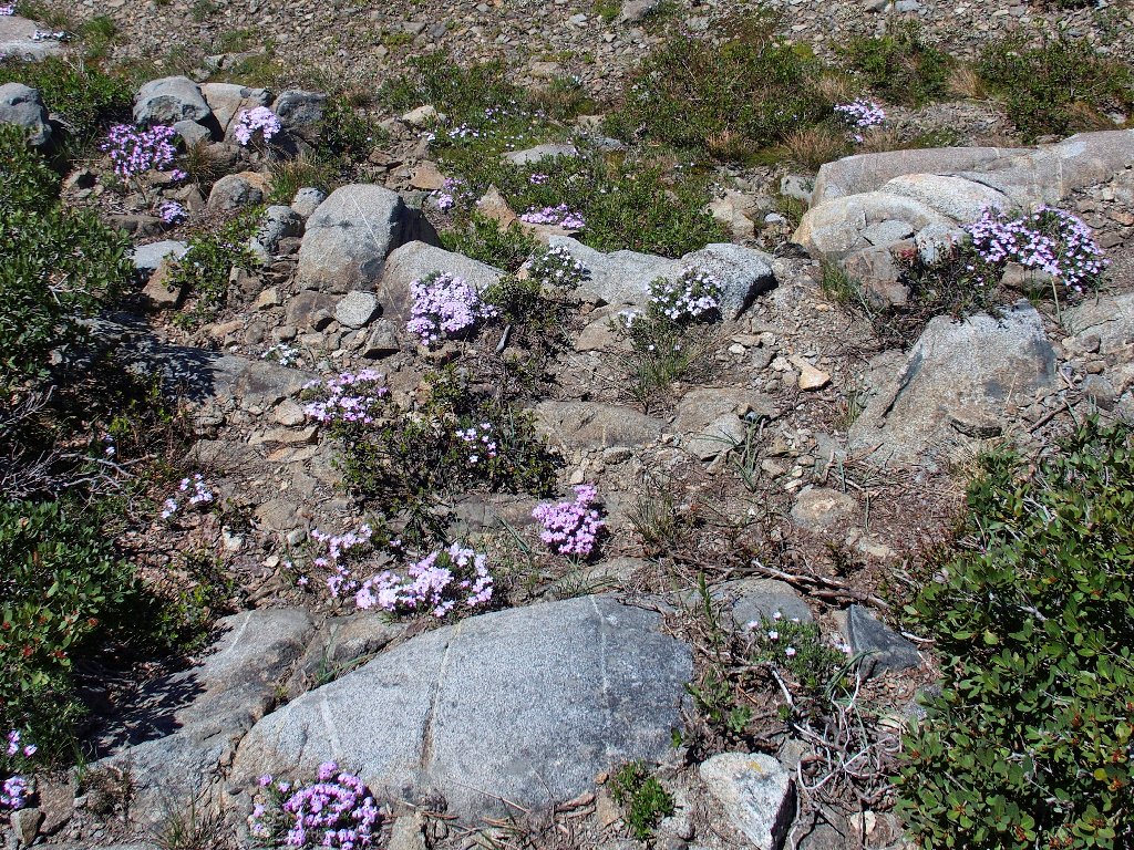
The Phlox are predictably delightful
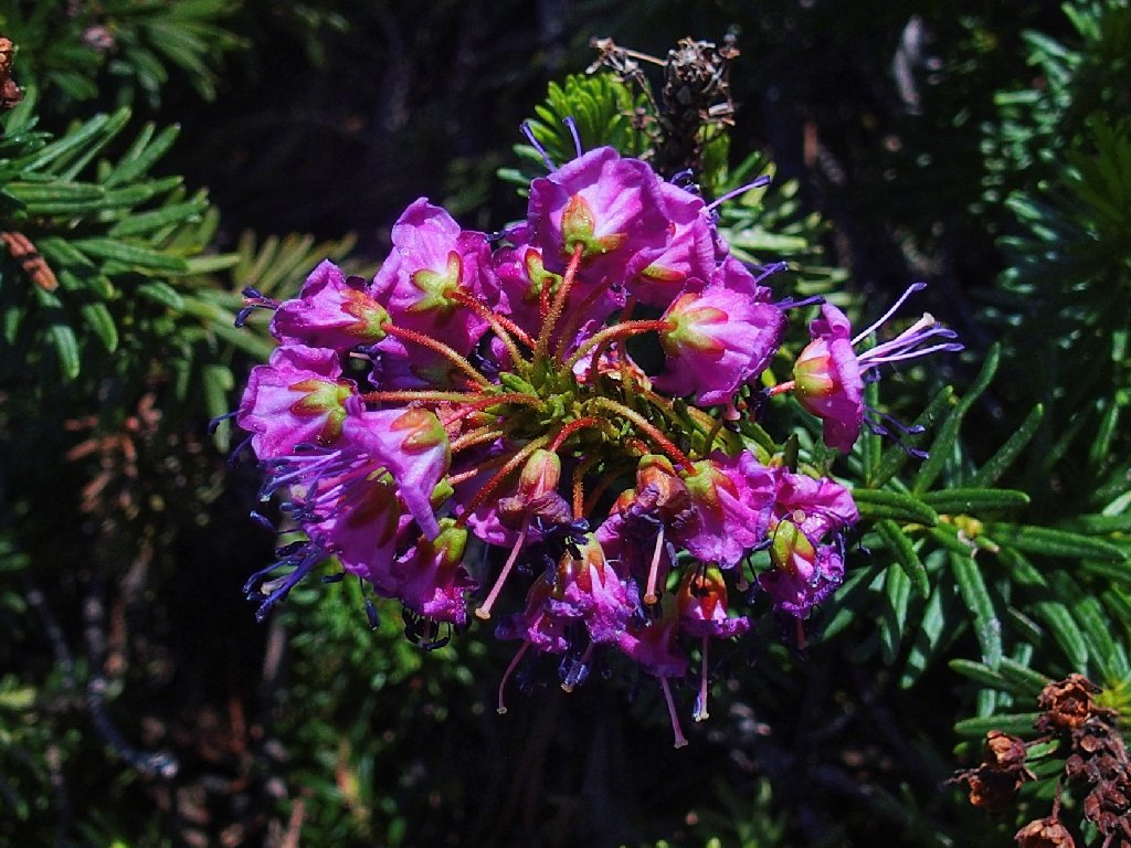
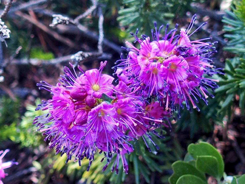
The exquisite Red Mountain Heather merit extra attention today
Now it is just two miles to the finish line. I can do this.
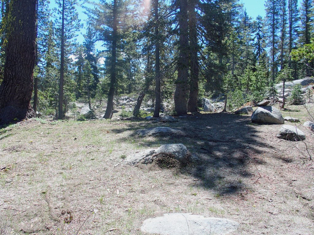
Some trail maintenance is in order
A different log crossing is the best way across a swampy area.
The only way to keep my feet dry
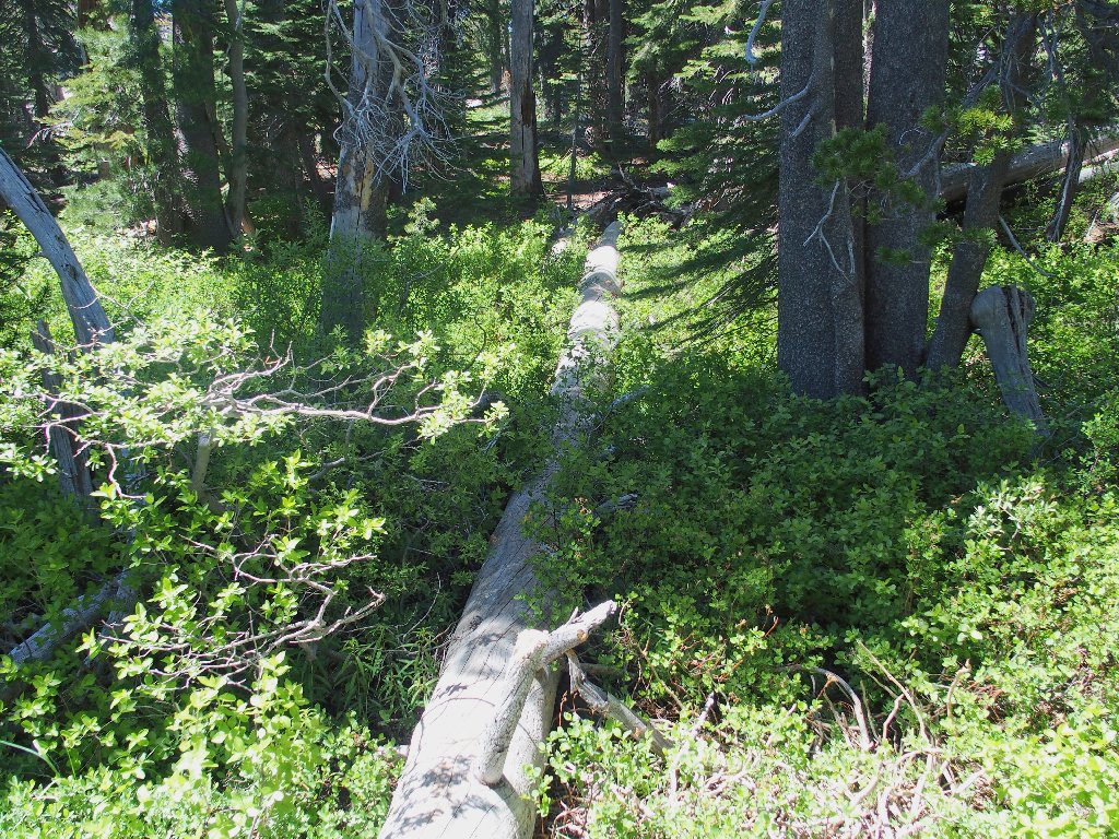
Having left the trail to utilize the log, I make a terrible mistake here. I continue to follow what looks like the trail, but soon it fizzles out. Being somewhat discombobulated, I forget that I had veered to the right, and that I must go left now to restore order. For some reason, doing so looks unattractive; so I continue to the right.
This blunder results in more than a mile of additional bushwhacking, during which I am disinclined to use my camera at all. At what I recognize is probably the big pond mentioned earlier, I try to get past it through a willow patch. Halfway through it, my progress is stymied completely, forcing me to retreat back and up a steep hill, where all I must deal with are boulders and manzanita.
Five minutes farther on, the trail does reappear. Now I am but a mile from the car, although I have missed the opportunity to take a picture of Salmon Lake.
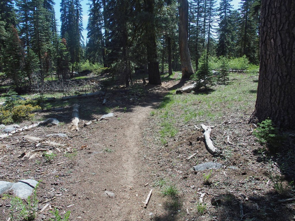
A trail never looked as good as this one
Wearier but wiser, I stop for a breather. Right beside me are some more beautiful flowers:
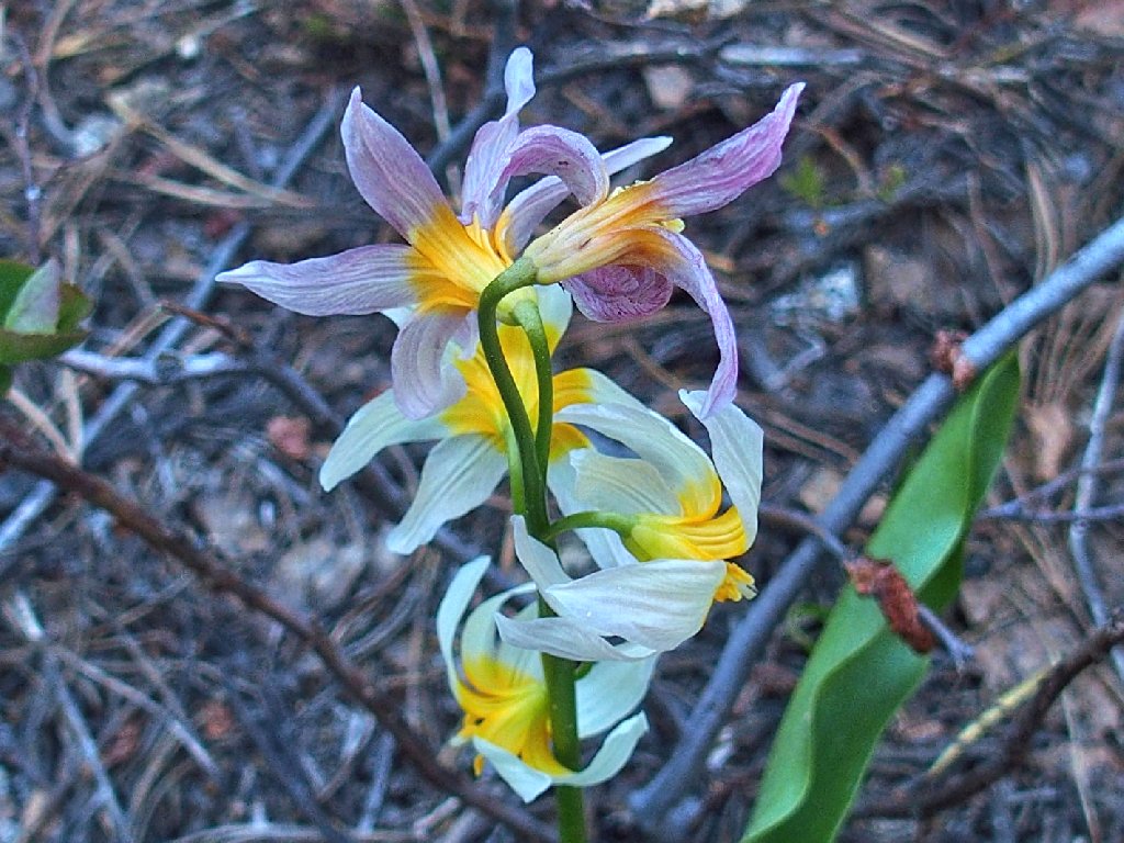
Purple Fawn Lily
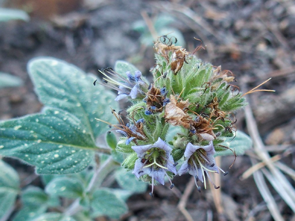
The Waterleaf Phacelia are quite tiny
§: Well, I had expected what my sweetie calls a
Ted-Hike — beautiful places, great photo-ops,
off-trail adventure, and something a bit different.
Today, however, I got more than I had bargained for.
Of all my hiker friends, I believe that Ali would have particularly
enjoyed today's outing; but he might be the only one.
In any case, the minor scramble over to view Fisher Lake was
well-worth the effort, and I recommend it; the other detours
are optional! I also recommend the quarter-mile detour
over to Salmon Lake, where the fishies love sunflower seeds.
| Scenery |  |
| Difficulty |  |
| Flowers |  |
| Adventure |  |
| Solitude | |
I=In O=Out

ADDENDUM
When I misplaced the trail today, I was reminded of a recent incident involving a young hiker who got lost just two miles from my own location, and spent several days in the snowbound area with his dog awaiting a rescue. I hope that no one following that news event regarded the hiker as some sort of hero, though, because he was a dunce. Yes, he had started out with a compass and possibly a map on his cell phone; but the battery died. Who could have anticipated that? In addition, he might have figured out to face the rising sun, turn left, and head north toward his vehicle.
Today I felt rather stupid myself for taking that final unintended detour;
but the difference was that I did have a map, and I did have a compass that
worked, and I did have a phone that worked. Albeit off-track,
I never was lost, and never would have been.
There was a valuable lesson in this exercise, however. In the future
I must be careful to mark waypoints on the entirety of a proposed walk, not
just the area of anticipated off-trail activity. Had my map
been properly prepared, I could have corrected the directional error
immediately.
Alternatively, if I finally would start using my new iPhone with mapping software rather than my old Garmin Foretrex 401 that does not support maps, that would work better as well. Being able to actually see one's position on a topo map is a big plus.
