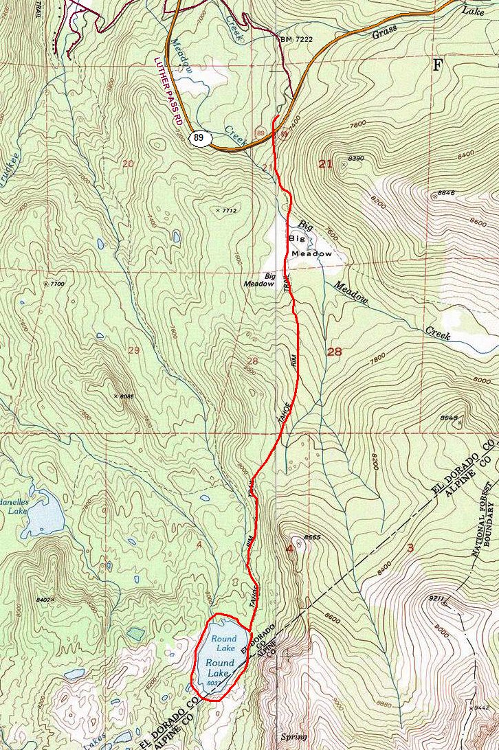
Eldorado National Forest
|
Round Lake Eldorado National Forest |
October 8, 2015
In 1975, one just pulled off beside the road here; now, there is a nice paved parking lot with restrooms and helpful information.
It has been forty years since I last walked this trail, on one of my first backpacks. The weather is pretty good today, so I probably will not be wearing this sweatshirt and gloves for very long. In fact, it probably was silly to pack those items in the first place.
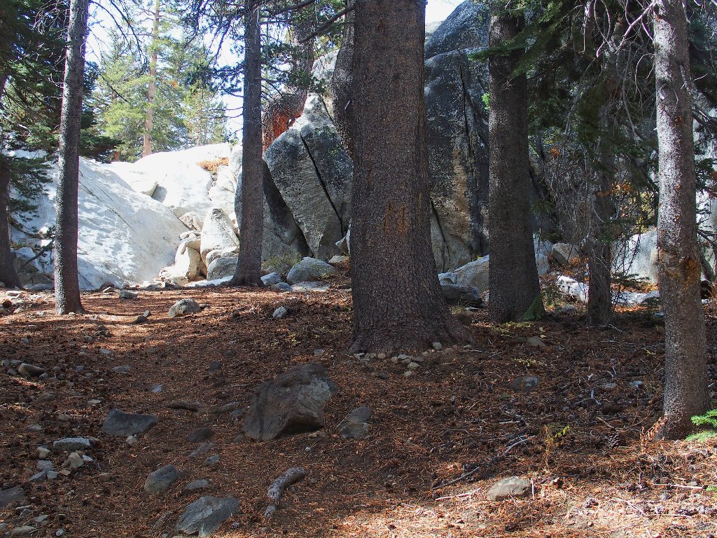
Getting started beside the highway
Just short of the advertised meadow is a spur trail over to Scotts Lake, which I never have seen. I must make the effort to get over there sometime.
Scotts Lake junction
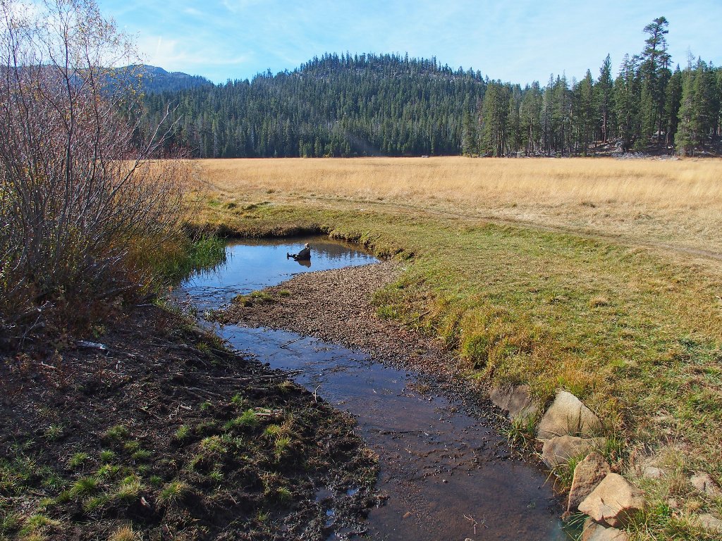
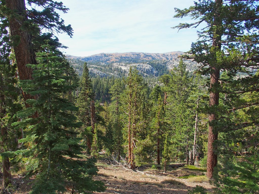
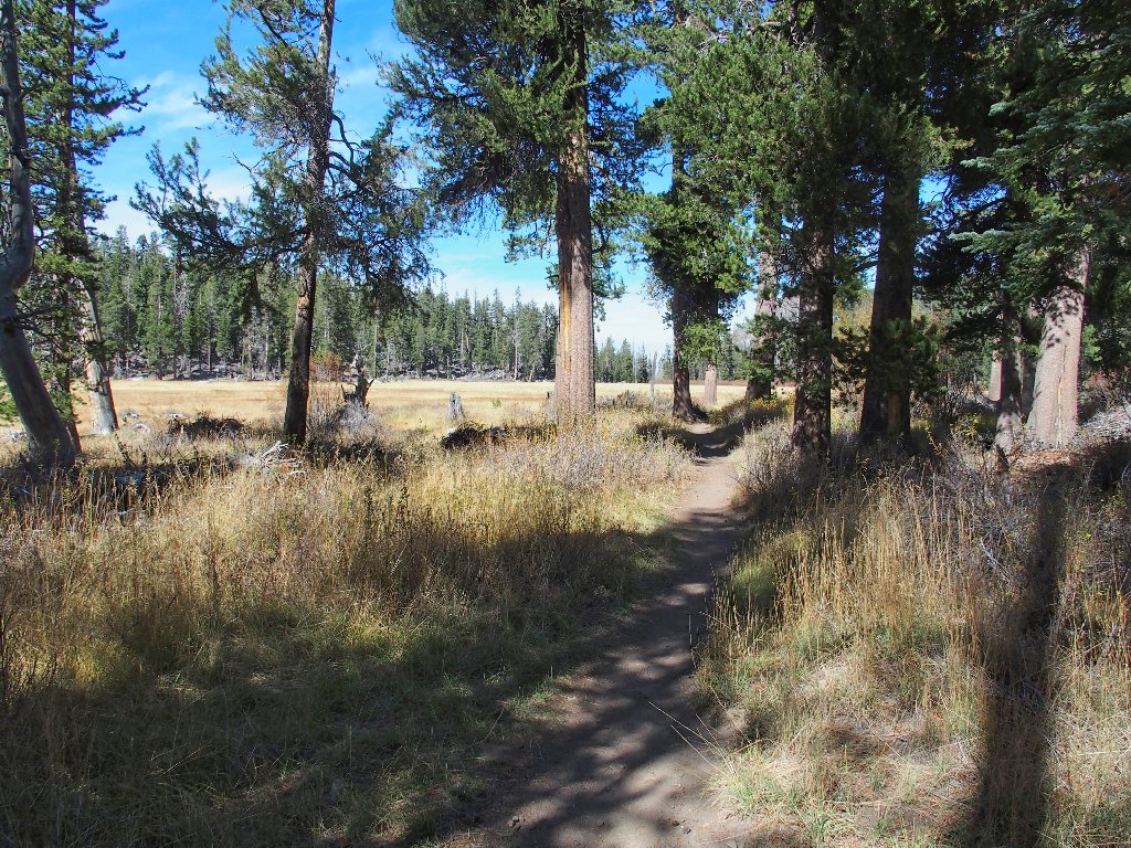
Big Meadow
There are absolutely no flowers in the meadow today; but then, none were expected.
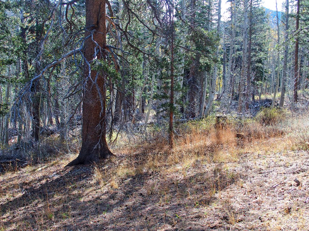
Little aspen groves are found here and there
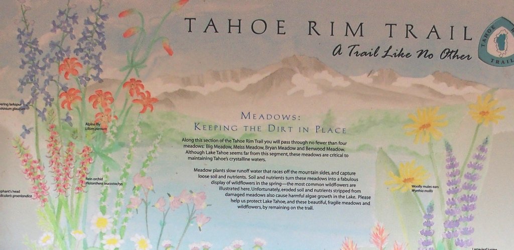
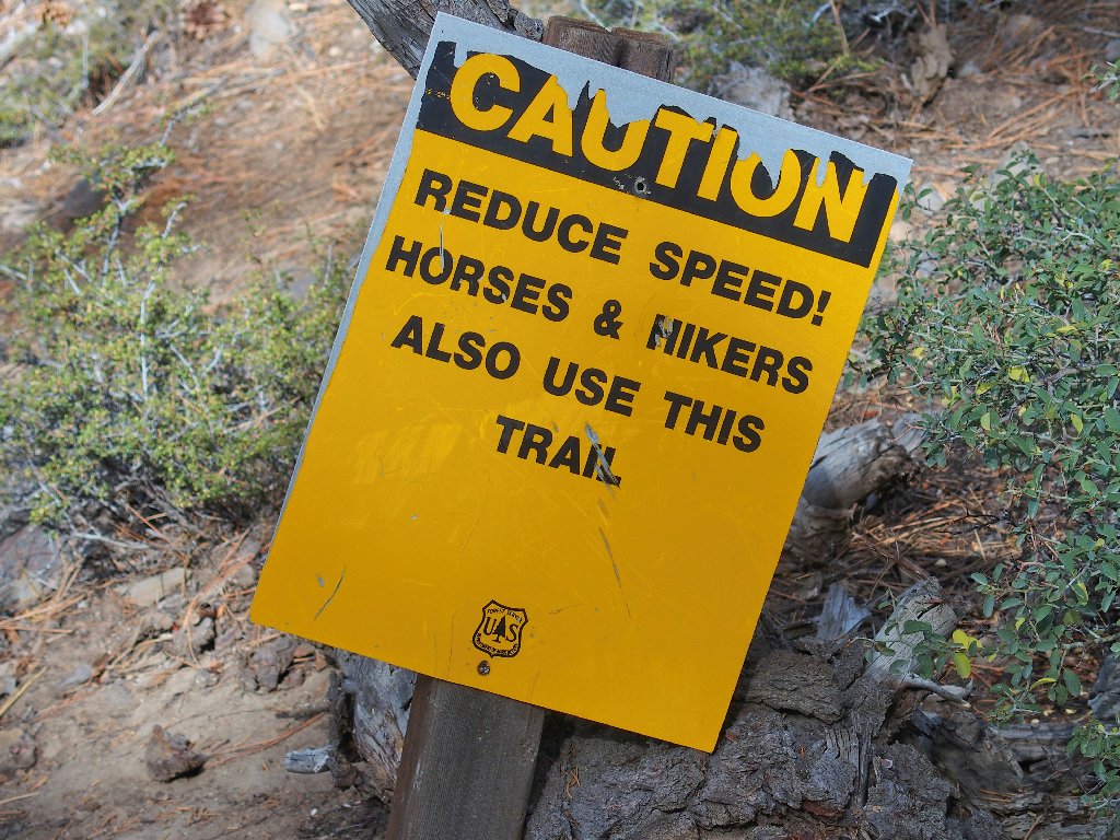
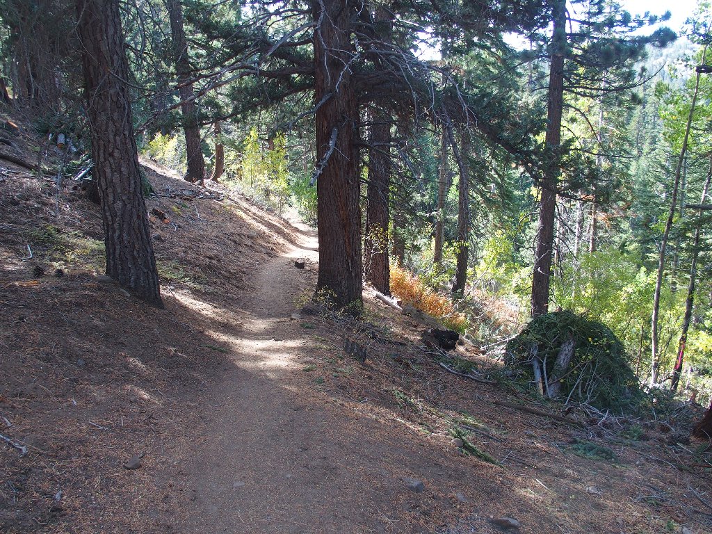
Much, if not all, of the Tahoe Rim Trail has been made
bicycle-friendly. This means more curves in the trail and more
distance, but at a lesser gradient. Sometimes it is difficult to resist
the temptation to take a more direct route and avoid the redundant mileage;
but invariably I perform my environmental duty and remain on the trail.
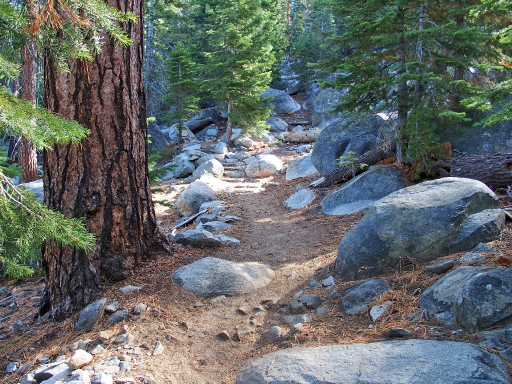
The old hikers' trail has been re-routed
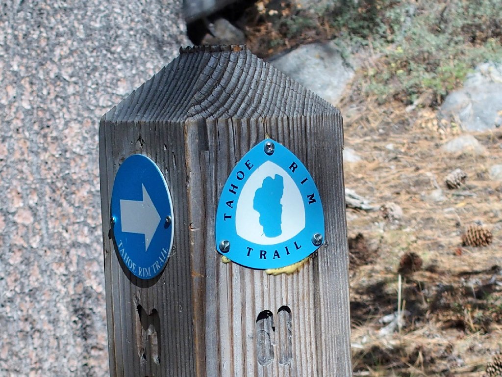
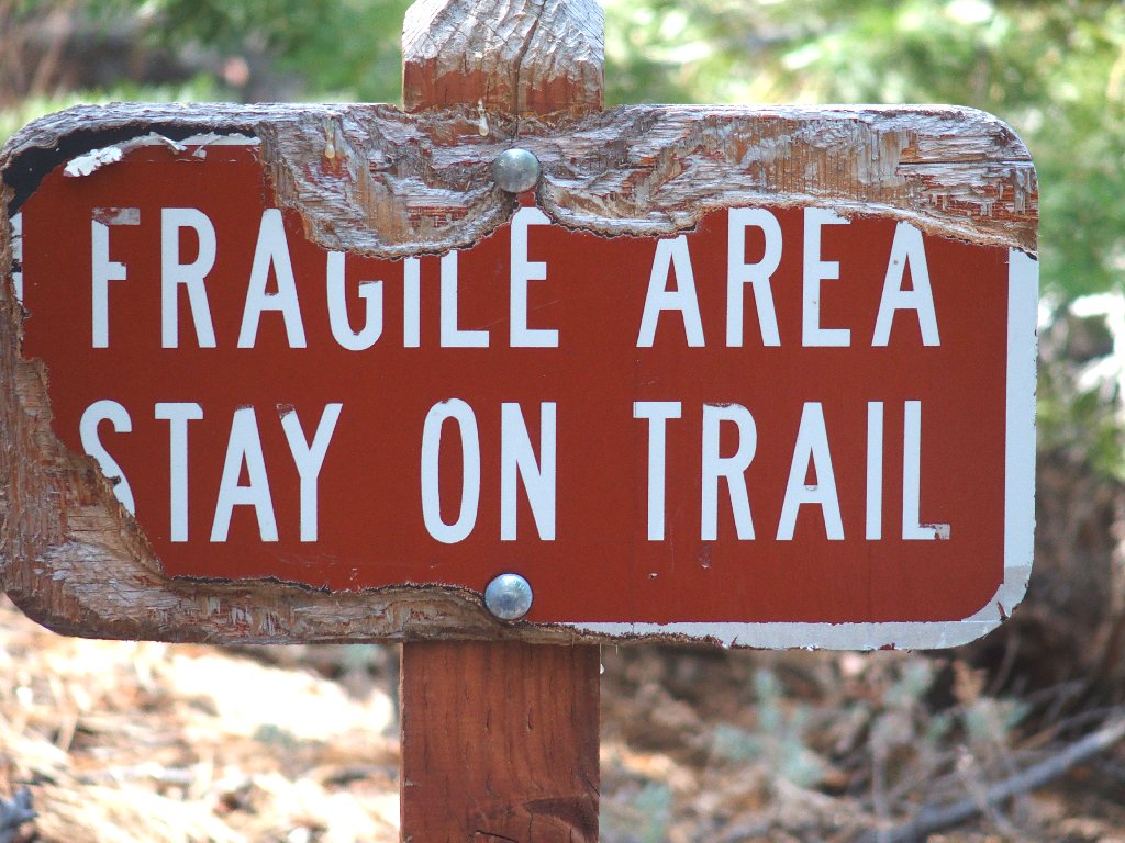
Posted at a blind switchback
Westward view
It's downhill from here
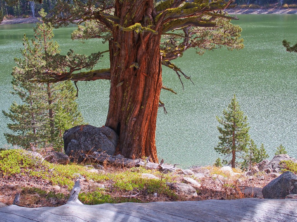
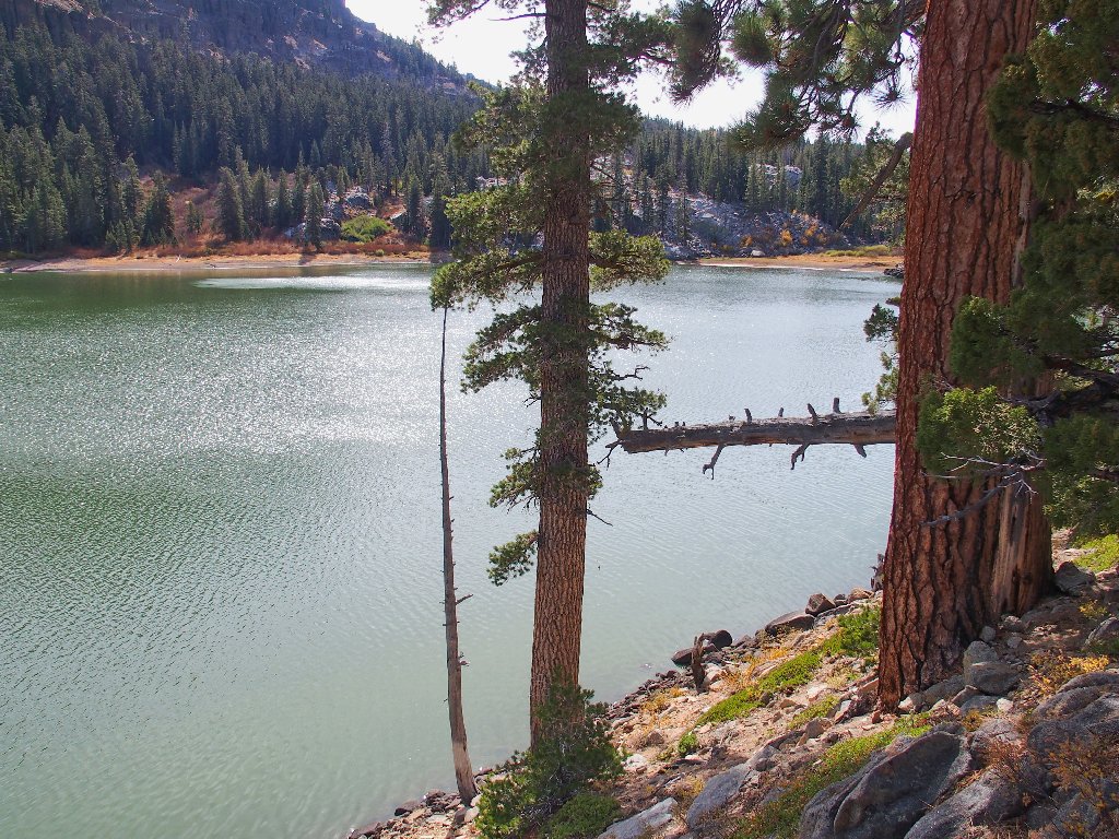
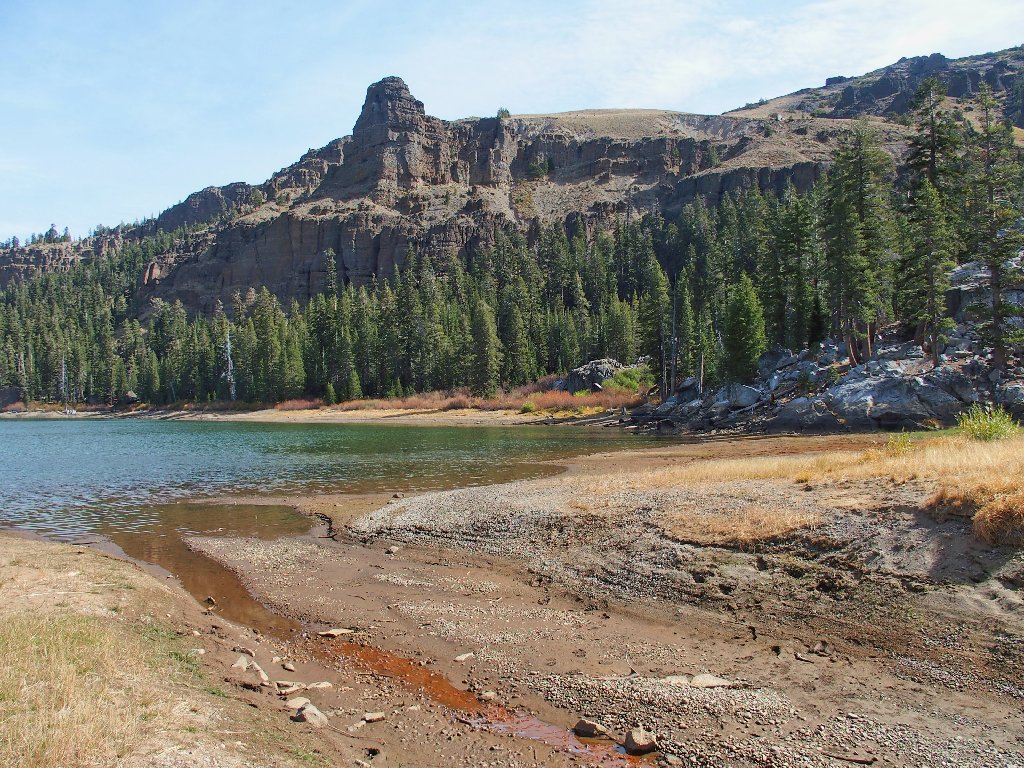
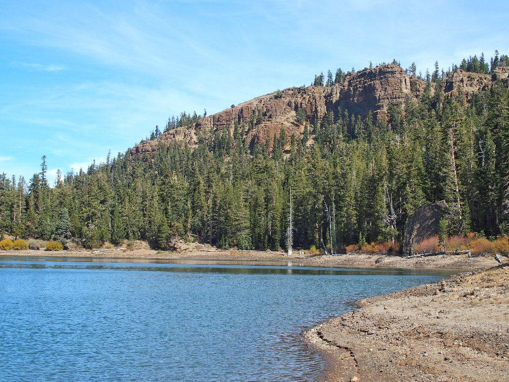
After just three miles, the lake appears. I know from prior visits and viewings that it looks green due to the more darkly colored volcanic soil.
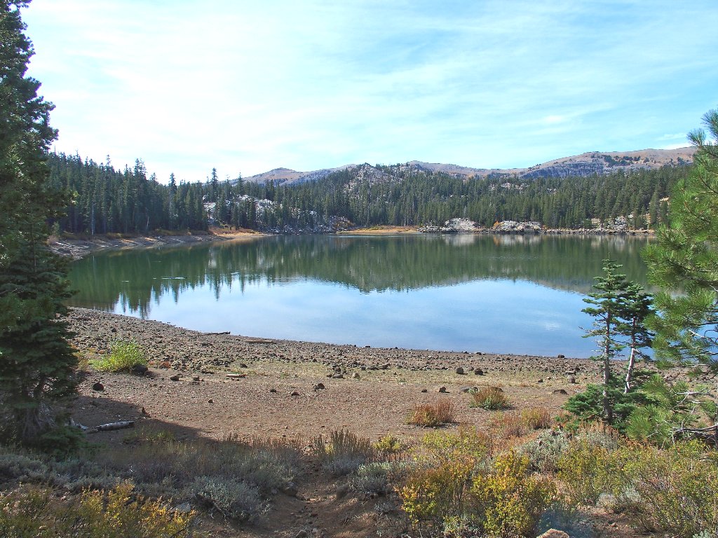
Round Lake
The water level is pretty low
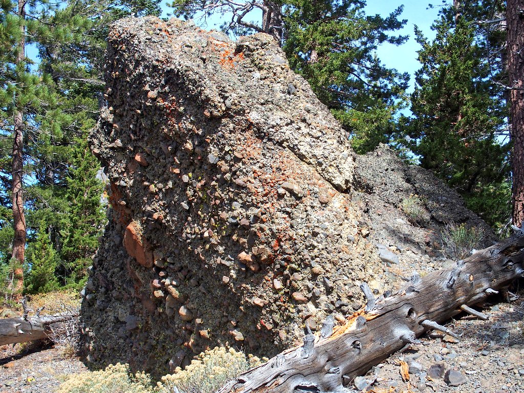
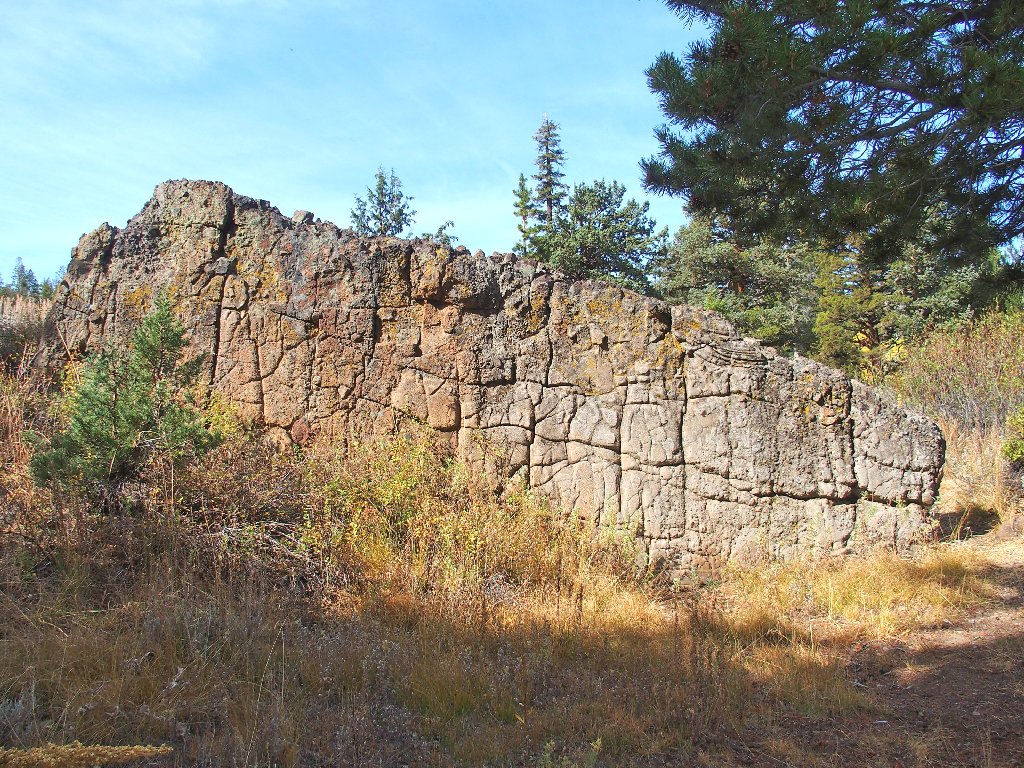
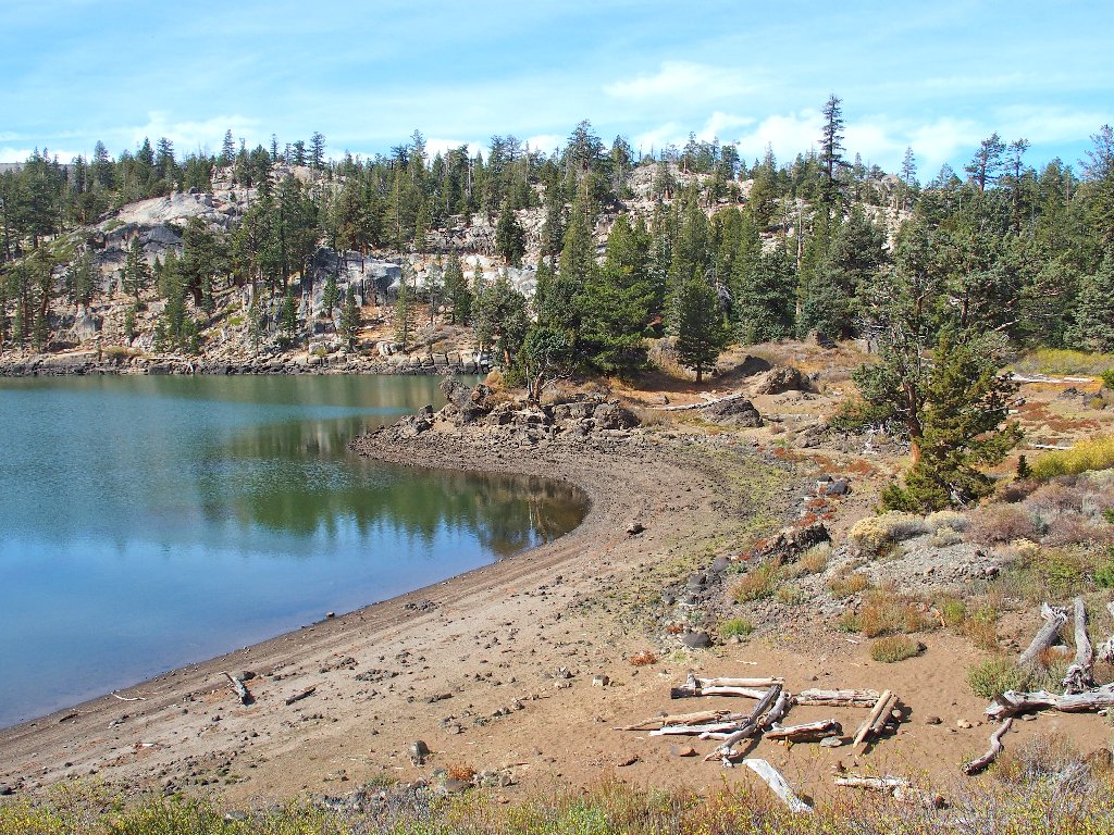
There is a lot of conglomerate around here
I must, of course, circumnavigate the lake. It seems natural to tackle the more difficult and more interesting western side first.
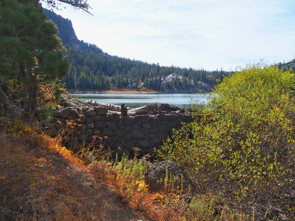
Round Lake Dam
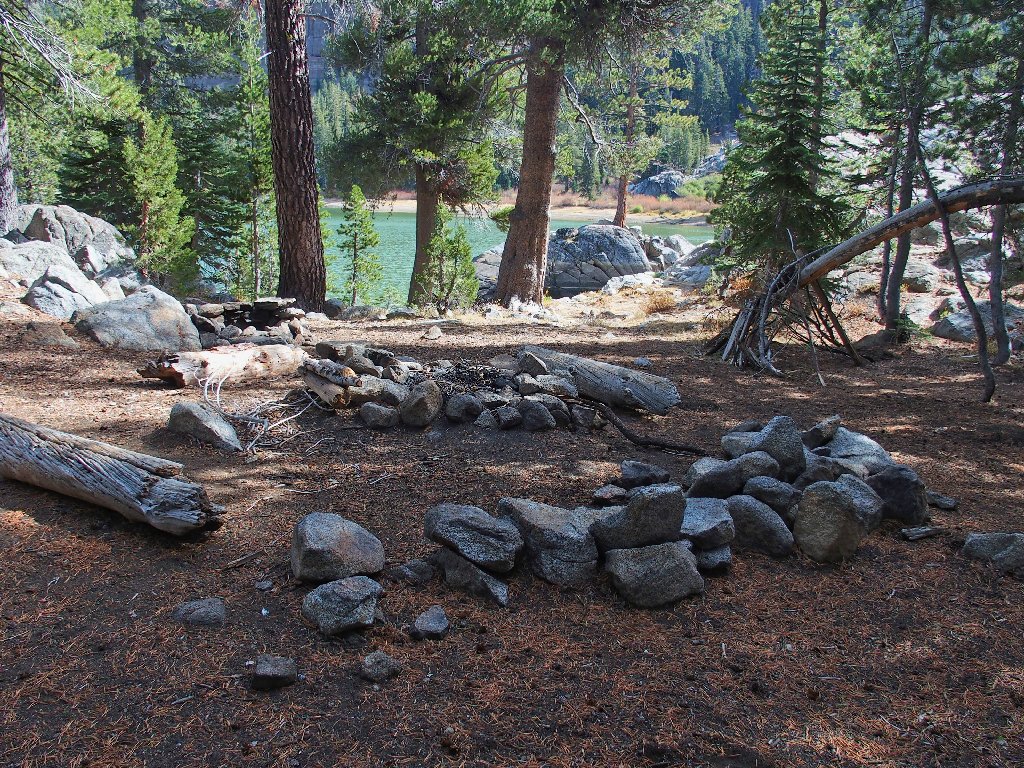
There is a nifty bench over here about 40-50 feet above the water. This is where my late wife and I spent the night those many years ago, subsequently labeling this place the "best campsite ever."
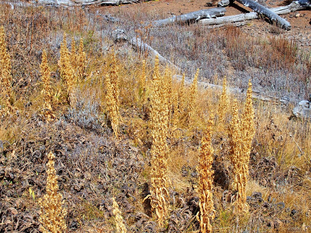
Remains of a Mullein patch
Interesting campsite possibility
Some giant granite boulders at lakeside force me to detour around them, which is easily done.
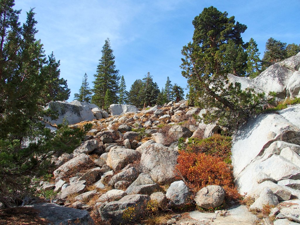
The easy way

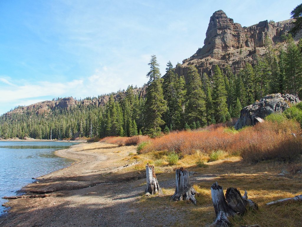
Dardanelles across the way
Nice lighting
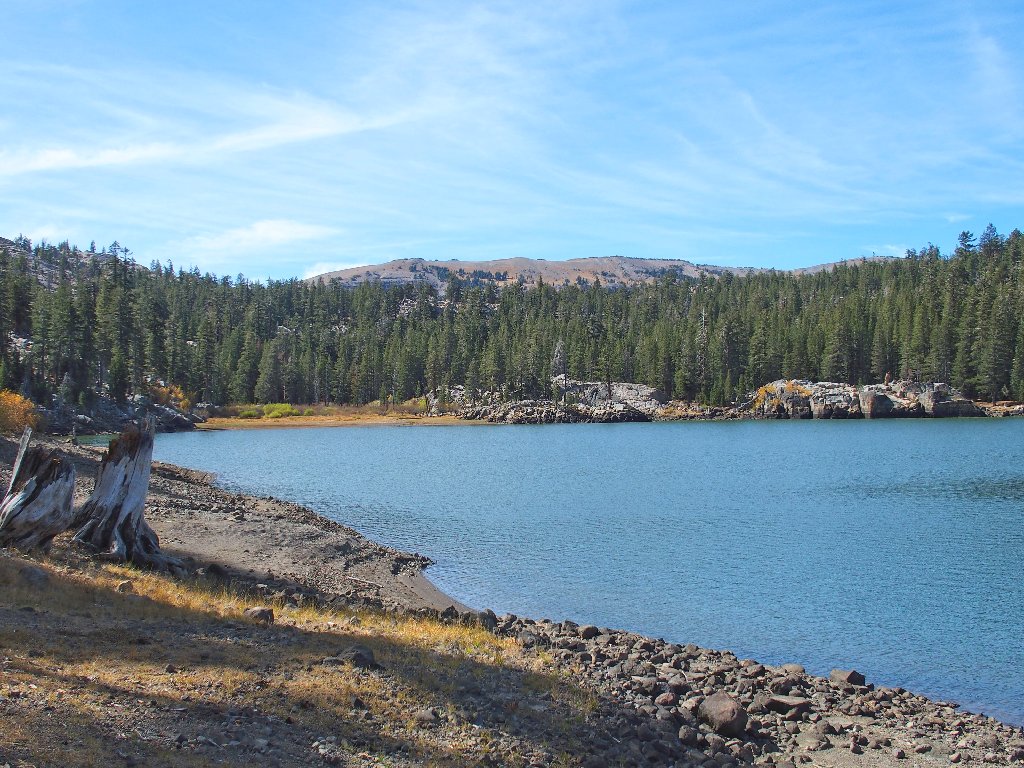
About halfway around
A great campsite at the south end
The inlet is dry
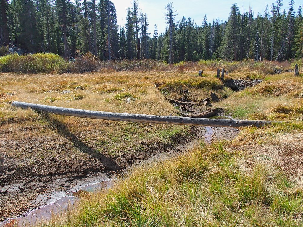
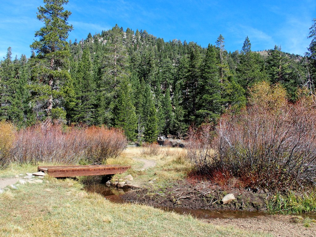
I won't be needing this bridge today
I have just crossed into Alpine County, not that it matters. Just ahead, back in Eldorado County, is what looks like a good lunch spot.
A little spring-fed creek and some soft grasses await me
Yes! The warm sun is at my back, outer garments are unneeded, some ducks are frolicking below, and these giant green grapes taste mighty good. This is one of the most pleasant lunch breaks ever.
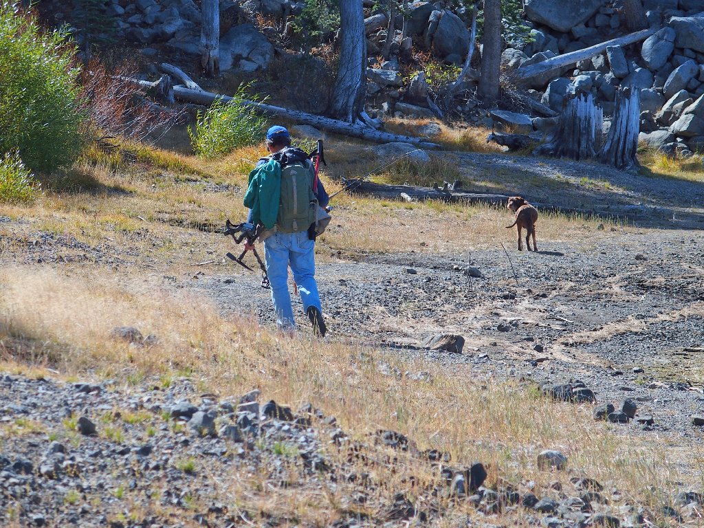
That fisher has a ton of equipment

This guy's equipment is built-in
I could stay longer; but napping or dilly-dallying just don't seem to be my thing. Aware that the main trail south to Meiss Country is in the nearby trees, I am content to remain at water's edge back to the north shore.
Northward view
Southward view
On the return, I spot something unusual. It's a hidden
snowplant — something rarely seen this late in the season.

Snowplant
At a junction I toy briefly with the notion of heading over to what is
signed as Valley Lake; but I've never heard of such a place
and I know it isn't on the topo map. Perhaps the trail actually leads
to Shangri-La, or perhaps Brigadoon; but more likely, it's Dardanelles
Lake, which I also never have seen. Realizing that further exploration
of nearby features is in order, I will pass on that detour for today.

Daddy and his pretty girls
The remainder of the trail is dispatched without further ado.
Back at Big Meadow
§: In October in the northern Sierra, one goes hiking more just
for the doing of it than for the scenery. In that regard, today's walk
filled the bill. Of course, the ongoing drought doesn't help make the
landscape more attractive.
| Scenery |  |
| Difficulty |  |
| Solitude |  |