
Desolation Wilderness
|
Pyramid Peak Desolation Wilderness |
August 3, 2015
Well, I tested my limits on this one; but I could have gone out again today if necessary. I feel great, but a bit sore.
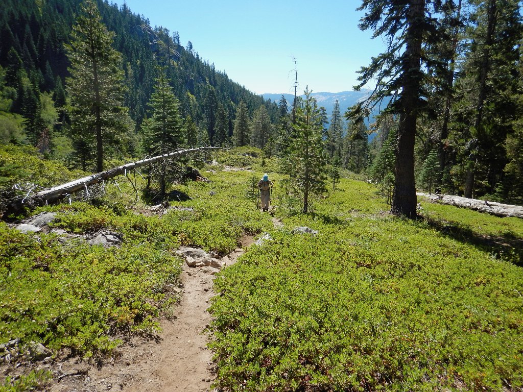
First photo, already 1500 feet up near the wilderness
border
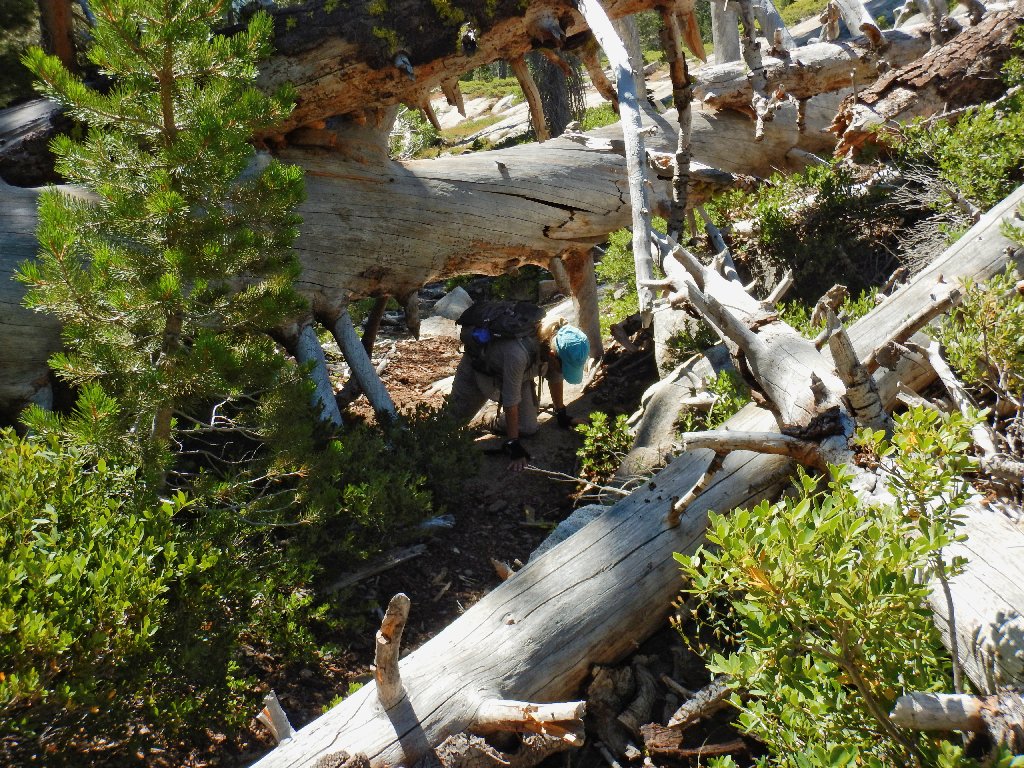
Tunnel Tree
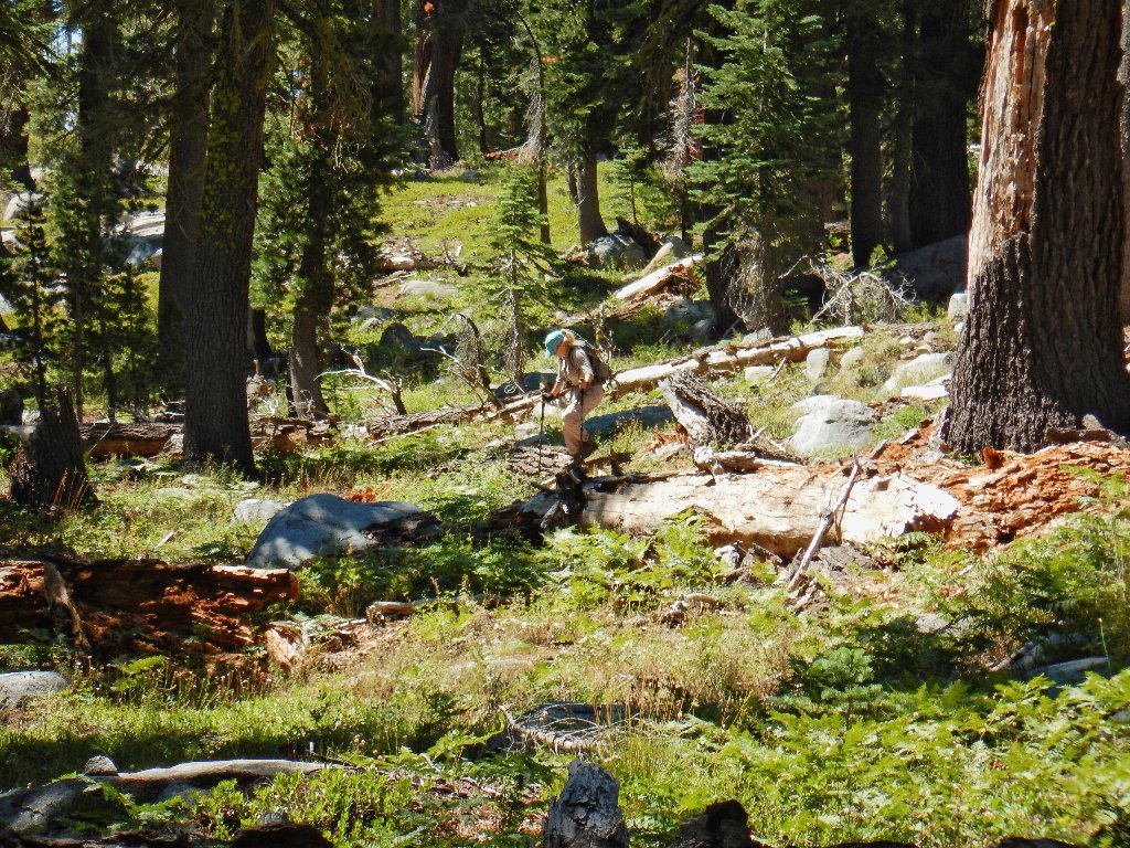
Getting off the scenic detour
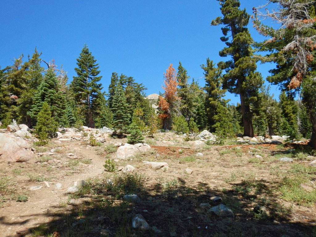
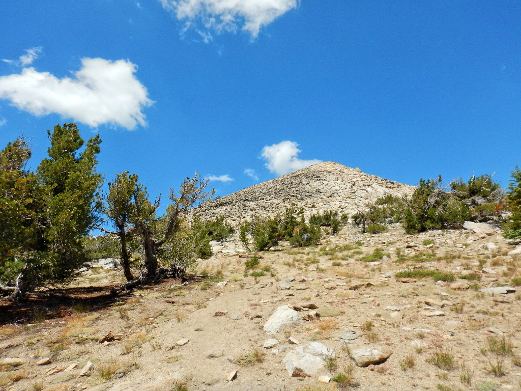
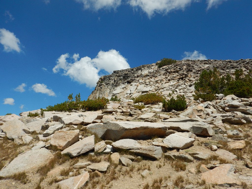
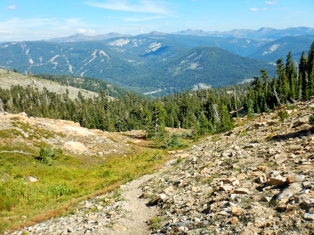
First view of the objective
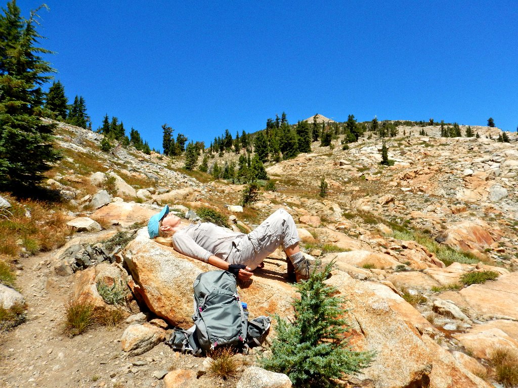
Break time, halfway up
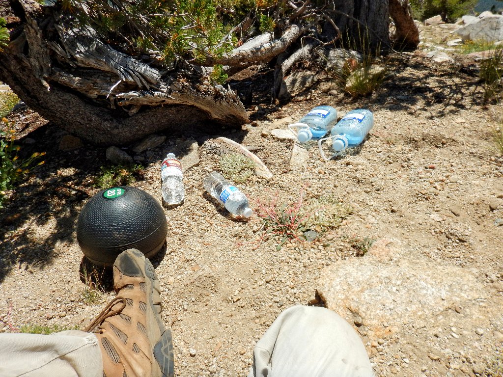
Water, water everywhere
500 feet to go
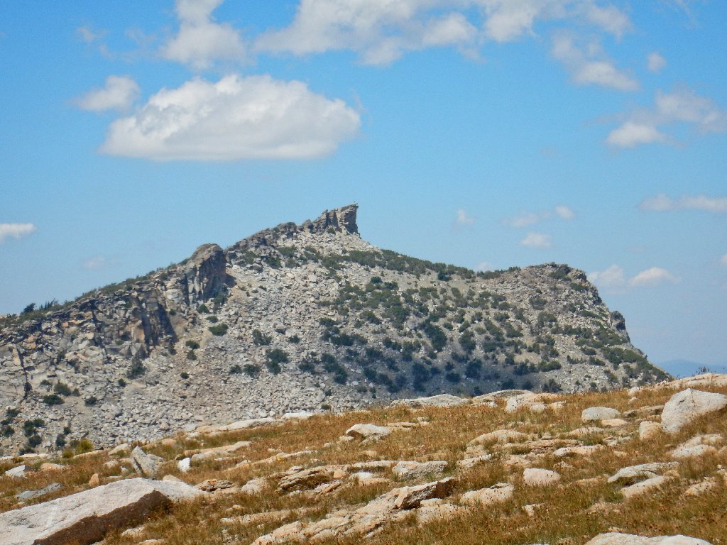
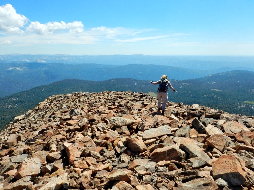
Mount Agassiz, with a guy standing on
top ⇔
300 feet to go
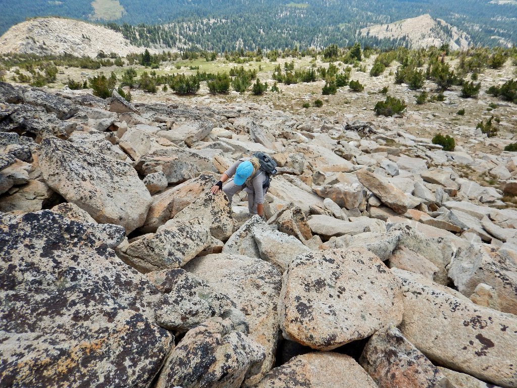
200 feet to go
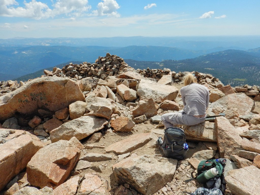
The summit, at 9983'
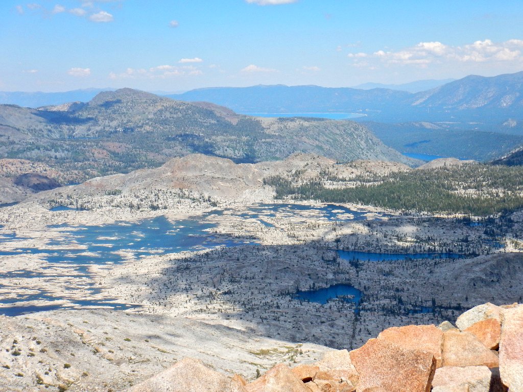
I can see seven lakes in Desolation Valley,
plus five others
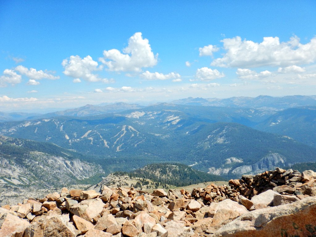
Round Top is 15 miles south
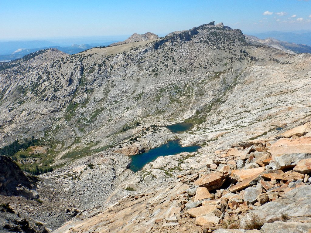
Mozelle and Noelle Lakes — my favorite shot of the day
Shangri-La is behind the distant little U-shaped formation at
top-center above, yet is just over two miles away.
Starting back
The only flowers I shot today are newcomers to my collection:
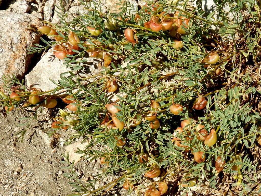
Bolander's Milkvetch

Tidy Tips
Highway-50 is 3,500 feet down
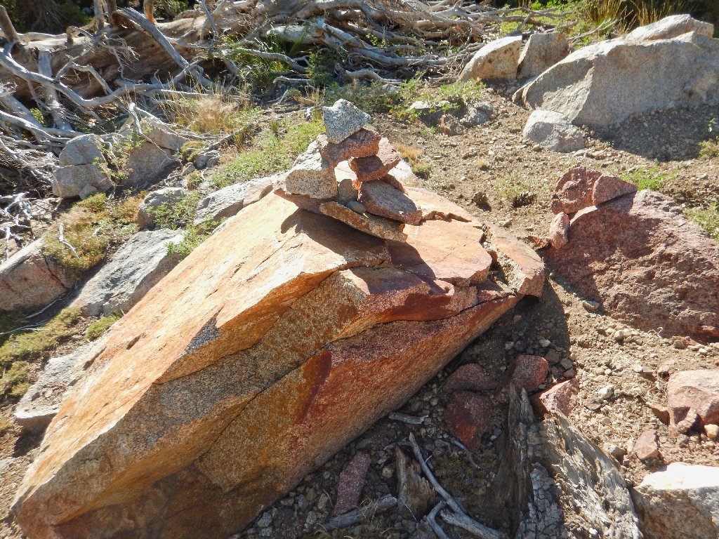
Nifty cairns abound
The squirrels' dining table
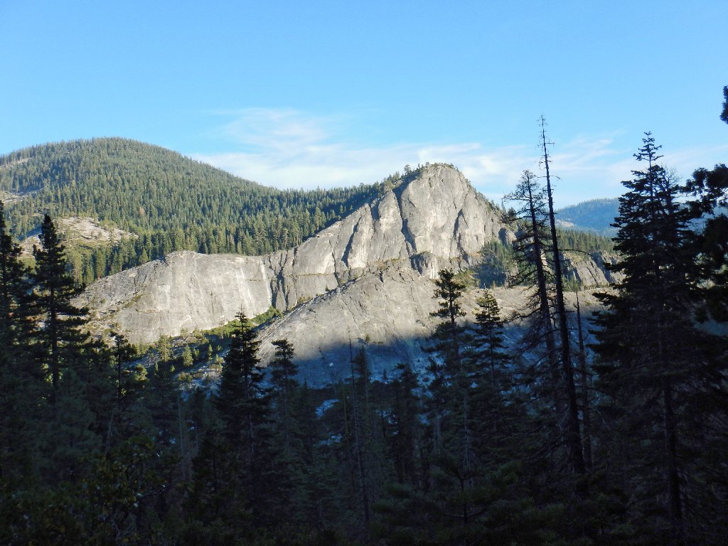
Lovers Leap, 6944'
§: I trust that the next time you view Pyramid Peak from over on
Highway-88 or Mormon Emigrant Trail, it will have more meaning for you.
| Scenery |  |
| Difficulty |  |
| Personality |  |
| Adventure |  |
| Solitude | |
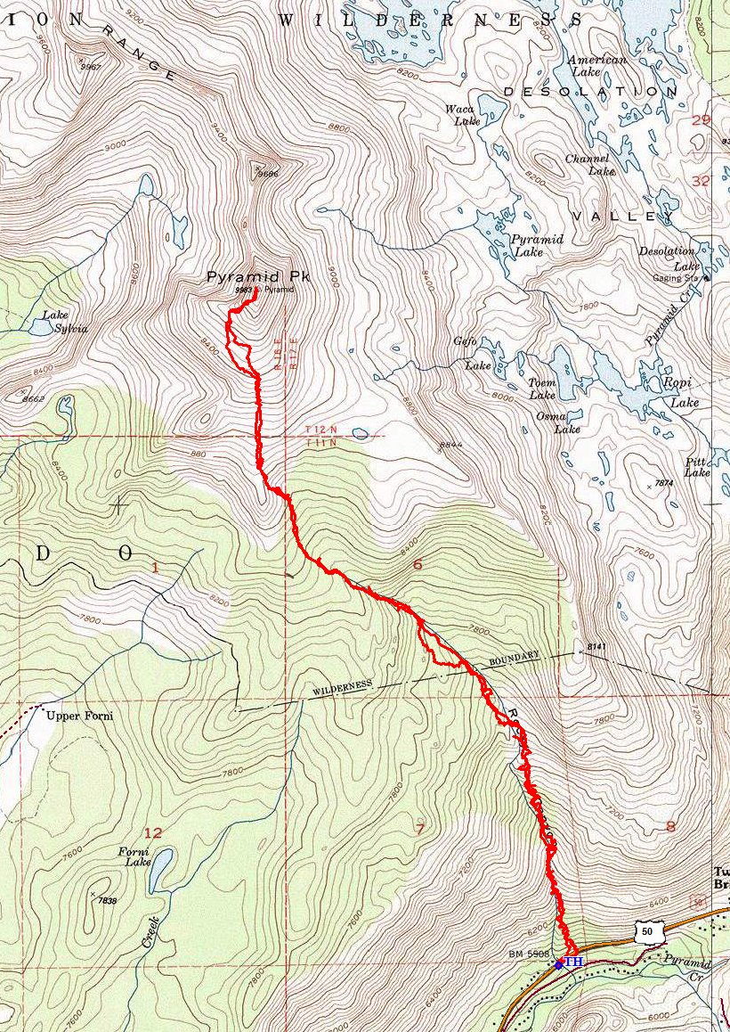
Our two detours are clearly evident

These two photos, shot from the top of Lovers Leap in 2012, add a little perspective to our trek:
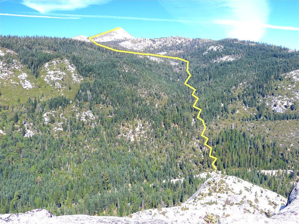
The Rocky Canyon route
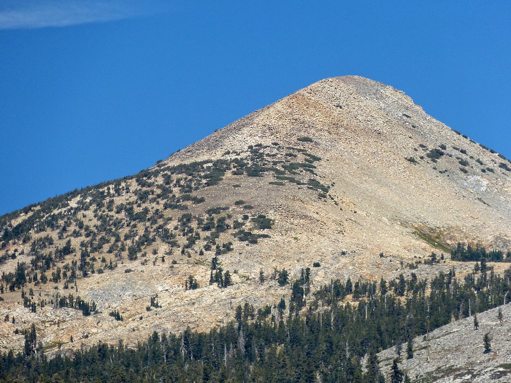
Zoomed in on Pyramid Peak
 |
Sep. 2021: Most of the Rocky Canyon route has burned. |
