
Point Reyes National Seashore
|
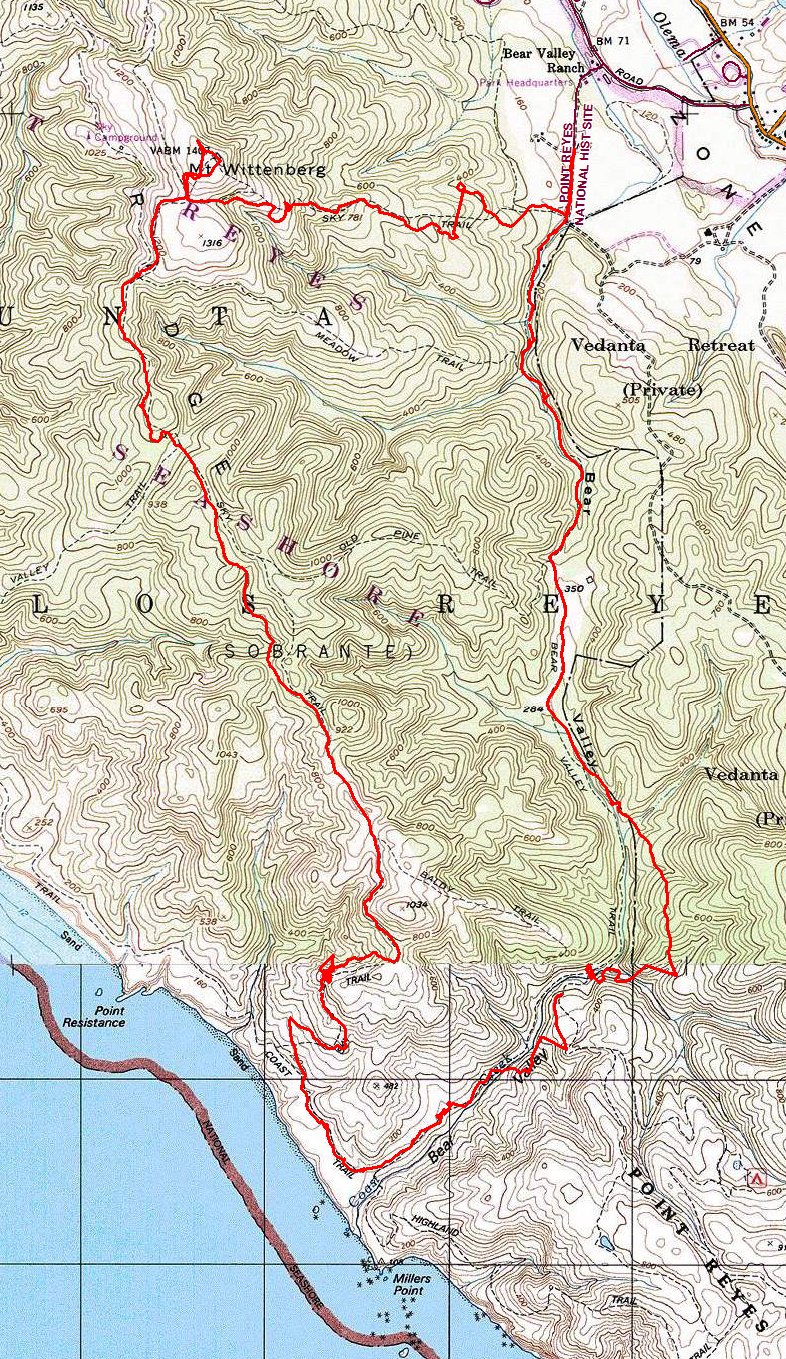
Bear Valley Loop Point Reyes National Seashore |
June 11, 2015
After cancelling a excursion to southern Oregon due to the heat, I'm looking
for a cooler place over on the coast. Even here at Point Reyes, it is about
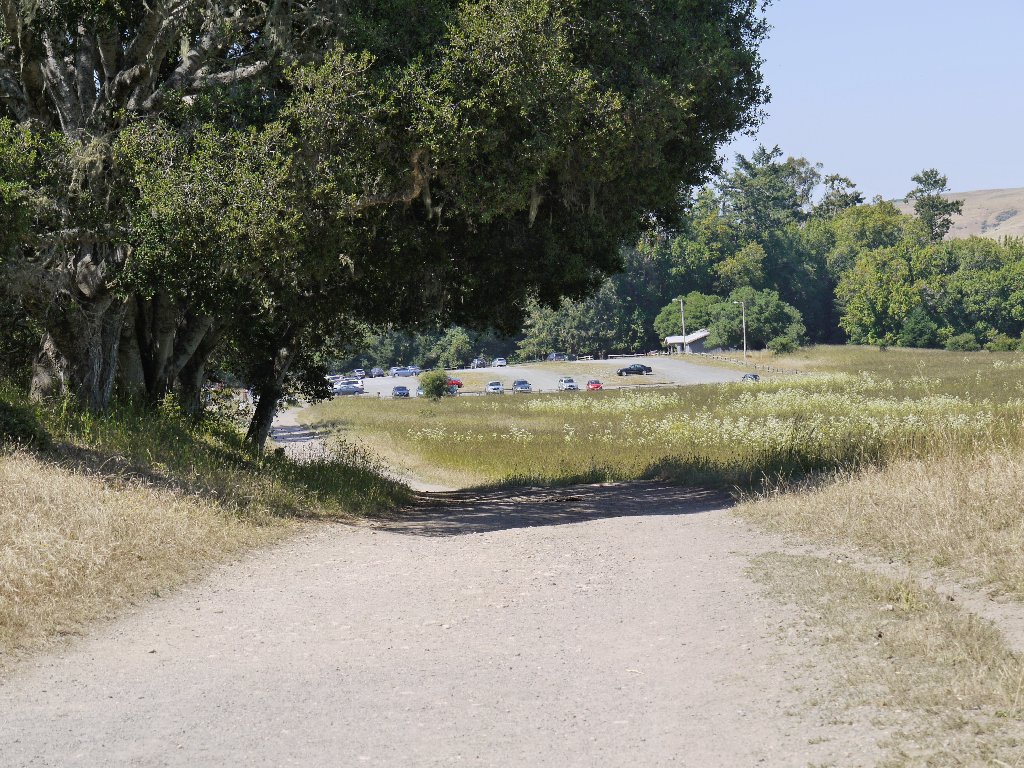
70 degrees as I start out from the Bear Valley Visitor Center.
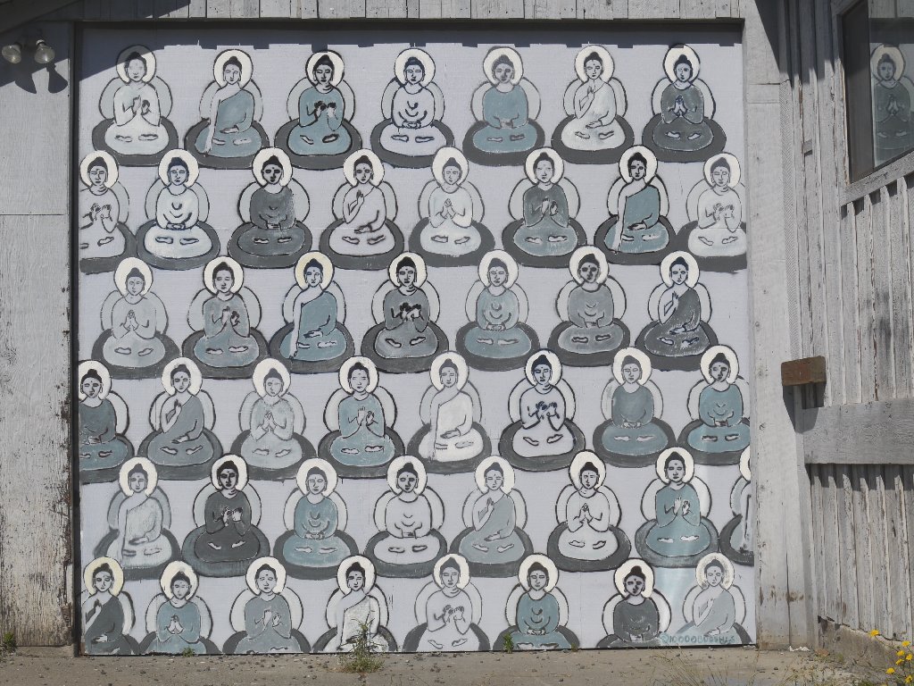
Found on a roadside barn outside Petaluma
Having foolishly left my second water bottle in the freezer at home,
I seem not to have a substitute. My normally comprehensive system
has been a bit out of whack following a spate of auto repairs, so I'll
just have to make do with 24 ounces of water today.
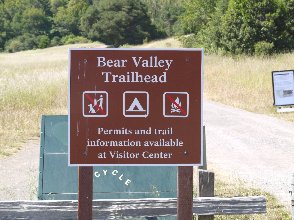
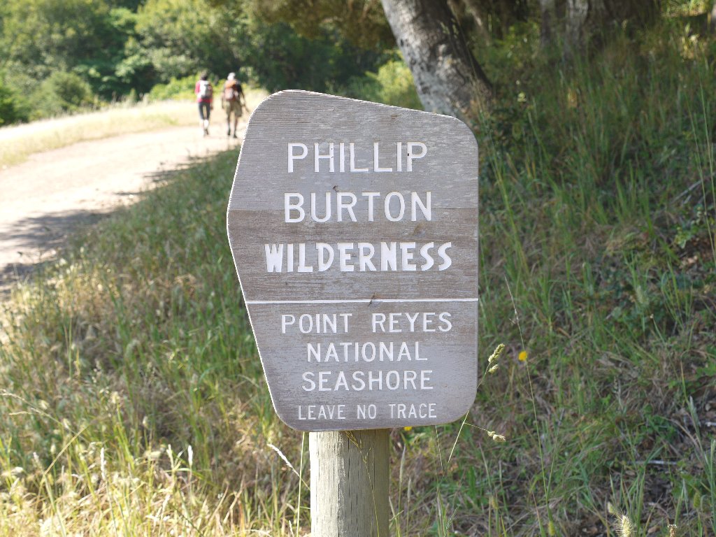
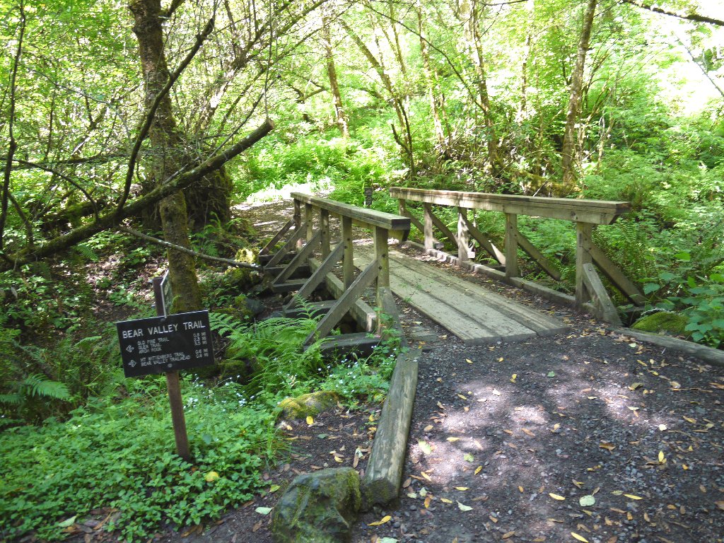
Welcome Signs
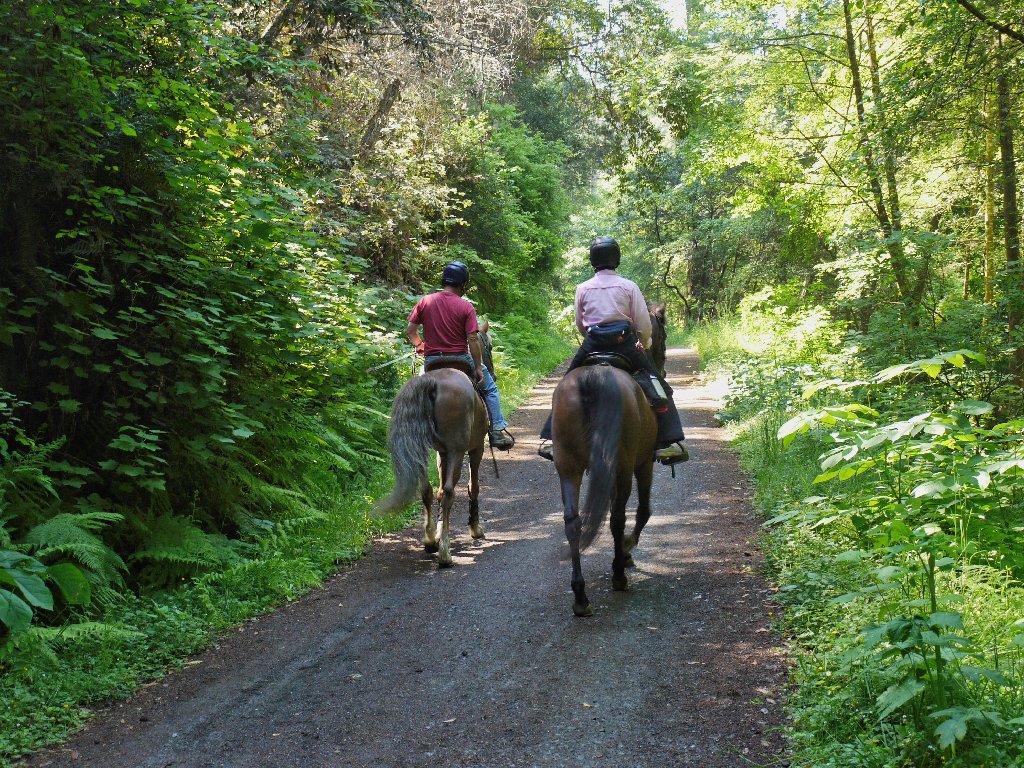
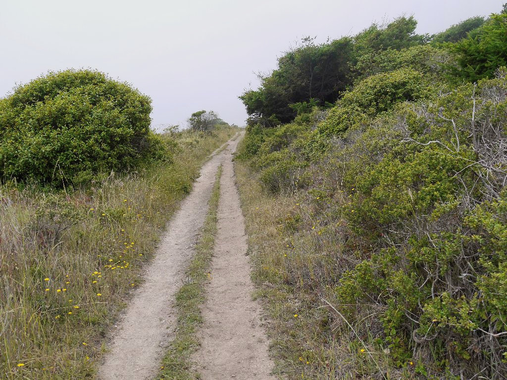
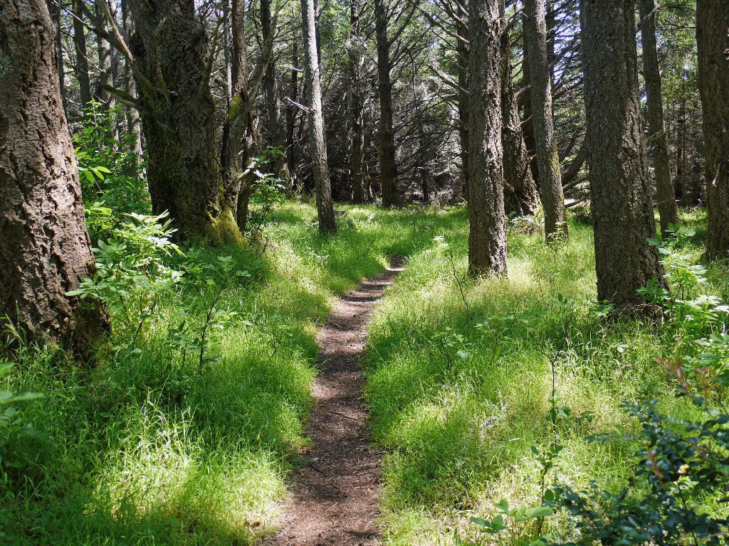
This trail is a roadway, popular with bicyclists and equestrians alike.
Today, I am uncharacteristically packing my best-quality hiking
camera, and my foresight already has been rewarded. Within ten minutes
I have photographed a dozen flower varieties, with many more to come.
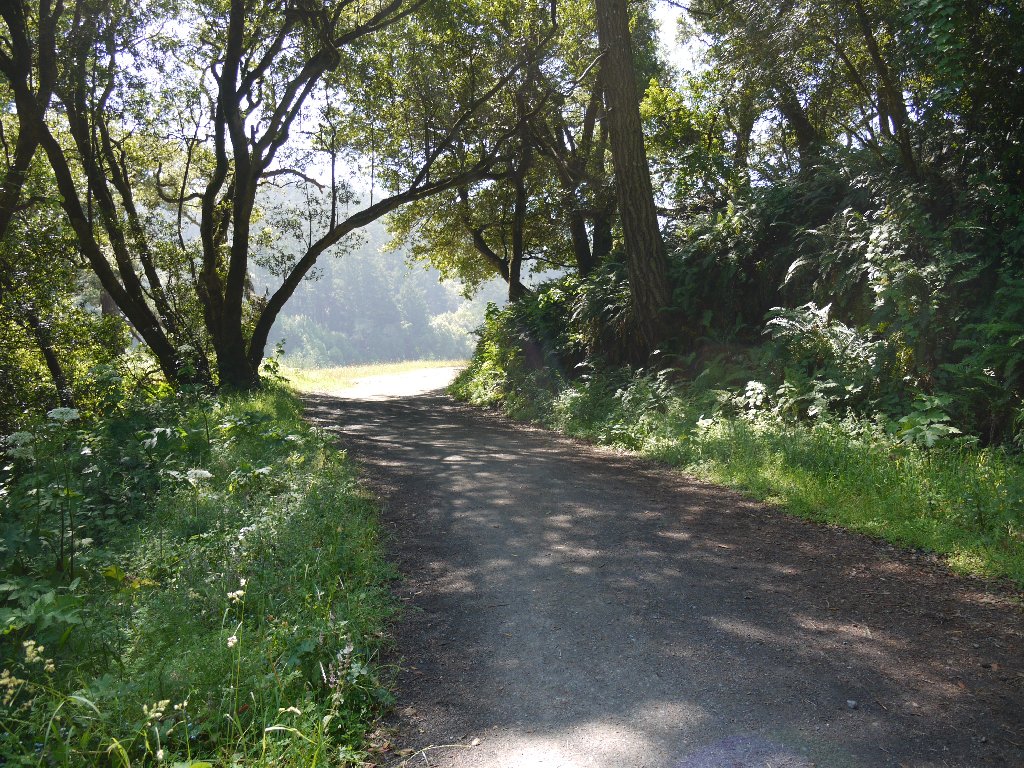
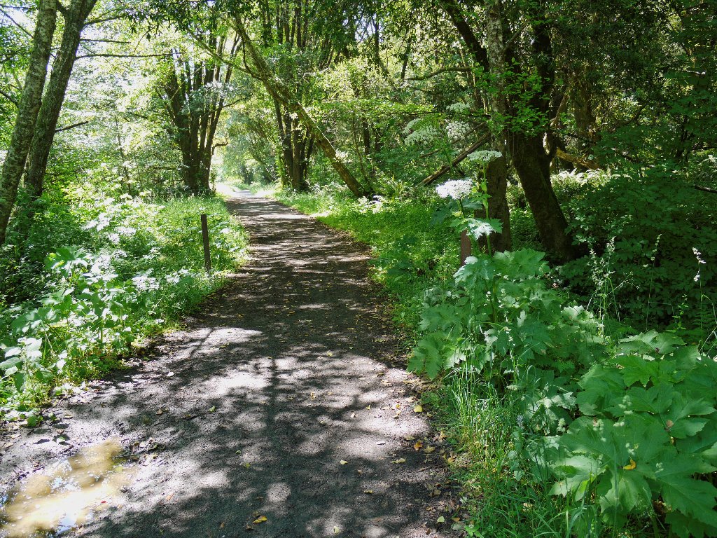
Easy walking, easy riding
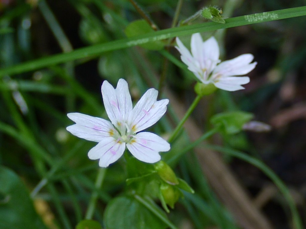
Candy Flower
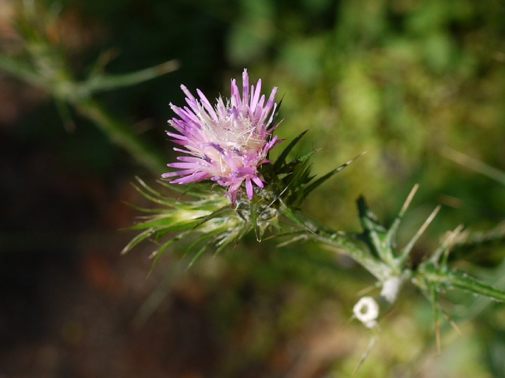
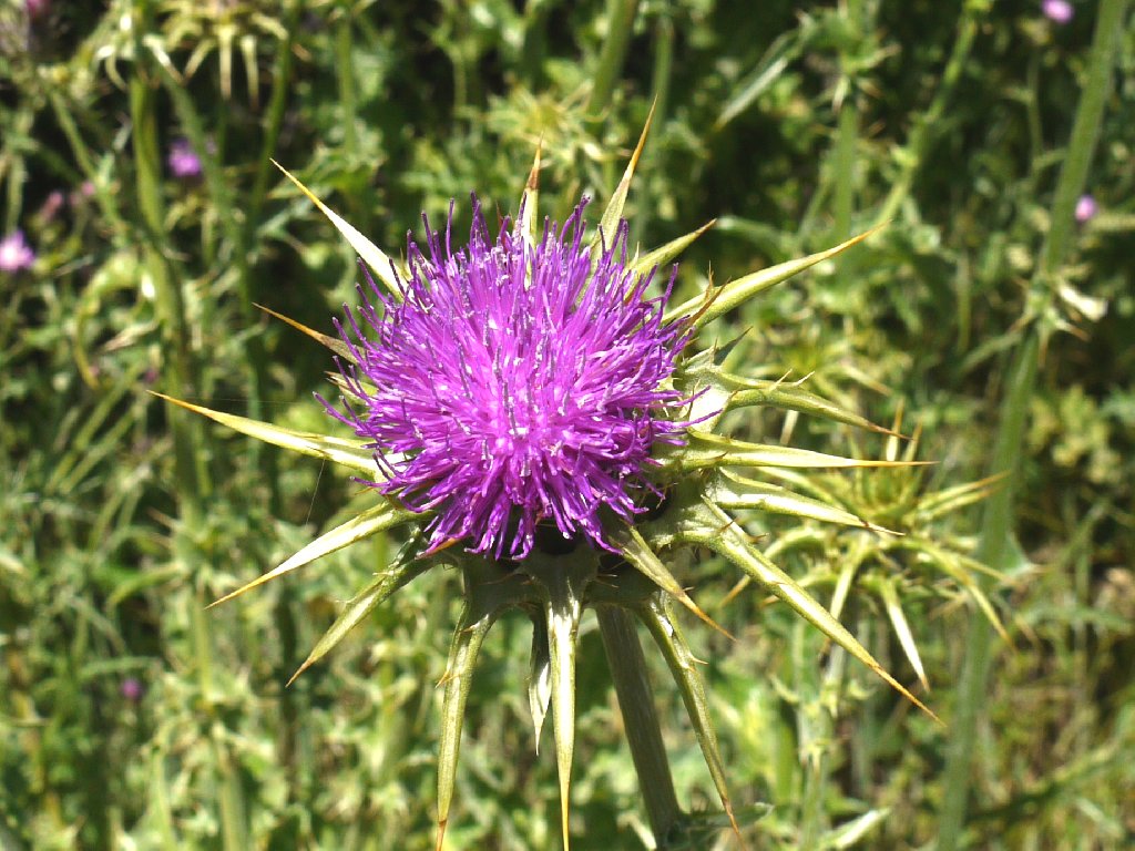
Italian Thistle
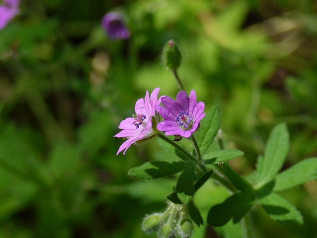
Dovesfoot Cranesbill
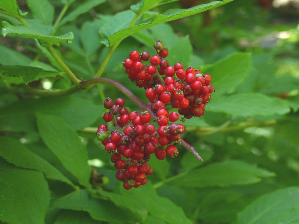
Toyon
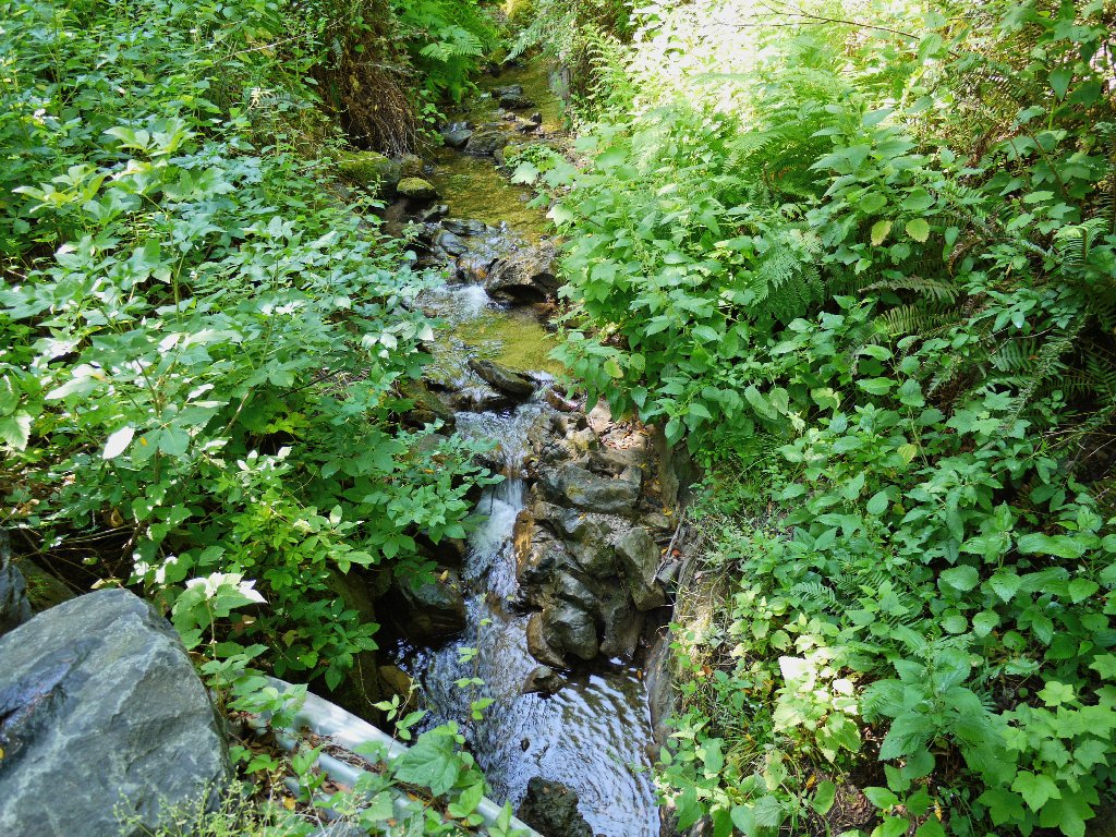
Coast Creek still has a bit of water in it, which is very nice.

California Coast Buttercup
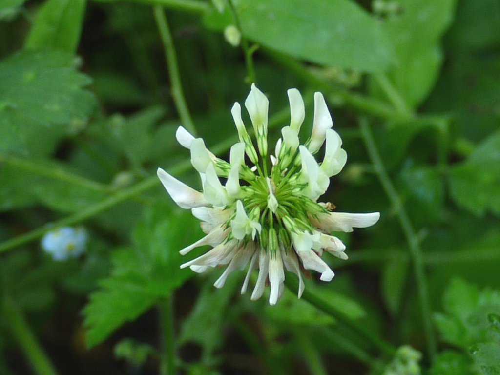
White Clover
The Meadow Trail connecting spur is not on
the itinerary
Approaching an open area
Franciscan Thistle

Common Monkeyflower
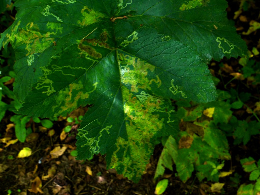
Leaf textures
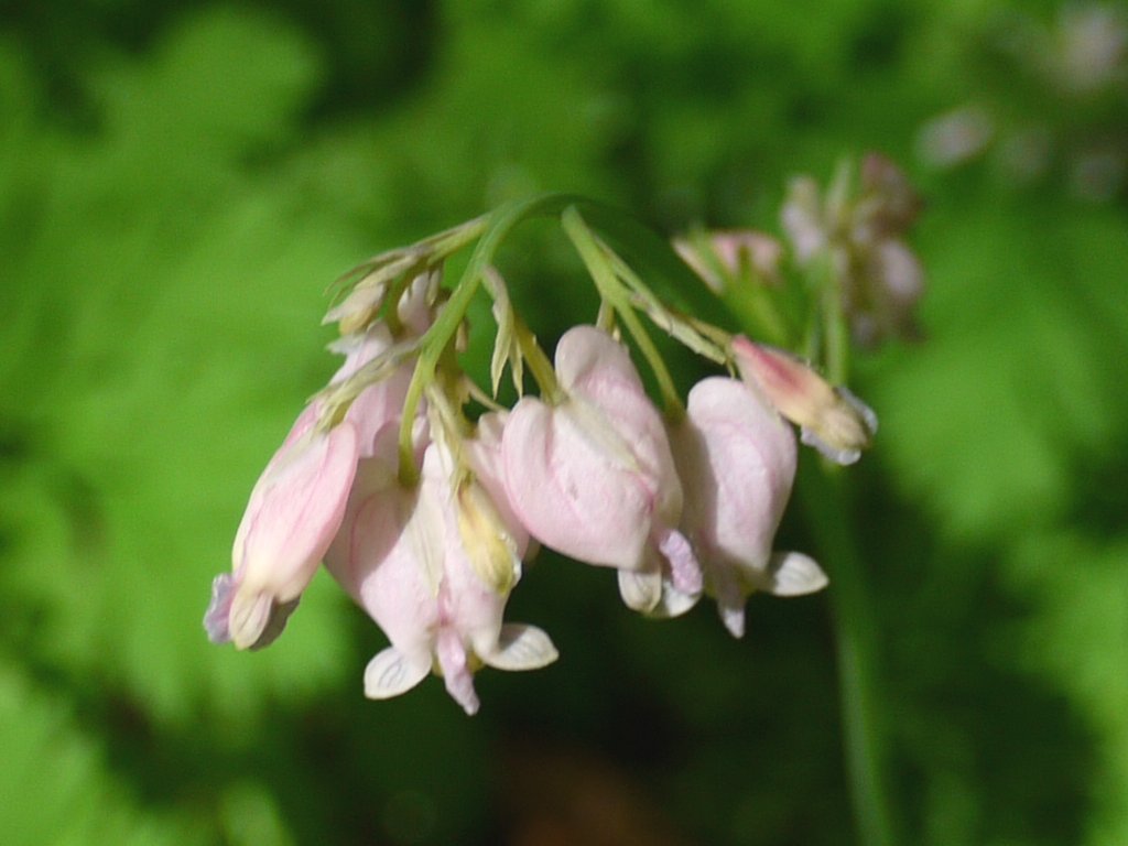
Pacific Bleeding Heart
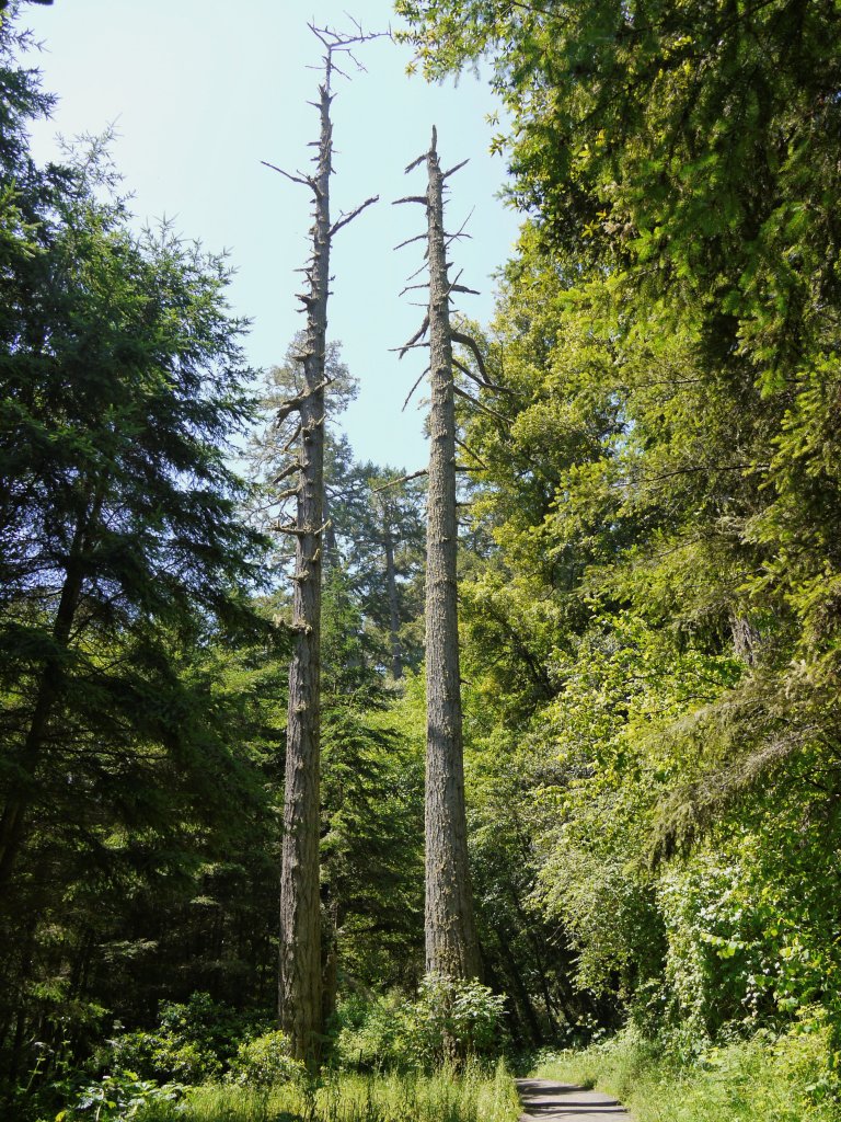
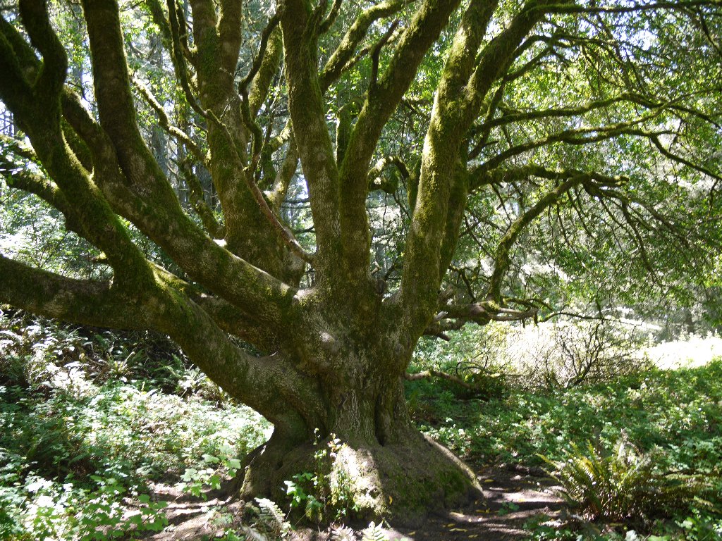
The tallest trees I would see today
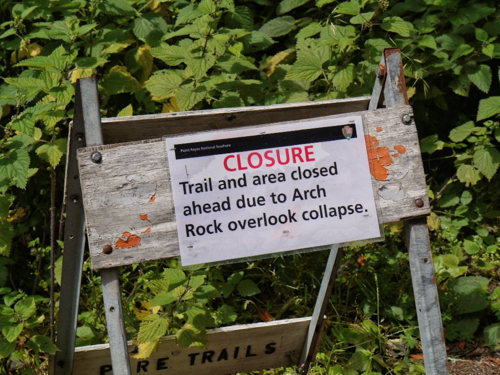
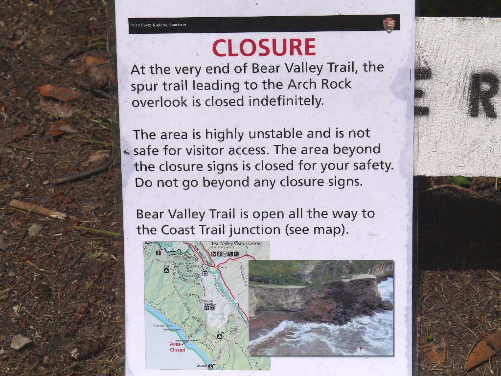
At a junction with the Baldy Trail, I am informed that a view of Arch Rock is not one of today's options; but I press on anyway toward the Coast Trail.
Mellow walking
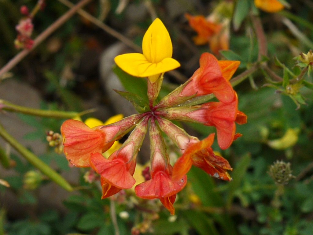
Bird's Foot Trefoil
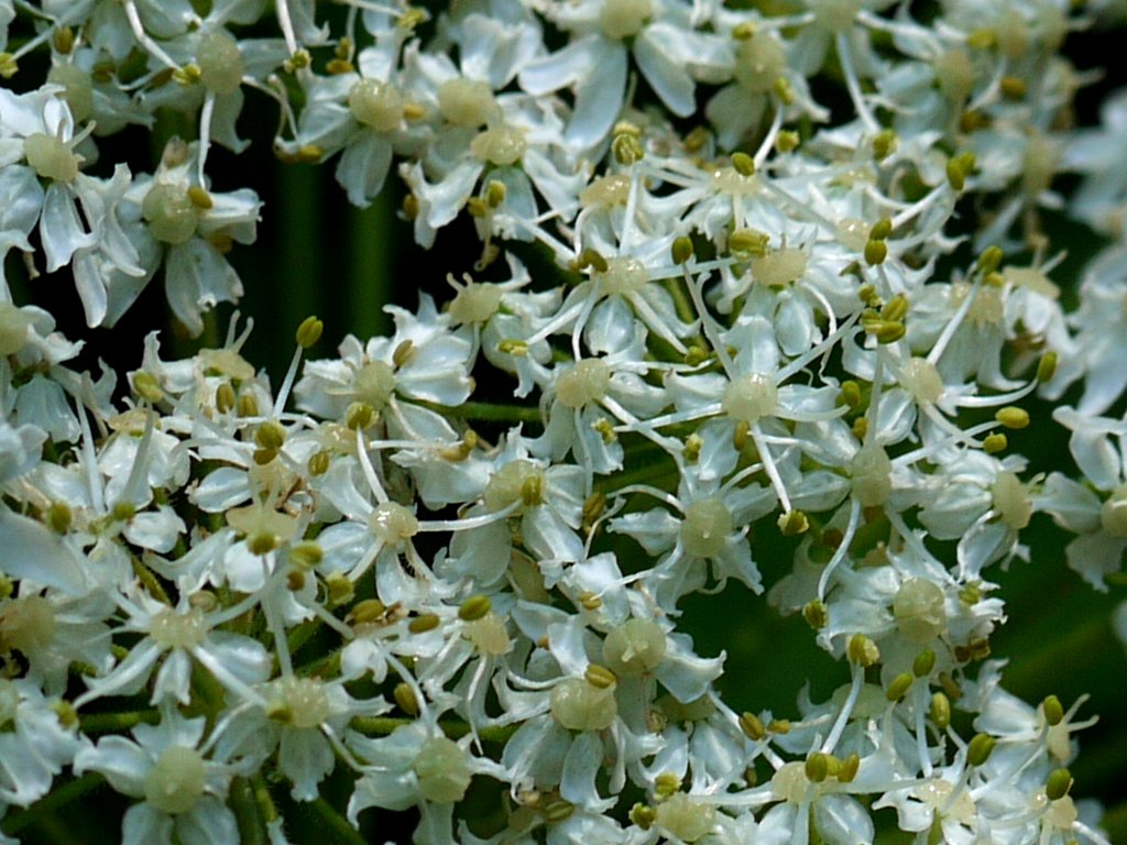
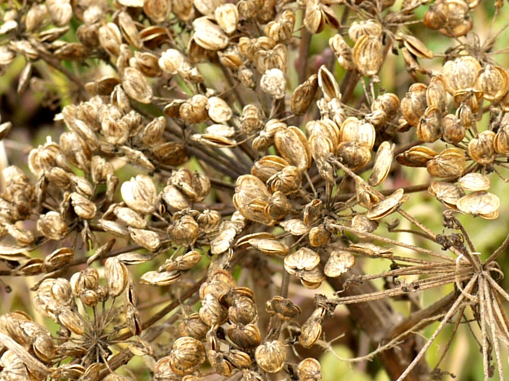
Water Parsley
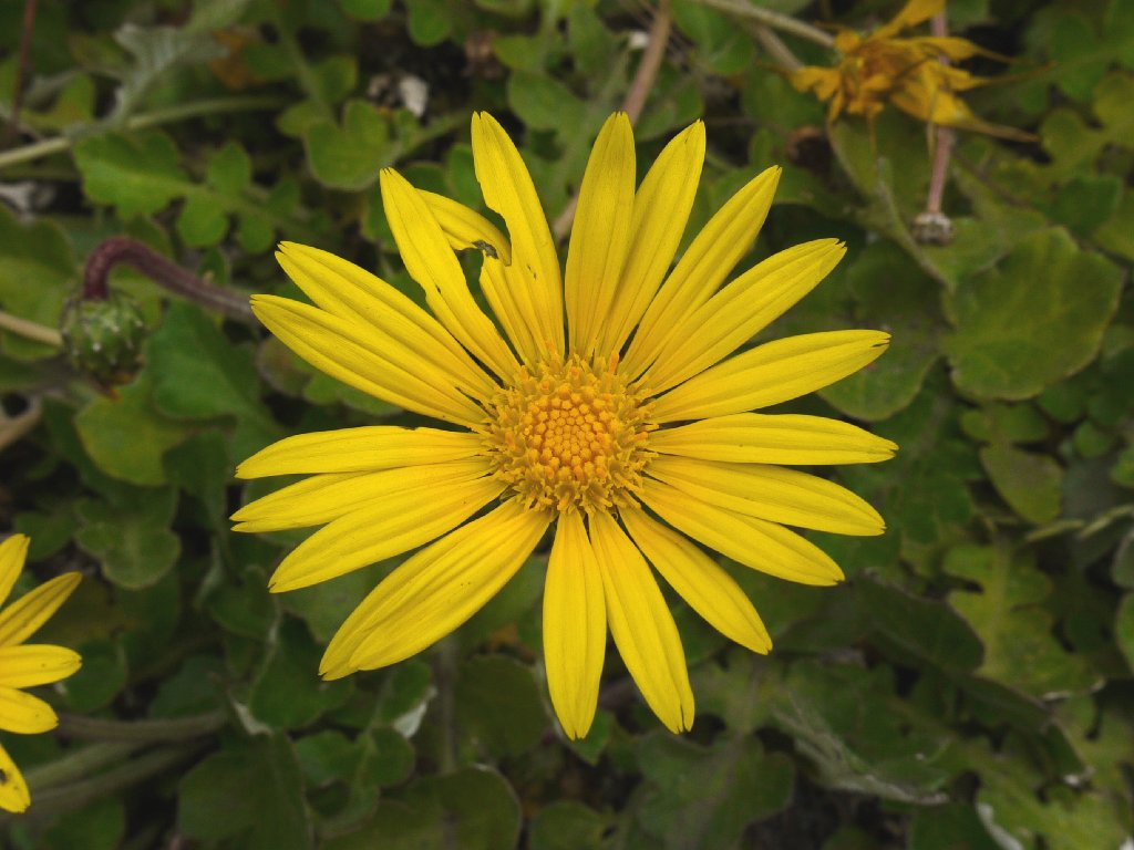
Perennial Goldfields
Blackberry
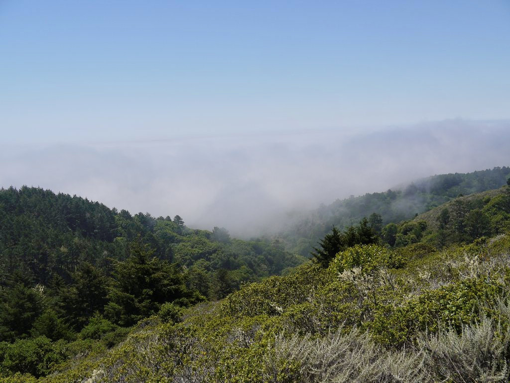
Approaching what should be my first view of the ocean, I discover a fog bank instead. Pshaw.
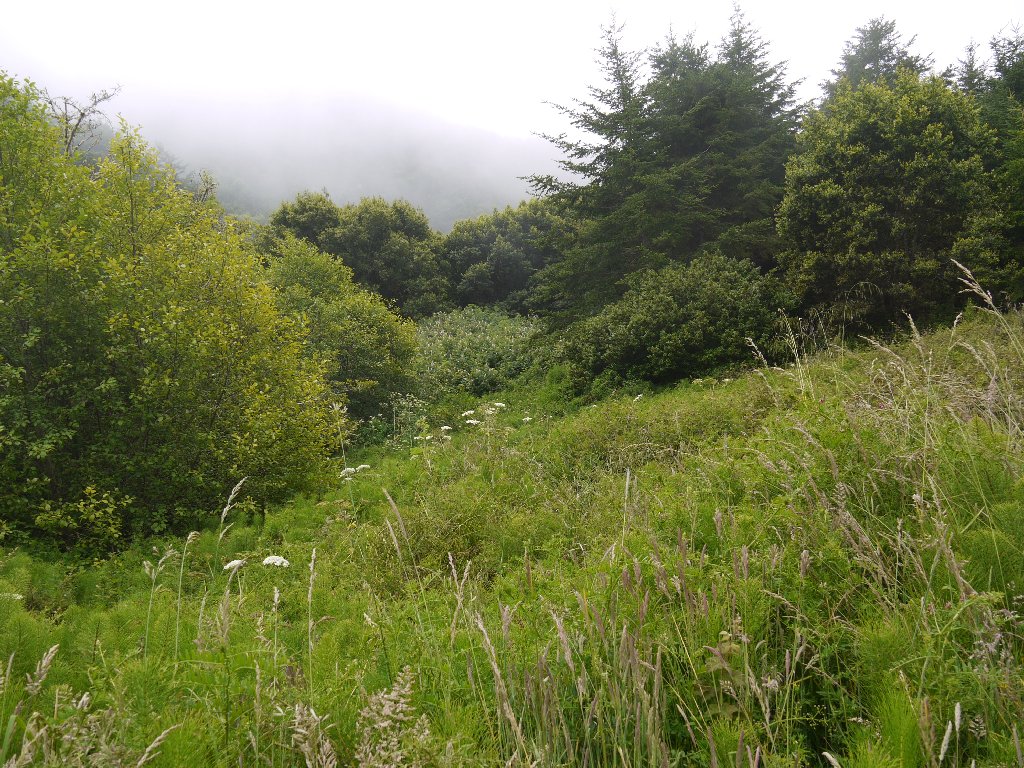
Socked in
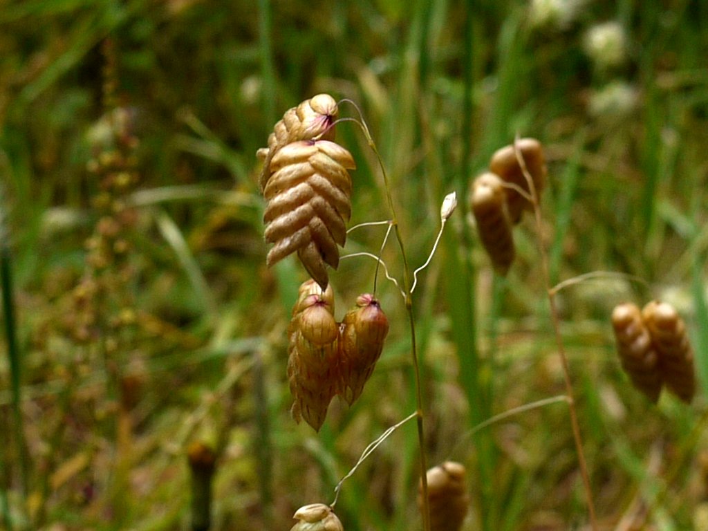
Rattlesnake Grass
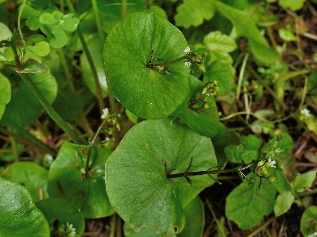
Miner's Lettuce
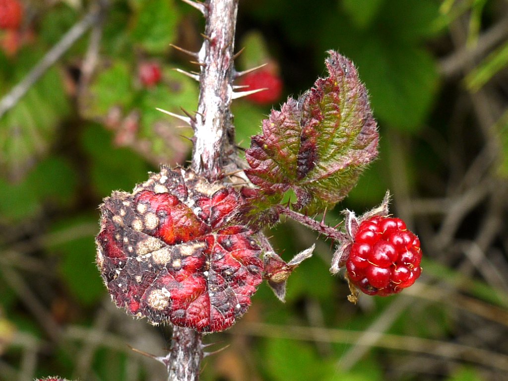
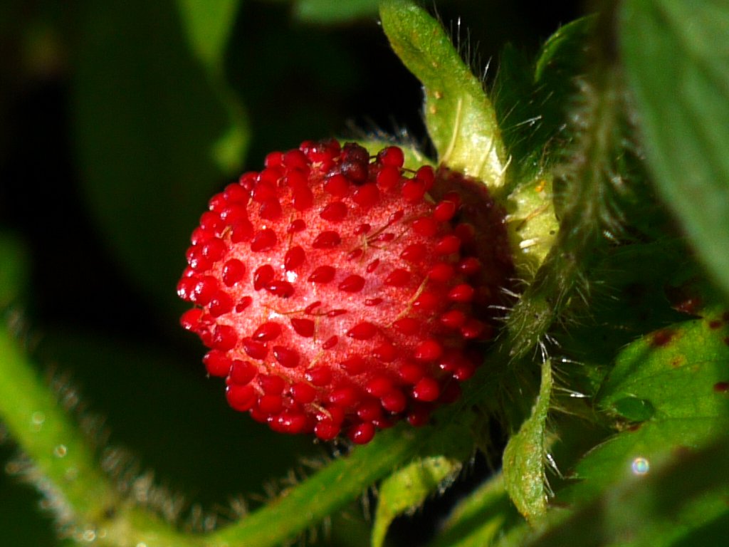
Pacific Salmonberry
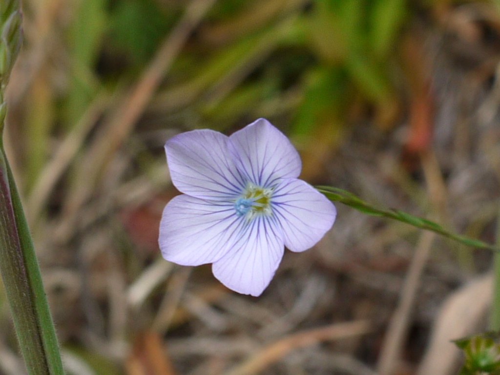
Narrowleaf Flax
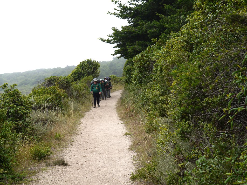
Near the end of the Bear River Trail is a group of scout backpackers of both genders.
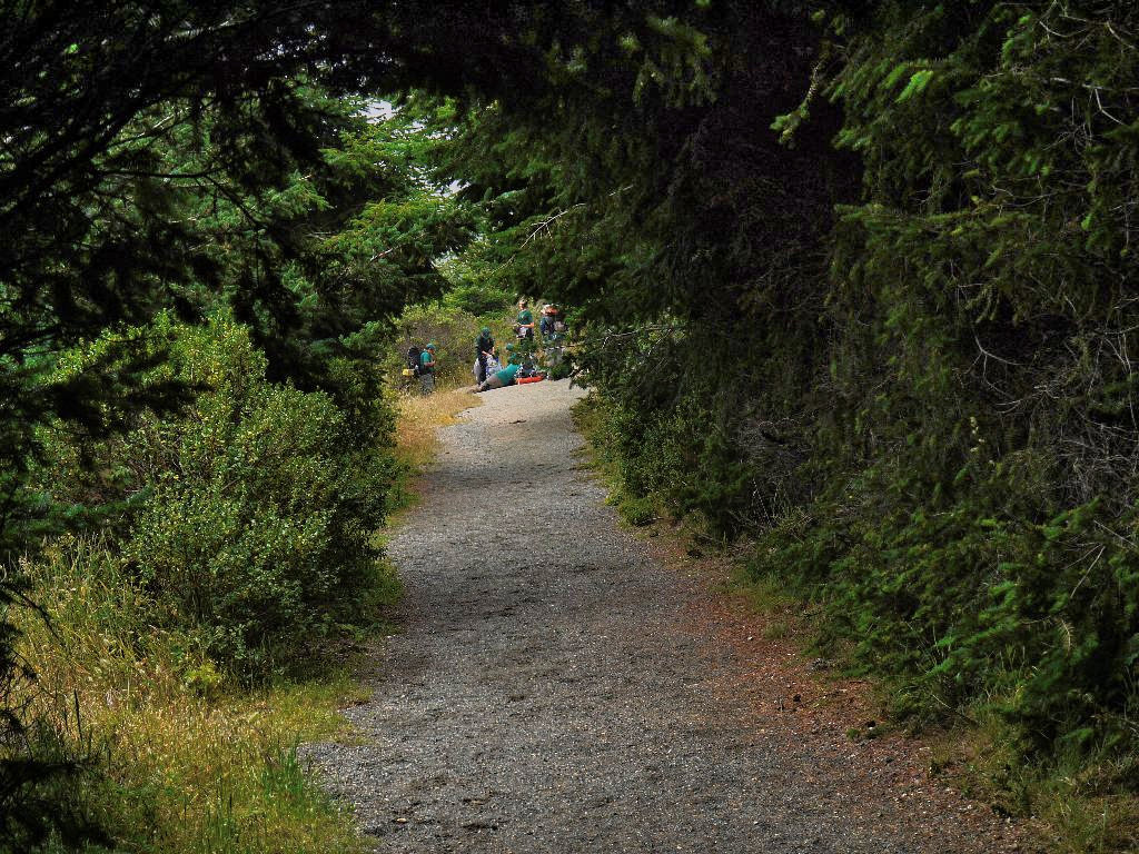
Reconnoitering for the next lap
Two other scout groups approach

Dune Lupine
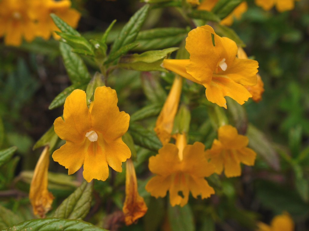
Sticky Monkeyflower
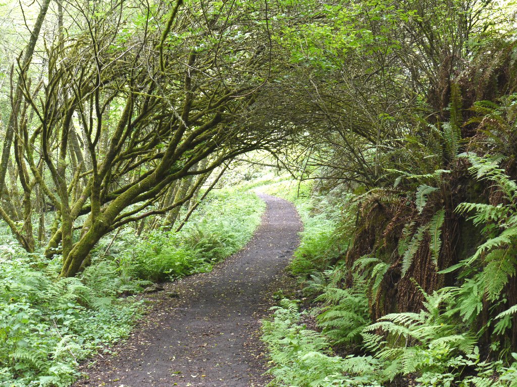
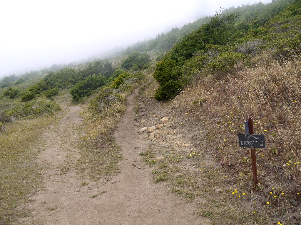
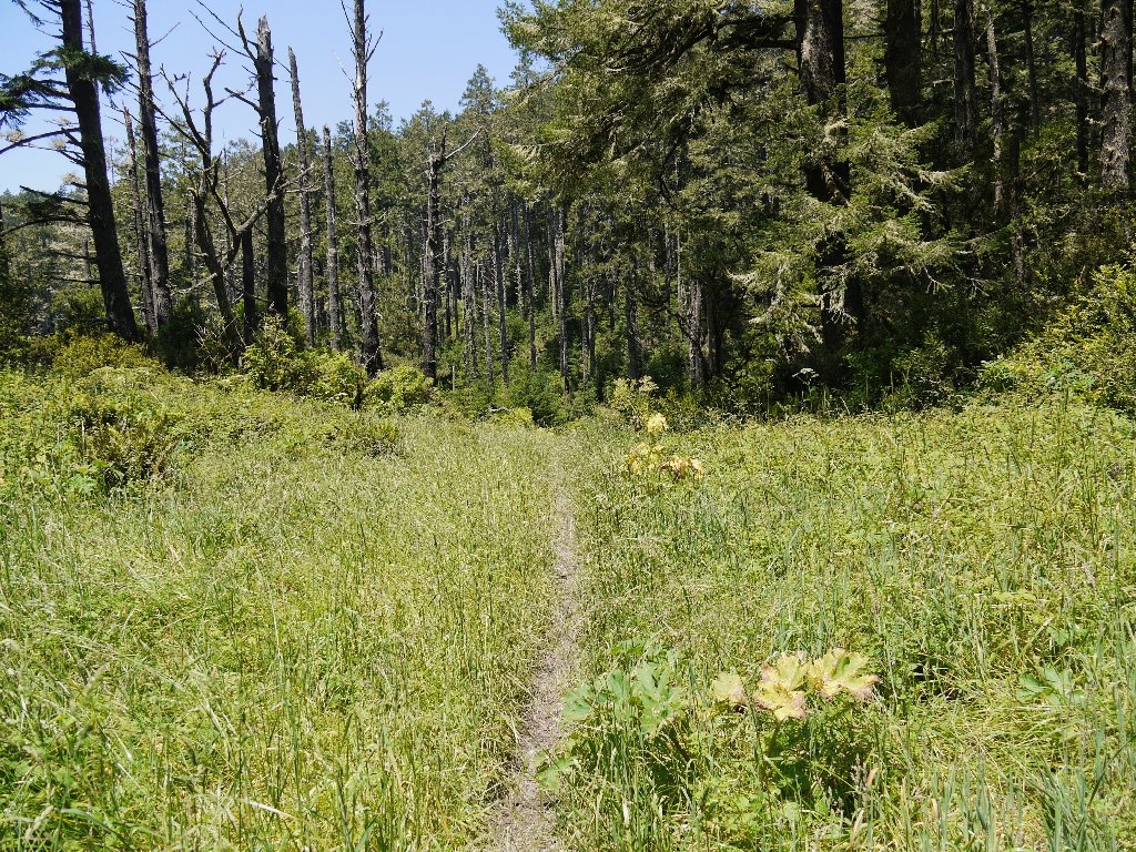
Now I am out of the forest and on the Coast Trail, heading north.
Little to see but more flowers and grasses
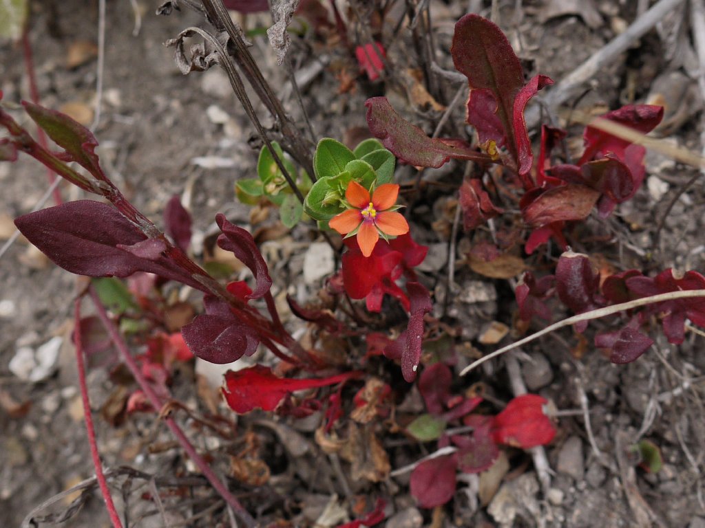
Scarlet Pimpernel
Smooth Cat's Ear
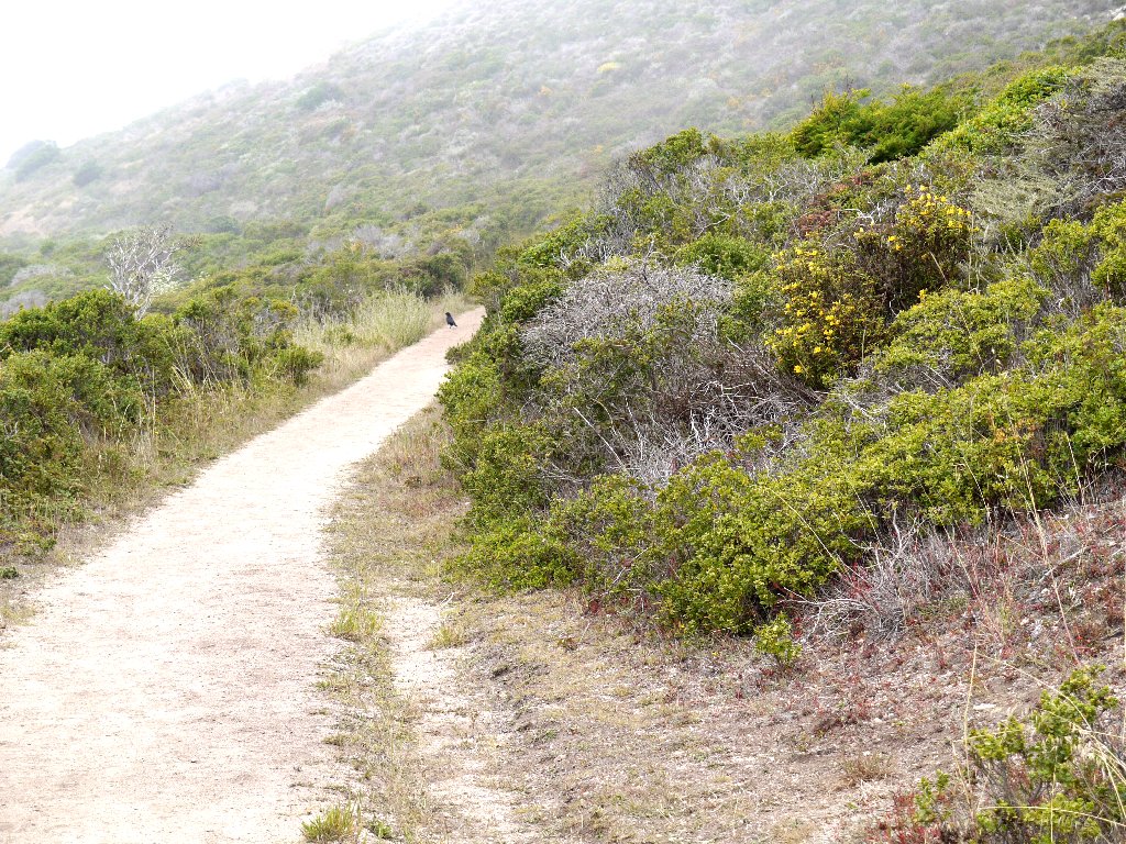
That crow doesn't want to share the trail
Cow Parsnip
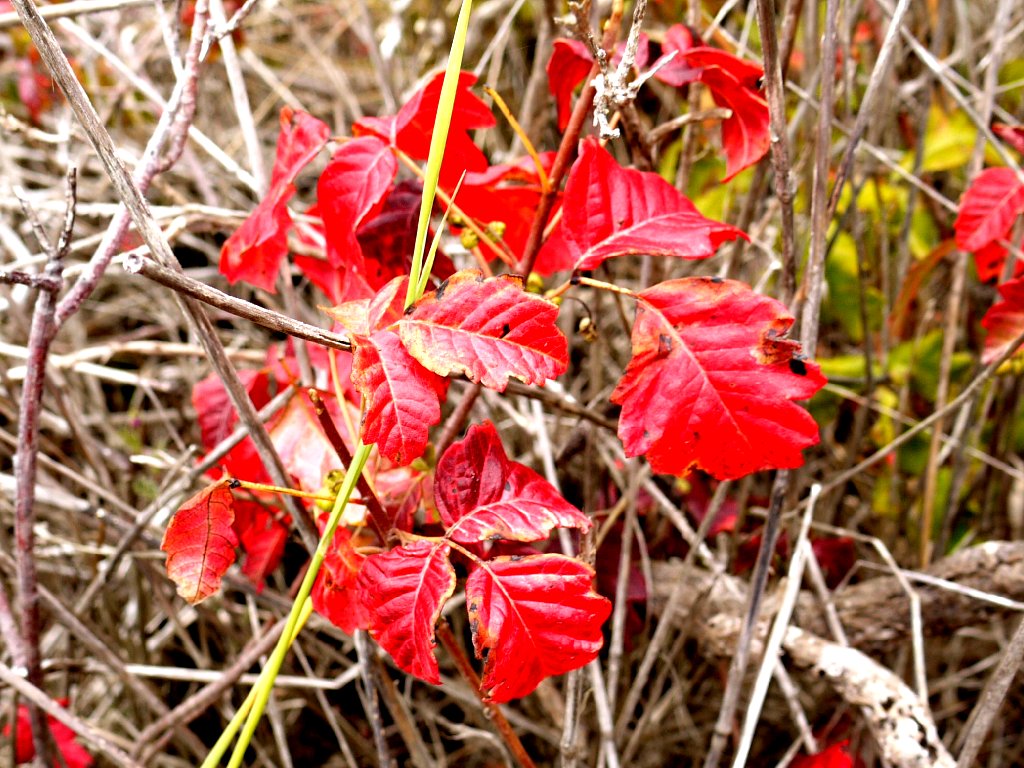
Poison Oak
The fog actually has lifted enough that I can see that there is water underneath it.

Arch Rock
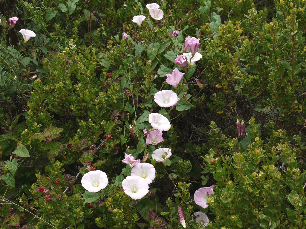
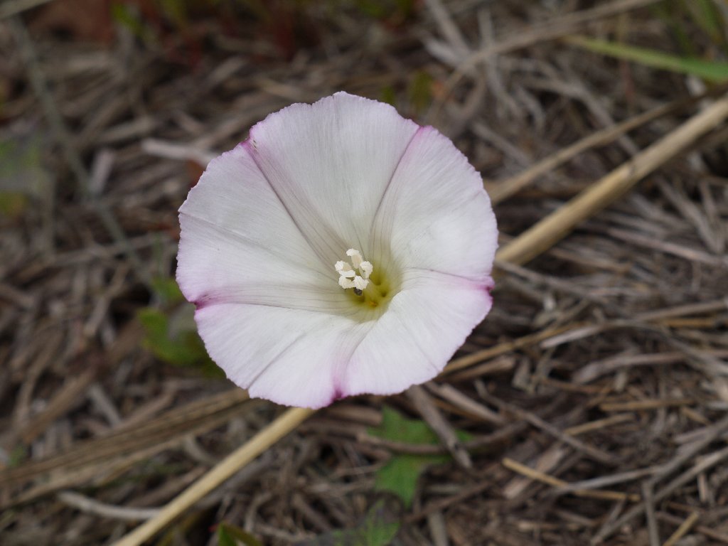
Purple Morning Glories

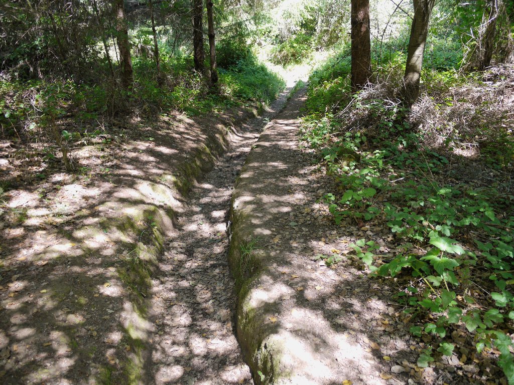
Some segments of this trail are due for a trimming
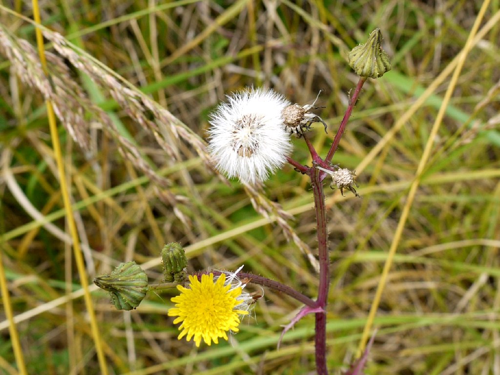
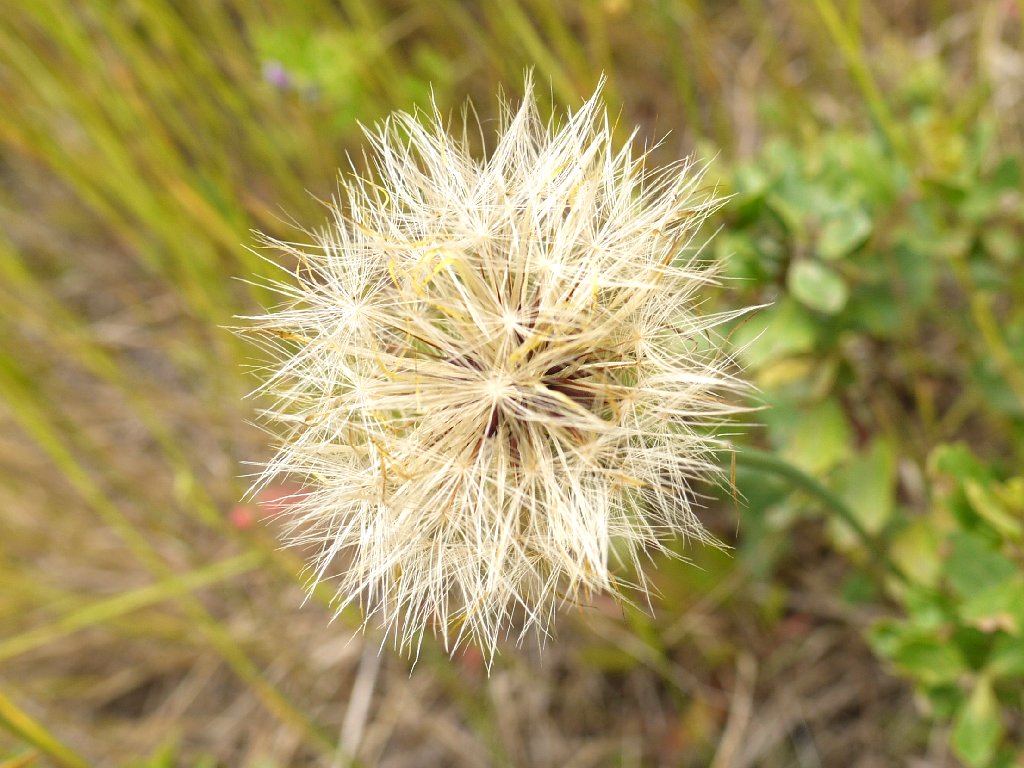
Even the Dandelions are pretty

California Bent Grass
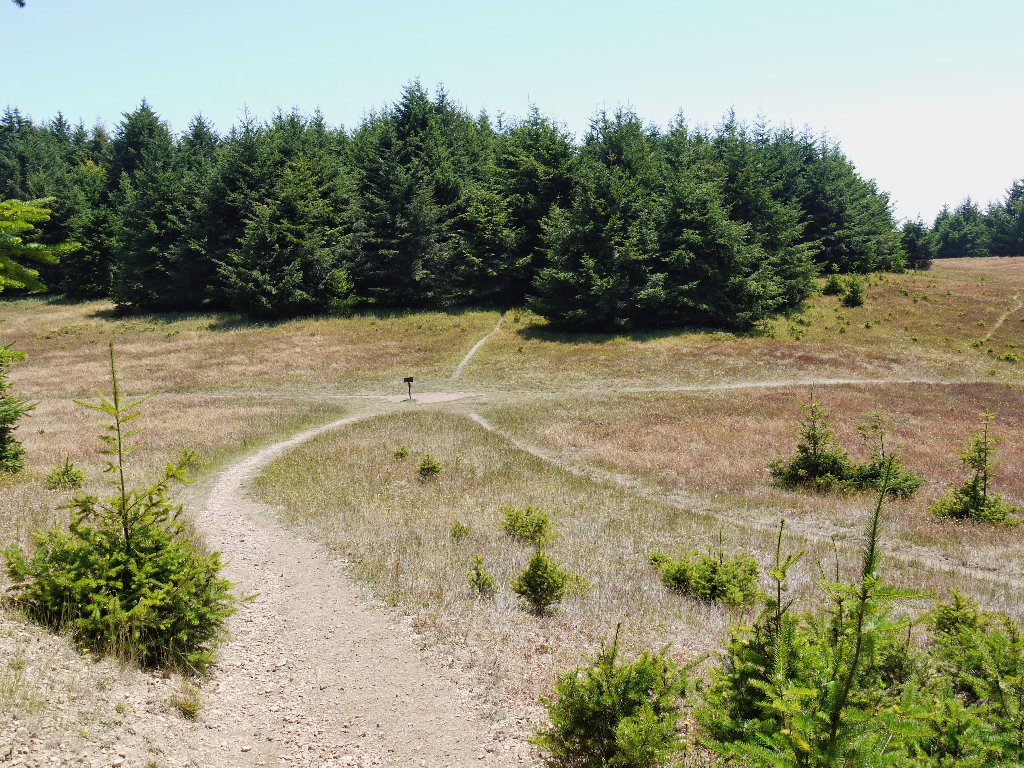
At the next junction, the signpost says that it is three miles up to the Woodward Valley Trail; yet this loop is proving longer than expected, and I am short on water. I will cut up the hill here on the Sky Trail instead.
The halfway point of the loop
The first real work of the day begins here, as I commence a 1,400-foot climb.
A nice lunch spot
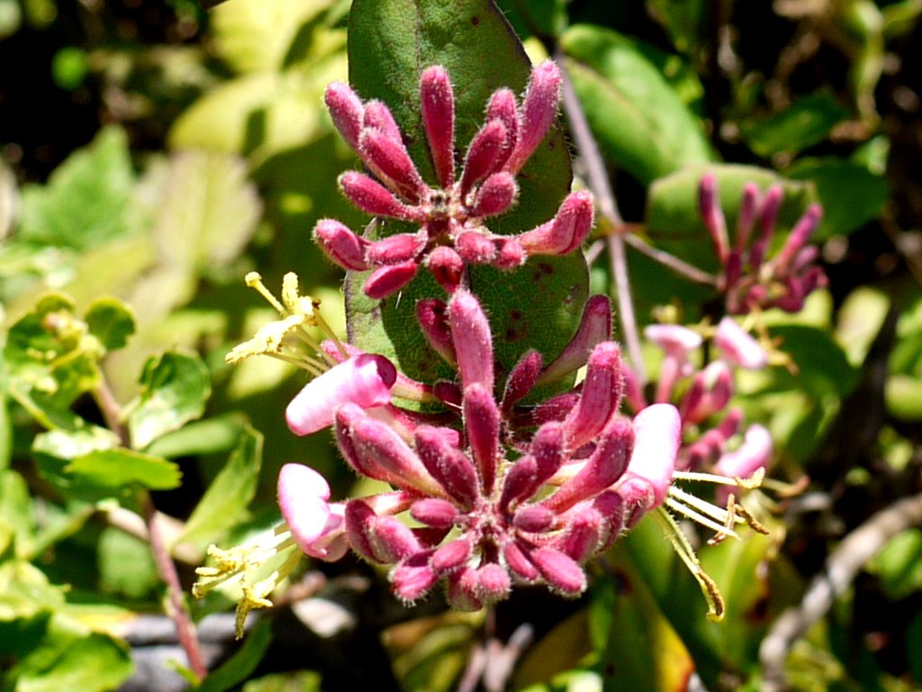
California Honeysuckle
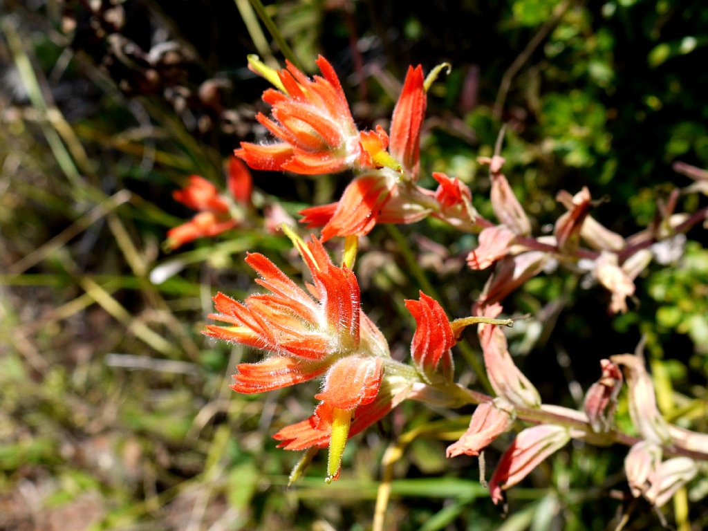
Coast Indian Paintbrush
Still no sight of water
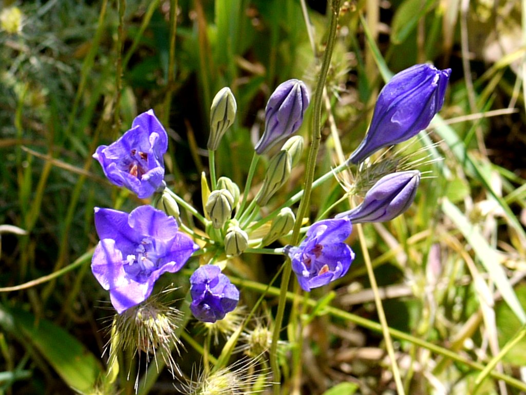
A Brodiaea of some kind
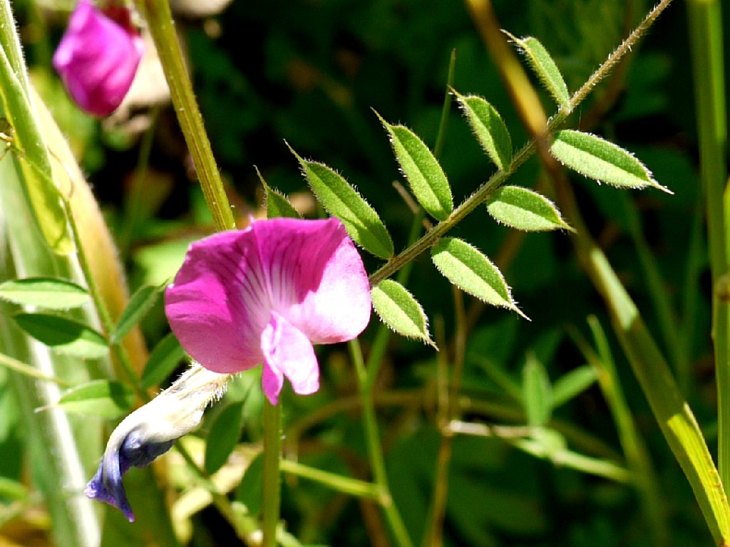
Common Vetch
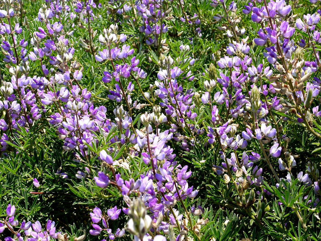
Silky Lupine garden
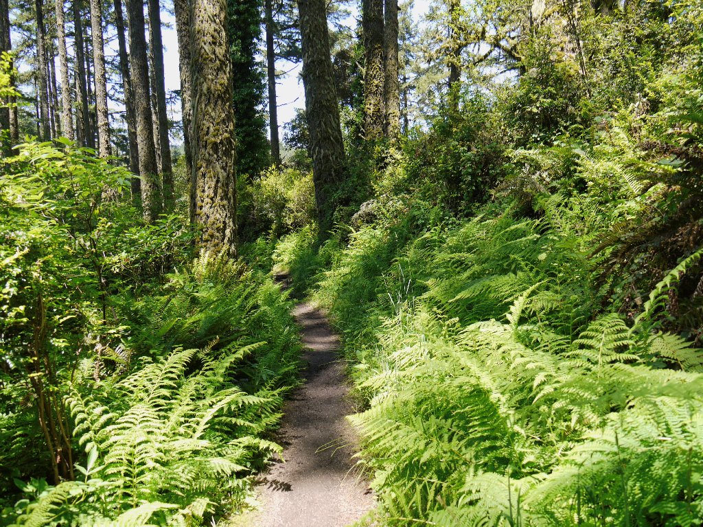
Re-entering the forest, I say goodbye to all the flowers. They don't do so well underneath the tall trees in drier areas.
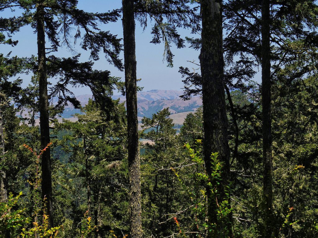
The only semblance of a vista on the entire route
A little snake darts in front of my path, then slithers down a bit farther to see what I will do. This gives me the chance for a photo.
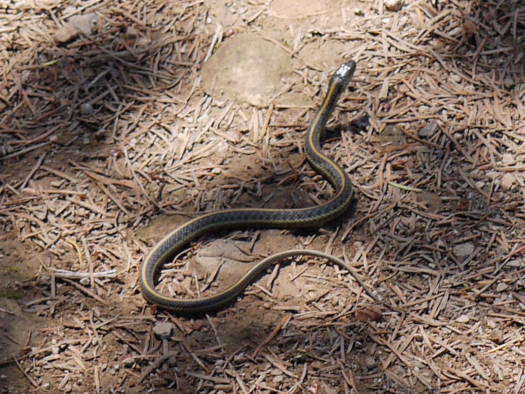
Coast Garter Snake
I am down to just half a dozen remaining swallows of water, and the air
temperature must be up near 80 degrees by now; but when a signpost
reads, "Mt. Wittenberg Summit .2", I cannot resist. Maybe I'll
get some sort of decent view after all.
Wrong. This high-point is nothing more than a series of go-nowhere
trails through the trees, created by others also hunting for something to see.
The summit of Mount Wittenberg, 1407'
Without bothering to explore further, I start back. More than two miles of downhill walking remain.
Major intersection
Well-worn path
This last lap is steep enough to cause me to wonder why I ignored both a walking stick and knee braces today. Halfway down, as I consume the last of my water, I suddenly realize that there was a utility water bottle in the car all along, stashed there for just such an occasion. How stupid.
There's a drinking fountain over there
By heading north on Highway-1, I finally did get a glimpse of the ocean:
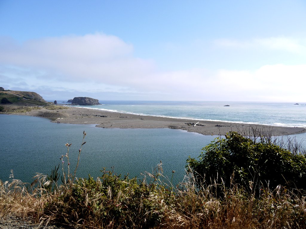
Better late than never, I suppose
§: The creekside Bear Valley Trail was delightful; and the Coast
Trail was okay, but with no views today. The Sky Trail was just a
mundane slog, with no flowers and no views; I cannot recommend it at all.
On the other hand, I got some of my best-ever flower shots today.
| Scenery |  |
| Difficulty |  |
| Flowers | |
| Solitude | |

ADDENDUM
Subsequent reading revealed that in mid-March, the Arch Rock
Overlook area became unstable and developed a sizable fissure.
On March 21, the fissure collapsed underneath a picnicking couple,
and a woman died. The Park Service had posted numerous warnings
and closure signs two days earlier.
