
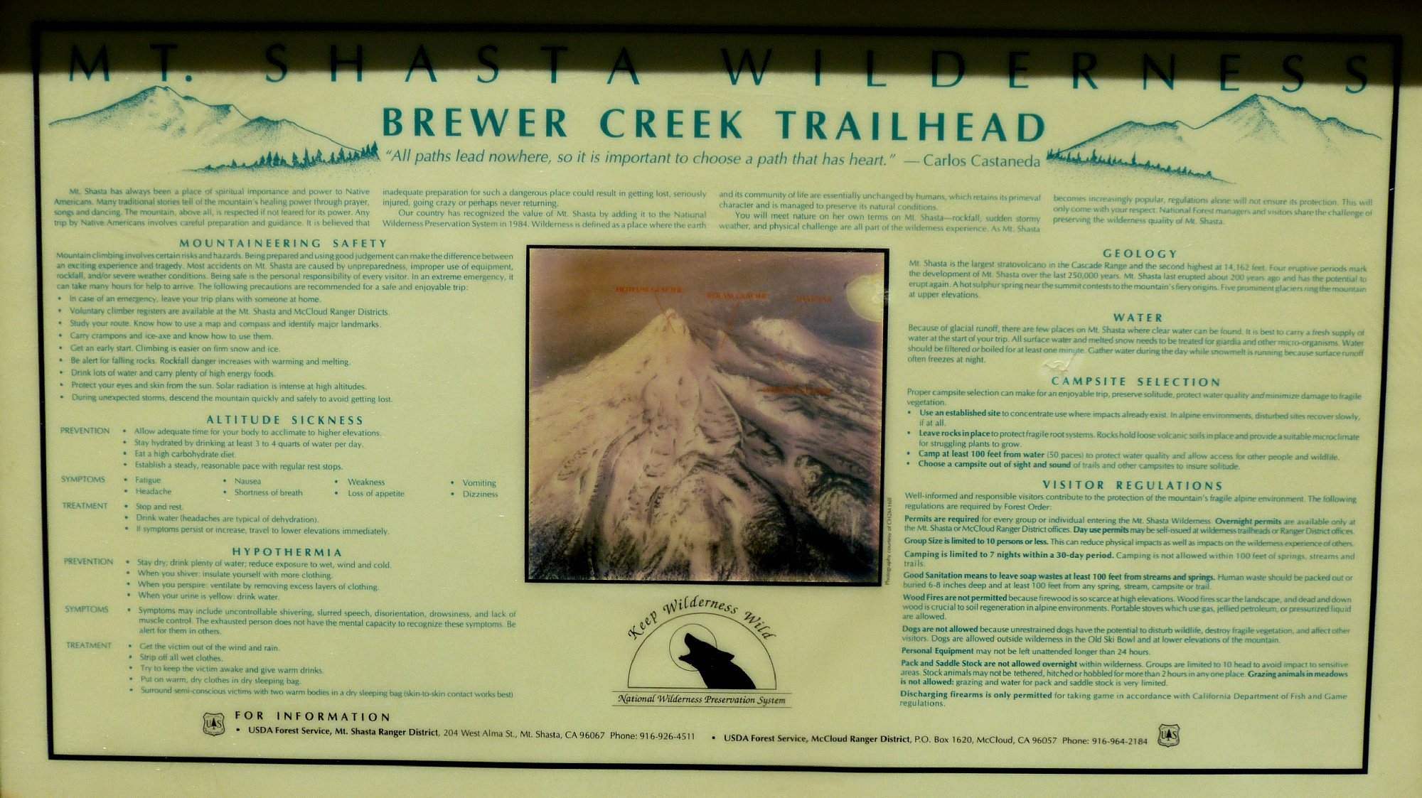
Mount Shasta Wilderness
|
Brewer Creek Trail Mount Shasta Wilderness |
June 8, 2015
On my way to Oregon for a few days of hiking, I had intended to explore the McCloud River Falls area; but no signposts exist for Fowler Campground or the falls trail, and some gates are locked. It's as if the area had never existed. Go figure.
It being time for Plan-B, I pick up a map at the local ranger station,
head east on the beloved Highway-89 for a few miles, then turn north
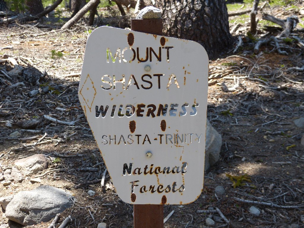
on a nicely paved road signed as leading to Mount Shasta Wilderness
trailheads. Choosing to ignore the 8-mile spur to Clear Creek,
I follow the signs to the more distant Brewer Creek Trailhead instead.
The myriad unpaved logging roads are generally smooth enough, but a few bumpy
spots are bad enough to preclude passage in a vehicle without high clearance.
It's a 7,000-foot climb from here ⇔
Permits to summit the mountain cost $25; the one for my day-hike is free. It is pretty hot out, but I'll venture up the trail and see what there is to see.
First visit
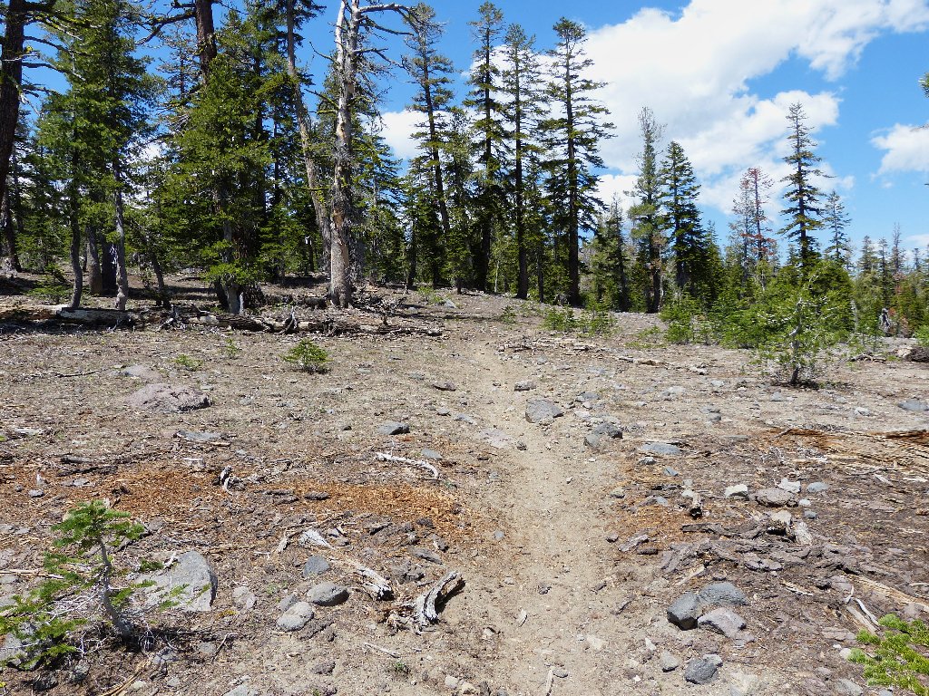
Not much going on here
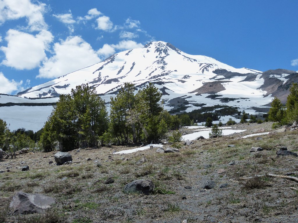
Finally, the trees give way to a vista of the main attraction.
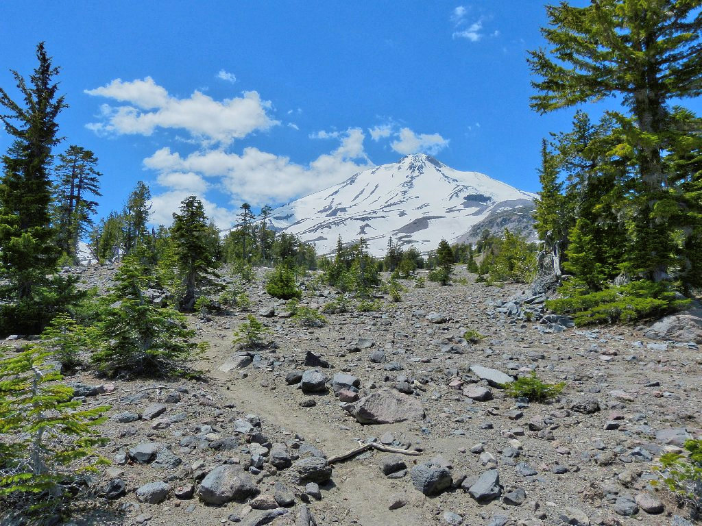
Mount Shasta, 14179'
This is such a unique mountain! Aside from its vaunted spiritual significance, Shasta is by far the tallest peak for nearly 400 miles in any direction. Its seven glaciers, with names such as Bolam, Hotlum, and Konwakiton are, with but one tiny exception on Mount St. Helens, the only glaciers in North America that are known to have been growing over the past fifty years. Now, even they have been stopped in the wake of California's ongoing severe drought.
Unless the greenhouse gases magically disappear, these snowpacks will be long gone by the end of the century. As it is, the local economy already is suffering. The Mount Shasta Ski Park didn't even bother to open in the last two years.
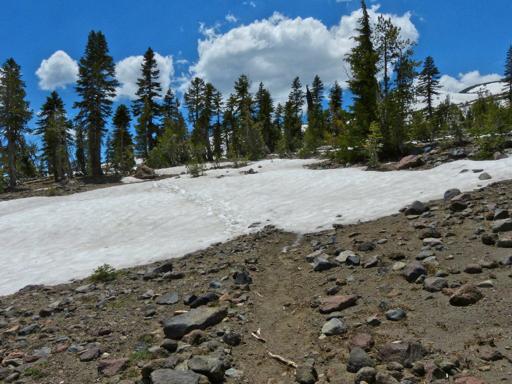
The only snow bank I have traversed this year
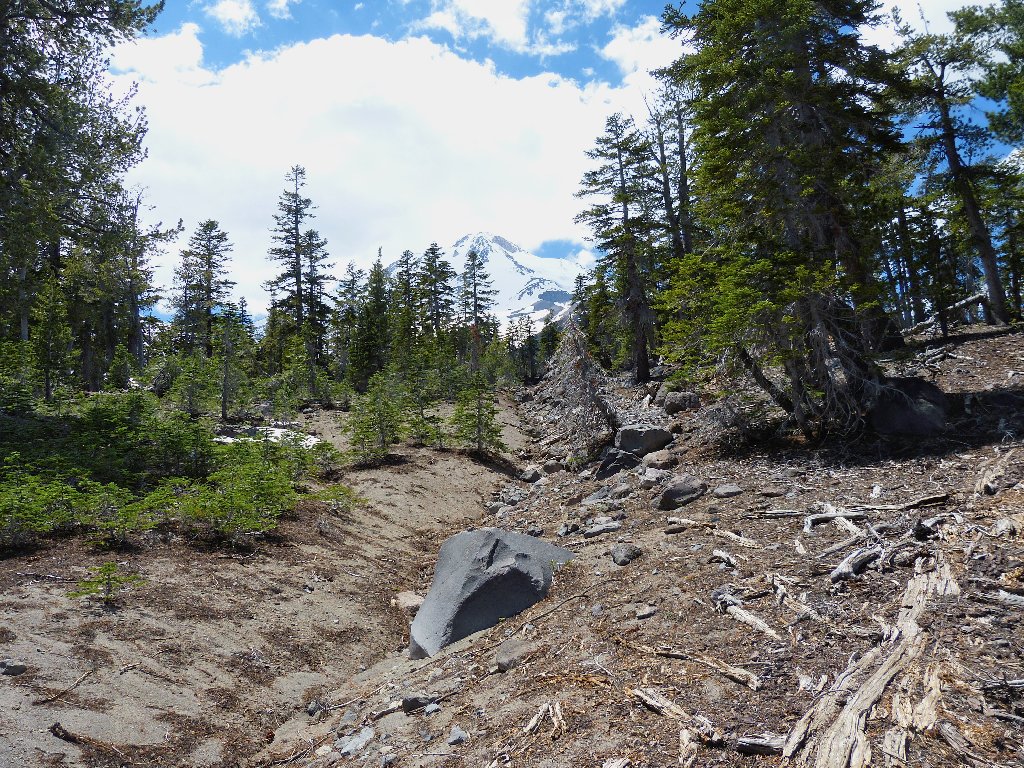
Having no particular destination in mind today, I will stop here,
about three miles from the mountain summit. A lot of driving
remains on today's schedule, and it already is mid-afternoon.
This is far enough for today
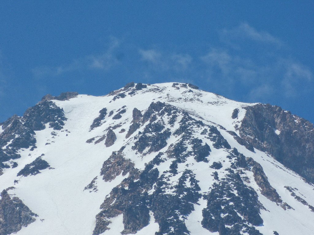
No climbers are visible on the mountain
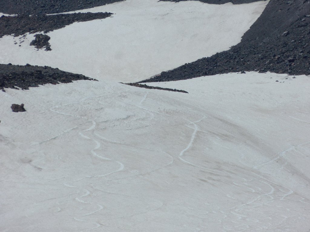
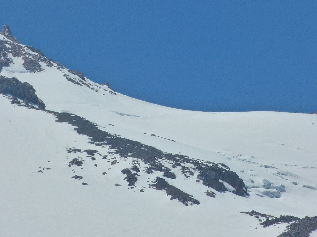
Strange patterns
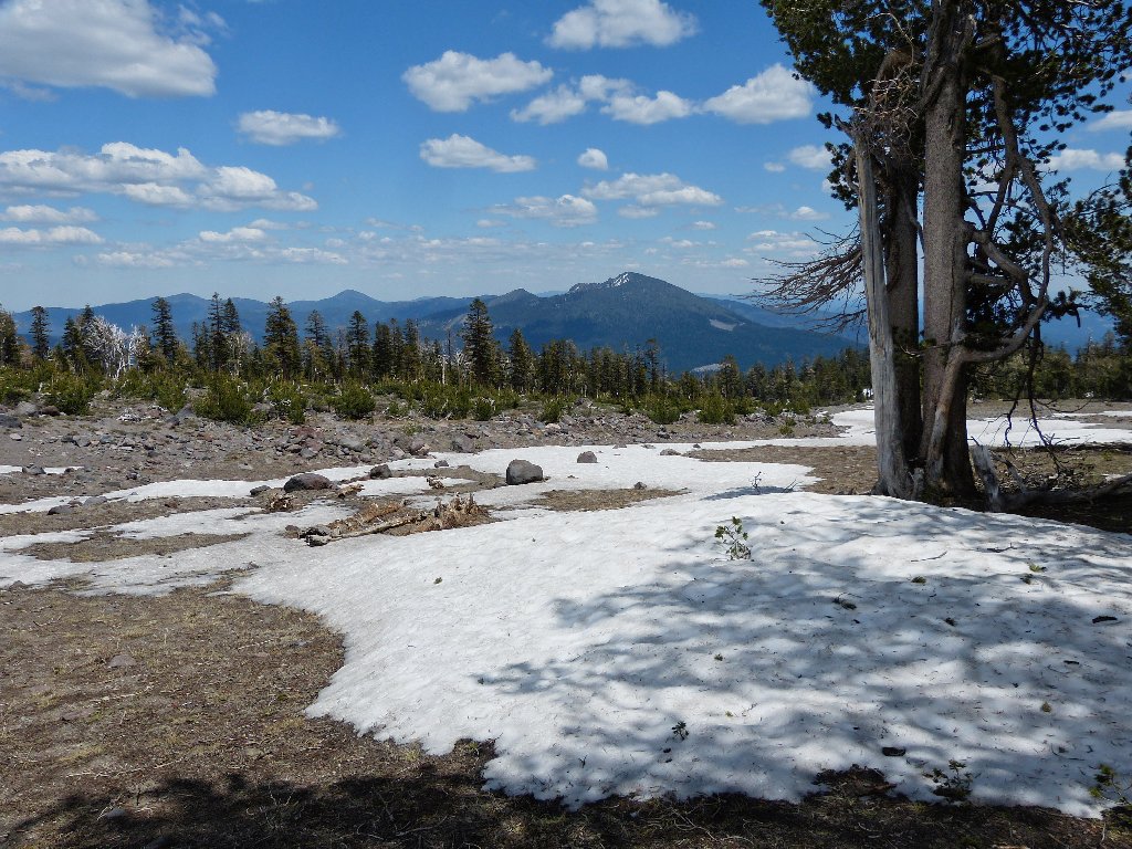
Ash Creek Butte
Some stream flow would have been nice
It is over 80 degrees here now, and rising
Continuing north on the labyrinth of roads with a Forest Service map in hand, my forward progress nearly is stopped by a fallen tree in the road. There is a detour around it however, through some sagebrush and over a decomposed tree.
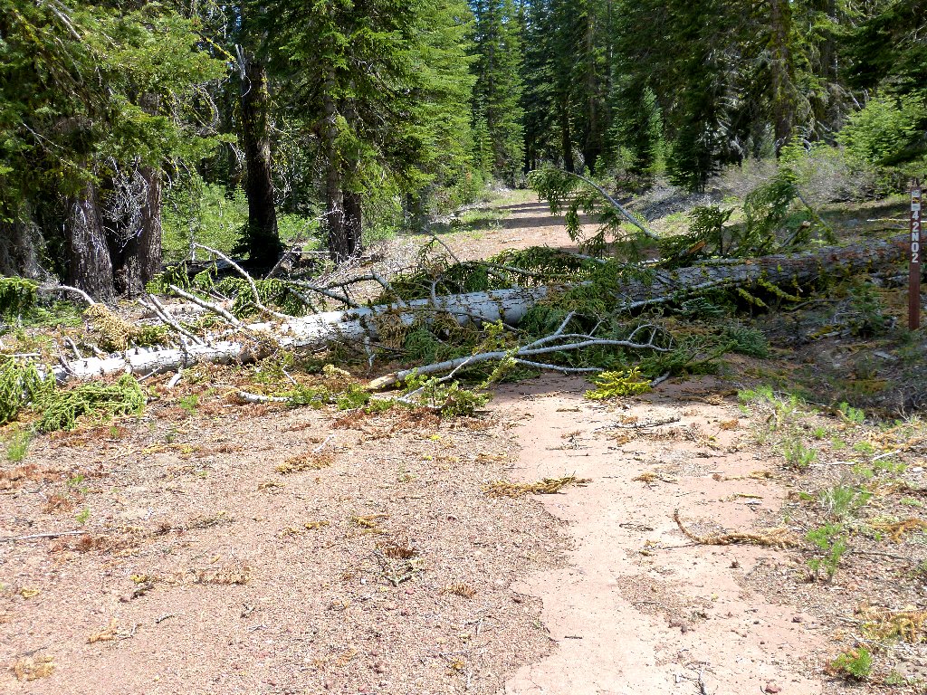
A minor obstacle
§: Well, I'm glad that I found a hike to do today.
It was mellow enough, albeit dull except for the views of the
mountain. Some running water would have made the walk much
more attractive. Clear Creek might have had some.
By the time I reached the valley floor, it was 99 degrees
out; so I made a master decision and canceled my trip to the Oregon
lowlands. Hiking in the heat just isn't my idea of fun.
I will return next April, or perhaps in early May. This day became
a 550-mile drive for a 3-mile walk. Now that's
dedication! Some might call it something else.
| Scenery |  |
| Difficulty |  |
| Solitude |  |
⇔
