South Yuba River State Park
|
Independence Trail East South Yuba River State Park |
April 10, 2015
Needing to find someplace to hike on my way home from Reno, I must come well down the mountain; for as much as a foot of snow was dumped on the summit three days ago. Just north of Nevada City is a short trail that I visited just once, despite my having lived around here for six years.
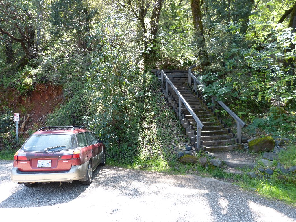
The trailhead on Highway 49
This route is unique in that it was the first nature trail approved under
the auspices of the Americans with Disabilities Act of 1990.
It follows the old Excelsior Mining Canal, which has been made into a
wheelchair-capable pathway. (Those stairs in the photo can be avoided.)
There also is a 'high route' for walkers only
Not many flowers are out yet, but a few of the early-season
regulars have made an appearance.
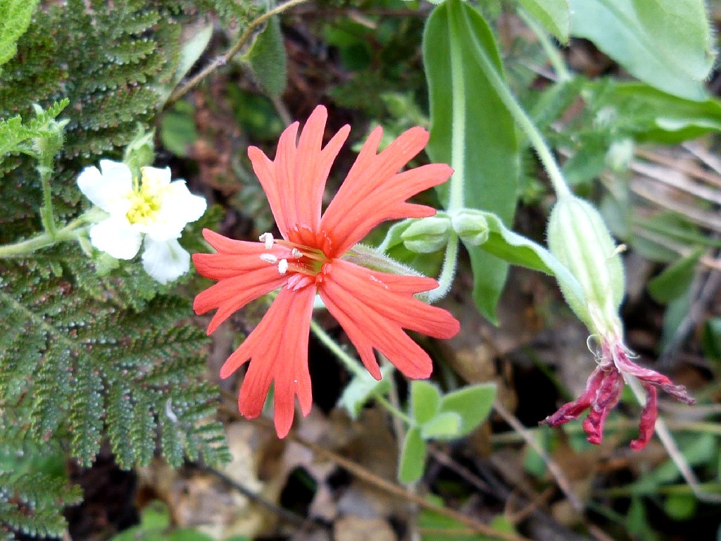
Indian Pink
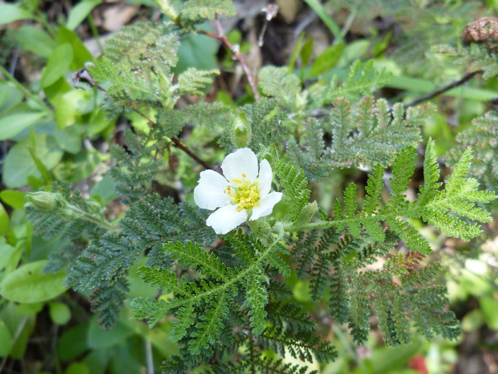
Mountain Misery
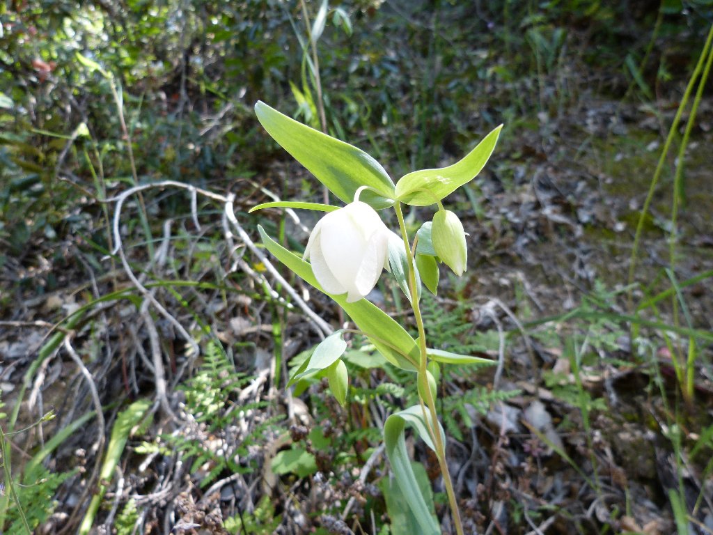
Fairy Lantern
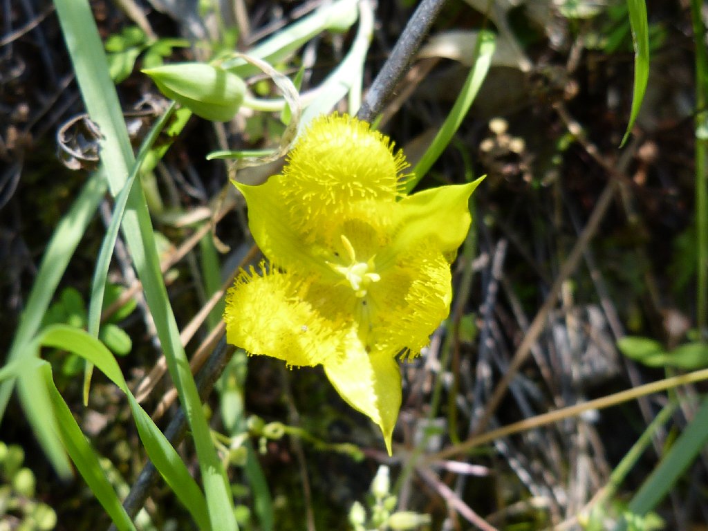
Yellow Star Tulip
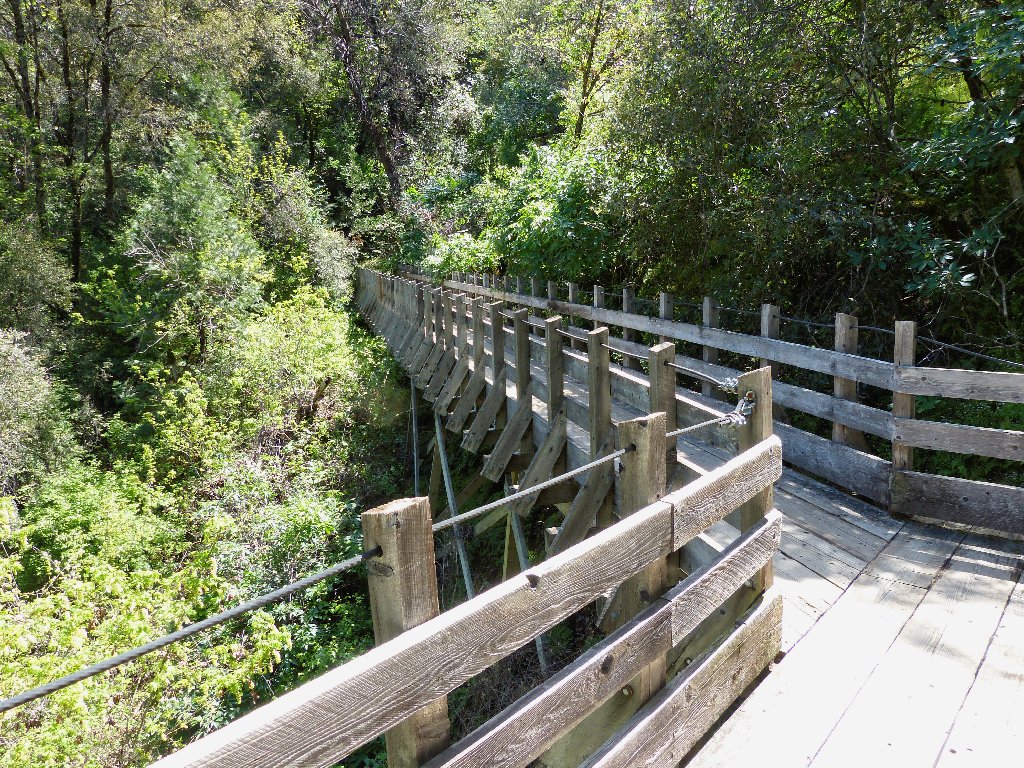
The strong wooden walkways formerly supported water pipes for the mine. This facility ran all the way down to what is now the Lake Wildwood area, many miles to the west.
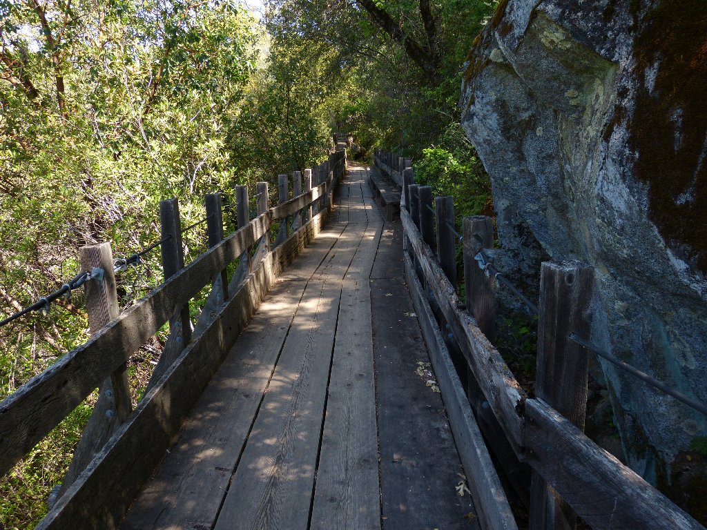
Boardwalks are fun
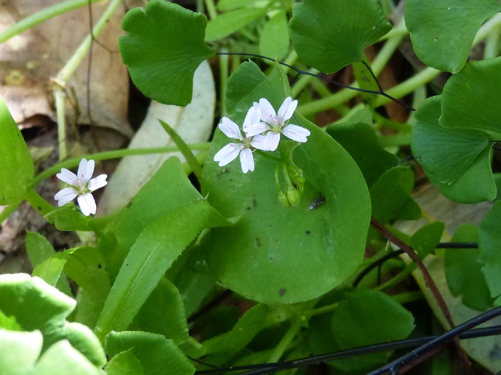
Miner's Lettuce
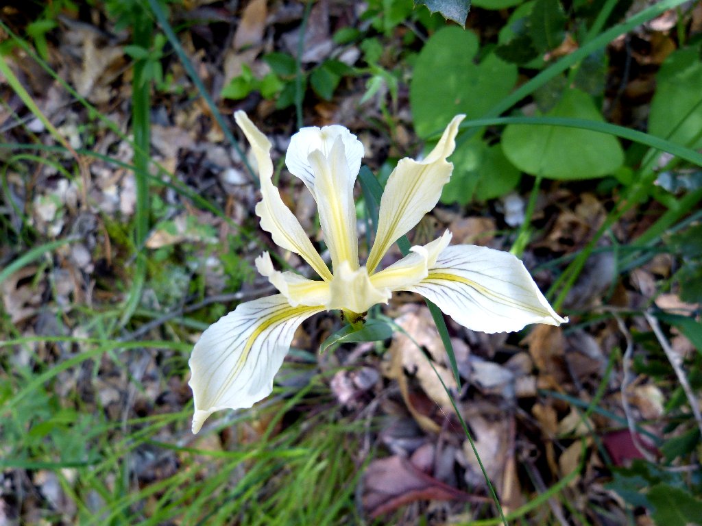
Hartweg's Iris
Although it has been out of sight, I have been parallelling the roadway for nearly a mile.
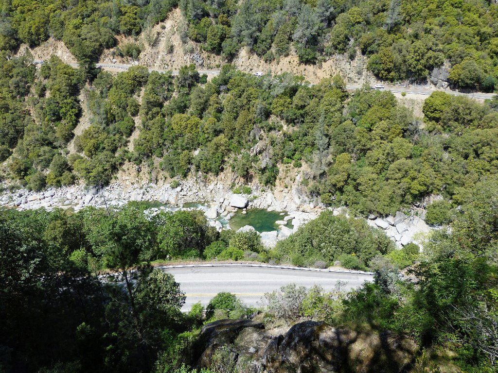
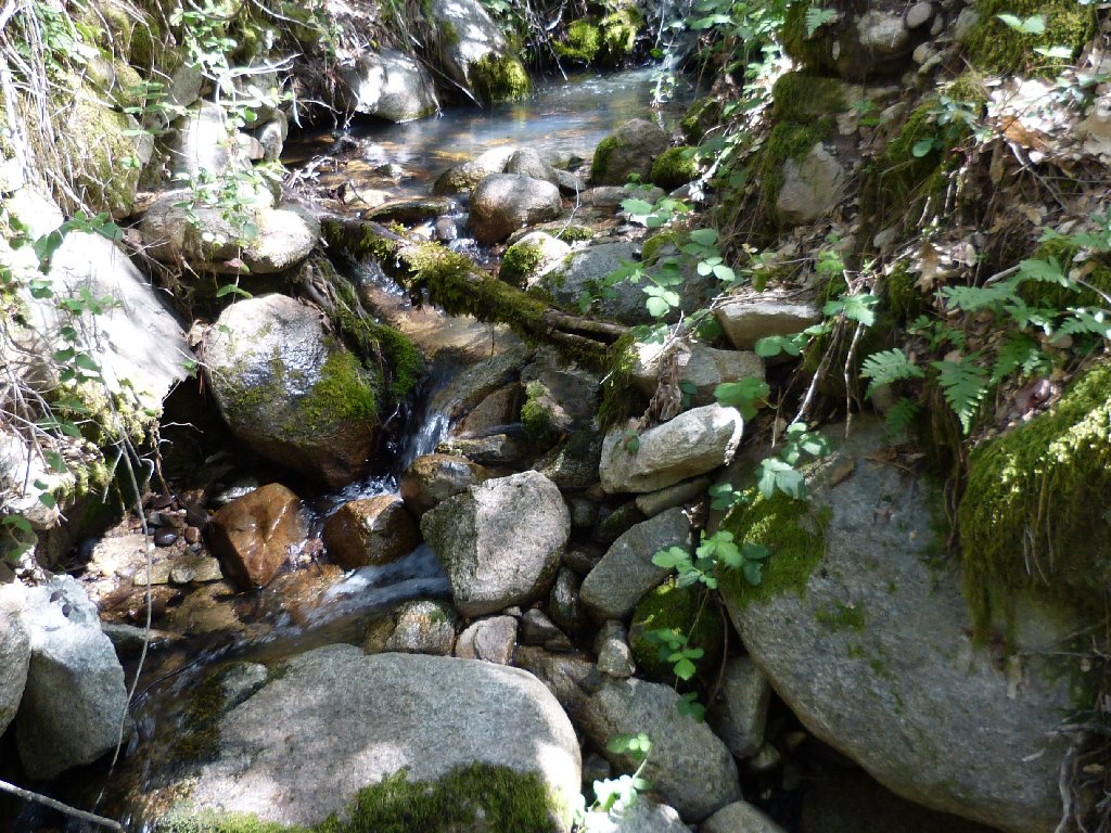
The park's namesake waterway is not doing very well
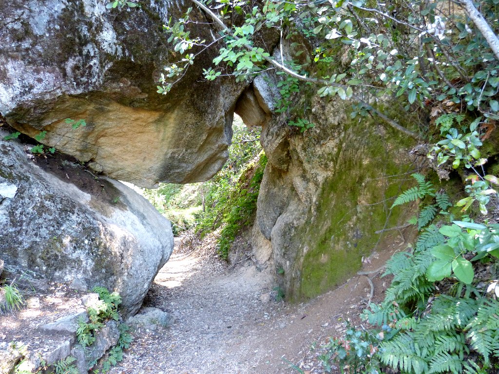
Arch Rock
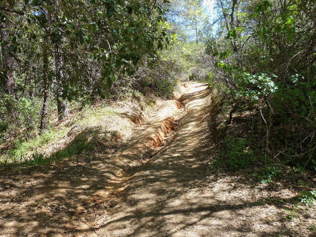
Interesting path
That opening, formed by a fallen boulder, does not qualify as an real arch; but that's the name on the maps.
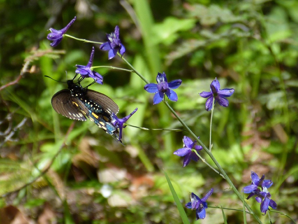
Pipevine Swallowtails are partial to Larkspur
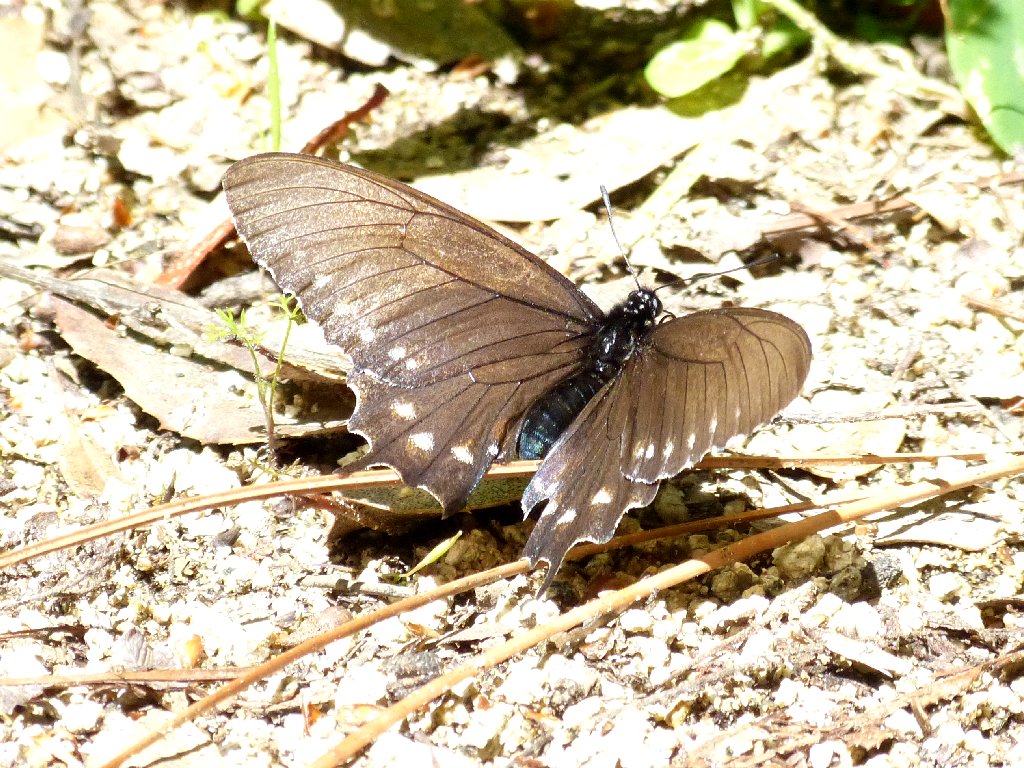
That guy is not as colorful on top
A picnic table has been set up beside a little spring that is disgorging a surprising amount of water, considering the drought conditions around here.
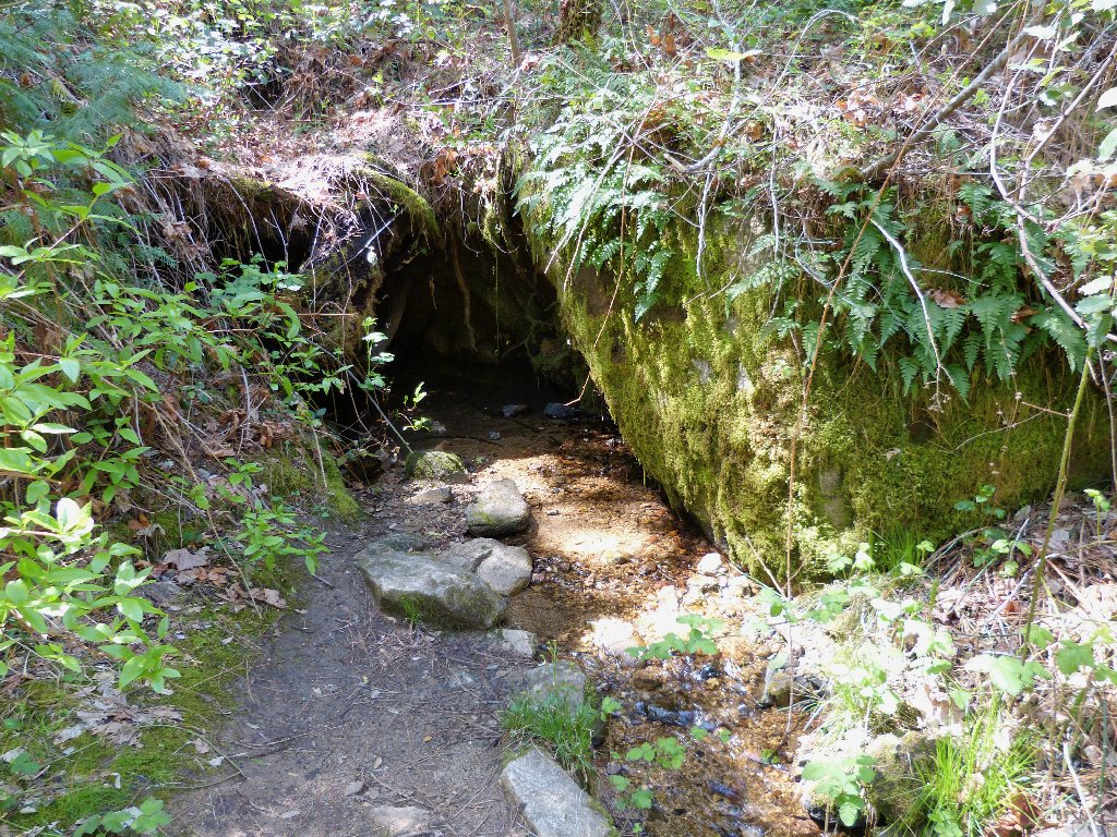
An active spring
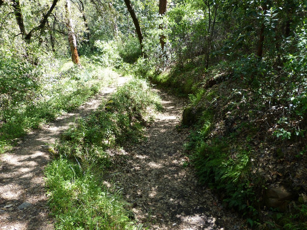
After just two miles, the wheelchair route ends at a former service road that has become impassible by anything but a motorbike. A more primitive path continues for another quarter of a mile before petering out, but I will call it quits here.
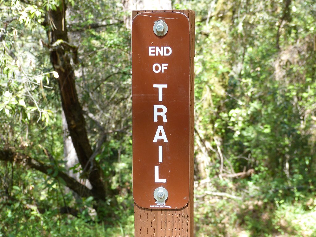
I won't bother to explore further
It is the same scenery on the return.
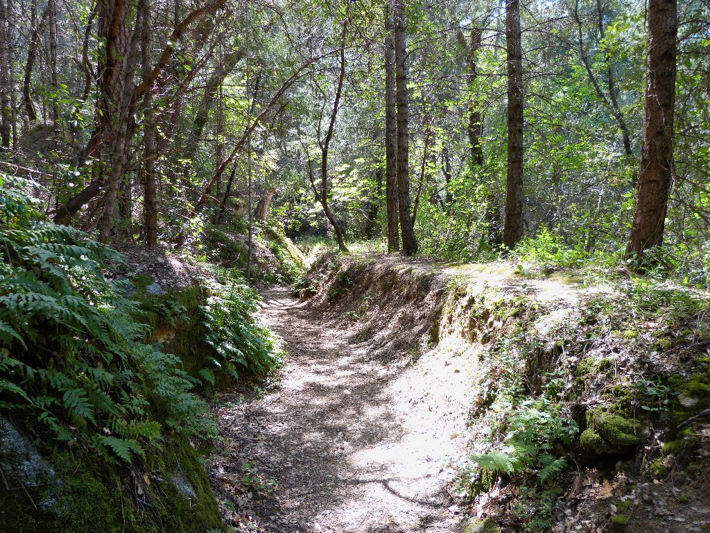
Pleasant going
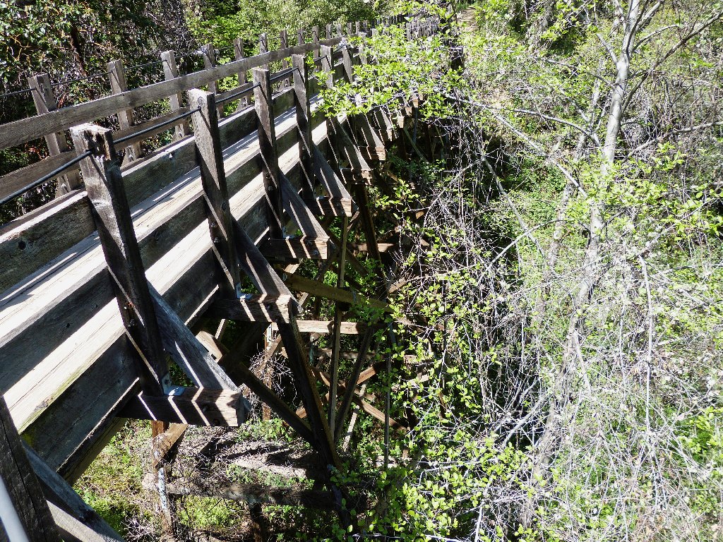
Built like a railroad trestle
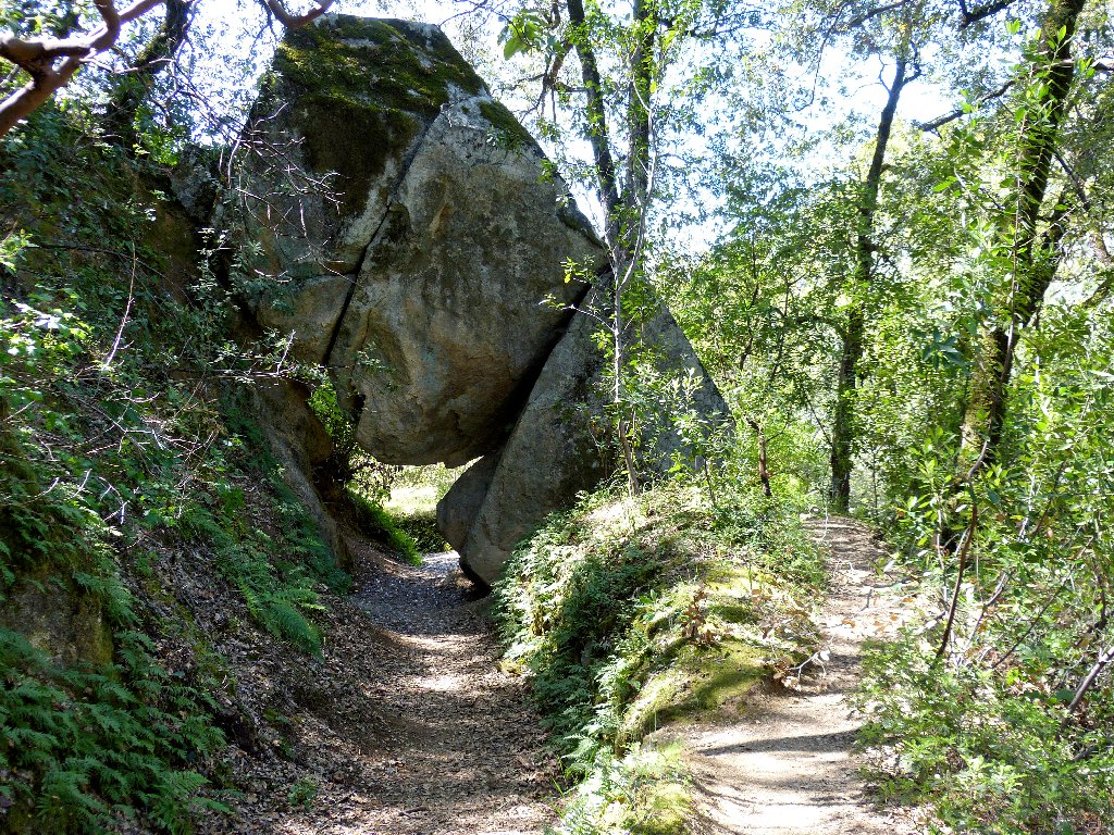
Arch Rock reappears
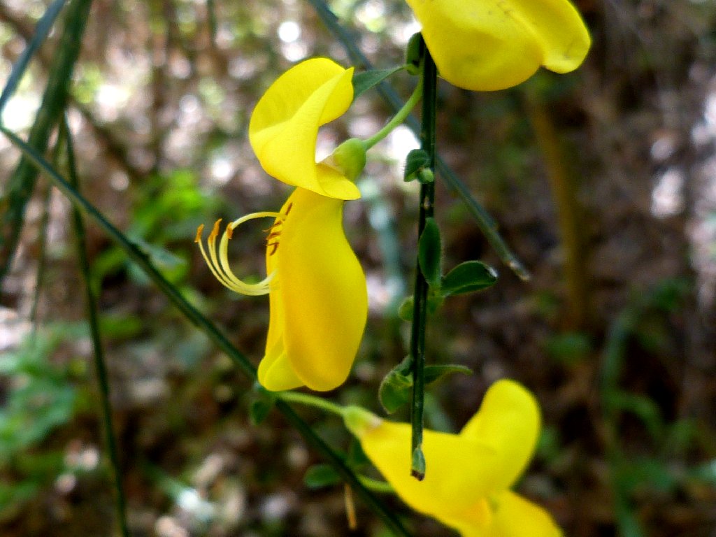
Scotch Broom
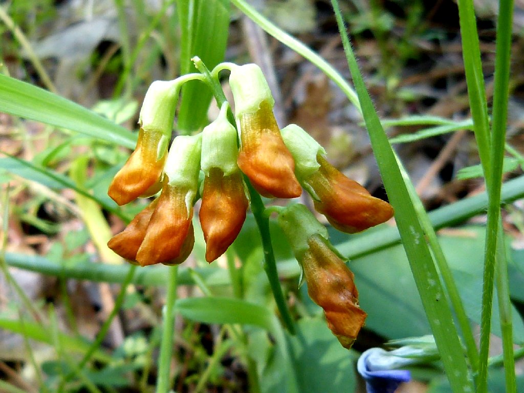
Snub Pea
Near the end of the walk I can see Highway 49 meandering up the hillside.
Back in the 1970s I would cross the old bridge on my Honda 750, then goose it up
that hill with an acceleration beyond the capability of any car. Sometimes,
I would elect to wait at the bridge for the traffic ahead to clear; and sometimes
I simply would pass cars willy-nilly on the way up through the gentle
curves at full throttle, usually with my bride in tow. Our favorite
skinny-dipping hole awaited us twelve miles up the road.
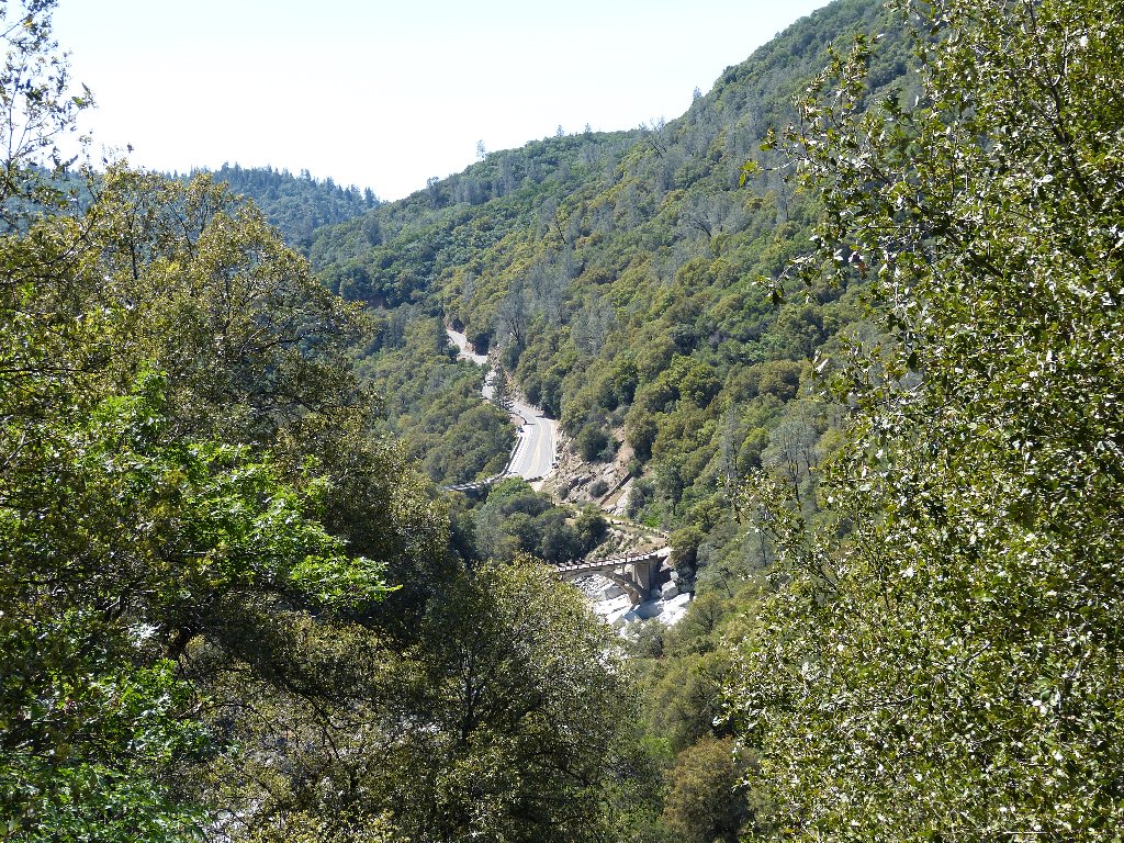
A good place to ride a motorcycle
§: An anticipated, this was pleasant but unexciting.
The interesting wooden walkway never would have been constructed anew just
for a little trail, so the old structures have been put to good use.
Another section of the Independence Trail heads in the other direction from
the roadway. Stay tuned.
| Scenery |  |
| Difficulty |  |
| Flowers |  |
| Solitude |  |