Ansel Adams Wilderness
|
Dana Plateau attempt Ansel Adams Wilderness |
July 23, 2014
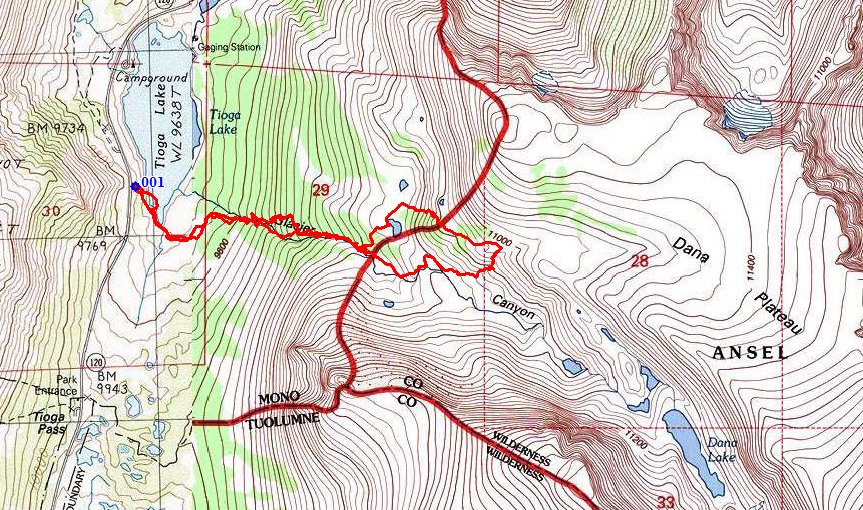
For my first trip of the year to the High Sierra, I will try for the Dana
Plateau — a big flat area atop the cliffs that line the Tioga Road
out of Lee Vining. There should be some wonderful views from that high place.
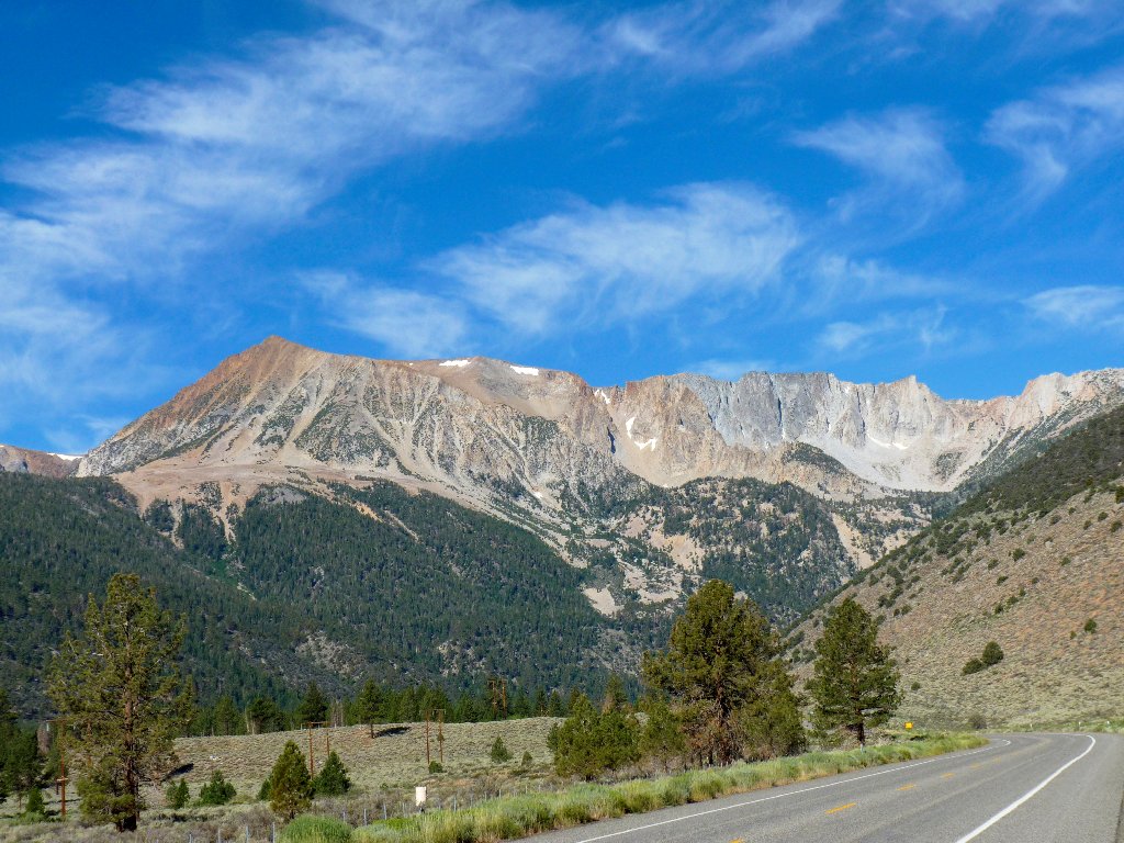
Tioga Pass is spectacular, as always
The trek begins near the southern end of Tioga Lake, near the Yosemite Park entrance station.
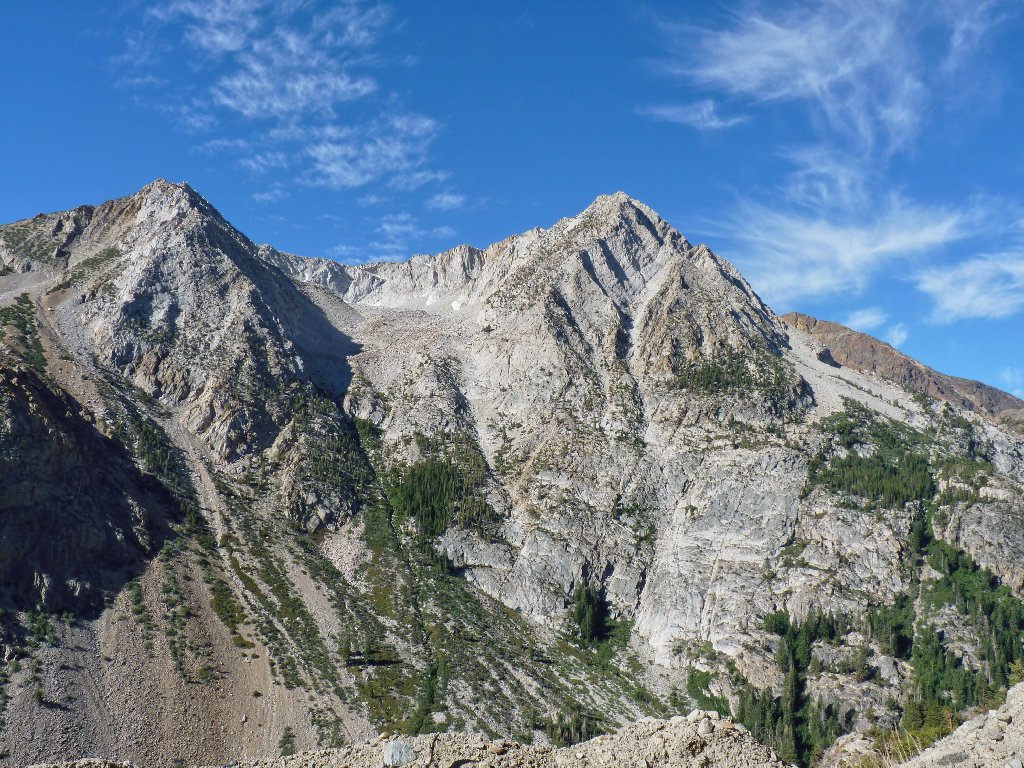
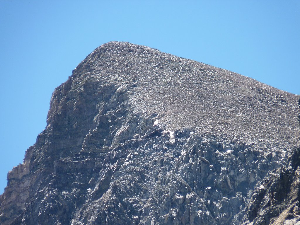
Unnamed formation behind Tioga Lake
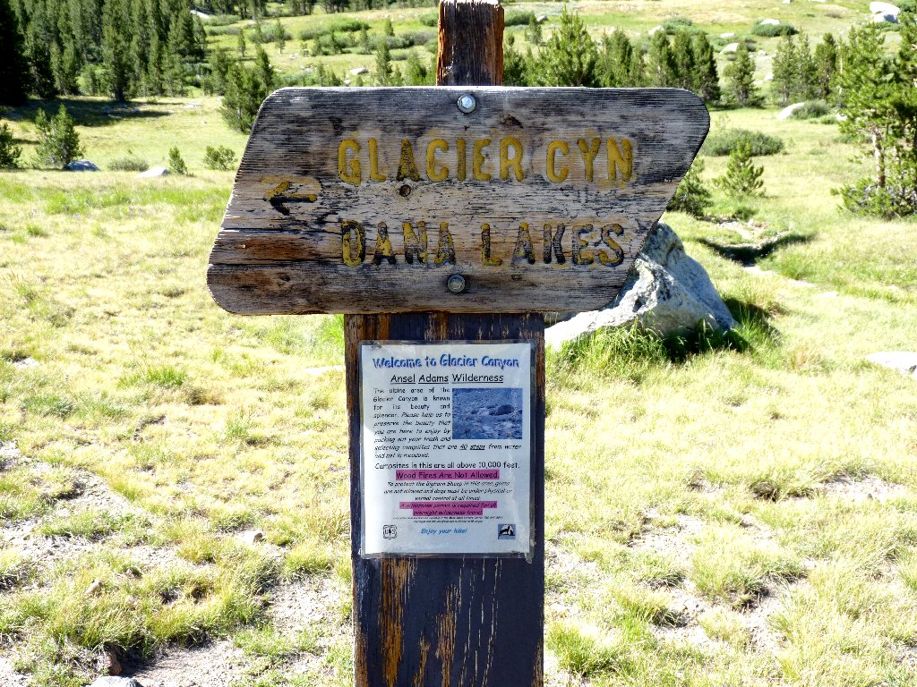
Although there is no official trail into the Glacier Canyon area, a dilapidated sign points the way to the Dana Lakes, which are in the canyon. Within the first mile I manage to veer off the trail, and end up switchbacking up the hillside where possibly no man has gone before; but within ten minutes I am back on the right track, which never left the side of the creek.
They could do better than this
I could have done better than this
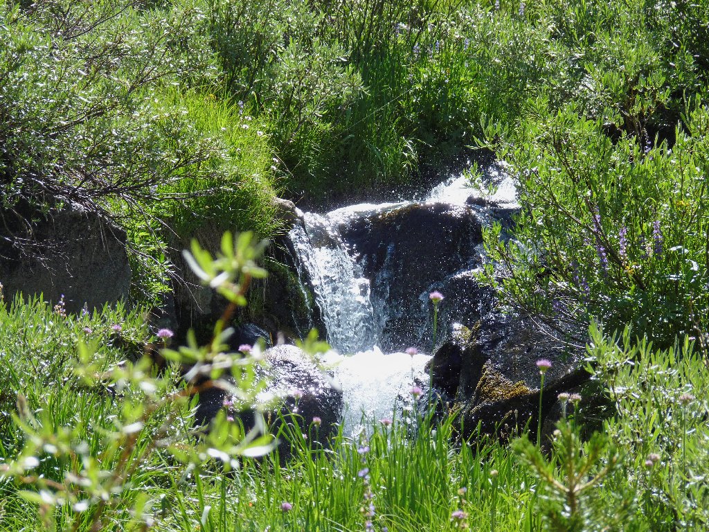
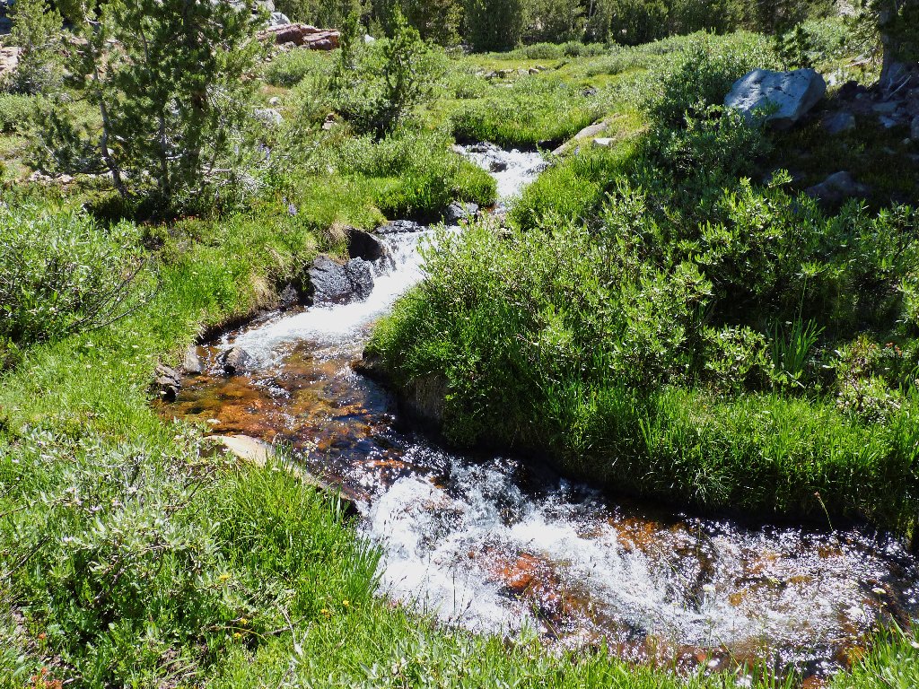
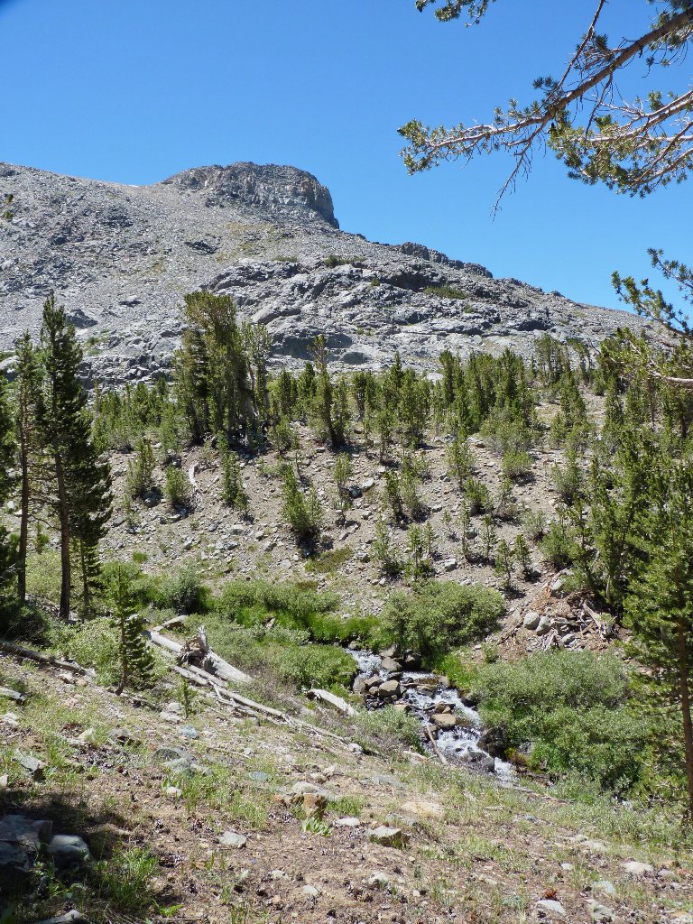
Walking alongside rushing water always is a pleasure. This stream is fed by the Dana Glacier at the top of the canyon.
I always know what to do with these — photograph them!
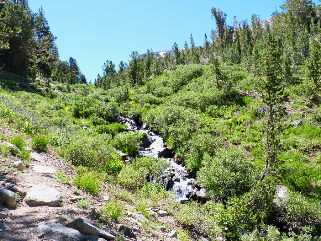
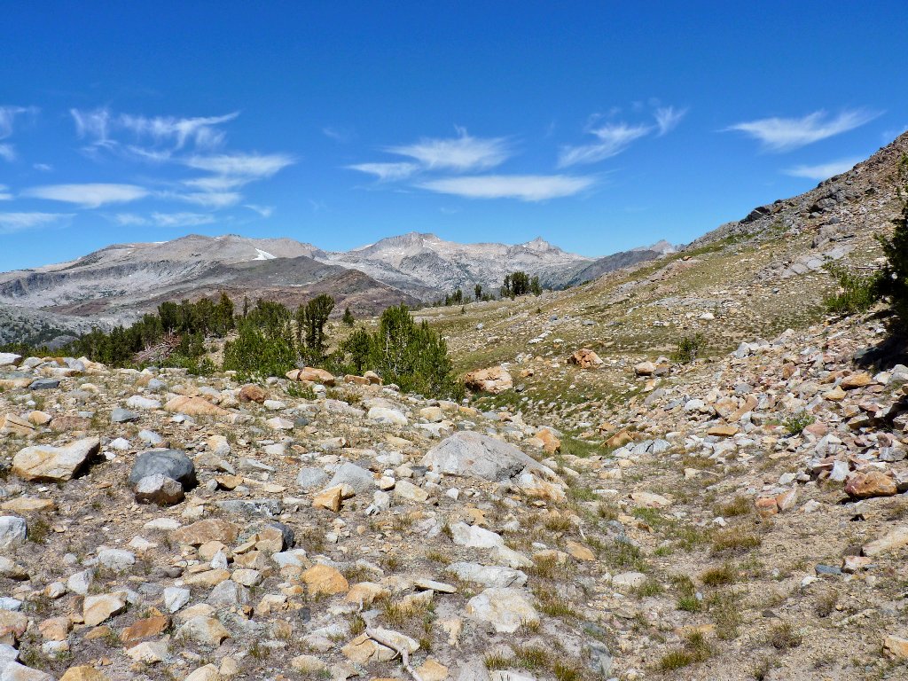
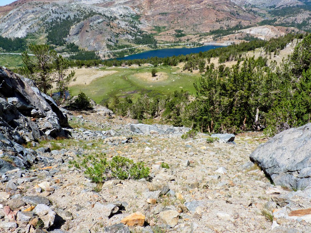
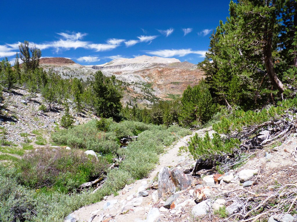
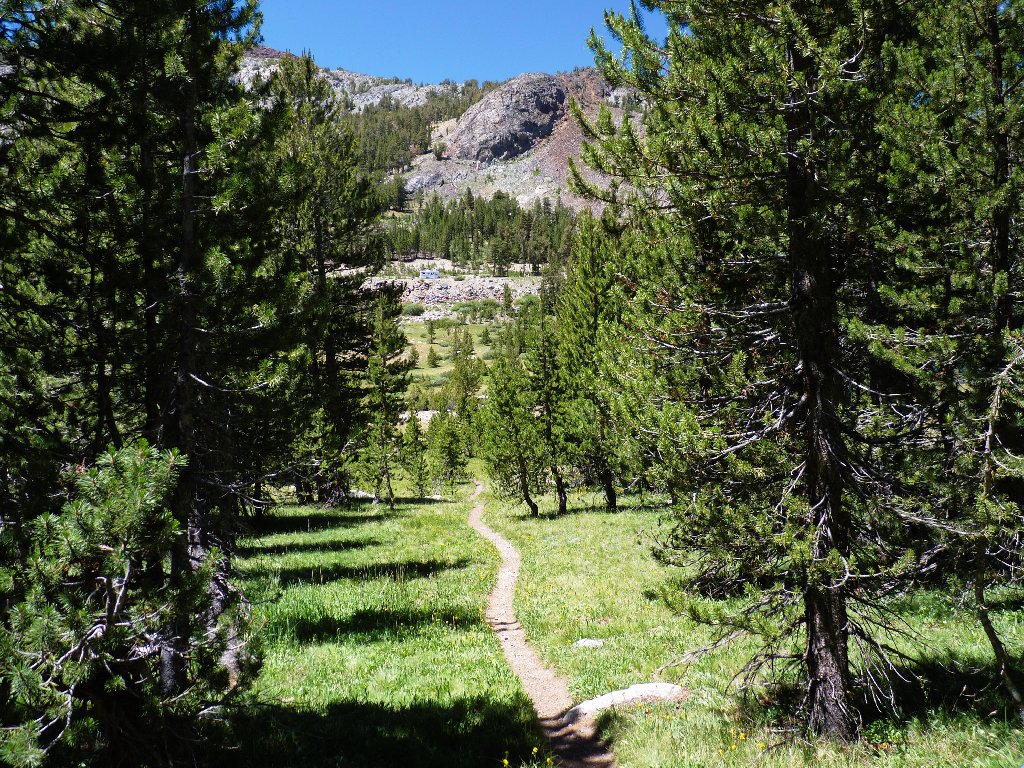
At the top of a fairly steep climb through the forest is a meadow that remains pretty damp for this time of year.

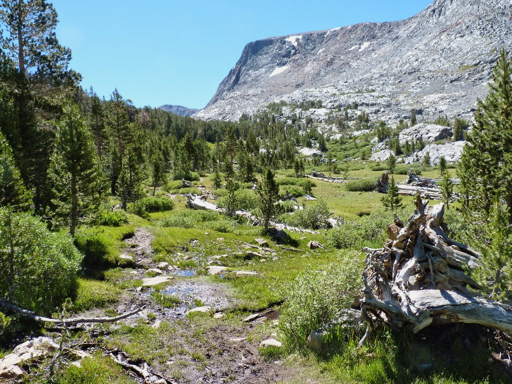
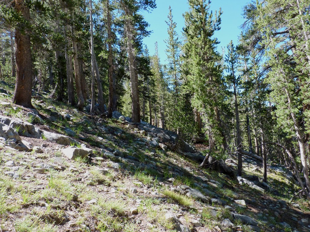
Entering Glacier Canyon
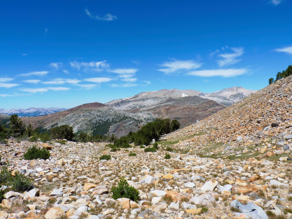
Heidi-Land
White Mountain, Mount Conness, and North Peak
I know that at some point I must leave the meadow and start climbing. What I did not anticipate was how difficult this route is going to be.
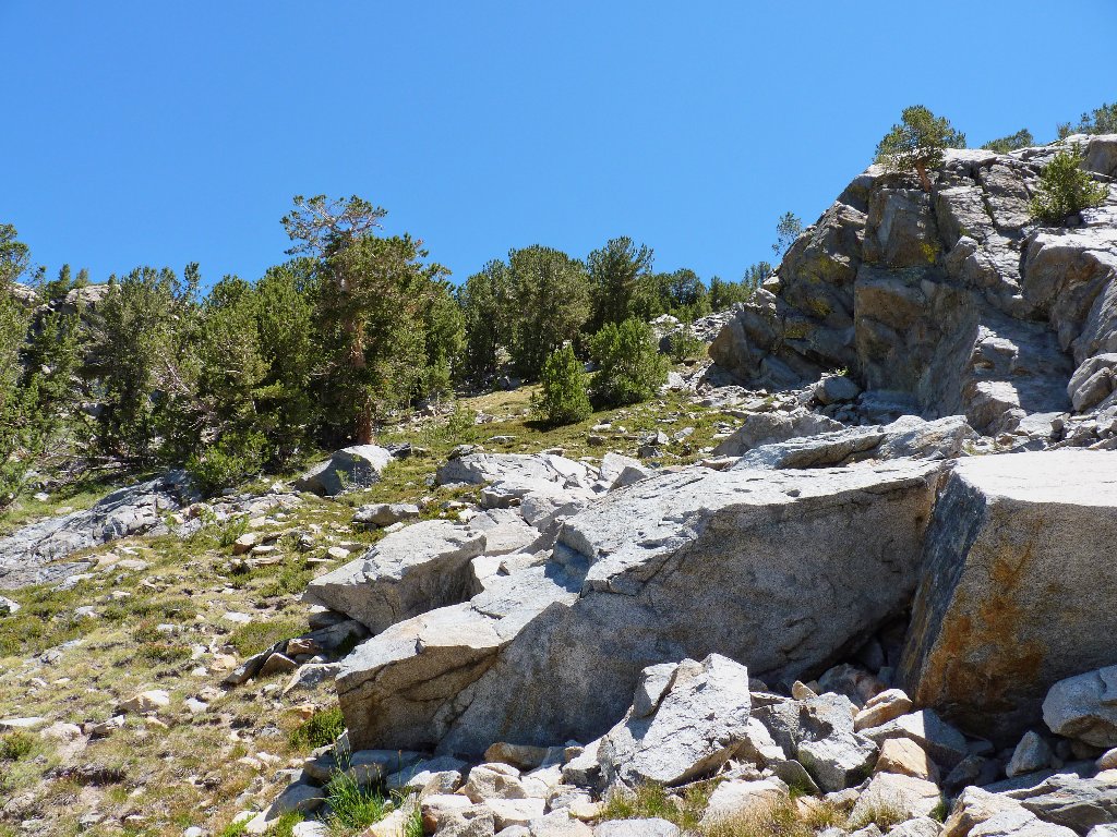
The rock pile awaits me
Around the corner, the faint path becomes steeper and rougher. After a couple hundred feet, semblances of a trail provide easier footing while going up; but this steep, slippery sand is going to be murder on the return. In order to avoid any chance of a fall, I might have to abandon the 'trail' and remain on the rocks. Ugh.
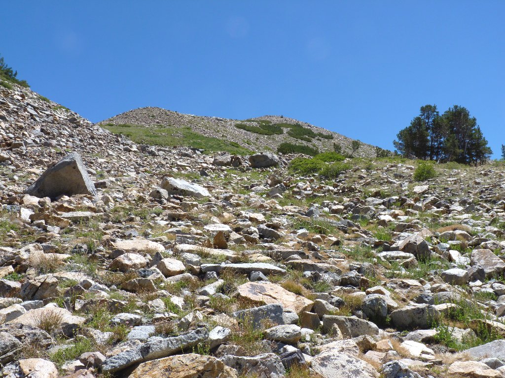
One cannot see all of those little stones on Google Earth
My multiple rest stops do provide opportunities for photographing flowers and nearby features.
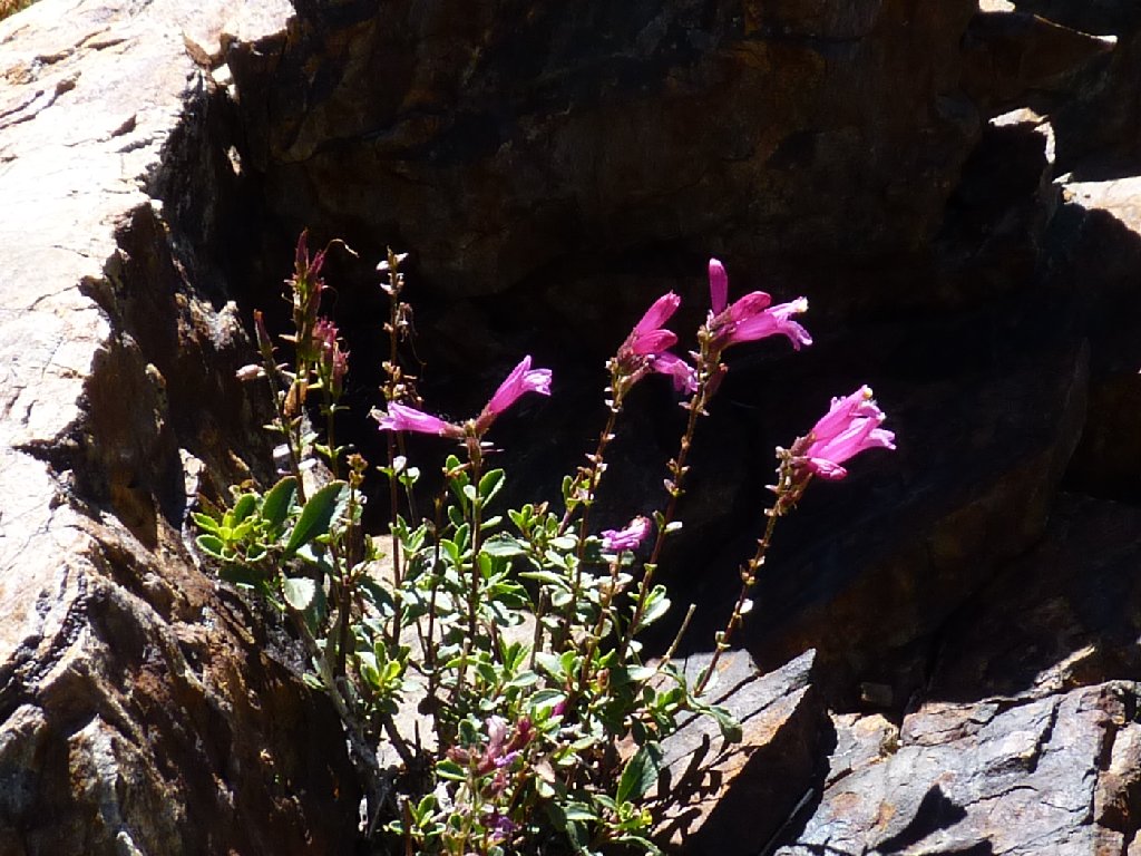
Mountain Pride
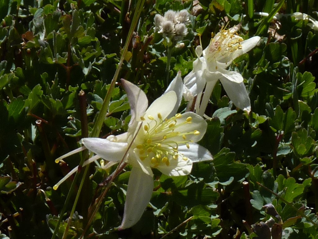
Coville's Columbine
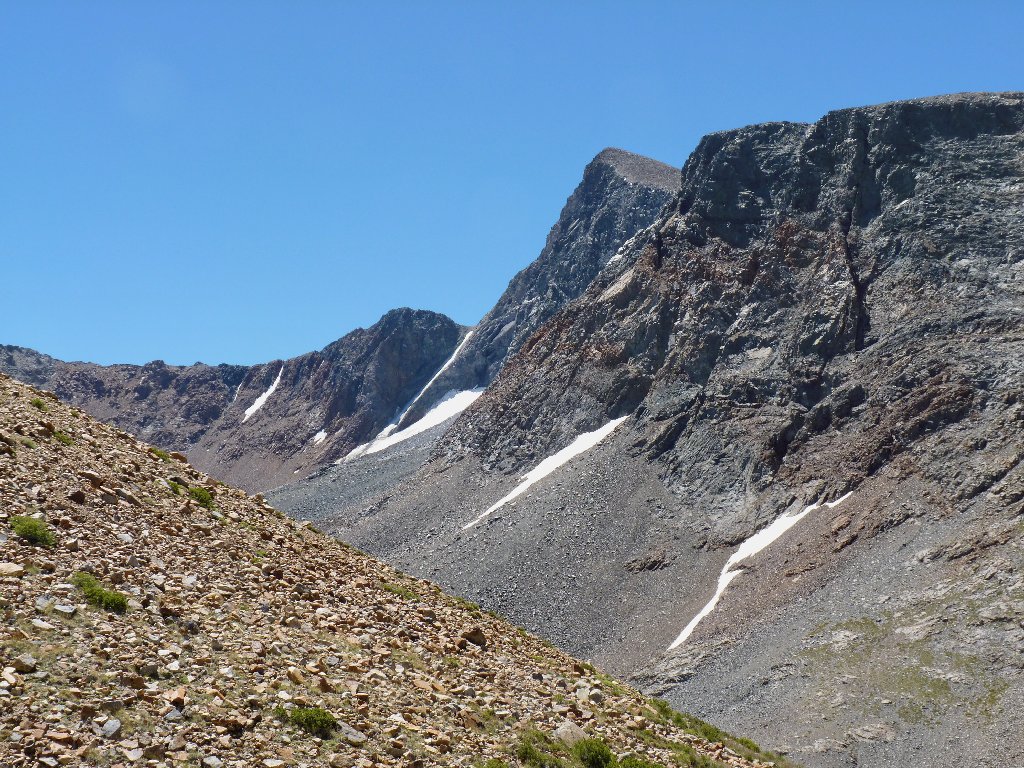
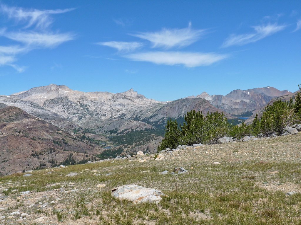
Mount Dana, second highest in Yosemite, has no visitors as yet today
Finally, just a couple hundred vertical feet from where the landscape should level
out somewhat, I take stock. In terms of both distance and elevation gain, I am
only half-way to the high-point at the eastern end of the plateau.
Do I really want to endure another thousand feet of this, both up and down?
After much agonizing, I decide to turn back, mostly because of my sub-par
physical condition. To my left is a more congenial route that might provide
an easier way down the hill; in any case, it hardly could be worse.
The route back down is steeper than it looks
This way looks much more pleasant
The only issue is whether it can be done at all. If there really is a way, then why aren't others using it? I must go over to the edge of the cliff and find out, however.
I still can't tell
Voila! Ahead is a very steep but negotiable channel down the hillside. Some of the slope even has clumps of grass which provide good footing. I am feeling much better about this outing now.
It's only 300 feet down to the meadow!
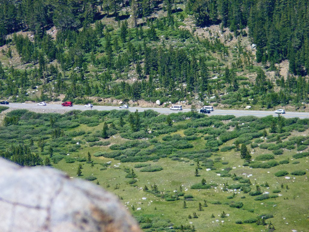
There is a long waiting-line at the park entrance
These two photos make the route look easier than it was:
Looking back
Looking ahead
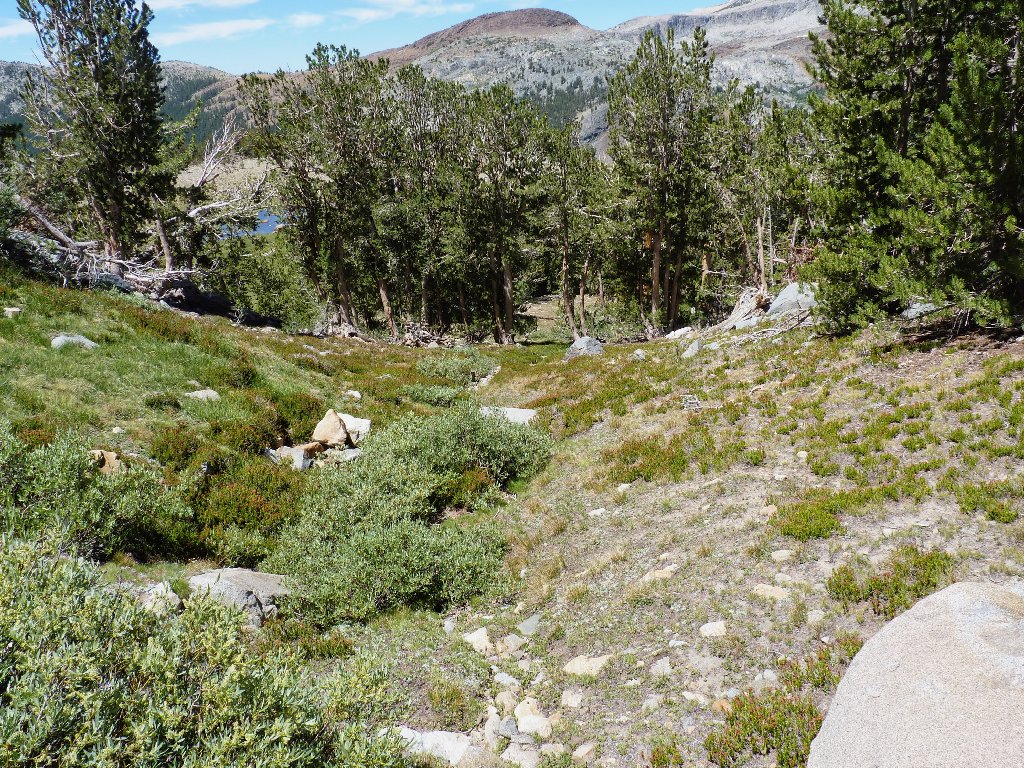
Near the bottom of the hill I spot a little unnamed tarn that must be checked out, of course.
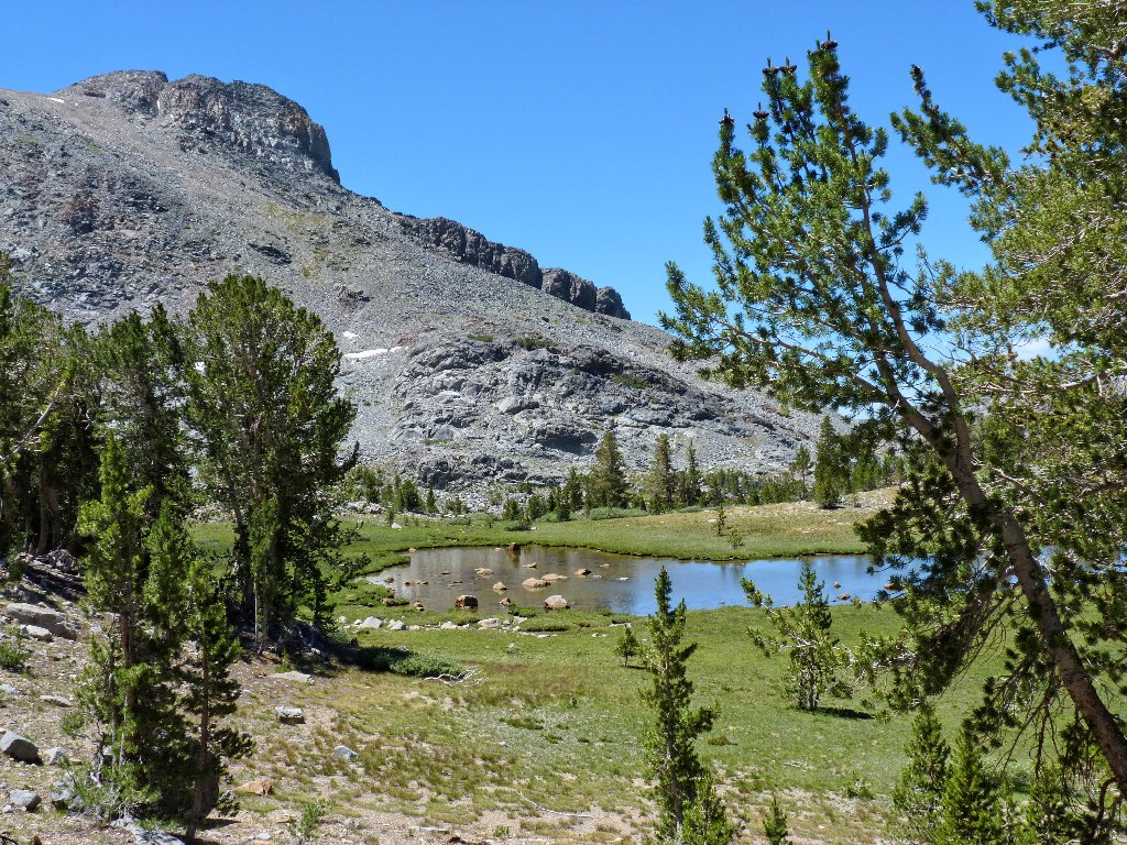
This place is wonderful! Being only a foot deep, one can see all the details of the lake bottom.
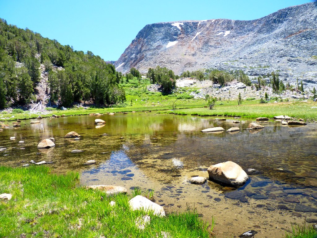
This is why I go hiking
Had I not opted for a different route, I never would have found this exquisite spot. Serendipity.
Dana Plateau is up there
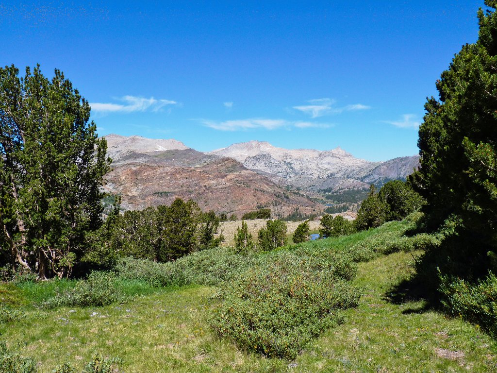
I still am nine hundred feet above the big lake. I probably could continue westward easily enough, but for some reason I head south back toward the creek and the established trail.
It's lunch time beside Glacier Canyon Creek
Back on the trail
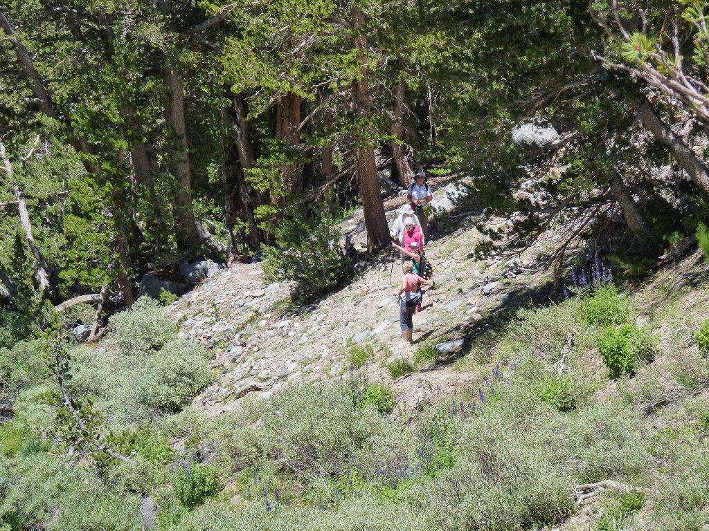
The only hikers I have seen
Having learned where I have been, one of the hikers says that Glacier Canyon probably still is a swamp up higher, and that I might not have been able to reach the Dana Lakes even had that been my intention. In actuality, I had planned to view them from far above, without getting my feet wet.
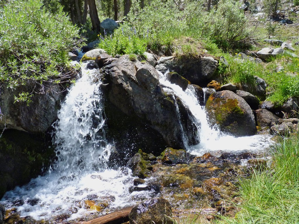
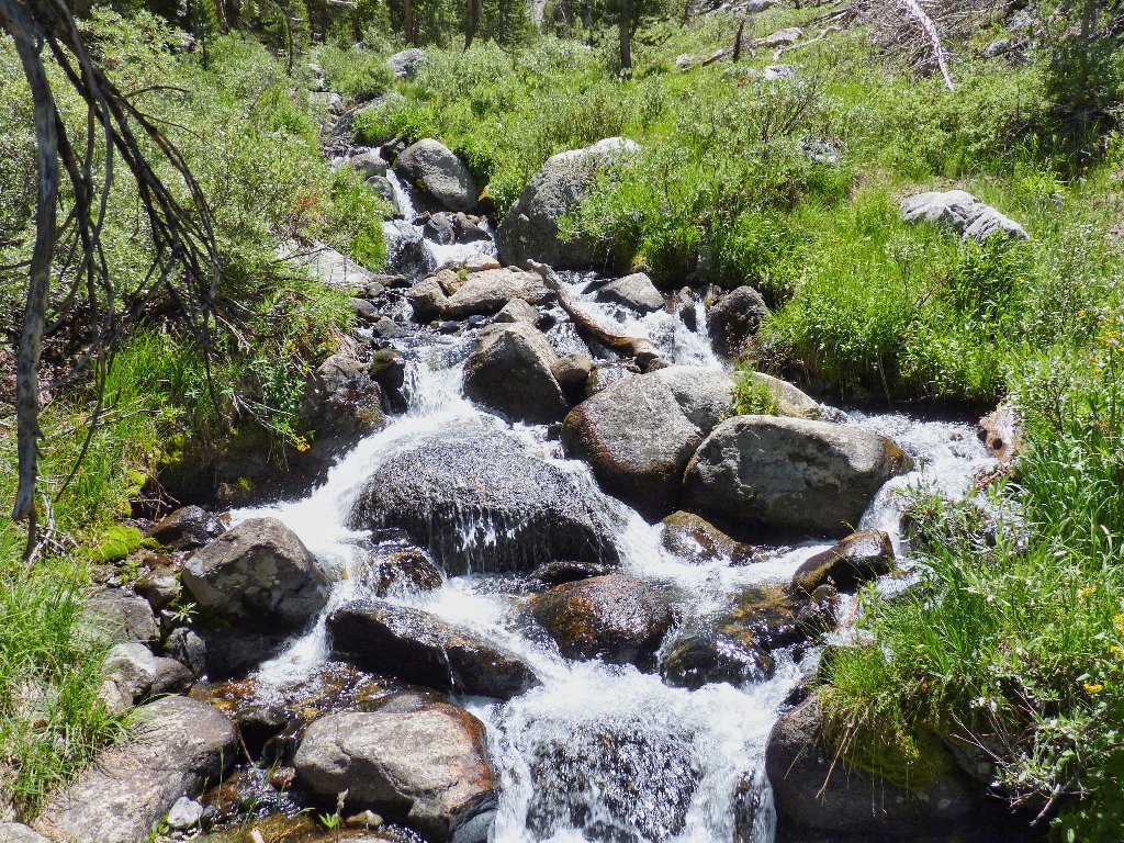
Glacier Canyon Creek
From here it is just a matter of retracing my steps.
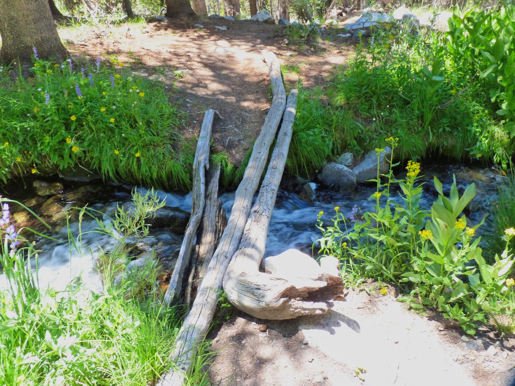
A tricky crossing
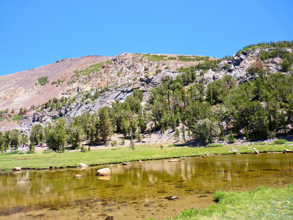
Almost to the big lake
Although the reappearance of Tioga Lake is a welcome sight, the last portion
of the trail is a tiring 80-foot climb to the car.
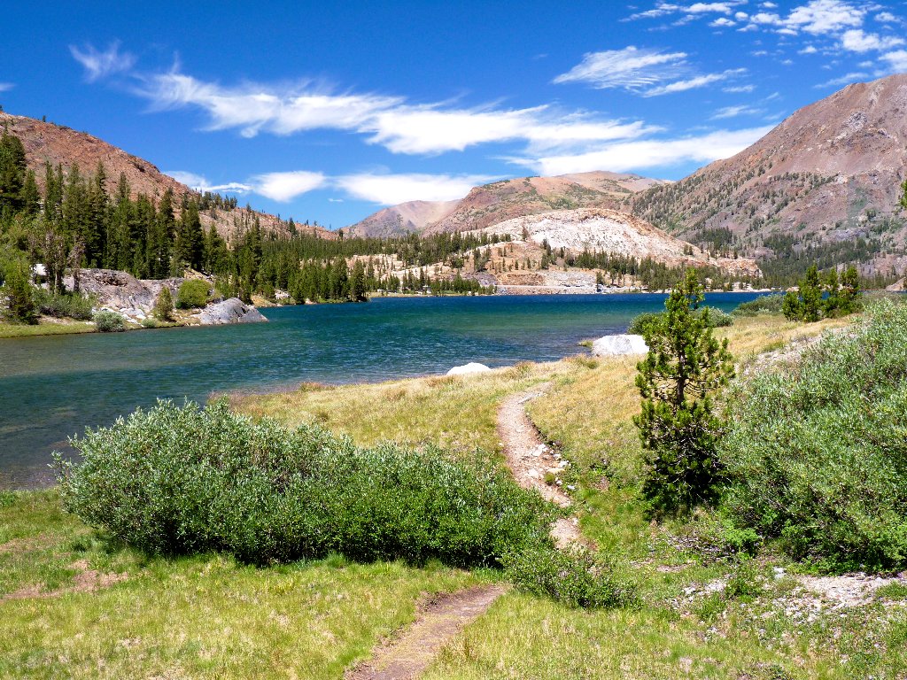
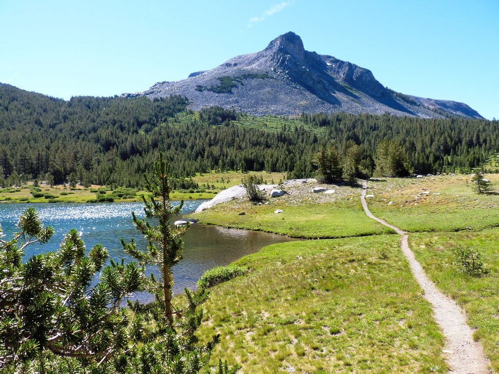
Tioga Lake and Tioga Peak
§: Well, I missed out on a ton of photo-ops today, including the Dana
Glacier and its attendant Dana Lakes, spectacular Kidney Lake, Mono and Ellery Lakes,
and most of the Tioga Pass area. One must do what seems best, however; and
today my heart just wasn't into such a challenging venture in my currently convalescent
state. I should have saved this one for a later time.
For anyone attempting an assault of Dana Plateau, I highly recommend —
at least for the descent — my alternate route behind the beautiful little
tarn, which is a worthwhile destination in itself. On Google Earth that slope
looks really steep, but I didn't find it particularly difficult.
| Scenery |  |
| Difficulty |  |
| Personality |  |
| Adventure | |
| Solitude | |