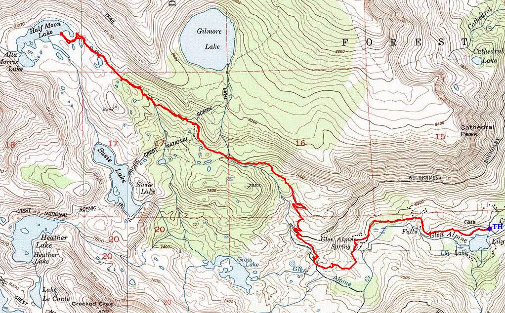
Desolation Wilderness
|
Half Moon Lake Desolation Wilderness |
July 13, 2014
I planned this outing months ago, foolishly assuming that this July's weather
would resemble that of 'normal' years. It rates to be a longer, difficult
trek that only diehards would attempt in weather that is projected to reach
90 degrees; but I will not disappoint my two companions by cancelling the
excursion.
After filling out the requisite permit, we are ready to go. Half a mile up the old Glen Alpine Resort road, we learn that at least some water still is flowing in the area.
Glen Alpine Creek is alive
A Glen Alpine docent passes by in his air-conditioned SUV. Perhaps one of the buildings will be open for viewing later. According to the signpost, the resort still awaits inclusion in the National Historic Register.

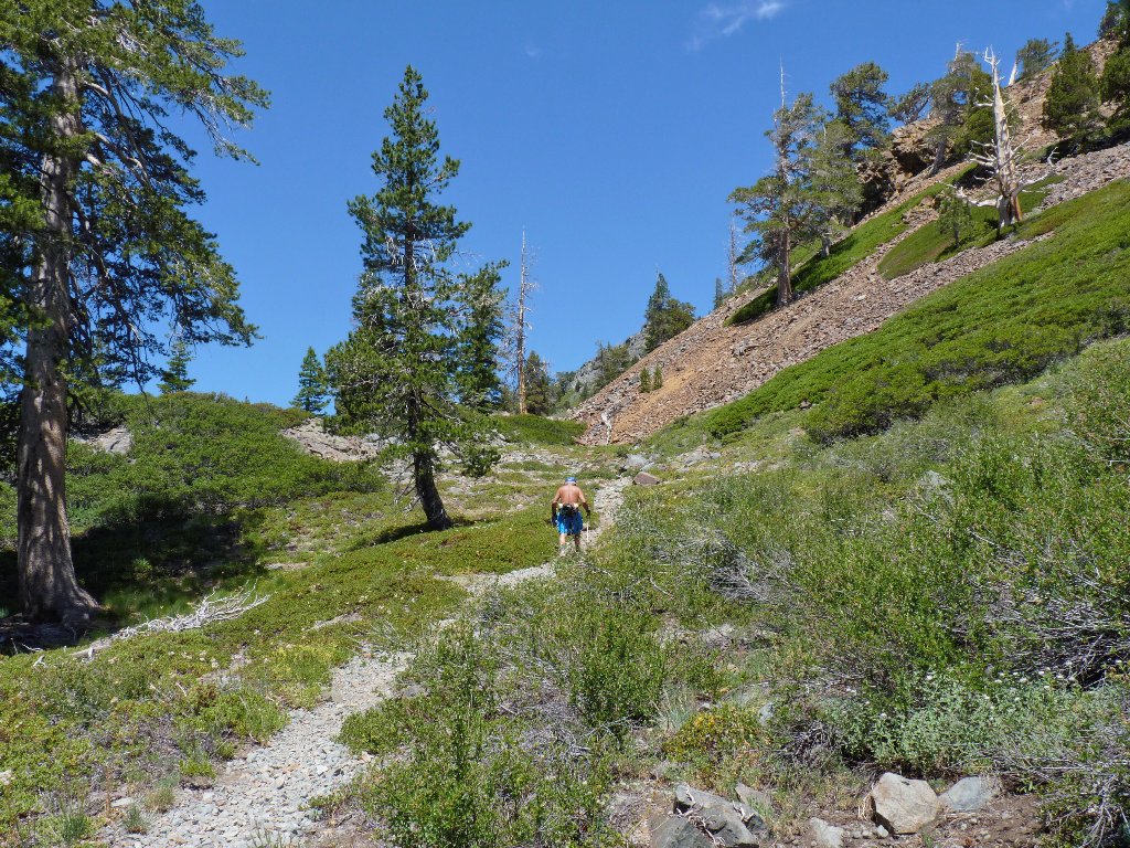
Dave and Ali enter Desolation Wilderness proper.
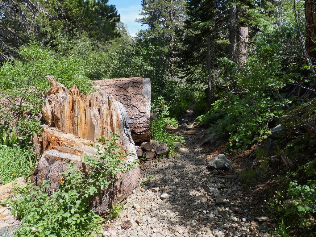
Already I am being reminded of how rough this area's trails can be.
Desolation is the most densely populated of any American wilderness, and most
of the traffic is on this eastern side due to its proximity to Lake Tahoe.
The Forest Service has been compelled to place a high priority on trail maintenance
time and costs here. The result is routes that will endure, but at the cost
of user-friendliness. There is lots of ankle-twisting gruss,
combined with lots of knee-wrenching big steps.
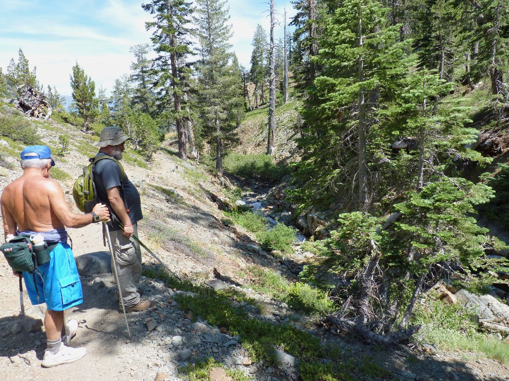
On top of that, Dave is having another of his patented medical anomalies. Today it is a sharp chest pain that seems to manifest itself only when climbing, and today's planned destination is 1,600 feet up. At a trail junction I offer to detour over to Susie Lake, which would save a couple of miles; but Dave is concerned only with altitude gain, not mileage. The map suggests that most of the climbing is behind us, so we continue onto the Pacific Crest Trail.
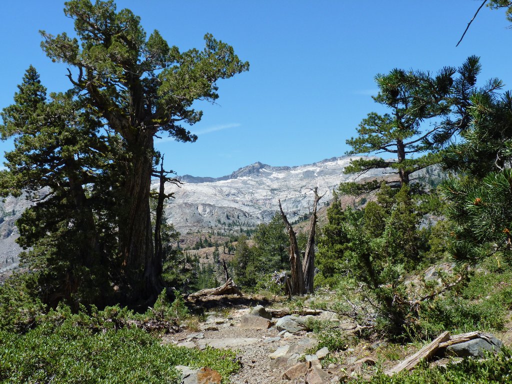
The first real scenery of the day — Mount Agassiz and the Crystal Range
After less than half a mile, we exit the PCT for the final lap.
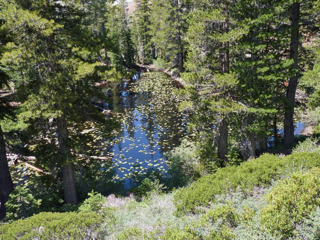
Lily pond
Ali forges ahead, as usual
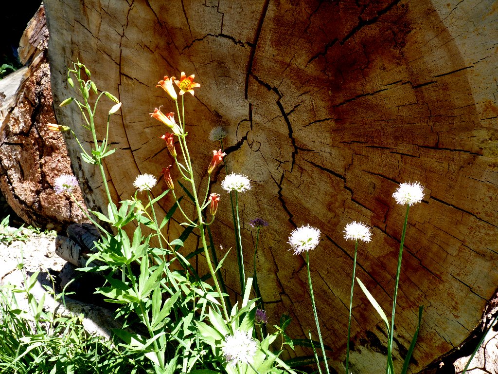
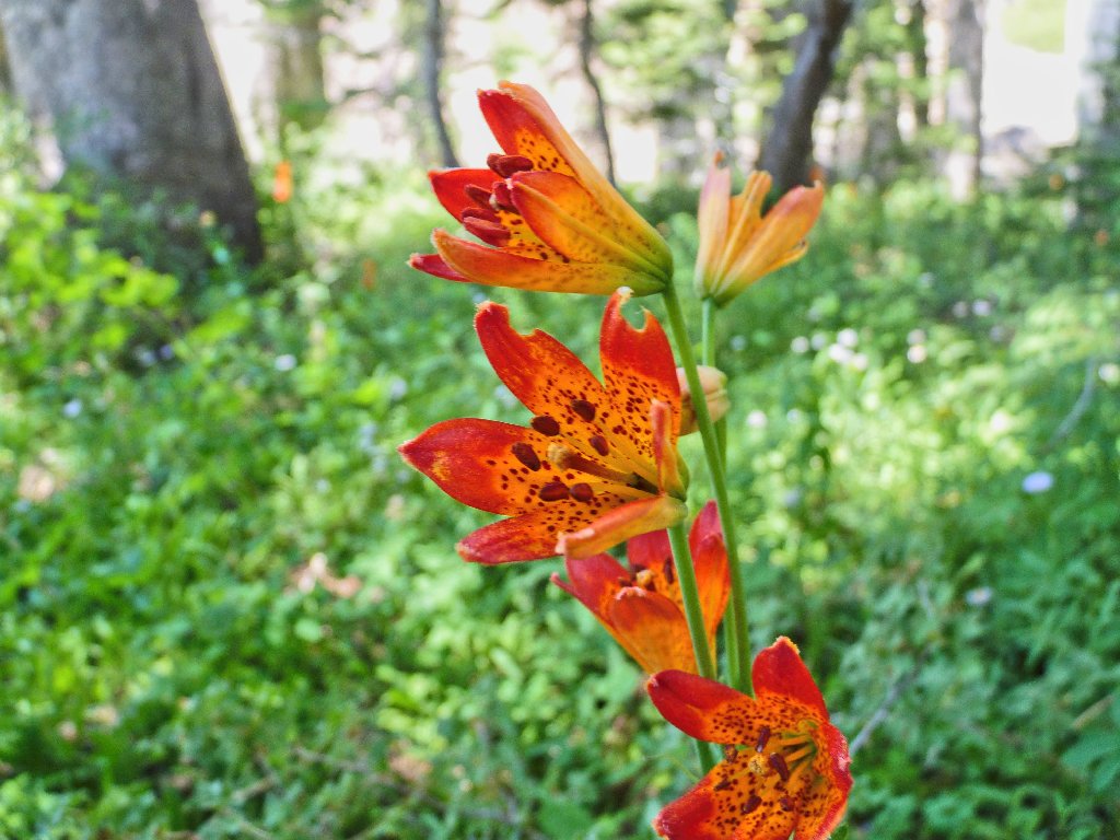
Alpine Lilies are all over the place
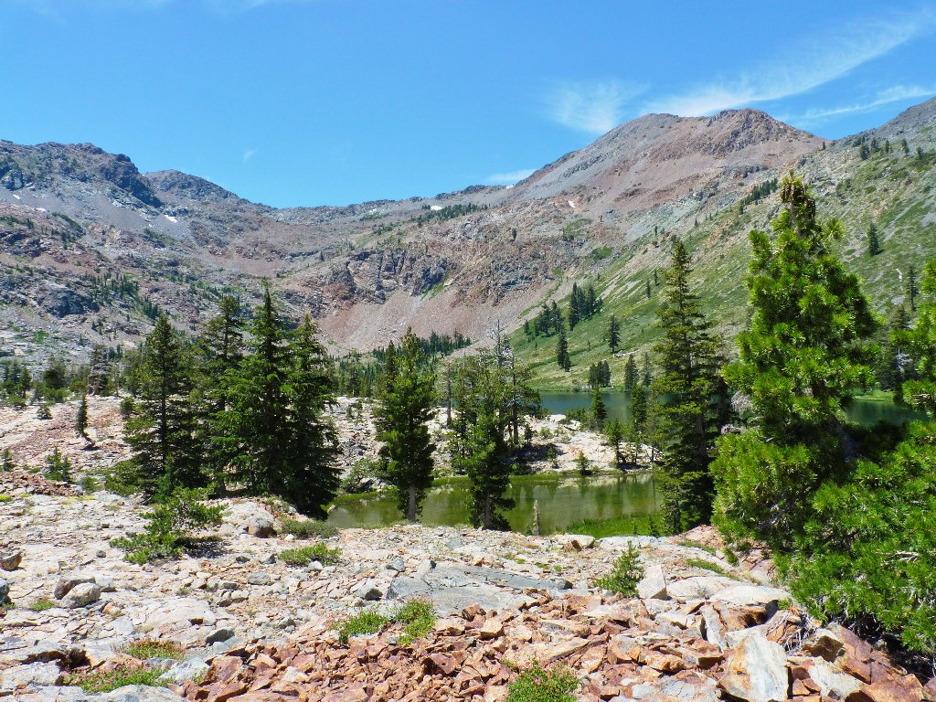
Unnamed pond, with majestic Pyramid Peak in the background
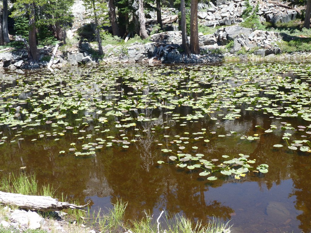
More lily ponds
First view of the destination
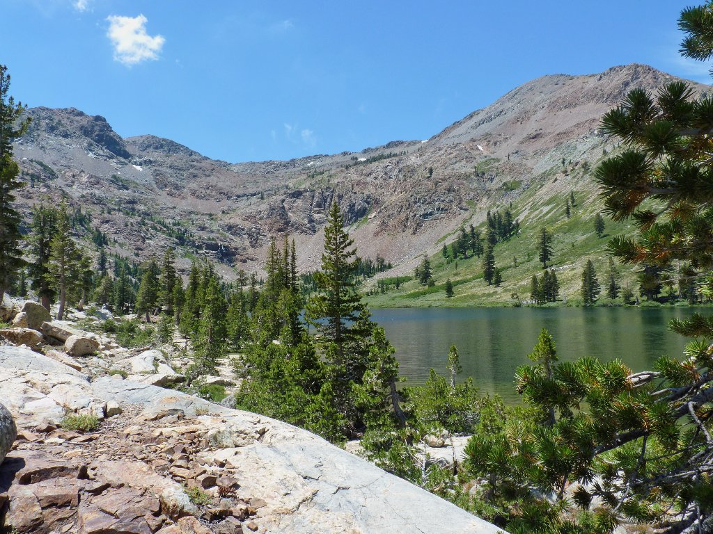
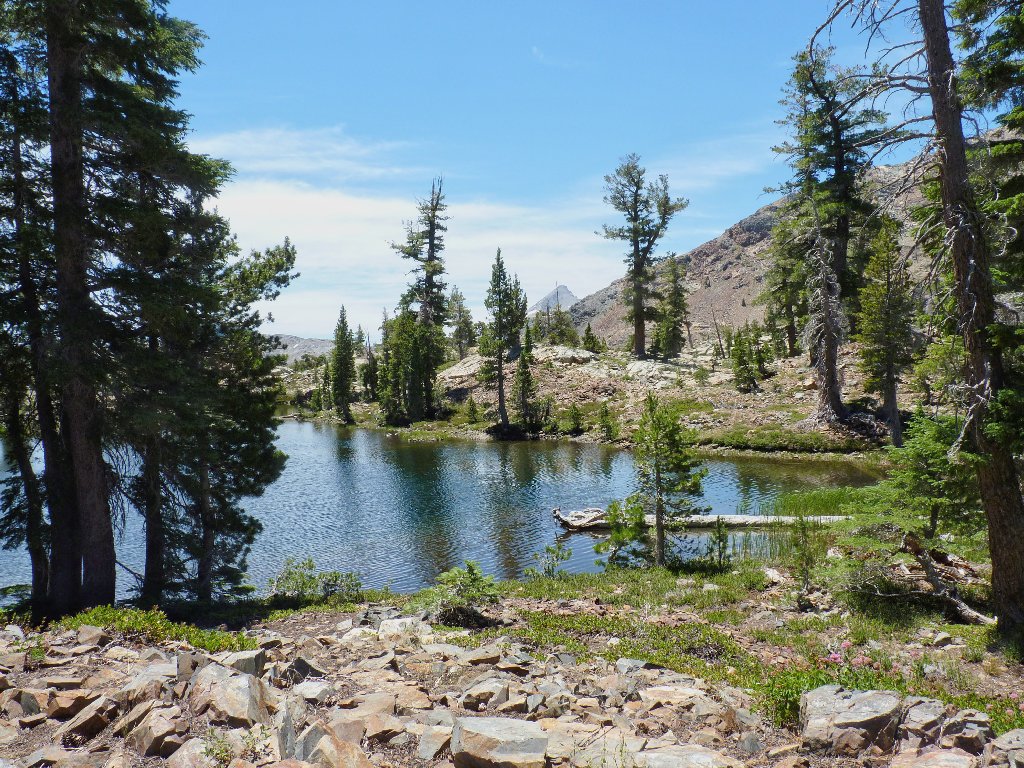
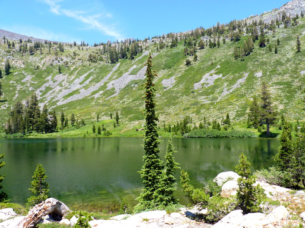
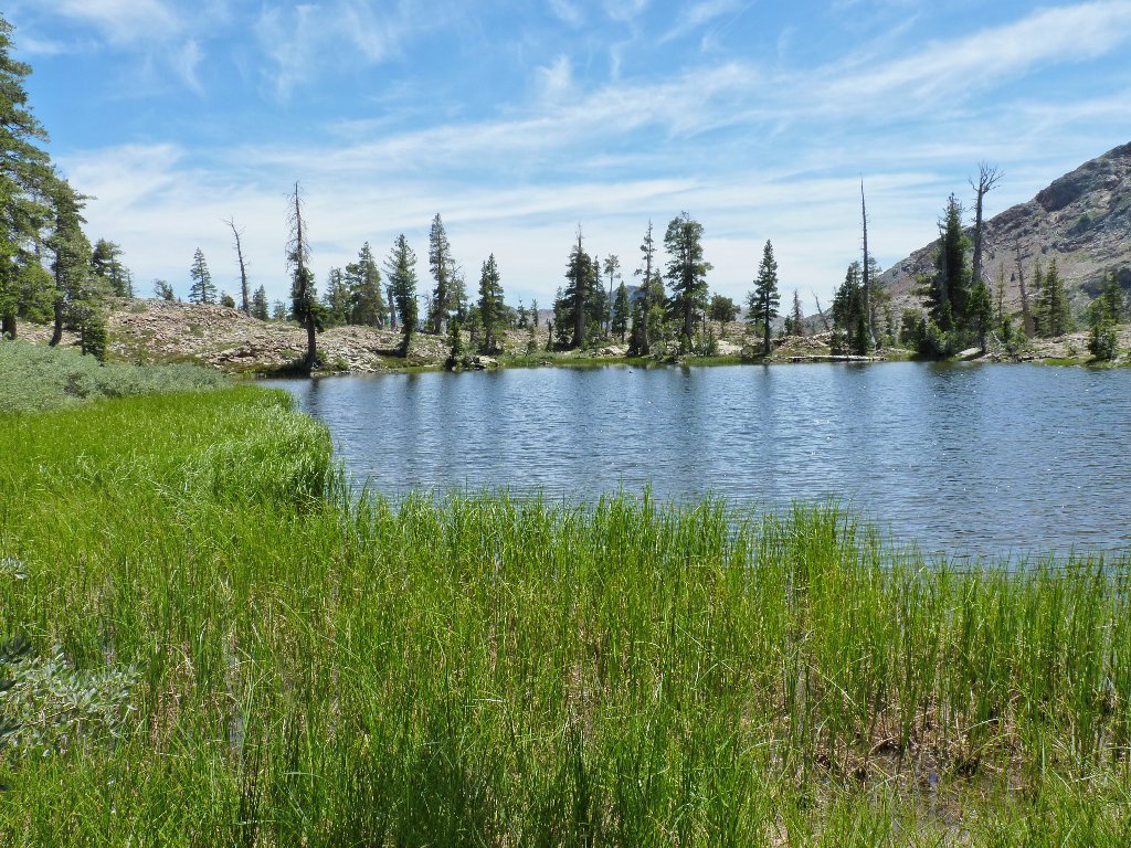
Half Moon Lake, 8140', and Dicks Peak, 9974'
This southern shore of the lake is solid rock, so Dave finds a shady tree to sit under. Alta Morris Lake remains out of sight at the head of the cirque, but no one is anxious to venture the long way up there just for a photograph.
The PCT runs along that ridge top
It is beautiful here, and I wish that I could enjoy it more. After lunch and Dave's nap, the dreaded return lap commences; or at least that's how I feel, because the soles of my feet are burning. These boots were only five miles old at the start; but that should not matter, and I cannot blame them. Additionally, my throat is parched even though I have been drinking water. I also rolled my convalescing sore arm over some rocks. I'm a mess.
The same pond revisited
Since the route is entirely downhill, Dave seems to have no more problems;
I am the slow one now. After nearly three hours of trekking, it finally
is over. The air temperature at the trailhead is 85 degrees, which
could have been worse. At the Camp Richardson Store, we opt to stoke up
with a pair of drinks each for the two-hour drive home.
§: Well, I can cross this one off my bucket list now; but that's about
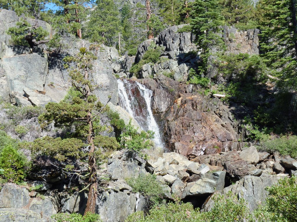
the best I can say for it. As an alternative, nearby Susie Lake is attractive;
and over there one can visit the brink of a beautiful, albeit elusive, waterfall as
well. This hike gets a decent rating only because of the good company.
Once again, I have magically avoided any blisters on my feet; but the soles remain tender. I believe I'll wait a few days before heading out again; it's my Desolation Trail penalty.
| Scenery |  |
| Difficulty |  |
| Solitude |  |