Donner Summit
|
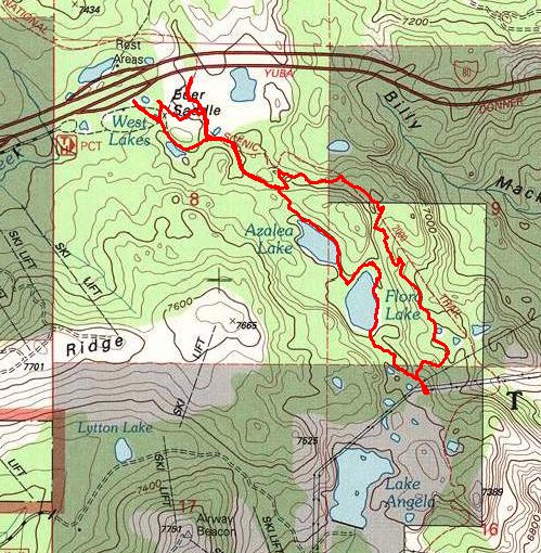
Flora & Azalea Lakes Donner Summit |
June 22, 2014
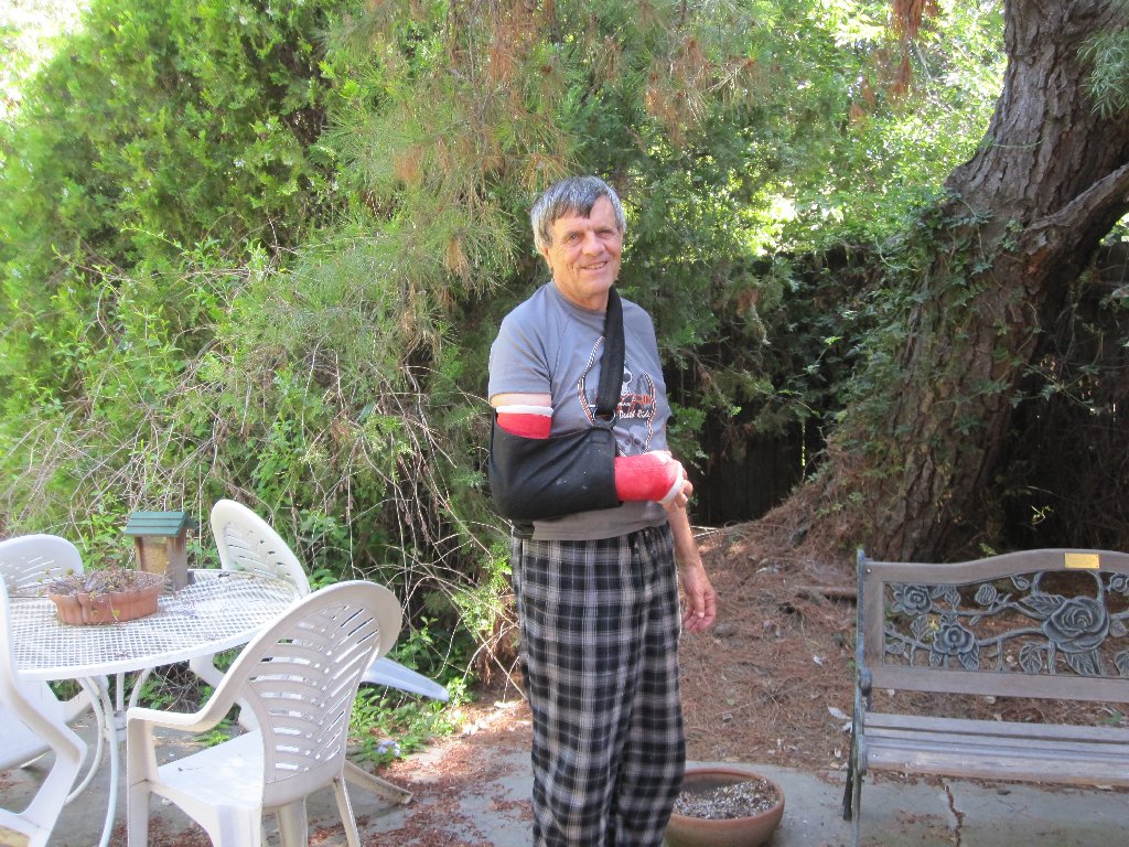
Hello, everyone! This is my first outing since the triple-fracturing
of a wrist two months ago over at Pritchett Canyon in eastern Utah. A wrist
brace, normally worn only at night lest I do something rash while sleepwalking,
is in place as a precaution. Although I still cannot do much at all with
my right hand, one thing that I can do is to go hiking!
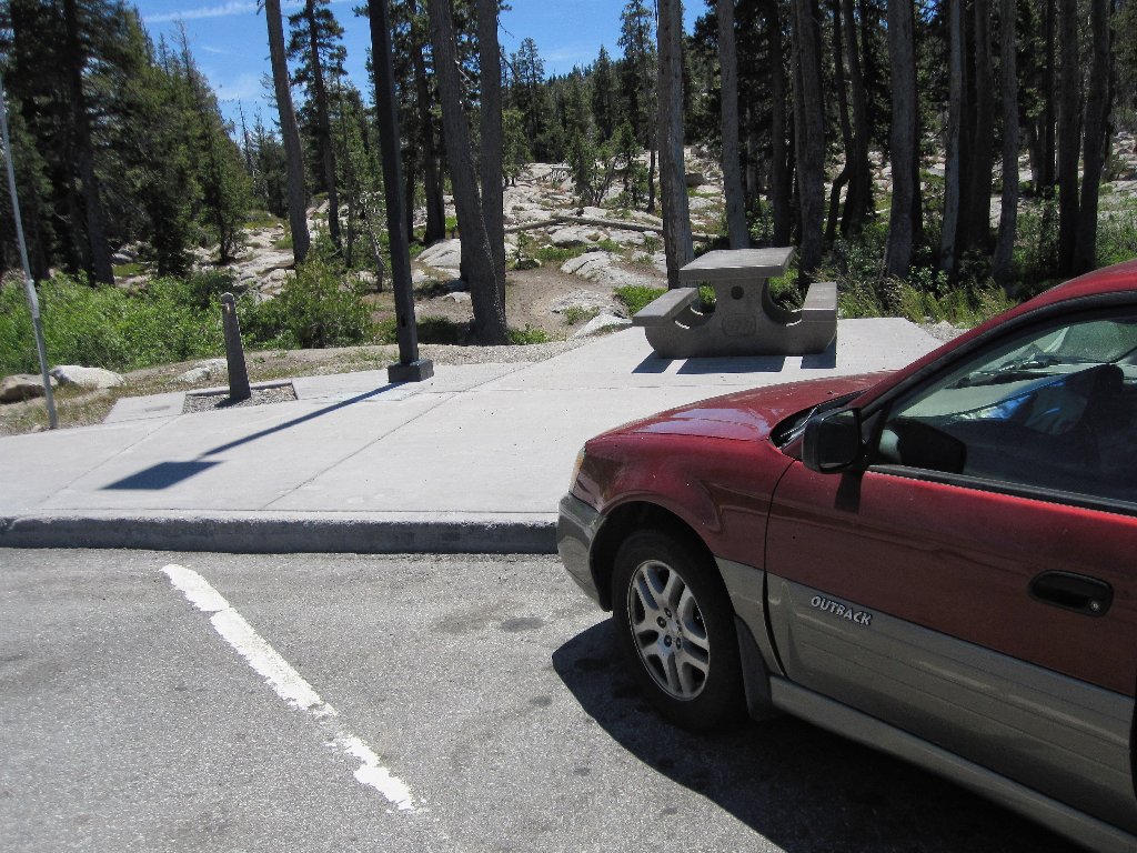
Having waited until 11 a.m. to leave home, By 12:30 I reach the summit rest area,
where it is 70 degrees and breezy. A shortcut from the eastern end of the
parking lot accesses the little nature trail that loops behind the provided facilities.
"I think I need to take a walk."
This looks like a good place
Starting out
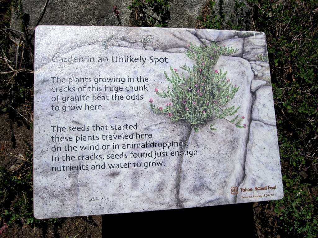
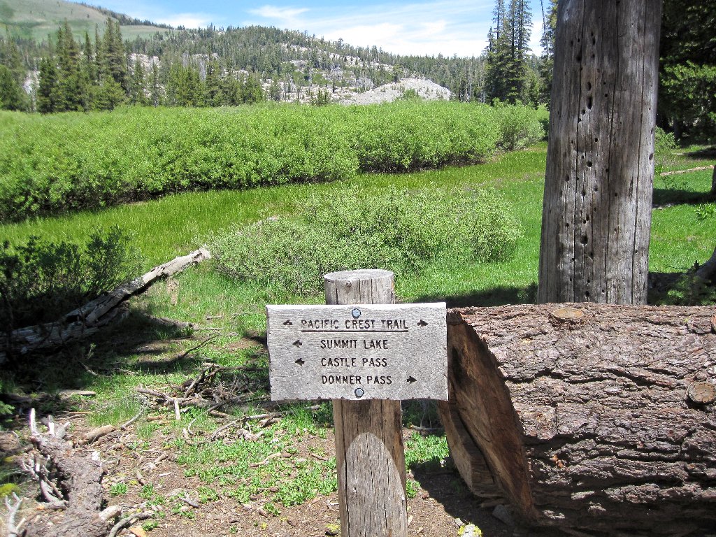
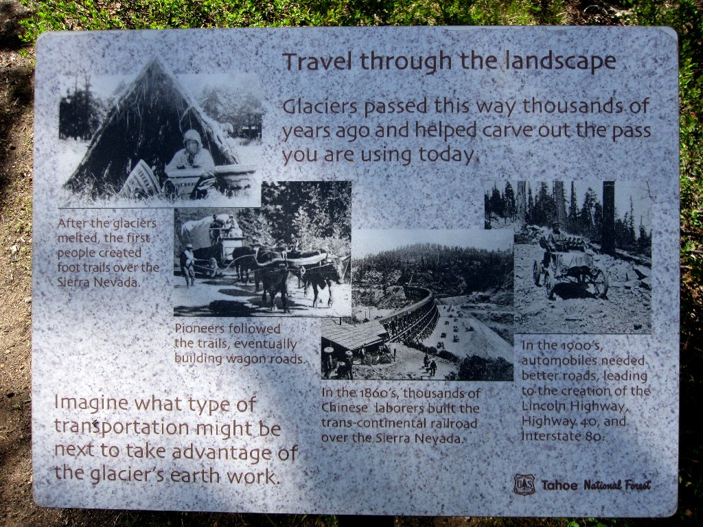
There are several such informative signs
Although I lose track of the trail briefly, it is relocated it by following the voices of some other hikers. Presently I run into the Pacific Crest Trail and turn southward.
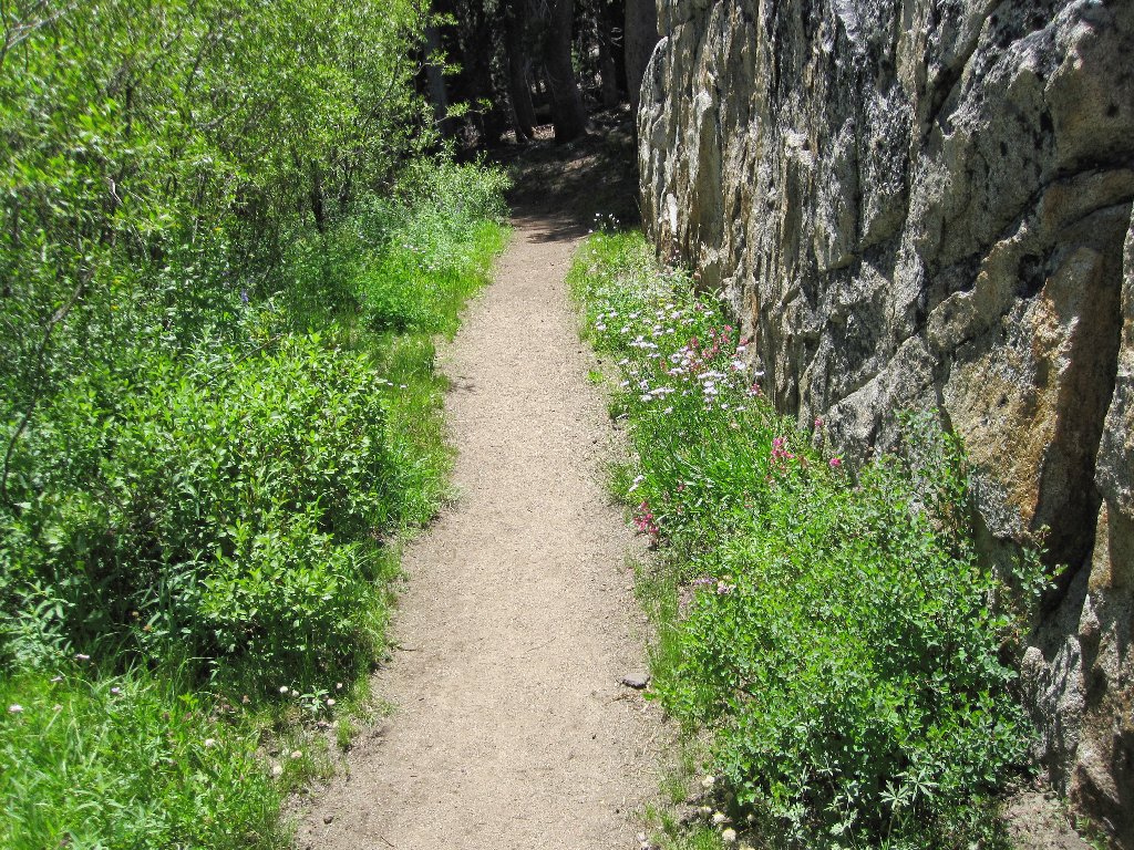
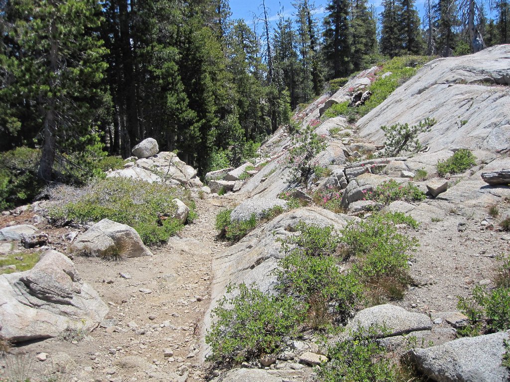
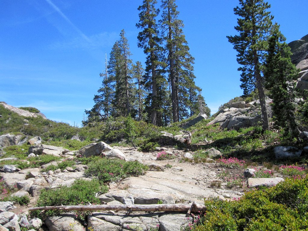
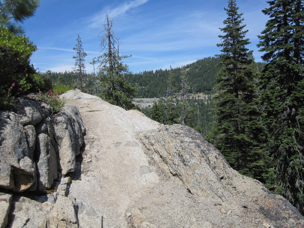
A pleasant path
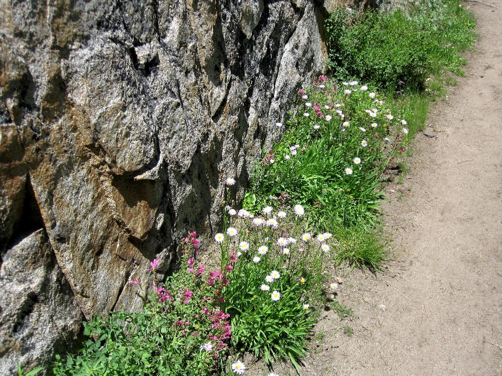
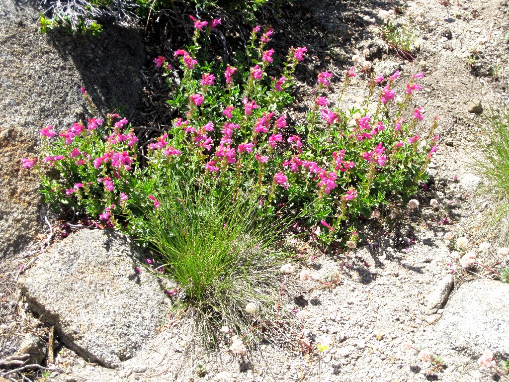
Some nice flowers are out today
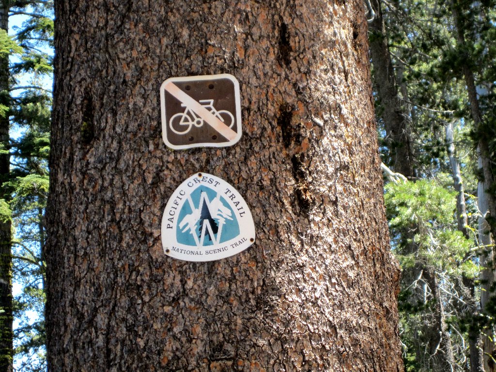
It always is a pleasure to be on the PCT
Shortly beyond the junction an unsigned faint spur trail veers to the right,
and I take it.
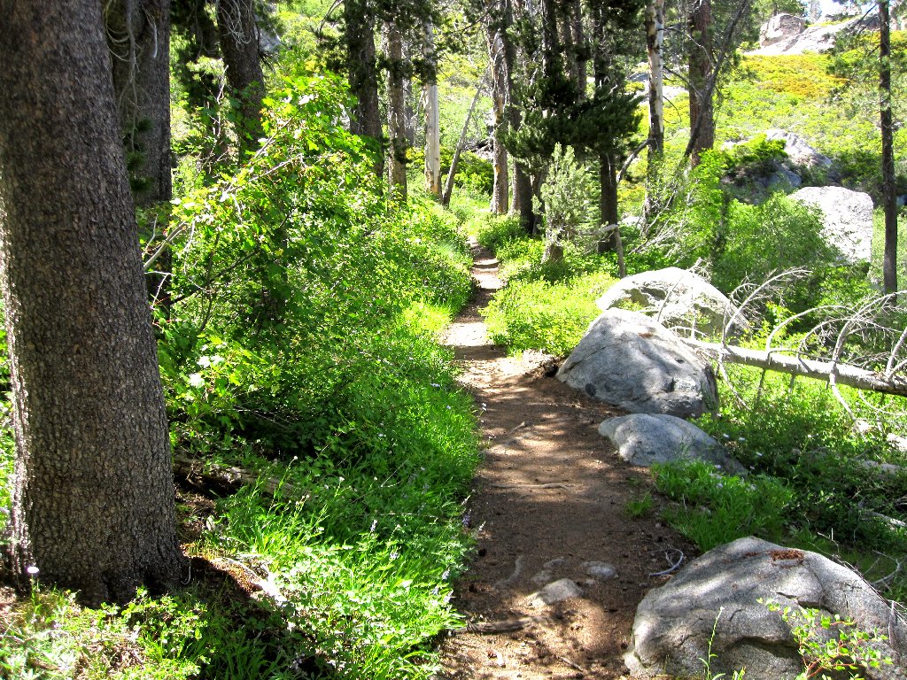
The detour goes this way
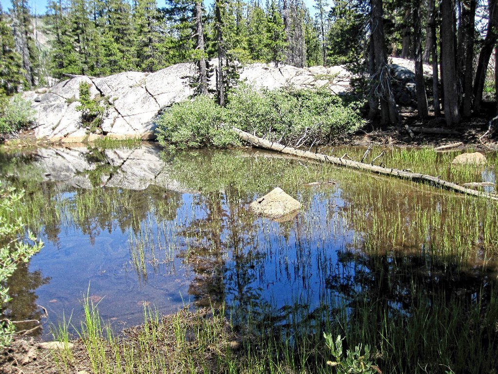
Within five minutes, the first attraction appears. A family of swimmers and two very wet dogs are just leaving the area.
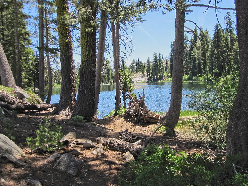
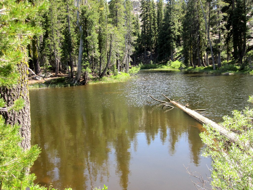
Azalea Lake, looking south
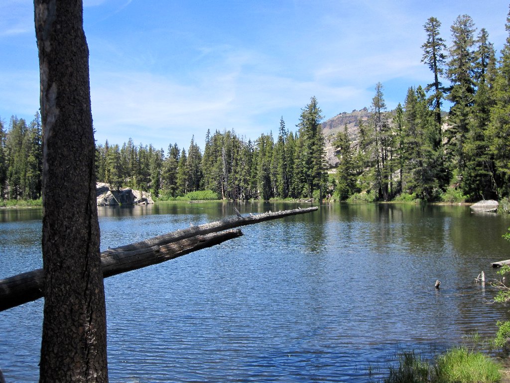
Looking north
Continuing alongside the lake shore leads to a ridge top and a view to the east:
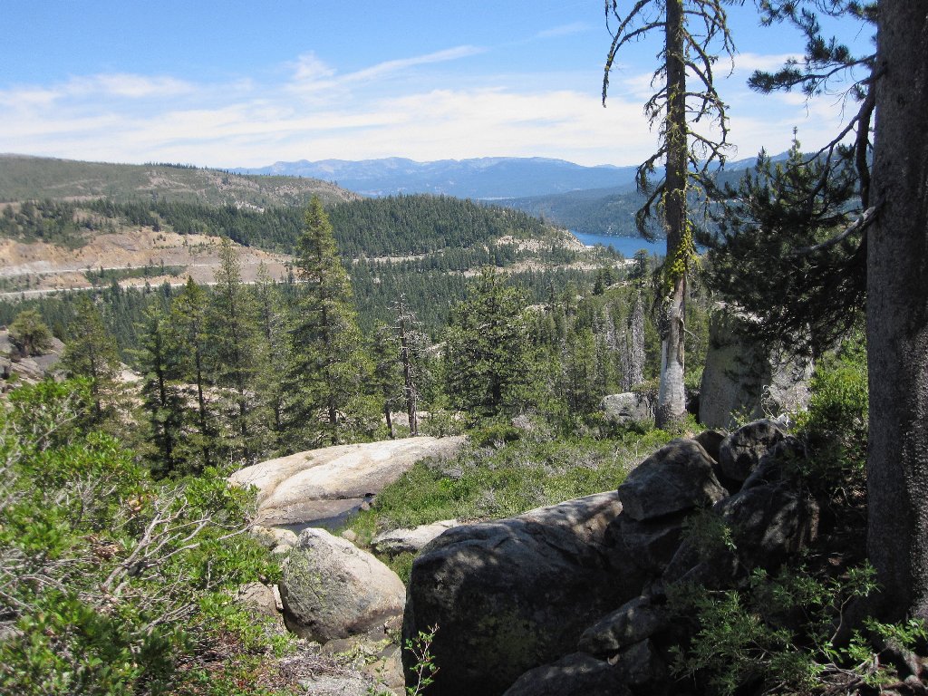
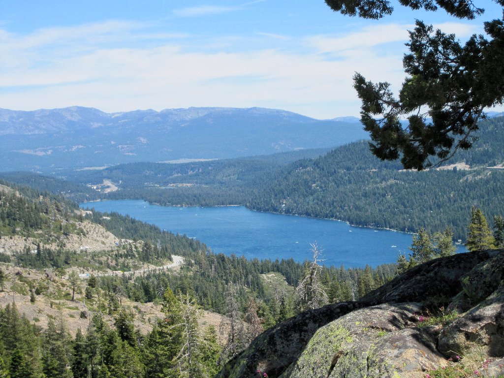
The freeway approaches Donner Lake, with Mount Rose in the distance
Another short scramble across some granite slabs accesses the second attraction:

Flora Lake
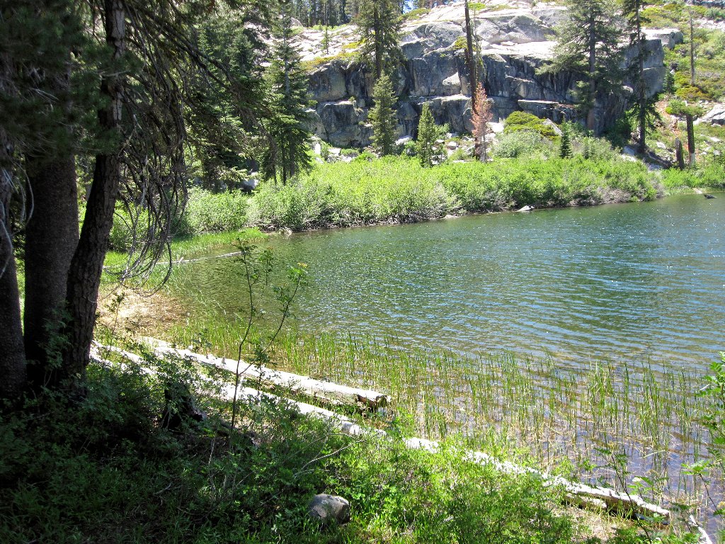
My wife-to-be and I went skinny-dipping here back in 1997
I had originally intended to scramble down from here a short distance to regain the PCT; but another group of hikers passes by quickly, heading south on a use trail of which I was unaware. The leader seems to know what he is about, so I will follow and see what develops.
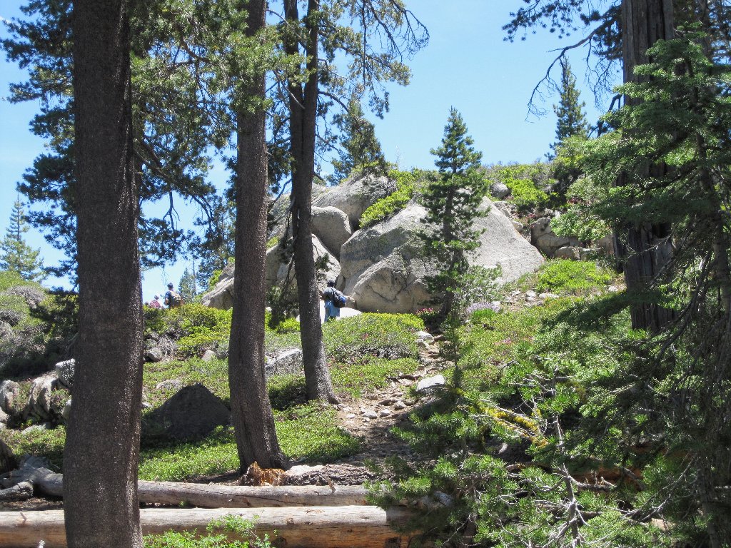
If they can do it, so can I
Being compelled to travel slowly in order to avoid the possibility of another fall, I quickly lose sight of the group ahead; and any semblance of a trail soon dries up as well.
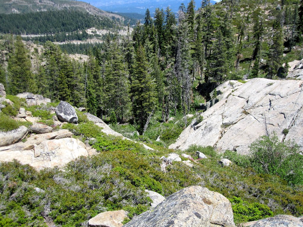
Scenic
Not so scenic
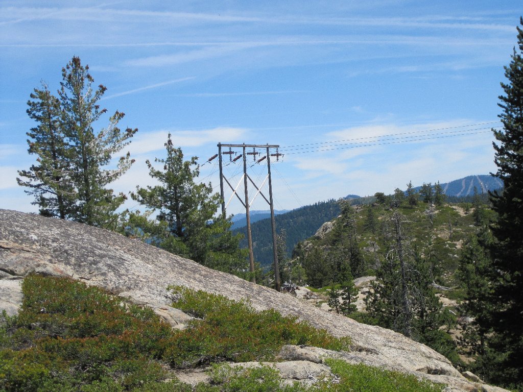
Some bushwhacking is necessary in order to reach the the power lines, where
my options run short. I want to loop back down to the main trail; but the
manzanita-infested wash directly below looks particularly uninviting,
so I start backtracking. Locating a dry creek bed that isn't too steep,
I embark upon yet another adventure that I really should not be tackling in my
present one-armed condition.
I will find another way down
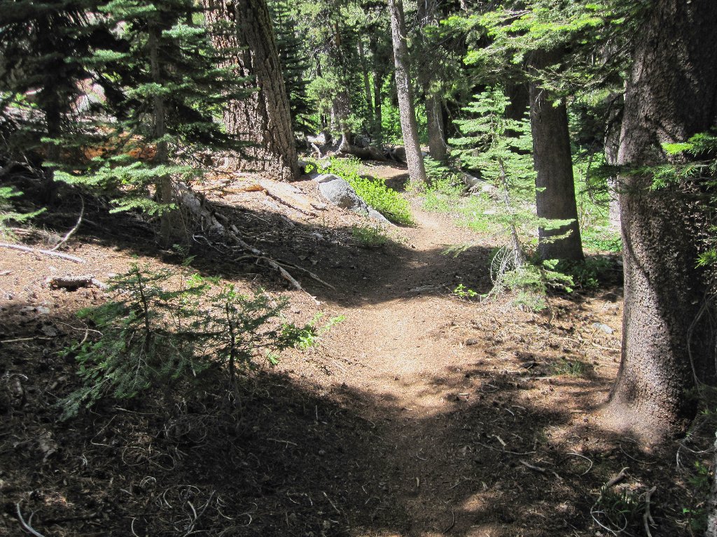
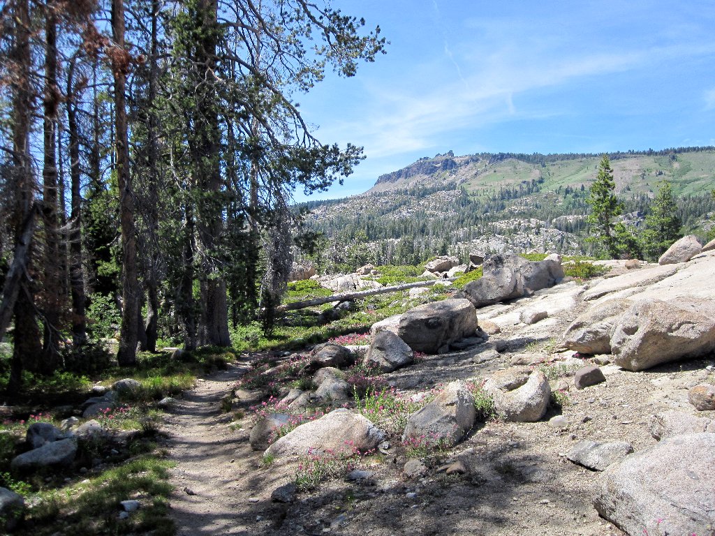
Back on a maintained trail
Fifteen minutes of extra-careful boulder-hopping get me down to the PCT. That wasn't so bad. Now it should be a leisurely stroll back.
Mountain Pride
Oops! I guess I'll not be able to tarry after all, for the vampire bugs have arrived. I must keep moving to avoid them.
The trail winds up, down, and around
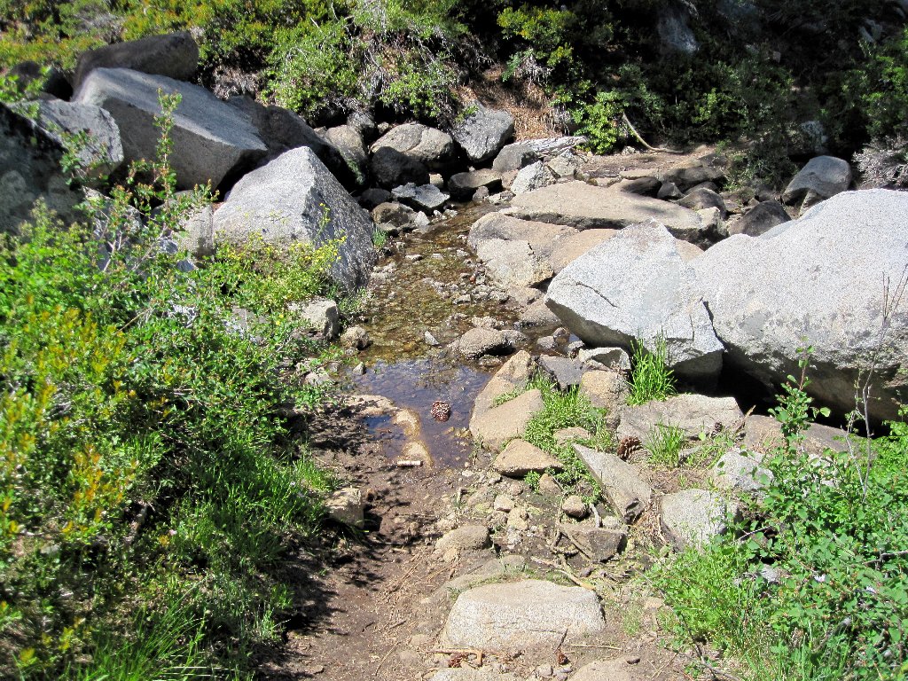
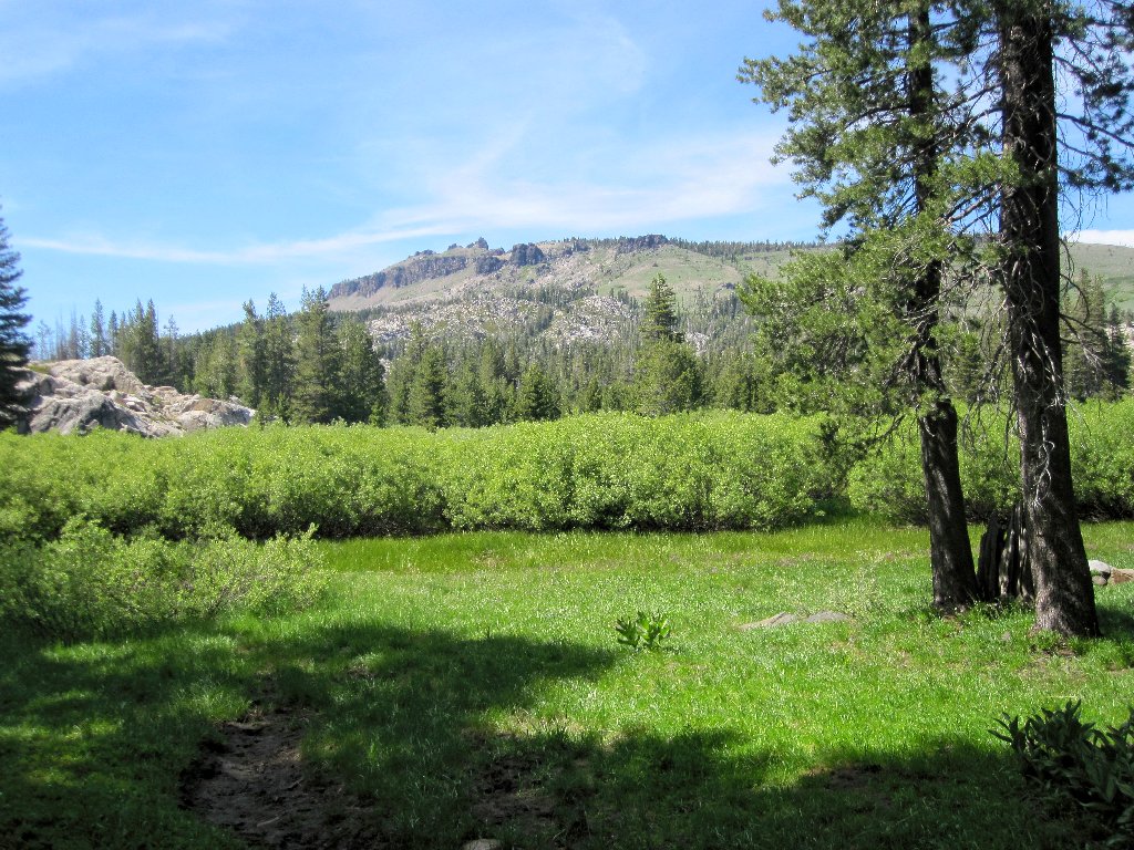
The lakes drainage
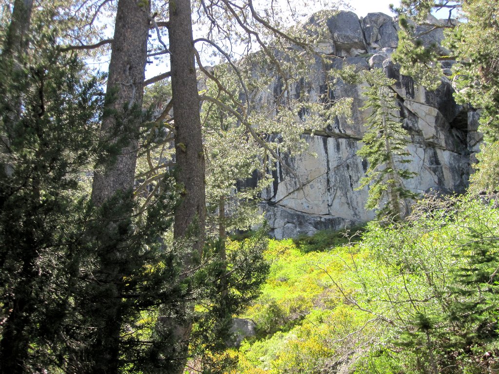
Those cliffs hold the two lakes in place
Castle Peak, 9103', is the area's principal landmark
Near the end of the walk, I humor myself by continuing northward to peek at the hikers' tunnel that runs underneath the freeway; then I head back to the parking lot. Despite the summer Sunday traffic, I and my numerous mosquito bites are home by five o'clock.
§: This walk can serve as a nice respite from a long drive, and
(beachless) swimming is available; but most other routes in the Donner Pass
region are more scenic. Although the semi-hidden aspect of the
lakes basin has its appeal, this section of the Pacific Crest Trail is relatively
dull; and the sights and sounds of America's busiest highway are undesirable.
| Scenery |  |
| Difficulty | |
| Personality |  |
| Solitude |  |