Capitol Reef National Park
|
Cassidy Arch Capitol Reef National Park |
April 21, 2014
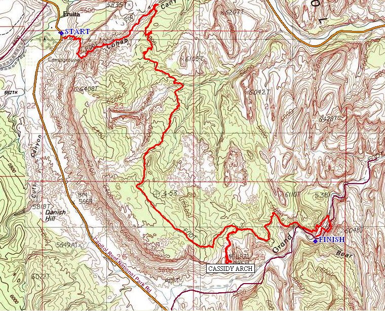
Today's route incorporates segments of four different trails. It also
is a one-way venture, so I am hoping to hitch a ride back later to avoid
walking an additional 3½ miles on the roadway.
Although I understand that some parking is available at the Fruita Campground amphitheater, I opt for the little lot a few hundred feet north of the trailhead, just past the entrance to the historic farm.
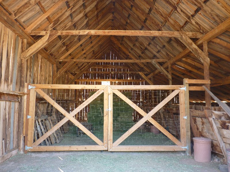
Inside the roadside barn
Across the street from the campground
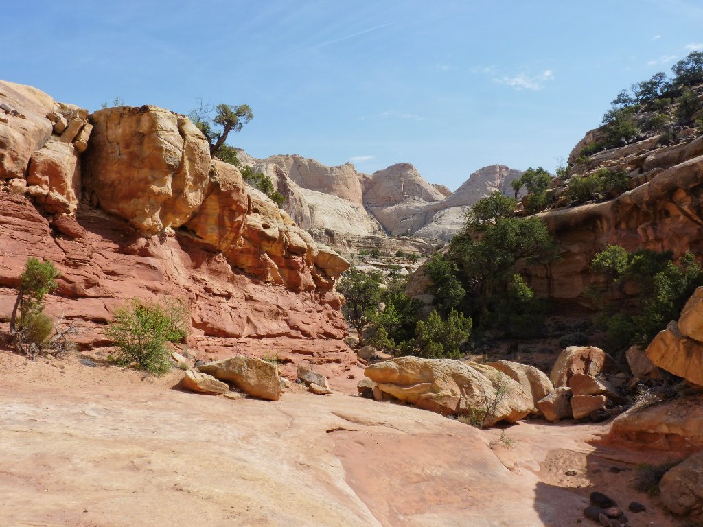
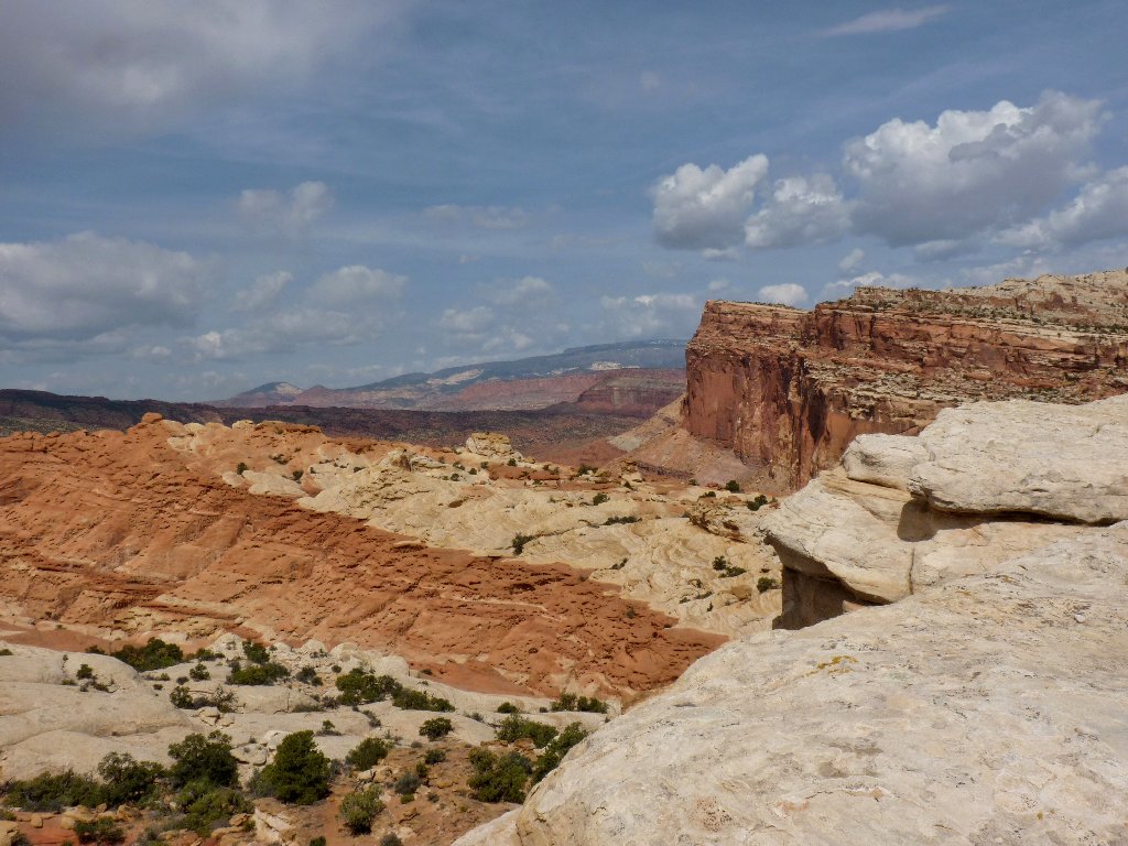
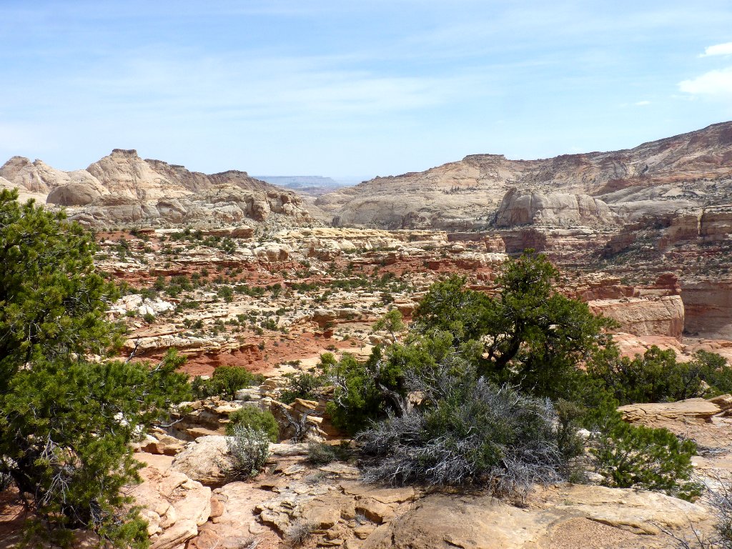
A steep climb begins immediately, and already there is a nice view:
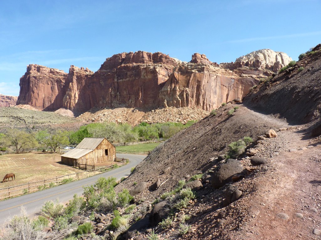
Fruita: the heart of Capitol Reef
Early-morning shade
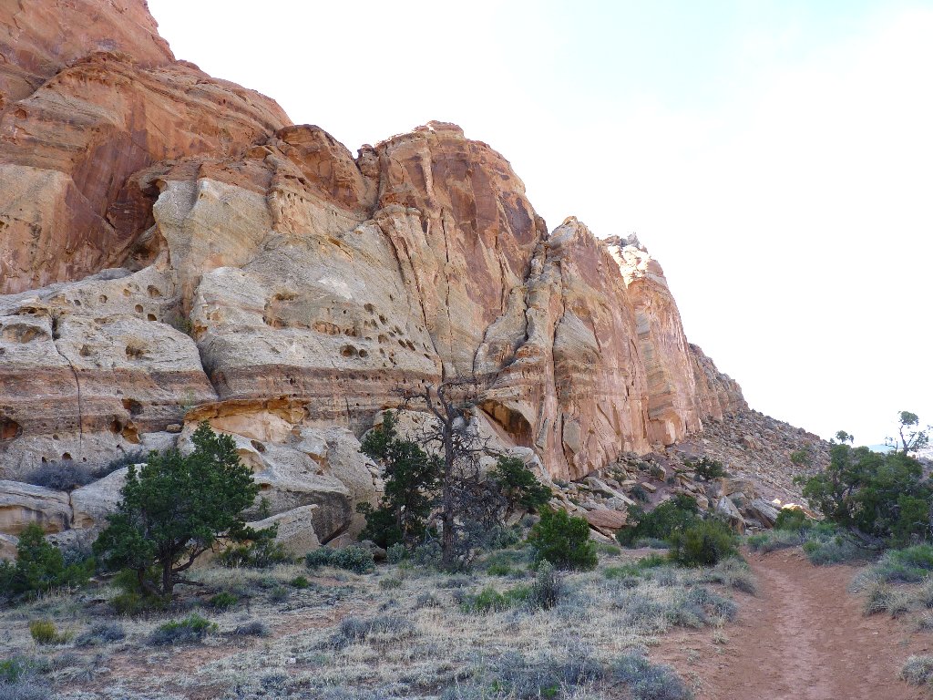
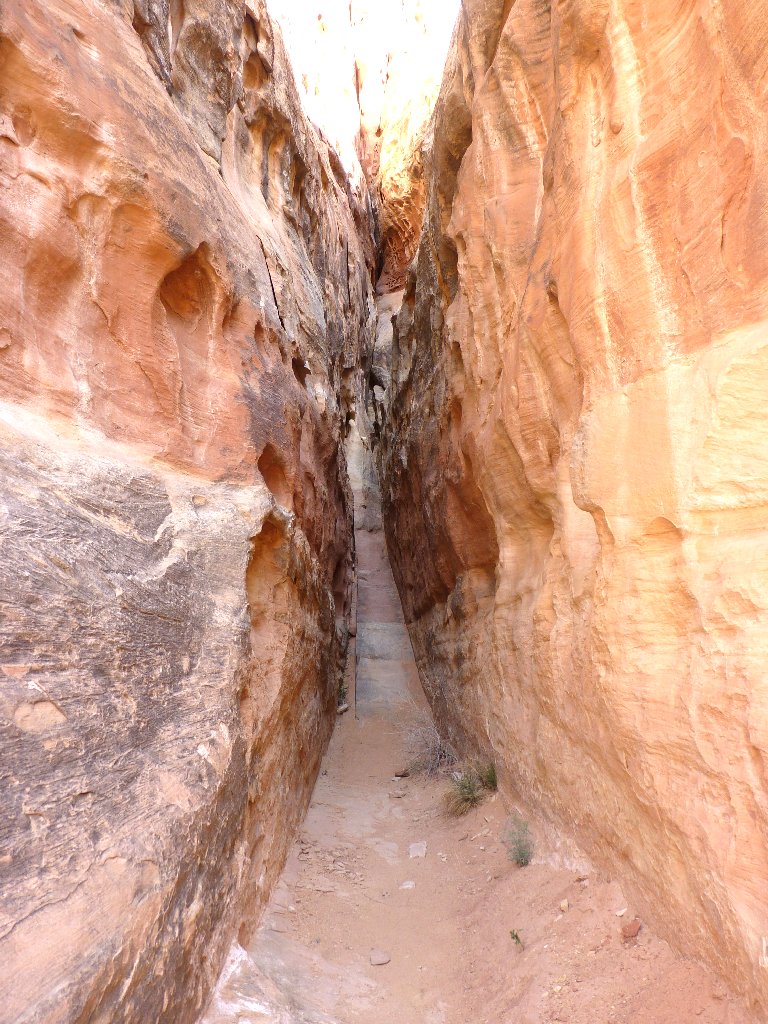
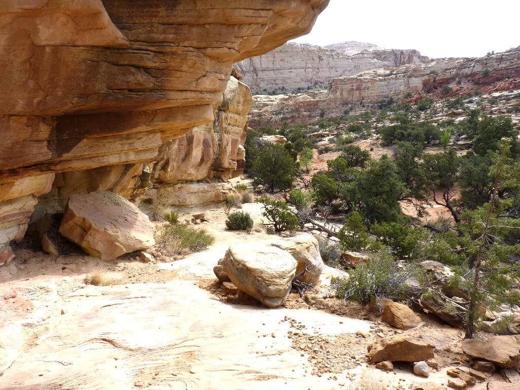
It's a 400-foot climb to the upper lip of the canyon, which is strangely configured. Normally, the "hanging" part is at the lower end, but not here. Most unusual.
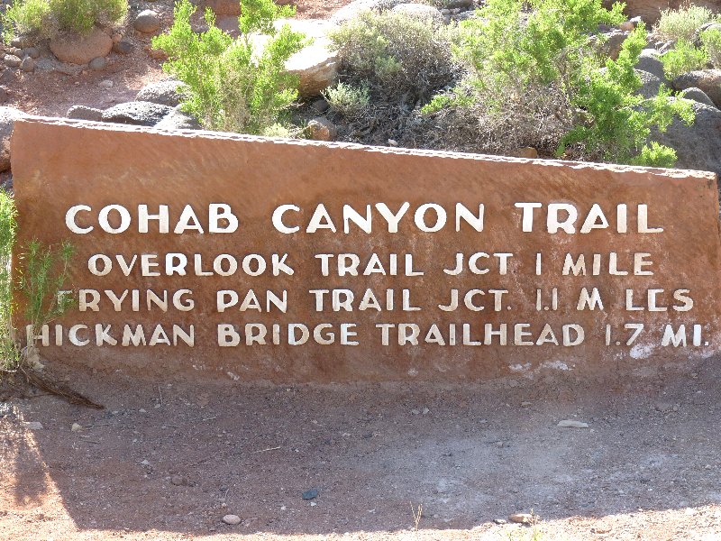
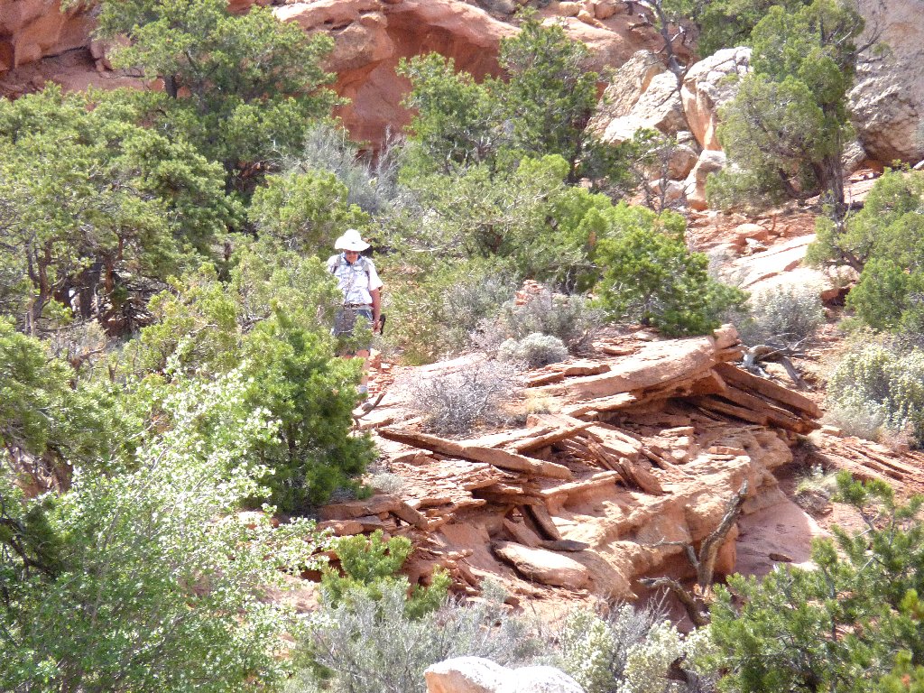
Entering Cohab Canyon
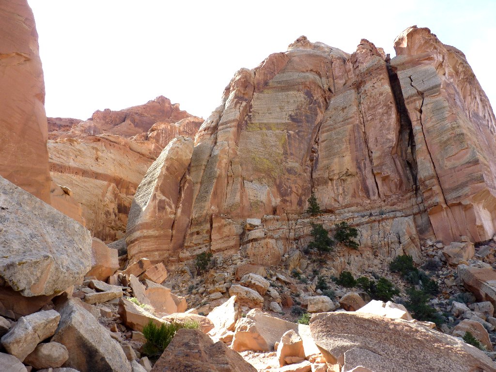
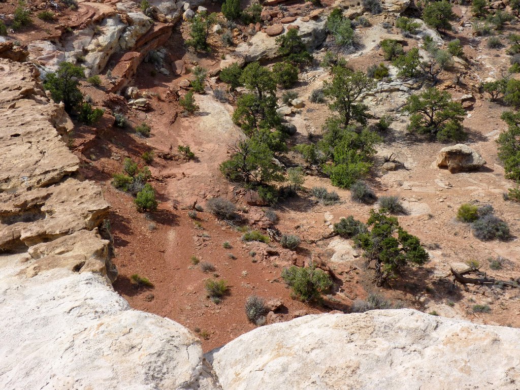
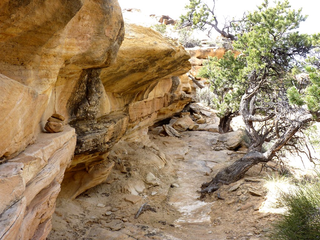
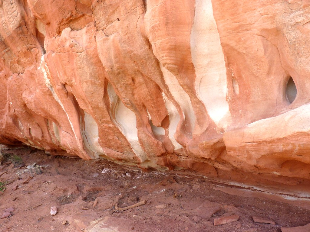
All sorts of interesting features present themselves as I amble slowly
downward. A couple of trail sections necessitate careful footing, and I
pass a family of folks who apparently are being more careful than I.
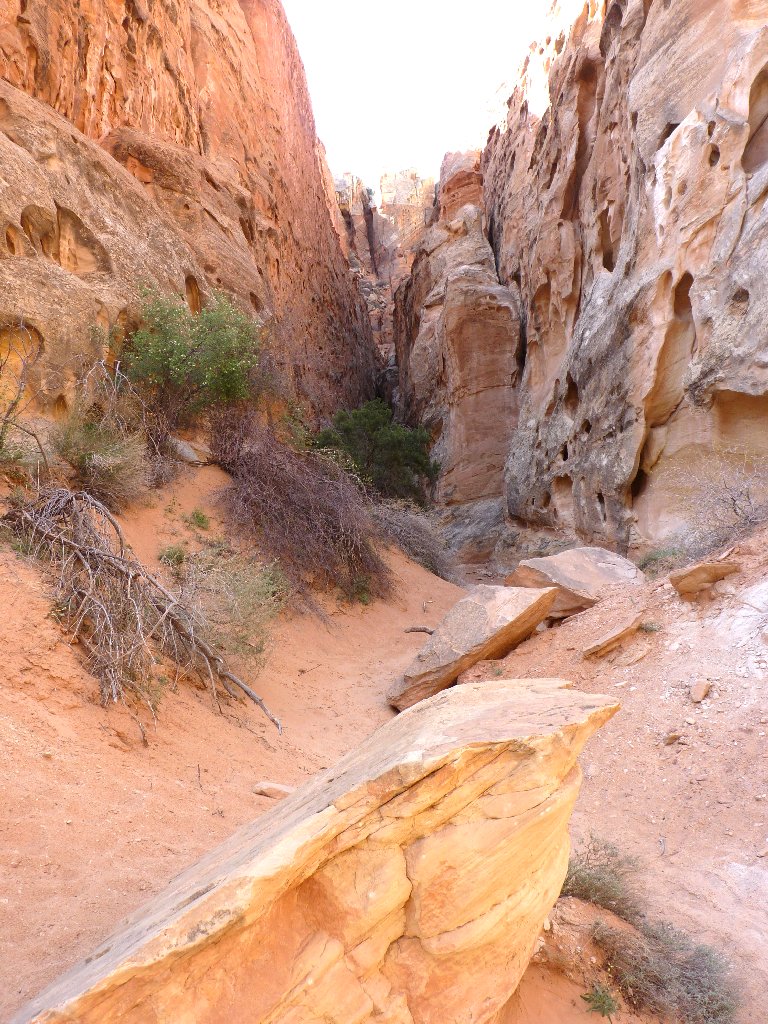
These side canyons dead-end abruptly
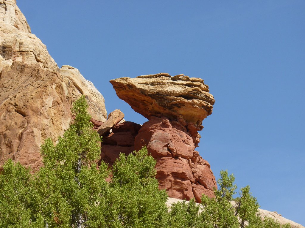
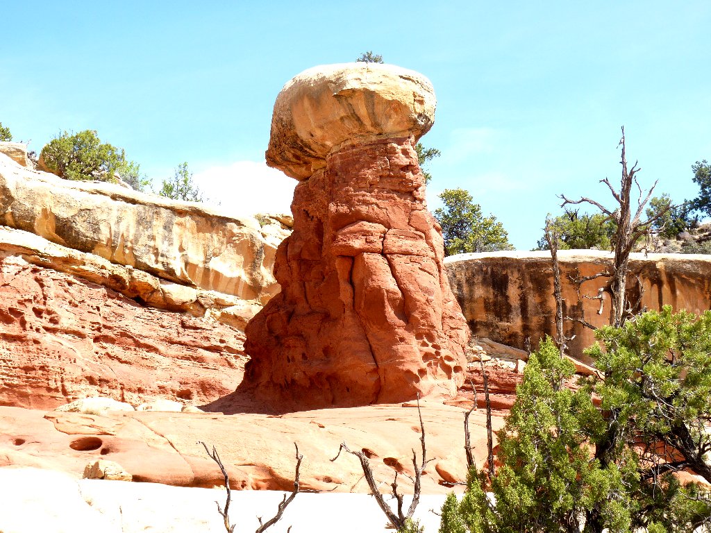
Balancing rocks
Cohab Canyon received its name when the Federal government attempted to
enforce anti-polygamy statutes in the 1880s. Mormon polygamists,
or "cohabs", often sought refuge in this canyon when hiding from U.S. Marshals.
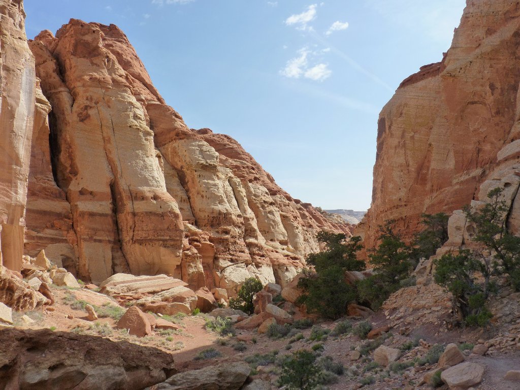
The view ahead
At a trail junction, one has the option of continuing down to the main highway; but I turn right and immediately climb out of the canyon on the Frying Pan Trail.
Overlooking the canyon entrance. Fruita is on the other side
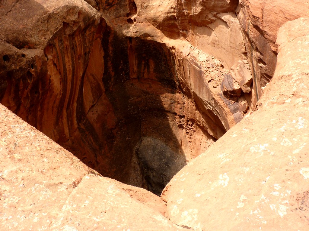
I lose the trail here briefly, when it heads west rather than south as expected. Although this miscue results in one of my patented steep, tiring scrambles that somehow seem preferable to retracing footsteps in order to relocate a trail, I do find a little archlet that otherwise would have gone unnoticed. Few people ever see this one:
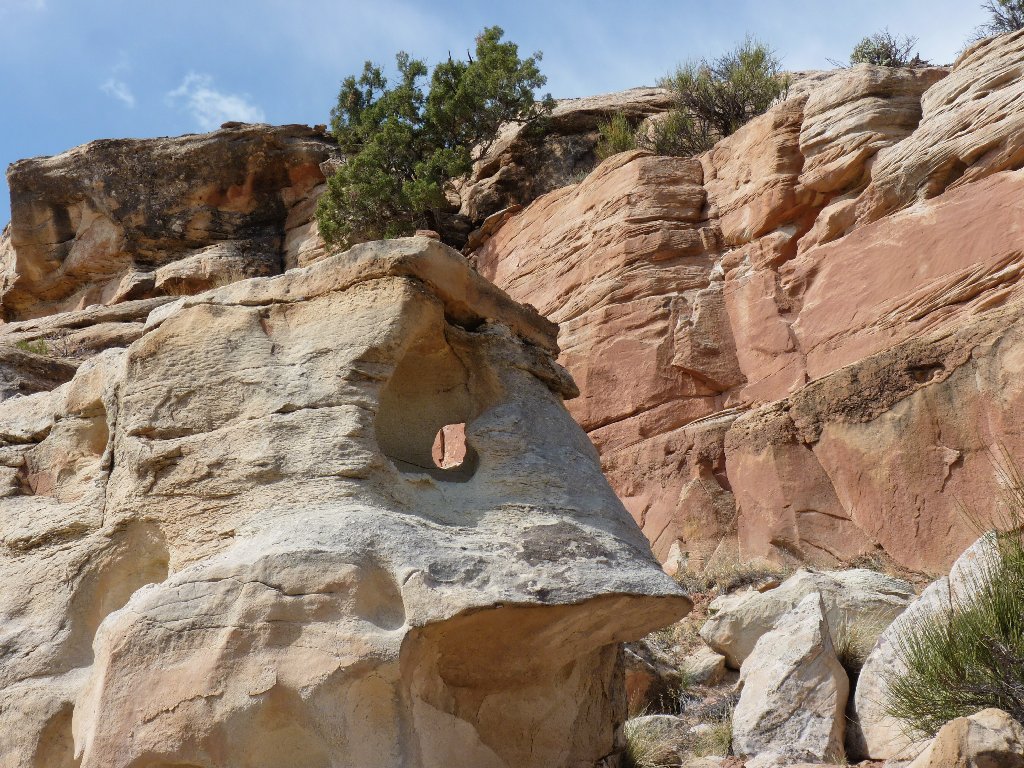
"Serendipity Arch"
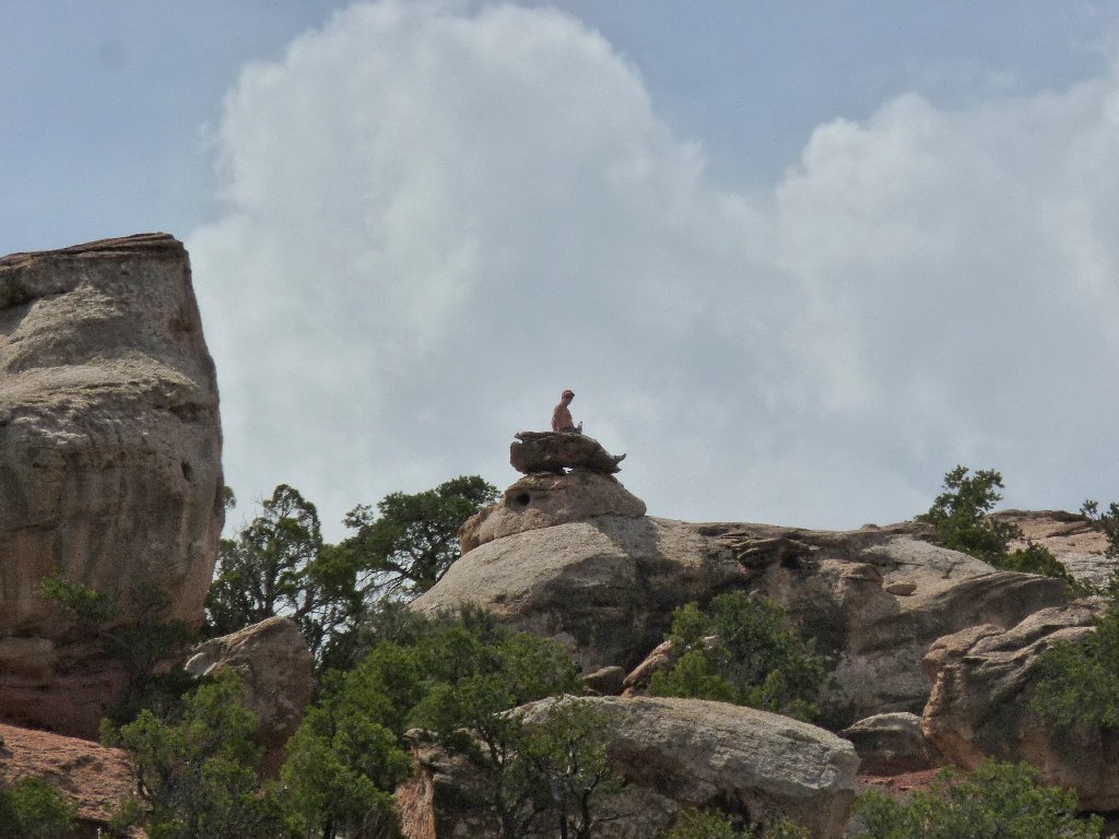
Having still not regained the trail, I end up being cliffed-out on a rock
promontory that does, however, provide a great 360-degree vista.
I pause here long enough to capture a movie clip of the entire scene.
Looking south
Looking north
Aha! There's the trail directly below. The shortest way down involves a bit of scrambling under bushes and over rocks, so naturally I do that.
The trail awaits me
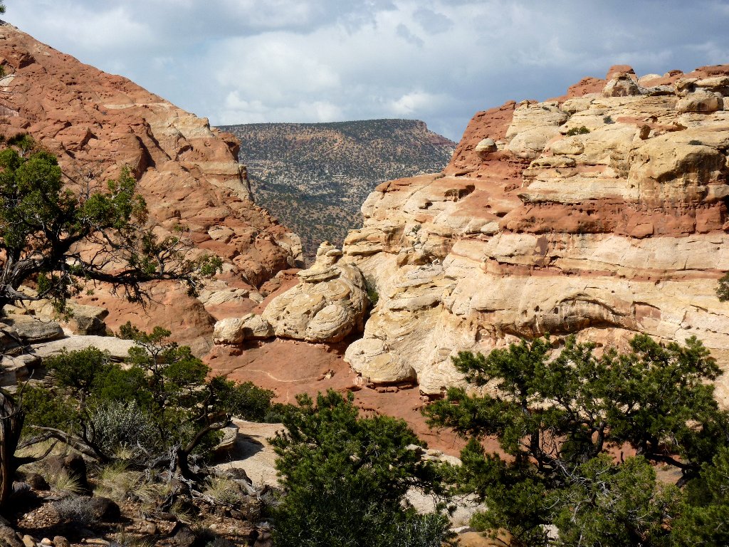
Now it's down into Fry Canyon, then back out. The roller-coaster ride continues.
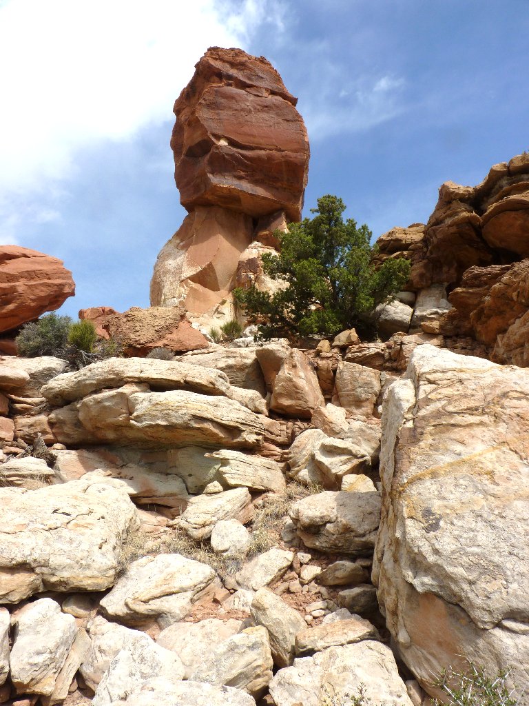
That hoodoo is a useful landmark
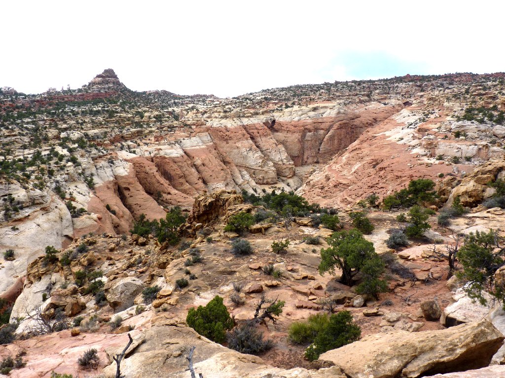
Upper end of Fry Canyon
Fun trail segments
Study in Pink
Around the next corner I encounter the only human I have seen in quite a while. He is a retired septuagenarian computer professional such as myself, except that he was the Chief Information Officer. His wife is back east "somewhere" giving lectures of "some sort".
Slickrock passage
Doing his own thing
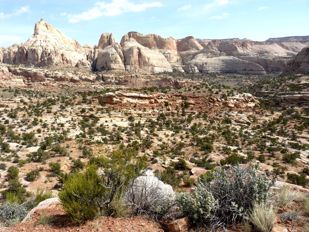
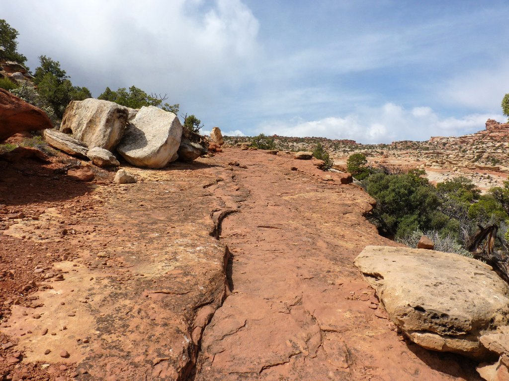
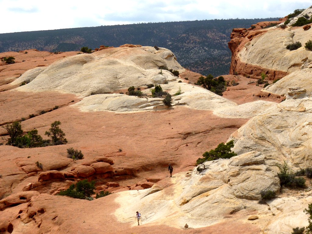
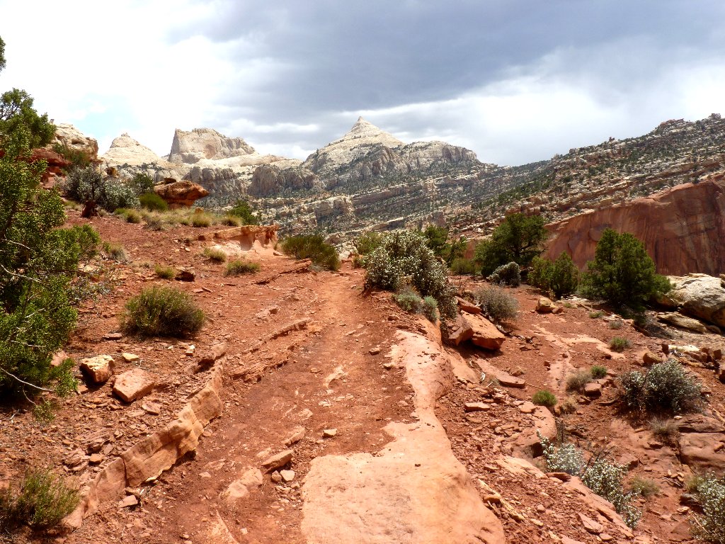
Another couple is hanging out at the trail high-point, where new vistas unfold.
Life at the top
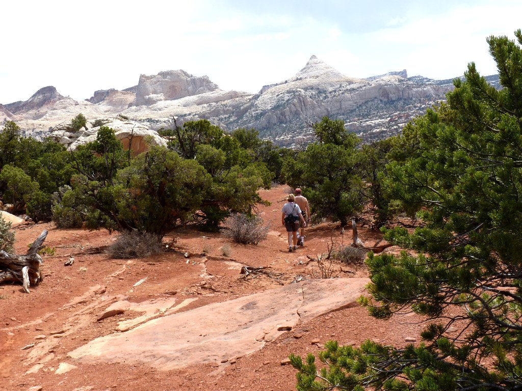
Fern's Nipple dominates the skyline
The exit road is 600 feet below
Heading toward Grand Wash
The crux of the mission is at hand. The nearby couple asks whether I am going over there. I respond that I wouldn't miss it, incredulous that they would forgo the best part of the hike. Go figure.
The arch is half a mile away
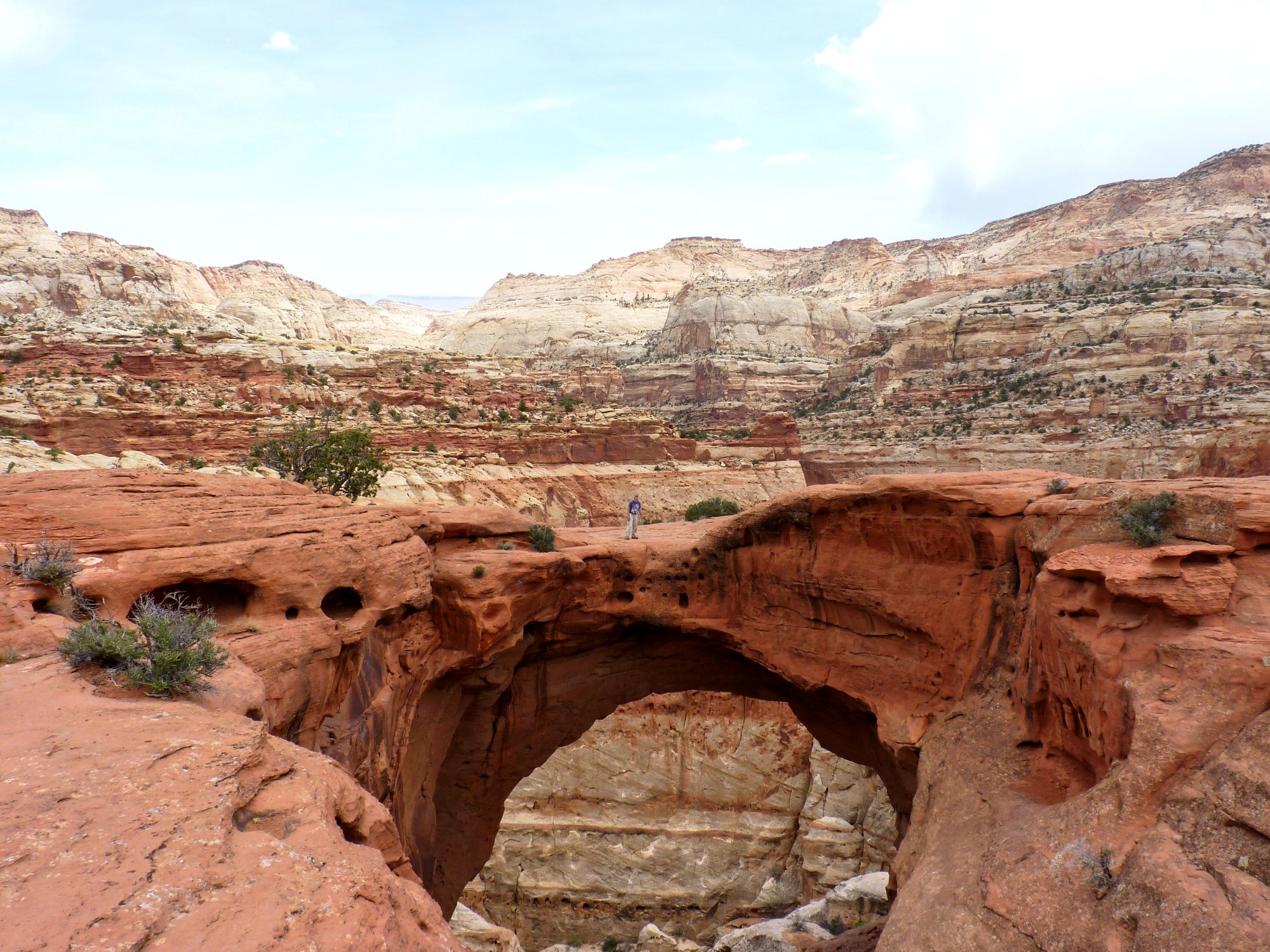
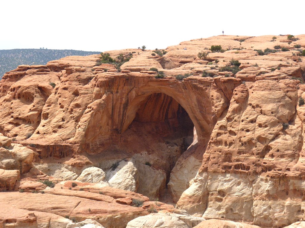
Following the worn spots in the slickrock is sufficient to find the arch, and what a find it is. Oh, my!

Cassidy Arch ⇔
I must get into the scene myself — just to add some perspective, of course:
This is why I go hiking ⇔⇔
Of course, Cassidy Arch is named after the infamous western outlaw known as Butch Cassidy, the most prolific bank and train robber of his time. Cassidy's group, the "Wild Bunch", made regular use of various secret hideouts between here and the Maze area of Canyonlands Park.
A scary look down from atop the arch
Back on the main trail
Cassidy Arch from the 'front'; three hikers behind it
I have run quite short of water already. Now I am taking one sip at
a time when I would have preferred ten. Forty-eight ounces weren't
enough; I need to plan these desert outings a bit better.
I hope that someone down there will give me a ride
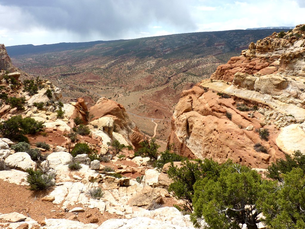
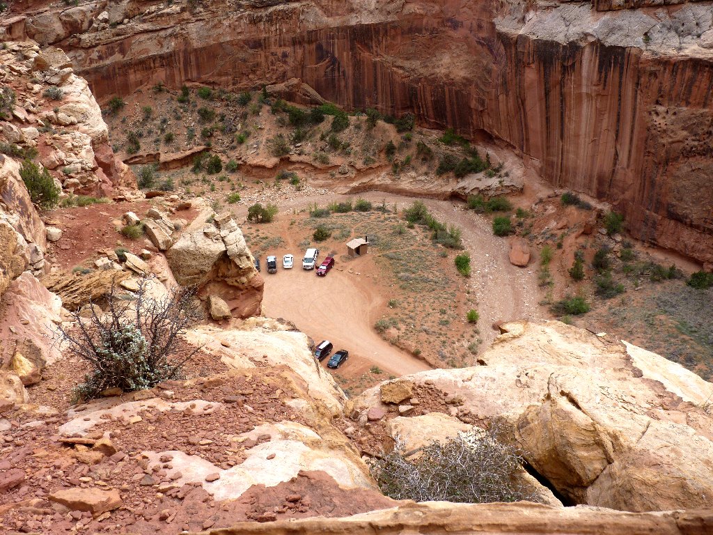
From here, it's just a steep downhill, 900 feet to the bottom of the wash. Although the parking lot seems so close, it's a mile of trail to get there.
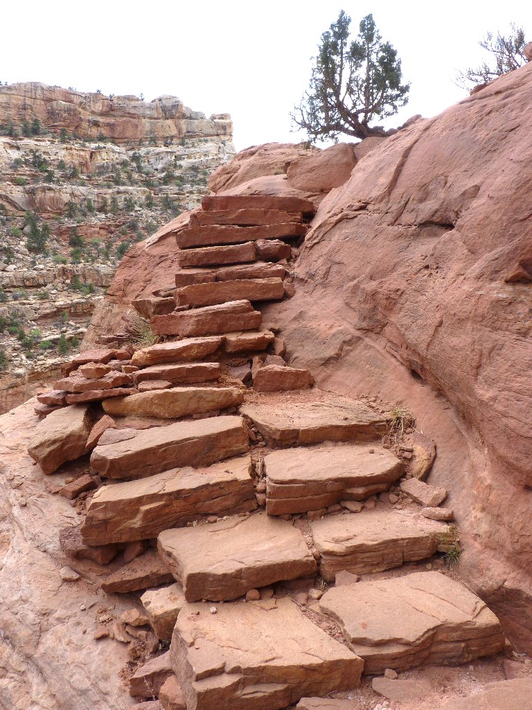
Lots of fancy stairs on the way down
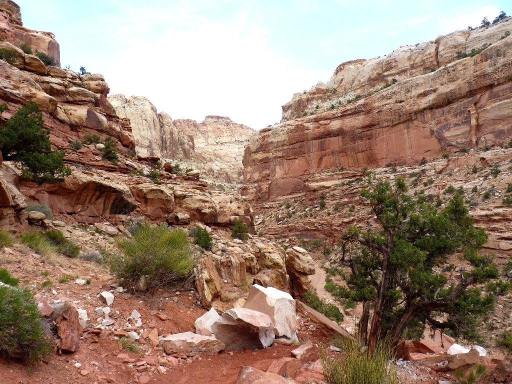
Grand Wash — a future destination
I'm down at last, right onto the Grand Wash Trail that the Wild Bunch used for traversing the Waterpocket Fold. The couple that took my photo on the arch, knowing that my car is more than three miles away and being on bicycles themselves, replenish my water supply. Their generosity proves unnecessary, however; for I fortuitously catch a ride immediately with a nice woman who just happens to be a retired cellist with the Utah Symphony. Being a lifelong classical musician myself, I could not have planned it better.
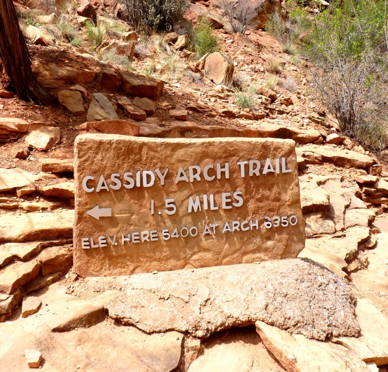
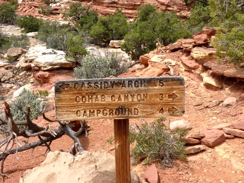
§: As can be seen from the fancy signpost, the arch can
be accessed with just a 3-mile round-trip effort;
but I found hiking the extra scenery to be well-worth
the additional mileage, even had I not been able to hitch a ride.
I also made personal contact today with four groups of people, a probable record for me. For most of my life I elected not to initiate conversations, partly due to debilitating shyness and partly because I detest small talk. But now, on the trail I go out of my way to engage others, knowing that we have at least hiking, and probably more, in common. Besides, it enables me to distribute calling cards to guide those folks to my web site!
| Scenery |  |
| Difficulty |  |
| Personality | |
| Solitude | |