
Capitol Reef National Park
|
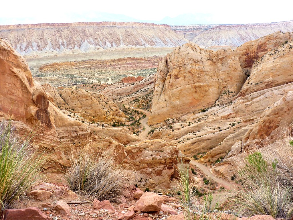
Upper Muley Twist Canyon Capitol Reef National Park |
April 20, 2014
For all the times I have driven through Capitol Reef, I inexplicably never
have hiked in it. Today's trail, well under the radar of most tourists,
is off the Burr Trail Road — a National Scenic Byway and worthwhile
destination in itself.
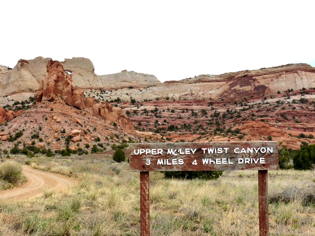
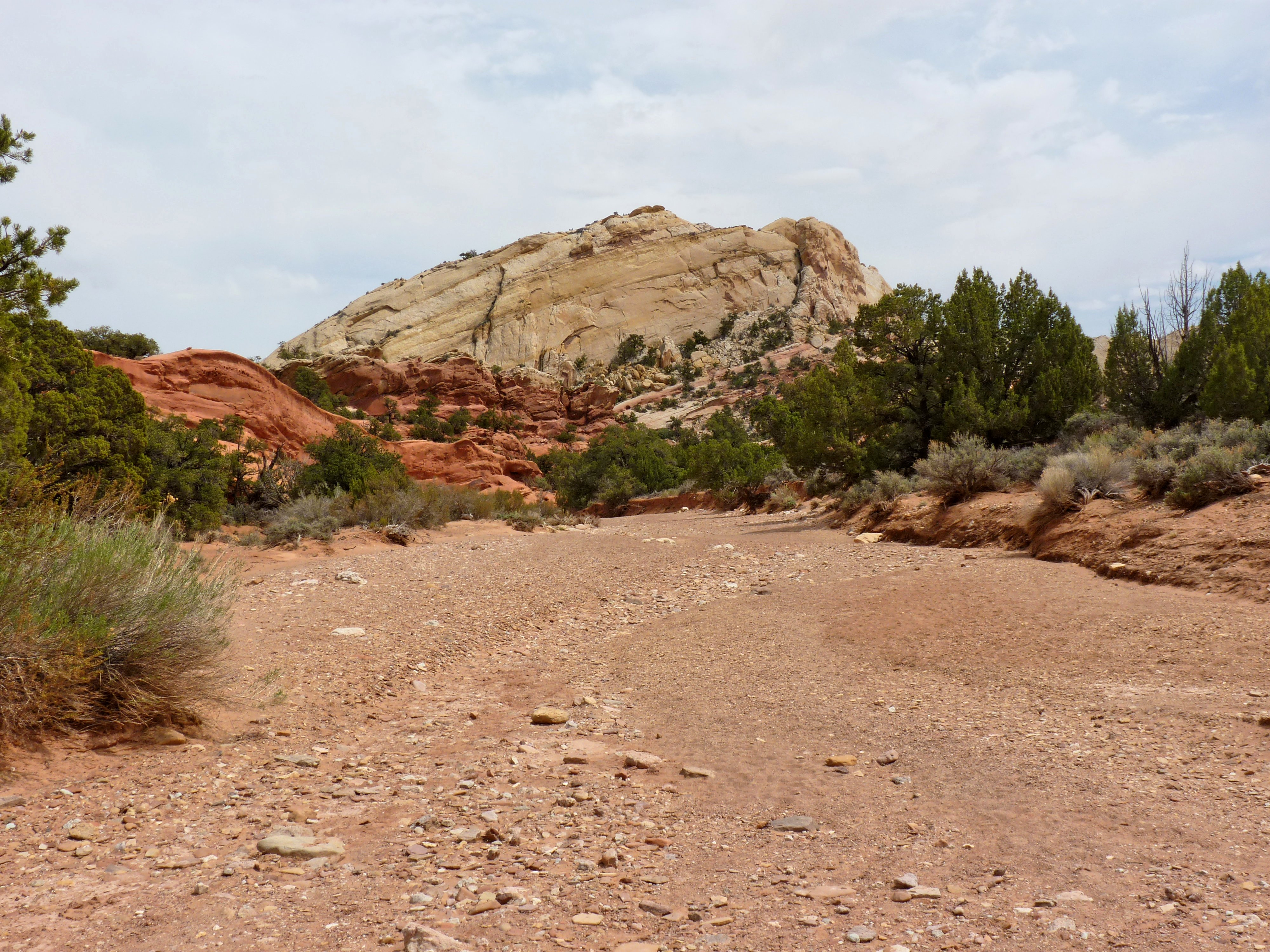
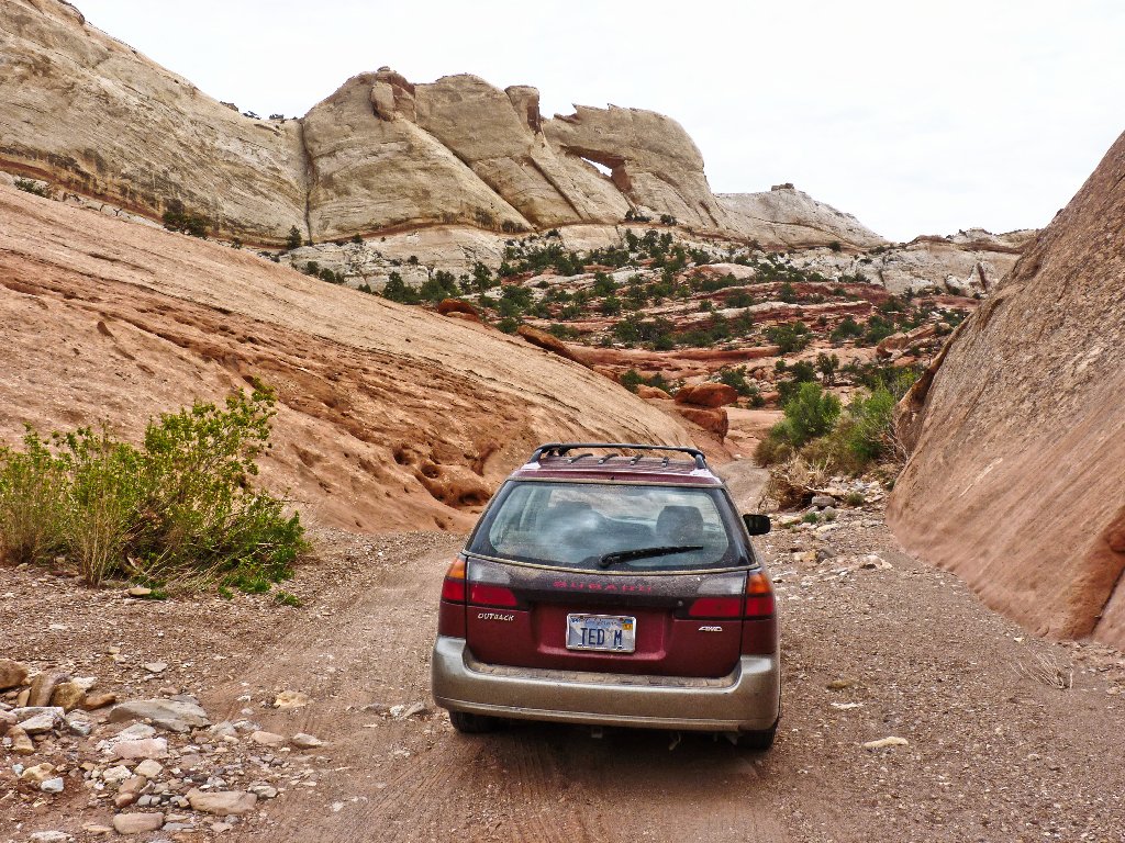
The access road proves easy to negotiate
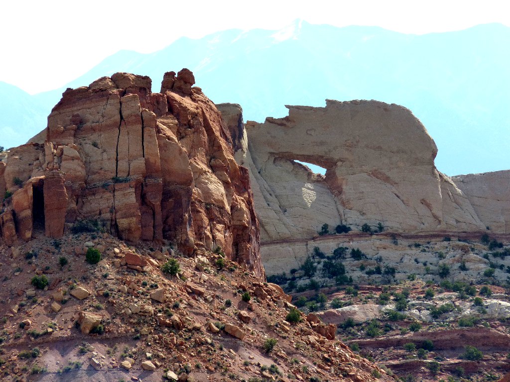
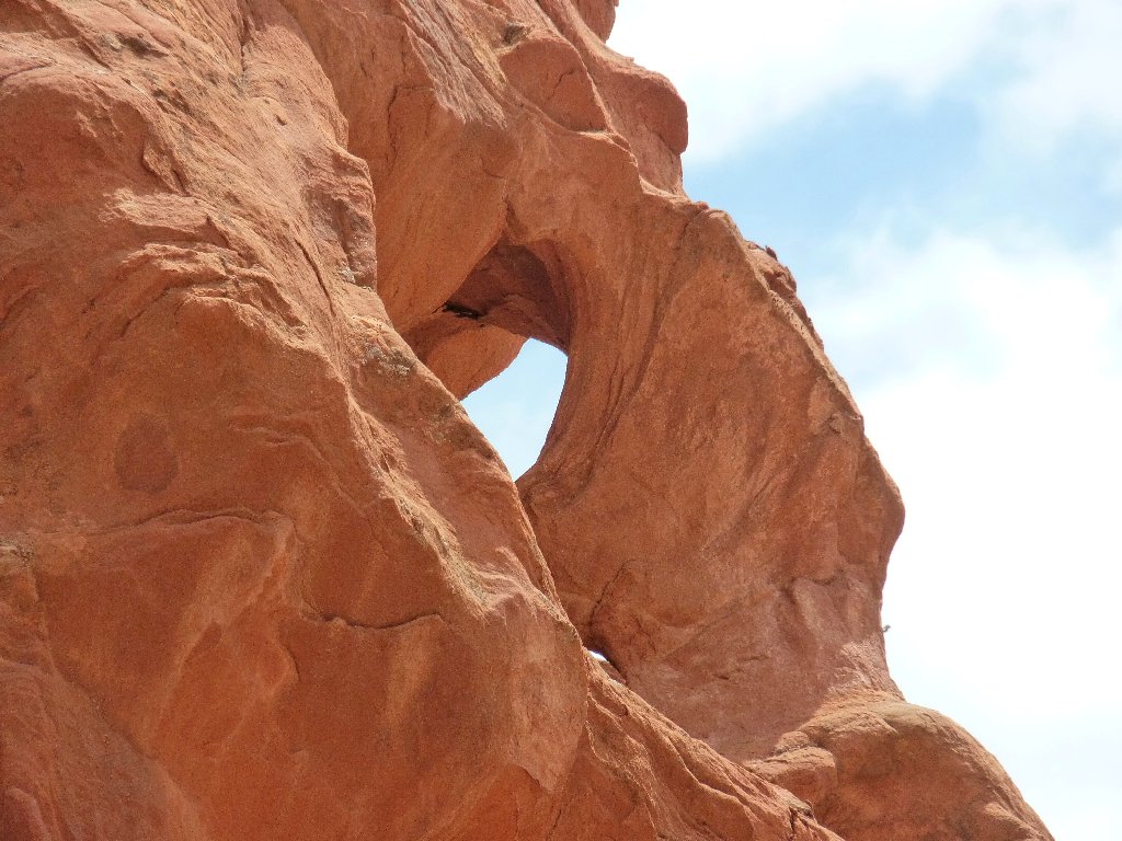
Peekaboo Arch is pointing the way
There is but one other vehicle at the trailhead at 9 a.m.
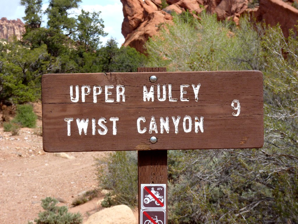

Getting started

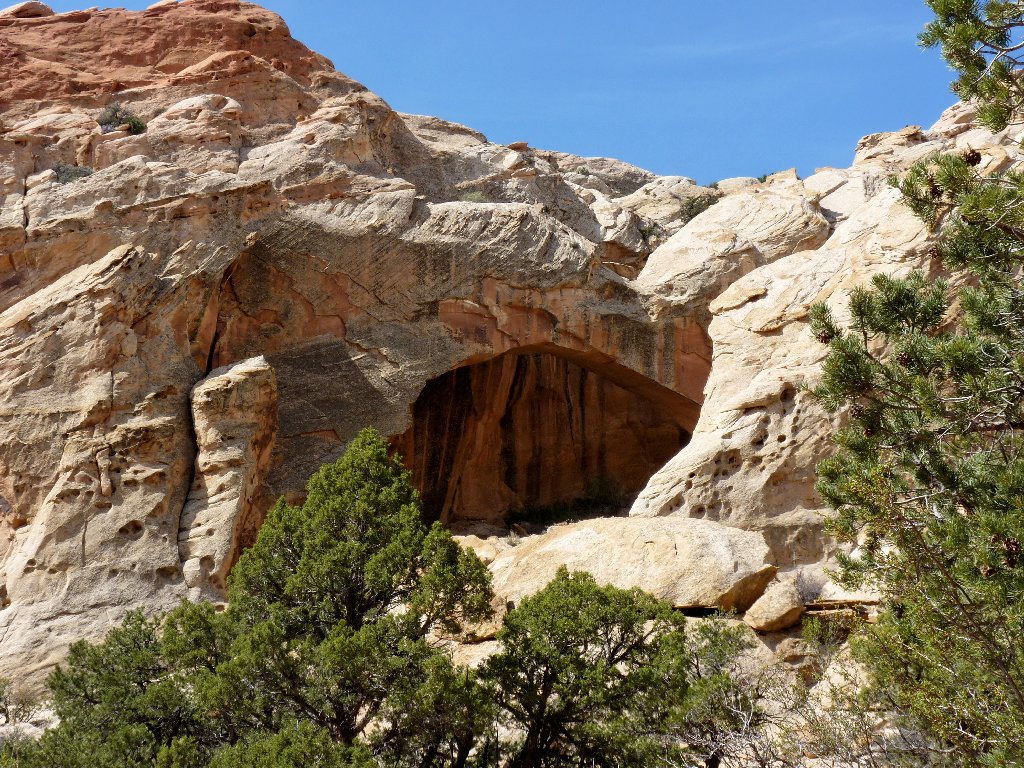
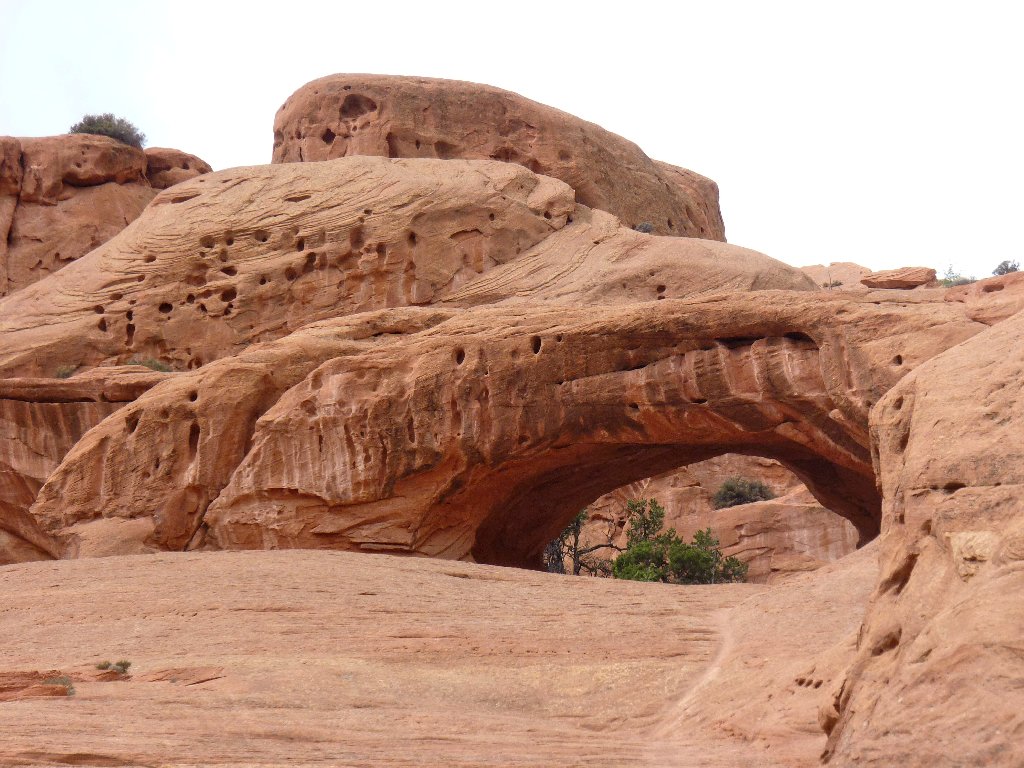
Muley Arch
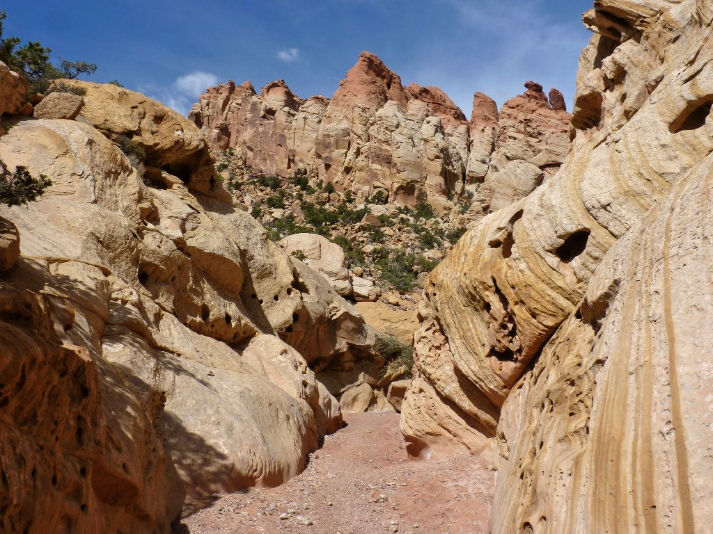
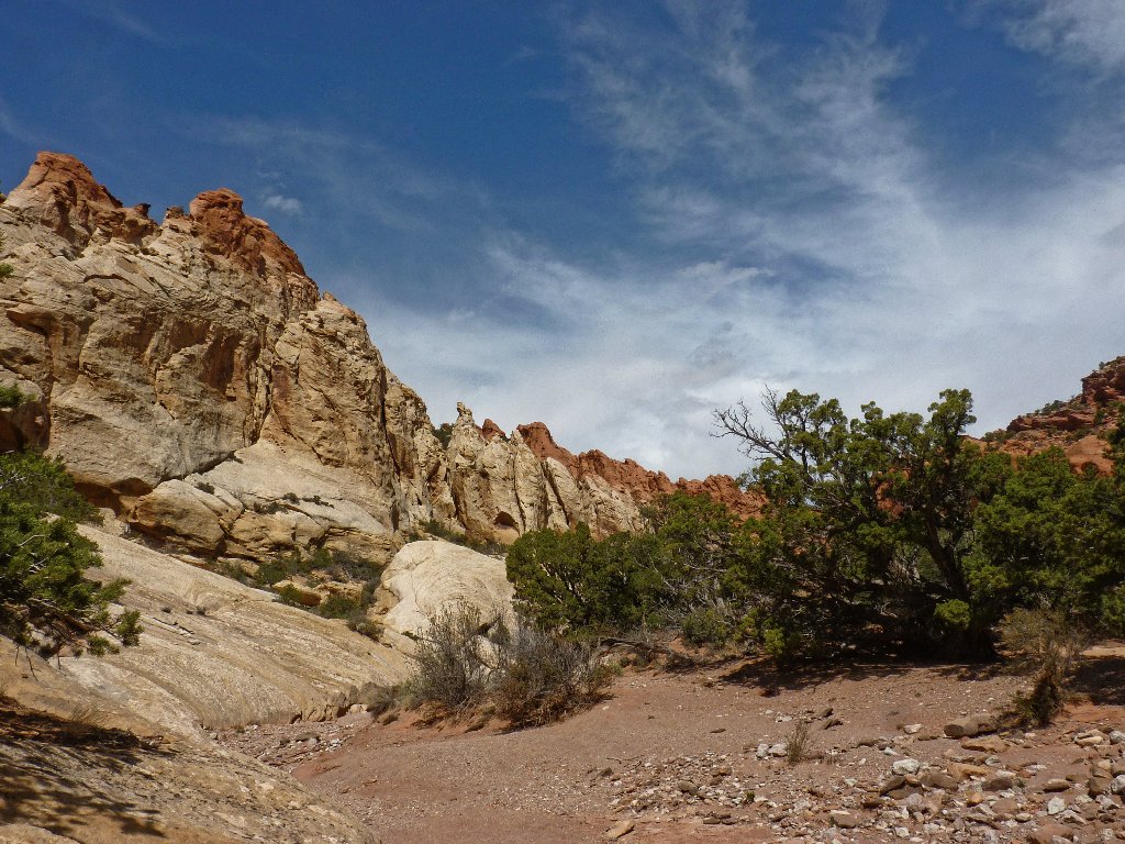
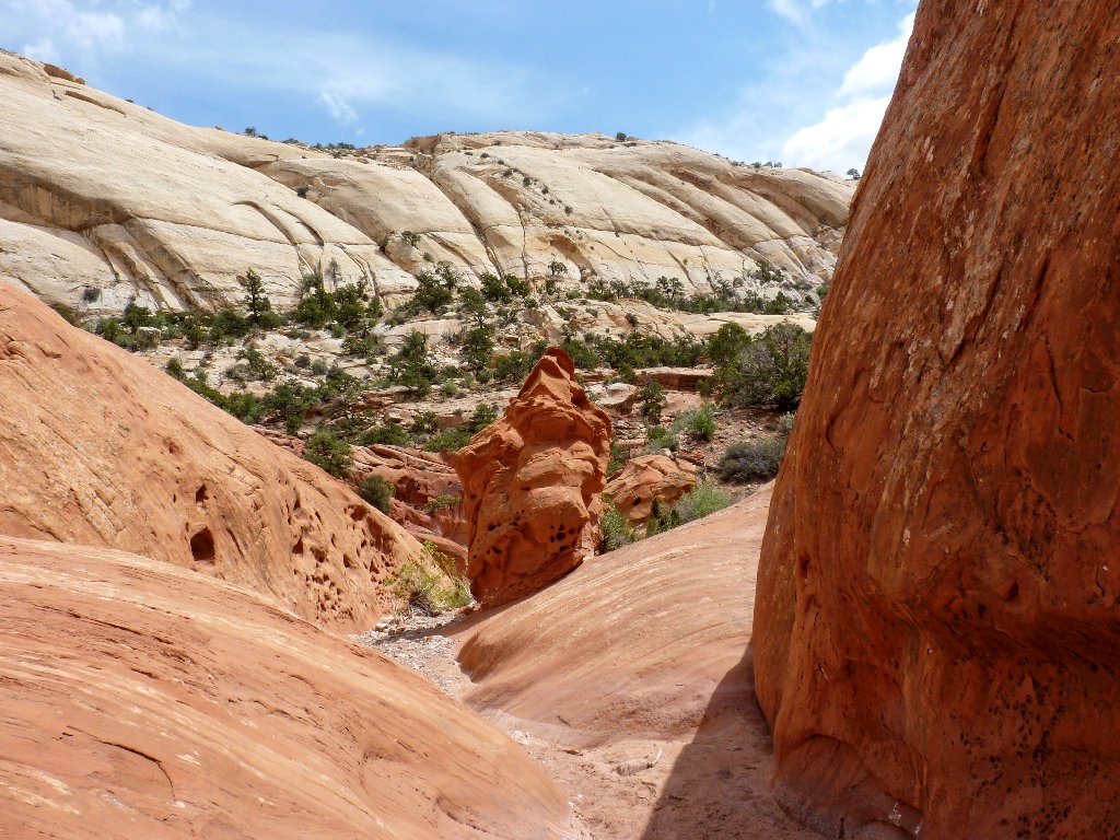
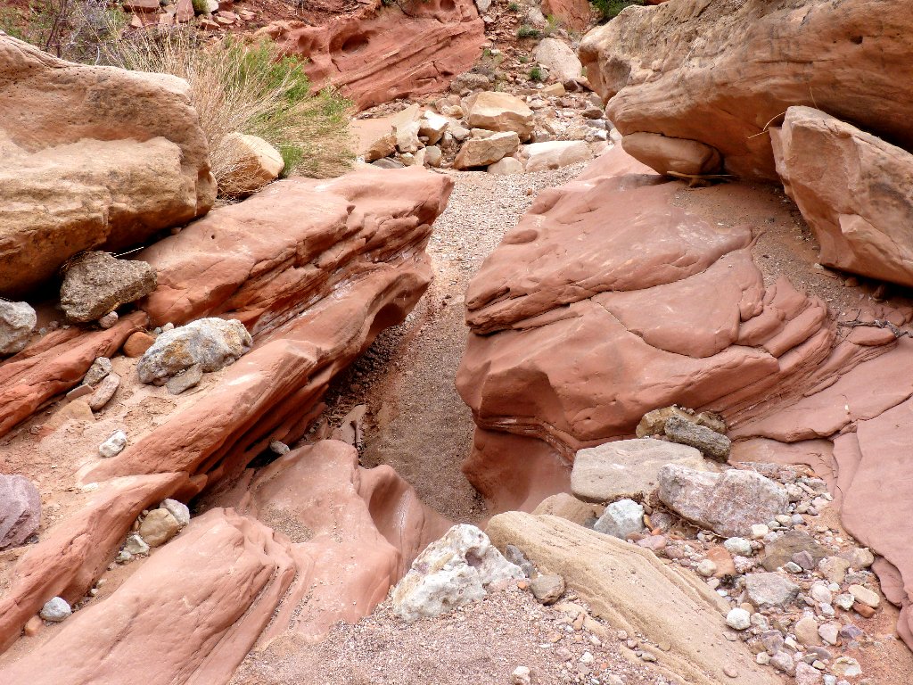
The scenery just gets better
About two miles in, things become even more interesting:

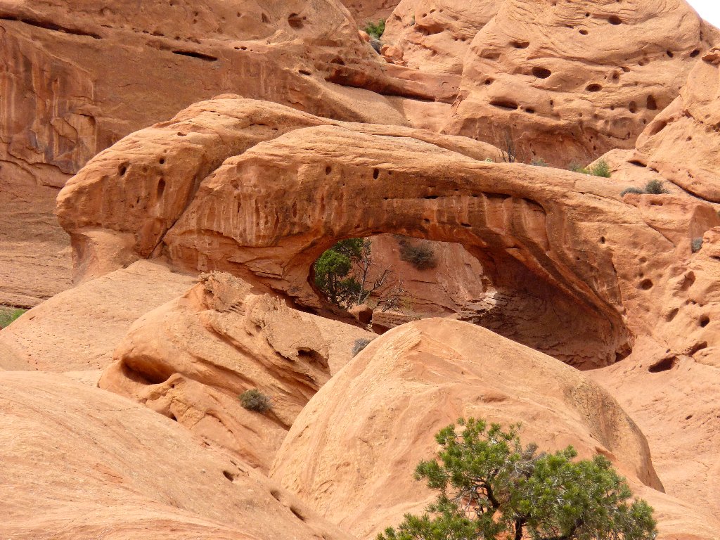
Saddle Arch
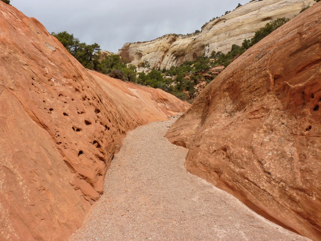
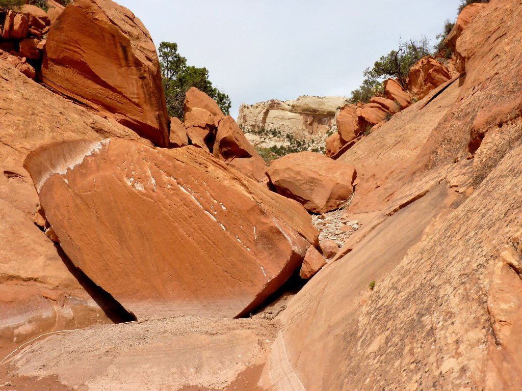
Orange passage
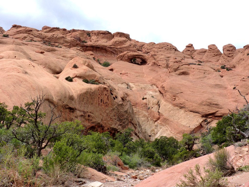
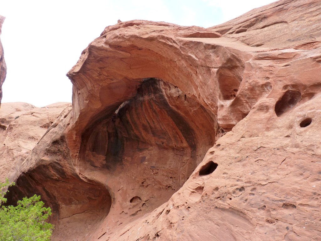
Is that another arch up there?
Yes, it is.
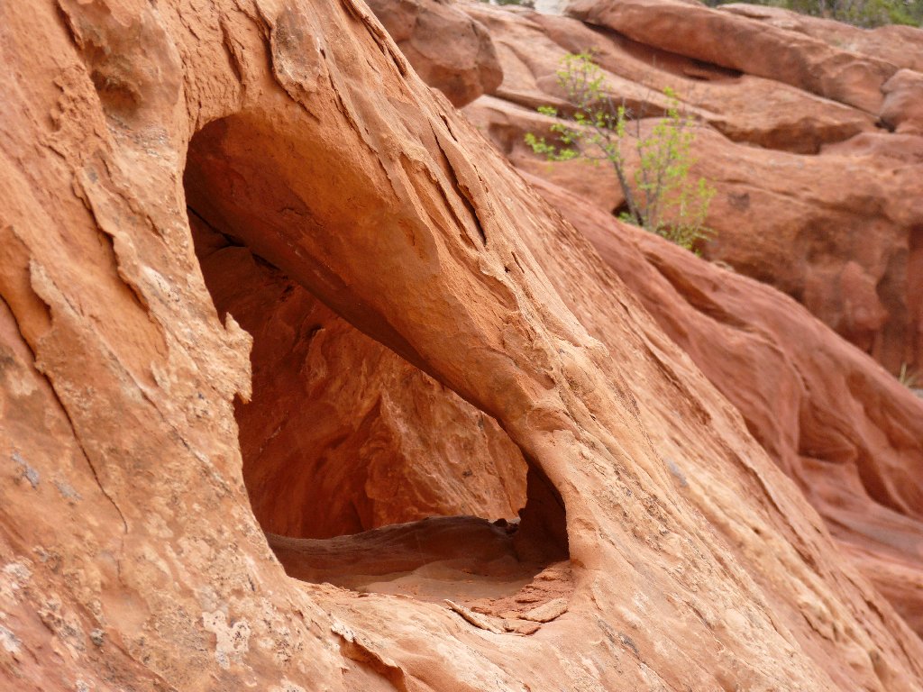
Shy Arch
Wow! That's four major spans already. This place is an
arch-hunter's delight.
One in the making
One already made
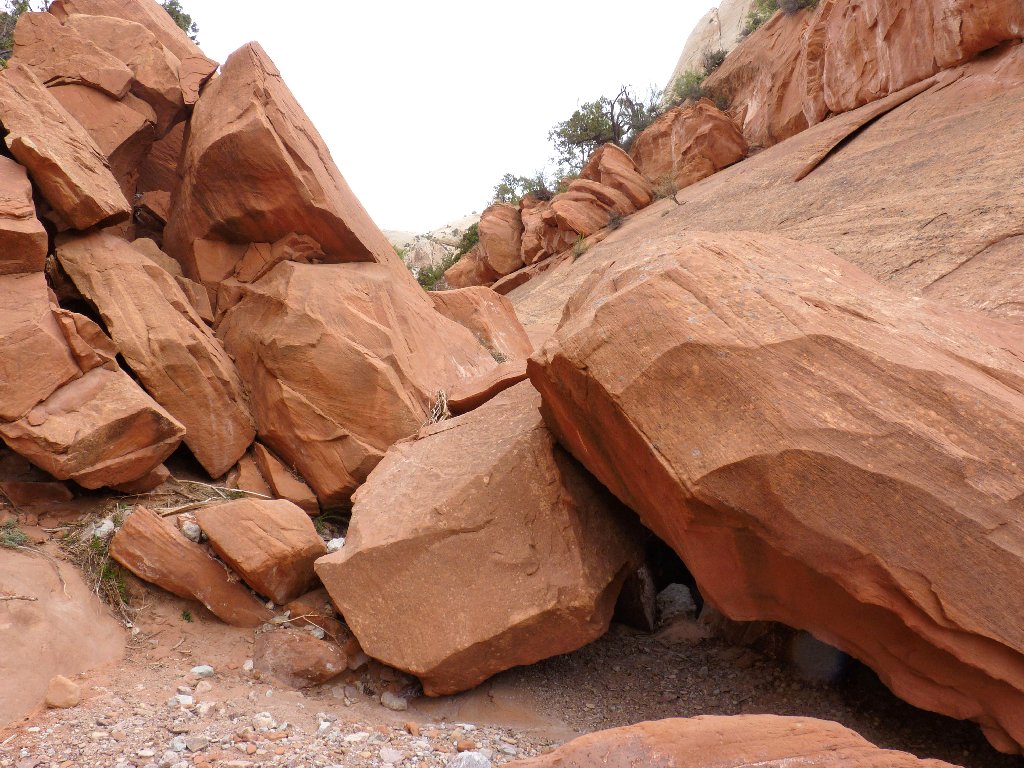
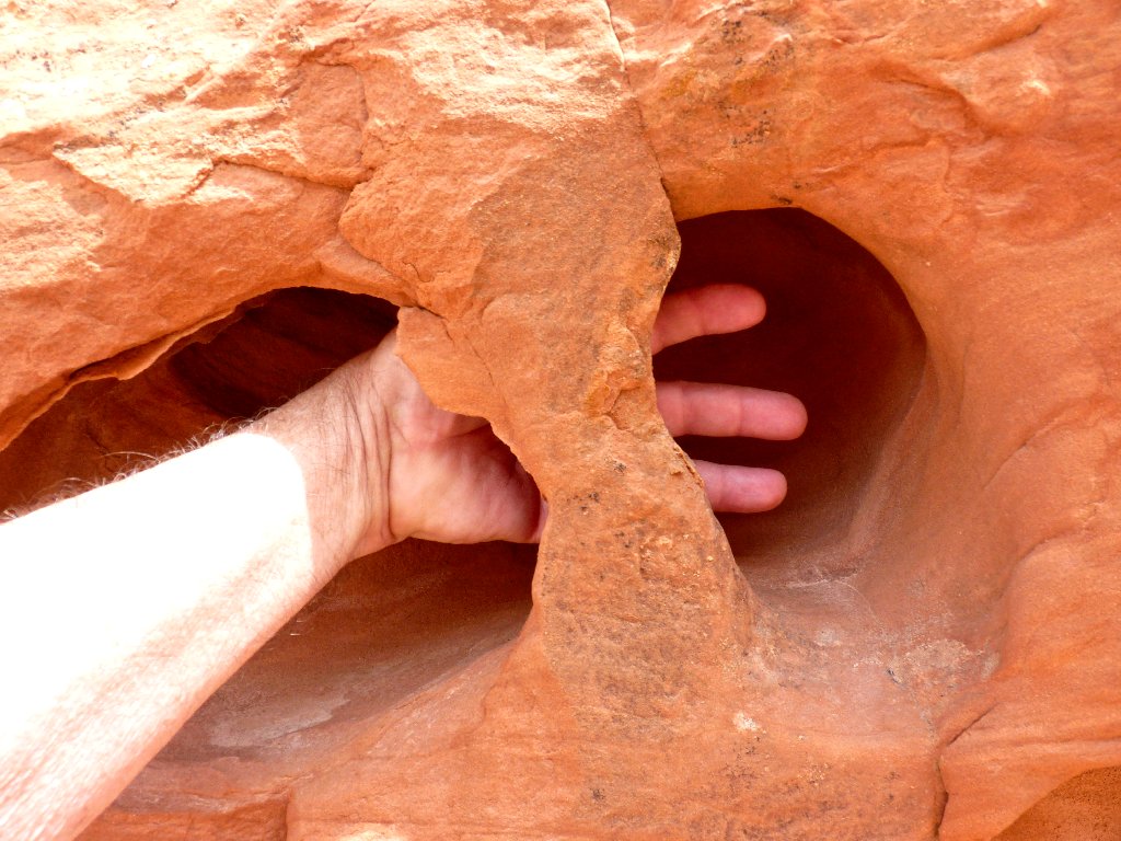
Scrambling required here
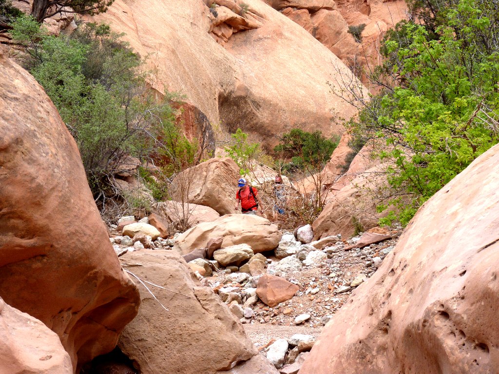
Hello. Another human
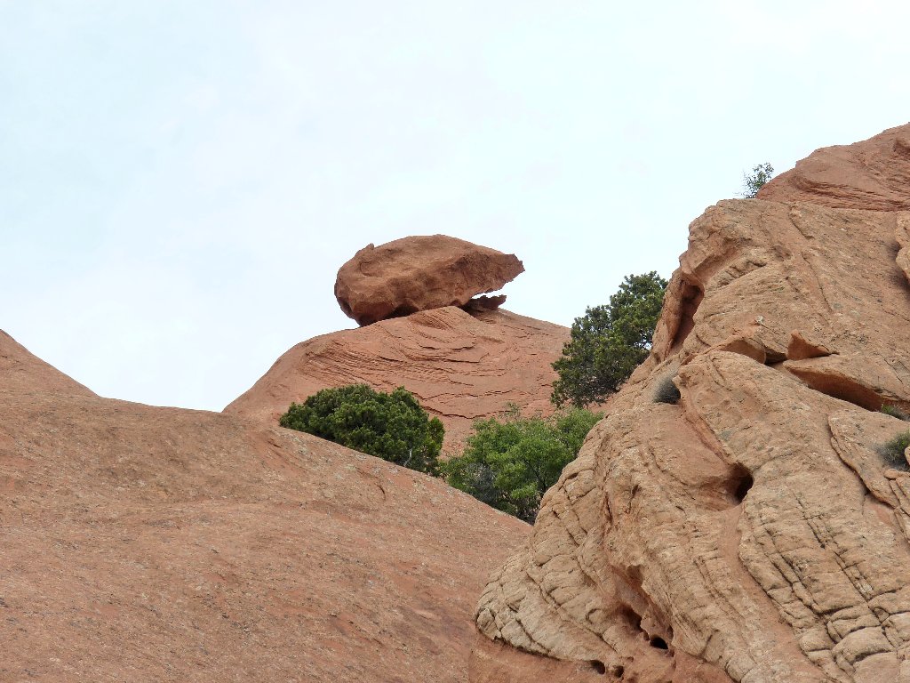
Balanced rock
I have walked nearly four miles. It looks like another arch over there, but I must get right underneath it in order to see the opening.
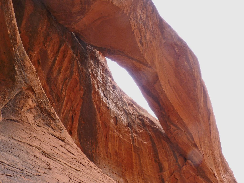
Unnamed arch, #5
This is why I go hiking
This canyon's name was derived from its counterpart, Lower Muley Twist Canyon, which served for a time as a wagon route for Mormon pioneers and was considered contorted enough to "twist a mule".
Just beyond this arch, the route narrows to a slot, where a big chokestone prevents further passage. There is a marked detour around this spot, enabling hikers to continue upstream via a steep climb; but I have ventured far enough for today. I could be mistaken, but I don't believe that any more significant formations are lurking up there.
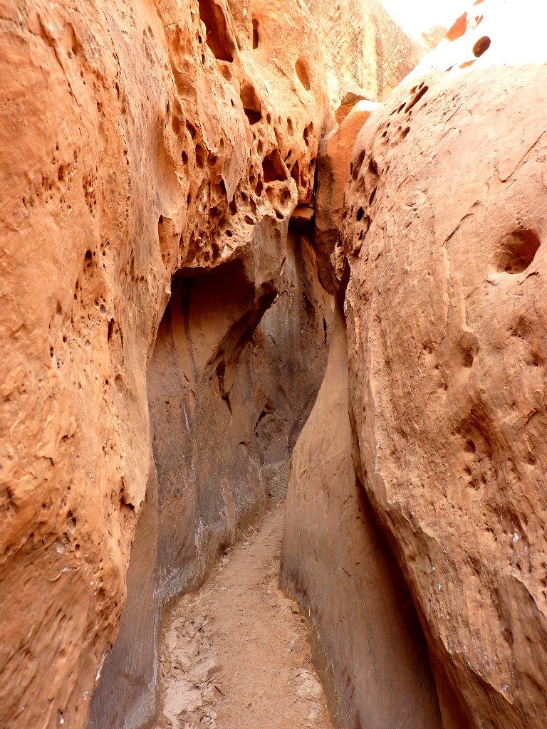
No twisting through here
Continuing another half-mile also would access a junction with an alternative, albeit primitive, loop option in the form of a high trail up on the eastern slope of this canyon. Somehow I cannot generate any interest in that one, yet it is on the map.
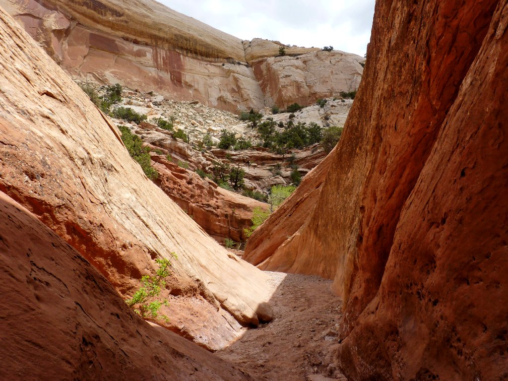
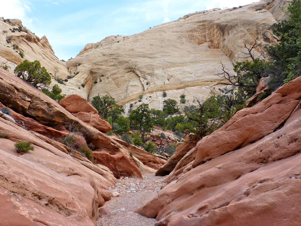
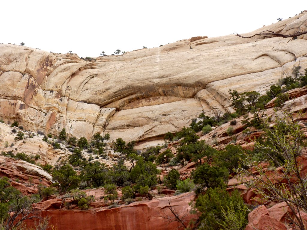
Such a beautiful canyon
Unnamed arch #6
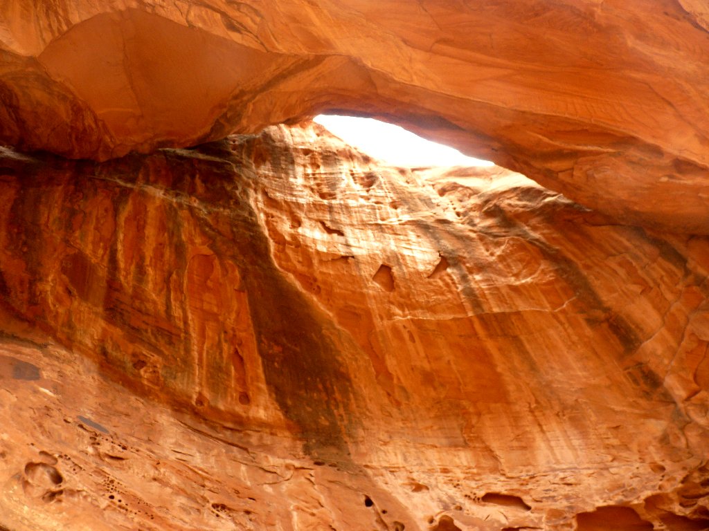
Back at Shy Arch
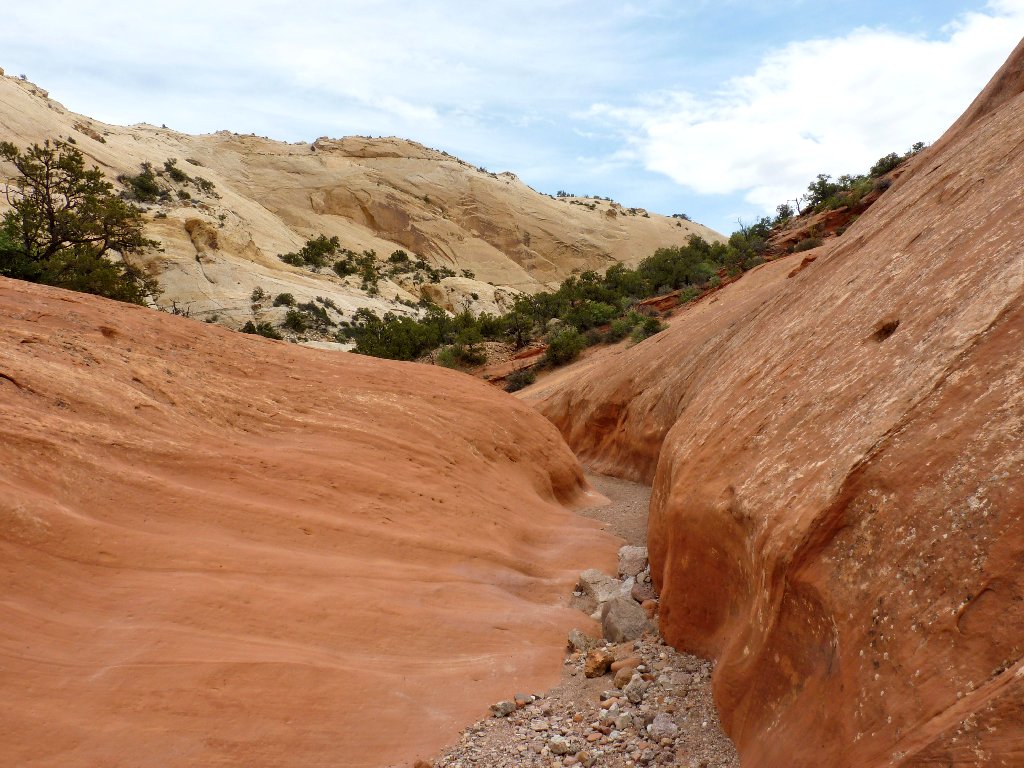
Easy going
Not such easy going
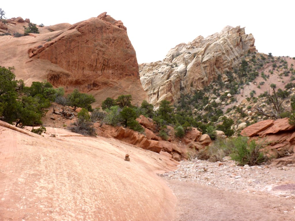
The upper trail comes down here from the left
The sign marking the high route is pretty dilapidated, suggesting that it is not a popular route; but I could be mistaken.
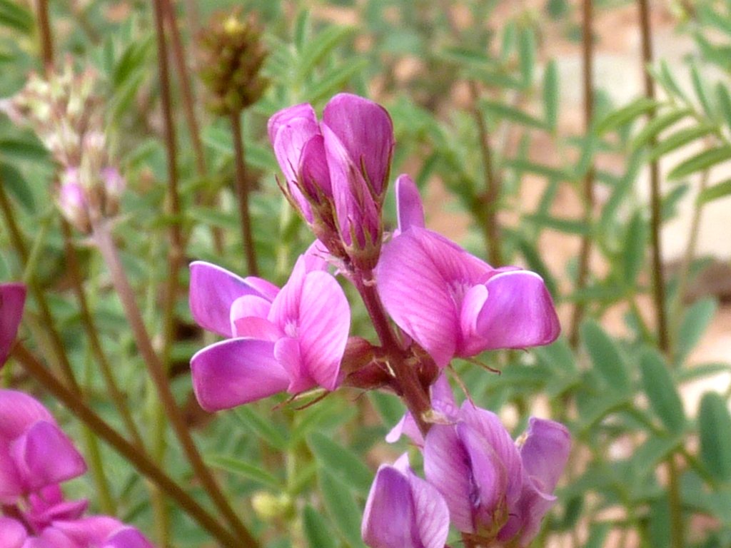
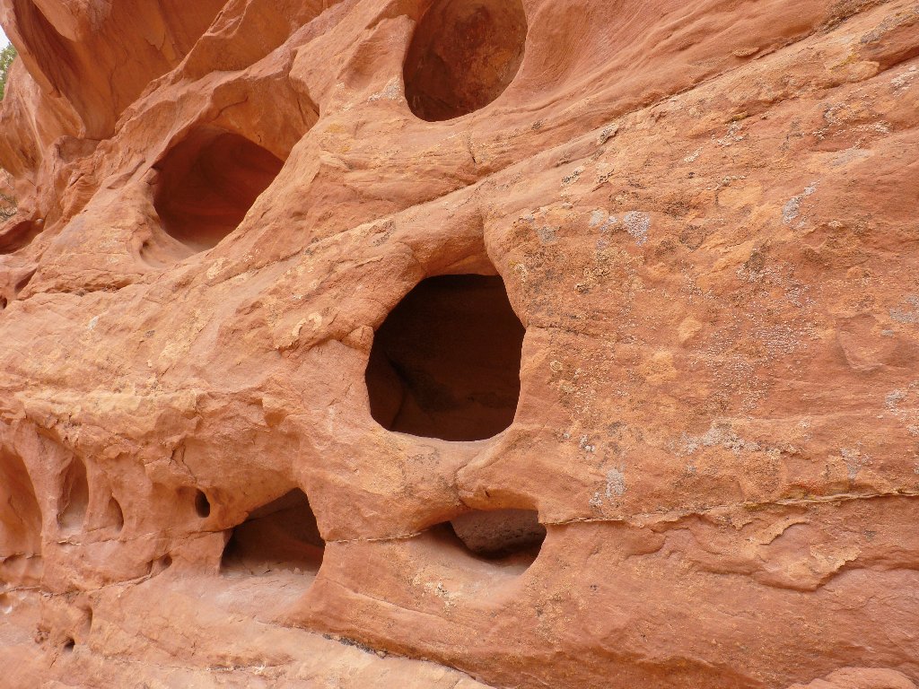
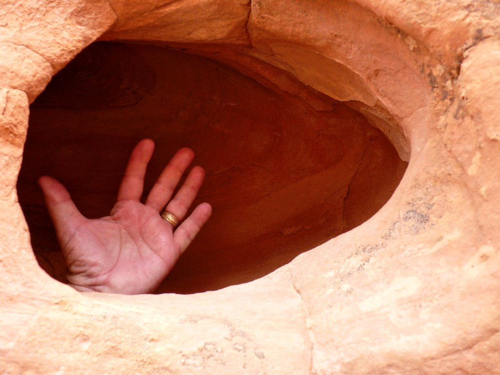
Utah Sweetvetch
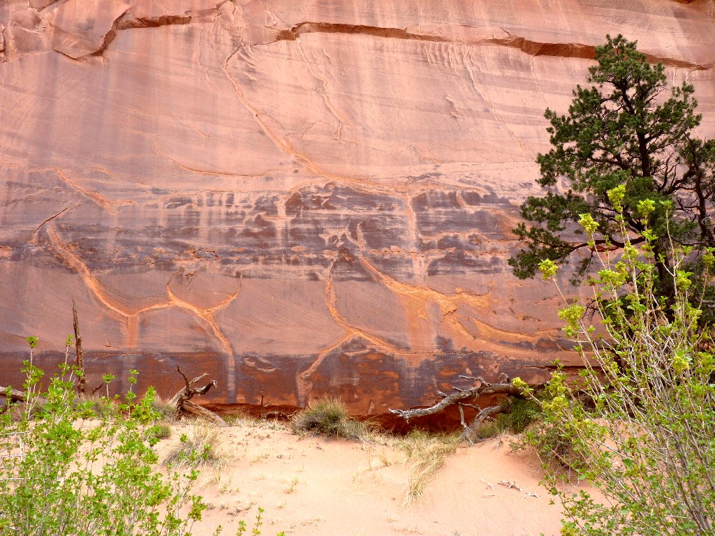
Utah sandstone
I pause to chat with the only hikers I encounter on the return route:
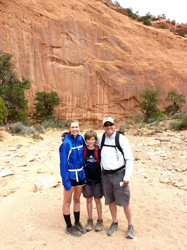
Charlotte, Will, and Tim from Denver
Did someone hail a cab?
Last lap
End of a beautiful hike
From here I continue down through Burr Canyon to Strike Valley, then north
up to Highway-24 and westward to Torrey, where all the motels are.
The dugway features some 180-degree hairpin turns
§: Red rocks, yellow rocks, white rocks — this incredibly
scenic canyon has it all. I believe that I missed a couple of arches,
too. I am going to like my time in this park.
| Scenery |  |
| Difficulty |  |
| Personality |  |
| Solitude | |
