
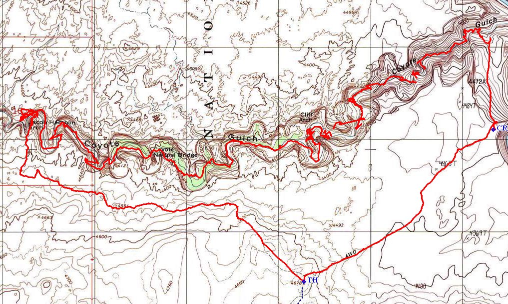
Grand Staircase-Escalante NM
|
Coyote Gulch Grand Staircase-Escalante NM |
April 17, 2014
This is the big day. Despite extensive research, I remain somewhat
anxious about the rigors of the selected route. One can put only so much
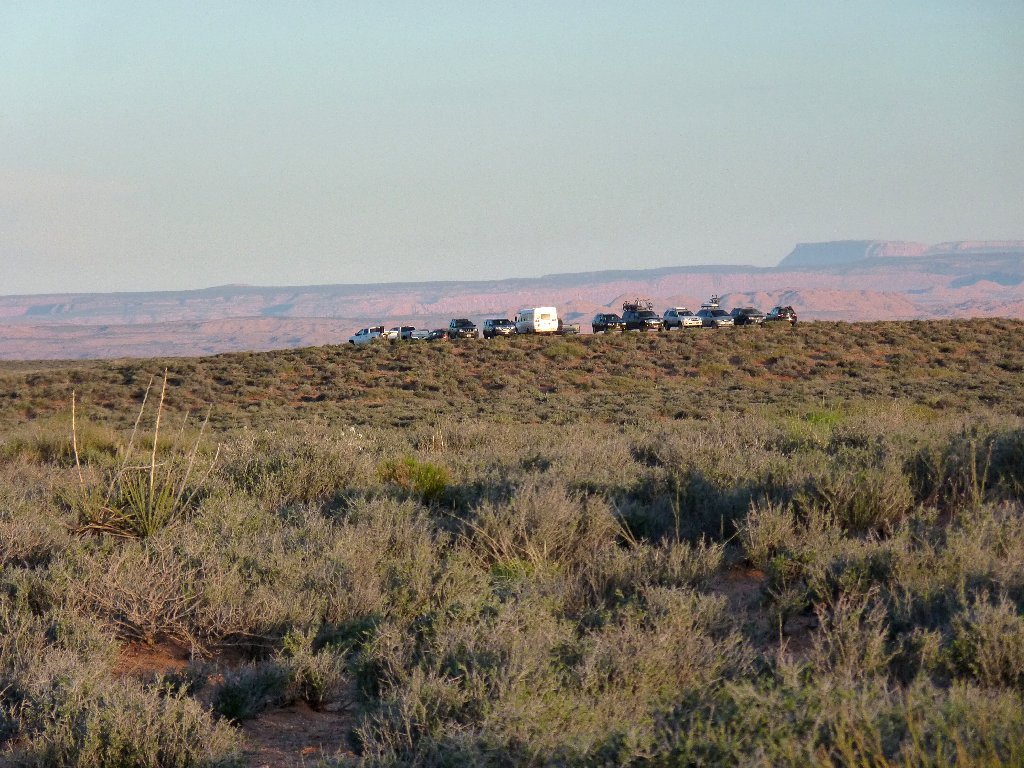
faith in other writers' comments. It takes my car three hours to reach
the trailhead, where there are plenty of other vehicles but no other hikers at
ten o'clock. The last (optional) mile of road features some moderately
deep sand that proves a non-issue in my Outback, but which would be
problematical for a low-clearance vehicle.
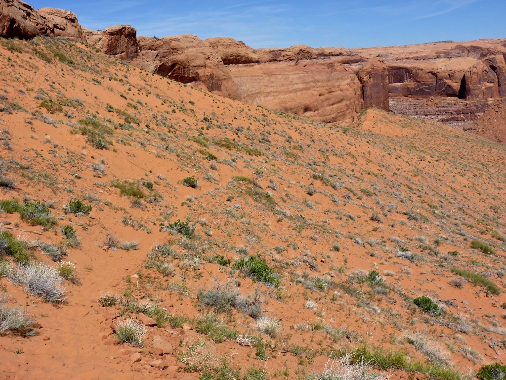
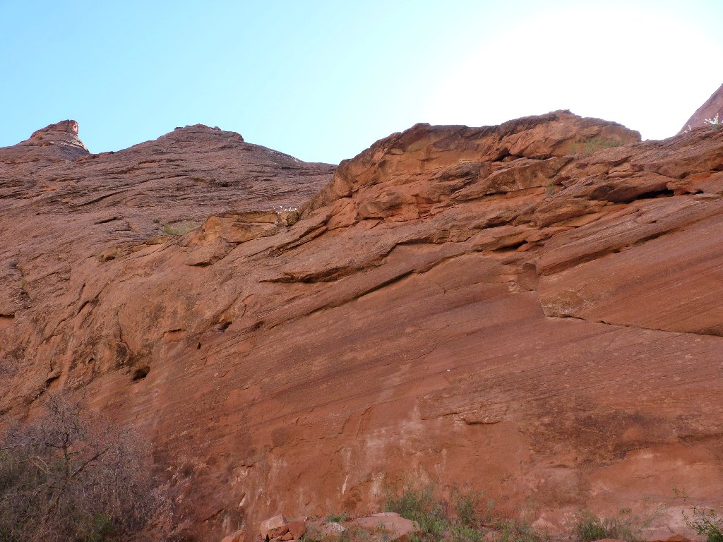
En route to the trailhead
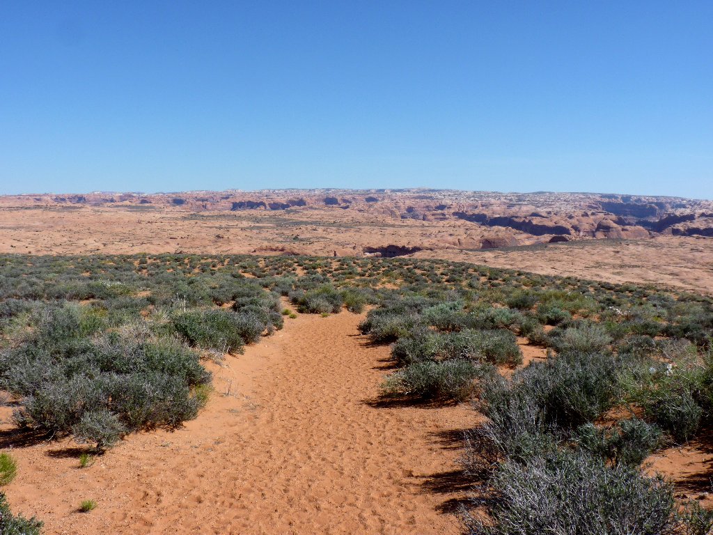
En route to the gulch
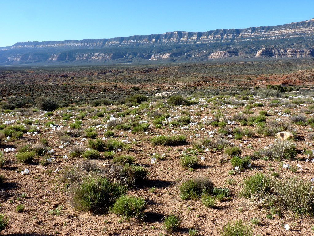
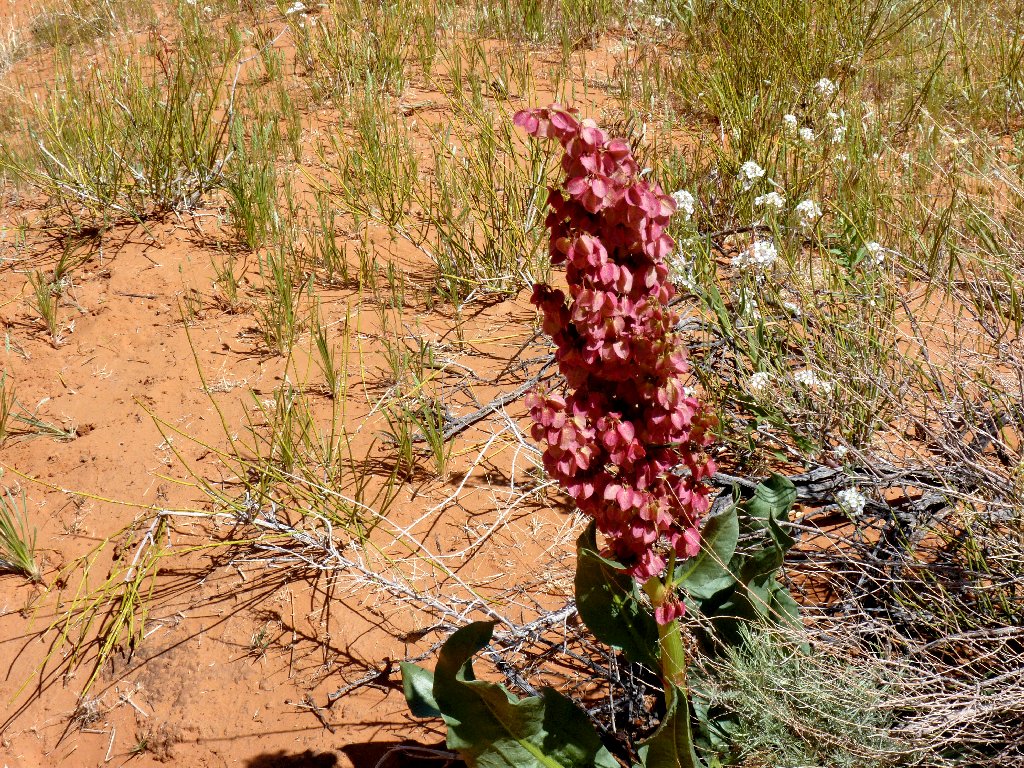
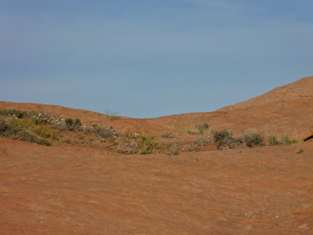
At least the weather is perfect. This is the first cloudless day of my trip so far, and thousands of white flowers in the desert seem to be celebrating.
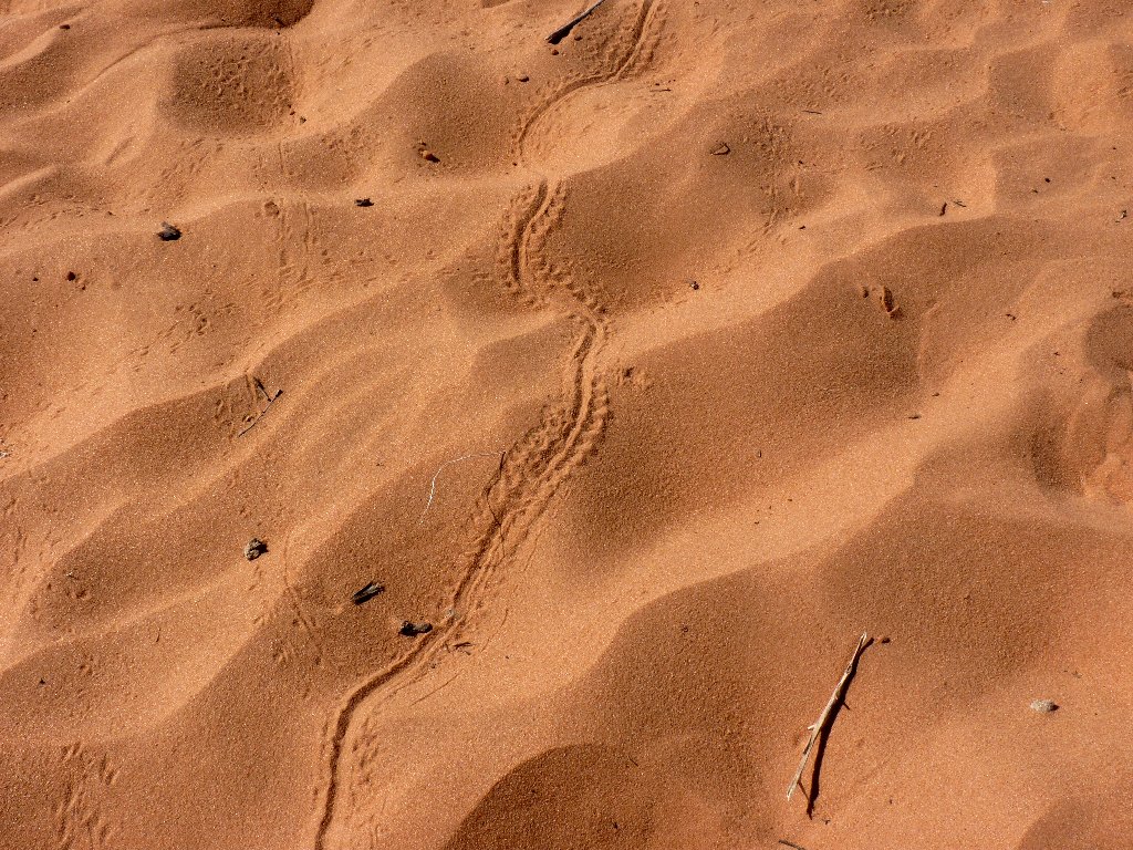
A lizard is my guess
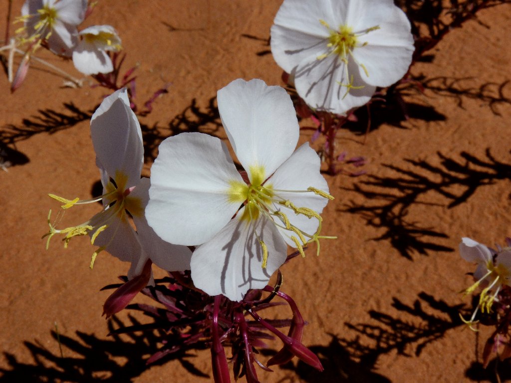
Tufted Evening Primrose
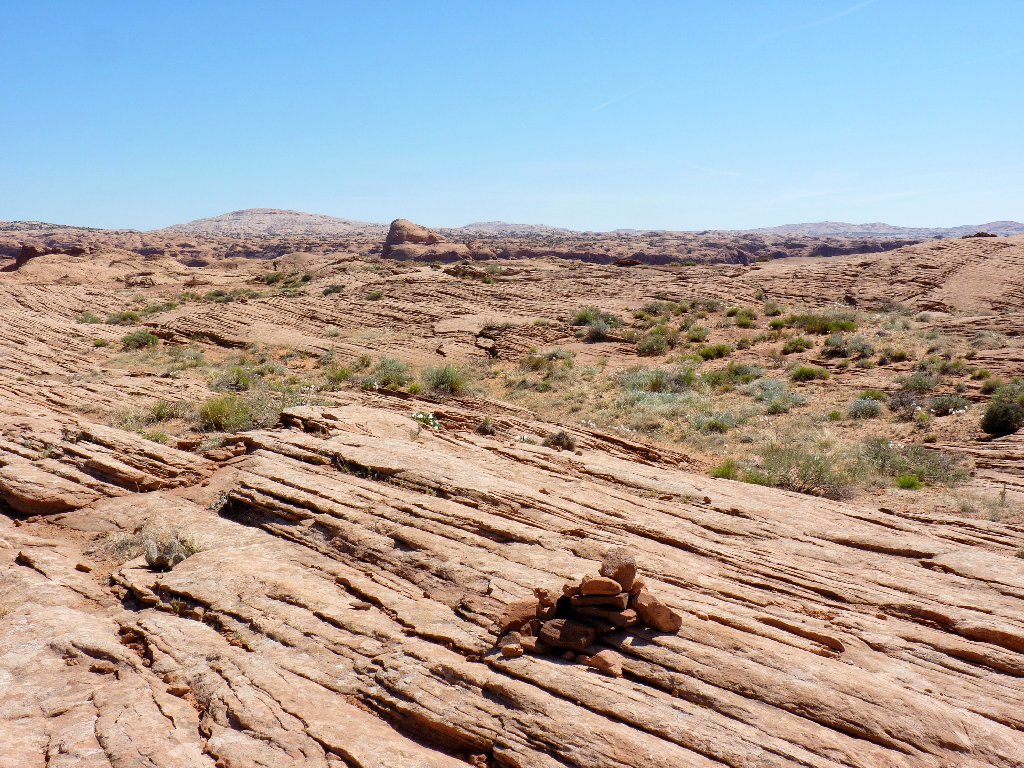
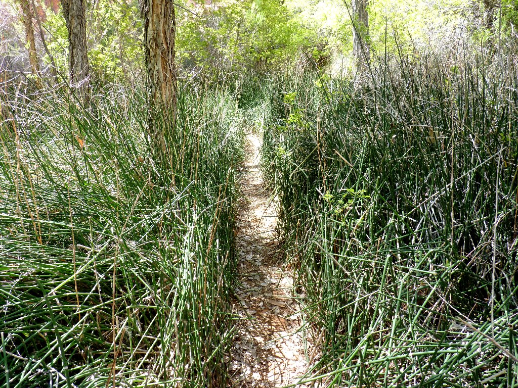
The route is adequately marked by cairns
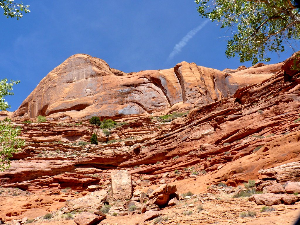
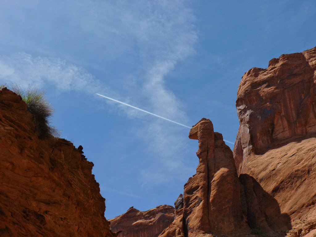
In a quick two miles, I reach the edge of the canyon and the first challenge.
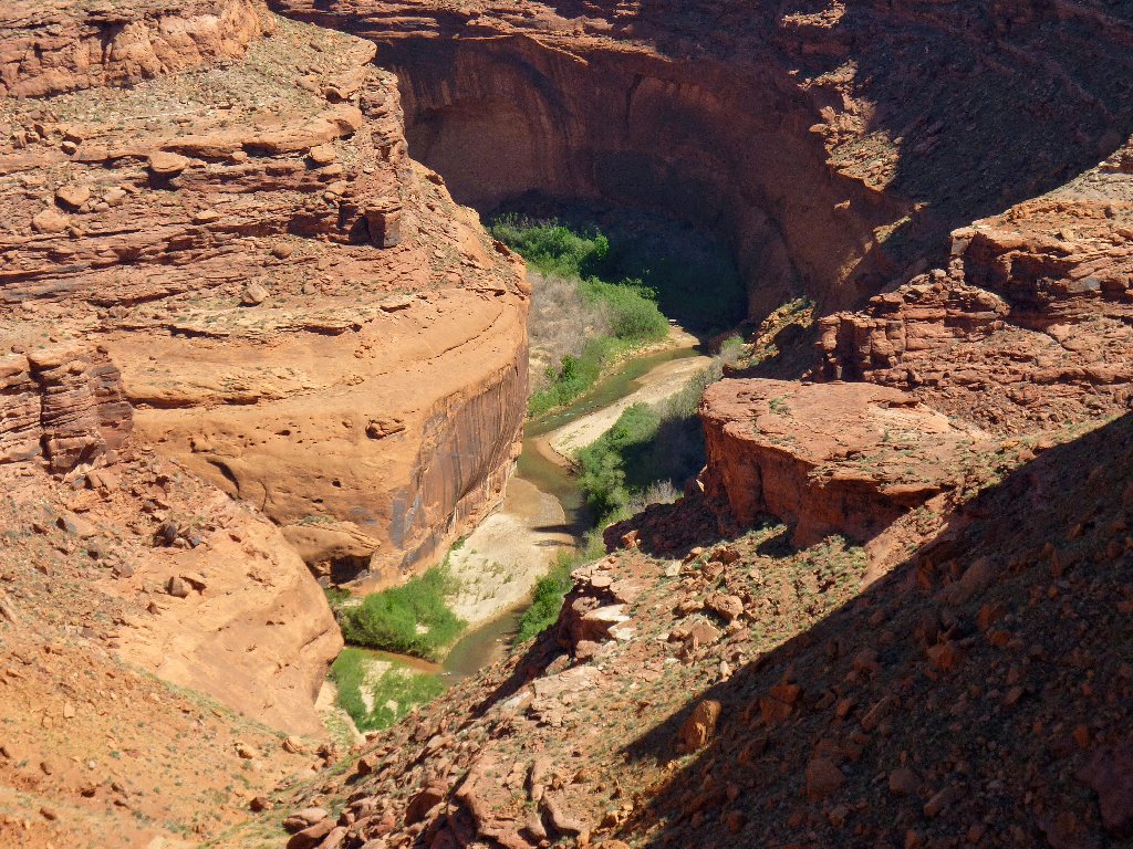
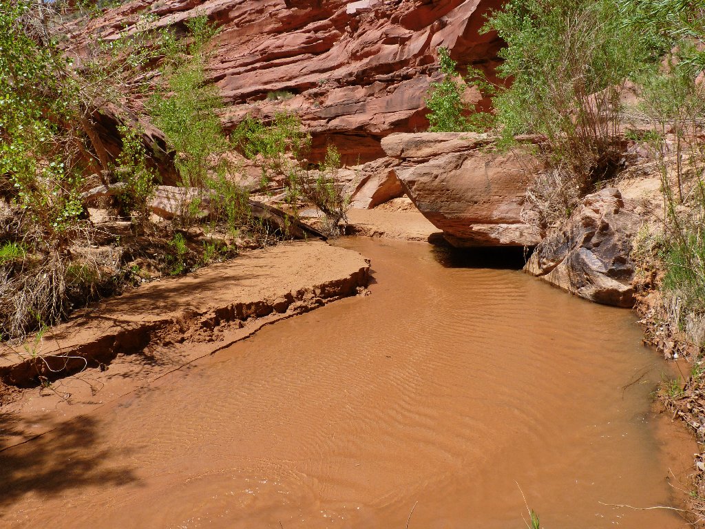
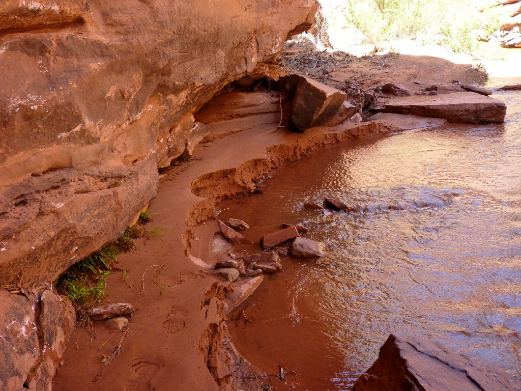
The Escalante River at the mouth of Coyote Gulch ⇔⇔
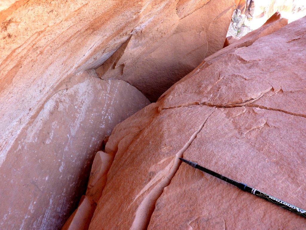
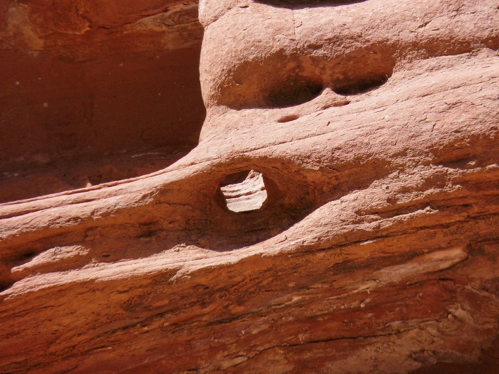
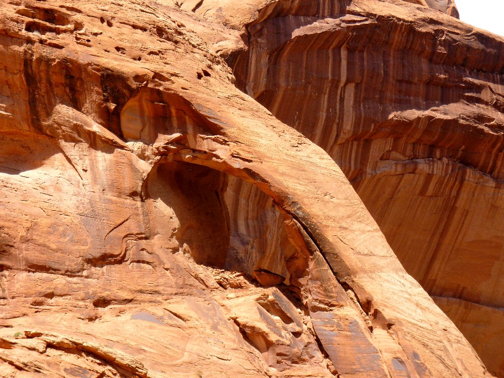
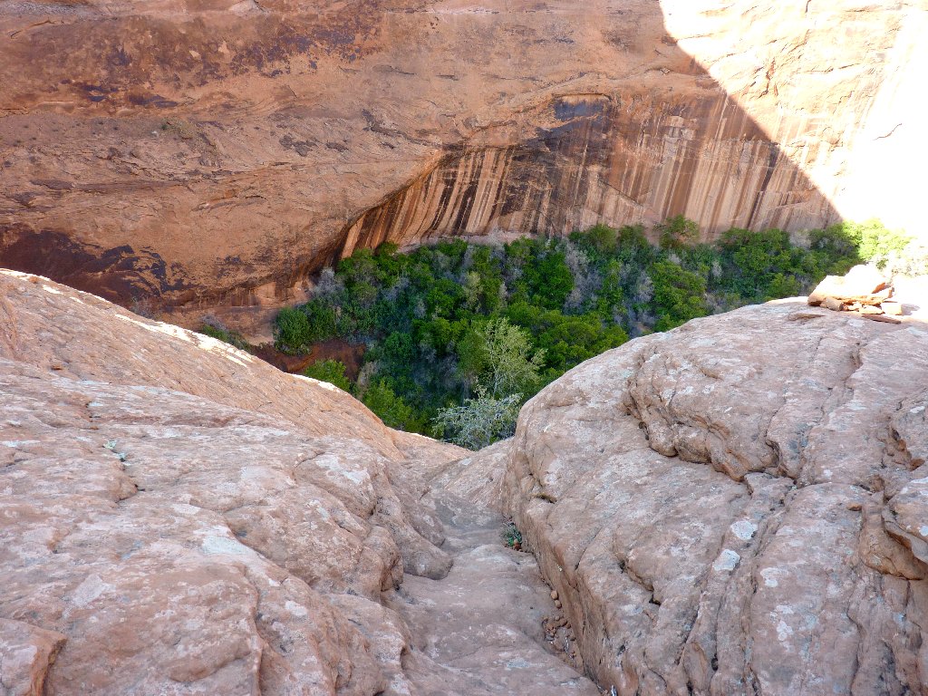
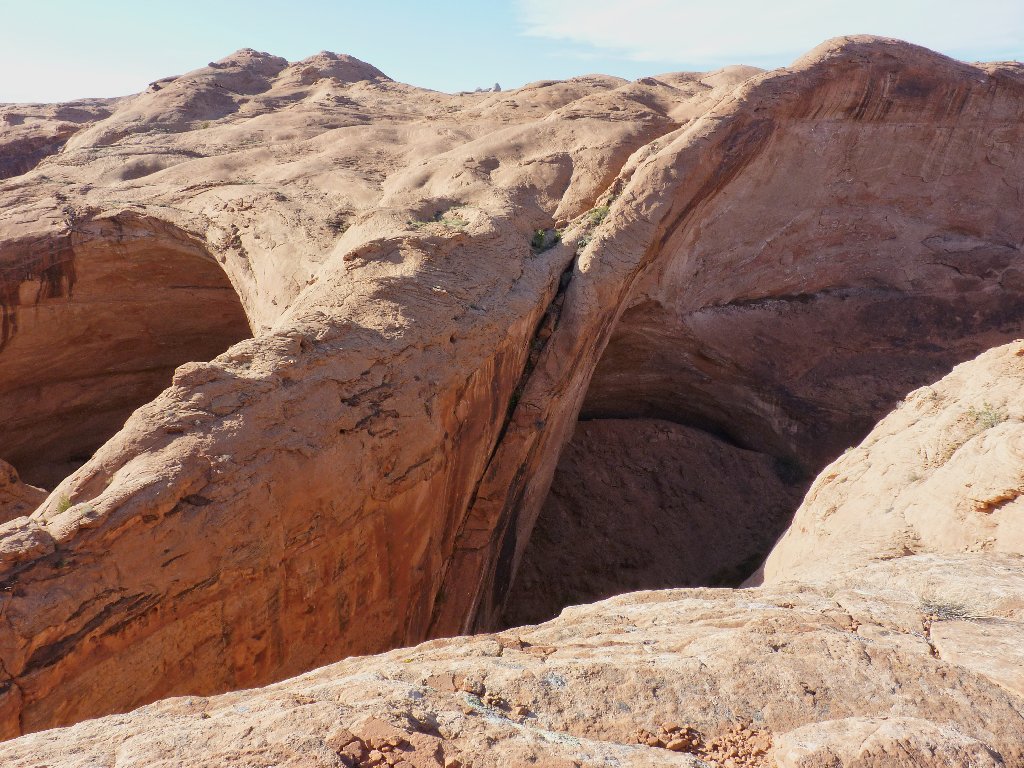
Somewhere around here is an alleged magical passageway to the river below, consisting of fractures in the rock.
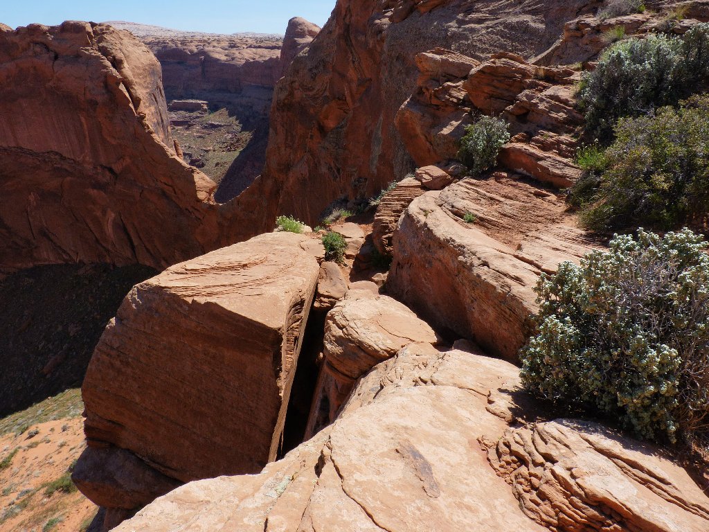
Is that it?
Maybe it's over there?
No, all the boot prints lead to this spot.
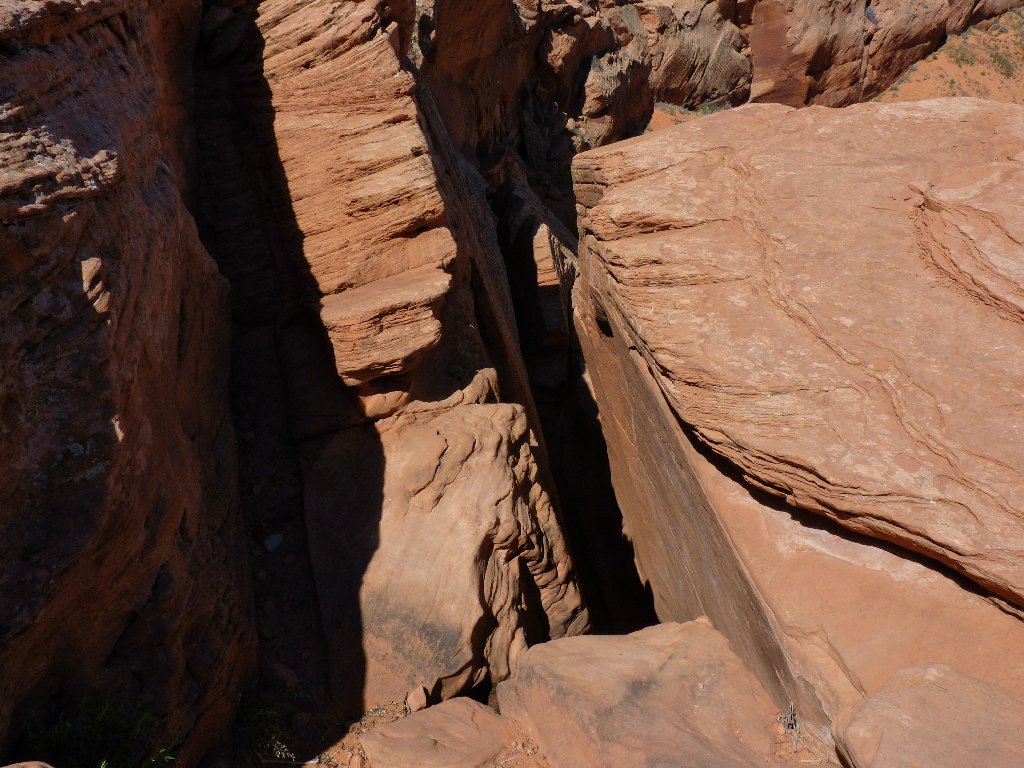
Crack In The Rock –aka– Crack In The Wall
There might be some helpful footholds, but it is so dark down there.
What I can see is that it is a good 6-foot drop to the sand at the
bottom of the crack. Leaving my pack at the top temporarily, I gingerly
lower myself into the darkness while holding onto anything I can until a toe
contacts something solid. Being tall does have its advantages.
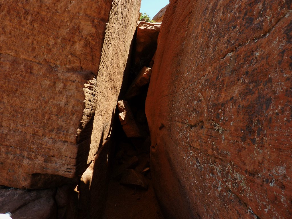
That wasn't so bad, and now I can see that there were some footholds after all
Next comes a tight squeeze that my 34-inch waist handles without a problem; but for anyone much wider, a passage could be impossible. (Be forewarned.)
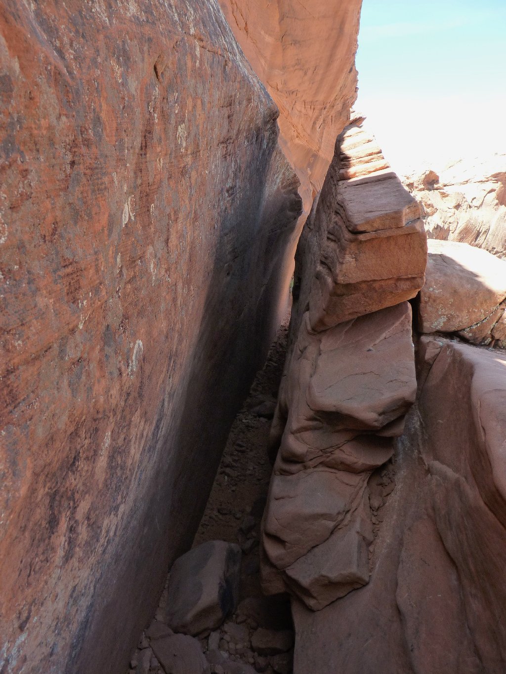
Junk-food addicts might need to hike elsewhere
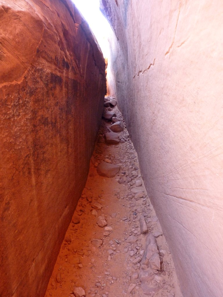
It's not over yet; there is more work to do.
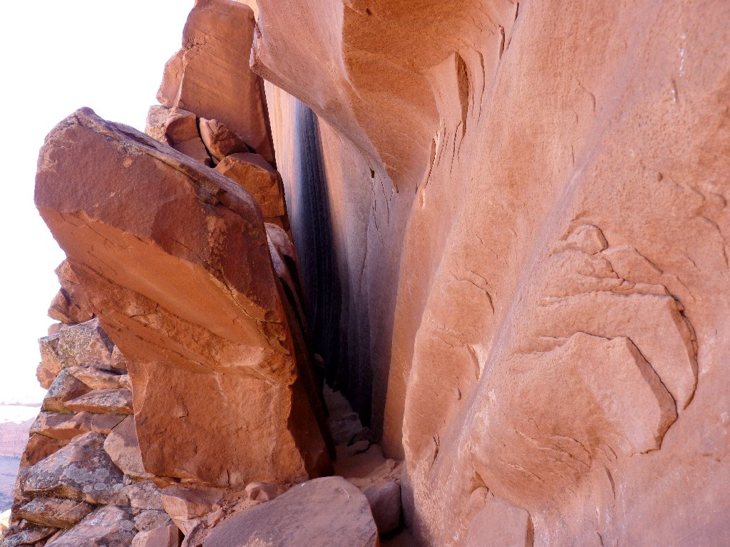
A minor hands-and-knees scramble leads to another thin crack
Wow! That was a quite a special passage; I wouldn't want to have missed it. Backpackers coming this way might do best to raise or lower their big packs by rope, perhaps as much as forty feet, because they might not fit through the slots. (Be prepared.) I was able to carry my little daypack in one hand.
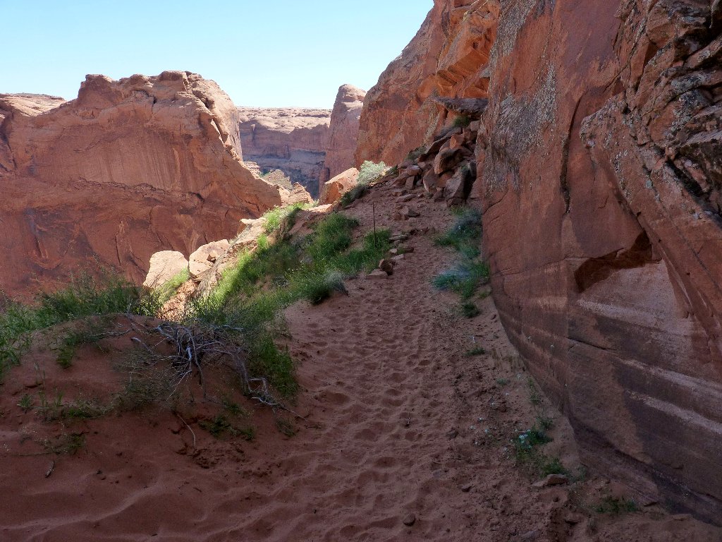
Back on Terra Softa
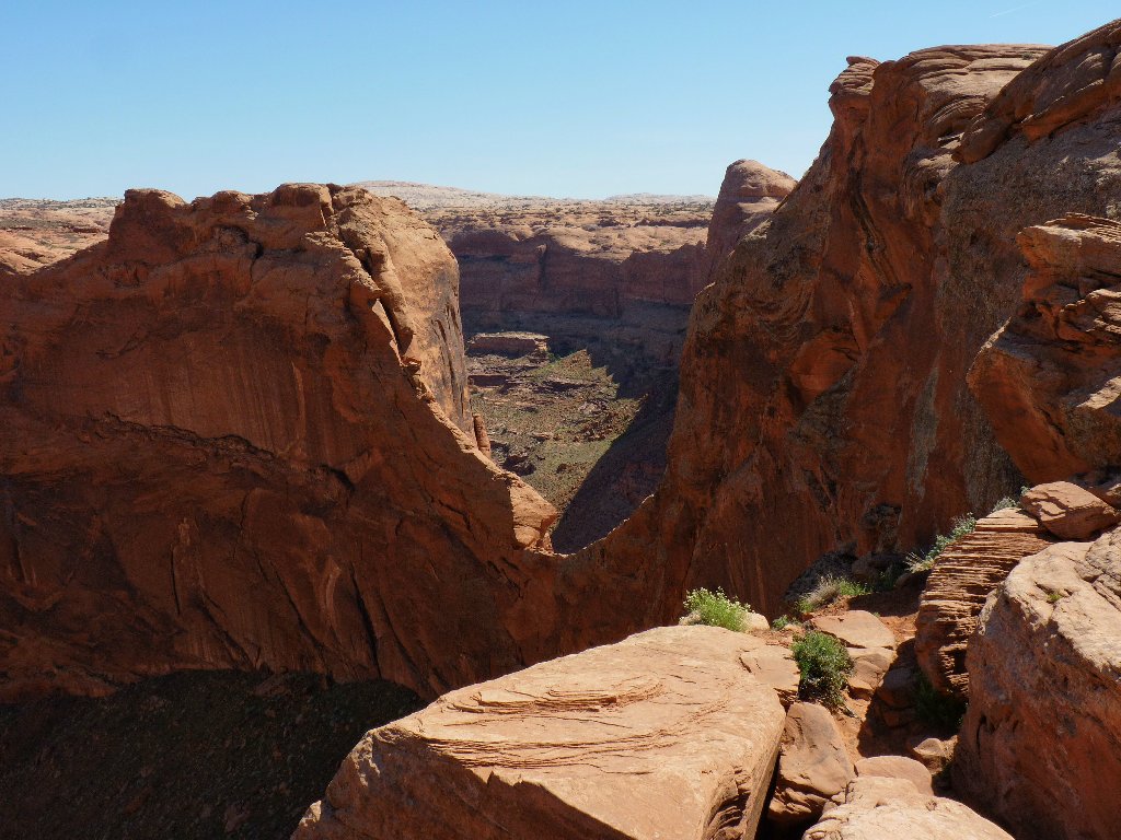
Looking back at The Crack
Looking ahead to The Gulch
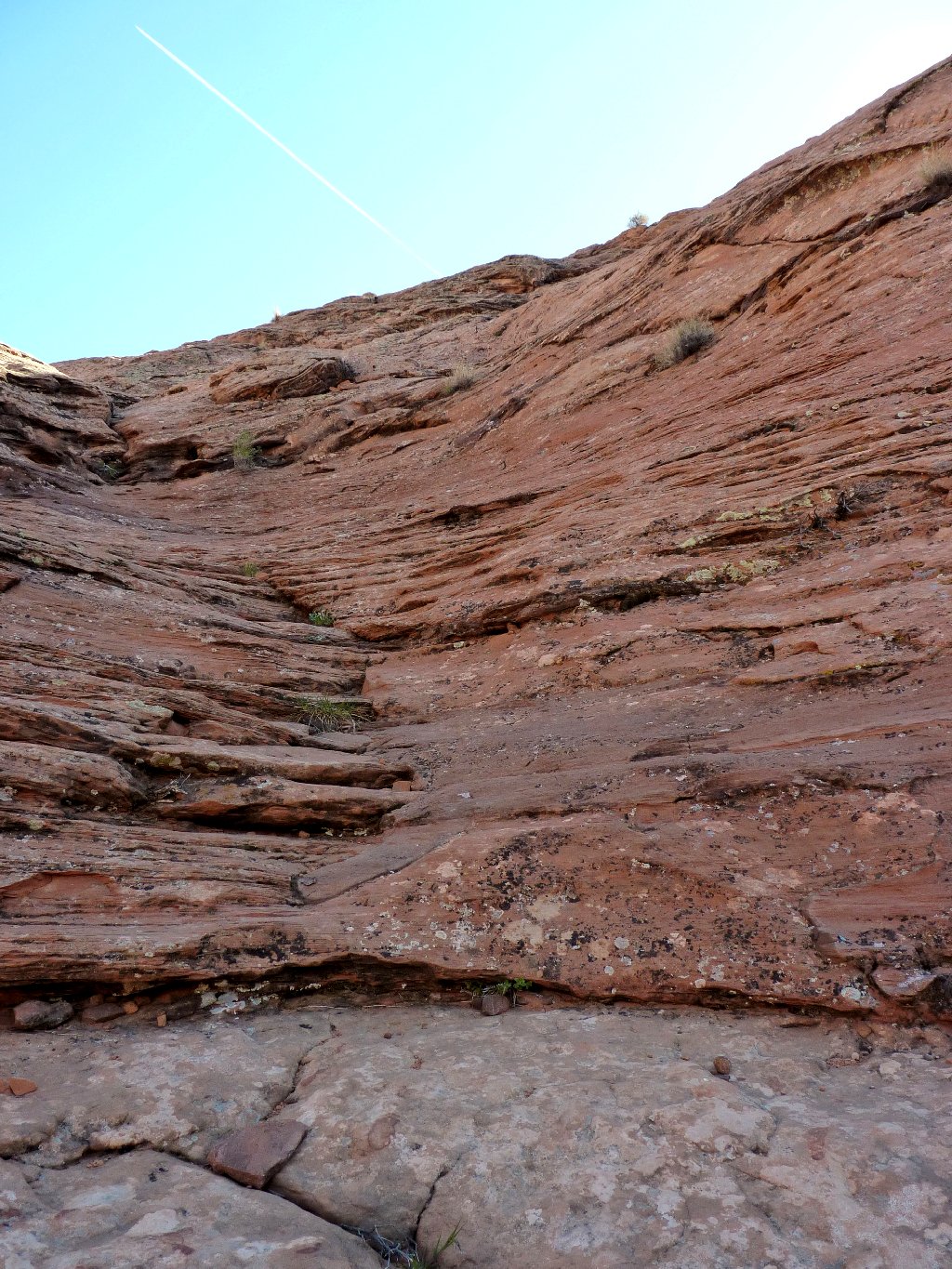
The upcoming sandy slog drops 700 feet; doing it uphill with a backpack in
mid-summer could prove quite taxing. Of course, I never would be
here myself except in April or October when it is not too hot.
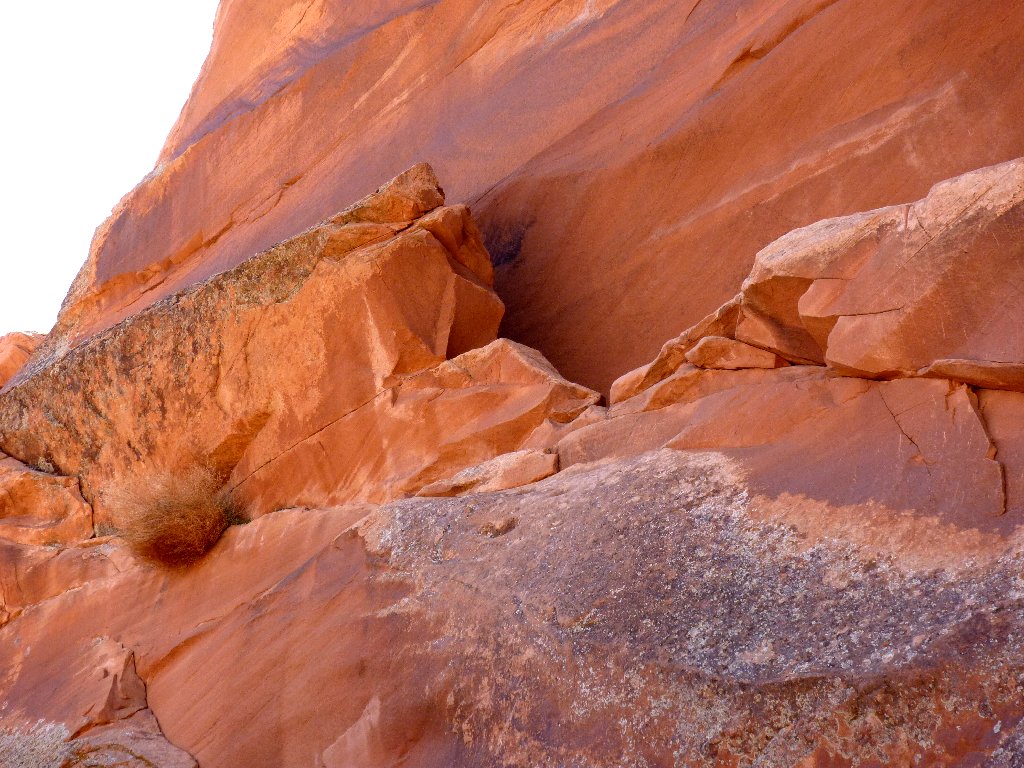
Canaigre Dock
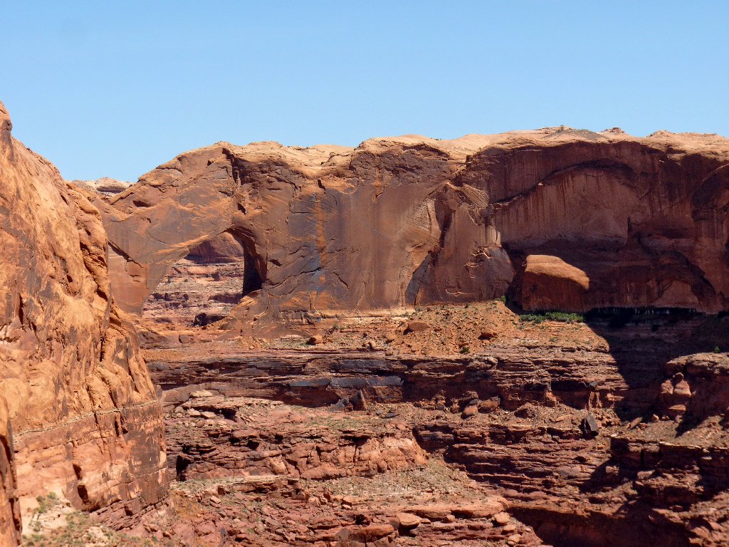
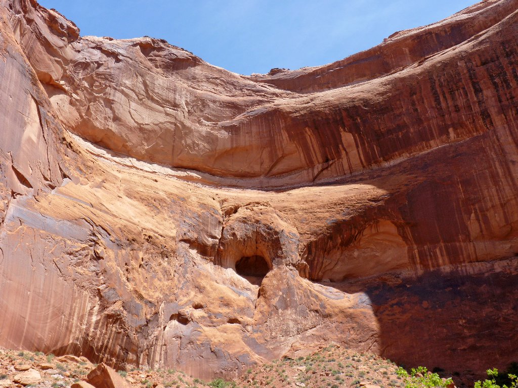
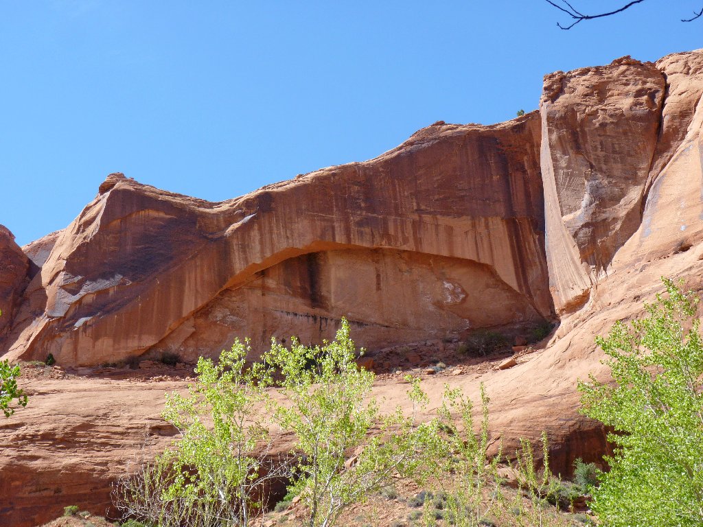
Is that an arch over there?
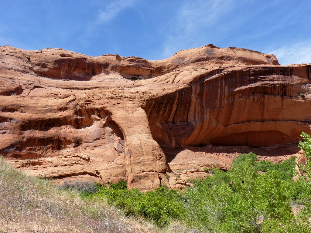
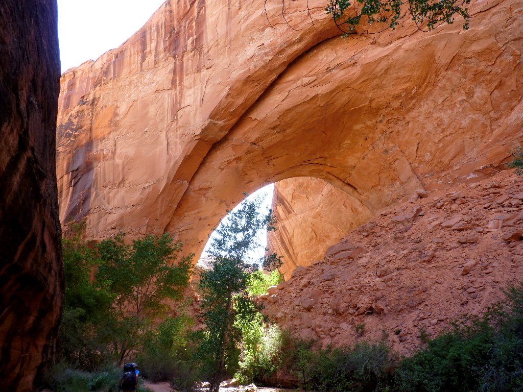
Yes, there is a huge hole in the sandstone cliff. Hiking farther down the slope puts some sky in the opening:
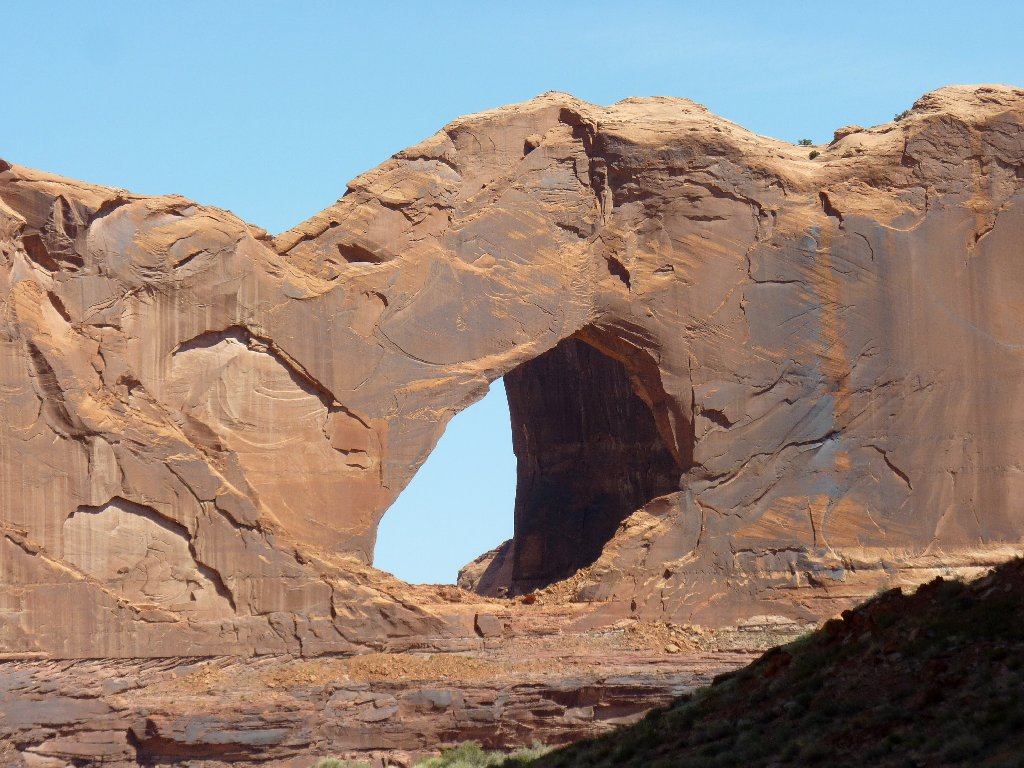
Stevens Arch — one of the ten biggest in the world
at 220' × 140' ⇔⇔
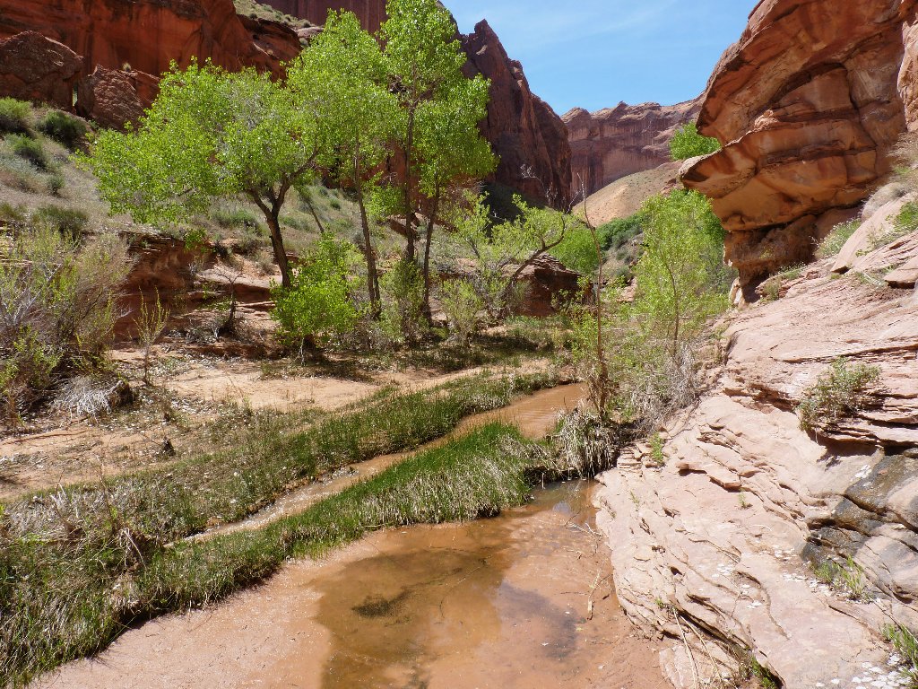
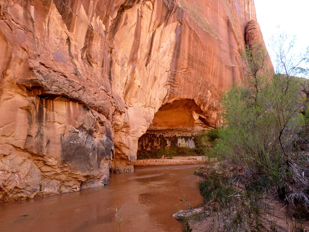
After passing a lone hiker who also had come down the Crack Route and intends to return the same way, I find myself entering the gulch proper, where pictures can say a lot more than words. I will just let the camera do most of the talking for a while.
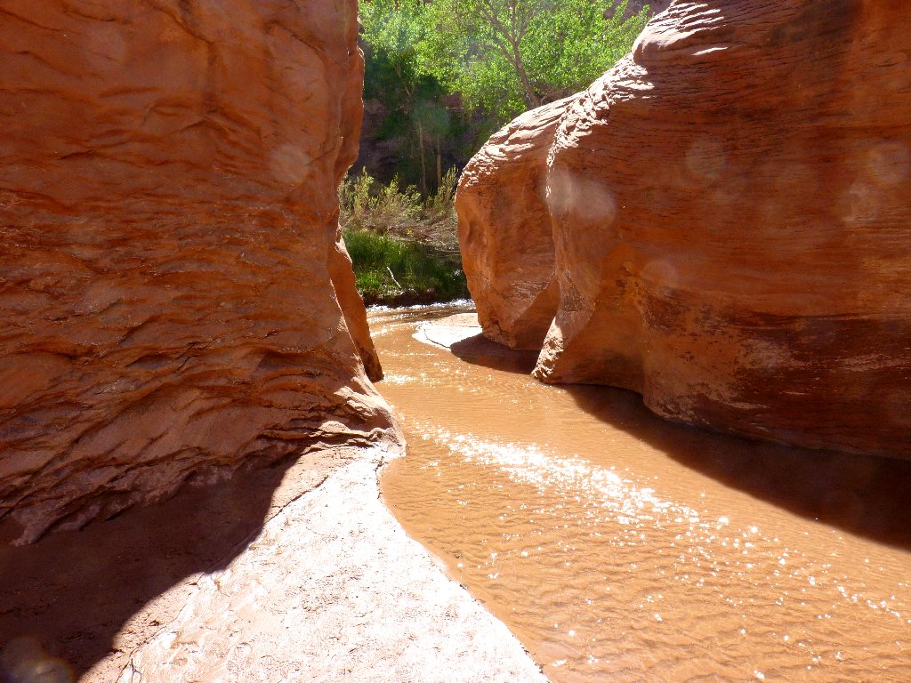
Into the canyon at last
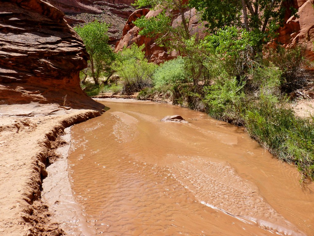
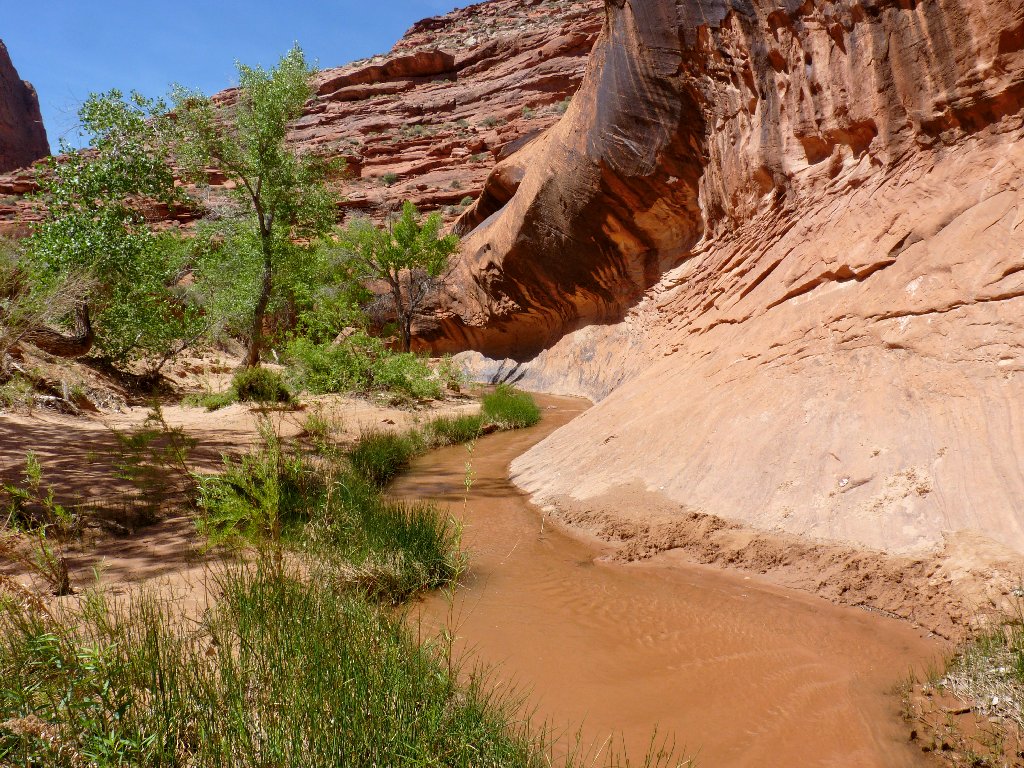
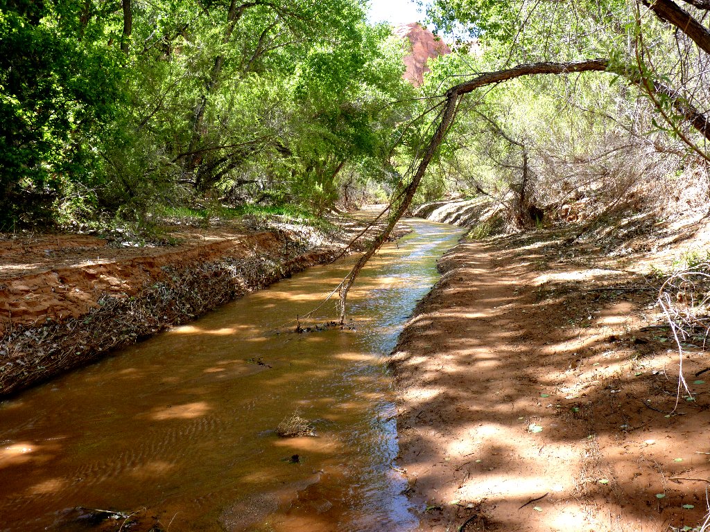
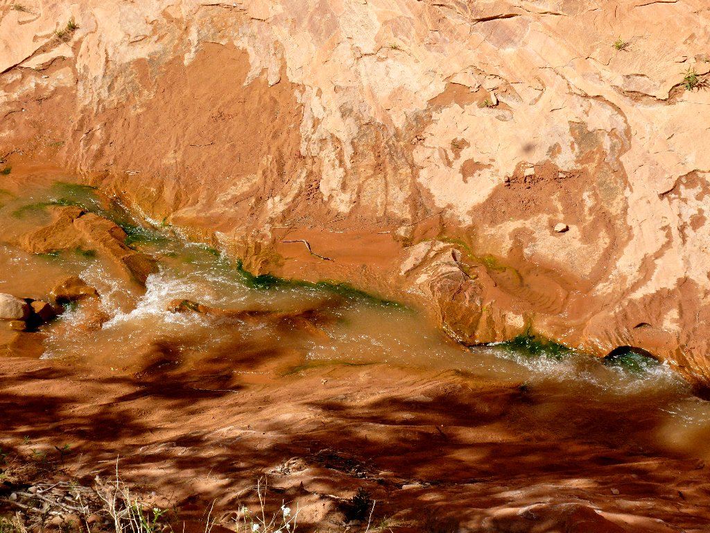
The creek is attractive despite the silt
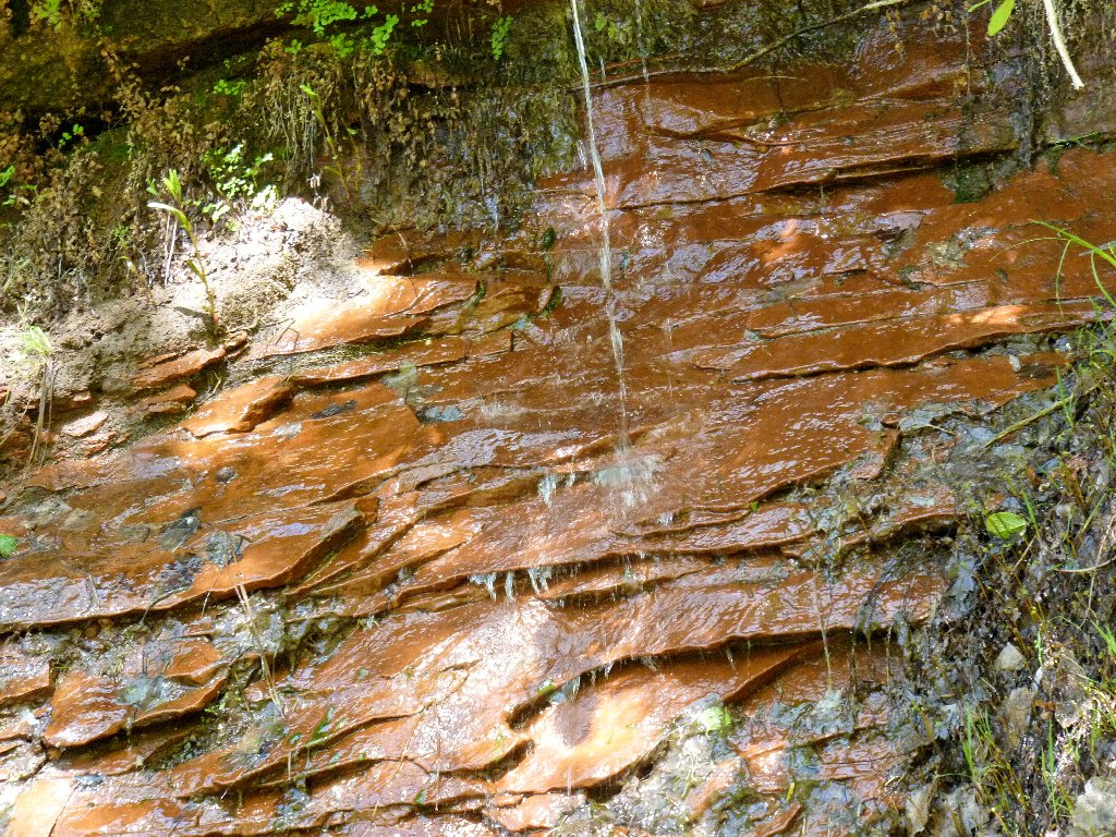
A nice spring
Mini-natural bridge
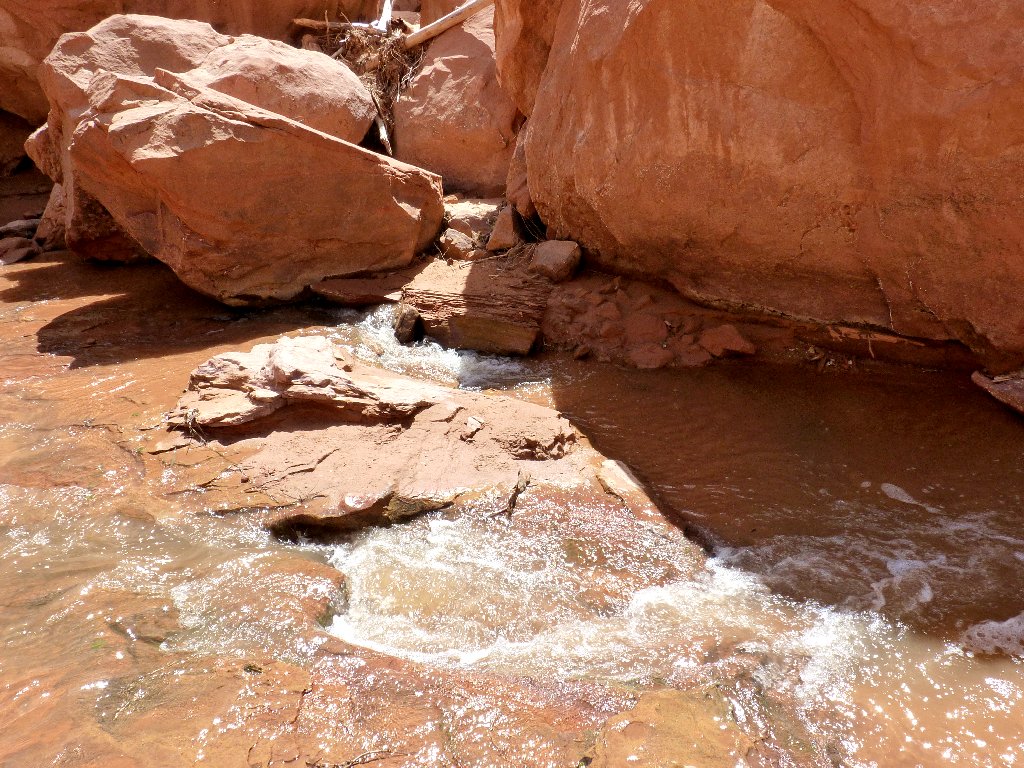
Although my boots are waterproof, they are only mid-height. I hope that the creek isn't too deep today, because it appears that I might have to spend a lot of time in it.
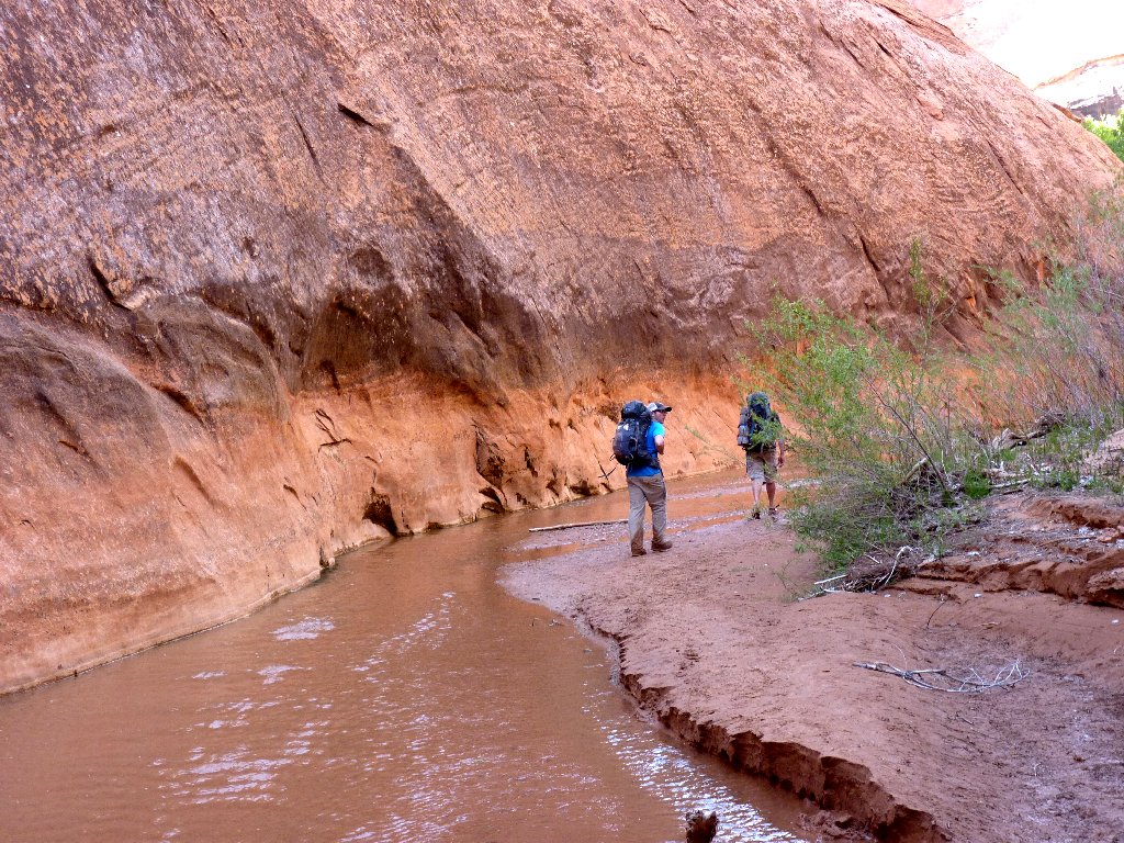
Typical crossing
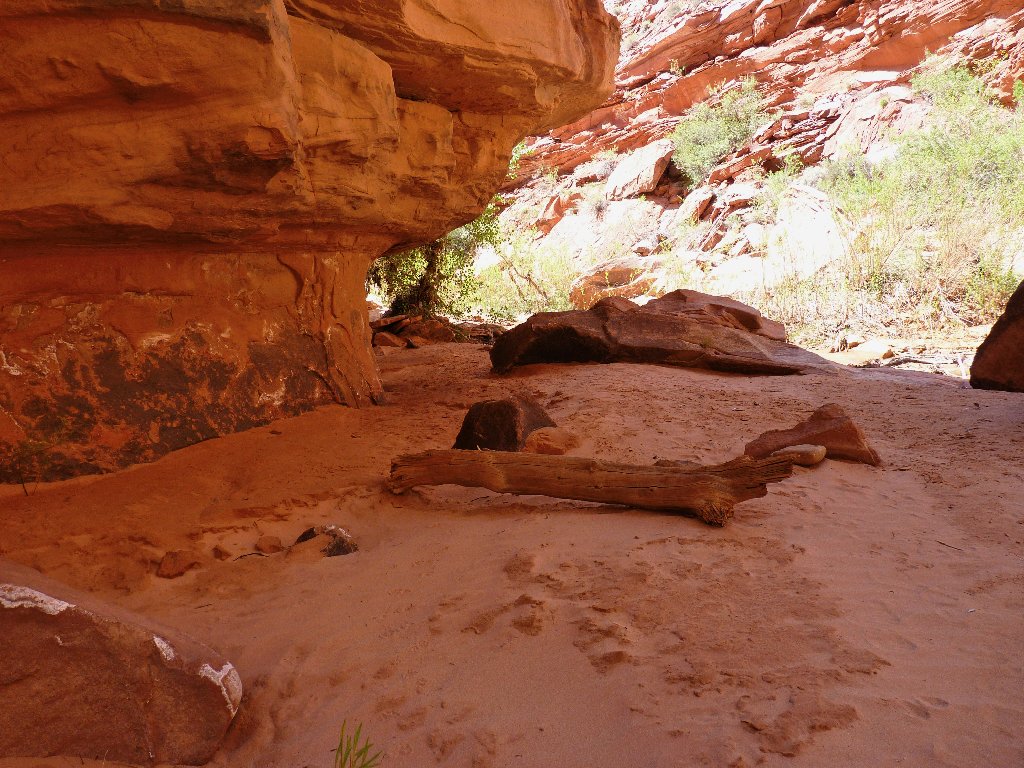
A pleasant alcove
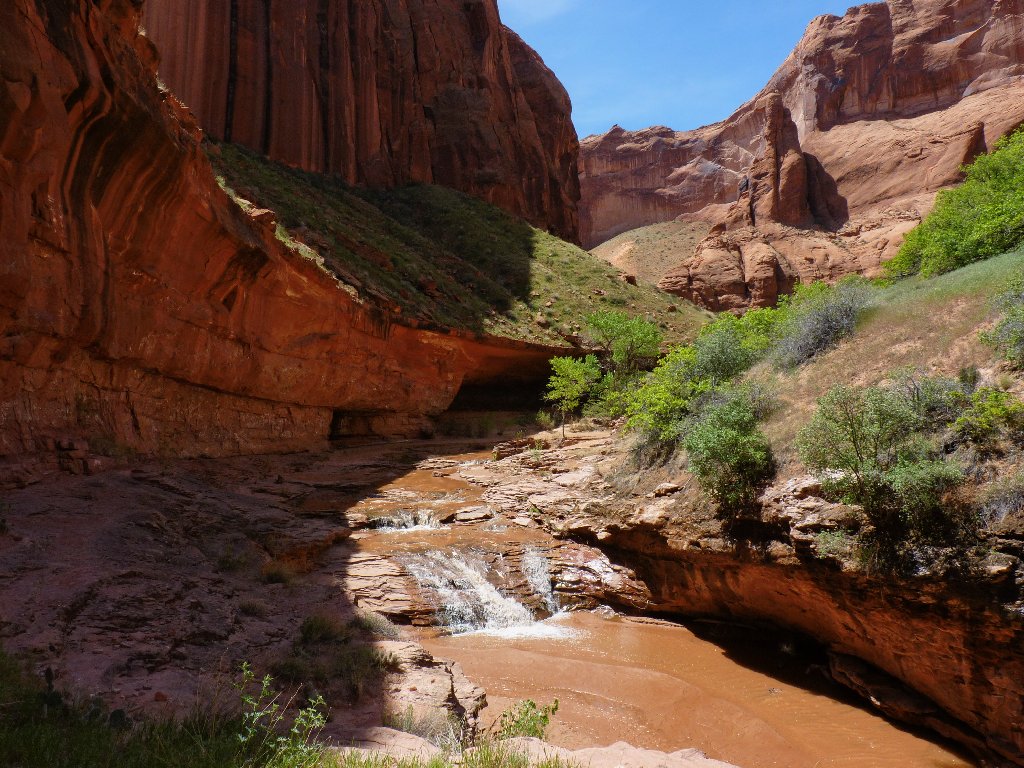
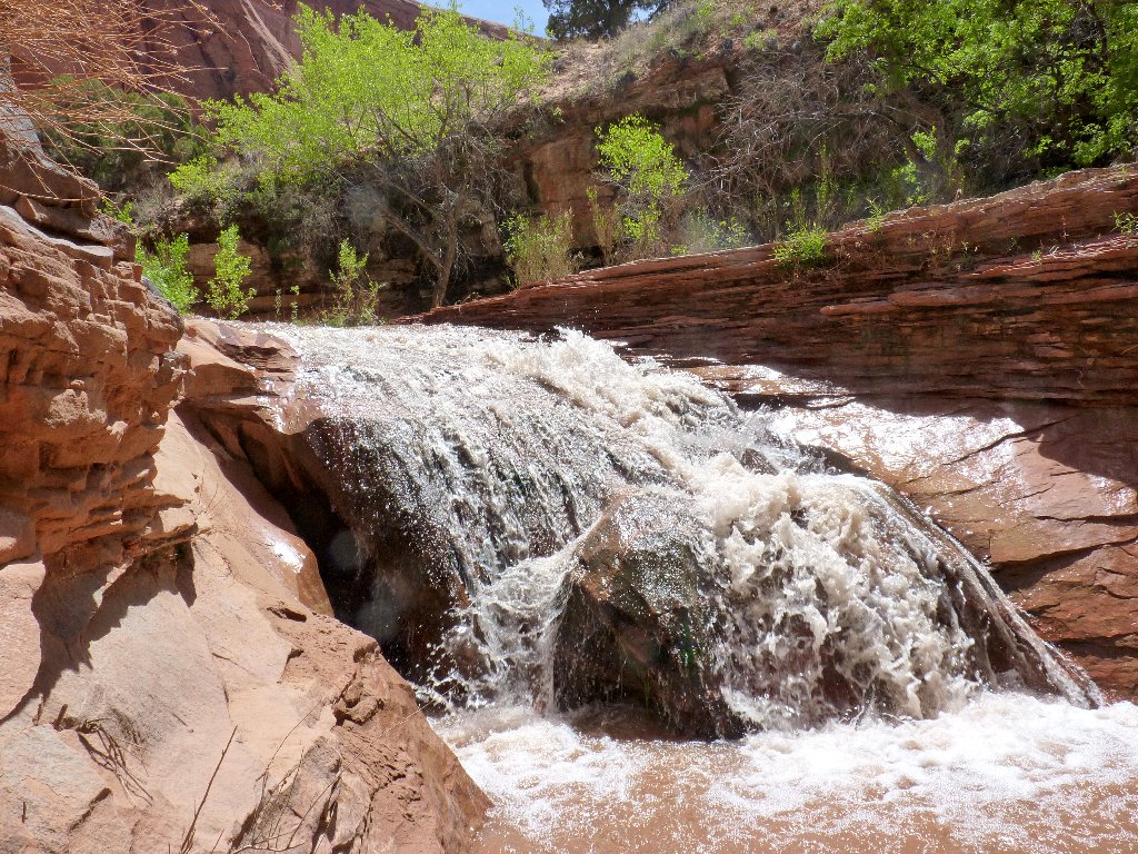
First waterfall on the route
Shady rest stop
A reminder that 'civilization' is only a canyon away
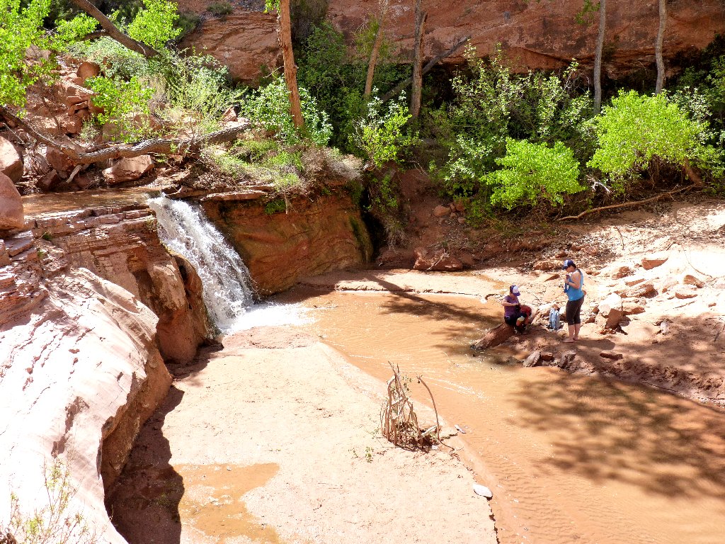
Second waterfall
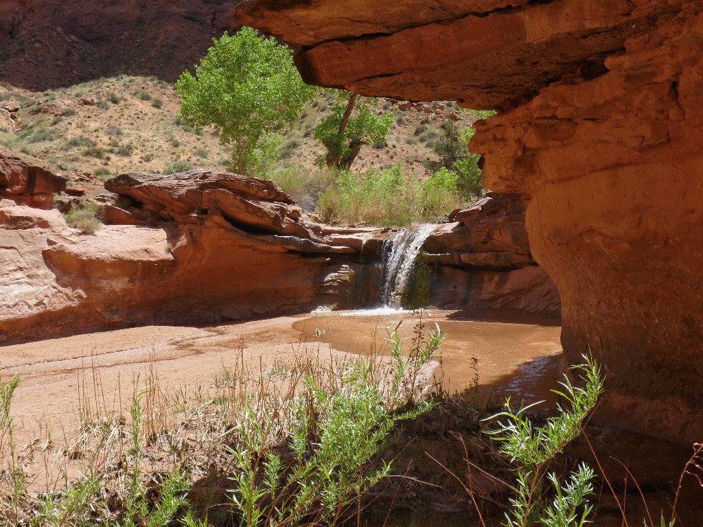
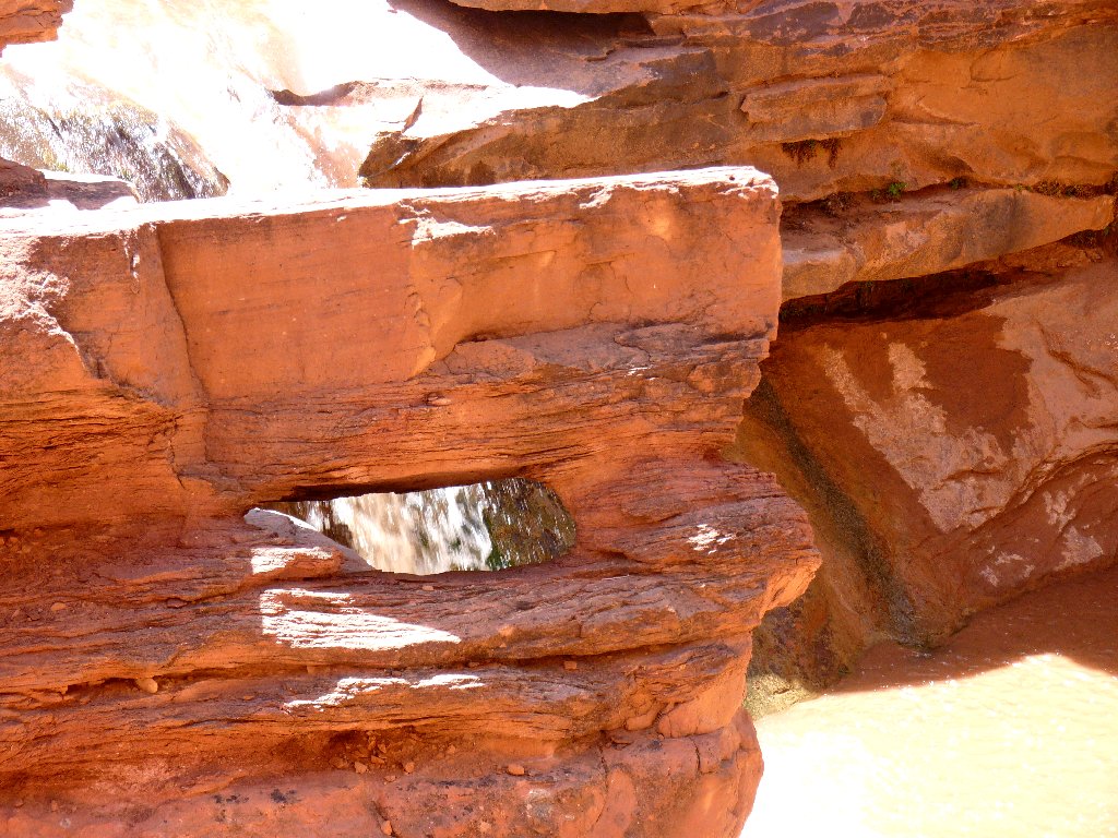
Third waterfall, replete with its own little natural bridge
Collectively, these are known as the Swiss Cheese Waterfalls.
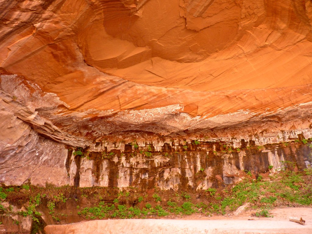
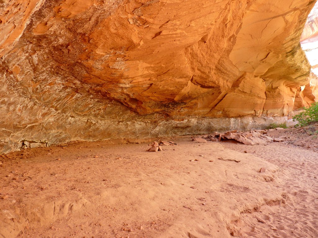
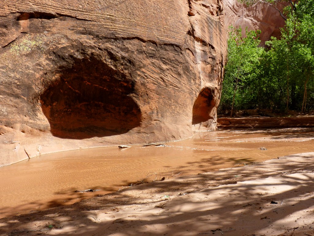
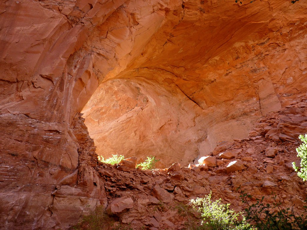
Another cave and its interior
Fouth waterfall — the one on the topo map
It looks like another arch over there
Yep, that's Cliff Arch
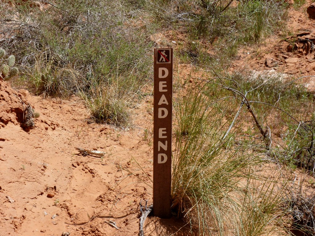
I must reject the false trail here and ford the creek
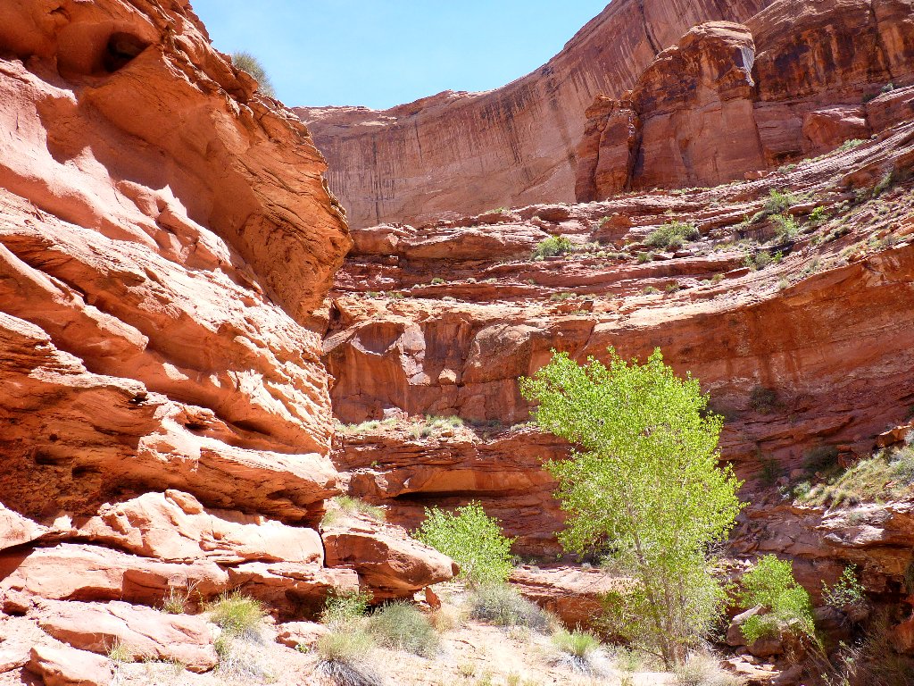
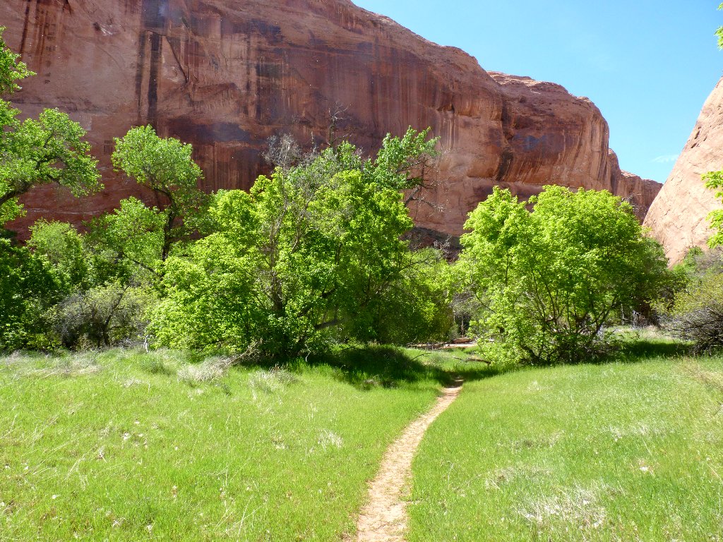
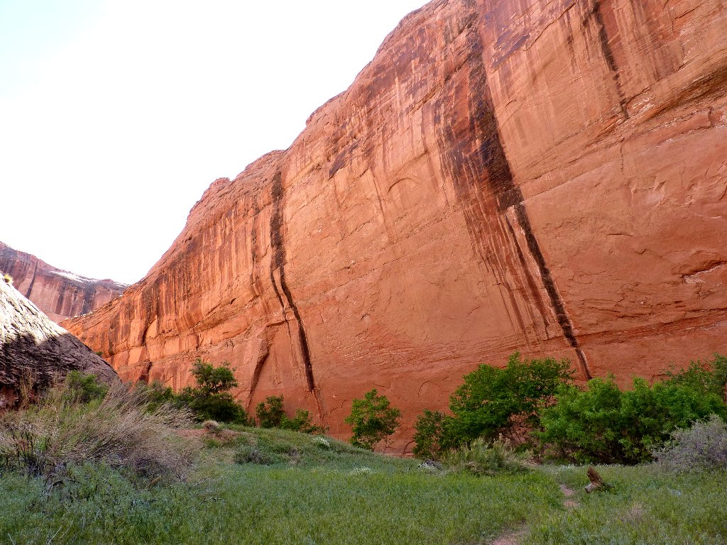
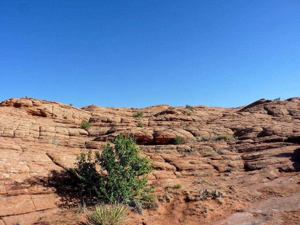
After the falls, the terrain mellows out a bit and becomes greener.
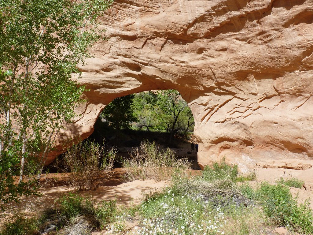
Arch in the making
Natural bridge in the making
At last, it's gravy-time! Just ahead is one of the most beautiful formations I have seen:
Coyote Natural Bridge ⇔⇔
From the other side
The only way through
Nice colors
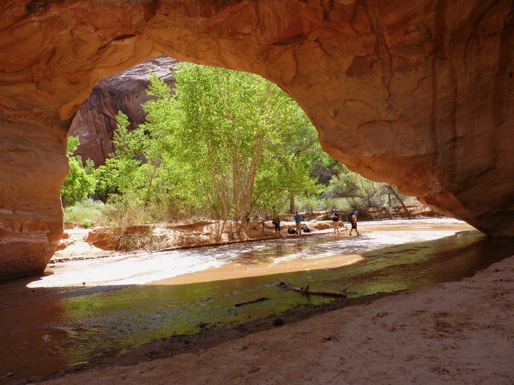
Presently, I reach the terminus of my gulch exploration:
Jacob Hamblin Arch
Jacob Hamblin (1819-1886), the "Buckskin Apostle", pioneer, scout, and Mormon missionary, was renowned for being an honest broker between the white settlers and the Indians. Today his home in Santa Clara, Utah is operated as a museum with daily tours.
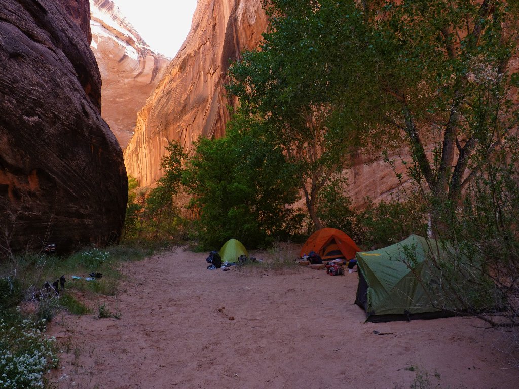
Some backpackers are ready for the evening
This is why I go hiking
I realize that my photos are not doing justice to this elegant structure, but the lengths of the shadows suggest that I had best not tarry. The crux of the mission is at hand. Another hiker shows me the way out of here a hundred yards downstream of the arch, saying that he watched a couple of kids scramble down from there earlier. This should save the trouble of a search.
The real adventure starts here
I clamber up the rocky draw, only to find a sign pointing to the area's potty. Up to the right is the cliff that must be conquered if I am to avoid spending the night here in a state of utter unpreparedness.
I must get up there somehow
There are supposed to be some ancient Moqui footholds gouged out of the
rock to help me get started; but I don't see them, and the encroaching darkness
isn't helpful. If there were more time I could explore further; as it is,
I can only shrug my shoulders, try to contain my apprehension, select what looks
like the least-difficult starting-point, and begin to climb.
After a couple of false starts, I make it up the first fifteen or twenty feet
with hand-holds and footing virtually nonexistent; only friction and balance
hold me in place. The one certainty is that all of my knuckles are white,
and I am sufficiently uncomfortable at the moment not to attempt any photographs.

My actual (steeper) route is out of sight to the
right ⇔⇔
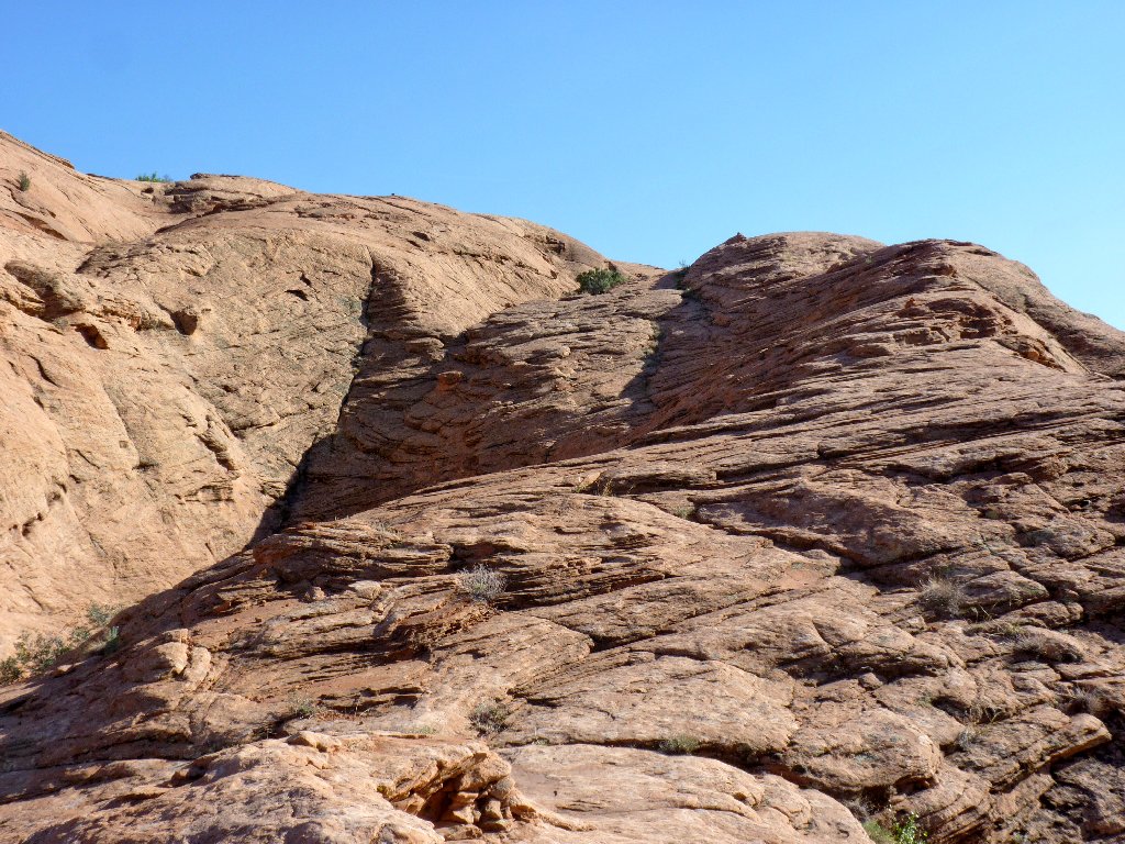
The worst seems to be over already, however. Although the slope remains plenty steep and foreboding, now there are occasional places to step and occasional things to grab.
Remind me never to go down this way
After a couple hundred vertical feet of cherry-picking potential routes,
the gradient has lessened to the extent that any residual anxiety can be put
away and I can begin to enjoy myself again. I'm going to make it!
This welcome stairway will be a cakewalk by comparison
It becomes easier by the minute, and the cairns are reassuring
Wow! I never have found it so exhilarating to be out of a gorgeous canyon. It is time for a breather and a comfortable look back at the top of Jacob Hamblin (also known as Lobo) Arch:
All sunlight has disappeared from the arch's opening.
I got there just in time
Free of the gulch now and armed with the euphoria of great accomplishment,
I can concentrate on finding a way back to the car. At the Visitor Center
a ranger had said that a cross-country route was fairly well marked;
but if so, I have missed it. That hardly matters, though; I simply locate
the trailhead on the GPS and head in that direction.
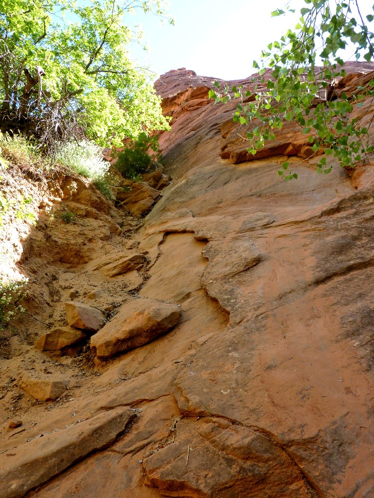
Lack of a trail is but a minor detail
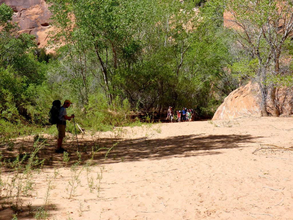
Hello. A troop of boy scouts is approaching from the alternative trailhead at the landmark water tank, headed down the way I just came up. I trust that the Scout Leader is ready with a rope and harness setup; for that group is going to need it, especially in the relative darkness.
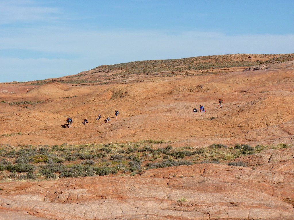

The young scouts might have little notion of what is in store for them
I don't know why those guys are starting down so late in the day; perhaps they did some other exciting thing earlier.
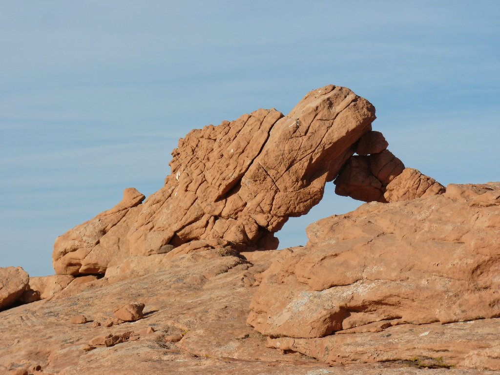
An unusual arch in an unusual setting ⇔⇔
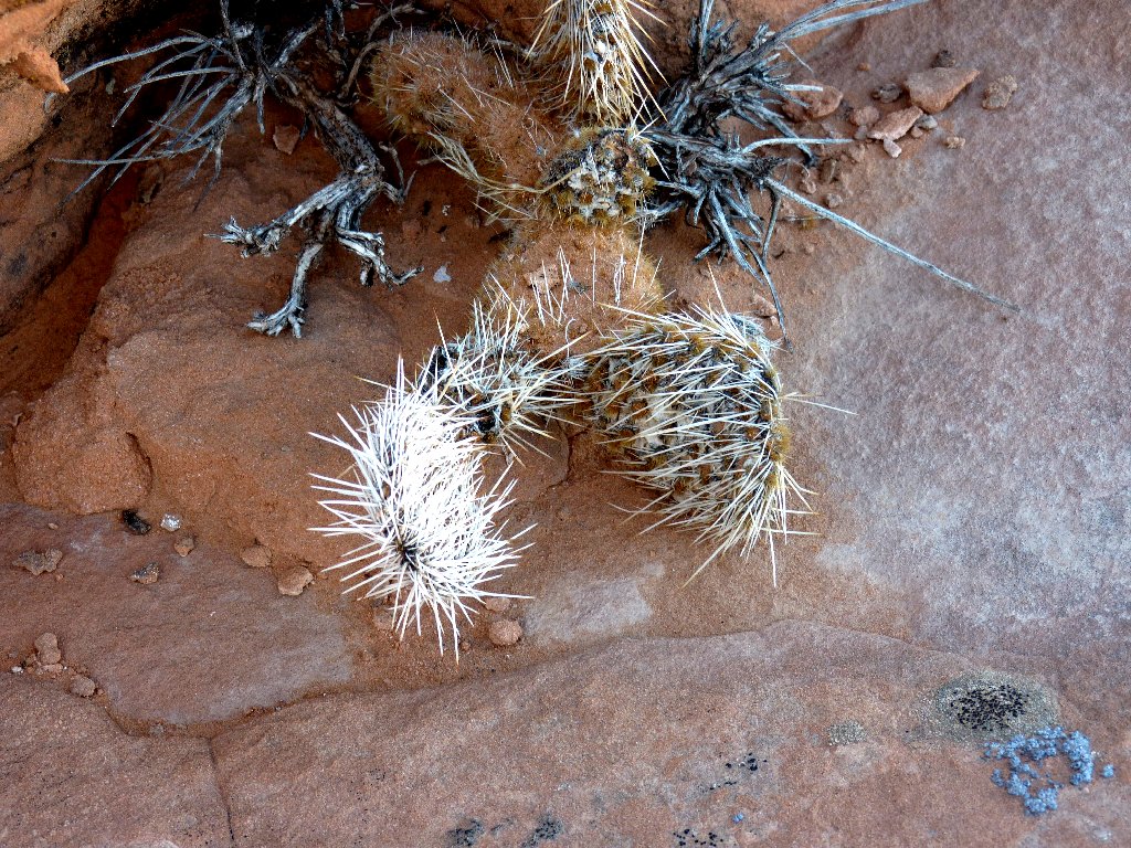
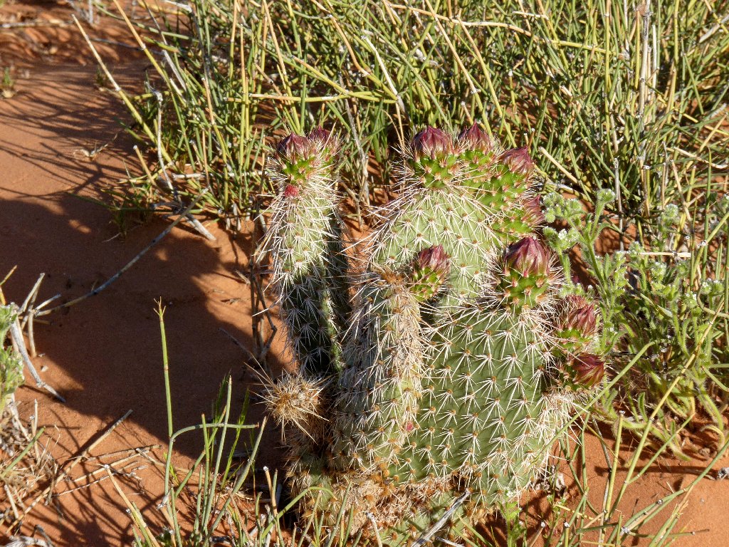
Plains Pricklypear
Relying upon the GPS from here
After more than two miles of up-and-down cross-country going, it is over. I cut this one too close for comfort, for little daylight remains. It's a good thing that my phone works out here so that I can call my sweetie at home, because I won't get back to town until 11 p.m.
Sundown is imminent
§: Oh, my! This walk had everything — adventure, arches,
waterfalls, natural bridges, route-finding, creek-fording,
crack-slithering, exceptional beauty at every turn, and even a modicum of
danger.
In retrospect, I am mildly irked at myself for not having started out much earlier. Because I was compelled to spend virtually the entire day moving, there was little time to stop and more fully enjoy the surroundings. In particular, I ran short of sufficient time to get the quintessential shots of Jacob Hamblin Arch.
Boy Scouts notwithstanding, it is my guess that most backpackers access Coyote
Gulch simply by ambling down Hurricane Wash, which is too far for a Ted-hike
but fine for a multi-day trip. My route is more reasonably suited to
day-hikers — either expert or foolhardy, and today I was a bit of
both. Yes, I knew the way, knew generally what to expect, and had my map and
coordinates handy; but I substantially underestimated the time and distance involved,
and tackling the semi-exposed free-climb alone was arguably imprudent.
Some might feel that I have overly dramatized that exit-maneuver;
yet judging from all the online photos and commentary of experienced hikers
resorting to the use of ropes there, I think not (see Addendum). The fact that
I handled it with relative ease at age 72, even while carrying a temporarily useless
walking stick in one hand and clambering about on boot soles not designed for
off-trail scrambling, means that the ascent was not particularly difficult at all;
but I was alone, and an accident would have ruined my day, and one slip of a foot could
have done it.
As it was, sufficient care enabled a happy ending to my third-longest and most
challenging hike ever. Subsequent reading suggests that the alleged Moqui steps are
about twenty feet west of the trail to the potty. Next time, I'll try to find
them. And I'll be doing it with sticky-rubber boot soles.
| Scenery |  |
| Difficulty | |
| Personality | |
| Adventure | |
| Solitude |  |
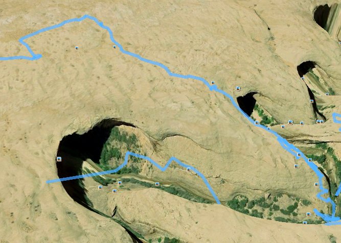
The gulch exit track on Google Earth

ADDENDUM
Those bloggers (and the predictably idiotic AI Overview) proclaiming that the
cliff-side exit at Jacob Hamblin Arch merits a Class-5 rating, or that
specialized gear and training are required, are totally out to lunch and might just be
self-aggrandizing their own accomplishments. Granted, this sort of
scrambling is not everyone's cup of tea; yet for many hikers, no external equipment
would be needed by many folk (I showed that), and no fall is likely to be
life-threatening. The specs for the route match the standard definition
for Yosemite Class-3 (let's call it 3.5). That's why it has been
nicknamed the "Sneaker Route".
That having been said, I do heartily recommend rope assistance for those with heavy packs or low confidence. Going down the route would be undeniably more difficult, and it wouldn't occur to me to try it either way if the rock were wet.
