
Auburn State Recreation Area
|
Lake Clementine Loop Auburn State Recreation Area |
March 23, 2014
At noon, there is absolutely no parking to be had anywhere in the Confluence area east of Auburn. I never have seen it this crowded here; it serves me right for not having left home until after noon.
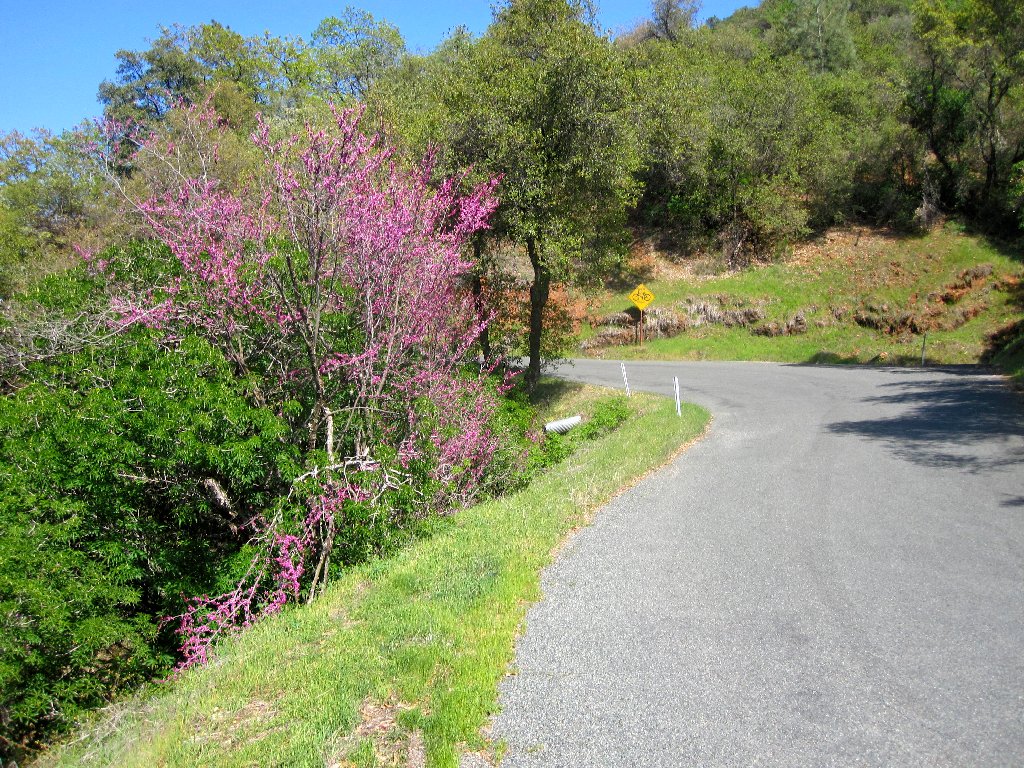
Continuing up Old Foresthill Road for a couple of miles, I spot a tiny
trailhead on the left. Lacking a real plan, I park here and set out
upon the Shortcut Trail. This is just what I had suggested a couple
of days ago — try a new path and see what develops.

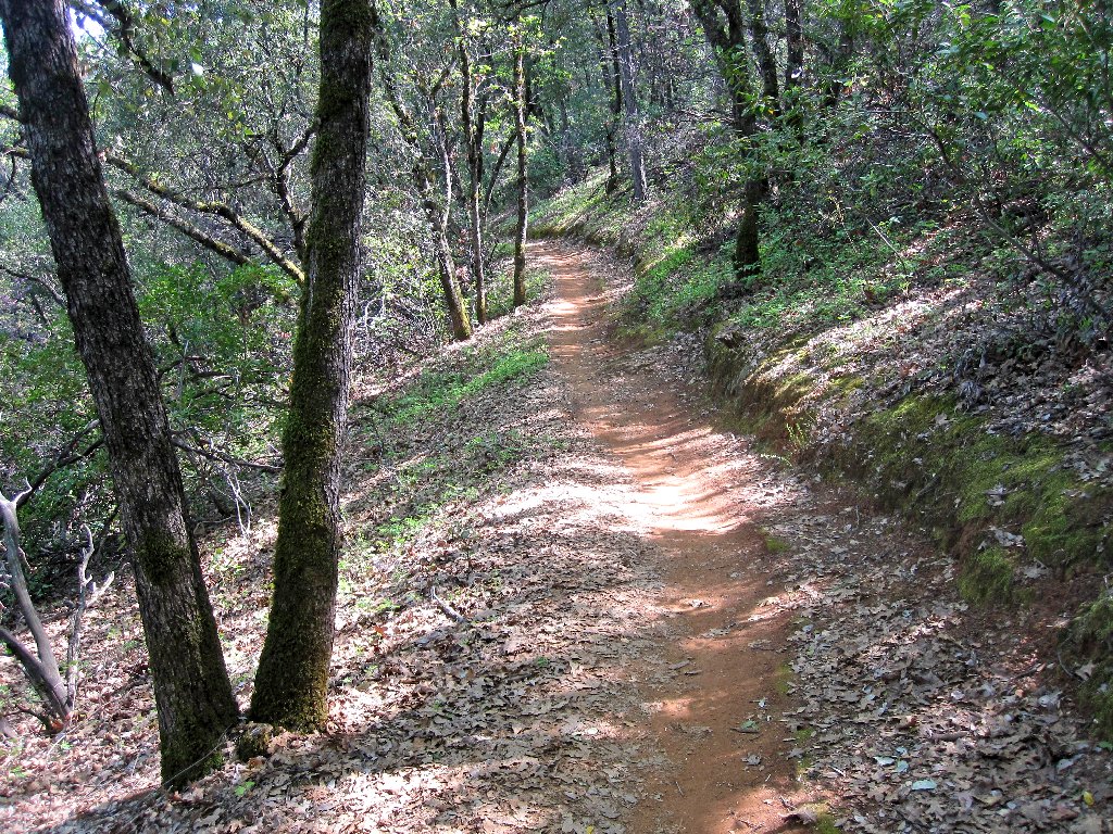
The Shortcut Trail
Today I am breaking in a new pair of Merrell Perimeter boots, not that they
are likely to need it (see Footnote). Within ten minutes I encounter the
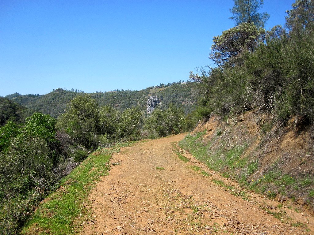
Foresthill Road. It is another quarter-mile northward to a junction
with the paved Lake Clementine Road, where a number of cyclists are unloading
equipment for a big ride. Yet another trail continues northeast to an old
road that appears to head downward toward the lake; that looks like a good
choice. Numerous bikers pass me on the way over to this road.
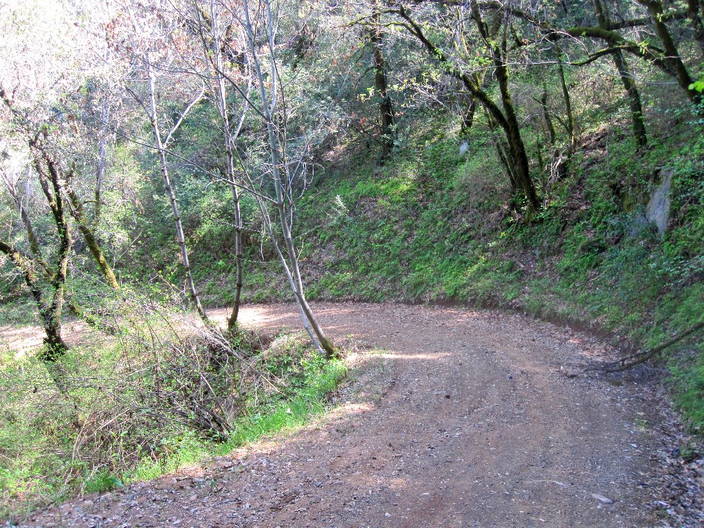
Easy walking, but steep enough in places that I am tempted to run
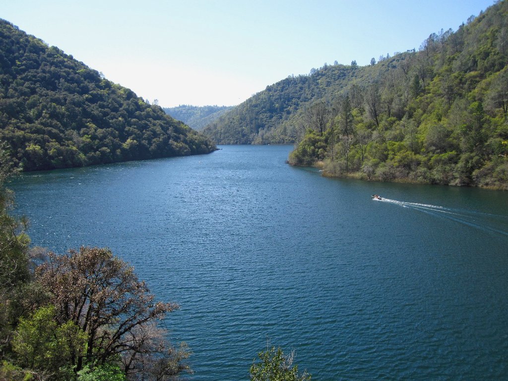
It is about an 800-foot drop to lake level. Of course, this is not a
lake at all, but one of those other things. What do they call them?
Ah, yes — reservoirs. And there is nothing wrong with
calling something what it is; but can you imagine a young boat owner inviting
his sweetie for a romantic outing on... "Clementine Reservoir"?
Nope — "Lake Clementine" it is.
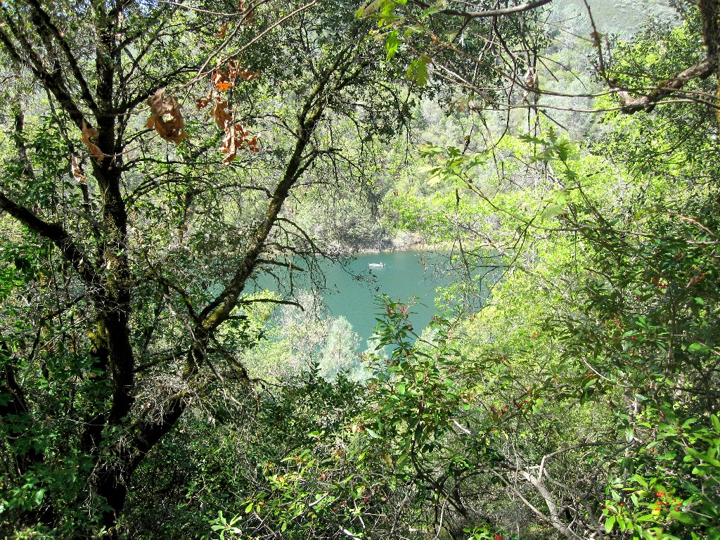
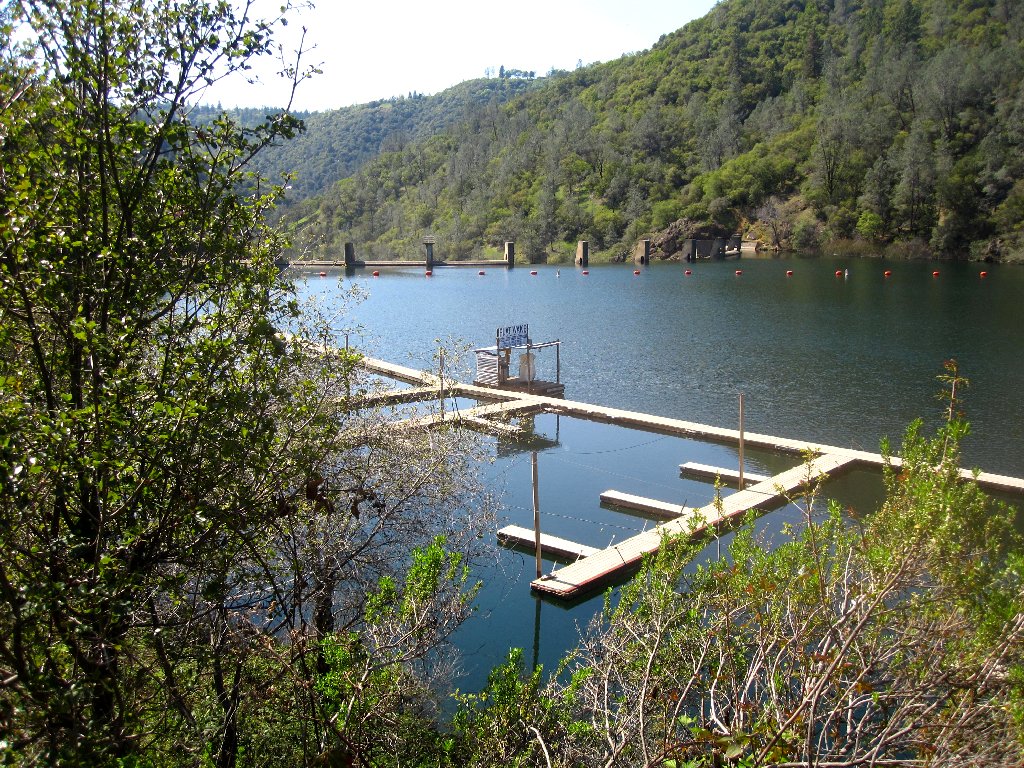
Peaceful boating on Lake Clementine
The road turns southward along the lake shore, then ends at a little bay containing
something I have not seen before — an armada of floating potties!
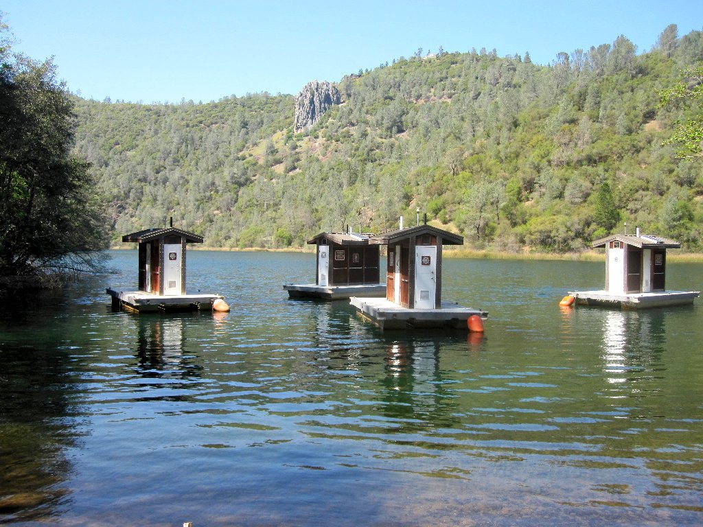
Awaiting the cross-legged boaters
I assume that those things will be towed to strategic locations during busier
times; meanwhile, I must search for the hoped-for use trail that continues
west beside the lake. I will be disappointed if it proves necessary to
return the way I came.
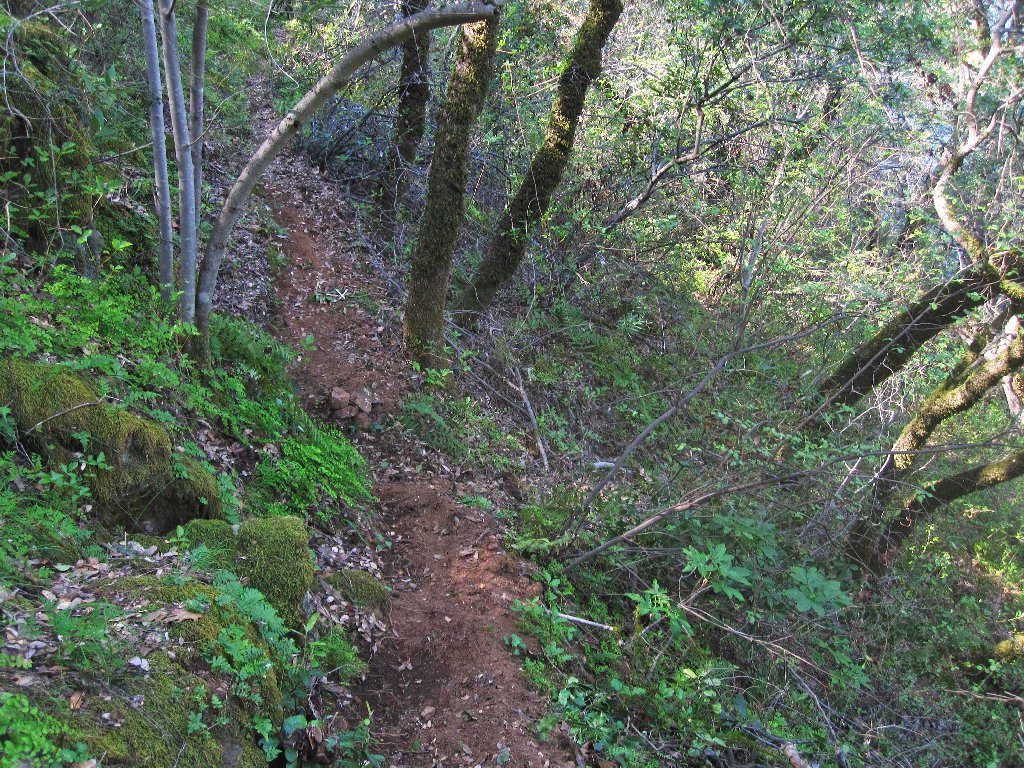
Not much, but it is a trail
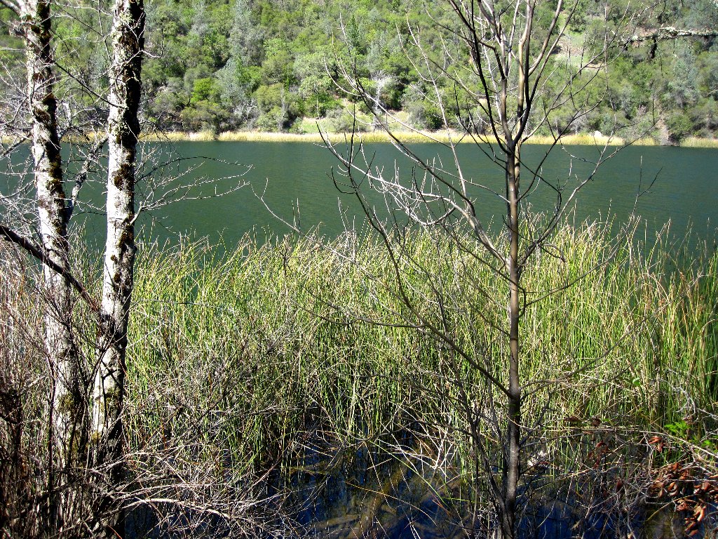
It's a long walk to the dam
Hooray! A primitive path does exist; but it is so skinny that it is impossible not to brush against the poison oak plants. Now I wish that I had brought a walking stick, for any attempt to use a hand for balance around here could result in the grabbing of an unfriendly bush.
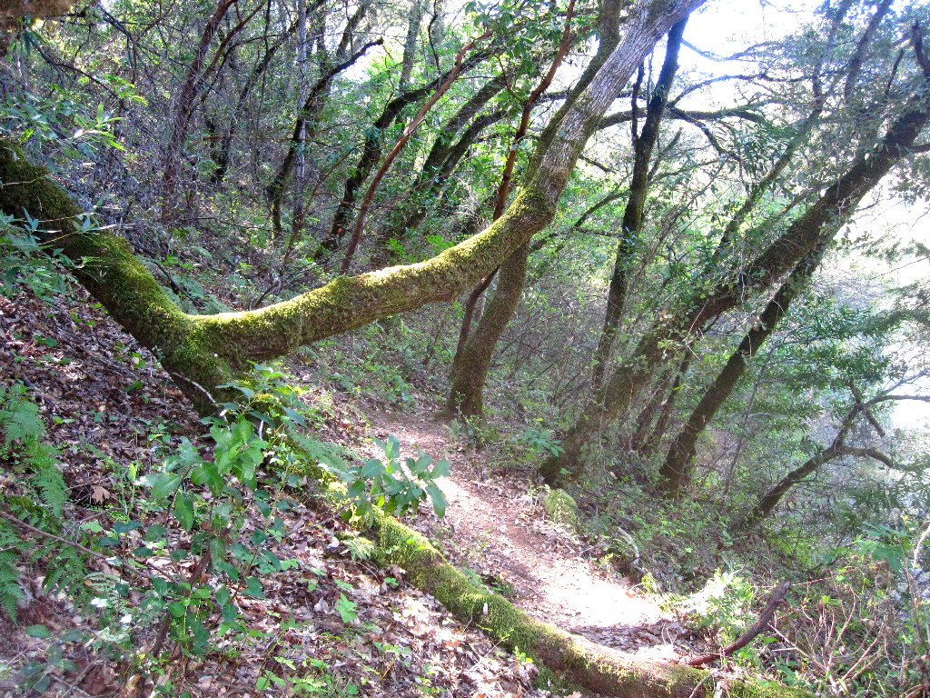
As expected, the trail eventually becomes wider and more hospitable as I
near the boat-launching area. It appears that this adventure
will enjoy a successful conclusion.

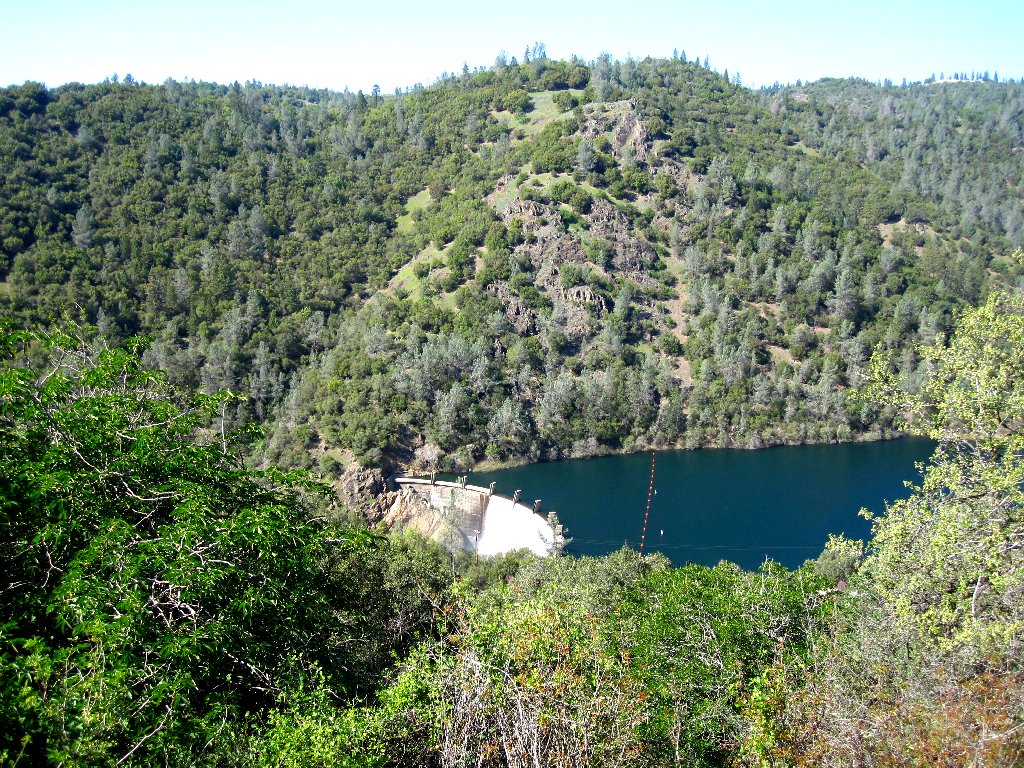
North Fork Dam finally appears
There isn't much activity today
It is time for lunch, and I know just where to stop. This dam's spillway, designed to be a waterfall, just happens to be the prettiest place within forty miles of home, and it is roaring majestically as usual. Oh, my!

This is why I go hiking
North Fork Dam, 155 feet tall, was constructed in 1939 to contain
gold-mining debris washing downriver, of all things.
Today the reservoir is nicely managed in that traffic is controlled,
certain areas are off-limits to power boats, and both alcohol and
dogs are prohibited. The derivation of the name "Clementine" is unknown.
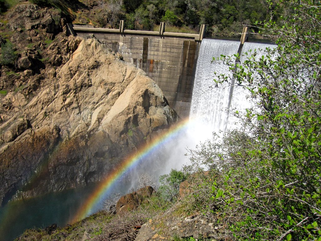
The ever-present rainbow
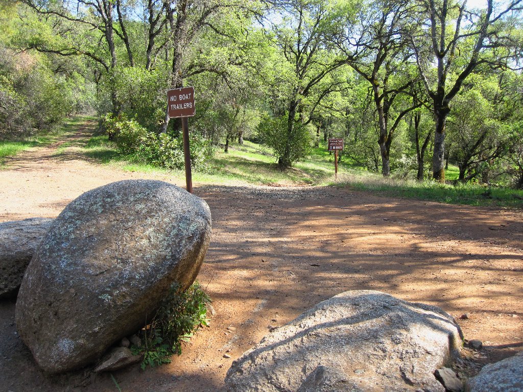
From here there is a choice of routes, but I will call it a day by taking the path of shortest distance and least resistance up the roadway to complete a loop.
Lake Clementine Road
Last view of the reservoir lake
On the way up the hill, a driver offers a ride; yet I respectfully decline, remembering that I am here by choice. From the top of the hill, it is but another fifteen minutes down across the main highway to the car.
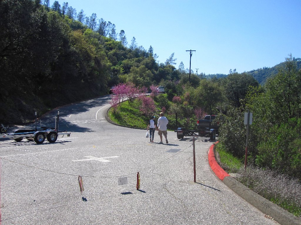
Bicycle staging area
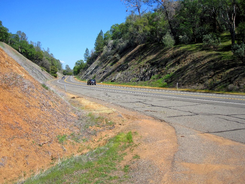
Foresthill Road
§: Mission accomplished — seven miles of new route; and subsequent
examination of a park map does not show my lakeside trail, which makes it
all the more fun in retrospect. It remains to be seen whether I will have to
suffer another two weeks of itching and scratching, but this walk was worth it in
any case. And all the cyclists were quite courteous.
| Scenery |  |
| Difficulty |  |
| Personality |  |
| Adventure | |
| Solitude |  |
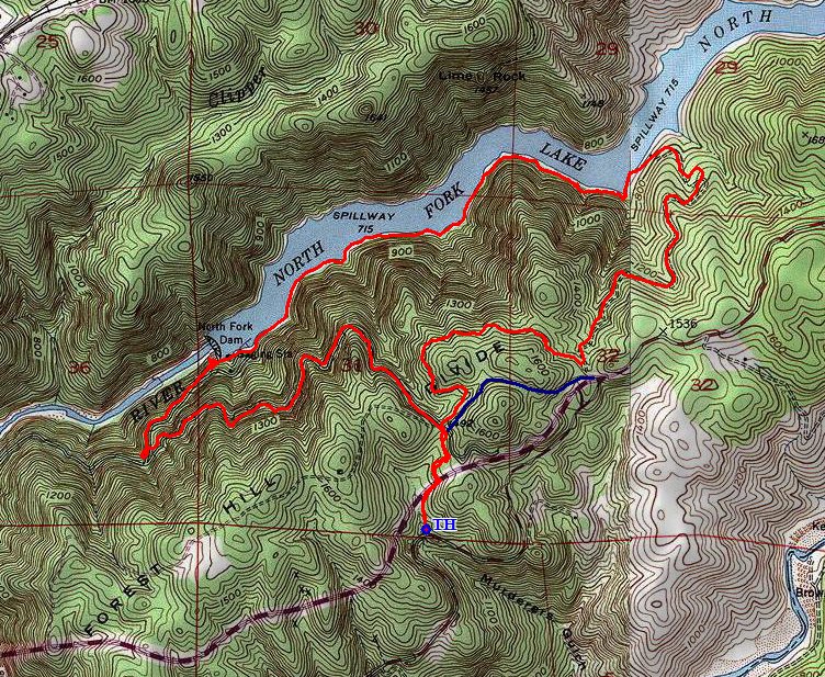
The route (counter-clockwise)

UPDATE, April 2023 — Choose Another Trail
I am sorry to say that most of the lakeside route has become so overrun from disuse
that I no longer can recommend it. On today's walk, I was compelled to clamber over
fallen trees several times and literally crawl underneath bushes several times.
I even lost the 'trail' temporarily in one place, which made the going all the
more difficult. And perhaps worst of all, it was impossible to avoid contact
with all the poison oak.
If you still seek an alternative walk around here, the first quarter-mile or so of trail beyond the boaters' parking lot remains relatively well-maintained and friendly; but once you lose sight of the dam, you soon will lose interest in the trail as well.

ABOUT MY NEW BOOTS
It is said that Merrells rarely need to be broken in, and today my new Perimeters
proved no exception. I purchased these replacements some time ago lest the model
become totally unavailable. Although the old ones haven't yet worn out even after
seven years, they served me so well after I tore a tendon back in 2007 that I didn't
want to risk being without them in the future. This boot's ultra-protective
full-length lasting board isn't even offered by most brands, and the bright blue
laces are the envy of other hikers!
Admittedly, however, because my plantar fasciitis has more or less abated,
I tend to reserve this relatively weighty footwear for 'heavy-duty'
applications. And that is just as well; these boots need to last me
forever, because they have been out of print for five years. And no, I don't
work for Merrell.
