
Auburn State Recreation Area
|
Foresthill Bridge Area Auburn State Recreation Area |
March 21, 2014
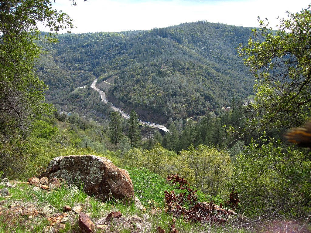
At the American River Confluence, there are so many trails that I have not yet explored them all. Parking as usual at the Training Hill trailhead, I cross the highway bridge back to the junction with Old Foresthill Road, finding that there barely is room to squeeze by the automobile traffic.
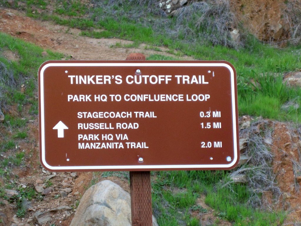
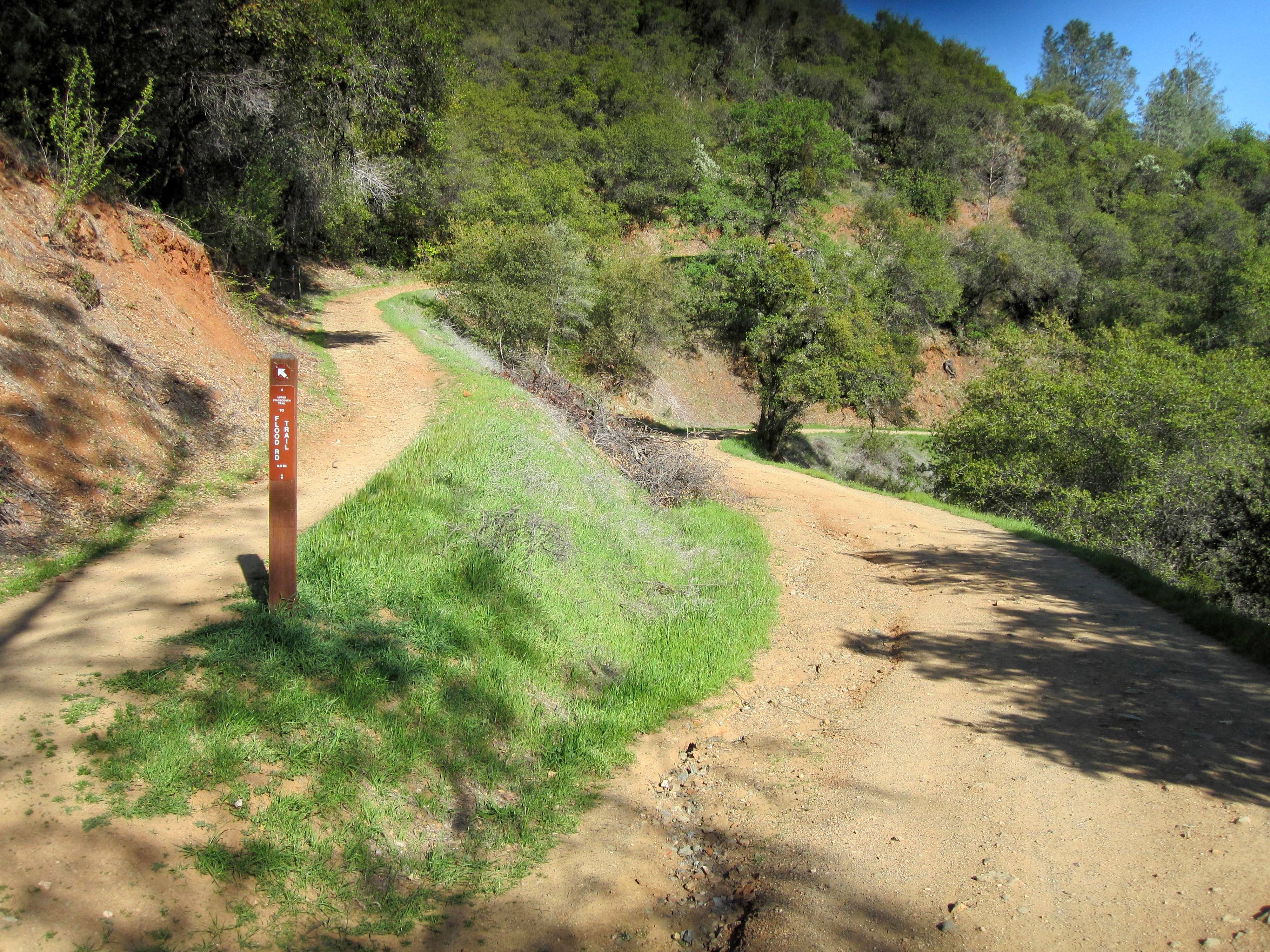
It's an official route
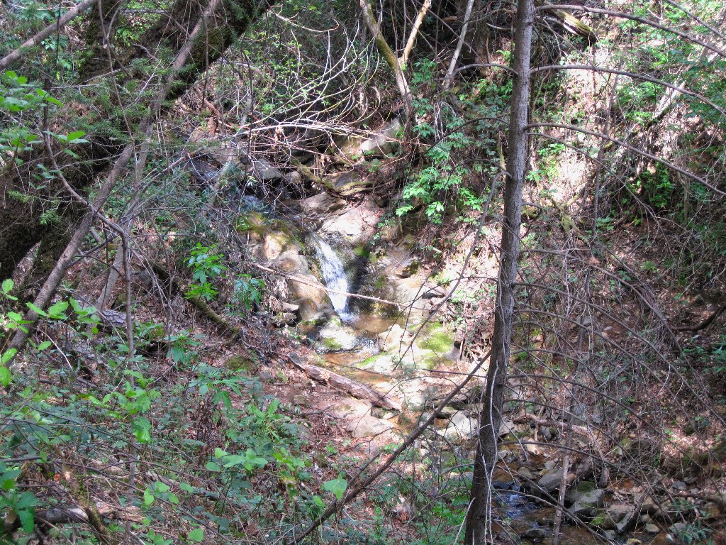
Unexpected water flow
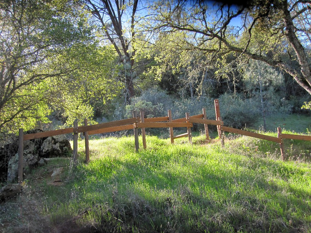
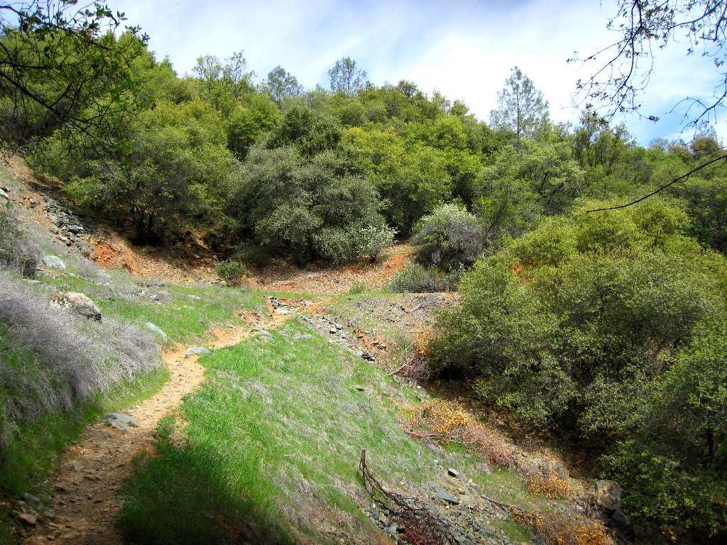
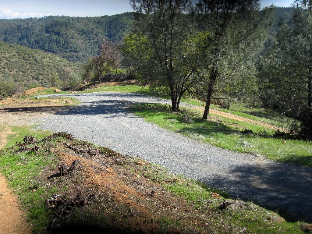
The trail initially winds quite steeply up the slope to a road that must be a portion of the old stagecoach route. After negotiating some tricky fencing designed to keep out horses and vehicles, I turn left up the hill.
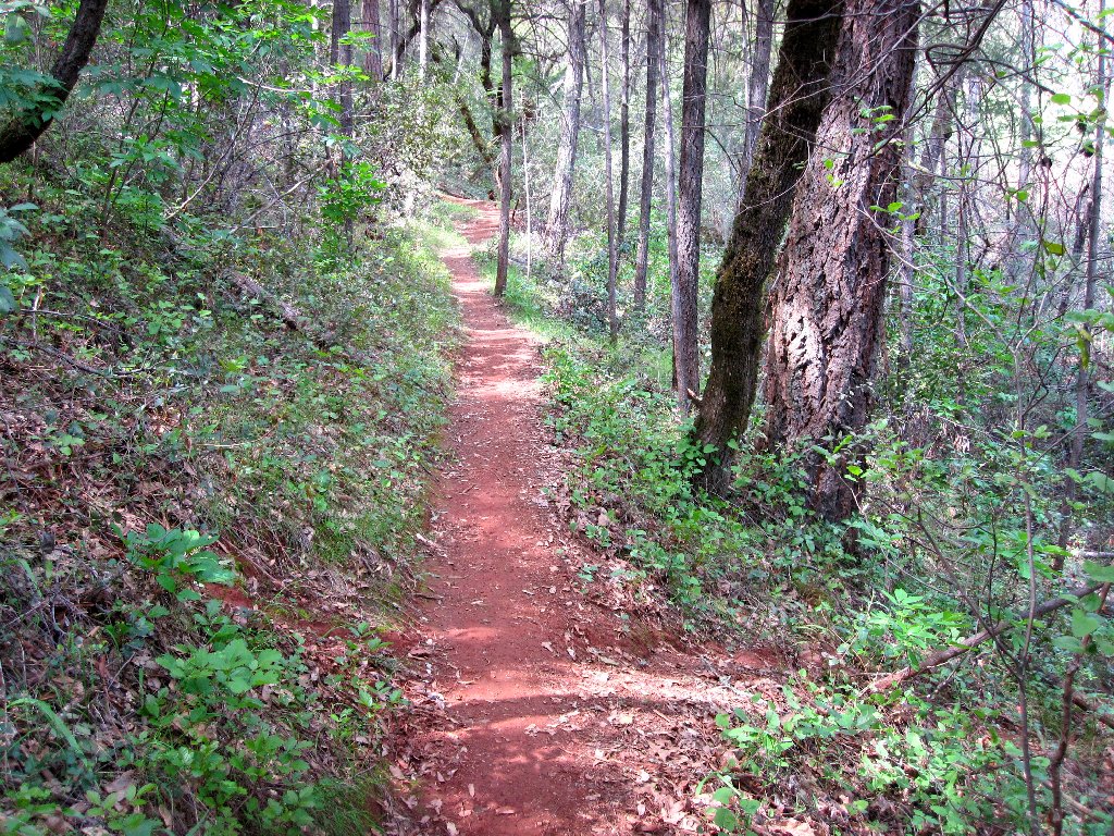
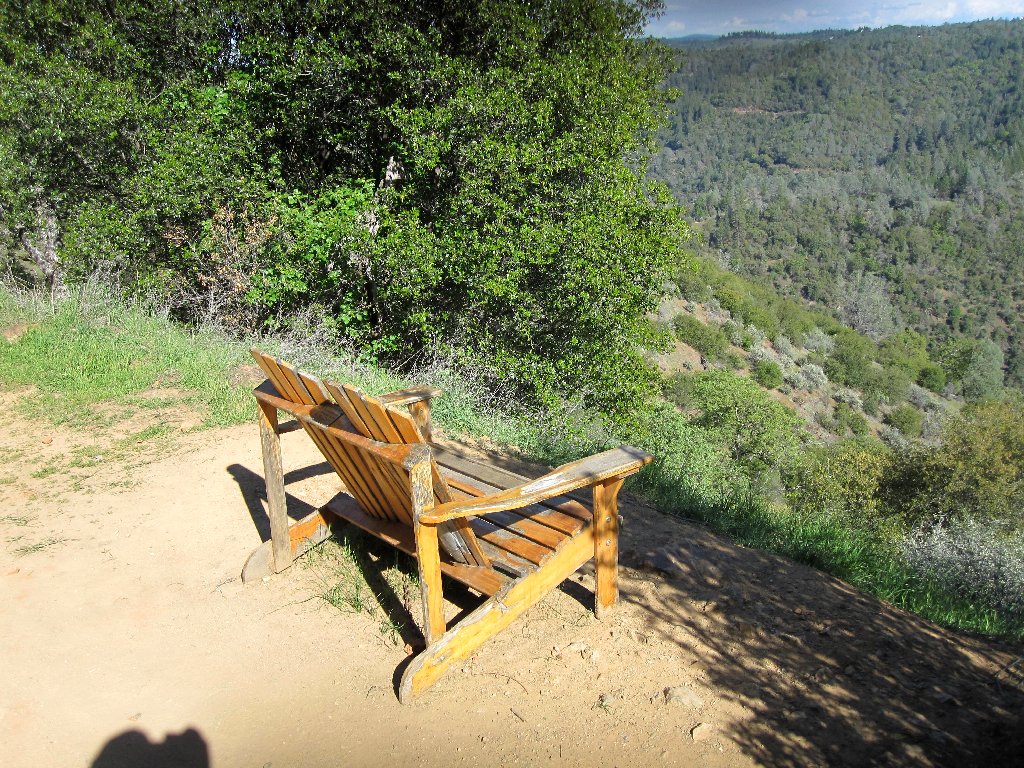
Pleasant going
No equestrians in here
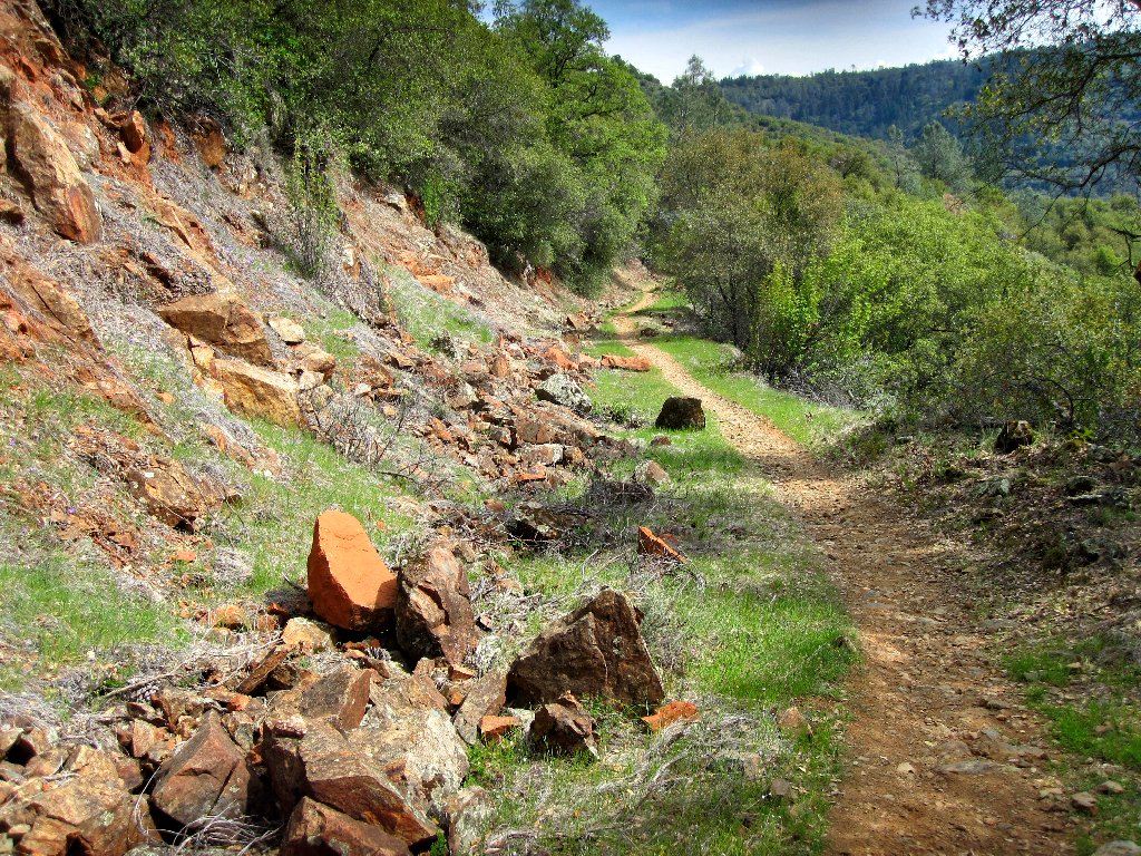
Up 600 feet already
More to go
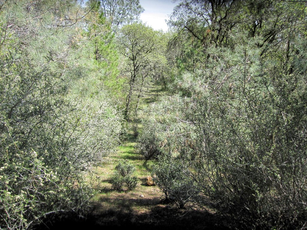
I had no idea that there were so many route options on this north side of the Confluence. It is just as well that I have no particular itinerary today, and don't care where I end up.
Following my nose to the right at yet another junction, I presently encounter
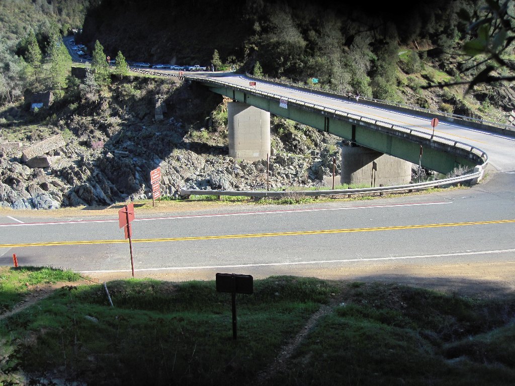
the monster Foresthill Bridge. Standing 730 feet above the North Fork,
it's the highest auto span in the state and the fourth-highest in the nation.
Opened in 1973 at a cost of $13 million to accommodate the ill-fated
Auburn Dam, the bridge currently is undergoing a three-year,
$74 million retrofit. Without that facility, traffic at the
Confluence would be downright intolerable.
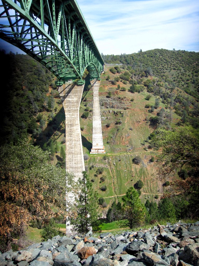
Foresthill Bridge
Pausing to take a leak, I suddenly notice a few bridge workers directly above me. Oh, well.
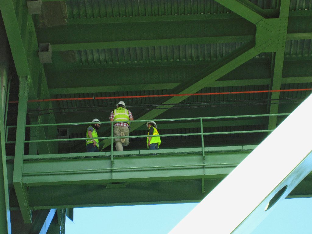
They're too busy gabbing to notice me
From here, accessing the roadway necessitates steep climb up through a rocky jumble.
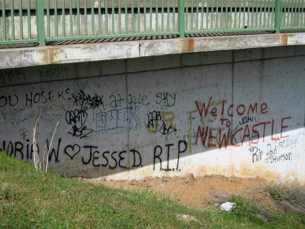
The inevitable graffiti
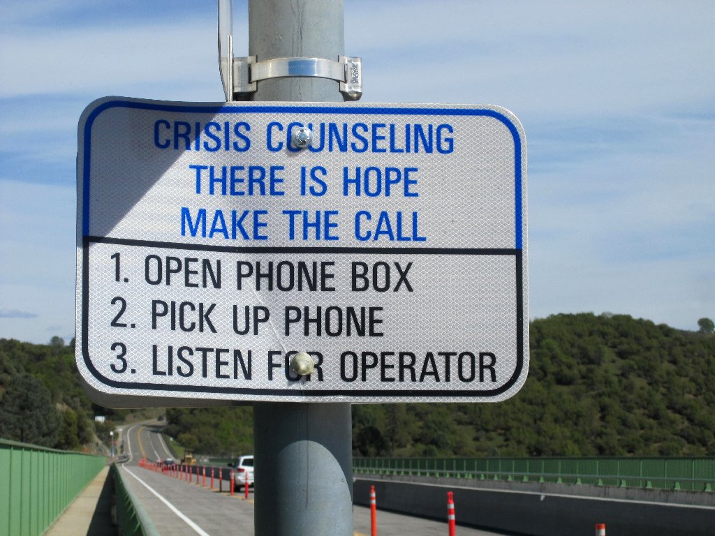
The 6-foot fence should thwart most would-be jumpers
As long as I am here, I might as well cross the bridge.
The south-side pedestrian path is closed for construction,
so I cross to the other side. There is barely room between the
fence posts to shove a camera through for a photo of North Fork Canyon.
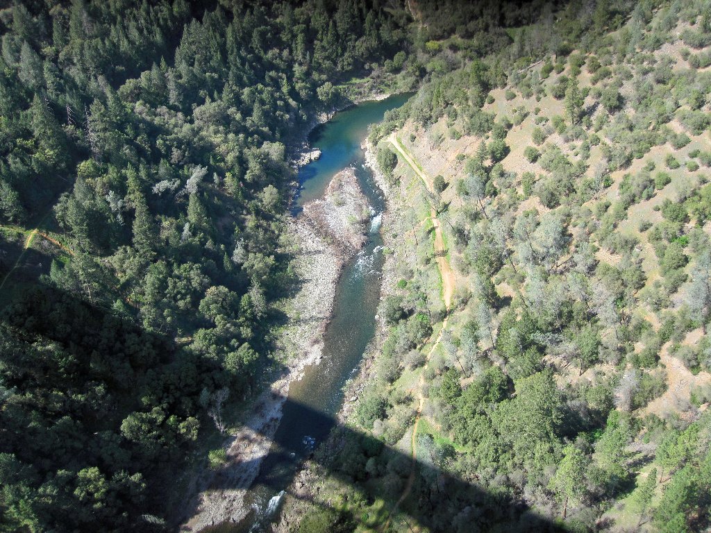
The Clementine Trail is way down there
The bridge walk proves to be just under half a mile long. At its
eastern end, I pass through a Gate #114 hoping to find a shortcut over
to the Clementine Dam Road. That does not work out; for after a
half-mile horseshoe route, I am back virtually where I started.
Putting my Walkman over my ears, I head back across the bridge.
Route to nowhere
Starting back down
This time I will follow a road down the hill, avoiding that
extra-steep use trail underneath the bridge.
The old path
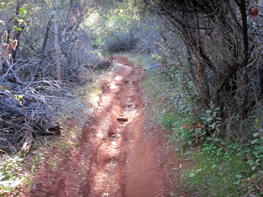
A new path
After stopping briefly to munch my standard lunch of grapes and gorp, a new route takes me to a junction with a trail leading up to the park headquarters. Having previously thought of going that way, it now looks as if it will save a couple of miles just to head straight back down the way I came.
Only now do I encounter my first fellow hikers of the day, including
a pair of women with matching T-shirts and matching dogs as well.
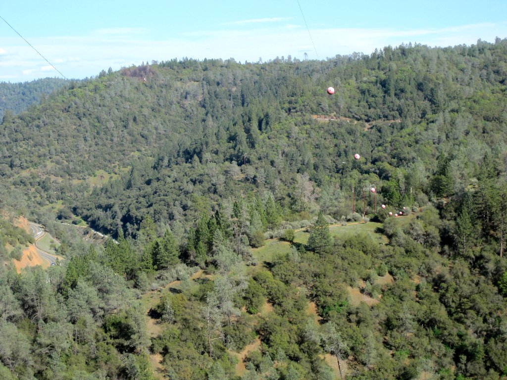
The ball-studded cable purports to keep airplanes out of the area
The car is right over there
§: A round-trip traverse of a highway bridge is a rather bizarre
destination for a serious hiker, and I certainly will not recommend it. The rest
of the walk was rather fun, however, it being on previously unexplored pathways.
No trail in this area is overly exciting; I hike here invariably just to mark time and get some exercise while waiting for the mountains to open up. There are some interesting spots to be found, however, especially near the American River. It is virtually impossible to become lost around here, so an adventurous soul could simply head out any which way and see what happens. There are many choices on both sides of the highway.
| Scenery |  |
| Difficulty |  |
| Personality |  |
| Adventure | |
| Solitude |  |
